Across the English Watershed
Day 6 - Barnard Castle to Brough (18 miles 30 km)
To enlarge map click on the + control sign
The Barnard Castel to Brough section is long - about 32km or 20 miles. It's also where my walk left the Teesdale Way and headed off westwards across the Pennine watershed, crossing from Teesdale to the Eden Valley and reaching the walk's highest altitude of about 465m. Fortunately, I was blessed with sunny and dry weather, but had to walk all day into a strong westerly wind of about 20 mph, which slowed me down noticeably and, at one stage, made me question the wisdom of continuing to attempt to reach Brough.
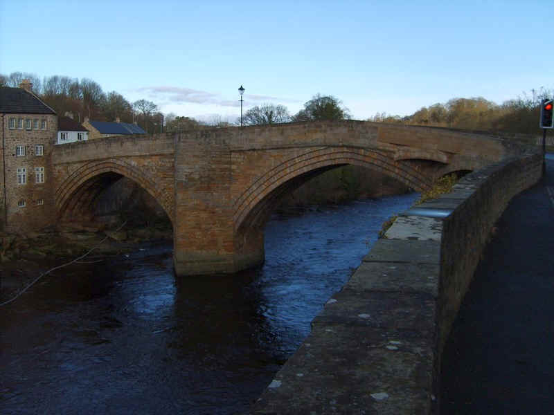
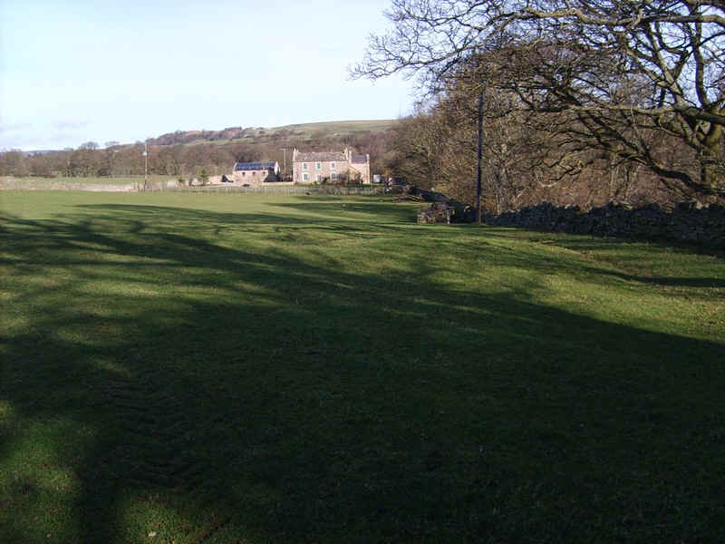
Leaving Barnard Castle the Teesdale Way crosses the river at the bridge...
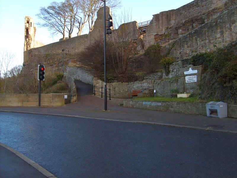
.....beneath the castle walls...
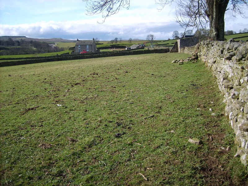
.....and continues along the B6277 passing the gates of HM Young Offenders Institute Deerbolt.
The Way then leaves the road ...
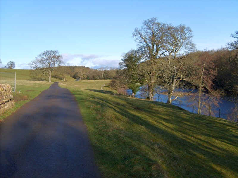
.....along a paved lane by the riverside...
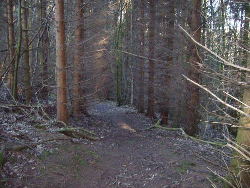
.....and eventually into woodland before the path branches off and...
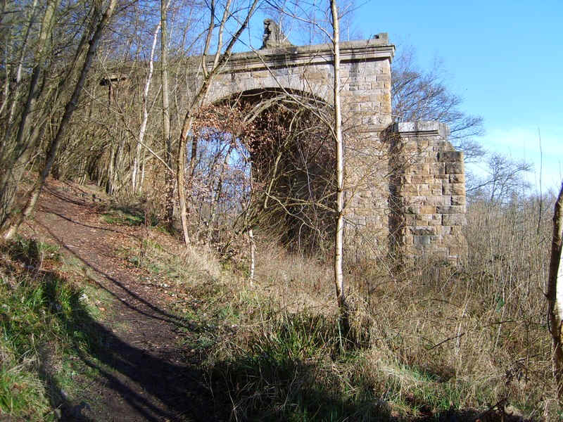
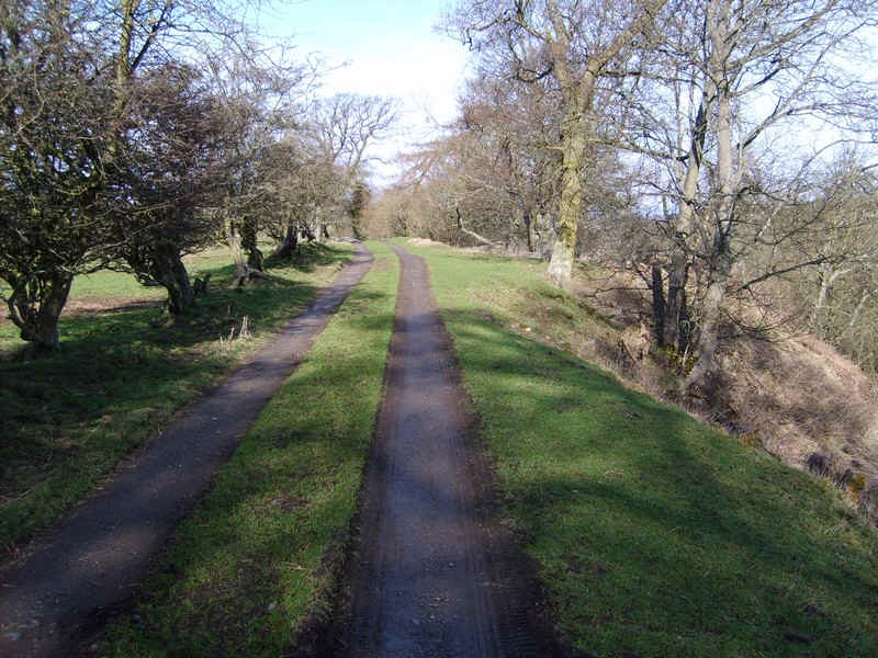
......climbs up the valley side under the remains of the old railway viaduct.
Crossing the track bed of the Middleton-in-Teesdale branch, the path heads across fields towards...
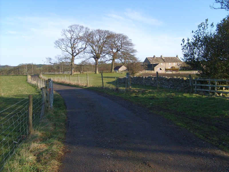
....Towler Hill Farm..
....where it turns left....
..and soon sharply right to follow....
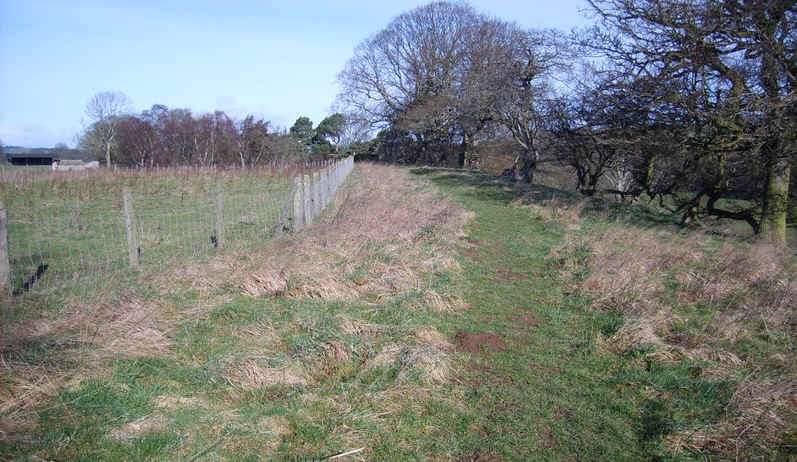
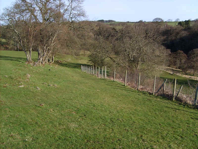
.....the field boundaries..
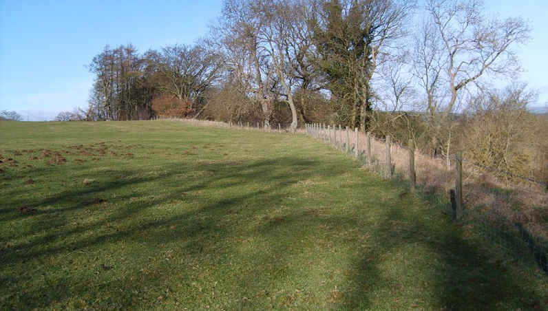
....rising until views of the river..
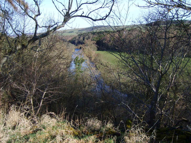
....can be seen far below. In summer of course these views would be hidden by foliage.
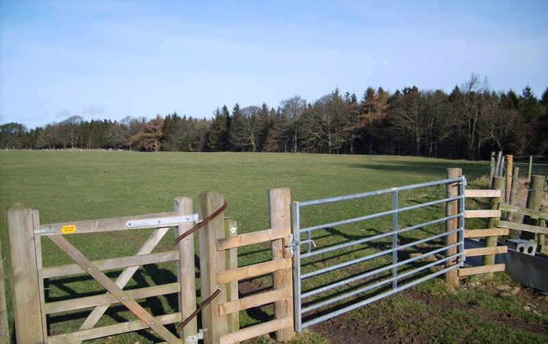
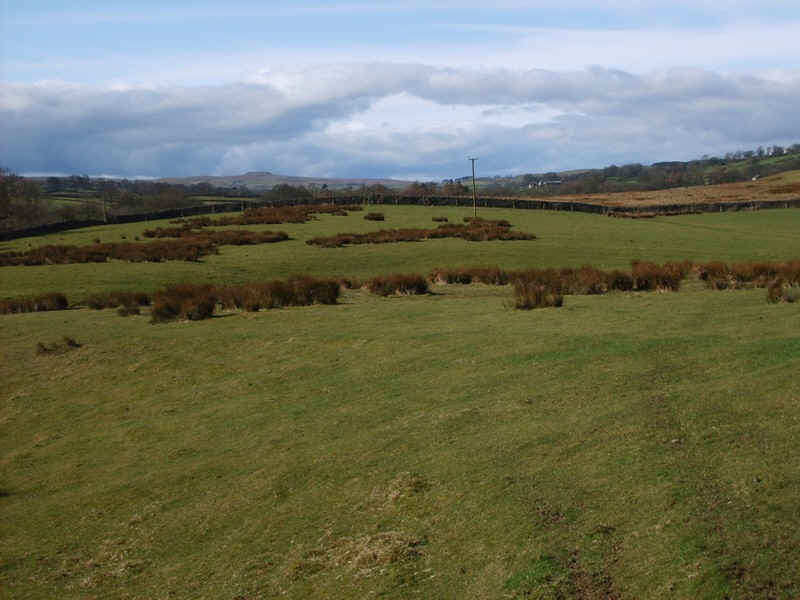
The TW crosses a field to reach a large plantation..
......and then falls down towards the river..
......through more open land...
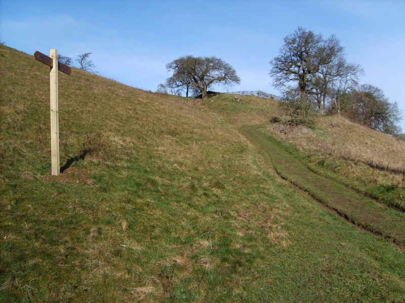
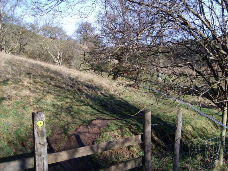
...and past a new signpost to climb...
......above the river again.
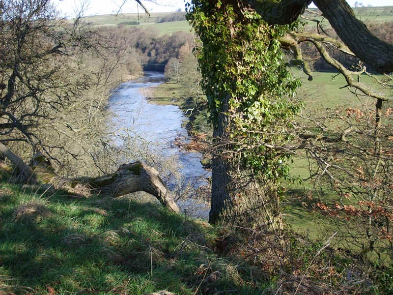
There's a particularly attractive view of the Tees here.
Then it's on towards Cooper House where the footpath has been diverted around the property's boundary...
.....and another gentle drop down towards.....
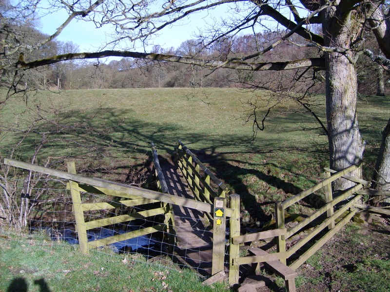
....the river bank and this bridge.
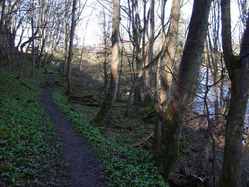
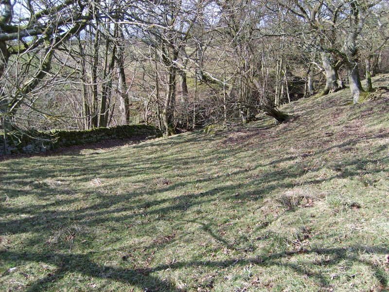
There's a lovely section through woods, where I disturbed two young deer, and some particularly luxuriant new undergrowth.
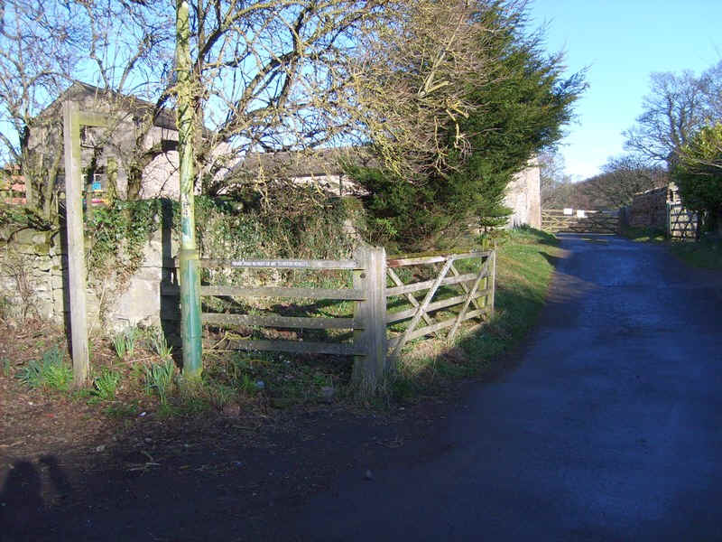
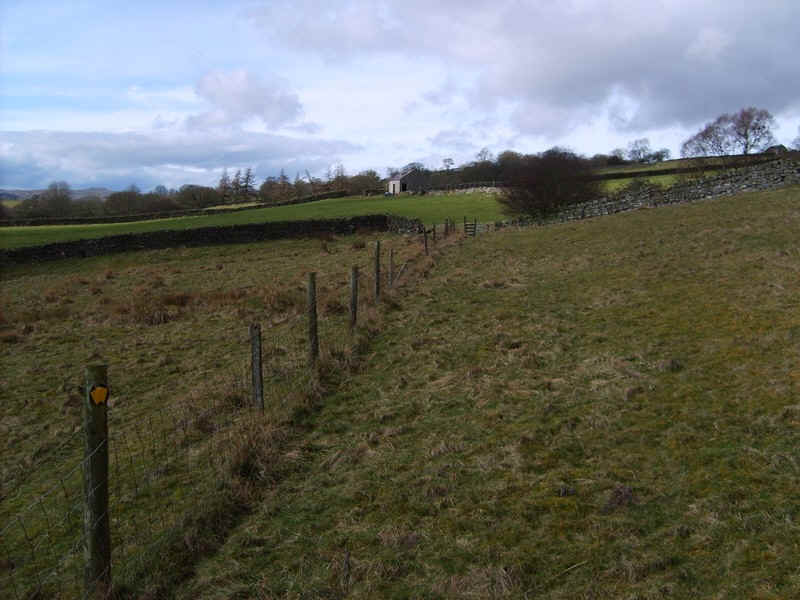
The path joins a farm track near Mill Hill Farm...
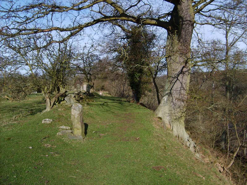
...and then continues on grass past boundary stones...
...to a lane that leads down to a farm by the river. The TW continues straight ahead.
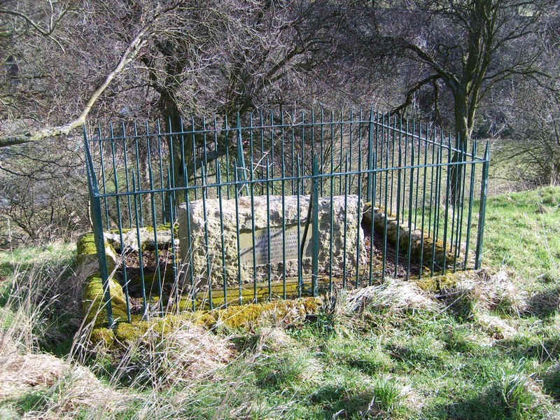
By the path is the grave of a certain Abraham Hilton, of Barnard Castle, and the founder of several local charities who asked to be buried here in 1902!
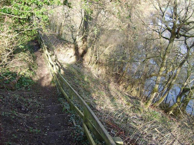
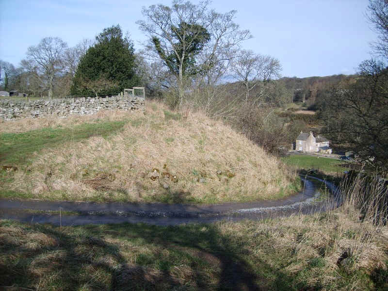
The Teesdale Way now runs high above the river before dropping down...
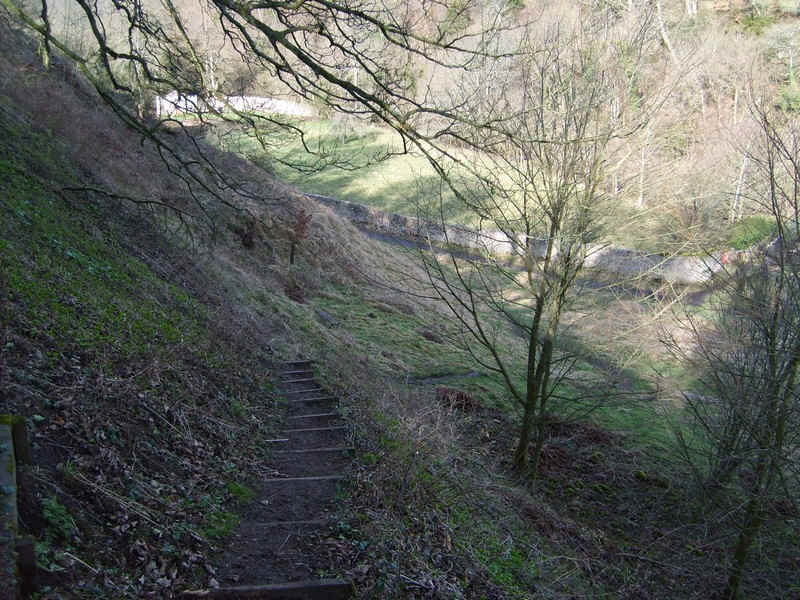
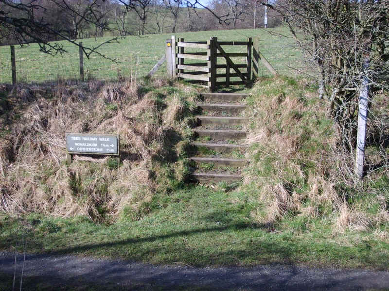
...steps at Cotherstone....
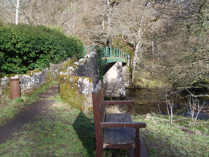
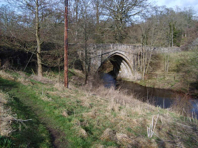
....to cross the River Balder at this footbridge at the confluence of the Balder and the Tees. The Teesdale Way continues across the bridge towards Middleton-in-Teesdale but my route...
...turned westward along this lane with the bank leading up to Cotherstone Castle on the left.

A few hundred yards further this green lane led off to the right...
....towards the road bridge on the B6277
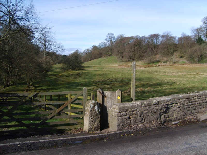
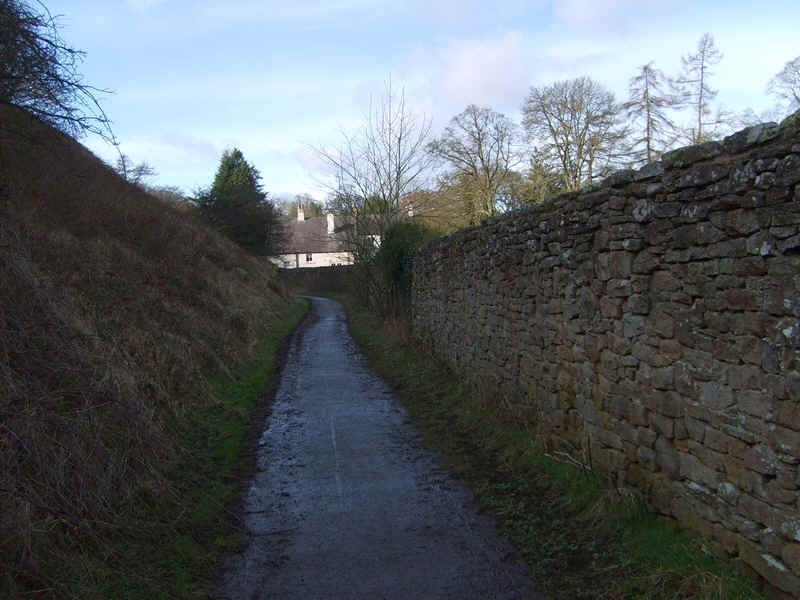
Once across the bridge, the path heads off up the bank..
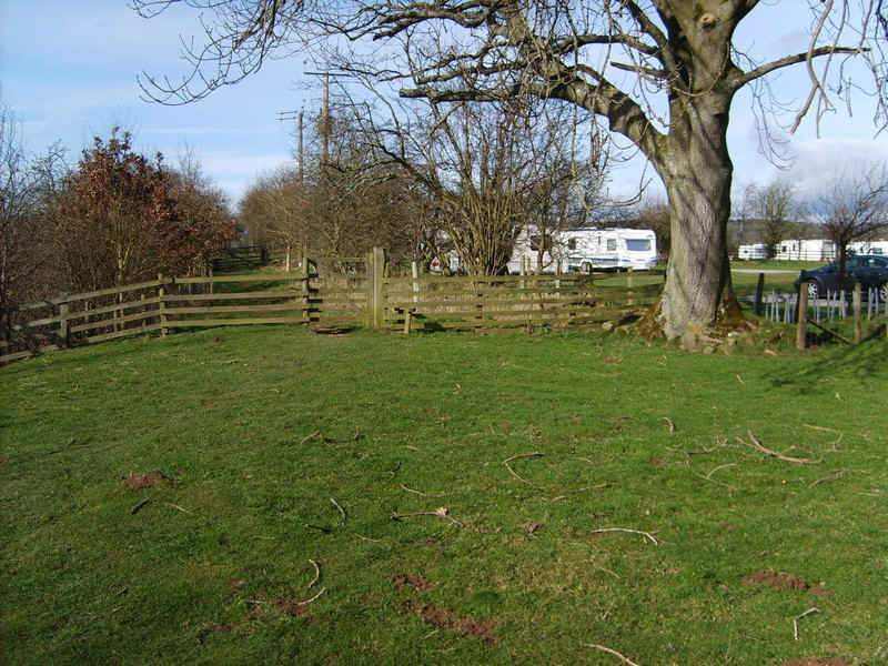
.....passing a caravan site..
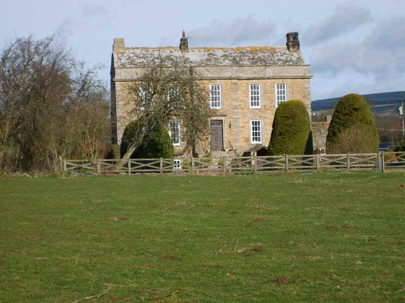
....and Doe Park. The house was built in the early 17th century, but its owner was a Roundhead and was hung, drawn and quartered in nearby Romaldkirk and so the house was never finished!
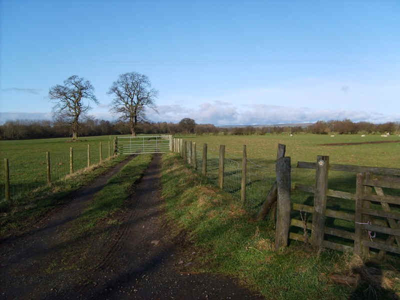
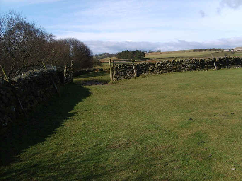
The path now crosses numerous fields as it heads towards...
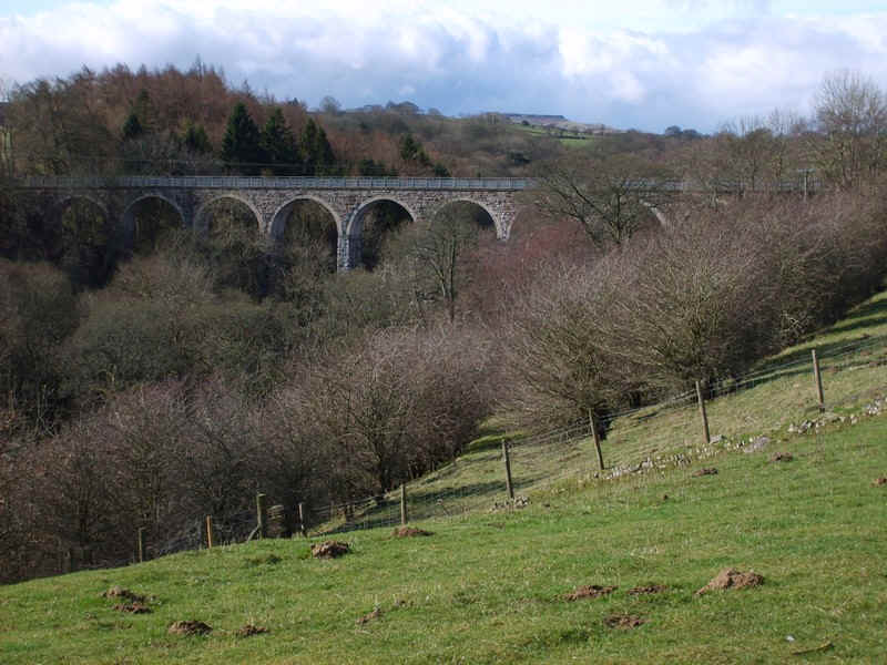
...the old railway viaduct on the Middleton-in-Teesdale line.
This is now a public footpath but my path heads west across...
... a field to join...
....a farm lane to ...
....West End Farm.
The path through the farm yard wasn't altogether clear but it's through a gate (looking back here)..
...and then turns left up the valley..
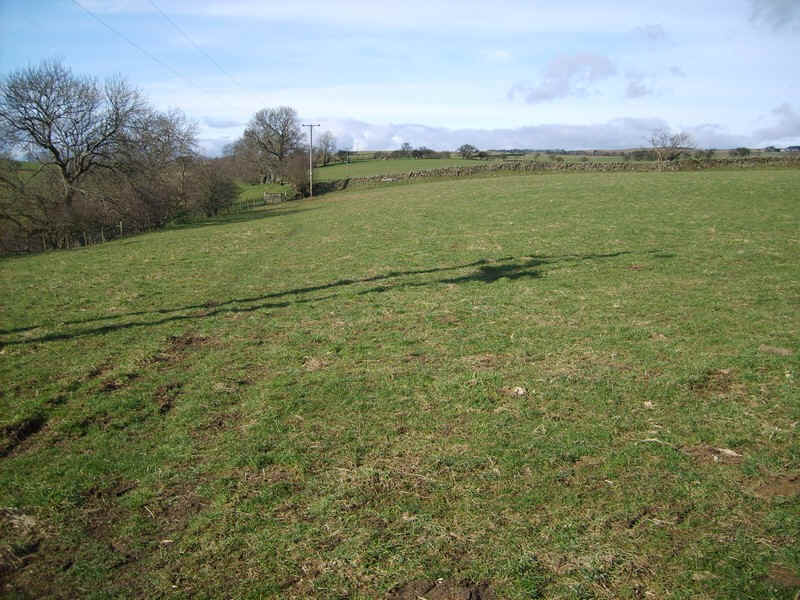
..across meadows with a view of the higher hills now visible.
The path is intermittently signposted but the target is that barn ahead at Yew Scar....
....although to get there you have to drop down to..
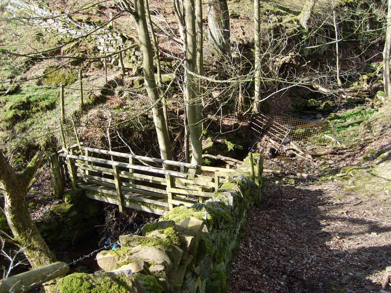
...a bridge over a stream....
Beyond the path reaches the farm at Lanquittes - a very French sounding name.
The path crosses a lane above the Hury reservoir dam,,,
...and continues uphill ....
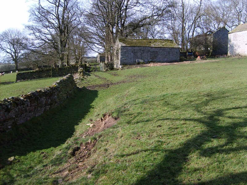
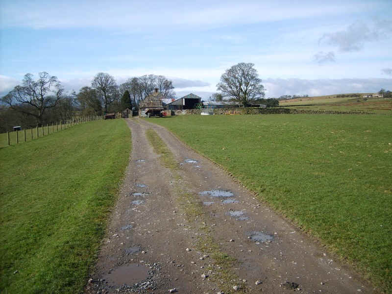
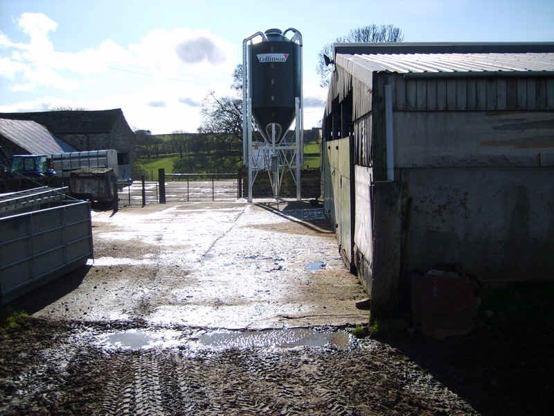
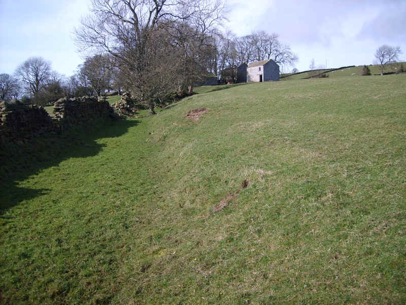
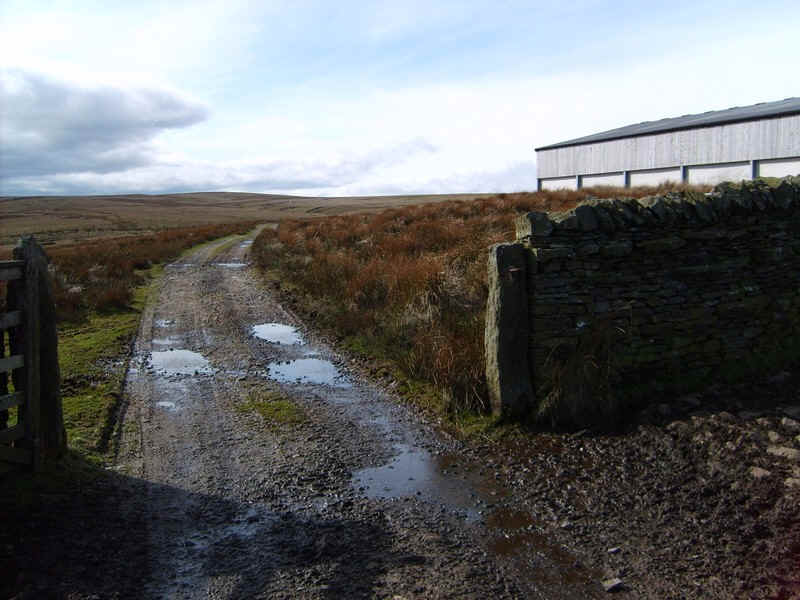
.....to a derelict hamlet. Beyond this the inhabited Hury Farm was reached, but the path disappeared in a tangle of fences and farm machinery so I ended up having to walk through the farm yard...
.....and up the farm access track to.....
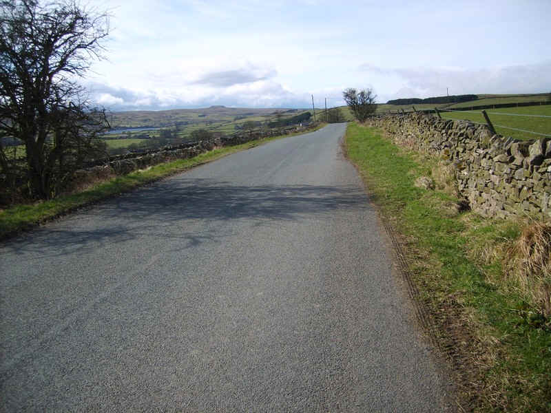
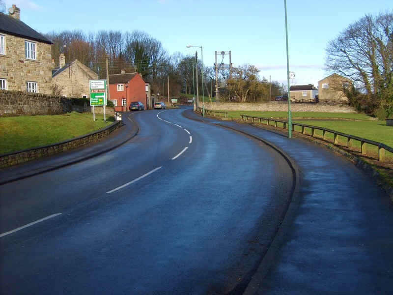
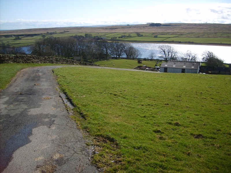
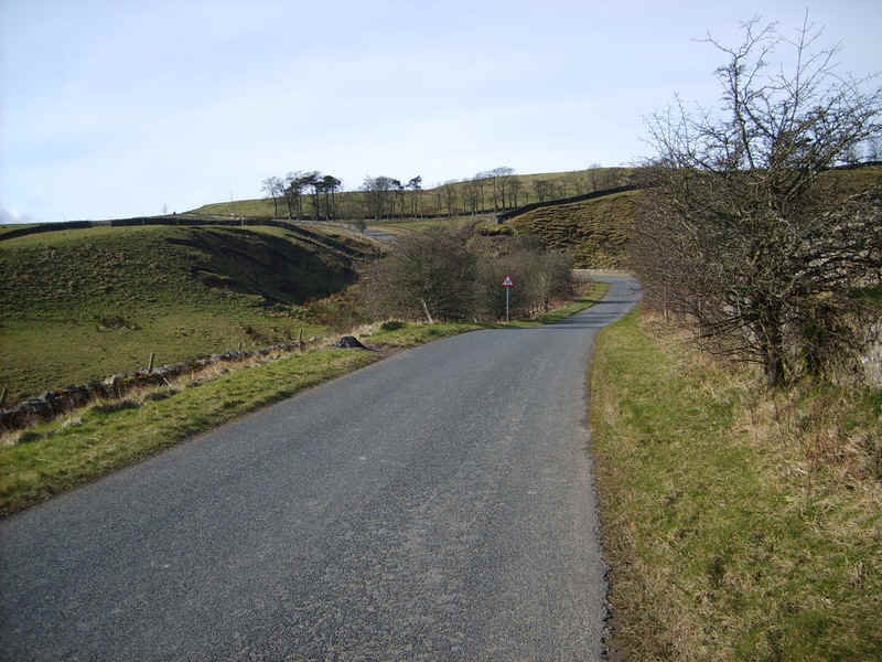
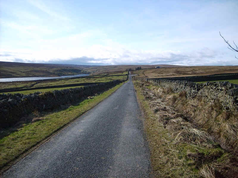
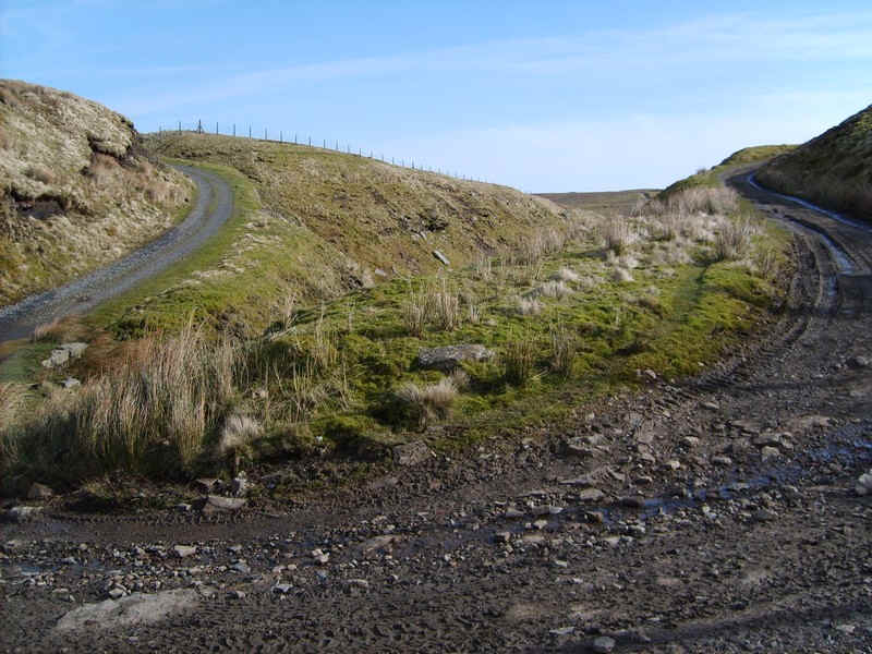
......the road up Baldersdale. I followed this road for the next 5 km. It is very quiet and less than ten cars passed me.
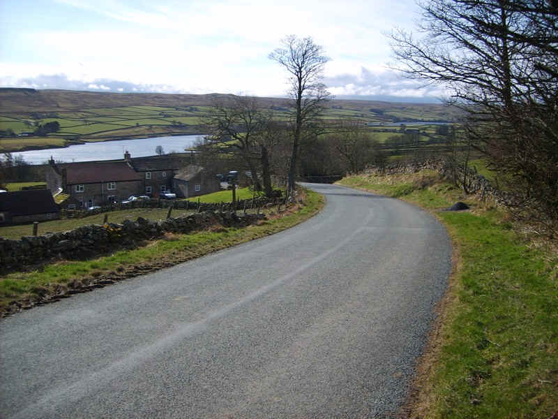
The road drops to the hamlet of Hury...
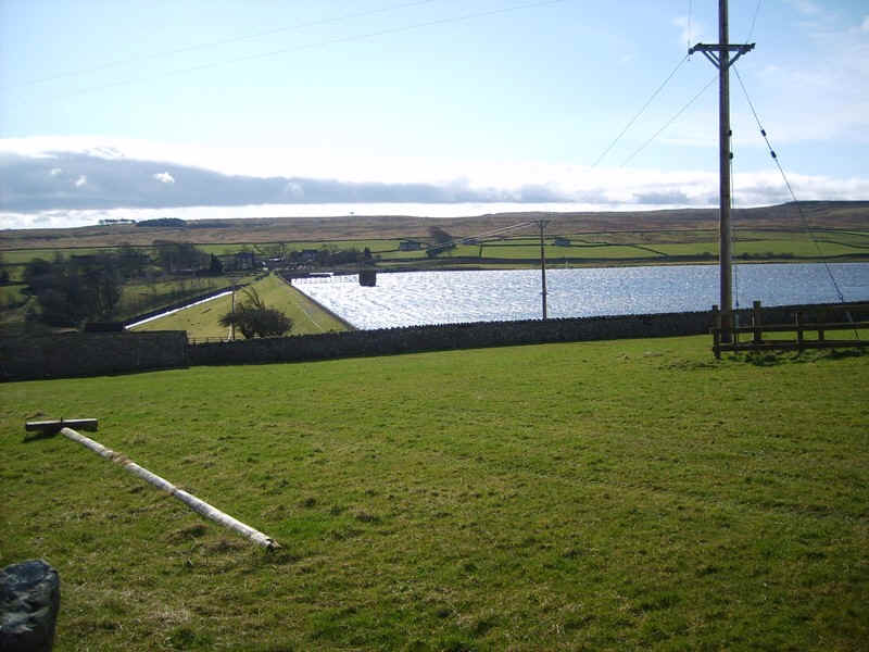
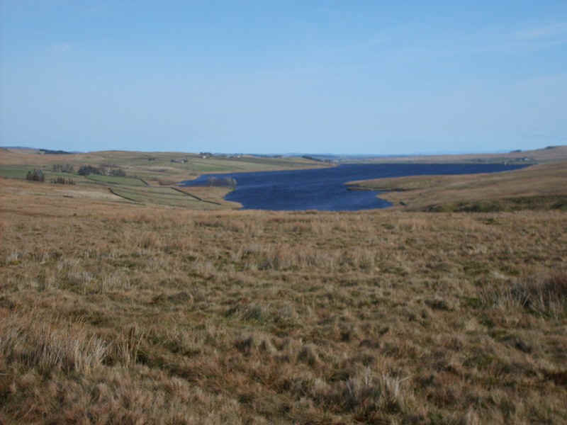
.....and then climbs again before falling towards the Blackton reservoir, the second one in the valley.
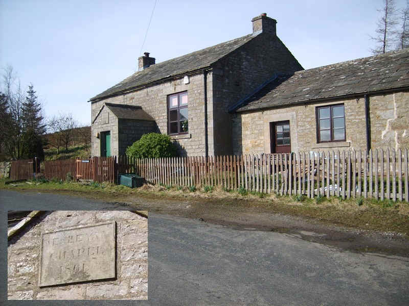
There's an old Wesleyan chapel, built in 1861, on this section.
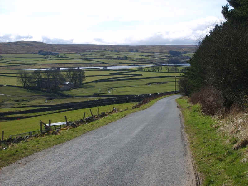
The road now drops to Hillgill Bridge before climbing...
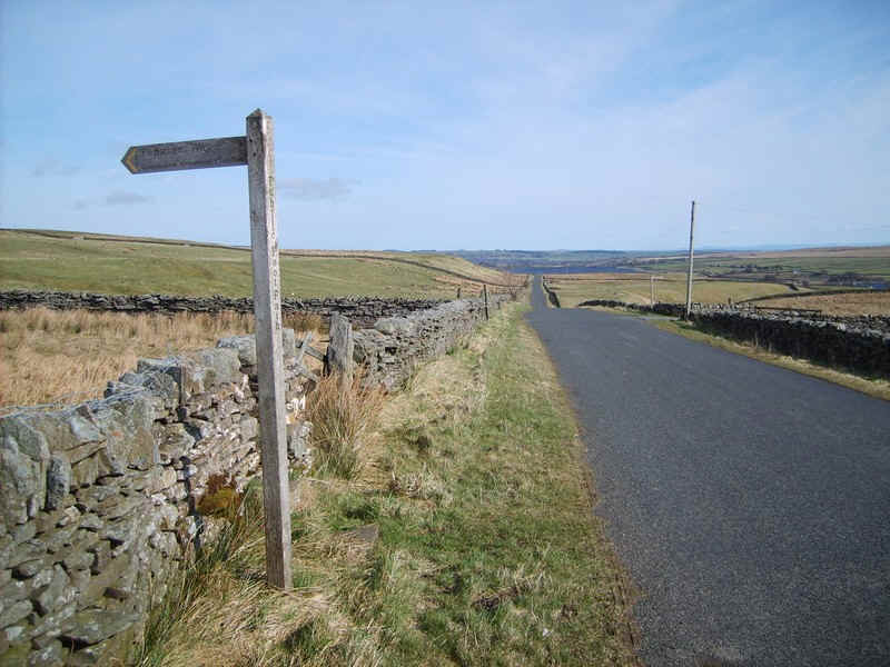
.....up to the Pennine Way signposts at East Hunder.
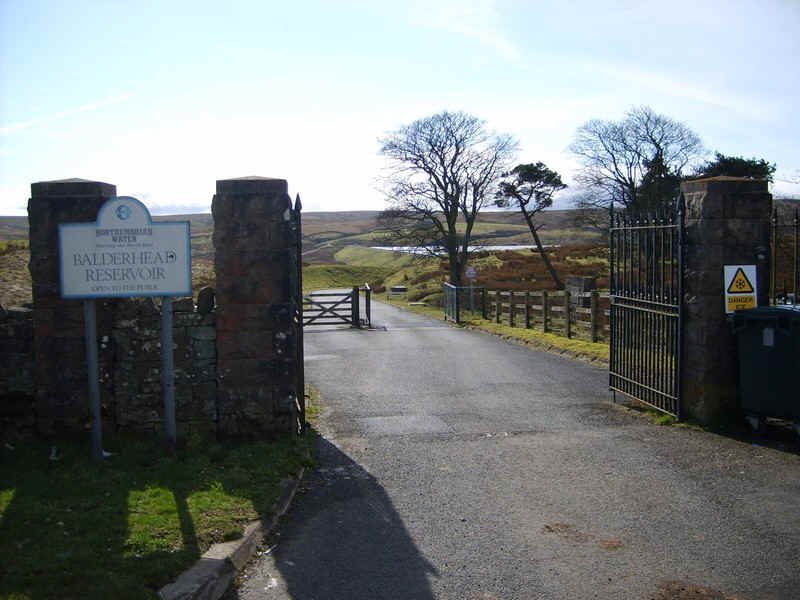
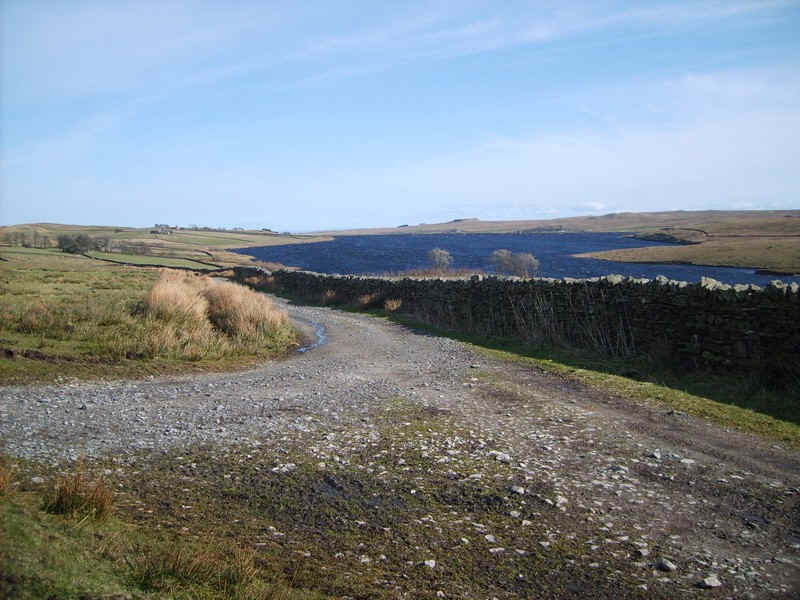
The final reservoir is Balderhead.....
......which can be seen as the road heads towards its end...
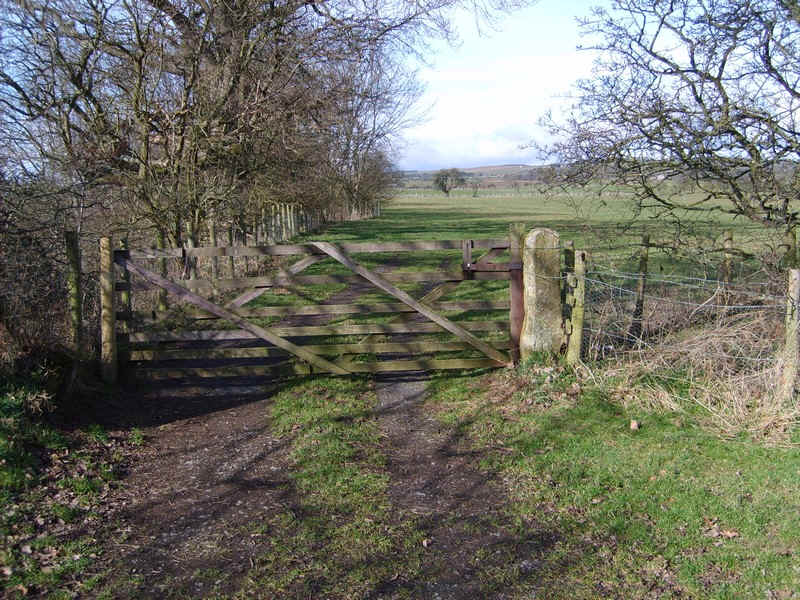
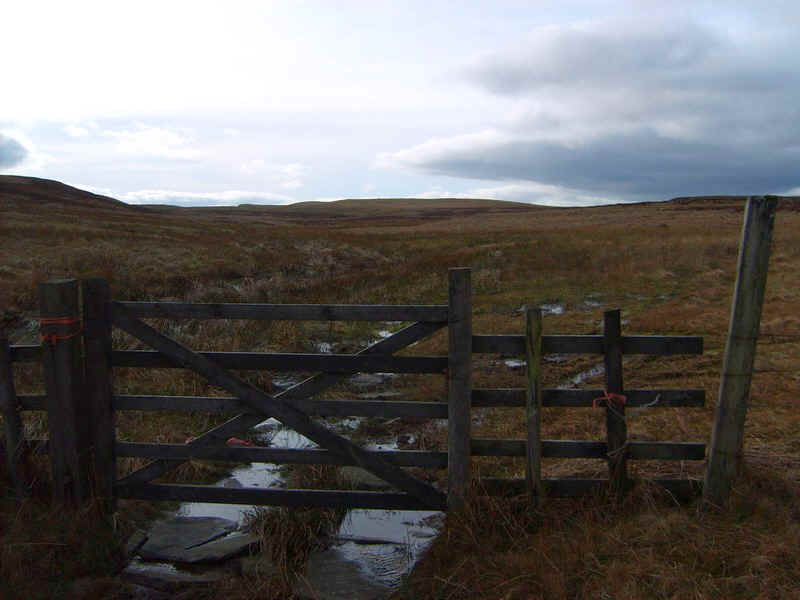
....near this gate.
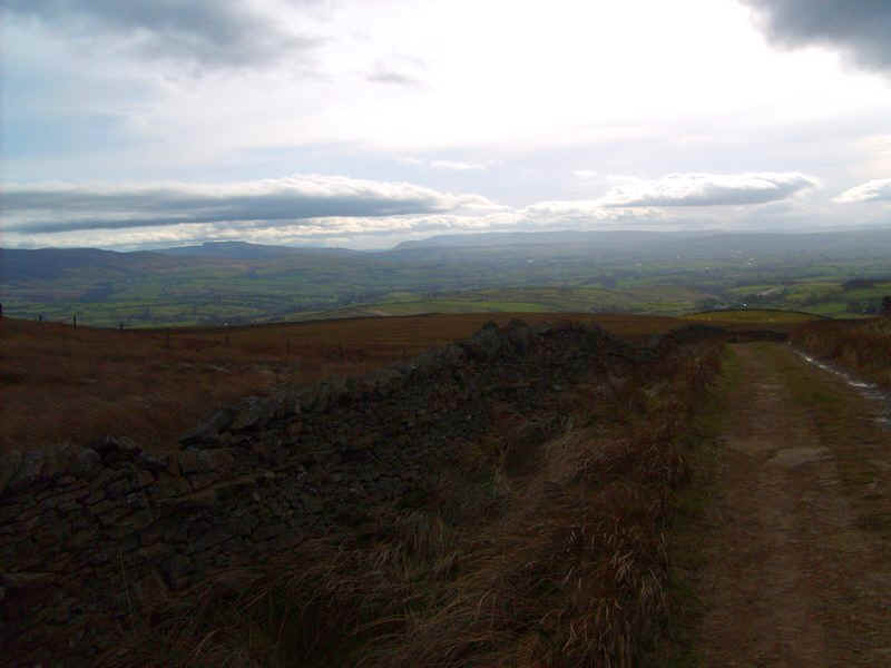
Looking back down the Balder valley. The air was so clear that the Cleveland Hills could be seen 40 miles away.
Up to this point the walk had taken five hours for the 16 km from Barnard Castle compared to the four hours I'd expected, largely due to the difficulty of walking straight into the westerly head wind. Now I know why most people walk the Coast to Coast Walk in an easterly direction....
Whilst I had my lunch break, I checked my route plan to make sure I had enough time to complete the walk in daylight after adding on another hour for the next section. Reassurred I set off...
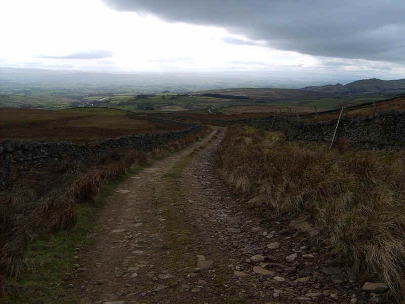
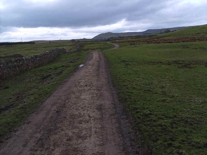
.....along the track that leads to the upper part of Baldersdale.
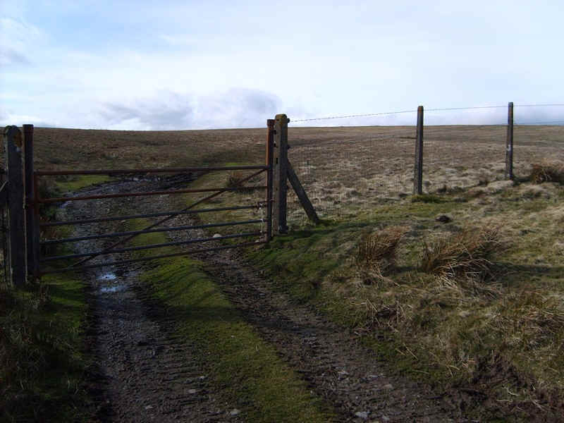
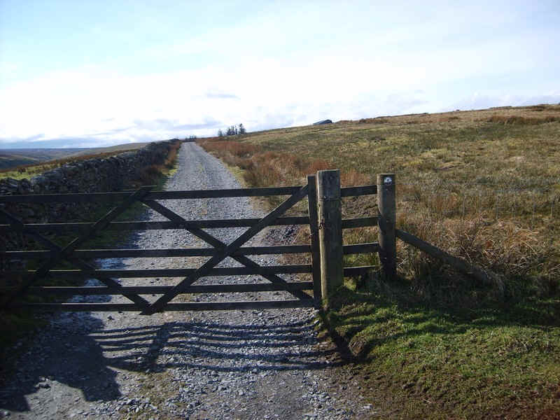
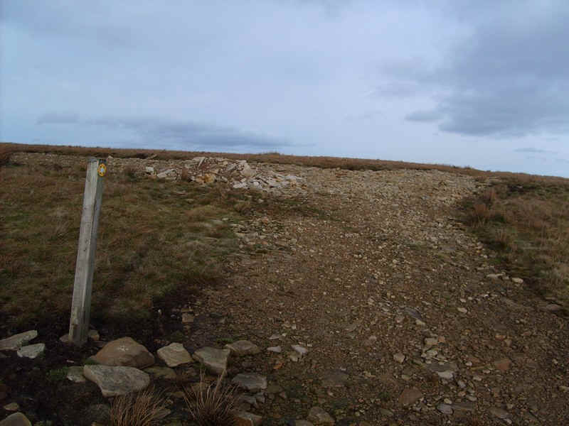
After a short distance this gate marked the start of the section across Stainmore Common. It's about 10 km between the end of one paved road and the start of the next. In retrospect I should have entered a series of GPS coordinates for this section as, if it had been misty, this would have been a really difficult section across.
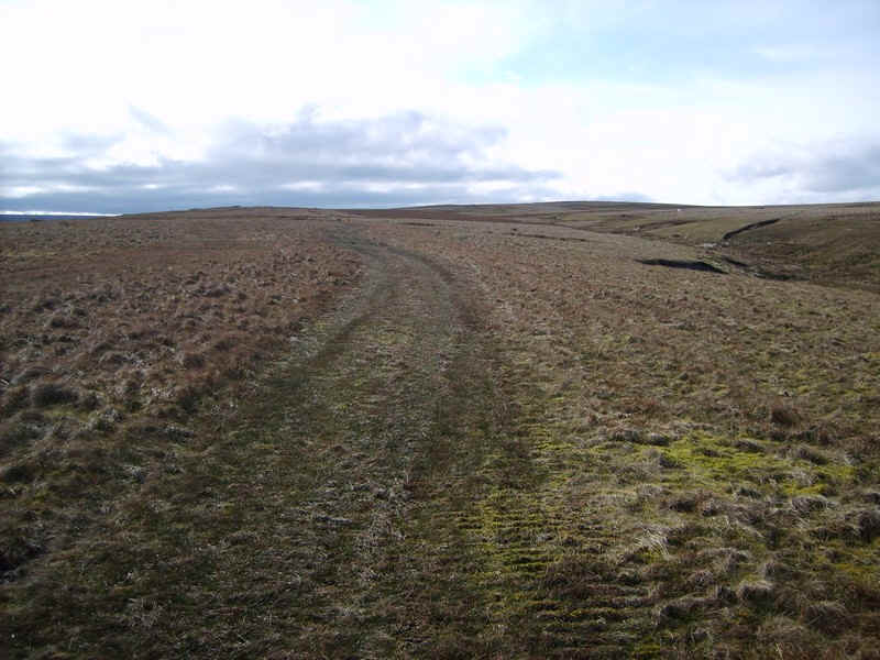
For the first few kilometres there's a fairly clear path made by shepherds' quad bikes.
Looking back to Balderhead on this beautiful but cold and windy day.

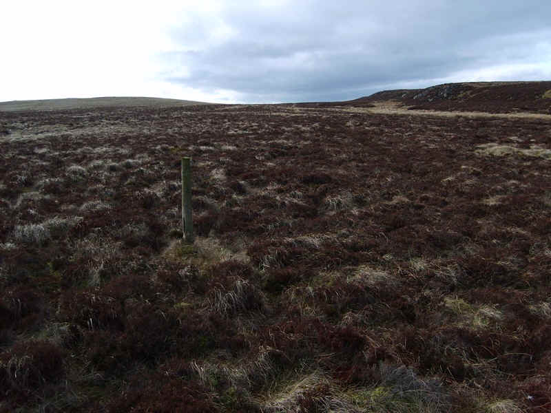
There are a few landmarks which would be worth heading for in poor visibility. The first is this windbreak near a sheep fold at Combs Round.
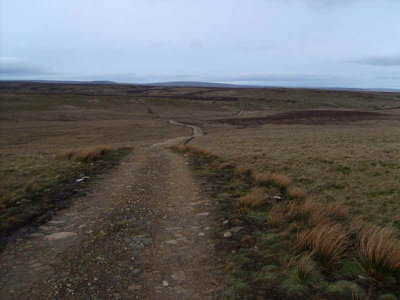
The track now becomes clearer for a section...
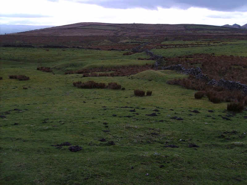
.....before reaching the next point of 'interest' .This is an isolated section of wall marked on the maps and here it is...
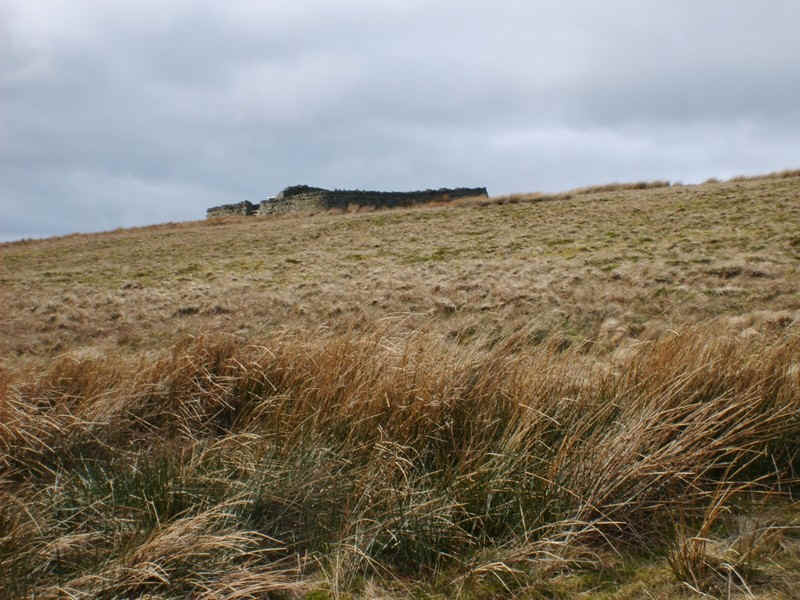
.....whilst just beyond up the hill is another sheep fold on Black Hill.
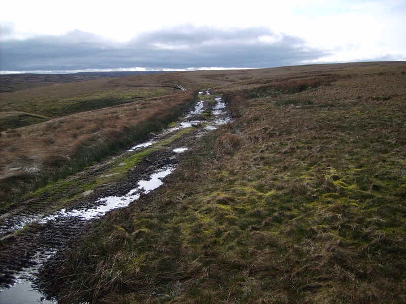
The track now drops down to the River Balder...
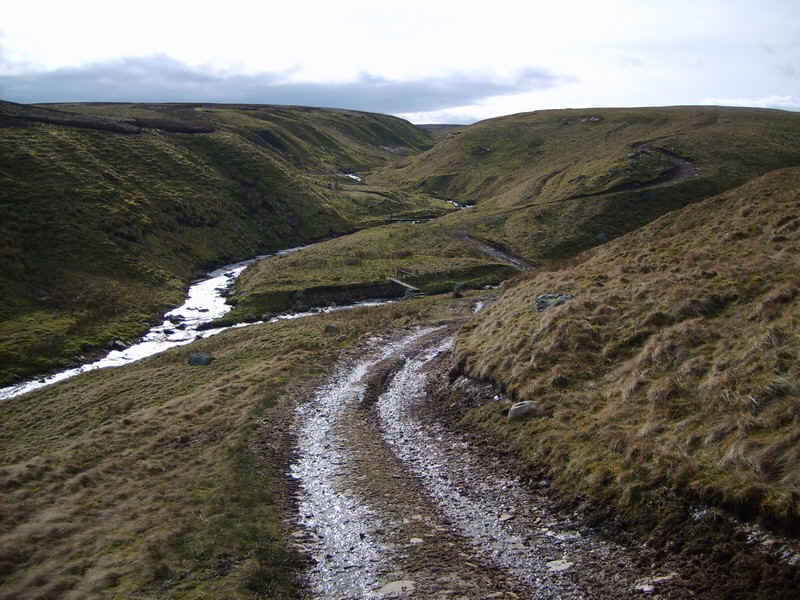
....where there are two footbridges. The way to Brough crosses the first bridge and heads straight up the spur on a clear track.
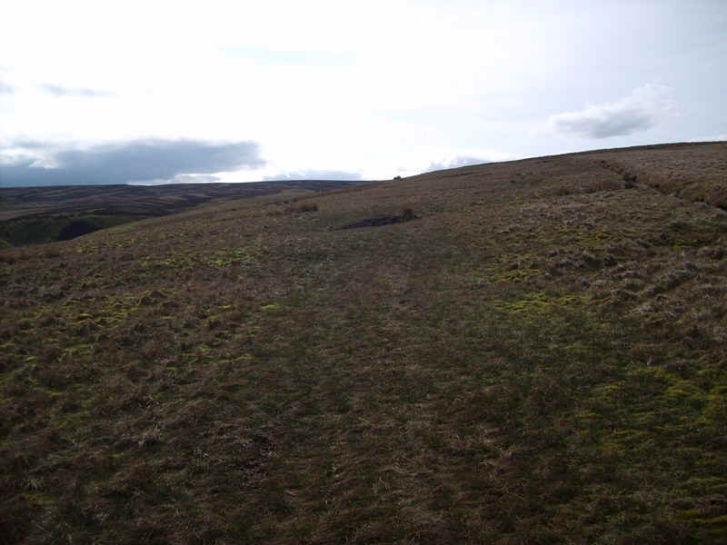
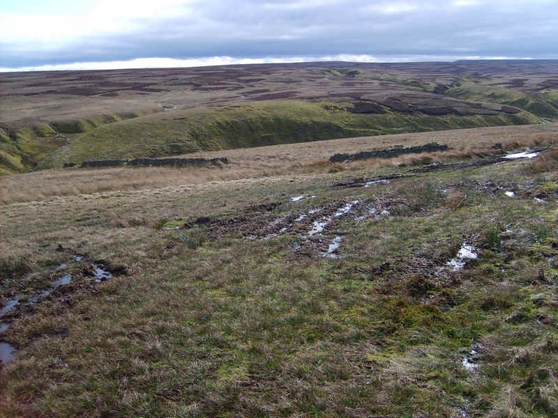
As the track climbs up Mile Rigg it becomes fainter...
....and then drops down to Mile Rigg Moss and the Balder Beck.
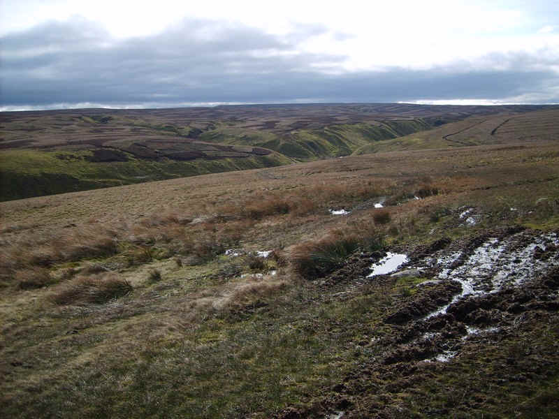
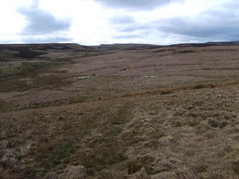
Ahead is Round Hill but the path virtually disappears.
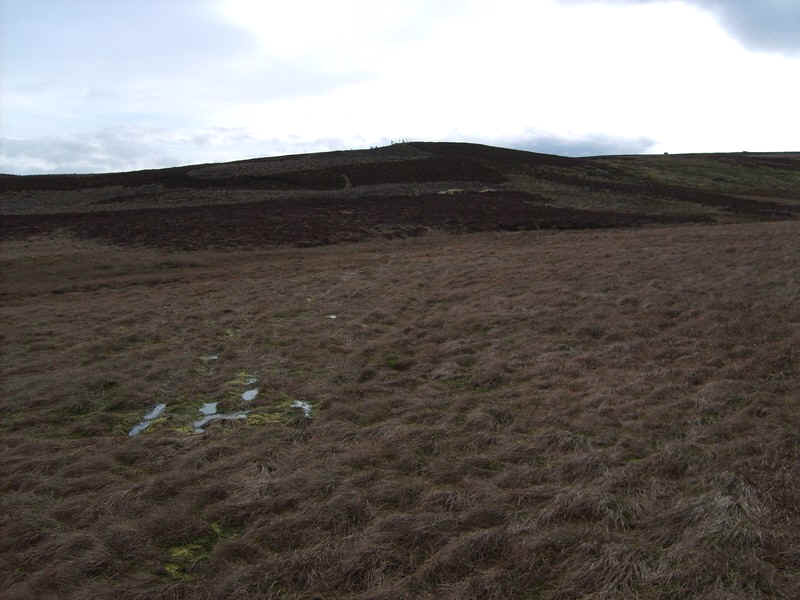
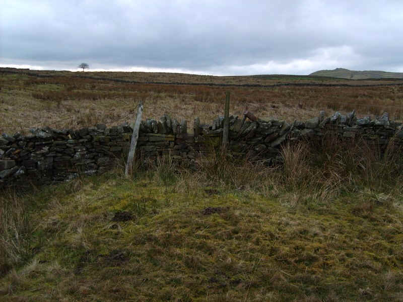
I headed towards the fence and this firmly secured gate. Climb it carefully as this is not the place to have an accident!!
Beyond the gate there is no sign of a path but I noticed some poles at regular intervals and decided to follow these. In actual fact they lead me slightly of course to the north. The appear to be the line of old grouse butts. I should probably have stayed closer to the Balder Beck but the ground here is very wet.
Eventually I noticed a new estate track, that is not marked on the 1:25000 maps, and is an extension of the track marked as finishing at Wham Mouth (NY 848 163) To see this new track go to the map at the top of this page, find the '41-Track ' symbol by enlarging the map and then clicking on the place marks. When you've enlarged the map around this button, click on the satellite button and the new track can be seen heading across the moorland.
Shortly after joining this track a footpath sign marked the end of the path I should have come on.
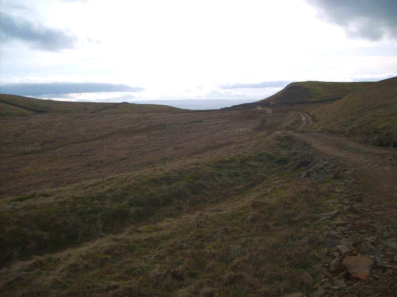
The estate track continues towards Wham Mouth, which is on the watershed between the North Sea and the Irish Sea. Just as I reached this point I could see the smoke of a steam locomotive hauling a train south over the Settle and Carlisle railway line. Now what are the mathematical chances of that coincidence I wonder!
The way forward into the Eden valley means a steady drop from 465 m down hill...
...with good views across towards the Lake District.

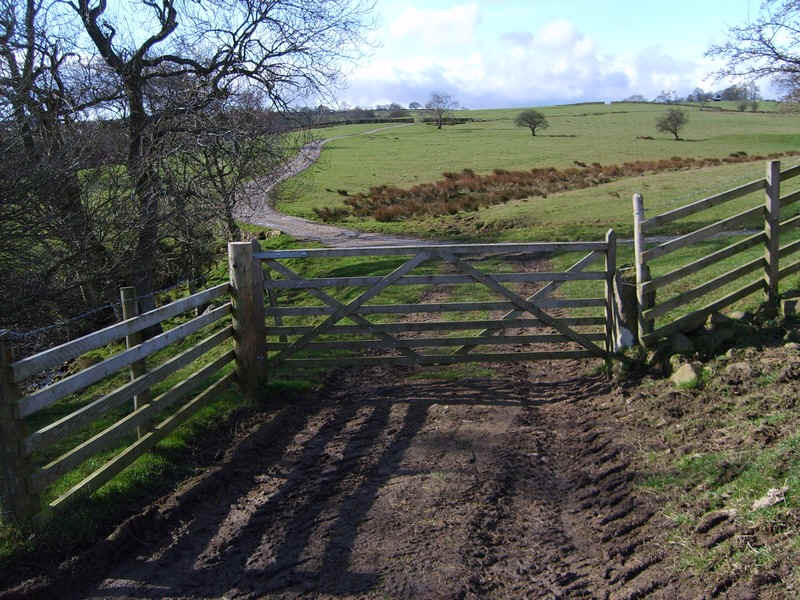
Near Spurrigg End a paved road is joined...
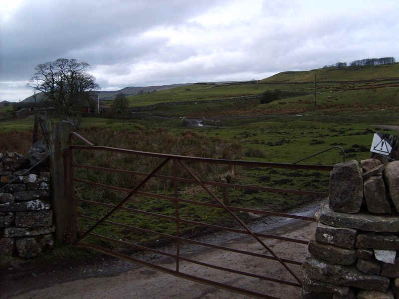
....before turning left and going through a gate on a minor road near Borrowdale House
....and onwards towards...
...the houses at Augill Head. Here a footpath sign indicates Brough Intake.
I had been hoping for an easy end to the walk but with the fading light it was difficult ....
...to spot the stiles in the stone walls and in one place stones had been placed that effectively concealed the stile. Despite very careful map-reading I couldn't find one of the stiles and, as the light was fading, I decided to simply make my way through various gates until I reached....
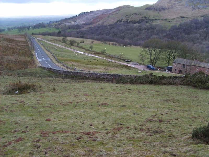
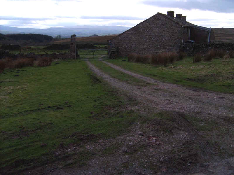
......this point just above Hazel Bank Farm. Luckily, there was an unlocked gate giving access to the B6276 from Middleton to Brough. It meant another kilometre's walk along the road but, once again, only a handful of cars passed by.
Studying the satellite images on the map at the top of this page shows the correct path, just beyond my position at '49-track', but it was not visible on the ground.
On the way into Brough the signpost for the path from Augill Head was passed.
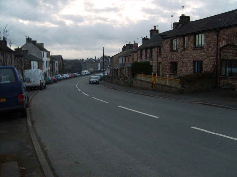
I arrived in Brough about nine and a half hours after leaving Barnard Castle, about two hours later than I expected, due mainly to the wind but also loosing time trying to the path on Stainmore Common and coming down to Brough. Welcome to Cumbria!
Despite these problems it had been a great walk.