Day 8 - Kirkby Stephen Station to Sedbergh (15 miles 24km)
Day 8 of my East Coast to West Coast didn't take place until October 2012 when I took the train to Kirkby Stephen. The walk to Sedbergh is about 31 kilometres, or nearly 20 miles, and doing this walk in the last few days before the clocks went back was perhaps not the best choice, with some pressure to end the walk before darkness fell. I'd expected the walk to take about six hours and, despite some route finding problems and some very difficult underfoot conditions in places, I actually only took about 20 minutes longer.
Unfortunately, my SPOT GPS transmitter's batteries ran out shortly after the start of this section so the map below uses Google's blue place markers to show the route.
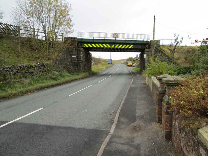
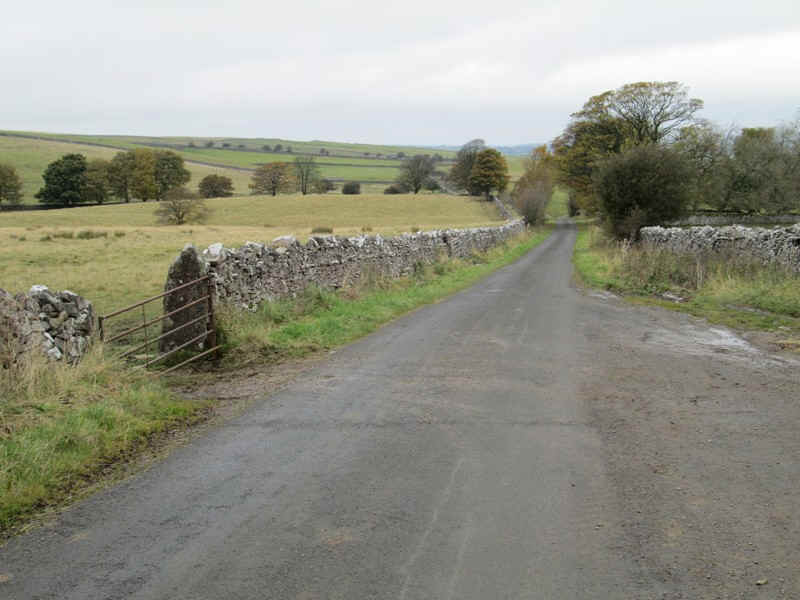
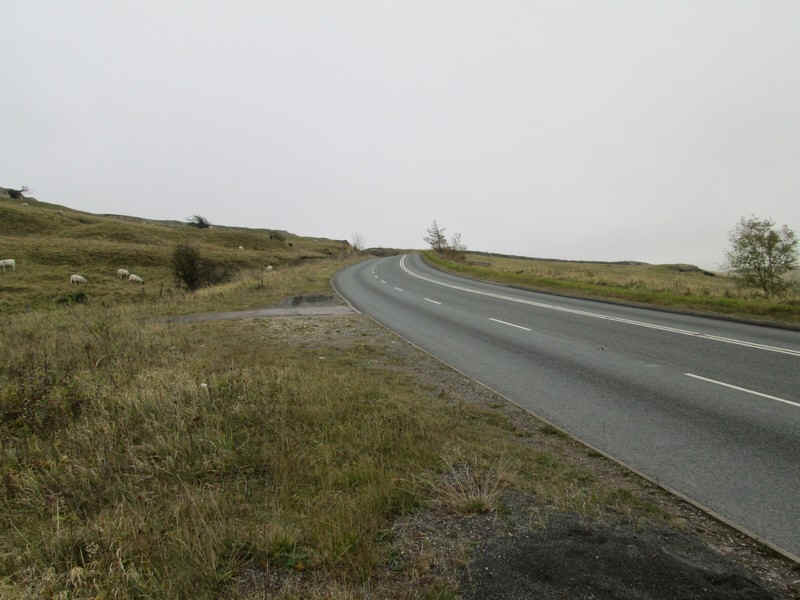
Leaving the station at 11:25 the walk to Sedbergh starts up the A685....
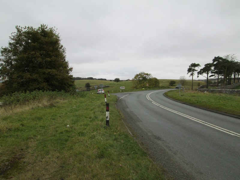
......past the junction of the A683 road to Sedbergh..
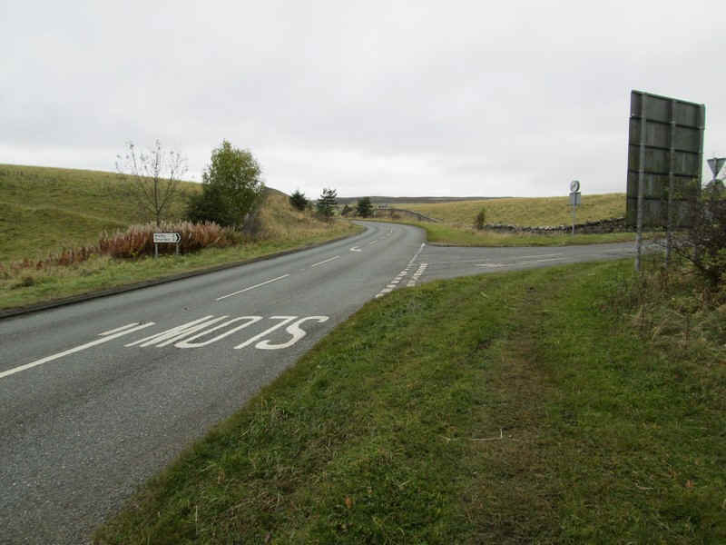
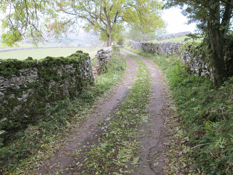
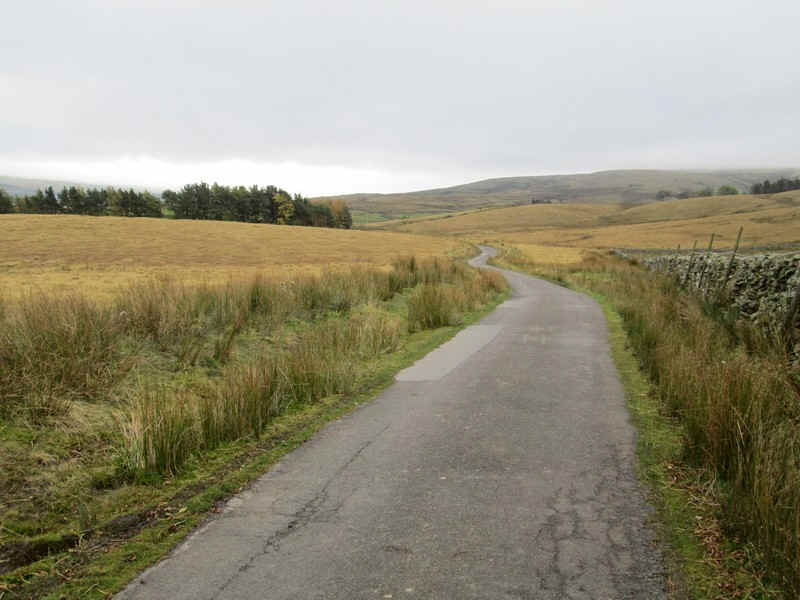
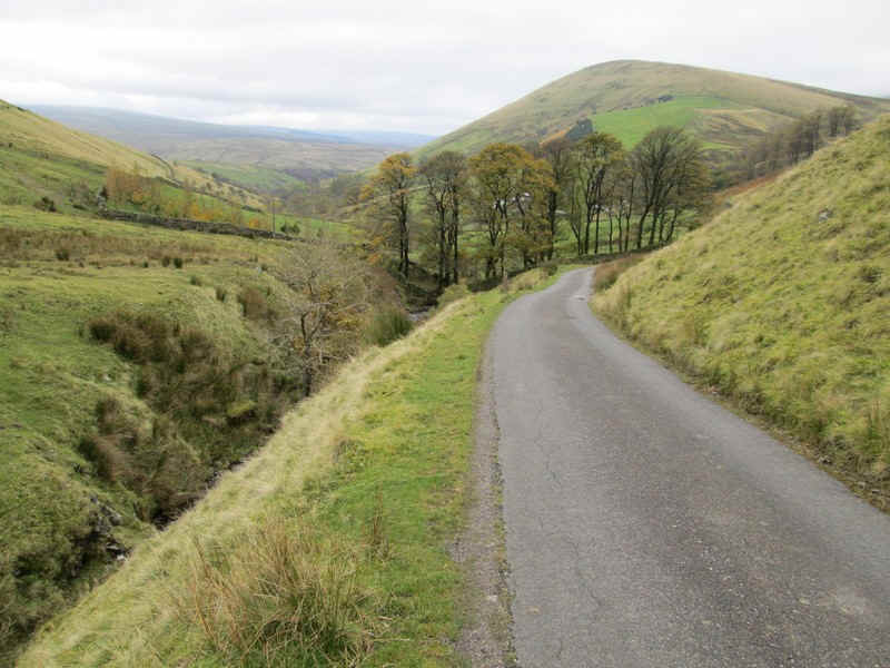
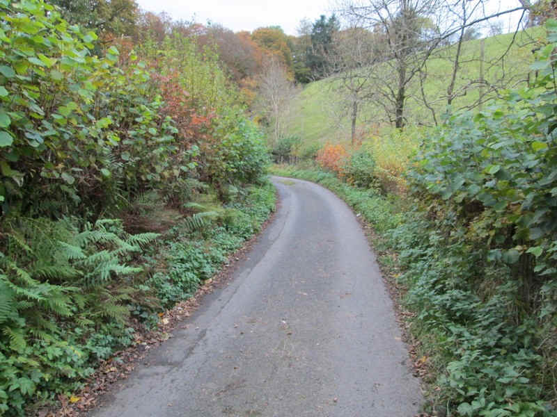
.....and then off to the north west along a lane. The verges on the main road are wide so there is no problem for walkers.
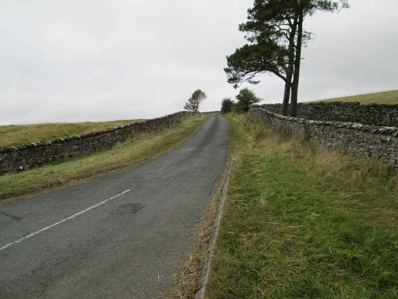
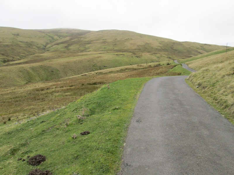
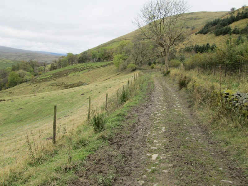
The lane towards Smardale climbs...
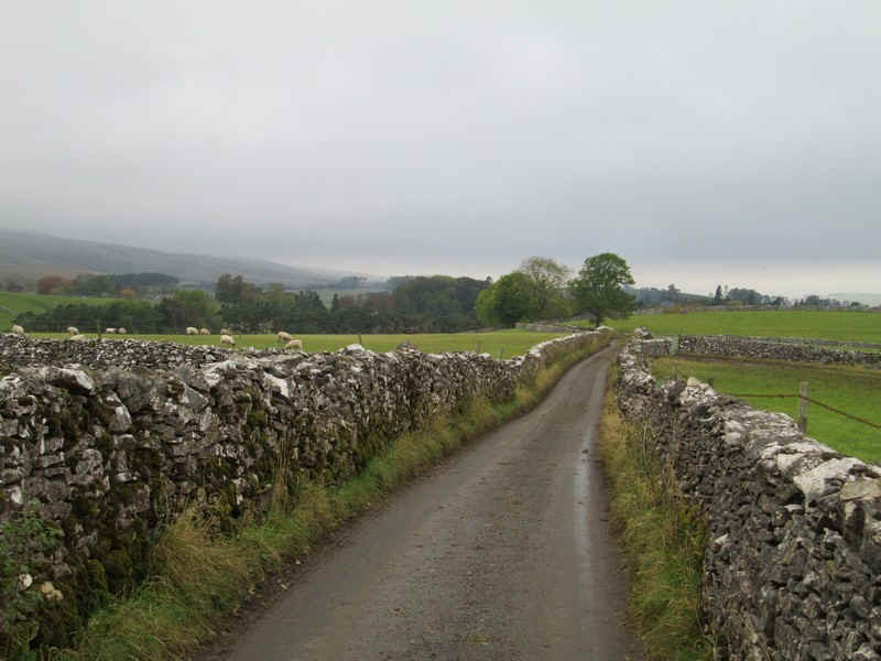
.....and undulates through typical limestone country....
.....past a junction ...
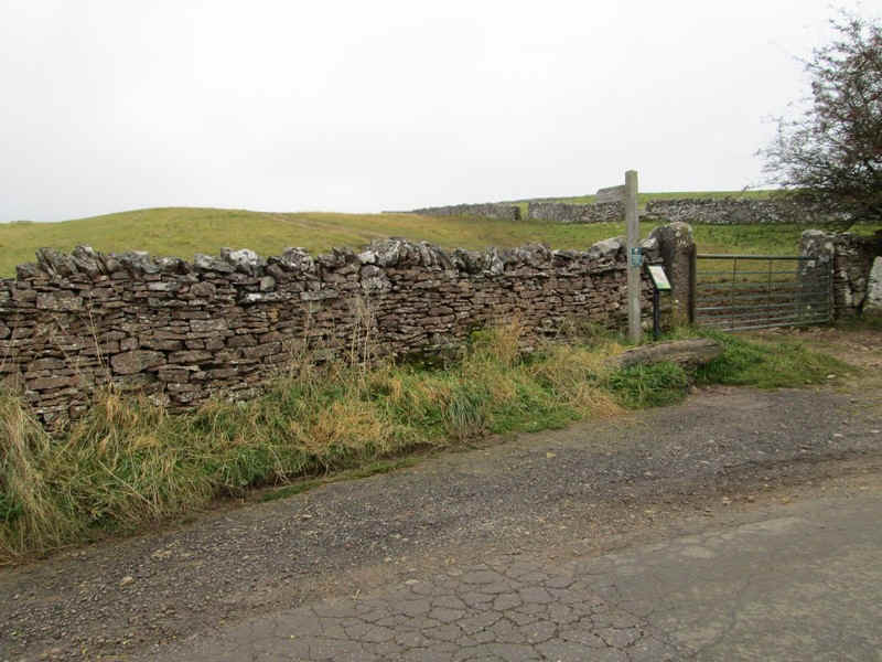
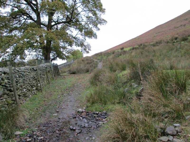
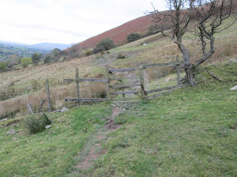
.....to reach a footpath sign near a sharp bend in the road. My route now followed the official Coast to Coast walk for the next mile or so...
....as it climbs up hill and then...
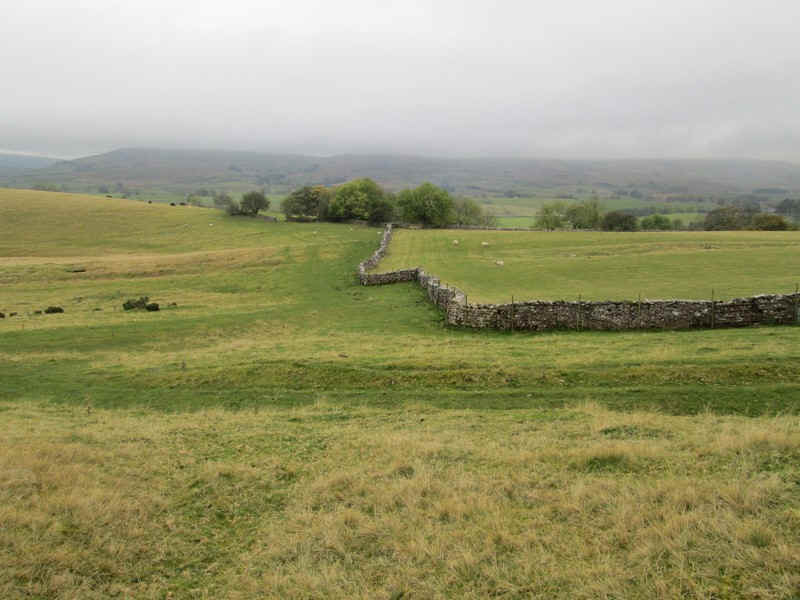
....loops around a series of stone walls...
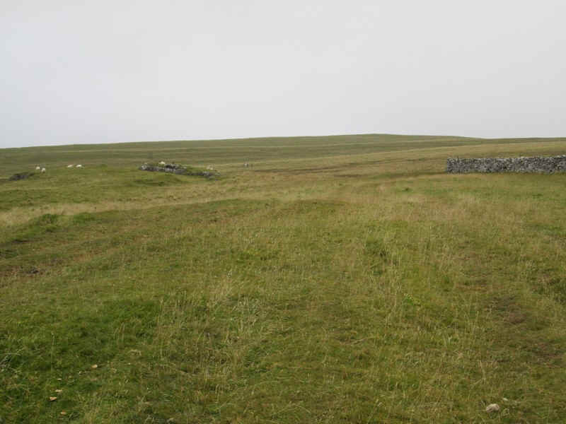
.....climbing onto Smardale Fell.
The Coast to Coast route is poorly way marked here but over to the west a small area of woodland needs to be aimed for.
The curious narrow fields are clearly visible both on the map and in reality....
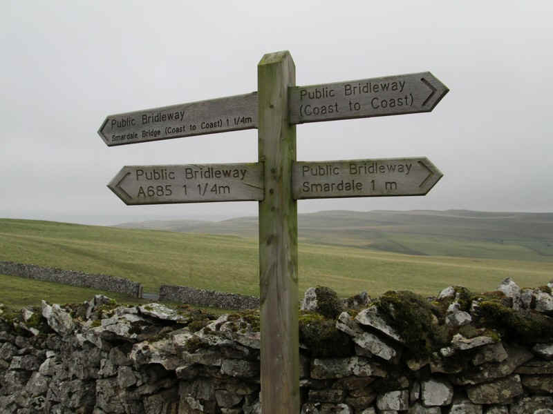
.....whilst a signpost marks the splitting of the C to C from my route over to the A685.
The C to C goes off to the right whilst my route heads towards the depression on the skyline.

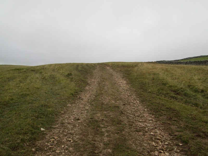
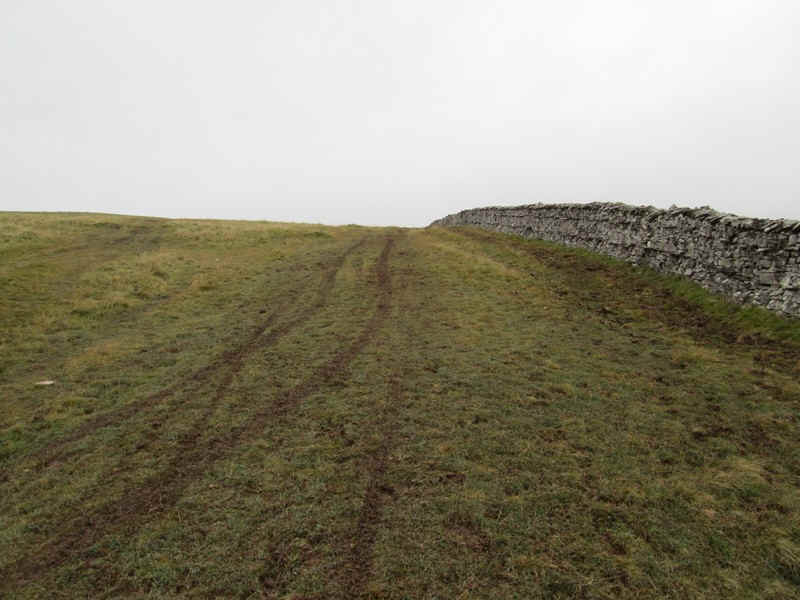
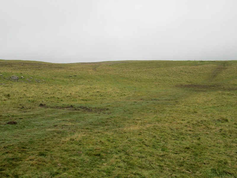
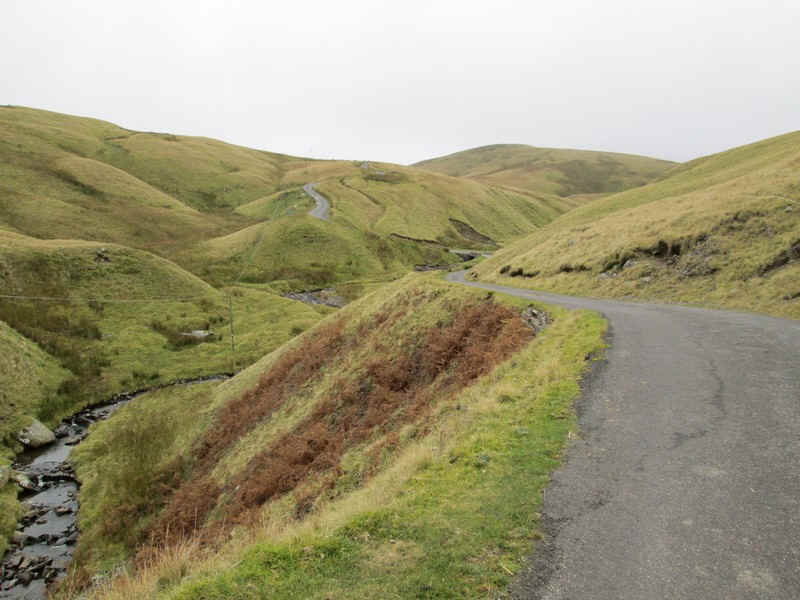
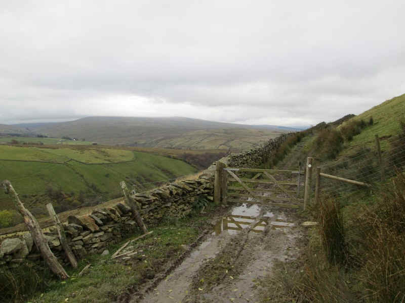
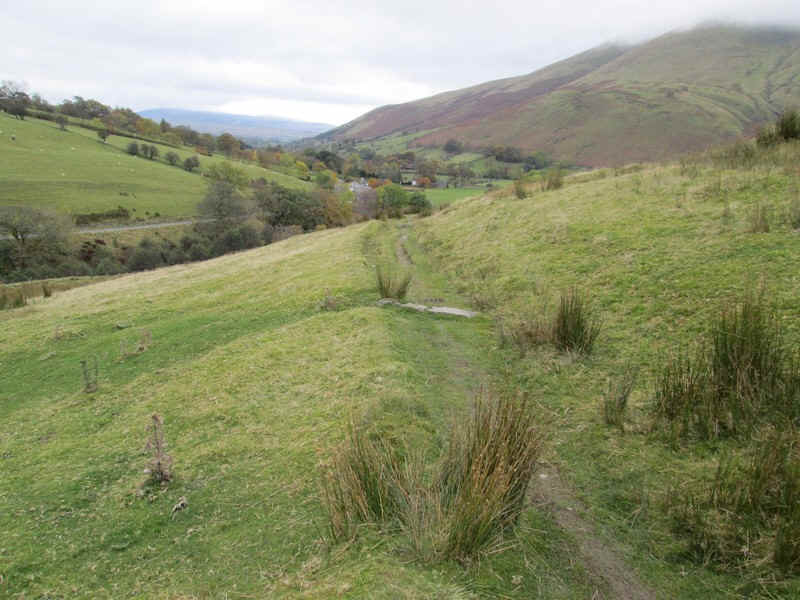
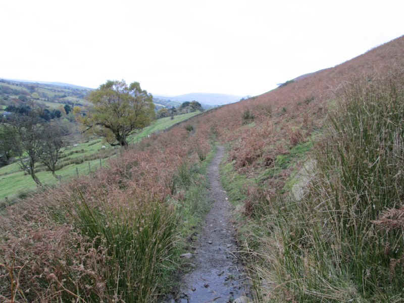
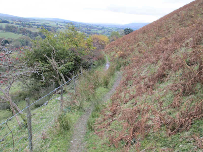
The next few kilometres are across moorland on a clear track...
....leading to a gate after which the path becomes narrower.
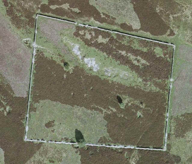
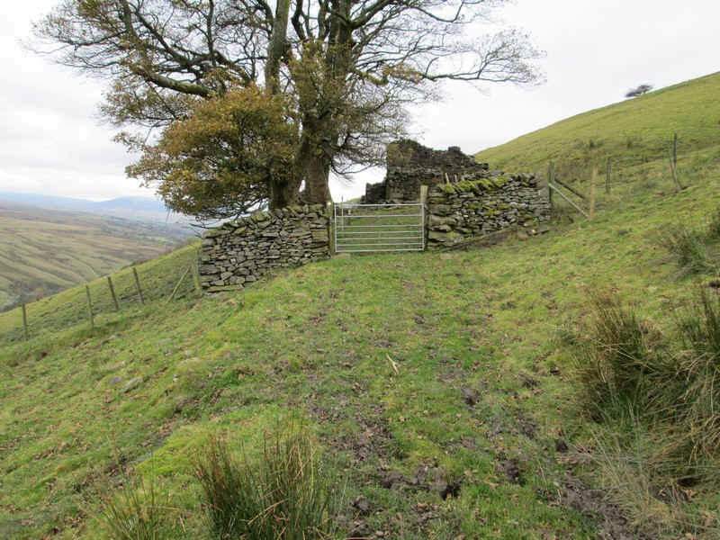
Over to the south is a stone wall enclosure which I suspect once had a farmstead in. The image below is the satellite view from Google maps
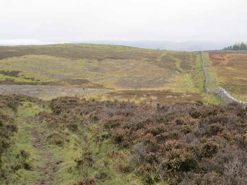
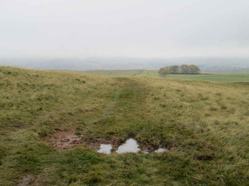
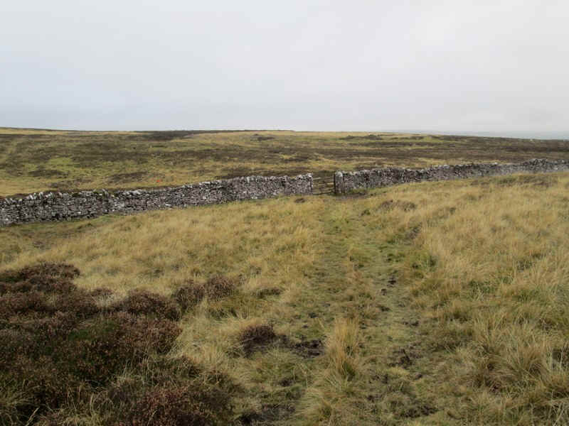
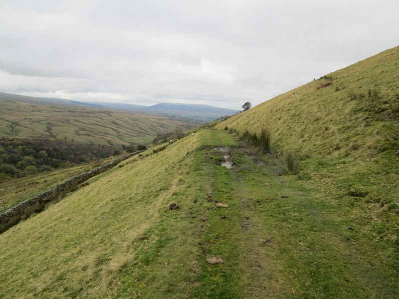
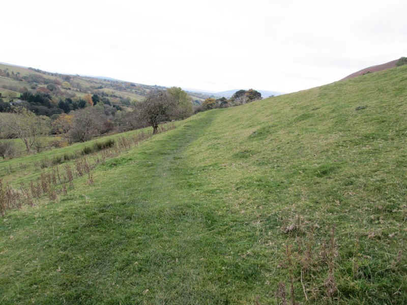
The path now begins to fall as...
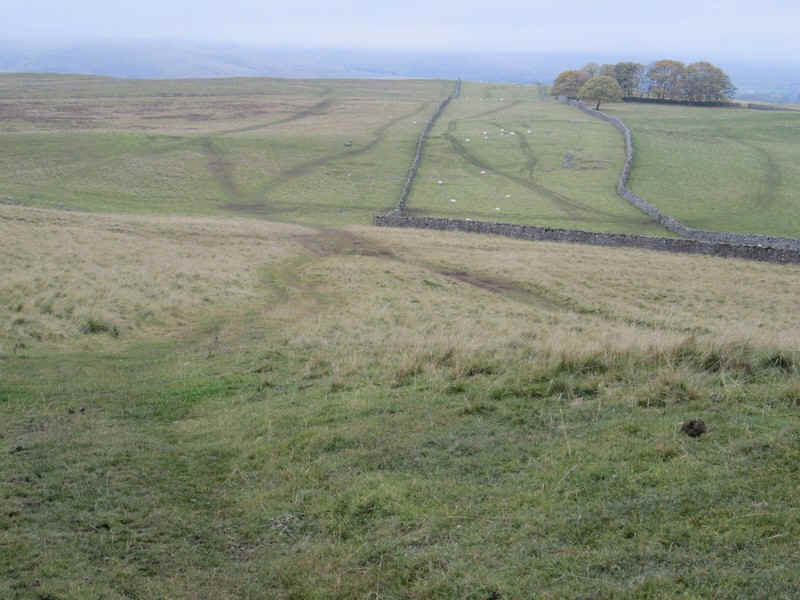
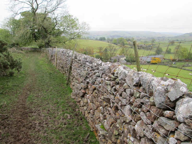
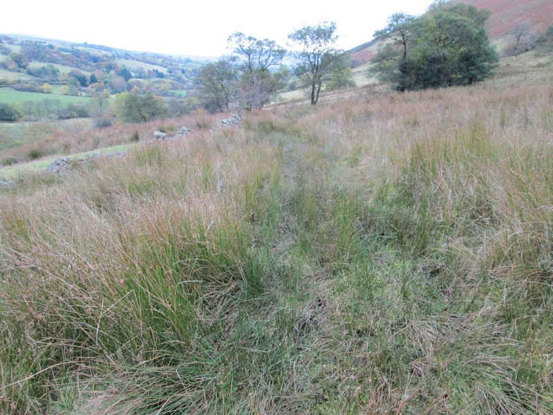
.....it follows walls...
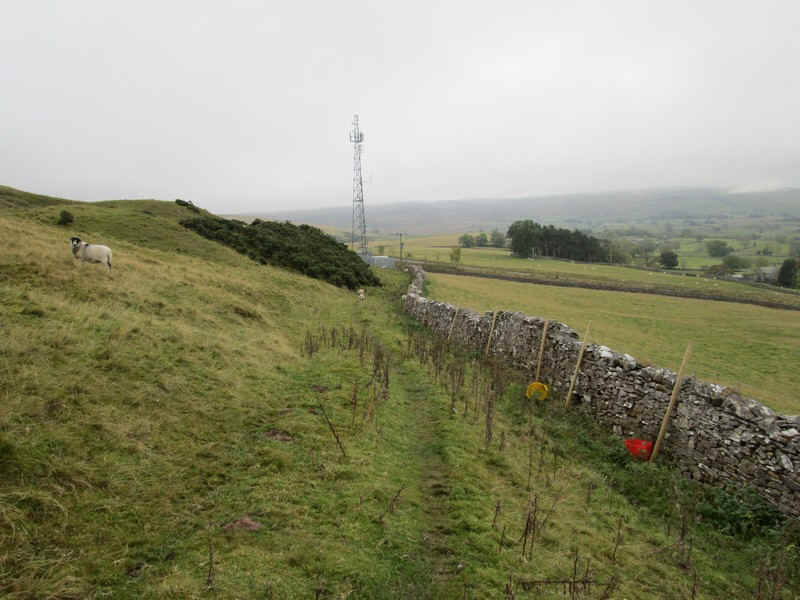
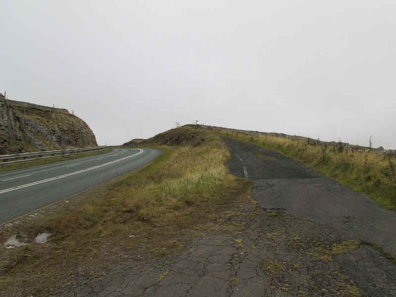
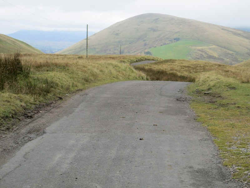
.....to reach a transmitter tower next to the A685.
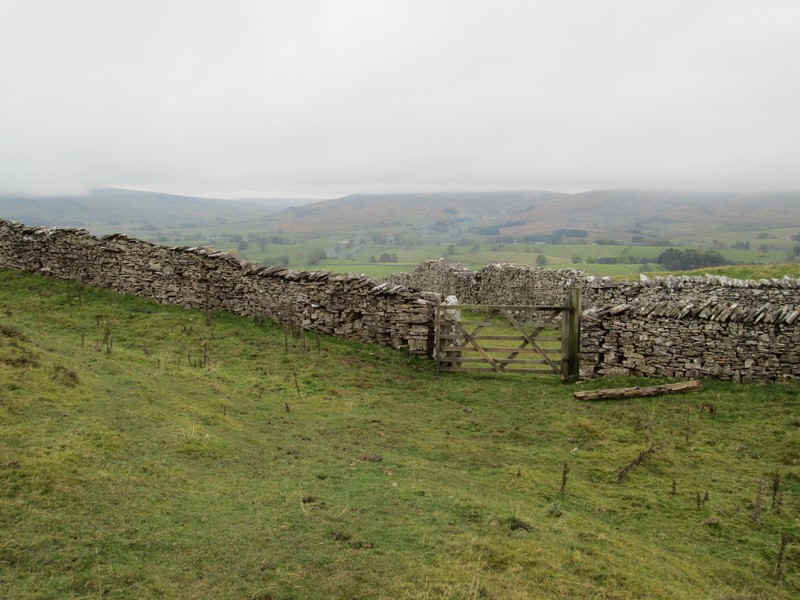
This section of the A685 needs care crossing as traffic tends to come downhill very quickly. To reach the next path it's necessary to head uphill back towards Kirkby Stephen for a short distance..
.....to where the old road leads to a footpath sign in the distance.
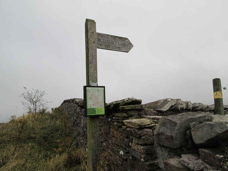
The path is signposted down to Bleaflatt Lane but there's no sign of a path on the ground. Needless to say I wasted time working out where to go...
....before dropping across the hillside down...
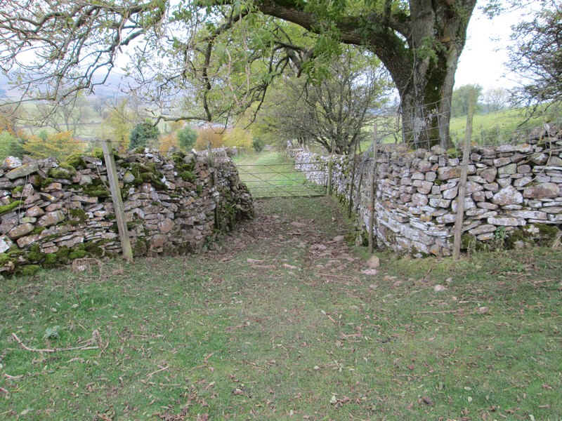
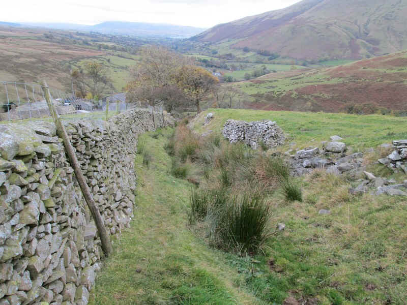
.....to this interestingly shaped wall. I then followed the wall, went through a gate and...
.....continued along the boundary wall..
.....until a green track leading down....
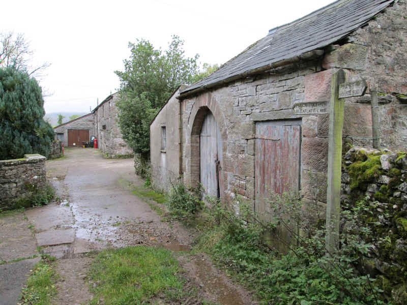
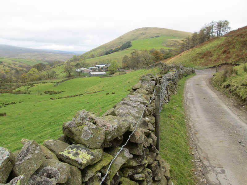
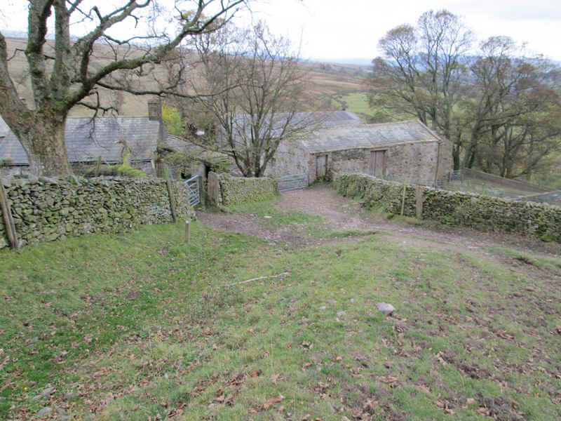
.....to the farm at Ash Fell, where a signpost confirmed I was on the correct path.
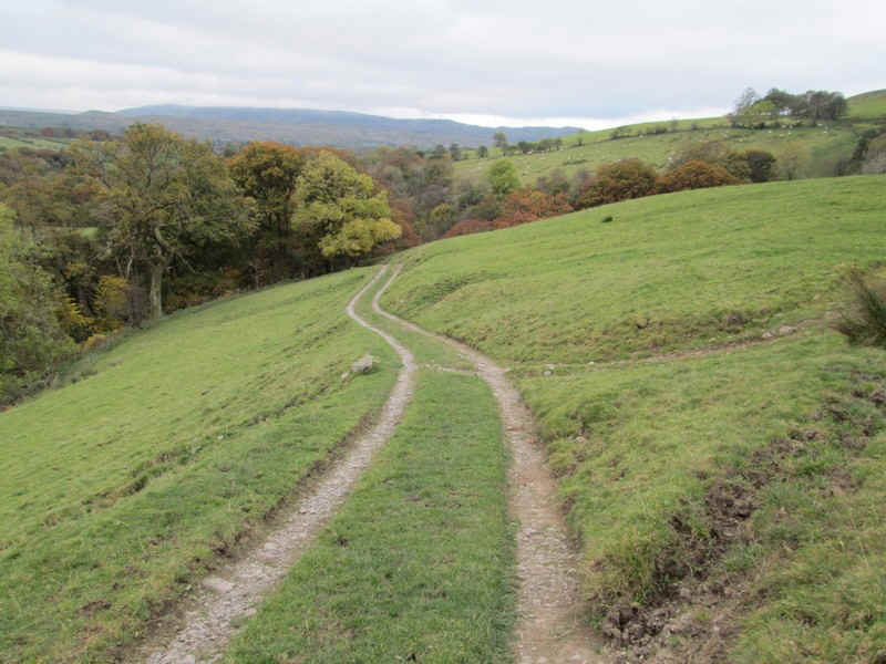
It was then down the farm lane to reach...
.....Bleaflatt Lane.
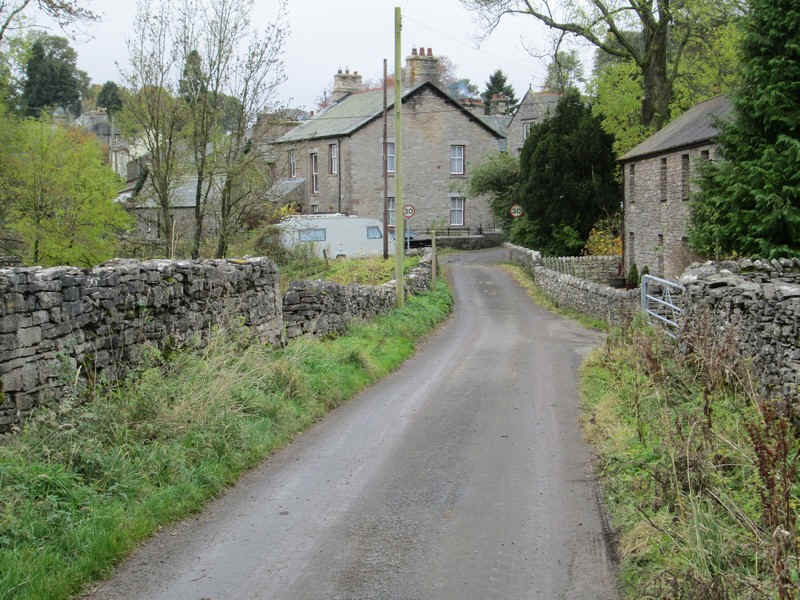
After a short distance the village of Ravenstonedale is reached..
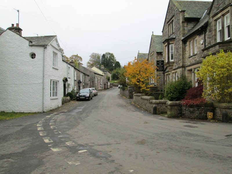
.....and I just wished I'd got more time to visit the 'Black Swan' for a coffee but time was pressing.
On reflection if I were to do this walk again I think it would walk from Brough to Ravenstonedale and stay the night here before heading for Sedbergh. I'd certainly recommend this hotel from a previous stay. Ravenstonedale also has a limited bus service between Kirkby Stephen, Sedbergh and Kendal.
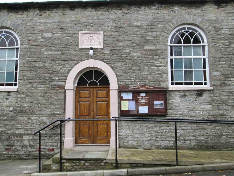
Methodism seems to be strong in this area with an extremely well kept chapel.
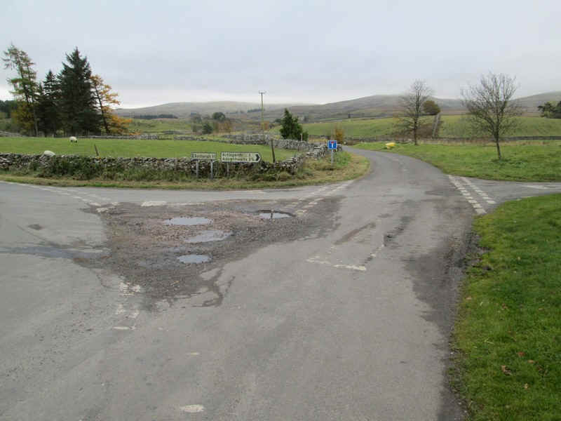
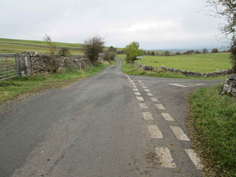
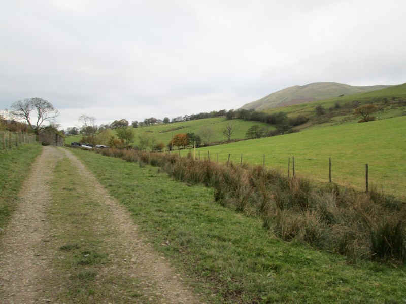
At the south end of the village the road towards Sedbergh turns off to the left, whilst the lane to Adamthwaite heads straight on. The walk follows this for the next four kilometres.
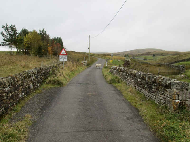
The lane head out onto the open moor at this cattle grid. The sheep in the photo decided to walk over the grid and promptly fell into the gaps. However, it the managed to leap up and got clear!
More sheep having an afternoon rest.
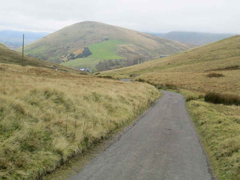
The lane heads south into wilder country.
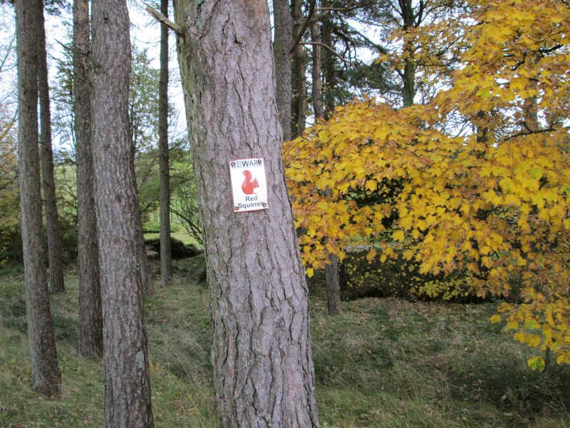
Obviously there are red squirrels about.
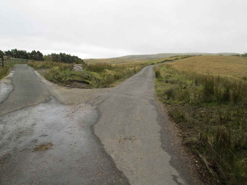
There's a possible route finding error at this junction but the way forward is straight on uphill.
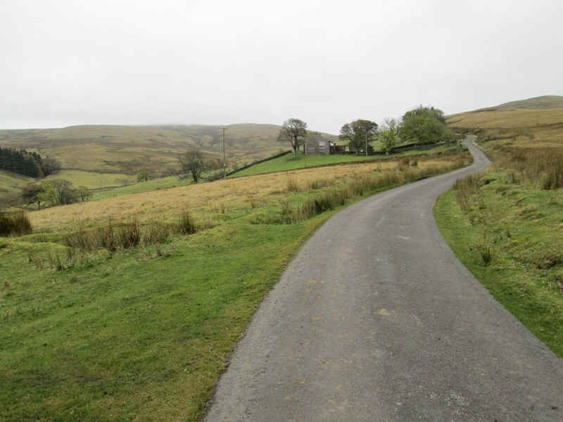
The lane climbs steadily past Banks Farm..
....before dropping down....
......to Gais Gill, followed by a steep 1 in 4 climb to a summit at 413m....
Then it's a steady fall down to..
....the valley of Stonely Gill.
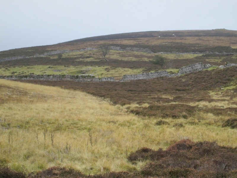
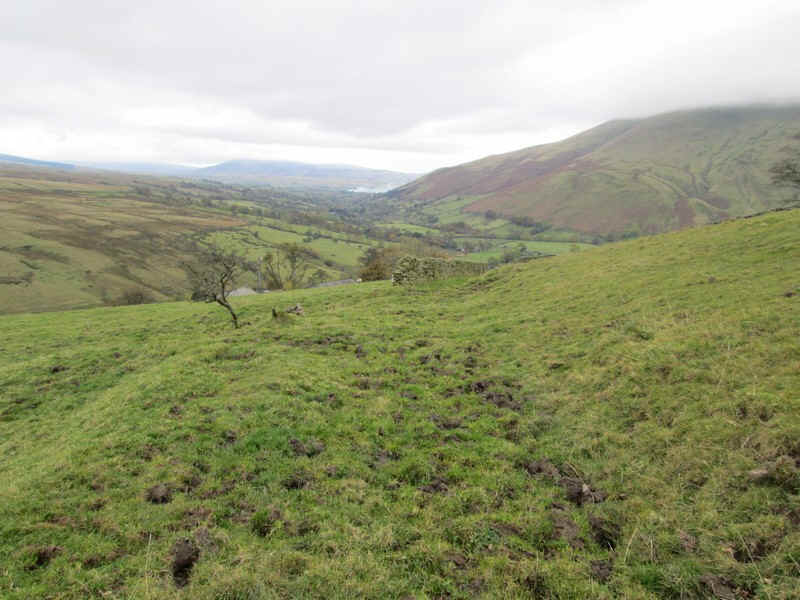
Ahead is Wandale Hill.
The farm at Adamthwaite is reached..
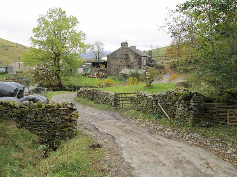
.....and passed..
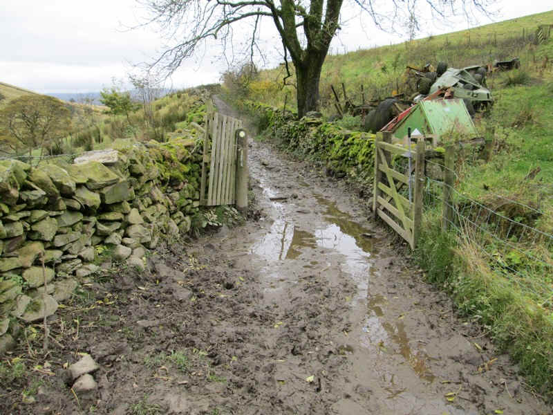
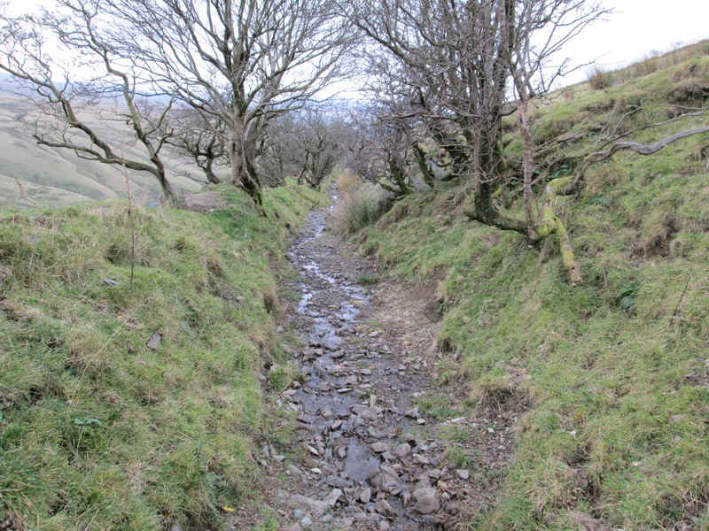
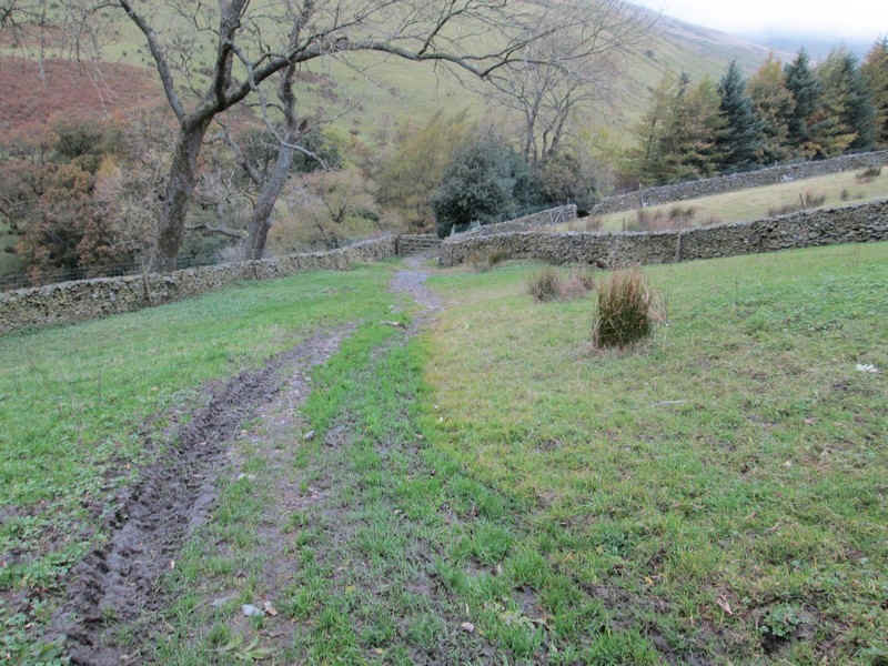
.....to reach one of the most disgusting quagmires I've had to walk through. this was just a foretaste of sections of the rest of the walk to Sedbergh and Arnside
Beyond the path improved slightly...
.....with others sections where the path hadn't recovered from the rainfall of summer and autumn 2012.
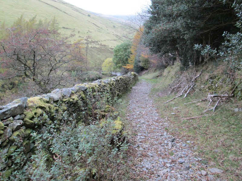
The path runs along the hillside....

.....before the first of several sections of sunken path is reached.
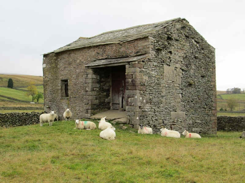
After a derelict barn the path....
....begins its descent..
.......towards Narthwaite.
..where there's another very wet sunken path.
After the farm at Narthwaite..
.....the path heads up the valley..
....and drops down to a stream, where one guide book suggest wet feet are likely.
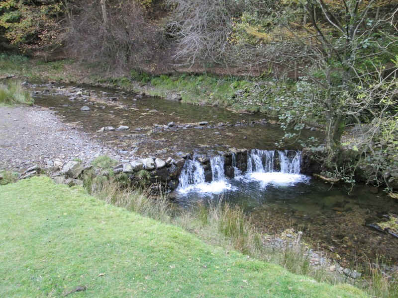
Backside Beck wasn't particularly full but it was still only possible to cross it with care as the 'stepping stones' are very small. There is an alternative way by heading along the main road between Narthwaite and the Cross Keys inn crossing Handley's Bridge, although there isn't actually a right of way over the bridge.
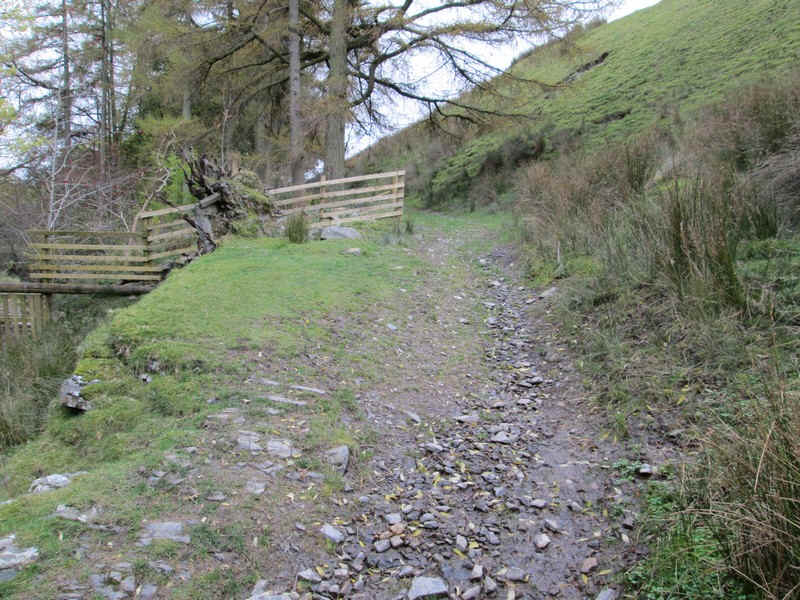
Beyond the ford the path climbs...
....and heads past the Cross Keys...
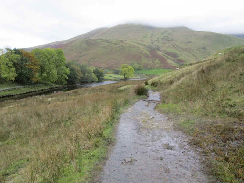
.....and up the prepared path towards Cautley Spout...
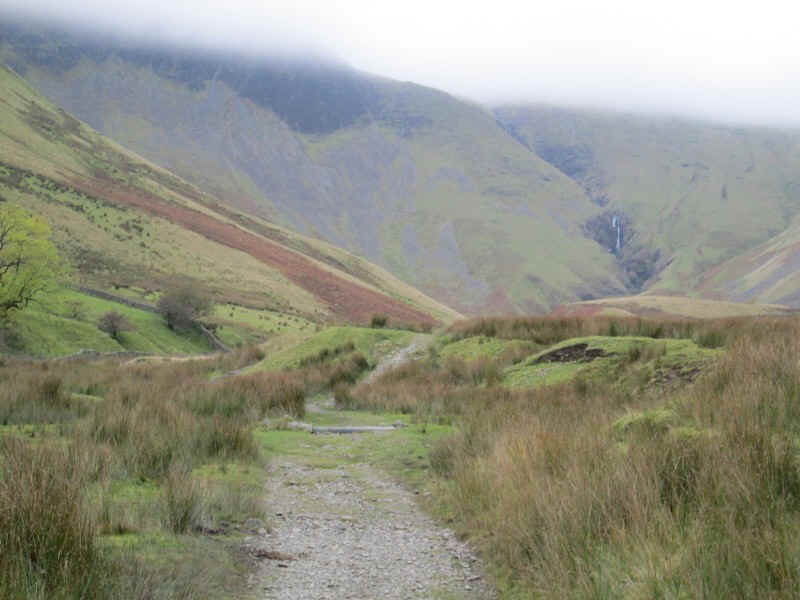
.....which can be seen tumbling down the slopes of the Howgill Fells.
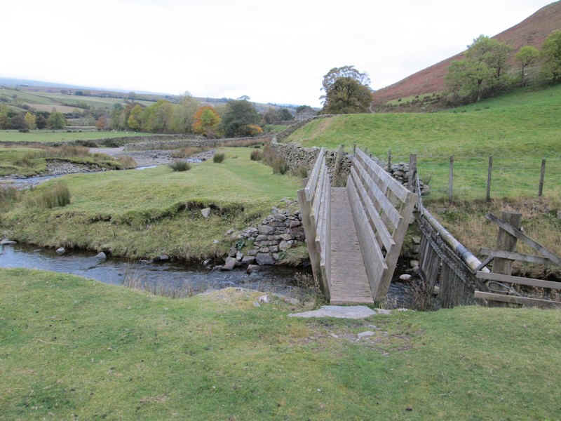
Thankfully, there's a good bridge over the stream as the final stretch towards Sedbergh beckonms, now about 6 kilometres away.
The path climbs slowly up from the valley floor...
....and at first is clear..
....and over grass..
....until a very confusing and overgrown section meant I missed the path for a short while before....
.....finding it again at a tumbledown fence and gate.
Beyond the path heads towards Fawcett Bank...

... where the farmer was dealing with a large number of sheep. I promised not to let them escape and when I was asked, "How are you?" I replied, "Mucky!" He laughed at that.
The final part of the walk is along the farm lane which drops to another stream...
...before reaching Thursgill...
.....where it turns into a paved road.
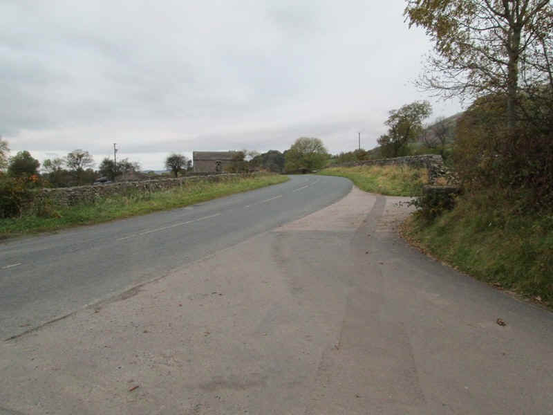
After another kilometre or so this reaches the main A683 near Straight Bridge.
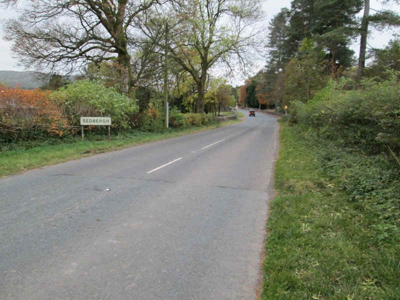
It's then another kilometre along the verges to reach Sedbergh.
It was just beginning to get dark as I arrived at about 17:45 for a stay at 'The Bull'