A' Chralaig and Mullach Fraoch-choire
I did this walk in June 2013 starting from the Cluanie Inn.
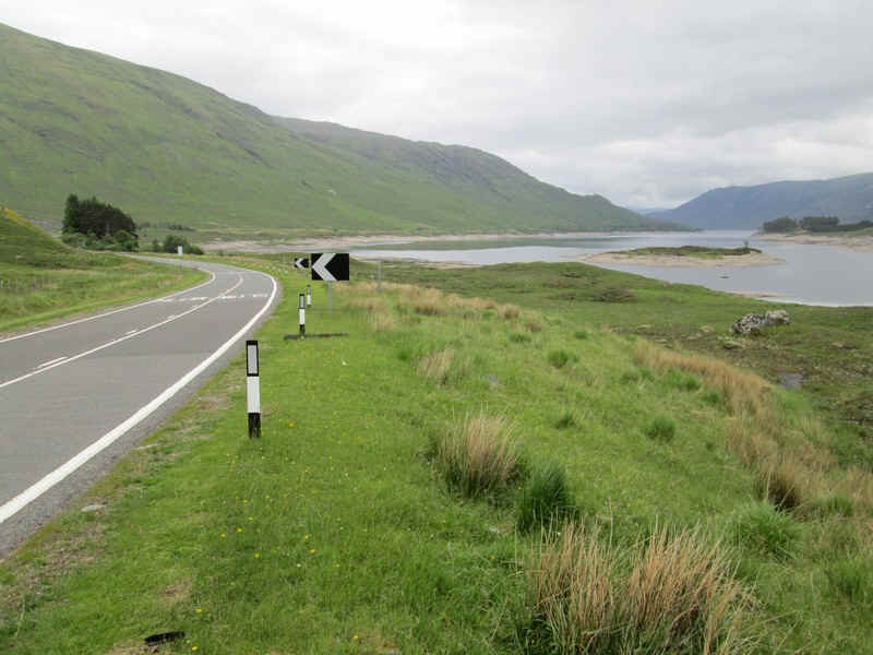
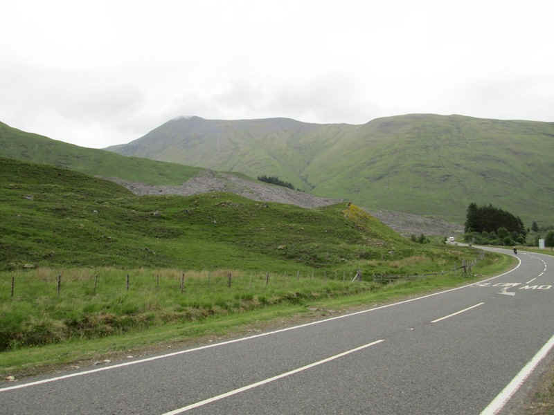
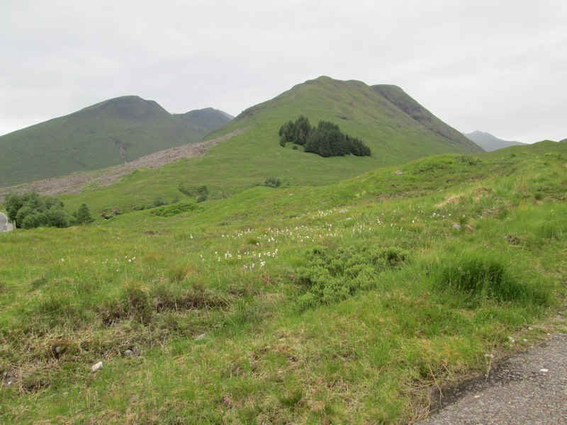
There's a walk of just over a kilometre along the A87 towards Loch Cluanie.
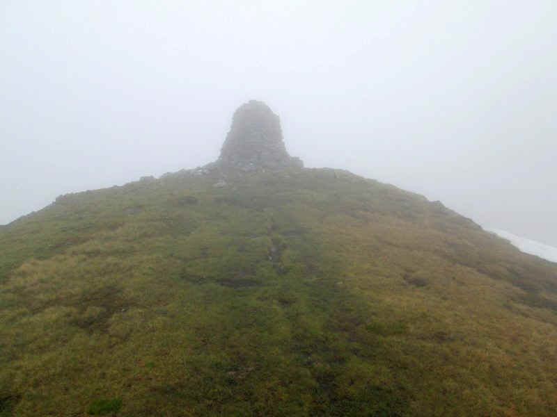
The first Munro of the day A'Chralaig is visible from the road - its enormous cairn can be clearly seen.
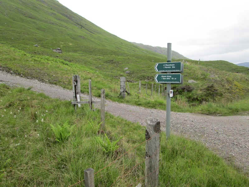
Leaving the main road, the track to Glen Affric is followed for a short distance to...
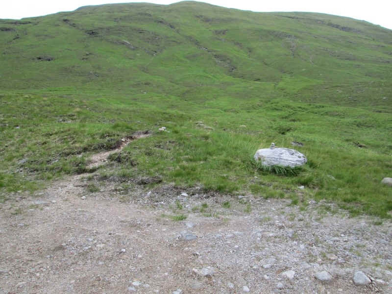
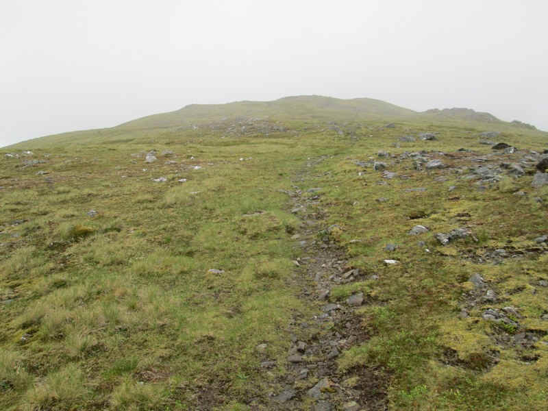
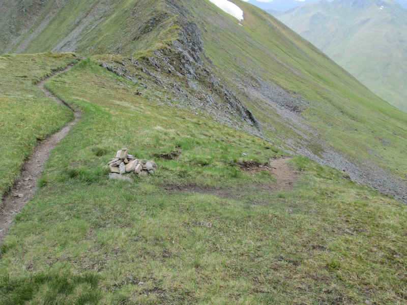
....a small pile of stones where the path to the summit starts. This is followed the entire way and is generally quite clear.
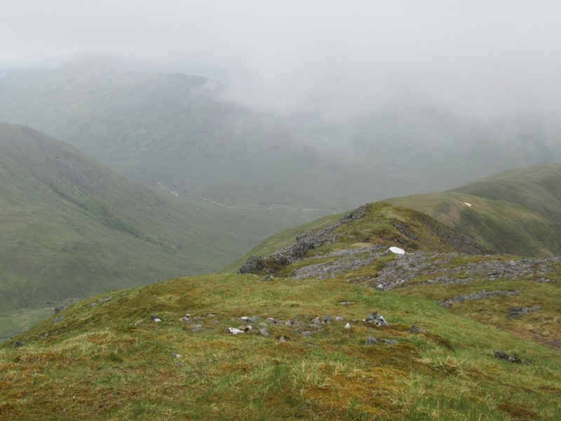
Over to the north west is the Munro Aonach Meadhoin whilst, in the centre, is the Corbett Am Bathach. Just visible in the right distance is Ciste Dhunh.
The day's weather didn't look very promising, with low cloud over the South Glen Shiel Ridge.
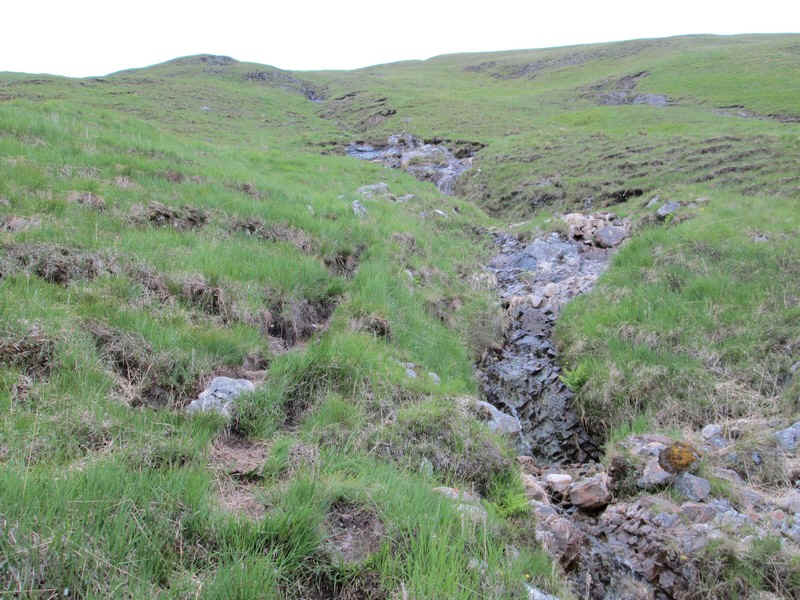
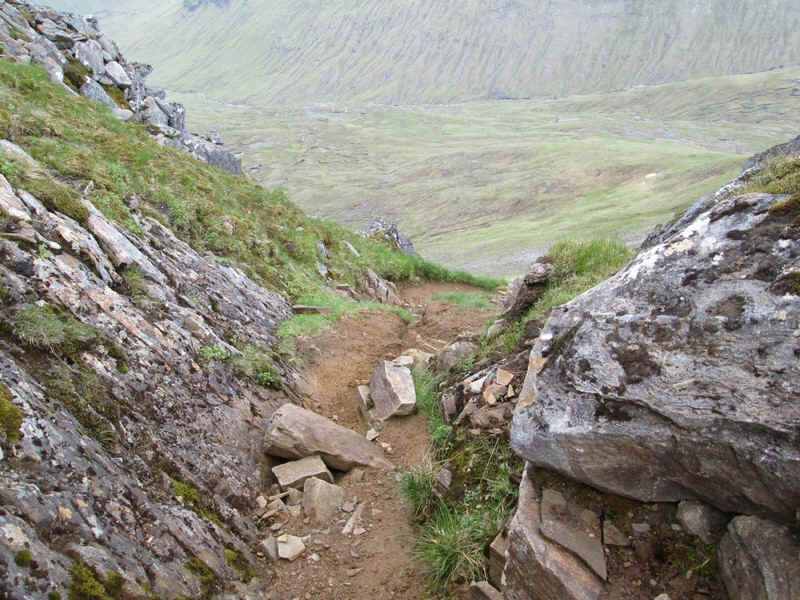
The track generally follows the line of a stream...
.....as it climbs steeply from the road to reach the beginning of the main ridge..
.....at about 800m - that's about 570 metres in about 1.4 km which is about 1 in 2½.
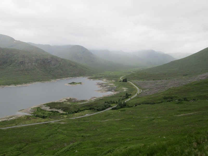
On reaching the ridge there's a small cairn where the path turns sharply left, but a walk over to the 803m spot height gives...
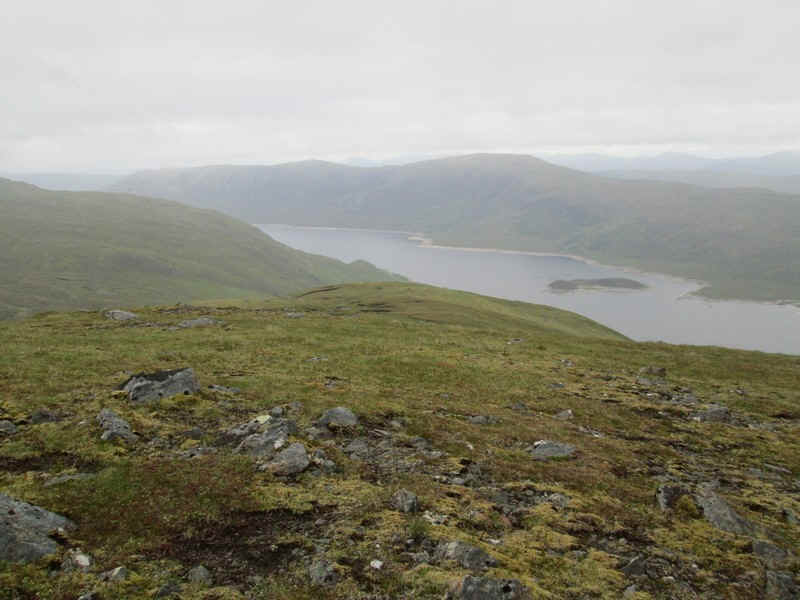
.....a good view down over Loch Cluanie, one of the lakes of the Glen Moriston hydro electric scheme.
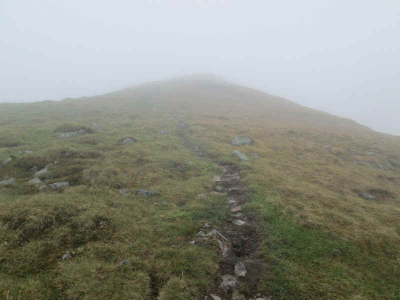
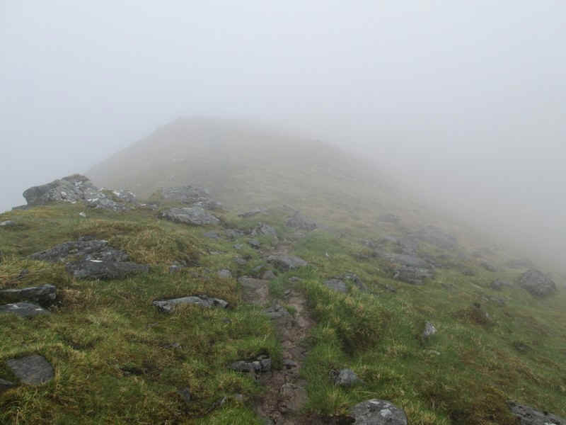
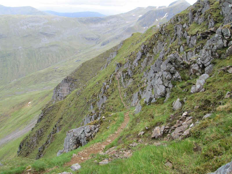
The way to the summit continues north up the main ridge...
....on a clear and gently graded track...
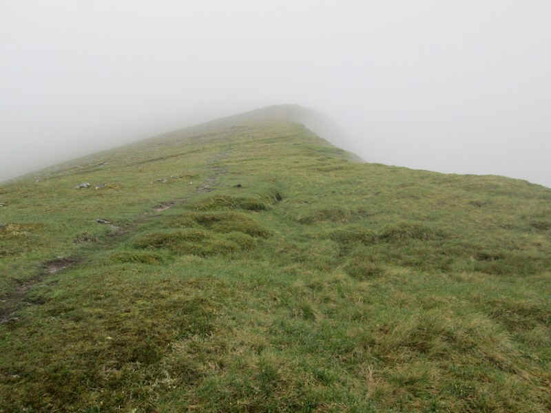
....running along the edge of the steep drop down into Coire na Cralig, unfortunately hidden by low cloud.
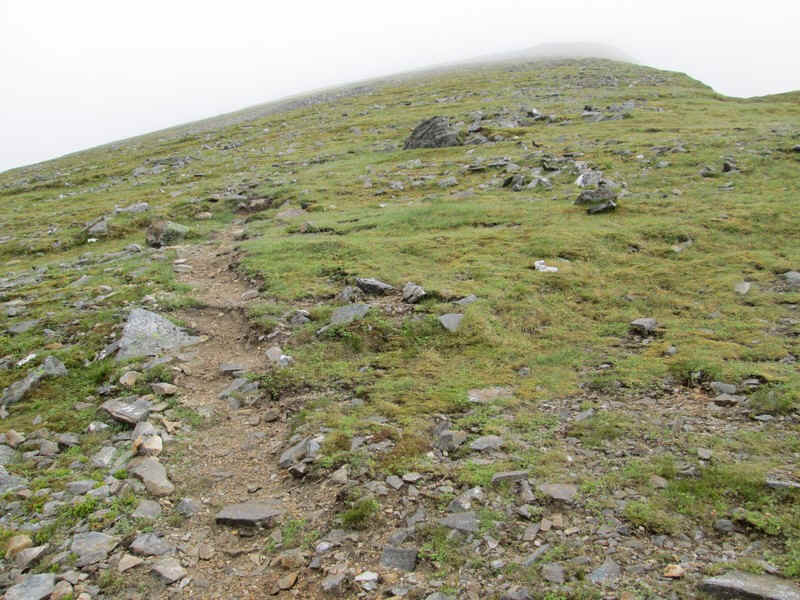
Looking ahead it was obvious that views were going to be absent but....
.....it was still clear looking down the ridge.
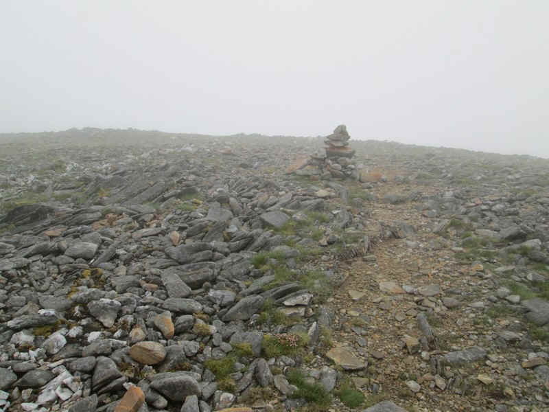
At the spot height at 1037m the path changes direction slightly at this cairn...
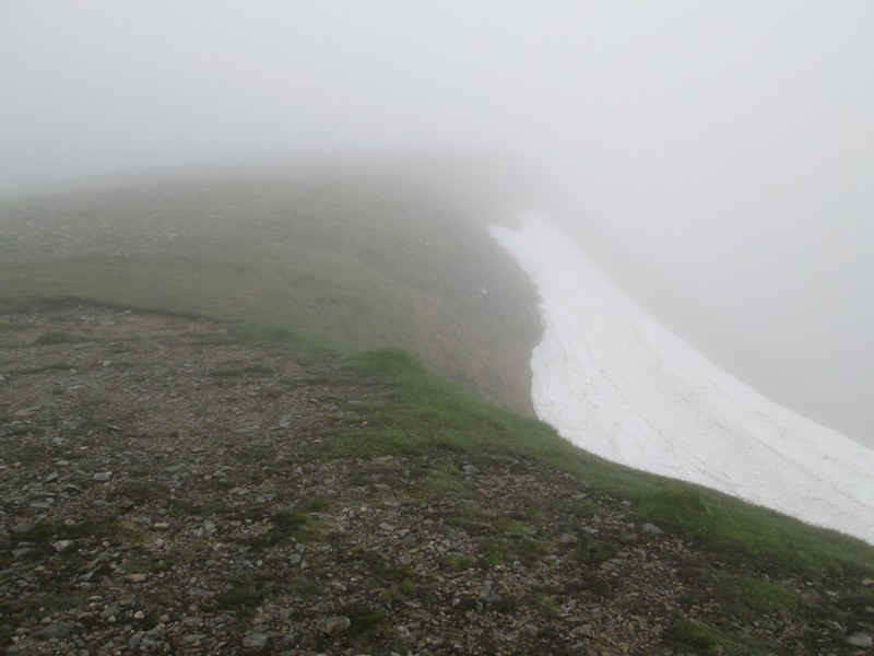
....and continues along the edge of the ridge with evidence of the long winter of early 2013 still to be seen in many places.
There's another cairn near the 1052 spot height..
....and the ridge turns grassy again.
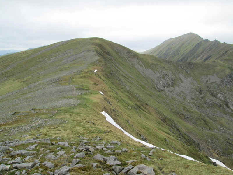
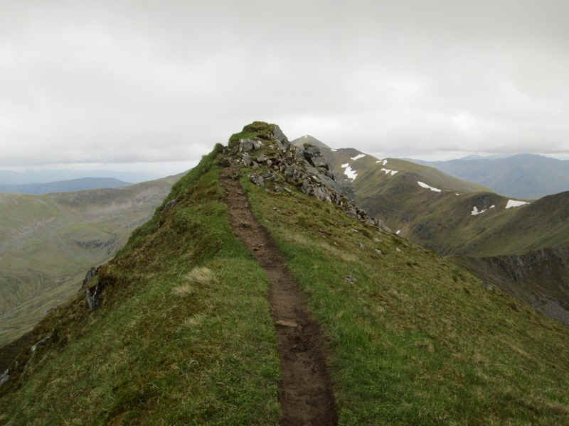
Reaching the summit of A'chralaig at 1120m the ridge has narrowed and the enormous cairn occupies its centre.
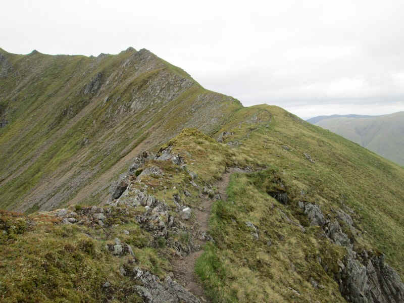
I went straight on, dropping down the narrow ridge..
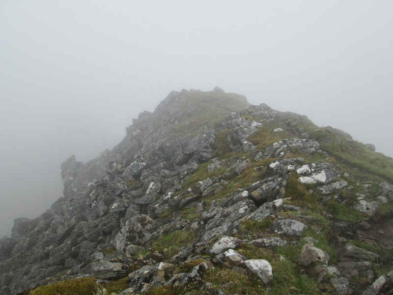
....which in places has several narrow rocky sections.
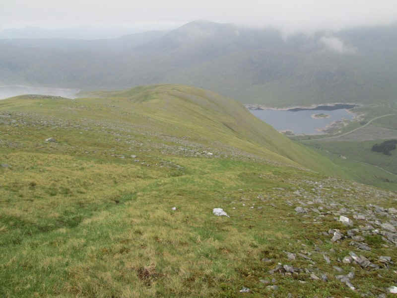
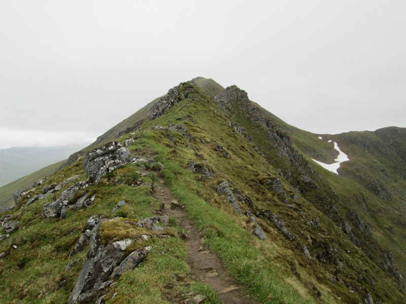
Suddenly, the cloud began to break up and the north ridge was revealed.
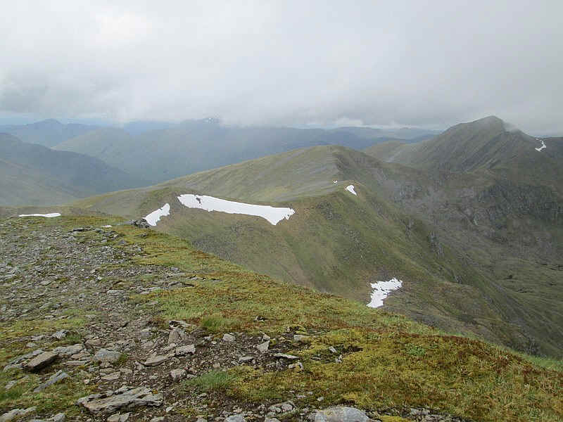
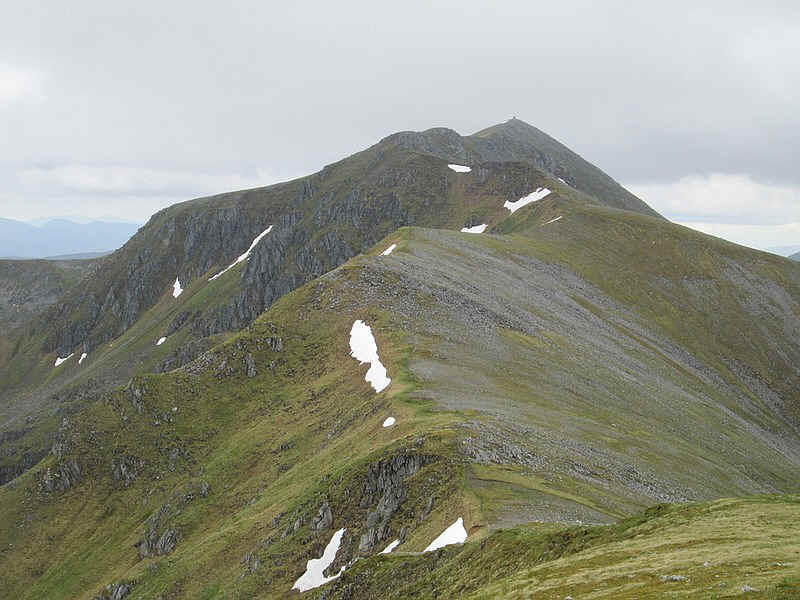
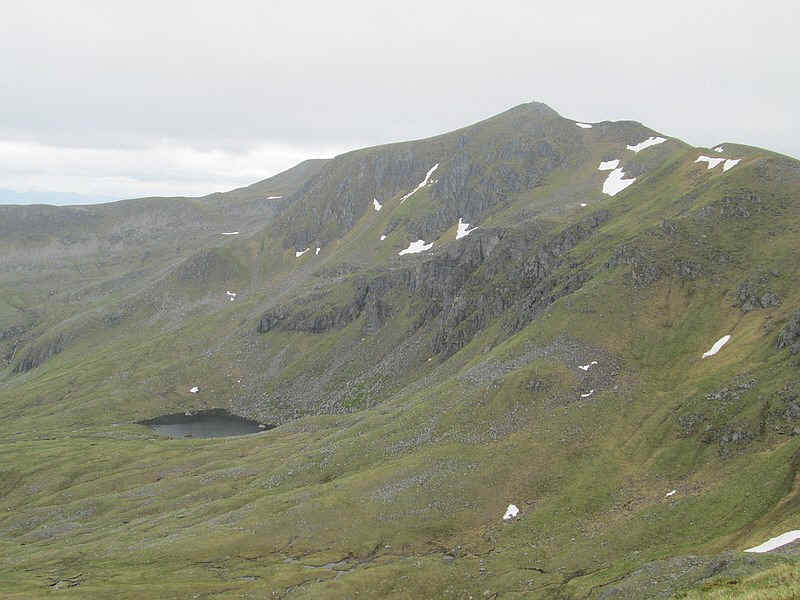
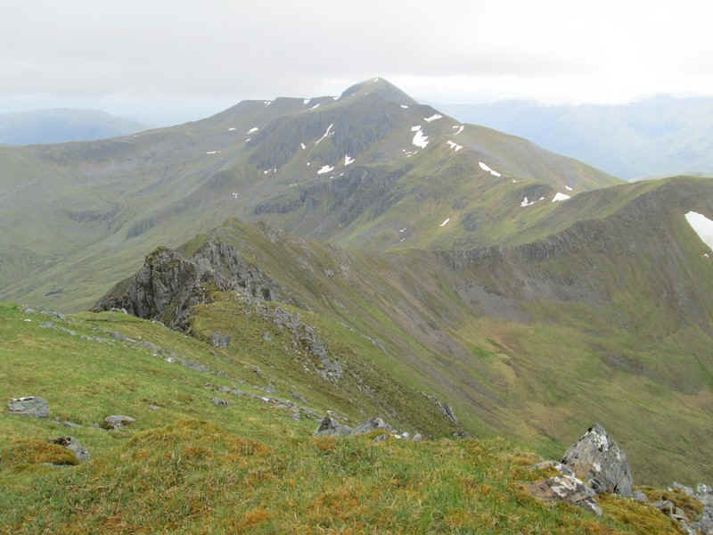
Very shortly the cloud base lifted significantly to reveal the rest of the day's walk. In the centre is the subsidiary summit of Stob Coire na Cralaig whilst, over on the right, is the second Munro of the day - Mullach Fraoch-choire.
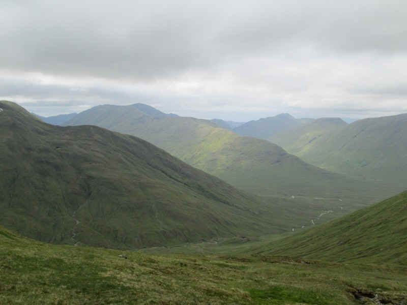
Over to the west the rest of the Kintail hills appeared from out of the murk. In the distance in the right half of the photo are the dark peaks of the Five Sisters of Kintail - my walk on the following day.
Looking back the summit of A'Chralaig had cleared of mist. Oh well!!
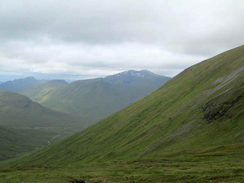
To the east is the 1109m high summit of Sgurr nan Conbairean.
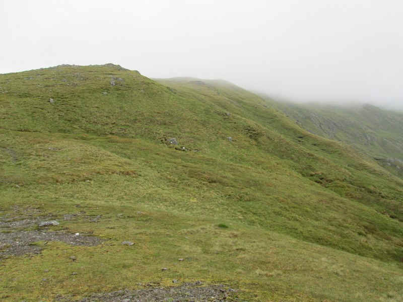
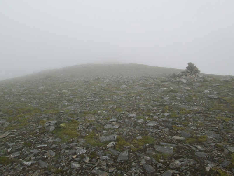
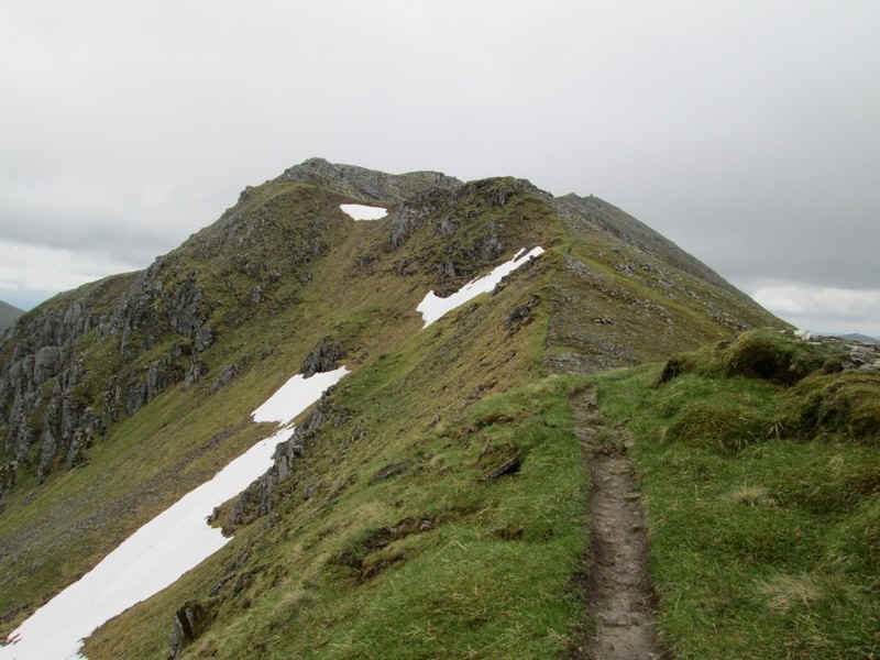
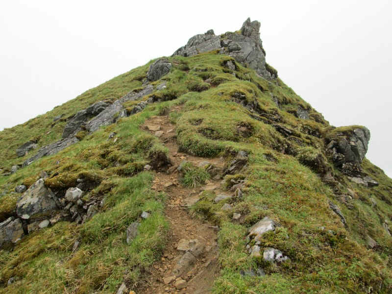
The clear path climbs to the summit of Stob Coire na Cralaig.
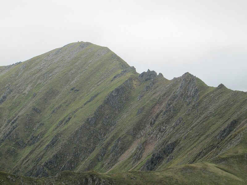
A telephoto (and sharpened) shot of the pinnacles on the approach to Mullach Fraoch-choire looks a little intimidating.
Another look back at A'Chralaig with its cairn clearly visible.
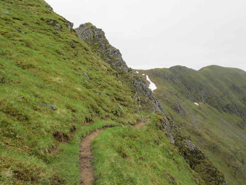
The path now drops down to the bealach..
....which is narrow and rocky.
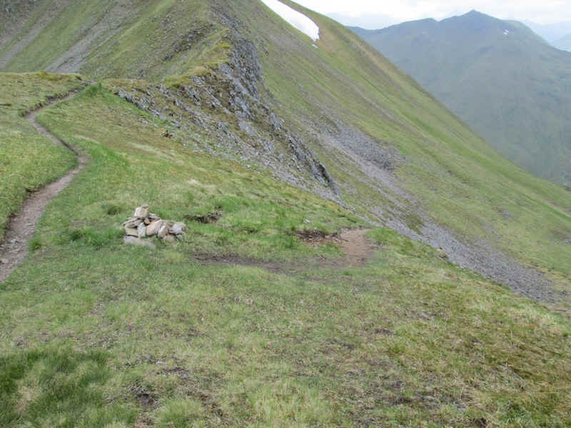
There's a cairn and a clear track down into the glen which I was intending to use later on.
Another view looking back of A'Chralaig with its enormous cliffs and the Lochan na Cralaig now in view.
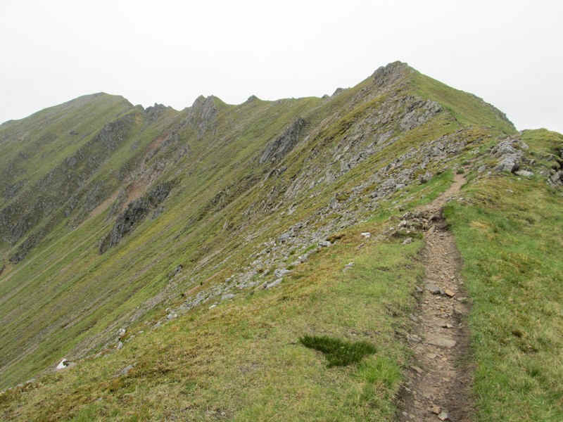
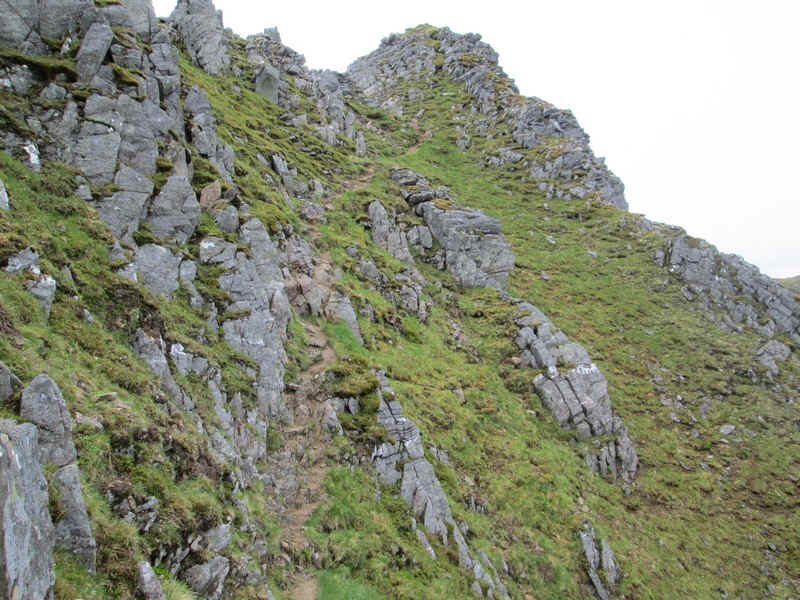
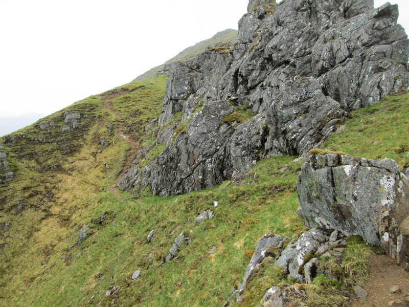
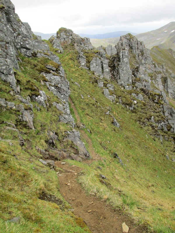
The walk over the pinnacles seems to have a bad reputation among walkers for exposure, so I approached it with some trepidation given my dislike of big drops.
Onwards and upwards towards the pinnacles...
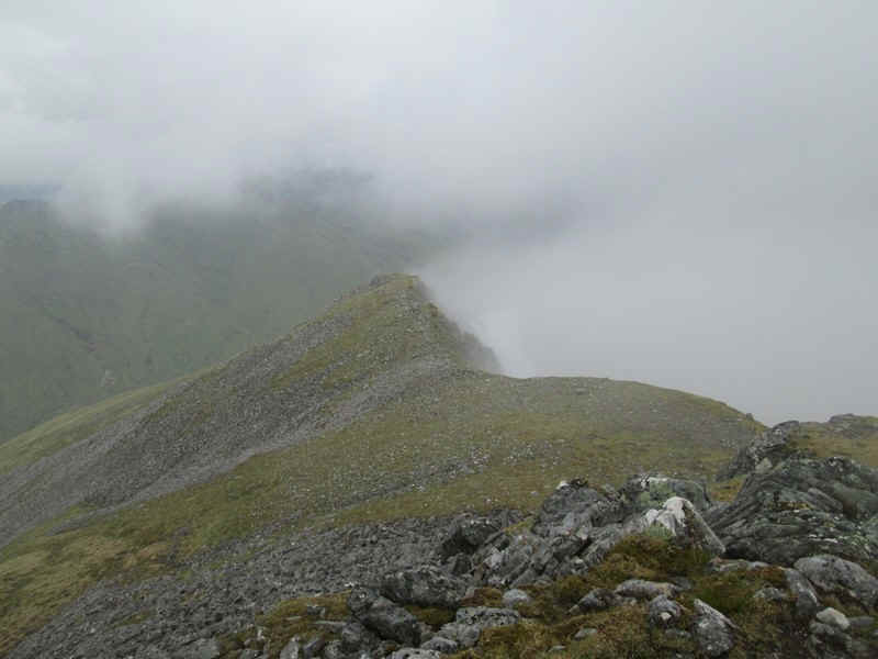
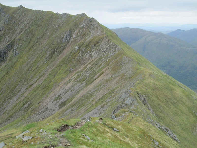
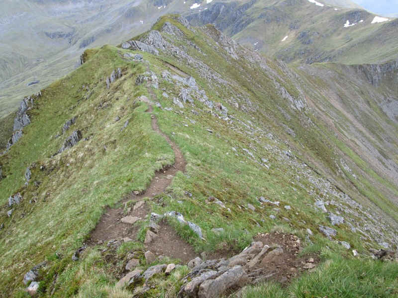
The ridge narrows into an arête with steep drops on either side.
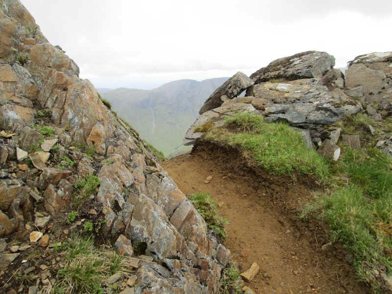
For mere mortals like myself, who don't fancy clambering over the very top of the ridge, there is a path that hugs first the east side of the ridge..
.....with some "entertaining" sections...
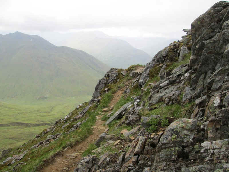
....before it dodges across the ridge to the west side.
...skirting rocky outcrops..
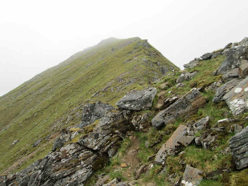
...to finally come out on to a less exposed section..
....of the ridge to reach...
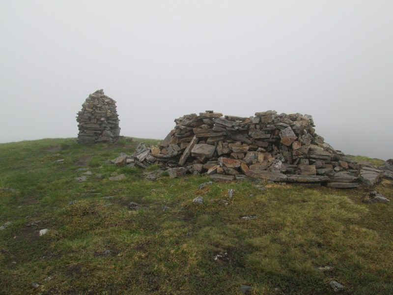
....the cairn and shelter on the domed summit of Mullach Fraoch-choire (1102m)
The views down into Glen Affric were somewhat hazy.....
.....in contrast to those looking back to A'Chralaig. Having walked along ridge without any feeling of "I wish I wasn't here and why do I do this?" I decided to photograph the return as paths can feel different in opposite directions.
Dropping down on the west side before climbing up to the....
......"keyhole". This could be a nasty shock if you weren't expecting it!
Looking ahead from the "keyhole"...
.....as the path drops down onto the east side before...
.....climbing up onto the top of the ridge..
....and then dropping down...
....to the cairn at the bealach. Whilst I felt completely safe on the ridge I'm not sure I would have in high winds.
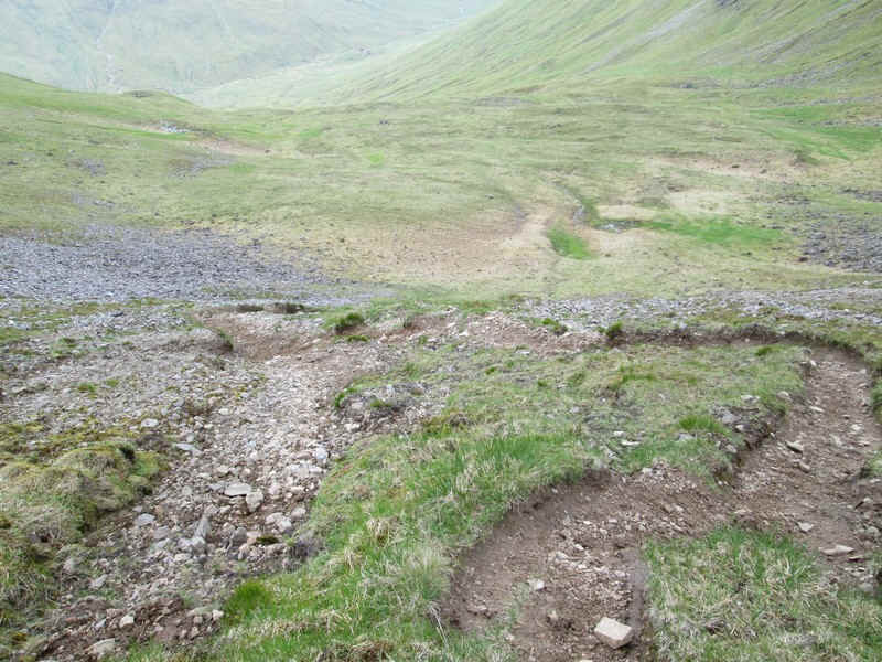
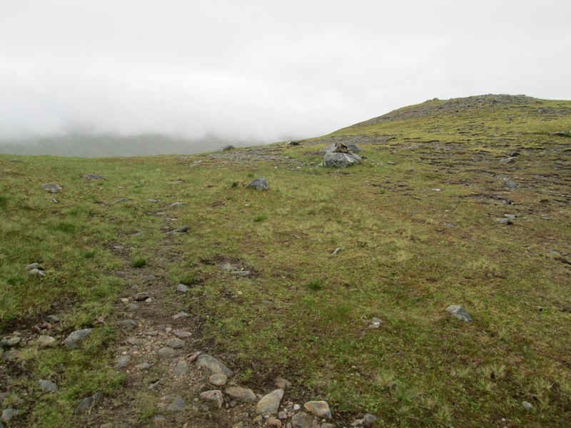
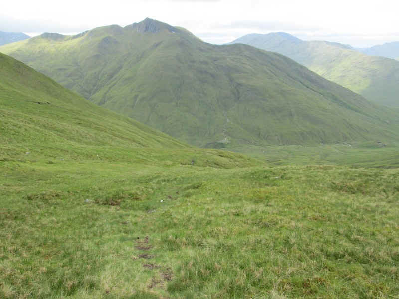
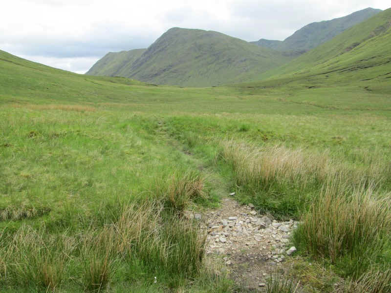
Beyond the bealach there's a clear, if eroded path down into Coire Odhar.
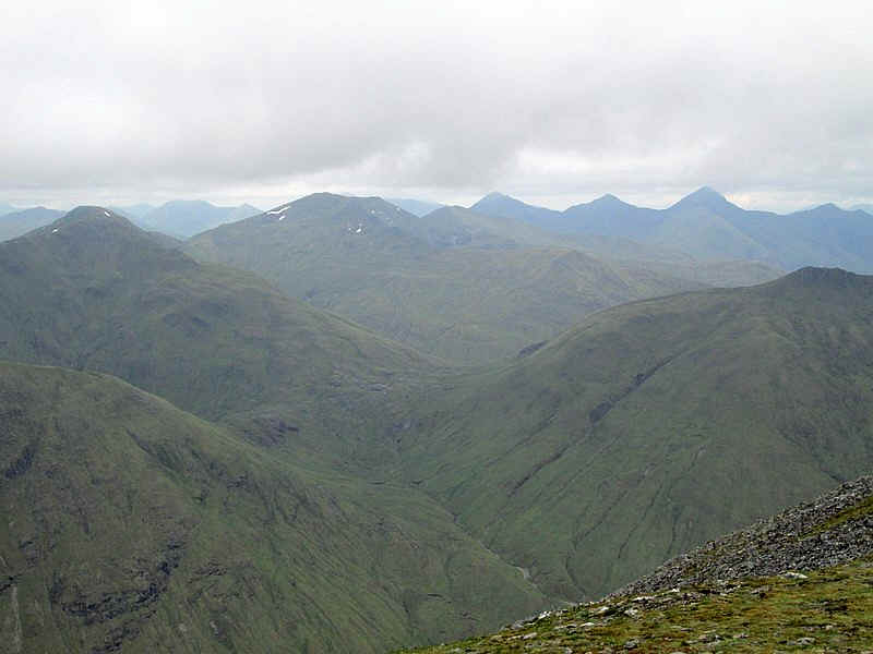
Looking down towards Glen Affric where the main glen on the right splits into Glen Gniomhaidh (in the distance), Fionngleann (in the middle) and the glen with the Allt a' Chomhlain (in the foreground). The path becomes a little faint in places but keeps to the left bank of a stream as it heads down to a track by the side of the Allt a' Chomhlain. The high point In the centre is the Munro Beinn Fhada (1032m)
The haze had cleared giving a good view of the rather inaccessible Munro of Sgurr nan Ceathreamhnan (1151m) above Glen Affric.
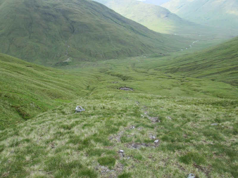
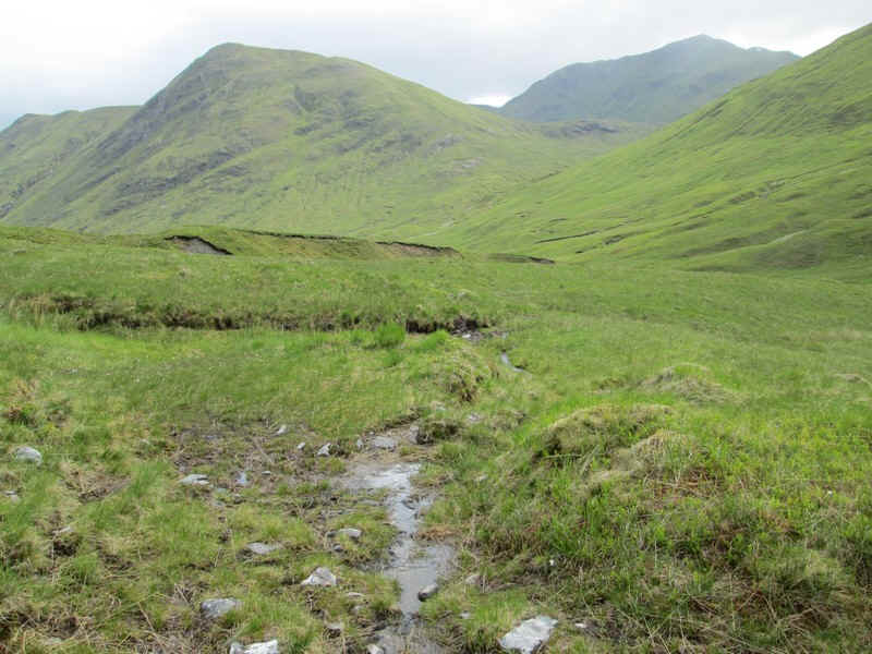
The path down into the glen crosses a couple of streams..
.....and is a pleasant saunter down gentle slopes with the pointed peak of Ciste Dhubh (979m) ahead.
The valley track is now in view...
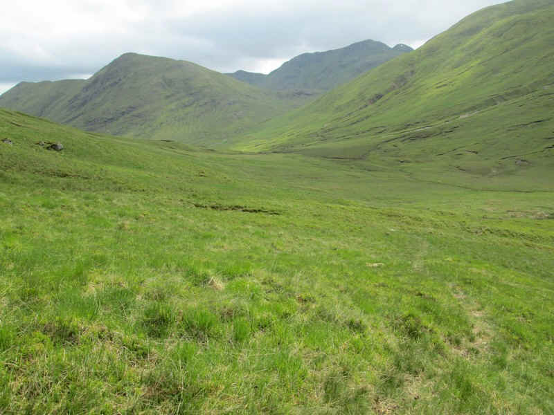
....and as the glen floor is reached the path swings to the south west to...
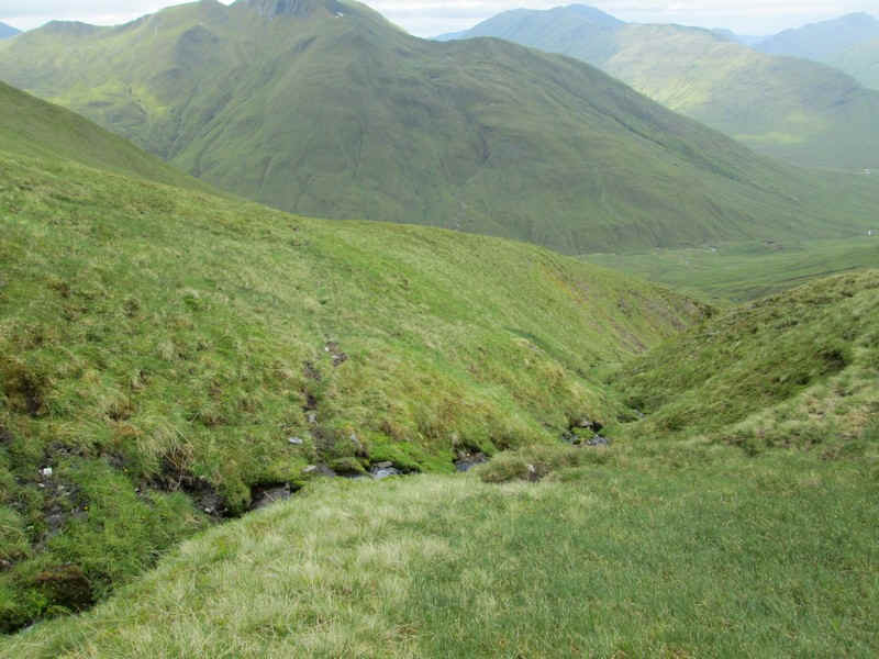
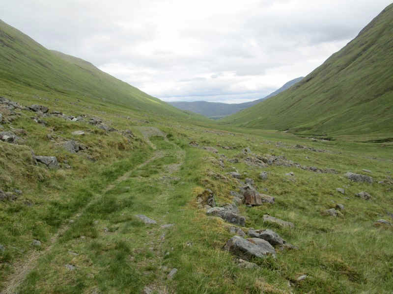
.....meet the track at NH 07802 16574 where there is a tiny cairn.
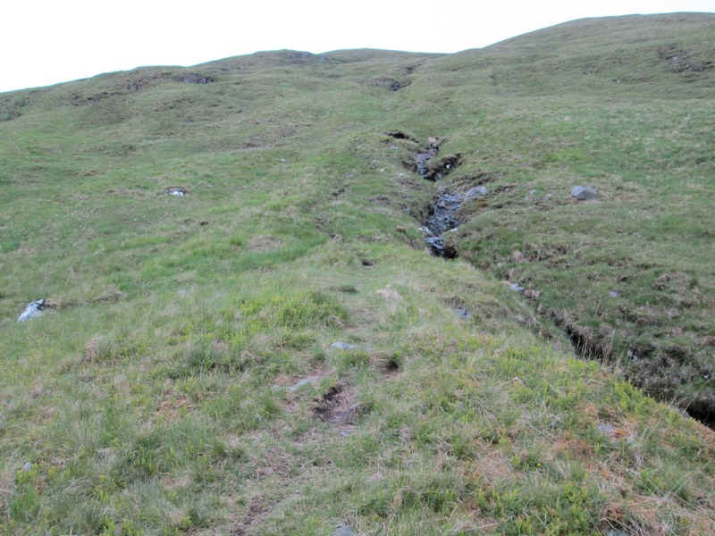
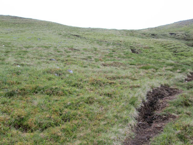
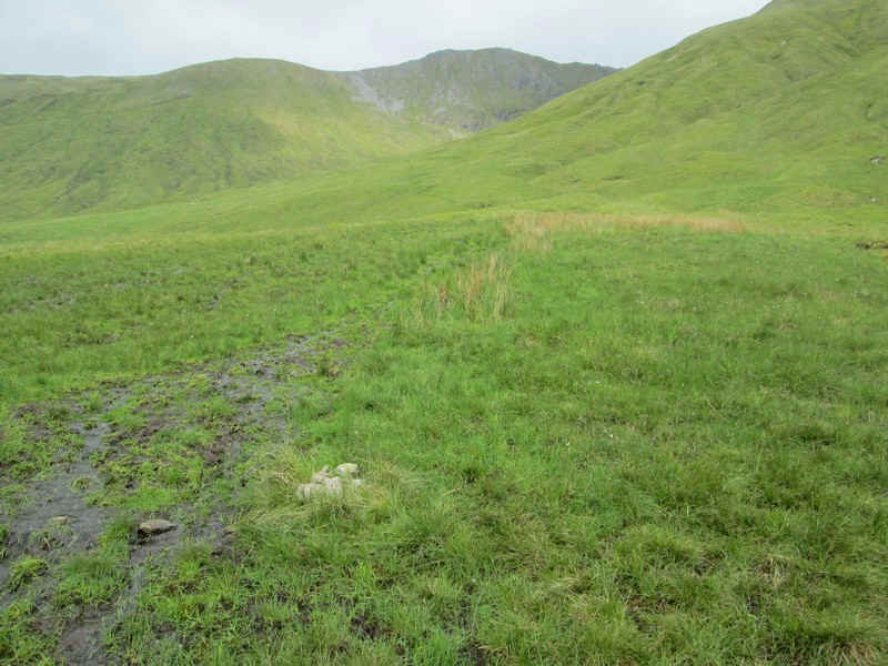
The track, which runs from Glen Affric youth hostel to the A87 at above Loch Cluanie, is often boggy and not well defined. In this photo the watershed can be seen. The stream on this side of the watershed flows north to the River Affric and eventually the Beauly Firth. The stream on the far side flows south to the River Morriston and Loch Ness before reaching the sea at Inverness.
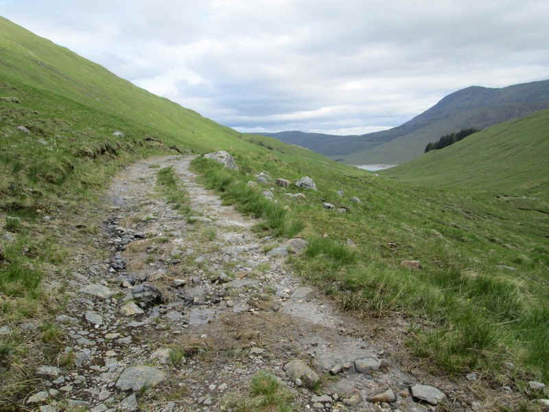
The watershed itself is inevitably a boggy mess!
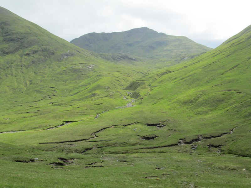
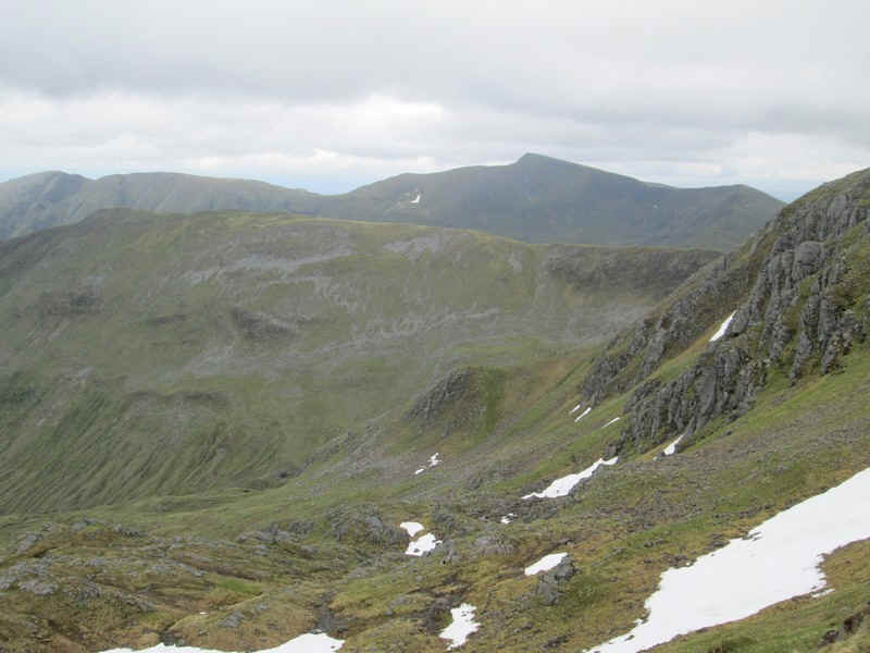
Looking up the Allt Coire Fhearchair with the 1001m high Aonach Mheadhoin in the centre.
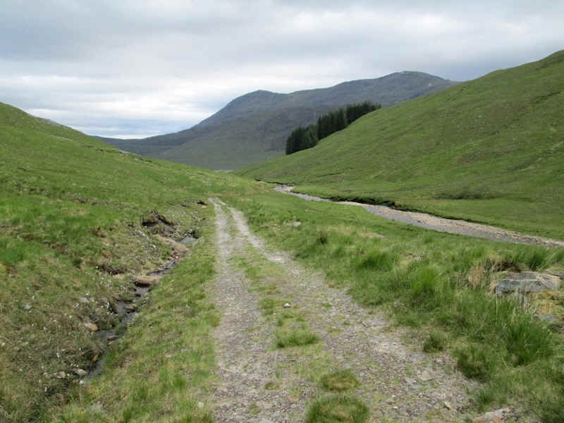
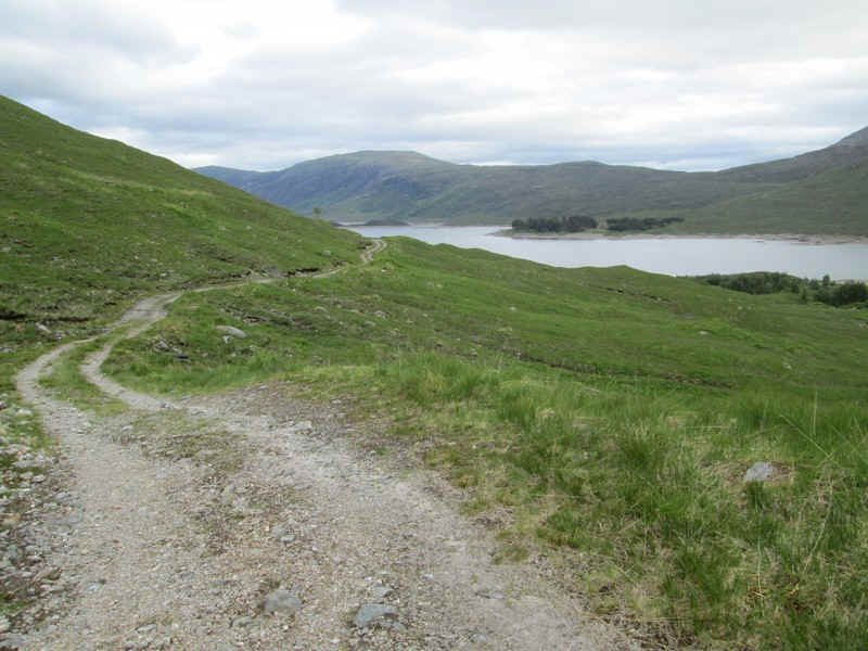
Eventually, the track turns into land rover track which heads down this perfect example of a U shaped glacial valley..
.....with the waters of Loch Cluanie appearing.
It's a pleasant way to end a days walk .....
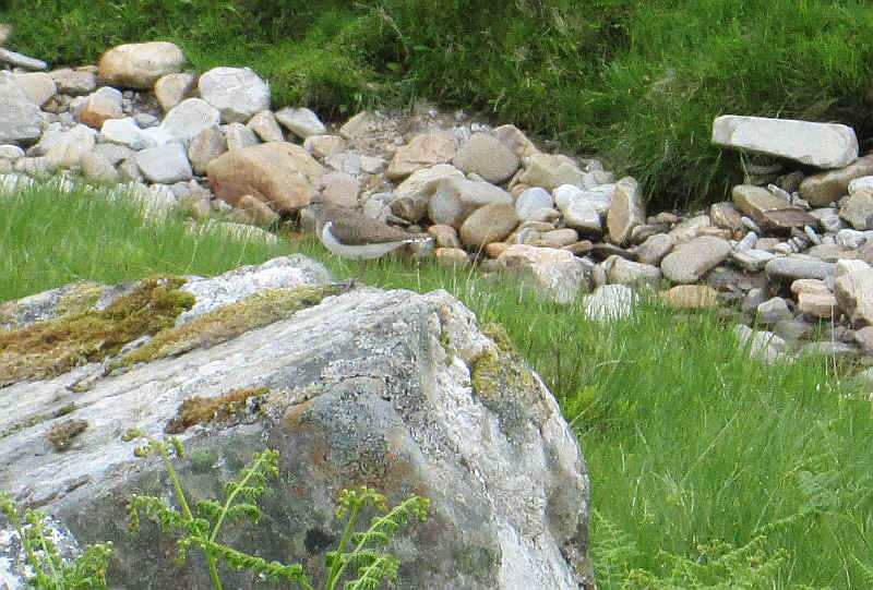
.....enlivened by this bird getting very annoyed that I was there.
Dropping down to the loch and the A87. The walk had taken eight hours, including several breaks, from the normal starting point just off the A87, so my times were well within those suggested in the Walk Highlands Munro guide.