Meall an Fhudair
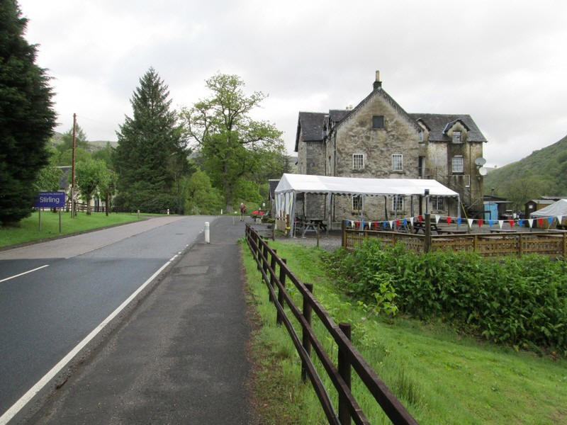
I have been thinking for some time of climbing this Corbett which lies tantalisingly close to Glasgow. However, unless you have a car, there would seem to be problems accessing the start of the walk. Most people seem to start the walk from a small parking area just north of Inverarnan on the A82. If you are using the Citylink buses you can easily reach Inverarnan, where there is a stop outside the infamous Drovers' Inn. However, there is then a three quarter mile walk along the busy road with no safe verges and would be very dangerous for someone on foot.
However, there is another way up directly from the Drovers' Inn which has not been mentioned in any guide book or on any of the numerous trip reports" that I've read.
The account below was from a walk in May 2022.
Catching the 06:45 Uig bus I set off about twenty past eight....
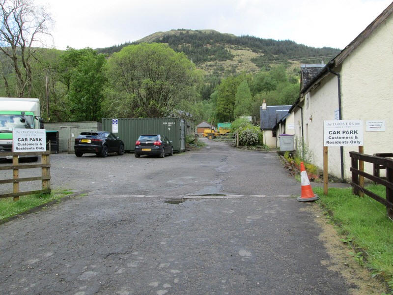
Directly opposite the inn is a car park and at the far end a locked gate. However, you can easily step around it on the right and............

....directly ahead is another gate and style.
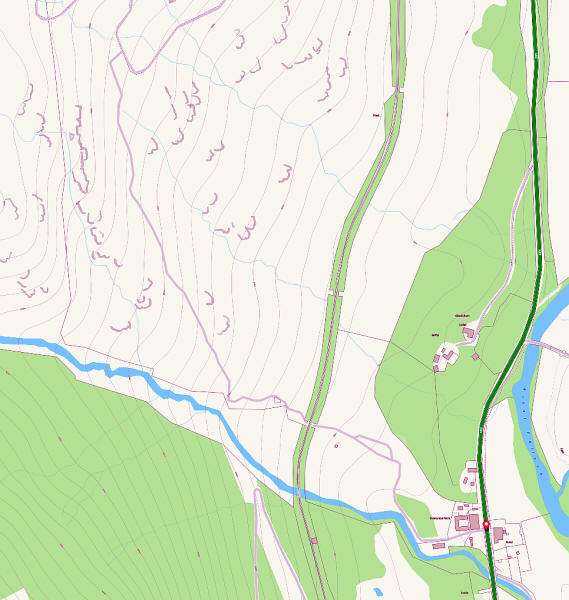
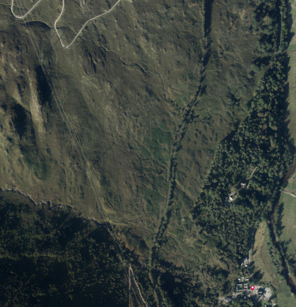
The map above comes from the OS Maps website - it can be found in the "standard" maps section. By enlarging the map much information that is not on the 1:25000 maps can be seen. I've colour enhanced the map so that the route is shown leaving the red dot at the inn and is a lilac coloured line. The aerial photo also shows the faint course of the track.
The track looks as though it may have been built during the construction of the power lines for the Sloy HEP scheme. It curves uphill from Inverarnan...
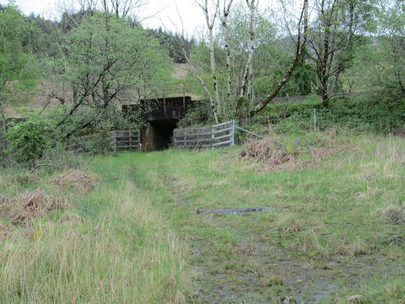
.....and passes under the railway line......
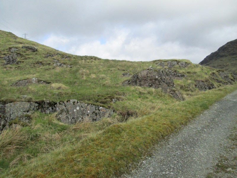
...before reaching the open hillside
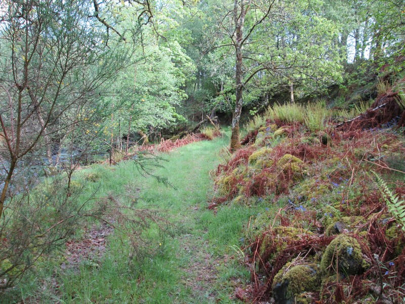
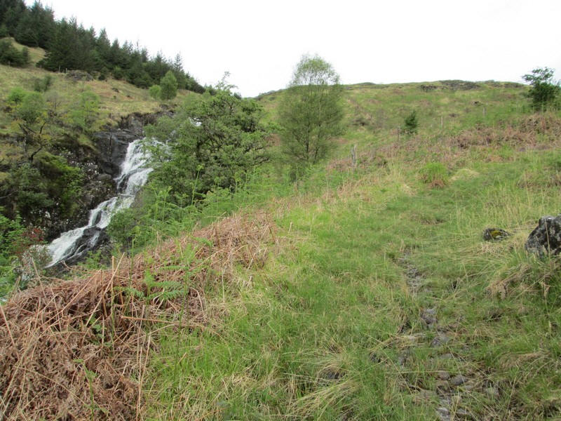
The track climbs steadily and varies from being quite clear to being rather overgrown.
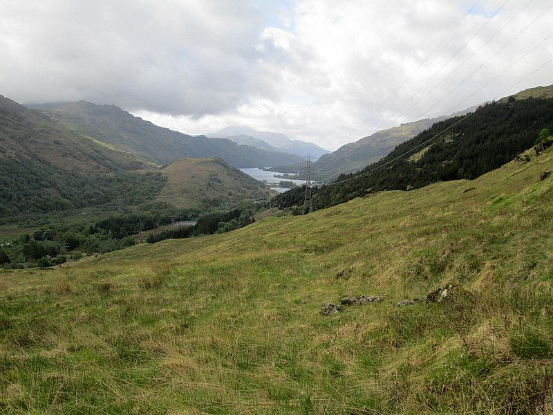
Looking back towards Loch Lomond with Ben Lomond in the far distance just under the clouds.
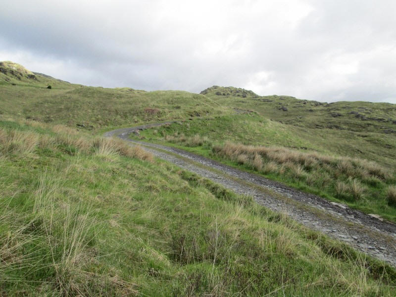
The track meets the main vehicle hydro road that comes up from the A82 at NN 31116 19393 at a rather inconspicuous boulder.
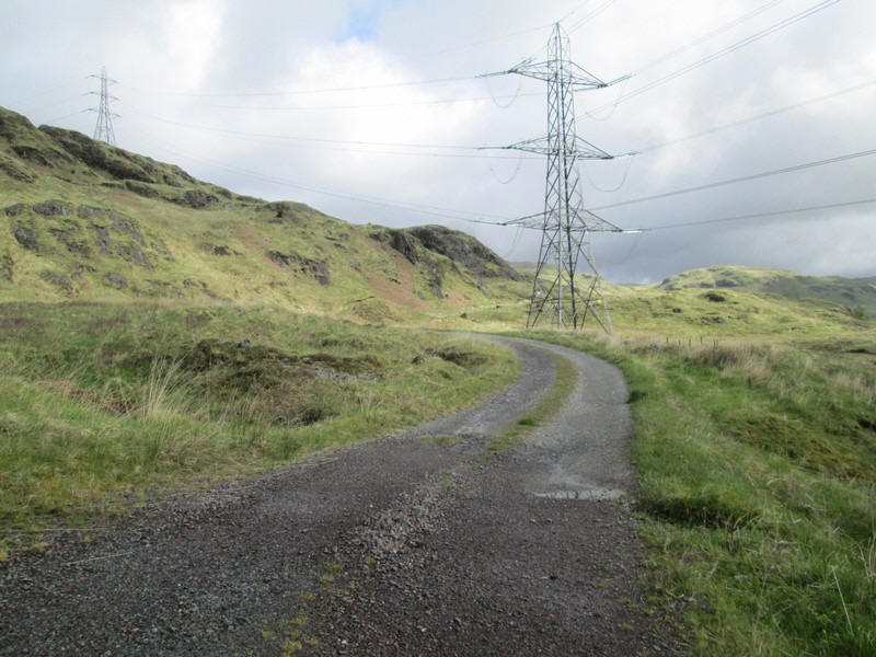
Heading uphill the hydro road...
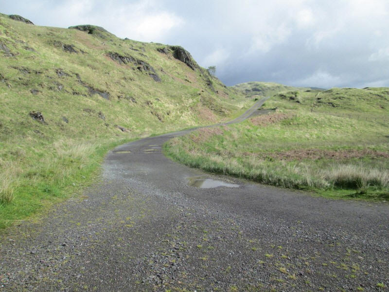
...reaches a junction where the right turn is taken.
The start of the hill walk is at a small pile of stones on a boulder at NN31039 19875
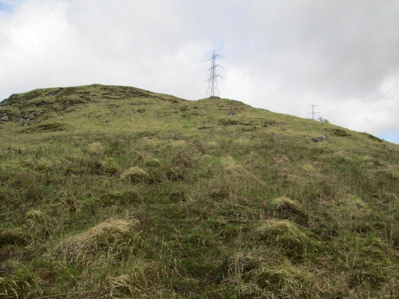
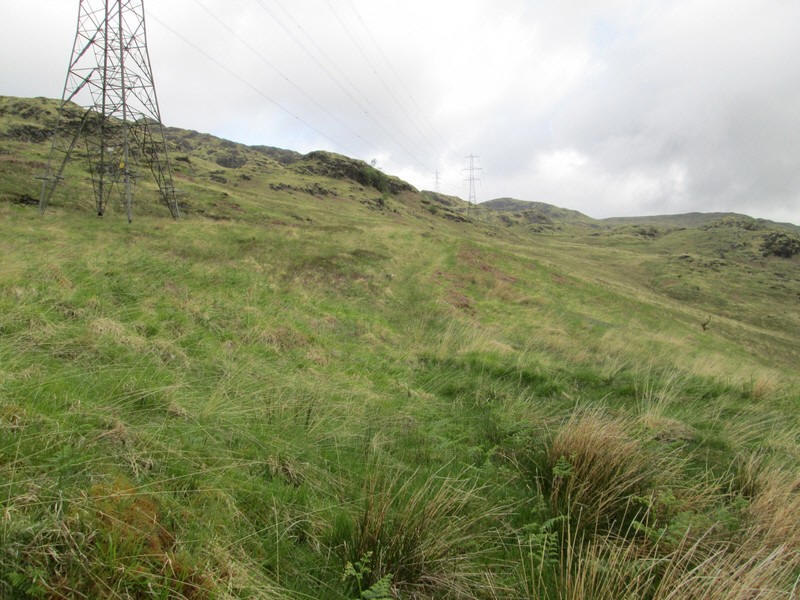
The faint track heads straight up to this pylon which is located at about NN308198. On my return down hill at the end of the climb I found knowing this useful to make sure I walked to the correct pylon as there are several quite closely.
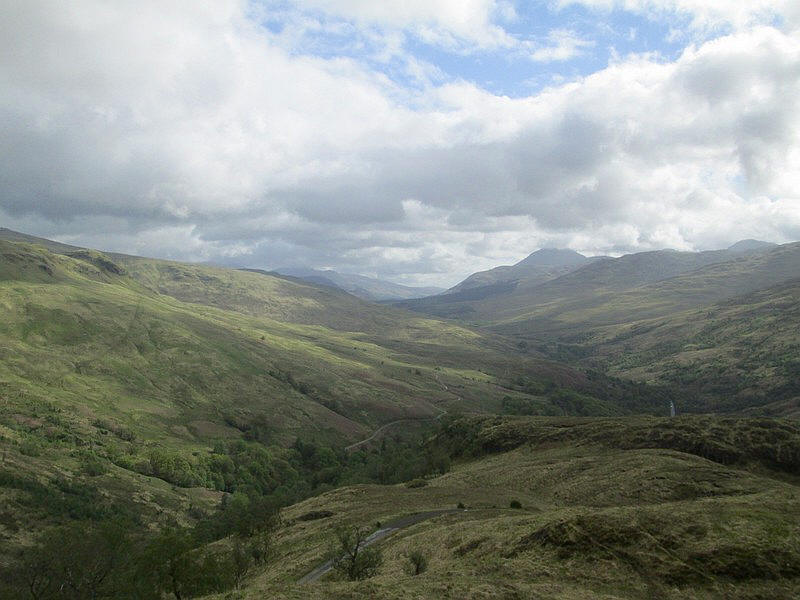
Looking north up Glen Falloch towards Crianlarich withe Ben More prominent just right of centre.
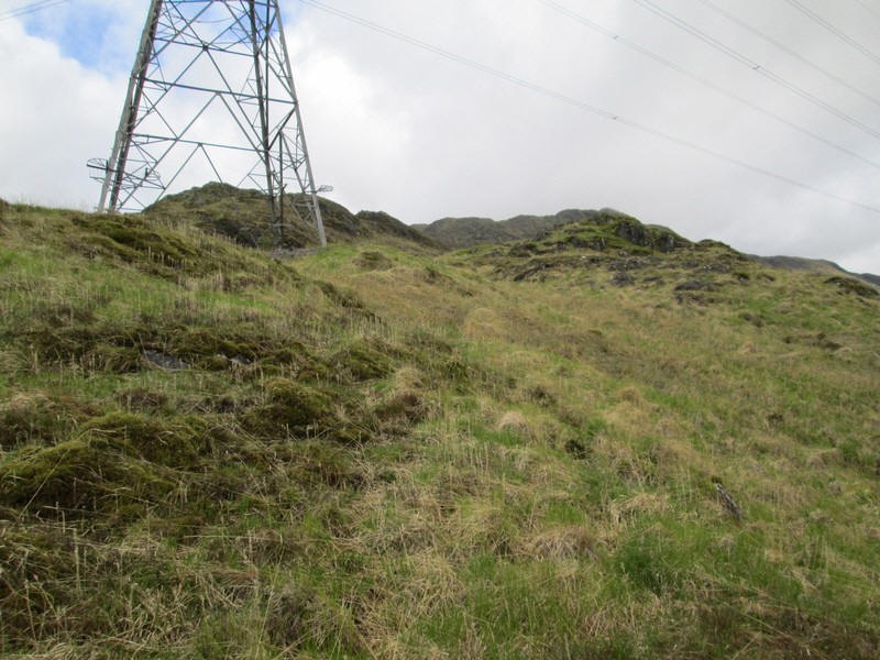
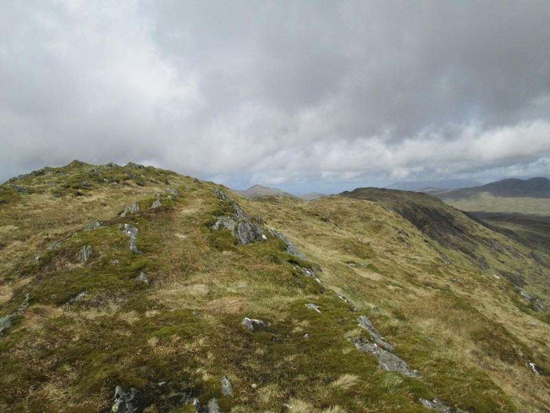
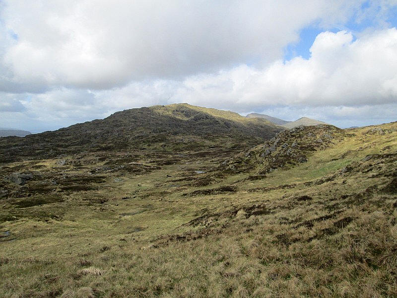
The pylon towers above the path with the first view of the east ridge leading to the first summit of the day, Troisgeach,...
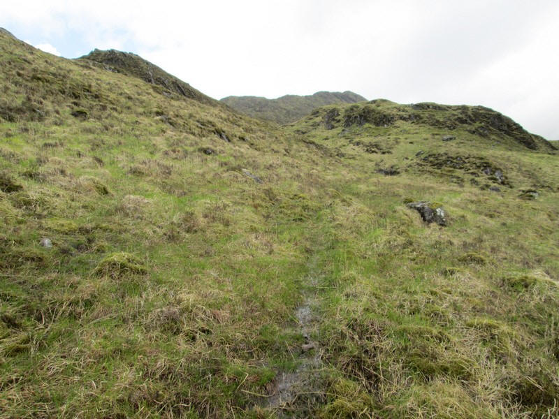
.....which can be seen ahead. At this stage I was feeling optimistic that there was a clear path. That did not last and in reality there are only intermittent sections.
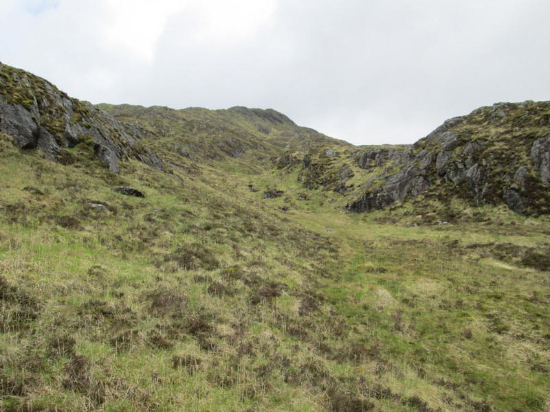
Heading into a bowl (or is it a small corrie)..
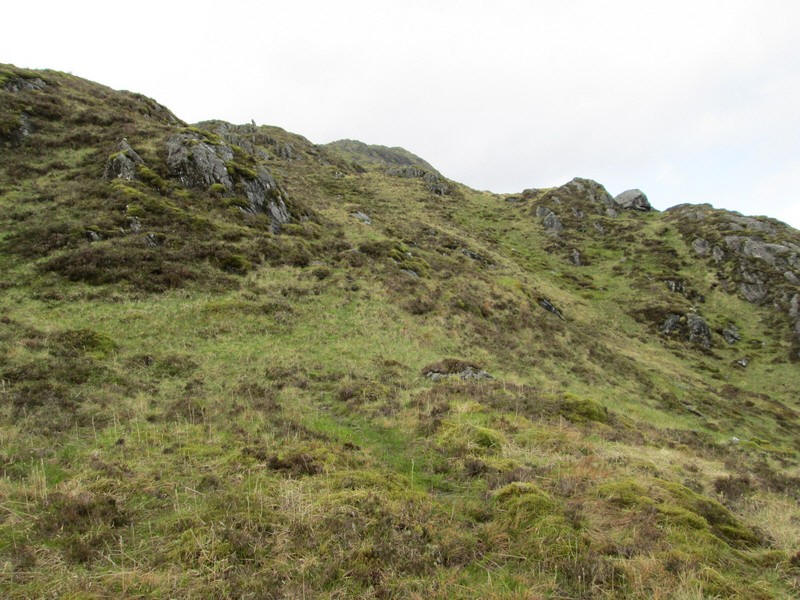
.....I climb uphill....
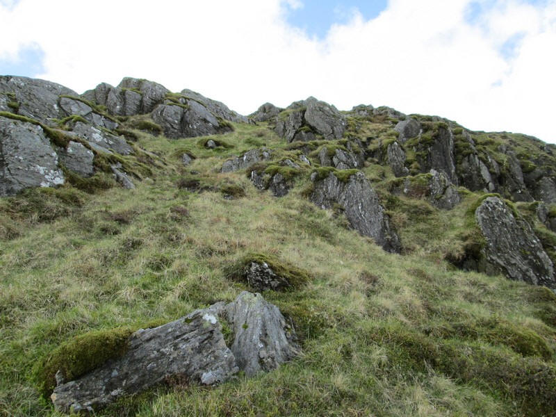
....to reach rock outcrops.
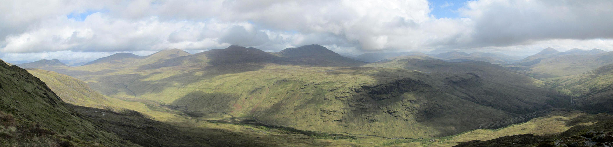
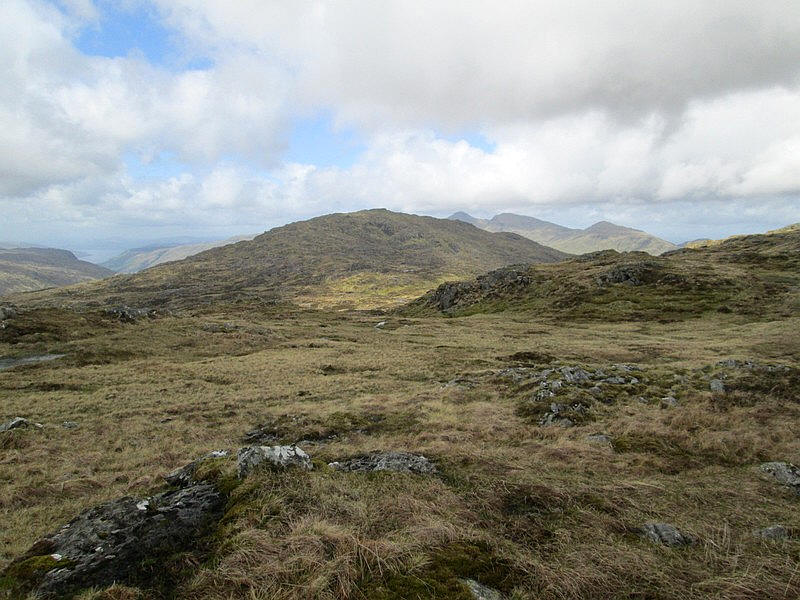
Over to the north there is a marvellous panorama stretching from the four Munros near Ben Lui (in the centre) across to Glen Falloch and Ben More.
Click on the photo to open a larger image and then click on the photo to see the full sized scrollable image.
The glen in the foreground is Gleann nan Caorann. I had in mind to return down this glen but in the end decided against that.
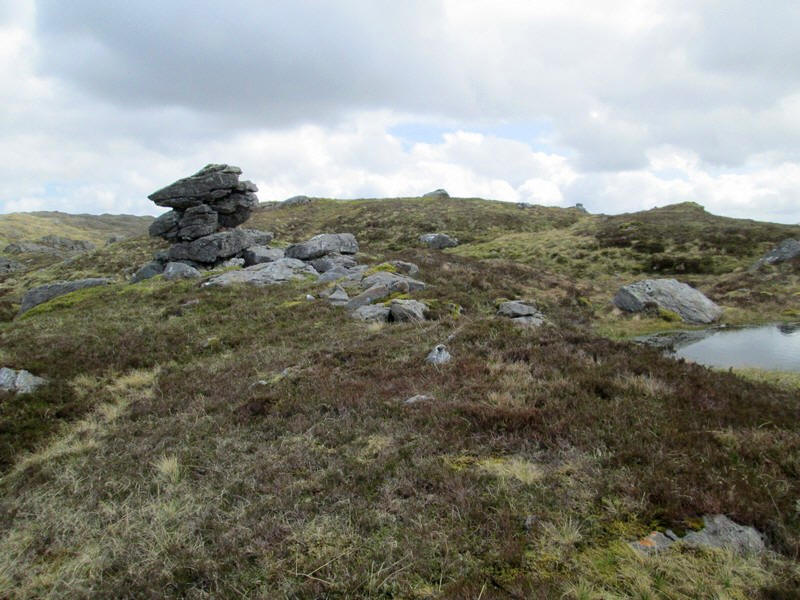
Eventually I reached the summit of Troisgeach (735m)
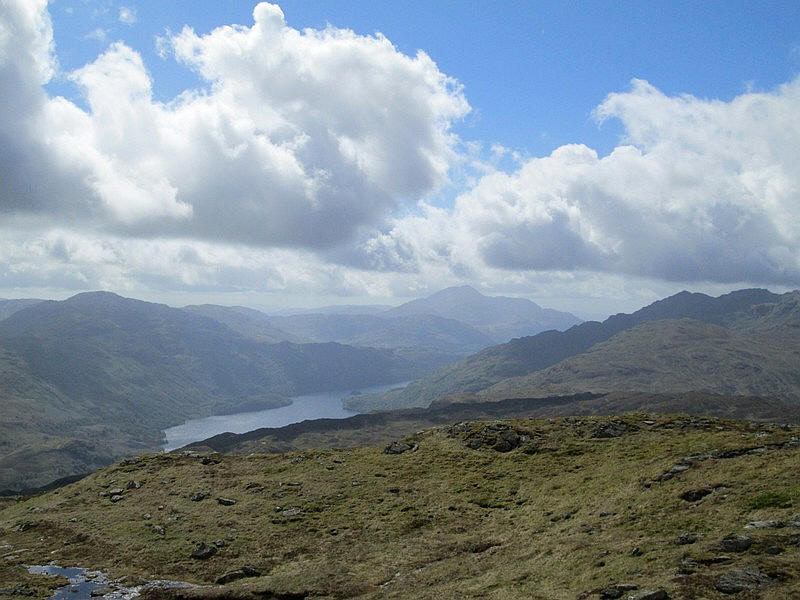
Looking south towards Loch Lomond with the summit of Ben Lomond now clear of cloud.
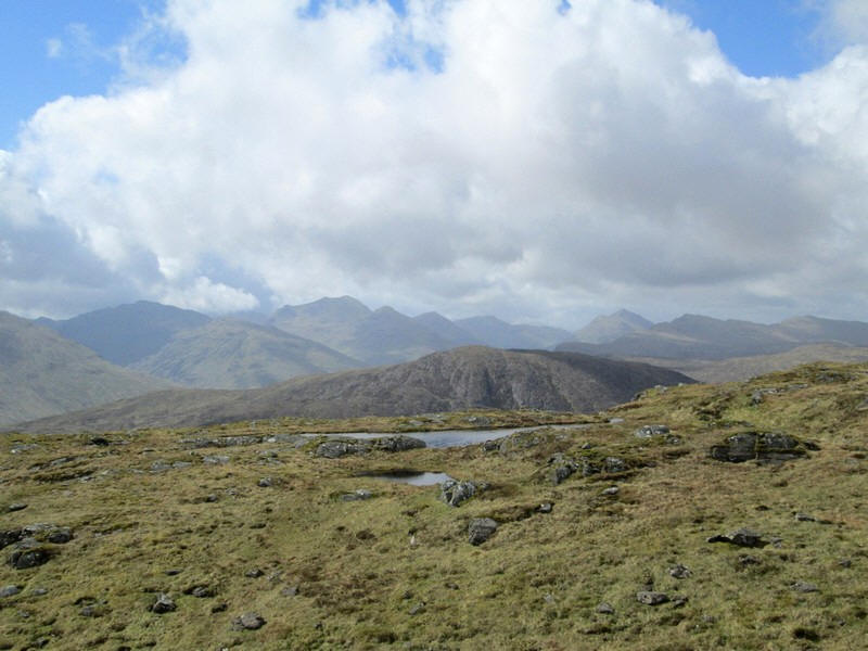
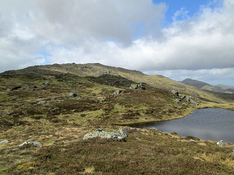
This hill is dotted with small lochans. The "low" hill beyond the water is Beinn Damhain (684m) whilst to the left is Ben Vane and Beinn Ime
I had been slightly concerned that I was taking a little longer than expected as I had a bus back to Glasgow at 15:57 and the next one wasn't until 19:53.
However the summit of Meal an Fhudair was in sight so I set my GPS to walk towards the bealach at 653m between the two summits.
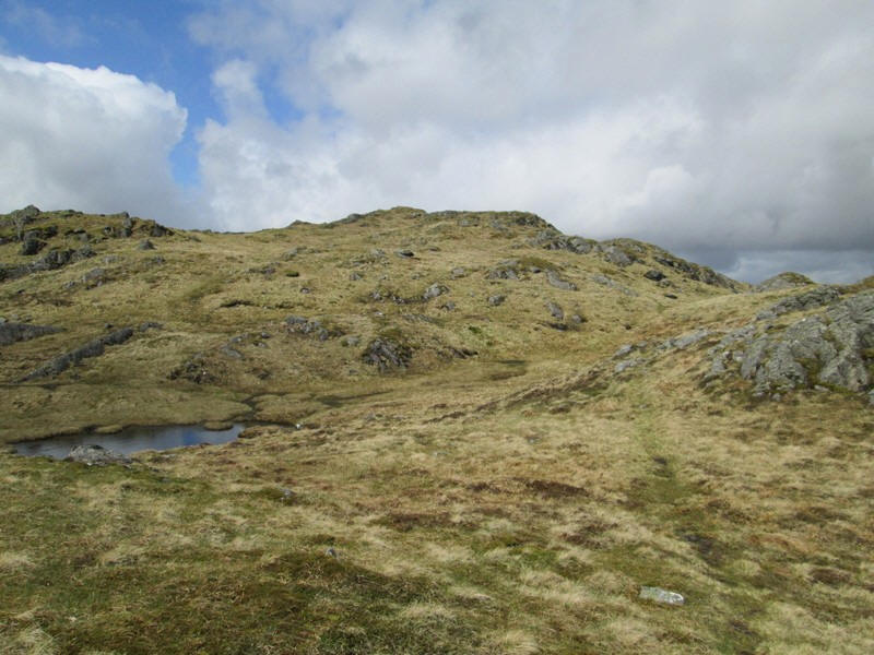
The ground wasn't as wet as I had expected so it was relatively easy to pick up a good pace...
...and soon reach the lochan at the low point on the ridge.
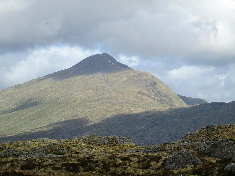
Over to the north Ben Lui looks particularly impressive in this zoomed image.
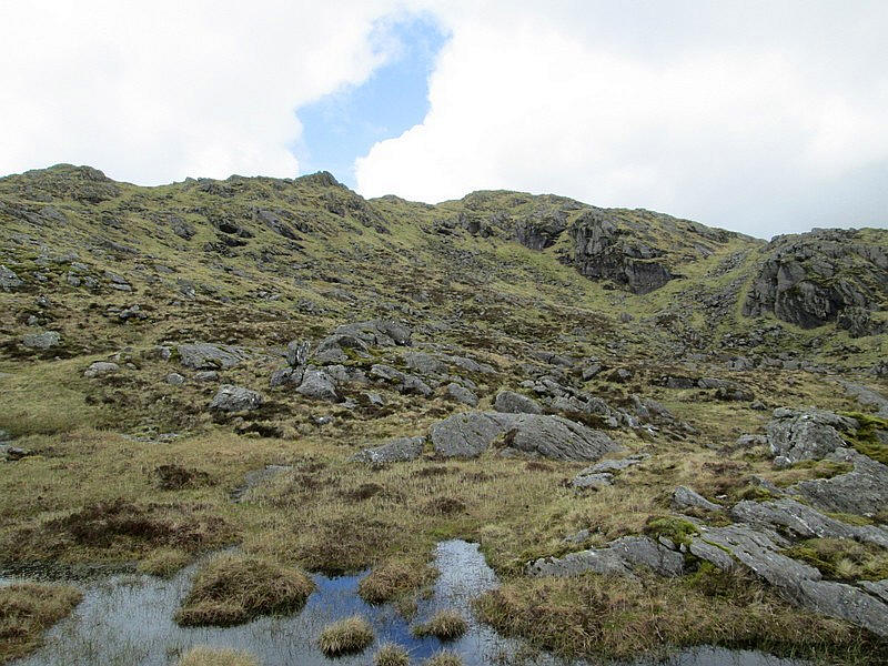
The final climb to the summit is through a jumble of rocks and pools
...but there is a track to follow again.
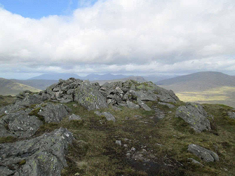
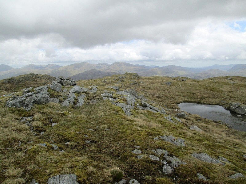
The summit of Meal an Fhudair (764m) has a cairn and a low shelter. It had taken just over 3 hours from Inverarnan about 30 minutes longer than expected. It was my first major hill walk of 2022 so perhaps that should be no surprise!
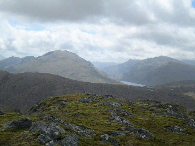
The views were excellent - looking south to Ben Vorlich,
the Loch Sloy HEP reservoir and Ben Vane
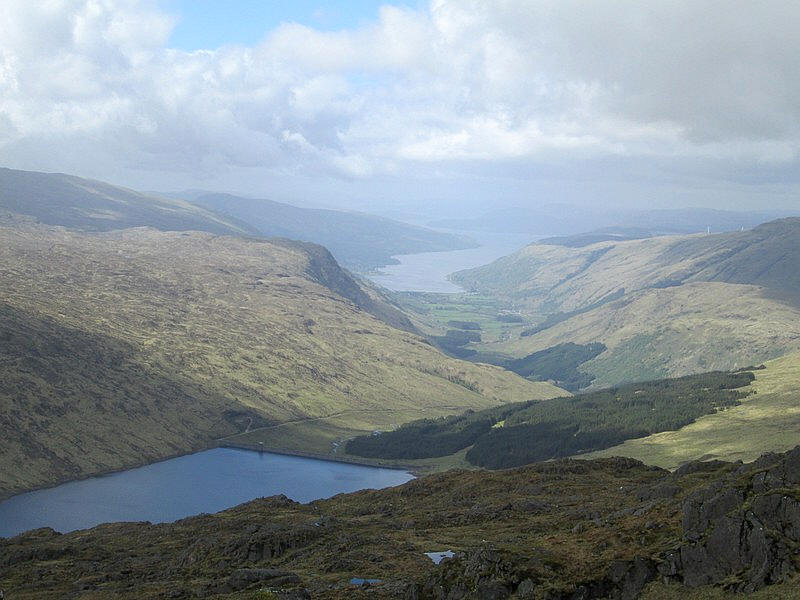
Looking south west down to Loch Fyne with the reservoir at an Lairig in the foreground.

To the west the high point is Beinn Bhuidhe
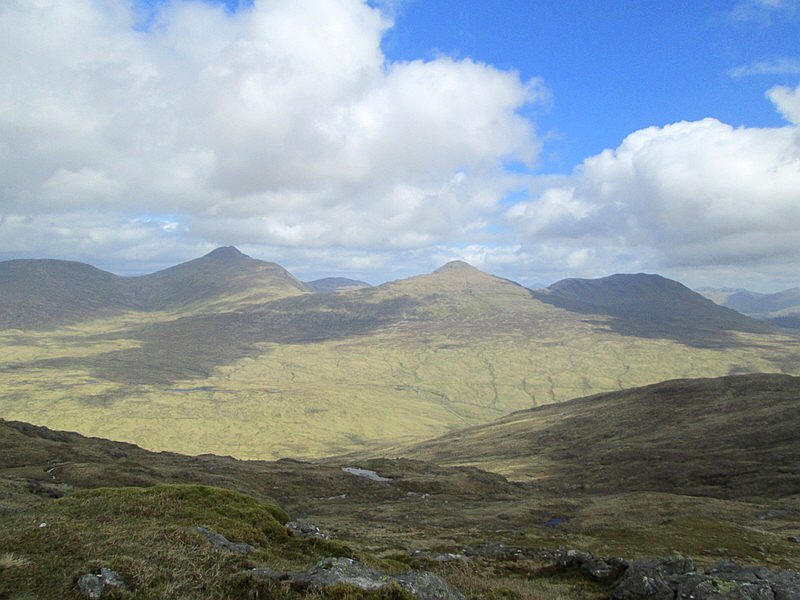
Looking north west with under the cloud is Ben Cruachan, and to the right of the gap in the centre Beinn a'Chochuill and Beinn Eunaich.
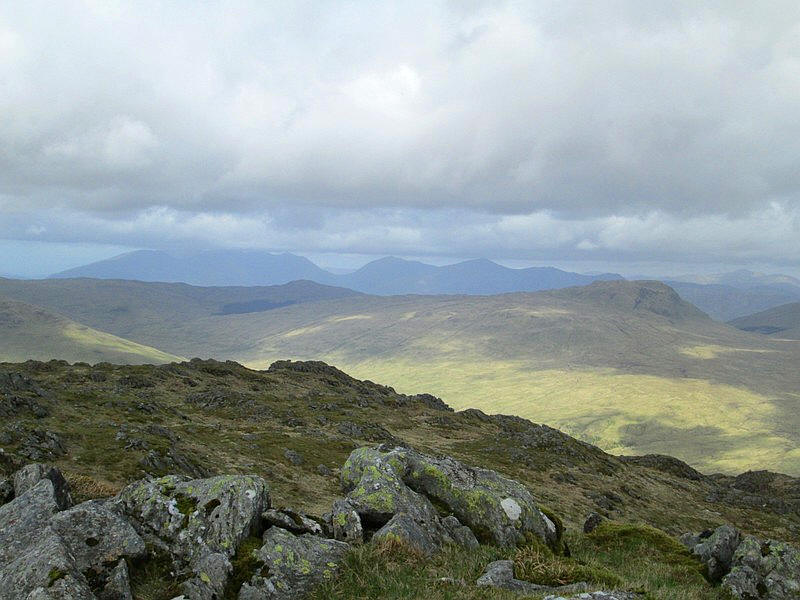
Looking north to Beinn a'Chlibh, Ben Lui, Ben Oss and Ben Dubhcraig.
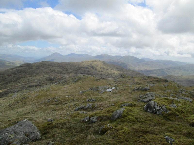
Looking east down the ridge to Troisgeach with Ben More, Stob Binnein, Cruach Ardrain and An Caisteal in the distance.
An interesting erratic left by the glaciers.
On the return walk I went over the summit of Troisgeach.
I arrived back at the Drovers' for three o'clock showing that it is often not a lot faster coming downhill than going uphill.