The way points on this map are taken from my GPS Spot tracker. You can make the map bigger or alter its appearance by clicking on the controls.
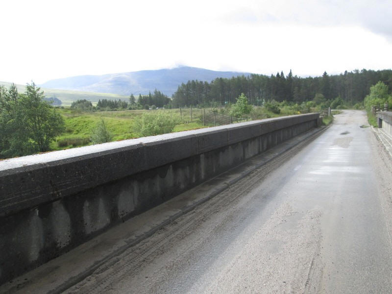
For my first Scottish walk of 2019 I decided to tackle Beinn a' Chlachair from Moy on the Spean Bridge to Newtonmore road. I've already climbed the other two Munros that are normally done as a round of the three with Beinn a' Chlachair; Creag Pitridh on an occasion when the rivers were in spate and I couldn't cross the fords and Geal Charn on a scorching day in 2018. The walk starts by crossing the bridge over the River Spean....
...before branching off on a vehicle track above the Abhain Ghuilbinn river, seen on the right.
It climbs towards the end of Binnein Shuas before...
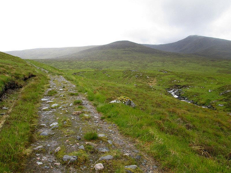
...heading south, where the three Munros are seen ahead. Creag Pitridh and Geal Charn are on the left and Beinn a' Chlachair is on the right.
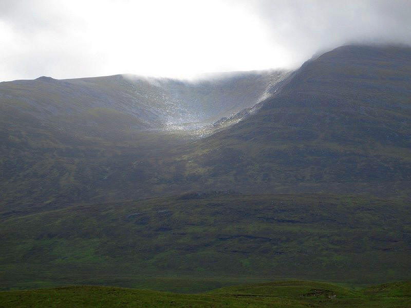
A shaft of sunshine briefly illuminates Coire Mor a' Chlachair, but the summit is in cloud so I'm not hopeful of views
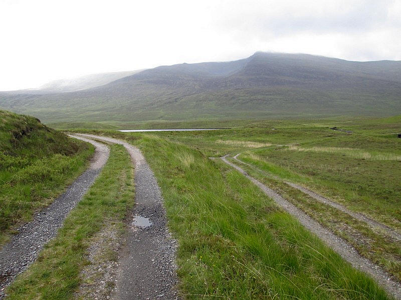
Just before a reservoir a track goes off to the south leading to Lubvan and is a route I intend to use in the future to climb the hills that lie beyond Beinn a' Chlachair,
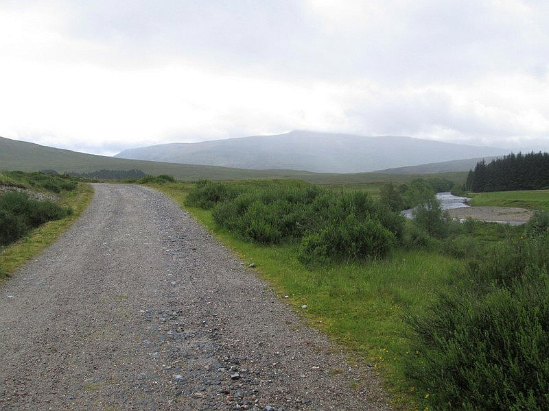
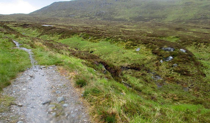
Lochan na h-Erba is passed with its sandy beaches, although on this June day it's cold, wet and windy.
A path across the grass provides a short cut to....
...reach the rough track that follows the Allt Coire Pitridh.
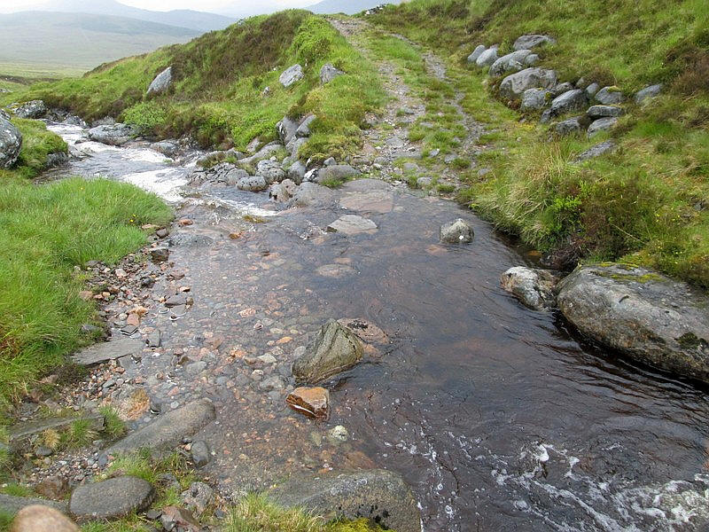
The ford was easy to cross in the morning but, by my return in the afternoon, it was considerably deeper and faster flowing and meant I had to walk further uphill to avoid getting very wet feet.
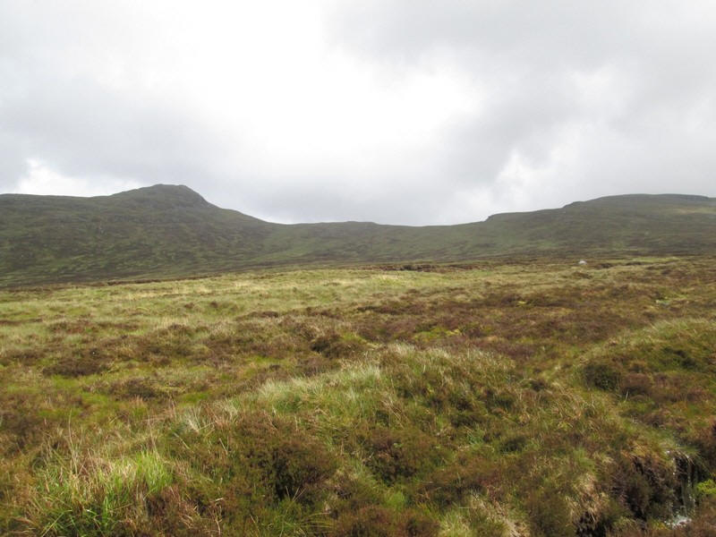
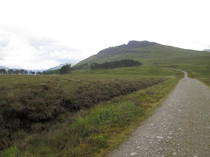
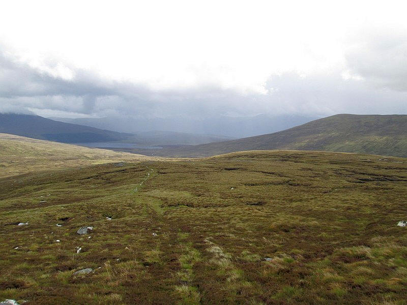
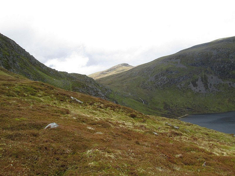
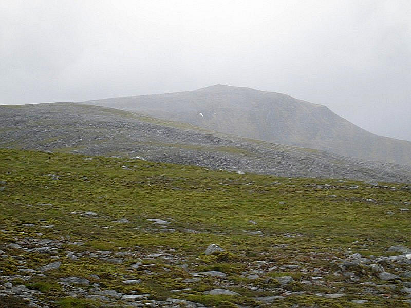
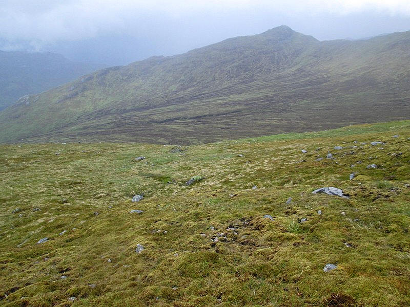
Viewed across the moor are Creag Pitridh and Geal Charn

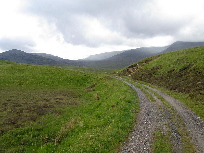
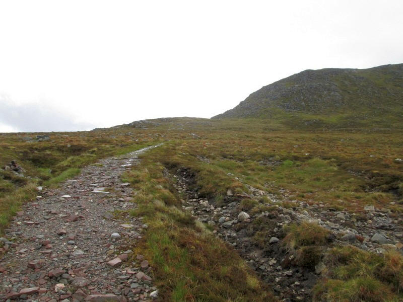
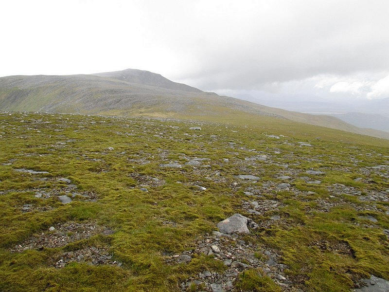
The track heads gently uphill towards Bealach Leamhain.
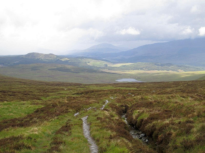
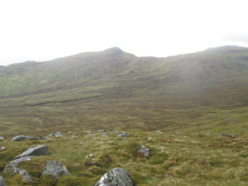
Looking back down towards Glen Spean.
I've decided on a different route to climb this hill compared to the way most walkers tackle it. Rather than climbing across the moorland from near the ford or going straight up the north east ridge from the bealach I'm going to go over the bealach and drop down the other side until I take a stalkers' path that climbs up the south east ridge of Beinn a' Chlachair.
After a break for some food at the bealach in the rain it was....
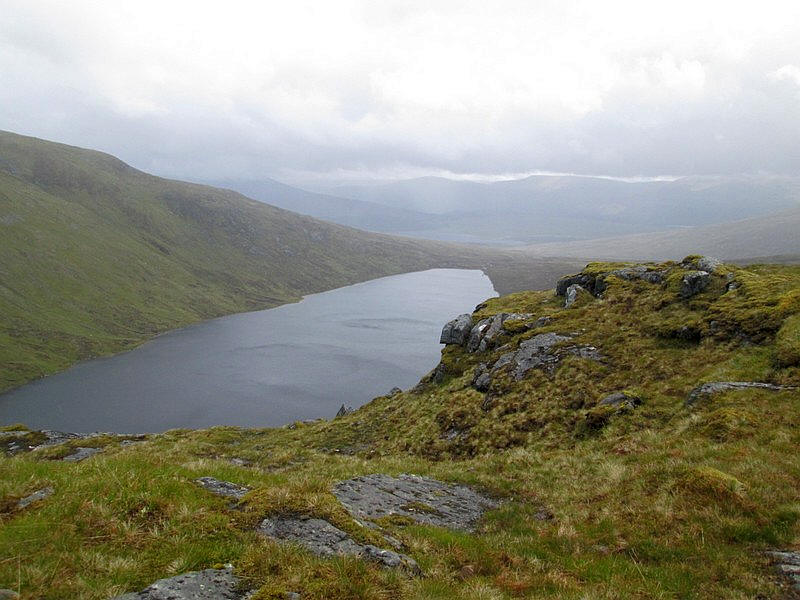
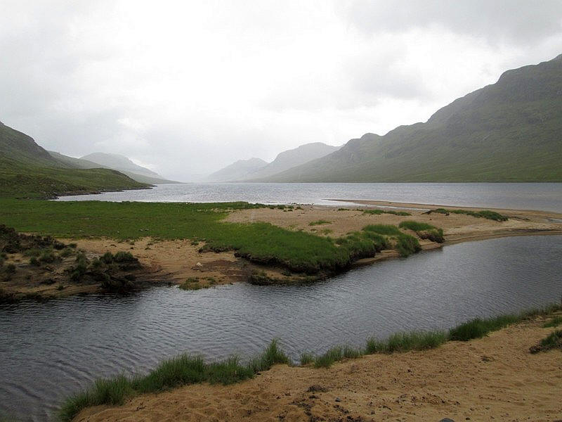
...off downhill with this superb view of Loch a' Bhealich.
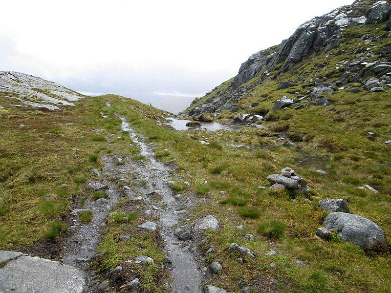
For the first few hundred yards the path is quite rough as it drops down....
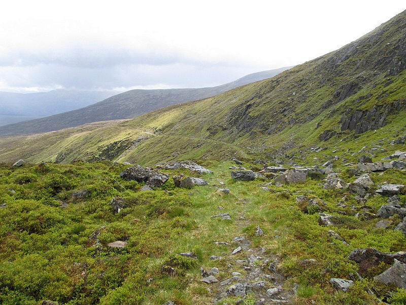
....but then there is abroad almost level section along the hillside.

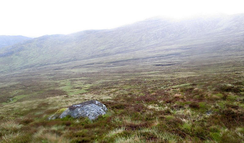
Looking back to the bealach.
At about 497792 a very faint track joins the main path.
The map and aerial view show the existence of a clear path that climbs almost to the top of Beinn a' Chlachair's eastern ridge.
The map and aerial photo below it are taken from:
https://osmaps.ordnancesurvey.co.uk

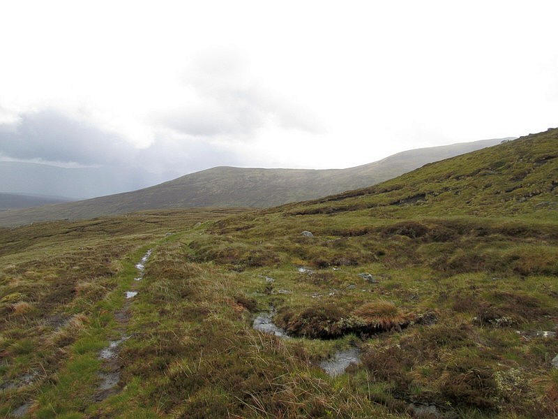
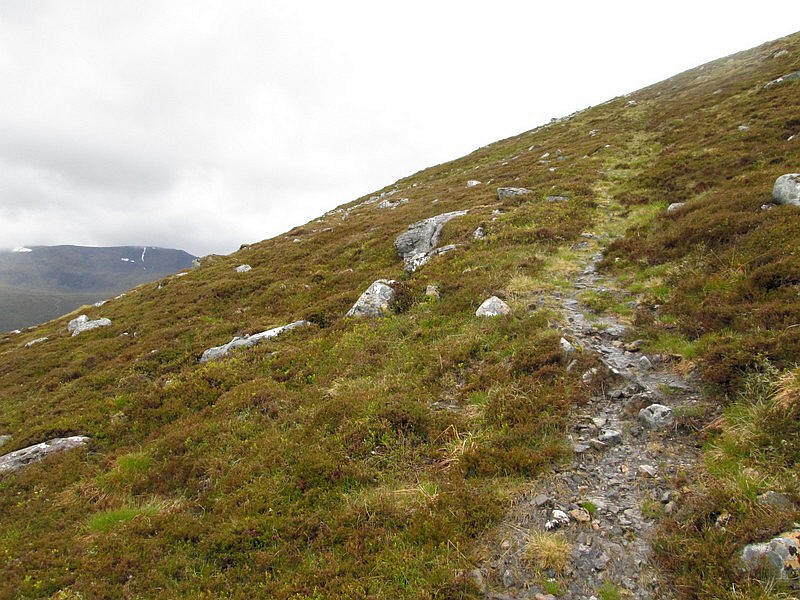
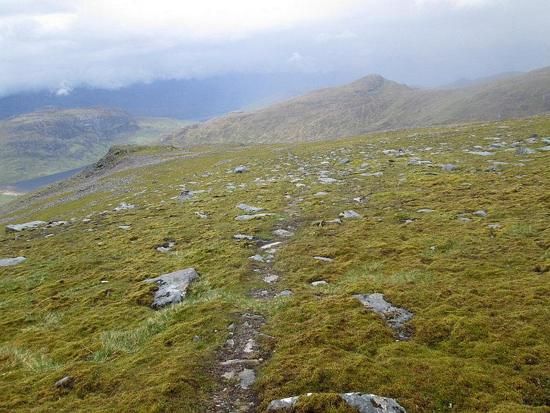
The path climbs gently uphill initially although it's a little faint.....
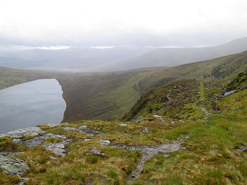
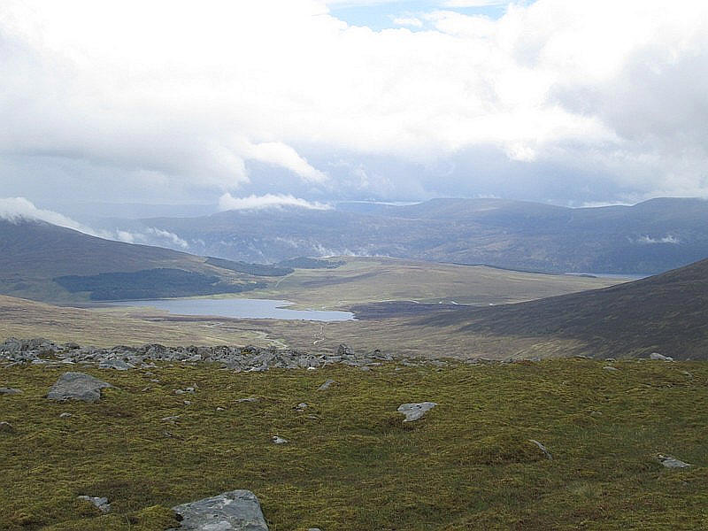
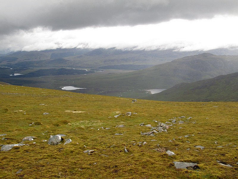
Looking back downhill with Loch Pattack in the distance.

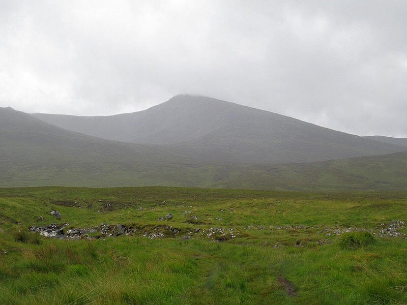
To the south is the Munro Carn Dearg and over to the right (another!) Geal Charn.
Click on the image to see the full size photo.
Peeping over the bealach is Creag Pitridh.
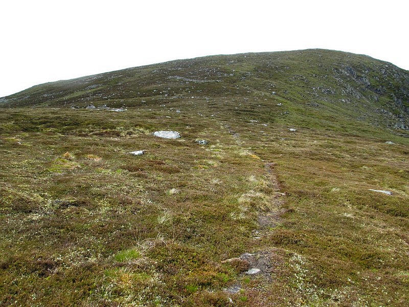
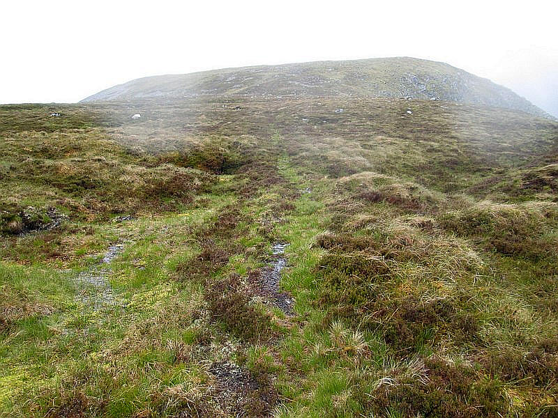
Further uphill the path becomes better defined...
...and then swings to the south west as it zig zags uphill
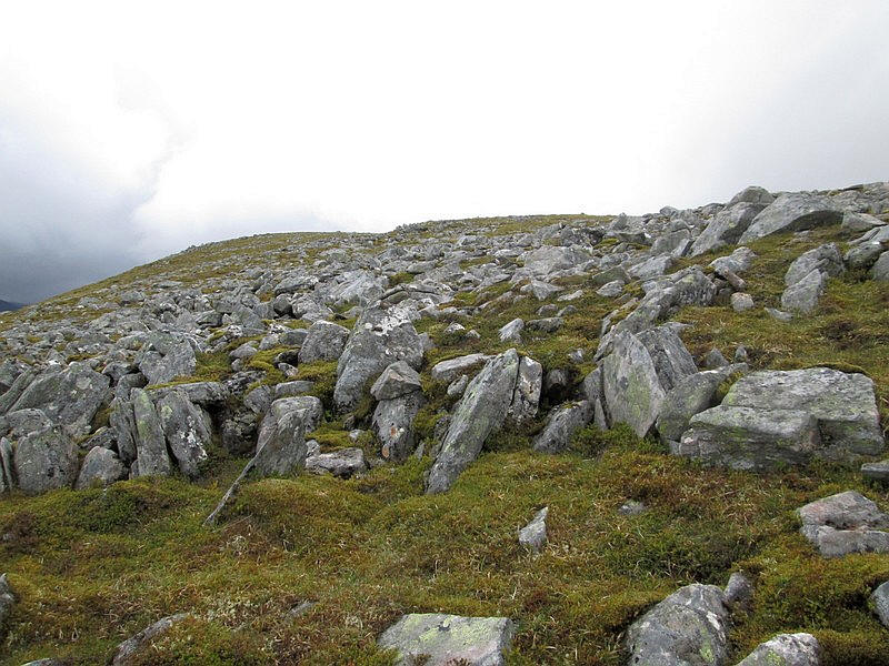
The path ends at about NN491793 where the ground becomes stonier just below the main ridge.
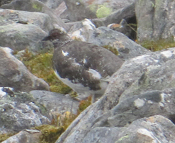
A little entertainment was provided by some birds - ptarmigan? - which were well camouflaged among the rocks.
Looking back downhill, Loch Pattack is to the left while, just visible on the right, is Loch Ericht.
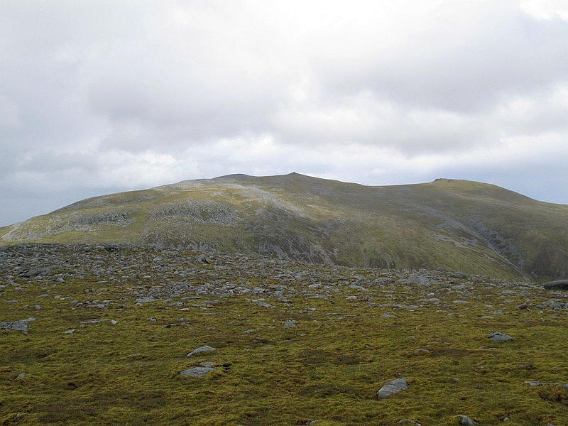
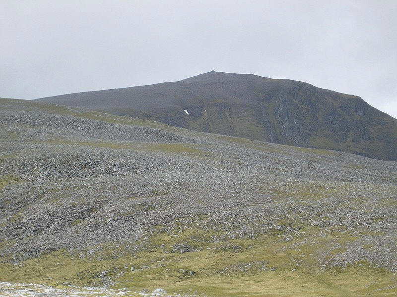
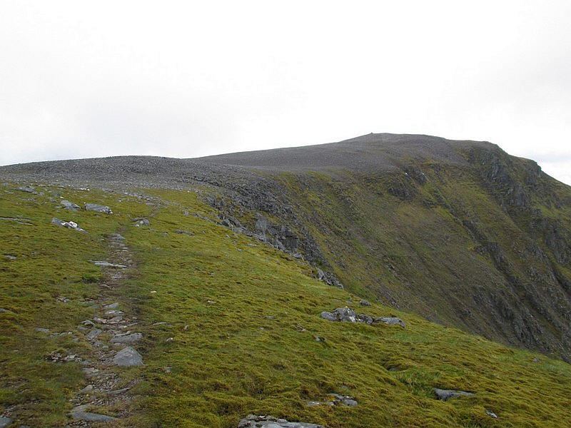
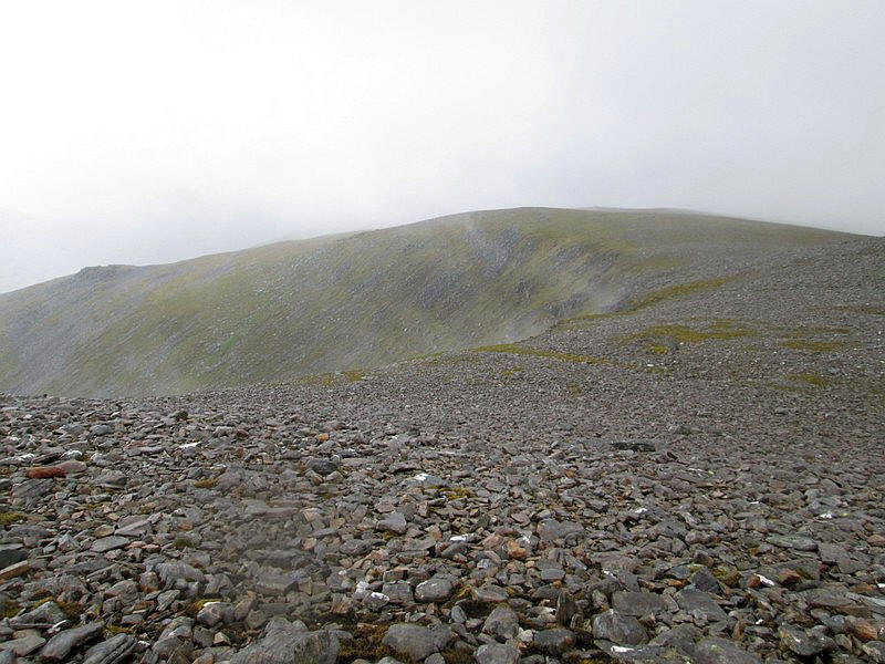
On the main ridge the summit of Beinn a' Chlachair can be seen about 2km away.
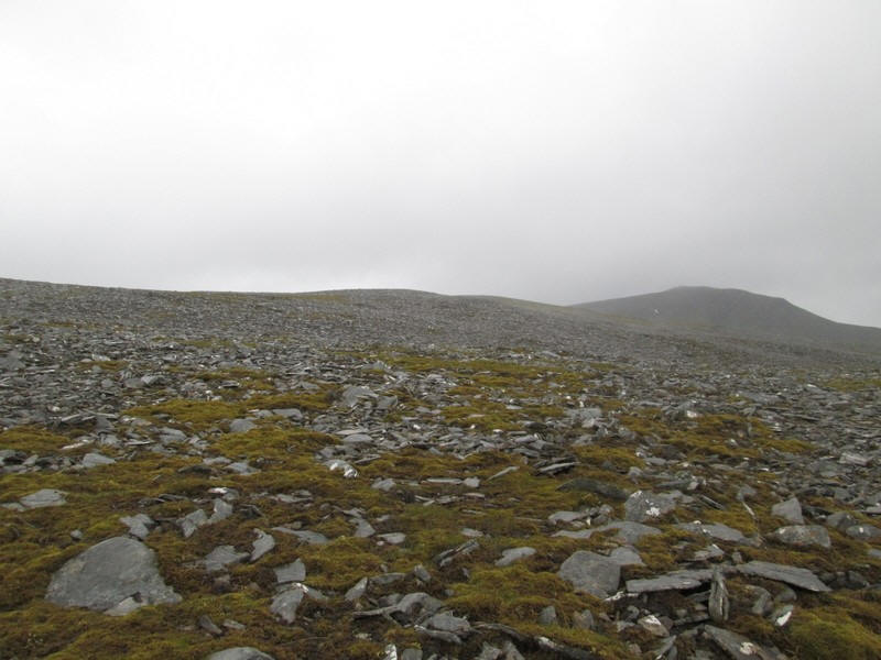
Walking is generally very easy on a mixture of turf and small stones as I climb to the 977m top at the north east end of the ridge ,
The summit cairn can be seen with the cliffs of Coire Mor a' Chlachair.
The way forward drops down slightly to a col...
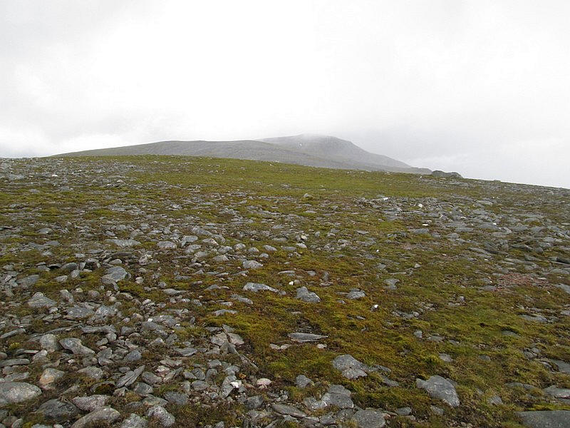
...before beginning the climb up to the 1000m contour over more stones.
Looking down north towards Glen Spean
It's a case of picking the easiest way across the shattered stones...
...until a track appears at about NN477784. I'd later use this on my way downhill.
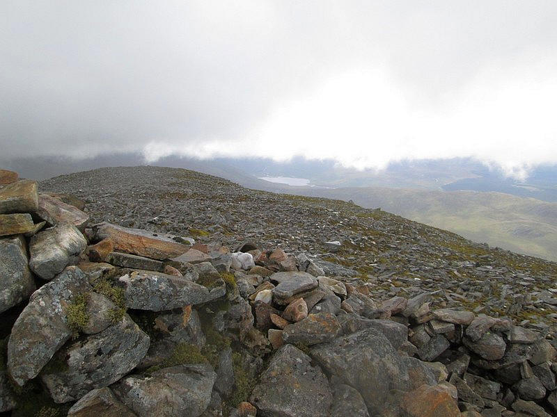
With the summit in sight above the cliffs of Coire Mor a' Chlachair my 189th Munro is almost climbed!
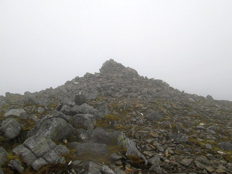
The cairn of Beinn a' Chlachair at 1087m. It had taken me about four and a half hours to reach the summit including a lunch break, against my prediction of four hours and ten minutes walking time.
The summit was just below the level of the clouds so at least I had some views. This is looking south west with Loch Ghuilbinn about 7km away.
I decided that I would return by dropping down the northern ridge (usually used as the ascent route) to join the outward path near to the ford. This meant following the path around the head of the corrie....
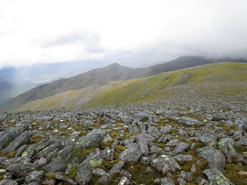
....with views of Loch Laggan and the pointed summit of Creag Pitridh.
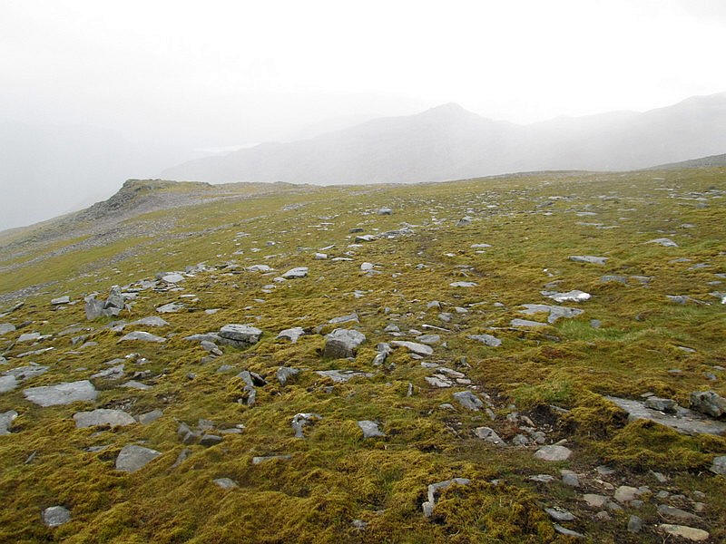
The hill walkers' path drops down the ridge but eventually disappeared so....
....I simply set my GPS for a point on the path near the ford and walked downhill in that direction.
I'd expected the ground to be really boggy given the amount of rain that had fallen but...
....even lower down where there are some peat hags it wasn't a problem. (note the moisture on the camera has blurred part of this image)
To my delight I arrived at exactly the point I wanted to by the Allt Coire Pitridh......
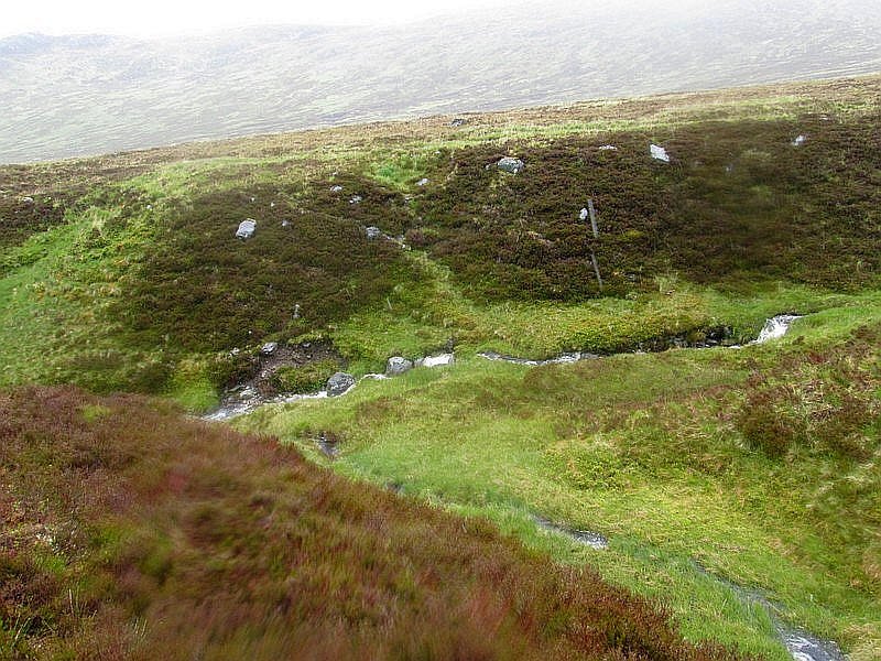
...where a path leaves the track to the bealach and drops down to cross the stream.
All that was left now was to return to Moy where arrived eight hours after starting.