Beinn a'Bhuird
Click on the square in the top left hand corner to see a larger map.
For the final day's walk in the Braemar area in August 2017 I decided to climb Beinn a'Bhuird from the Linn of Quoich
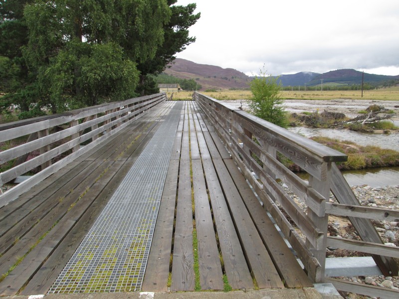
I started at just before nine o'clock but, before doing so, I decided to have a look at the bridge over the Quoich Water which has been partly destroyed in the floods a few years ago. As can be seen the far end has been swept away.
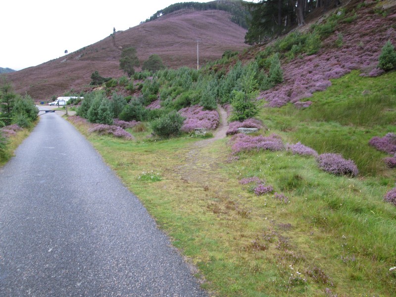
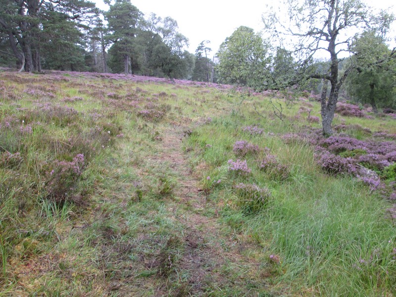
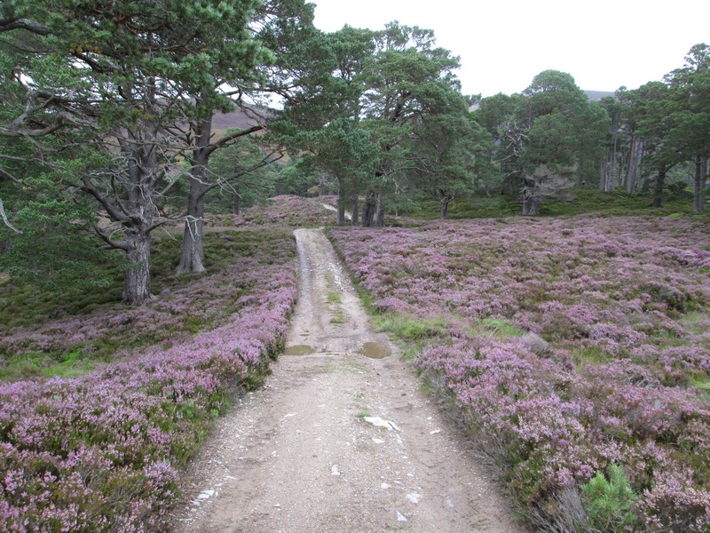
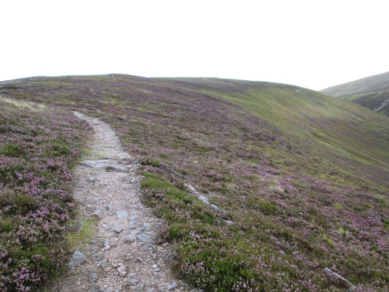
The hill path starts just beyond the gate across the road and climbs up through heather...
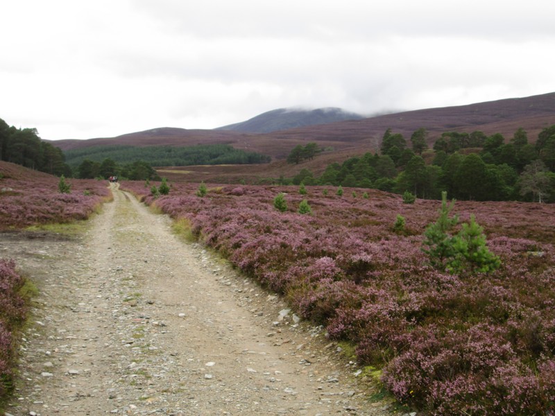
...to join an estate track which will be followed for just over three miles.
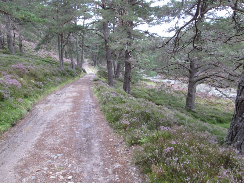
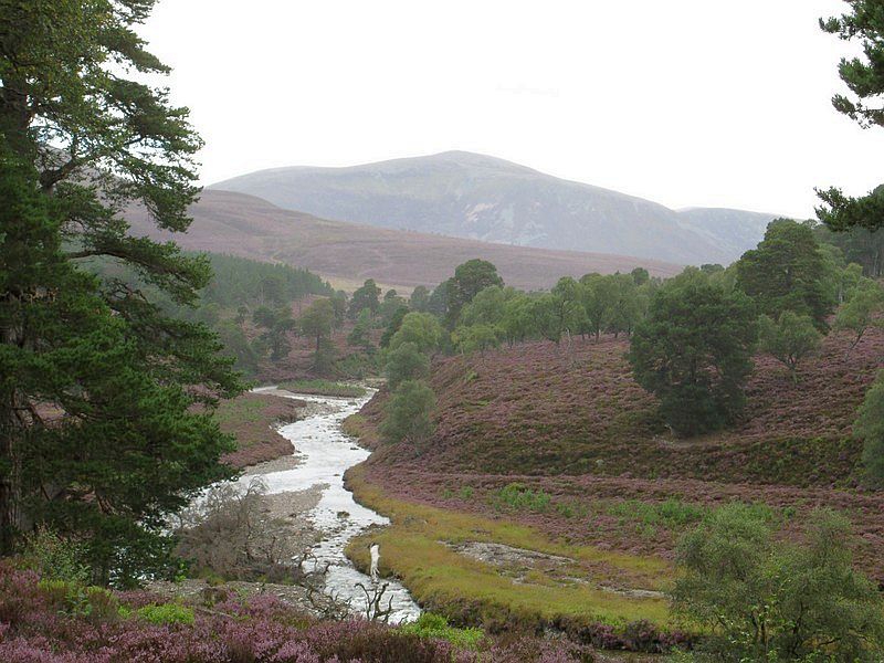
It's a pleasant walk through woodland...
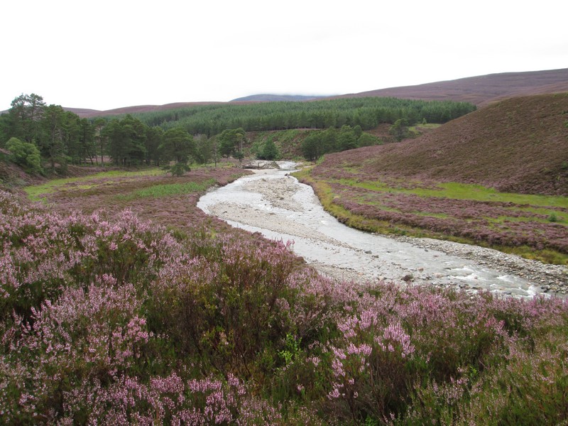
...and alongside or above the Quoich Water.
There is more evidence of the destruction caused by the floods such as in this section which has been recently rebuilt.
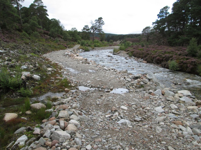
Further along the damage is so severe that the path has had to be diverted for about half a mile up through the trees...
... because the river swept away the road and undercut the river bank. Four wheel drive road vehicles can use new fords built across the river.
Quite a bit of effort has gone into the cutting down of the vegetation to make a good path. I saw several cyclist using the estate road but there was no evidence of bike wheels on the path so I presume they used the fords.
The southern end of Beinn a' Bhuird eventually comes into view and despite the poor forecast appears cloud free.
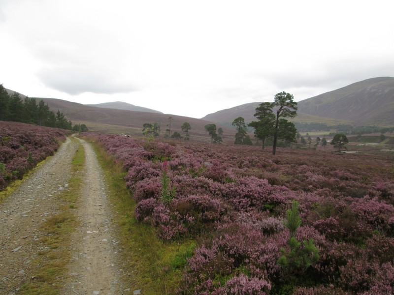
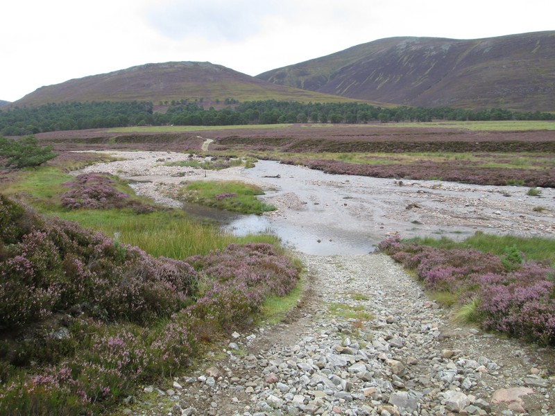
The estate road climbs away from the river before...
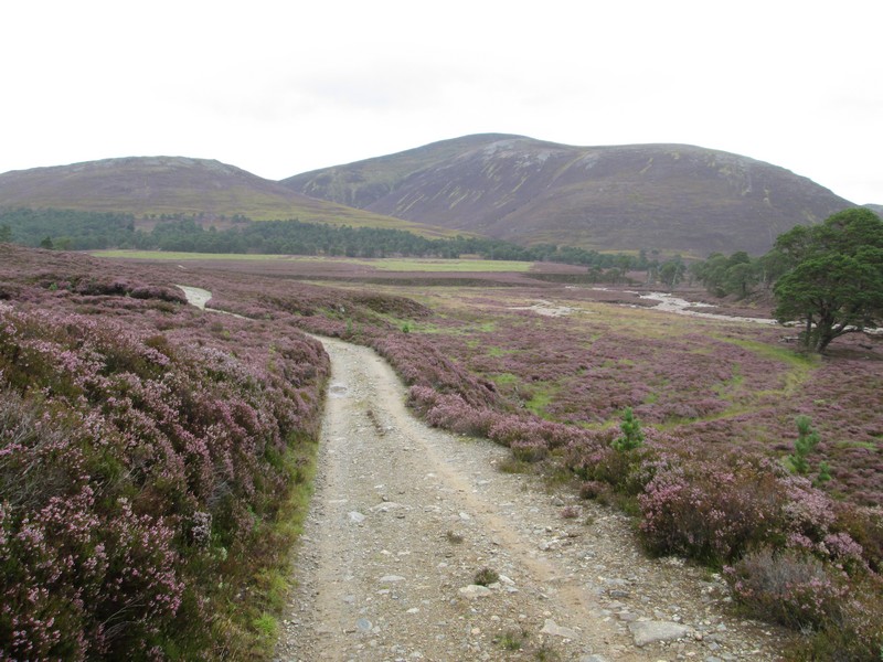
..descending on its way to the ford over the Alltan dubh-ghlinne which according to many reports can vary from trickle, which you can walk across to a raging torrent that prevents access to the hill.
Luckily it wasn't going to be a problem crossing the river but I wasn't going to get across without getting wet either. So it was off with my socks, trousers rolled up and boots back on to paddle across.
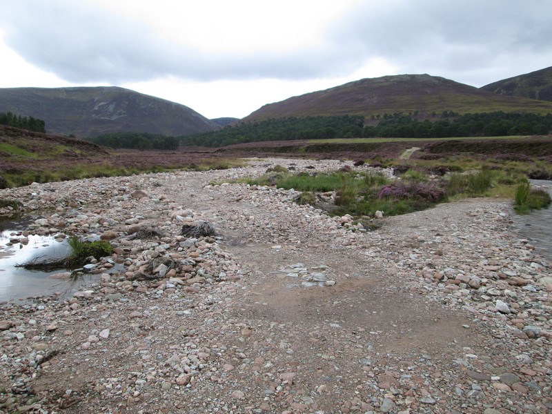
There were actually two sections of water to cross with an enormous shingle bank in the middle. I suspect that this is more evidence of the severity of the flood damage.
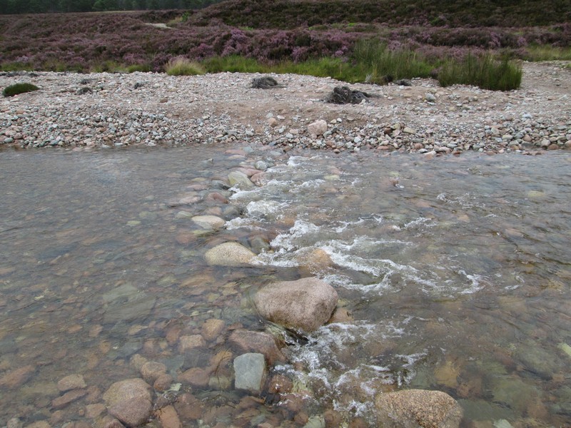
What appears to be stepping stones is actually more like a weir to slow the water down where it crosses the vehicle track. There was no way that I was going to use those round boulders to cross, so it was a paddle across the surprisingly fast flowing current. On the way back the water level was slightly higher as can be expected in the afternoon.
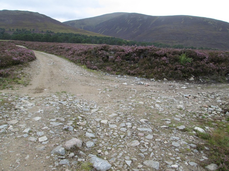
With the boots emptied of water, feet dried and socks back on it was off up the track. The junction off to the right just beyond the ford can be ignored as it doubles back on the other side of the river.
The way to the hill heads uphill...
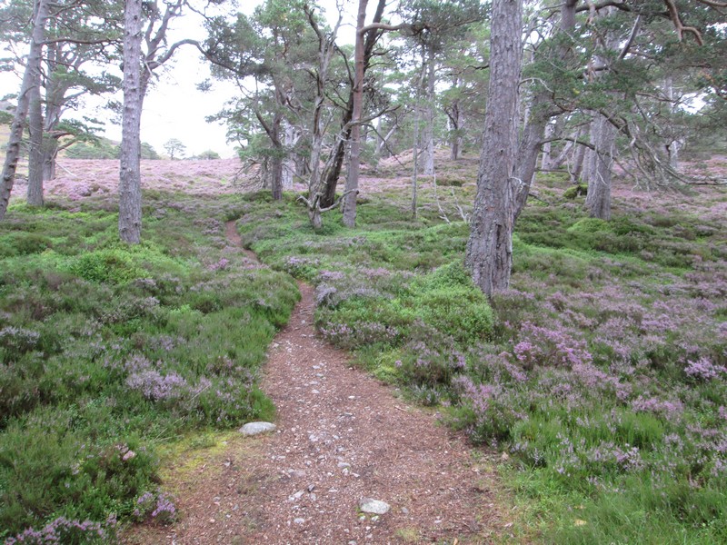
..towards trees where it turns into a path.
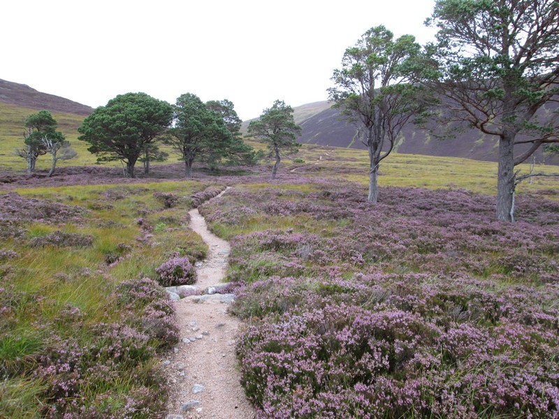
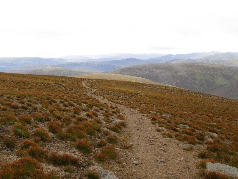
From now on I found the walk remarkably easy as the clear path continues all the way up almost to the summit plateau at well over 1000 metres.
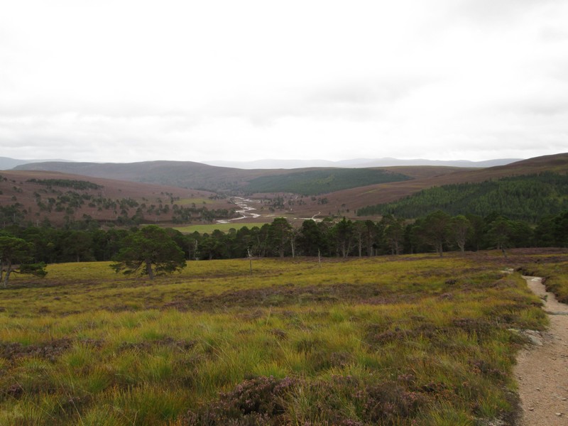
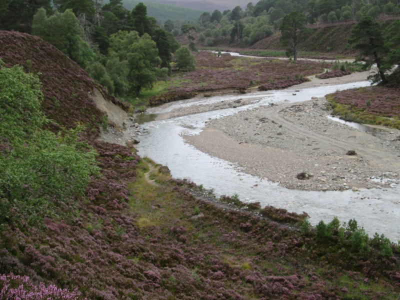
Looking back down into Glen Quoich
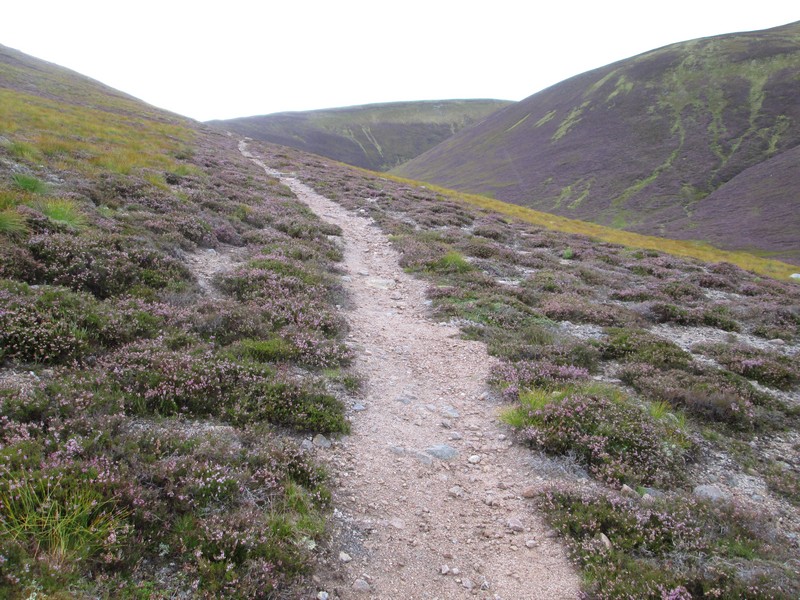
The path climbs gently up the slopes of Carn Allt na Beinne and above the stream of the same name.
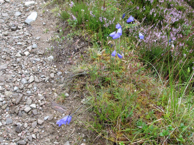
A little bit of flora - bluebells?
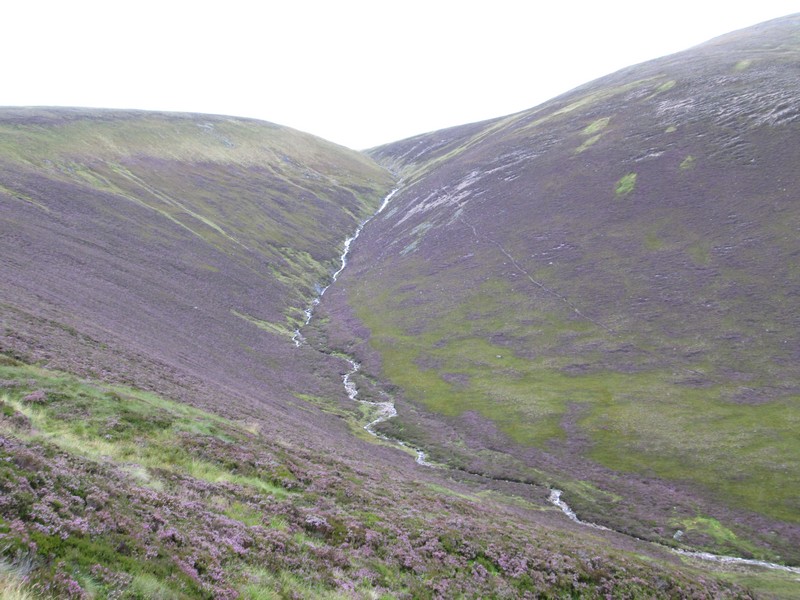
Over to the right the Alltan na Beinne looks to be flowing well after recent heavy rain.
The path reaches the ridge at An Dollaid....

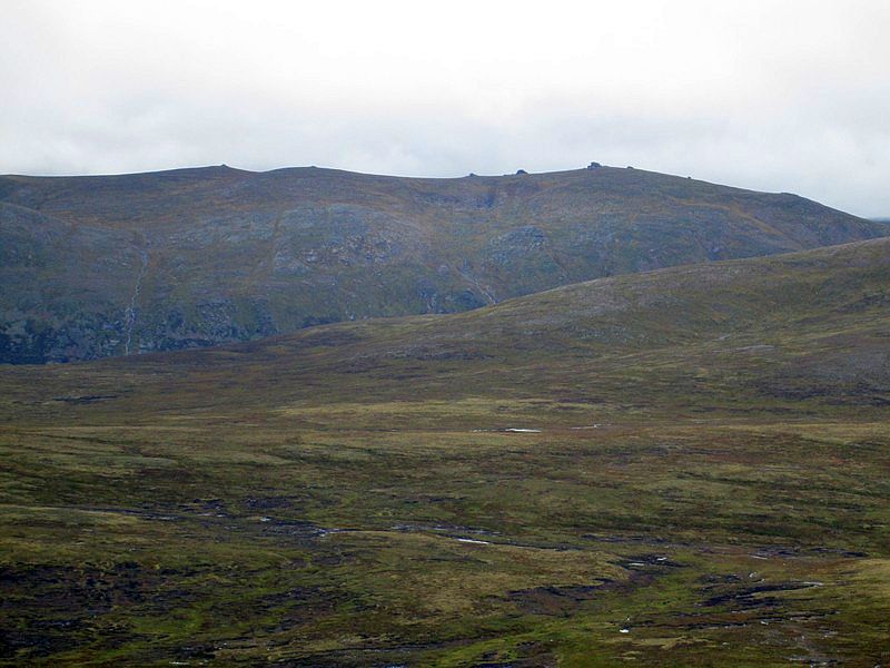
....and immediately there's a view of Beinn Bhreac across to the west.
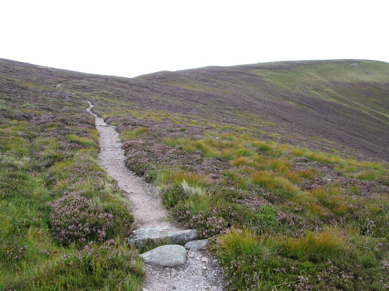
The path is now at 750m and turns slightly to head northwards...
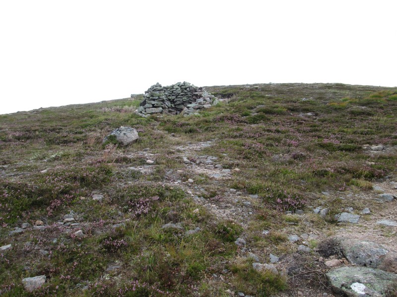
...passing the remnants of a shelter.
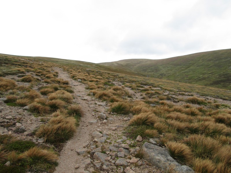
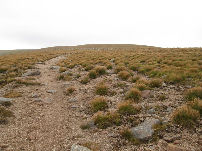
From now on the path is heading up the south west shoulder of Beinn a'Bhuird...
...and gradually winds its way uphill.
At about the 1000m contour the path turns to head east ...
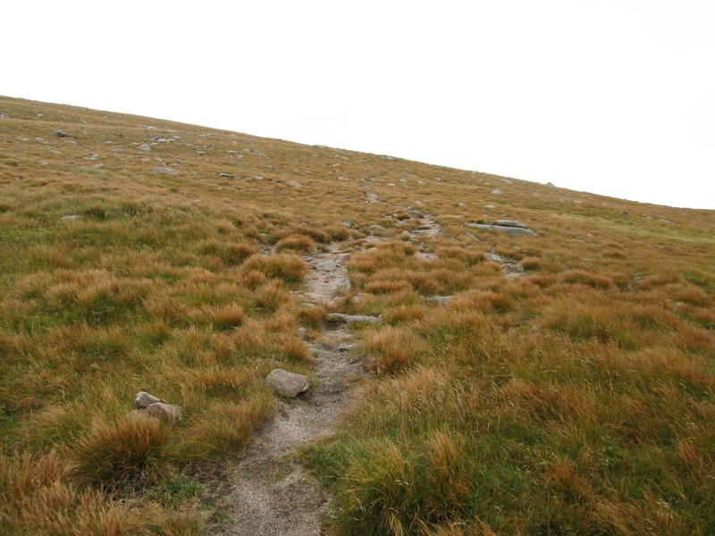
...and becomes less distinct. Given that the weather had become slightly more threatening with wind and low cloud starting to swirl around I took the precaution of marking the position on my GPS in case the mist came down.
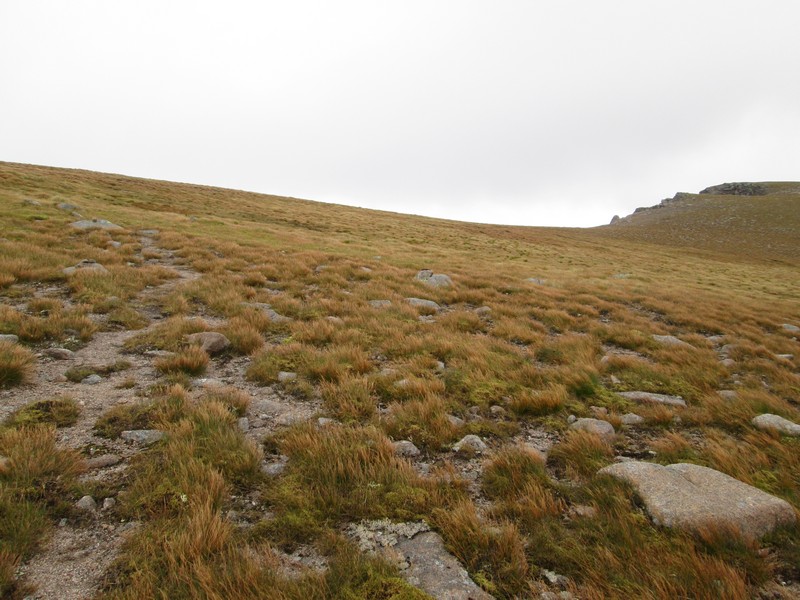
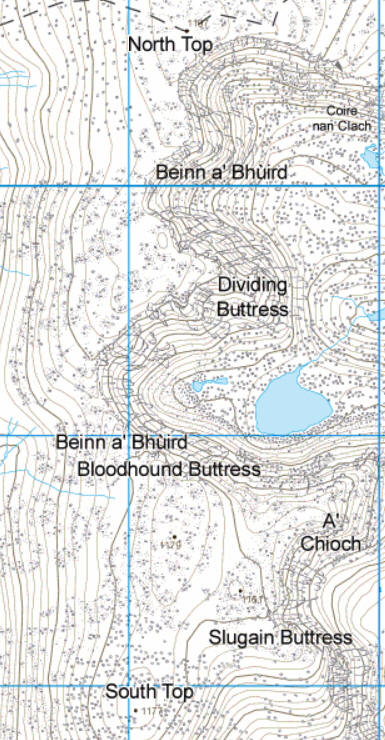
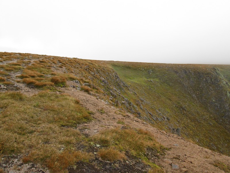
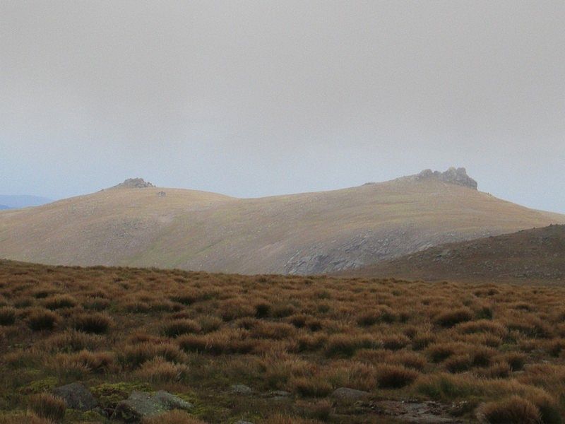
Suddenly the top of the cliffs of the South Top come into view.
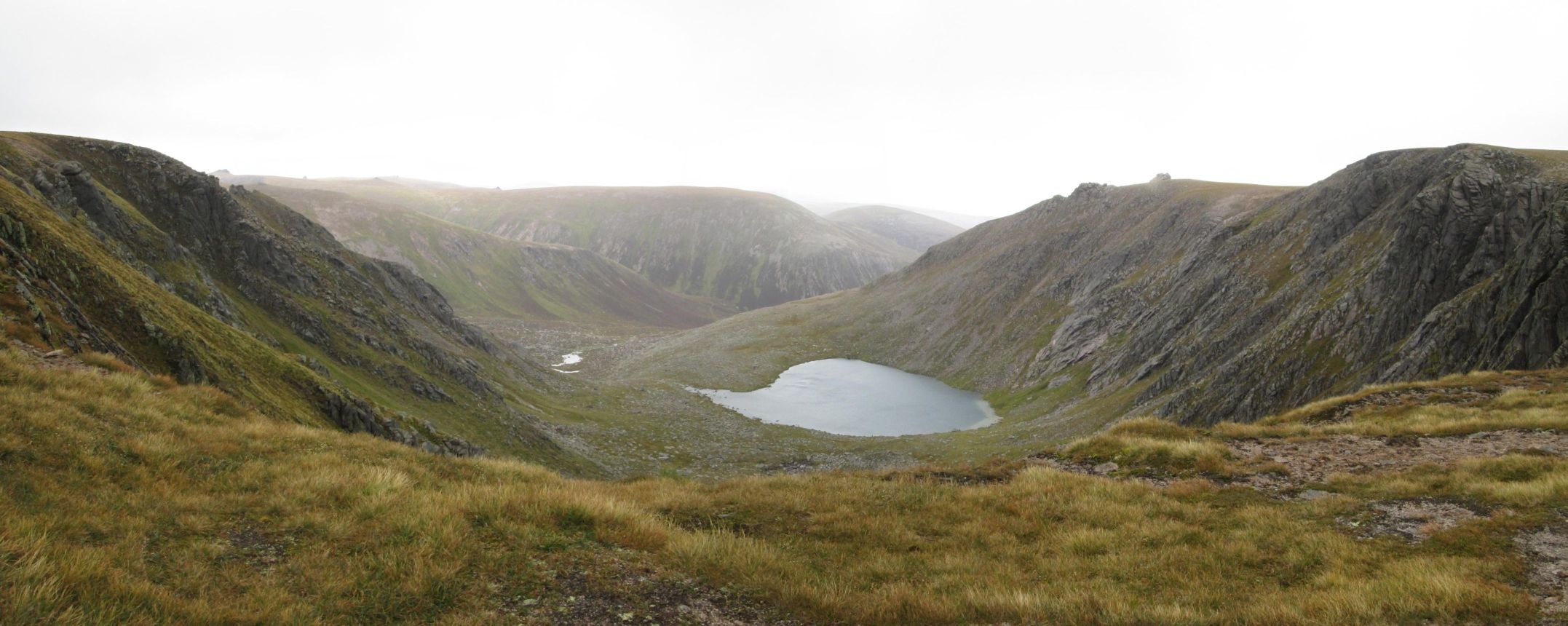
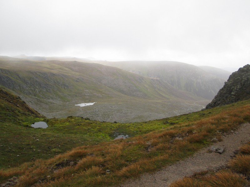
This panorama of Coire an Dubh-Locain has been stitched together from four photographs. There are two lochans in view with a third hidden below the foreground.
In the distance to the left of the corrie the tors on Ben Avon can be seen whilst over to the right is Beinn a'Bhuird South Top (1179m).
Click on the photo to see a larger image and then click on this to see the photo full size.
The map below shows the complex areas of corries on the east side of Beinn a 'Bhuird.
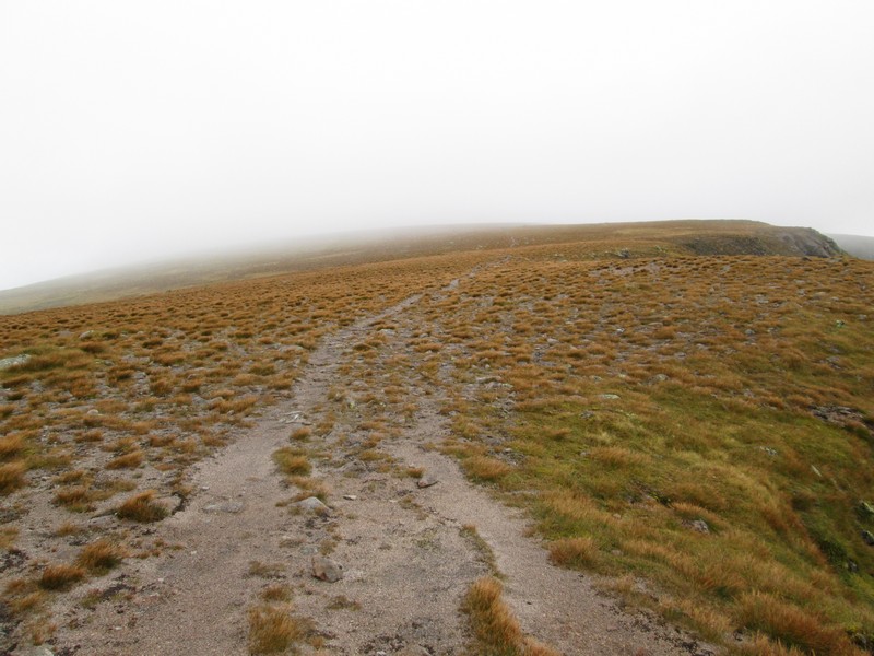
Initially there's a clear path around the corrie ....
...but then it moves away from the edge and crosses this desolate flat area west of the Dividing Buttress before....
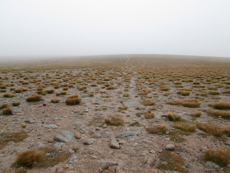
...reaching the edge of the second corrie, Corre nan Clach, which has two small corries within the larger one.
The path hugs the edge of the first of these corries ..
...before moving away from the edge...
...and then approaching the edge of the second corrie with its small lochan far below
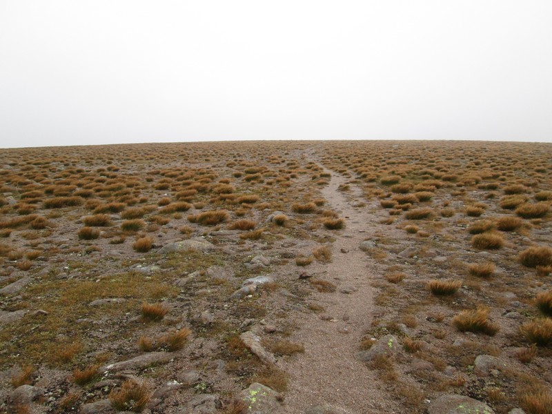
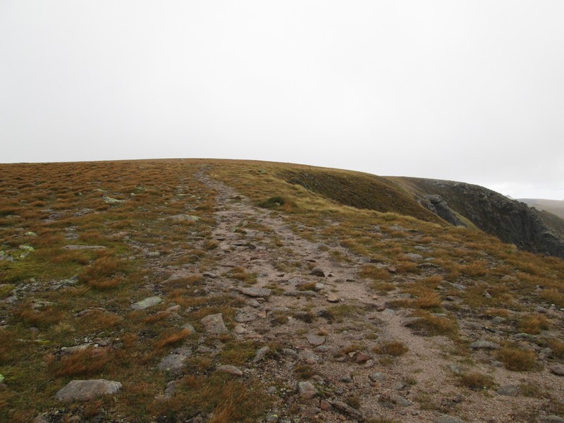
I found the featureless summit plateau of Beinn a'Bhuird slightly intimidating and was glad to have a GPS to pinpoint my position. Notice how there's no sign of the cairn even though I'm walking directly towards it.
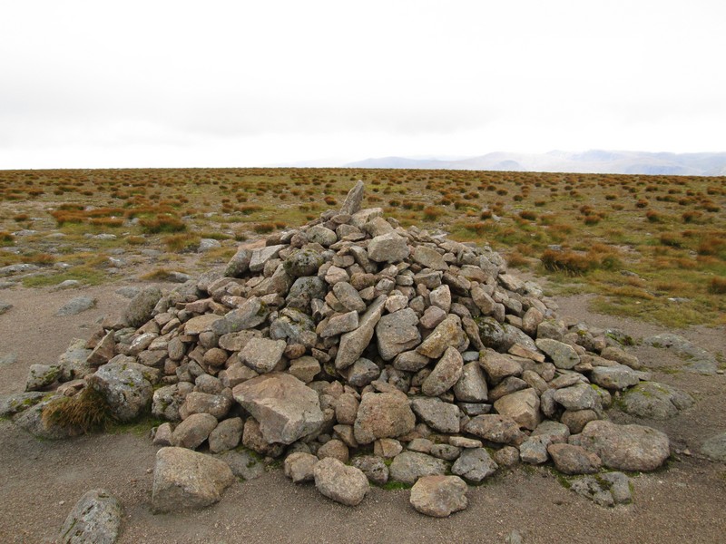
The summit cairn (1197m) was eventually reached. It had taken me slightly under 5 hours from Linn of Quoich, including several breaks crossing the river and for snacks.
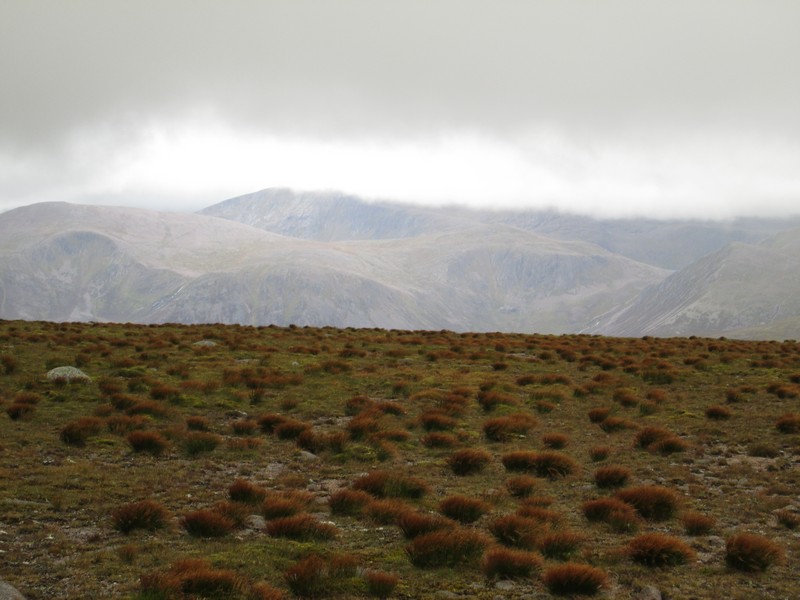
The views from the summit were not of the best but at least I could see across to Derry Cairngorm (on the left of the photo) with Ben Macdui hiding under the clouds in the distance.
A telescopic photoshows Beinn Mheadhoin and the "Barns". Shortly after this photograph was taken the mist rolled in and most of the way back to the beginning of the main downhill path was in much reduced visibility. I would not like to be up here in really bad weather!
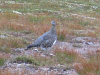
On the way down I saw what I believe was a ptarmigan. Although not obvious in this poor photo the bird had the reddish patch on its head above the eye.
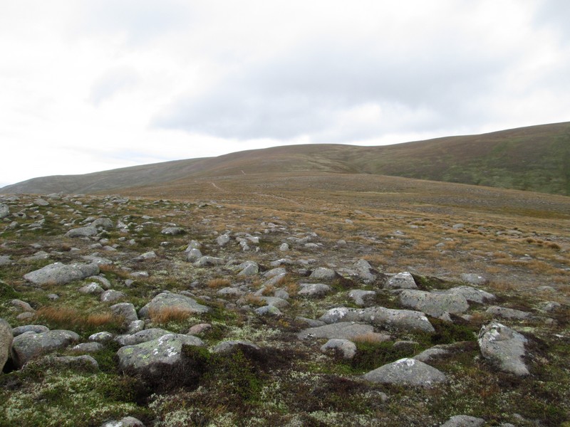
Looking down the long south west shoulder of Beinn a'Bhuird.
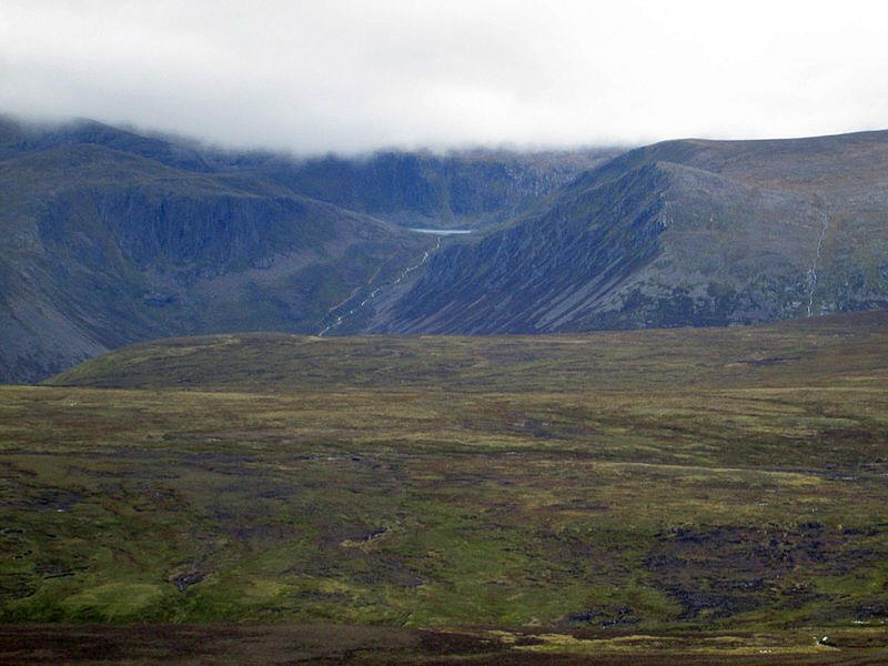
Over to the west the path is high enough to see across to the waters of Lochan Uaine below Derry Cairngorm..
...and the Barns of Beinn Mheadhoin are seen across the peat hags on Beinn a' Charoainn
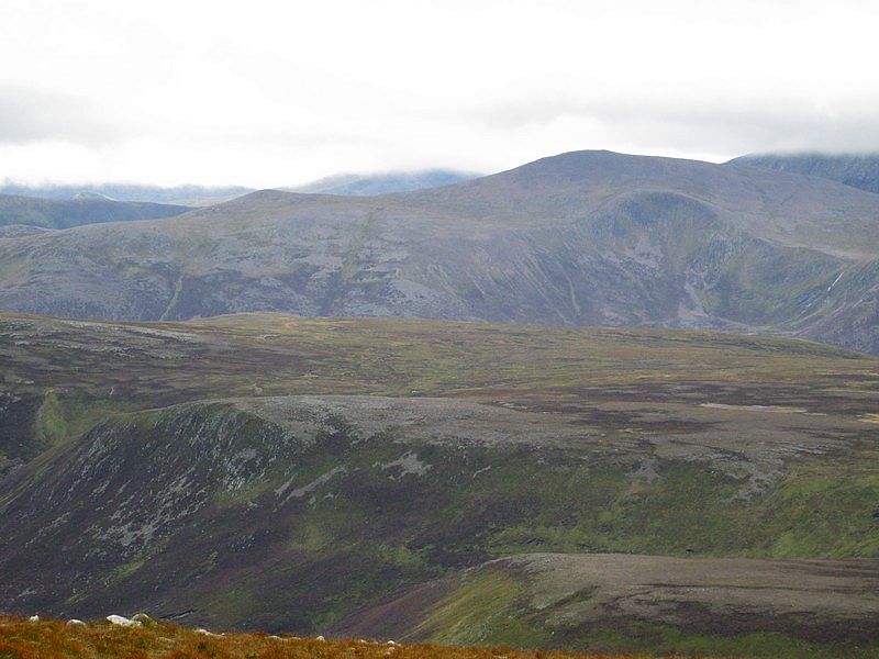
A few minutes later there's a better view of Derry Cairngorm across Beinn Bhreac.
I was now in no particular hurry to get back to Linn of Quoich so the return walk took only slightly less than the outward one. This was also a reflection of how gentle the climb of this hill is - overall the gradient is no more than about 1 in 9 and this makes it, I'd suggest, one of the easiest of the high Munros to climb in terms of physical effort.