Beinn a' Chaorain and Beinn Teallach
The route shown on this map is taken from my SPOT GPS tracker
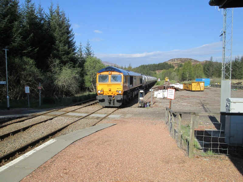
Having stayed at the Station Lodge at Tulloch I was just about to set off on this wlak when I heard the sound of a freight train approaching the station - it was the empty alumina tankers from the British Alcan works at Fort William.
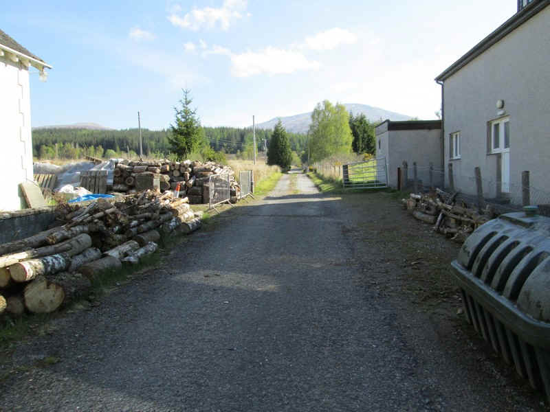
The walk starts along what, I imagine, was the old main road before the A 86 was upgraded.
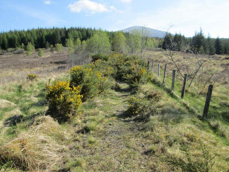
It starts well but soon degenerates into an overgrown track full of gorse bushes.
Nevertheless, it was a way of reducing the amount of verge walking along the A86 - it's just over a mile to the usual start of the walk at Roughburn.
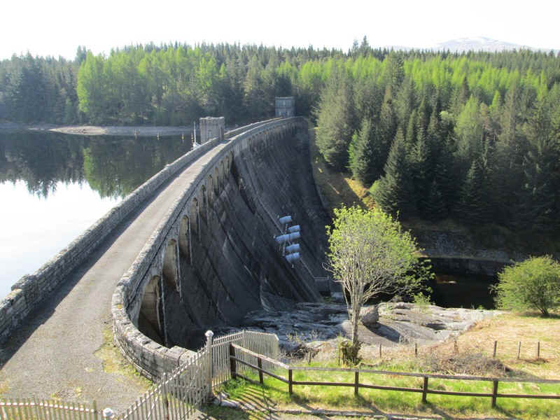
The highlight of this part of the walk is the Laggan Dam.
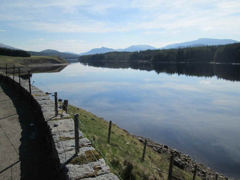
One couldn't ask for better conditions for reflections in the water of the reservoir..
....and it's hard to tell where the dam wall ends and the reflection starts.
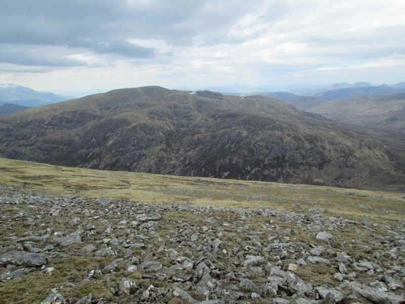
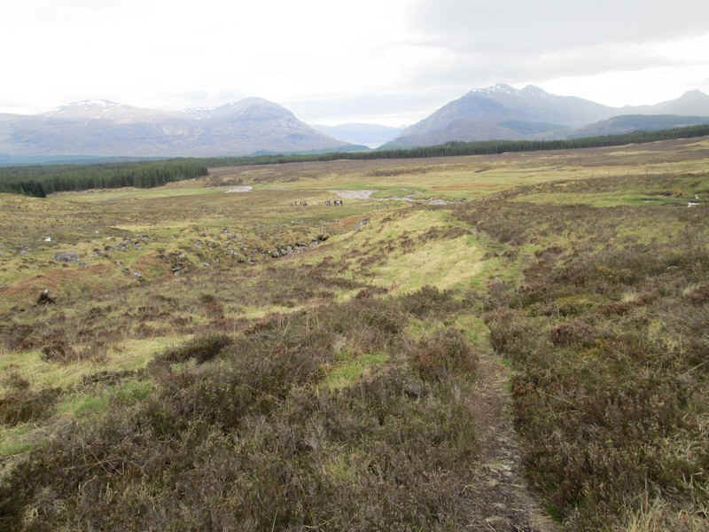
Ahead is the day's first target hill Meall Clachaig, the southern outlier of Beinn a' Chaorain
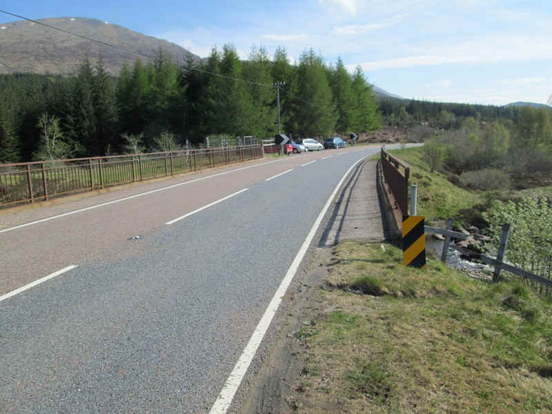
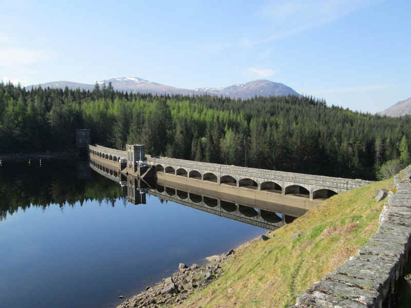
The bridge at Roughburn is where the walk proper....
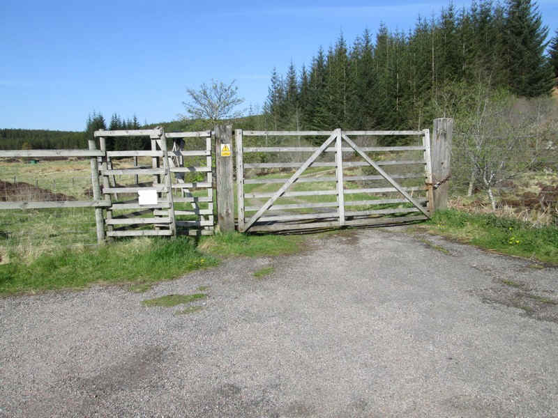
....starts through the deer fence gate and...
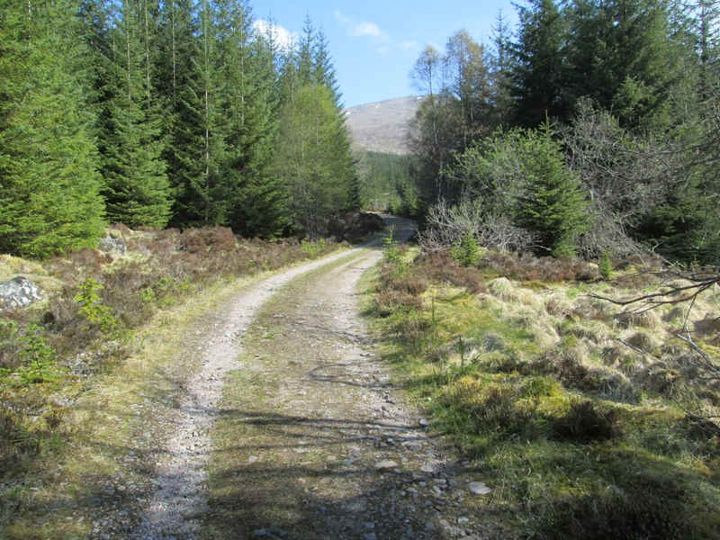
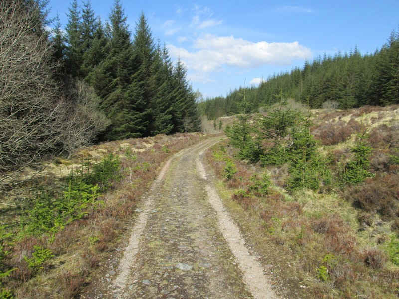
....along a pleasant forest road....
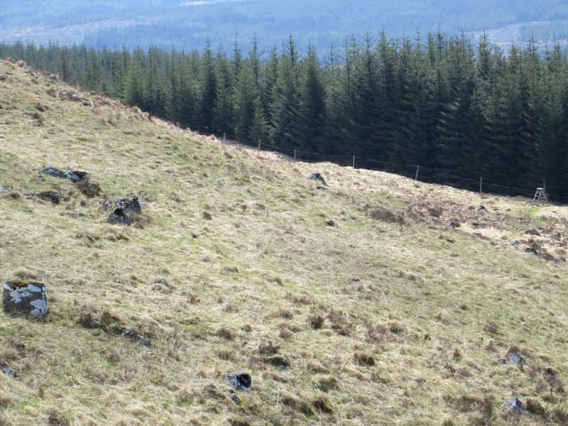
...to a junction where another track leads off to the west.
The traditional route to the hill is a little further on and marked by a small cairn. However, reports refer to the extreme bogginess of the track through the tress and I had already decided that walk around the forest edge would be preferable. I met some walkers later who confirmed just how bad the track through the trees was.
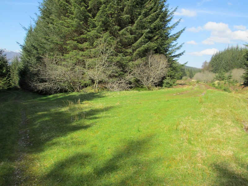
So I continued along the forest track ...
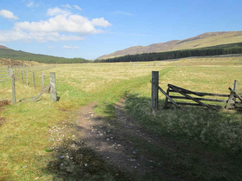
....until it reached the edge of the trees and then ....
...crossed the stile and through a gate on the opposite side of the fiedl.
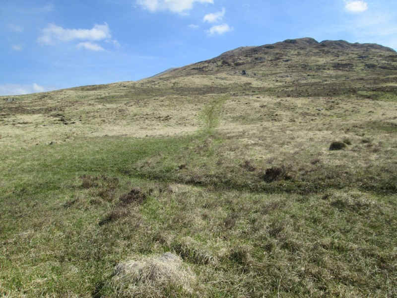
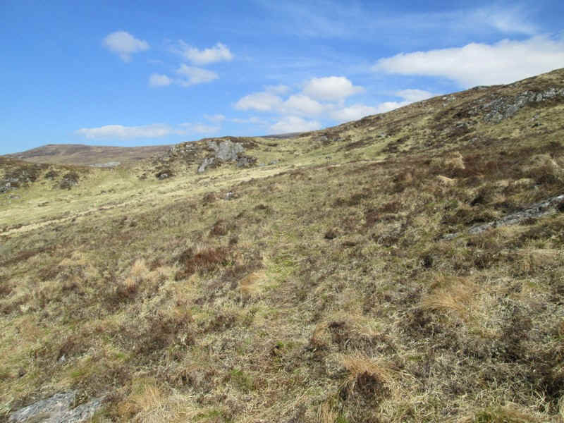
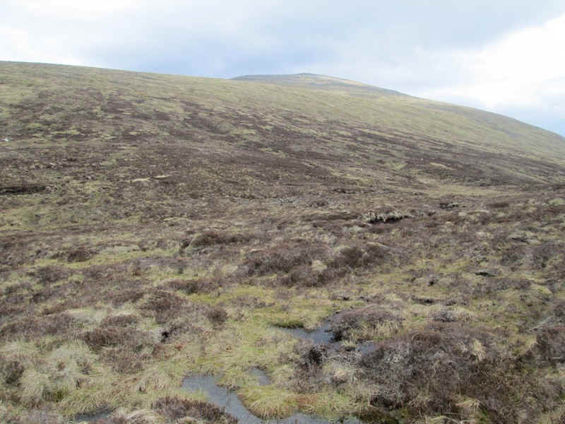
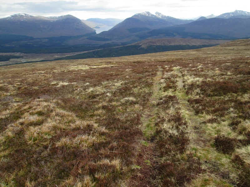
Initially there was a vague path across the hillside but it soon petered out.
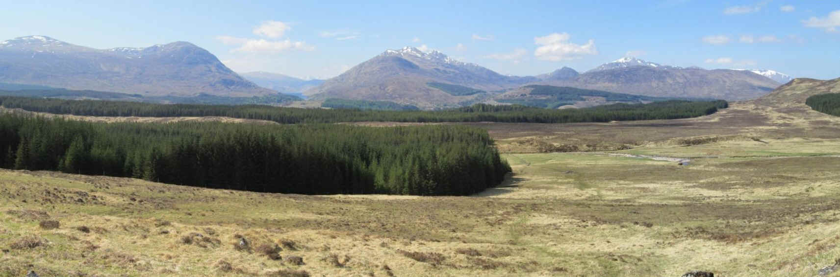
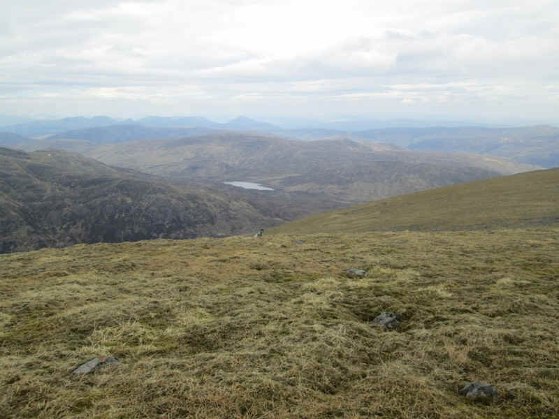
Looking back the views were good with the Munros on either side of the Loch Treig gap (left of centre) and the Grey Corries (on the right). Click on the photo to see a full sized image.
I traversed around the hillside until I was above the stile that marks the path through the trees and then...
.....headed uphill with intermittent sections of path being used (this is at NN 37098 82593).....
......wherever I could find them.
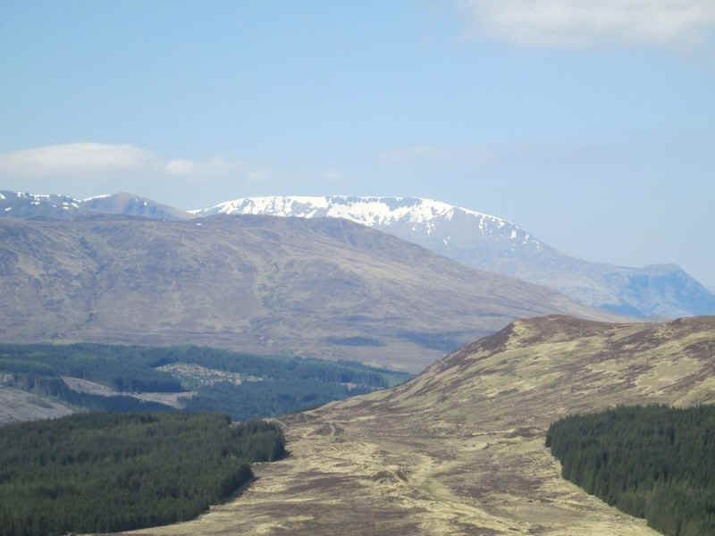
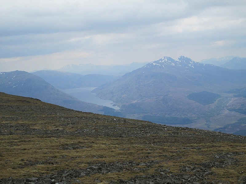
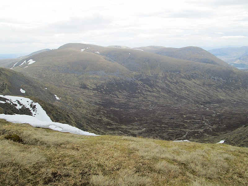
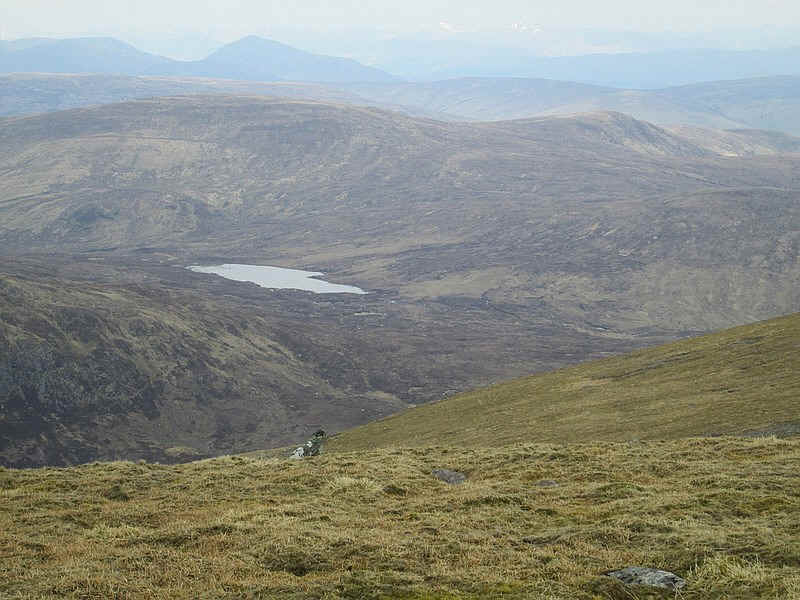
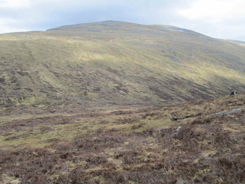
It was surprisingly warm and I had plenty of rest stops for drinks - the views back were the real reason of course! The snow covered hill is Aonach Mor.
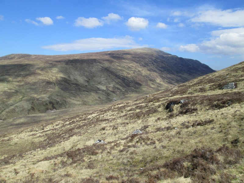
Over the glen is Beinn Teallach, the day's second objective.
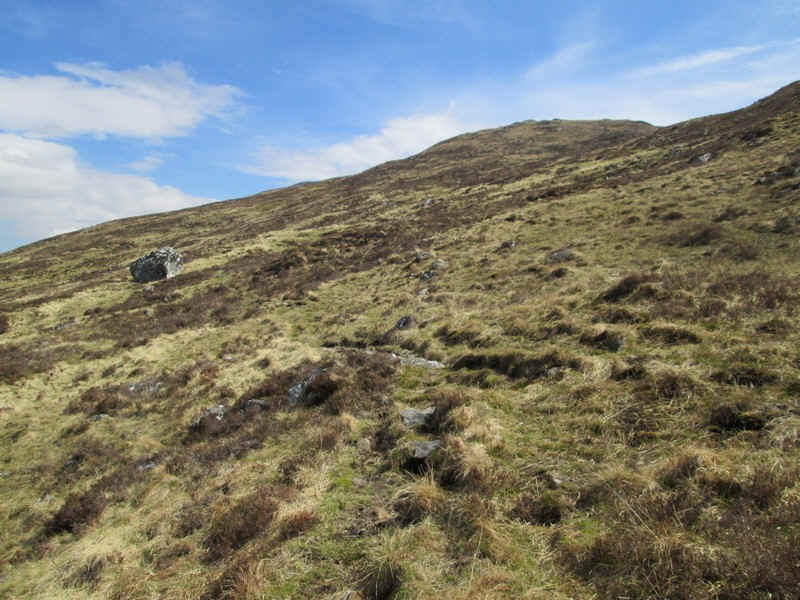
It was a long pull uphill......
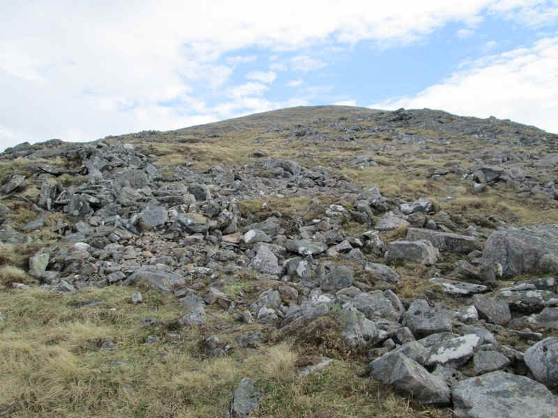
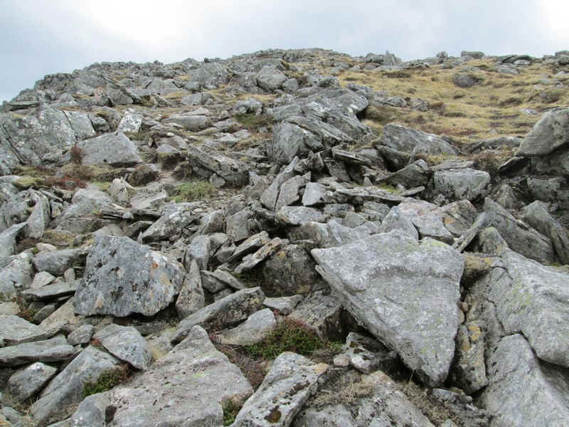
....with sections of boulders to make things more interesting.....
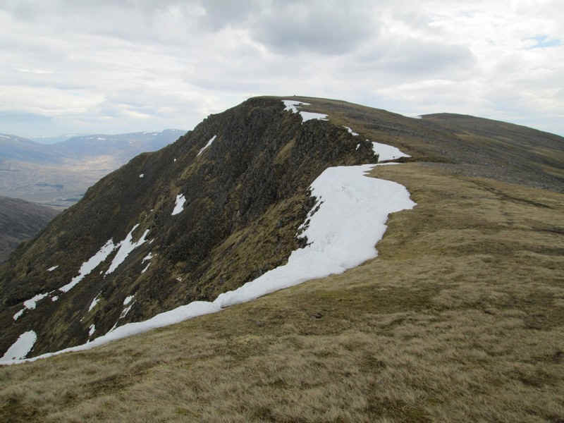
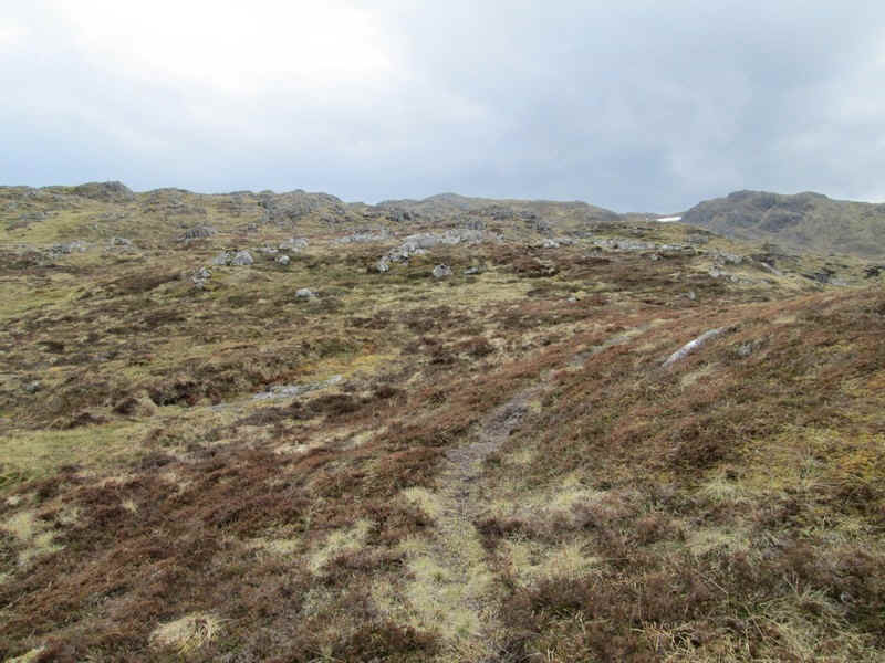
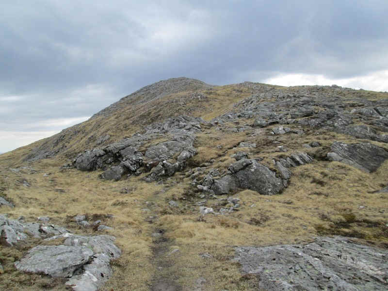
Eventually, the long ridge leading to the summit came into view. I'd decided that I was going to take a long diagonal north eastwards traverse rather than heading straight uphill and aimed to hit the ridge between the two summits of Beinn a'Chaorain.
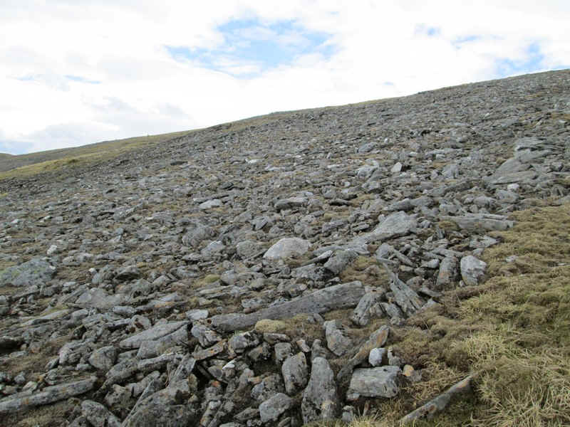
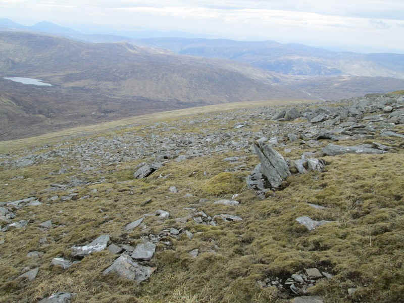
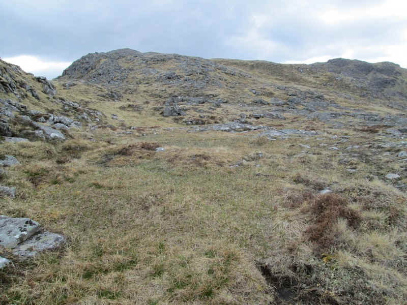
The final climb to the ridge was over stones and was somewhat tedious but...
...,once there, walking became much easier. This is looking towards the south sunmit (1049 m).
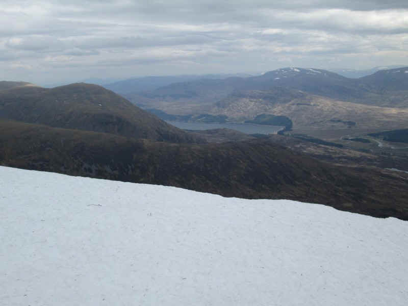
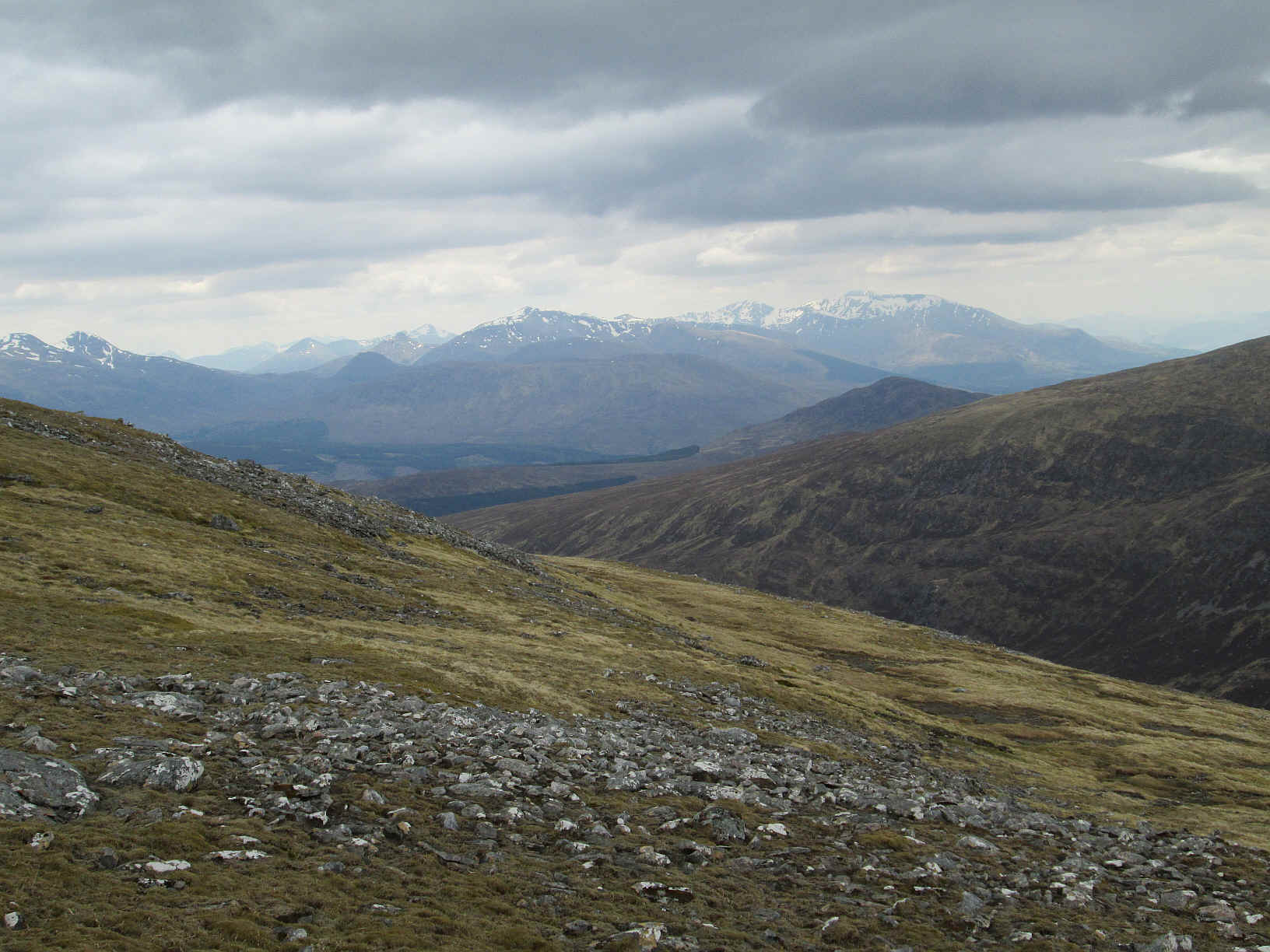
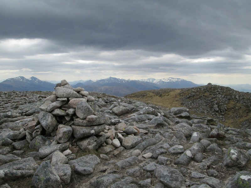
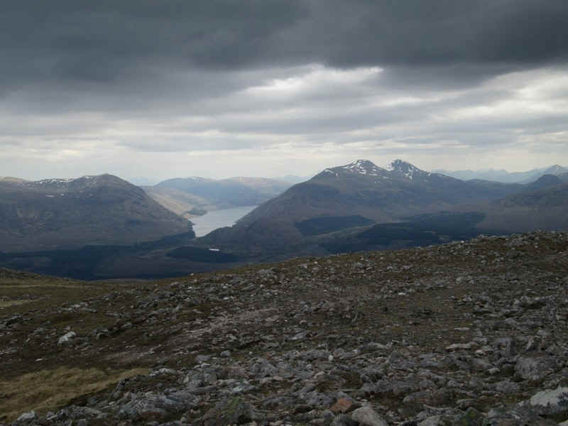
It was rather hazy but a sharpened photo shows Loch Treig and the two Munros I climbed the day before Stob a'Choire Mheadhoin on the left and Stob Coire Easain.
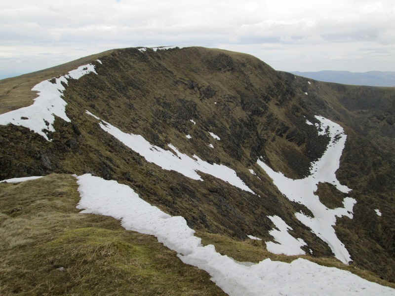
There was an enormous cornice on the east facing corrie. Down in the Glen Spean is the western end of Loch Laggan.
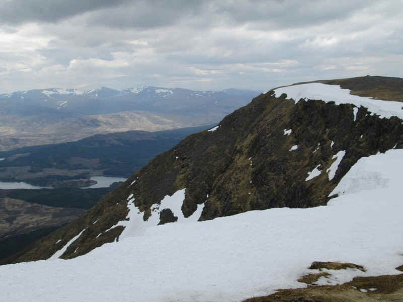
The size of the cornice is obvious in this photo. The water in this view is the eastern end of the reservoir behind the Laggan dam.
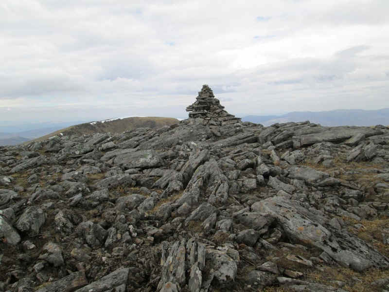
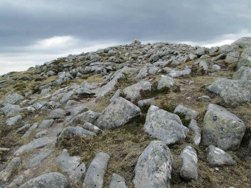
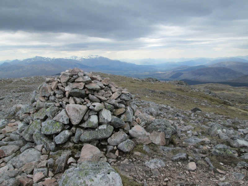
The summit of Beinn a'Chaorain is marked by this cairn - time for lunch!
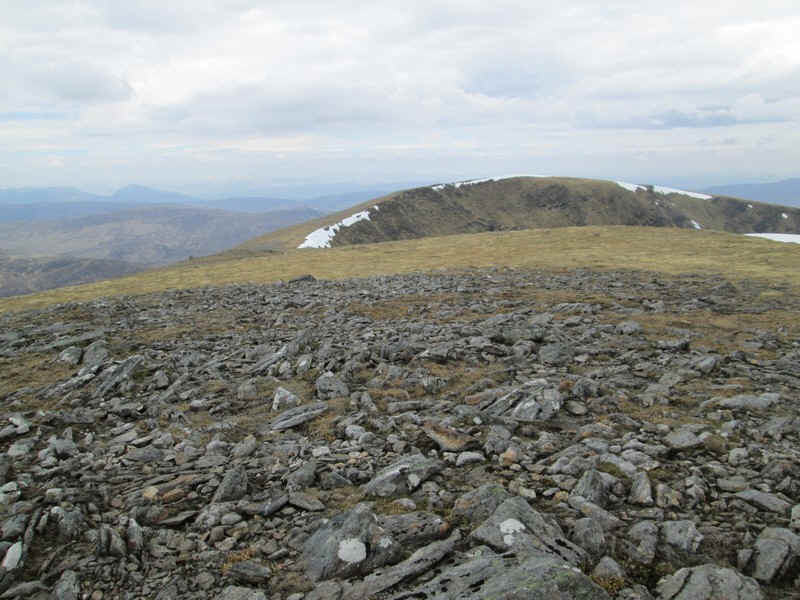
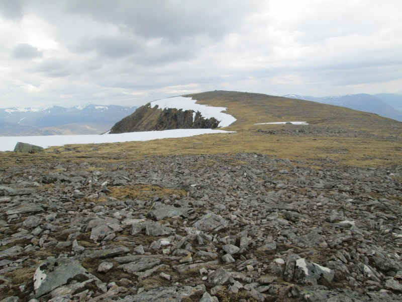
Beyond the ridge to the north dips slightly ....
...before rising again to another summit at 1043m. It's an absolutely fantastic ridge walk but has a bad reputation for walkers falling over the cornice in winter.
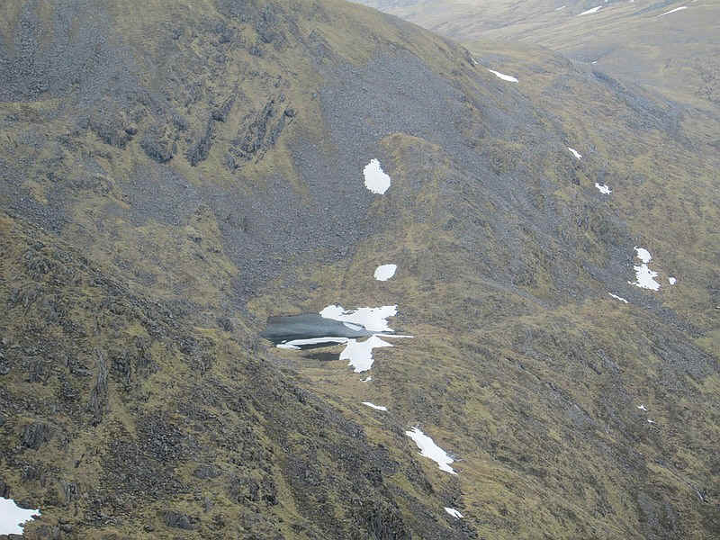
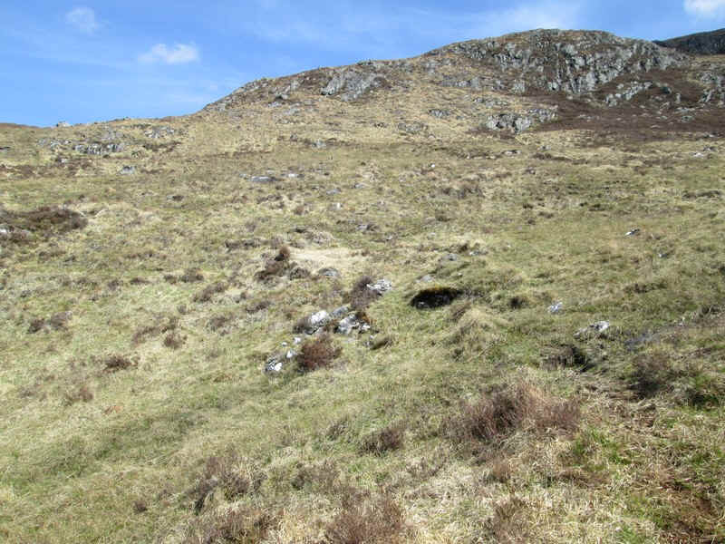
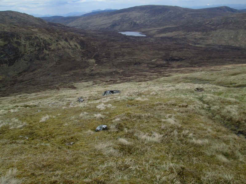
Down in Coire na h-Uamha there was ice visible on the surface of the lochan.
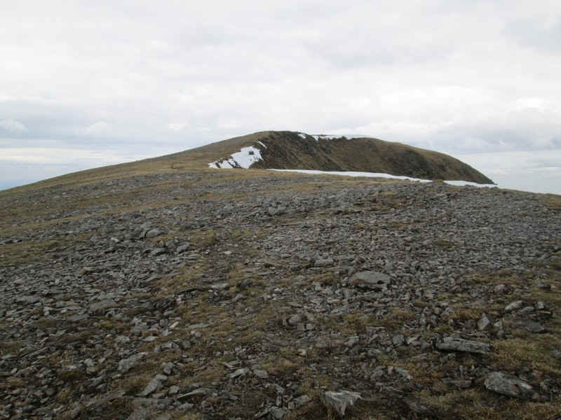
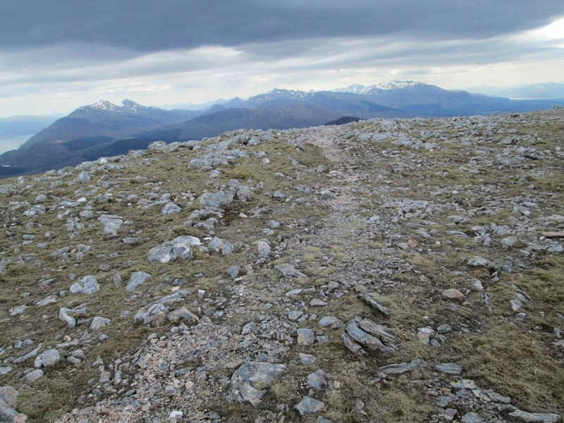
It's easy walking ot the north summit...
Over to the east is the Munro Creag Meagaid and the bogs in Coire na h-Uamha
Looking back to the summit of Beinn a'Chaorain.
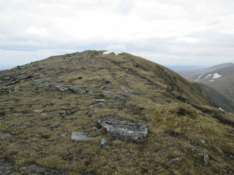
The ridge narrows slightly to the north summit where the spot height on the map shows 1043m.
The descent to the beallach between the the day's two Munros starts off as a delightful grassy slope.....
...and soon the small Loch Sguadaig comes into view - the way forward heads straight for this....
....down increasingly steep slopes.....
...before becoming gentler lower down.
Over to the south there were good views. including Ben Nevis seen peeping over the crest of the Aonachs on the right. Click on the photo for a larger image.
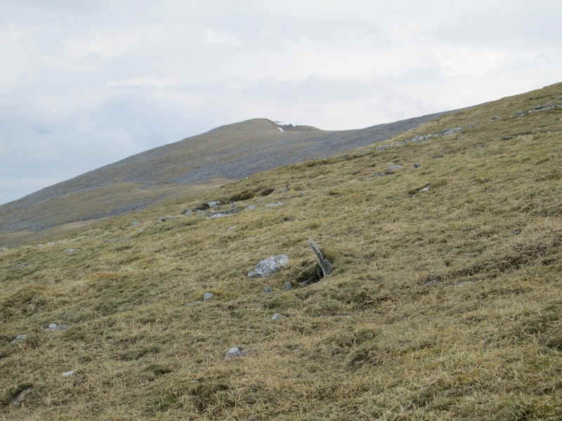
Beinn Teallach, the next hill to climb, is only 915m above sea level....
.....but it means dropping down from 1043m to 614m at Tom Mor. There's an obvious large boulder to aim for..
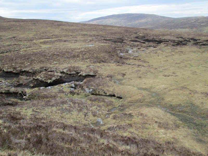
...and then what appears to be a boggy area at the col.
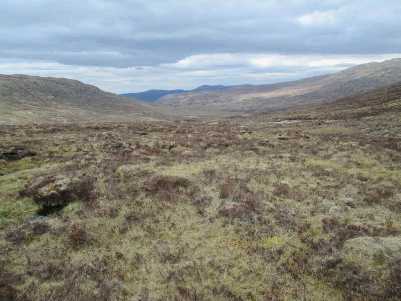
In reality it was surprisingly well drained. This is the view looking north towards Glen Roy.
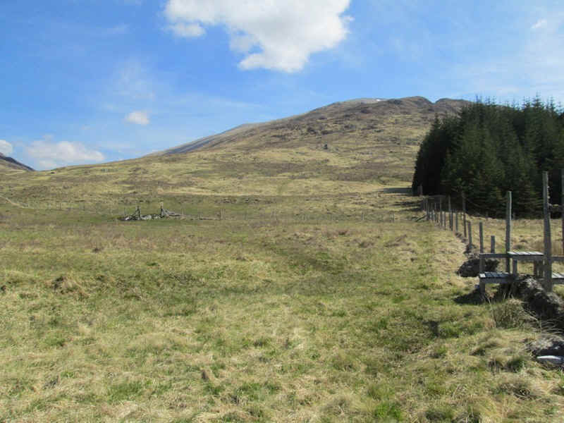
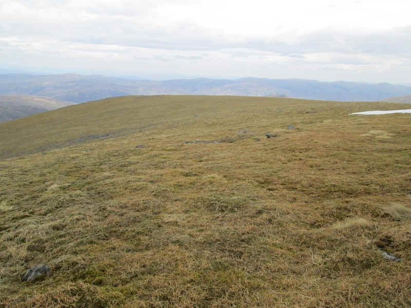
From Tom Mor it's a gentle pull up the hillside...
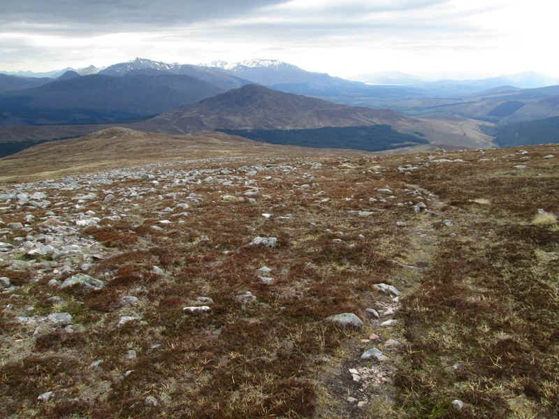
....with good views across the glen to Beinn a'Chaorain.
In places there are intermittent sections of a track...
....but otherwise it's just a case of heading upwards.
There are some stony sections to cross...
...but further up a clearer path emerges.
The summit cairn of Beinn Teallach appears....
....and the fact that it has two summits is then revealed. The second one is actually slightly higher.
Beinn Teallach's cairn with Ben Nevis in view and the head of Loch Linnhe. Time for "afternoon tea"!
The descent from the summit heads due south. By keeping Loch Treig directly ahead there's no real need to use a compass or GPS.
Odd sections of path appear and disappear and ....
....often didn't appear to be heading in the direction I wanted.
Eventually, an all-terrain vehicle path was intercepted which descended...
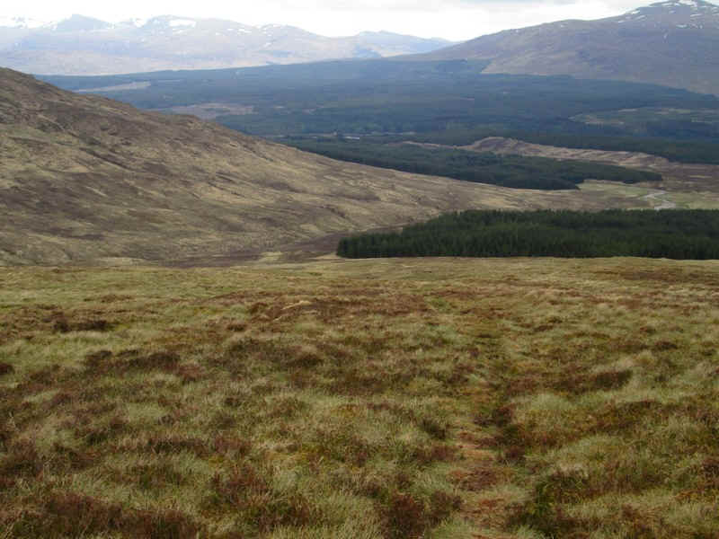
....directly to the corner of the forest...
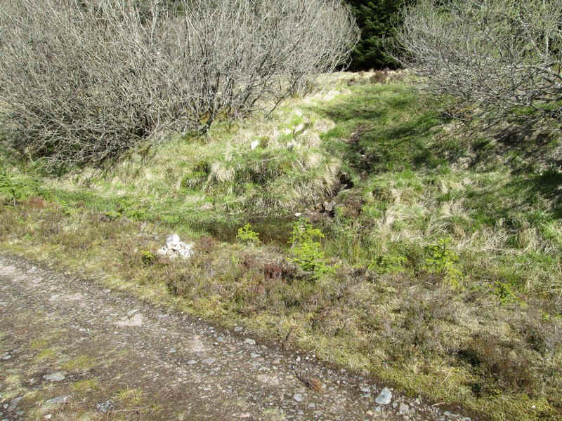
....at NN364 833.
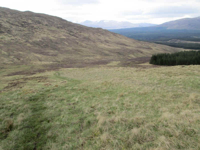
The forest edge is followed...
...and then a path strikes off towards the Allt a'Chaorain stream...
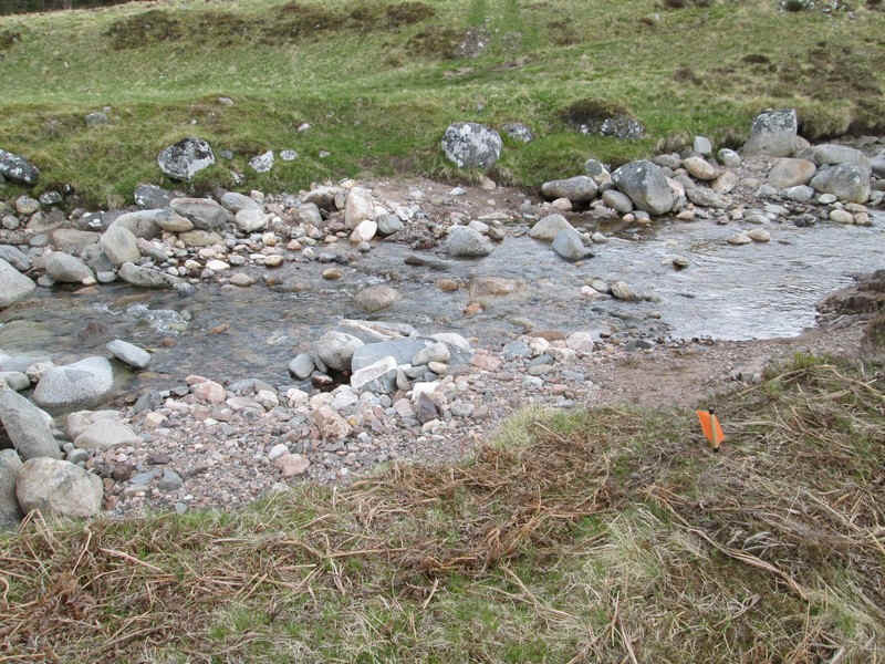
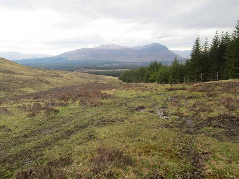
...which thankfully wasn't in spate and was easily crossed on the stones.
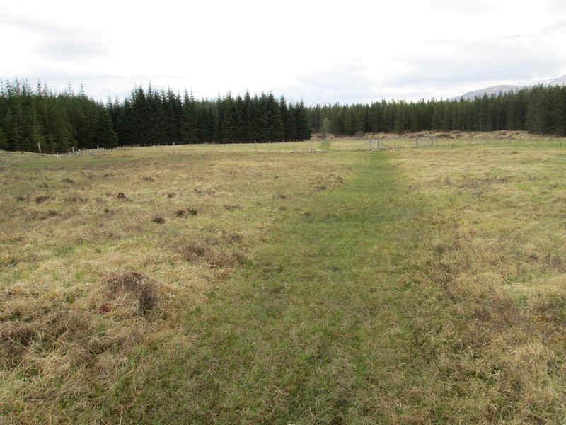
The final section of the walk crosses fields to the end of the forest road leading to Roughburn. The hill walk from Roughburn had taken me just over 8 hours, including several refreshment breaks totalling about an hour, about the time suggested in several books