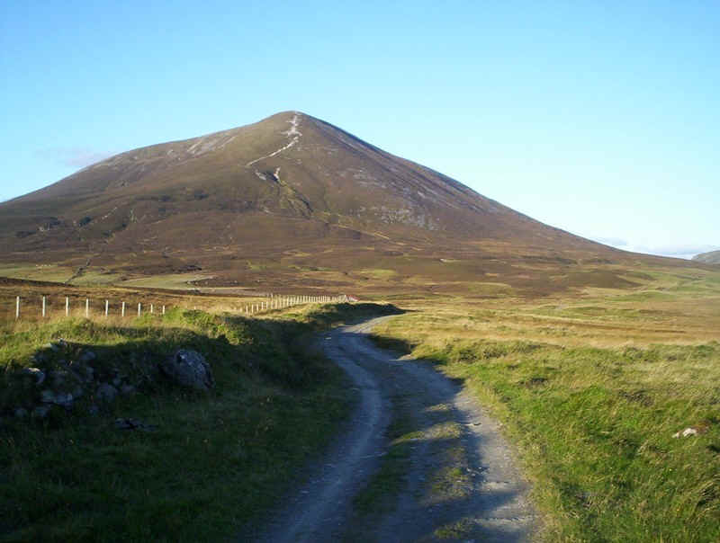
Carn Liath (975m), Braigh Coire Chruinn-bhalgain (1070m), Carn na Gabhar (1121m)
The way points on this map are taken from my GPS Spot tracker. You can make the map bigger or alter its appearance by clicking on the controls.
The first Munro I climbed, back in 1998, was Carn Liath and I found it memorable because of the seemingly "long walk in" from Blair Atholl. This was probably influenced by the fact that it was a very hot day and that the climb from the village to the summit is a not inconsiderable 2700 feet plus. Fast forward to September 2010 and that long walk in and climb no longer seem such a big deal.
I've often looked at the hills of the Beinn a'Ghlo range passing Blair Atholl on the train north and an opportunity arose to do the walk in late September 2010, after the midges had disappeared and before the really short days come around. One potential problem was stalking but a call to the Hill phones stated that the ridge route on Beinn a'Ghlo would be alright.
So, having travelled to Perth on Friday evening, I arrived at Blair Atholl on the train at nine o'clock. The weather forecast was quite good although temperatures would be quite low and wind speeds up to 35 or 40 mph could be expected according to MWIS. Visibility was expected to be good.
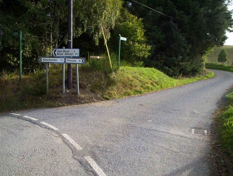
After the walk through the village and up to Old Bridge of Tilt the lane to Monzie was taken at the junction above
The first sight of the first Munro of the day, Carn Liath, appeared to the north west.
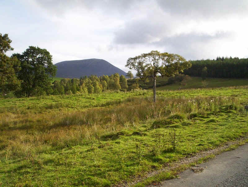
As the road climbed towards Loch Moraig, the shoulder of the second Munro, Braigh Coire Chruinn-bhalgain came into view.
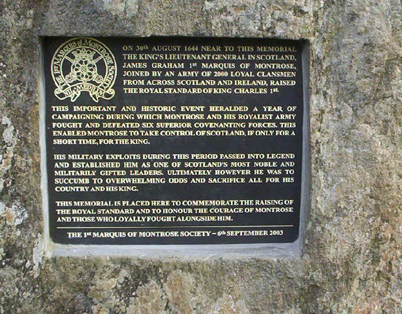
By the side of this road is a plaque commemorating more of Scotland's bloody history.
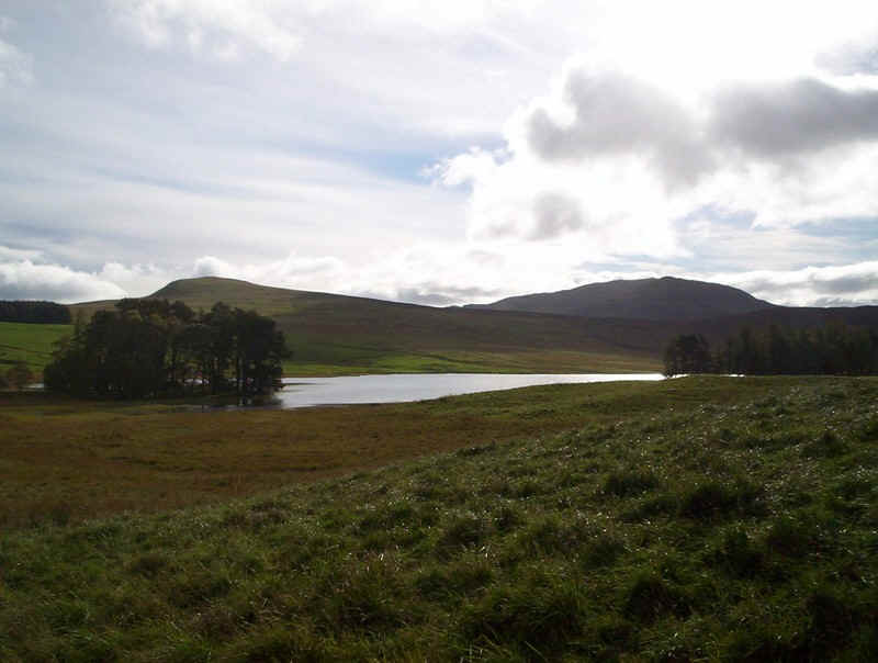
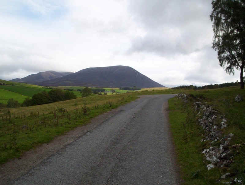
Loch Moraig lies just off the road and marks the end of the public paved road.
The paved road bends round to Monzie, whilst the way forward to the hills is though the gate.
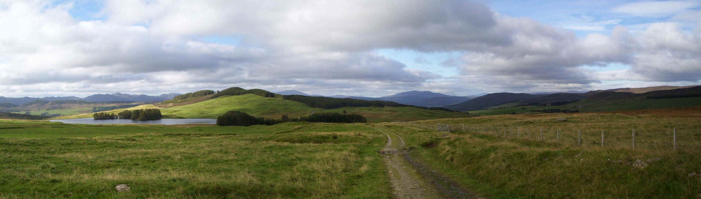
I'm a great believer in looking backwards and this walk includes plenty of opportunities to stop and see what lies behind. Click on the photo to see a larger image.
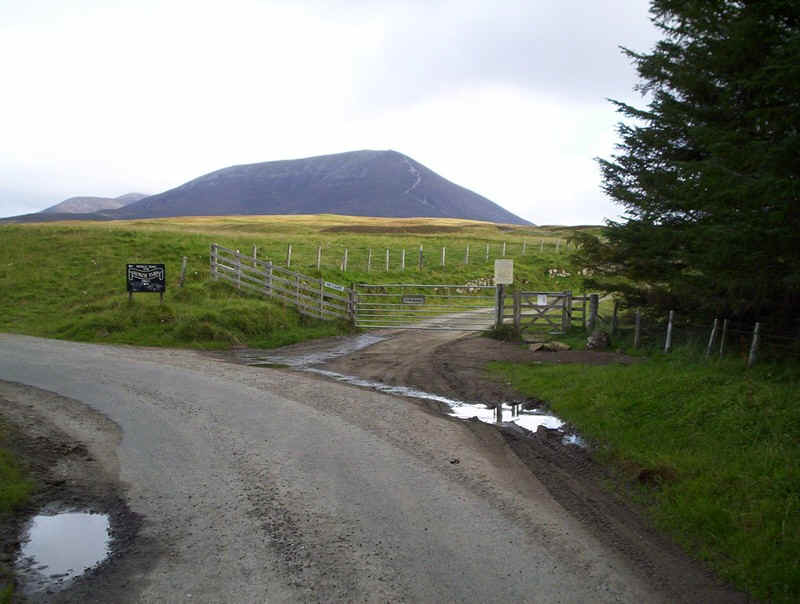
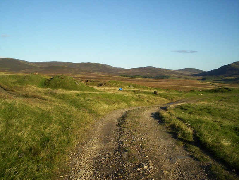
The broad track leads to Shinagag and right through to Glen Loch....
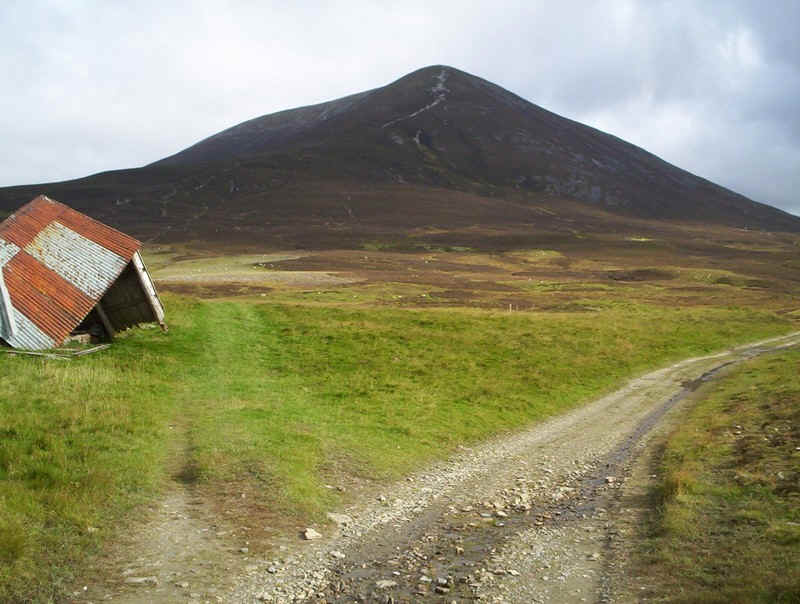
.....but at this collapsed hut the way to Carn Liath branches off...
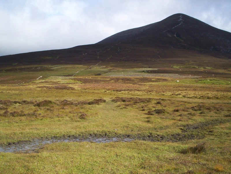
.....initially across quite a boggy area with no really clear track...
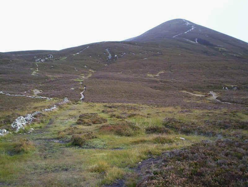
.....until it reaches the remains of a wall.
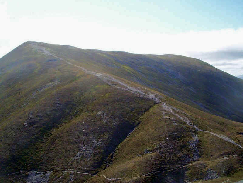
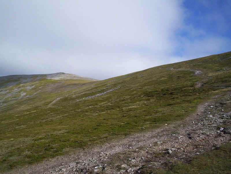
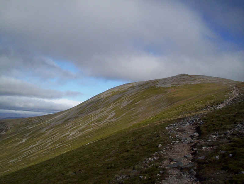
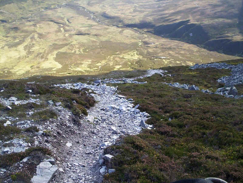
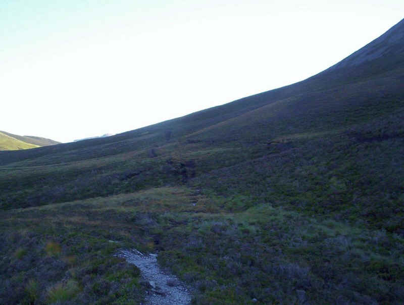
The path becomes noticeably clearer as it begins to climb, steadily at first....
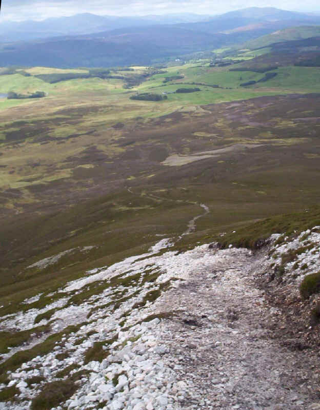
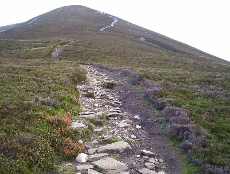
...and then much more steeply up a very eroded track.
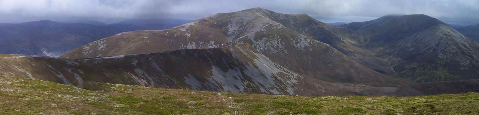
The angle of slope on the left of this panorama gives an indication of the gradient; a good excuse to pause and take photos of the view to the east. Click on the photo for a larger image.
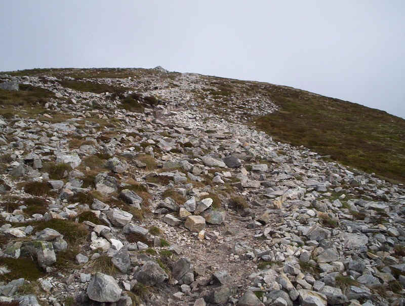
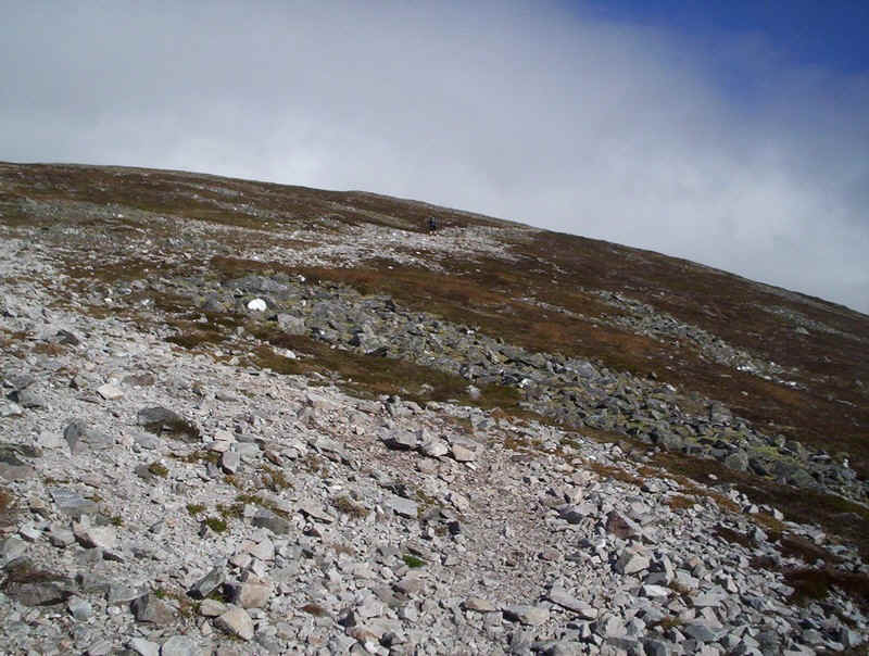
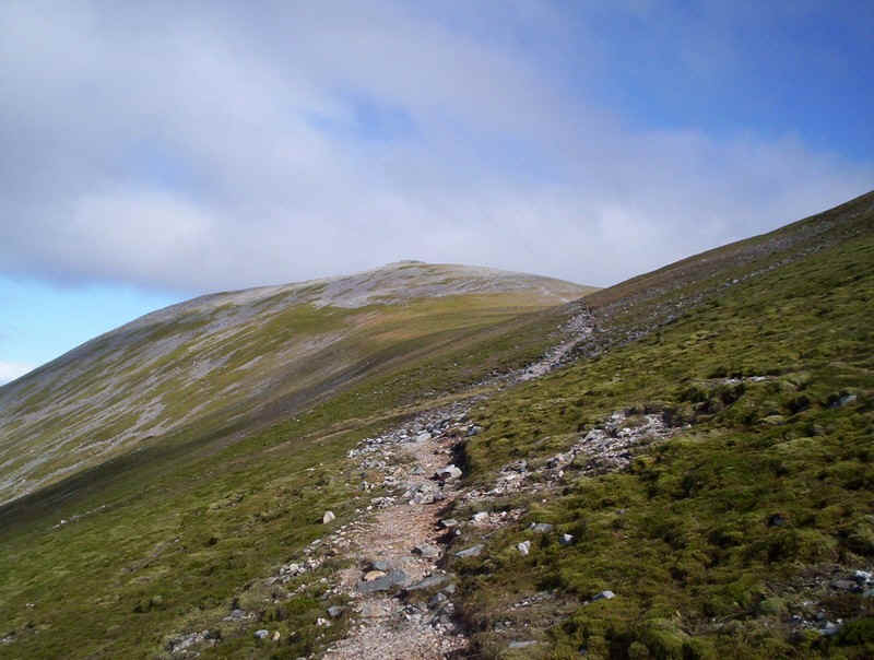
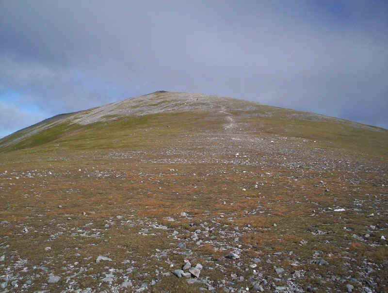
The rough track climbs to a cairn on a false summit.....
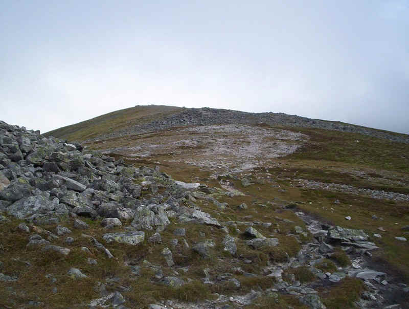
......but the gradient eases....
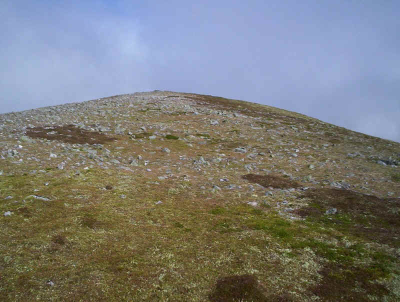
.....and there are areas of turf to walk on instead of stones.
Eventually, the summit shelters and a trig point are reached at Carn Liath's summit two and three quarter hours after leaving Blair Atholl.
The forecast was certainly correct about the wind speeds and just beyond the summit the topography of the hills made it difficult to walk. I began to think that perhaps I might have difficulty completing the planned walk. However, I set off down the grassy ridge leading to Beinn Mhaol.
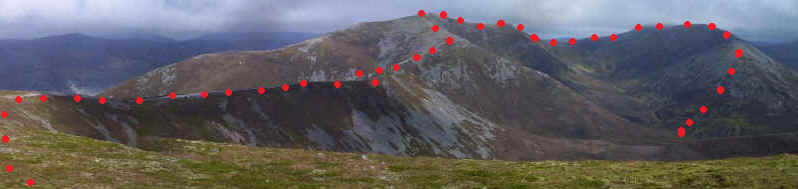
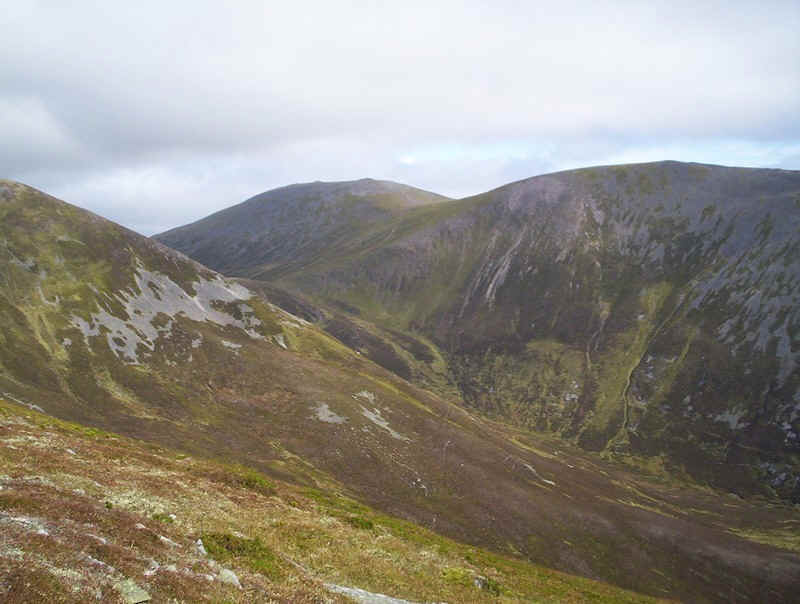
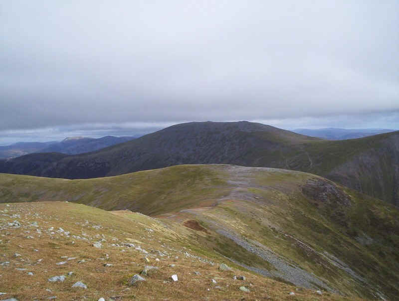
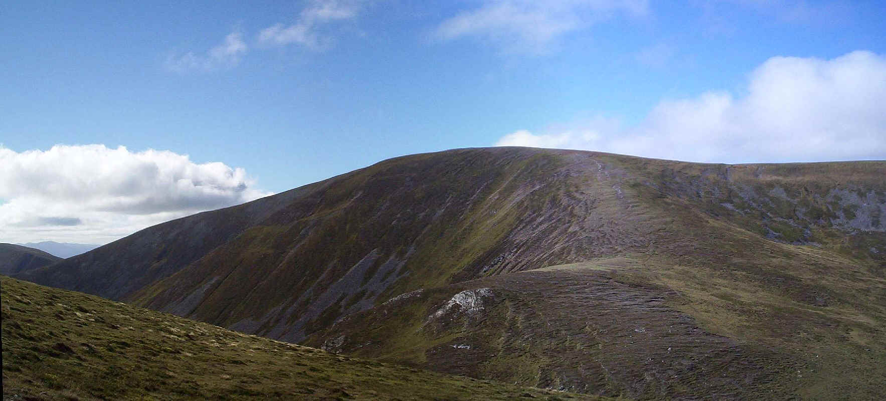
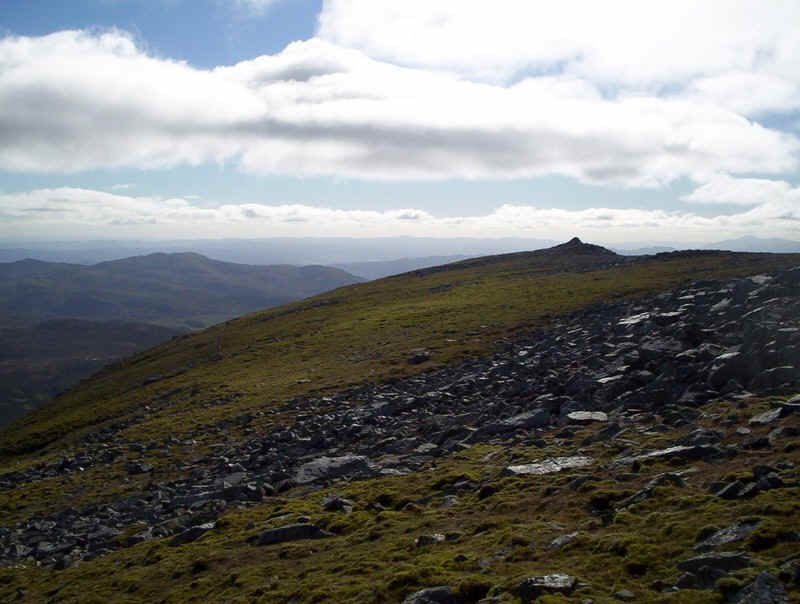
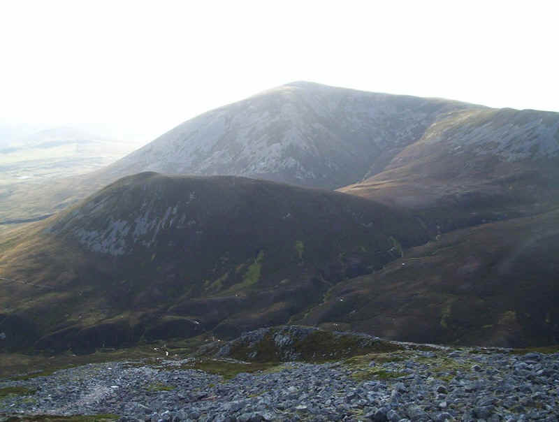
The view from Carn Liath towards Braigh Coire Chruinn-bhalgain in the centre and Carn nan Gabhar is spectacular to say the least and the whole of the walk onwards can be seen from this point.
Click on this image to see a larger view.
The path descends gently to the end of the Beinn Mhaol spur....
.....before dropping down to the bealach and then climbing diagonally uphill towards Braigh Coire Chruinn-bhalgain.
From the bealach there's a steady but easy climb.
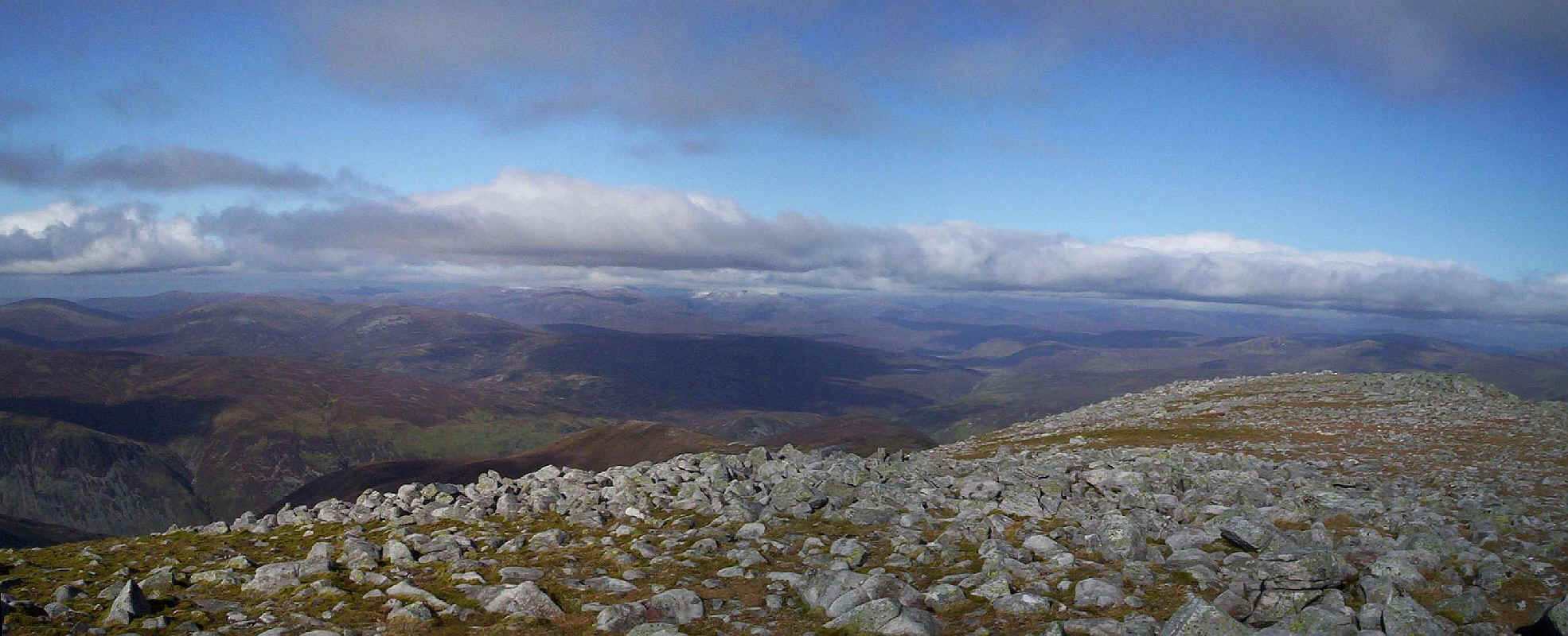
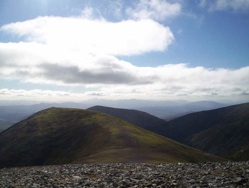
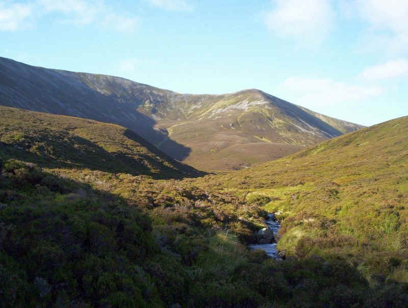
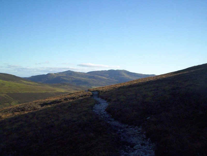
Looking back towards Carn Liath and a possible escape route down into the valley of the Allt Bealach an Fhiodha.
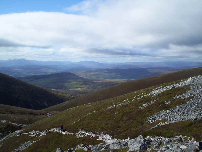
Another view looking back towards the west.
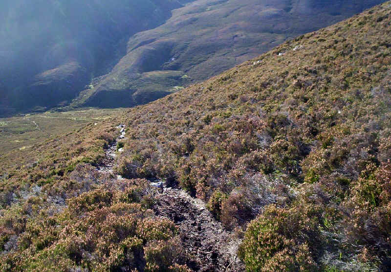
In places the path has caused considerable erosion damage on the stony ground...
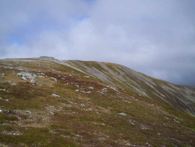
....but as the ridge to summit is reached turf replaces stone.
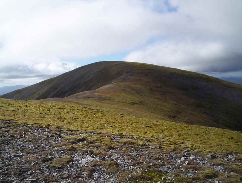
Across the valley Carn na Gabhar, the highest of the Beinn a'Ghlo hills towers above me.
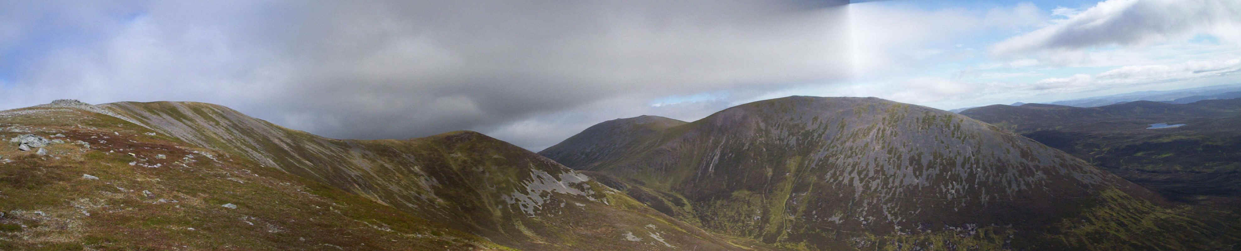
Click on the image for a larger panorama.
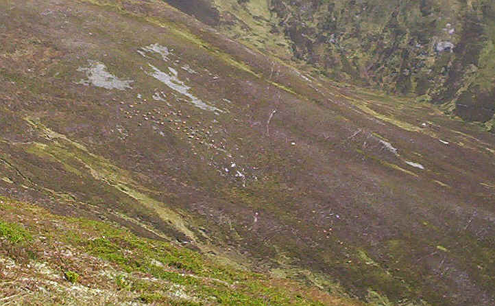
Down in the valley was a large herd of deer.
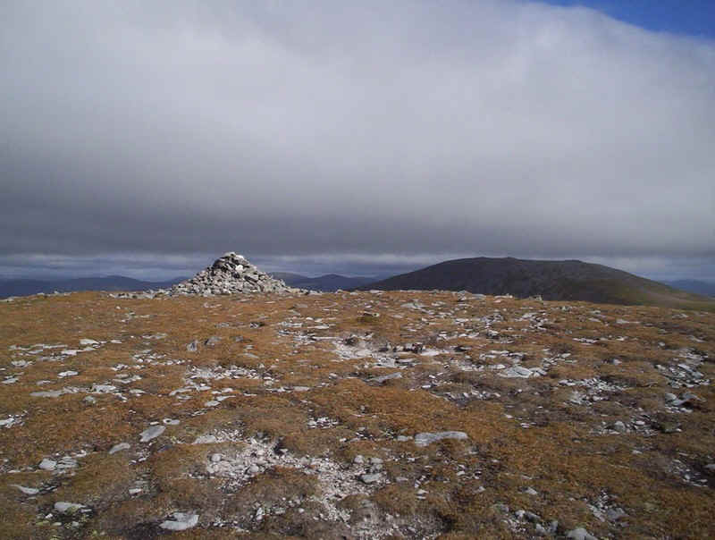
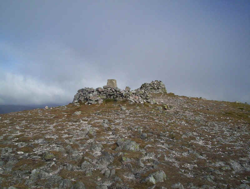
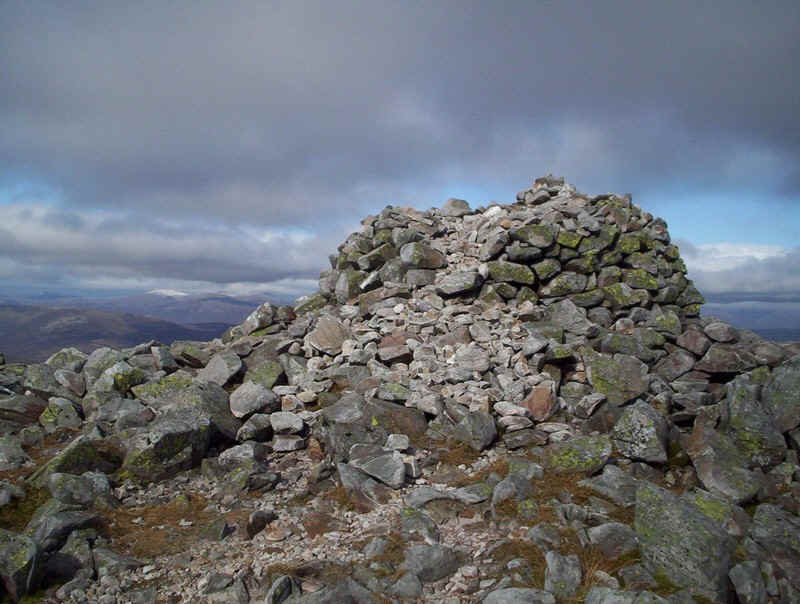
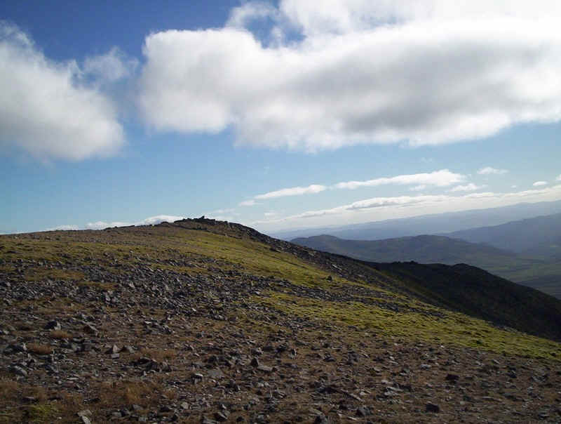
The summit cairn of Braigh Coire Chruinn-bhalgain, which I reached 4 hours and 20 minutes from Blair Atholl. The wind was too strong to sit and eat my lunch here...
.....but dropping down the north east ridge I found a depression completely sheltered from the wind.
Looking back to the summit of Braigh Coire Chruinn-bhalgain.
A less well trodden path drops down to the bealach at the head of Glas Leathad (to the left) and the allt Bealach an Fhiodha (to the right)
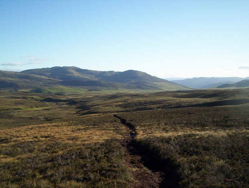
It's easy walking.....
.....and the gradient uphill is quite gentle.....
......as it slopes diagonally up to the main ridge...
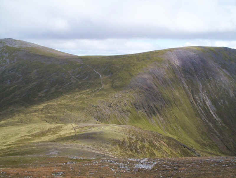
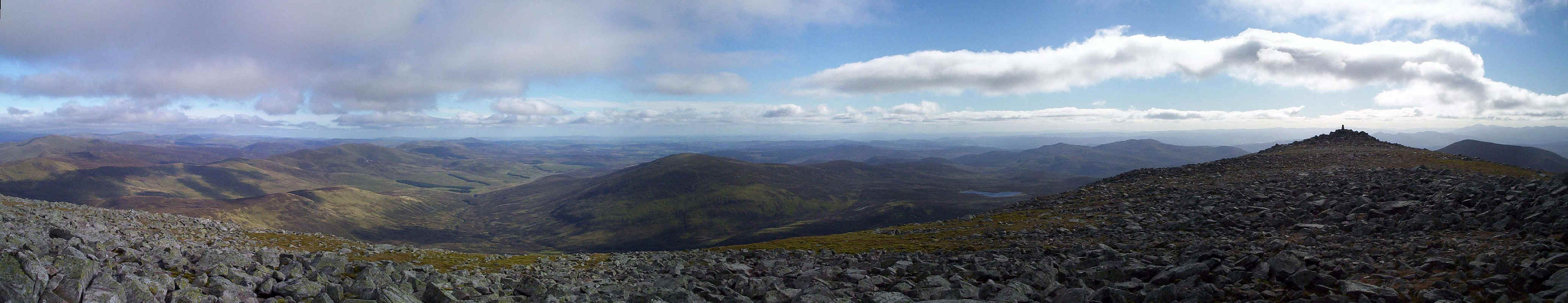
Looking back again another clickable panorama shows the bulk of Braigh Coire Chruinn-bhalgain.
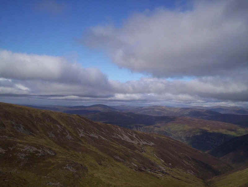
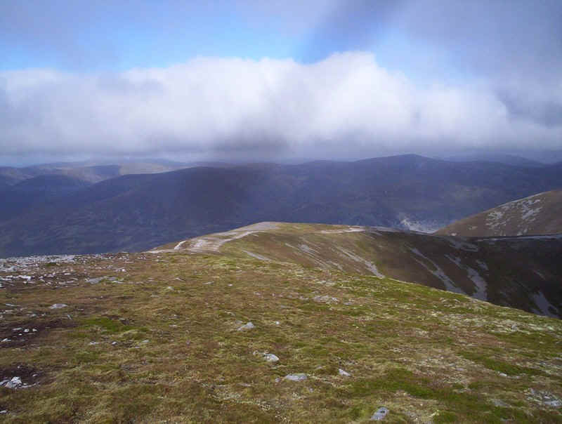
Looking north down Glas Leathad the Cairngorms can be seen. in fact the really high summits like Cairn Toul and Ben Macdui were covered with a new layer of snow.
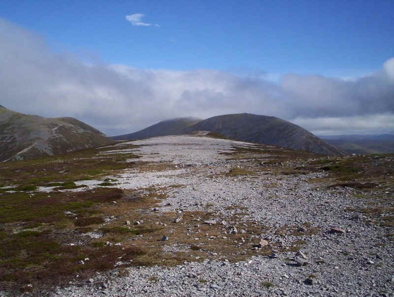
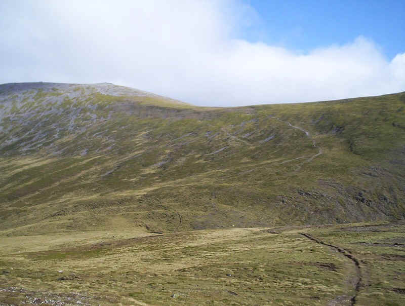
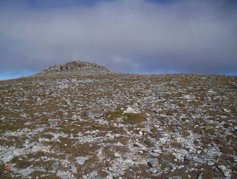
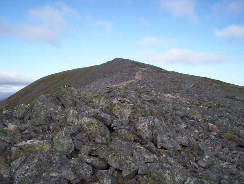
What appears to be the summit of the third Munro of the day appears...
.....and the main ridge path is joined.
Ah! the summit....
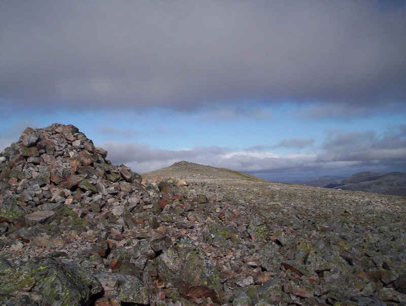
.....no there it is...
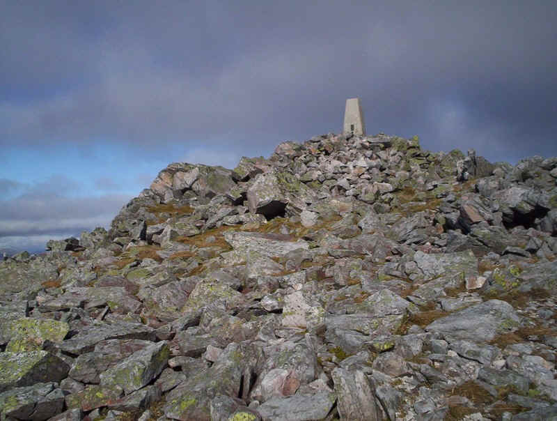
......this must be it with the trig point.....
.....wrong, this is the true summit; the cairn at the far north end of the Beinn a'Ghlo ridge.
It had taken me Five and three quarter hours from Blair Atholl. Since the SMC book suggests 4 and a half hours from Loch Moraig I was more than please with my progress.
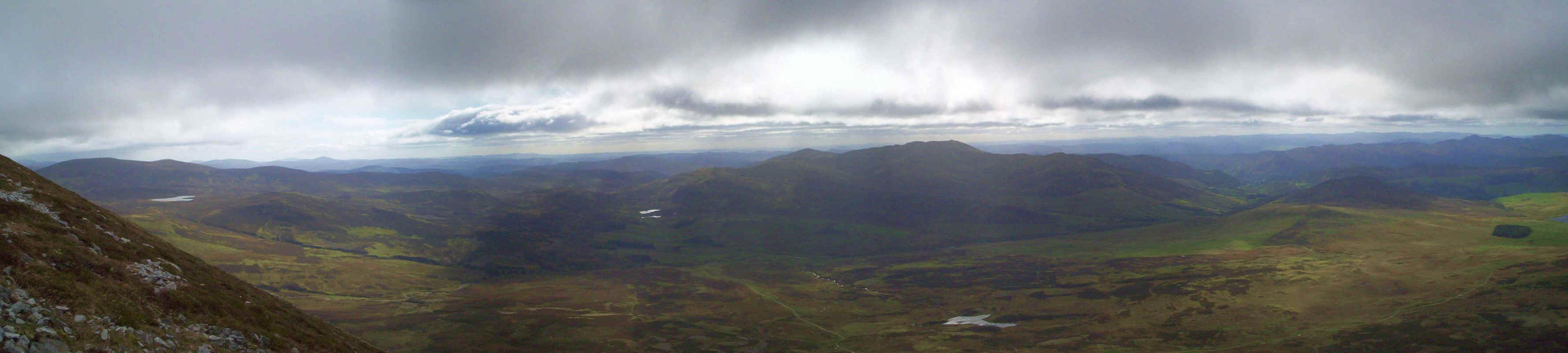
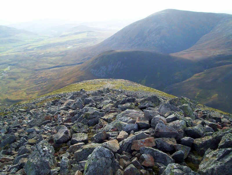
Beyond the summit the hill drops away into Glen Loch. In the far centre of this panorama the snow covered Cairngorms can be seen clearly. Click on the photo for a larger image.
Looking the other way, I've stitched no less than five photos together to produce this panorama, which gives the view from the east right round to the south west. Click on the photo again to see it full size.
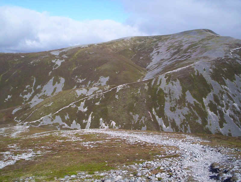
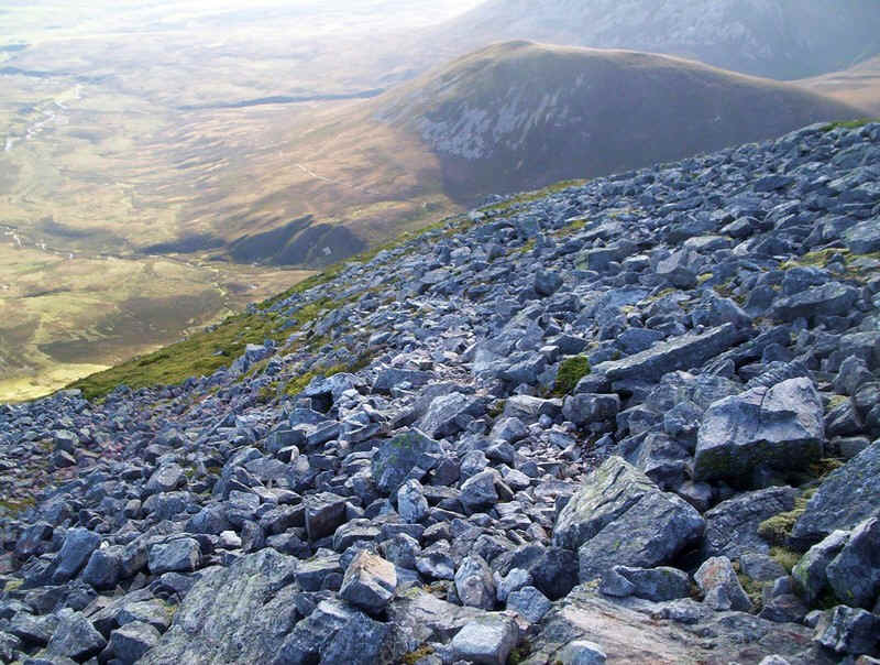
To avoid the really stony section along the top of Carn nan Gabhar's ridge I dropped down slightly to the east to walk on turf...
.....until I passed the trig point and the first cairn. The way ahead is towards the ridge leading to Airgoid Bheinn.
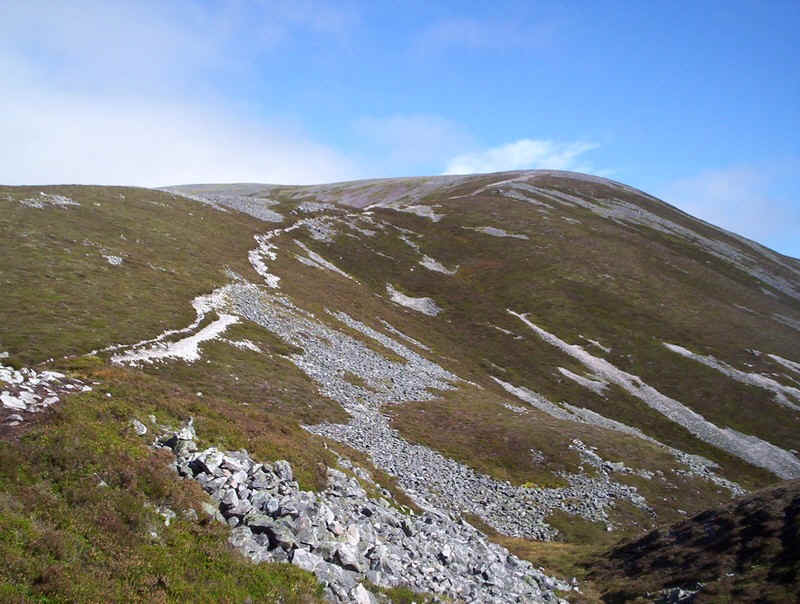
At first it's a lovely easy walk on turf but after the slight rise up to the summit it becomes...
.....a narrowing and very stony ridge.
Here's a view looking back to the summit of Airgoid Bheinn; not very nice to walk on at the end of a long walk but much worse is to follow!
The track appears and disappears continuously as it plunges down the steep end of Airgiod Bheinn.
Finding the track is sometimes difficult amidst the boulders but, eventually...
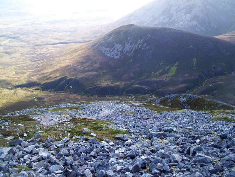
.....it heads down to a tiny depression (or miniature valley) seen to the right in this photo.
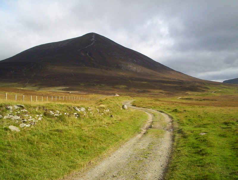
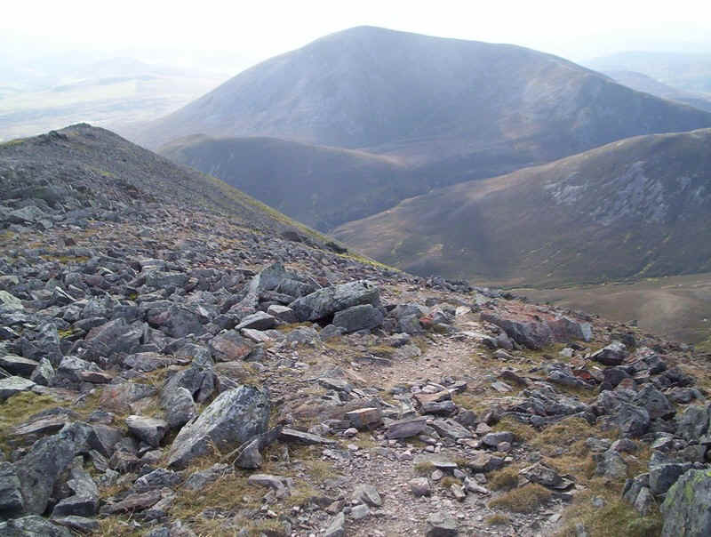
Across the valley is the 737m summit of Beinn Bheag and beyond Carn Liath.
The track drops steeply and is often a difficult one on which to stay upright.

It heads down into the heather...
.....and makes for the stream of the Allt Bealach an Fhiodha......
........which was easily crossed just upstream of a stream junction .
The camera is looking back upstream towards Braigh Coire Chruinn-bhalgain.
The end of the walk is a total contrast to what's gone before as it's across heather on a peaty and slimy stalkers' path. In wet conditions it must be absolutely vile.
In place it becomes more firm with stones...
...but mostly it's across peat.
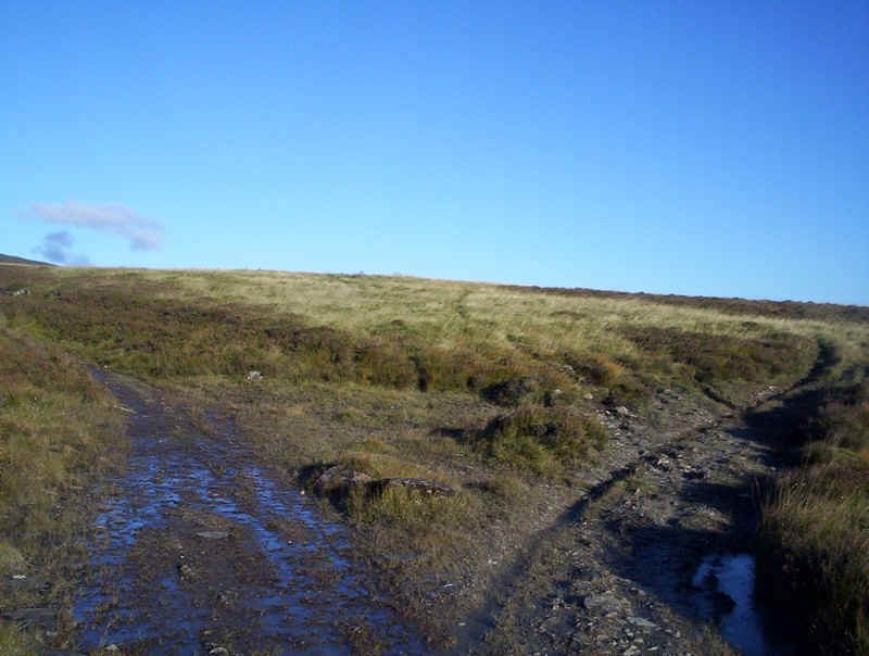
Eventually the path joins the track coming from Glen Loch (seen here on the right)...
....and after another half a kilometre the much firmer track from Shinagag comes in from the south east. At last it's possible to walk without looking where every footstep has to go and a good pace can be made.
A final look back at Carn Liath in the autumn evening sunshine
Another evening view of Loch Moraig.
My arrival back in Blair Atholl was just before sunset, the whole walk having taken exactly ten hours (including breaks for meals) for the 19 mile walk and approximately 4700 feet of ascent .