Beinn a'Chaisteil and Beinn nam Fuaran
This walk was completed in June 2014 when I finally completed climbing the five Corbetts near Tyndrum.
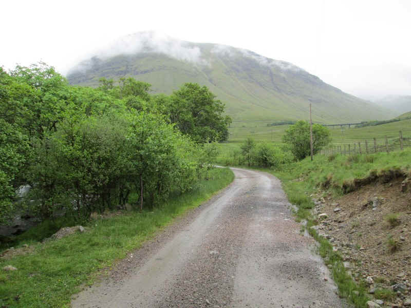
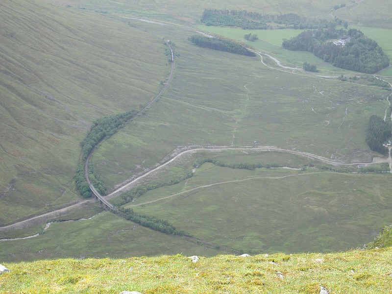
Leaving Tyndrum the first section is along the West Highland Way as far as the Horsehoe Curve viaduct on the West Highland Way. I didn't recorded this section on film until the viaduct came into view.
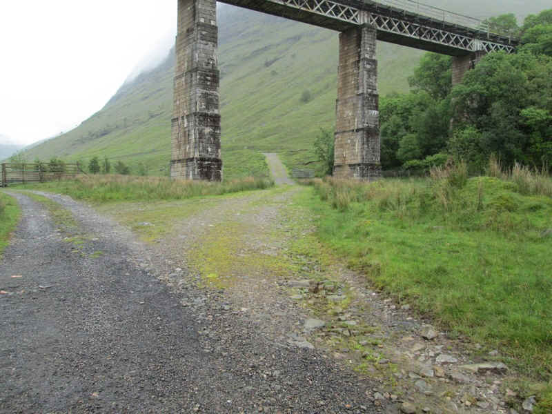
After leaving the Westy Highland Way near the Allt Kinglass river the track to the first hill branches off to the right underneath the viaduct....
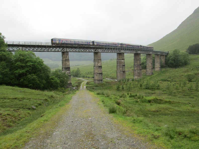
...and with perfect timing the morning Glasgow to Mallaig train appeared.
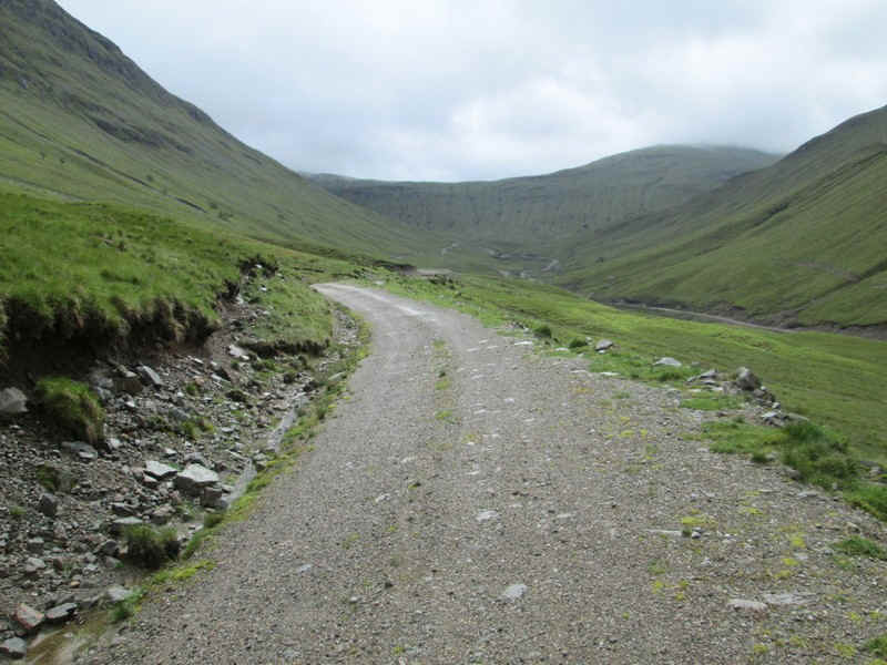
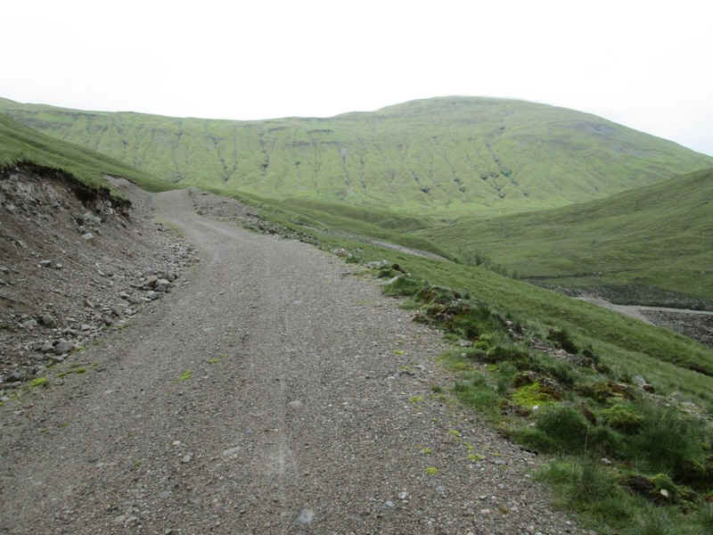
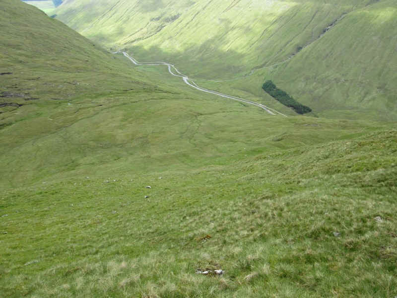
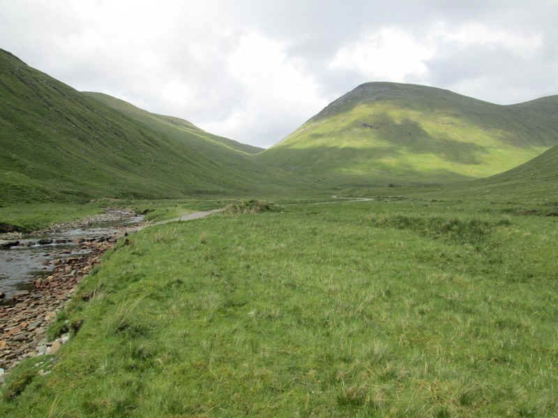
There's a broad vehicle track up Glen Coralan...
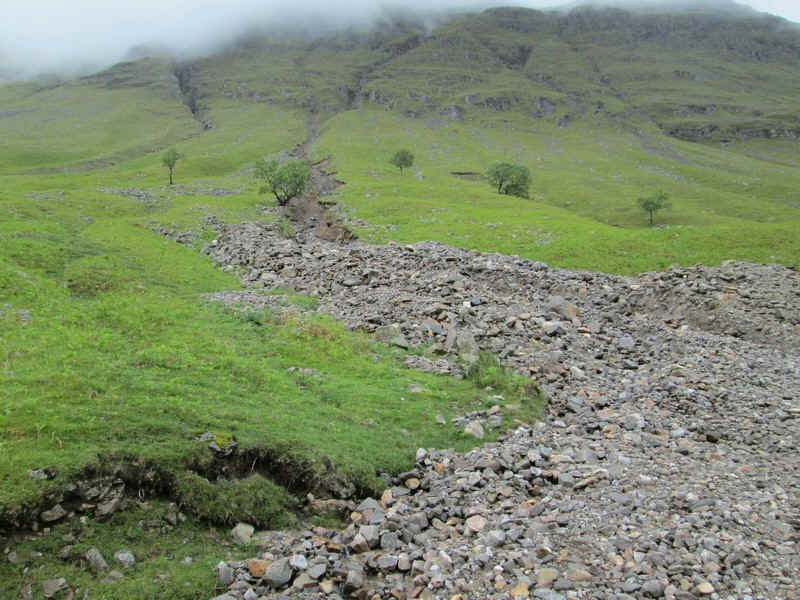
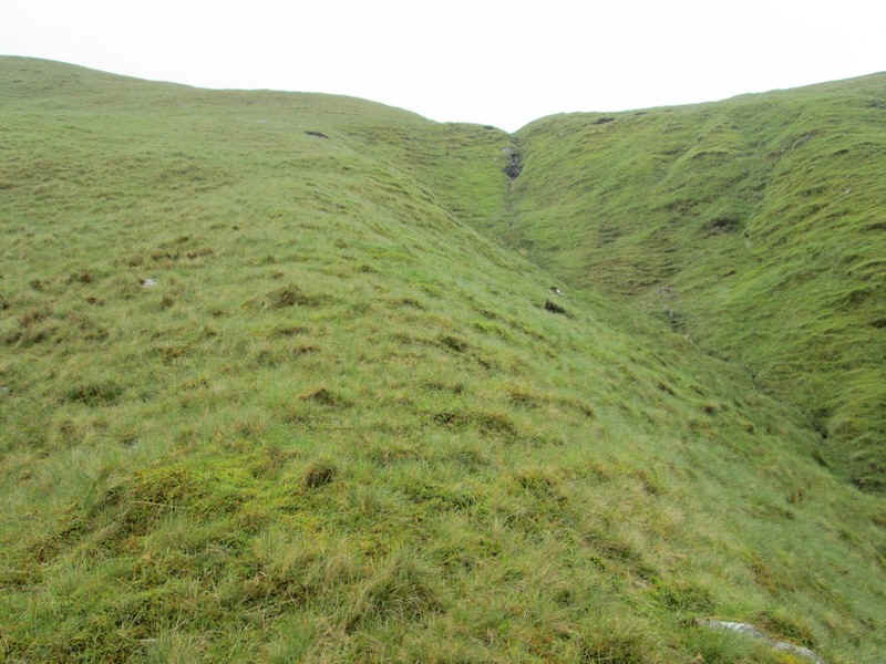
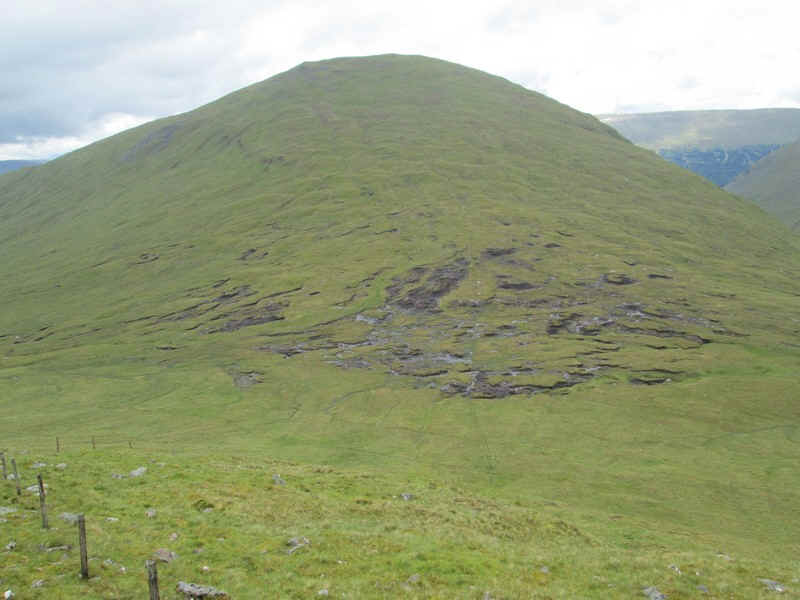
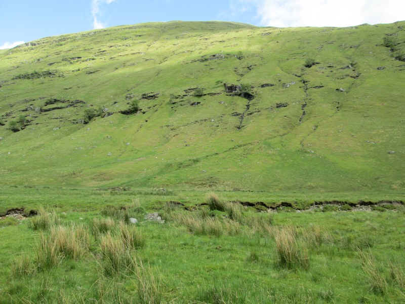
....which passes a dramatic example of recent water erosion.
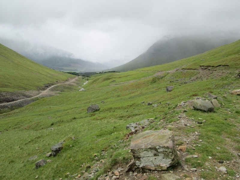
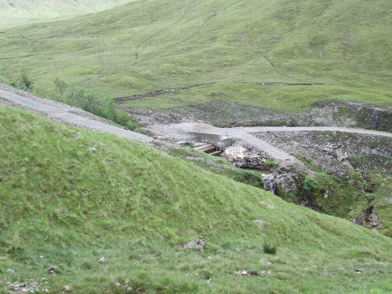
Looking back down the glen the new road on the south side of the stream can be seen. This is to serve a mini hydro electric scheme and hasn't yet appeared on the Ordnance Survey maps.
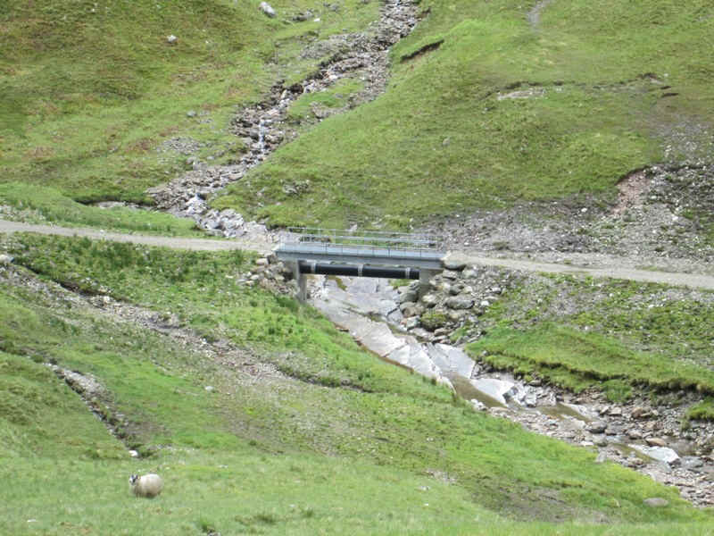
A telephoto shot shows one of the new bridges and the water pipe down to the turbine lower down the valley.
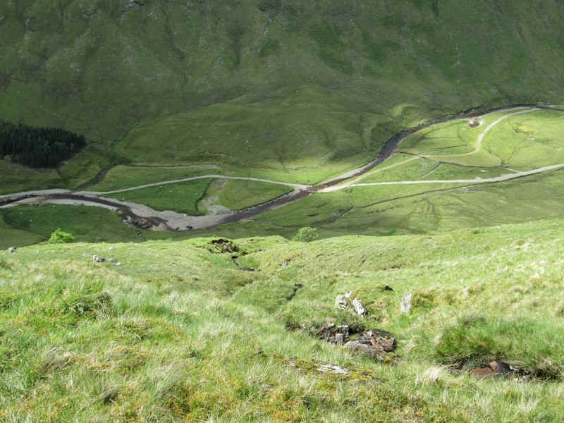
As the track climbs Beinn Chaorach can be seen at the head of the glen.
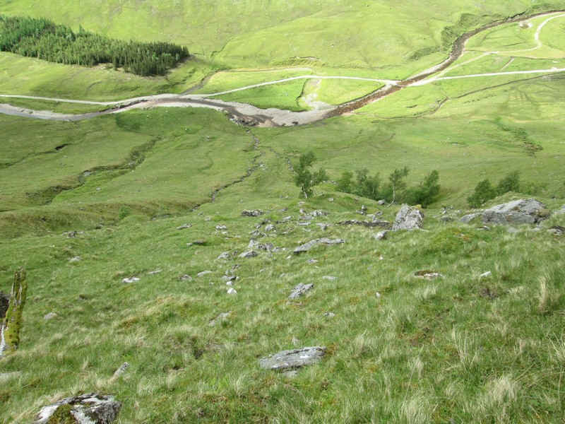
I left the vehicle track at NN349350 and started the steep climb up on to the ridge. Below is more evidence of the Allt Corallan micro HEP scheme.
Whilst the hillside is steep, the way forward has a stream which was a useful "handrail"
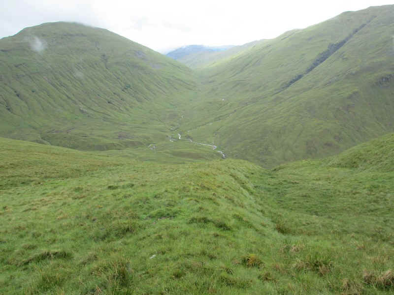
Looking up Gleann Cumhang with Beinn Chaorach (left) and Beinn Odhar (right)
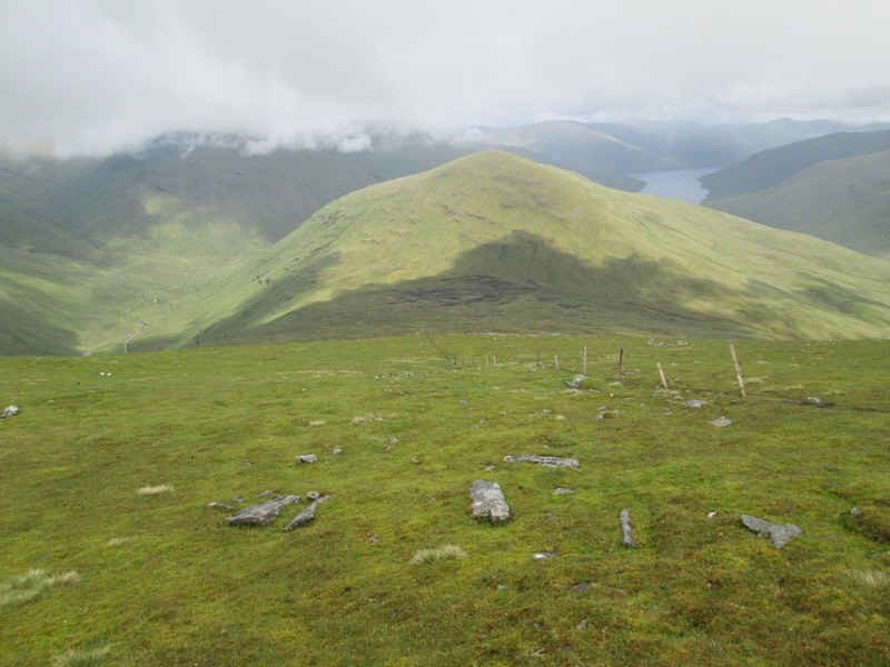
On reaching the ridge of Creagan Liatha (NN353355) Loch Lyon comes into view with the Beinn nam Fuaran (the second of this day's hills) on the left.
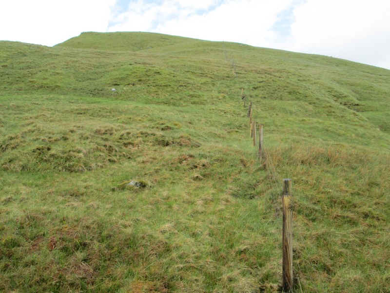
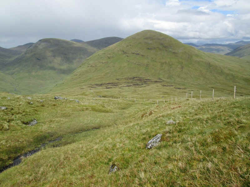
For the next few miles this rather dilapidated fence is followed....
...as it climbs steadily up towards the distant summit of Beinn a'Chaisteil, the day's first objective.
Looking east Carn Chreag is in the centre with cloud covered Beinn Challum to the right.
The summit cairn of Beinn a'Chaisteil is at 886m. Directly above it is Cam Chreag and to the left the Munro Creag Mhor, which I'd hoped to have climbed the day before. Sadly the weather was against me and I'd had to be content with with Cam Chreag.
Looking down from the summit this is a real "helicopter" view with a Mallaig to Glasgow train heading south.
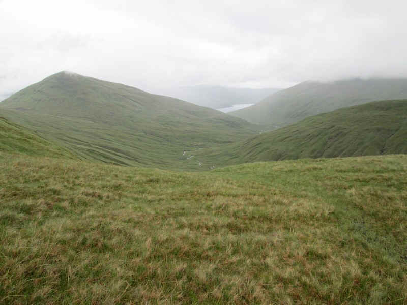
The way to Beinn nam Fuaran is straight down the grassy ridge, but there is clearly a very boggy area at the bealach. Loch Lyon is to the right.
It's an easy walk downhill....
...but crossing the bogs at Mam Lorn tested my patience and I was determined not to have to cross it again on the way back.
This photo is looking back downhill towards Beinn a'Chasteil.
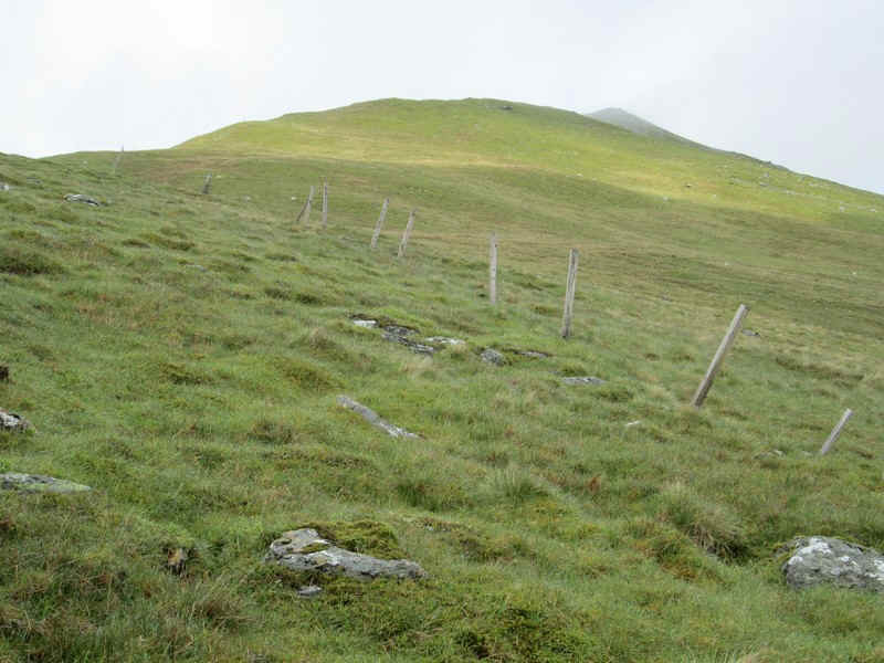
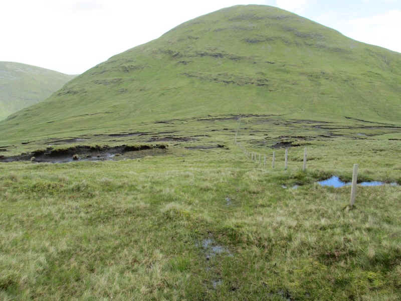
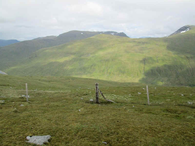
The climb to the next summit is steep but follows the fence posts...
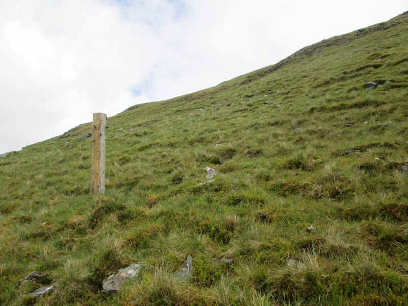
....before they run out at this isolated one.
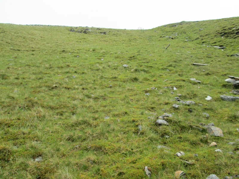
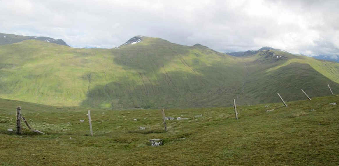
The map shows the fence making a ninety degree turn to the east and the posts reappear.
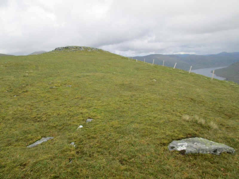
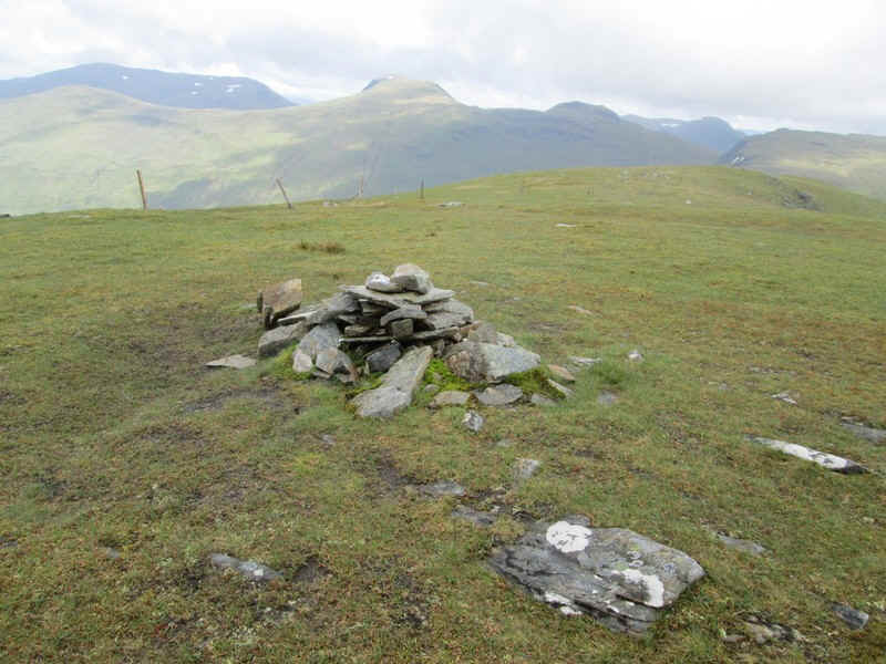
Once on the ridge it was an easy stroll across grass....
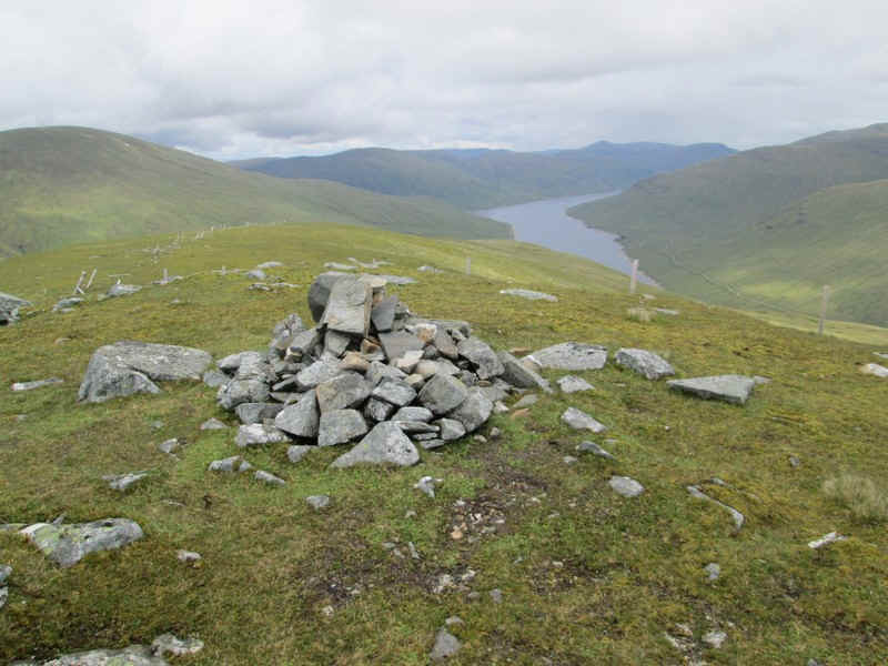
...to the summit cairn of Beinn nam Fuaran with Loch Lyon over to the right.
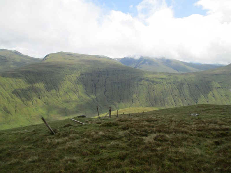
Looking east across the head of Glen Lyon is the Munro Creag Mhor.
To the south east is Cam Chreag and Beinn Chaorach.
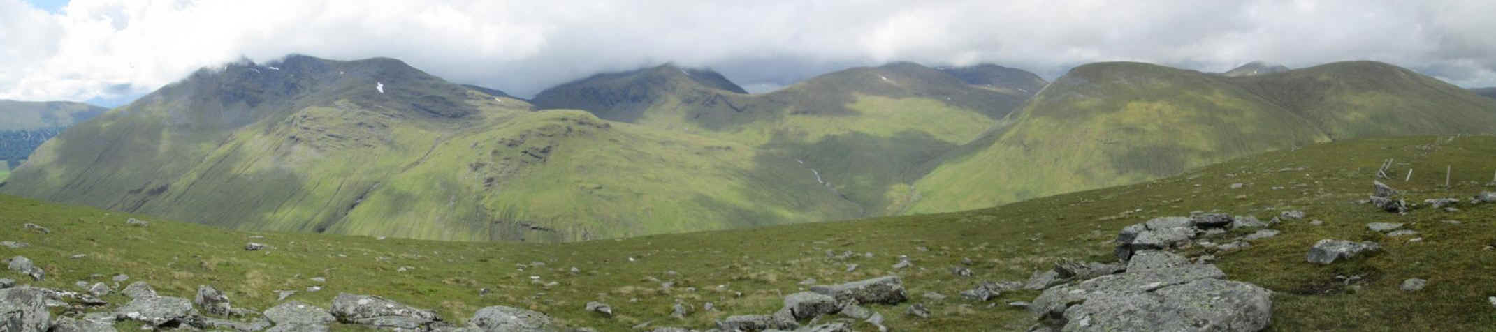
Click on this image to a see a larger panoramic version. This is looking north west across Auch Glen with from left to right Beinn Doran, Beinn Achadair and Beinn Mhannach.
The way downhill into the Auch Glen was straight down the grassy slopes. At first this was quite steep ...
...but the gradient soon became more comfortable and my objective at the river crossing came into view.
There were no problems in descent and I headed downhill by the side of a stream.
Looking down the glen towards Auch
The stepping stones by the side of the access track over the Allt Kinglass were easily crossed as the water level was low. If the river level had been too high I would have had to walk along the east bank until this track re-crossed the river further down the valley.
Looking back uphill to Beinn nam Fuaran.
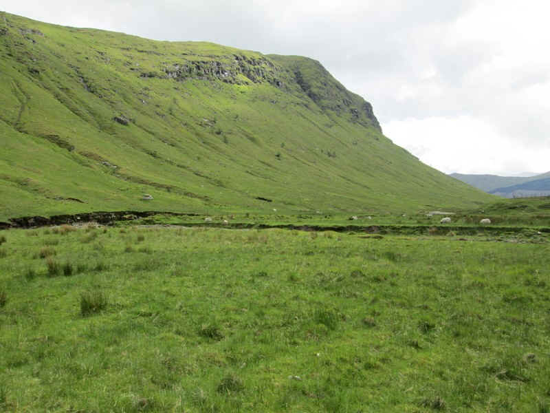
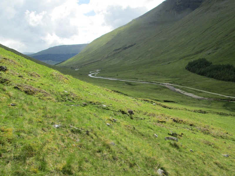
It was now a pleasant early evening's walk back to Tyndrum passing the cliffs of Beinn a'Chasteil....
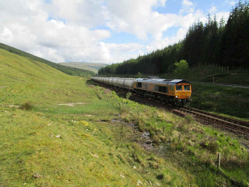
.....and then after passing under the Horseshoe Curve viaduct back on to the West Highland Railway. To my delight, just as I passed over the summit at the county boundary, what should come roaring uphill but the freight train carrying alumina from Lynemouth to the smelter in Fort William. I even got a wave and a toot on the horn from the driver!
The day's walk had taken exactly nine hours.