Beinn Bhan
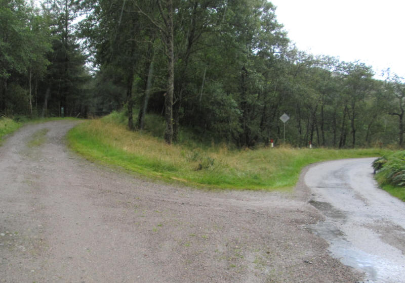
In August 2019 I drove up the single track road up Glen Loy to Inverskilavulin bridge where there is a marked parking place at the beginning of a forest road.
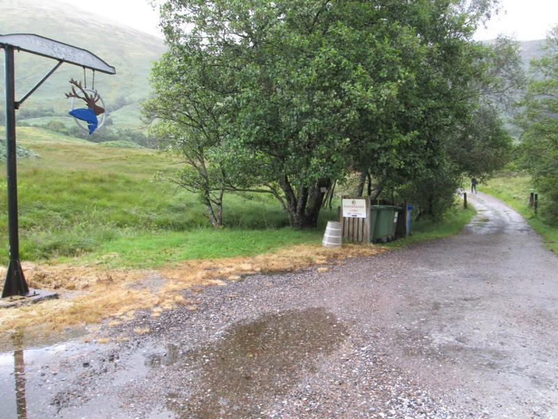
Once over the bridge the way to the hill is up the drive to the lodges. The curious gibbet with a stags head is a somewhat ghoulish sight!
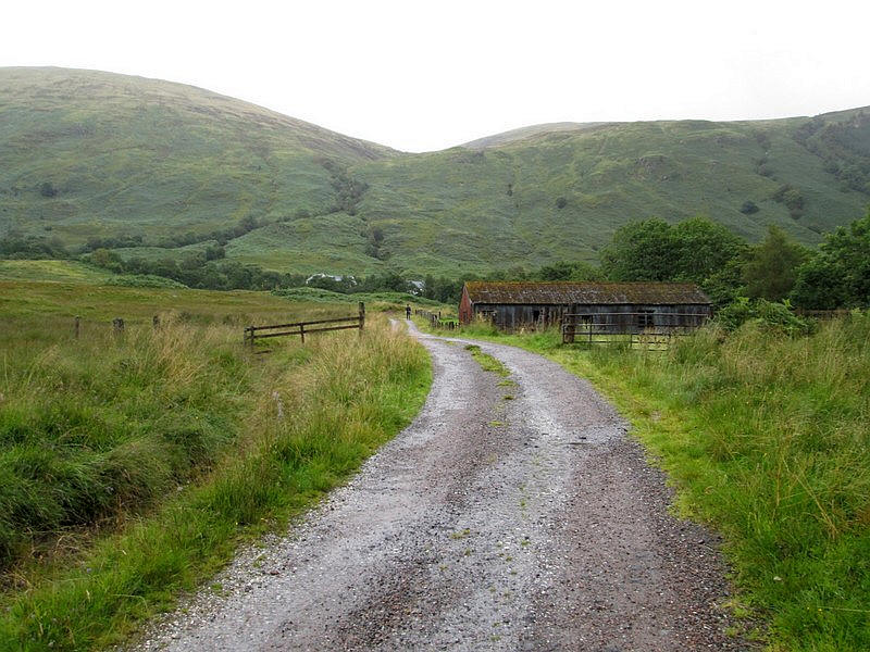
Directly ahead on the skyline is the dip at the entrance to Coire Mhuilinn with the lower slopes of Beinn Bhan just visble to the right.
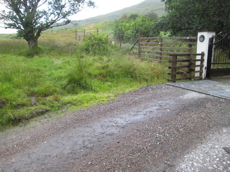
At the entrance to the fenced area around the lodges a sign directs walkers around the western side....
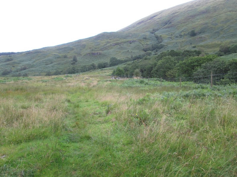
....where there is a track....
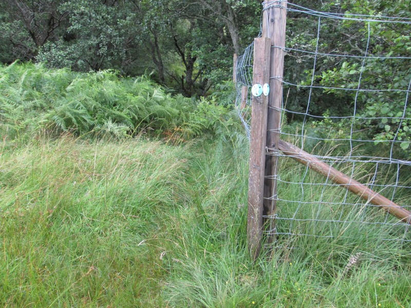
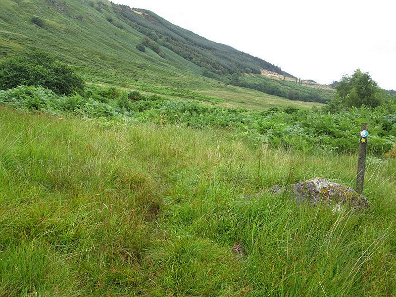
...which splits at a waymark on the fence. Straight ahead leads towards the western side of the corrie but...
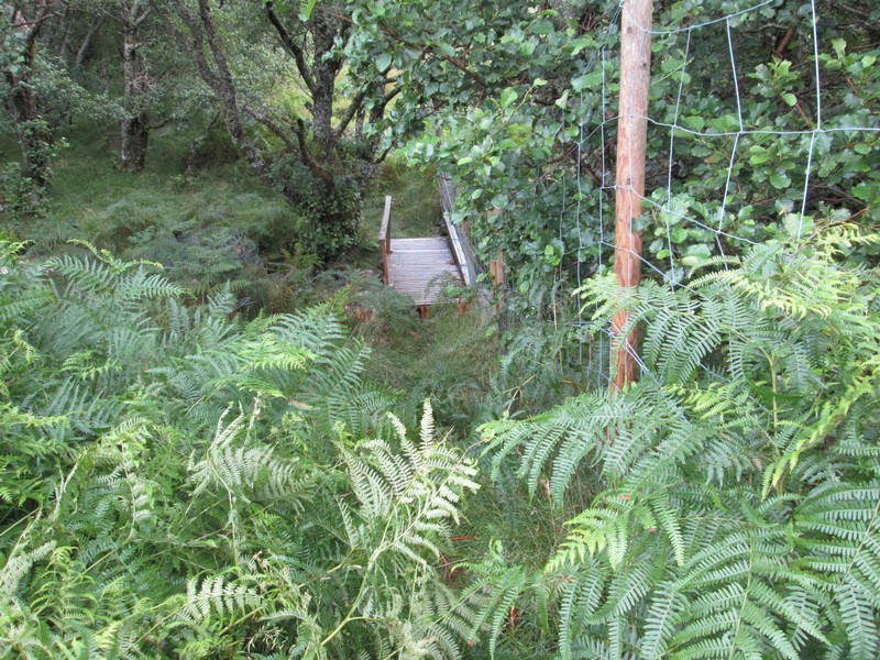
....I decided that I would go directly to the main summit so dropped down to cross the footbridge over....
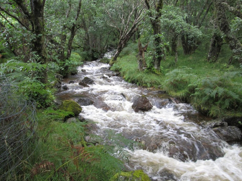
......Allt Coire Mhulinn which, after the heavy rain of recent weeks, was in spate.
Beyond the bridge a faint path continues with waymarks but....
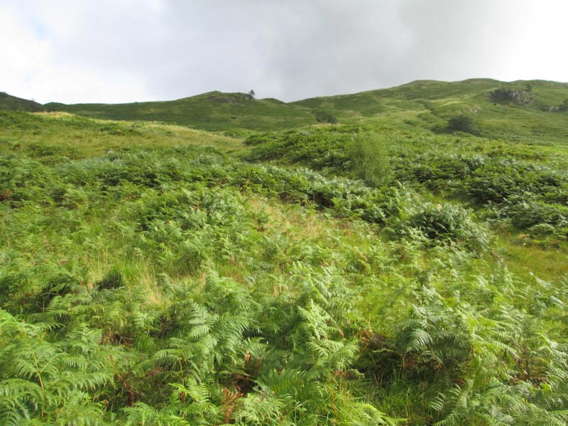
....soon encounters dense bracken and becomes very difficult to follow.
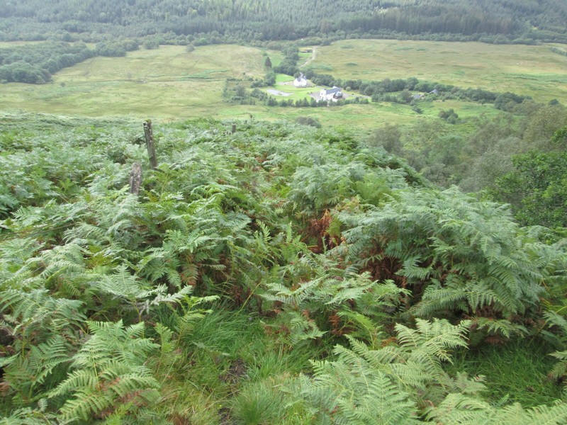
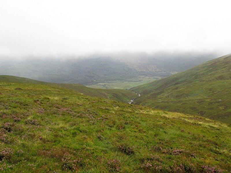
Looking back downhill across Glen Loy.
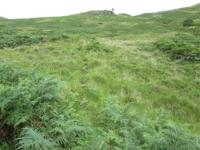
There are sections of path through the bracken but sometimes these are obviously made by deer rather than humans. When the track disappeared it was simply a case of finding a way uphill.
Eventually I found a slightly better track near a broken down fence...
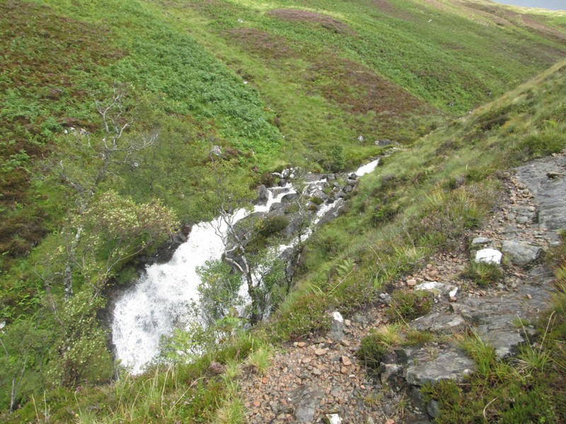
....and as it climbed above the torrent that was the Allt Coire Mhulinn the track improved.
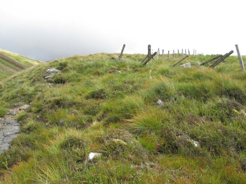
Eventually the edge of the corrie was reached at about NN 129841 where the fence makes a sharp bend.
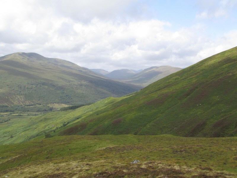
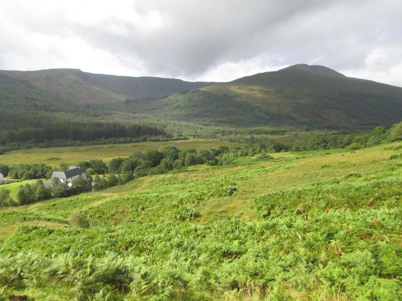
Looking up Glen Loy to Druim Fhada (744m) and beyond to the watershed between Glen Loy and the top of Gleann Suileag.
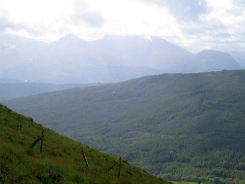
Over to the south is Carn Mor Dearg to its right Ben Nevis which is cloud capped.
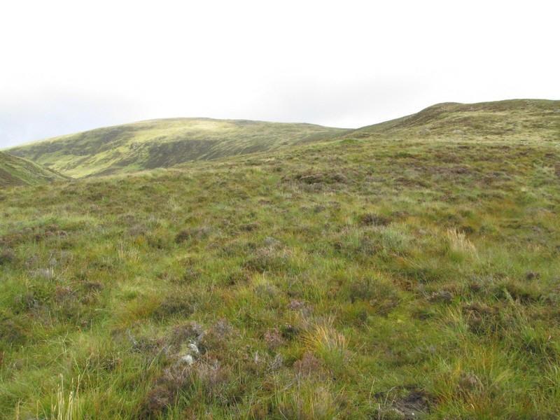
Once above the fence line there is a very faint path for a short distance but then it's easy walking over grass for almost all over the climb.
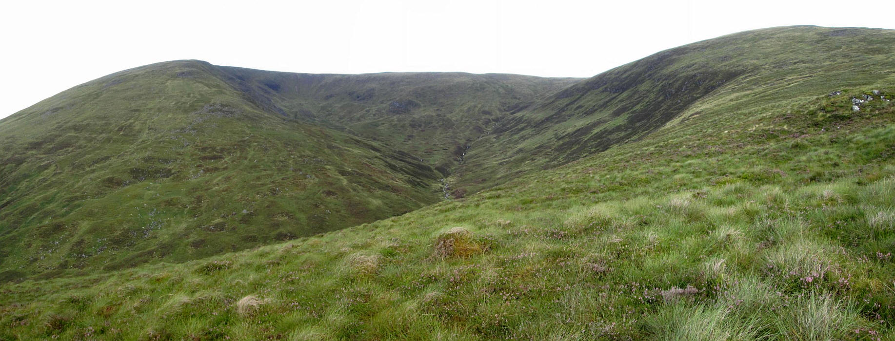
The superb Coire Mhulinn was what I wanted to see on this walk and fortunately the cloud remained above the ridge line for most of the time. I'd originally intended to walk around the corrie and drop down on the west side but had read bad reports about the bracken and knew that low cloud was on the way and would block views so in the end I was content to do an out and back walk.
Click on the photo to see a larger panoramic view.
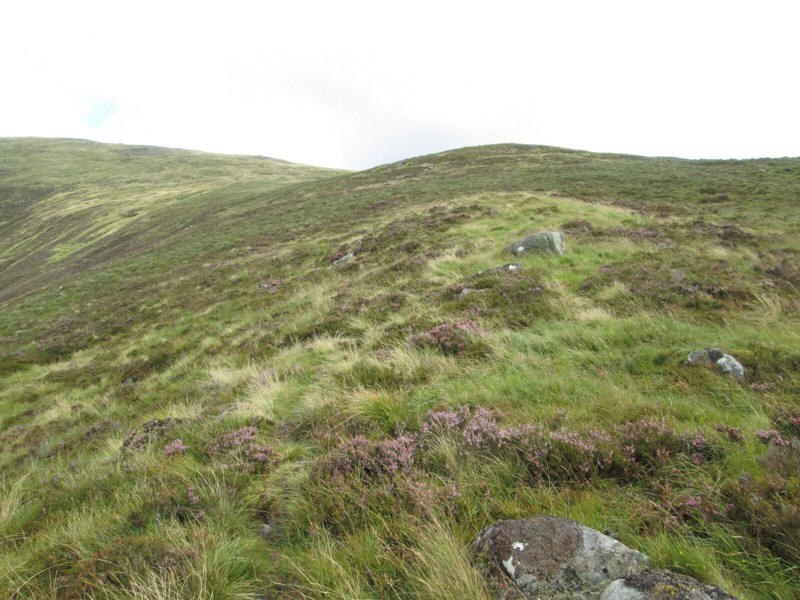
The ridge climbs gently with heather in places...
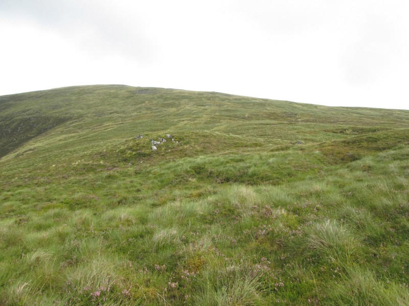
...but is mainly grass covered
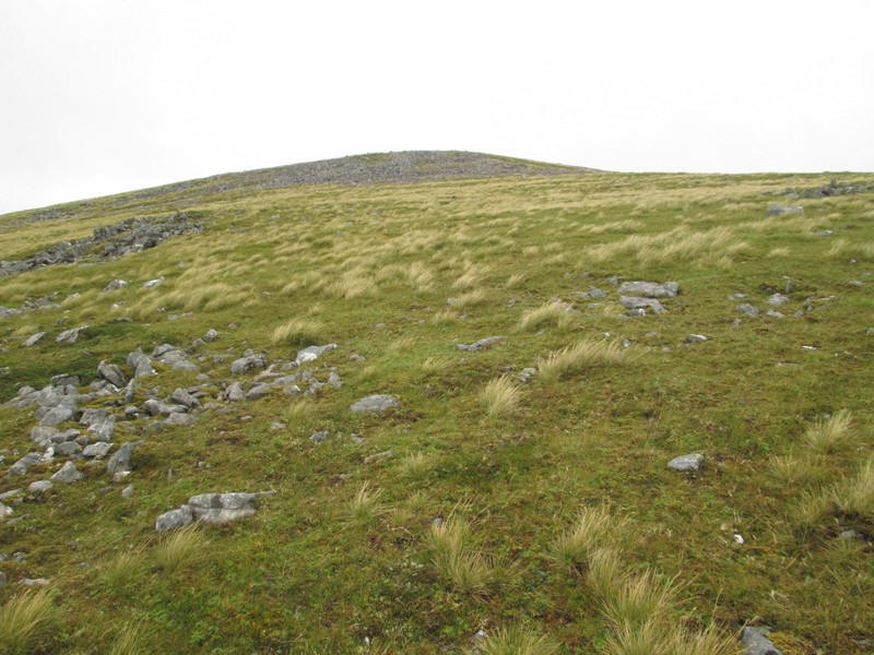
There's a section with a small area of stones...
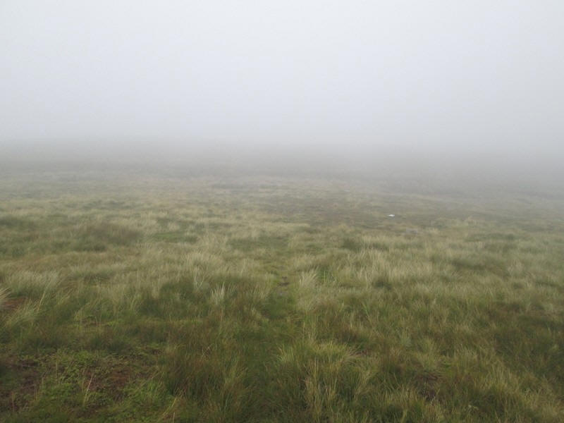
....and then at about the 790m contour the almost flat summit plateau is reached. As can be seen the cloud has descended..
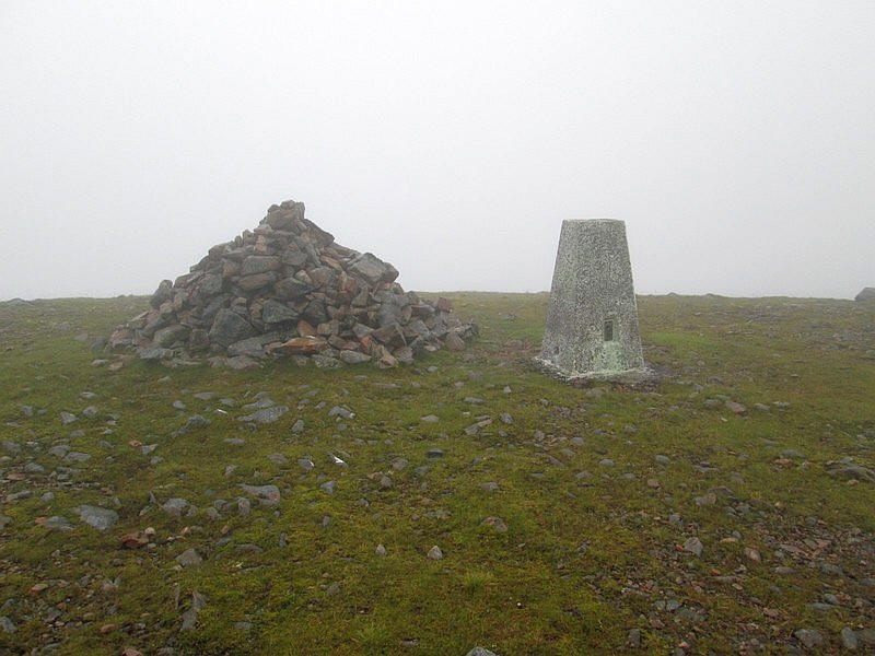
....and I have no view at all from the summit. It had taken just 2 hours and 40 minutes from the start which was longer than expected, mainly due to the problems climbing through the bracken.
A final view on the descent just below the cloud with the Allt Coire Mhulinnin the centre.