Beinn Bhreac-liath
For what I expect will be my last Scottish hill walk of 2020 I decided to attempt to climb Beinn Bhreach-liath and Beinn Udlaidh south of Bridge of Orchy.
I took the 06:45 Citylink bus from Glasgow and returned on the 18:58 train giving me 9 hours at Bridge of Orchy.
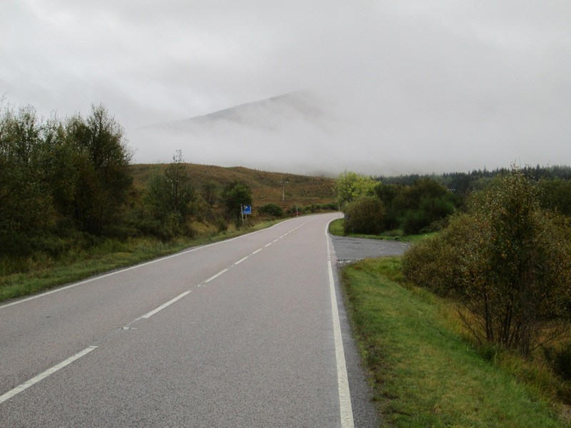
There's a two and a half mile warm up to the start of the hill walk at Invergaunan. Initially it's a verge walk along the A82 which, not surprisingly during the Covid pandemic, was relatively quiet.
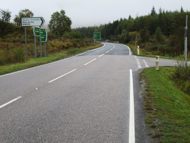
After about half a mile the the road from Glen Orchy turns off....
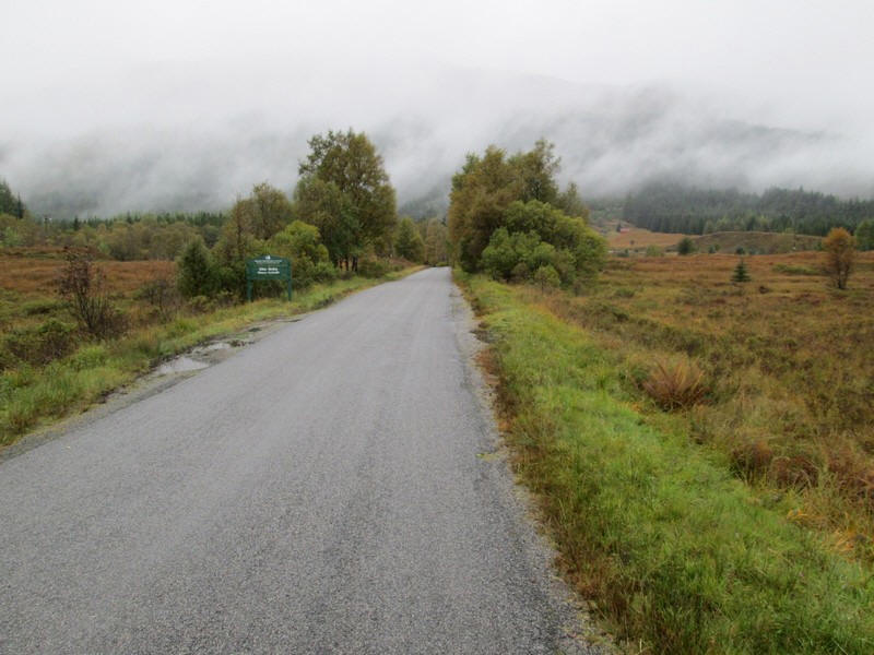
....and is really pleasant to walk along.
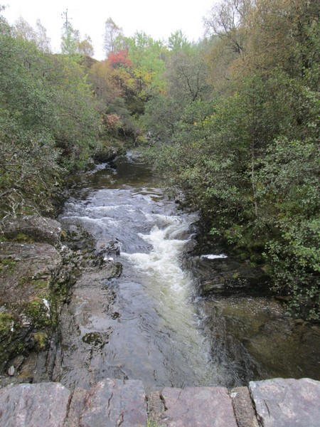
The road crosses the Allt Kinglass just before it joins the River Orchy.
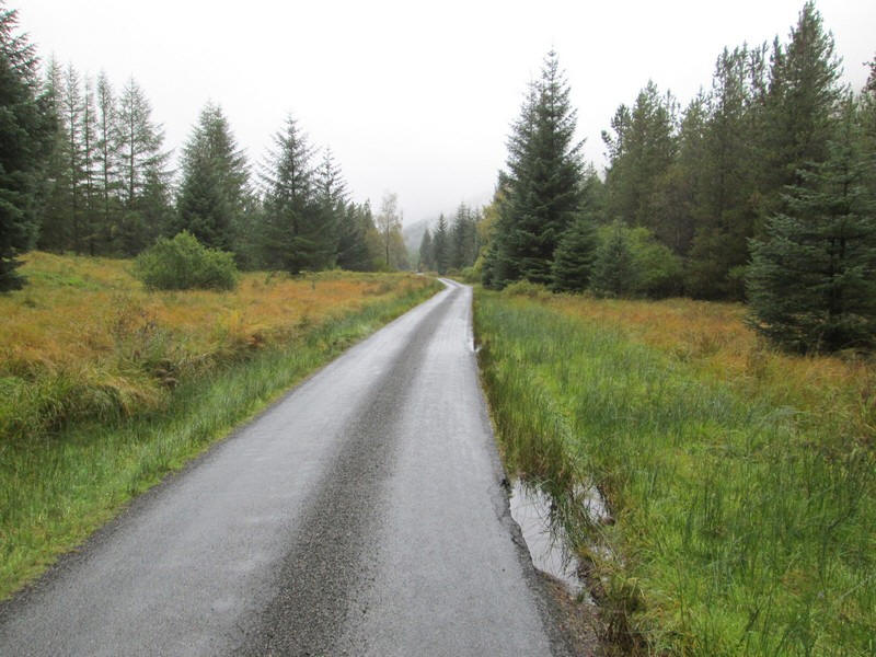
The walk is a pleasant one and allows you to get warmed up nicely.
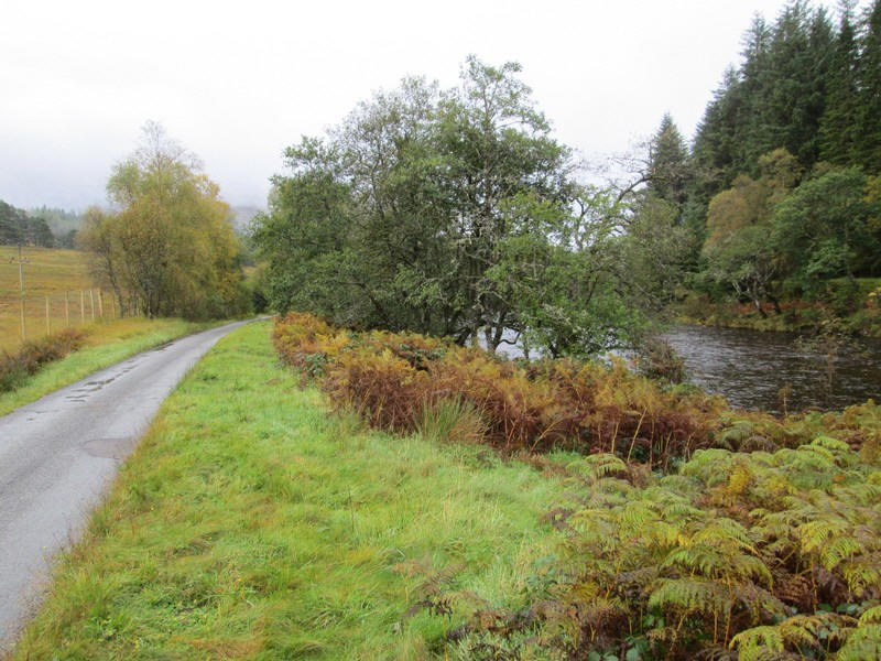
The River Orchy is a constant companion and was very high after recent heavy rain.
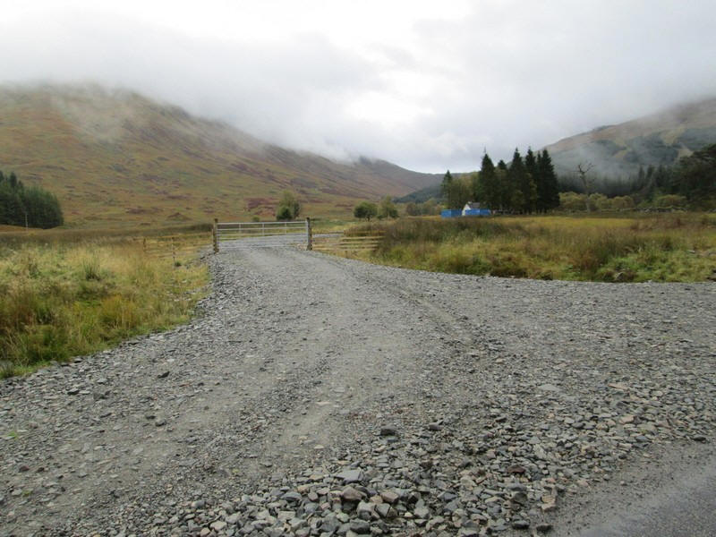
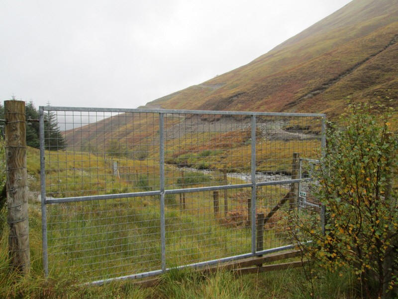
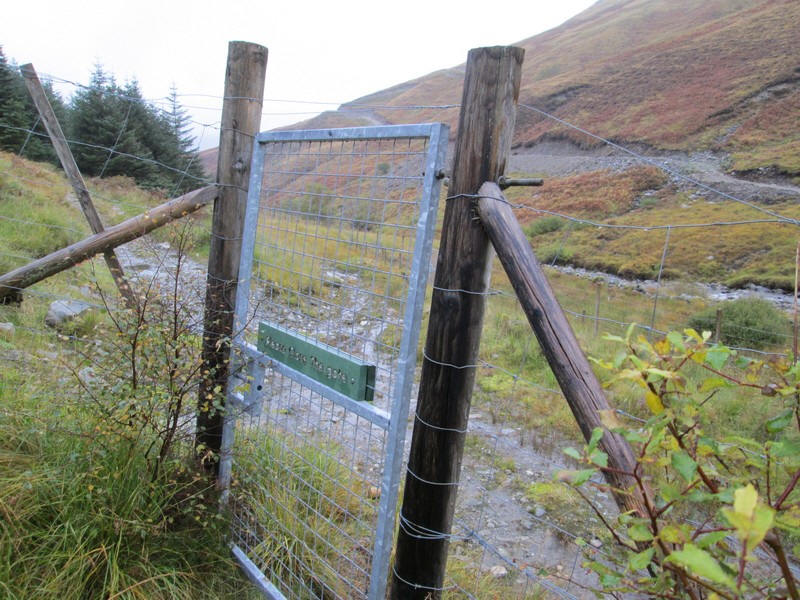
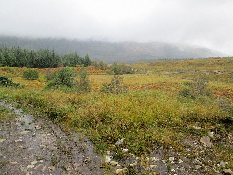
At Invergaunan the hill walk starts by going through the gate...
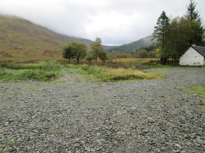
....and past an uninhabited cottage. Ahead is the bealach between Beinn Bhreac-liath (on the left) and Beinn Udlaidh (on the right).
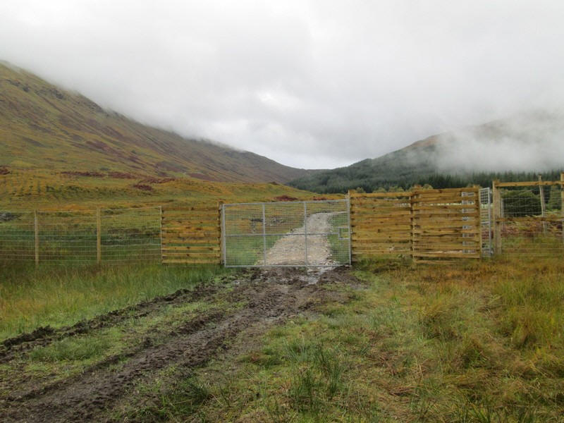
The track soon comes to a deer fence with a pedestrian gate. Beyond, the track has been resurfaced and now extends right up the glen on the east side of the Allt Ghamhnain almost to Coire Ghamhmain. - presuambly this is for use in the stalking season. It is not shown on the current OS maps.
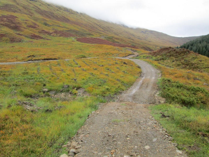
Rather than start the climb up Beinn Bhreac-liath straightaway from the gate as planned, I decided to follow the new track to gain a little height more easily. After a few hundred metres I came to a junction with another resurfaced vehicle track which appears to follow the course of the stalker's path shown on the 1:25000 maps.
This heads up to end of the ridge of Beinn Bhreac-liath until it reaches a ford at about NN 2866363. This was one of the waymarks I'd entered in my GPS so I was glad I'd followed the vehicle tracks as I'd gained over 60 metres in ascent with very little effort.
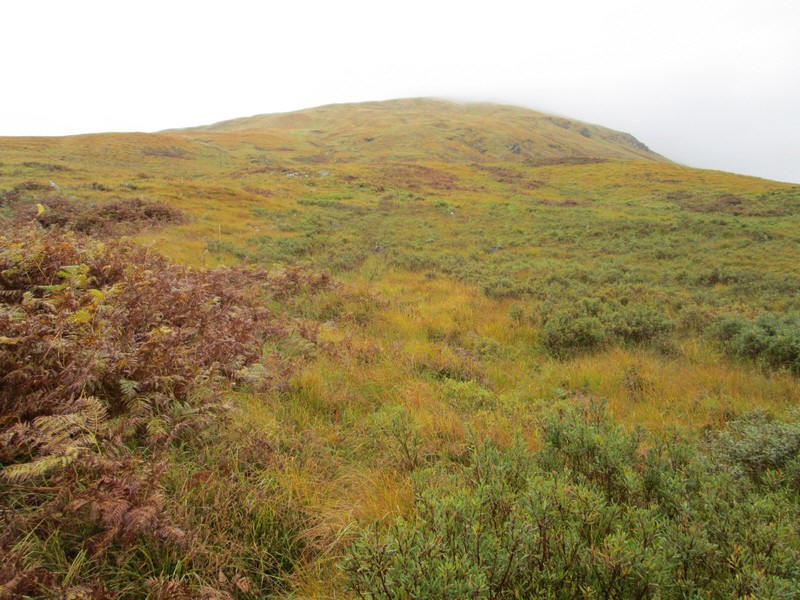
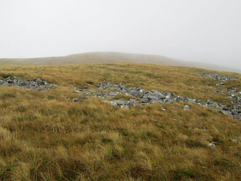
Here the hard work started - the north west ridge of the hill is steep with an overall gradient of about 1 in 2.6 and one that I feel is better climbed rather than descended. It's all on grass but of course there is no path.
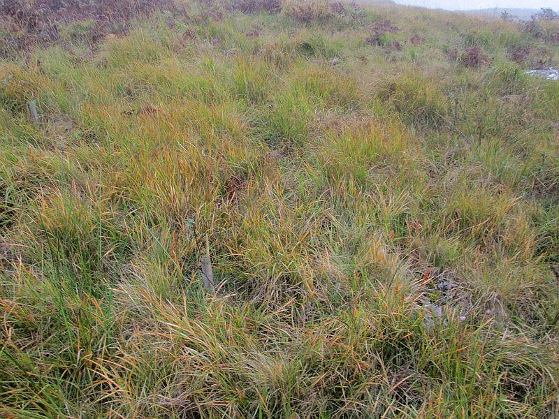
Strangely there appears to be a "line" of tree seedlings that have been plated recently which extends for a considerable distance up the ridge.
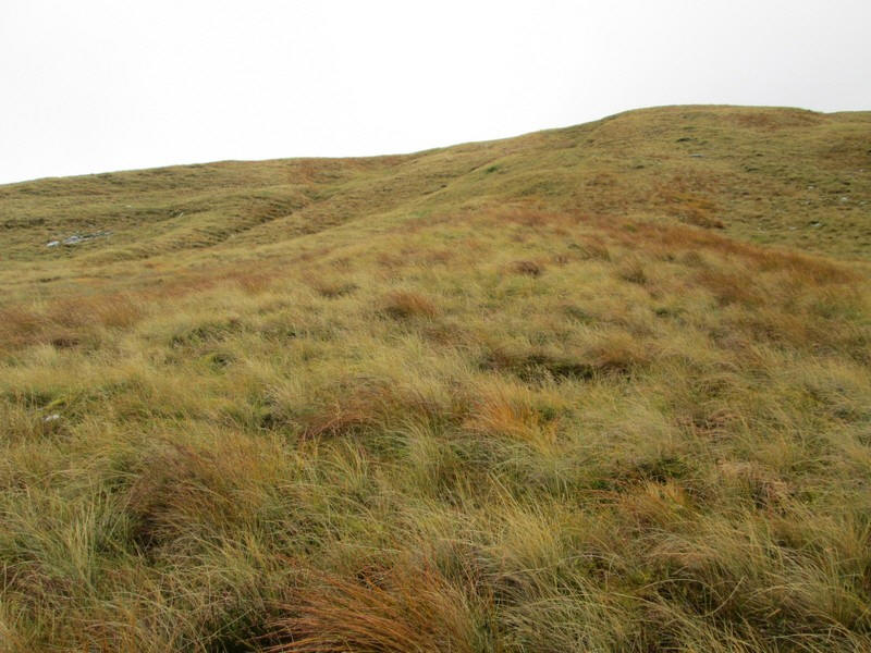
There's not a lot to say about the climb....
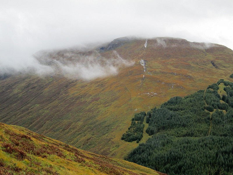
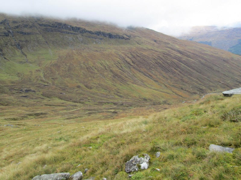
...but there were views of the quarzite outcrops on Beinn Udlaidh....
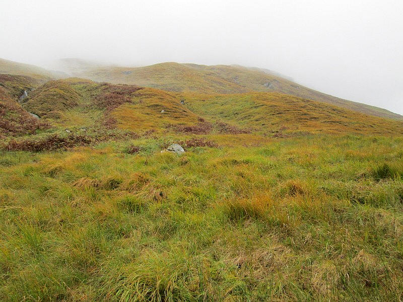
....and back into Glen Orchy. Drainage channels appear to have been cut into parts of the hillside - is that preparation for planting trees?
note : These are actually a series of mounds which are formed by scooping out soil to make piles of drier earth into which the seedlings are planted and can grow. Once the seedlings grow they can tolerate wetter conditions and the roots spread into the wetter ground around them.
The climb is pretty relentless and for once I broke my rule of having a break half way up a hill and eating a sandwich. I had been up since quarter to six and that was five hours earlier!
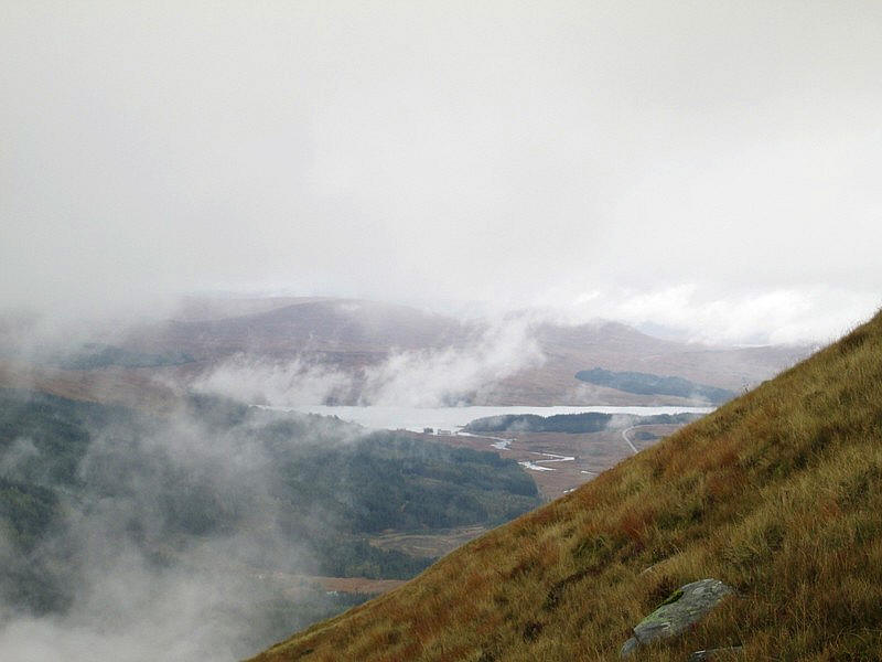
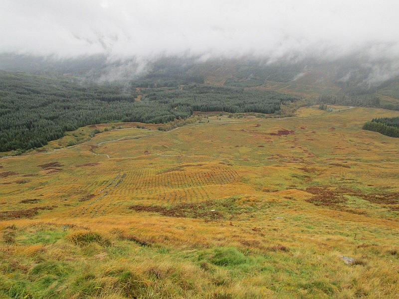
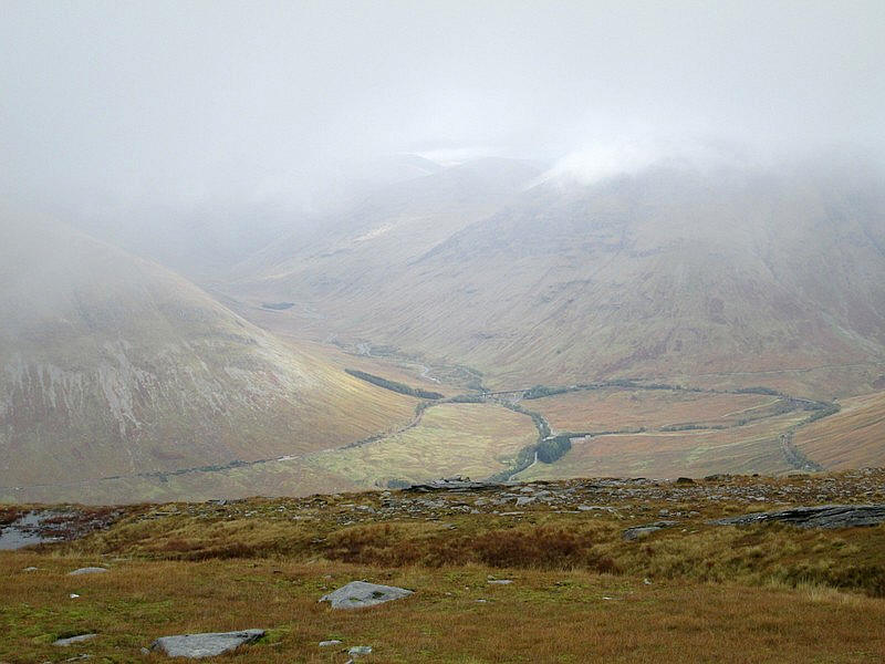
Over to the north is Loch Tulla with the River Orchy meandering out of it. The steepness of the hillside is evident.....
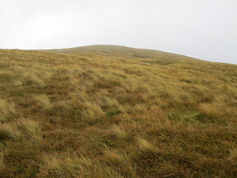
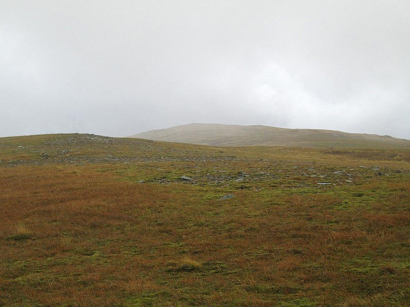
Eventually, the gradient eases a little.
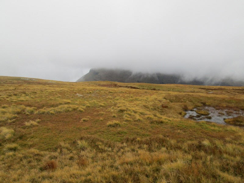
The summit of Beinn Udlaidh remained under cloud all day. Click on this photo to see a larger image.
Higher up there are areas of exposed rock ....
.....but it's still mainly grass.
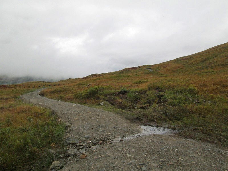
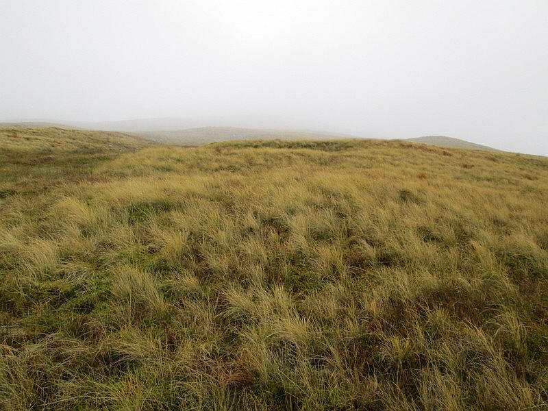
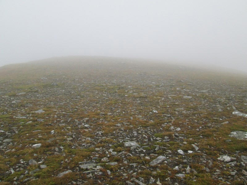
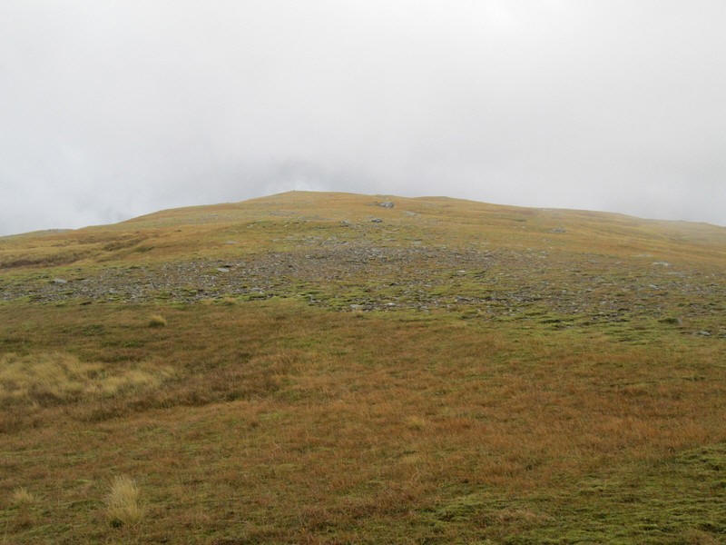
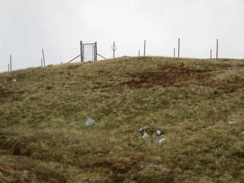
At about the 776 metre spoty height the ridge levels out and narrows to a few hundred metres across. I was looking forward to an easy walk for the next kilometre and a half to the summit when....
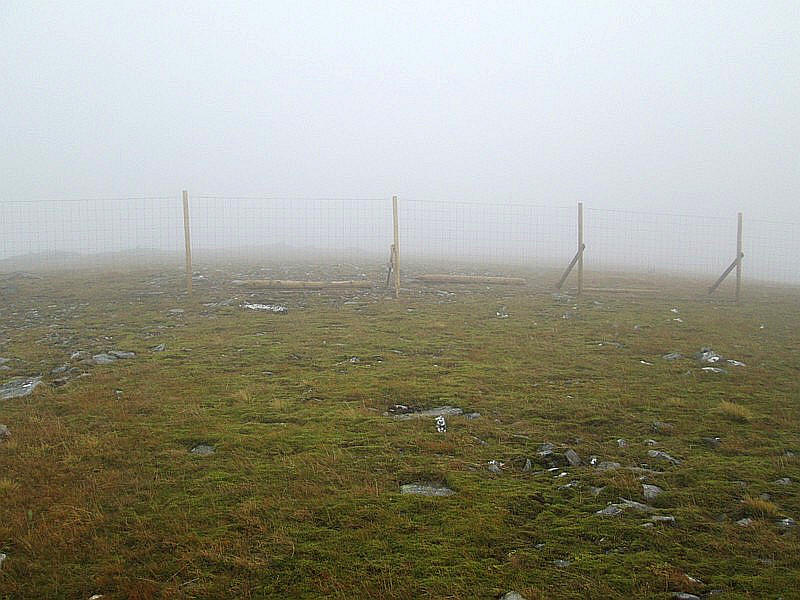
....out of the mist loomed a new seven feet high deer fence. Unbelievably, despite lots of timber lying around, there was no gate or style over the fence. Hopefully one will be provided eventually. Does this estate not like hill walkers I wonder? Fortunately two of the posts had triangular bracing on both sides so I was able to use these to heave myself up and over the fence.
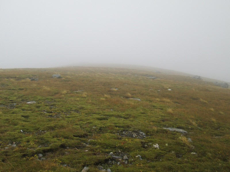
Once over the fence it was along the stoney ground which rises slowly....
....with the summit visible in the distance as the mist clears slightly.
Over to the west there's a good view of that quarzite outcrop.
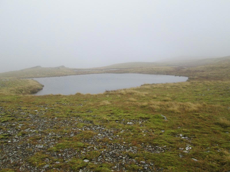
There are a couple of small lochans just before the summit....
....which is now in view.
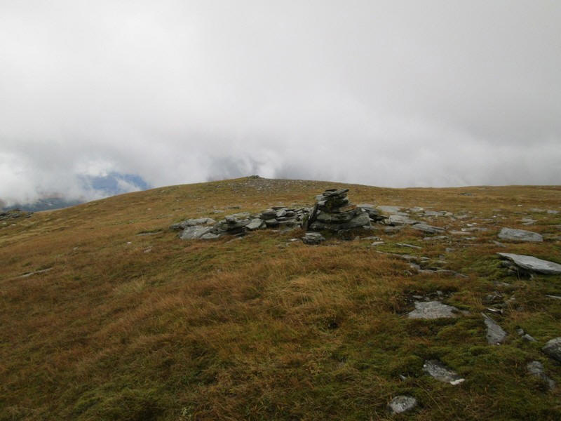
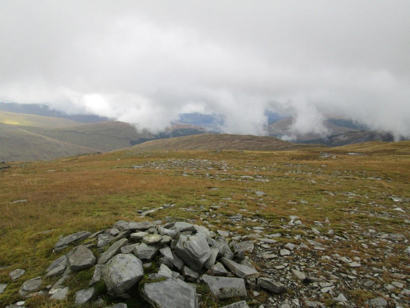
There's a small cairn although I also wander a little further to another pile which might just be higher.
There are some views from the summit. Directly above the lochan is Beinn Odhar and to its right is Ben Challum.
Looking down to the Horseshoe Curve on the West Highland Line with Ben Dorain on the left and Beinn a'Chaistel to tthe right of the viaduct.
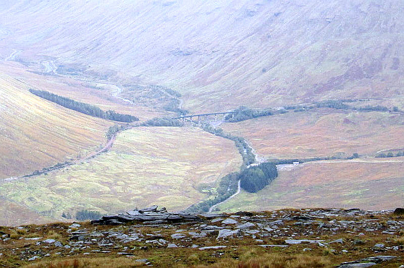
A zoomed in view of the railway viaduct.
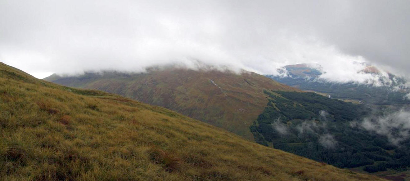
Looking south down over Beinn Bheag towards Tyndrum.
The climb from the road had taken longer than expected - nearly 3 hours rather than the two I'd expected so I had already decided that I wasn't going to climb Beinn Udlaidh. I was looking forward to a good meal at the Bridge of Orchy Hotel before my train back to Glasgow and needed to be back at Bridge of Orchy by 17:30. I didn't want to go down the way I'd climbed the hill as it was so steep and slippery on the grass so I decided to go back down the glen from the bealach.
I didn't stay long on the summit and headed down to the bealach between the two hills.
Initially it is a gentle drop but then it's necessary to work you way around some small crags, but still on grass.
Having experienced climbing over one deer fence I looked very carefully to see where they went - it looked alright but in the end I had to climb another one!
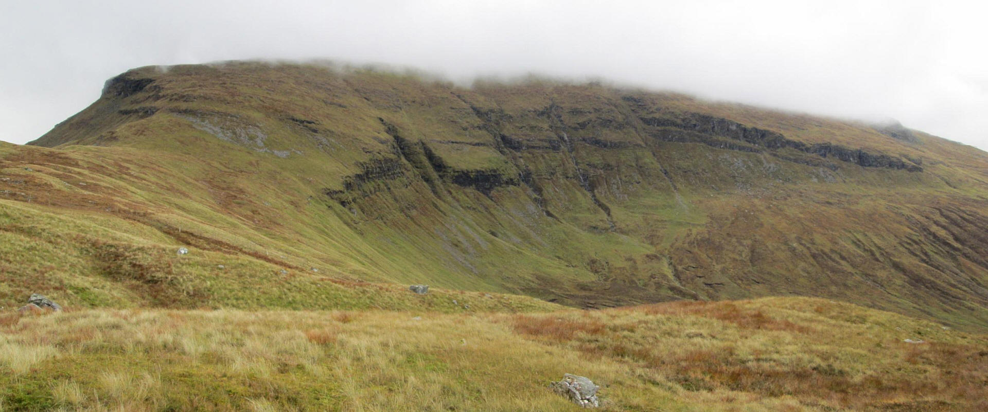
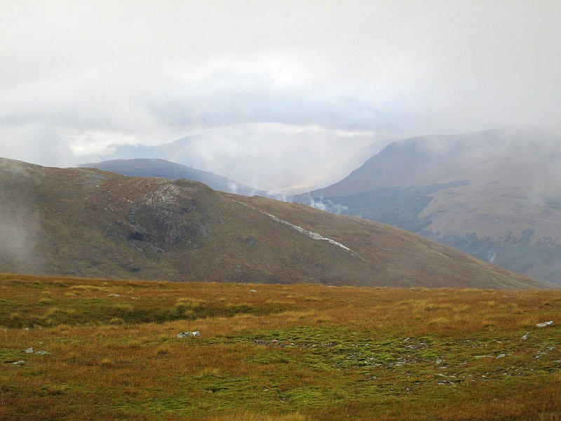
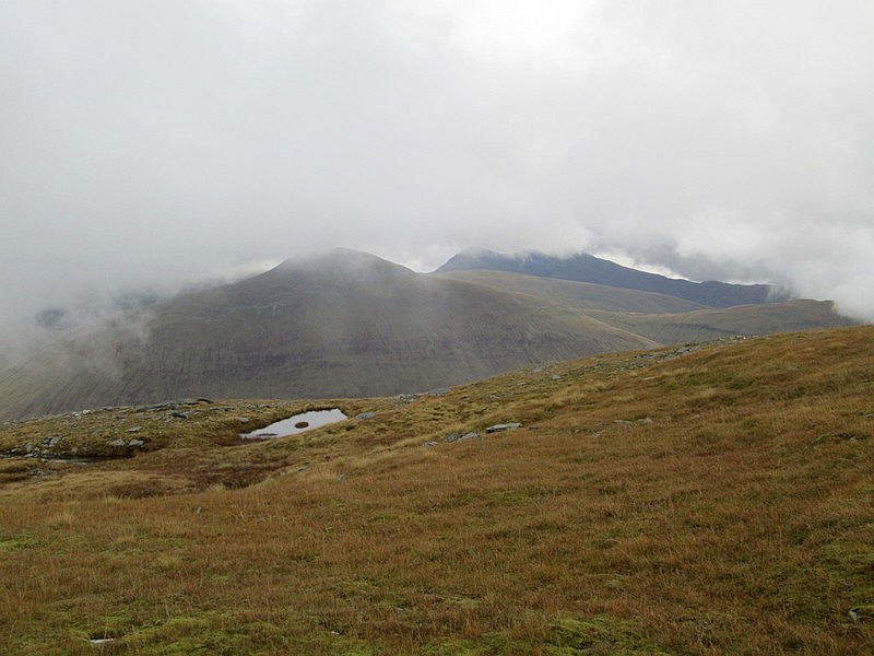
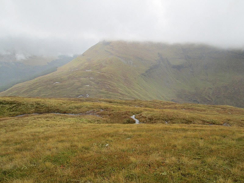
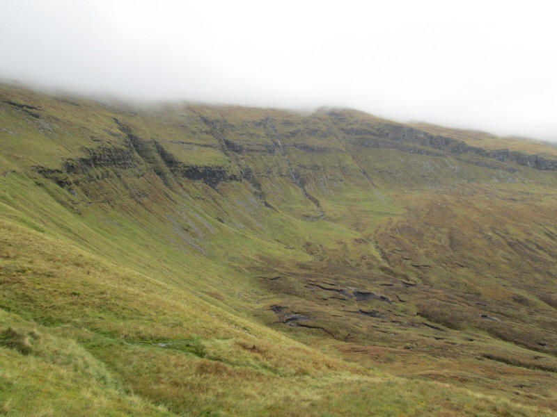
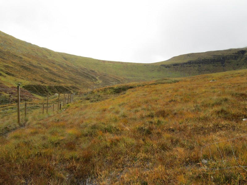
The cloud on Beinn Udlaidh showed no sign of clearing but this photo shows the impressive cliffs above Coire Ghamhnain. Click on the photo for a larger image.
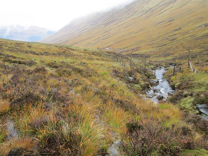
At the bealach I went through the gate and....
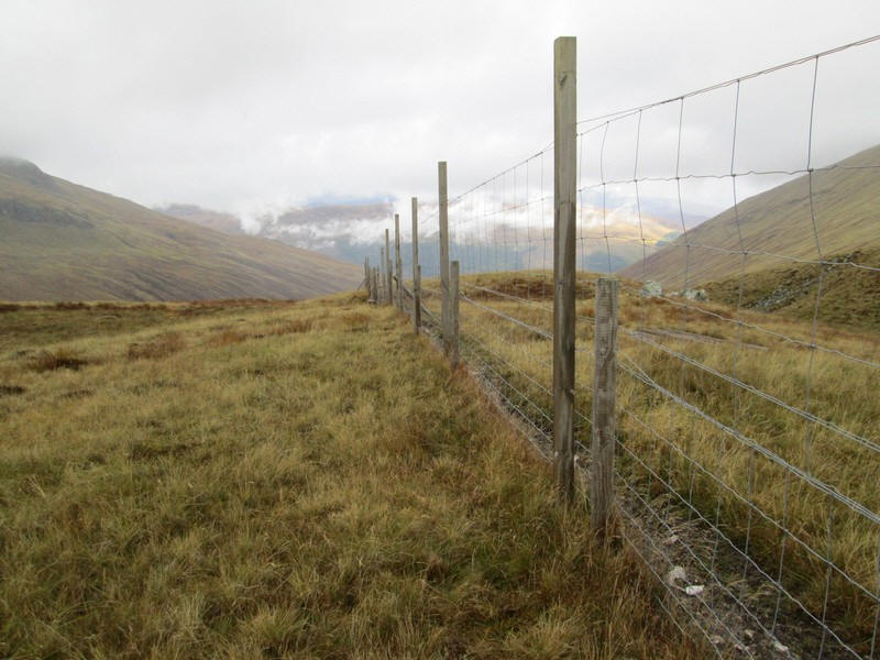
....decided to stay on the west side of the fence.
I could hear a stag roaring in the corrie but couldn't see it.
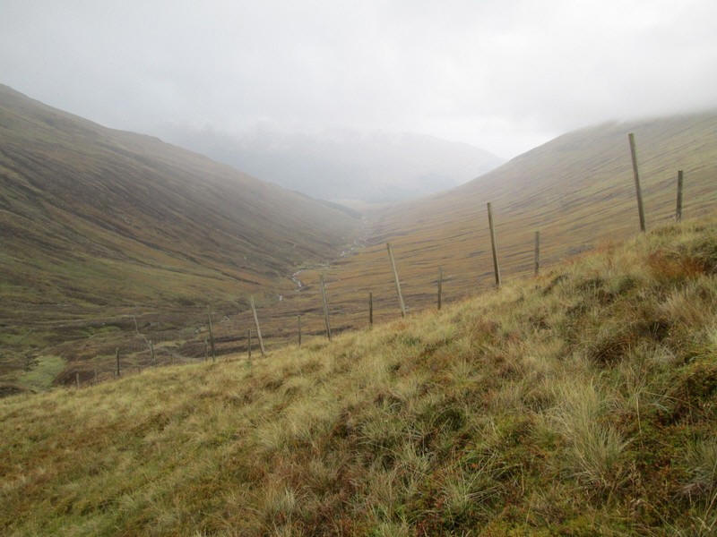
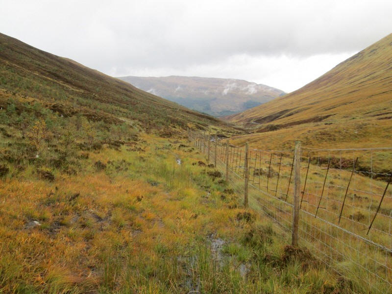
I dropped down the steep headwall of the corrie following the fence...
...and crossed over the main stream from the corrie with no problems.
Across the glen the newly built vehicle track can be seen although a small section hadn't been completed.
Looking back to the bealach.
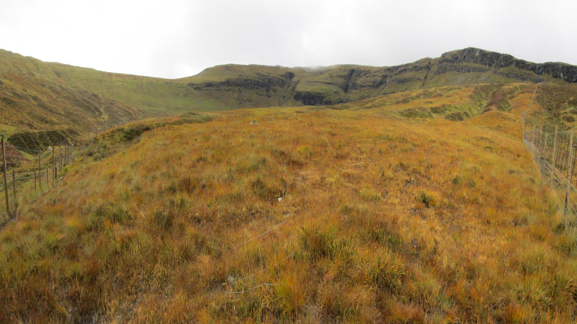
It was here that I had to climb another fence as one coming down the hillside barred the way. The photo above has been made from four images joined together and then adjusted to give the impression of standing in the corner between the fences. Click on the image to see it larger.
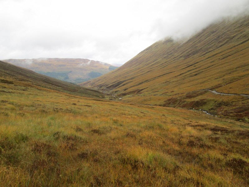
Once over the fence I could see the beginning of the old track down the glen in the distance...
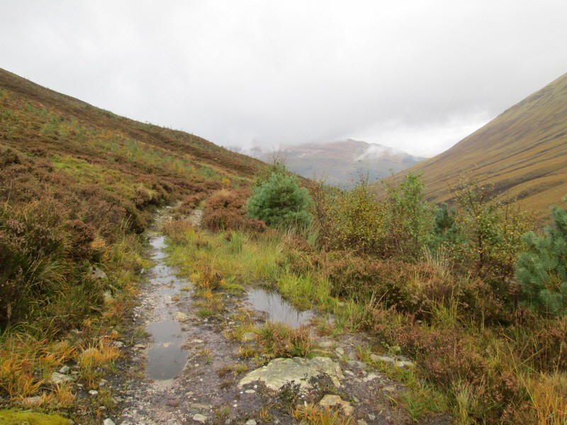
...and this ran all the way back to the road.
At first I thought this locked gate would mean I had to climb again but fortunately....
.....just around the corner was a gate.
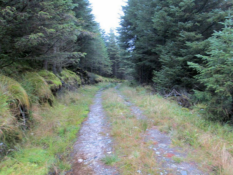
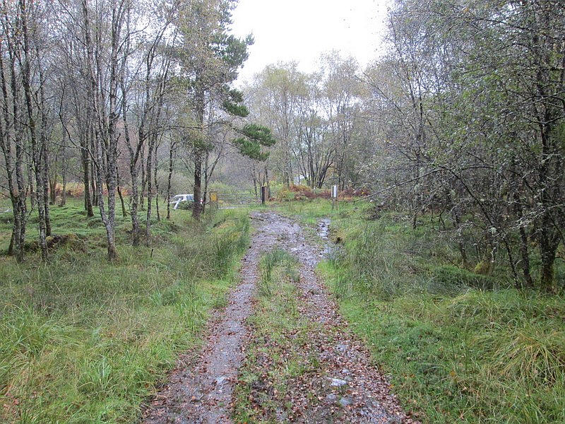
Once in the forest the track improved considerably...
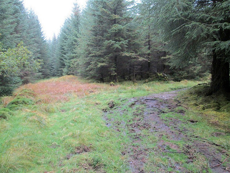
....but it suddenly bends right to avoid an old boggy area.
The track skirts the foresty with the new vehicle track visible across the Allt Ghanhnain.
The track ends at a gate by the road. It's another hour's walk back to Bridge of Orchy and yes, the meal lived up to expectations!