Beinn Bhuidhe
The way points on this map are taken from my GPS Spot tracker. You can make the map bigger or alter its appearance by clicking on the controls.
Beinn Bhuidhe has a bit of a reputation as being somewhat inaccessible compared to many of the Munros in the Southern Highlands and requires quite a long walk in (and out) of over 7km before taking to the hillside..
Using public transport I made the walk in even longer. as the nearest Citylink bus stop is at Cairndow, about 2km south west of the normal starting point.
In May 2011 I arrived at Cairndow on the 08:30 Glasgow to Oban bus just after ten o'clock. I didn't ask the driver to drop me off near the head of Loch Fyne, as the road is on a bend and it's clearly not safe to stop there. However, the bus will drop you off/ pick you up at the Loch Fyne Oyster bar near Clachan Farm and this is slightly closer to the normal starting point.
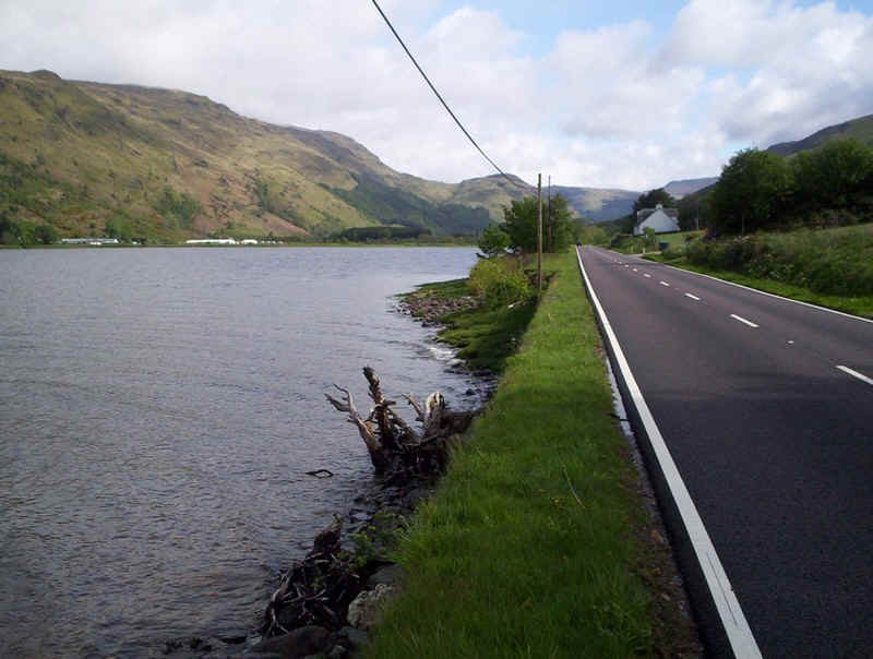
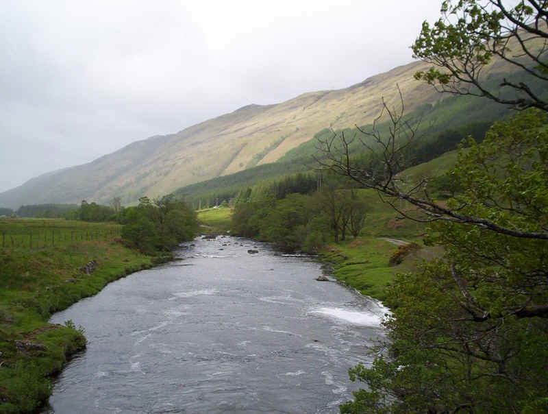
The walk along the A 83 is by the side of Loch Fyne and is on a broad verge the entire way to the head of the loch.
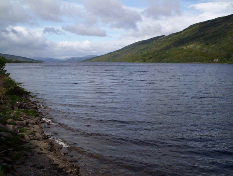
Looking back down Loch Fyne.
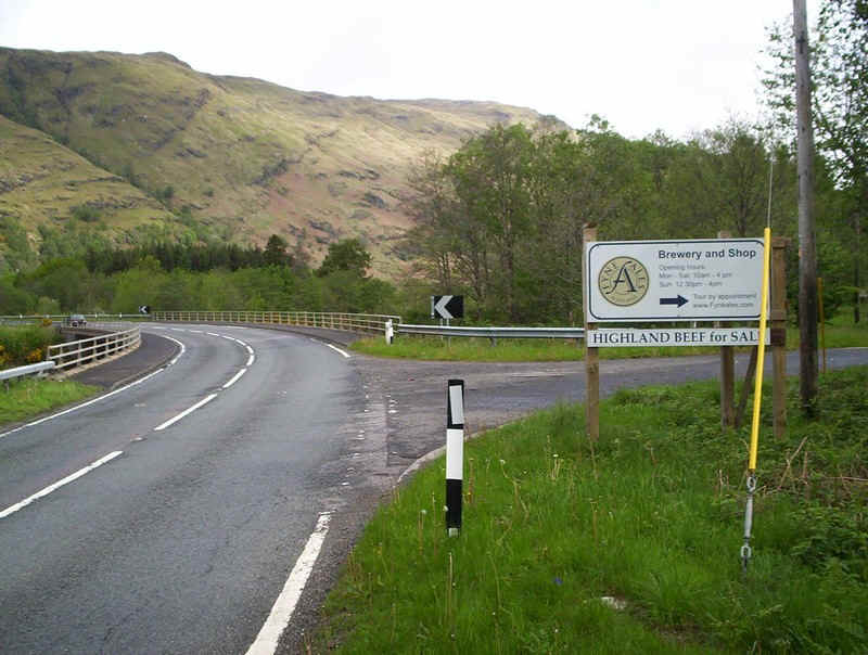
The walk proper starts near the new bridge over the River Fyne and then along the lane towards the Achadunan Brewery.
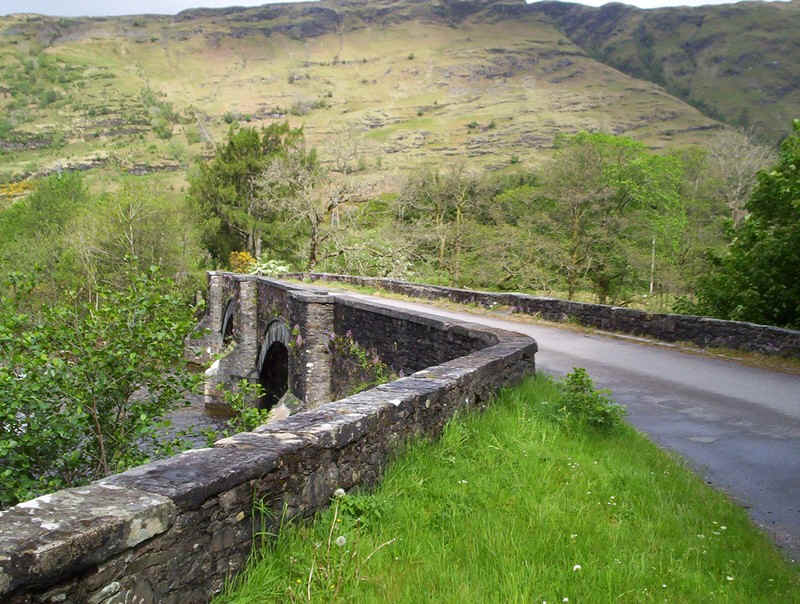
The old single lane stone bridge leads to the car park......
......but the walking route is straight along the lane.
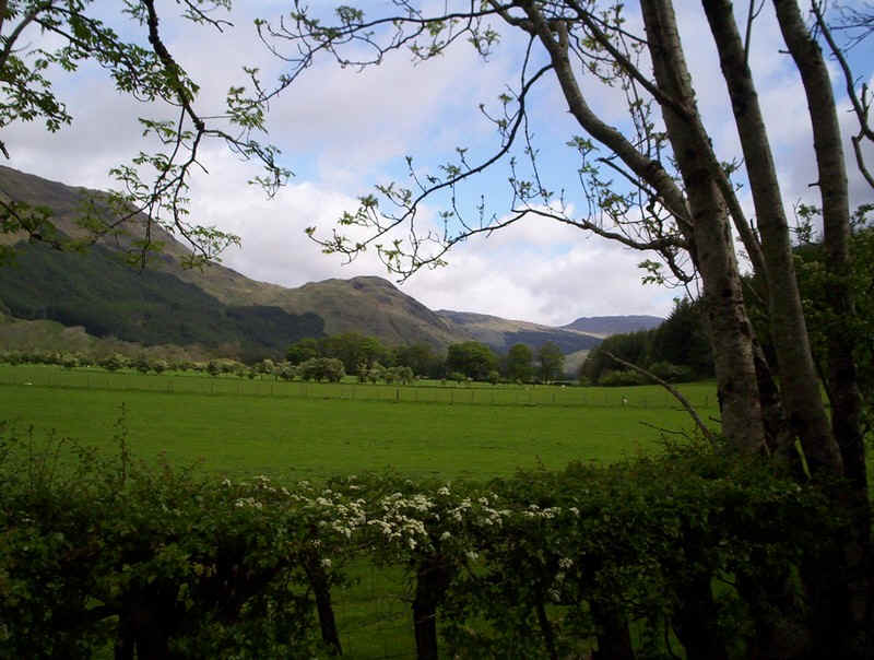
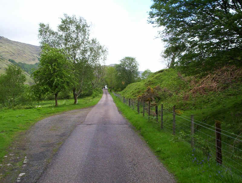
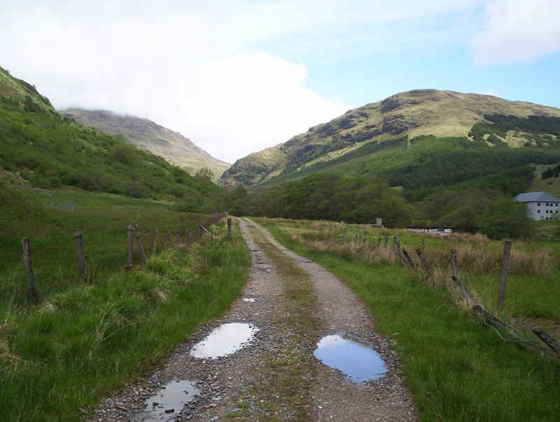
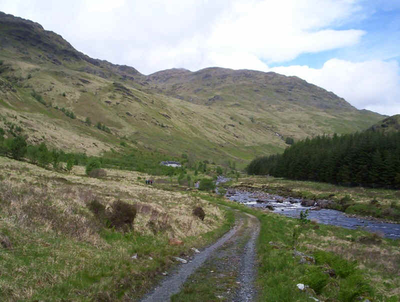
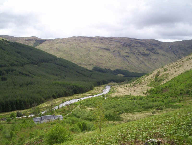
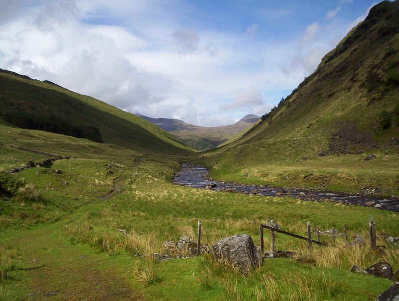
Glen Fyne is a lovely valley to walk up...
.......and it's easy to set up a good pace along the lane.
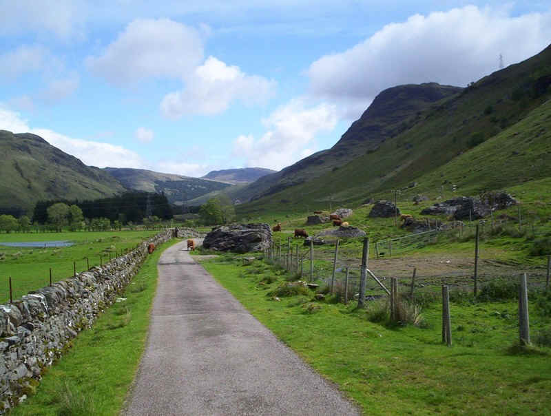
There were several groups of fierce looking Highland cattle, but they seem to be docile even with their young calves present.
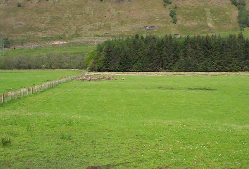
In one of the fields was the curious sight of a herd of deer - being bred for venison presumably?
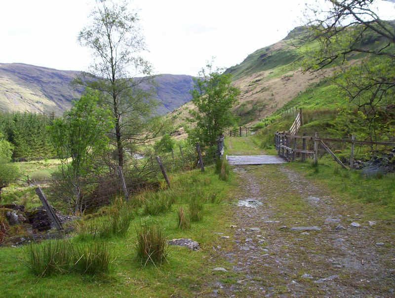
The paved lane now crosses the river and joins an unpaved one that comes up the west bank of the river from the main road.
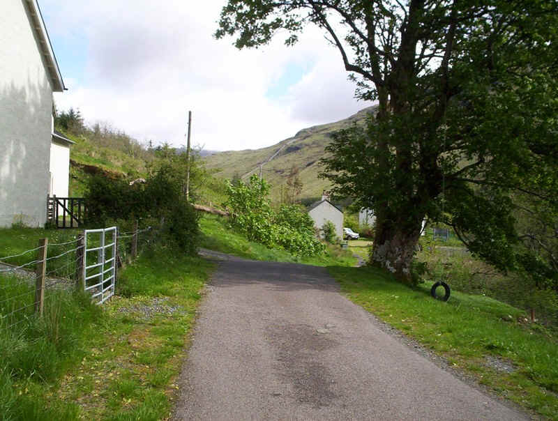
There's a small hamlet at Glenfyne Lodge..
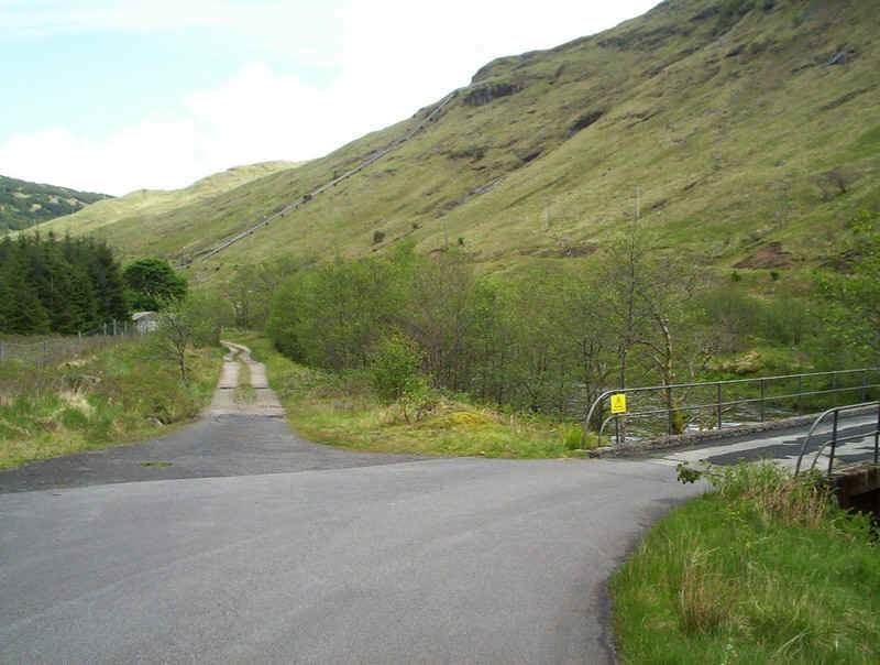
......and beyond the paved lane re-crosses the river to get to the Glen Fyne HEP power station. The way forward is straight on...
......up this unpaved track - the HEP plant is on the right.
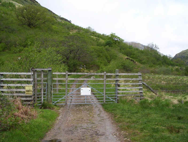
Eventually this deer fence is reached with...
.......the infamous cycle bar. By the time I returned there were four cycles chained to it.
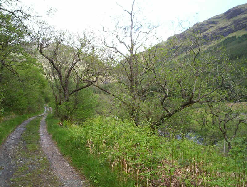
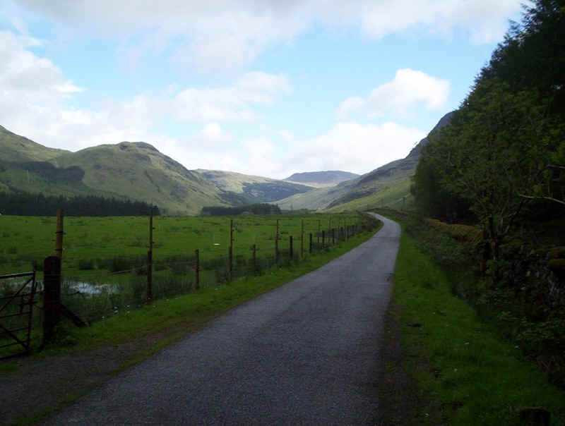
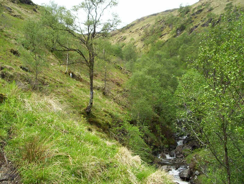
Beyond the fence the character of the valley changes slightly...
.....and becomes a little wilder. The way up the hill can be traced from the cottage in the centre of the photo and follows the trees leading diagonally up the hillside.
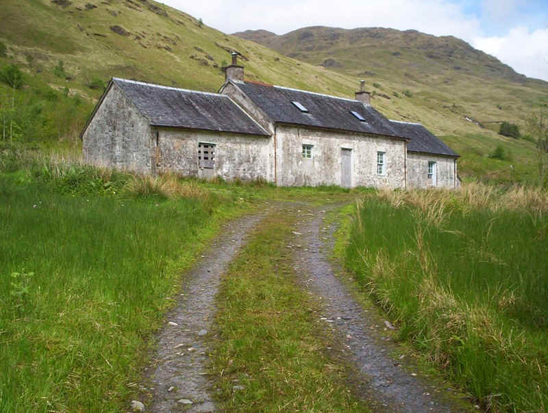
The abandoned cottage at Inverchorachan is the starting point for the walk up the hill....
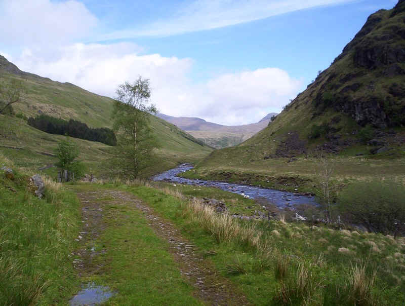
.....but first a view up the glen to Ben Lui on the left and Ben Oss on the right.
After climbing over the gate the path heads straight up the hill to follow the stream.
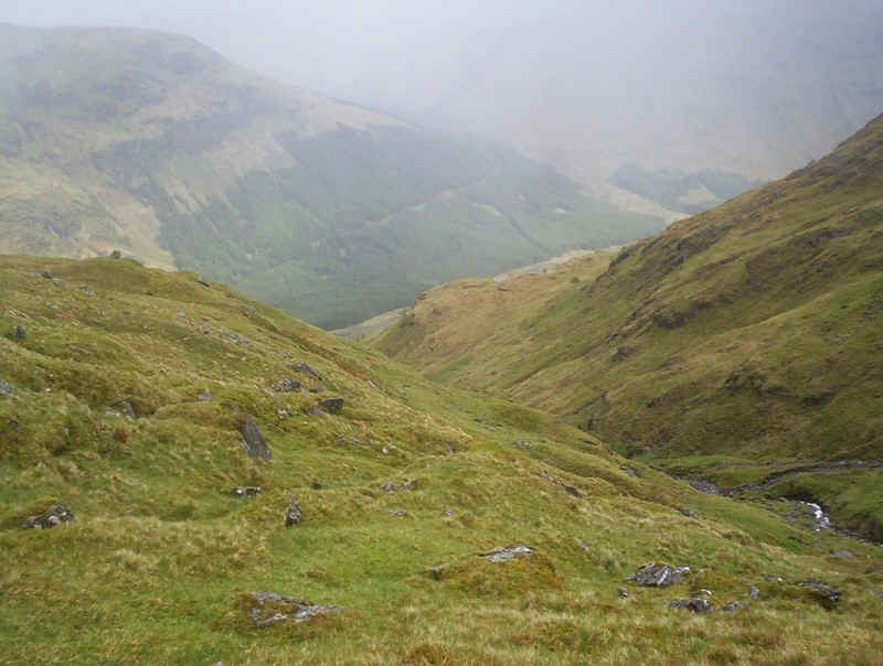
Looking back down into Glen Fyne.
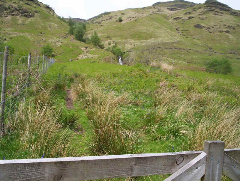
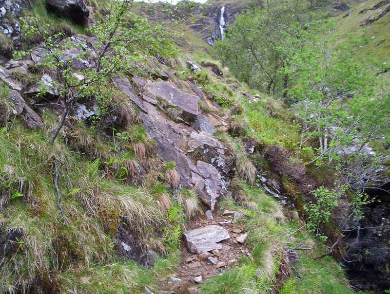
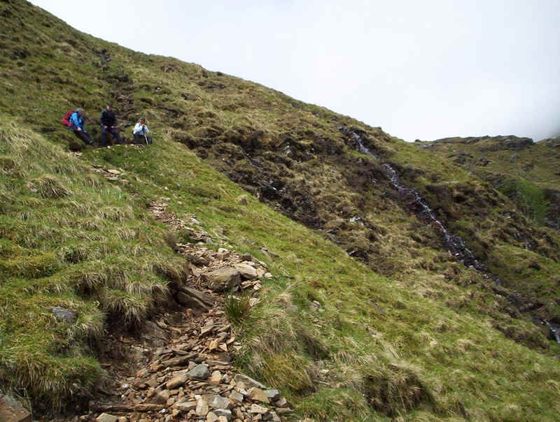
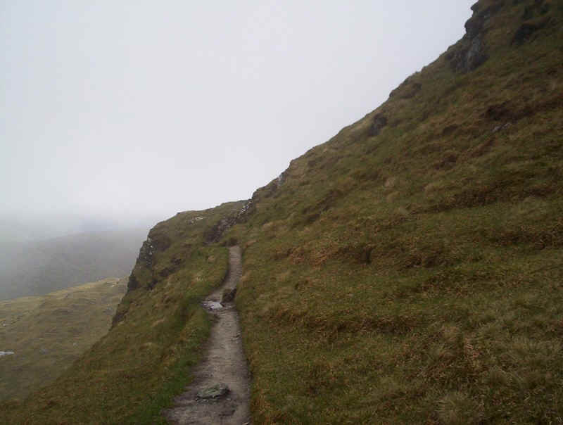
The path is clear, steep in places and...
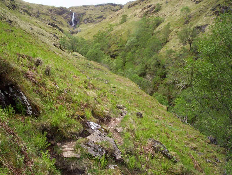
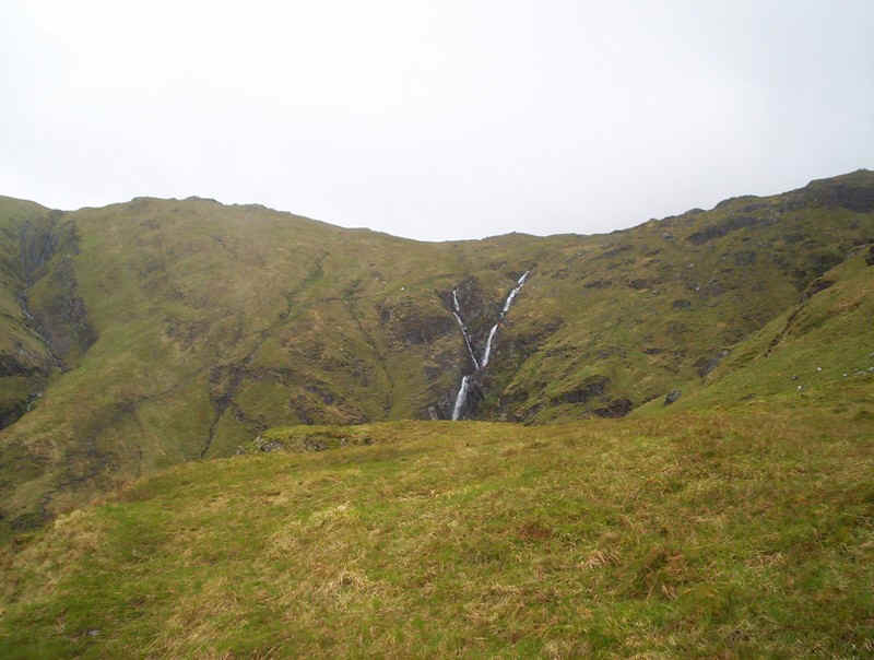
......soon gains height, with the first view of the dramatic waterfall.
Of course this walk is notorious for this 'bad step' around a rock. Ralph Storer in his book "The Ultimate Guide to the Munros Volume 1" says, "the path negotiates a few rocky steps as it clings to the side of the gorge and, just before a levelling at the foot of the waterfall, a granny stopper of a rock outcrop may well give sensitive souls pause for thought".
Mmmm...
Well, it certainly made me stop for a moment. As it happened there were three other walkers just behind me and one of them showed me the trick to get past this section without difficulty. The photo below shows how to do this with no real danger.

The white squares show where to put your feet on the ledge - there are plenty of rocks to hold on to. The tricky bit is swinging round the end. Where there's a red dot there is a half hidden hand hold. Hold on to this and swing round onto solid ground.
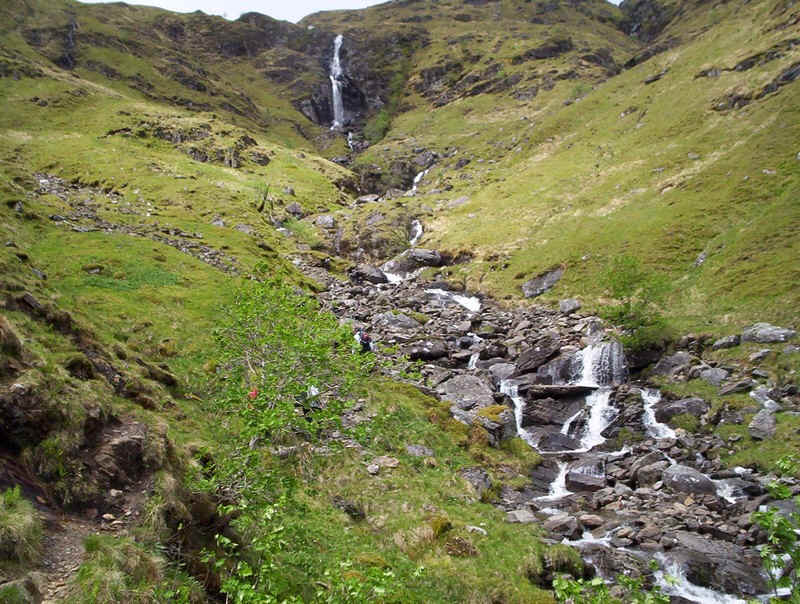
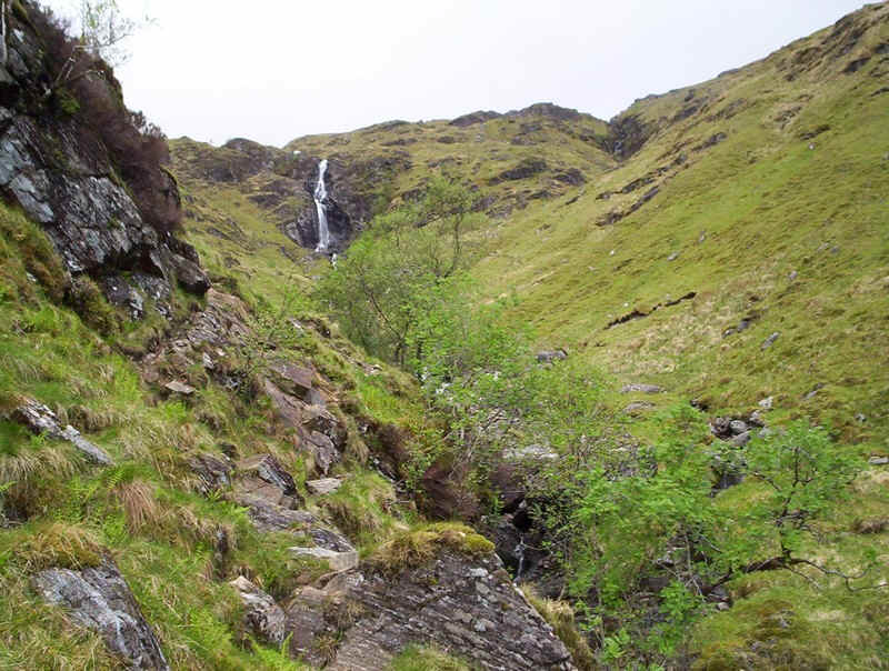
Having surmounted that difficulty, the waterfall can be admired as the path climbs....
......up the hillside.
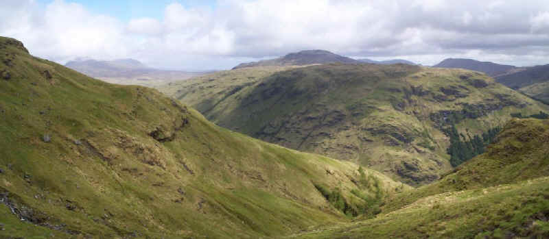
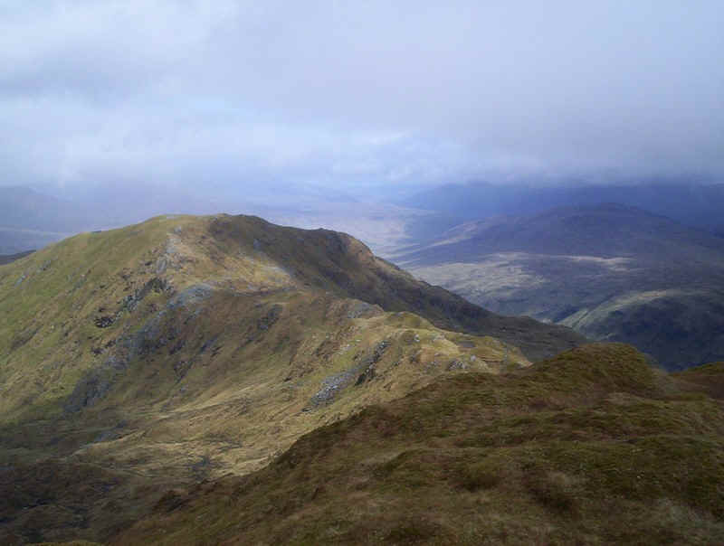
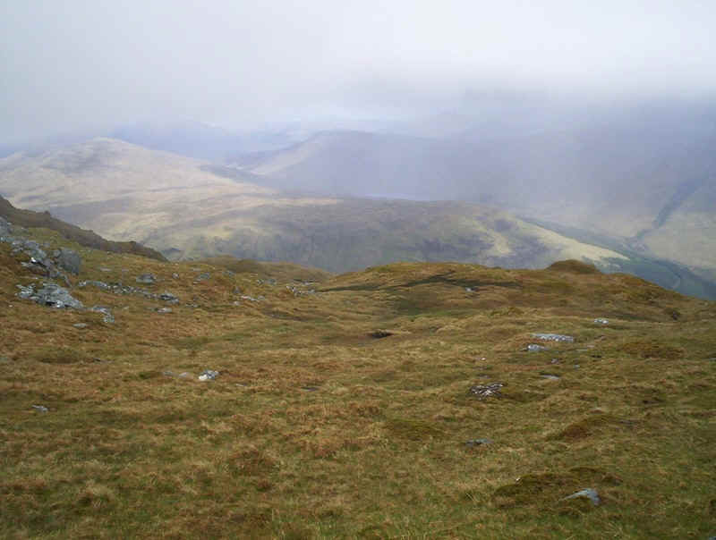
A look back down into Glen Fyne and beyond. Over to the left are Ben Oss and Beinn Dubhchraig near Tyndrum, whilst on the right is Ben Vorlich.
The track zig zags up a stony path...
......to emerge onto a grass covered slope...
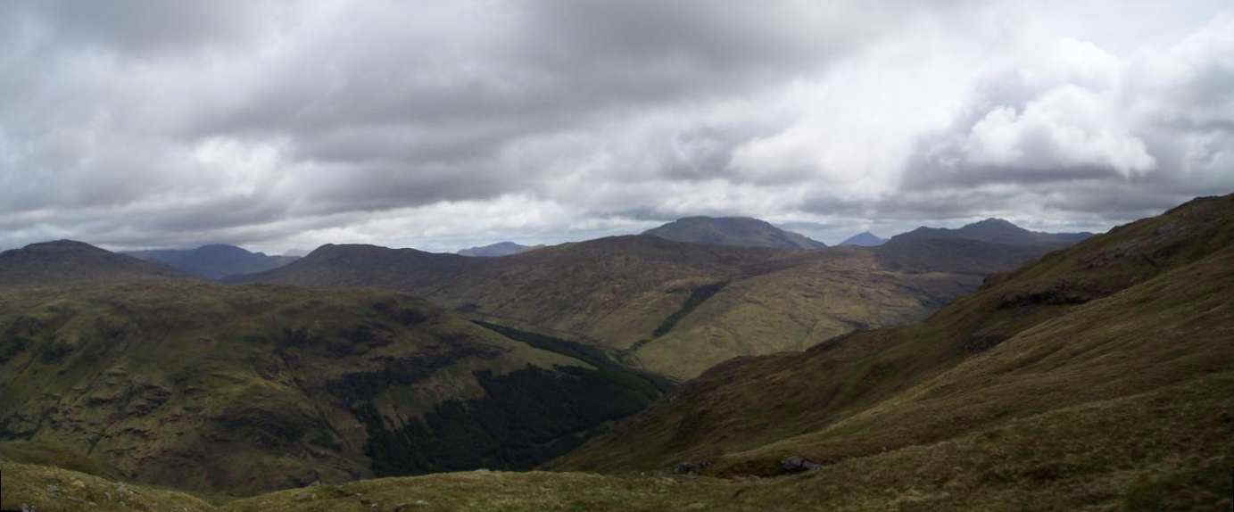
A panorama taken from near the waterfall. I think the pointed hill just peeping through the gap on the right may be Ben More.
Clcik on the photo for a large image.
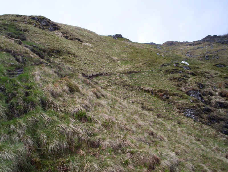
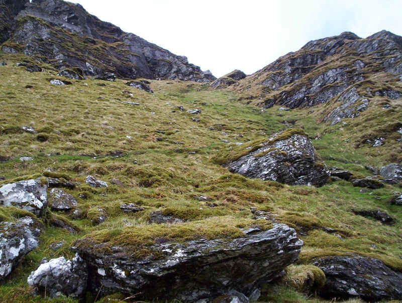
The next section of the walk could be tricky in mist as the path is often not well defined across the slightly boggy ground. Initially I lost the psath but found it again near a stream.
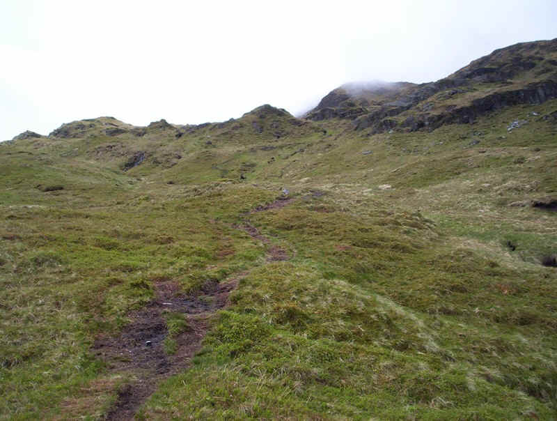
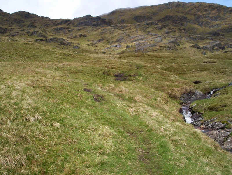
A clearer path emerges and climbs gently uphill..
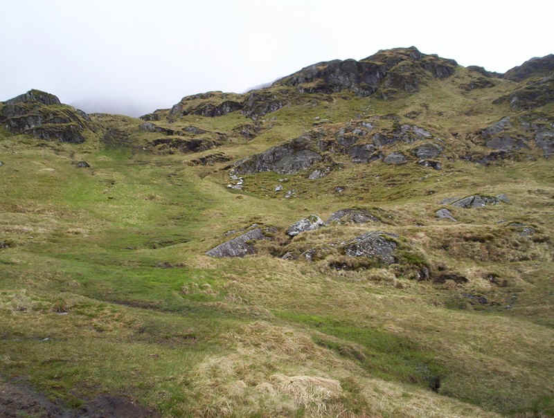
....through rocky outcrops...
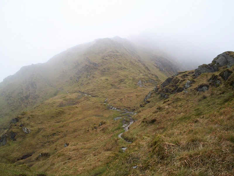
.....until you are faced with this formidable wall of crags.
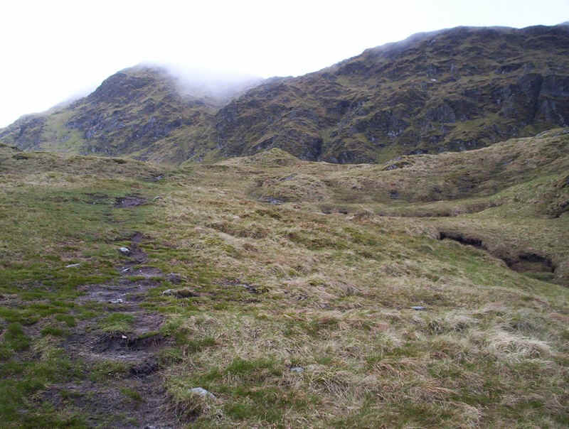
The track drops slightly before turning right...
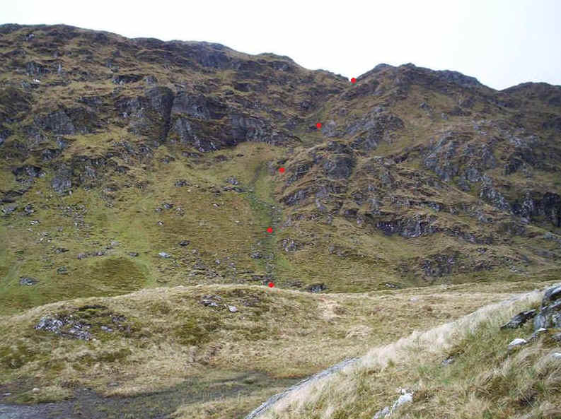
....to reach a gully, which gives relatively easy access to the main ridge of Beinn Bhuidhe. As this is a pretty crucial part of the climb I noted the grid references on my GPS - NN21026 18647.
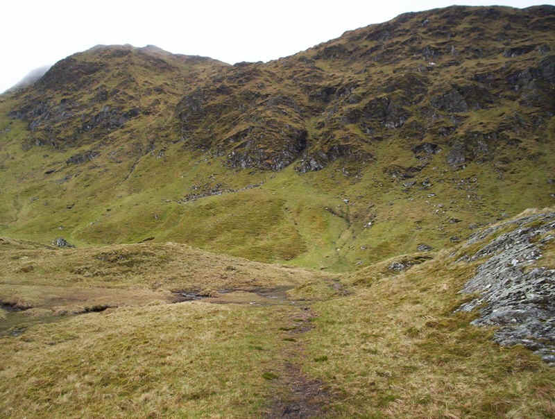
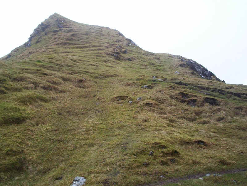
The climb is easy enough and eventually the top comes into view.....
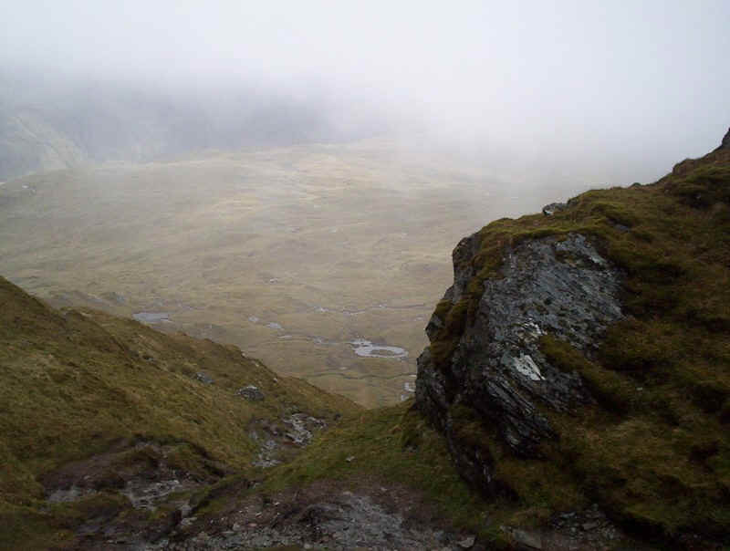
.....although the view down does look rather formidable! There is a small cairn here at NN 209458 18943, although I'd decided I wasn't going to go back down the way I'd come up.
From the top of the gully a track leads south west uphill...
.....and in places, entertainingly close to those cliffs! Given the strong winds I wasn't too pleased about this and decided I was going to avoid this path on the way back downhill.
The path meanders along the ridge - sadly the mist prevented taking any good photographs of the route uphill...
......but this one, taken on the way down, gives another taste of it.
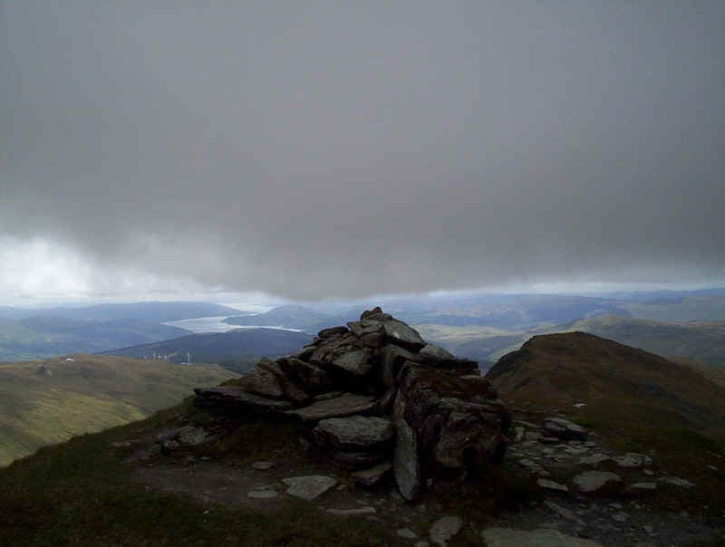
The summit cairn of Beinn Bhuidhe at 948m, with Loch Fyne in the background. My walking time from the bridge at the start of the walk was exactly four hours, about 15 minutes slower than I'd expected, but I had stopped to chat for some minutes with the other walkers.
This is the view looking down the south west ridge to Stac a'Chuirn
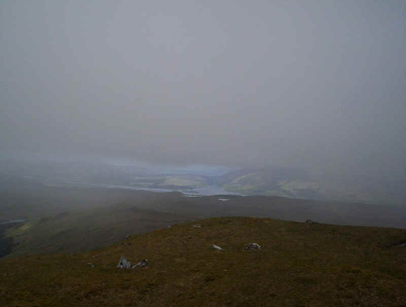
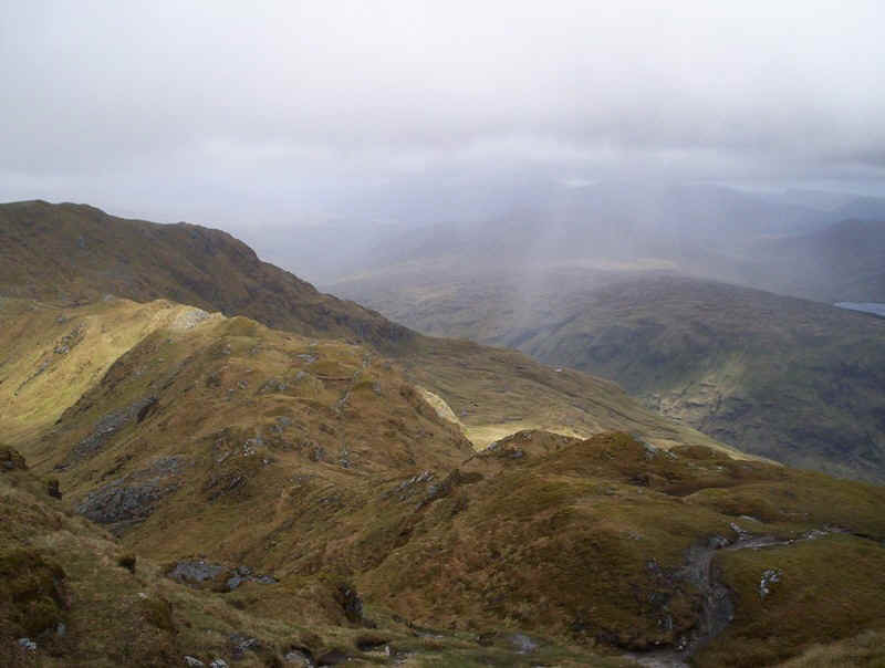
Low cloud prevented any extensive views from the summit but, this is Loch Awe.
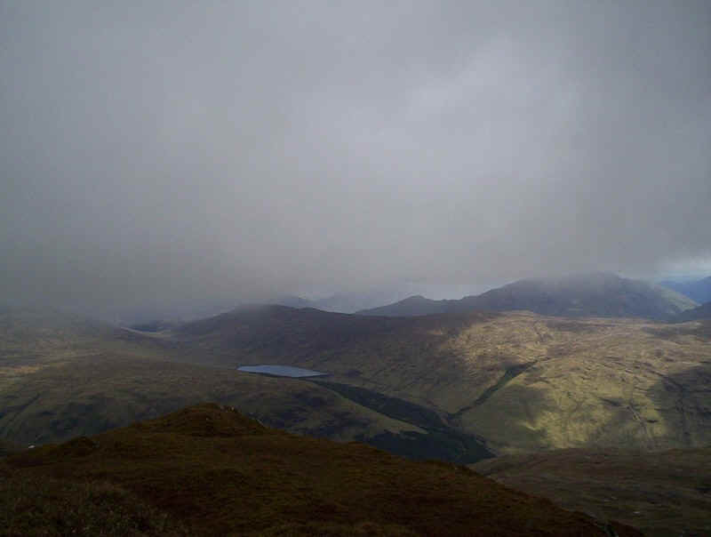
Looking across to the east is the reservoir at the head of the Allt na Lairige and below Glen Fyne. To the right is Ben Vorlich.
The way points on this map are taken from my GPS Spot tracker. You can make the map bigger or alter its appearance by clicking on the controls.
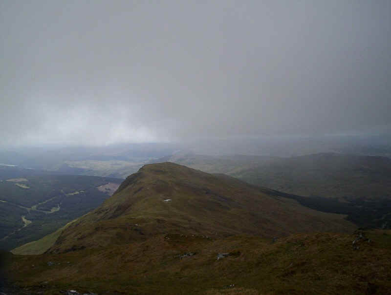
On the downhill walk I decided to take a different route. To start with I remained on a faint track that kept to the crest of the ridge, rather than following the crags. In the photo above the summit is an unnamed one at 901m, with Glen Falloch at the north end of Loch Lomond to the right.
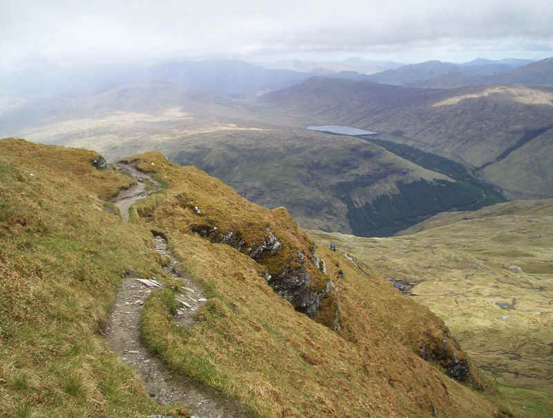
Eventually, I rejoined the main ridge path...
......which drops down through knolls...
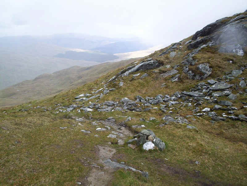
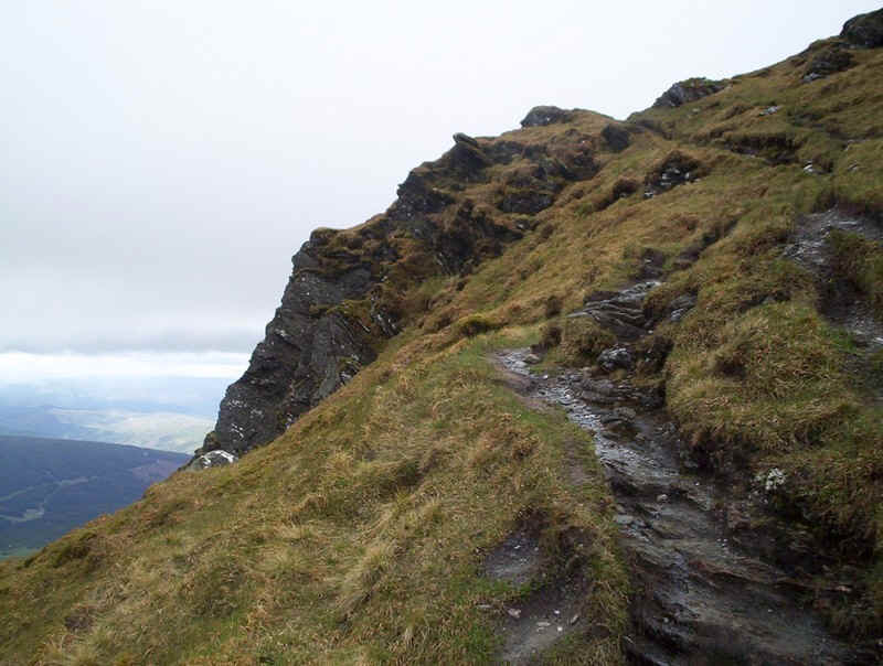
.......to reach the cairn at the top of the gully route - that track leads off to the right here. However, I'd decided to go down the ridge to the north of the waterfall to avoid the "granny stopper" and to see a different side of the mountain. This way continues from the cairn on the track to the left and winds....
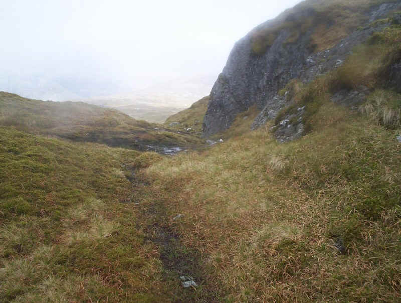
.........downhill slightly to reach this rather obvious track leading roughly eastwards.
The track almost immediately disappears and you are left to find your own way downhill. There are one or two small crags to work around, and a couple of streams in shallow gulleys to cross, but the way down is definitely easier than the way up! In mist you'd have to be careful because of the crags.
I kept above the main stream...
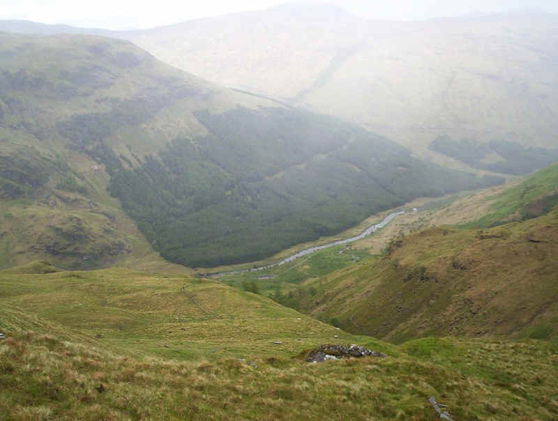
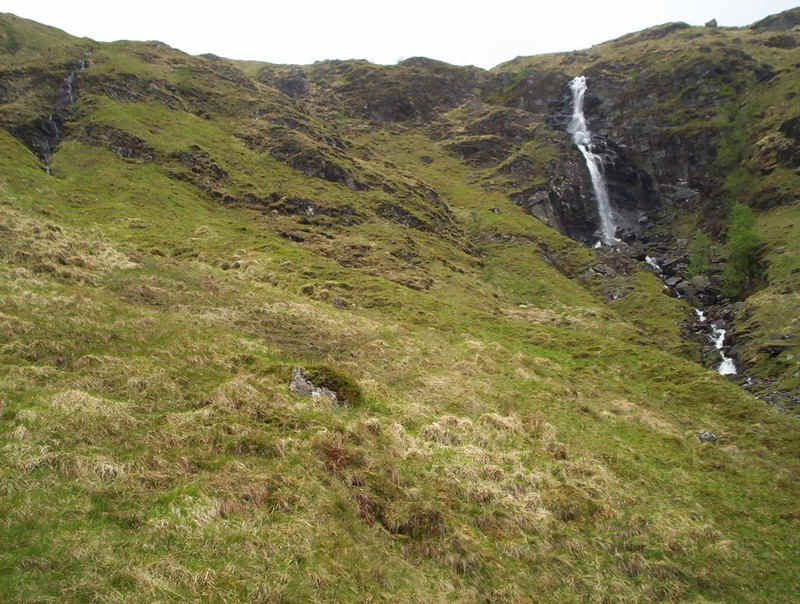
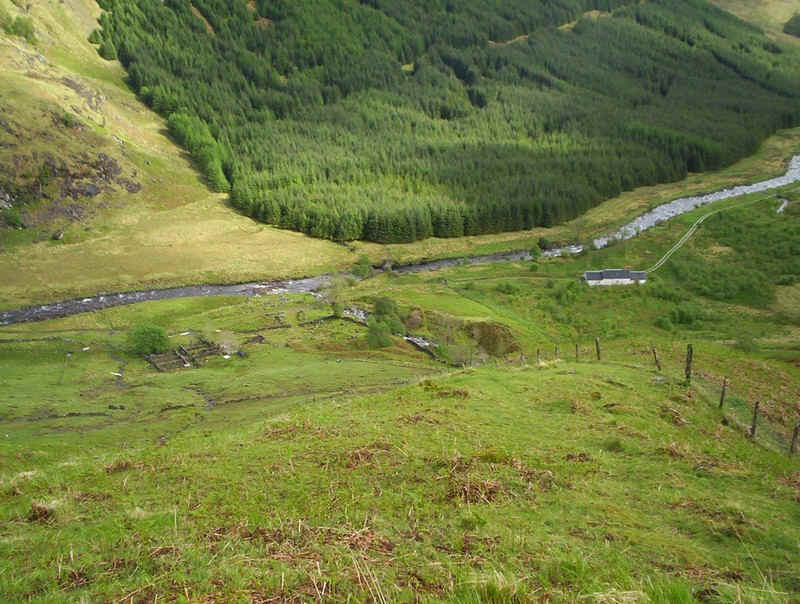
......and eventually, the glen floor could be seen.
Looking back the waterfall can be seen to much better effect from this direction, with its two upper torrents.
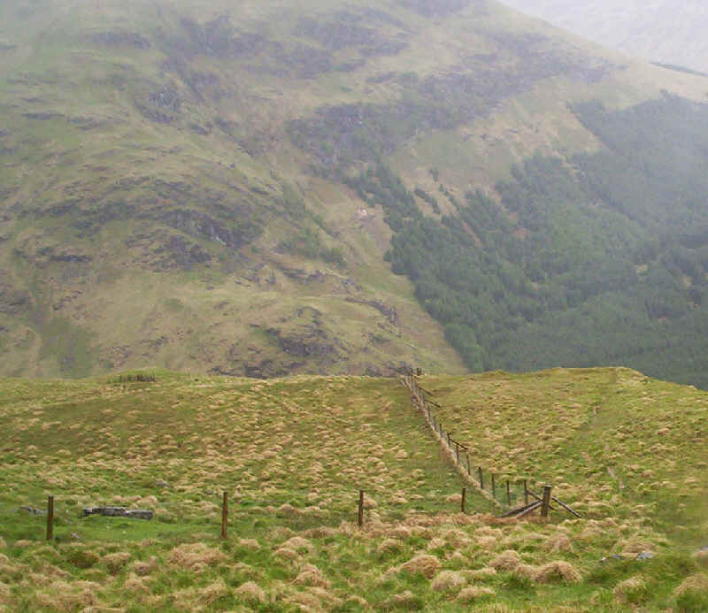
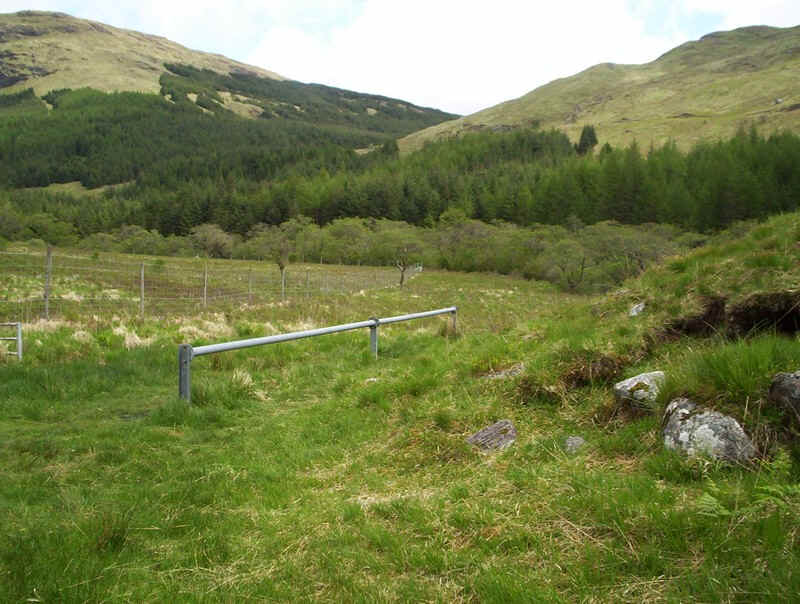
Head for the corner of this fence...
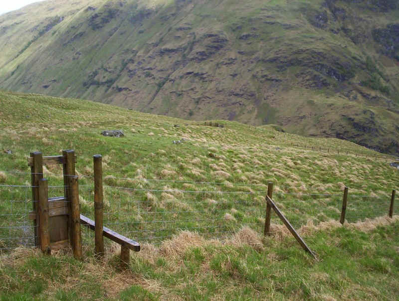
......which is crossed by a stile. At the other side of the field is a gate....
.....and then a right turn leads down this fence....
......to some sheep folds in the glen.
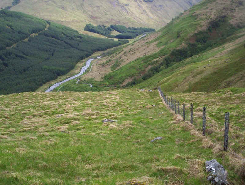
A final look up the glen towards Ben Lui and Ben Oss before....
.....that long walk back down the glen.
The return walk took just over three hours.
I finished the day in good style with a meal at the Loch Fyne Oyster Bar, before catching the 19.45 bus back to Glasgow. This is one walk where I'd recommend only doing it in the long days of summer to avoid having to wait (or walk on) dark roads