Beinn Dronaig
(part way)
After a less than successful day trying to climb Sgurr Choinnich, I decided to have an easier day for my third walk from Strathcarron in September 2014. The plan was to walk into the Attadale Forest and possibly climb Beinn Dronaig if the weather was kind.
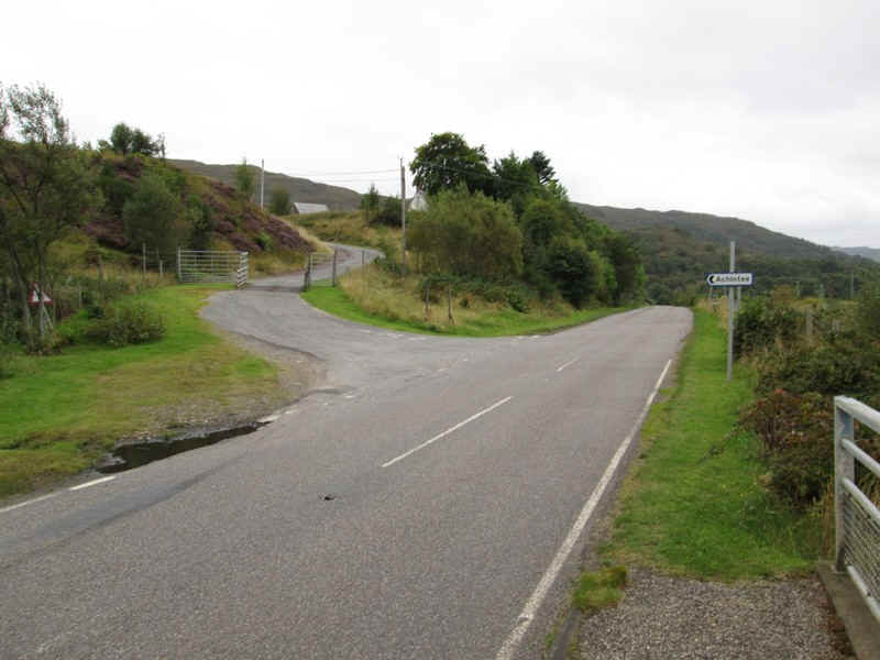
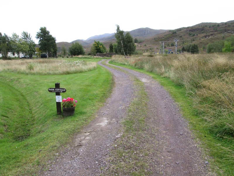
After a brief stretch along the A890 it was off uphill into the hamlet of Achintee...
...and then following the 'hill paths' signs the way lead past an electricity sub station...
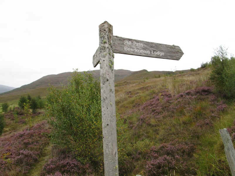
..to a signpost for Bendronaig Lodge.
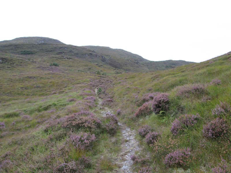
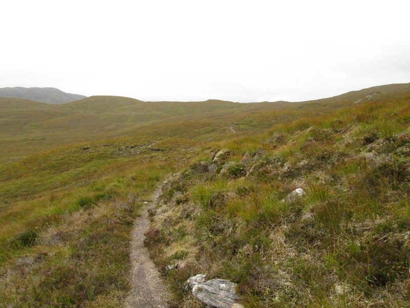
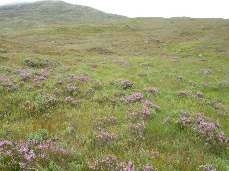
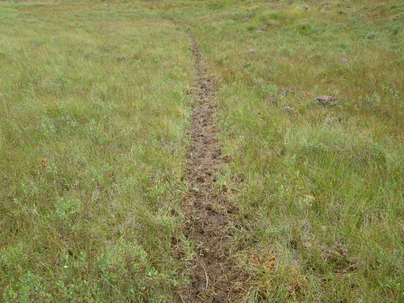
The majority of the path is an absolute delight to walk along being, for the most part, clear but having the feel of being really out in the wild.
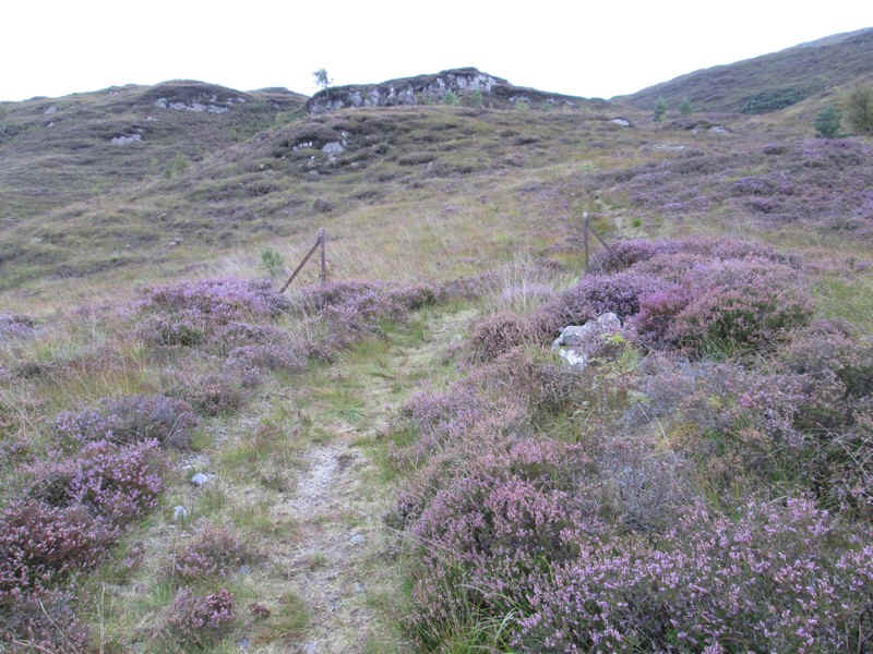
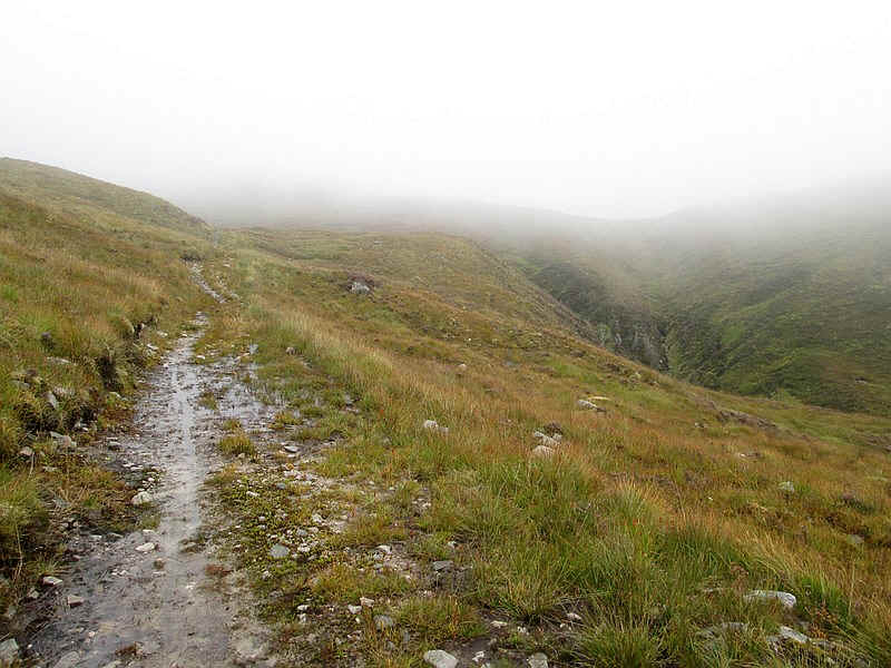
The path climbs to the remnants of a fence...
...with views across to Loch Carron.
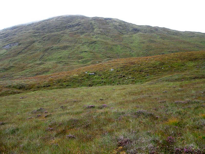
Ahead is the 612m high Creag Dubh Mhor
Then it's across what appears to be a relatively recently repaired deer fence with a magnificent stile!
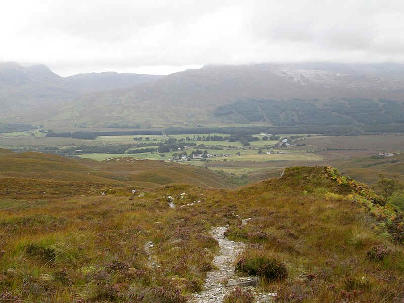
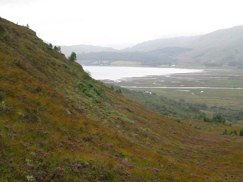
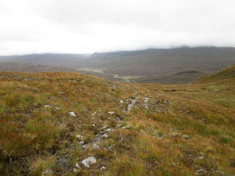
The view looking back down to Strathcarron.
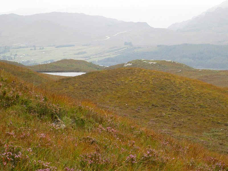
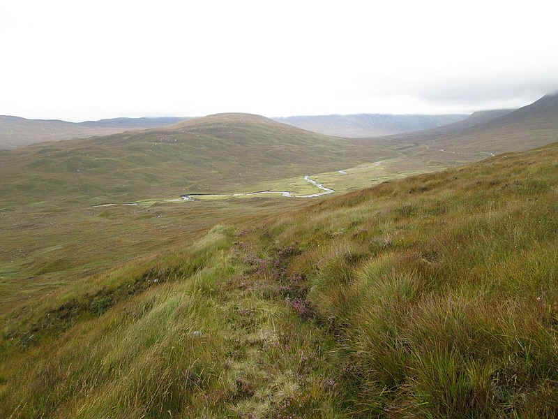
There's a tantalising glimpse of Lochan Dubha and beyond the road to Torridon can be seen climbing to the pass above Loch Carron.
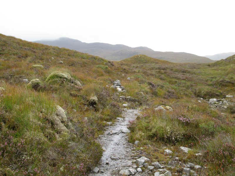
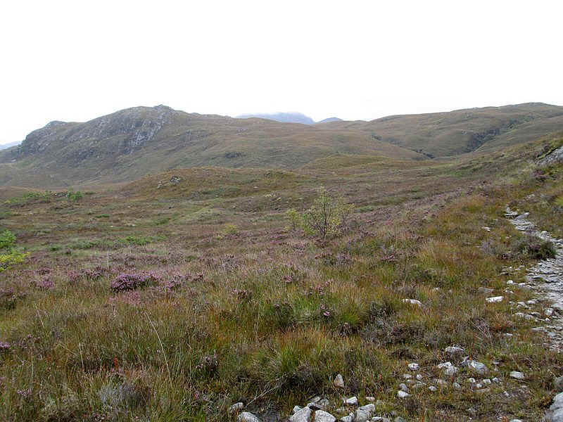
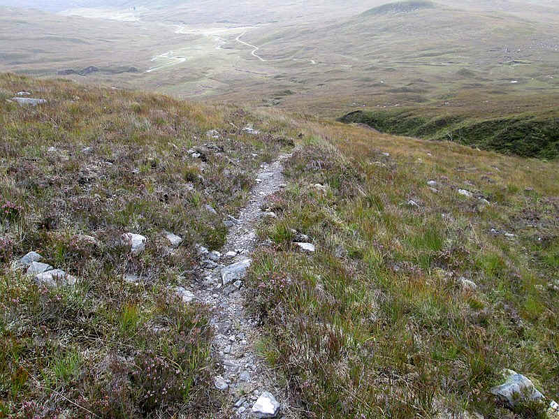
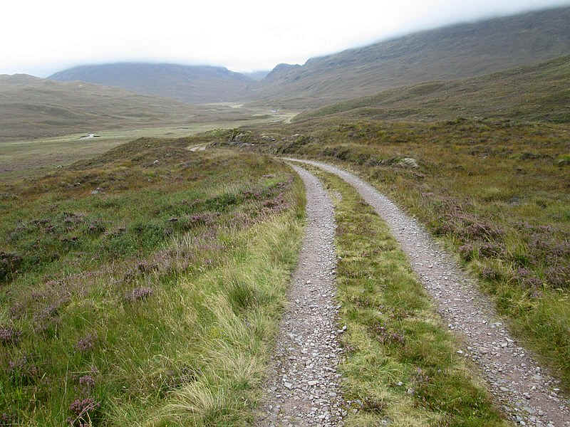
The path continues climbing gently (just what I needed!)....
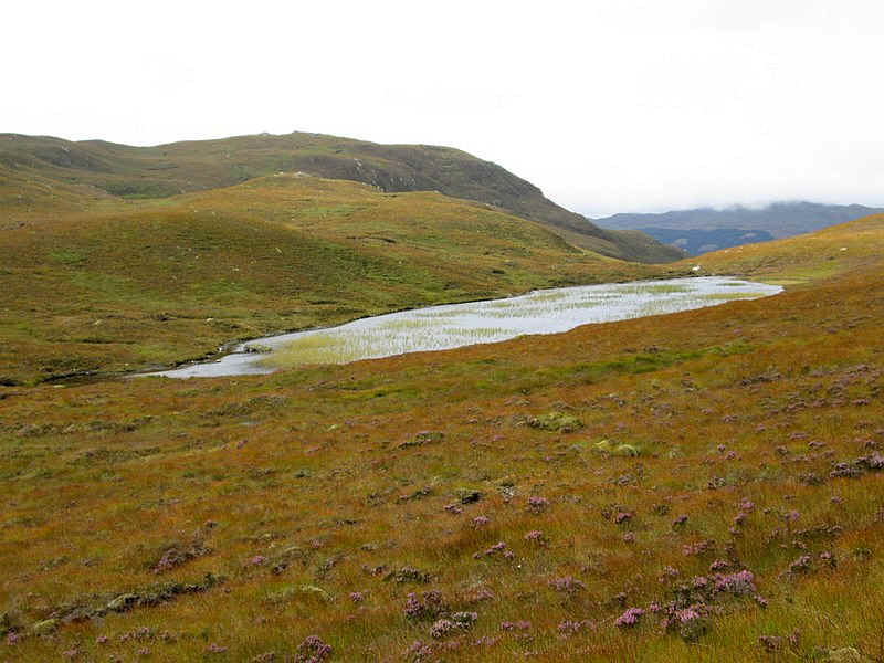
...with Loch an Feoir over to the east.
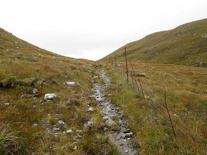
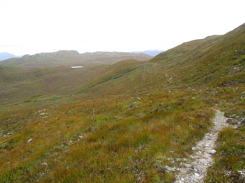
As the track reaches the 300m contour it turns south east ...
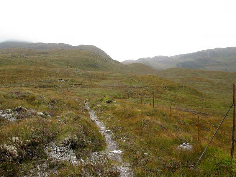
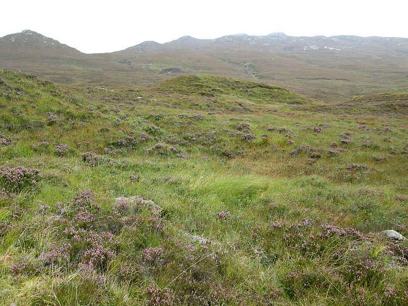
....and for the next few miles parallels the remnants of an old deer fence.
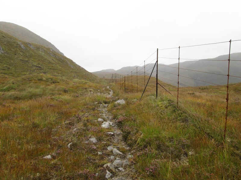
In places it is still intact but just beyond here I disturbed a large herd of deer which went thundering downhill about 100 feet in front of me - quite a sight.
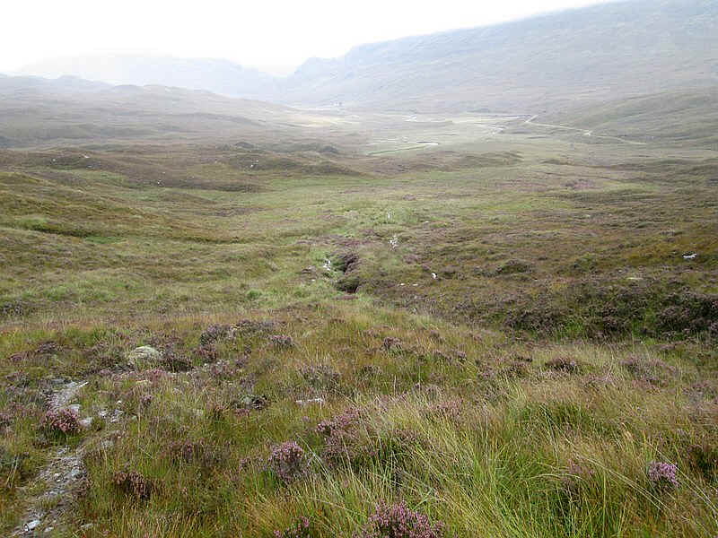
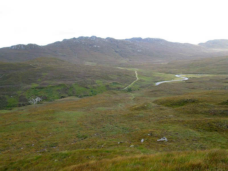
Looking down into valley of the Eas Ban which flows into the very short River Attadale.
Rather surprisingly the track now seems to turn into what looks to be a vehicle track, although there is no apparent reason for this.
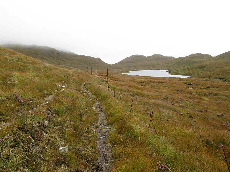
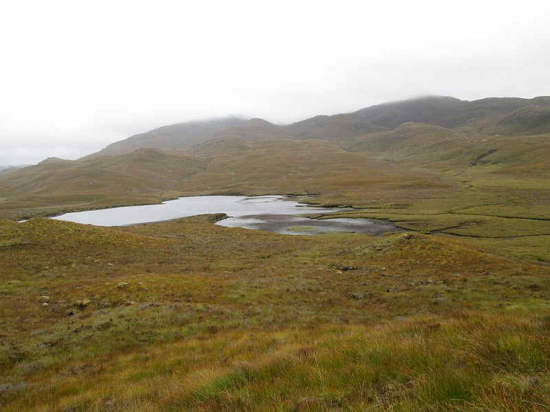
Then it's past Lochan Fuara with its...
...two separate areas of water.
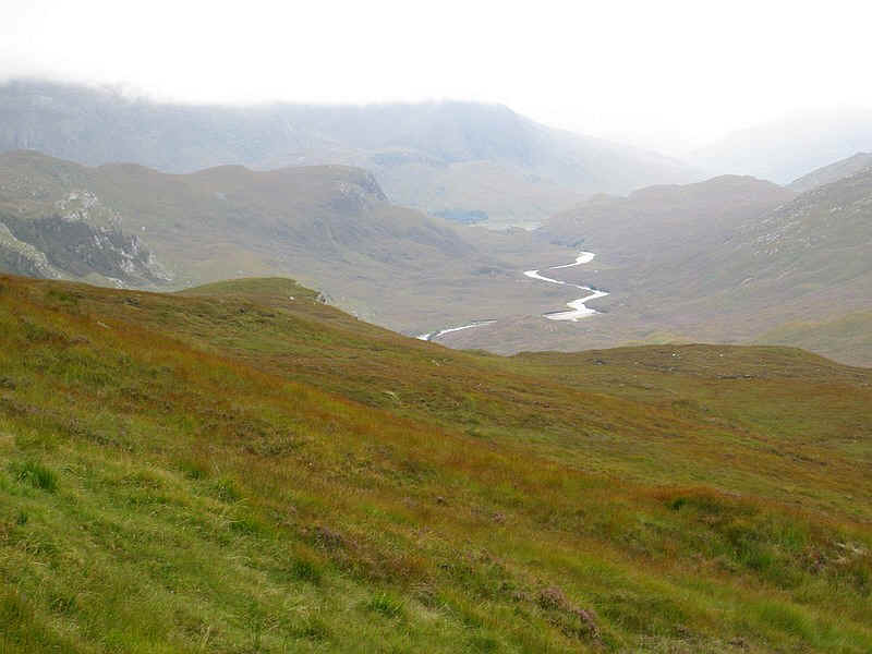
The path reaches the Bealach Alltan Ruairidh at about 400m above sea level...
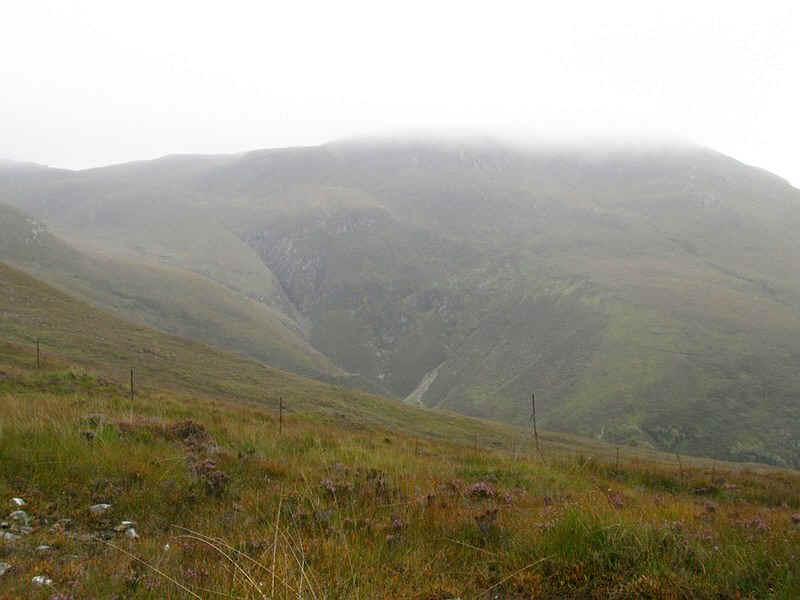
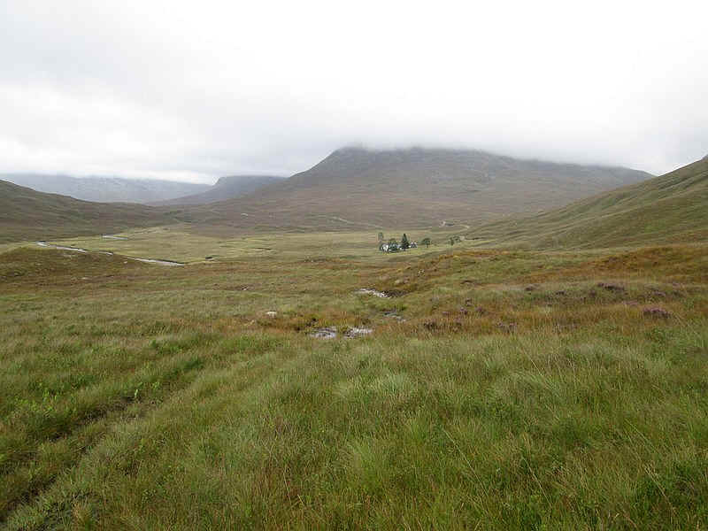
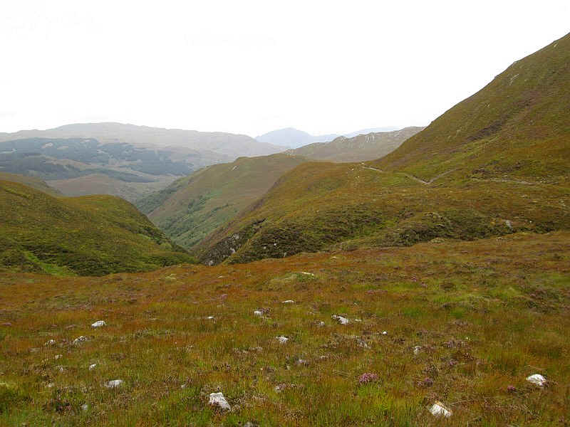
...and the view into the Black Water valley (or Uisge Dhubh) opens up. Directly ahead is Beinn Dronaig with the cloud base well down - to about 600m with the summit at 797m well hidden.
As the track drops downhill it is initially clear....
...but fades out as the it descends into the valley.
This is the view looking back to the bealach on the pathless section.
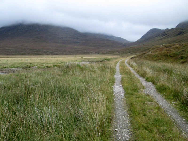
I cut across to the estate track that comes up from Attadale.
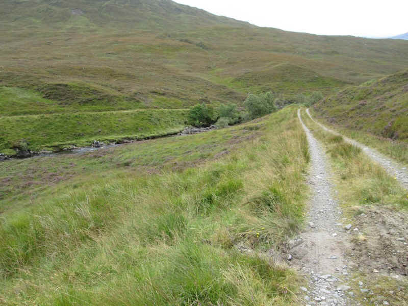
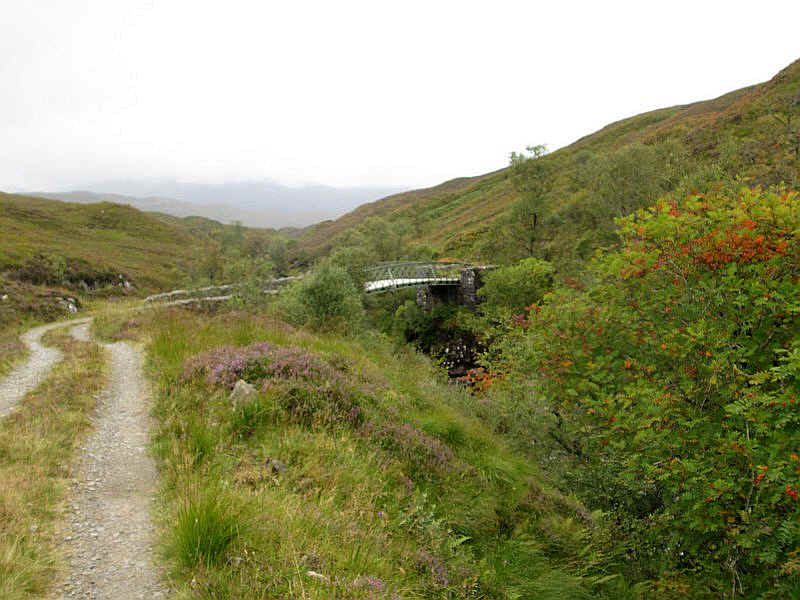
There is now a section along the estate road to the bridge over the river....
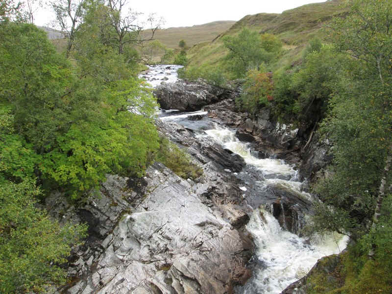
...with its dramatic rapids.
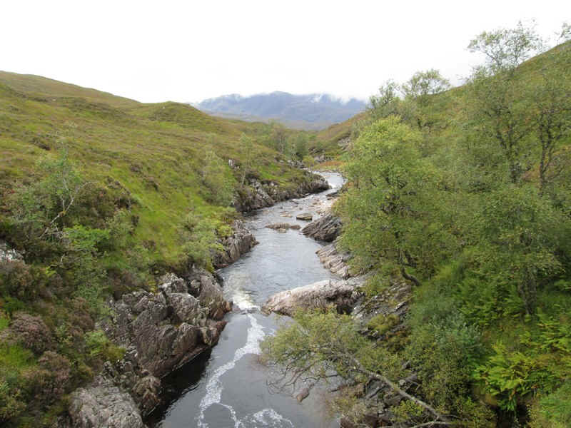
Looking downstream from the bridge.
I was in two minds whether to attempt to climb Beinn Dronaig as the thought of a couple of hours walking over moorland in the mist, which showed no sign of lifting, didn't really appeal. However, I decided I might as well make a start...
...and I plodded uphill to about the 550m contour before deciding not to go any further.
I felt that being in this wild landscape was more of a Scottish hill walking experience than walking inside a cloud. This photo shows the view looking back the way I'd come. Clearly I'm not just a peak bagger...
Looking south west into Glen Ling it was obvious that the cloud base was going to remain low for some time so I turned downhill to meet...
...the old stalkers' path which contours along west side of Beinn Dronaig. This leads back to the estate road further up the glen ...
...towards Beinndronaig Lodge.
Where the ground got boggier the path disappears and is then replaced by a series of deer tracks across the flat area of the glen near the river.
Looking up the glen into the Coire na Sorna. In retrospect I wish I'd walked up the glen rather than try to climb the hill.
Anyway, it was now time to return to Strathcarron so it was back over the bridge with its intricate ironwork.
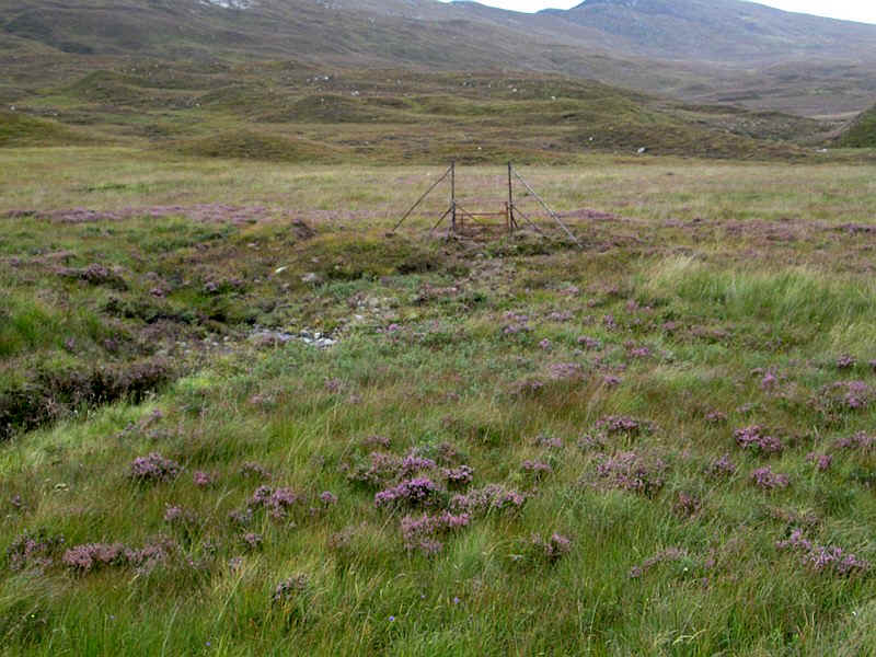
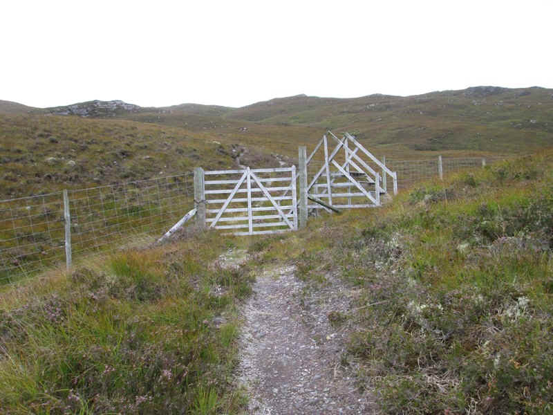
At the remnants of this gate in the deer fence I struck off to NG99250 38792. This was where the path from the bealach had finally disappeared - I'd entered this point in my GPS to ensure I found it again easily. Good forward planning that!
The cloud had lifted slightly by the time I got back to the head of the Eas Ban..
...and it was an enjoyable saunter back to Strathcarron.