Beinn Fhada (Ben Attow)
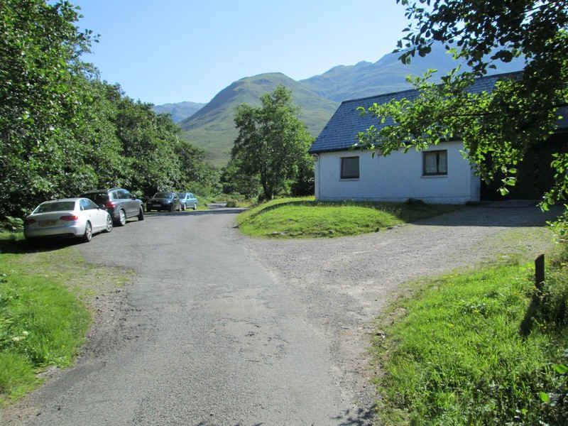
For my second day's walk in Kintail during July 2014 I decided to climb Beinn Fhada. Many guide books suggest combining this with neighbouring A'Ghlas Beinn but, as I'd also have to walk from the Kintail Lodge Hotel to the normal starting point near Morvic, I'd probably need over an hour extra walking time. I'd also had an extremely tiring 11 hour day on The Saddle the day before and the weather was hot, so the chances of climbing both hills and actually enjoying the day would be slim.
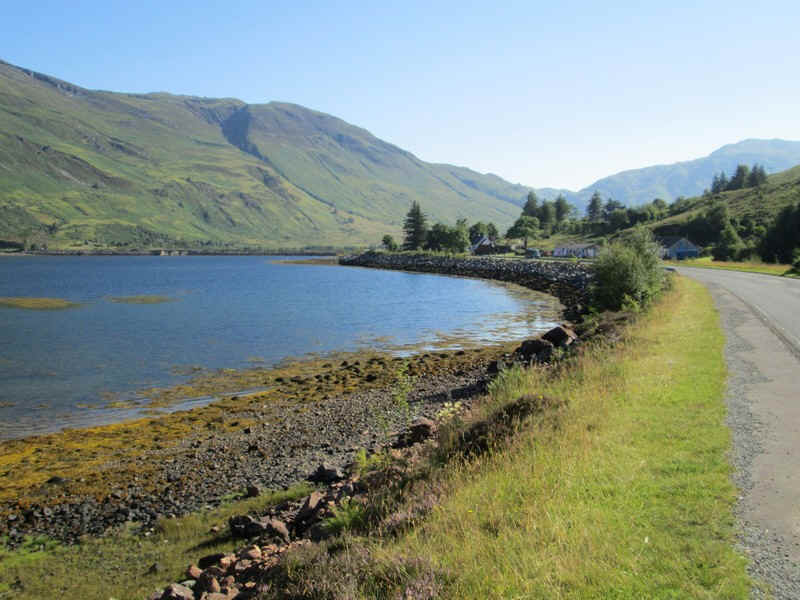
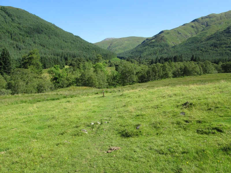
The day's walk starts along the old military road from the Kintail Lodge Hotel and then for a short distance along the A87 to Allt a'Chruinn. In the distance the causeway and bridge over the loch can be seen.
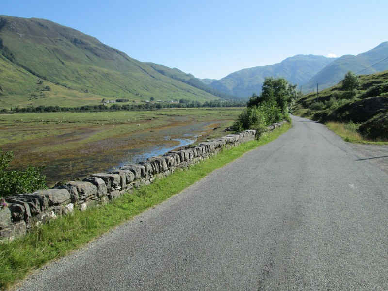
Then it's along the old main road around the head of the upper loch.
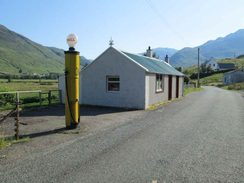
The old petrol pump is still standing at Carngorm.
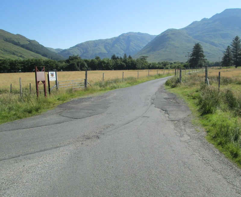
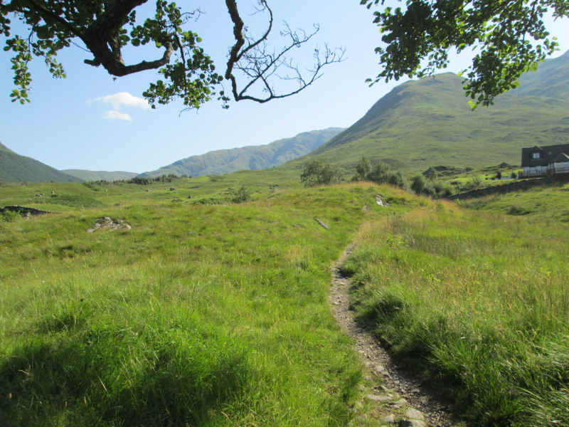
At Morvich the lane to the camp site is taken...
...and after a riverside walk away from the road comes to the Outward Bound centre.
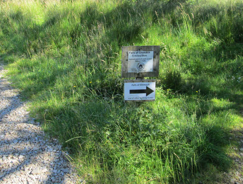
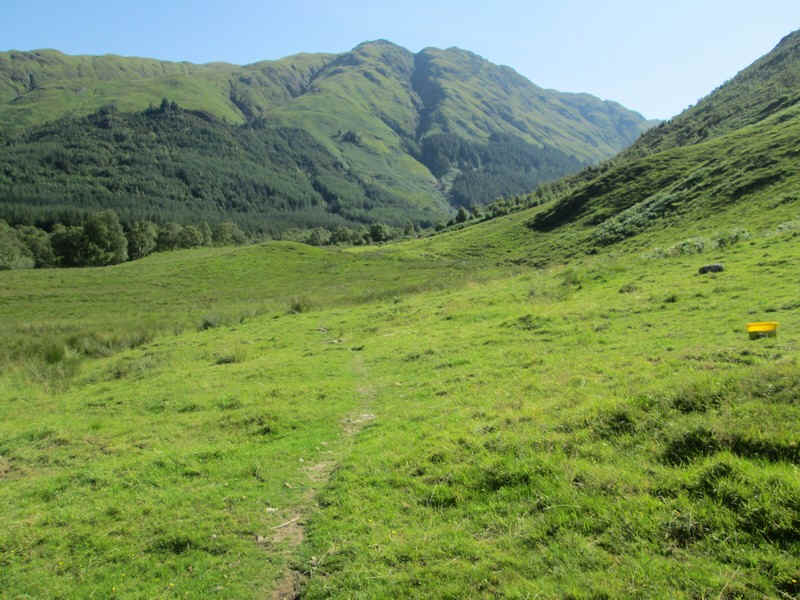
After crossing the river at Inchnacro the path, signposted to the Falls of Glomach and "all other walking route", is taken.
The track climbs gently up by the Abhain Chonaig stream...
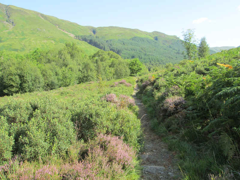
.. and through heather and woodland
...to reach an inconspicuous path junction where the track to the falls carries straight on and across a bridge.
Surprisingly there's no obvious cairn or waymark to show the junction but...
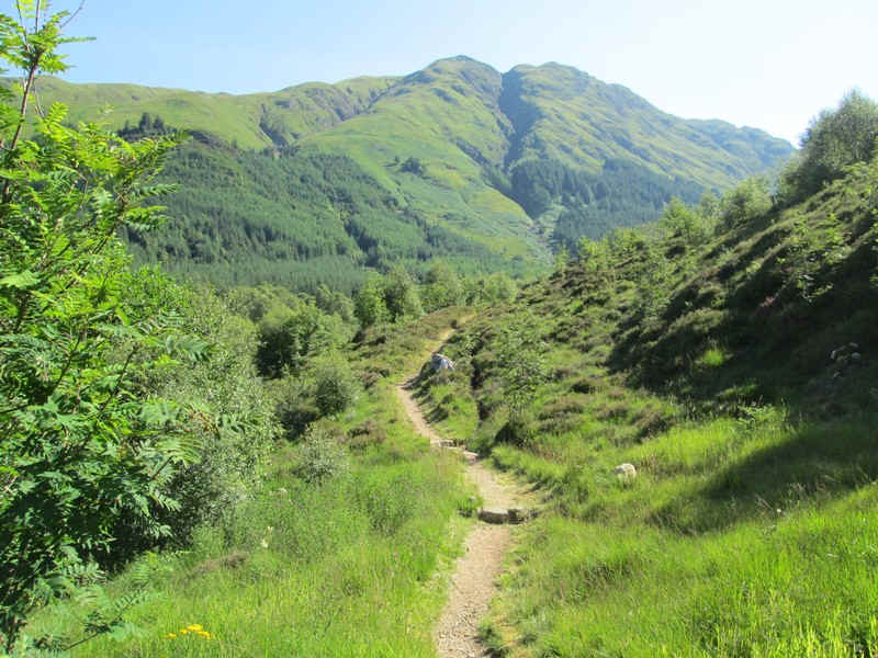
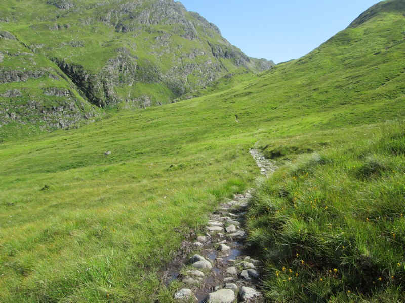
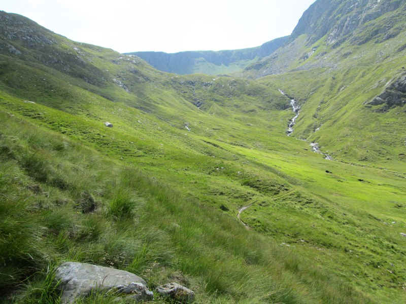
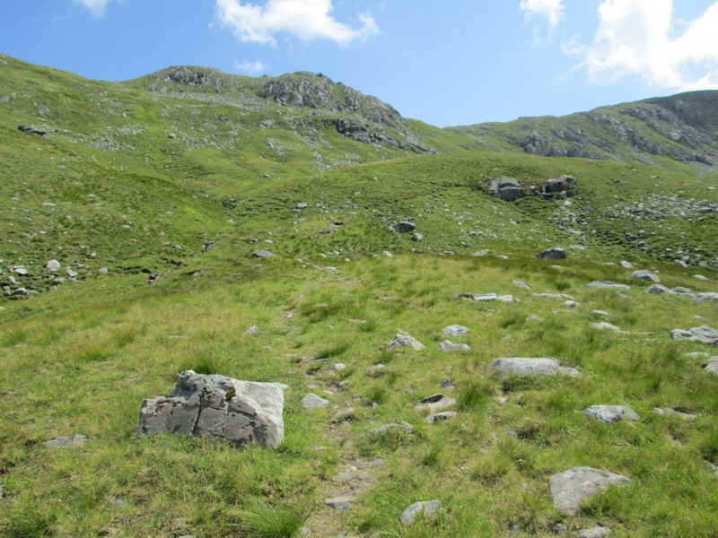
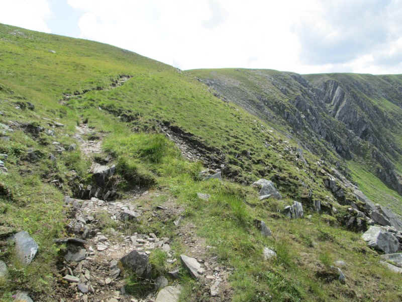
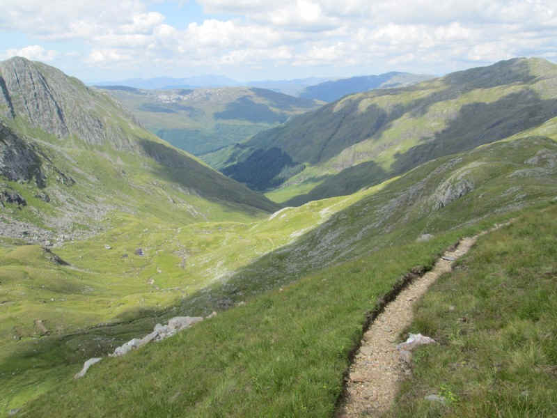
... the track soon becomes very clear as it heads up Gleann Choinneachain.
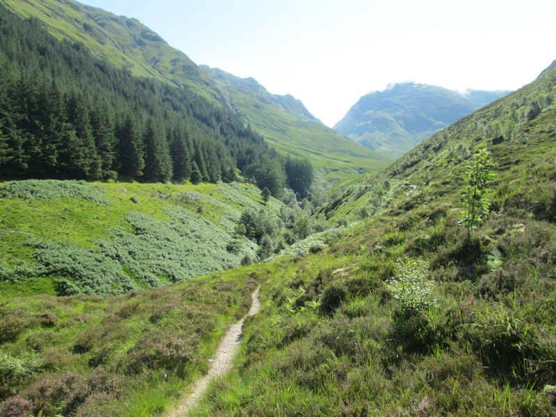
This superb path climbs gently with views improving all the time.
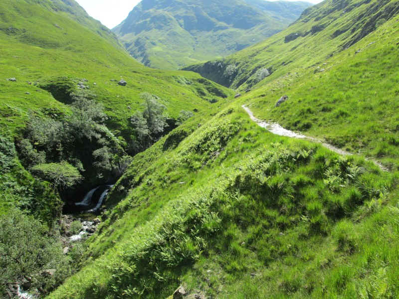
There are several waterfalls and rock pools below the path.
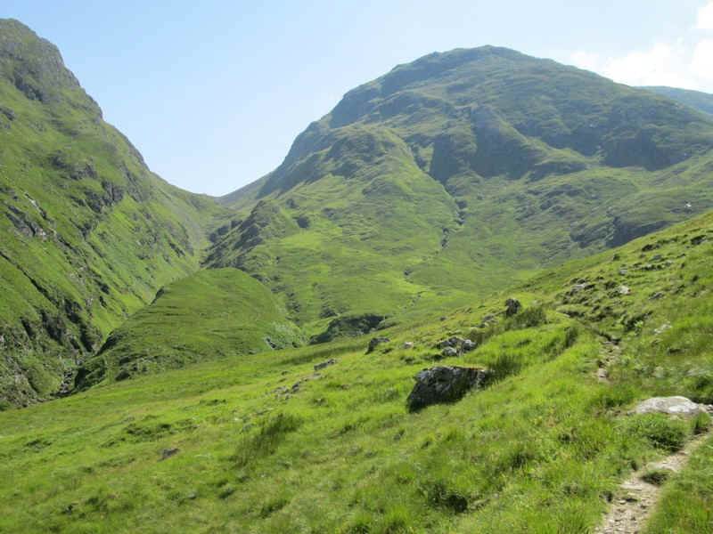
The path climbs several zig zags and the Bealach an Sgairne comes into view. To the left of this is A'Ghlas Beinn, whilst the track to Beinn Fhada goes off to the right several hundred feet below the bealach.
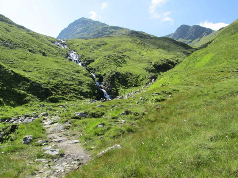
The dramatic waterfalls of the Allt a Coire an Sgairne come into view and...
... the track crosses the stream on stones. When in spate this could obviously be a real problem but not when the water is as low as this.
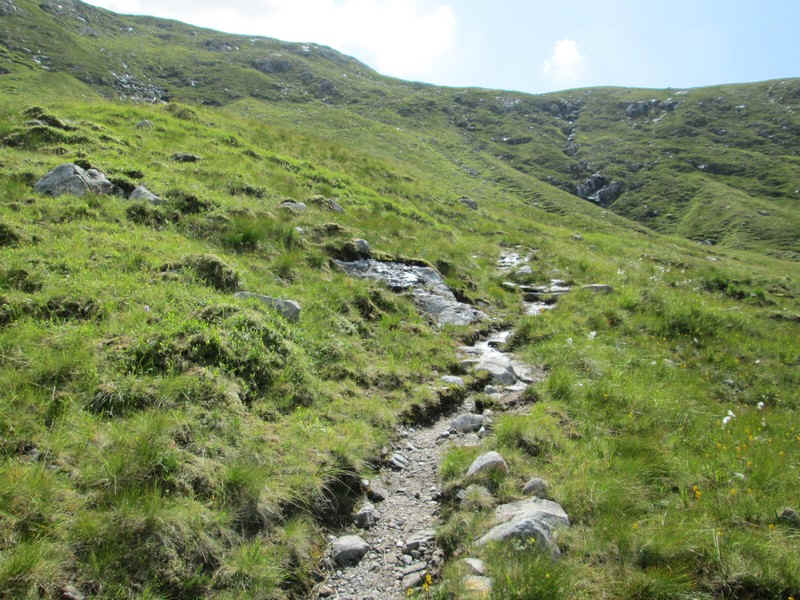
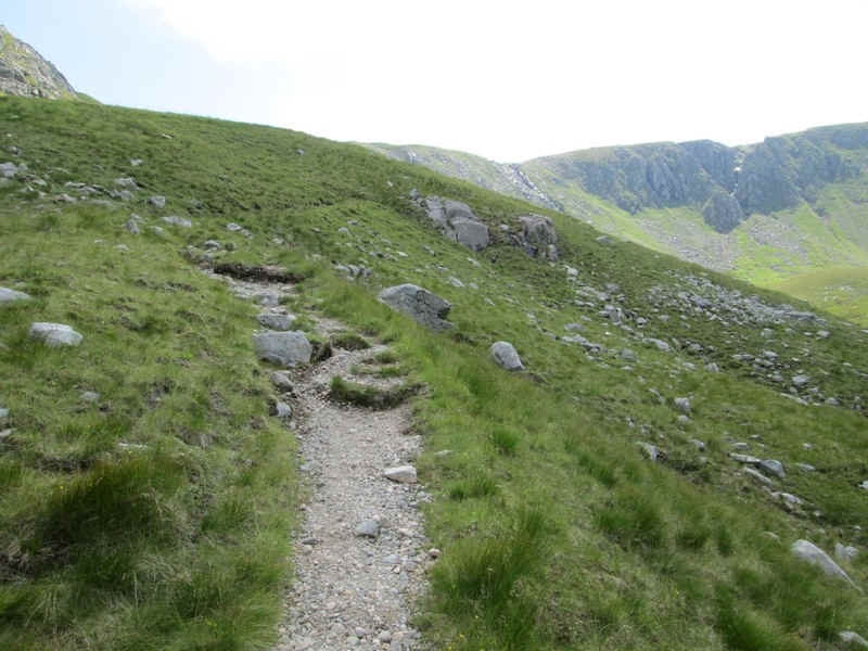
The path now climbs a succession of gently inclined zig zags..
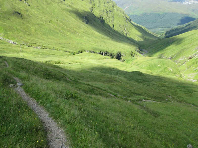
...gaining several hundred feet really easily....
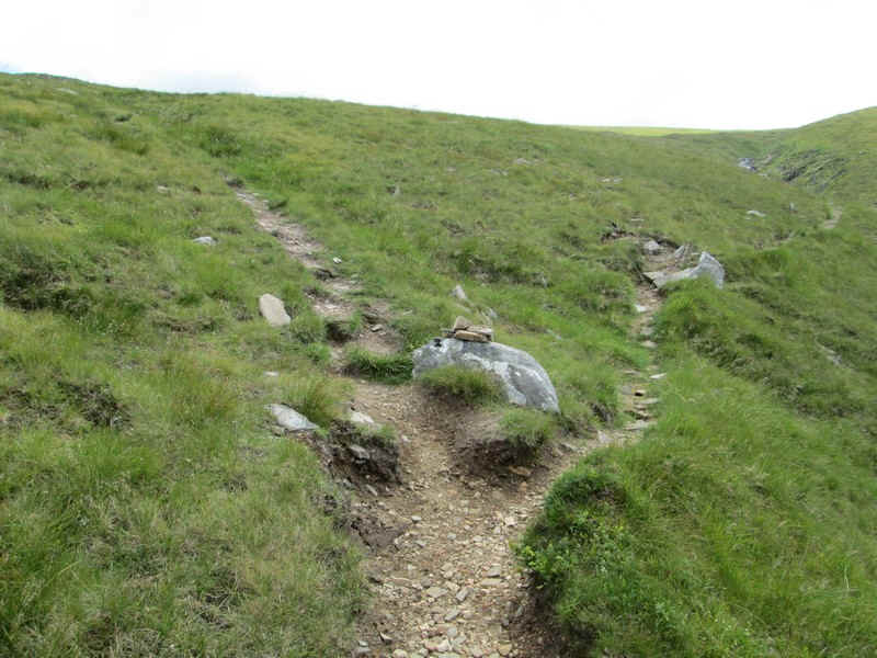
....to reach a small cairn which marks the junction of the path to Beinn Fhada.
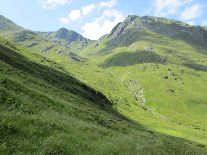
Looking south west from the top of the zig zags into Coire Caol.
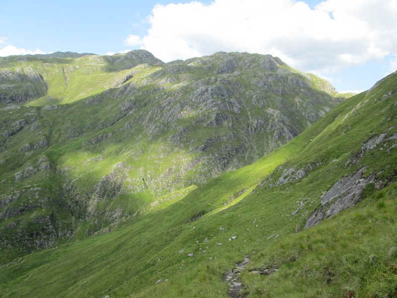
Looking back. the bulk of A' Ghlas Beinn rises up - tomorrow's challenege.
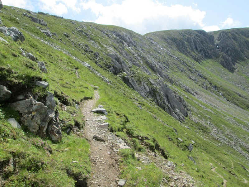
The path now drops slightly and then heads for the rock step at the end of Coire an Sgairne....
...where it starts to climb again.
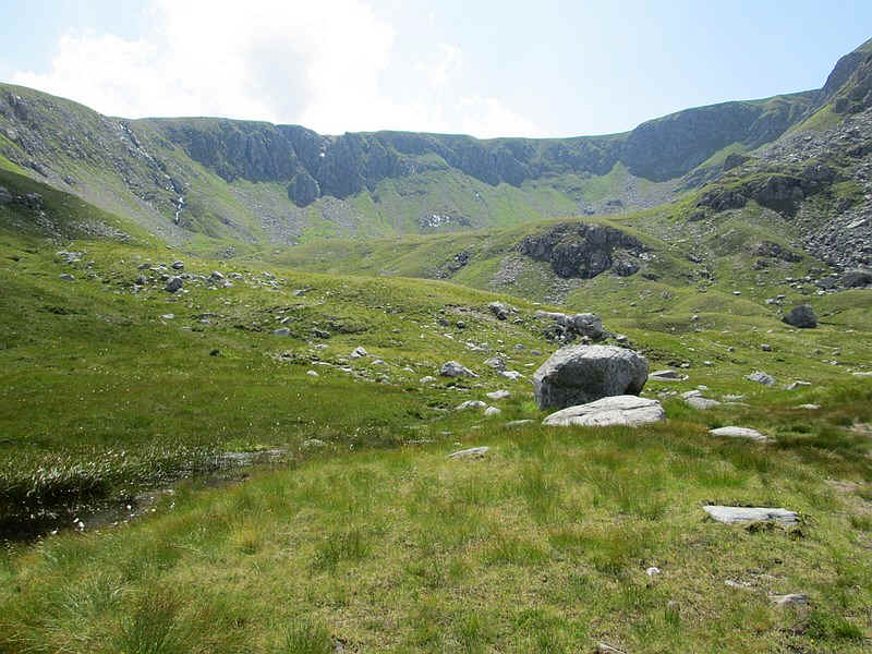
On reaching this point this enormous corrie opens up with the cliffs that stretch for a full 2km around its head.
The track heads diagonally uphill...
....on a relatively easy gradient....
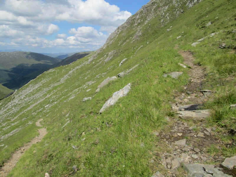
....with several more zig zag sections.
....before finally...
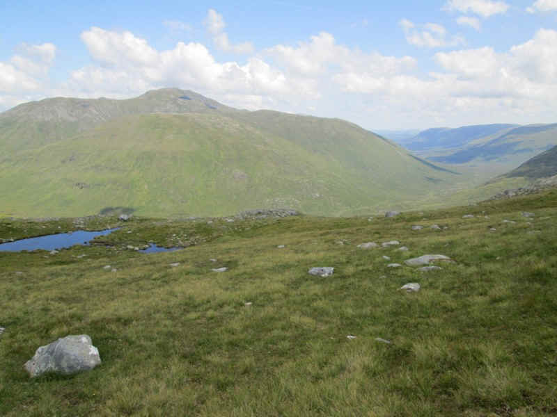
...reaching the ridge at about 750m where a small lochan is marked on the map. Across the valley is Sgurr Gaorsaic with Glen Affric stretching into the distance on the right. I sat here for ten minutes having a late lunch and watching an eagle soaring backwards and forwards high above the glen using the thermal currents and not moving its wings at all.
The way forward to Beinn Fhada is now visible and the path...
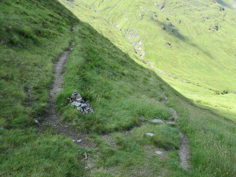
...heads along the edge of the corrie...
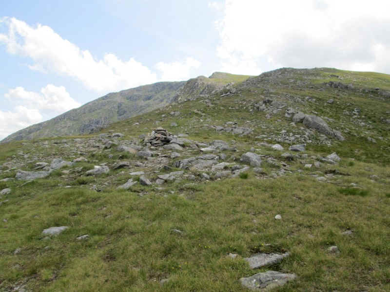
....until a small cairn is reached.
Time for some views! Looking back down the glen.....
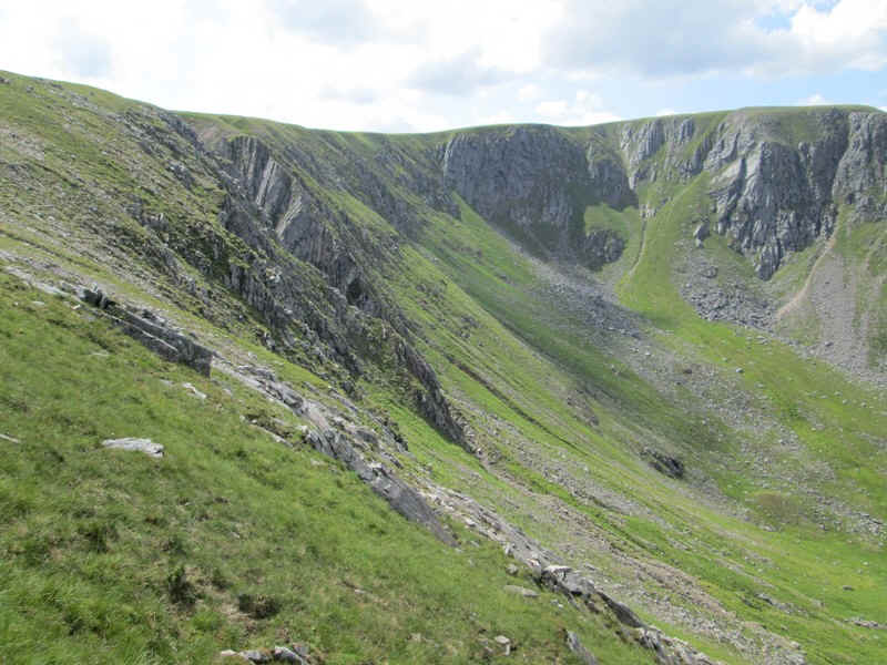
...and the cliffs of Coire an Sgairne.
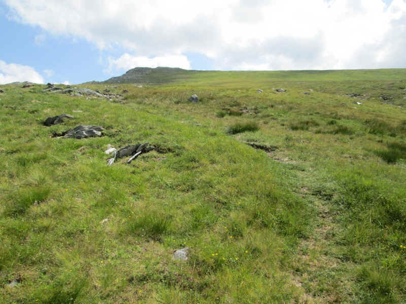
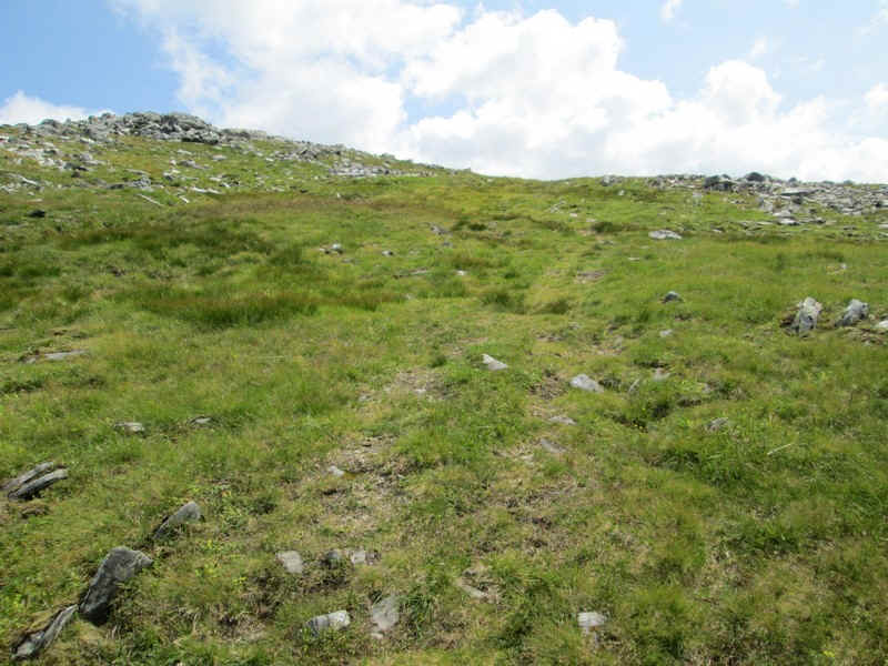
The track off to Beinn Fhada starts well, but soon disappears on the grassy and marshy moorland. I just walked uphill in a roughly south easterly direction
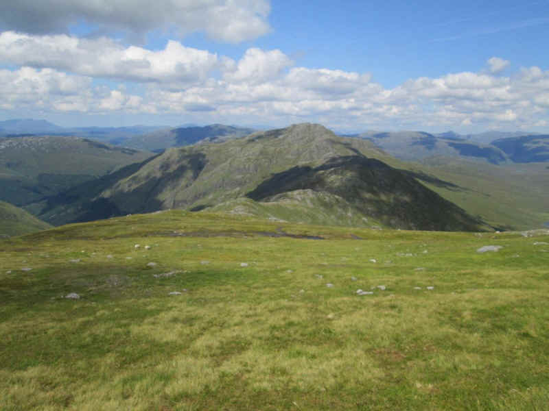
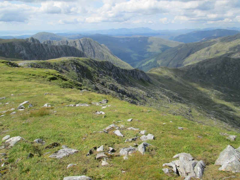
Looking back down Beinn Fhada's north east ridge with the next day's objective, A'Ghlas Beinn, in view.
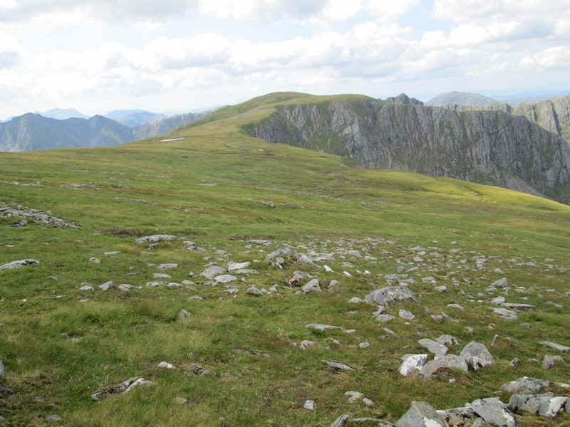
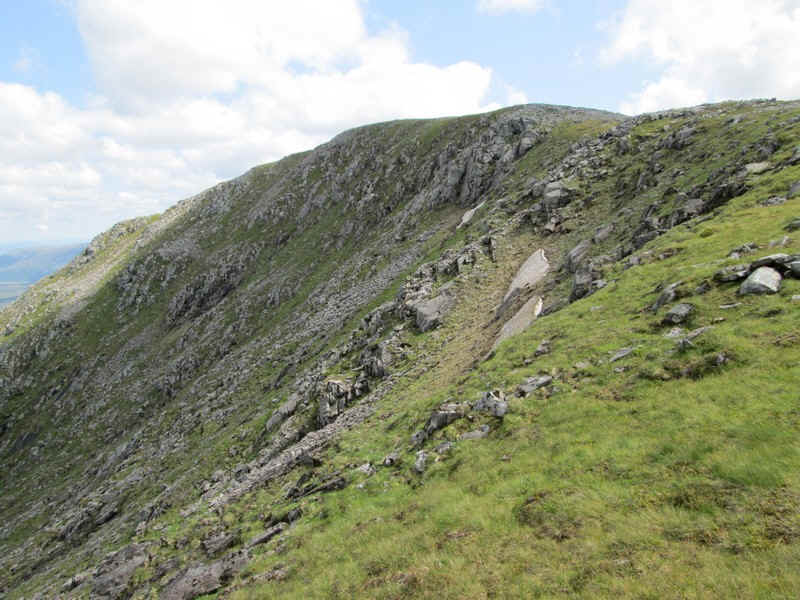
This fantastic view shows Plaide Mhor, the almost level crest of the hill above the corrie cliffs.
As the ground becomes drier and stonier a path reappears...
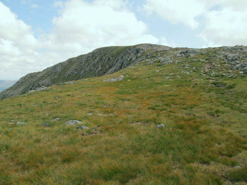
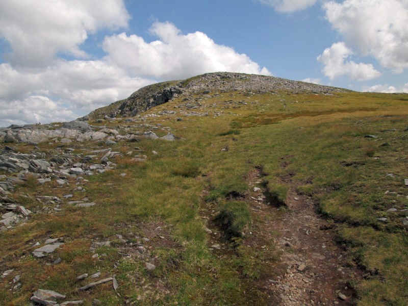
....and makes its way closer to the north east side of Beinn Fhada with the summit now in view.
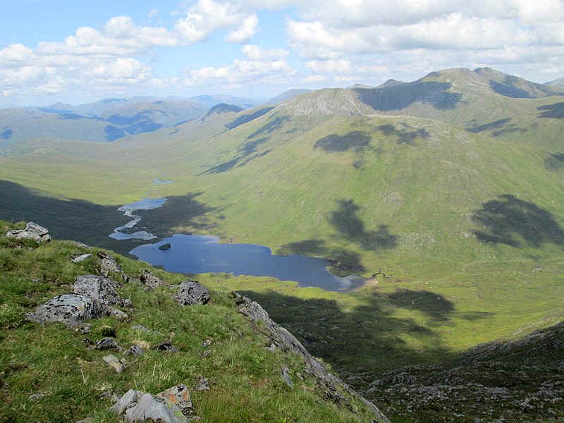
Down below, in Gleann Gaorsaic, are the Loch a' Bhealaich and Loch Gaorsaic.
Even in late July there were still a few patches of snow left.
The final climb to the summit...
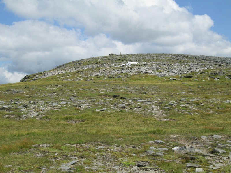
....with what looked at first like a pile of snow..
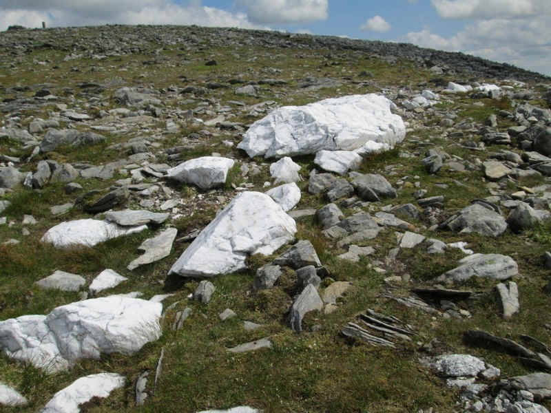
...but turned out to be pure white quarzite.
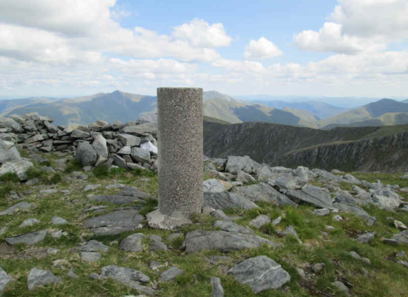
The trig point is a cylindrical concrete column next to a wind shelter.
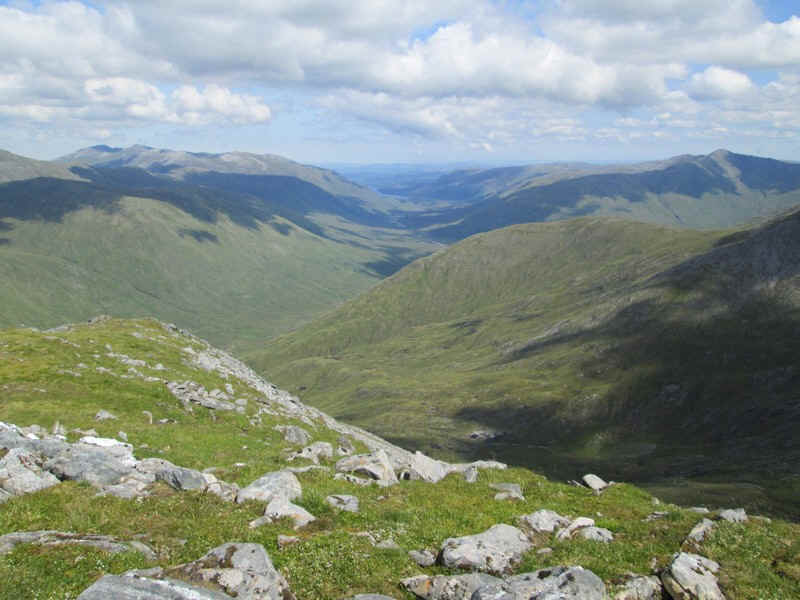
The view looking down Glen Affric.
...and back down the ridge I'd walked up.
The climb had taken about five and a half hours from the hotel and five from Morvic, although I'd had several breaks and stopped to talk to three other walkers. The return walk took me four and a half hours again with several breaks.