Beinn Fhionnlaidh
The way points on this map are taken from my GPS Spot tracker. You can make the map bigger or alter its appearance by clicking on the controls.
I had previously attempted to climb Beinn Fhionnlaidh in 2015 but high winds on the higher slopes meant that I abandoned the final climb. I returned in June 2017 to try a second time and was rewarded with excellent conditions.
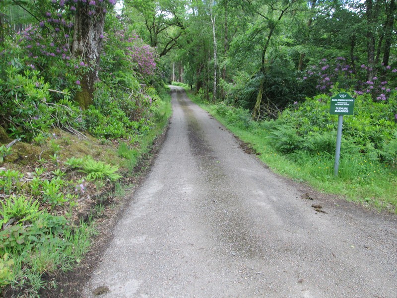
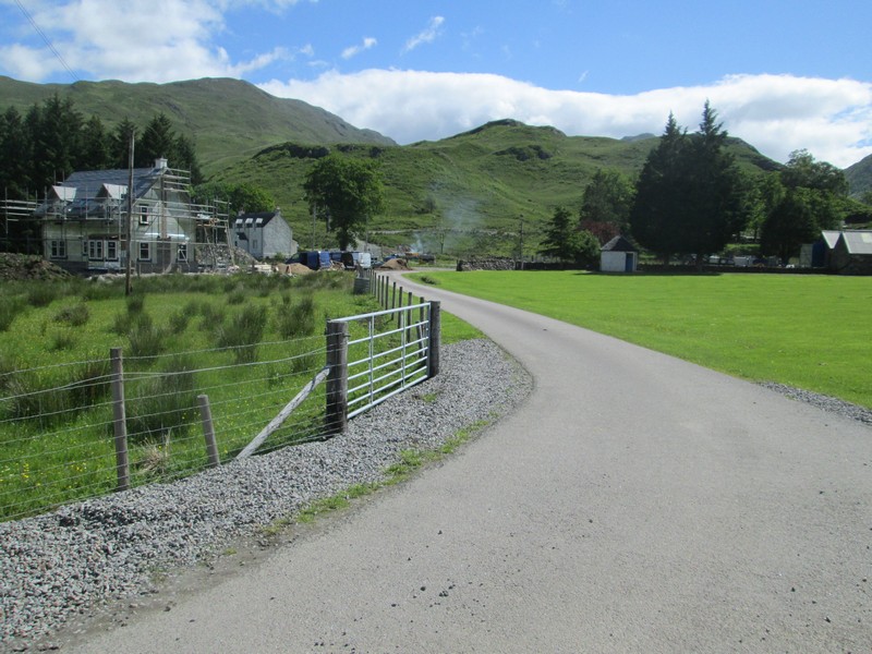
The walk starts at the car park at the end of the public road at Elleric and continues along the private estate road to Glenure.
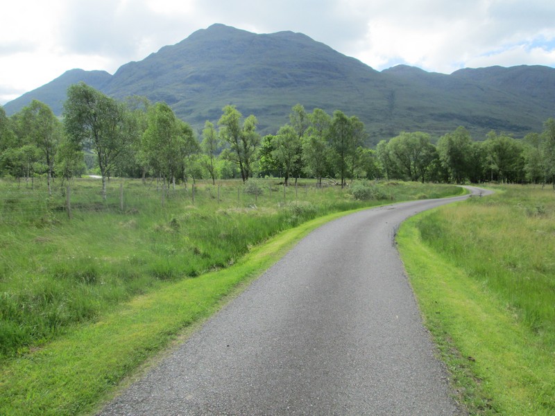
Ahead is Beinn Sgulaird, which I've tried twice to climb and failed, the first time because I ran out of time before having to return to catch my bus back to Oban and the second time because of a sudden storm with high winds.
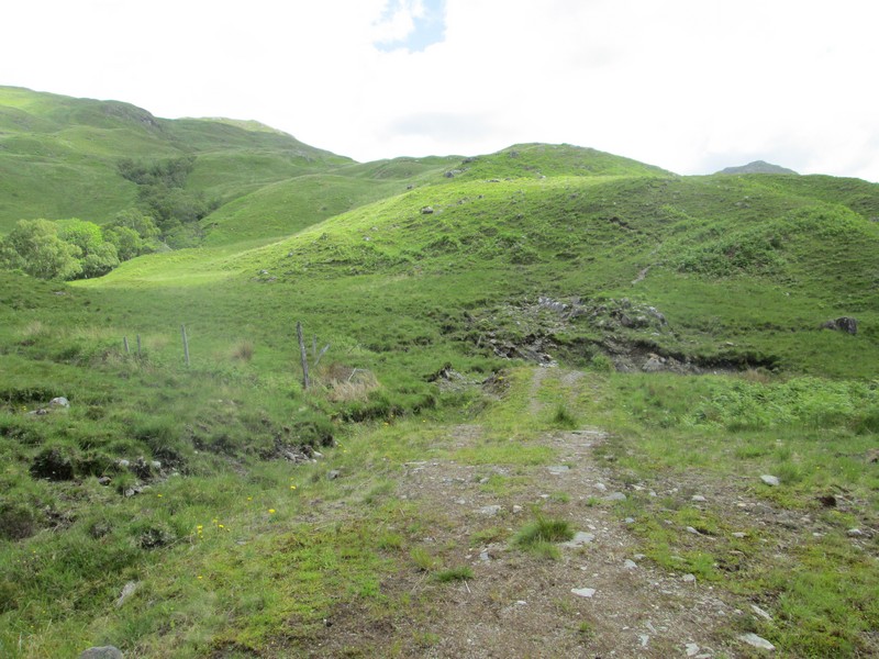
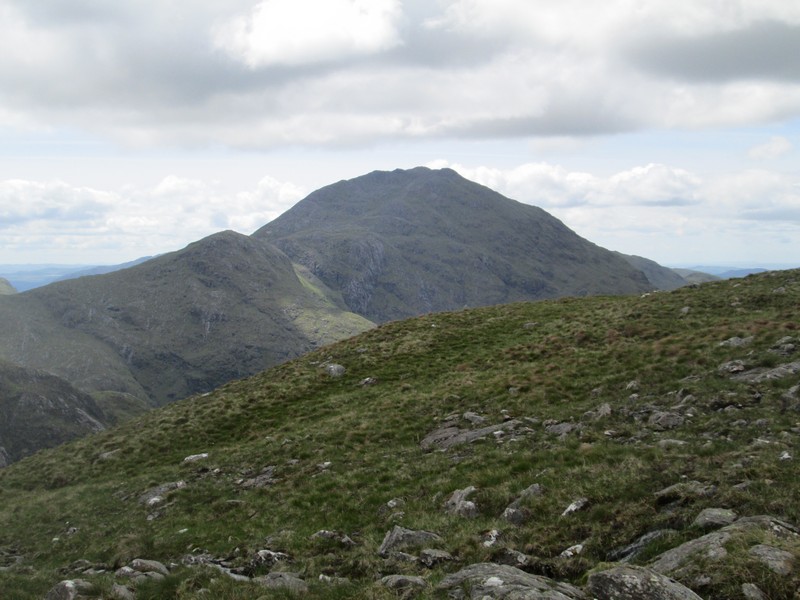
Over to the left are the sopes of today's hill, although Beinn Fhionnlaidh's summit is six kilometres away and is not in sight. The impressive looking peak on the right is An Grianan a mere 549m above sea level.
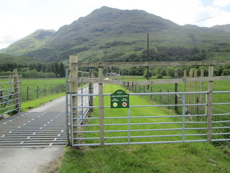
The estate has provided some way marking to both Beinn Fhionnlaidh and Beinn Sgulaird.
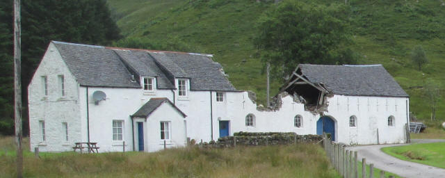
On my previous there was a storm damaged barn here which has now been replaced by a new house which was still under construction as can be seen below.
The way to the hills branches off to the left on this road just before the buildings at Glenure.
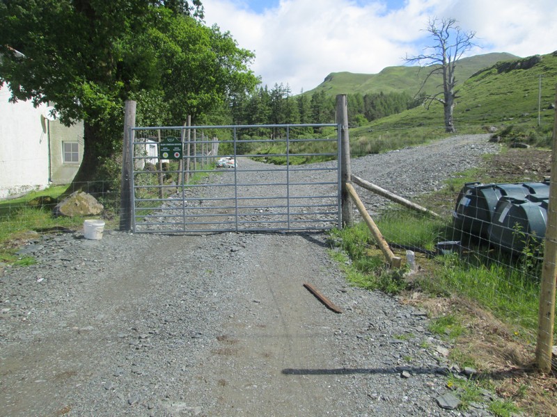
Beyond the gate the tracks ot the two Munros split with that to Beinn Fhionnlaidh going straight ahead...
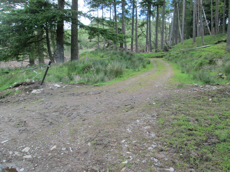
... to reach a junction heading off to the right through the trees. Much of the plantation here has now been felled and I initially missed the turning and had to return to find the junction.
The forest track ends abruptly at a turning point at about NN 049 485.
After a short distance the track splits at a small cairn. The more obvious track off to the left heads off up Glen Ure and is not the one we want. Take the left hand track...
...which continues easily uphill.
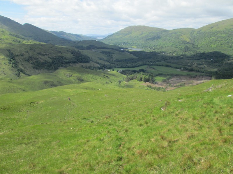
Looking back into Glen Creran with the islands of Lismore and Mull in the distance.
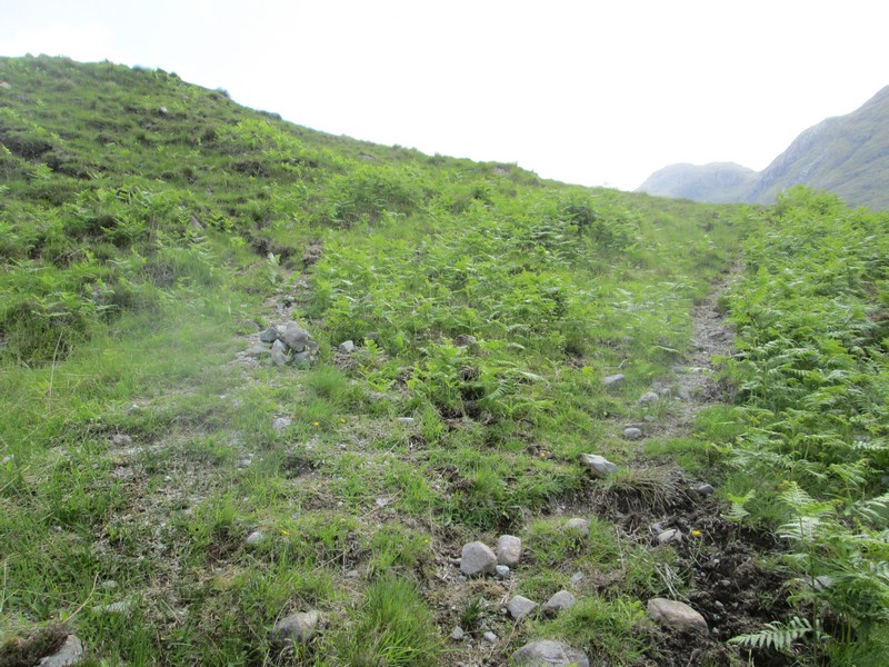
There's a fairly clear path for quite some distance..
...but inevitably it disappears and you have to find your own way in certain places.
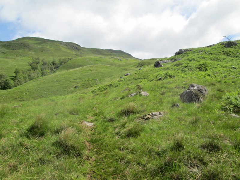
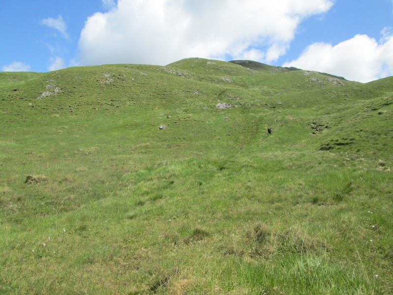
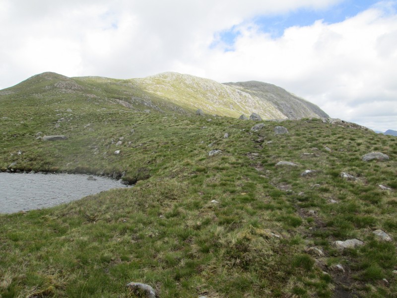
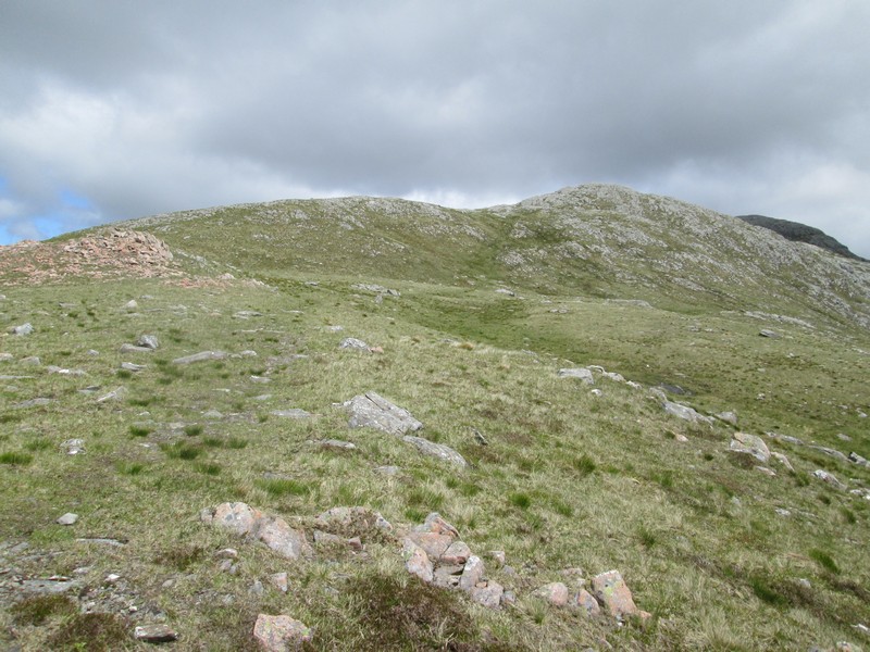
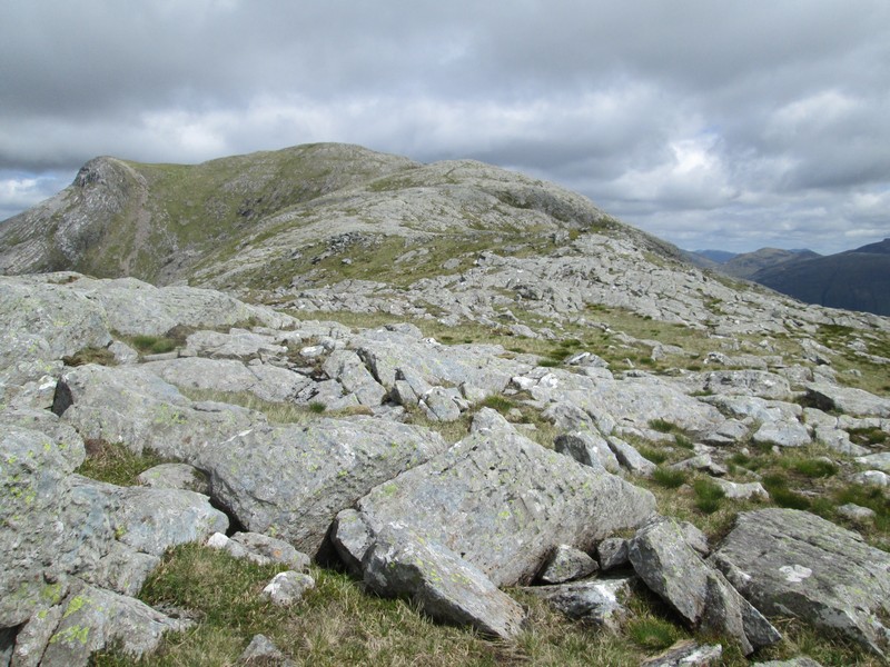
Eventually the summit of the hill comes into view but it is still a long way away.
Another backwards glance over Loch Creran with the hills on Mull now cleaerly visible.
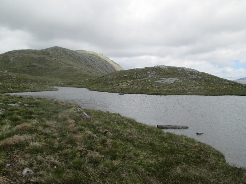
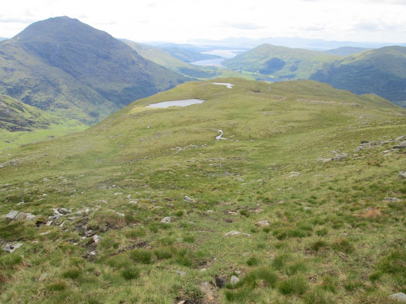
About two and a half hours after the start of the walk two lochans are reached...
...with the larger one being named on maps as Lochan Cairn Dearg. There is still another 2km to go before the summit is reached so time for lunch.
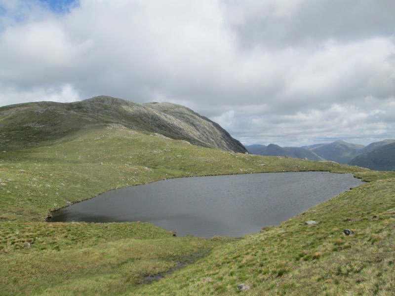
Beyond the lochans a clear path reappears and can be followed most of the way to the summit.
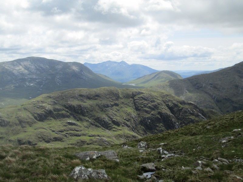
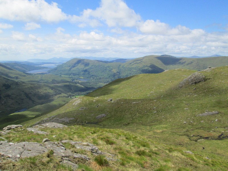
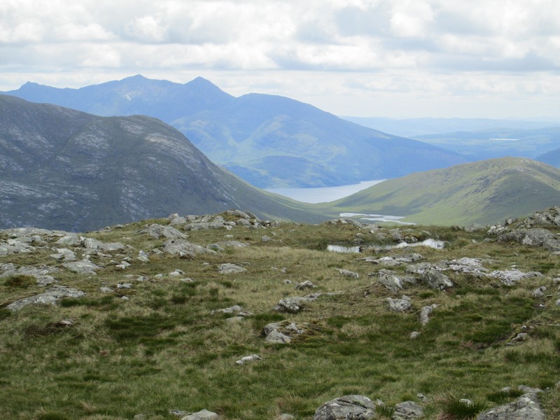
Looking south the waters of Lochan an Lair can be seen with the Munros of Stob Daimh and Ben Cruachan about 12 miles away.
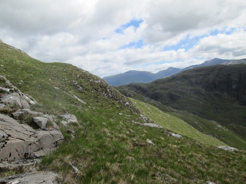
Looking back at the bulk of Ben Sgulaird.
The path heads relatively gently uphill along the ridge.
Looking back down towards the two lochans.
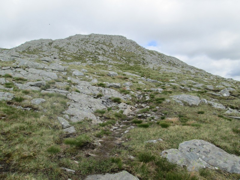
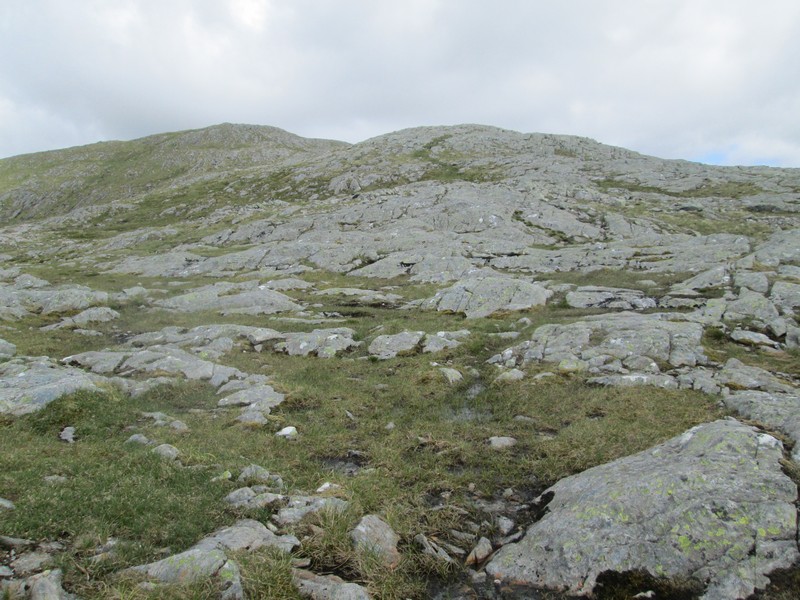
Further up the hillside becomes increasingly stoney...
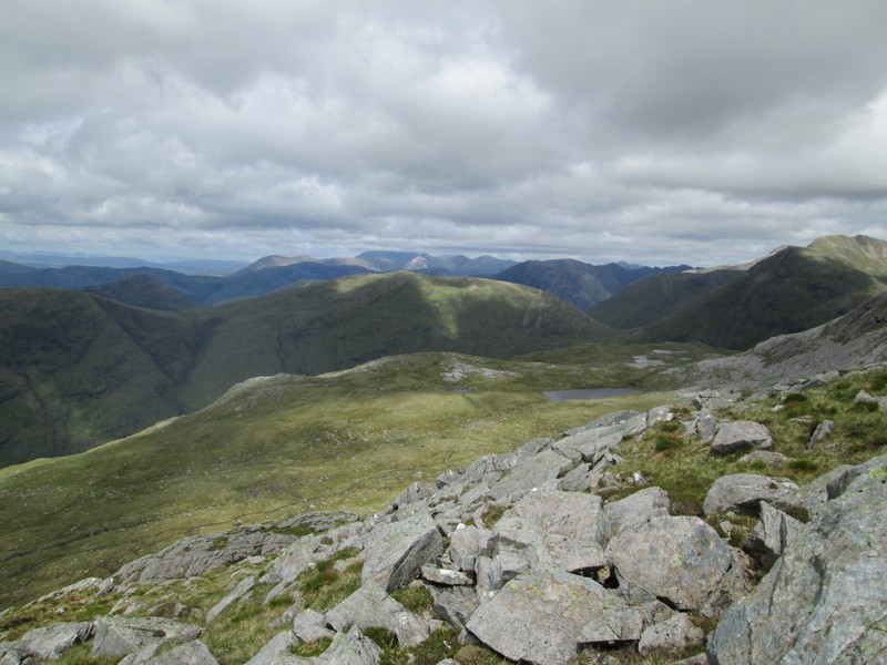
...but the views also improve. This is looking north with Ben Nevis (capped in cloud) in the distance and the Glencoe hills on the right
Picking a way through the rocks...
Looking south to Loch Etive and Ben Cruachan with Loch Etive now visible.
Looking towards Ben More on Mull with the island of Lismore in the centre
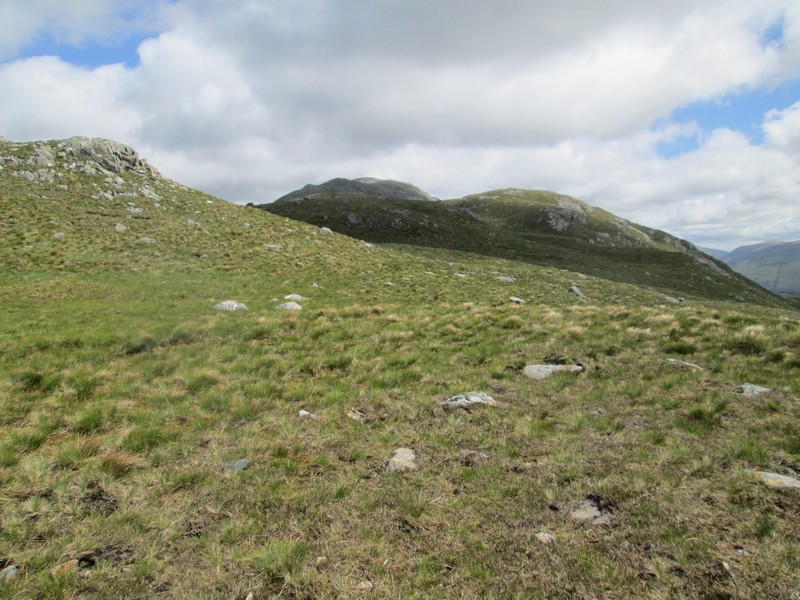
The summit is in view again and the path picks its way through the slabs of rock,
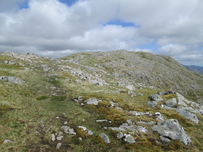
The final approach to the summit is largely on grass..
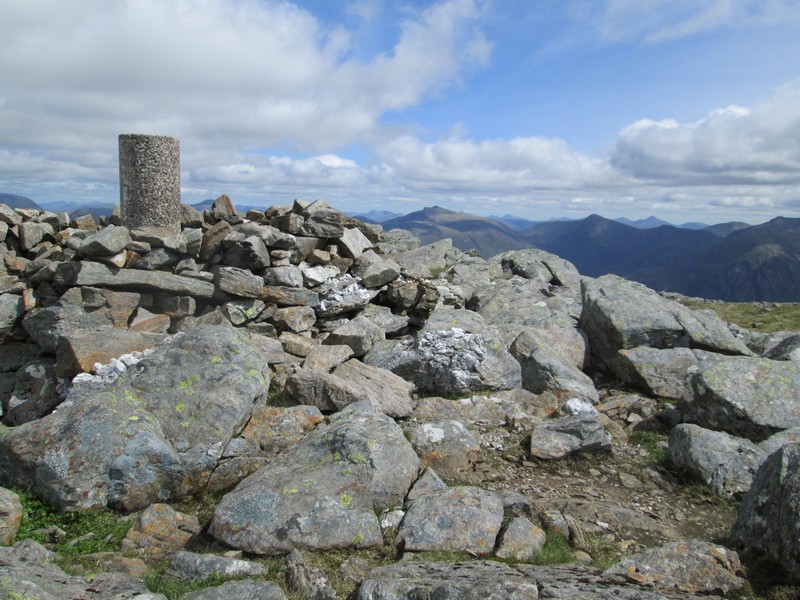
...to reach this cylindrical concrete trig point at 959 metres, not particularly high, but since the walk starts almost at sea level there is about 3150 feet of ascent.
The walk had taken exactly four hours from Elleric including several breaks for snacks and lunch.
Click on the photo for a larger image and then click again on the image to see it full size.
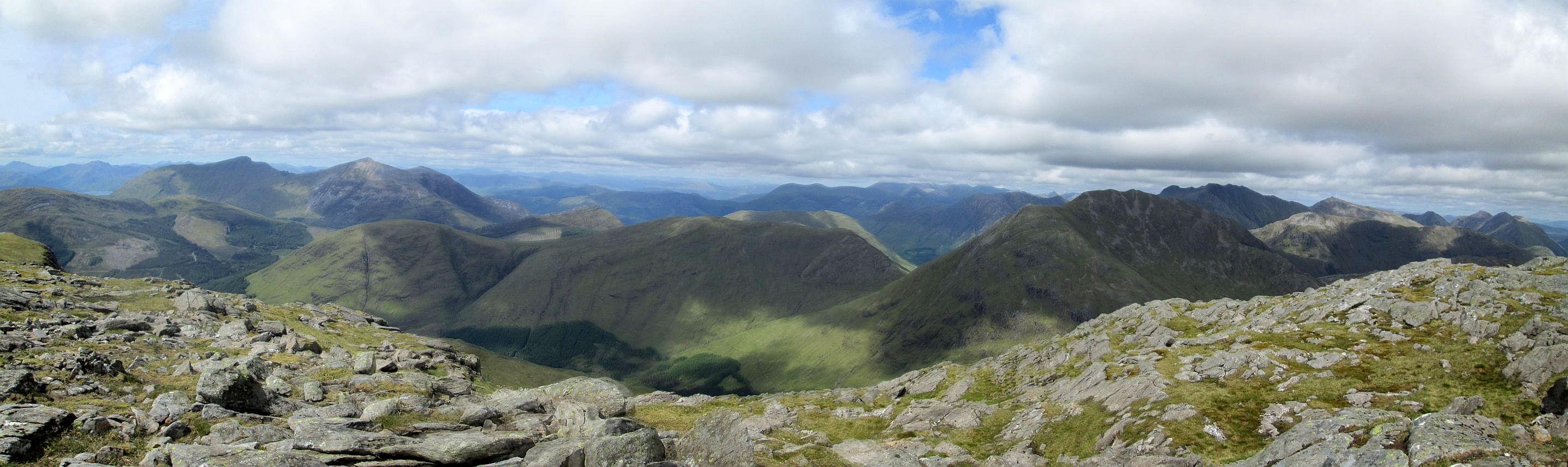
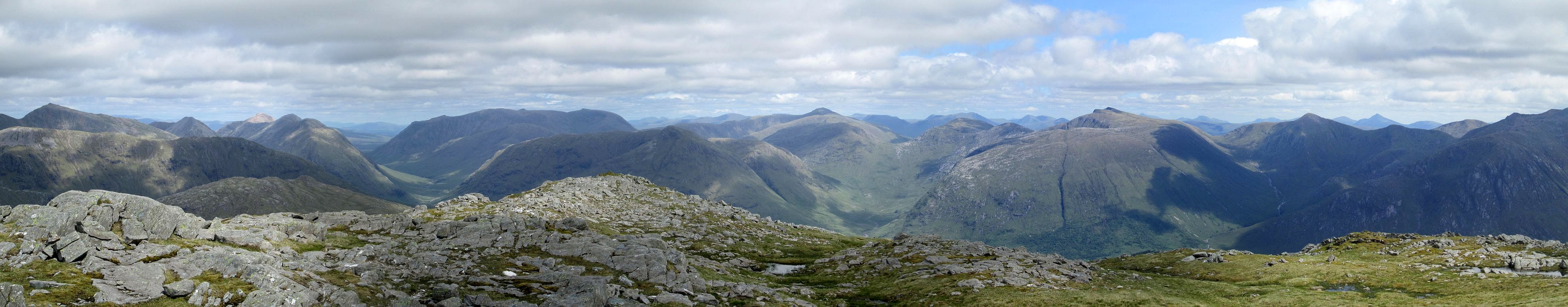
On the left are Sgorr Dhonuil and Sgorr Dhearg above Ballachulish. In the distance under cloud is Ben Nevis. To the right of centre is Sgor na h-Ulaidh and beyond the highest point on the photo is Bidean nam Bian. On the right are Buchaille Etive Beag and Buchaille Etive Mor
Click on the photo for a larger image and then click again on the image to see it full size.
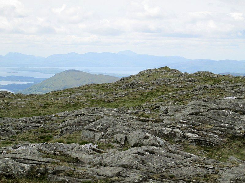
To the left are Buchaille Etive Beag and Buchaille Etive Mor with Glen Etive running below in the foreground. Stob Coir' an Albannaich is to the right of centre and Ben Starav to the far right.
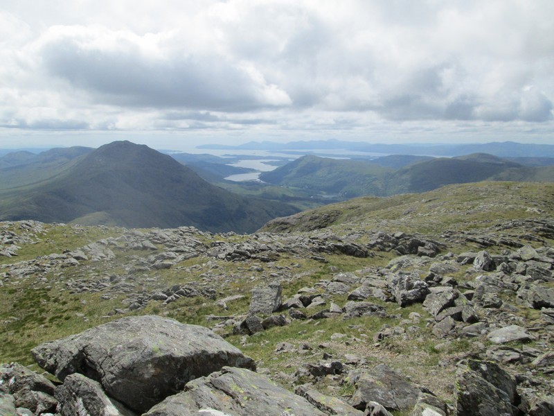
A final view from the summit looking out towards Mull. The return walk to Elleric took just under three hours.