Beinn Heasgarnaich
Click on the square in the top left hand corner to see a larger map or see the screen print below
In September 2017 I'd hoped to climb both Creag Mhor and Beinn Heasgarnaich together on one day. However, this proved too much of a challenge and I succeeded in only climbing Creag Mhor.
One morning in May 2018 found me leaving my hire car near Kenknock in Glen Lochay and walking past the farm to...
....start the climb up the private road to Glen Lyon with the aim of climbing Beinn Heasgarnaich.
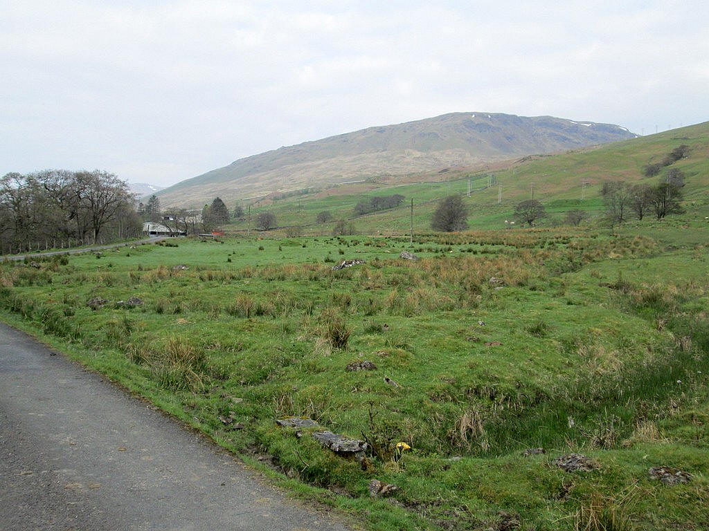
Behind me, across Glen Lochay, was Sgiath Chuil which I'd also climbed in 2017 on an extremely wet, cold and windy day.

A little further up the glen are the twin peaks of Beinn Cheathaich and the slightly higher Meall Ghlas (on the right). That Munro is going to be tomorrow's target.
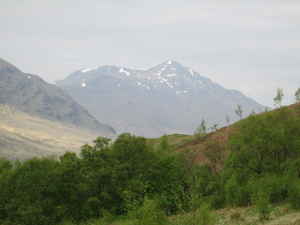
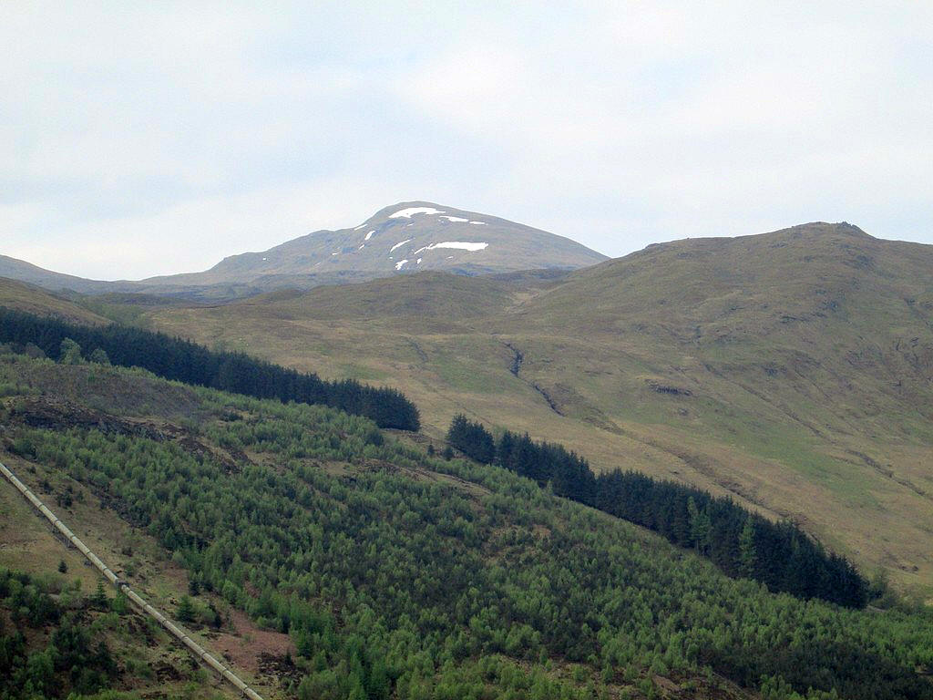
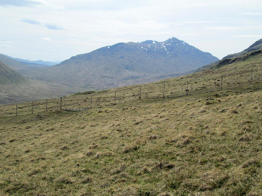
At the head of Glen Lochay is Ben Challum.
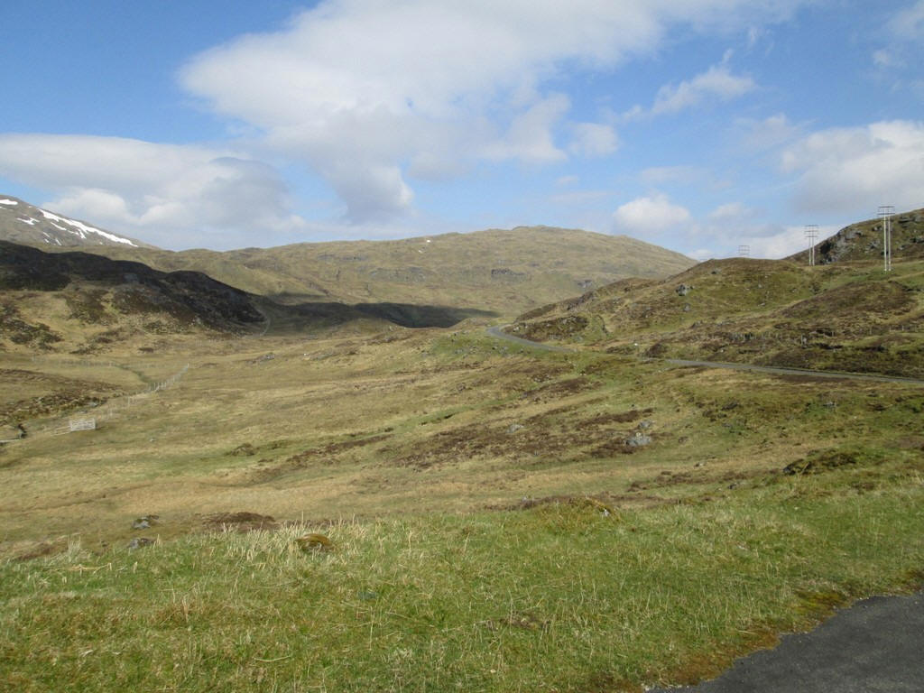
At the 350m contour a hydro track leaves the Glen Lyon road. My plan was to return along this on the way back from climbing Beinn Heasgarnaich.
Another look back reveals the snow clad face of Ben More peeping over the coll between Sgiath Chuil and Meall Ghlas.
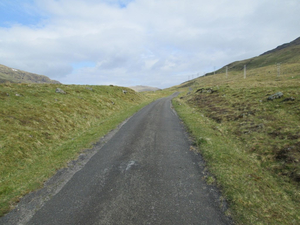
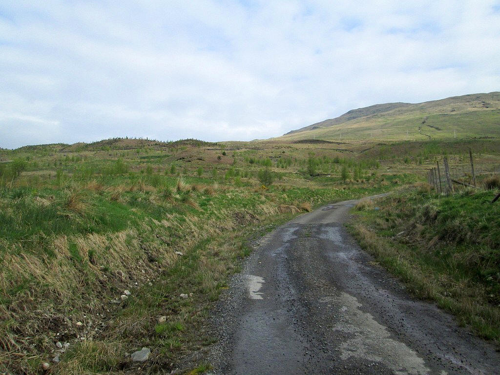
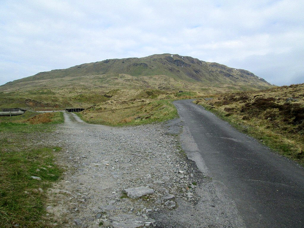
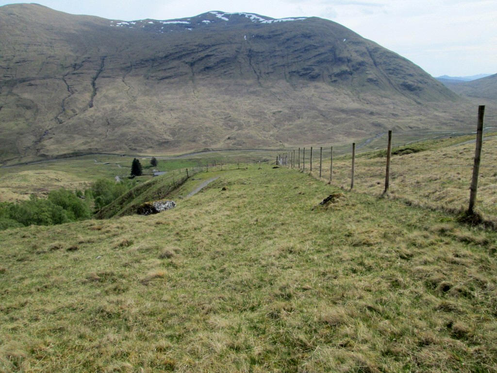
The road continues to climb towards the pass at Learg nan Lunn with the power lines from the Glen Lyon hydro scheme paralleling the road.
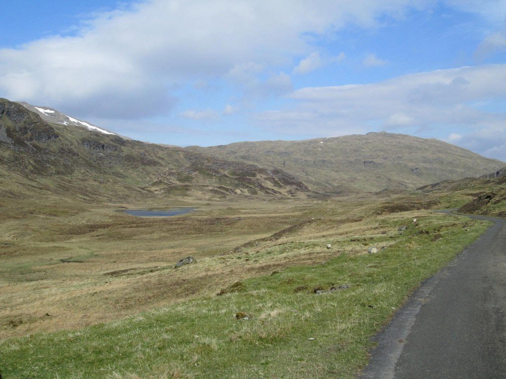
Lochan Learg nan Lunn comes into view..
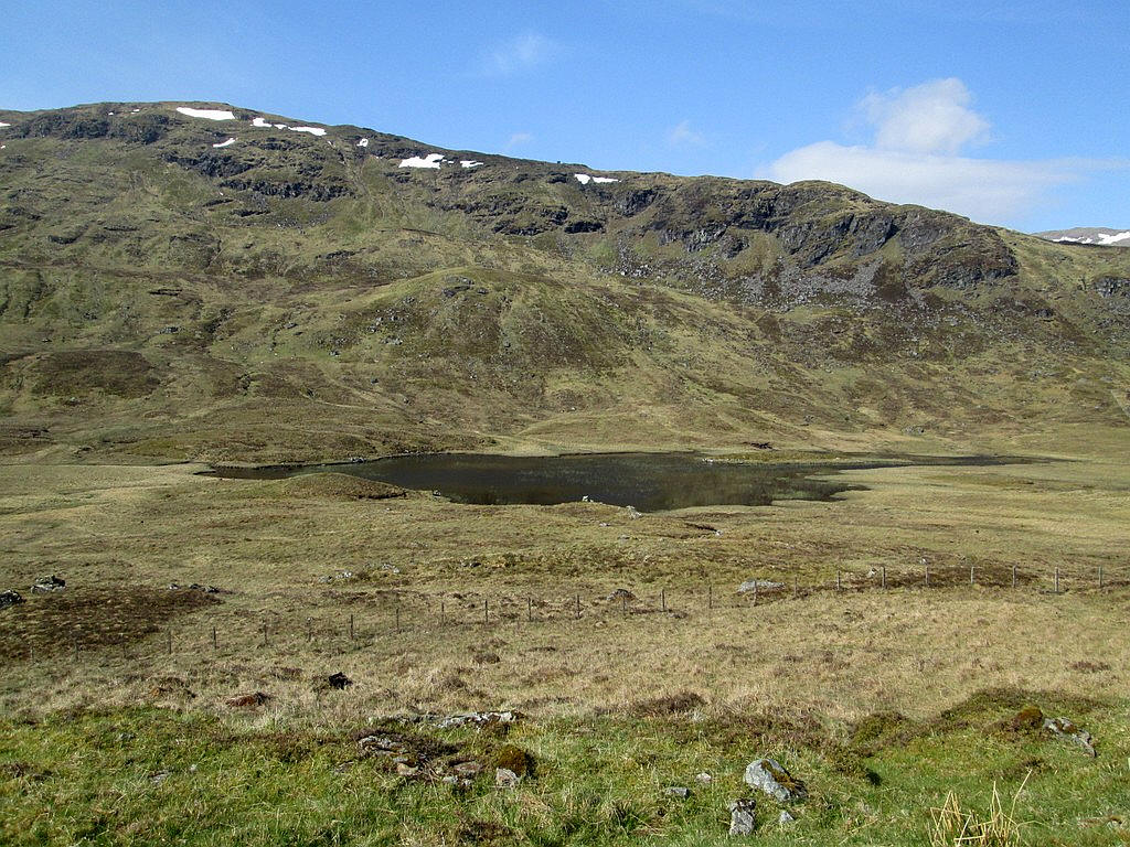
..with the crags of Creag nam Bodach beyond.
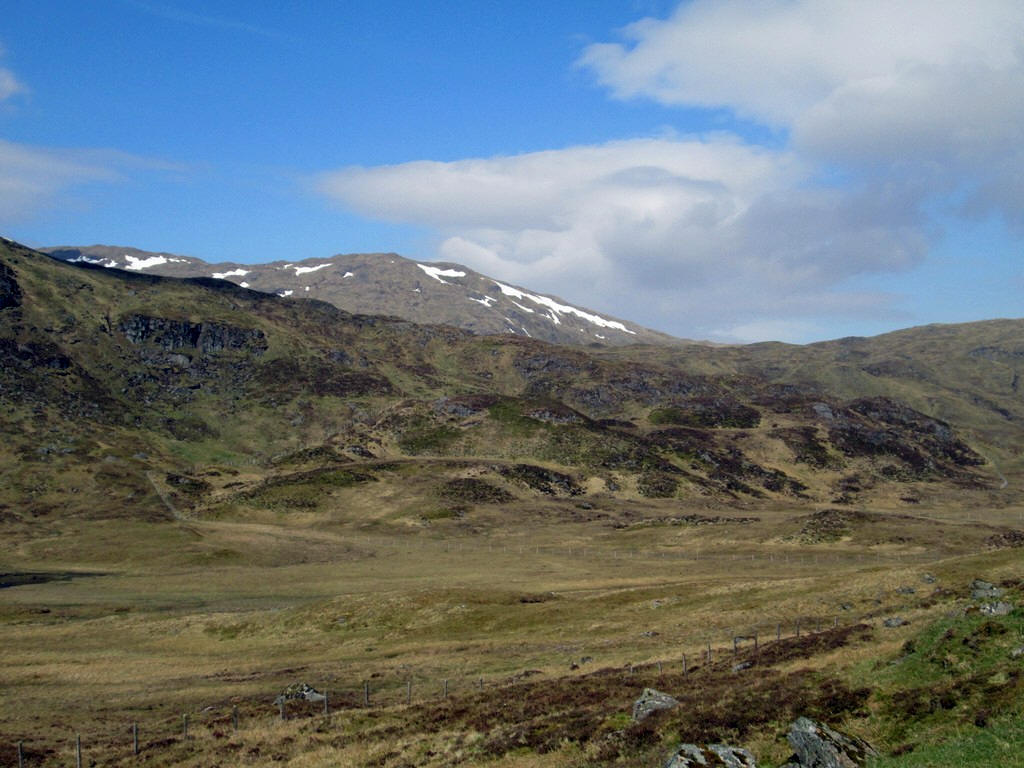
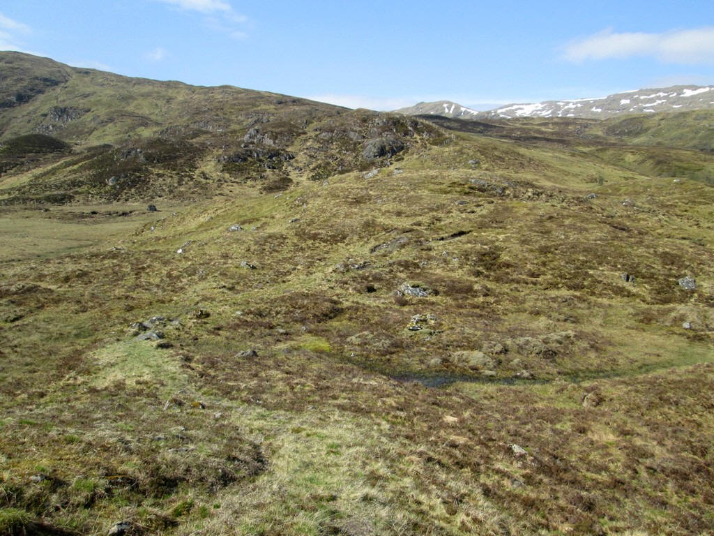
A little further on the ridges leading up to Beinn Heasgarnaich come into view...
....and the road flattens out...
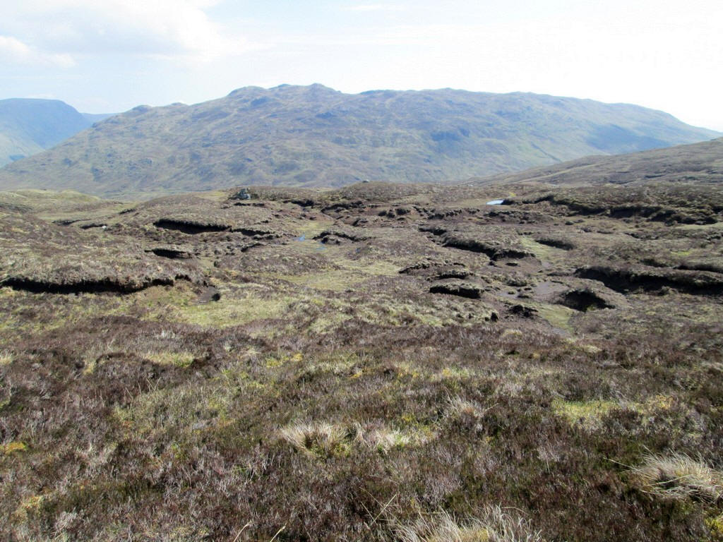
Just before the road starts to drop down into Glen Lyon at about NN448392 I strike off across the moor. For a few yards there is a vague track...
...but that soon disappears and I use the map and waypoints I've put into my GPS to walk in the direction I've decided on. I walk along a stream to about NN 443391....
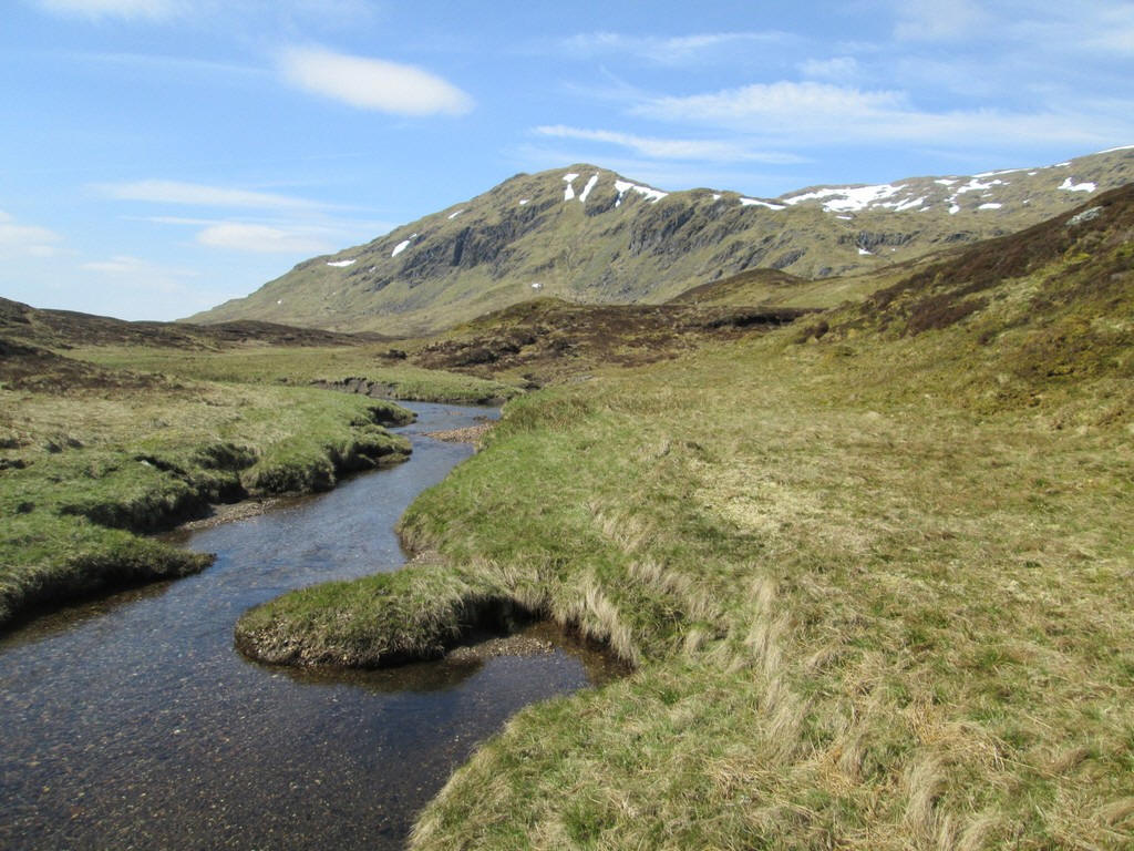
....and cross over it to the northern bank.
Looking back down hill into Glen Lyon with the Lubreoch dam just visible in the centre.
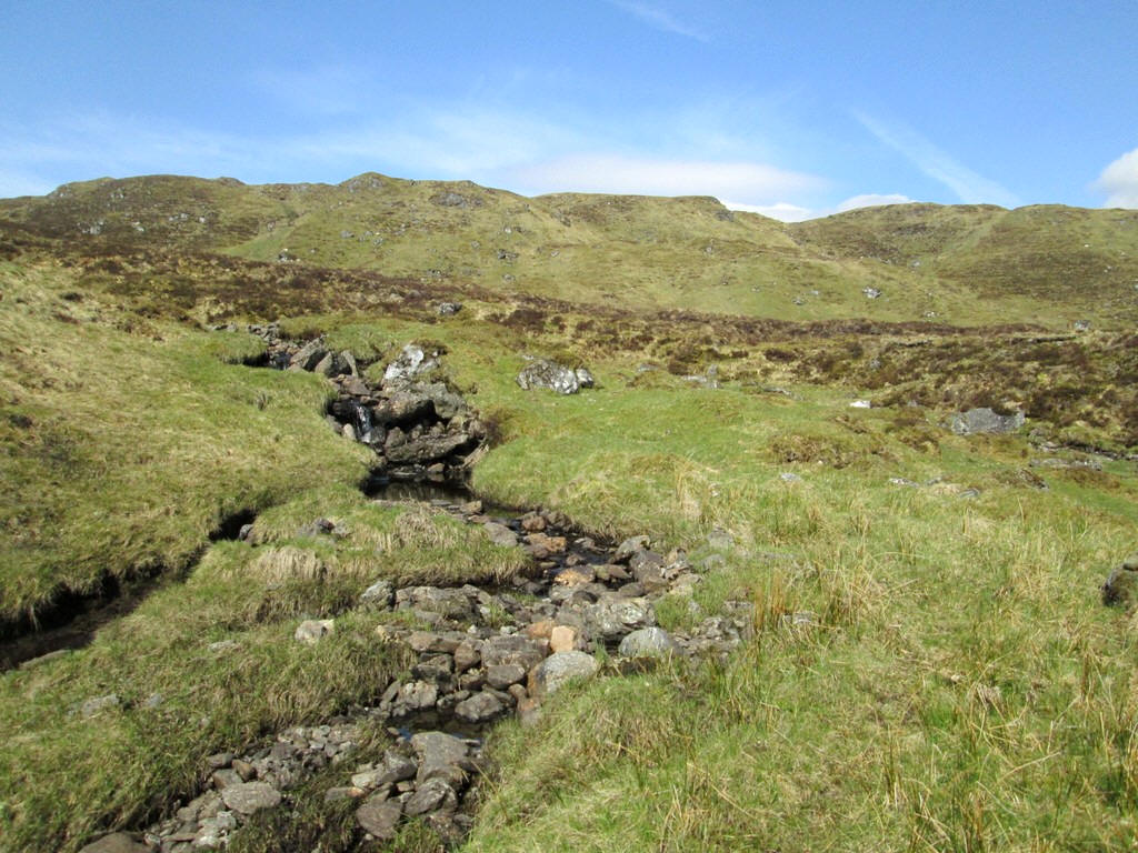
For a short distance I follow a track by the stream...
...before cutting across the moor towards the Allt Tarsuinn.
Luckily the ground is quite dry but I suspect this would be a less pleasant walk when the ground is wet.
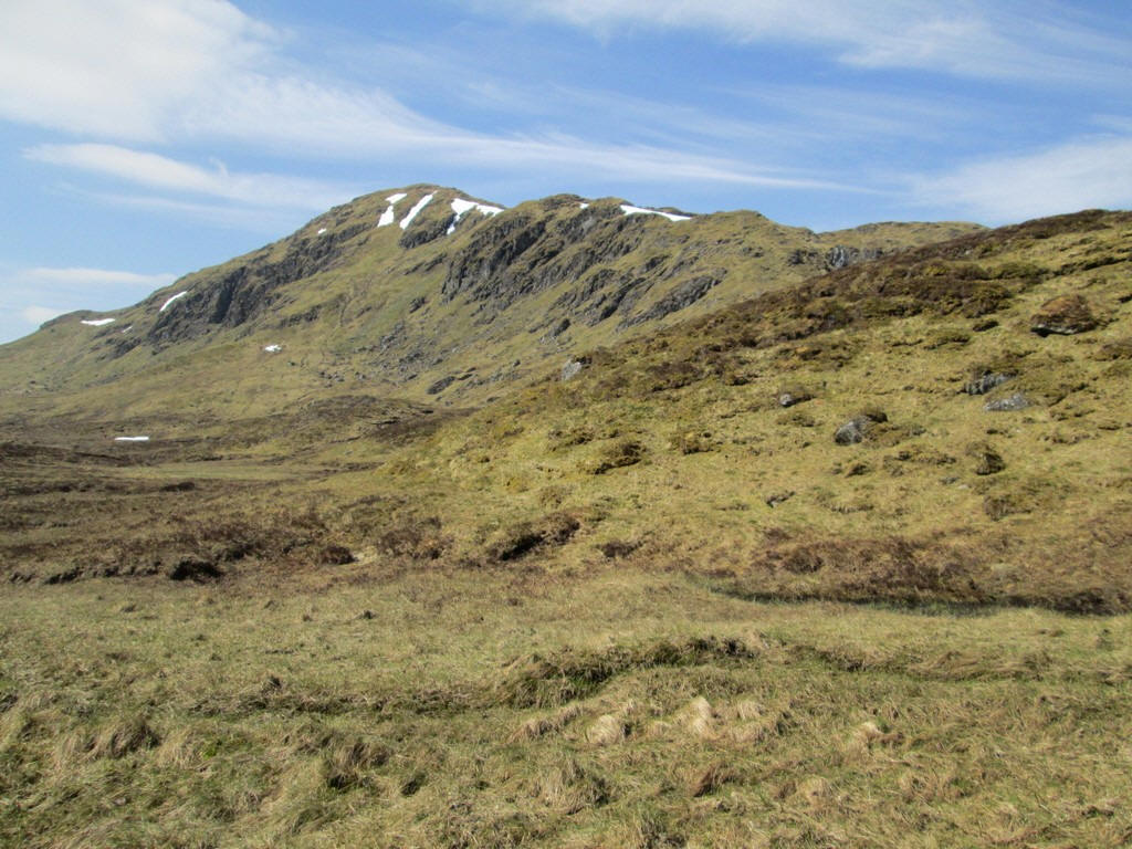
I reach the bluff above the Allt Tarsuinn at about NN436388 and decide to have a short break as I've been walking for about two and a half hours.
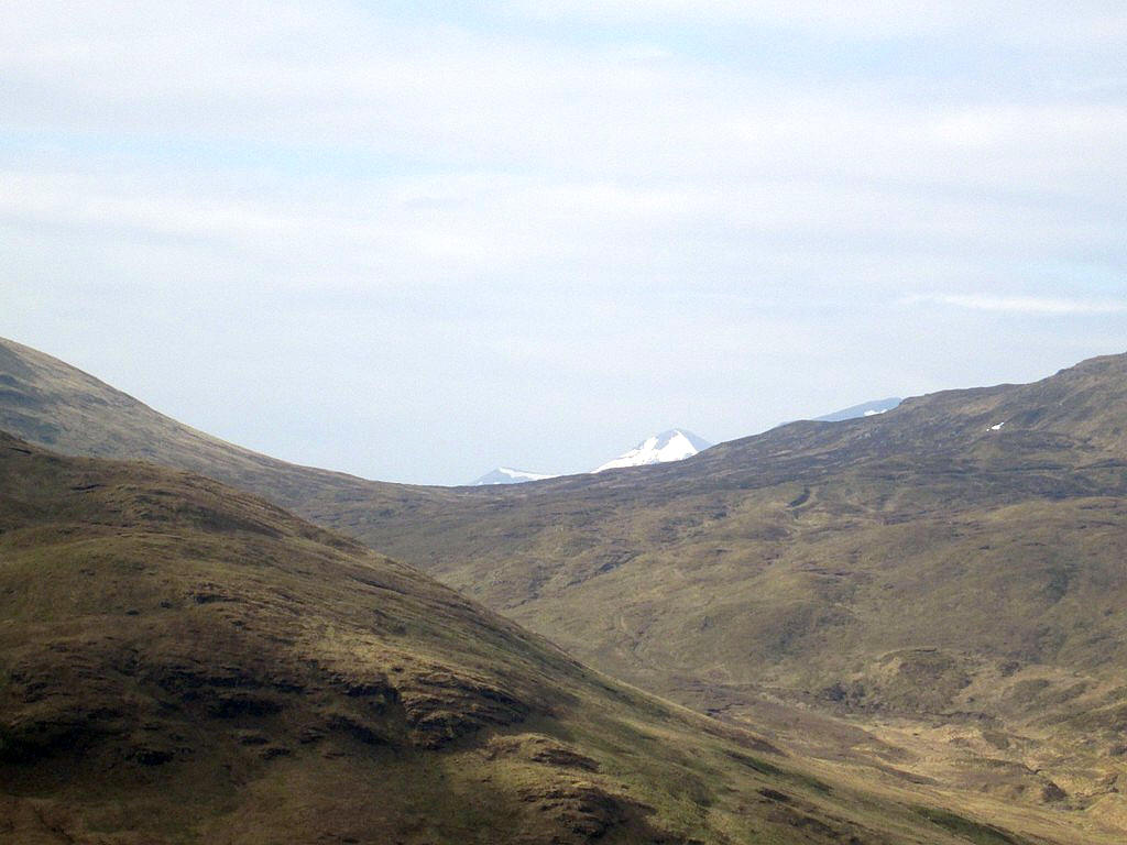
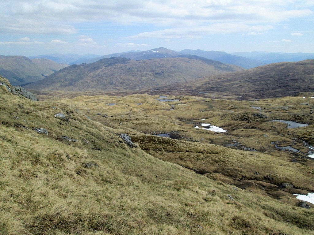
Looking back the Corbett, Meall nan Subh, can be seen (beyond the road over the pass).
I cross over the Allt Tarsuinn...
....and head away from the stream across the hillside rather than following its bank as it performs a wide loop.
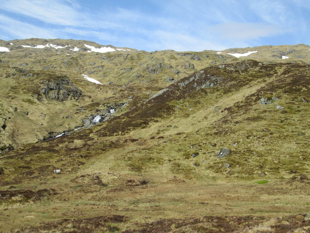
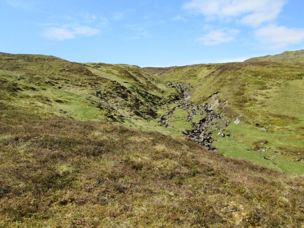
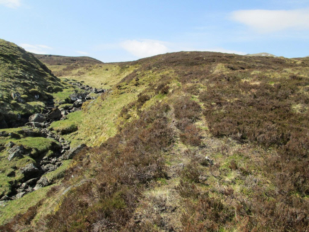
The waterfalls of the Allt Tarsuinn come into view as I aim for about NN430386
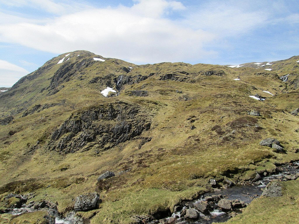
Above the stream is the spur of Creag na h-Achlaraich..
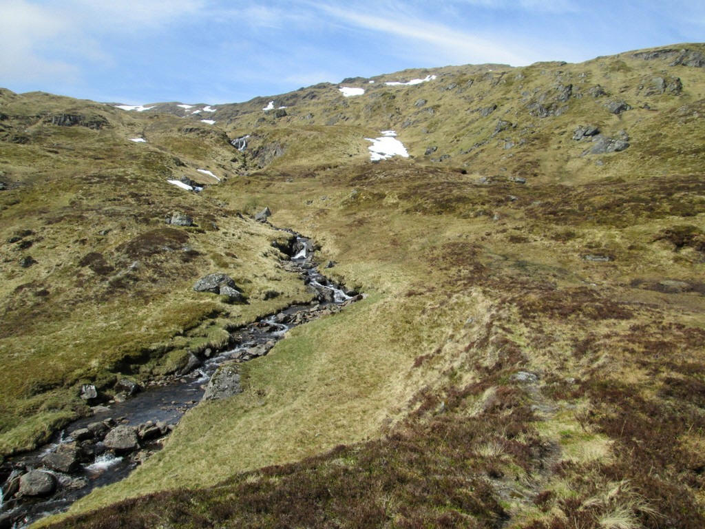
...but I follow the stream up into the corrie below Beinn Heasgarnaich.
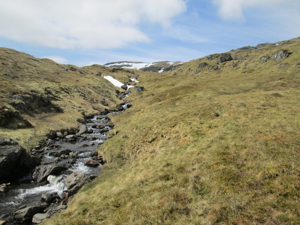
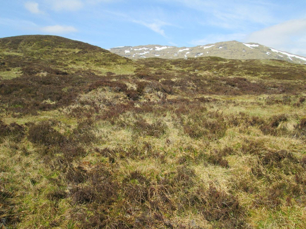
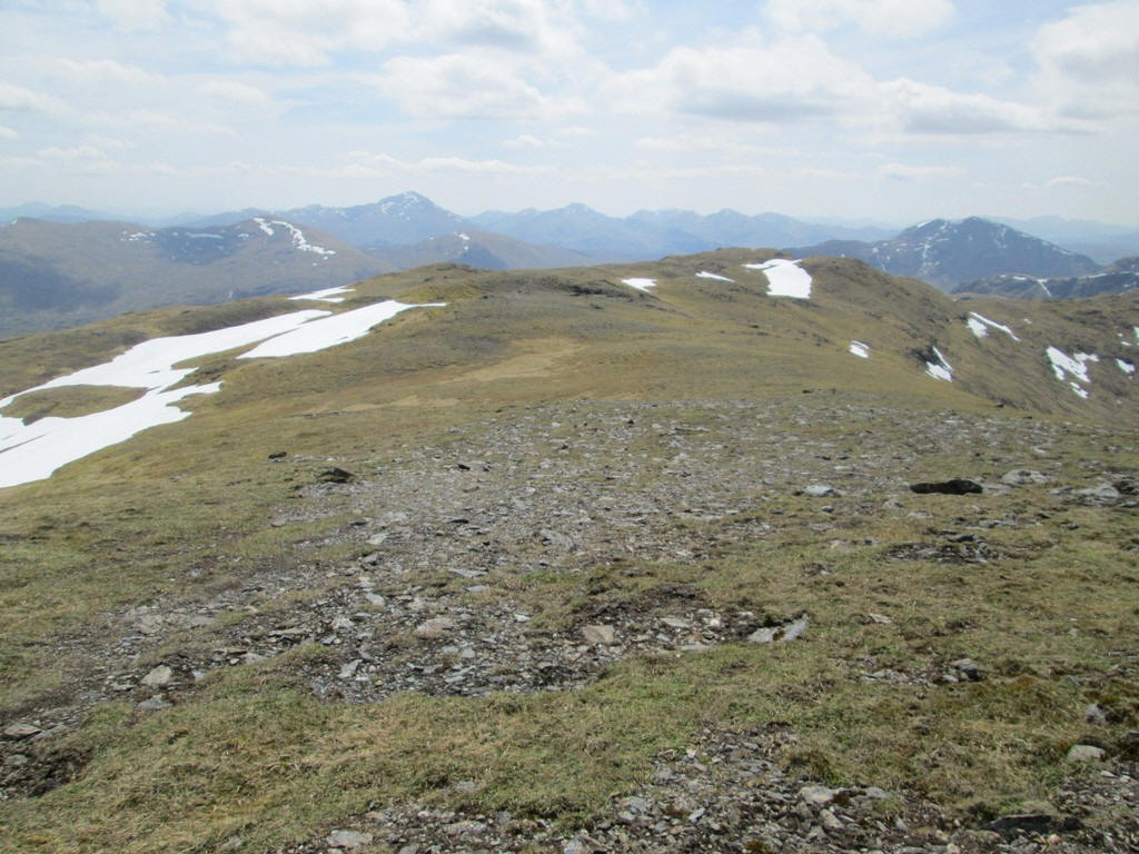
It's a lovely section of the climb as I head towards about NN424386.
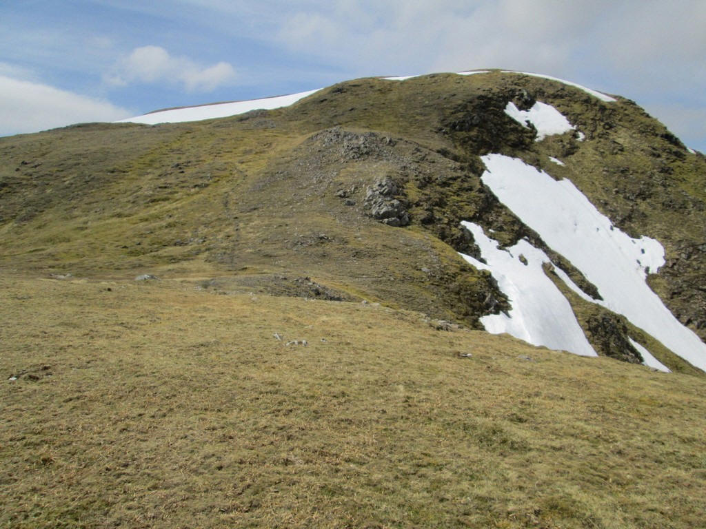
The gradient steepens at the head of Coire Ban Mor..
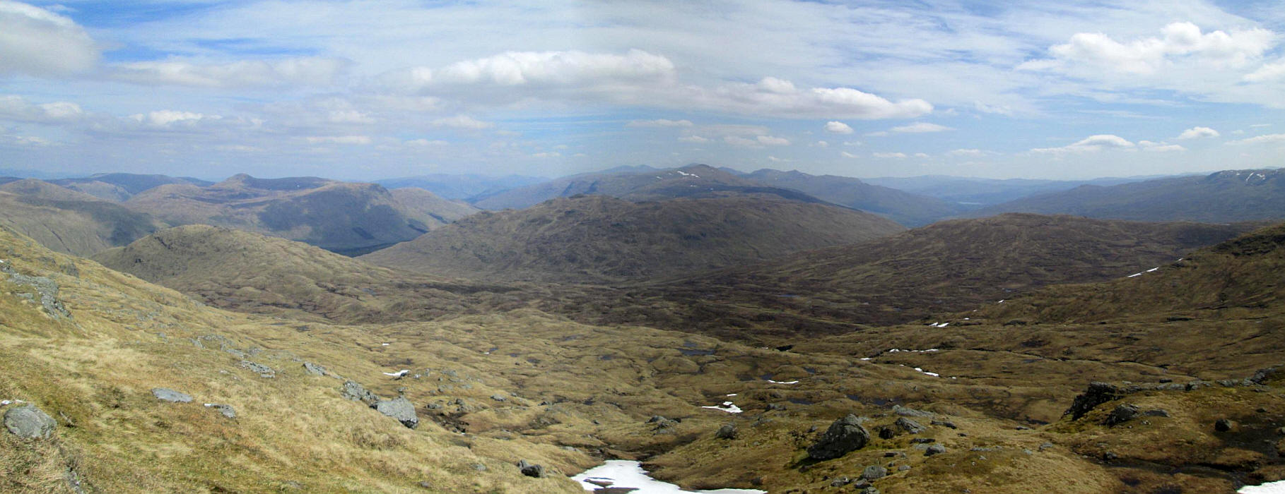
..and I take a few photos to stitch together to make this panorama. Click on the image and then click on the new image to see it full size. Over to the right the waters of Loch Tay can be seen.
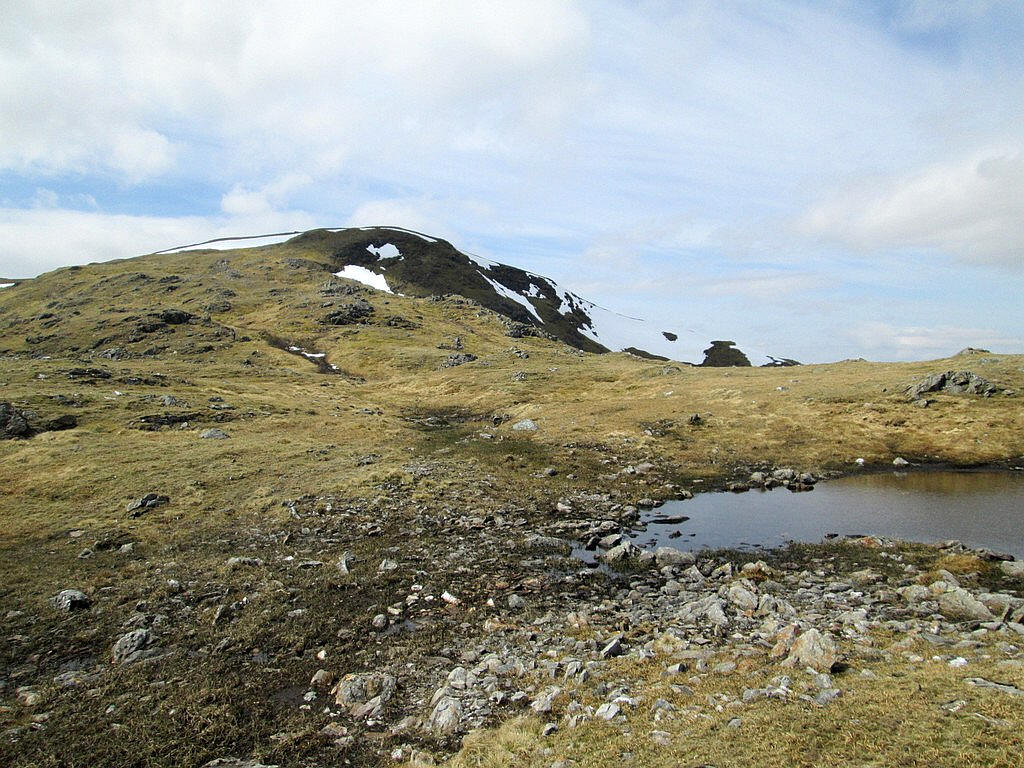
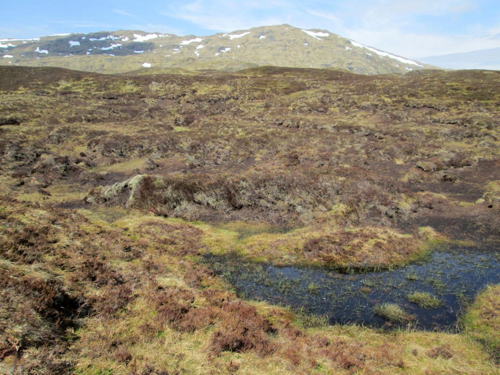
I come out on the main ridge at about NN420386 near a small pool with the summit now in view.
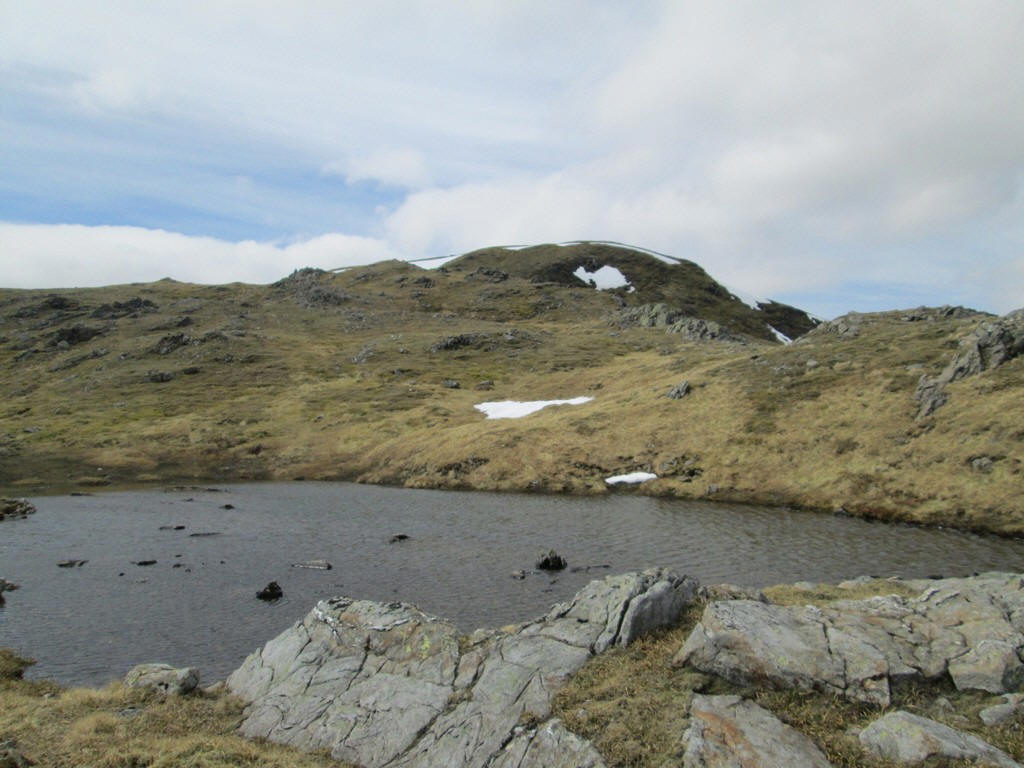
There's another larger lochan nearby at NN419386.
The summit of Beinn Heasgarnaich. Loch Lyon is below with the Munro Beinn Mhanach just to the left of the loch.
Click on the image and then click on the new image to see it full size.
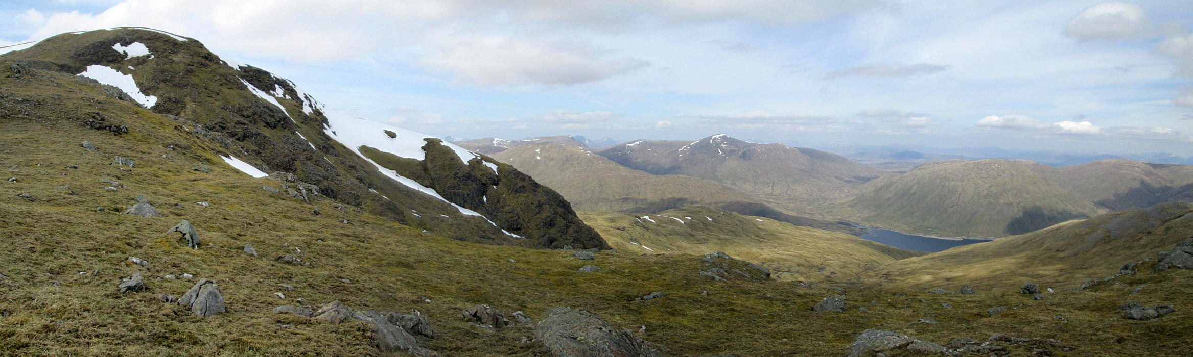
There's a slight drop before the final climb....
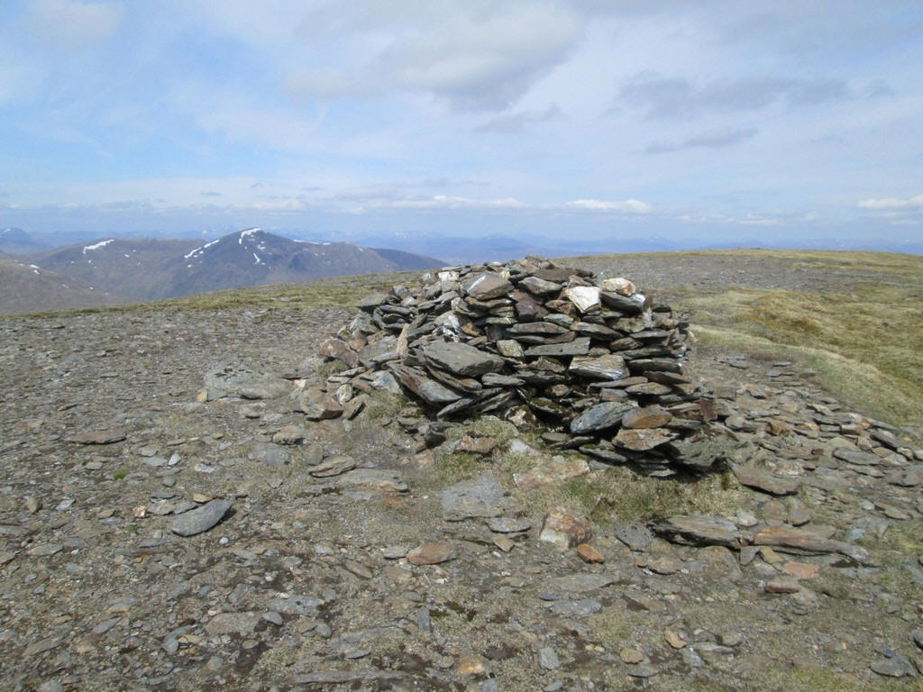
....to the summit cairn of Beinn Heasgarnaich at NN413383. It had taken me just under four hours from the car park of which probably about half an hour were breaks and having a chat with a young Polish man from Dumfries. He was bagging both the Munro and the nearby Corbett and his total was 8 Munros more than me.
Beinn Heasgarnaich was my 180th Munro and the first one in 2018.
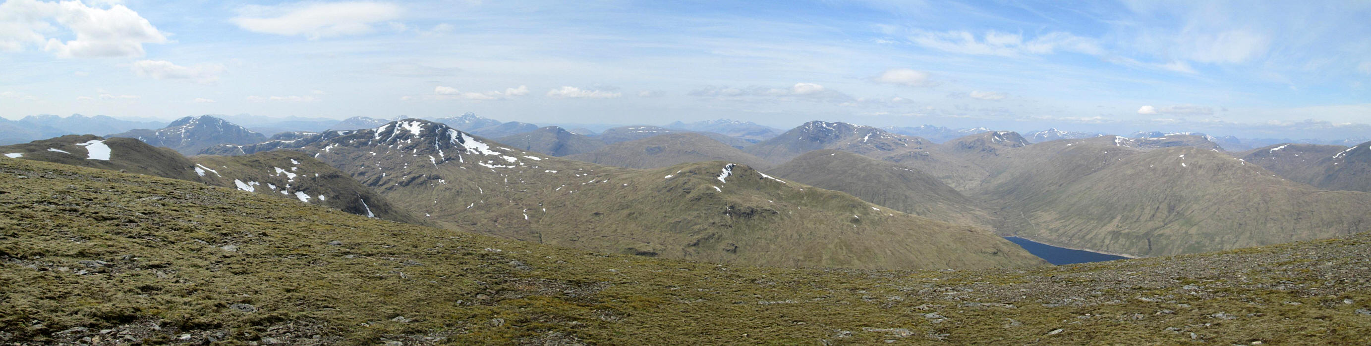
Summit panorama looking towards the south and west.
Click on the image and then click on the new image to see it full size.
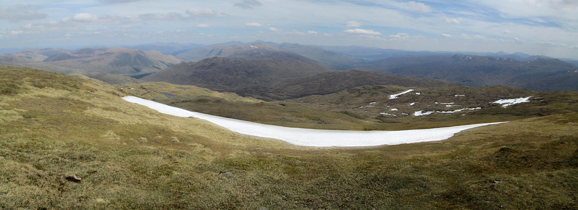
Summit panorama looking towards the east.
Click on the image and then click on the new image to see it full size.
After a break for lunch I decided not to return the way I had come up the hill, but to head off down the slopes to join the hydro road. Heading almost due south to about NN414378 it was a lovely stroll in the sun, although the wind was chilling the air slightly and I needed my jacket on. Then it was off down the slopes
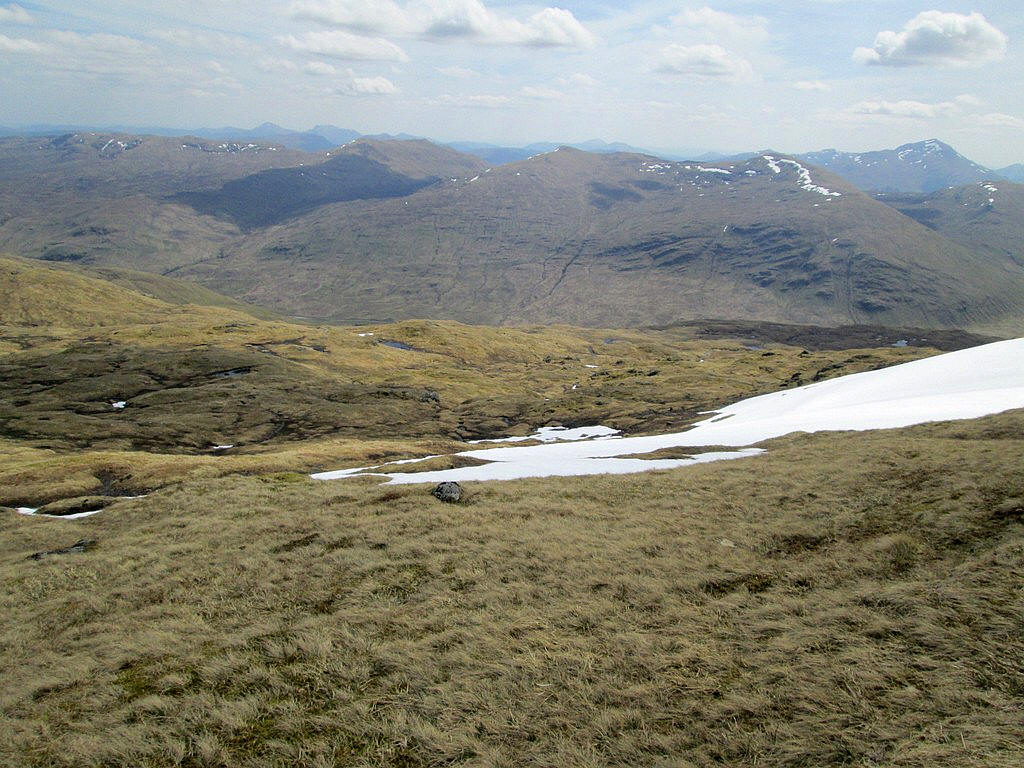
The hillside was generally quite dry although there were several large snow patches.
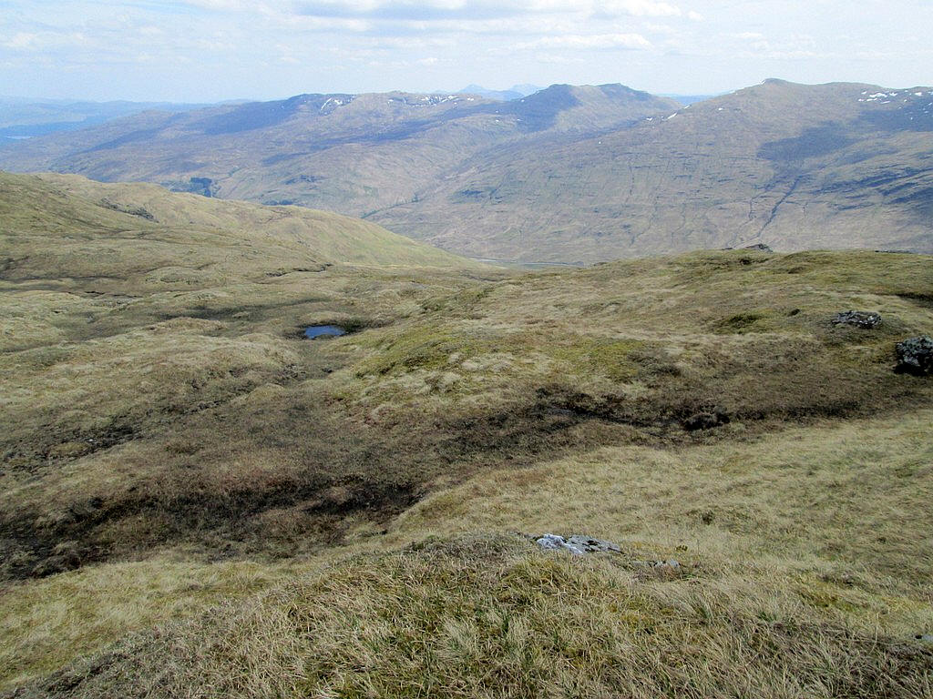
I headed towards NN421373 near this small pool.
Further down the hill, below the 800m contour, there are some quite steep sections and my toes started to object to the pressure on them!
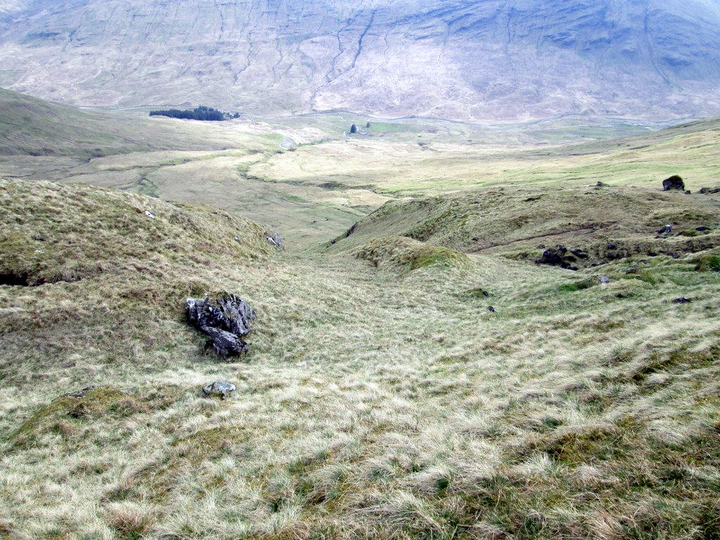
I was now aiming for the dam near the hydro track at NN429358. There's a deer fence over to the right...
....which leads straight down to the gate..
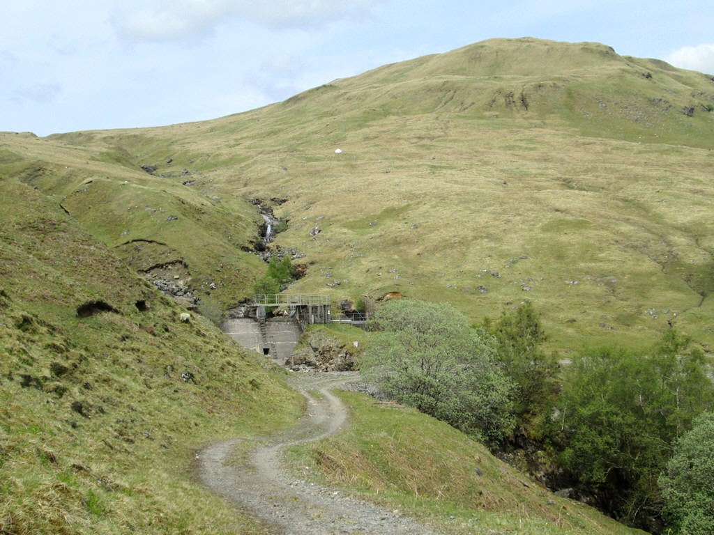
...on the track near the dam so there's no deer fence to negotiate.
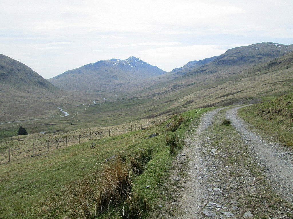
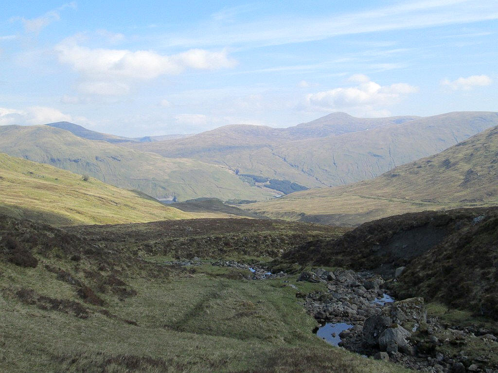
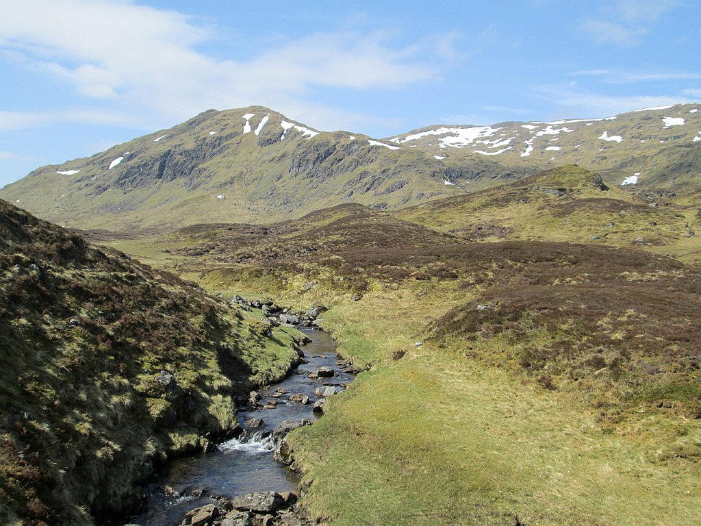
A final look back at the head of Glen Lochay and Ben Challum. I had several breaks along the track as I was in no hurry, so the walk had taken about eight hours.