Beinn Luibhean
In May 2022 I attempted to climb Beinn Luibhean from Rest and be Thankful. Unfortunately, the bus from Glasgow to Oban arrived a quarter of an hour late at the Rest and be Thankful turning circle and it wasn't until about 10:50 that I could set off. I had a tight schedule to climb the hill as my return bus was at 17:13. There is a walk of about 40 minutes in each direction along the verges of the A83 to the start of the walk near Butterbridge. Once on the track towards the hill I found that this is extremely rough and progress was considerably slower that expected. In the end I turned back about 30 minutes before the summit to be sure of not being stuck waiting for a bus for several hours at such and isolated spot 269 metres above sea level.
In August 2024 I returned this time getting the 06:25 Campbletown bus which should have got me to Rest and be Thankful by 07:45. However, there had been a road accident on the A82 and we had to divert via Balloch so it was after eight before I set off after having a strong coffee from the mobile cafe at Rest and be Thankful. Sadly this shuts at three p.m. so there is no chance of a hot drink on the return.
My plan was to climb to the summit of Beinn Luibhean and then drop down to the col at Bealach a' Mhargaidh and then follow the stream back down to Butterbridge. The track below is from my Spot personal tracker.
Note that the waypoint at 09:33 is a "rogue" position caused I suspect by the proximity of trees.
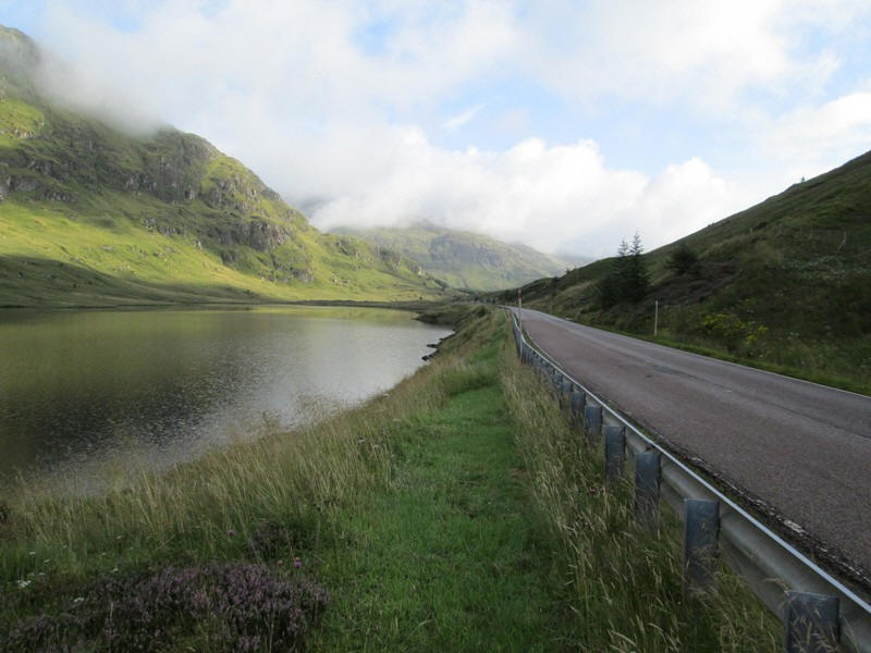
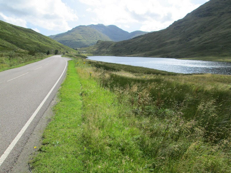
Straight after leaving Rest and be Thankful the road passes Loch Restil. Most of the way along the road to Butterbridge there is a verge on one side of the road or the other, and at other times you can walk on the valley side of the crash barriers.
Straight ahead is the 888m Beinn Chorranach whilst the slopes of Beinn Luibhean are on the right.
Beinn Chorranach is one of those hills that don't count as a Corbett because the drop between its summit and the nearest higher hill (Ben Ime a Munro) is less than 150m. Hill lists are a good idea to make you visit different parts of the country but occasionally they exclude hills that are worth climbing. This is just one example.
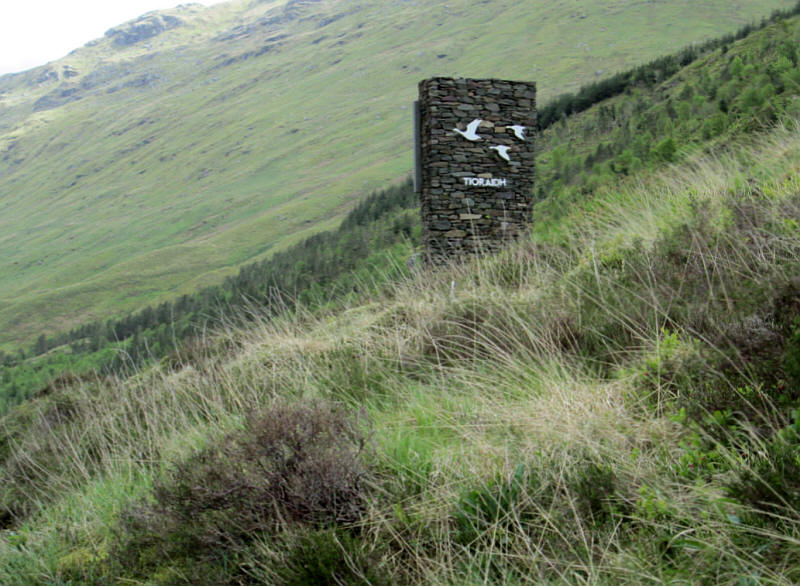
There's a sign at the boundary of the Loch Lomond and the Trossachs National Park which says Tioraidh (cheerio in Gaelic) on one side....
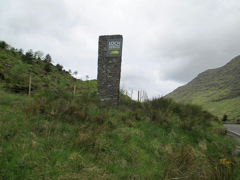
....and the other side the boundary sign of the national park. (May 2022 photos)
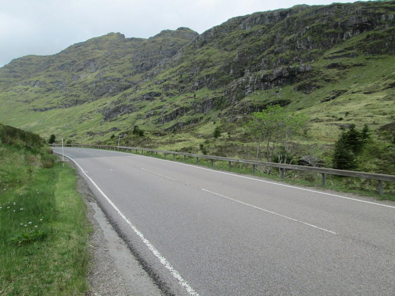
This is looking back to the Rest and be Thankful with the 901m high Beinn an Lochann towering above the road. (May 2022 photo)
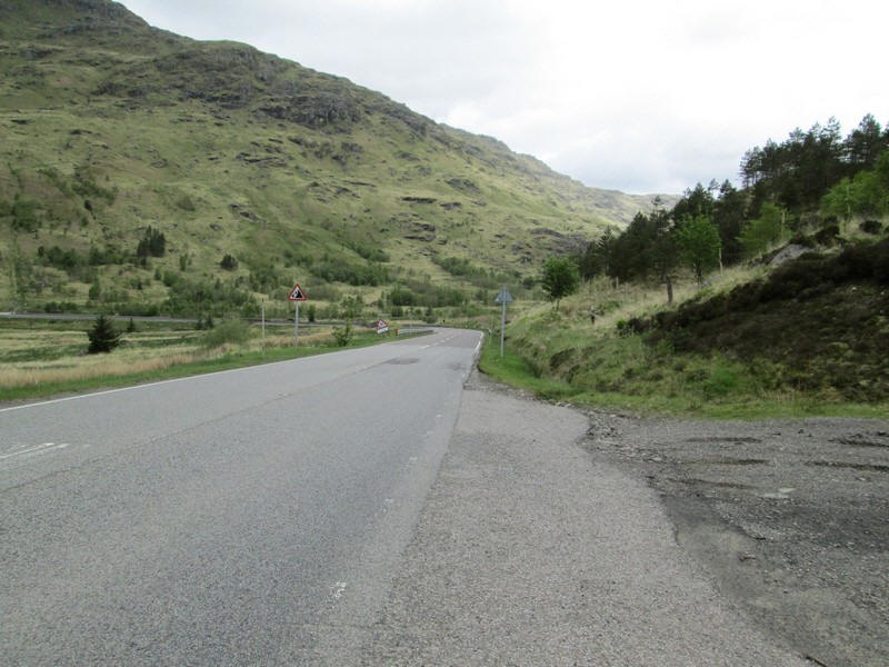
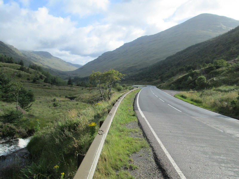
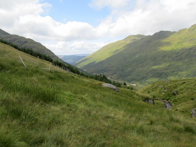
At Butterbridge the road turns 90 degrees to enter Glen Kinglas. The road has dropped over 70 metres from the summit to this point. (May 2022 photo)
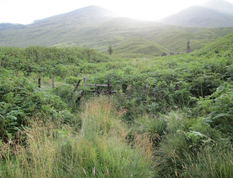
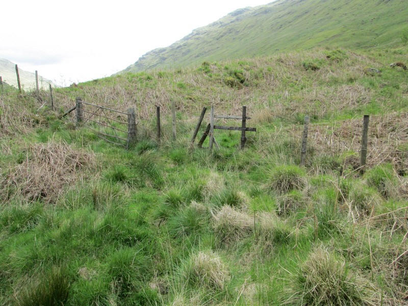
There is a gate and rickety stile (on the right of the road just before the bend) where a faint path begins.
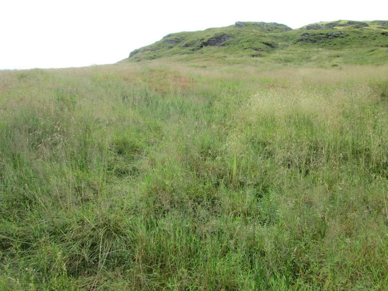
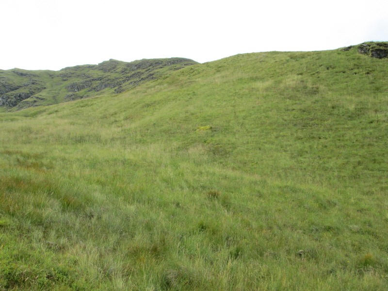
Comparing this photo with the one below taken in May 2022 shows the growth in vegetation especially in the wet summer of 2024. The depth of vegetation obviously makes walking much harder as you can't always see what is firm ground or even how far your feet are going to sink.
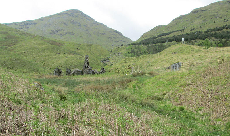
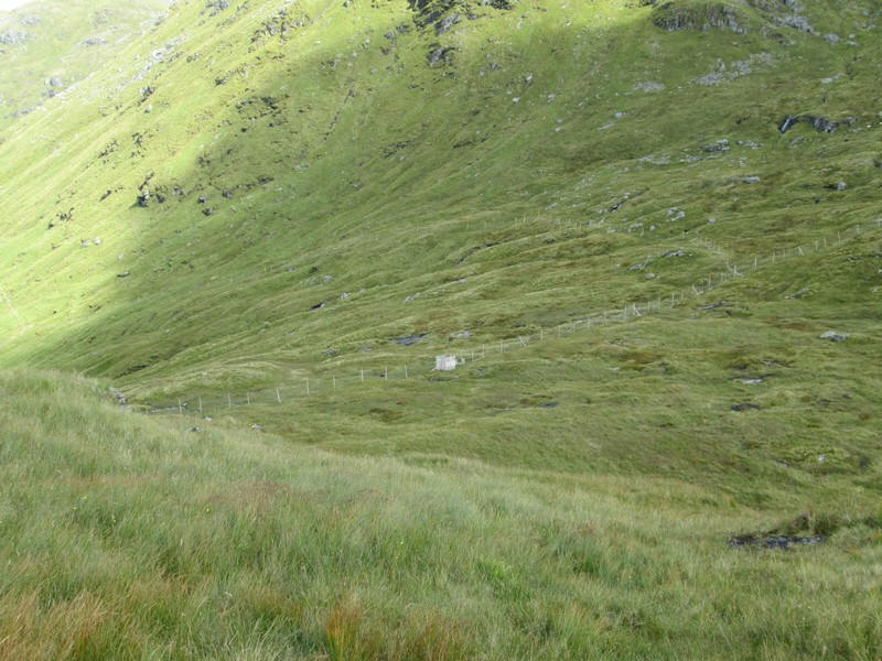
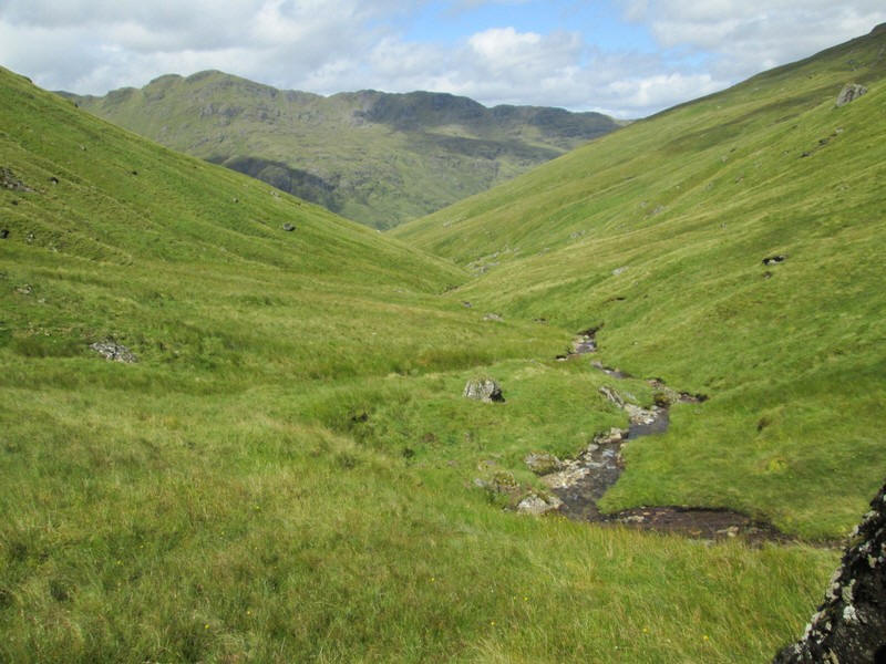
The track heads past an old ruin with the Munro Beinn Ime on the left and the slopes of Beinn Luibhean on the right. (May 2022 photo)
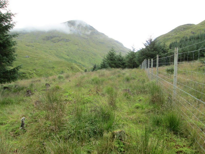
The track is rough and clings to the hillside between the Allt Beinn Ime and a plantation.
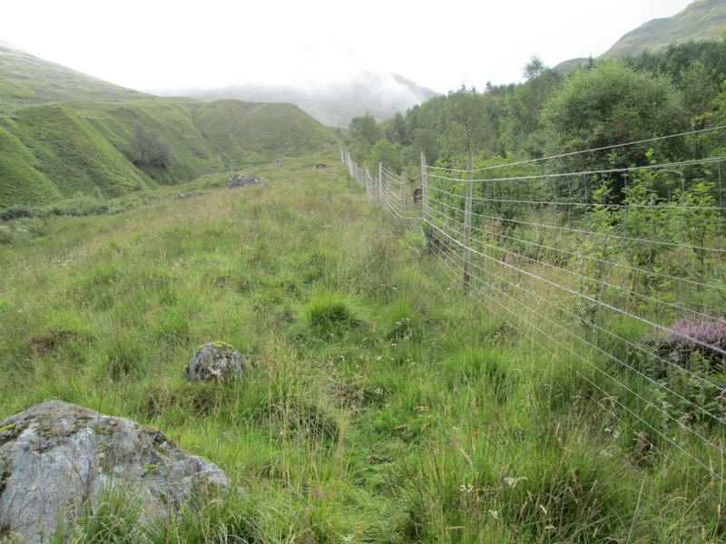
There's a new deer fence and a faint path seems to be developing near it although there are numerous places where 'creative footwork' is required to get around rock outcrops or around trees.
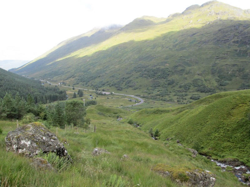
Looking back down to the road at Butterbridge where it heads down Glen Kinglas to reach sea level by Loch Fyne at Cairndow.

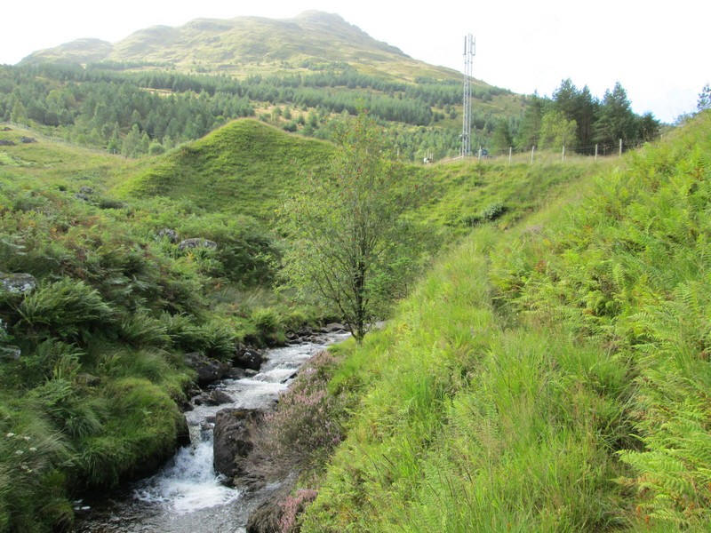
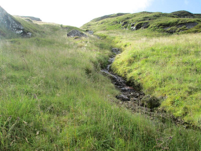
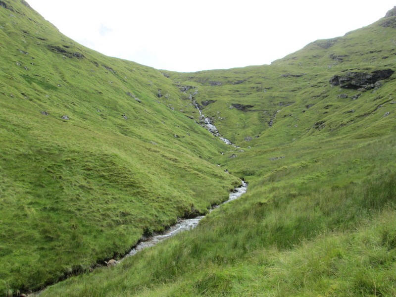
The Allt Beinn Ime was in spate after recent heavy rain.
Across the glen is the Munro Beinn Ime.
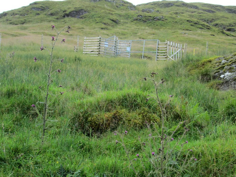
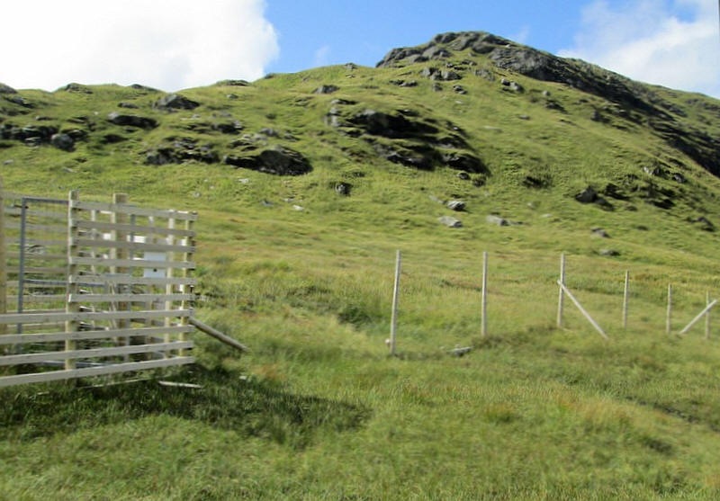
The new deer fence has a gate and stile at NN 24375 08913 with .....
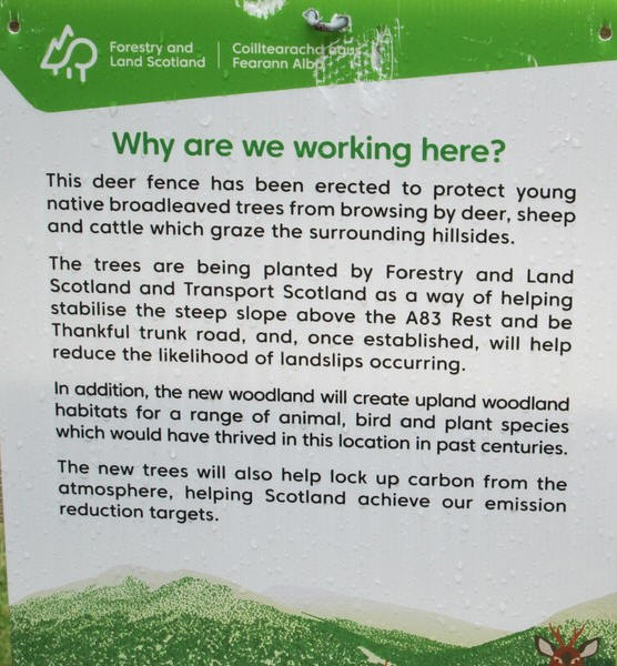
...an explanation of what is happening. The whole of the hillside of Beinn Luibhean is extremely unstable and causes serious problems for the A83 with landslides often blocking the road.
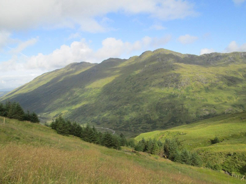
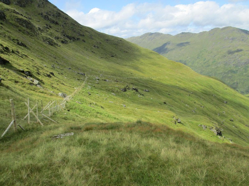
Looking back downhill into Glen Kinglas the Corbett Binnein an Fhidhleir dominates the glen..
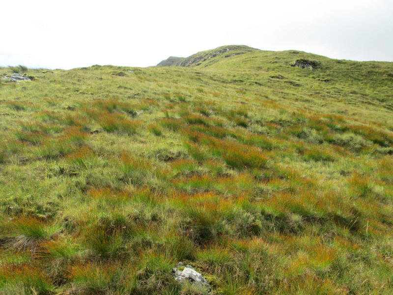
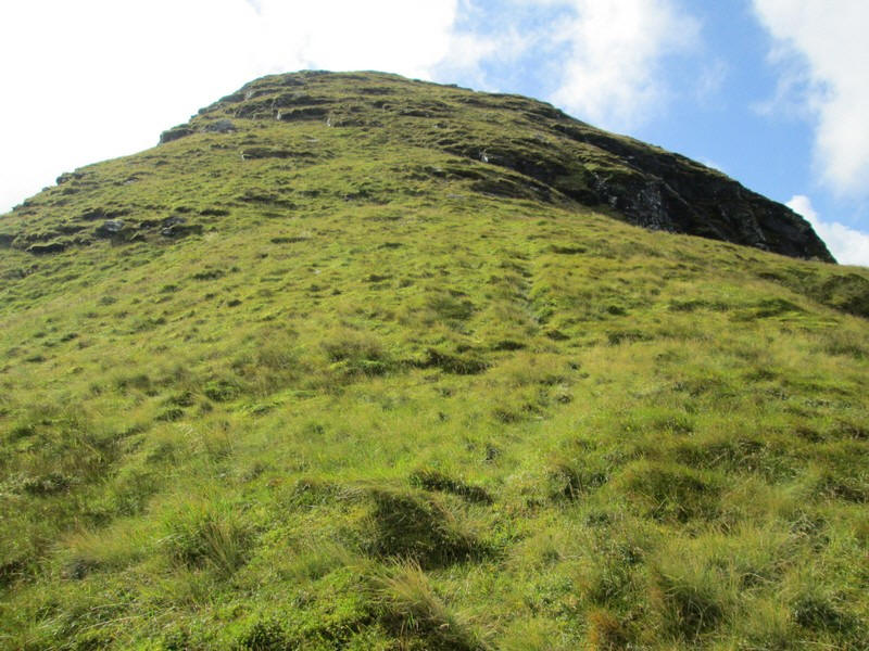
The slopes of Beinn Luibhean are extremely steep - from the gate to the summit there is a climb of 459 metres in a distance of 1050 metres so an average gradient of between 1 in 2 and 1 in 2.5.
Further up the hill a stream running over slabs appears - climbing here was particularly steep....
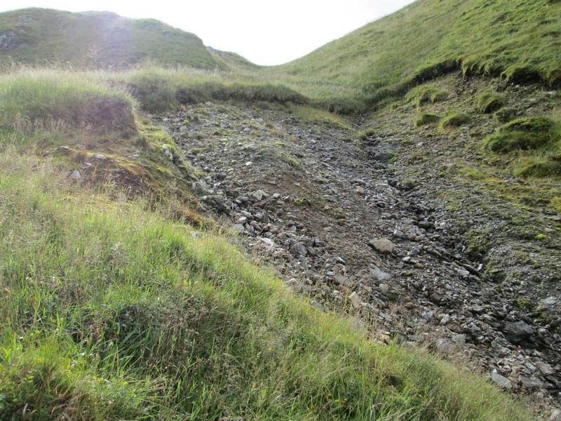
It looks as though the stream had started a landslide at the top.
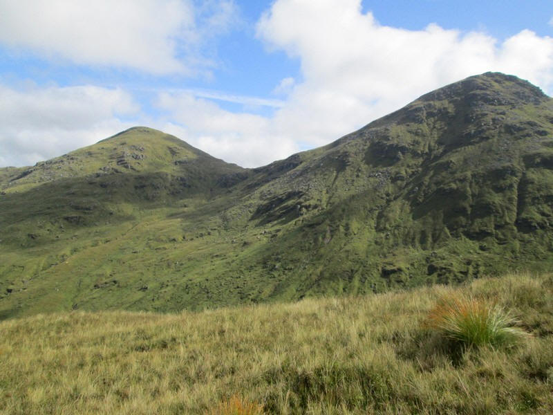
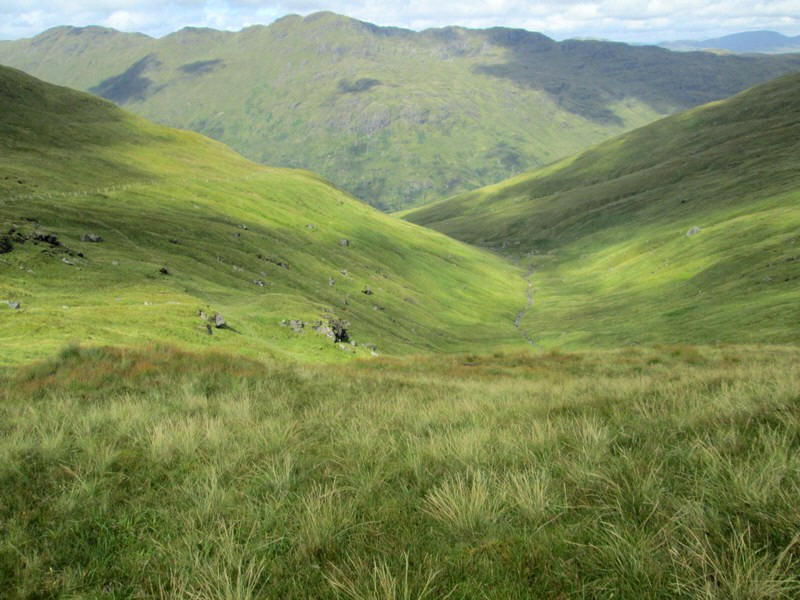
The bealach, or col, between Beinn Ime (on the left) and Beinn Luibhean comes into view.

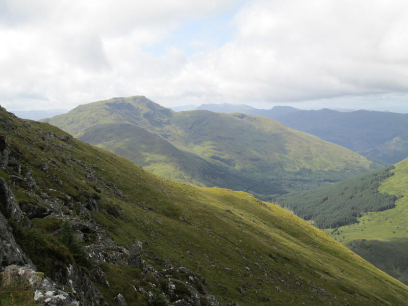
Over to the left there is a panorama of nearby hills - Binnein an Fhidhleir on the left with the upper part of Glen Kinglas in the centre and Beinn Chorranach on the right. Click on the photo to see the full sized image.
In the distance the Munros around Tyndrum and Crianlarich can be seen: from left to right Beinn a'Chleih, Ben Lui (highest), Ben Oss and Beinn Dubchraig. See below for a photo with panorama diagram.

The diagram above was made on this website: https://www.udeuschle.de/panoramas/makepanoramas.htm
The gradient continues relentlessly upwards.....
....and there is a first view of the summit.
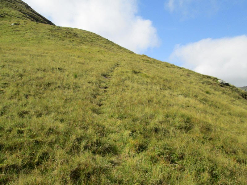
There are occasional stretches of a track but nothing continuous.
Looking across the glen to Beinn Chorranach (888m - the Corbett that isn't one!) and on the right the Munro Ben Ime (1011m). The bealach between the two hills, Glas Bealach is at 750m so the drop between the two hills isn't enough to qualify as a separate hill in the Corbett listing.
The climb continues as the ridge narrows slightly.....

......and becomes a little rockier.
This view is looking downhill over to the Rest and be Thankful with the Corbett Ben Donnich. A road to Lochgoilhead drops down through the trees along Gleann Mor
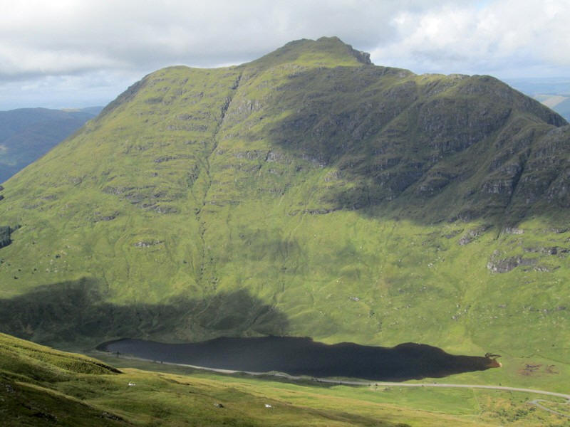
There's almost a 'helicopter' view across the glen to the Corbett Beinn an Lochain (901m) with Loch Restil and the A83 in front of it. This is the only hill in this part of Scotland that I haven't climbed yet. Until the hill was re-measured it was believed to be higher and was once classified as a Munro!
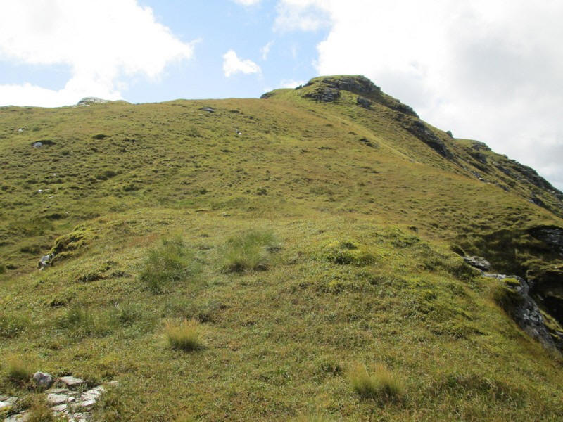
The summit is now in view.....
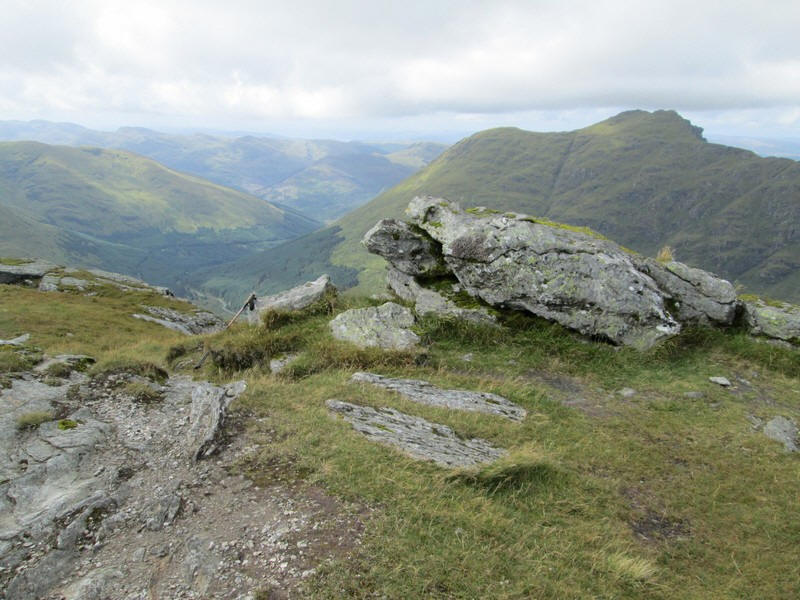
....and is marked just by a small pile of stones. Beinn Luibhean is 858 metres above sea level.
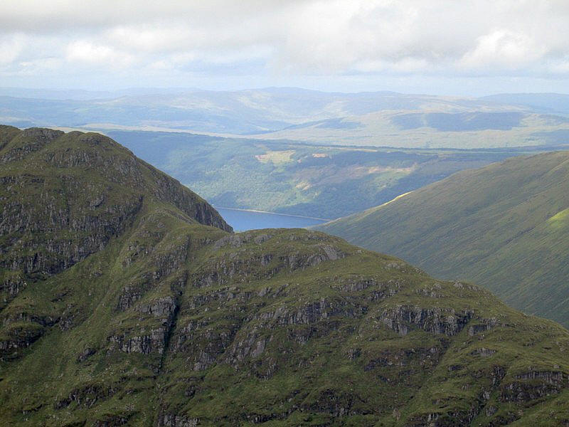
From the summit there is a view of Loch Fyne across the shoulder of Beinn an Lochain.

Looking east there is a superb view of the Munro Ben Narnain (926m) and the strangely shaped Corbett 'The Cobbler' or Ben Arthur (884m). The summit is supposed to look like a cobbler's last. Click on the photo see a larger image.
After a very brief stop at the summit I started to drop down to Bealach a' Mhargaidh to find a spot to eat lunch.

There is a path between Beinn Luibhean and Beinn Ime....
......but it didn't seem to be continuous.
I was heading for a gate in the new deer fence at about NN249 079.
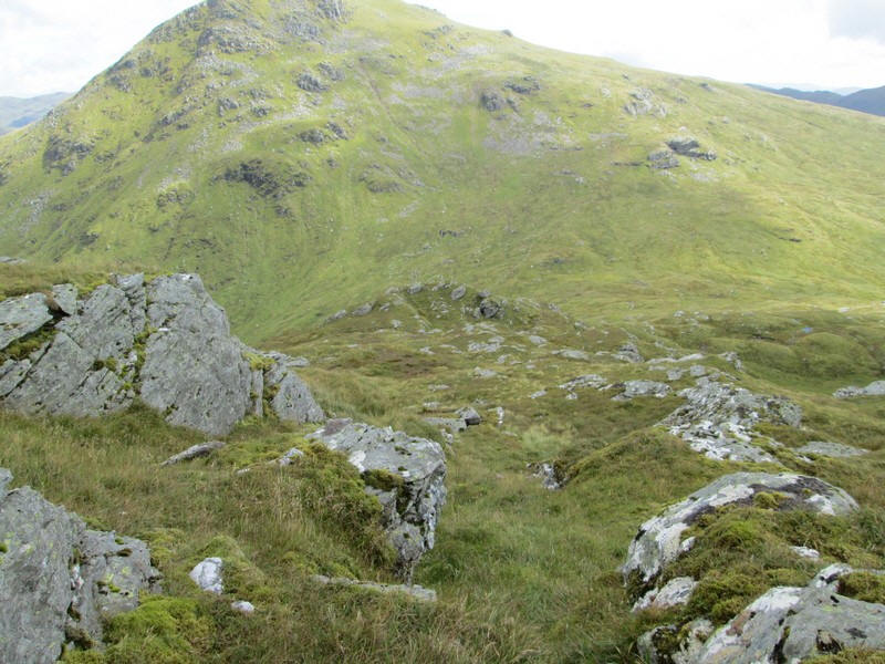
Looking back to the summit of Beinn Luibhean.
I considered walking alongside the deer fence back to the start but it became obvious that it would be better to drop down into the glen and walk near the stream where I could see traces of a path.
To get into the glen meant crossing a new but thankfully quite low sheep fence.
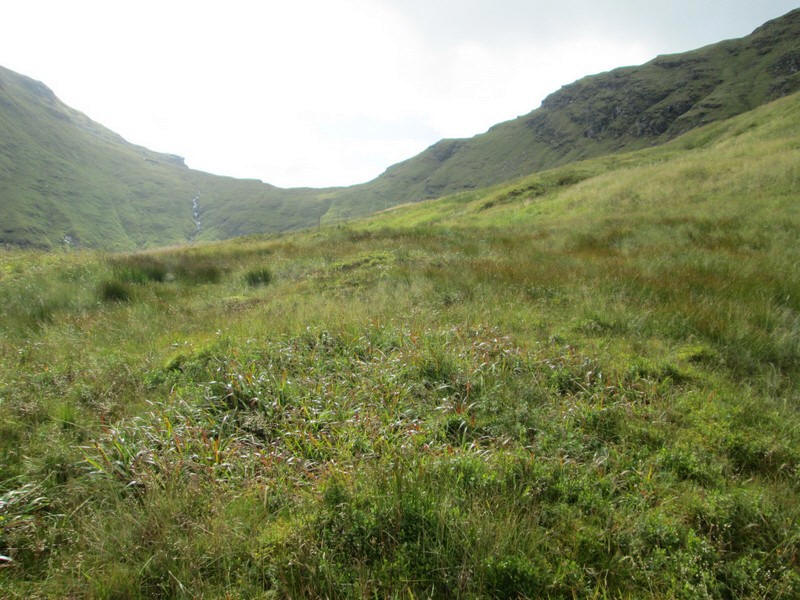
Once down near the stream there was a faint path most of the way back down the glen.

The Allt Beinn Ime cascades down from the bealach in a spectacular torrent.
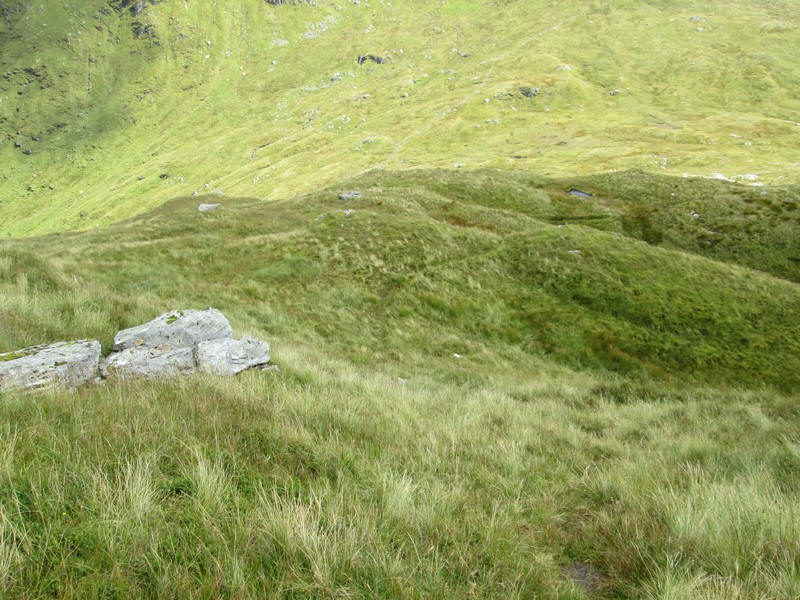
A final look back to the bealach....
.... before reaching the trees near the start of the walk.
After a refreshment break by the road it was just another half an hour's walk back up to the bus stop passing Loch Restil. There was a moderate amount of traffic on the road but often there were no vehicles in sight as here.
I'm back at the bus stop just after half past three and, rather than wait for the Citylink bus back to Glasgow in an hour, I take the earlier Lochgoilhead to Helensburgh local bus and then the train to Glasgow. A cup of tea in Helensburgh makes up for the cafe at Rest and be Thankful being closed !
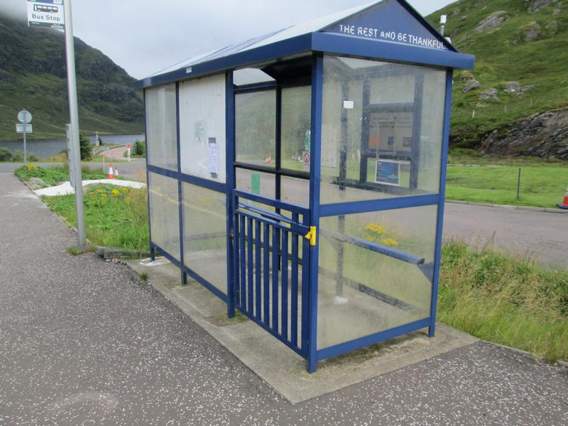
Is this the only bus shelter in Britain with a gate to stop sheep and deer getting inside? It also has complete and up to date bus timetables.