Beinn lutharn Mor
Click on the square in the top left hand corner to see a larger map.
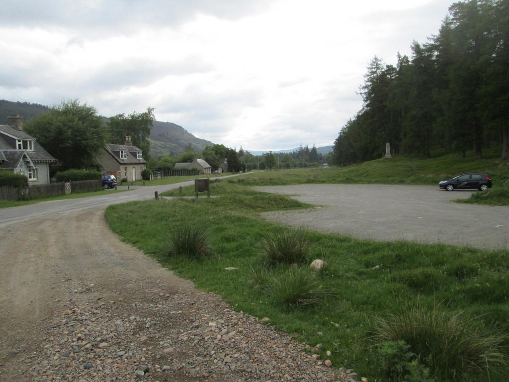
I climbed Beinn Lutharn Mor in June 2018 starting from the car park at Inverey and....
...headed up the estate track...
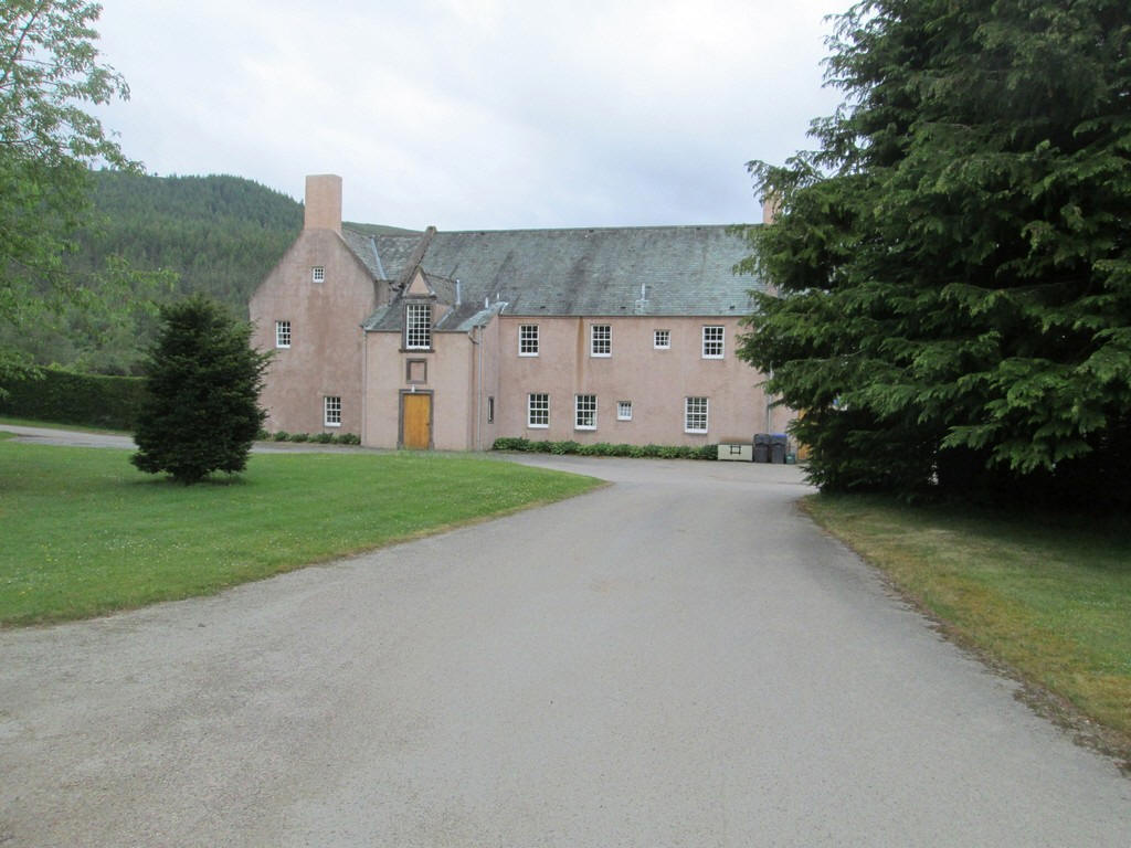
...to pass the imposing estate buildings.
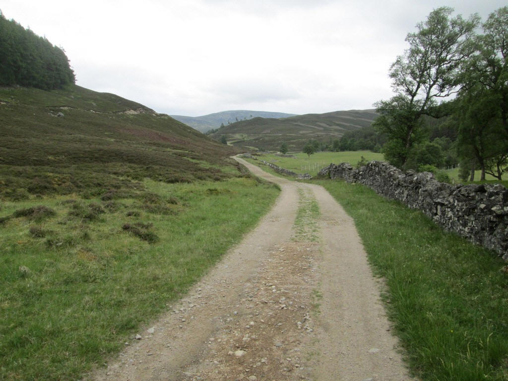
It's a walk of five and a half miles to the end of the track (and back of course) and that's before you start to climb the hill so many people use a bike as far as the ruins at Altanour Lodge. For me that is not an option...
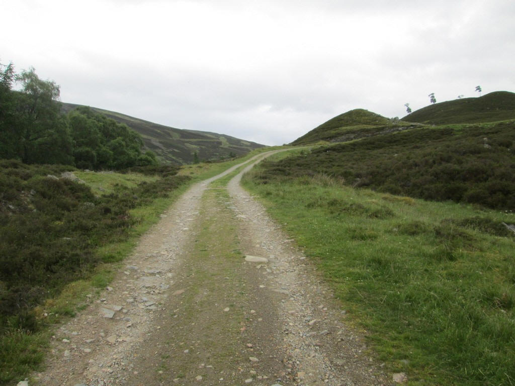
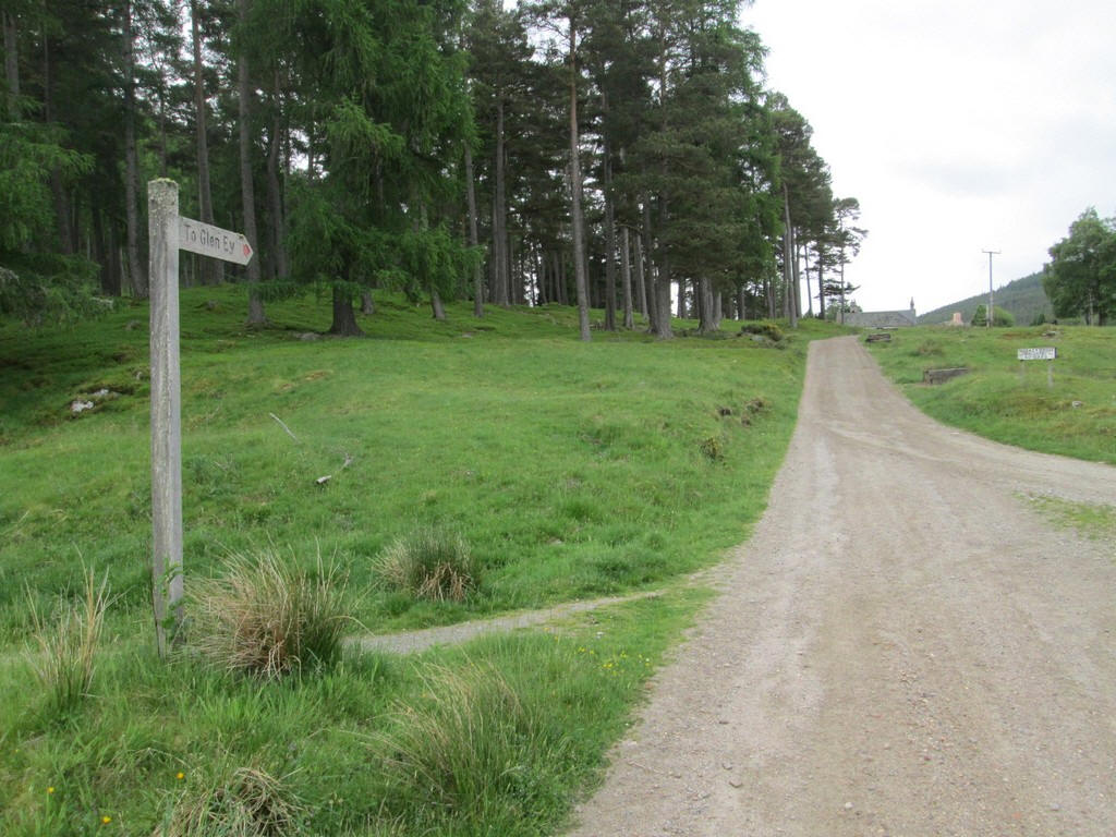
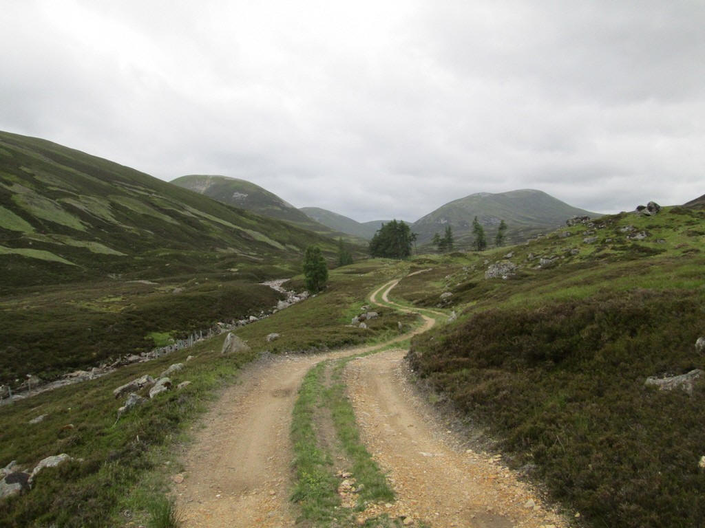
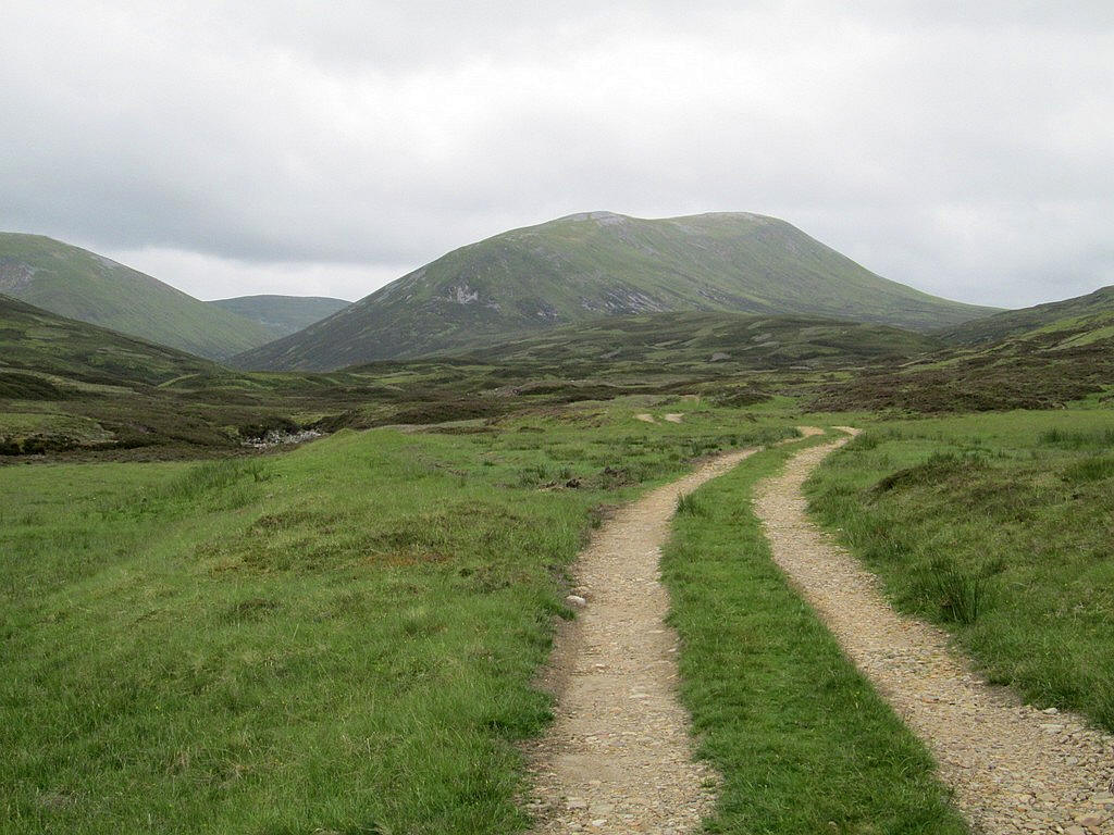
The track climbs initially to avoid the gorge that the Ey Burn runs through....
... to emerge high above the burn with views up Glen Ey.
It's a lovely walk on a sunny morning. Here I'm just passing the turn off that I used when I climbed Carn Bhac in August 2016.
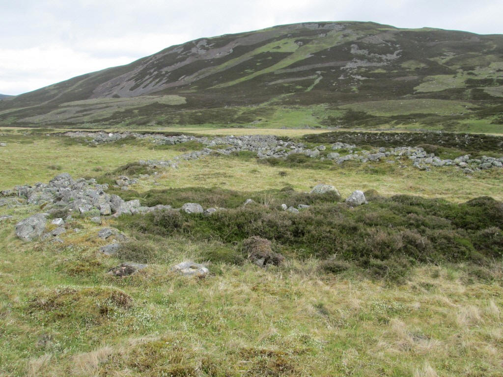
An all too common sight in many glens are the foundations of old hamlets now long abandoned.
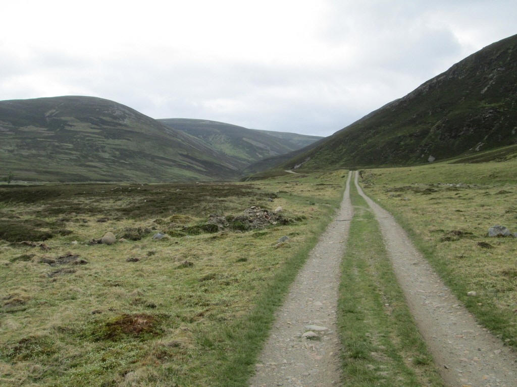
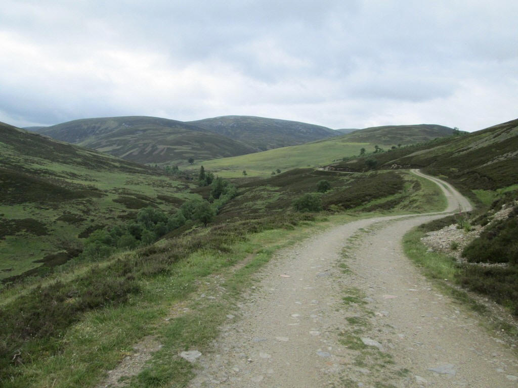
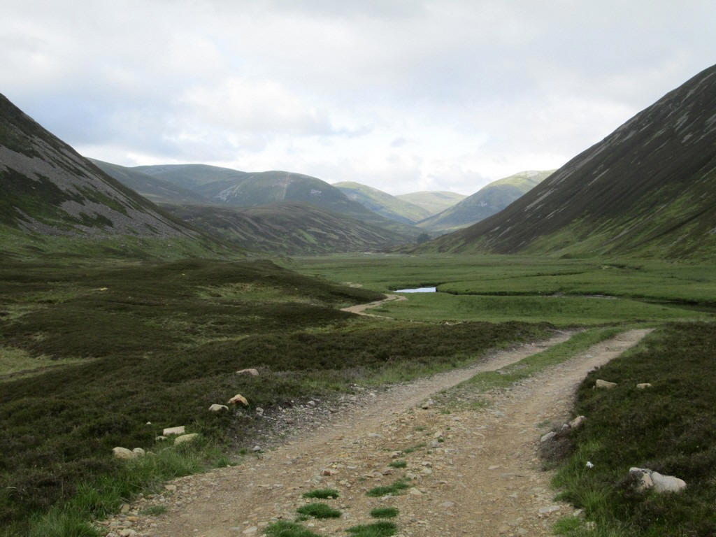
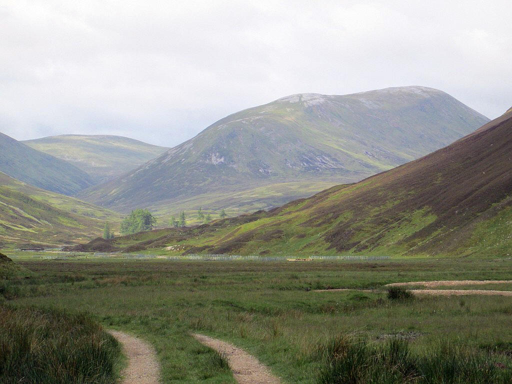
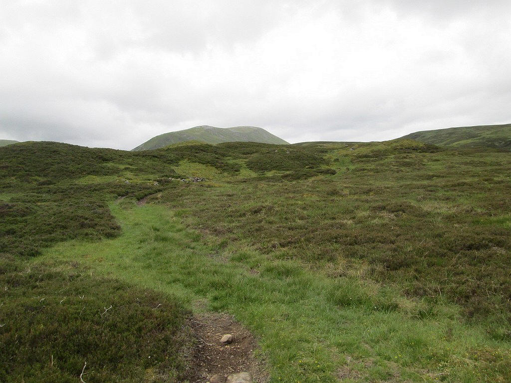
The glen opens up a little...
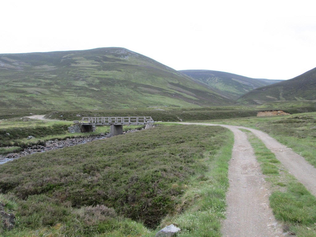
....whilst the track crosses to the east bank at this bridge....
...before winding through a series of drumlins....
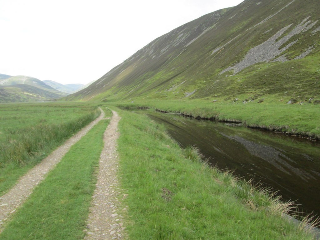
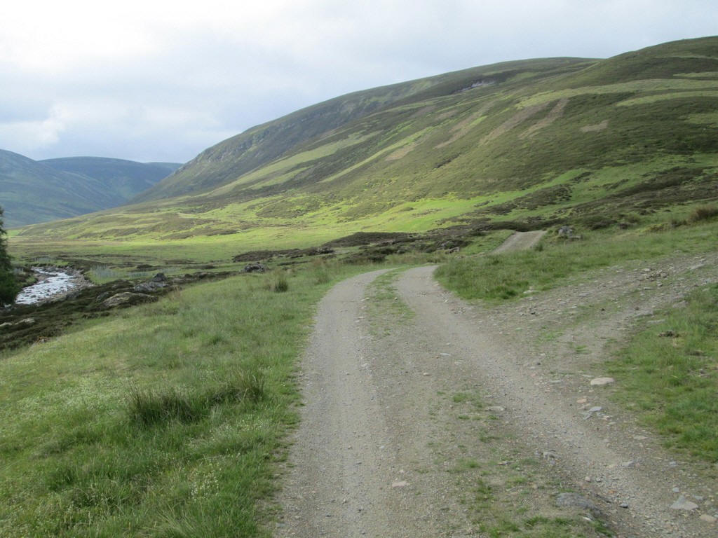
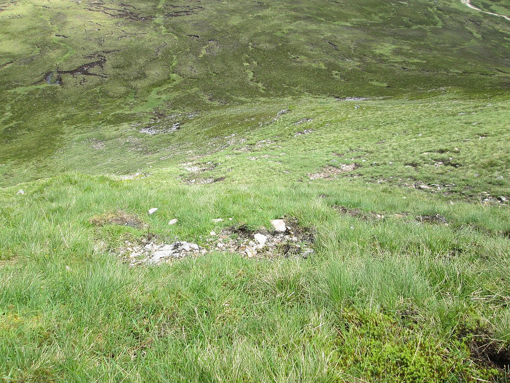
...to drop down to what appears to have been once the bed of a lake. An estate worker told me that the whole of this part of the glen is covered with a very deep layer of silt, at least twelve feet deep. The burn at this stage appears absolutely still with no flow visible and the hillside reflected in the water.
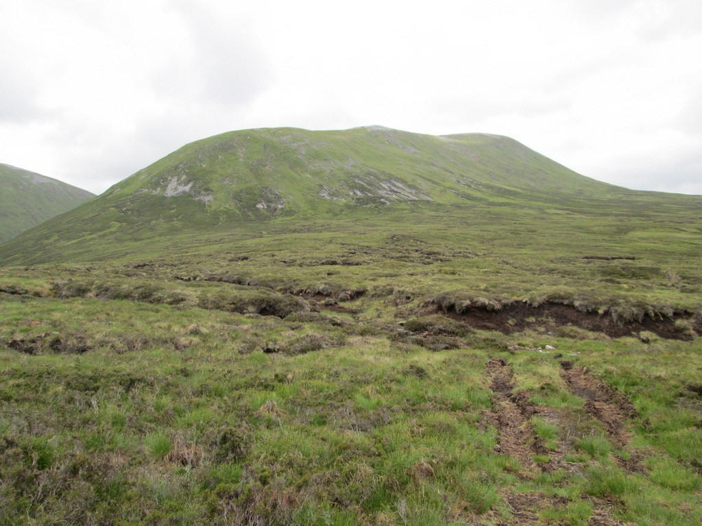
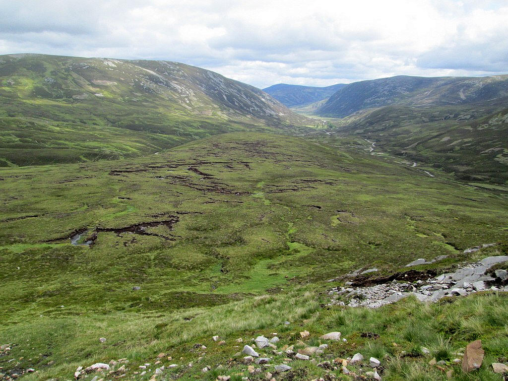
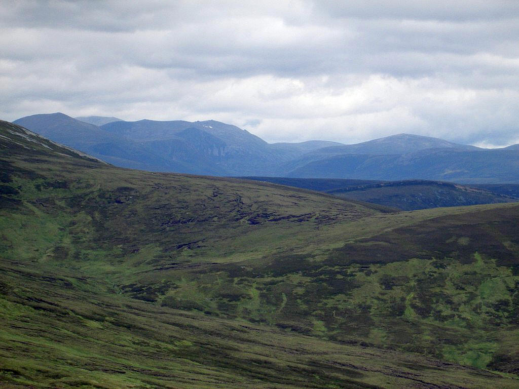
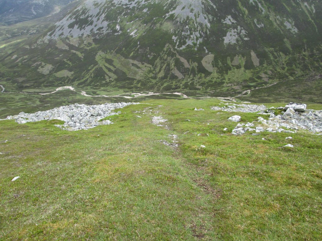
The first view of Beinn lutharn Mor appears and I'm reminded just how steep its slopes are.
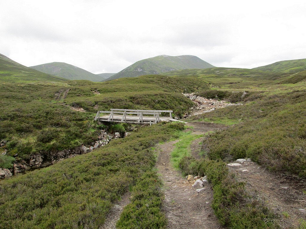
The track crosses over the burn again....
..and winds through rocky outcrops...
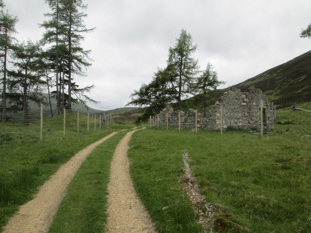
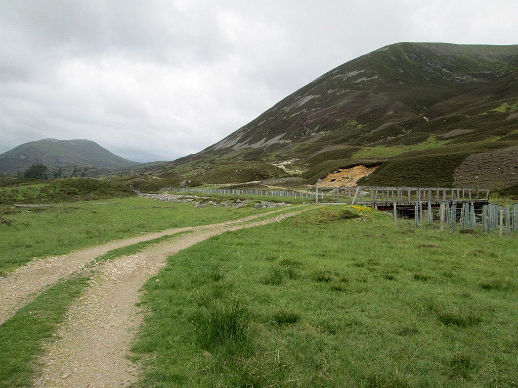
...to reach the ruins at Altanour Lodge. Fences have been erected around the trees by the Cairngorm Club using a bequest, presumably to help regeneration of woodland. At this point I was overtaken by a couple on a bike who were intending to climb both Carn Bhac and Beinn Lutharn Mor. They dumped their bikes in the heather and said, "See you later". And indeed they did, as they caught me up on the return just before I got back to Inverey having climbed both hills.
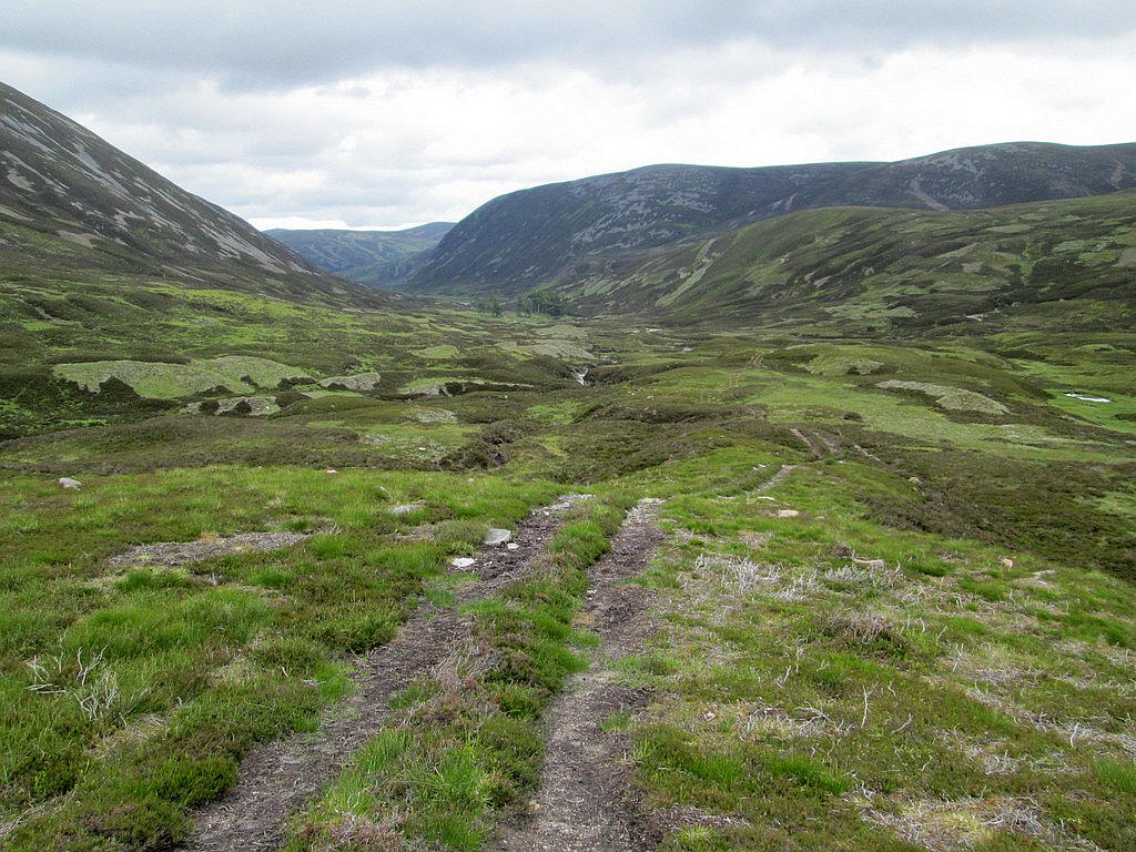
From the lodge it's just over 3 miles to the summit of the hill so the whole walk from Invervey is about 18 miles. Beyond the ruins the main track continues towards shooting butts...
...but the route to the hills diverges onto this rough track...
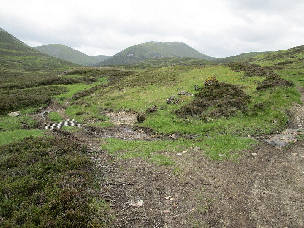
...and drops down to a bridge at NO 079 819.
Shortly after the bridge a path leads off to the left following the Allt Cac Dubh, whilst the "all terrain vehicle track" goes off uphill to the right. None of the walk descriptions I'd read were particularly helpful about which way to go so I decided that as one track went obviously uphill I would take it. So it was off up the ATVT...
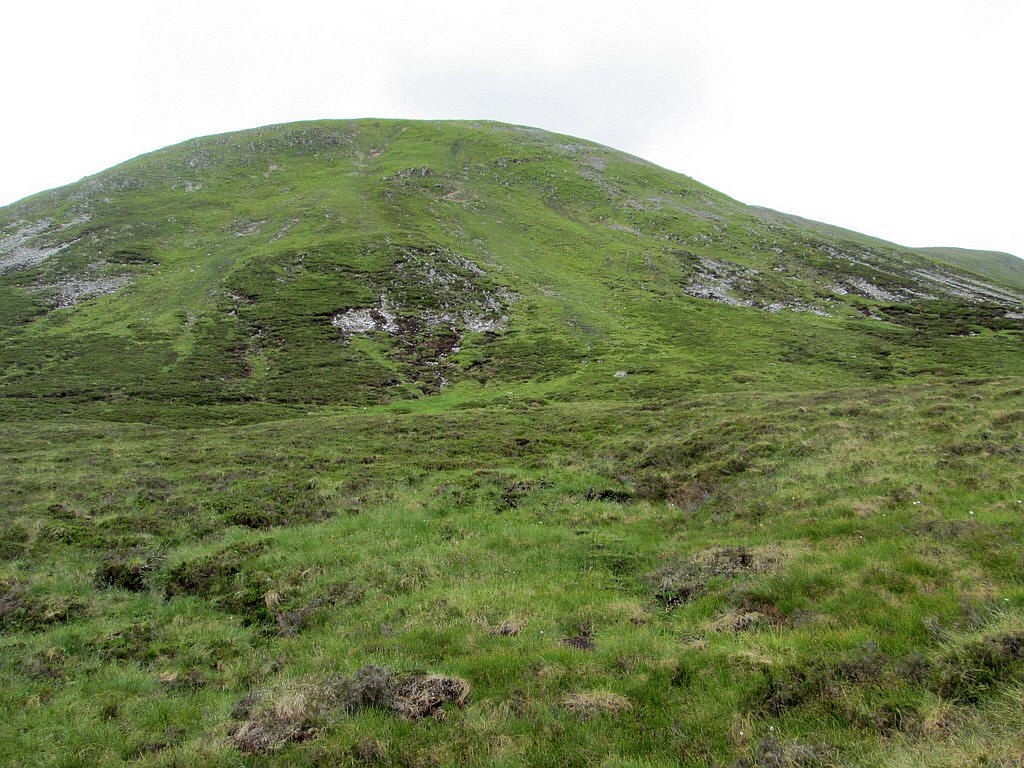
...which climbed steadily up the gentle north east ridge of the hill.
Looking back down into Glen Ey....
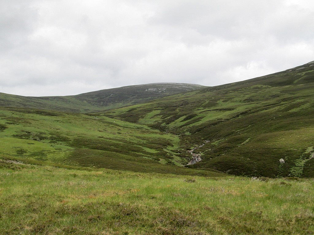
...and across to the right and Carn Bhac.
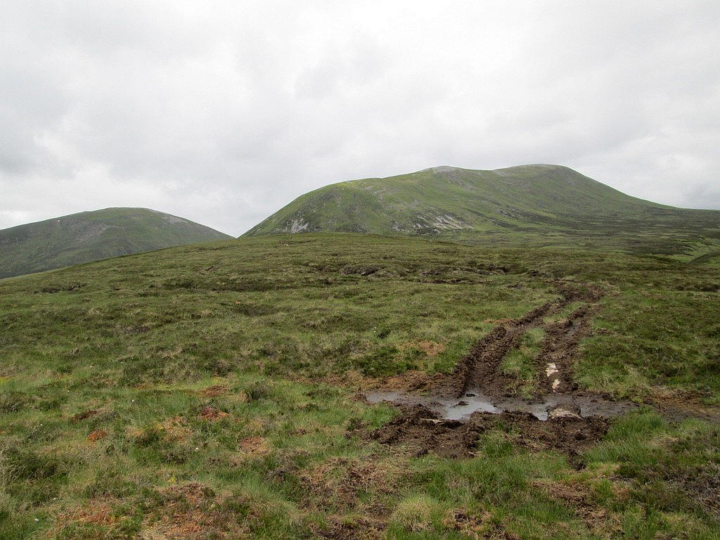
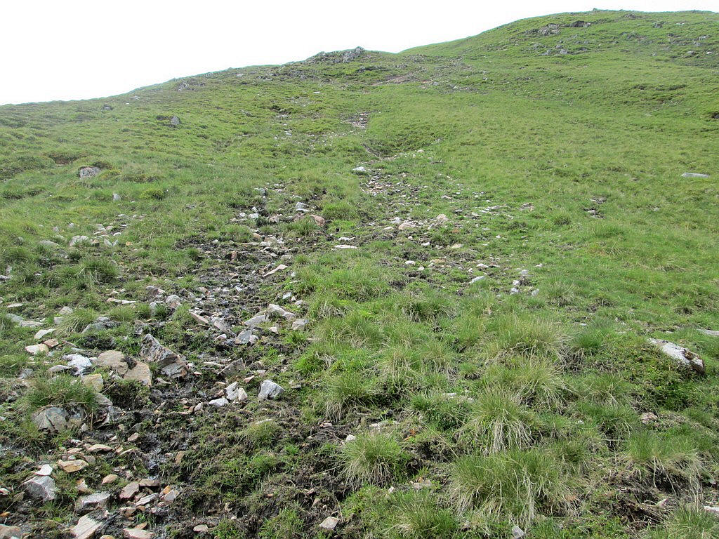
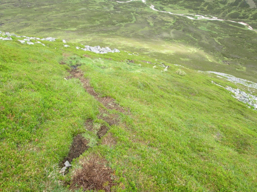
For the most part the track was quite dry although I suspect that in normal conditions it would be much boggier like this section.
The track comes to a sudden end at the beginning of an area of peat hags. I decided that it would be a good idea to mark this point in my GPS for the return walk. It's at NO 06862 81159.
I'd been looking for an "easy" route up the ridge and could see where it appeared other walkers had gone so I headed across the peat towards it.
It looked easy from a disatnce but in reality was very steep and quite unpleasant to climb in places.
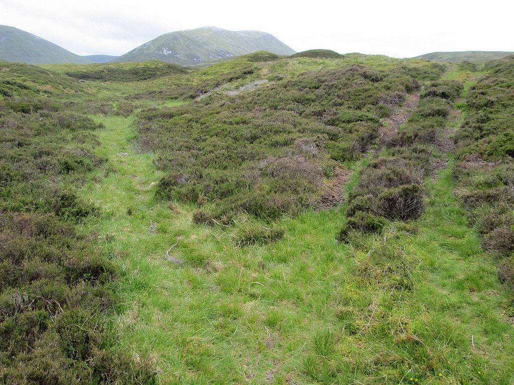
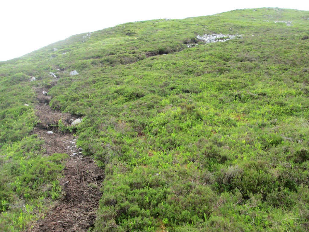
Walkers have worn a sort of track here....
...but I didn't enjoy the climb at all. Fortunately I found a much better route on my return.
Spring 2018 had been dry in the Highlands but, looking at this view across the lower part of the ridge, I think in normal conditions progress across the peat hags would be slow.
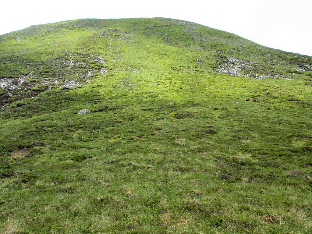
Eventually, at about the 800m contour the slopes eases and walking becomes more enjoyable, although the summit is still a mile and a half away
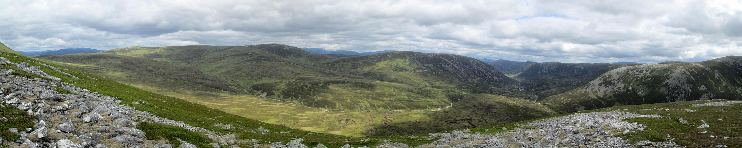
Click on the photo to see a larger panorama looking north down Glen Ey. Then click on the new image to see it full size.
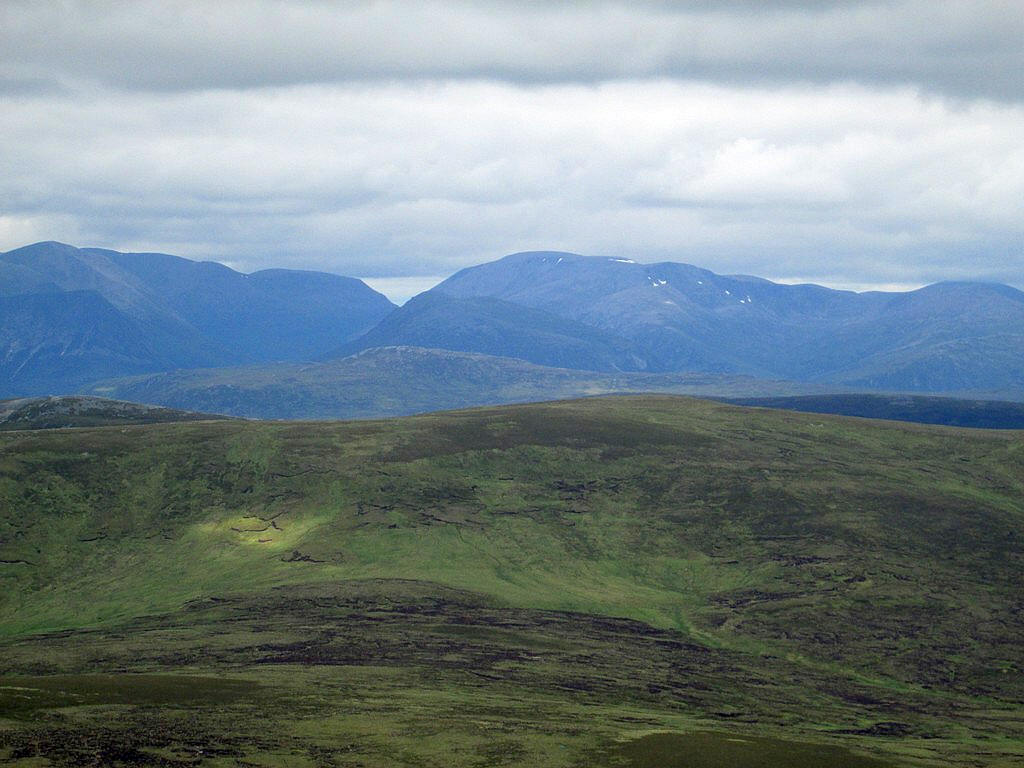
Looking across the slopes of Carn Bhac to the northern Cairngorms.
From left to right Derry Cairngorm, Cairngorm (cloud cover) and Beinn Mheadhoin (with tors) and on the right Beinn a'Chaorainn
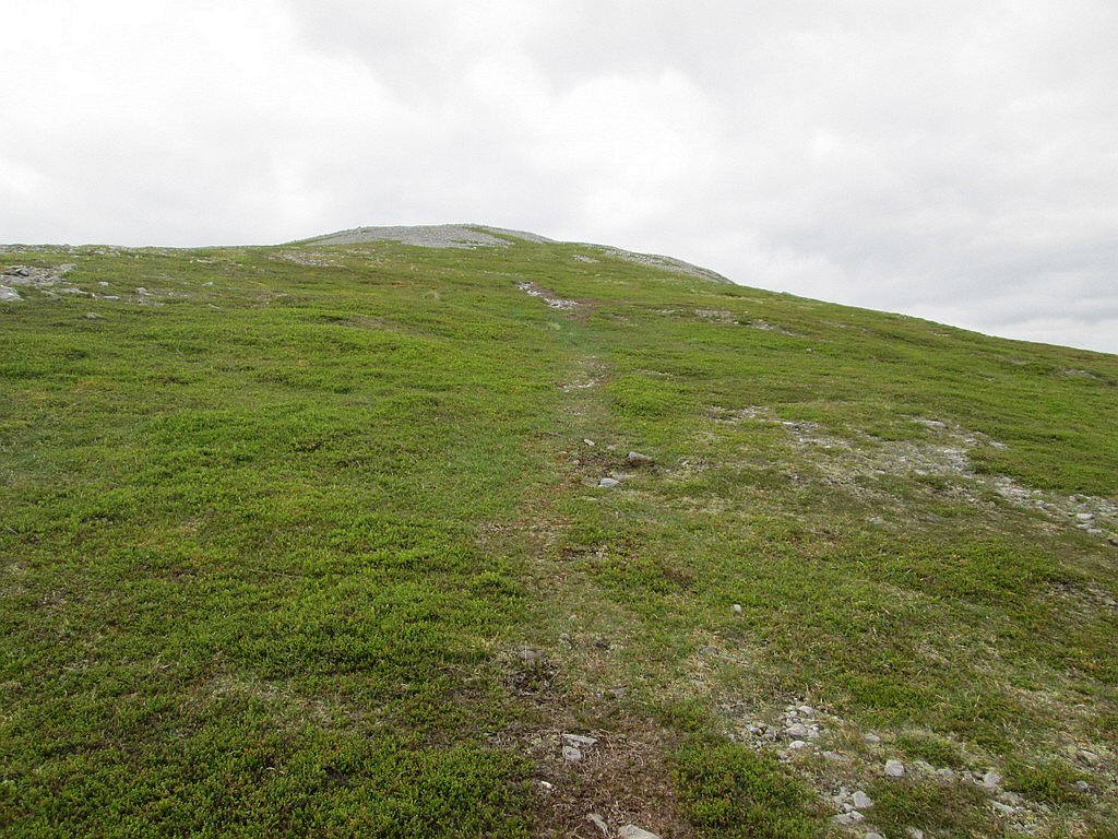
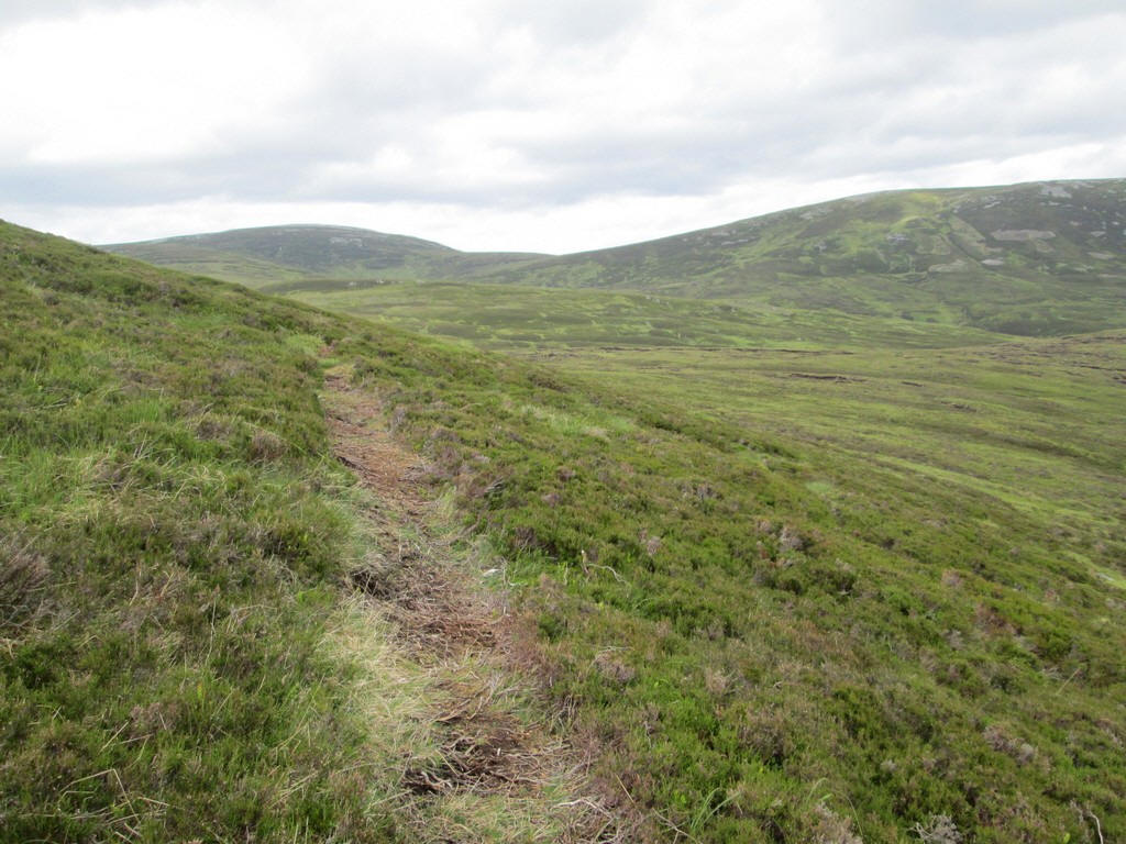
There's a clear path for much of the way...
...which tends to skirt the stoney sections..
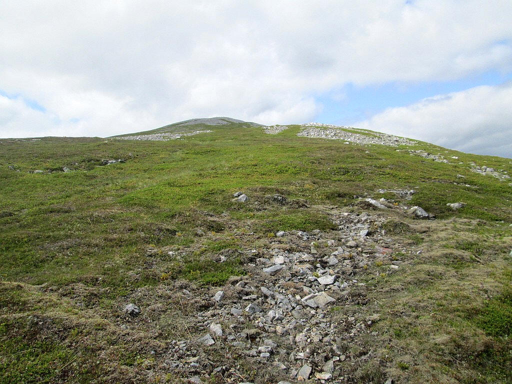
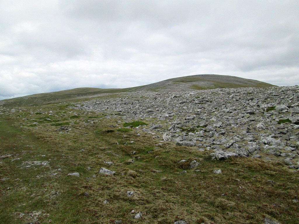
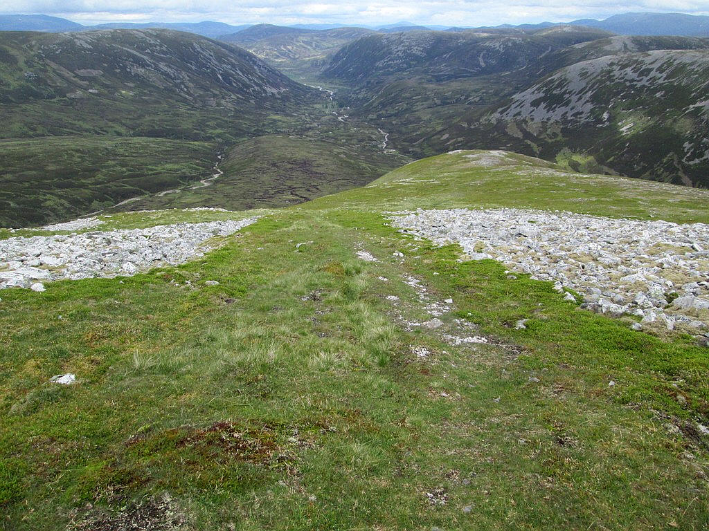
There's a cairn just above the 1000m contour and the long curving ridge to the summit can be seen now. There's still about three quarters of a mile ot go but the hard work is over.
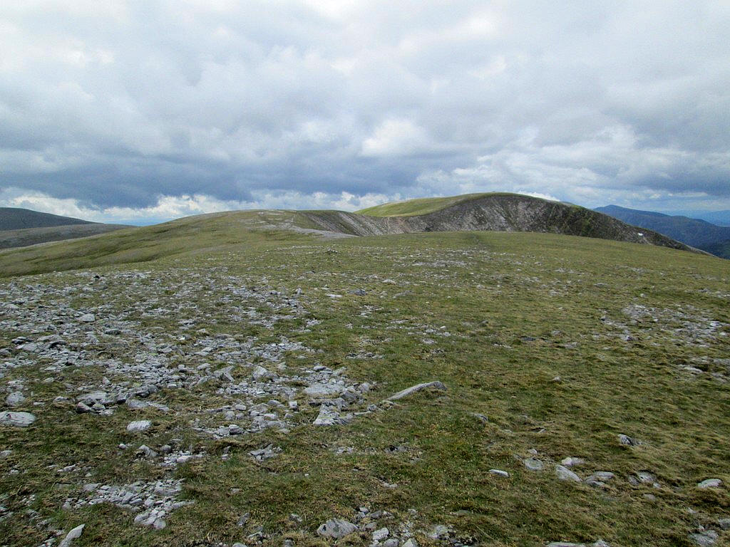
In good weather this part of the walk is an absolute delight, for the most part walking on the tundra like turf.
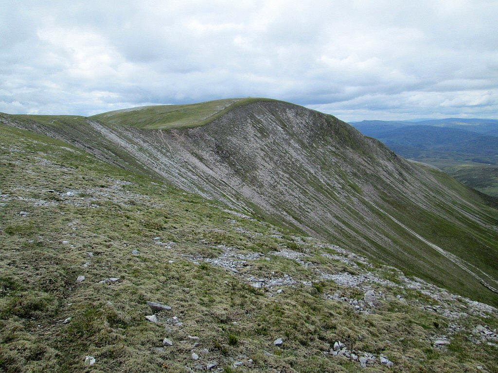
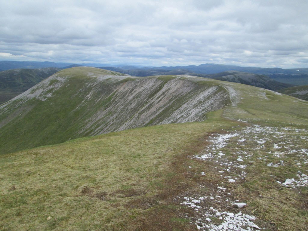
The corrie on the north side of Beinn lutharn Mor isn't named but has this fantastic convex slope streaked with scree.
A telescopic shot looking across to the depression where the Lairig Ghru is, with Cairn Toul and Braeriach on the left and Ben Macdui and Derry Cairngorm on the right. Cairngorm itself can be seen peeping above the ridge to the right of Ben Macdui.
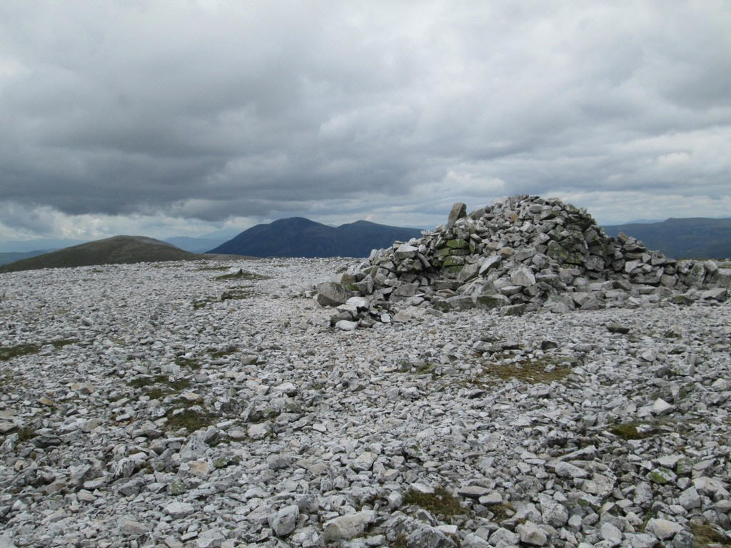
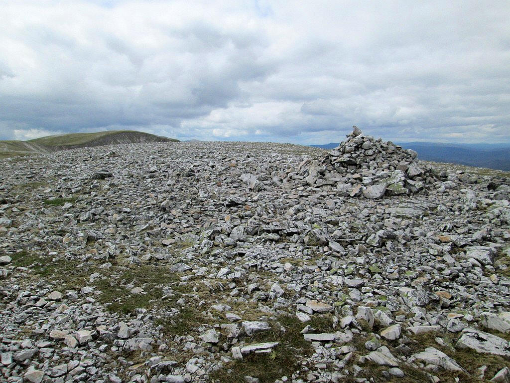
The summit cairn of Beinn lutharn Mor at 1045m. It had taken me exactly 5 hours from Inverey to the summit.
After a long lunch break I set off on the return with this view of the ridge stretching out.
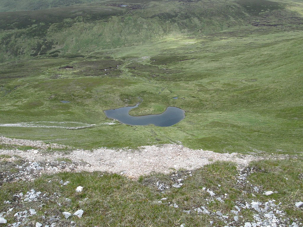
About 100m below in the corrie is Lochan Uaine.
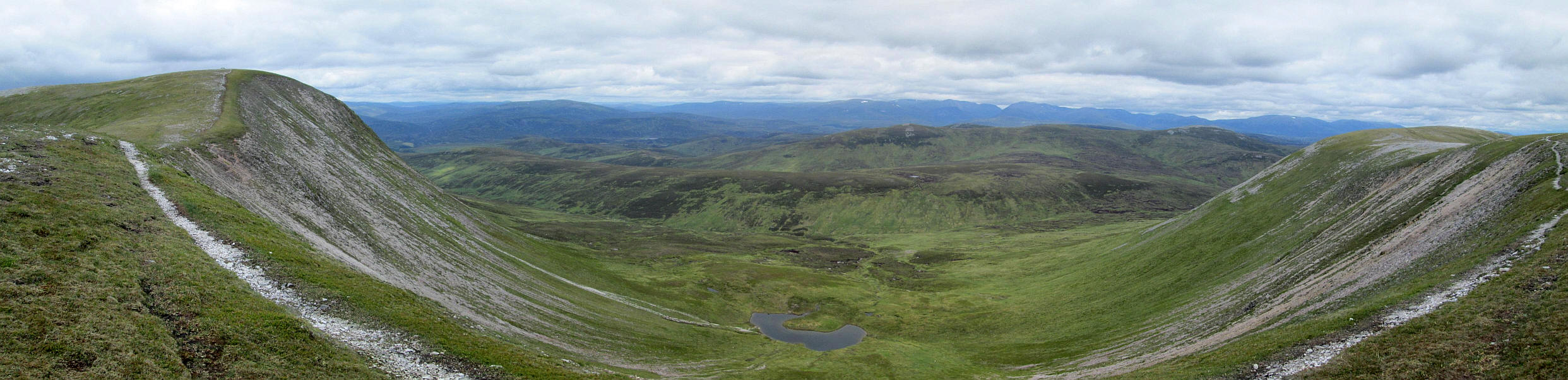
This panorama photo shows a distorted view of the corrie and was made by stitching together six photographs. Click on the photo to enlarge it and then click on the new image to see it full size.
I wasn't looking forward to descending the steep end of the ridge....
...but then realised that there was a path all the way down to the east of the way I had come up.
It descends in a series of gentle zig zags...
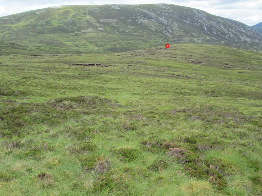
....until it reached the lower hillside. This photo was taken at NO 06646 80436....
...just before it turned to the left and contours along the slopes of the hill.
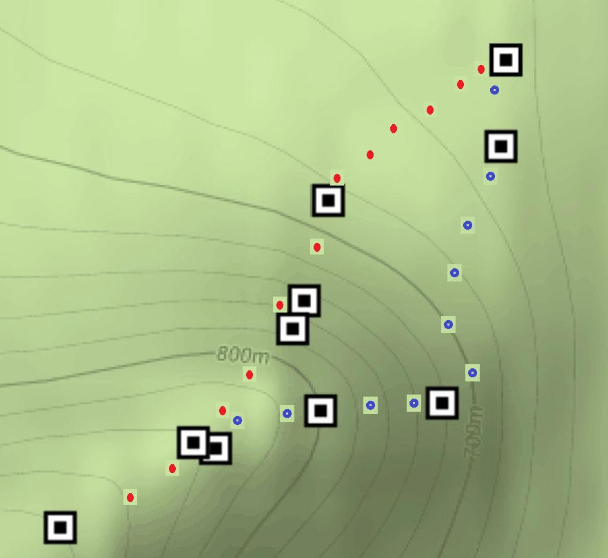
The track I took up the hill is marked in red whilst coming down it is in blue.
Once off the steep slopes I walked across the heather and peat hags heading for the ATVT at NO 06862 81159 marked on the photo with a read dot.
I had several long breaks on the return walk as I wasn't in a hurry so the time back to Inverey from the summit was about four and a half hours. I also had a long chat with a gamekeeper about the hard winter of 2017/18 when the estate lost 50 stags. Many were older animals and were found buried in snow drifts.