Beinn Mheadhonach
This was my second attempt to climb Beinn Mheadhonach, the first being in August 2020 when a combination of tiredness and strong winds led me to abandon climbing the hill from New Bridge. Even so on that occasion I'd still had an 11 mile round trip walk up Glen Tilt from Blair Atholl.
In July I stayed in Blair Atholl and had much better conditions.
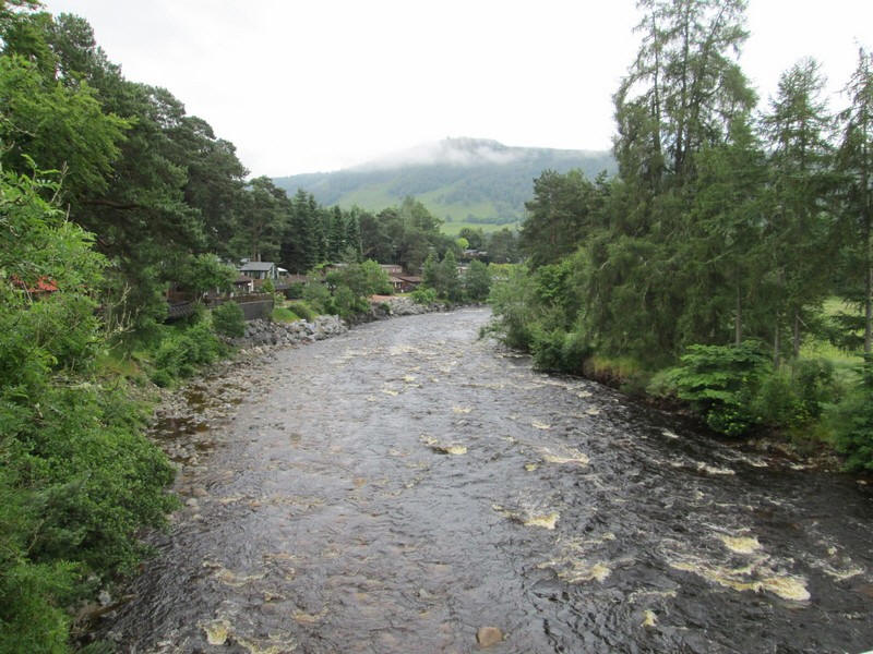
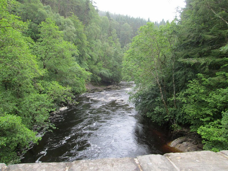
There had been a lot of rain over the previous few days and the River Tilt was in full flow.
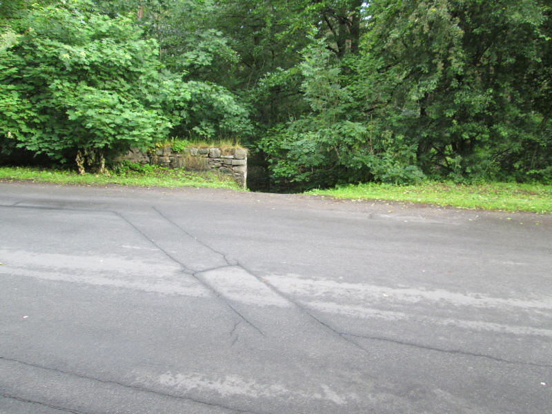
Just beyond the river bridge a set of steps leads down ....
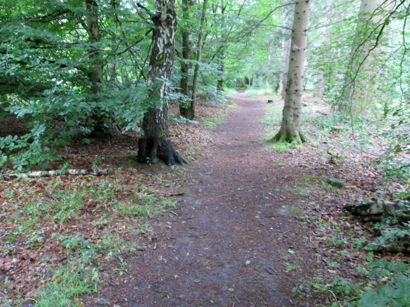
....to a delightful riverside walk through trees. This avoids having to walk along the narrow road to Old Bridge of Tilt.
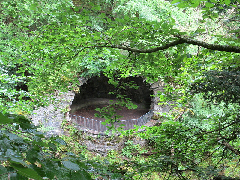
A curiosity across the river is the River Tilt Grotto which is a grade A listed structure overlooking the river at the York Cascade. It was built in 1758 as a viewpoint when part of the gardens at Blair Castle were landscaped. It has a half dome and gothic arches leading to footpaths in the grounds
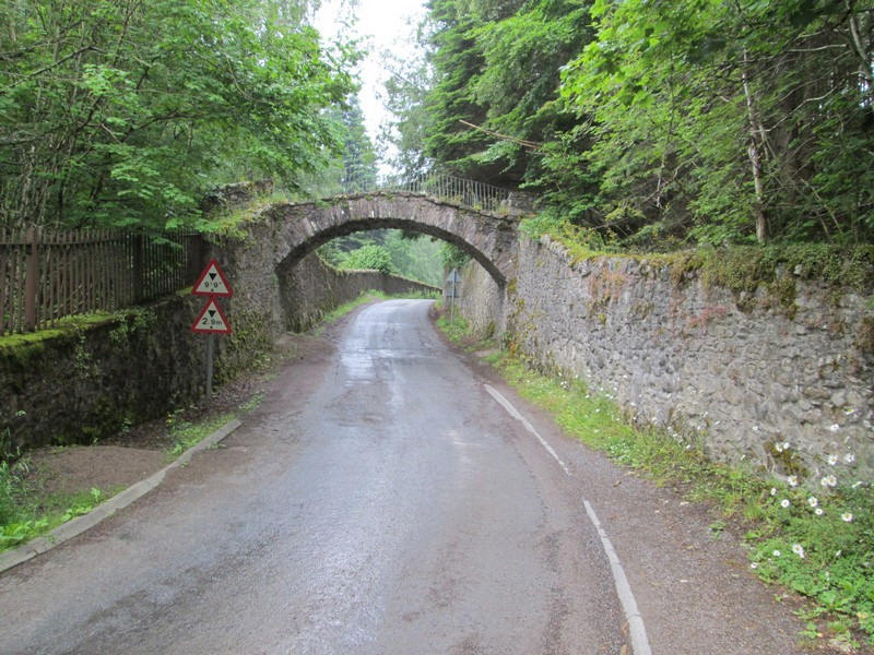
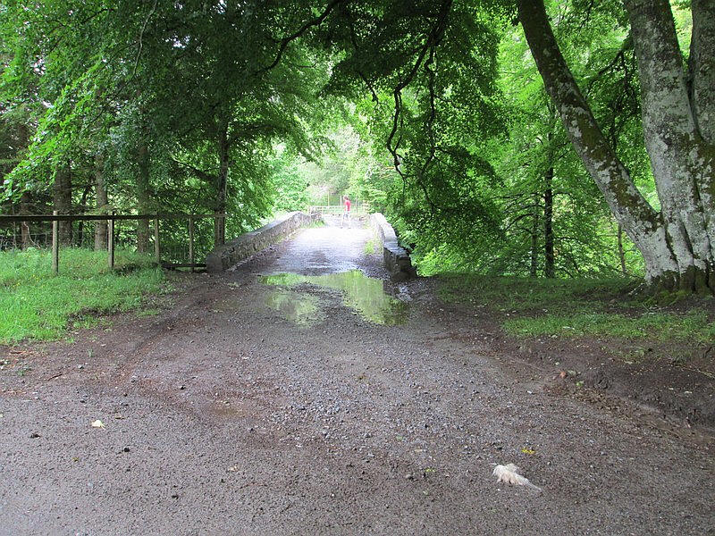
Another unusual feature at Old Bridge of Tilt is this arch over the road....
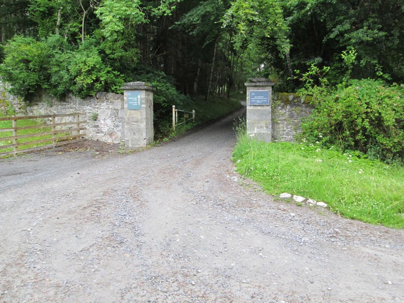
.....just before reaching the gates of the private road up Glen Tilt.
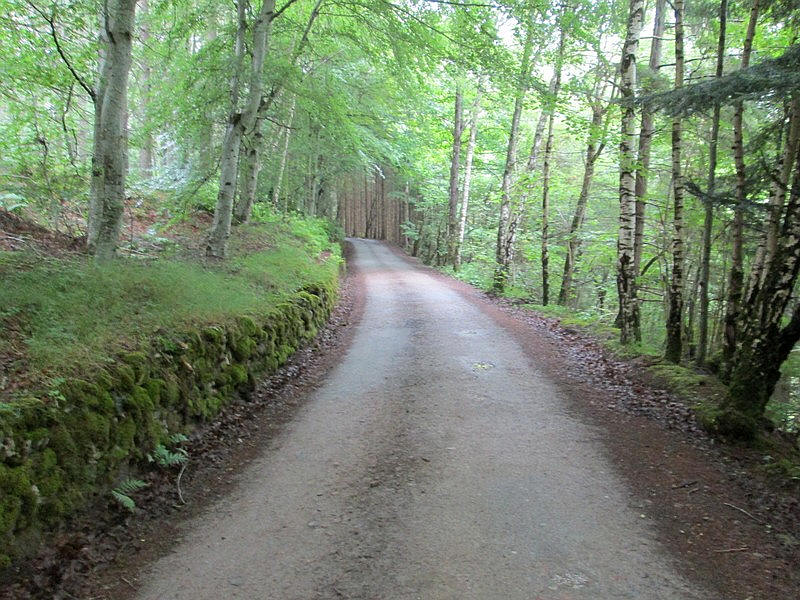
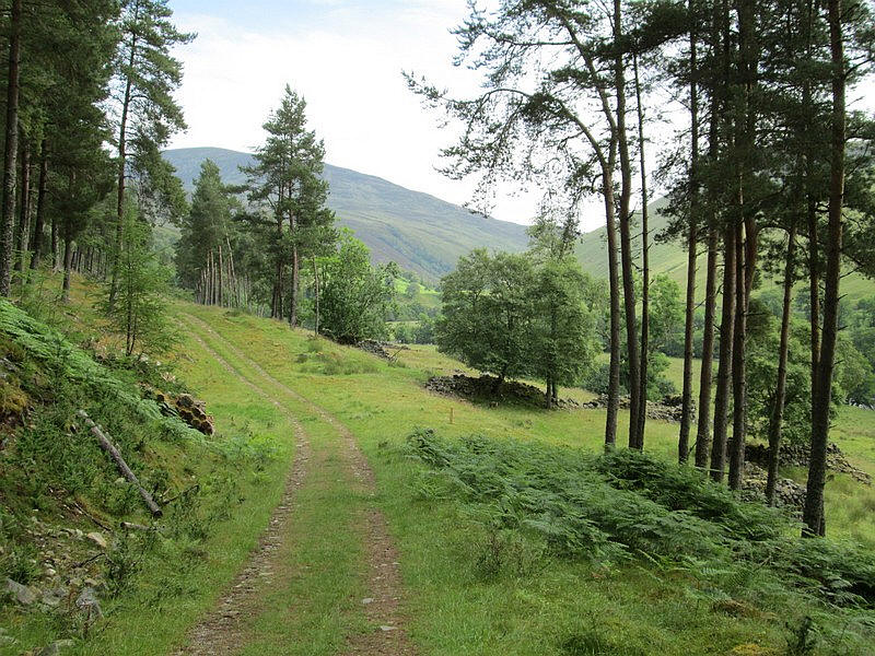
This estate road is followed for about two and a half miles and allows rapid progress, although it is something of a switchback with quite a lot of ascent and descent.
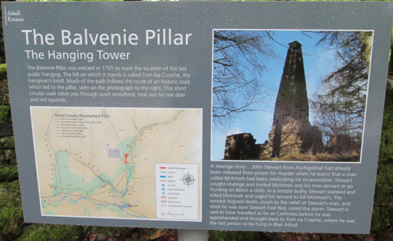
Just off the track is the Balvanie Tower where the last public hanging took place in Atholl in 1630. I decided against making my day any longer so didn't visit it.
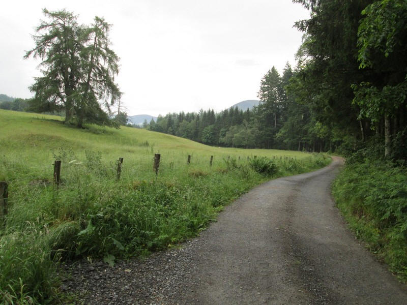
The track varies between being in woodland and more open sections.
The first of the four bridges that are crossed on this walk is the Cumhann-leum Bridge where the track crosses from the west bank to the east bank of the river.
The first view of the hills ahead appears.
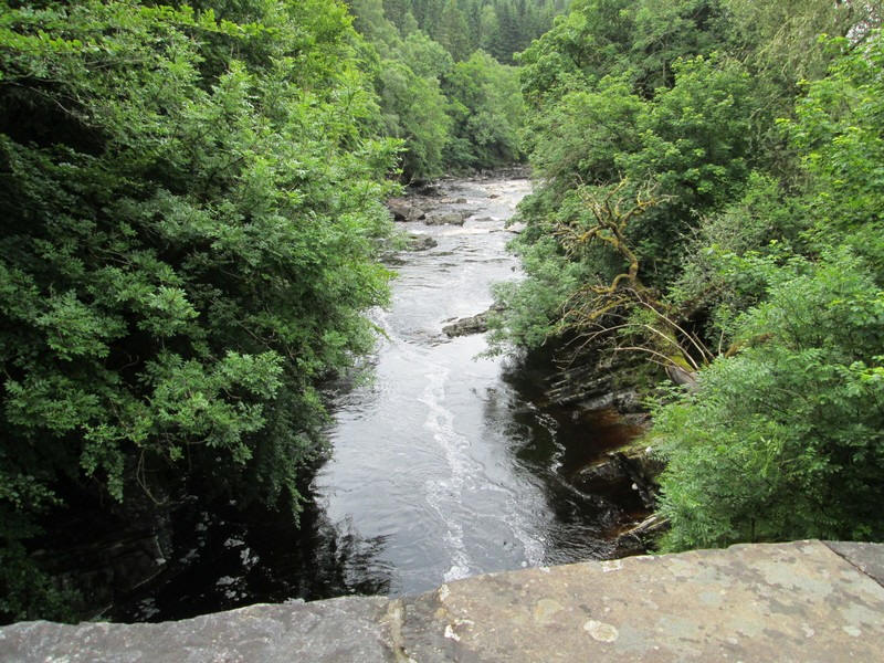
The river is in spate as it crashes down over numerous rapids.
At Gilberts Bridge the main estate road carries straight on to Auchgobahl so this turning is easy to miss - I did so in 2020 and had to double back!
Once over the river....
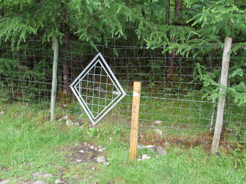
...this curious diamond shaped gate allows access through the dear fence in case.....
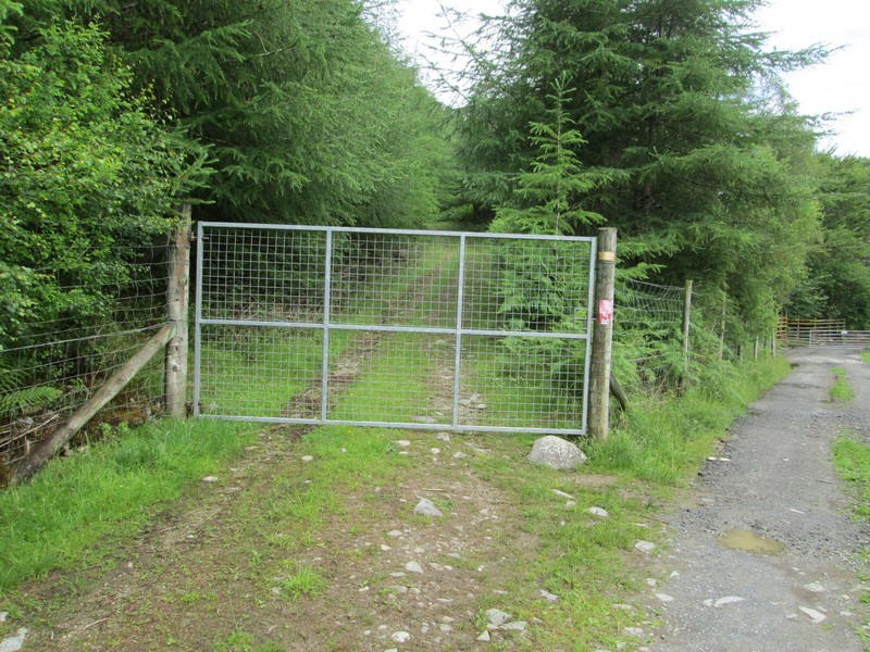
....the main gate is locked - it wasn't on this occasion.
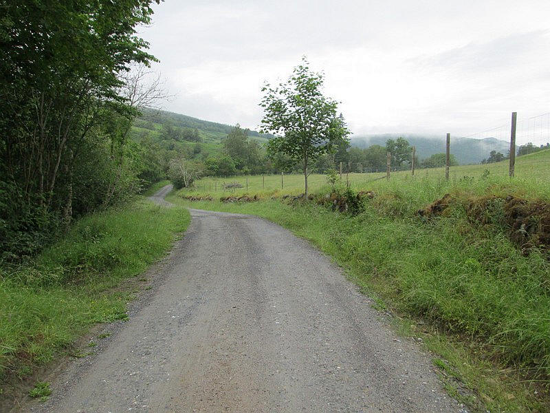
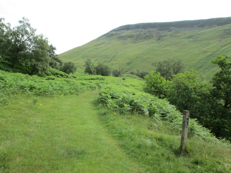
The nature of the track now changes. Ahead are the lower slopes of the Munro Carn a'Chlaim.
There's now an undulating section across grass before dropping down to another bridge.
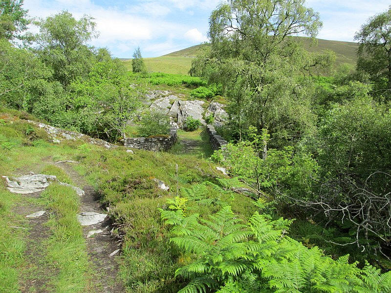
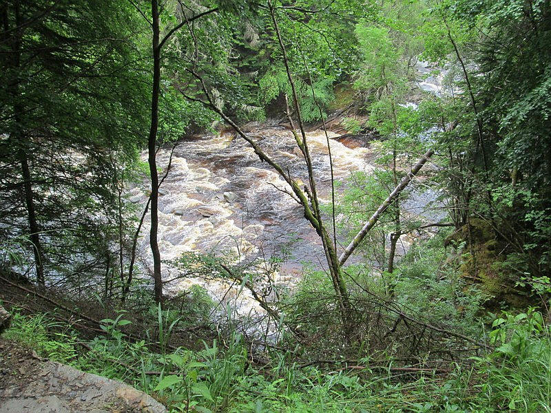
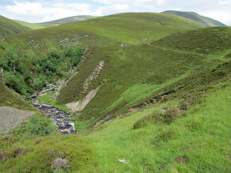
Approaching Ach-mhairc Bridge I was convinced that there was heavy machinery in use but in actual fact...
...it was the sound of the water in the Allt Mhairc being forced through the defile under the bridge.
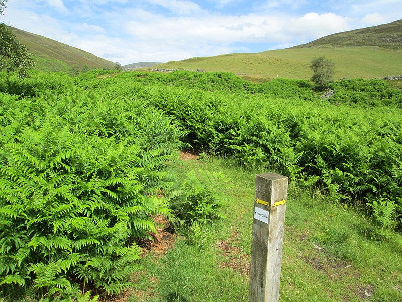
At a waymark post the main glen track is left heading towards a viewpoint.
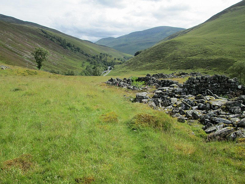
This is at the site of an old township with upper Glen Tilt ahead.
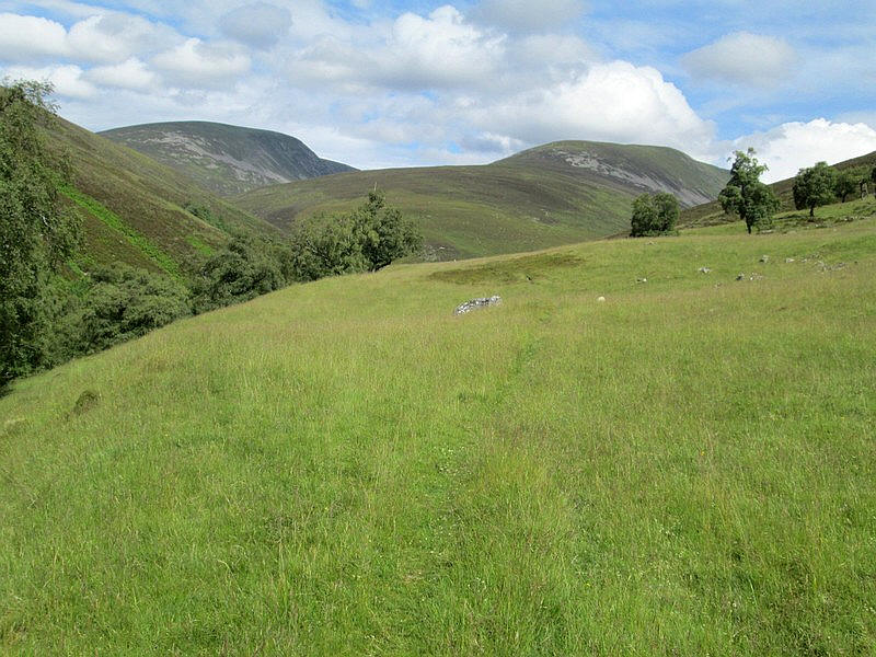
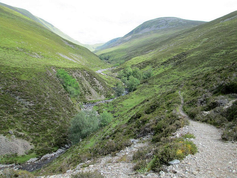
Beinn Mheadhonach is now in view on the right with the Munro Beinn Dearg on the left. There is initially a faint path...
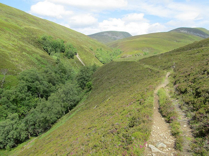
....but further up the glen it becomes much clearer and clings to the step hillside.....
....and there is plenty of evidence of landslides.
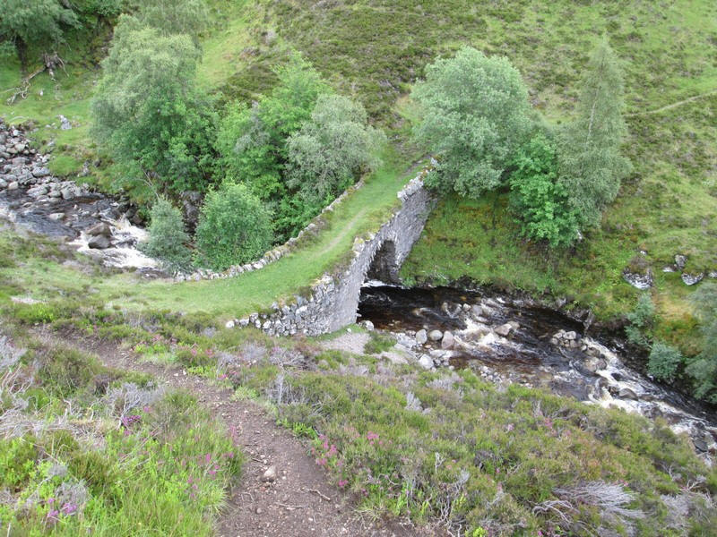
One of these landslides has slightly damage the path as it drops down to the last bridge known as New Bridge.
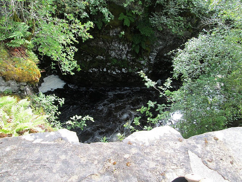
It is a solid structure but has no parapets and with.....
...the Allt Mhairc roaring underneath a little discomforting!
The path climbs extremely steeply beyond the bridge and is heavily eroded and needed care descending it especially with the speed of the water.
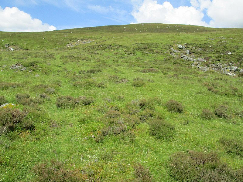
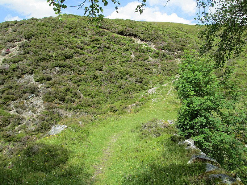
Initially the path is very faint over grass...
...but soon becomes much clearer.
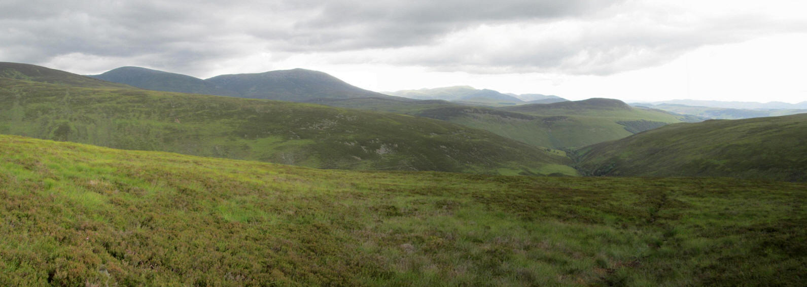
Looking back downhill with the lower slopes of Carn a'Chlamain on the left and beyond the dark hills of the Beinn a' Ghlo range. Click on the photo to see a larger image.
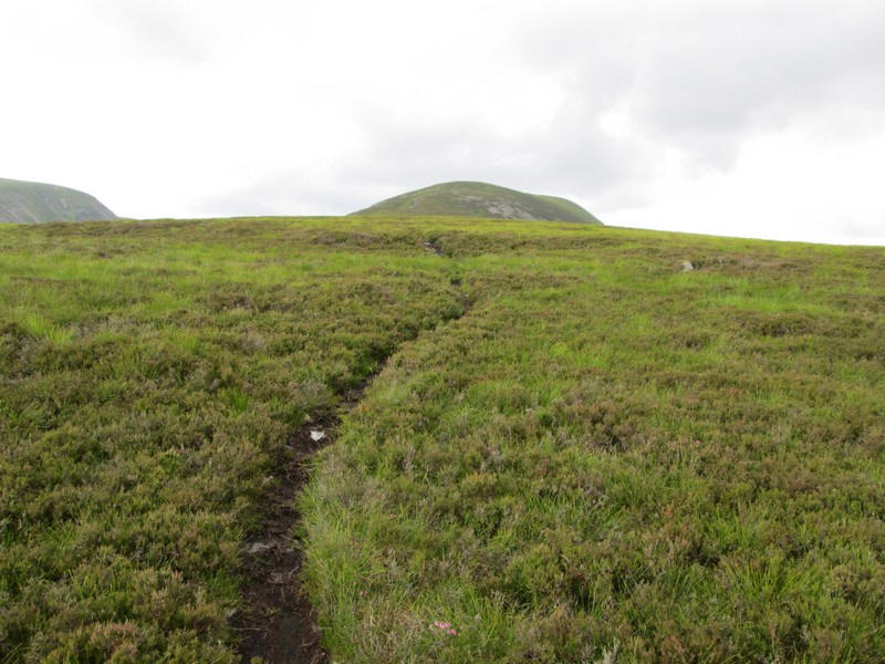
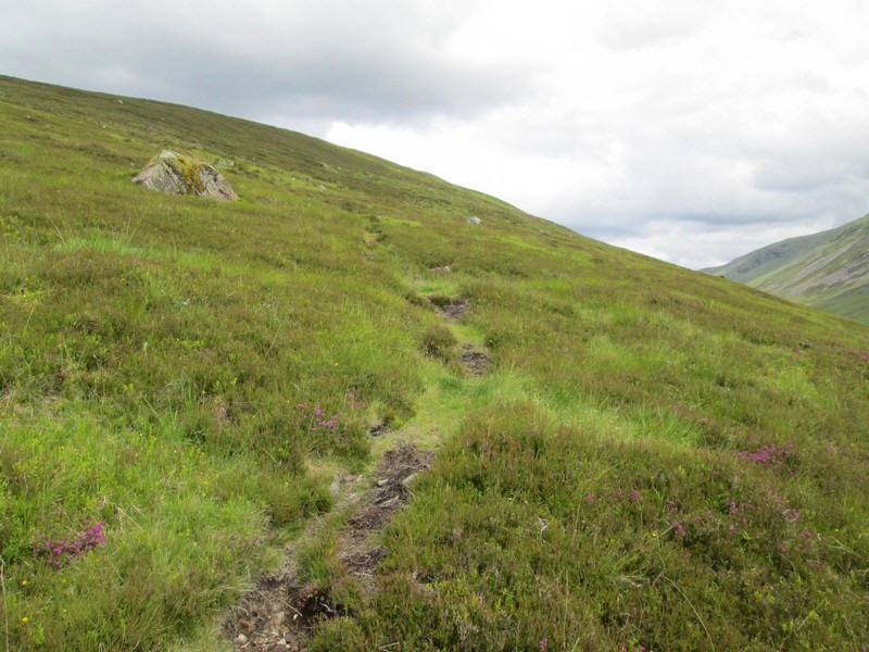
There's now a very clear path through heather.
At a very inconspicuous pile of stones the path splits. The correct way is to the left but...
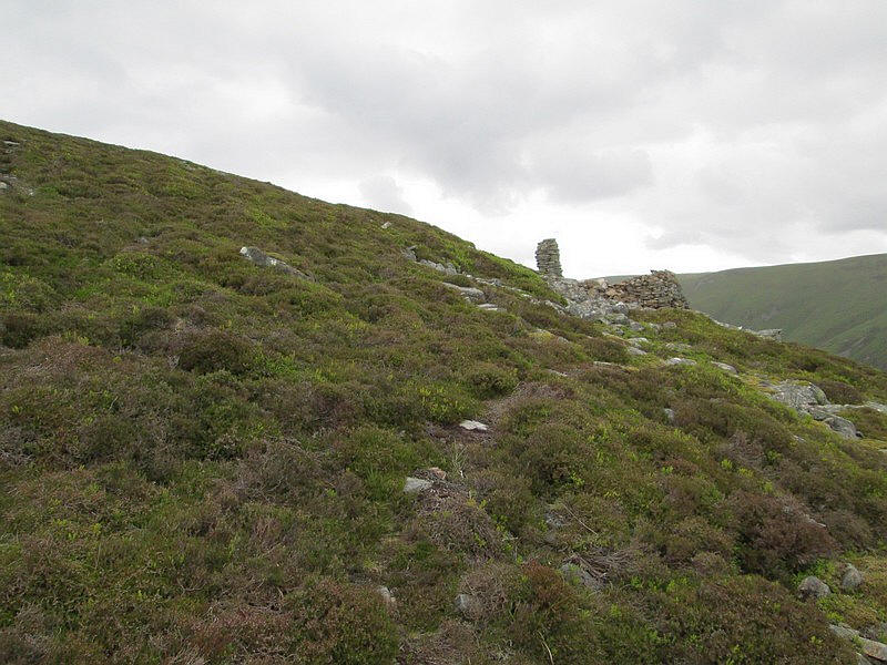
....I continued on the more obvious track to this shelter and cairn.
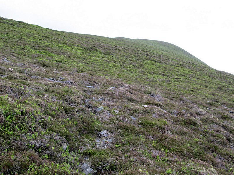
Eventually I realised that this must have been a path used for stalking so I turned off to the left where faint remnants of a dry stone dyke can be seen.
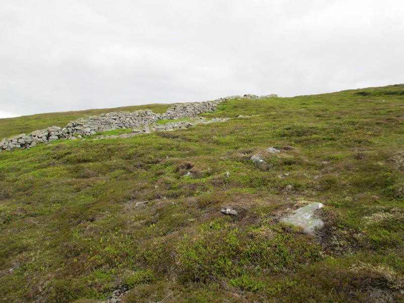
Walking by the dyke...
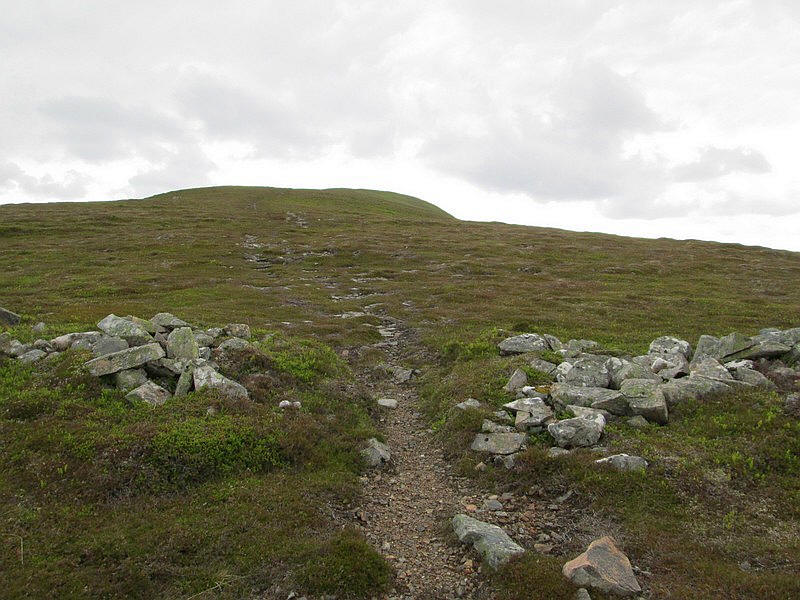
....I eventually rejoined the correct path which heads directly....
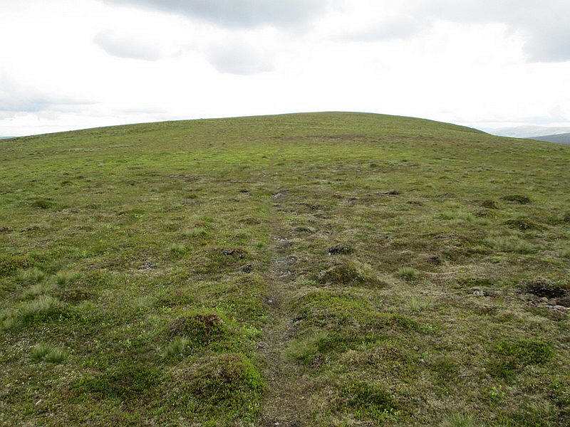
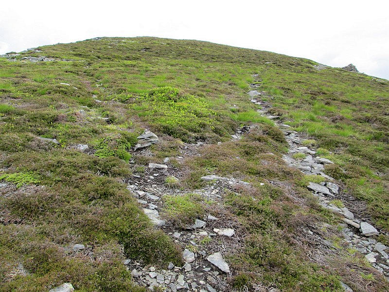
...uphill to reach the grassy top of the hill...
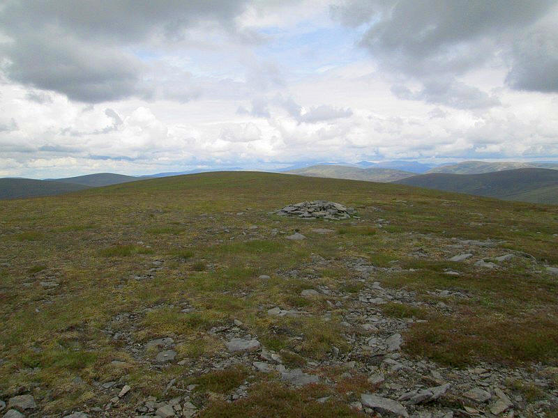
....where a pile of stones appears to be located inside the 900m contour ring on the OS map.
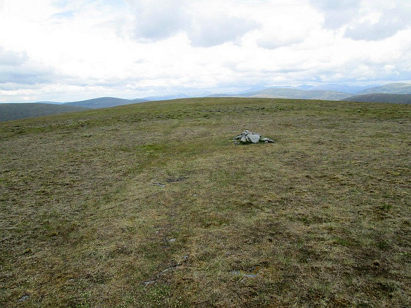
However this is not the actual summit as the map also shows a 901m spot height which is marked by a much smaller pile of stone. This hill is just 13m short of Munro status.
It had taken me exactly four hours from Old Bridge of Tilt, exactly the time on my route card so I was well please with my progress.
To be absolutely certain I had reached the top I carried on walking north until the ground dropped away.
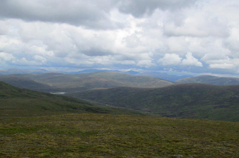
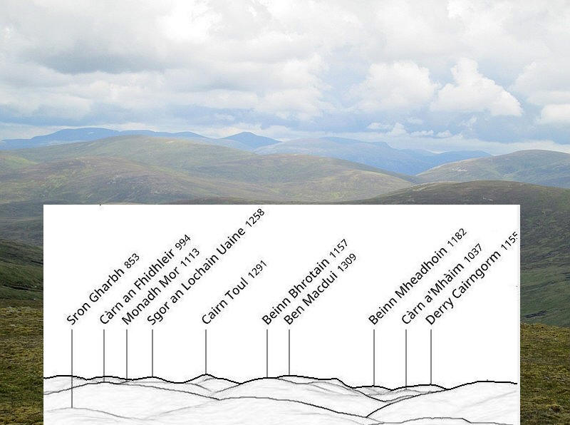
The view from the summit looking north to the Cairngorms with the waters of Loch Mhairc visible in the centre.
In the distance in the centre is the pointed summit of Cairn Toul.
Below is a zoomed image overlaid with a summit orientation profile.
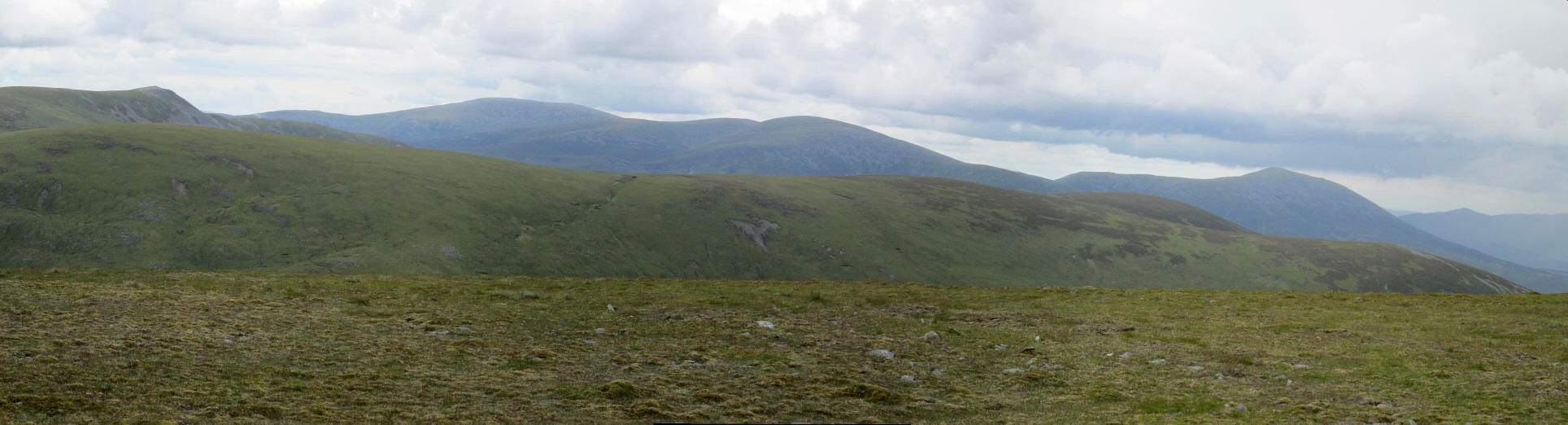
Looking east from the summit with Carn a'Chlamain to the left and the three summits of Beinn a' Ghlo beyond. Click on the photo for a larger image.
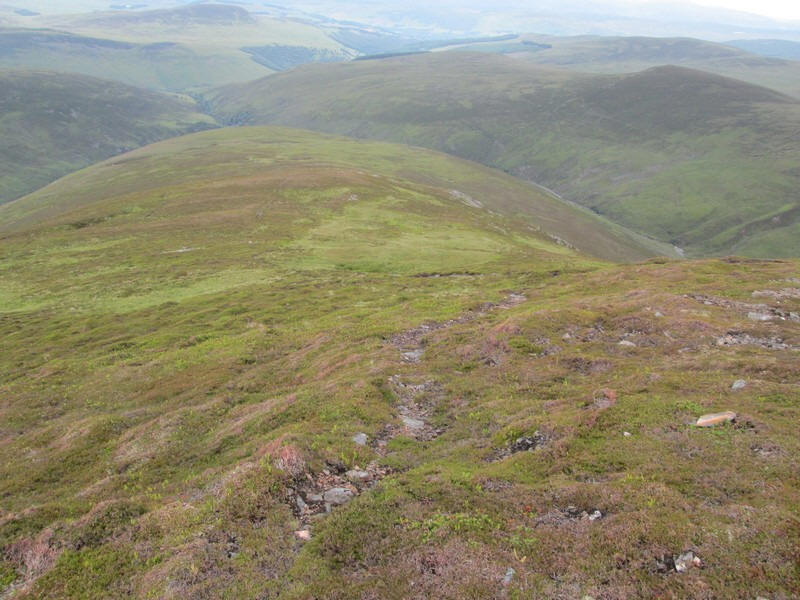
Looking down the two mile long ridge of Beinn Mheadhonach.
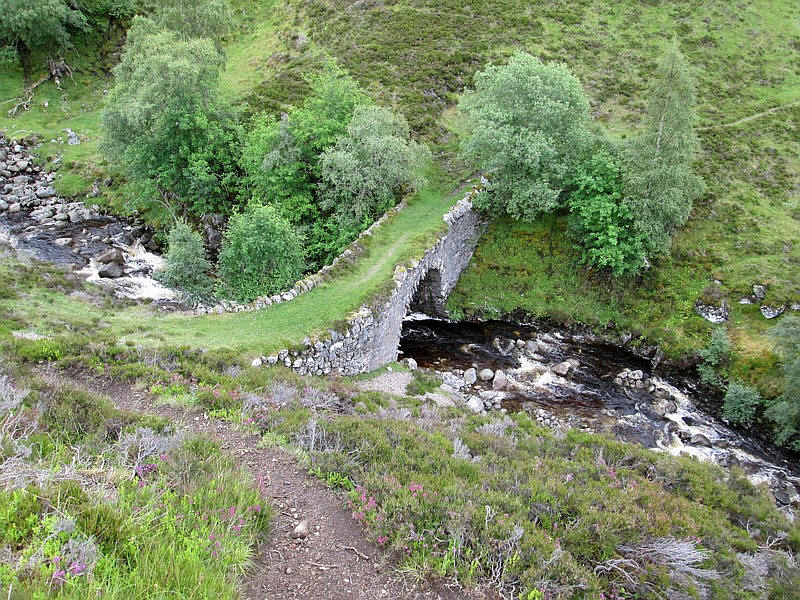
Another view of the New Bridge from above - careful going down now!
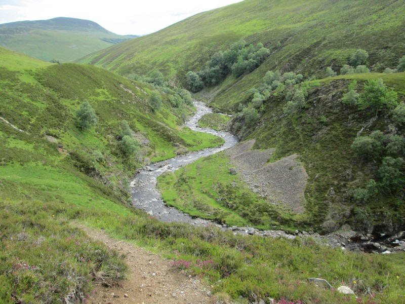
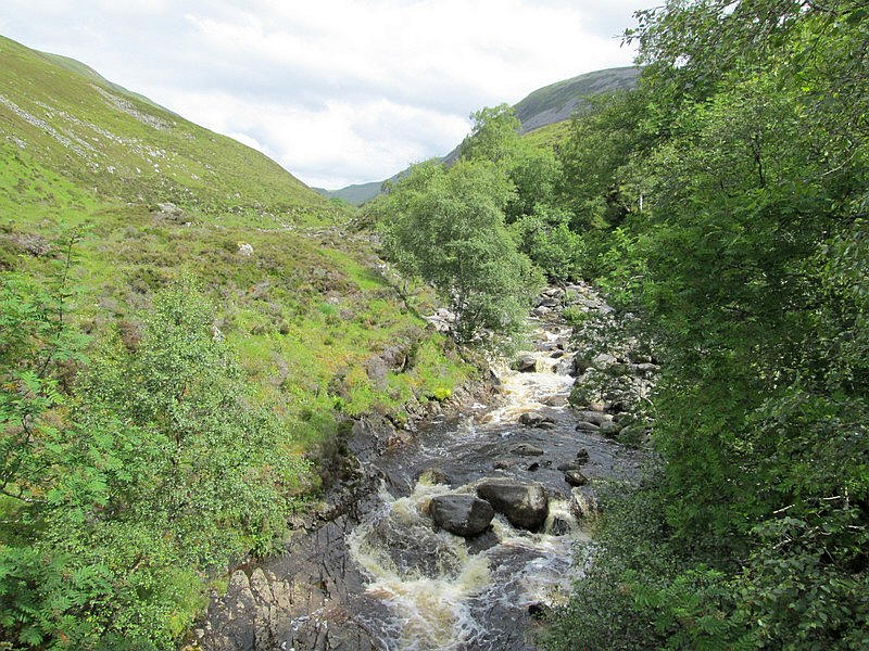
Looking down the Allt Mhairc.