Beinn Udlaidh
This walk was undertaken in June 2021 and involved catching the 06:45 bus from Glasgow to Bridge of Orchy.
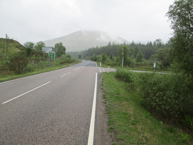
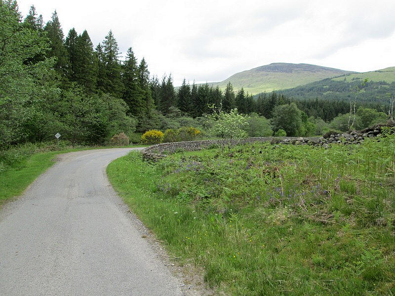
After a cup of coffee at the hotel I set off on the short walk along the A82 to the junction of the minor road that runs down Glen Orchy.
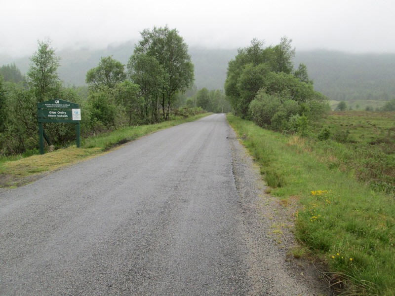
To get to the start of the hill walk takes about an hour during which time I only saw a handful of vehicles.
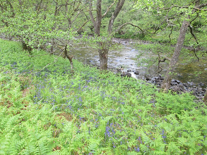
It's a pleasant walk with the River Orchy visible most of the way.
Directly ahead is Beinn Udlaidh with the prominent outcrop of rock visible slanting diagonally up the hill.
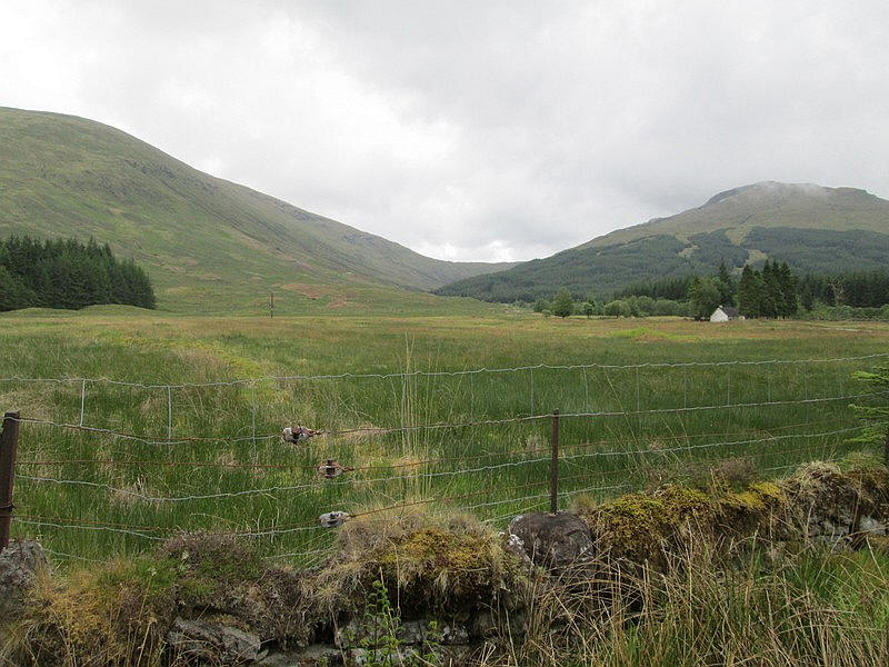
To the left are the slopes of Beinn Bhreac-liath, which I climbed in October 2020. This hill linked to Beinn Udlaidh (on the right) by the bealach in the centre of the photo. On that occasion I had also hoped to climb Beinn Udlaidh as well, but the difficulty I had getting over a new deer fence meant that I didn't have sufficient time to climb it as well.
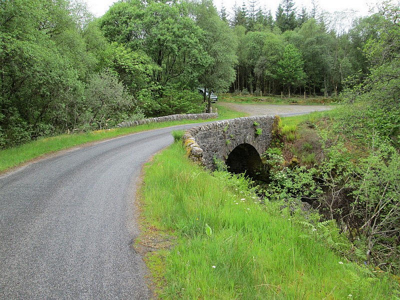
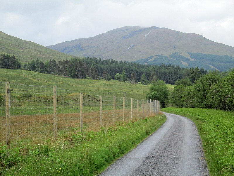
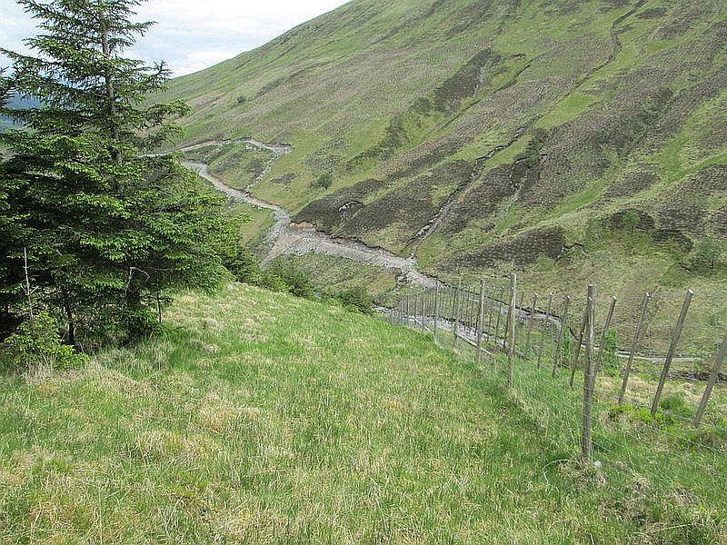
Directly beyond this bridge over the Allt Ghamhain the track to the hill goes off to the left through a gate.
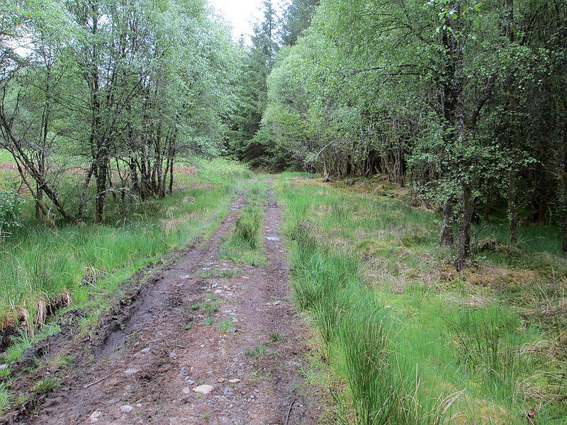
The forest track allows good progress as it heads through the trees....
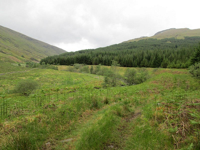
....before passing along the edge of a cleared area.
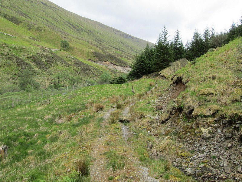
After a couple of kilometres near the end of the forested section the valley has narrowed and ....
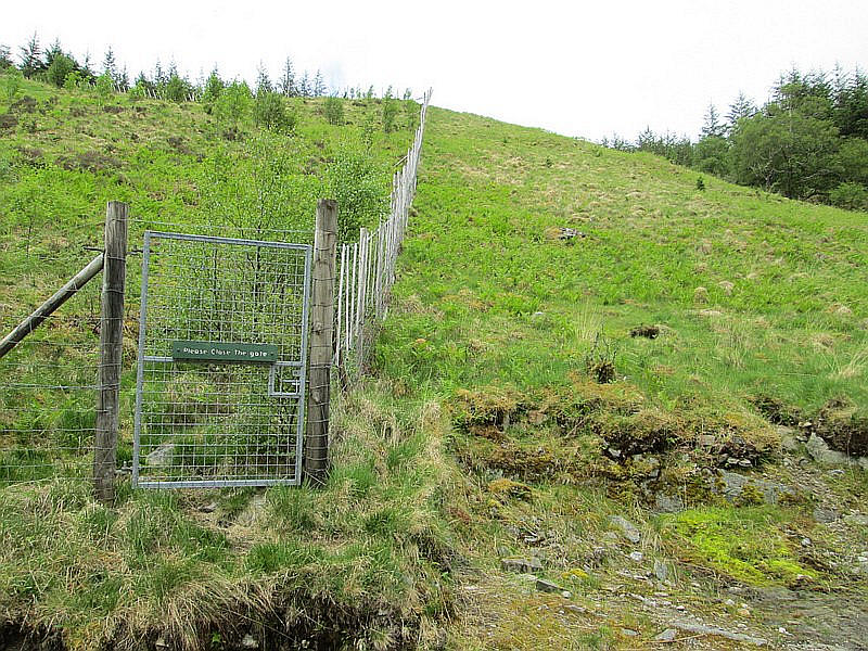
....this gate in a deer fence is reached. I had had a long conversation with a forestry worker who suggested that it was easier if I went up the hillside on the right hand side of the fence rather than going through the gate.
The first few hundred feet are extremely steep although there is a faint track uphill.
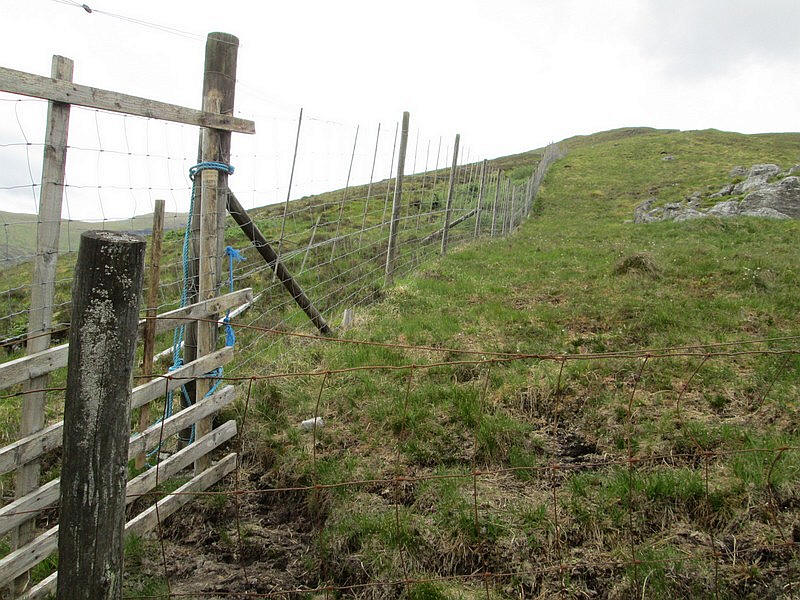
The reason for heading up the right side of the fence is to avoid the tied up gate in the corner of the deer fence. There is still a low wire fence to cross but it was easy just to step over it. The way forward is now directly uphill by the fence. There are no further man made obstacles ahead.
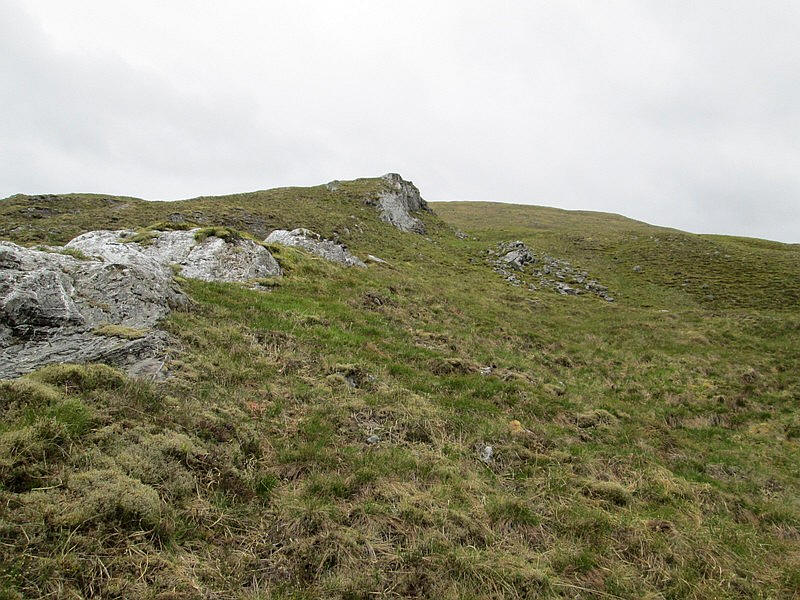
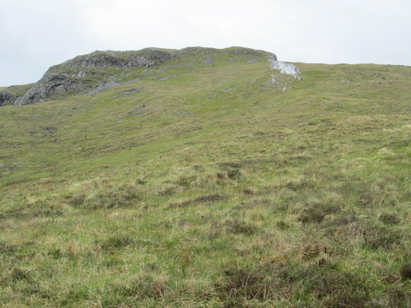
The first section of the quarzite dyke appears...
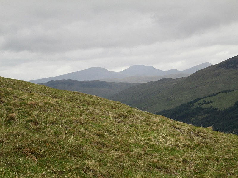
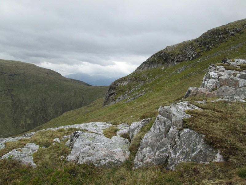
Over to the west atr the Munros of Beinn nan Aighenan, Ben Starav and Glas Bheinn Mhor in Glen Etive (left to right)
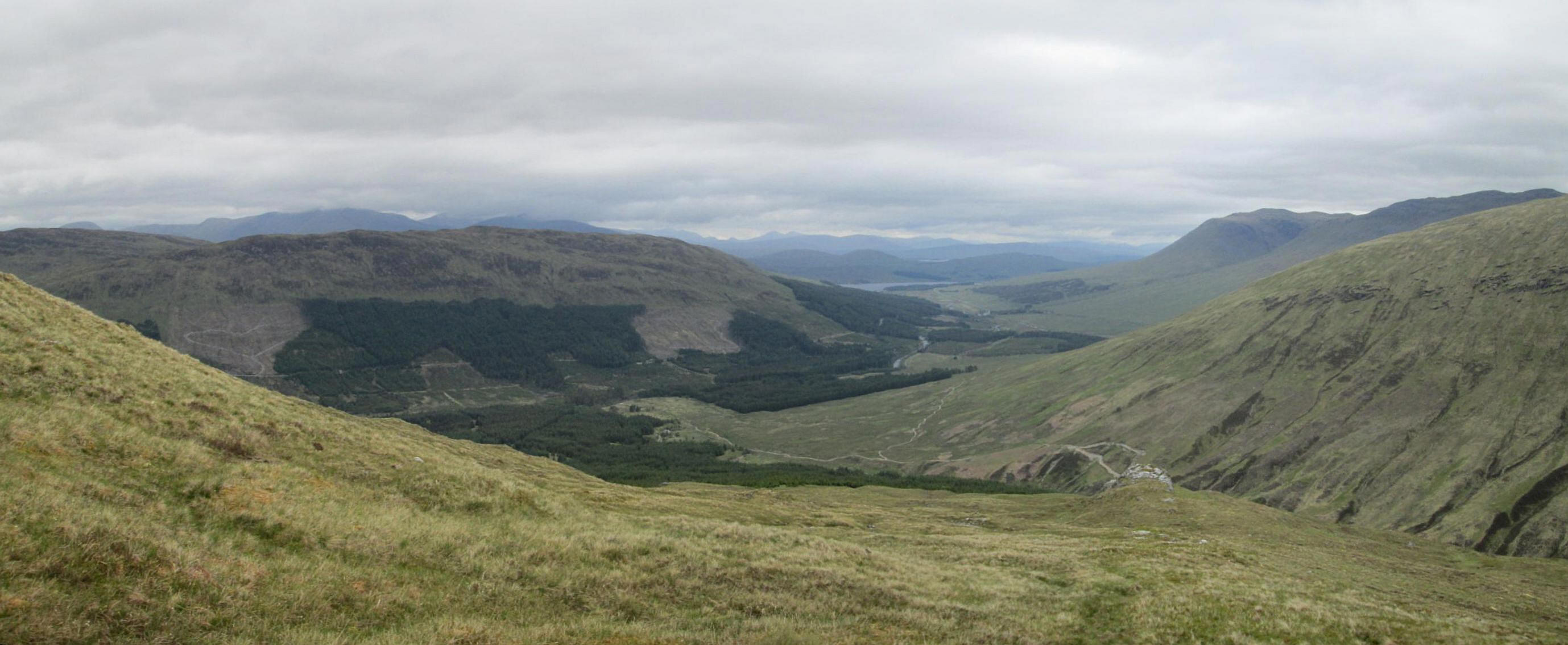
Panorama looking down into Glen Orchy with Loch Tulla in the centre. Click on photo for a larger image.
It is a steady but not particularly steep climb past more outcrops
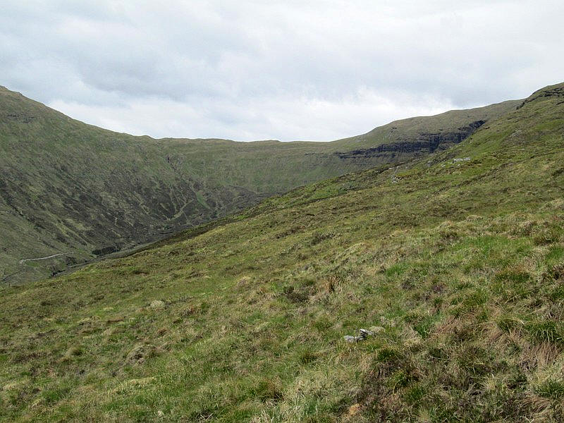
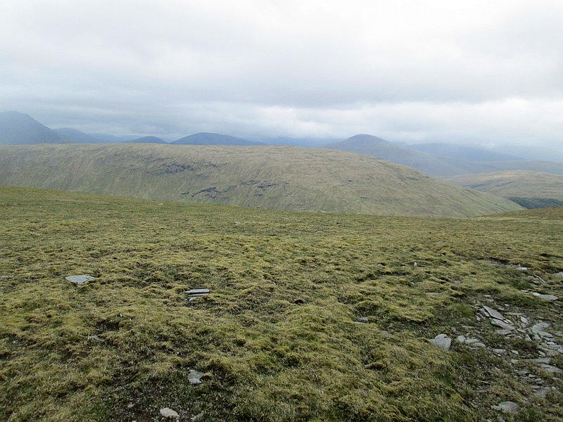
Looking east towards the bealach with Beinn Bhreac-liath and into Coire Ghamhnain with the cliffs on the east side of Beinnn Udlaidh on the right.
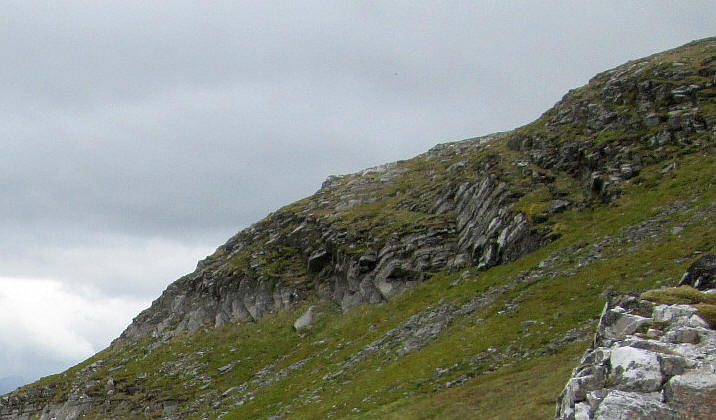
There are numerous breaks in the dyke....
....but some show considerable forces have been at work as can be seen in the image below.
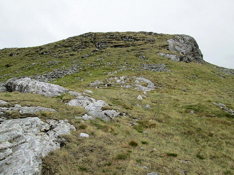
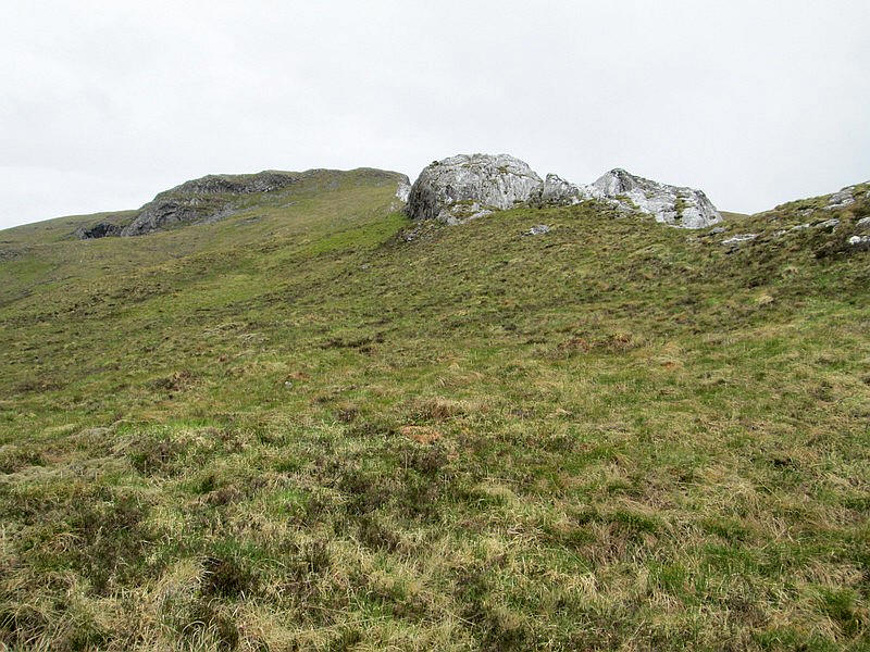
There is one last major outcrop...
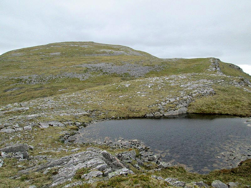
...before a small lochan is reached and the summit dome comes into view,
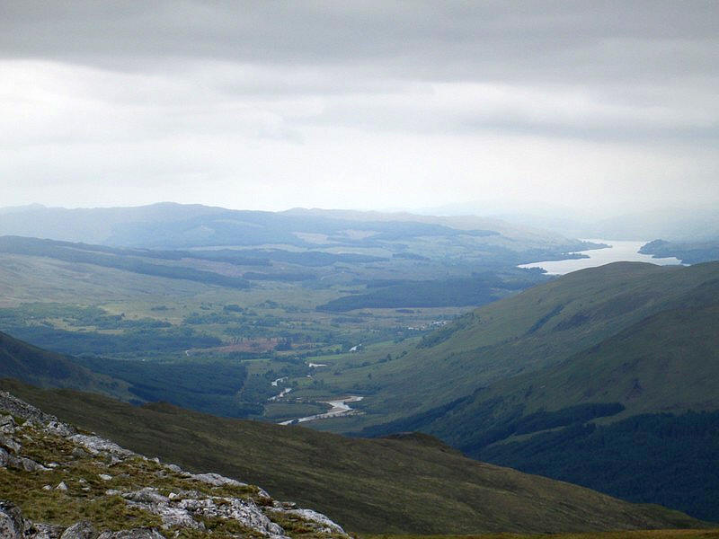
To the south west the River Orchy is seen near the village of Dalmally and beyond the waters of Loch Awe.
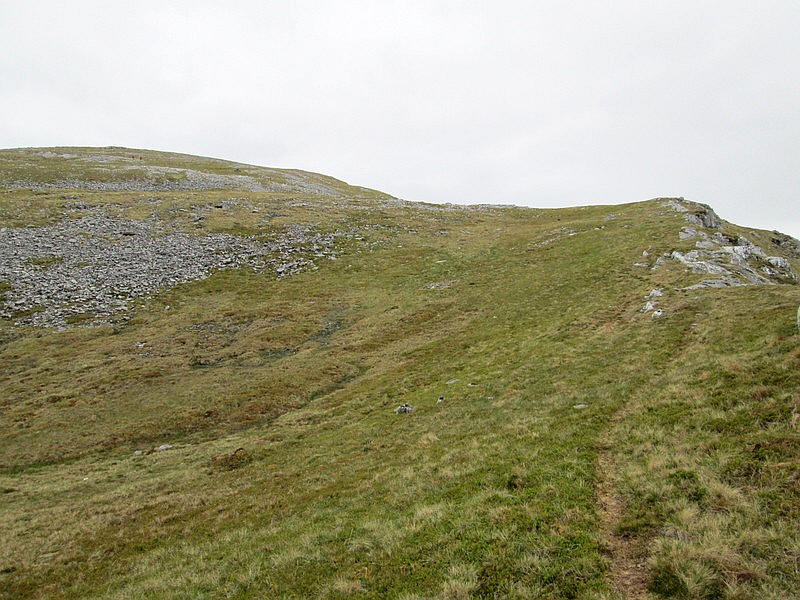
A track appears near the summit...
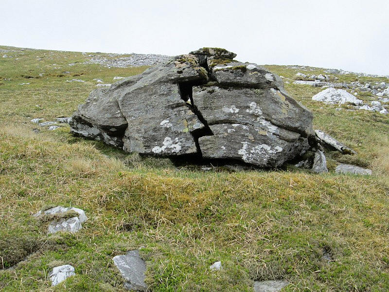
...whilst this erratic rock, dumped here in the ice age, has split dramatically due to freezing ice splitting the rock.
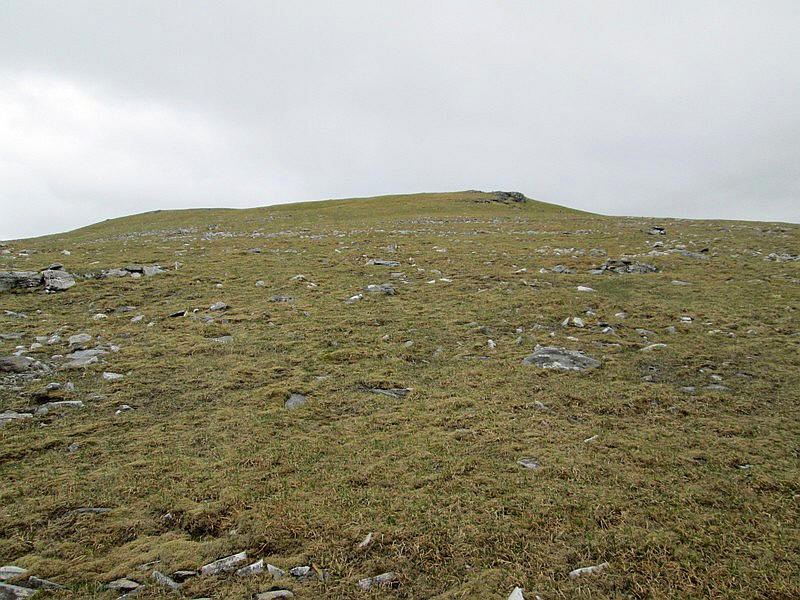
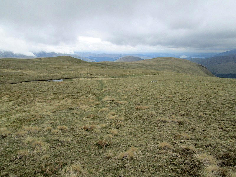
The approach to the summit is over turf ....
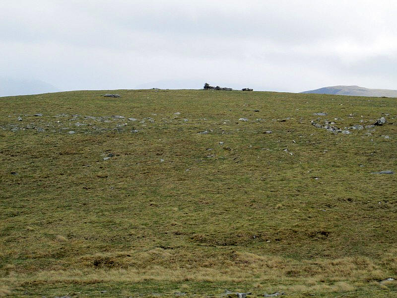
...and there is a pile of stones visible at the summit .
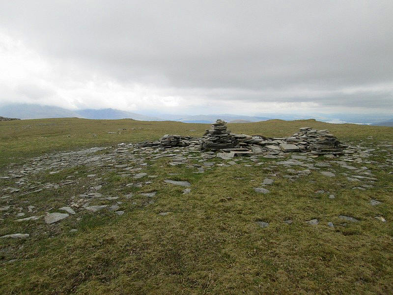
The summit is marked by a cairn and what appears to be a demolished shelter wall
The summit of Beinn Udlaidh is at 840m, compared to the 802m of Beinn Bhreac-liath which is seen across the corrie.
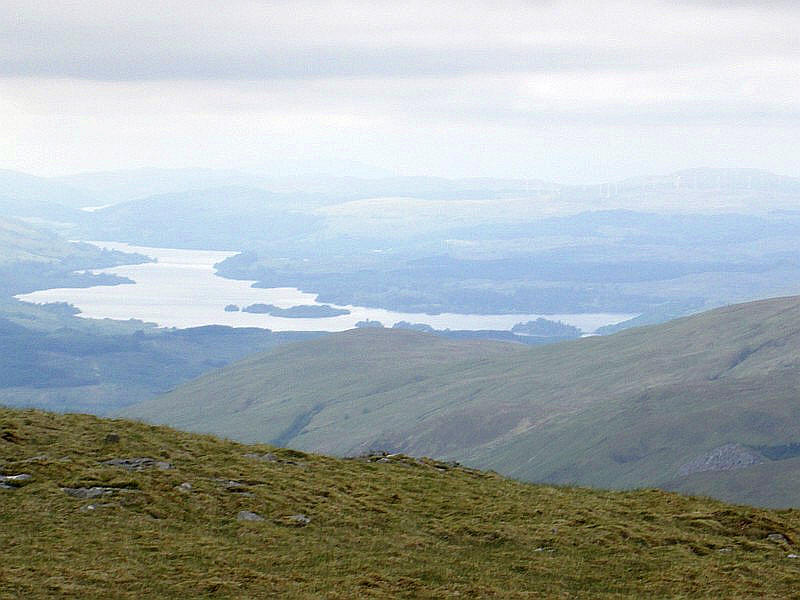
A zoomed in view of Loch Awe with its numerous islands.
Rather than return the same way to Bridge of Orchy I had decided to descend to Glen Orchy Farm. Curiously there is a broad track that reaches almost to the summit of Beinn Udlaidh. Returning this way would also allow me to see the corrie on the west side of the hill as well as the rapids on the River Orchy.
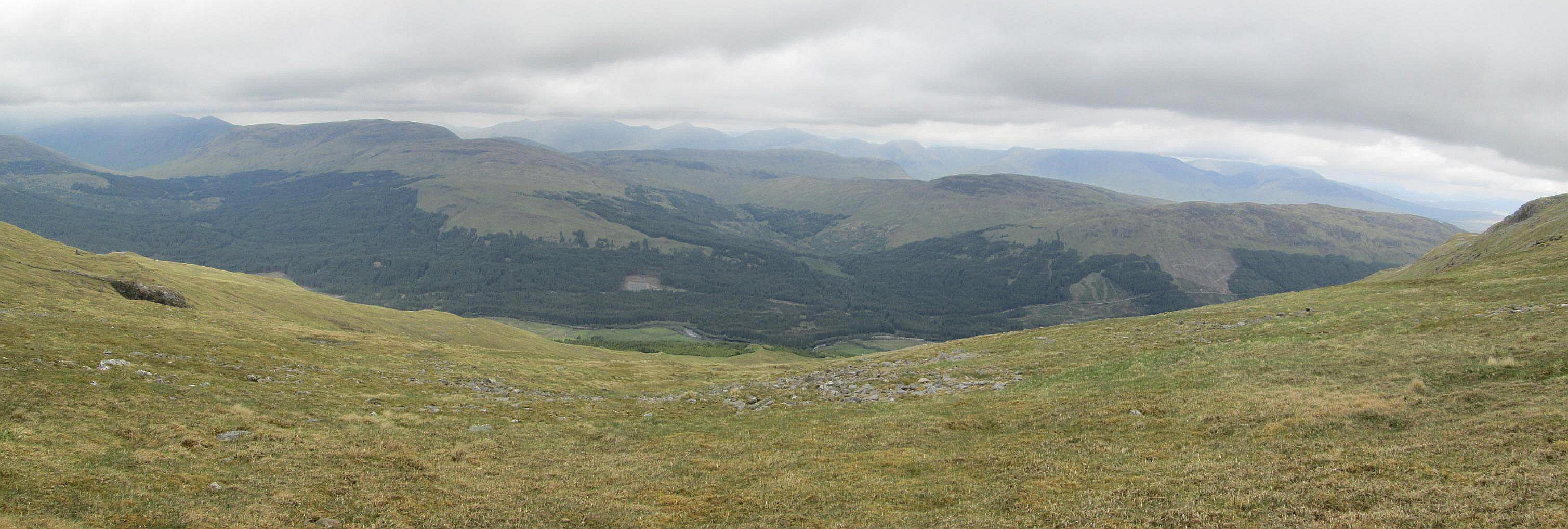
Views from the summit are not particularly good but this panorama, taken from a little further downhill, shows the third Corbett in Glen Orchy, Beinn Mhic Mhonaidh.
I wandered around the summit area to find a sheltered spot for a leisurely lunch and then set off on a GPS bearing to about NN276326 where the track is shown on the map crossing a wall.
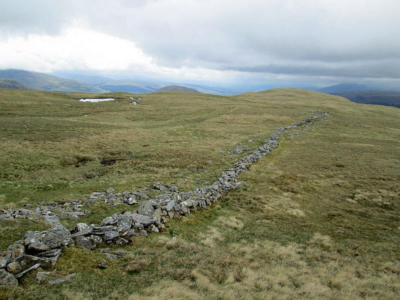
The remains of a wall, or dyke, was reached and just the other side a clear and broad track can be found.
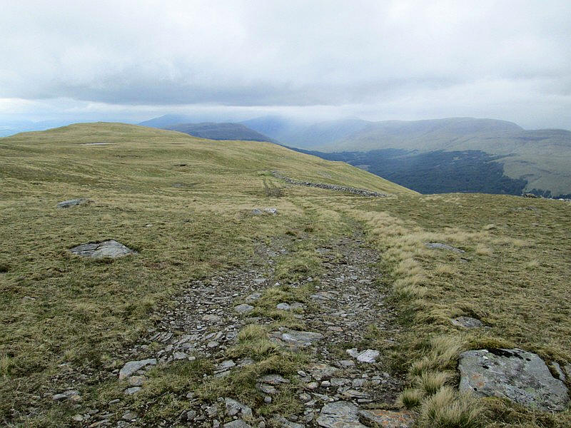
The track soon begins to descend ...
...towards the edge of Coire Daimh
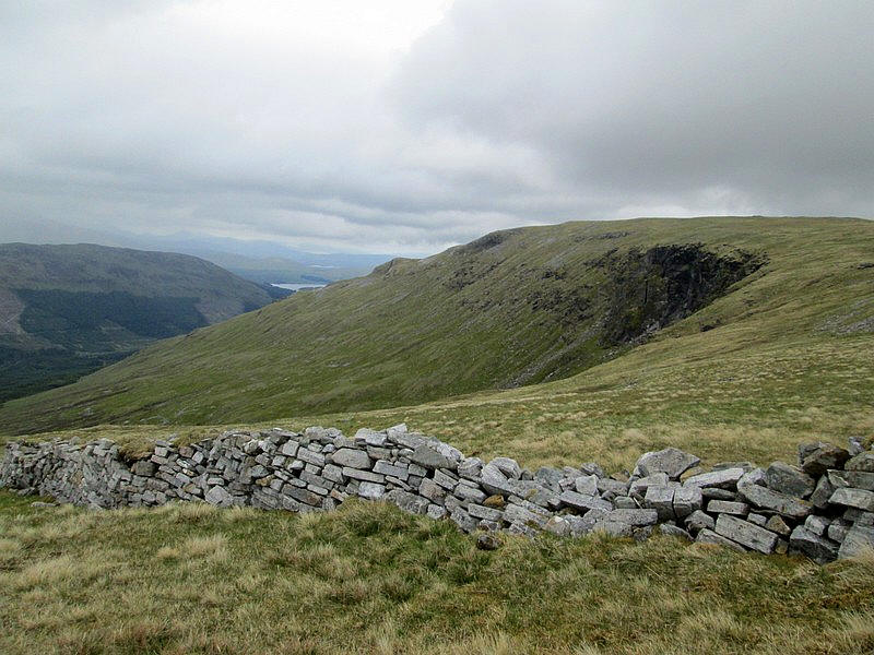
The track is rough and steep and I found the descent into Glen Orchy relentless and never ending.
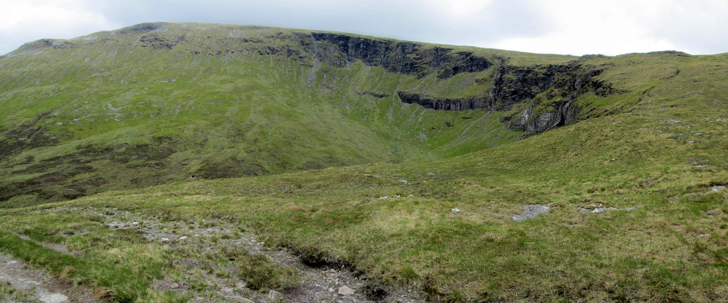
One of the reasons for coming this way was to see the cliffs at the head of Coire Diamh and I wasn't disappointed. Click on the photo to see a larger image.
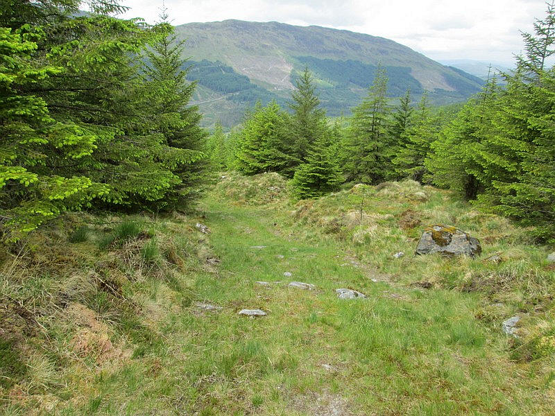
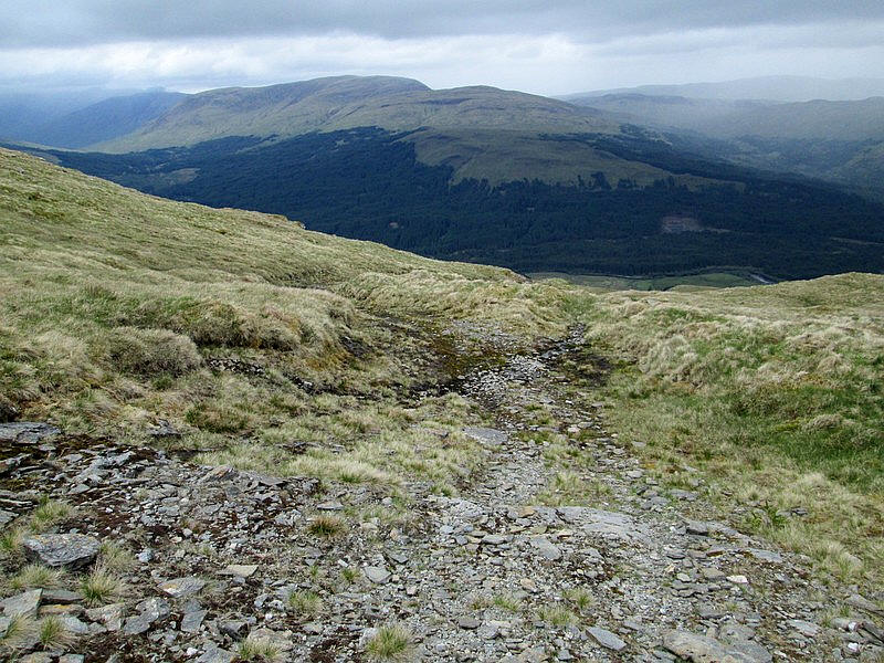
Eventually the track heads into woods...
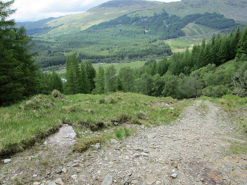
....and becomes even steeper as it follows the Allt Daimh into the glen.
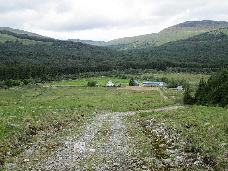
Glen Orchy Farm is seen in the broad glen floor. Some walkers refer to taking a short cut across the fields here and encountering pigs on the loose. I decided it would be just as quick to carry on down to the farm.
Back on the road it is a little under two hours back to Bridge of Orchy,
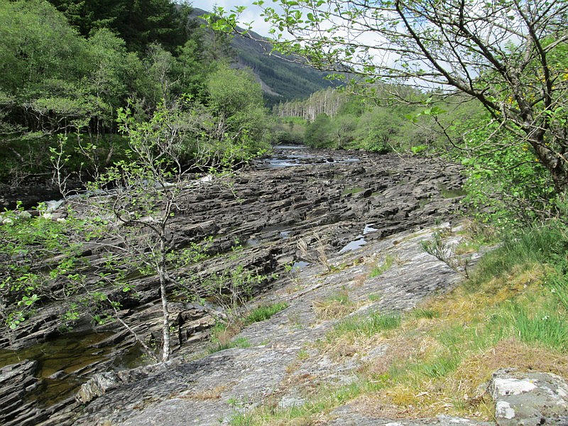
To enliven the road walk there are several sections of rapids shown on the map as Easan Dubha. Water levels were low....
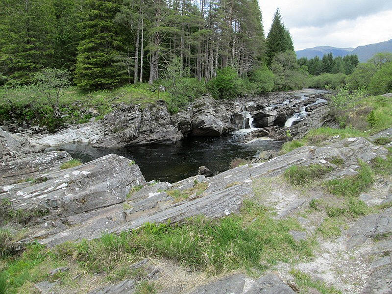
....unlike on my October 2020 visit.....
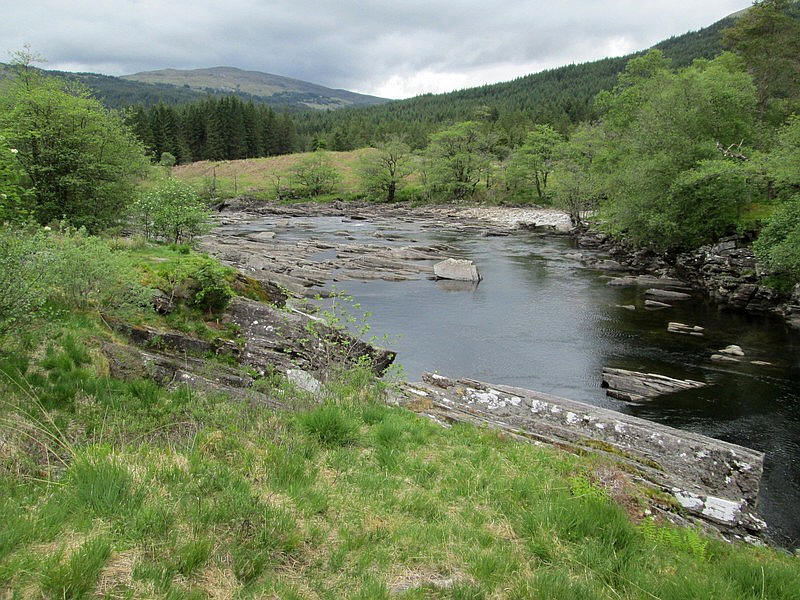
....so not as spectacular as they would have been then.
I arrived back at Bridge of Orchy exactly 8 hours after having set out and just in time for my booked meal at the hotel.
Now I just have to climb Beinn Mhic Mhonaidh top complete the Corbetts and Munros in this part of Scotland.