Ben Challum
Back in October 1999 we climbed Ben Challum as far as the South Top when we were nearly blown off our feet and decided that it wasn't prudent to continue to the summit. I've promised myself for years that I would return but it wasn't until August 2022 that I finally achieved what is my 190th Munro.
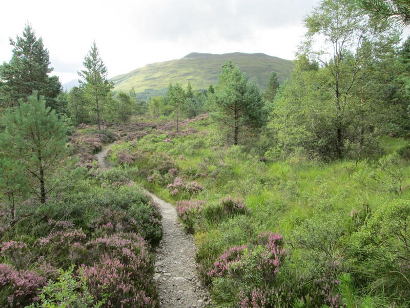
I started from Tyndrum at 09:00 along the West Highland Way...

Just beyond the woods beyond the village the WHW crosses this desolate area where lead ore was smelted in the past. There are also notices about panning for gold in the streams nearby - there is now a commercial gold mine in Glen Cononish.
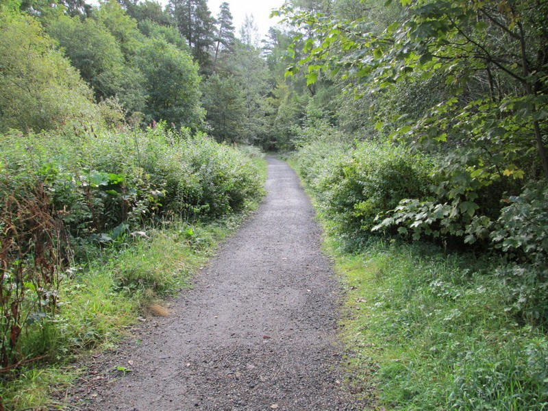
The WHW passes through regenerating woodland.......
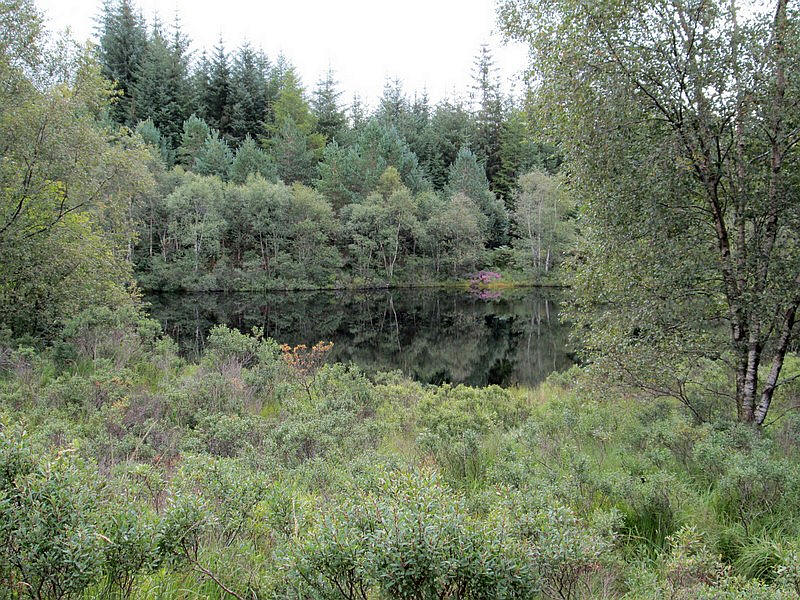
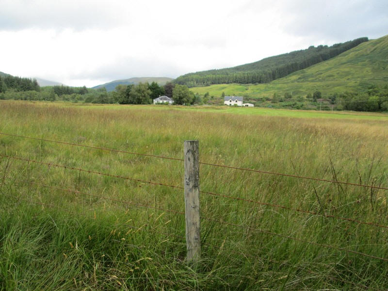
...and past the Lochan of the Lost Sword which the photo below explains.
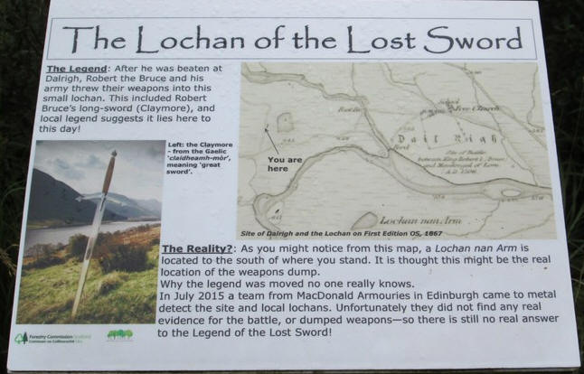
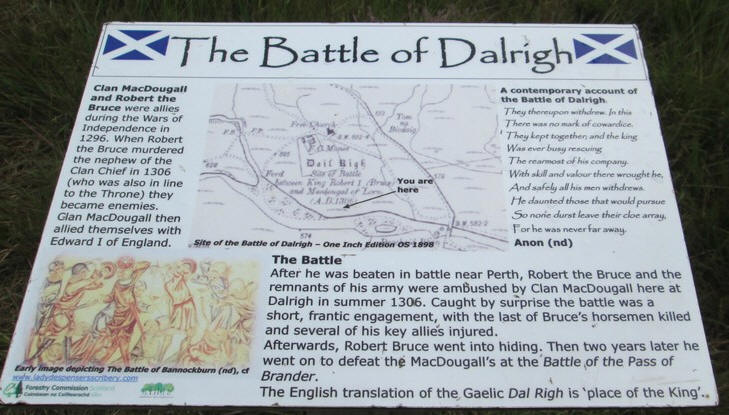
At little further on at Dalrigh is the site of the 14th century battlefield.
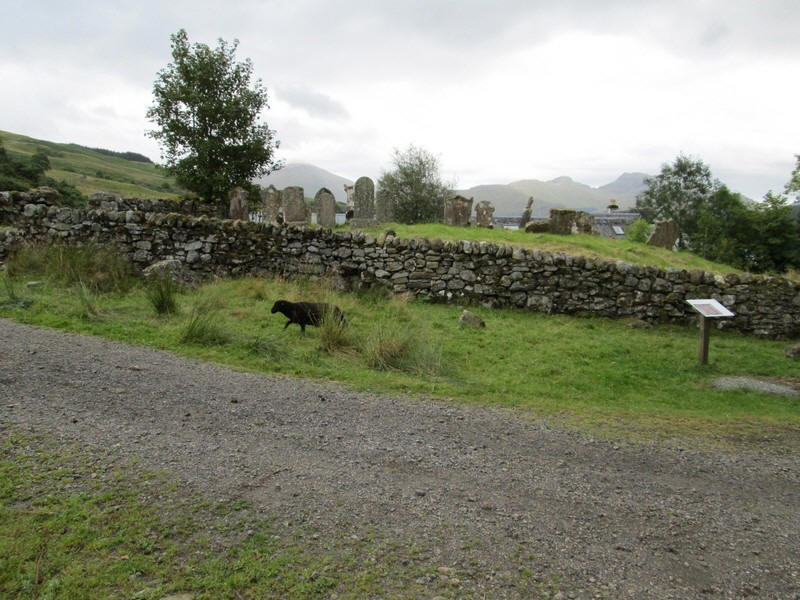
After passing under the main A82 and the farm and wigwams at Auchtertyre Farm the small grave yard near Kirkton Farm is reached and the walk up Ben Challum begins
It's taking me a bit longer than expected to reach here as I misinterpreted the WHW signage and ended having to retrace my steps! I should have been paying more attention to my map.
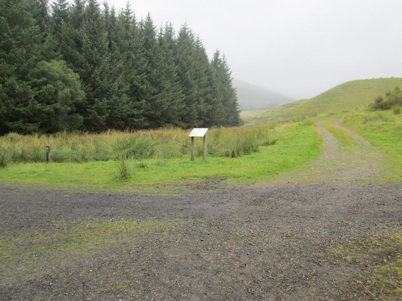
So at 10:25 I start up the farm track just opposite the graveyard.....
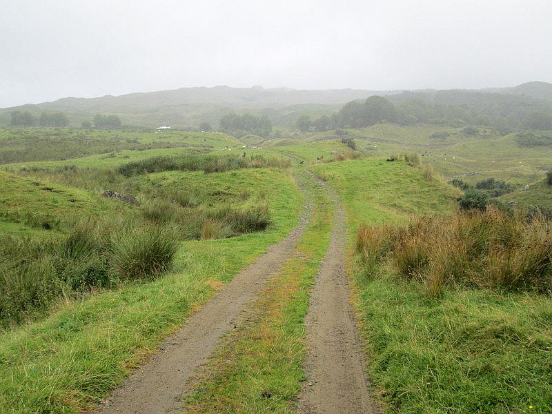
.....uphill towards the......
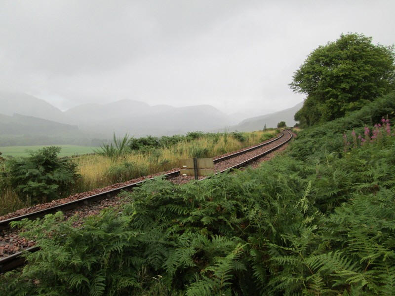
...railway line on the Fort William line.
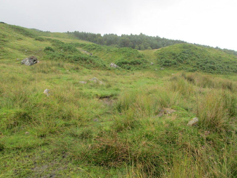
About 50 metres beyond the level crossing the very faint path starts at NN36125 28831. Surprisingly, there was no cairn and it is very easy to miss - guess what I did?
The path heads towards the deer fence which will be followed almost all the way top the South Top.
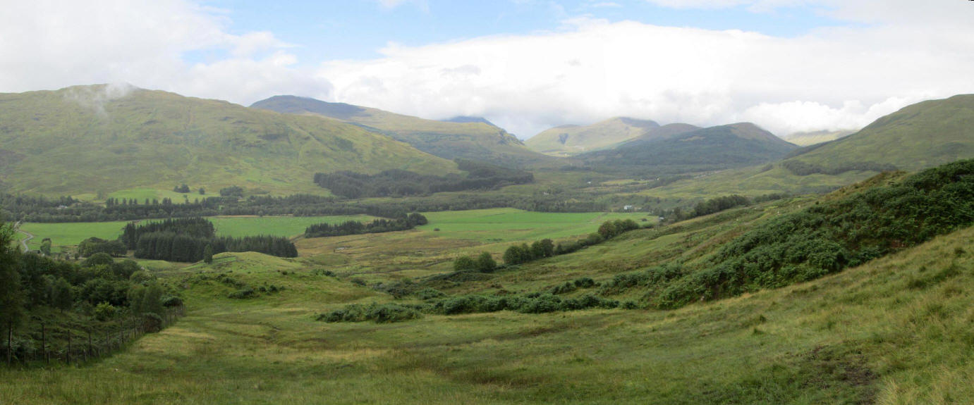
Looking back into Strathy Fillan. Click on photo to see a larger image.
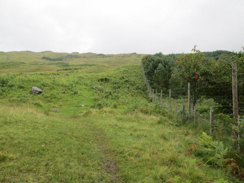
The path continues up to the top of the woodland...
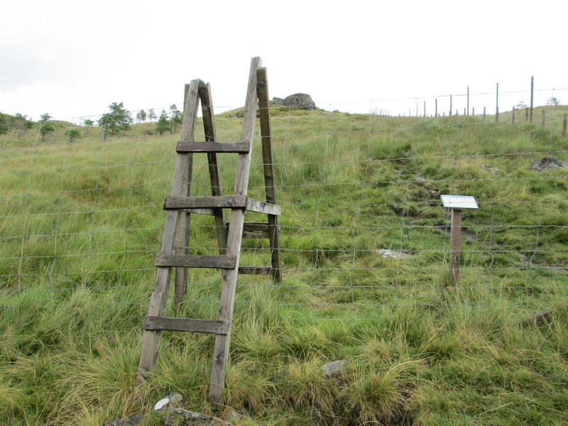
...where there is the first of two stiles. This one has no rungs on the far side but there is a gate next to it.
There's a brief respite from climbing before.....
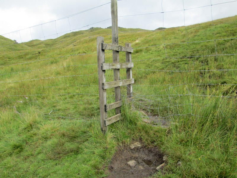
....this appalling stile is reached. Quite how walkers without long legs can cross this I don't know. The estate owners should be ashamed of constructing such as dangerous stile.
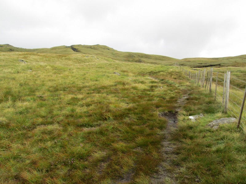
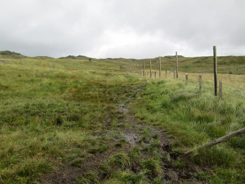
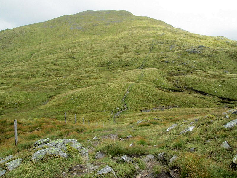
The path continues quite gently ahead....
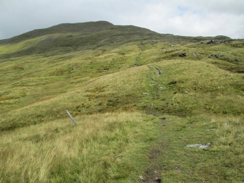
....until there is the first view of the South Top ridge ahead. In places the path is very boggy and in several places I stepped over the low sheep fence to avoid the worst sections.
Eventually the ground steepens and going underfoot becomes pleasanter.
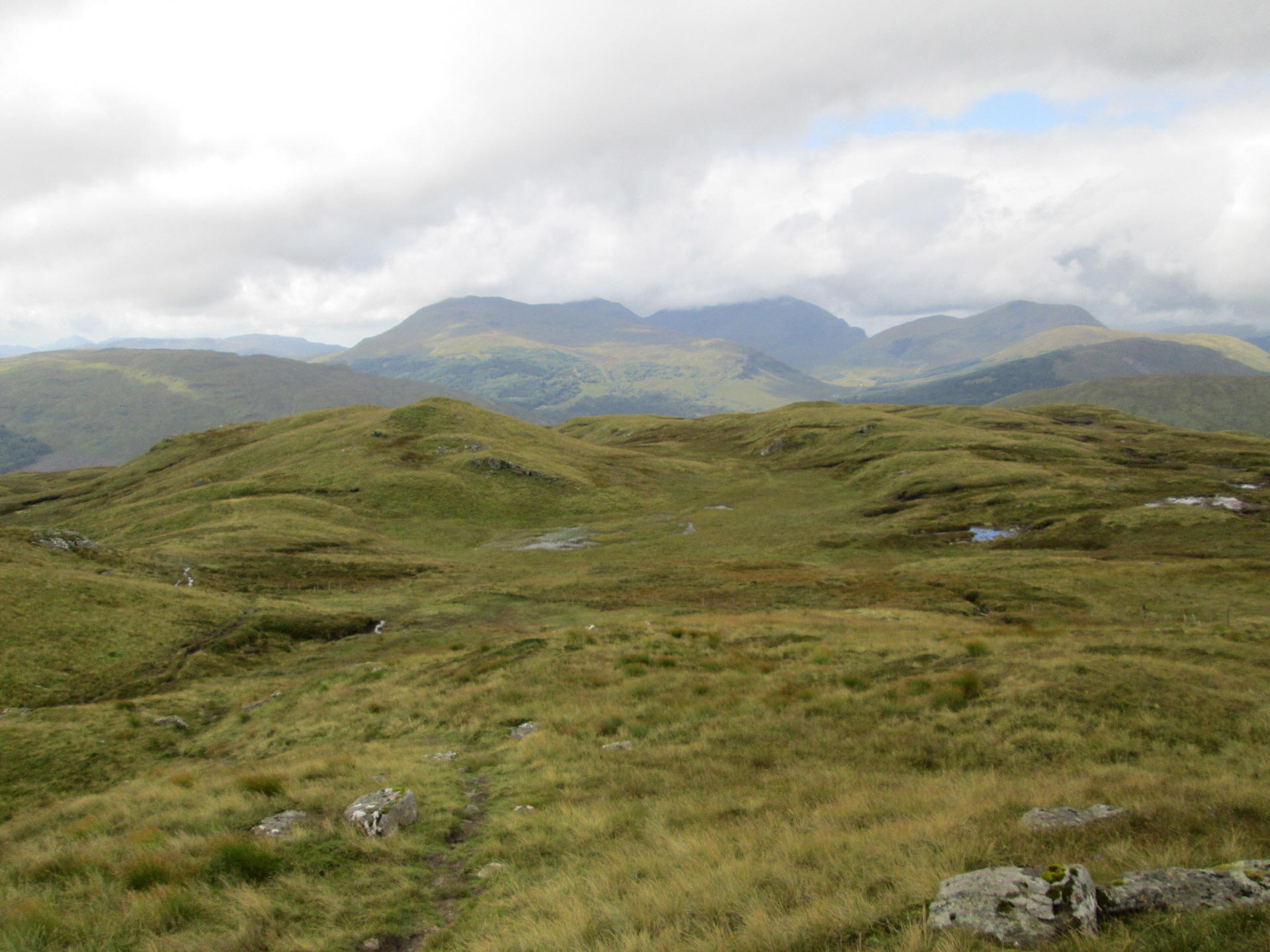
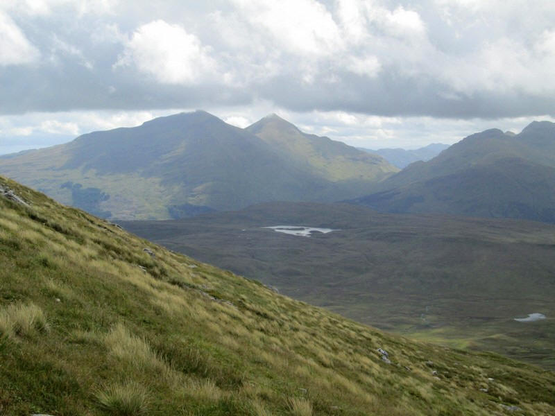
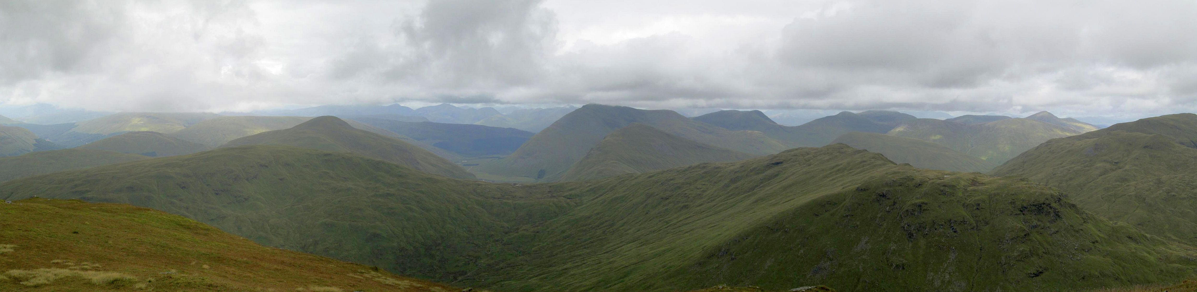
Looking back towards the Munroe of Beinn Dubhcraig, Ben Oss and Ben Lui (cloud covered) and the Corbett Beinn Chuirn. Click on photo to see a larger image.
Click on photo to see a larger image.
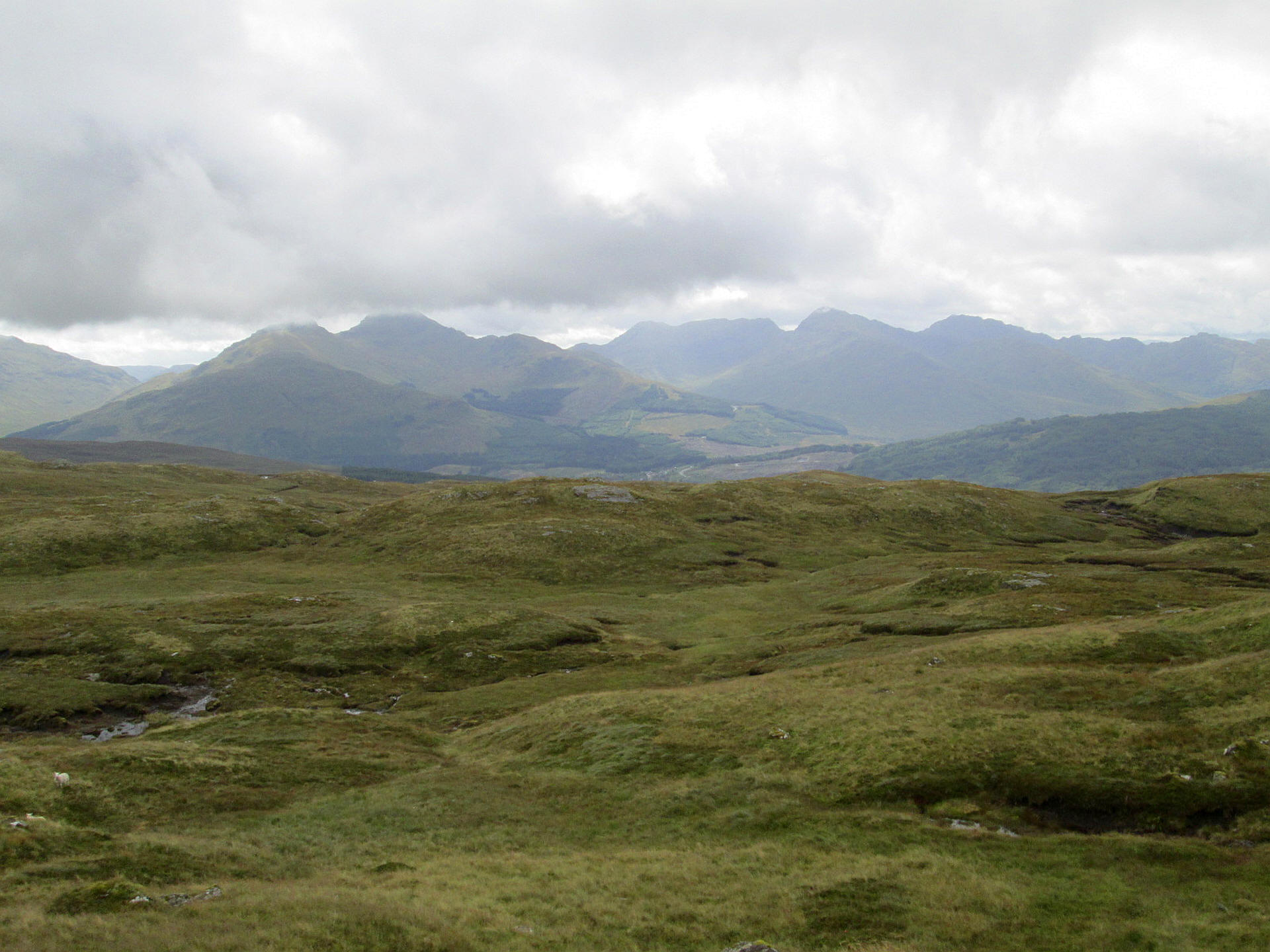
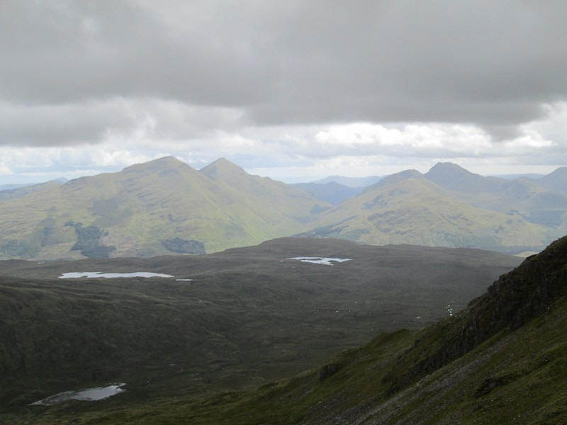
To the South the Crianlarich Hills - Stob Garbh, Cruach Ardrain, Beinn a'Chroin, An Caisteall and Ben Chabhair.
Click on photo to see a larger image.
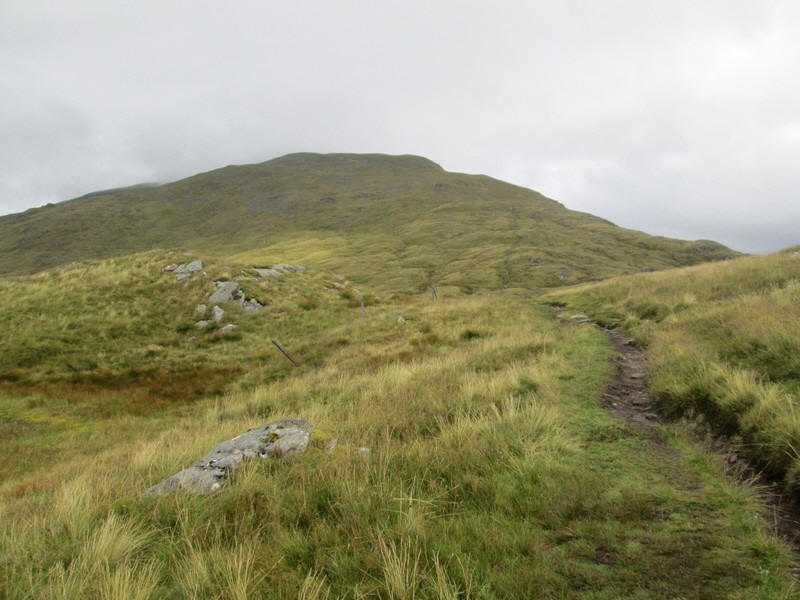
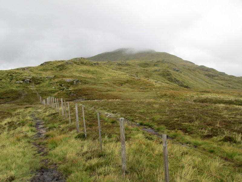
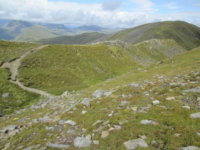
There's now a good path but...
....there is first a dip before...
....the final climb to the South Top starts.
Ben More and Stob Binnein are seen beyond Loch Maragan.
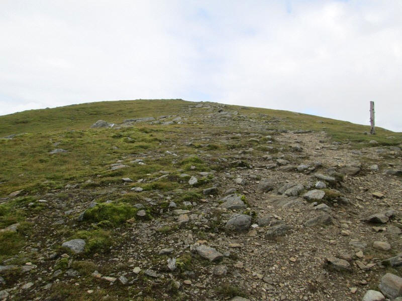
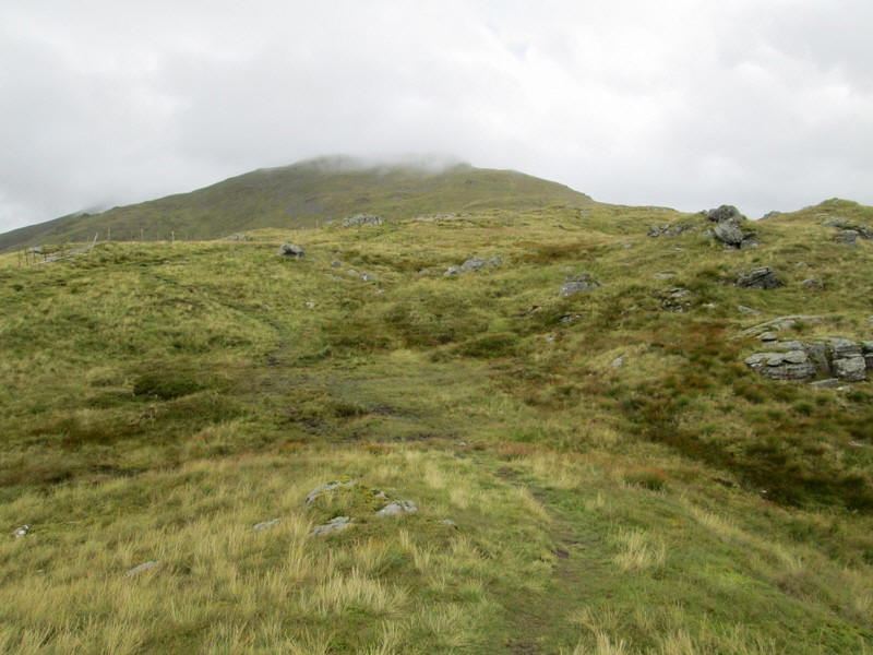
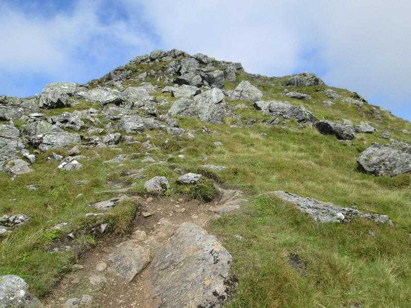
Approaching the South Top the ground becomes stonier...
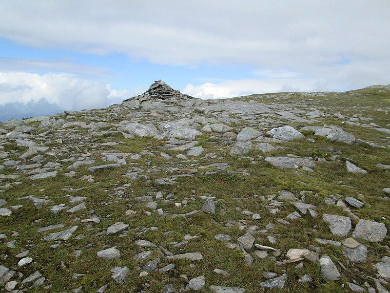
...before reaching a cairn which marks the beginning of the path downhill - no doubt useful in fog.
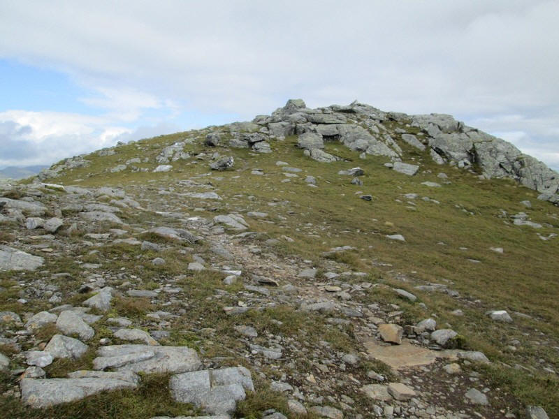
The summit of the South Top (998m) is a little further on.
There's now the first view of the summit of Ben Challum reached by path that runs over a curious "mini arête".
To the left is the steep hillside down into Glean a' Chlachain whilst to the right ...
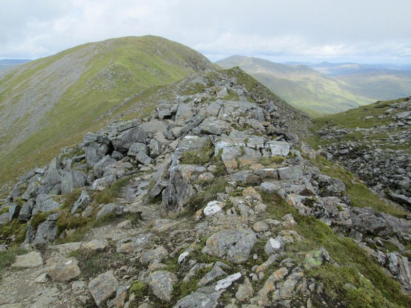
....as can be seen it is just a few metres.
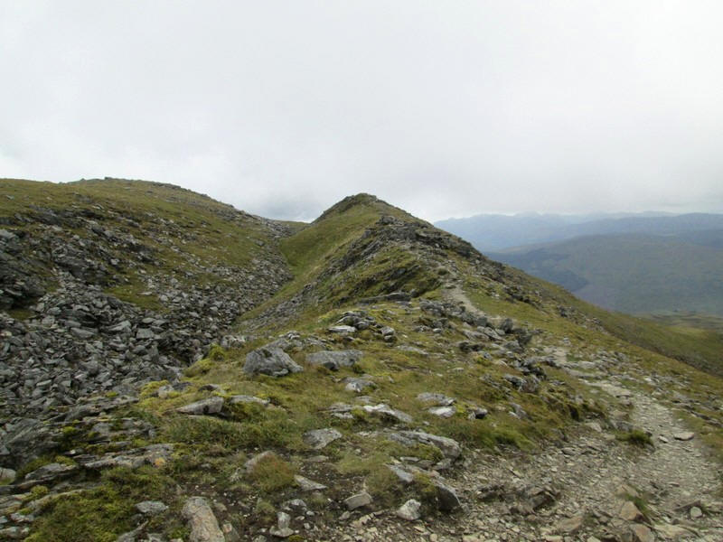
Looking back along the "arête". Why hasn't a path developed in the hollow I wonder?
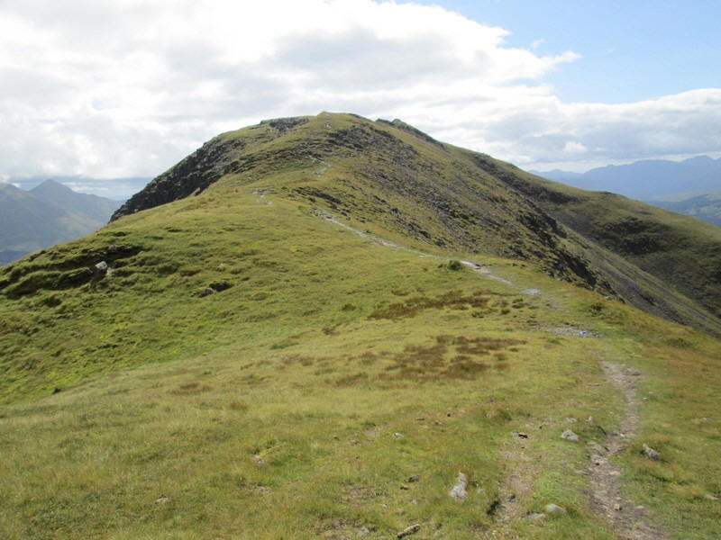
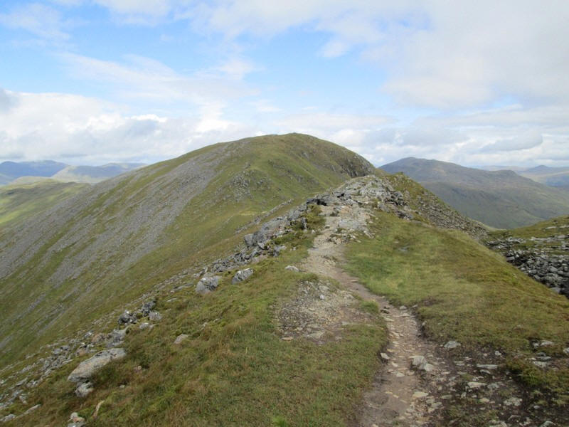
There's now a delightful stroll along the ridge...
......and up to the summit at 1025m. It had taken me exactly 3 hours from Kirkton Farm
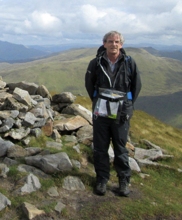
Three other walkers were on the summit and kindly took my photo on my 190th Munro.
There are two more Munros that I have almost reached the summit of before but have been beaten by the weather conditions - will I go back and have another try for Ben Sgulaird and Spidean Mialach?
Looking South East Ben More, Stob Binnein and Cruach Ardrain
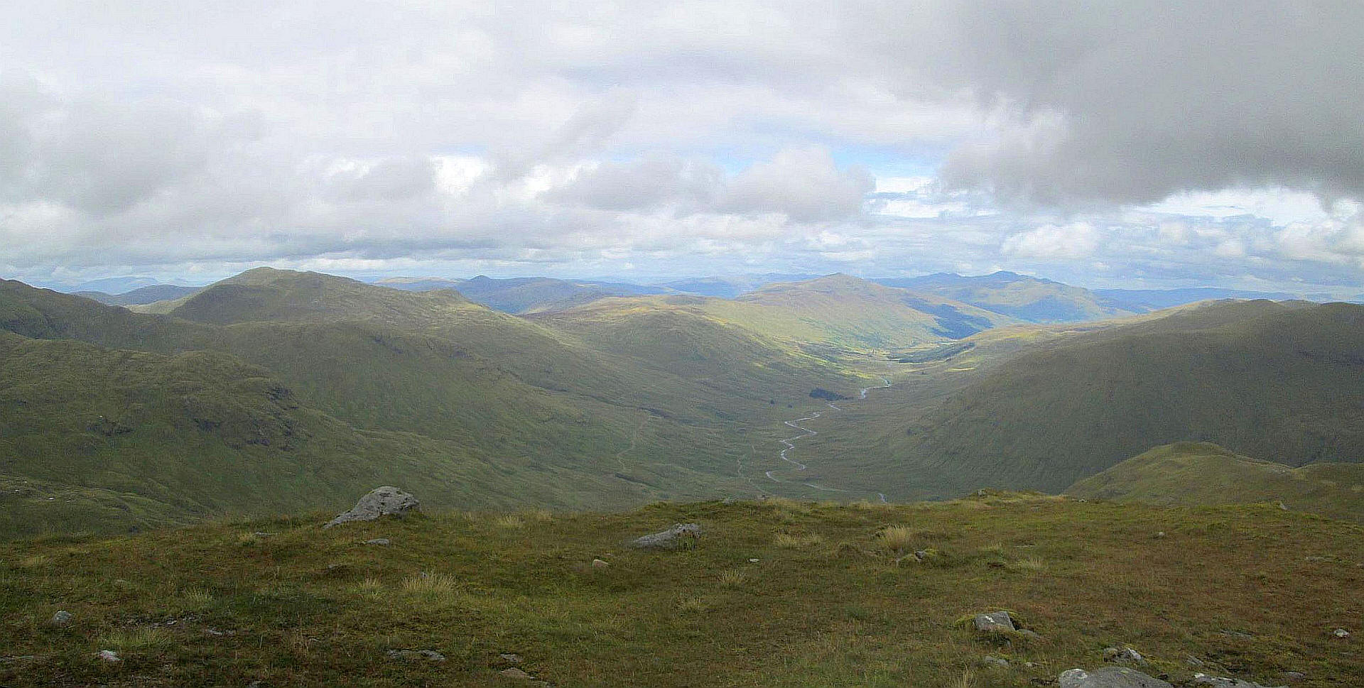
Looking East down Glen Lochay with Beinn Heasgarnaich on the left, the pointed hill just right of centre is Meall Ghaordaidh whilst in the far distance some of the hills in the Cairngorms can just be seen.
Click on photo to see a larger image.
Looking North West the Bridge of Orchy Munros of Ben Dorain, Beinn an Dothaidh and Beinn Achaladair can be seen.
Click on photo to see a larger image.
I left the summit at 1400 and took three hours to return to Kirkton Farm - almost the same as the climb 1700