Ben Chonzie
The marked points on the map above are those recorded by my SPOT personal GPS messenger unit.
I'd planned to climb Ben Chonzie in March 2010 but a combination of factors conspired against me. Firstly, I managed to get a trapped nerve and as as result problems in my right hand. Then the railwaymen threatened to go on strike and, finally, it snowed again quite heavily. I cancelled the weekend.
Fast forward to the May Day Bank Holiday Sunday and I left Perth on the first bus of the day to Crieff (return fare an amazingly cheap £3.20). The driver agreed to drop me off at the cross roads at Dalvreck where there is a signpost to the Old Grouse distillery. I left Dalvreck at 10.40.
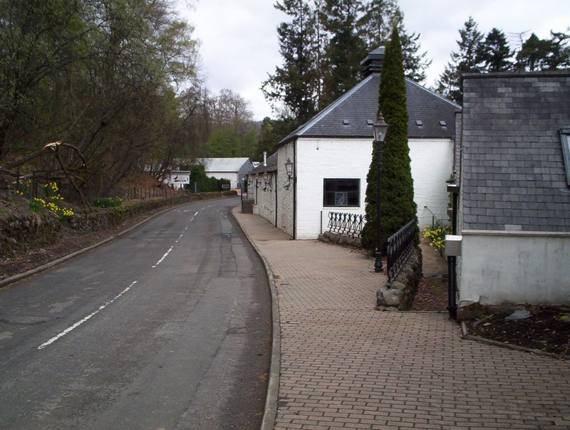
Supposedly, the oldest distillery in Scotland - there's an enormous steel grouse in the car park.
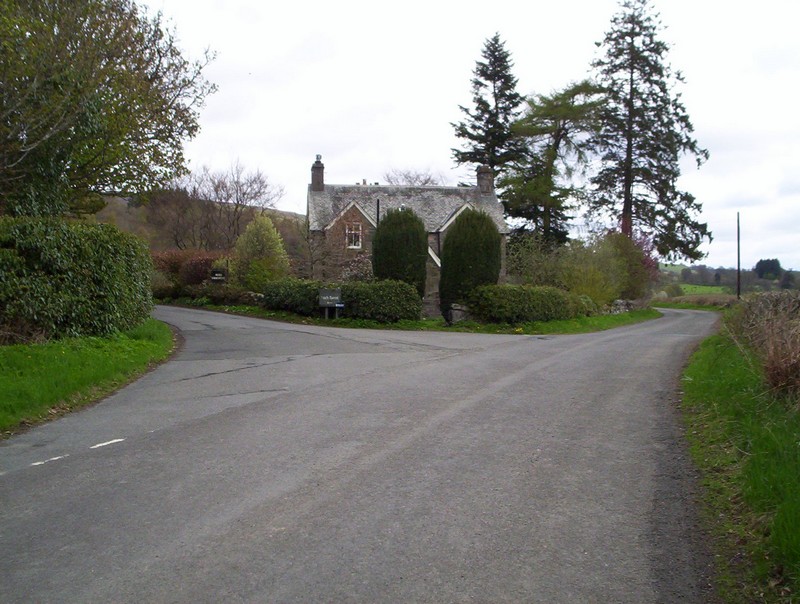
After walking through the hamlet of Hosh the road up to the Glen Turret dam is signposted here.
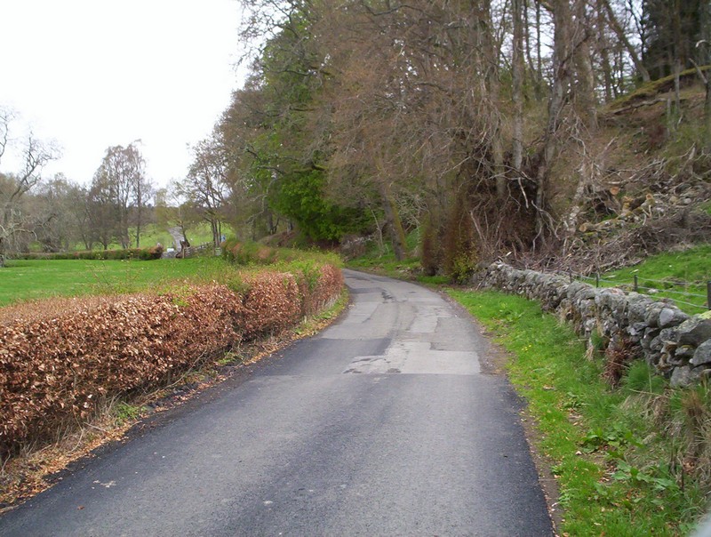
Initially, through fields the lane.....

......soon begins to climb past a small HEP plant and onto the hillside, giving expansive views to the south.

After passing a new water treatment plant the dam (and in the distance Ben Chonzie) comes into view. There seems to be a large number of Highland cattle here but they gave me no trouble other than a few baleful looks.
Click on the image above to show the panorma from the dam. Ben Chonzie is the high hill in the distance just to the left of the snow patch.
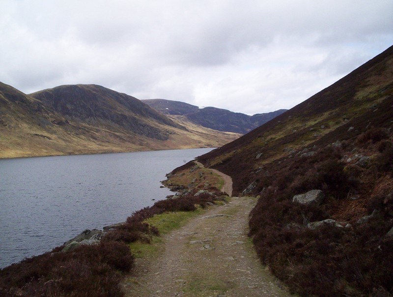
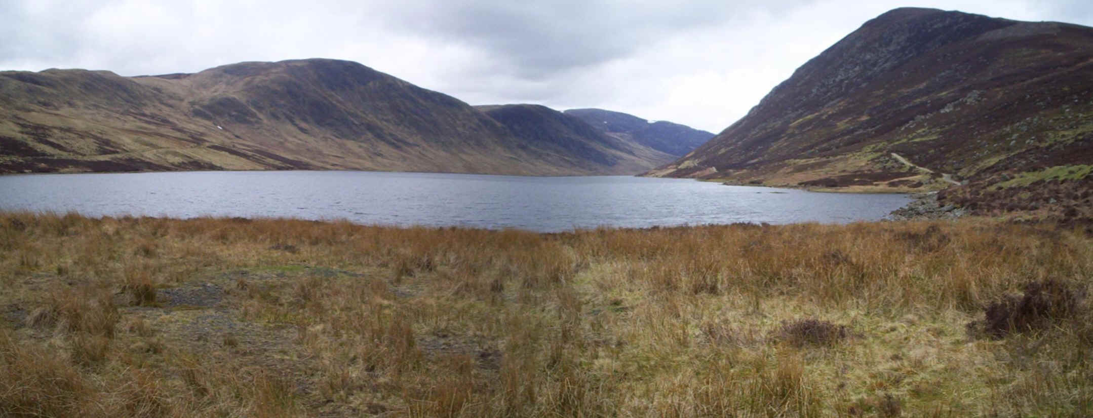
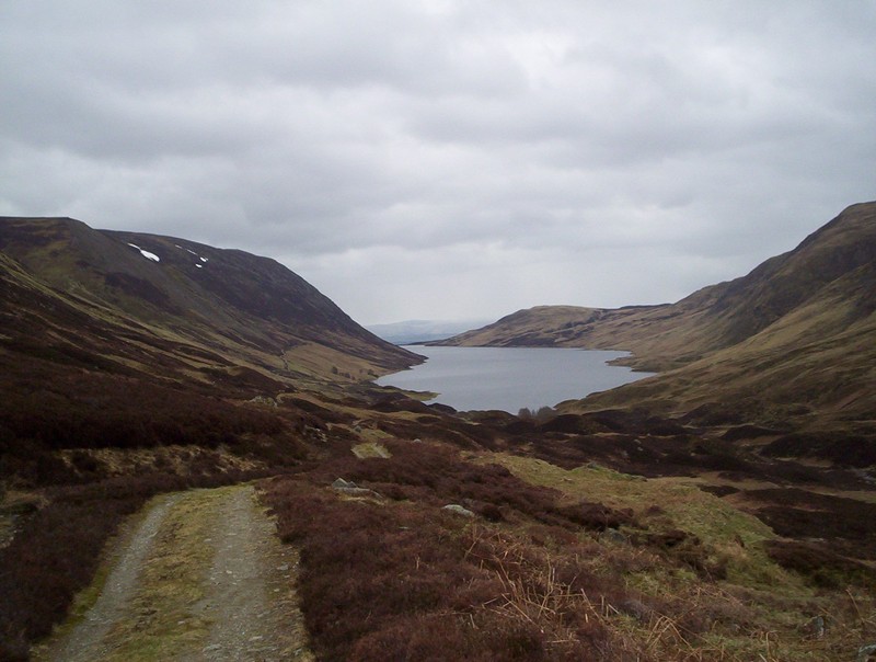
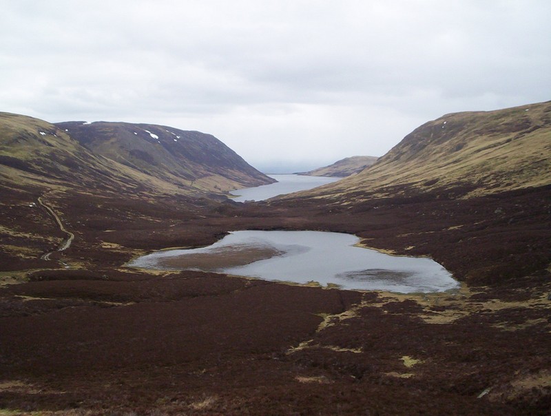
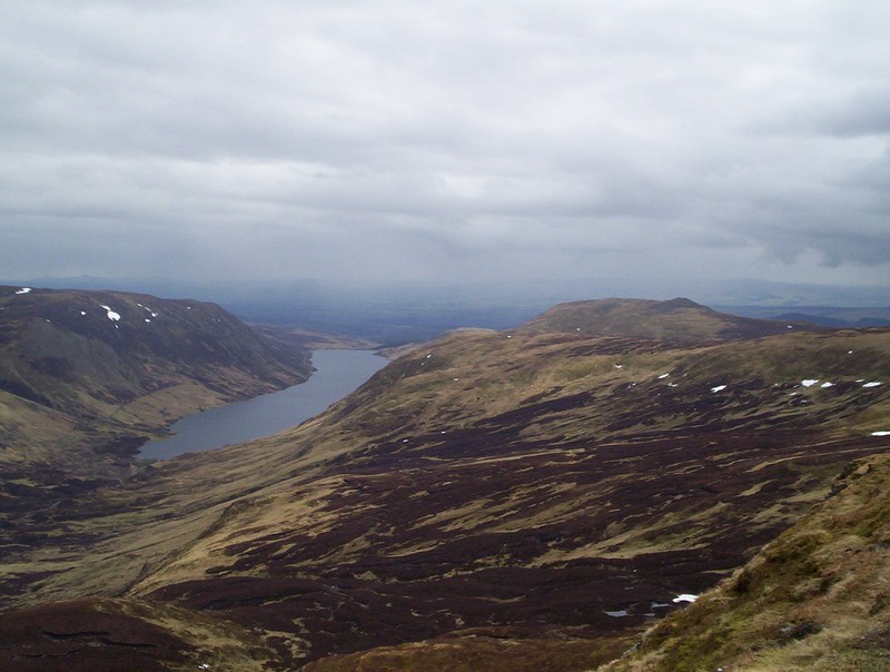
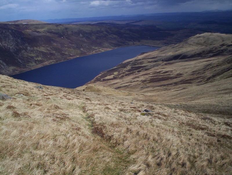
Beyon the dam there's a broad track that follows the reservoir - it's a delightful walk and with the track rising and falling unlike the usual boring reservoir-side tracks. With the reservoir full the whole of Glen Turret looks quite natural and spectacular.
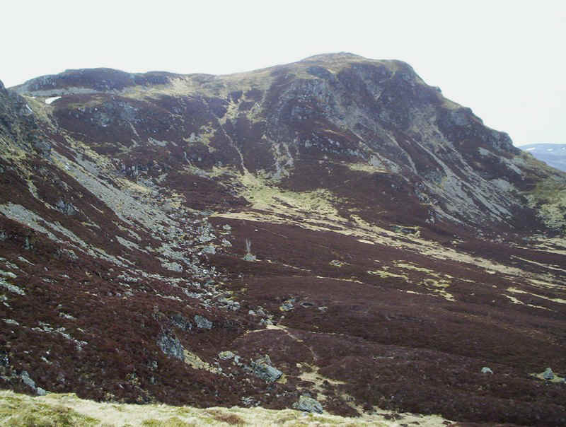
As the end of the reservoir is reached the track climbs tp reach another track that comes down the hill from the right. Ben Chonzie is clearly seen. The guide books suggest a route up to the notch on the skyline in the centre of the photo. However, I ended up taking a different route and reached the ridge by climbing to the left of the large patch of snow seen just over the end of the lake.
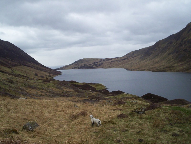
Looking back down the glen with a lamb that came running up to me and bleating; clearly it had lost its mother.
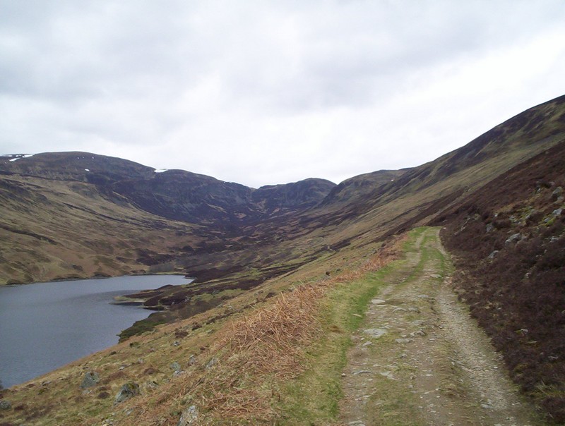
Beyond the end of the lake the track climbs up into the corrie.....
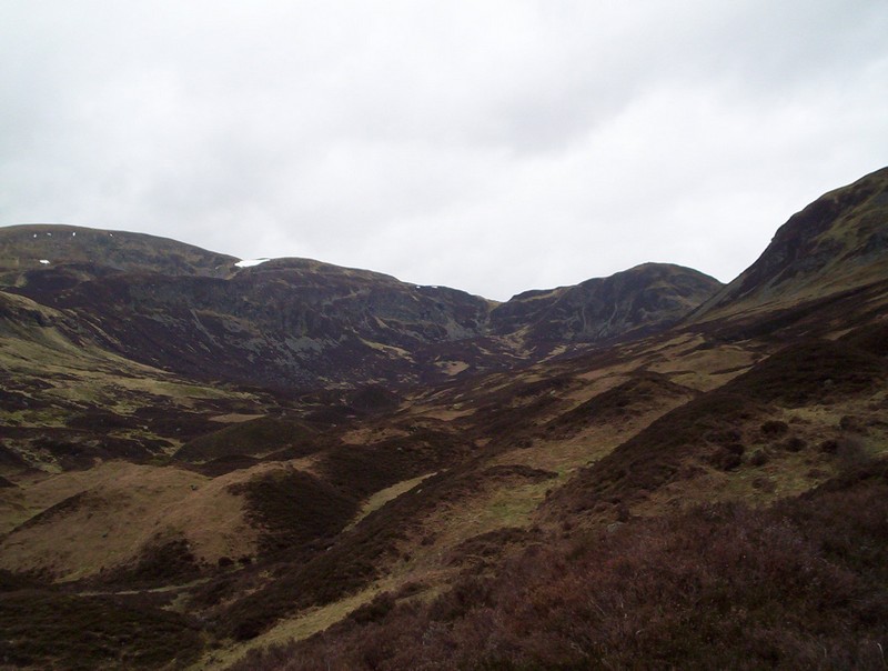
......with a superb collection of drumlins to be seen to the left.
Another view looking back down the classic glacial valley of Glen Turret.
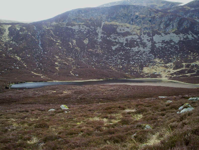
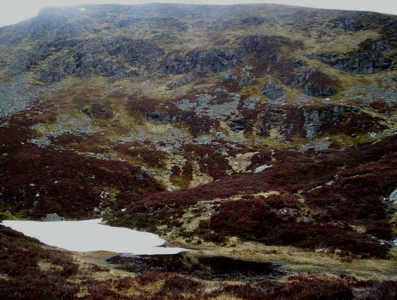
In the corrie there's a small natural lochan.
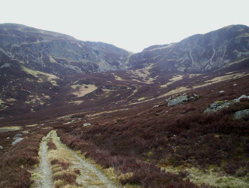
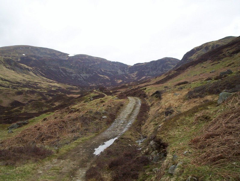
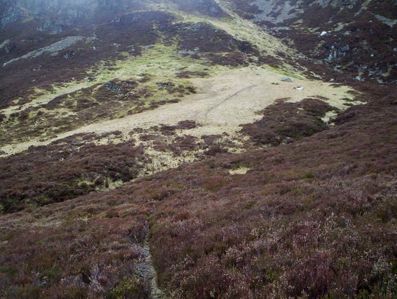
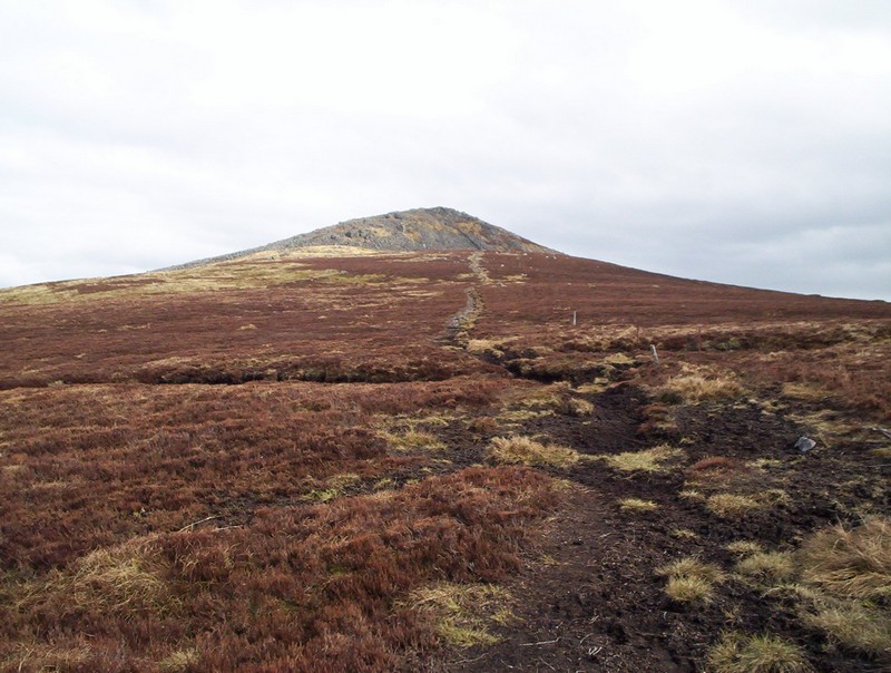
Approaching the end of the track the recommended roue up to the notch can be seen....
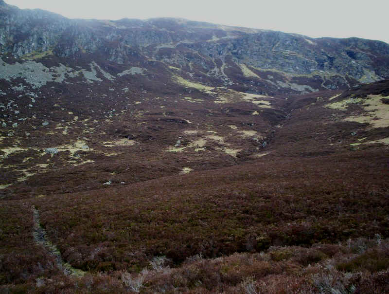
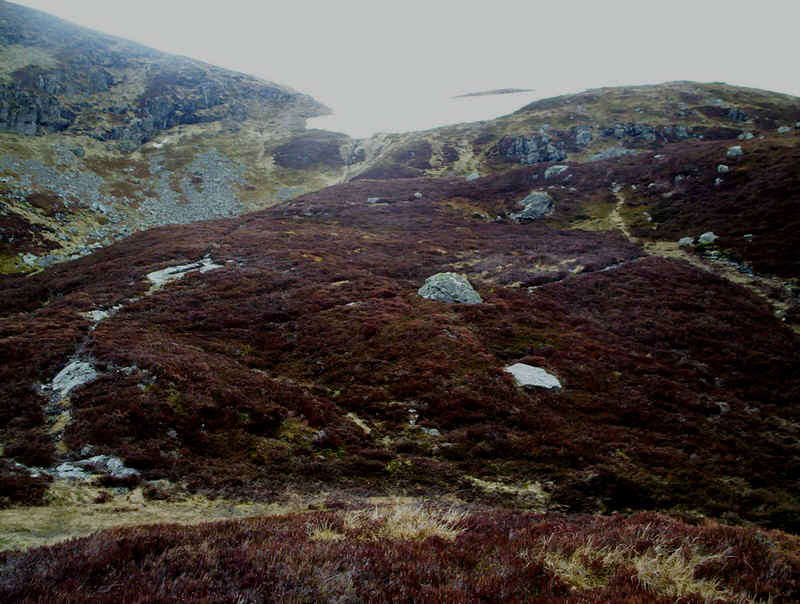
.....but then I notice this track through the heather and mistakenly think this must be the way.
Inevitably, the track disappears and I'm left floundering about in the heather but decide to continue uphill in the direction I should be going towards that notch in the hope of finding another track. Looking back down the glen I'm rewarded with this view.
And then I see a track on the hillside and make for it; here I'm standing at NN78206 31238. The track leads uphill besides a burn, clearly not making for the notch but heading for the summit nevertheless.
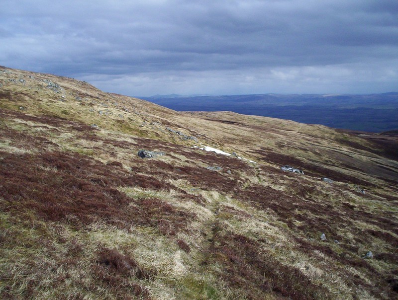
Looking back downhill it looks as though there could be an easier way up the grass beyond the heather. Nevertheless the way I'm heading appears to have no crags to negotiate.......
.......and I'm soon at the top of the burn with the summit in view.
From this point there's quite a clear path up to the ridge but then it disappears under that large patch of snow and I have to detour round it on the steep grass hillside......
......to reach the ridge at NN77664 31189.
There's a fairly obvious track on the ridge. This is looking back downhill.
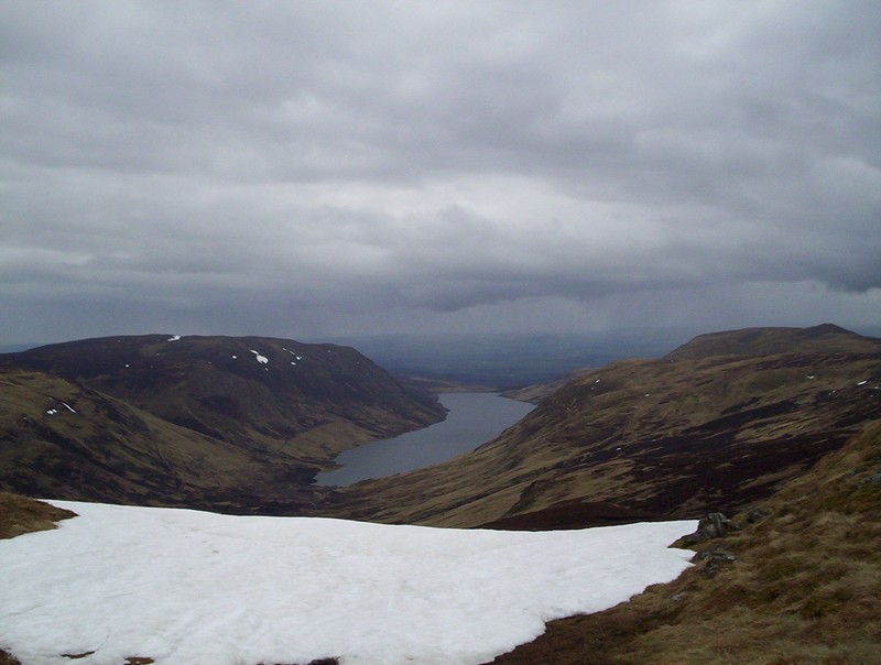
Glen Turret again.
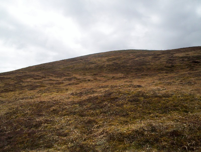
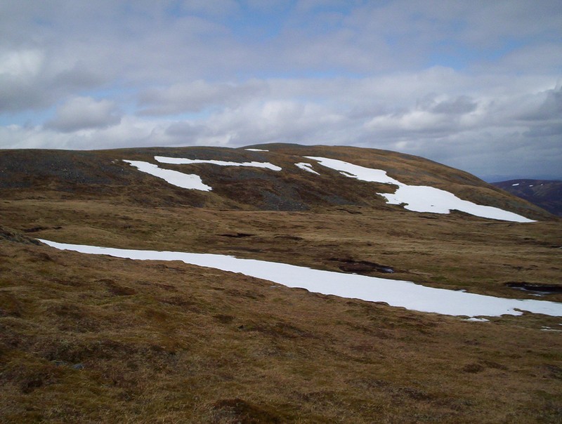
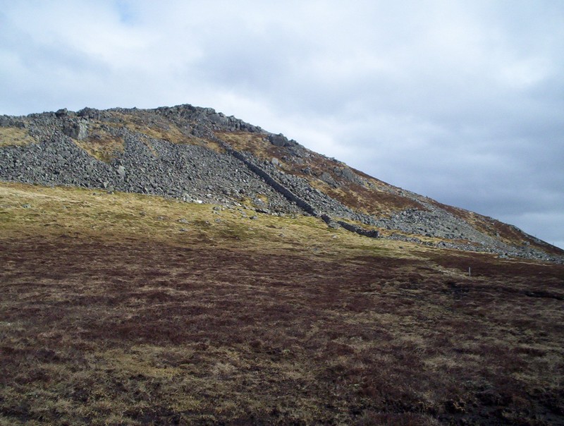
The summit of Ben Chonzie is a grassy dome...
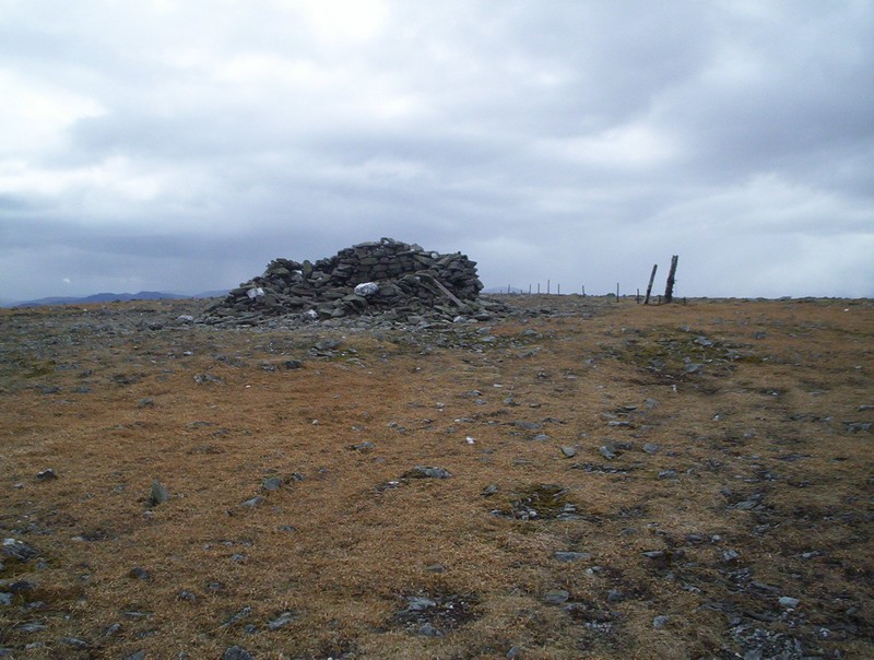
.....leading to this stone shelter. It's now obvious why most people consider this hill to be boring. Maybe it is if approached from the more traditional Glen Lednock side but there's plenty of interest for the walker on the approach I took. It took just over four hours for me to reach the summit from getting off the bus.
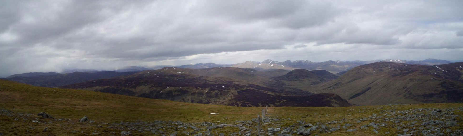
Whilst conditions weren't quite as favourable as I'd have liked views were good with the Lawers and Glen Lyon hills visible towards the North-West. Click on the photo for a larger image.
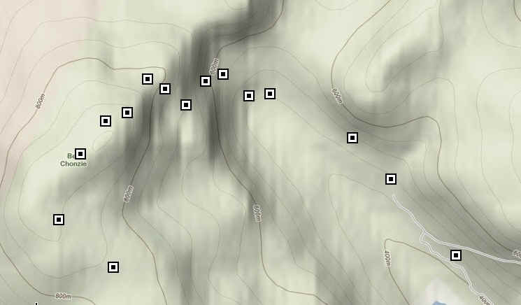
The map shows the route I took up from the glen to the summit. It's taken from Google maps using the coordinates from my SPOT GPS messenger.
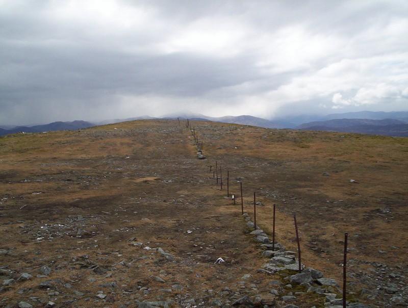
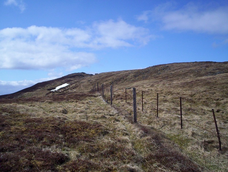
Beyond the summit the return route to the dam follows the remnants of a boundary fence for several miles, initially South West and then turning to head broadly to the South East.
Looking back towards the summit - from here it's easy to see where the "boring Munro" reputation comes from.
The track drops to a dip...
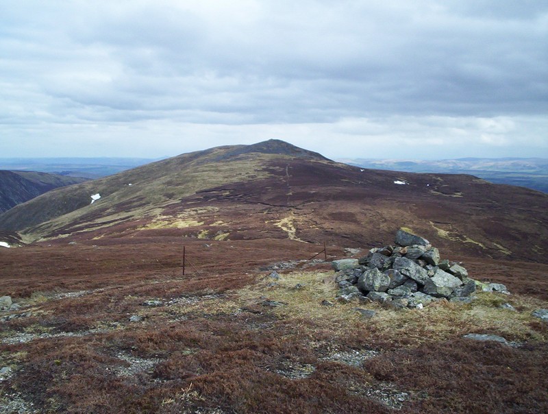
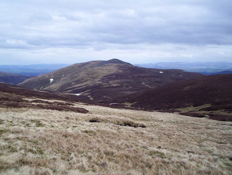
...before rising to a cairn at point 757m. In the distance can be seen the summit of Carn Chois towards which the path heads. Just beyond here the track divides with the Glen lednock approach heading off to the South West.

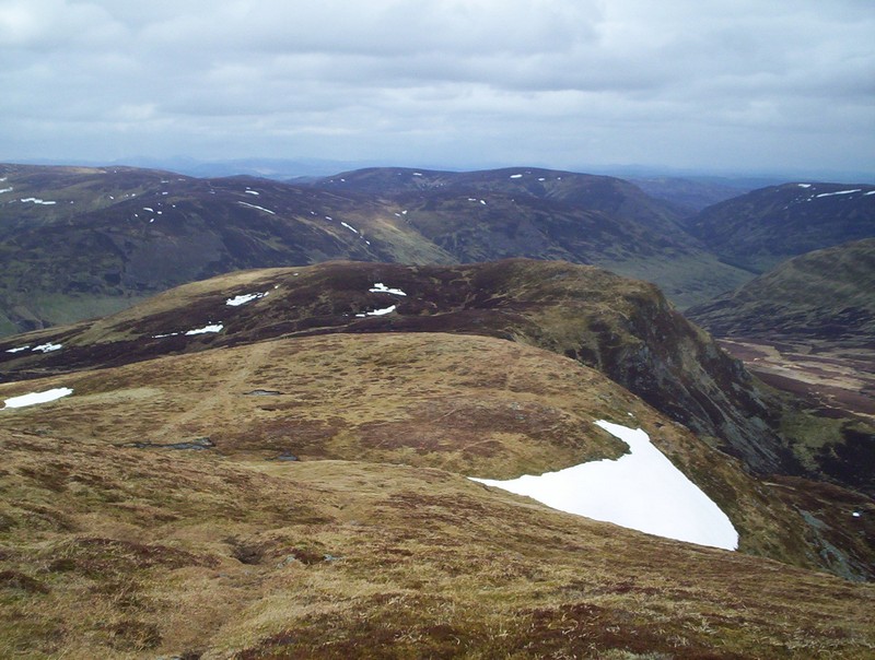
The visibility had improved and the hills to be seen include Ben Vorlich and Stuc a' Chroin, Ben More and the Crianlarich hills.
There's quite a long section across peat, which I imagine will be pretty unpleasant in really wet conditions as the track heads for Carn Chois.
Rather than climb to the summit of Carn Chois I traversed around its base following.....
...a faint path as I'd had enough climbing for one day.
The fence reappears....

...and the track follows it downhill...
.......and then heads straight down the hillside to reach....

......the lochside track.
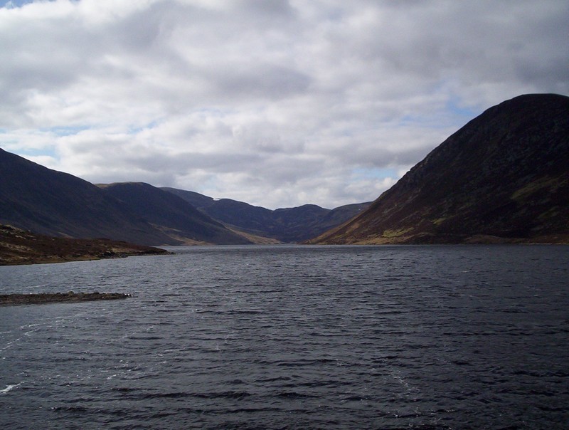
A final look back up the Loch towards Ben Chonzie. The return walk from the summit to the centre of Crieff took about three hours. For those worried about road walking the lanes have very little traffic on them, whilst the main road into Crieff as a sidewalk the entire way.