Ben Cruachan and Stob Diamh
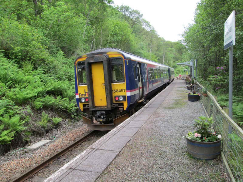
I did this walk, the 'Cruachan Horseshoe' in June 2014. Arriving at Falls of Cruachan station at 09:28 from Oban I had various plans for the day. I'd either climb Ben Cruachan alone and then walk on the hydro road to get the train back from Loch Awe, where more trains stop, or, if I climbed both Ben Cruachan and Stob Diamh ,I'd catch either the 19:09 or the 20:50 train back to Oban from Falls of Cruachan.
A lot would depend on the weather and how I felt about cross the notorious 'bad step' over the slabs on the ridge between the two Munros.
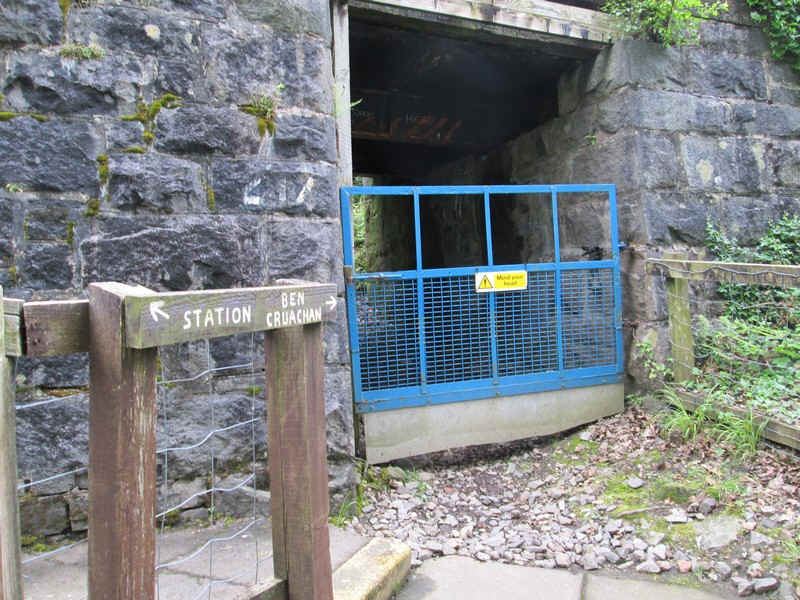
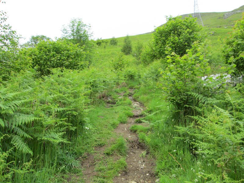
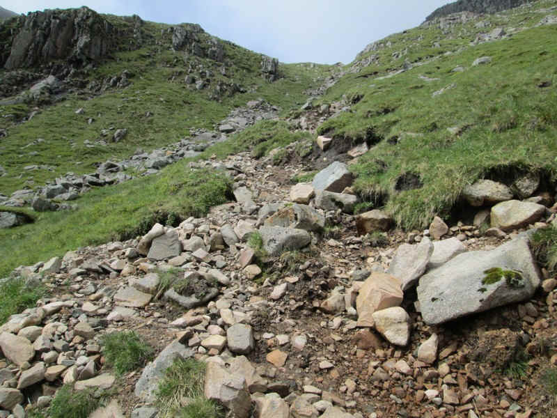
There is no doubt which is the way to the hill and once under the railway...
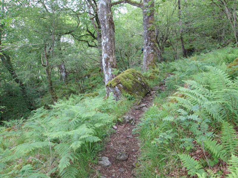
...a very clear but rough path climbs steeply..
...through the trees above the railway.
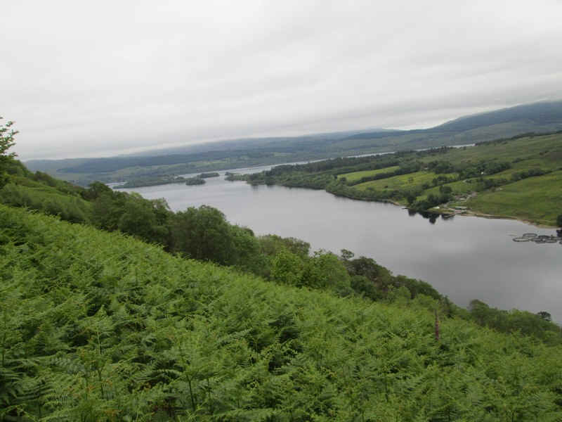
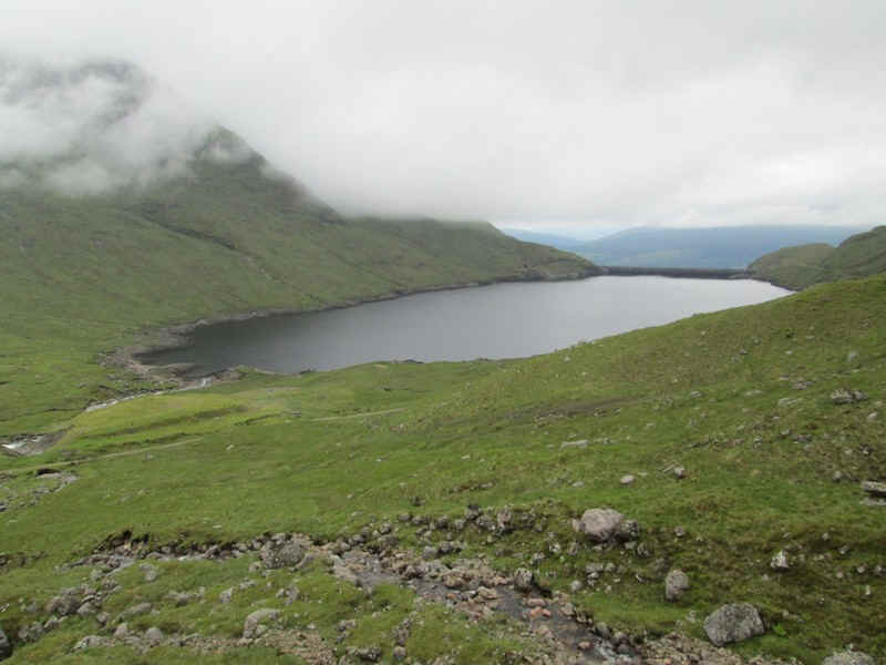
Once up the hillside tremendous views open up down onto Loch Awe. It is the longest freshwater loch in Scotland, although only the third largest.
The path's gradient eventually eases...
....and a look back revealed this superb reflection on the loch

There is a very precarious stile over the deer fence - probably the most dangerous part of the climb to Ben Cruachan: about eight feet up and sloping to one side!!

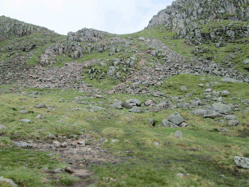
The path climbs towards the lip of the corrie...
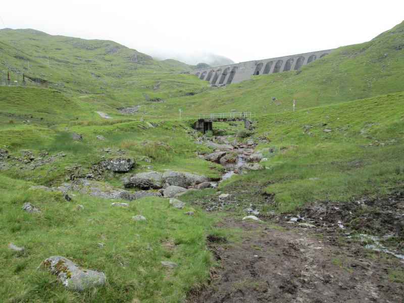
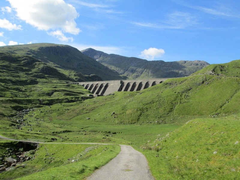
...and soon the enormous dam of the Cruachan hydro electric power station comes into view.
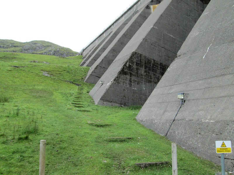
The size of the dam, built in the 1960s, is awe-inspiring. The path to the hill climbs up by the buttresses...
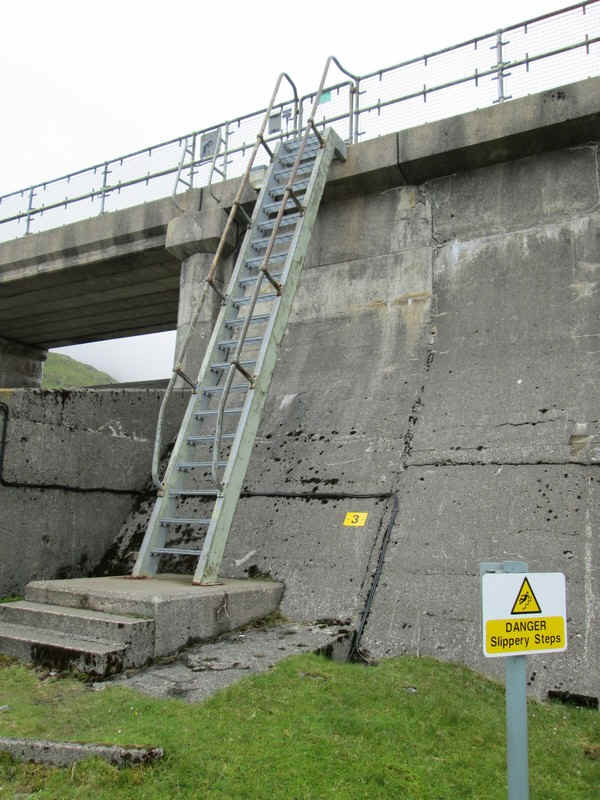
...and then goes straight up this ladder and onto the dam itself.
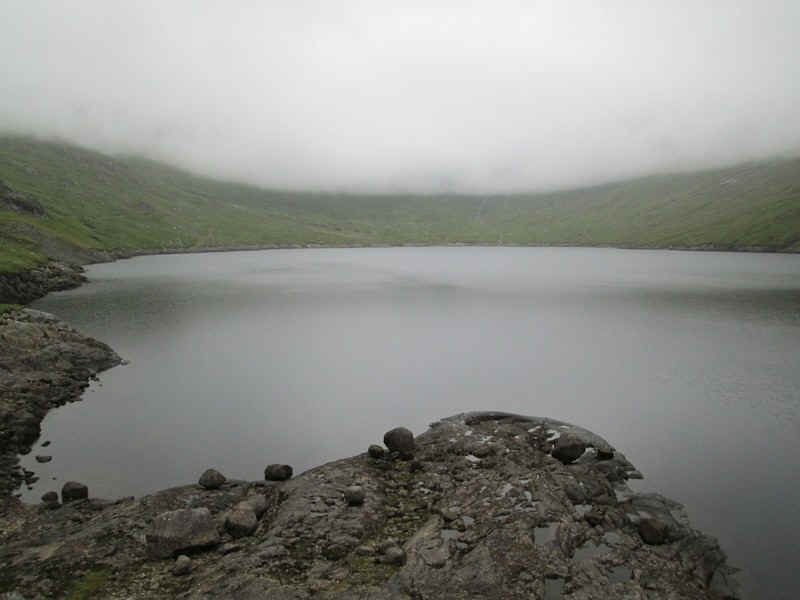
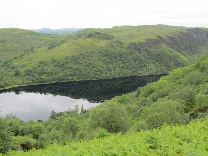
At the beginning of the day the weather wasn't particularly inspiring with low cloud, but the forecast was for steadily improving conditions so this dreary view across the reservoir wasn't too worrying.
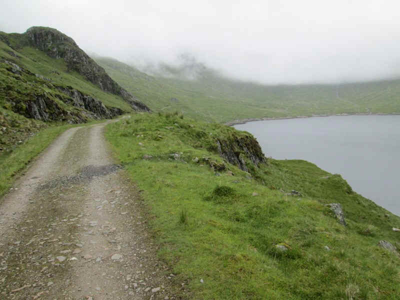
For the first part of the walk I had the pleasure of some company, a man from East Lothian, so we put the world (and especially Scotland) to rights as we made good time along the hydro road...
...to the second cairn near the head of the reservoir where we took to the hill path.
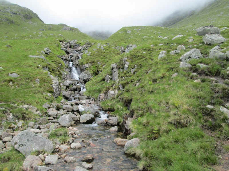
This climbs up into Coire Dearg by a stream passing several waterfalls.
Looking back to the reservoir the sky was beginning to lighten.

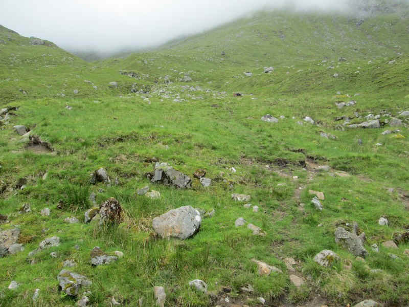
Once away from the slightly boggy sections lower down the path becomes very clear..
...as it heads steadily..
...up to the slightly steeper section near the corrie headwall.
Another glance backwards shows the cloud lifting.
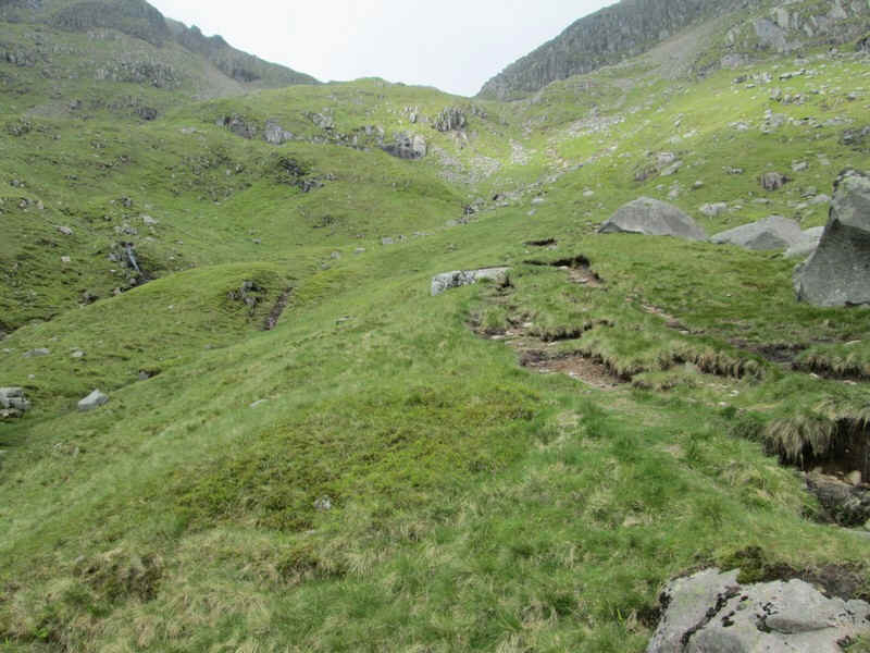
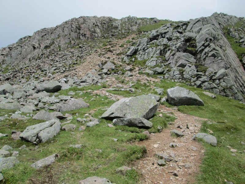
The path zigzags up to...
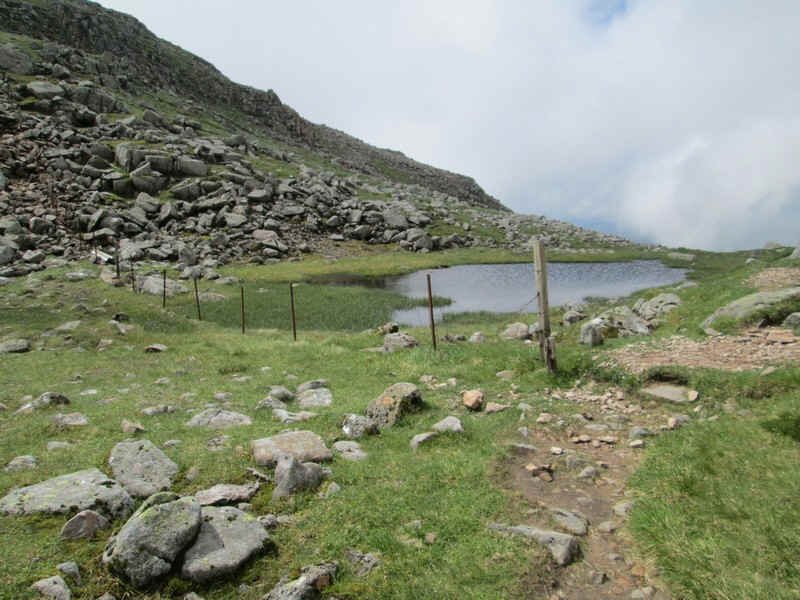
...the Bealach an Lochain with its tiny pool.
The final climb to Ben Cruachan goes off to the north whilst...
....to the south of the bealach is Meall Cuanail.
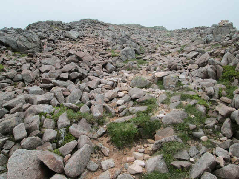
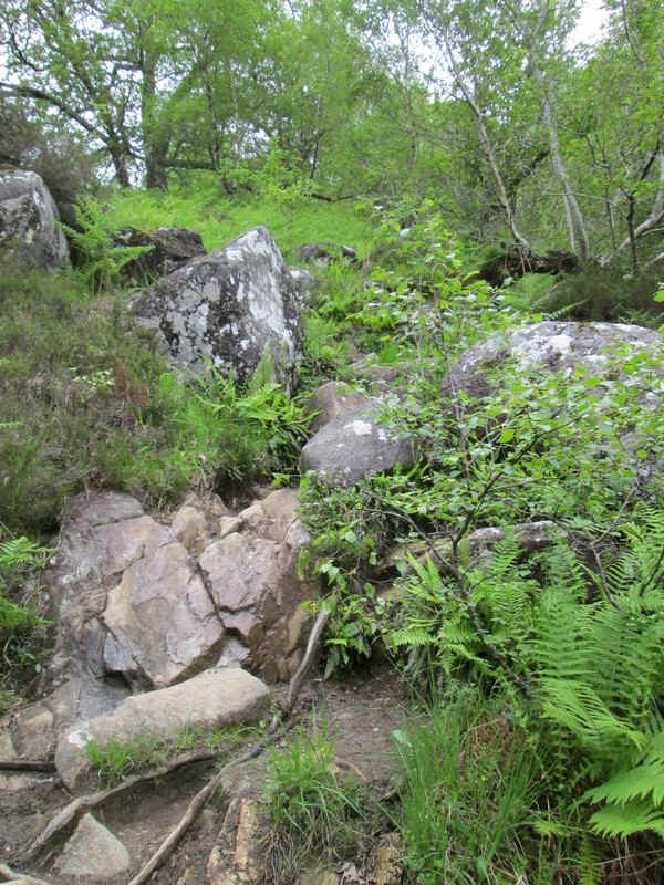
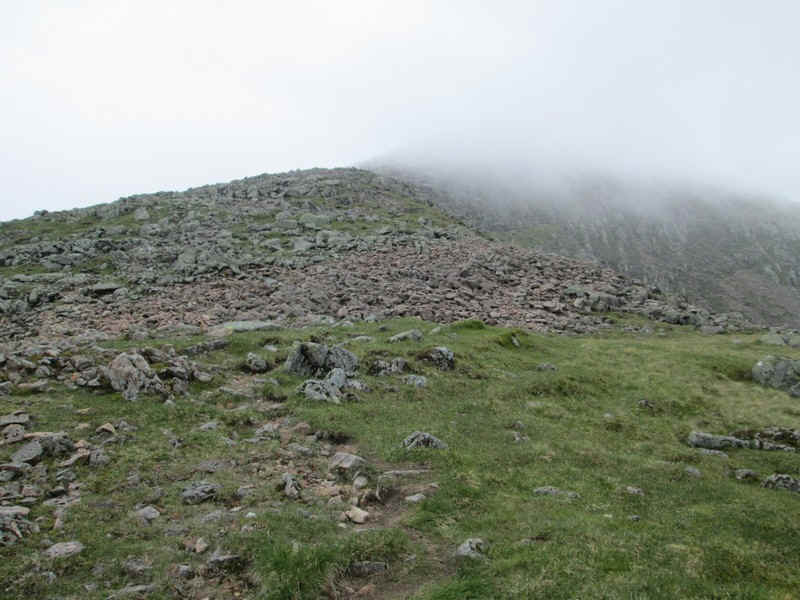
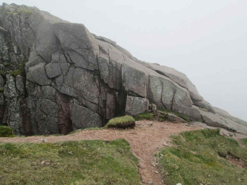
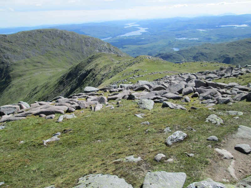
Much of the climb to Ben Cruachan is over boulders although for most of the way there is a clear track.
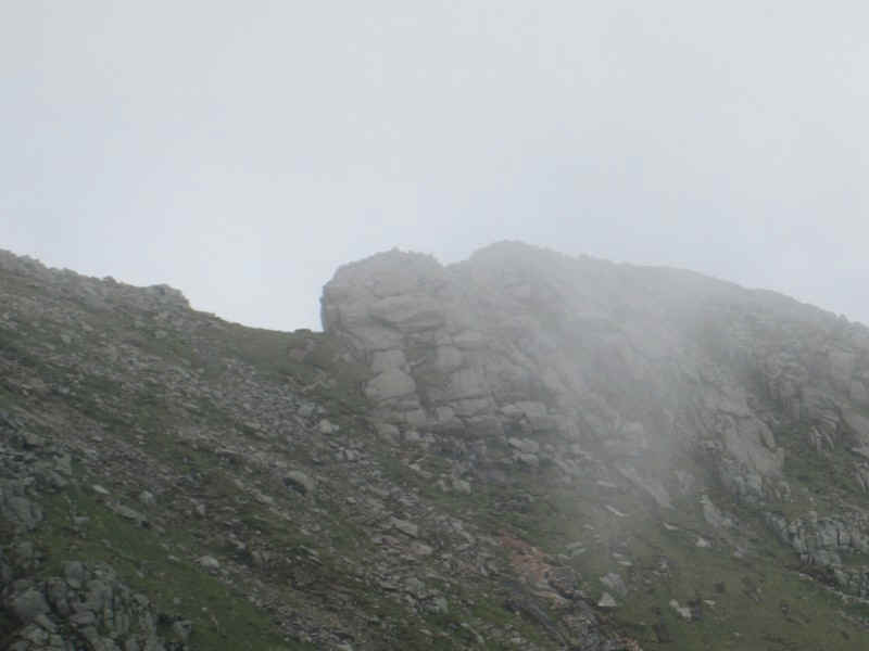
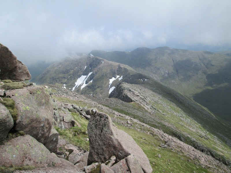
The mist cleared slightly to give me a view of the slabs on the ridge. It's immediately obvious that there is a bypass path below the rocks so if I didn't feel like cross them there was an alternative.
The summit is tantalisingly covered in cloud..
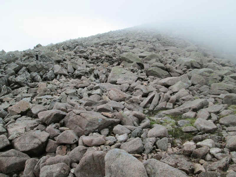
...and there are more boulders to cross.
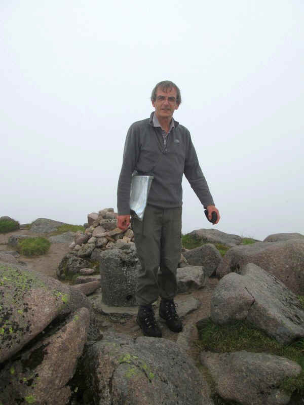
I don't usually like summit photos but this one was a bit special.
Ben Cruachan (1126m) was my 141st Munro so I've finally achieved the half way point. After failing to reach Beinnn Sgulaird the day before I was actually rather pleased that it was Ben Cruachan that did me the honour! It took me three and a half hours from the station to get to the summit.
Thanks to the walkers from Wick who insisted, " Have a wee dram of whisky to celebrate."
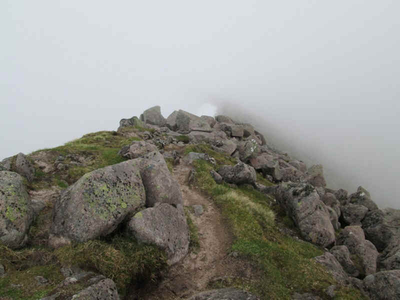
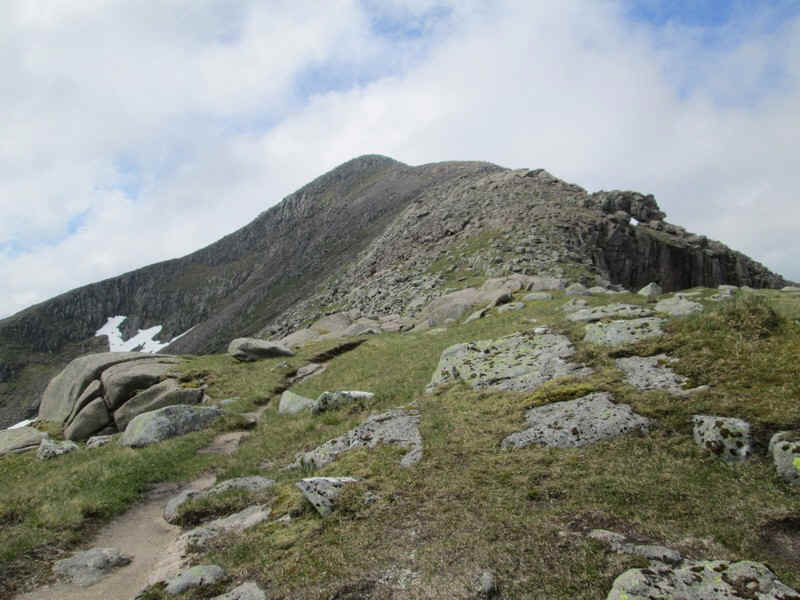
The mist was still swirling around as I headed off along the ridge to Stob Diamh...
...but in one of those magical moments it cleared and the hills were in bright sunlight.
There were three walkers ahead of me and I stopped to watch them cross the slabs, which they did with no difficulty.
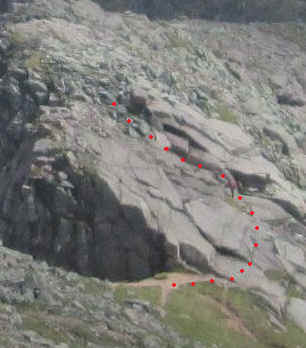
The route they took (and also the one I took) is shown by the red dots. But I'm jumping ahead of myself so back to the route in detail.
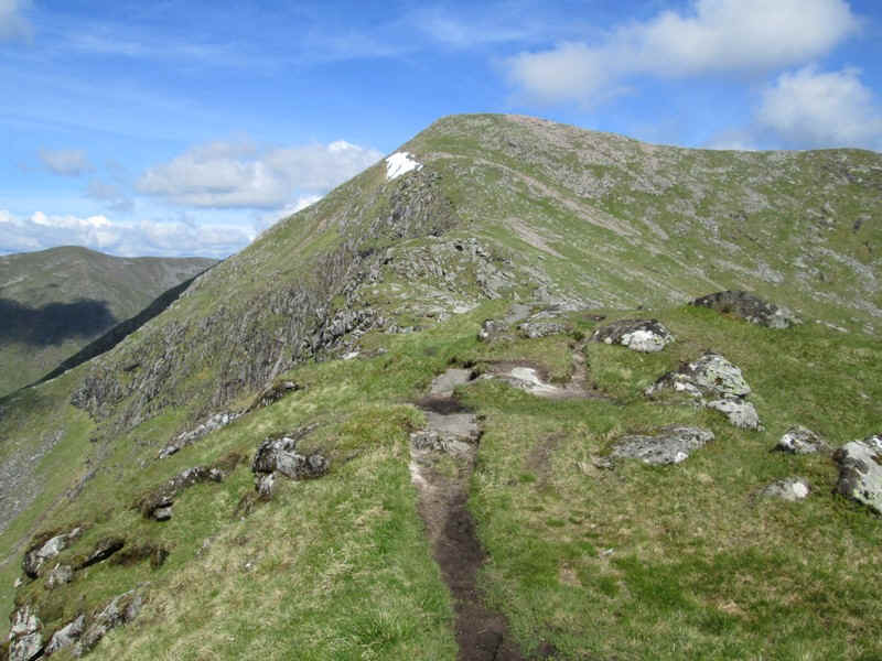
The path along the ridge is a delight and is clear and with plenty of interest.
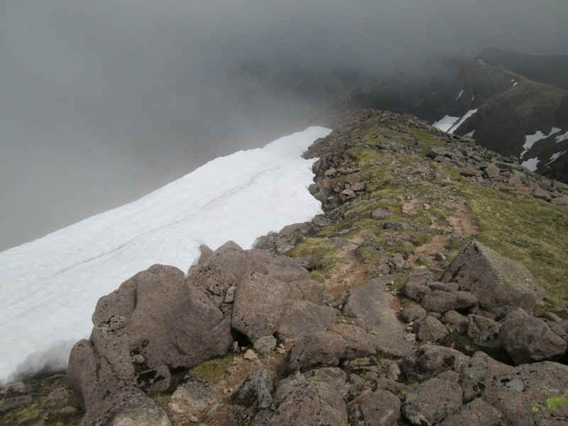
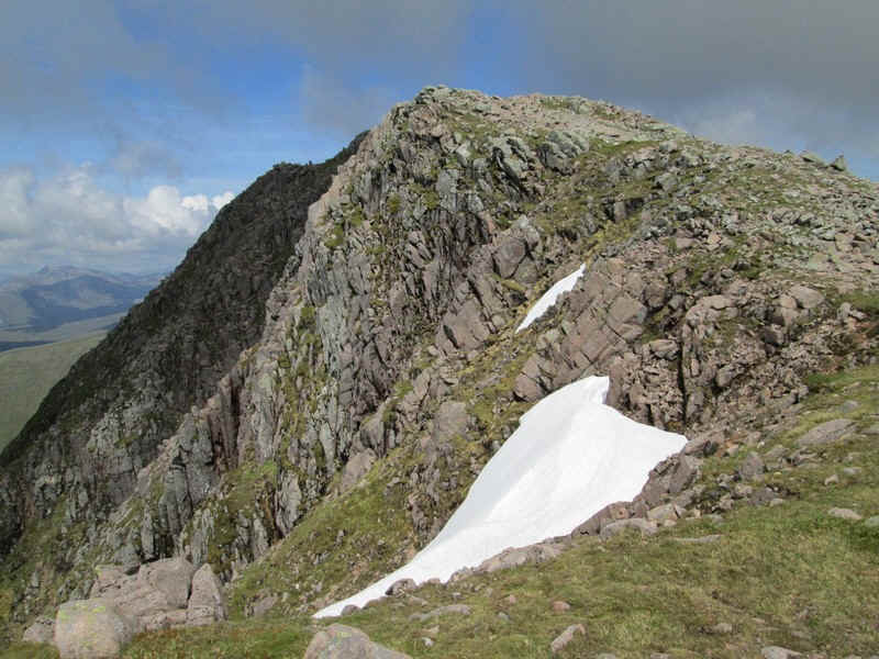
Even in the first week of June there were several large cornices of snow.
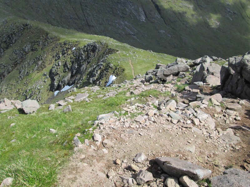
There are sections of boulders to cross on the way down to the slabs.
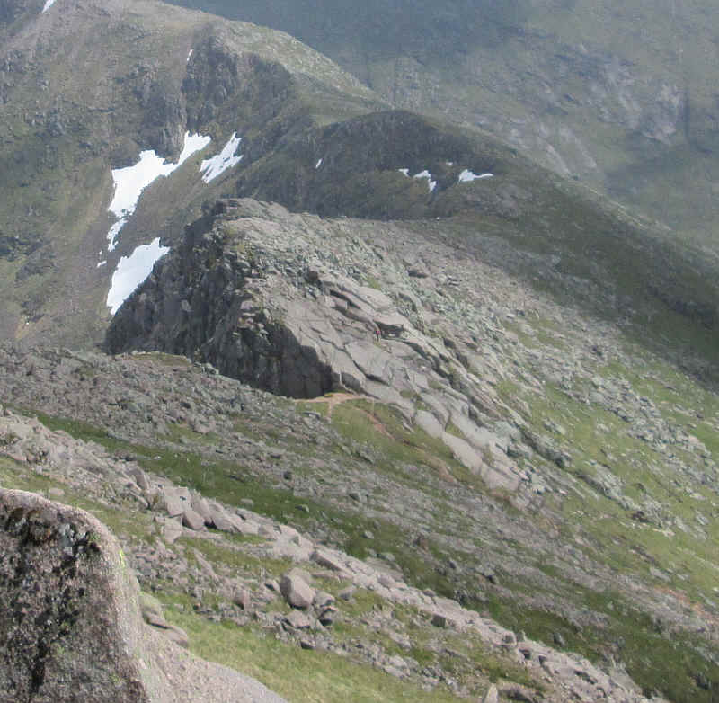
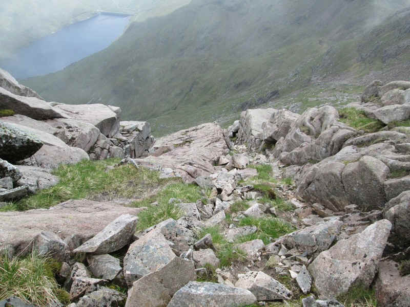
Close up the slabs clearly slope quite steeply but the rock is very 'grippy' and in dry conditions I felt perfectly comfortable. There are lots of cracks to put your boots in and using trekking poles makes it even easier. I did decide, however, that it wasn't sensible to take a photo actually on the slabs! The best starting point seems to be to use the crack visible on the far right of the photo. It's probably about only twenty paces across the rock to a point where a small gully appears going uphill and...
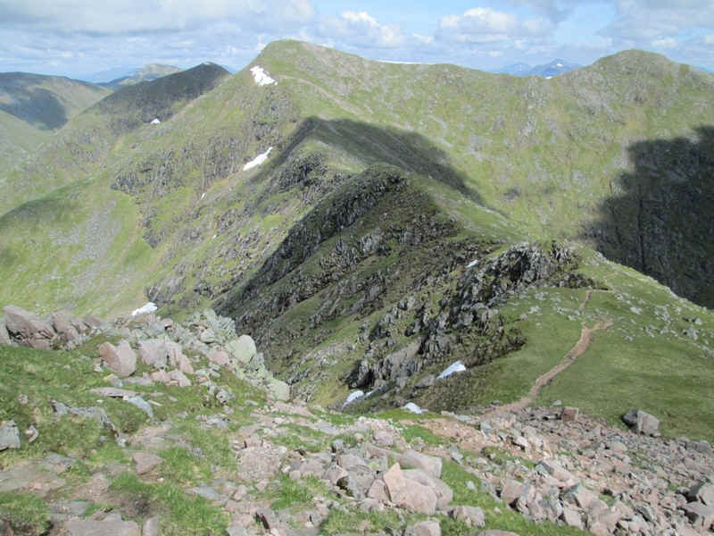
...this gully can be seen in the centre viewed from above.
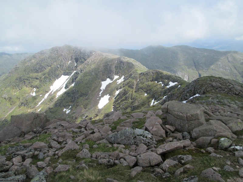
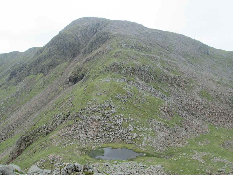
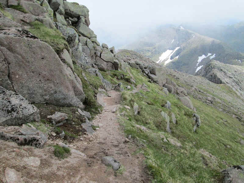
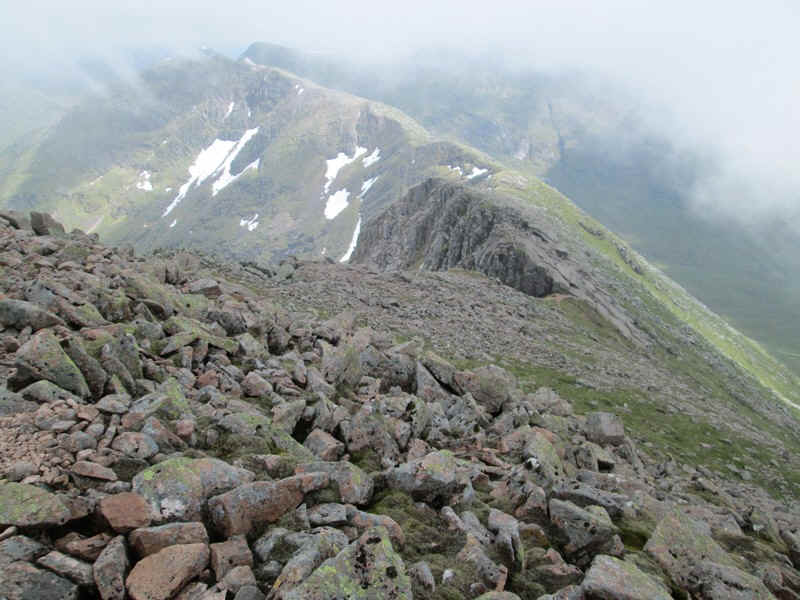
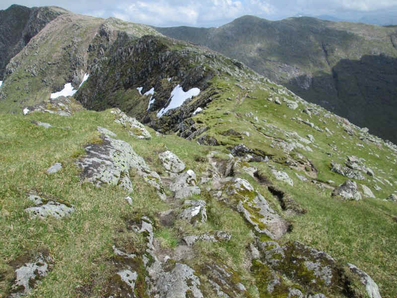
Once over the slabs the ridge walk continues with no problems. The first objective, Drochaid Ghlas, can be seen in the top left of the photo.
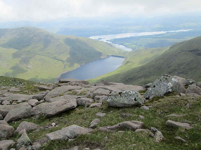
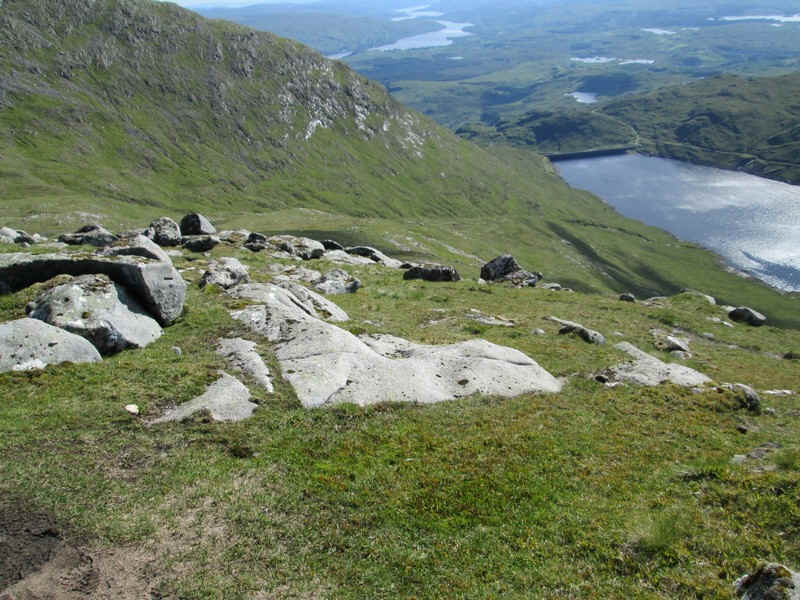
Looking down to the reservoir and Loch Awe.
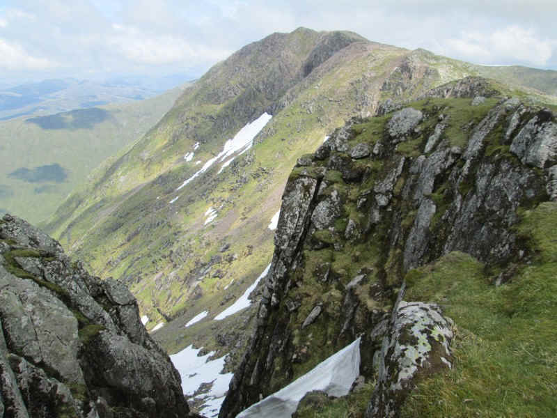
Looking back, the bulk of Ben Cruachan is now clear of cloud.
Drochaid Ghlas seen through one of the gulleys.
The ridge path continues its ups and downs...
...and generally keeps away from the edge of the cliffs.
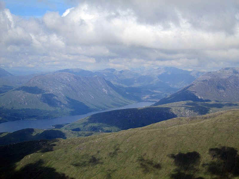
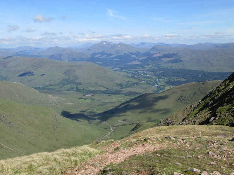
Looking towards the head of Loch Etive and the hills around Glen Coe.
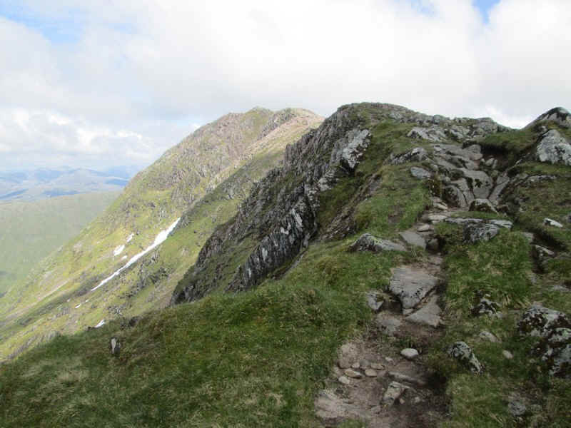
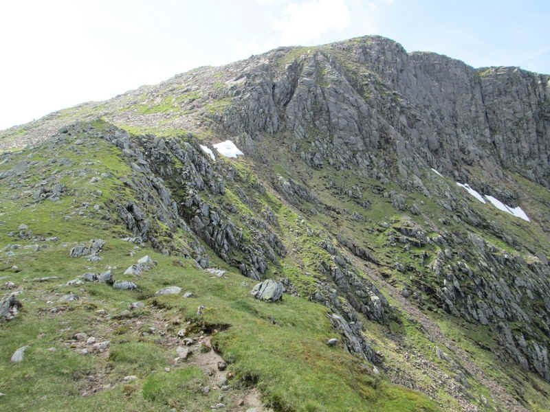
Onwards towards Drochaid Ghlas...
....with its towering rocky ramparts.
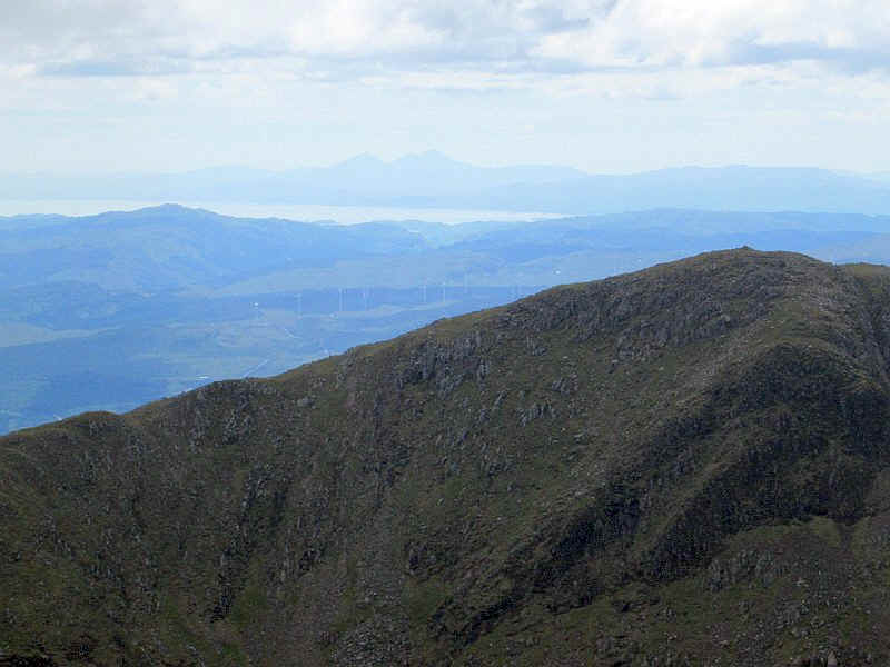
Over to the south-west the Paps of Jura could be seen quite clearly.
This small cairn is an important one as it marks the sharp bend in the ridge path. Down to the right to continue or ahead to visit the summit of Drochaid Ghlas.
The summit cairn of Drochaid Ghlas is actually higher than Stob Glas but isn't counted as a separate Munro. Such are the ways of the Munro tables!
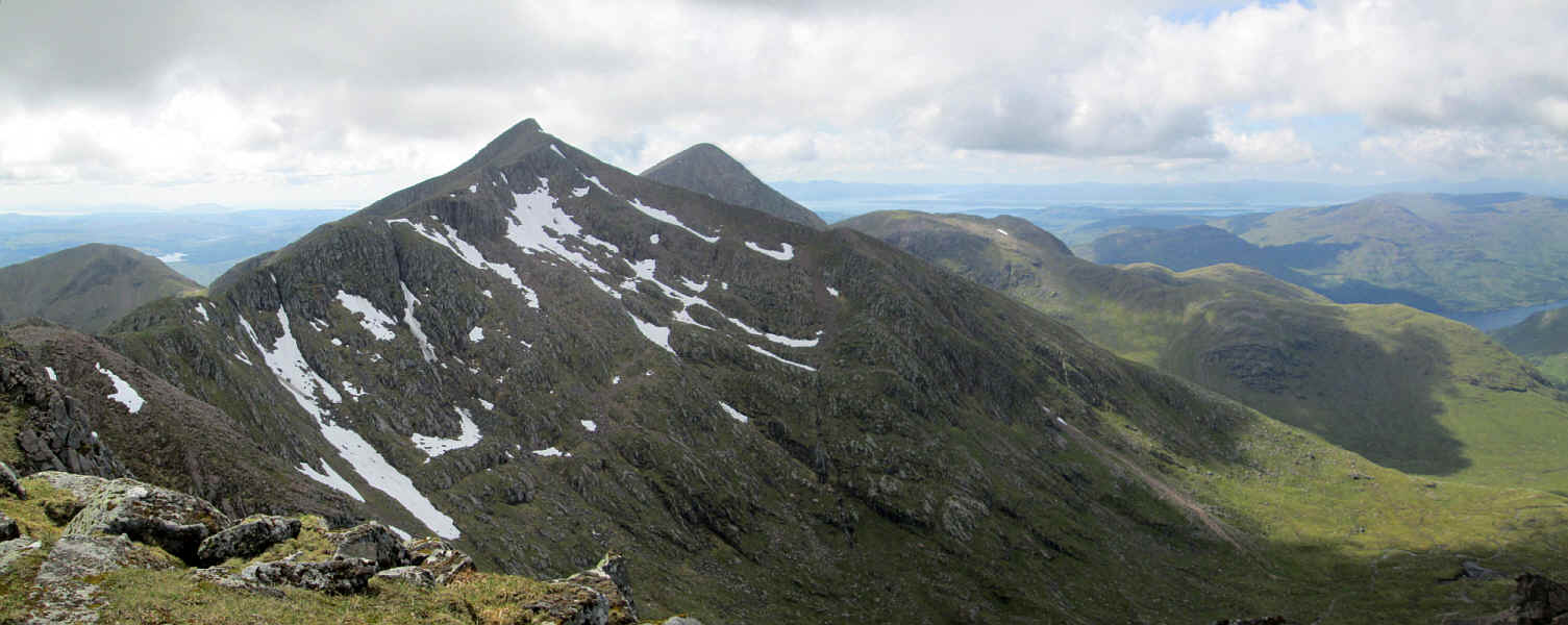
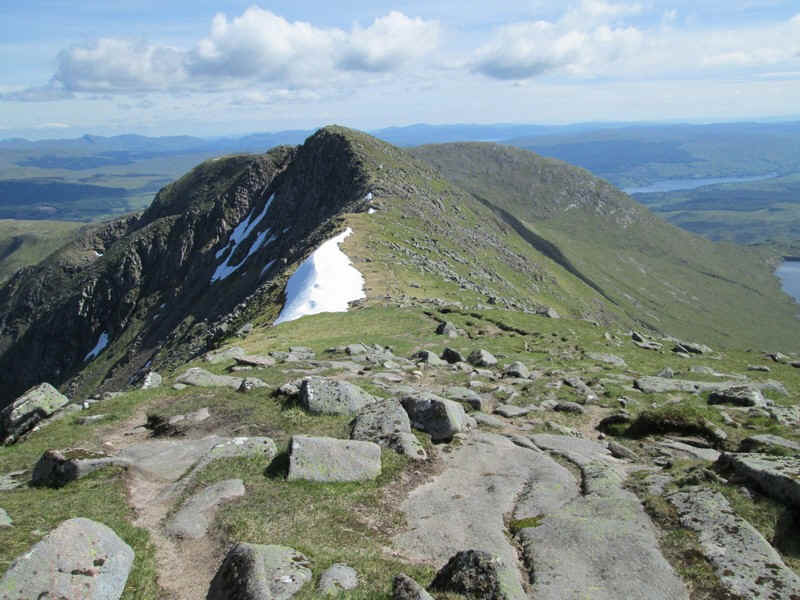
Click on the photo to see a larger image. Ben Cruachan with its pointed peak and snow covered northern cliffs is in the centre, with the top of Stob Dearg to the right. In the left distance can be see Mull and Morven.

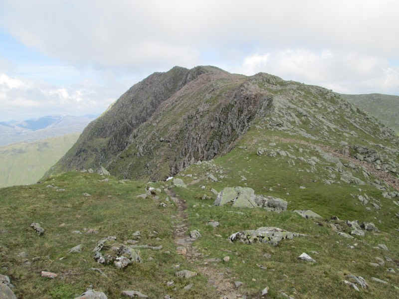
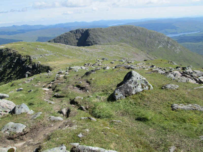
The ridge path to the second Munro, Stob Diamh, can be seen.
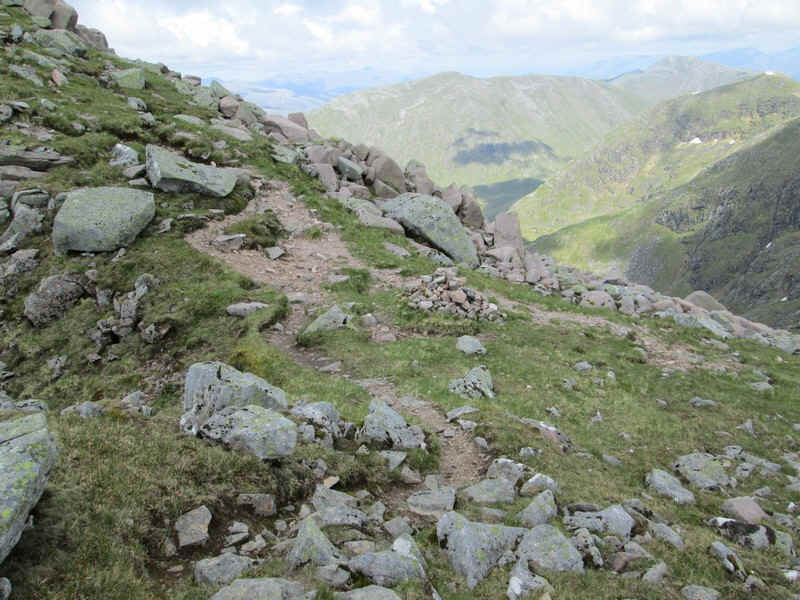
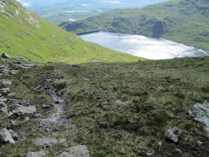
There's a drop of about 120m down quite a steep and eroded track....
....before it levels out a bit.
Looking back to the cliffs of Drochaid Ghlas.
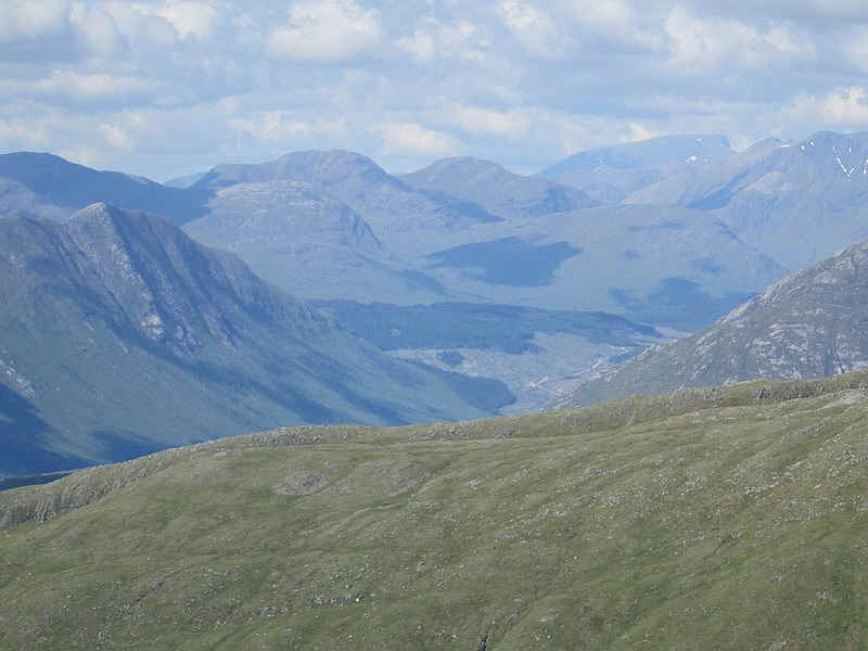
Air conditions continued to improve and from the col a telephoto shot has the distinctive shape of Ben Nevis in the distance.
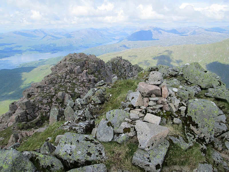
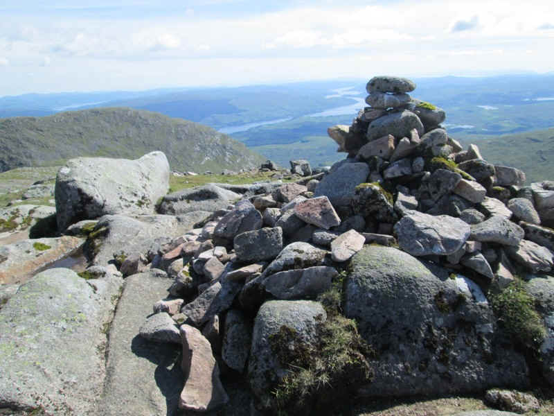
There's a climb of 130m to the summit of Stob Diamh...
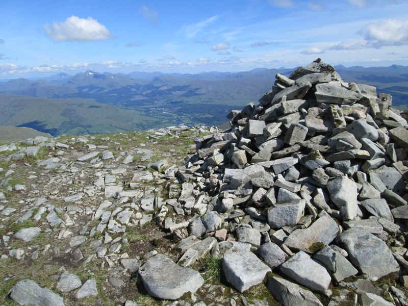
.....with its cairn and a view east towards Dalmally.
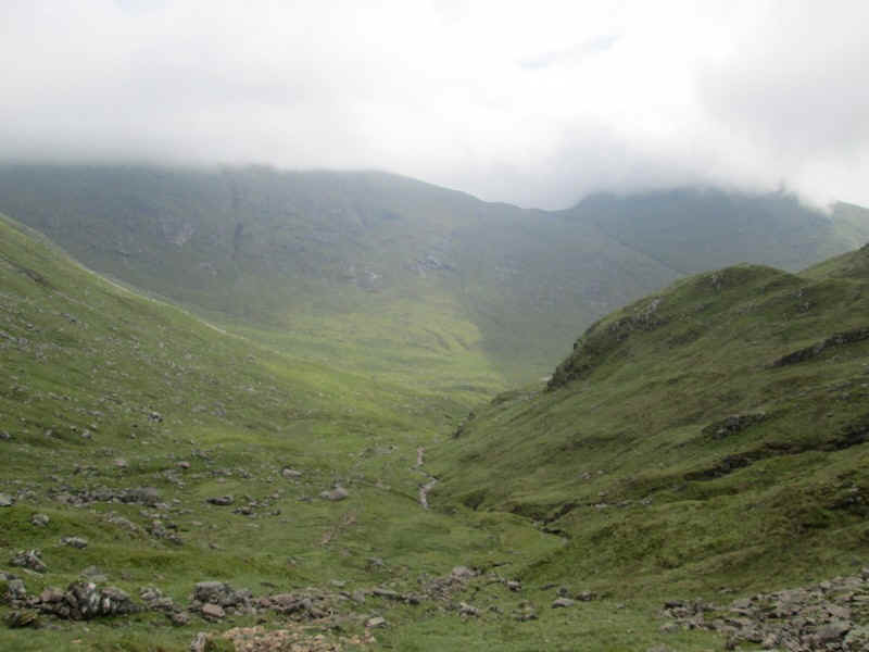
All the that remained now was to get down to the station in time for the early evening train.
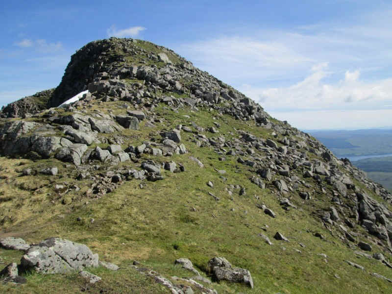
The climbing was still not over as the path goes over this 947m summit..
...and its cairn. Locha Awe is in the distance.
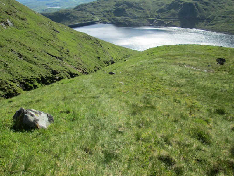
There's an easy path along this grassy section of the walk...
.....with snow patches visible on Ben Lui and in the far distance Ben More at Crianlarich 22 miles away.
The path is heading for the bealach at Lairig Torran with the crags of Beinn a'Bhuiridh beyond.
As the path descends it unfortunately becomes easy to lose so I ended up walking straight down the hillside towards the dam, with sections being quite wet.
Intermittent sections appear and then disappear...
...but as this gully is reached there is a faint path that leads...
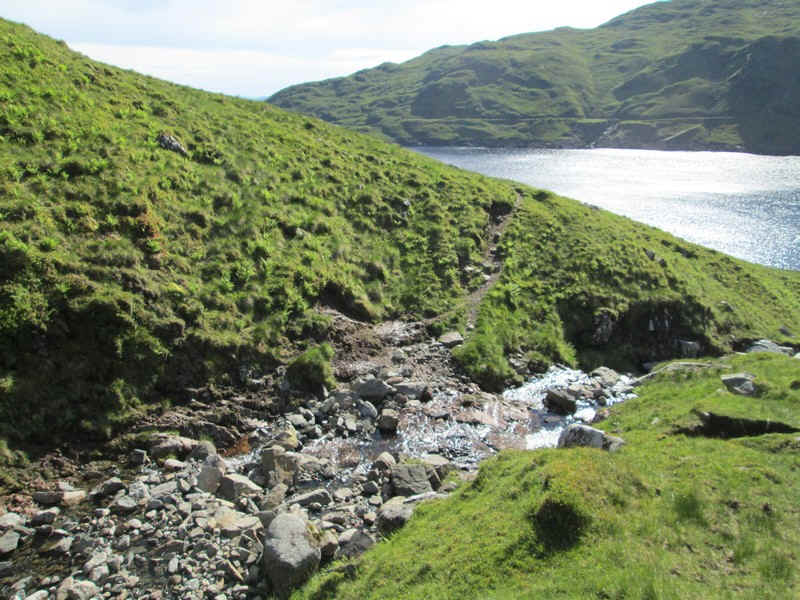
...down to what, in wet weather, might be difficult to cross.
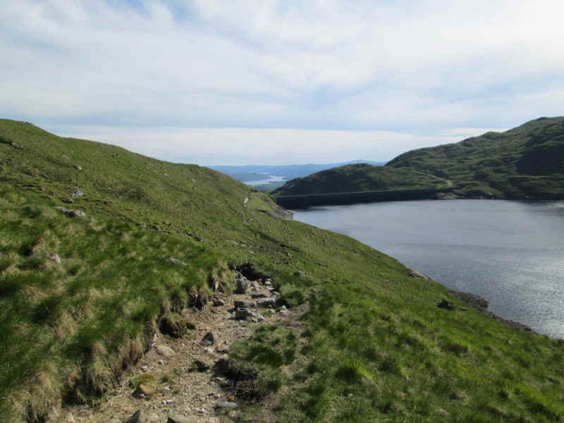
The path follows the edge of the reservoir until...
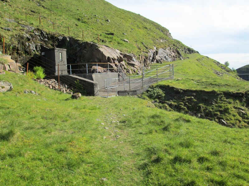
....it reaches this entrance to one of the tunnels which bring water from other parts of the area to the reservoir.
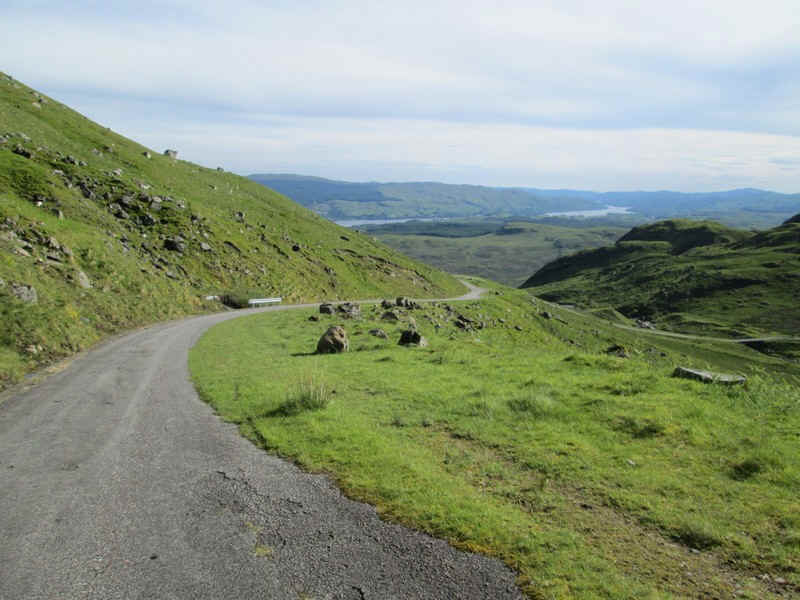
Beyond the dam the hydro road drops down...
...until it reaches the start of the path back to the station.
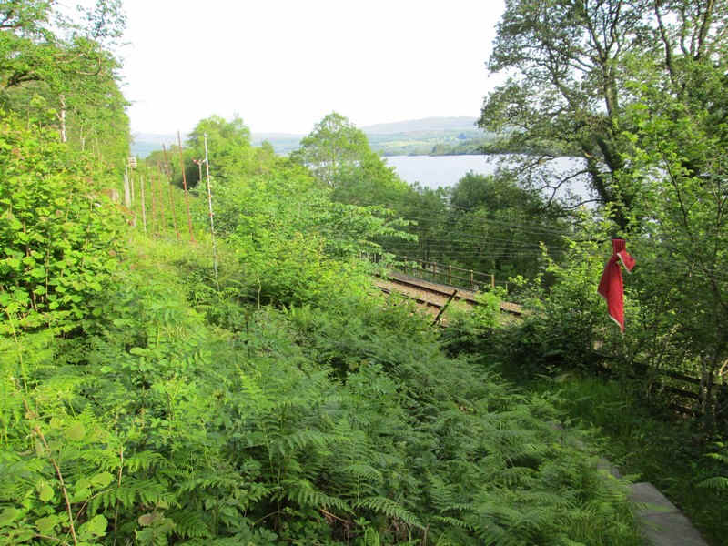
Just before the railway line the path goes under the wires of 'Anderson's piano'. These form the rock fall warning system for trains along this section of the line. One of the signals can be seen towards the left of the photo. The red cloth ties all the wires together, which would otherwise block the path! (note: Anderson was the inventor of this safety system for the old Caledonian Railway and in the wind the wires make a sound)
The entire walk had taken a few minutes over nine hours including lots of stops for food, drinks and photos.
Only another 140 Munros to go!!!