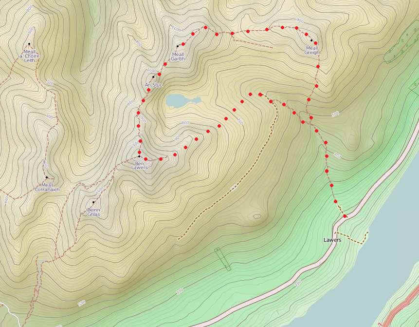
Meall Greigh, Meall Garbh, An Stuc and Ben Lawers
The way points on this map are taken from my GPS Spot tracker. You can make the map bigger or alter its appearance by clicking on the controls.
Note: Due to an error in the way the Spot transmitter was placed in my bag, Spot lost contact with the satellites and stopped transmitting my position. The blue symbols show my estimated track.
===================
The map above shows my route on a map taken from OpenStreetMap.org
In early September 2011 I decided to try to climb the seven Munros in the Lawers group. I travelled to the Ben Lawers Hotel (by the side of Loch Tay) by train and bus - a convoluted journey of three trains and three buses. From Stirling I took the bus to Callander, then to Killin and finally the twice daily bus as far as Lawers. The weather forecast was not good with gales and heavy rain forecast...
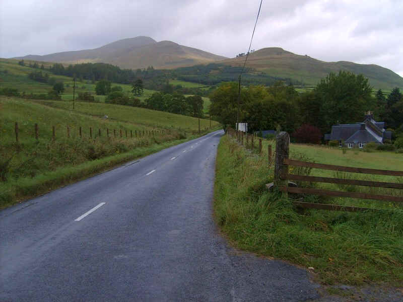
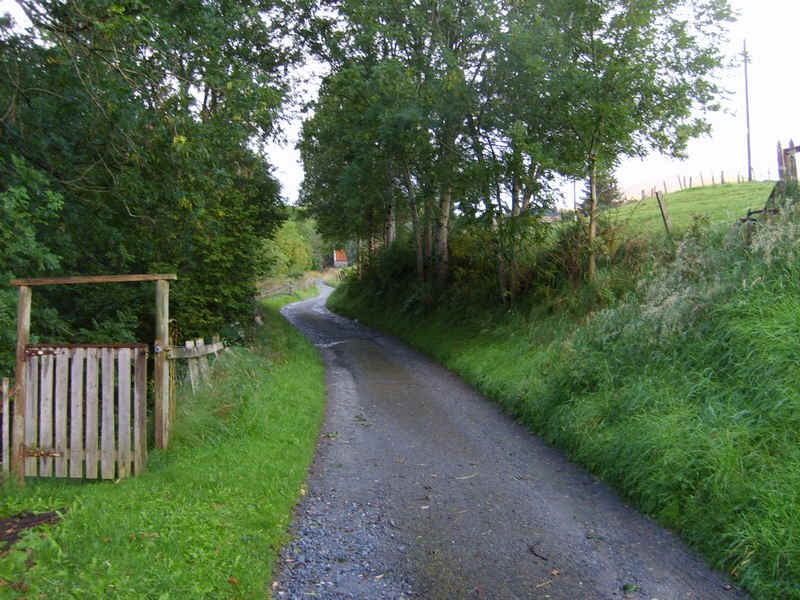
Leaving the hotel the first part of the walk goes along the Killin to Aberfeldy road for a short distance. At least the weather had improved slightly as I could see that the first Munro, Meall Greigh, was clear of early morning cloud.
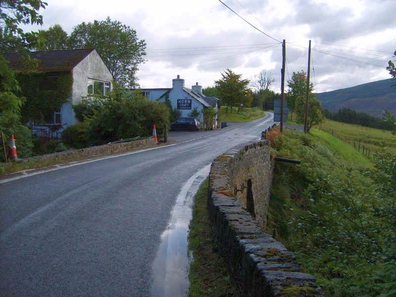
At the bridge over the Lawers Burn, there is a curious craft shop belonging to a horn carver....
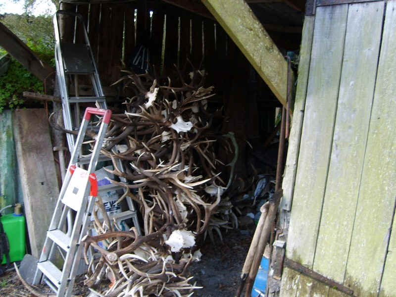
...and, by the side of the path beyond the house, was this curious sight of a pile of stag antlers.
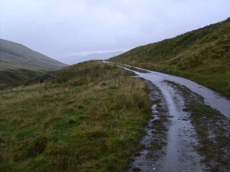
The track to Machuim farm is followed...
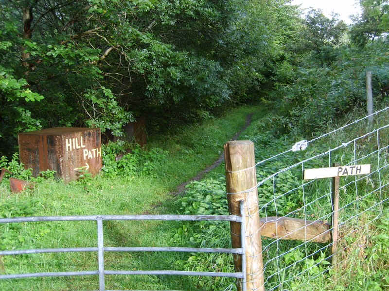
.....until this sign makes it very clear which way to go to avoid passing the farm buildings.
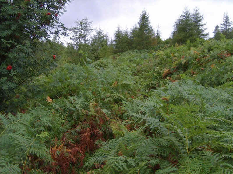
There is a short section through deep bracken..
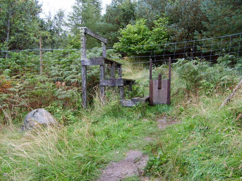
.....before reaching the giant-sized stile into the woods. Quite how people with short legs manage these I don't know.
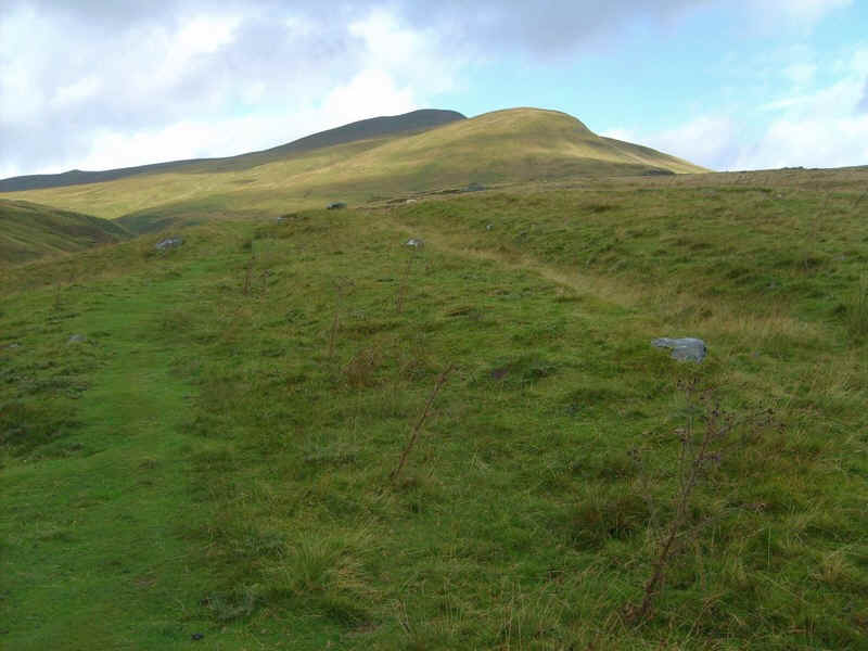
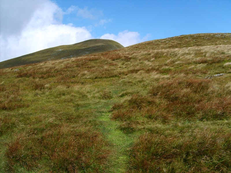
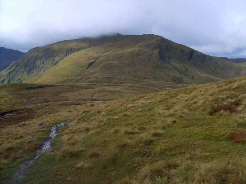
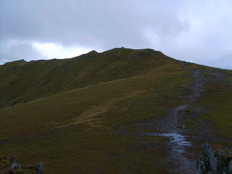
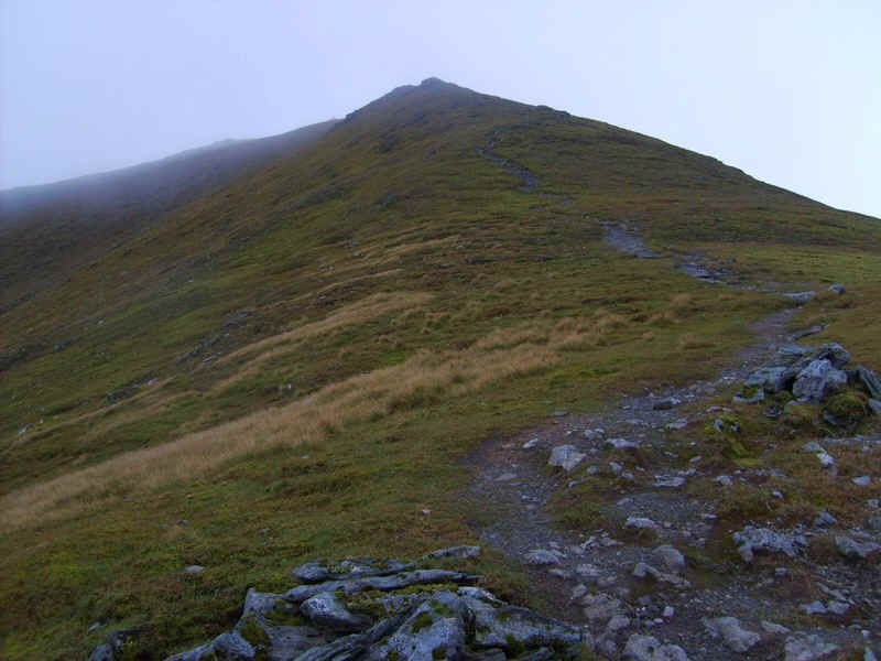
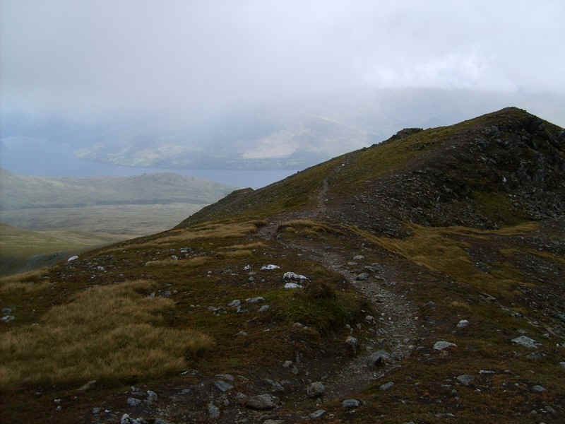
Once out of the woods the first target of the day was clearly in view...
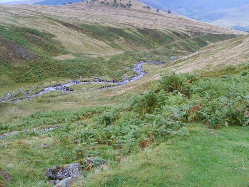
.....whilst on the left the burn has cut deeply into the hillside.
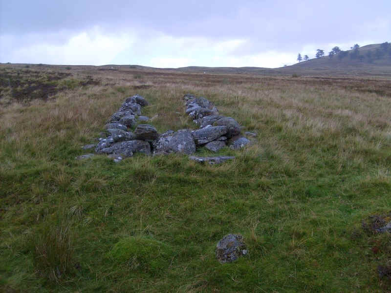
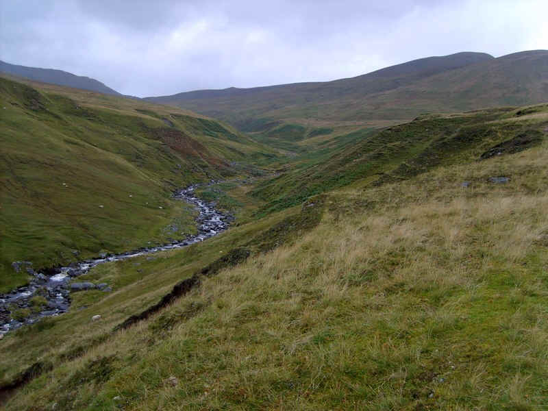
There is an area of shielings (abandoned farmsteads used during the summer months in the past) by the path.
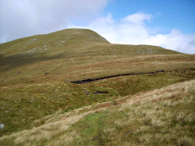
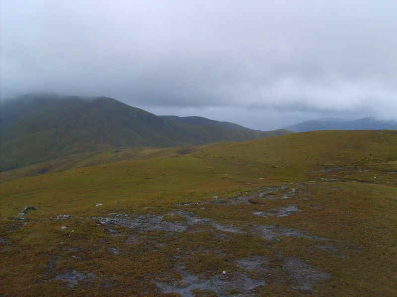
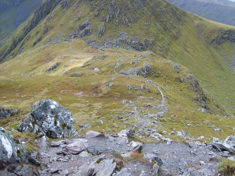
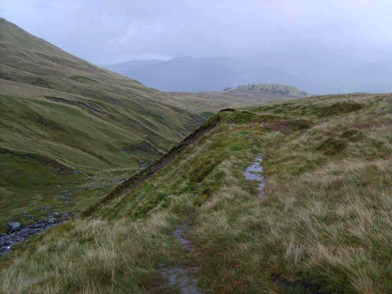
Once the path starts to drop down to the burn it is time to strike off across the hillside. There are odd traces of tracks, but the climb is basically pathless most of the way.
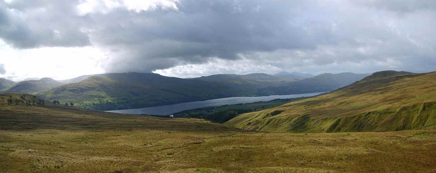
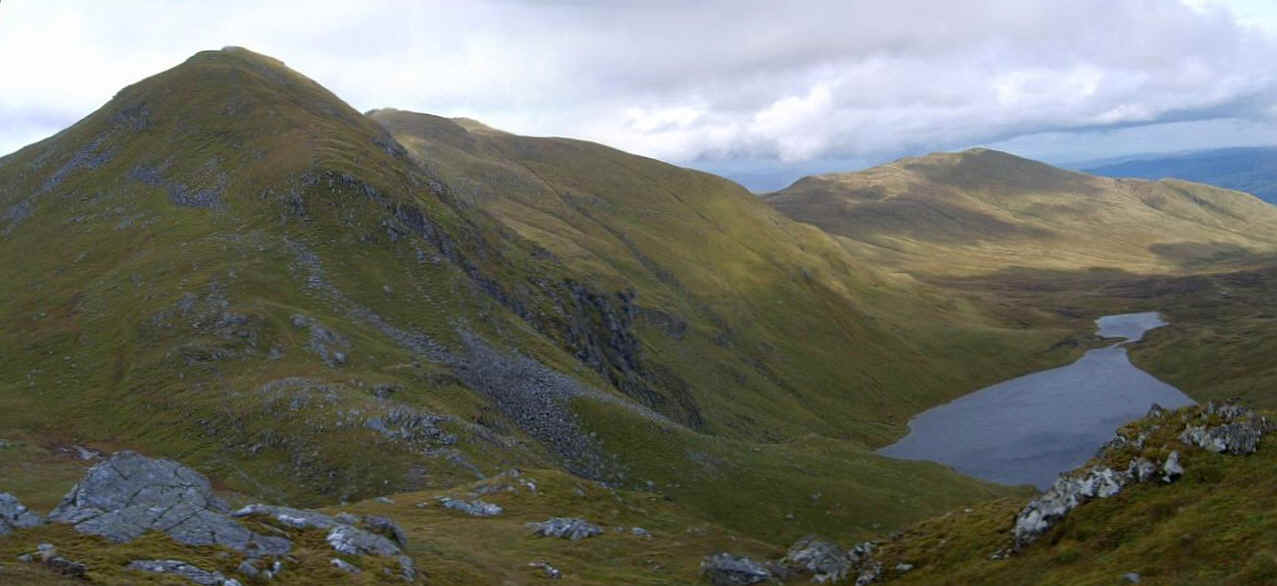
This panorama looking back over Loch Tay can be enlarged if clicked on.
Over to the east are the hills I wanted to climb on this walk. From right to left; Meall Garbh, An Stuc and Ben Lawers.
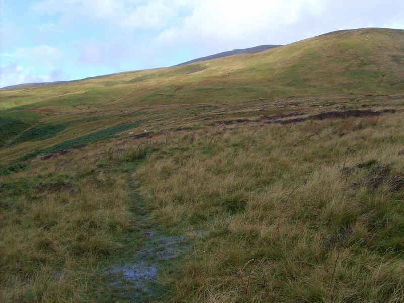
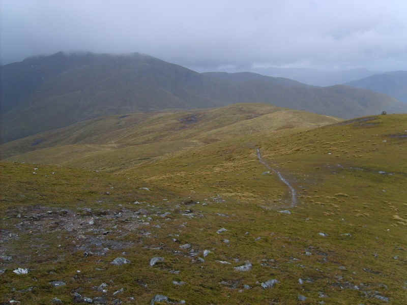
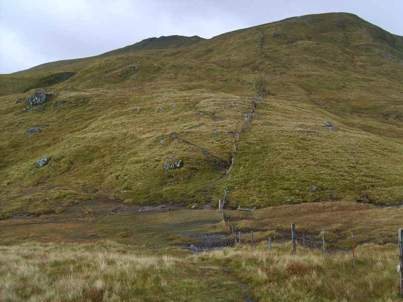
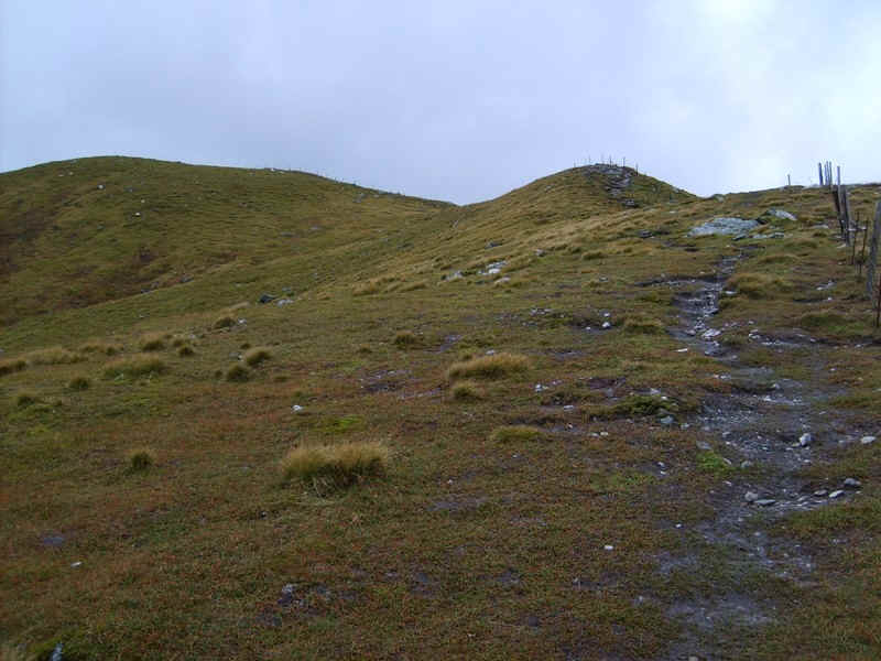
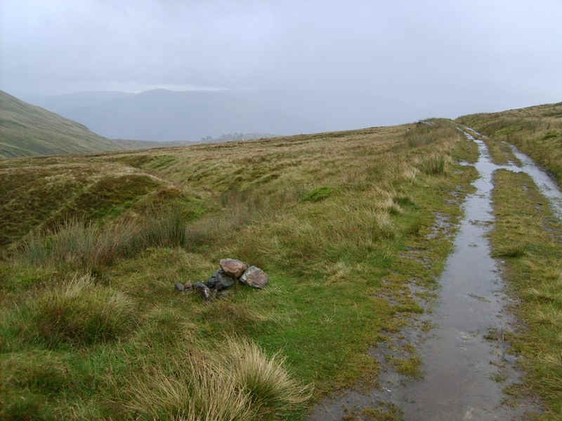
Higher up a track appears and...
.....it's basically a case of plodding on uphill over grass.
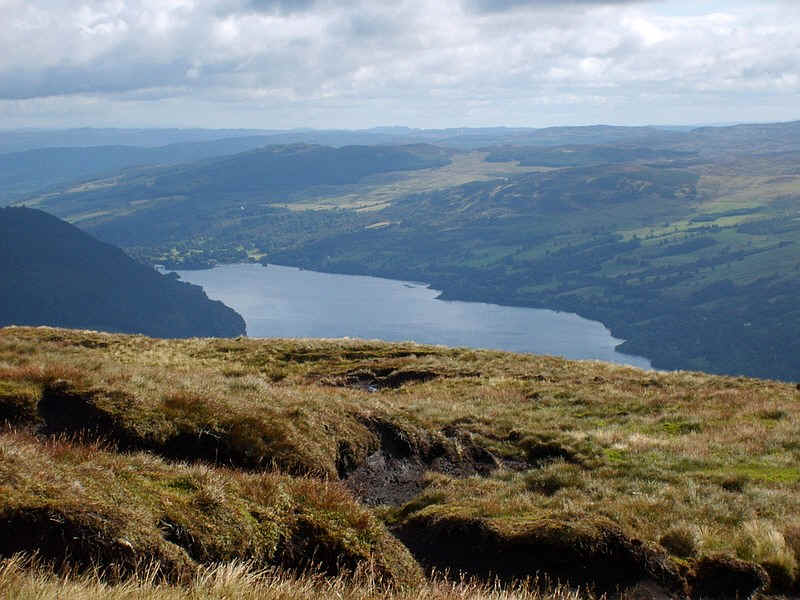
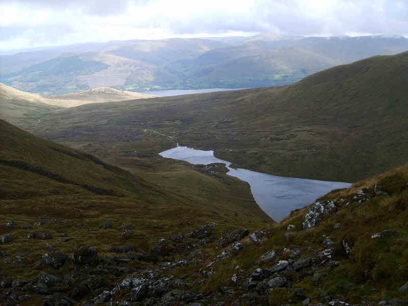
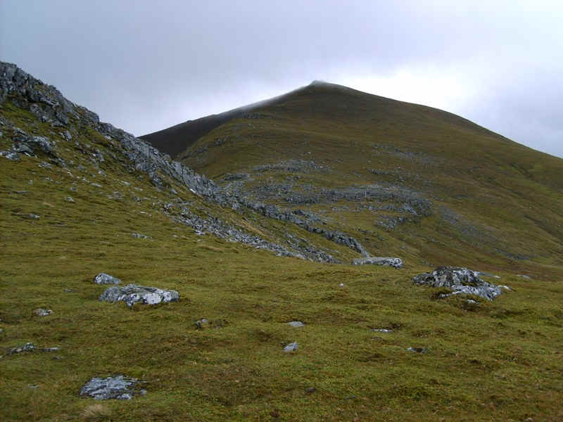
Near the summit the eastern end of Loch Tay comes into view. At this point in the walk the wind had increased to near gale force...
....and at the summit (1001m) there were hailstones. It wasn't a place to linger.
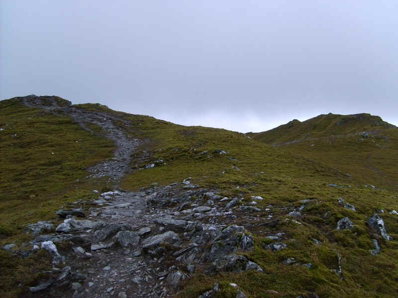
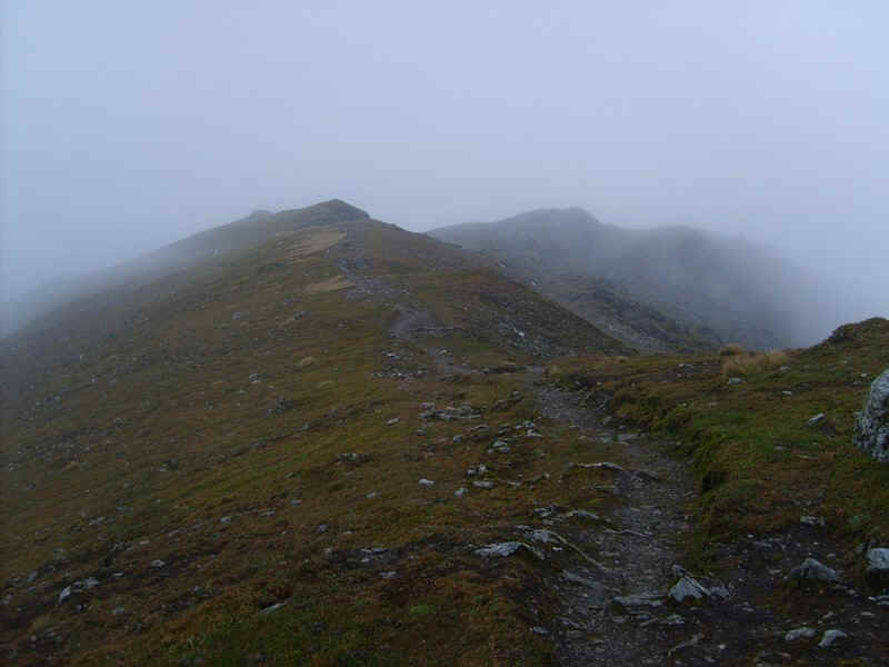
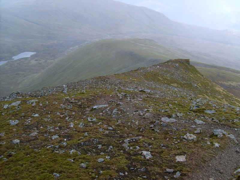
Dropping down from the summit a clear path now continues the whole way to Ben Lawers. There is a drop of over 150m...
.....over gently undulating grass...
....to a col in front of Meall Garbh.
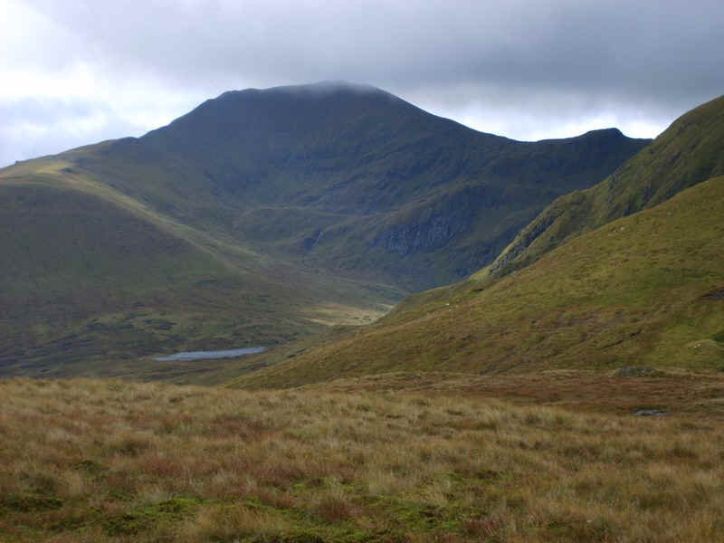
Ben Lawers only has a small cloud cap on it whilst here there is the first view of the "cat shaped" Lochan nan Cat.
The path to the summit of Meall Garbh follows a fence....
......whilst here is a view looking back to Meall Greigh.
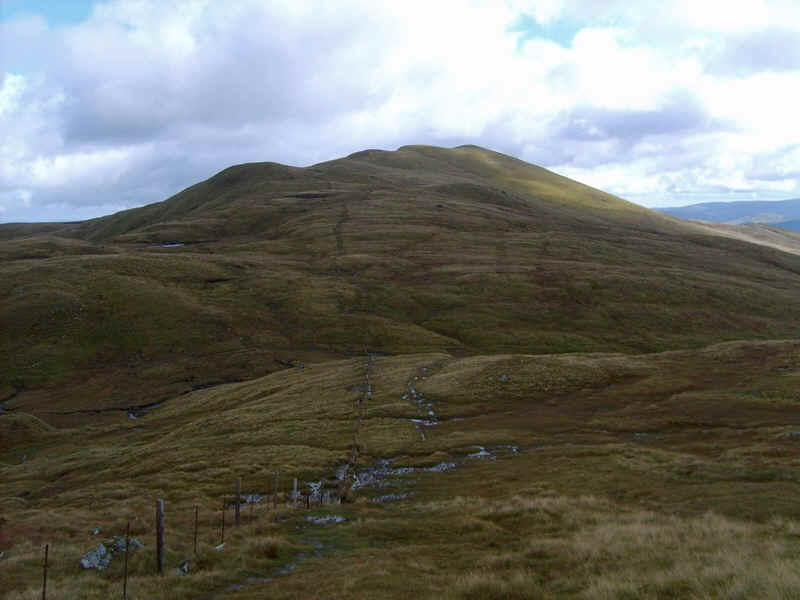
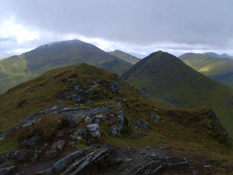
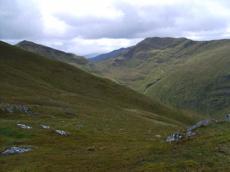
Half way up the hill the ridge turns quite sharply from north westwards to south westwards.
Looking down into Coire Thaochaidh and Glen Lyon.
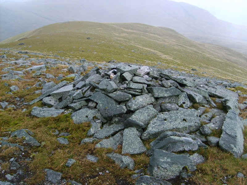
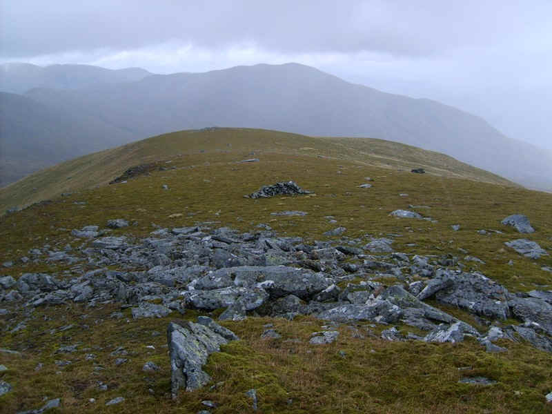
Almost at the top of Meall Garbh there's a curious side ridge which has...
.....a cairn on it...
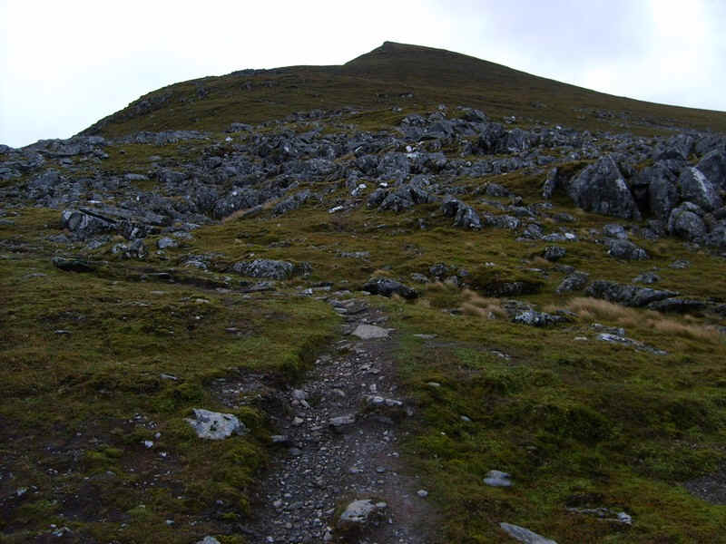
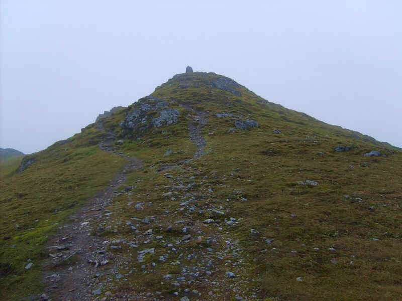
......but the main path continues up the ridge.
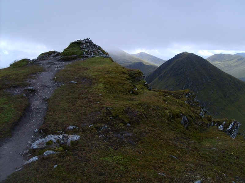
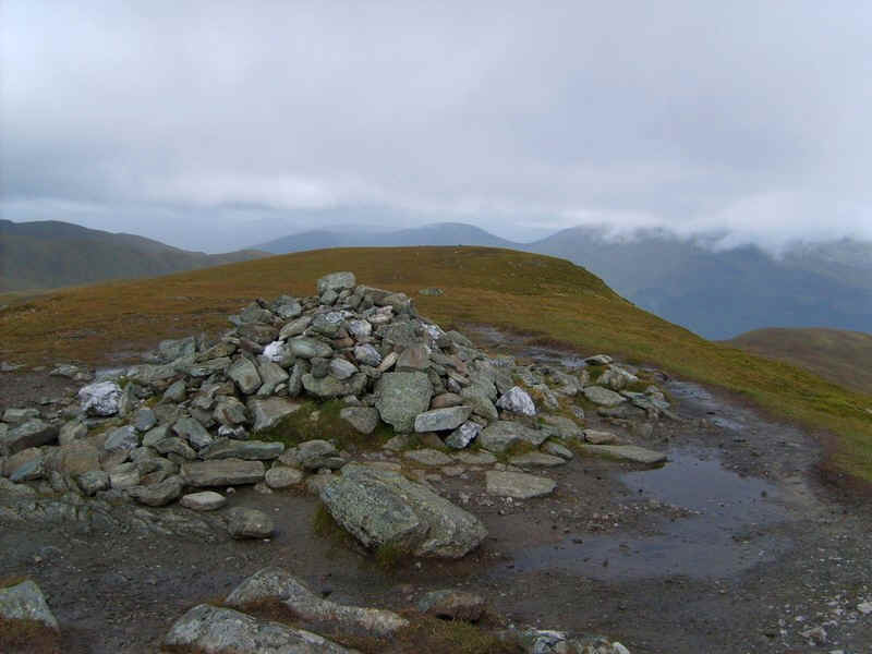
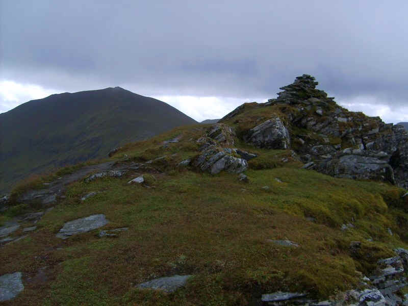
...to the summit at 1118m with a cairn perched on quite a narrow ridge.
The wind was rather strong here but I managed to find a sheltered position for a quick snack and to prepare myself for the "horrors" of An Stuc. I was quite prepared to turn back if it proved too difficult. Looking at it from here, like many other walkers I thought, "Oh hell.....
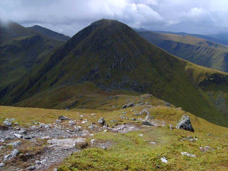
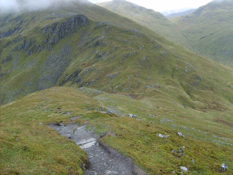
My mood wasn't helped by the violence of the wind sweeping across the coll between the two hills and it was quite an...
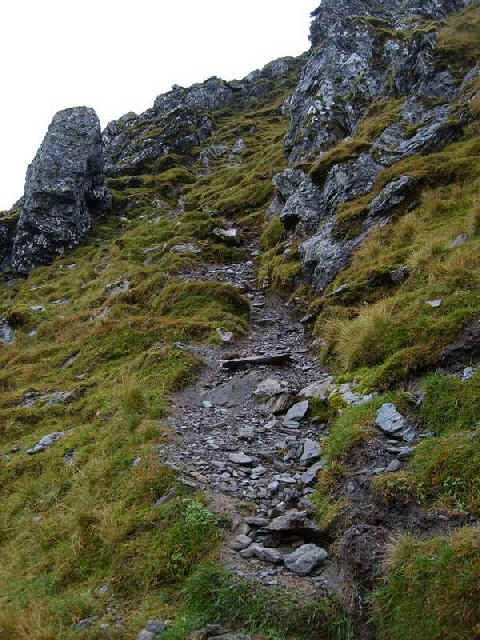
.....entertaining descent of 127m over rocks....
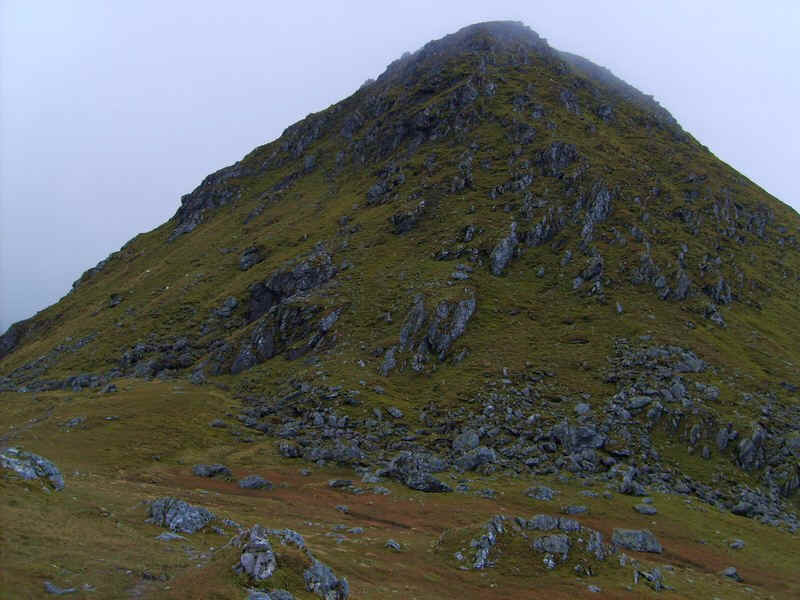
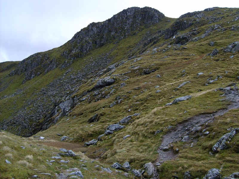
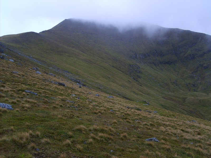
.....to the col where An Stuc's north east face towers above. However, there was a track clearly visible up the left hand side so onwards.
Fortunately, the path was in the lee of the hill and there was no problem with the wind on the ascent.
A glance back shows the south west ridge of Meall Garbh. Interestingly both Meall Garbh and An Stuc are exactly the same height of 1118m. There can't be many hills where this has occurred.
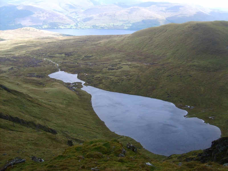
With a little imagination Lochan nan Cat does look like a reclining cat.
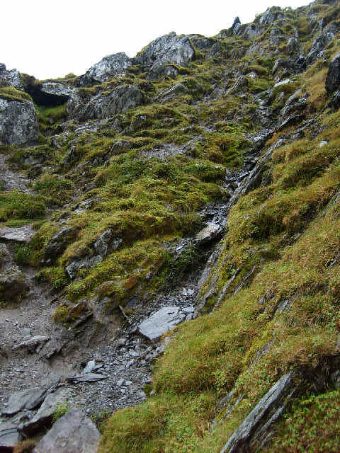
However, it was now time to get on with the serious business of climbing An Stuc. In truth I didn't find it anywhere near as intimidating as I'd been led to expect. I need to use my hands a bit and there is a little exposure. There is certainly quite a bit of scrambly rock to climb but at no point did I feel unsafe. However, I would not want to descend as there are places when the path is badly eroded.
 |
 |
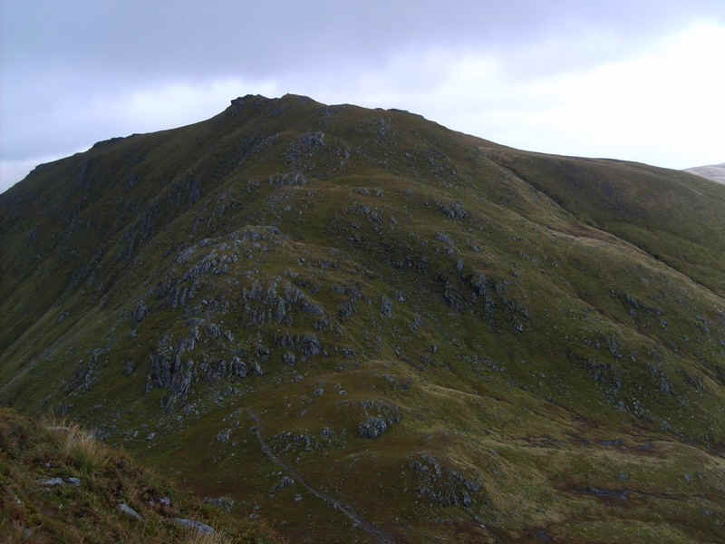
The tricky sections don't last very long and soon I was at the summit with Ben Lawers, clear of cloud, towering nearly another 100m higher.
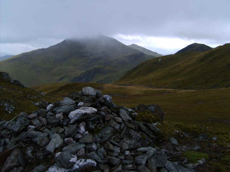
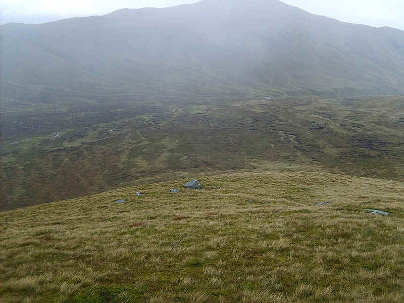
There is another big descent of 176m on a good path to Bealach Dubh...
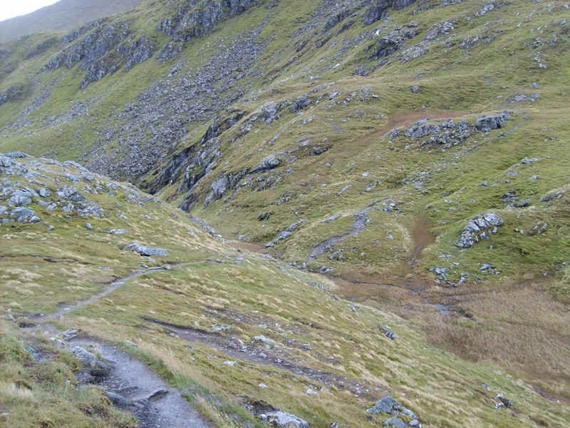
......where I had thought I might need to descend back to the Lawers Burn if progress hadn't been good, or the weather had got worse.
However, this wasn't the case, so it was on to Ben Lawers, the tenth highest Munro. Above the bealach are the cliffs on Creag Fhithich....
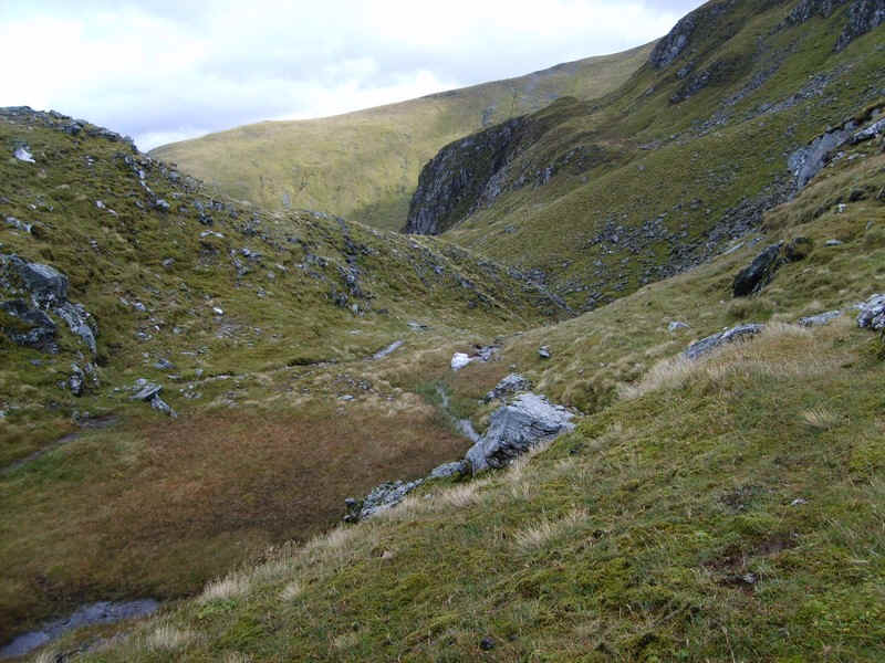
.....whilst the escape route down to the lochan can be seen here.
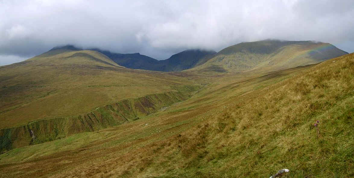
This clickable panorama shows An Stuc, Meall Garbh and Meall Greigh from the climb to Ben Lawers.
For some reason my Spot GPS transmitter moved in my rucksack and stopped transmitting at this point. It's important that its top face has a view of the sky and carrying a new bag I hadn't made absolutely certain that it couldn't shift its position. On the map at the top of this page the blue way marks are my estimated positions.
Not being a masochist, I decided there was no need to go over Creag Fhithich and took the by-pass track on the west side - ok so it's a Top, but there are enough Munros without counting the tops as well!
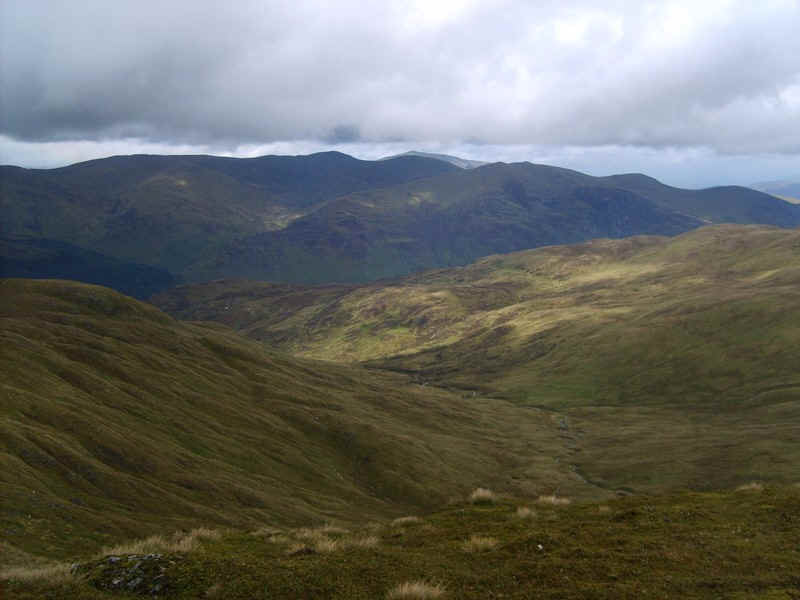
Although the wind was still strong, at least the views were good and here is the view into the top of Coire Liath with the two Munros I intended to climb the next day visible at its head. On the left is Beinn Ghlas and on the right Meall Corranaich.
There's a significant height gain of 272m from the bealach to the summit of Ben Lawers but it's an easy path...
.....without any difficulties.
Sadly, almost on cue, the mist descended as I reached the summit
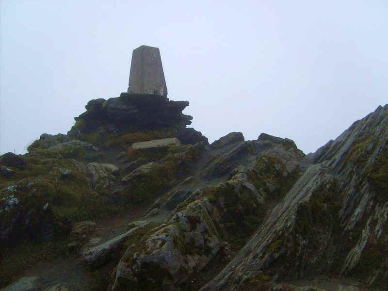
Ben Lawers not only has a cairn but also this rather precariously perched trig point.
The mist rolled in and out but, despite waiting a few minutes, there were no really good summit views so I headed off down the south east ridge towards the Lawers Burn. It would be really easy to end up taking the wrong path from the summit as the south west path goes down towards Beinn Ghlas and the National Trust car park.
A little lower down the path views reappear with...
......the clear path descending gently..
....until it reaches quite a narrow ridged section.
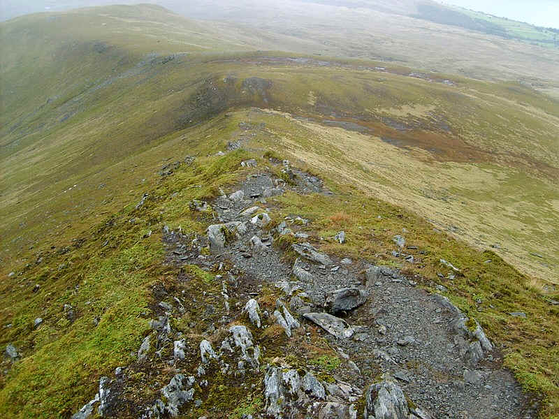
The gradient eases and there a succession of large cairns..
.....on the broad ridge.
A glance back shows that Ben Lawers is still covered with cloud, slightly detracting from the sight of that enormous corrie.
Towards the bottom of the ridge the next obstacle comes into view, the enormous marshy peat bog which is over a kilometre across. Despite the ground being wet after the dismal summer of 2011 it was still quite easy to walk across. I'd entered the grid reference for the dam at the end of the hydro vehicle track and used my GPS to walk to this point.
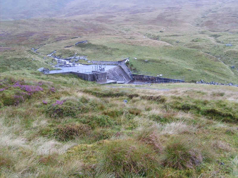
The dam on the Lawers Burn .....
.....and the hydro road, which is followed for a short distance...
.....to this cairn where a path drops off ...
......down towards the burn.
Eventually, it descends down to the stream..
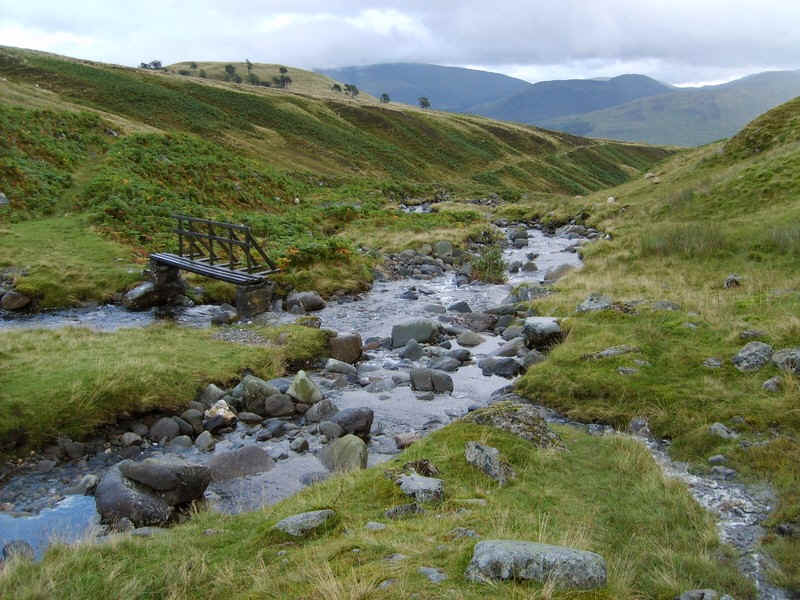
...at this rather strange bridge. It spans only one of the two streams and needs more giant legs to climb up onto it.
From here it is only a short distance until the area of the shielings is reached and the outward route from Lawers.
My timings from Lawers were;
Meall Greigh 2h 30m
Meall Garbh 4h 0m
An Stuc 5h 10m
Ben Lawers 6h 30m
finish at Lawers 9h 15m