Ben Tee
On the last day of August 2021 I took the bus from Fort William to Laggan Locks in the Great Glen with the aim of climbing Ben Tee which at 904m isn't much short of being a Munro. In fact its two Munro neighbours Meall na Teanga (918m) and Sron a' Choire Ghairbh (937m) aren't significantly higher and certainly no more difficult to climb.
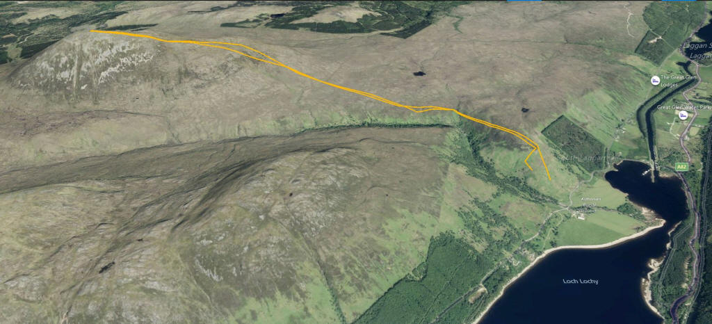
The map below shows my route taken from my SPOT personal tracker. The 3D image gives an impression of the terrain.
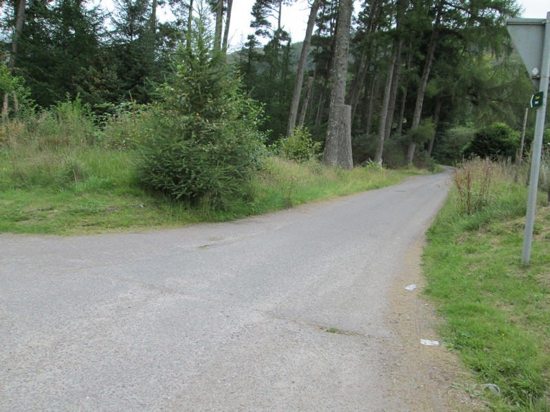
Leaving the bus stop at Laggan Locks this lane leads...
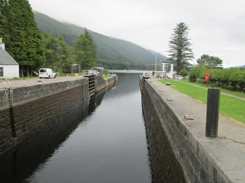
....straight down to the Caledonian Canal where you cross along the top of the lock gates.
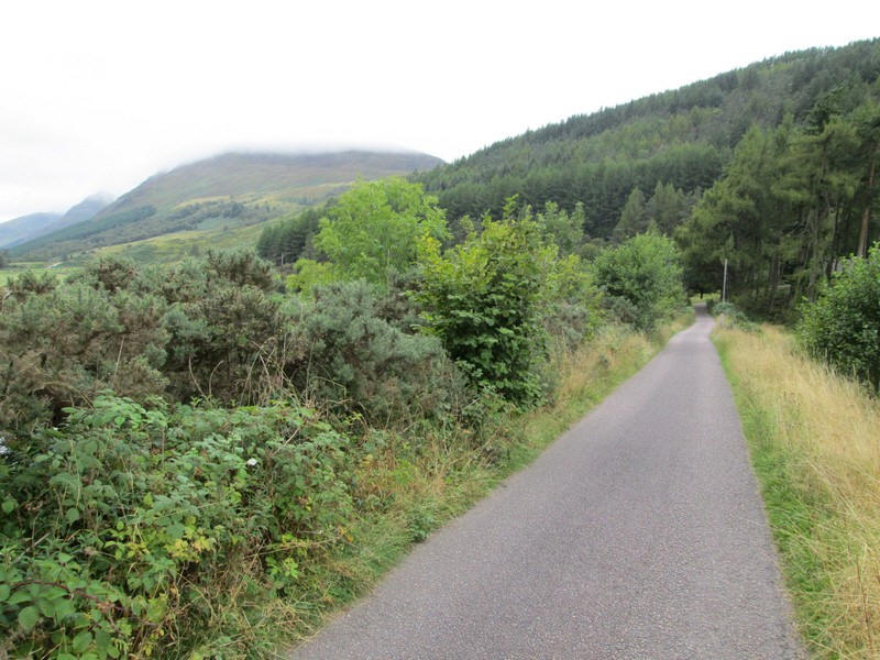
After following another lane past some holiday chalets there's then a short section along the public road to Kilfinnan.
Just before the bridge a faint path can be seen leading up diagonally through the bracken.
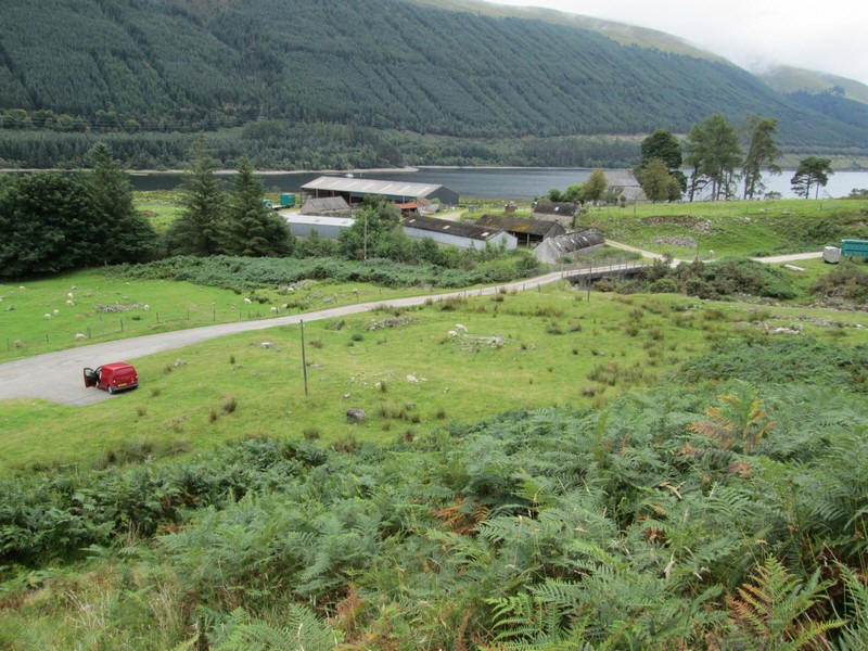
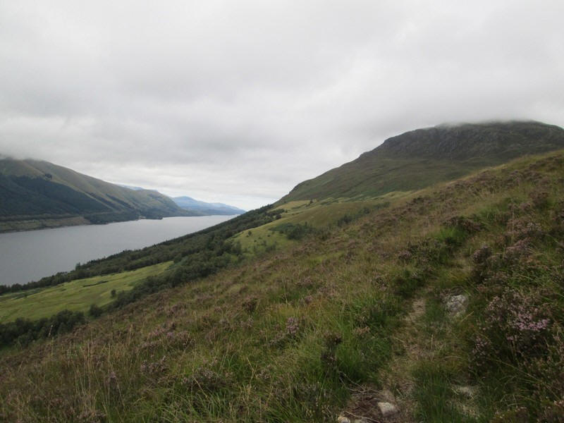
Looking back to Kilfinnan with Loch Lochy behind....
....and in the other direction is Laggan Locks.
Initially the path is clear but...
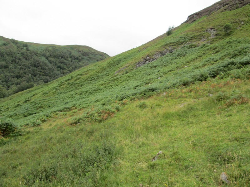
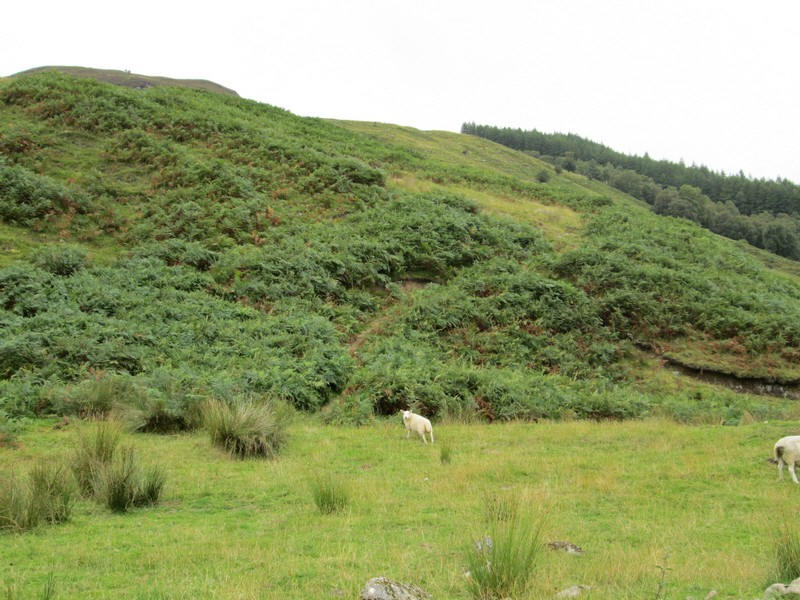
....it leads directly to a steep hillside covered in dense bracken. I tried to follow the path but with the bracken up to chest height I was soon stumbling about. Some guide books refer to another very faint path that bypasses the section when the bracken is high. I'd obviously missed the turning.
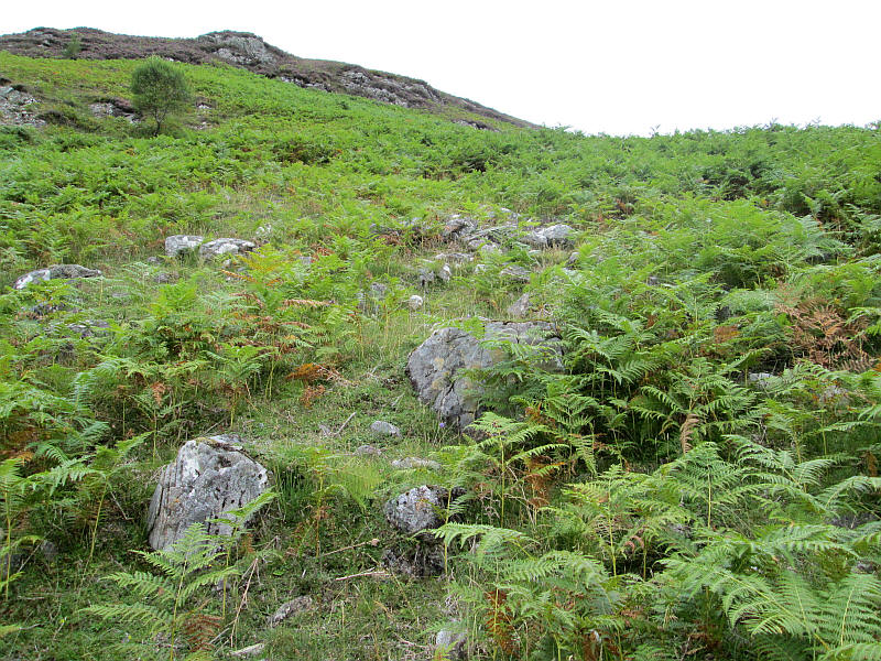
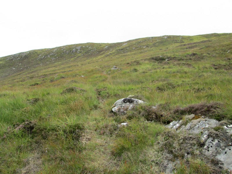
Fortunately, I had entered a way mark into my GPS which was on this path (NN27640 96370) so I retreated and climbed through slightly less dense vegetation...
...and reached the much better path.
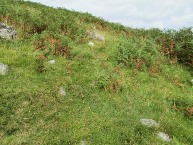
Later in the day, on the way down the hill, I discovered that the path junction is actually at NN 27578 95987 but as can be seen it is easily missed as the track is almost invisible as you walk past it.
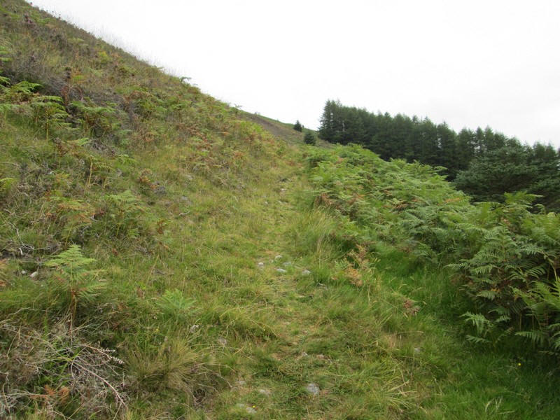
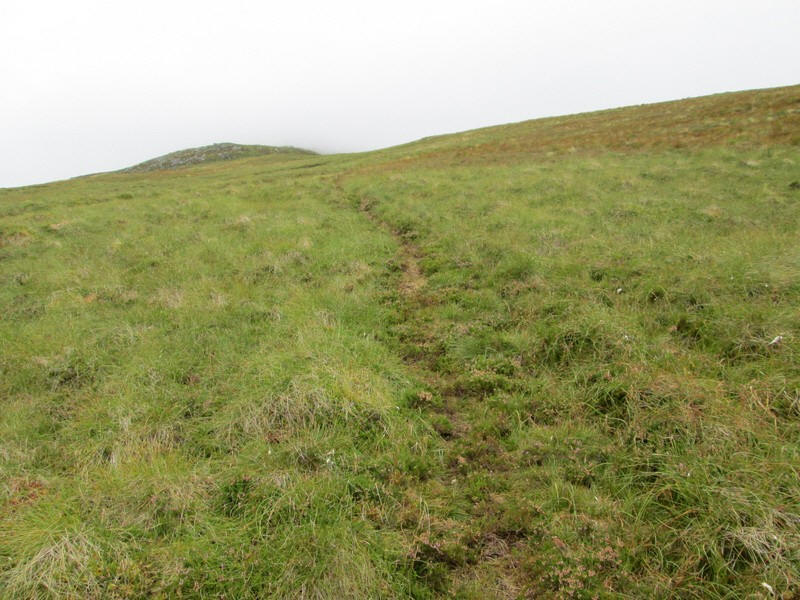
Having recovered my composure and sense of humour I'm now well above the steep bracken covered hillside and on a mainly clear path which will take me most of the way up the hill.
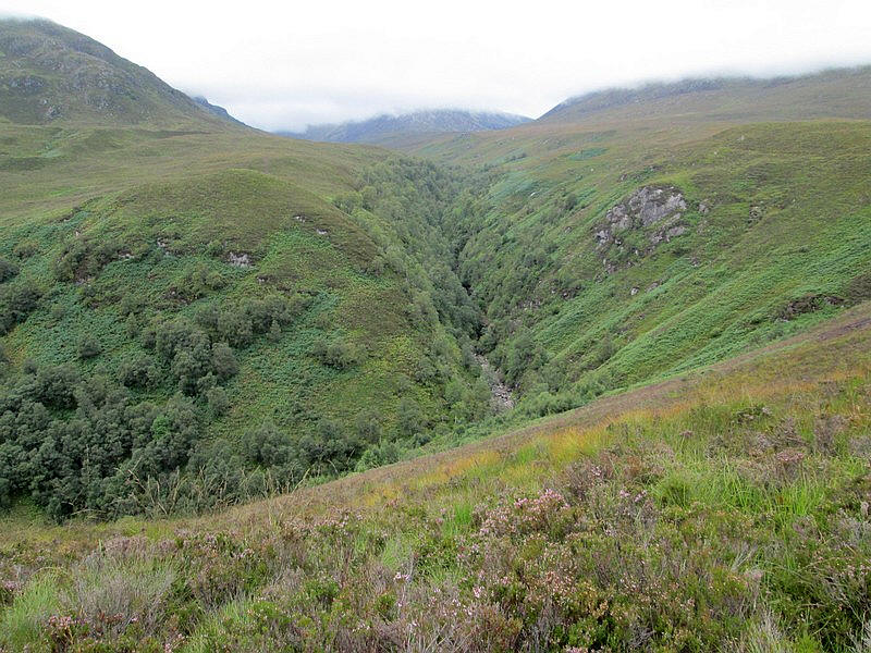
The path contours round the Kilfinnan Burn above a waterfall - this can't be seen because of the trees.
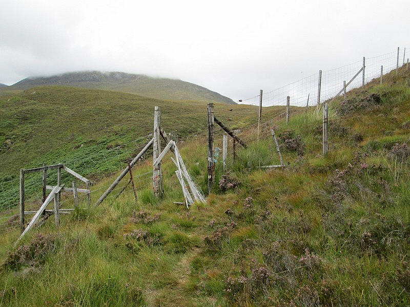
A rather dilapidated deer fence is soon reached with a broken gate that had a padlock hanging loose, so it was simply a case of stepping through the gap.
Looking back down the burn towards Loch Lochy.
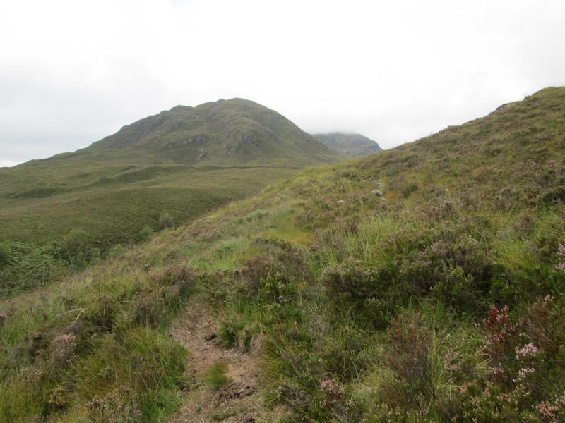
The path heads west with the 693m high Meall nan Dearcag ahead.
The track then turns towards the north west and heads directly up the gentle slopes of Ben Tee.
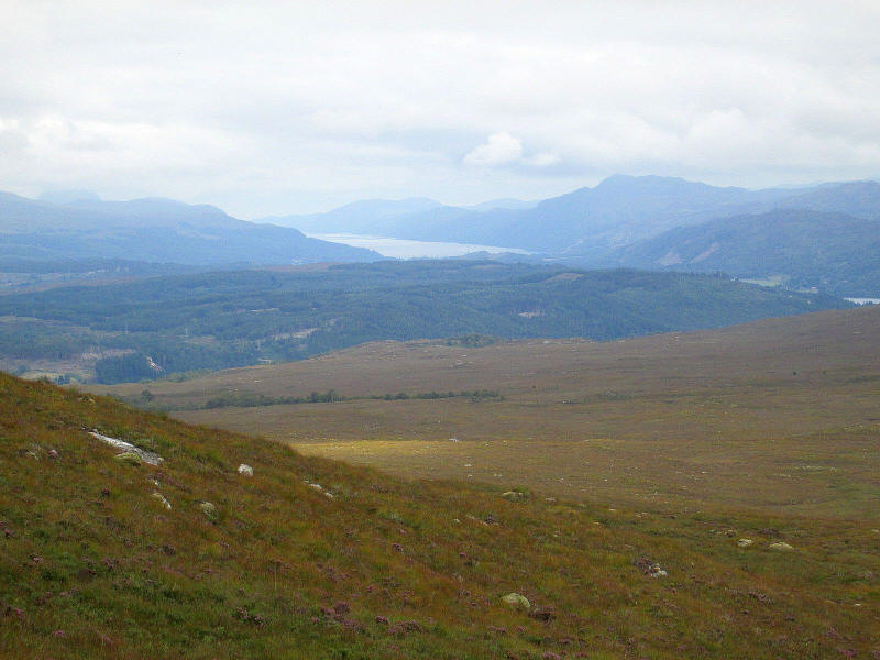
In the distance is Loch Ness beyond Fort Augustus.
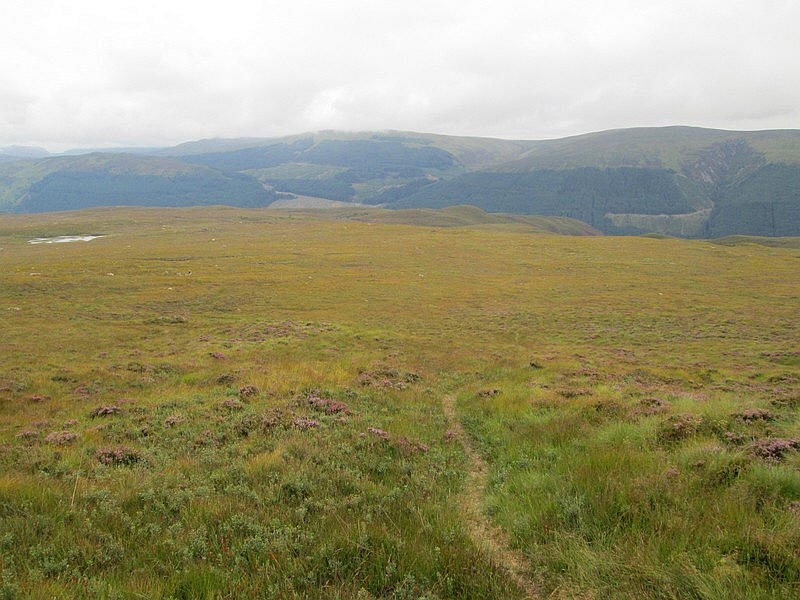
Looking back down hill with the small Lochan Diota over to the east.
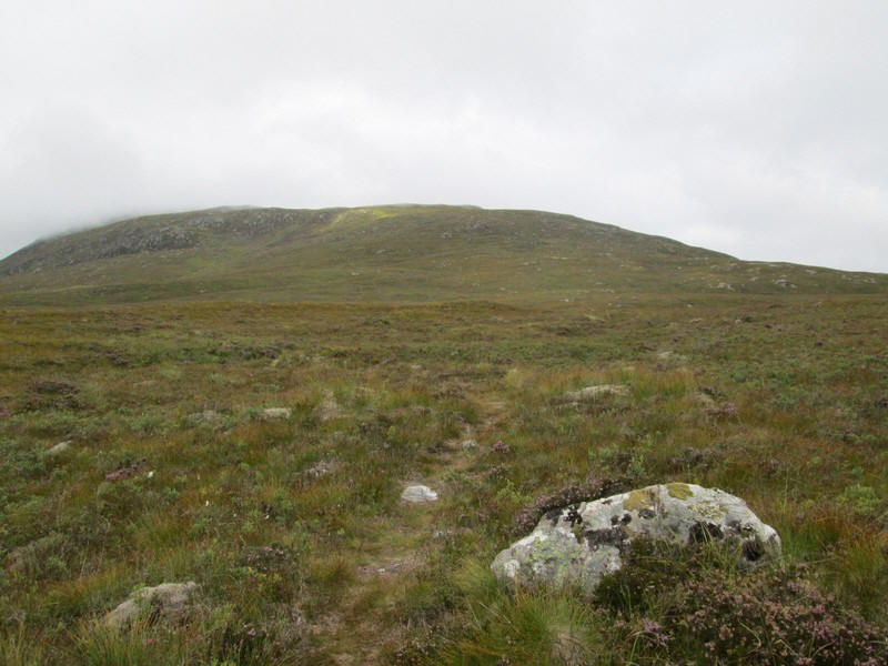
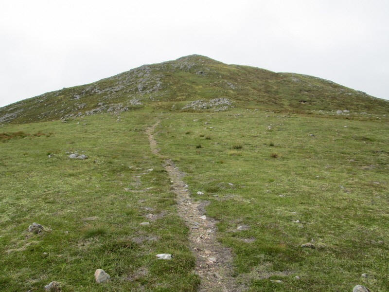
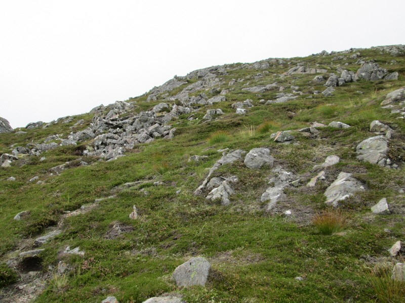
The track heads towards the slightly steeper slopes at the head of Coire Buidge.
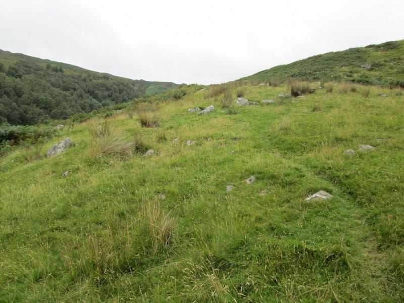
In places the track becomes indistinct but the final approach to the ridge is clear enough.
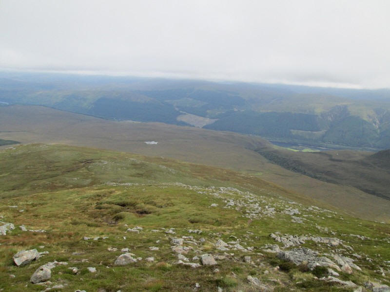
I'm still below the cloud level at about 800m on the eastern ridge of the hill so....
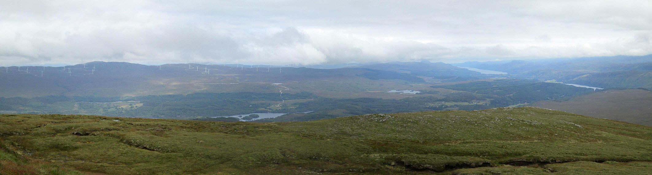
......I took a series of photos to give a panoramic view looking over Loch Garry with its small islands, then the small Loch Lundie and on the far right Loch Oich in the Great Glen and in the distance Loch Ness.
Click on the photo to see a larger image and then click again to enlarge the photo to full size.
As the summit is approached the ground becomes stonier...
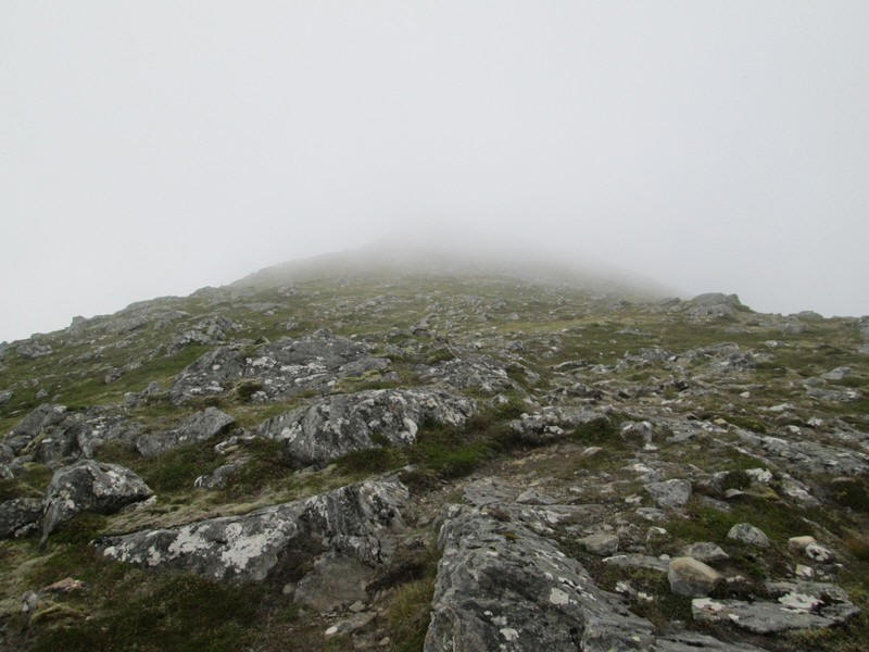
.....and the mist drifts in.
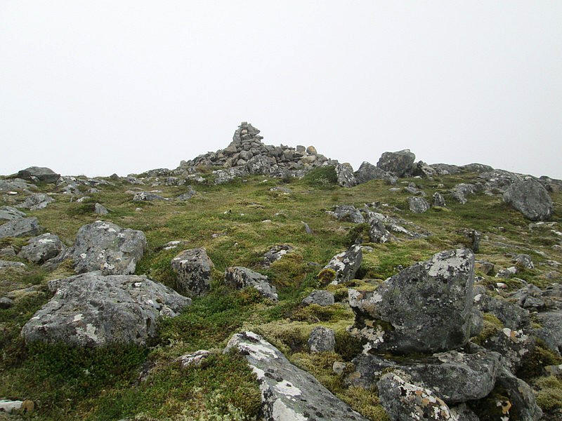
Ben Tee has a substantial cairn...
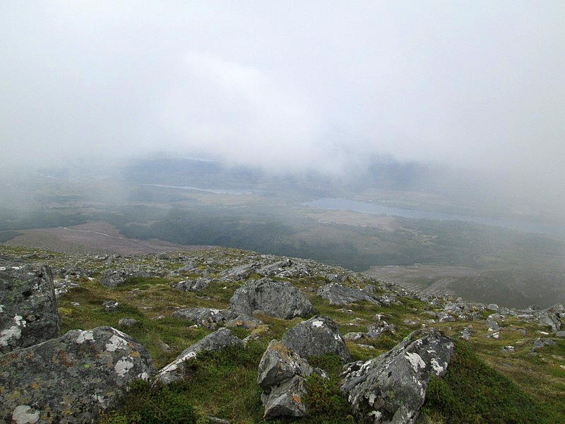
.... but the views were disappointing with this view of Loch Garry being the only one
It had taken me about three and a half hours from Laggan Locks a little longer than expected due to the problems I had at the beginning of the hill walk.
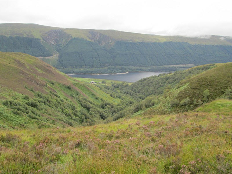
Heading back down the hill I decided to walk away from the track for mostof the distance simply heading towards the bend in the Kilfinnan Burn.
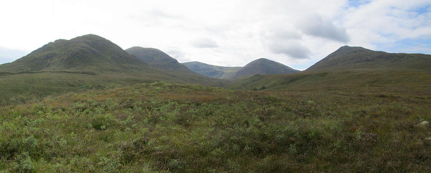
This panoramic view shows the horseshoe of hills surrounding Coire Glas. From left to right:
Meall nan Dearcag (693m), Sean Mheall (888m), Sron a' Choire Ghairbh (937m), Meall a Choire Ghlais (901m) and Ben Tee (904m)
Click on the photo to see a larger image and then click again to enlarge the photo to full size.
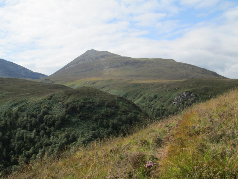
A final view of Ben Tee now completely clear of cloud!
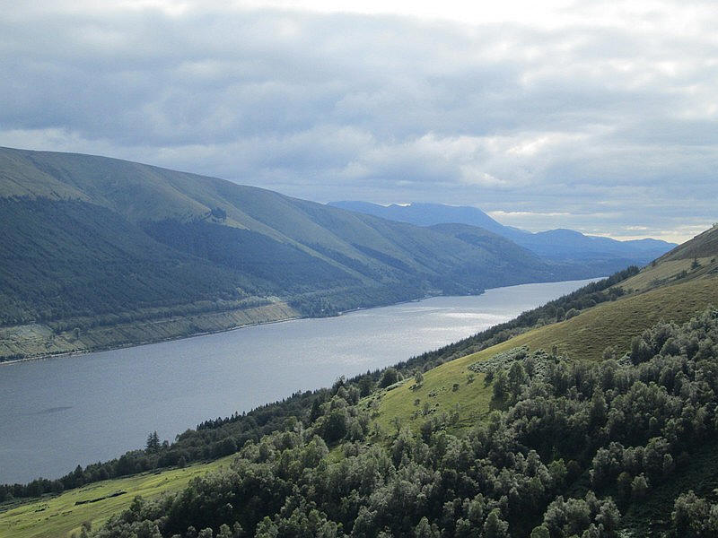
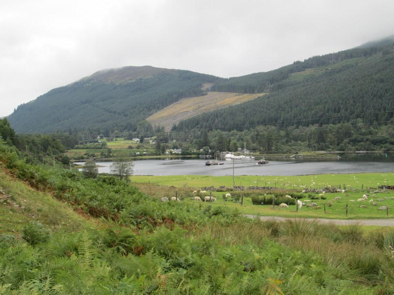
Looking south west along Loch Lochy with Ben Nevis and Aonach Mor in the distance. On the far side of the loch the course of the old railway from Spean Bridge to Fort Augustus can be seen.
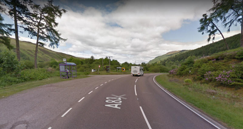
The photo from Google Streetview shows the bus stop at Laggan Locks looking towards Inverness with the Fort William direction behind the camera.
The situation with the bus stop at Laggan Lochs remains as confusing as on my last visit. The driver on the bus from Fort William told be I should stand in front of the bus shelter (which is on the opposite side of the road to the Fort William direction and put my hand up when the bus appears. The bus then pulled across the road and into the layby. Nobody seemed to know what to do if another vehicle blocked the view! As it happened at the bus stop were a couple who were walking form Lands End to John o' Groats - in stages of about 12 miles; they were two years into the task!!
We decided that I should stand on the verge on the Fort William side of the road and flag down the bus while they stood by the shelter. It worked but seems a not particularly sensible way of operation. It's a shame because there is an excellent service between Fort William, Skye and Inverness along this road.
If using public transport to this point for the two Munros and Ben Tee I would be inclined to get the bus from Inverness which would eliminate this issue.