Bidean nam Bian
The route shown on this map is taken from my SPOT GPS tracker
Having spent the night at the Clachaig Inn the day's objective was to climb Bidean nam Bian, at 1150 metres the highest peak in Glen Coe. I also hoped to be able to continue on to the second Munro of Stob Coire Sgreamhach.
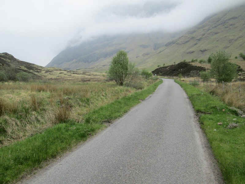
The closest approach from Clachaig is the path that leads up from Loch Achtriochtan. A brisk walk along the lane from the inn to the junction with the A82 goes...
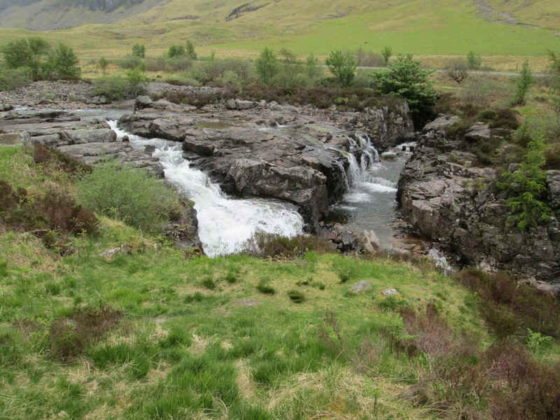
....past these cascades in the River Coe.
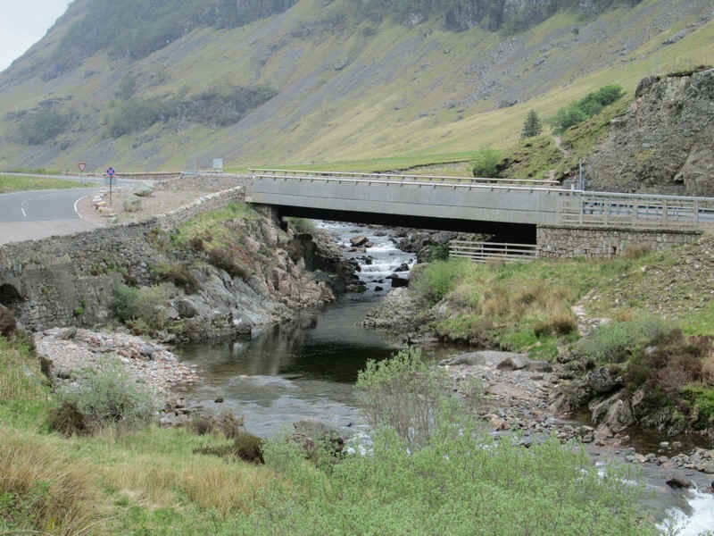
There's a new bridge over the river on the main road...
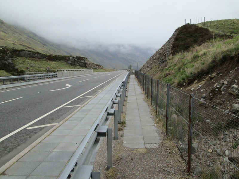
.....where the hill path goes behind the crash barrier to a gate.
The path leads directly onto the hillside - no long walk in on this walk!
From this point I've decided to include photos taken on both the uphill and downhill walk to illustrate the route as low cloud on the way uphill made photography pointless. I've used (up) and (down) after the captions to clarify when the photo was taken.
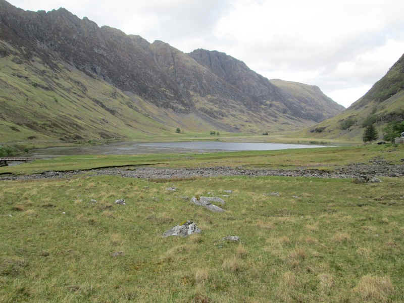
Loch Achtriochtan and the Aonach Eagach ridge (down)
There's a well made path to start with. (up)
Looking towards the first waterfall. (down)
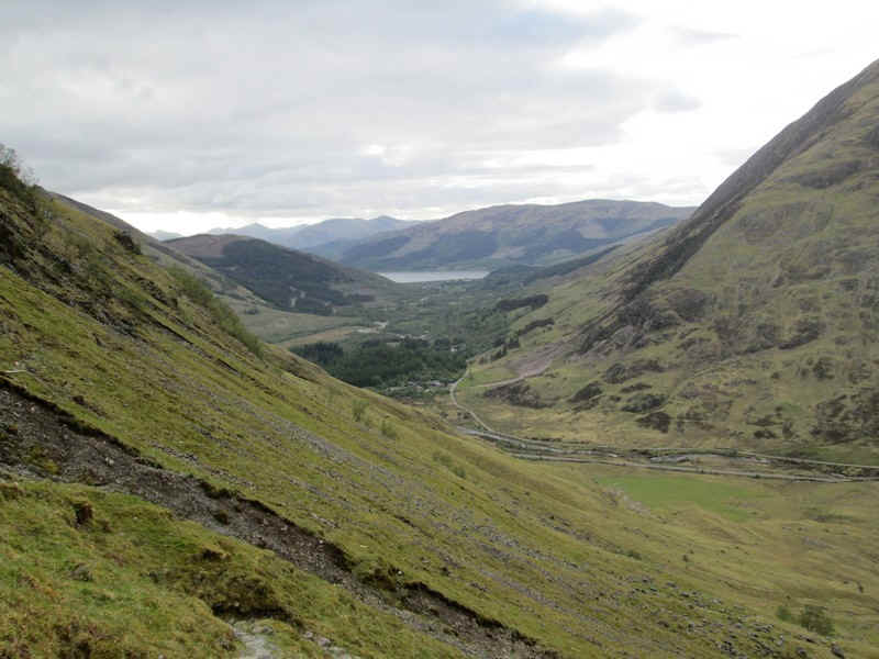
The view back to Glencoe village and Loch Leven. (down)
The path heads straight for this rock formation which requires a scramble to the right and then across a rocky ledge. On my way down I avoided this section by dropping down the hillside and crossing a stream. (up)
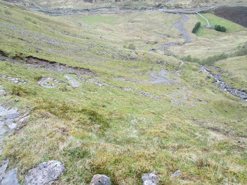
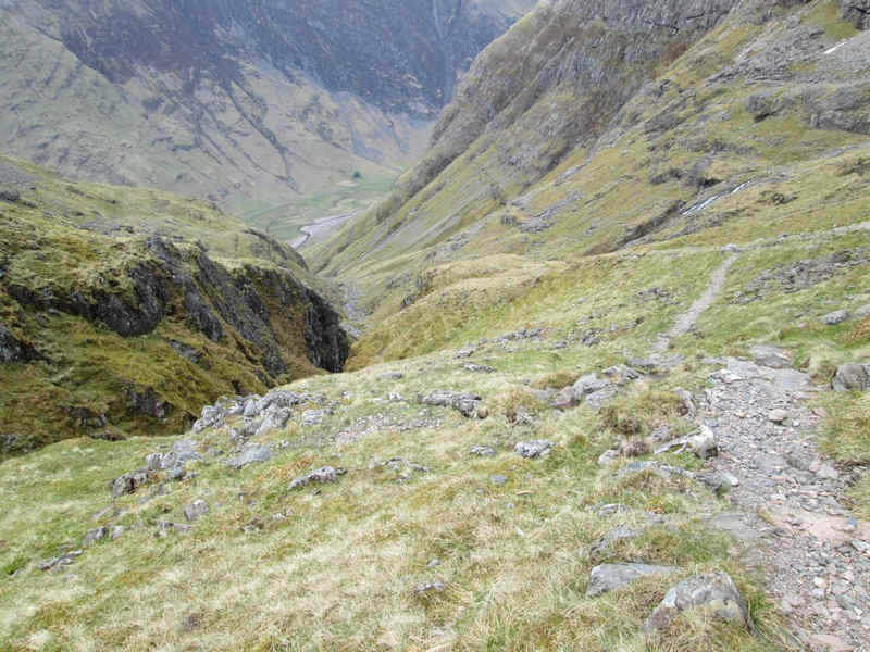
Looking back downhill to the start of the walk. (down)
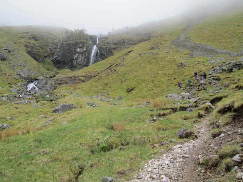
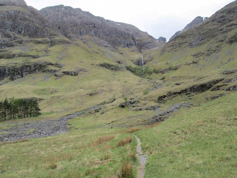
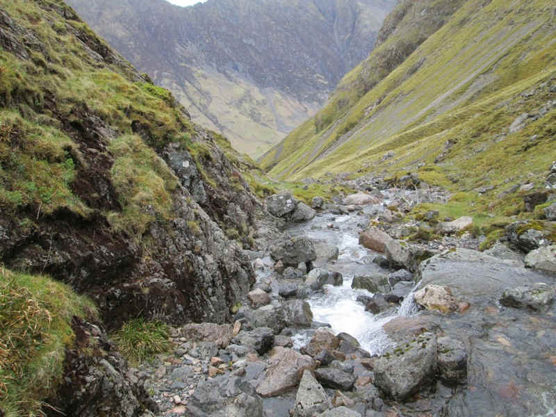
With this first obstacle overcome, the path heads up past a waterfall..(up)
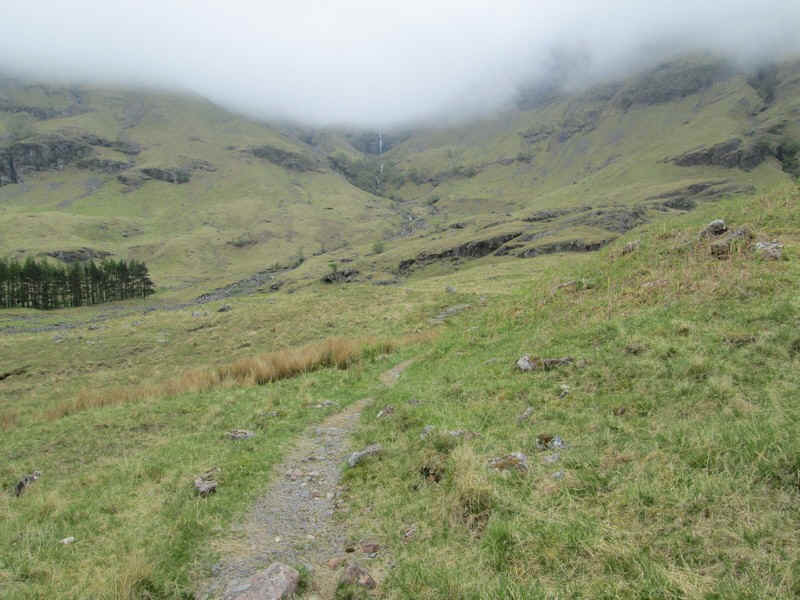
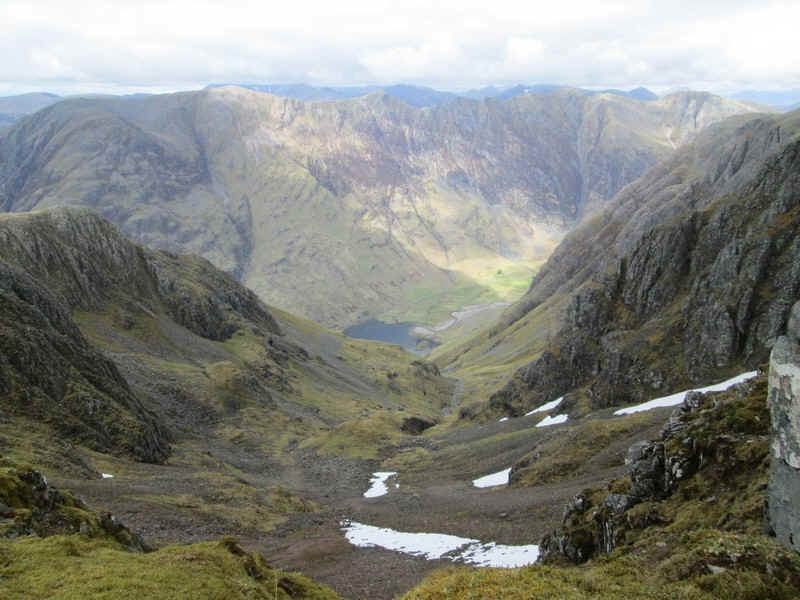
The initial objective of the walk to Bidean nam Bian is to reach the ridge at the Bealach An t- Sron which can be seen straight above the path. Stob Coire nam Beith (1107m) is to the left and will be crossed on the way to Bidean nam Bian. (down)
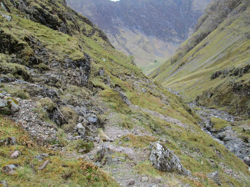
Looking back into Glen Coe. (down)
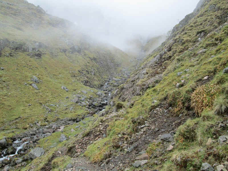
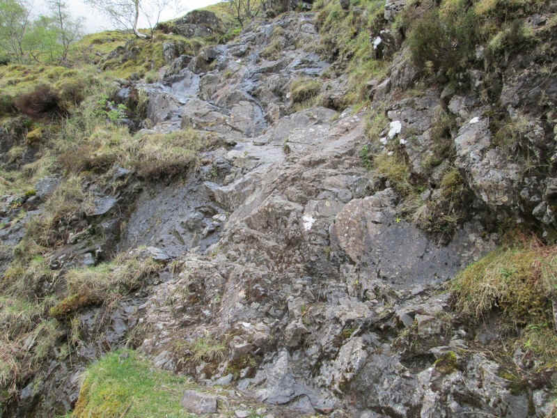
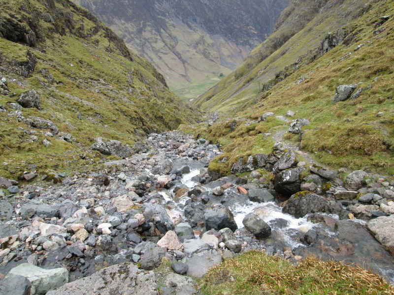
The path now arrives at a ravine where the reconstructed path promptly disappears and it's a horribly eroded scramble down to the stream. (up)
To make matters worse having got down to the stream there is simply no path....(down)
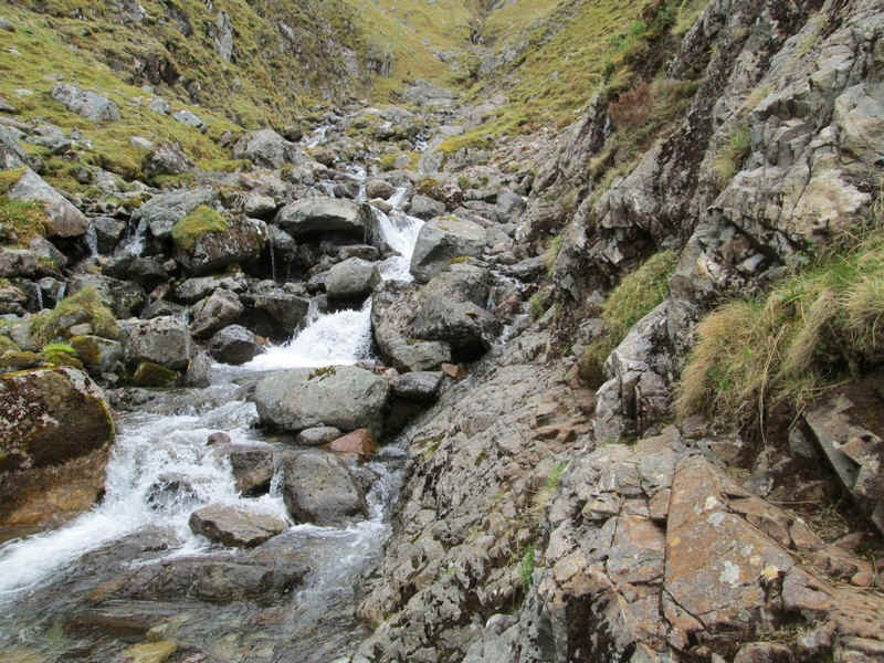
The choice was to:
Try to cross the stream and work up the far bank, knowing I'd have to cross back again higher up.
Scramble along the damp rock at the bottom - given that there didn't seem to be any decent hand/ feet holds that didn't look to be too appealing.
Try to find a way forward by climbing up the hillside and work around the obstacle. This was what I did although it took a surprising amount of time to do this safely.
Given the amount of time and cost that has been spent on this path both before and after the ravine, I'm surprised that no attempt has been made to construct a path around this section, possibly up the hillside.
The problem area is little more than a few metres long and on the way back down I decided to risk falling in the water. In spate conditions or when the rock is slippery or icy it could be risky to attempt it. (down)
Beyond this gully there's another scramble up the hillside on an eroded path whic ..(down)
......led to a stream junction where..(down)
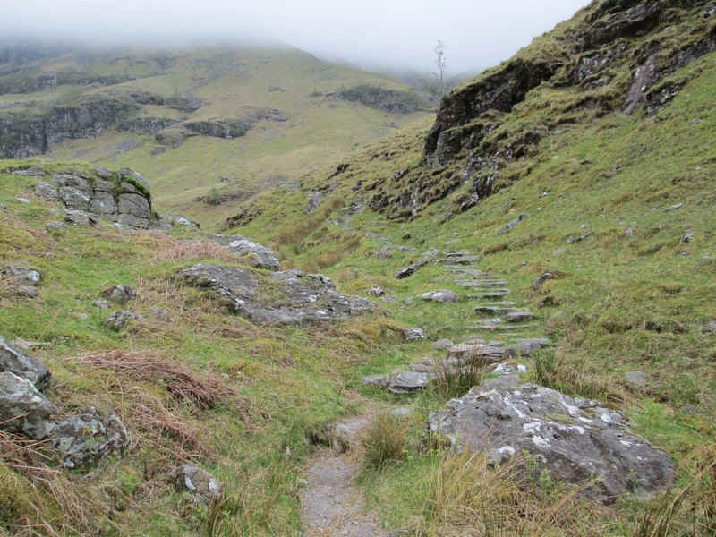
.....the well built path reappeared. (down)
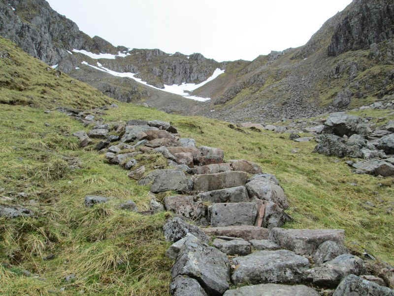
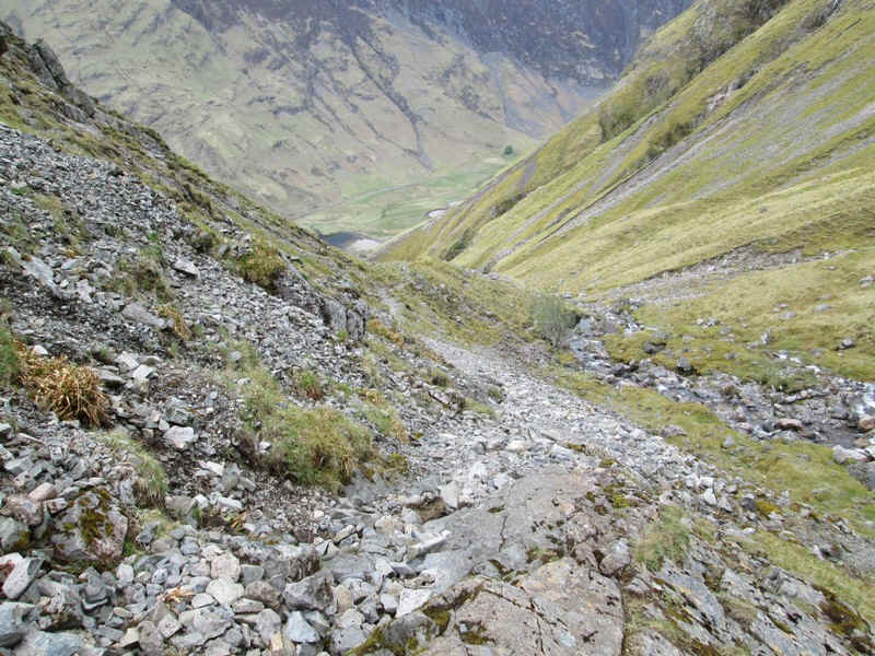
Clearly a lot of effort has gone into this path..
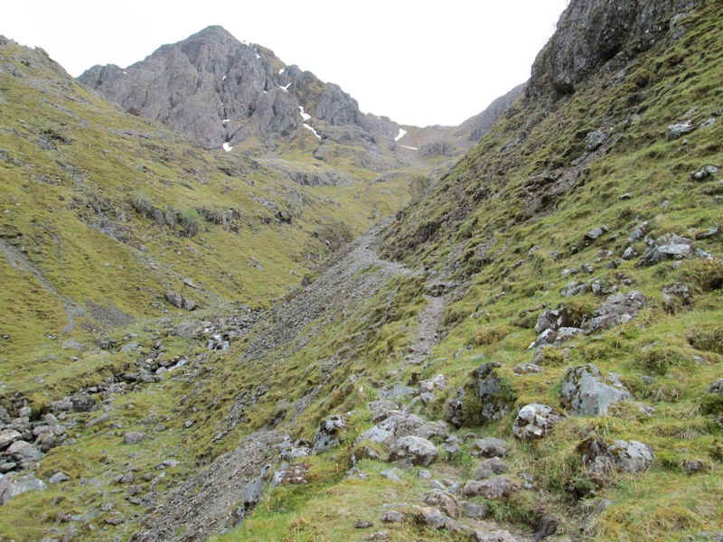
.....as it heads for an enormous area of scree at the head of Coire nam Beithach
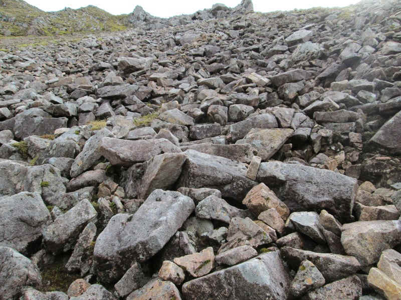
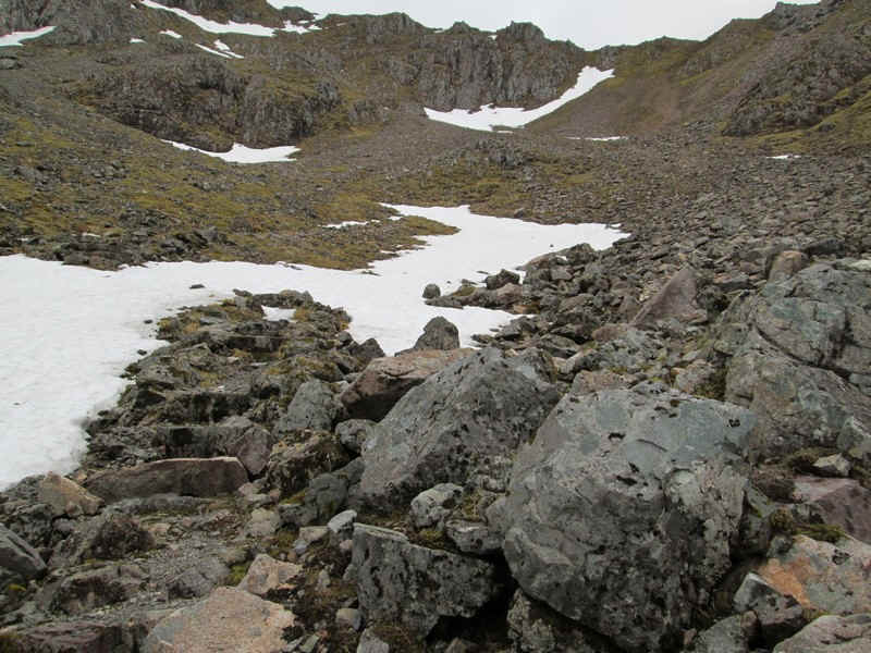
Amazingly, there is an absolutely clear track through the rubble..
....right up to the bealach. (down)
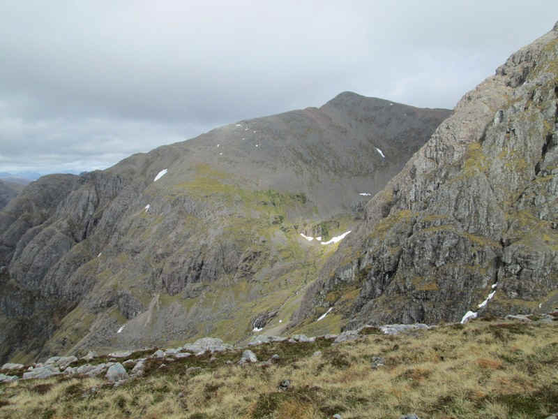
Over to the east is the Bidean nam Bian's subsidary peak of Stob Coire nan Lochan (1115m)
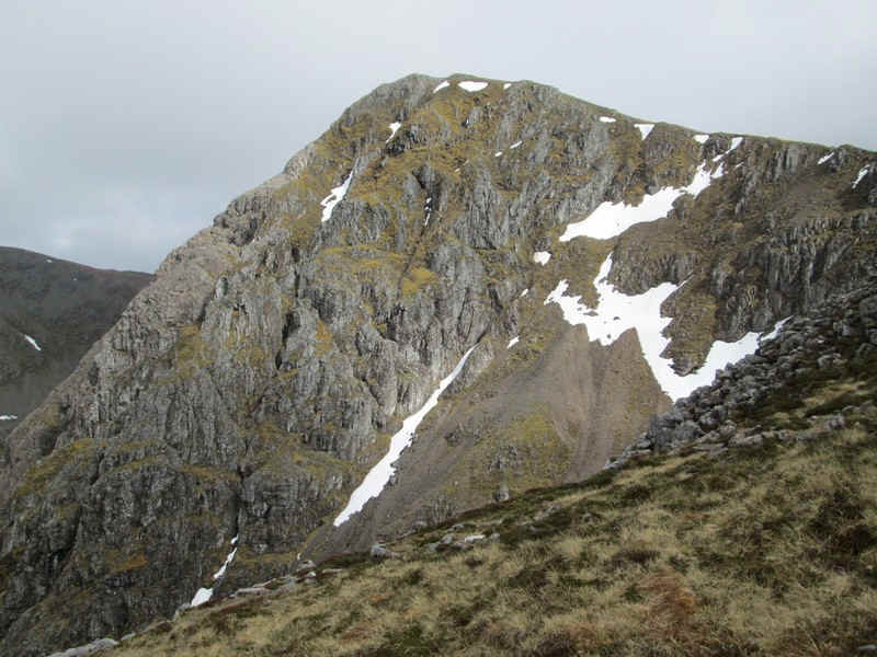
The cliffs on the side of this mountain have some interesting horizontal fissures.
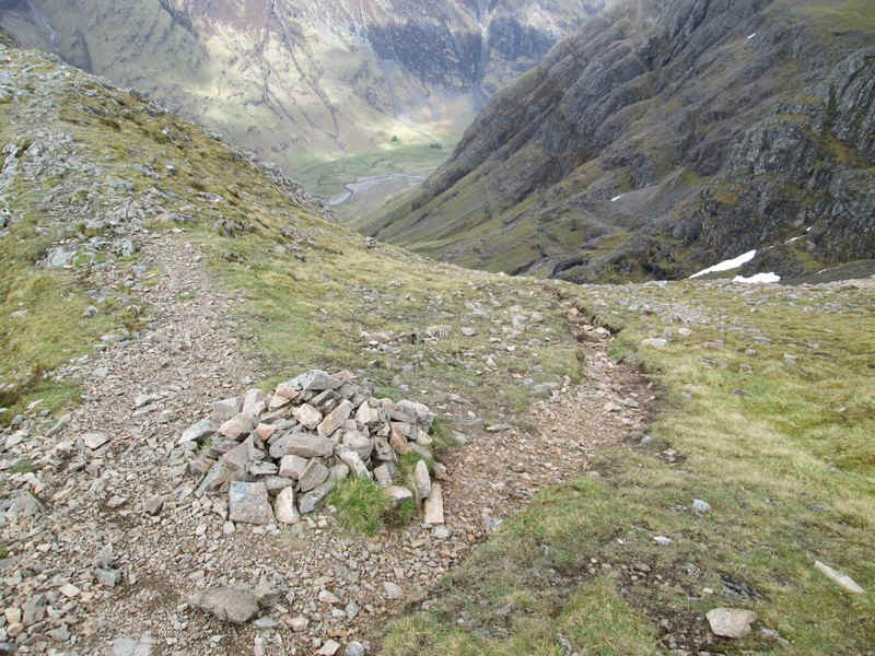
The path junction at bealach is marked by a small cairn.
Looking down on to An-t-Sron from the path junction. (down)
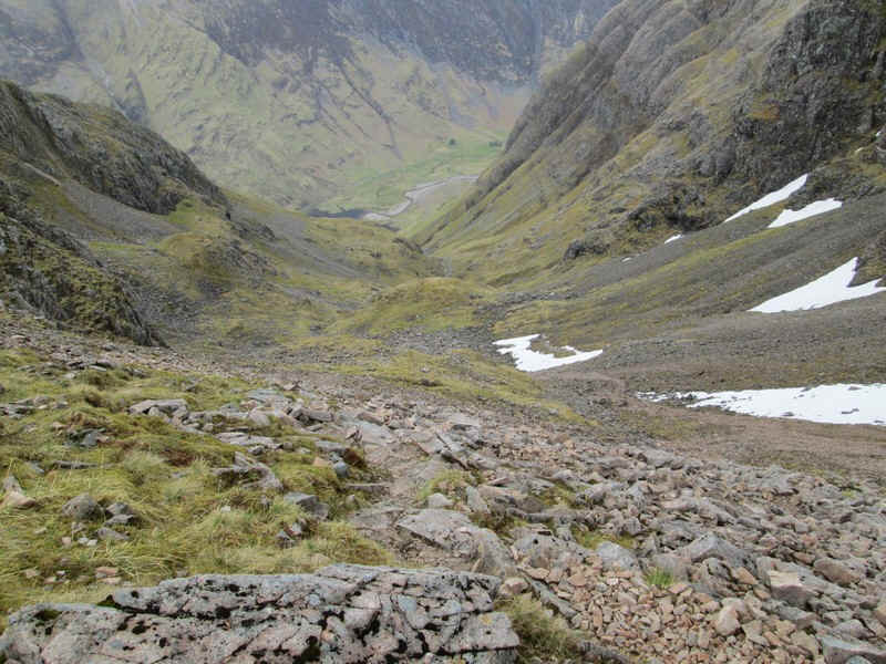
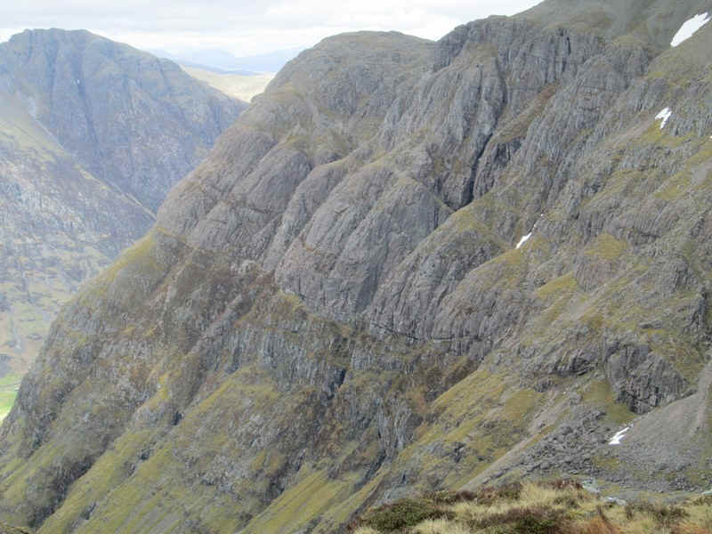
Looking down Coire nam Beithach
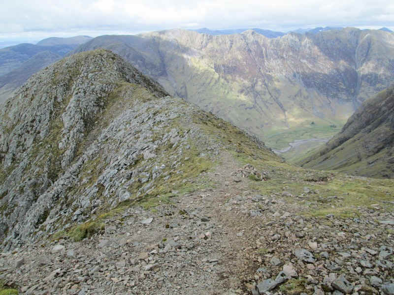
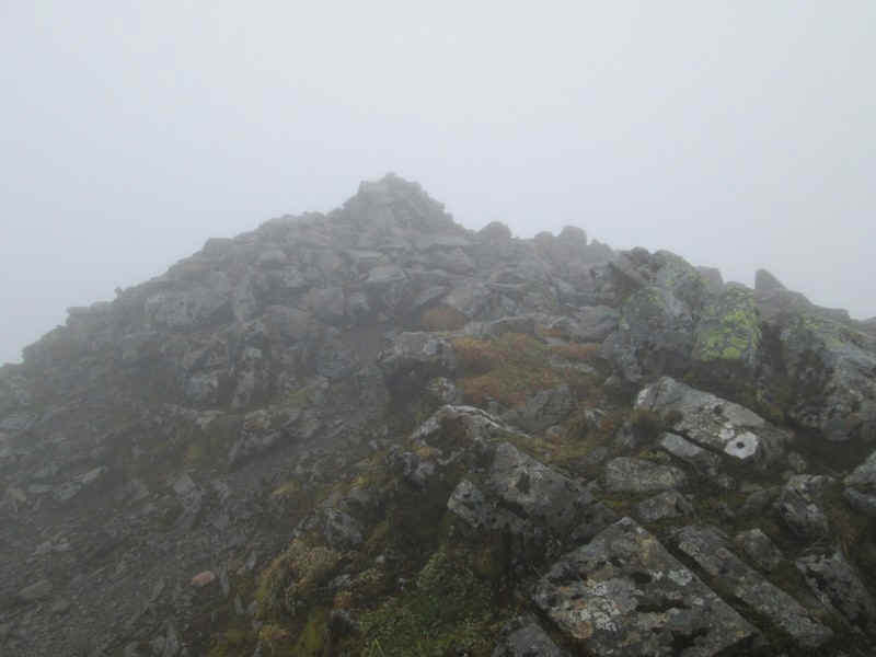
From the bealach the first task is to climb to the summit of Stob Coire nam Beith. (down)
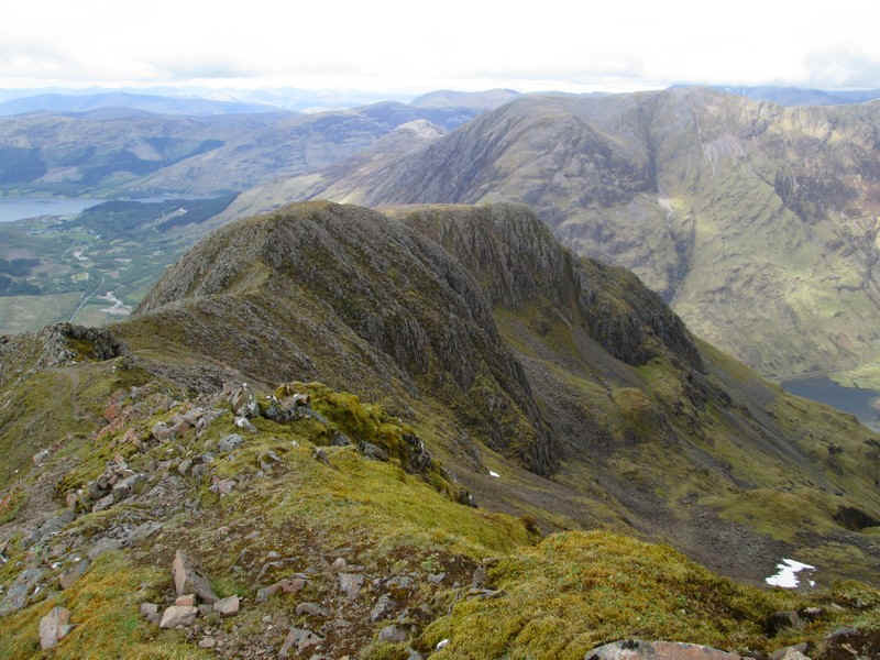
Looking back down to the bealach and An-t-Sron. (down)
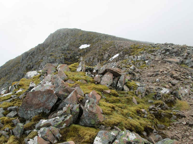
There's a clear path largely across scree and rocks to the summit. (down)
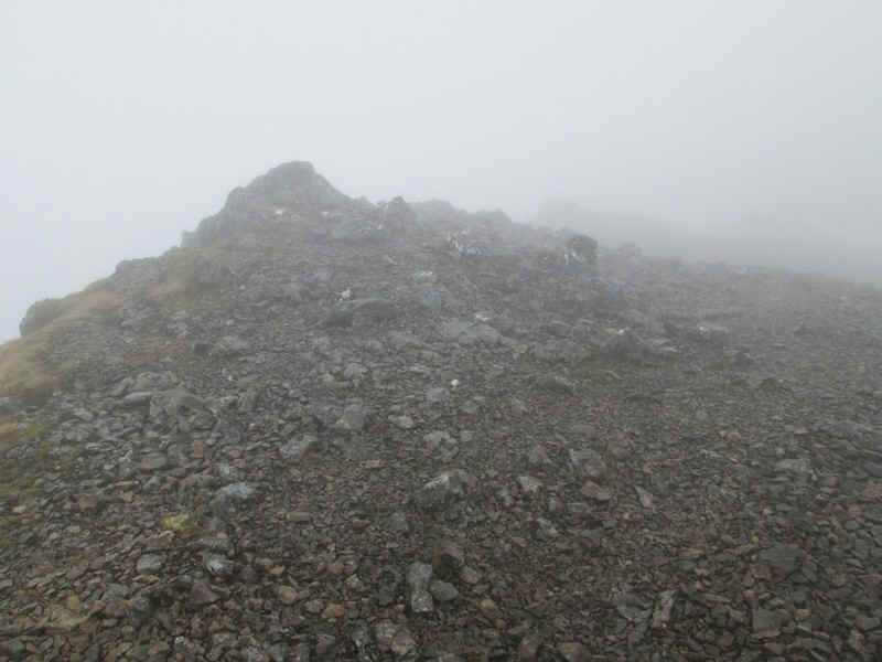
....where this rock appears to be the summit. (up)
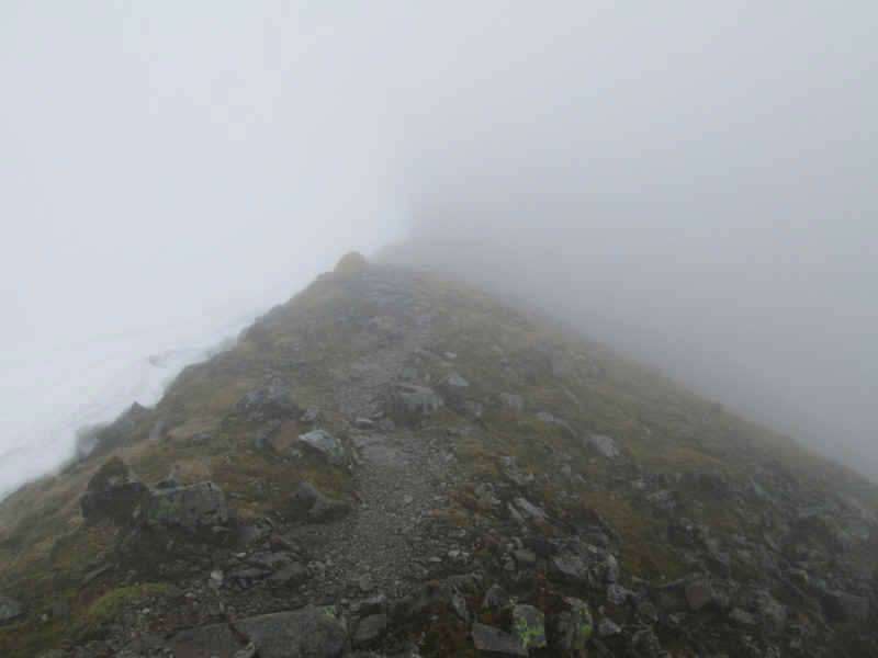
In places there's a path across a narrow ridge which is clearly a little exposed. In the mist and with great banks of snow on the north side this wasn't as apparent as I suspect it would be normally. (up)
My intention on raching Bidean nam Bian's cairn was to continue to the next Munro but my progress had been slower than expected and although I set off down the ridge I was clearly running out of time to get back to the Clachaig Inn in time for a meal. So after a few minutes I decided to turn back. Stob Coire Sgreamhach can wait! (up)
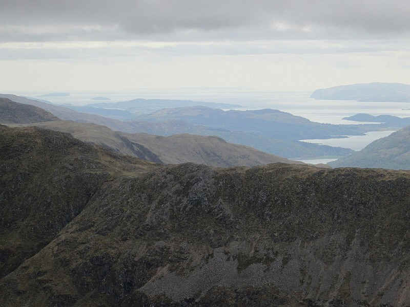
Having resigned myself to no views it was delightful when as I dropped down from the summit of Stob Coire nam Beith the clouds lifted slightly giving some extensive views. Just visible on the horizon is the island of Colonsay with Lismore in the centre, whilst the cliffs at the south of Mull are clearly visible.
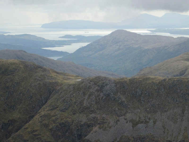
The hills of Mull and a ship awaiting loading at the Glensanda quarry is anchored in the Firth of Lorne. (down)
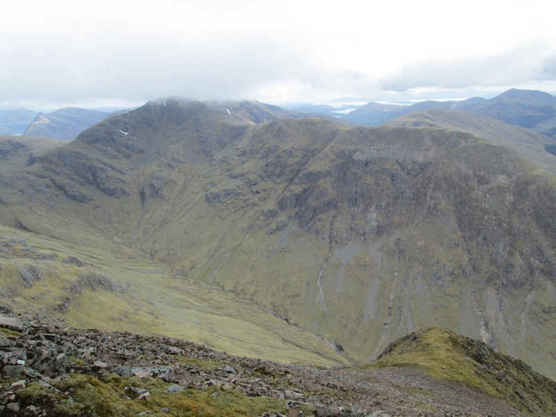
Over to the west is Sgor na h-Ulaidh which I'd climbed the day before in brilliant sunshine. (down)
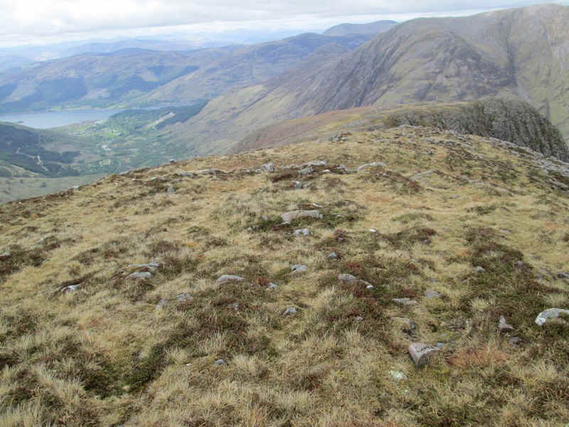
Before returning downhill I decided to walk out on to An-t-Sron to see if there was a way of this ridge into Glen Coe rather than using the way I'd come up but decided to return by my outward route. (down)