Binnein Mor and Na Gruagaichean
The way points are taken from my SPOT GPS transmitter
For my third day's walk from Kinlochleven, in May 2012, I decided to climb the last two hills in the Mamore group that I hadn't climbed - Binnein Mor and Na Gruagaichean.

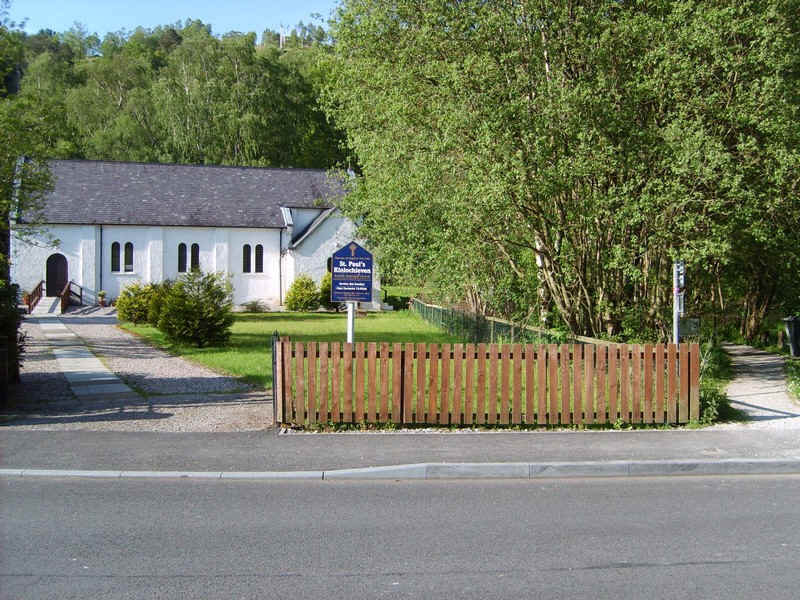
Starting near the church the path to the Grey Mare's Tail waterfall...
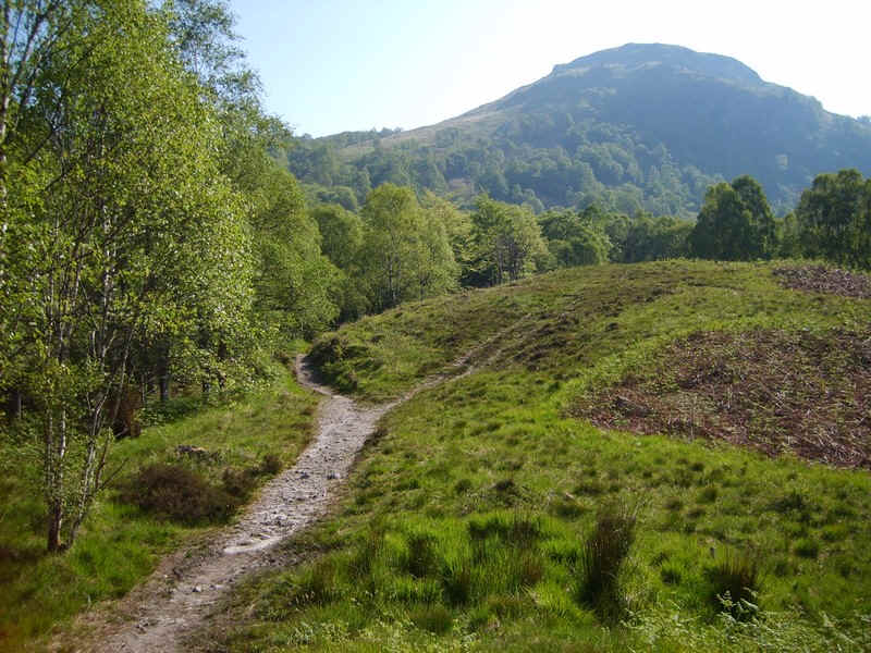
.....climbs through the woods...
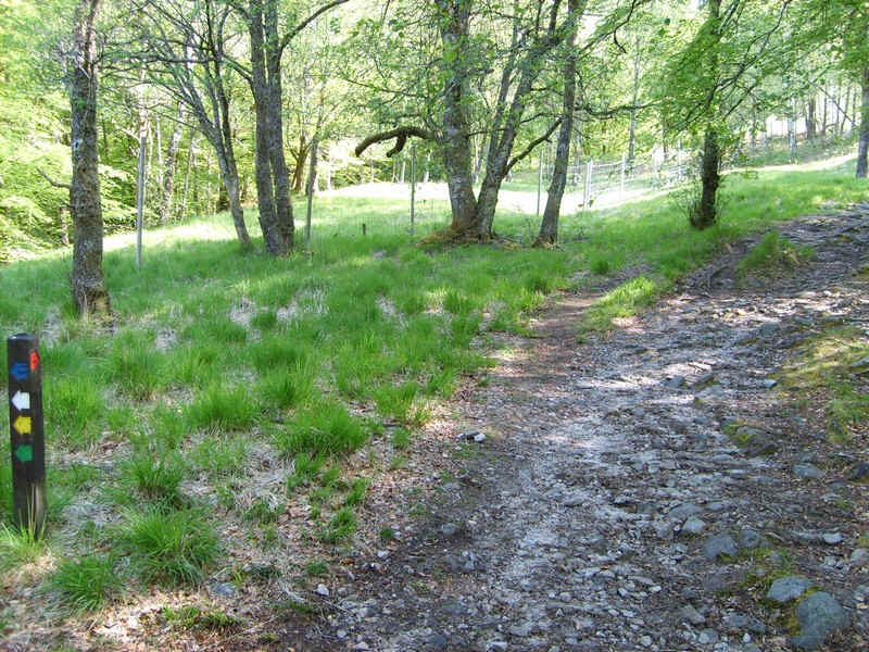
....with the red way mark signs pointing the way to the hills.
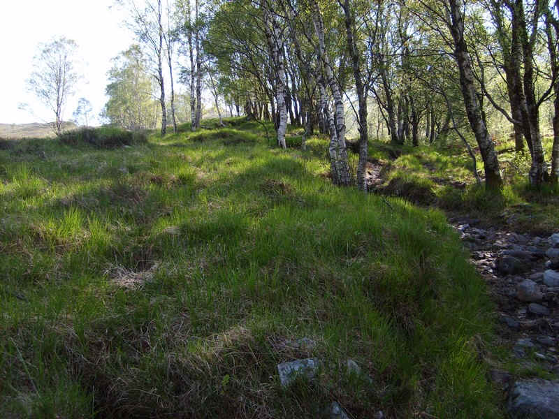
It is an extremely rough track in places and not the most pleasant climbs on a hot morning.
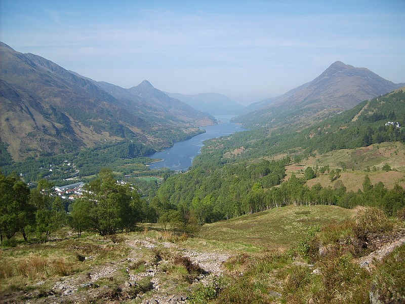
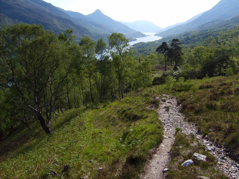
The reward is this view back down Loch Leven.
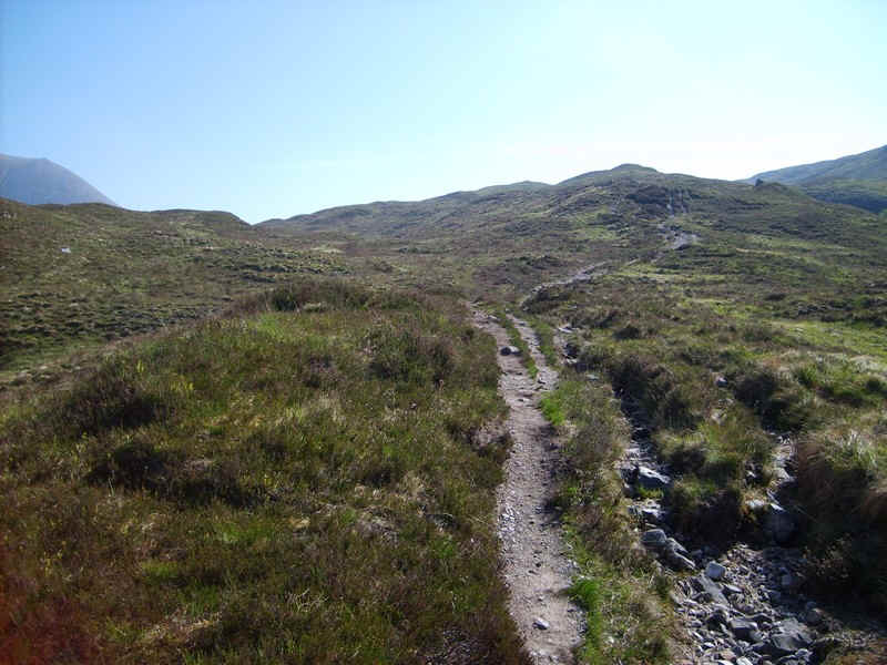
Once out on the open hillside things improve....
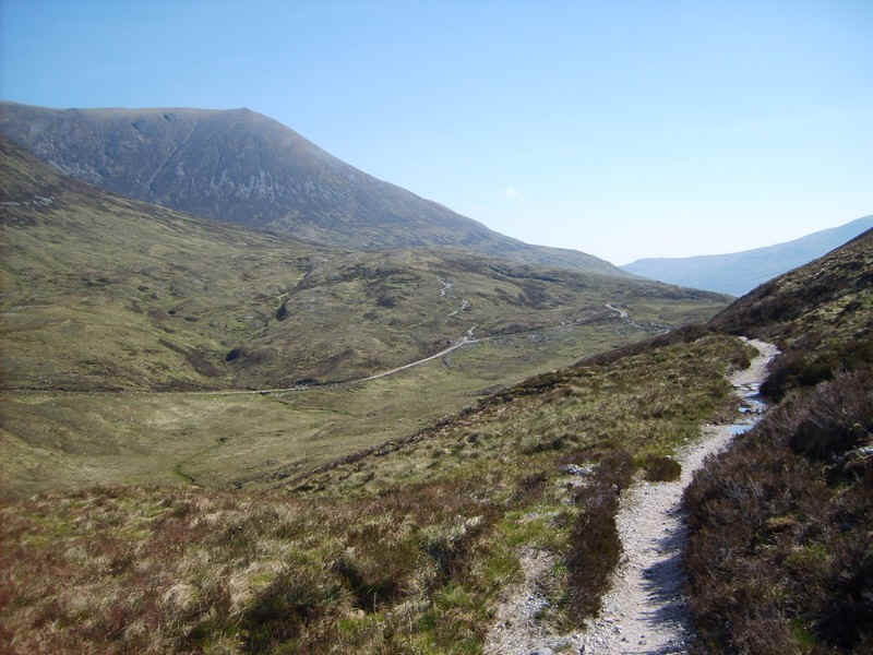
....and there's a smooth and almost level path that leads towards the vehicle track from Mamore Lodge.
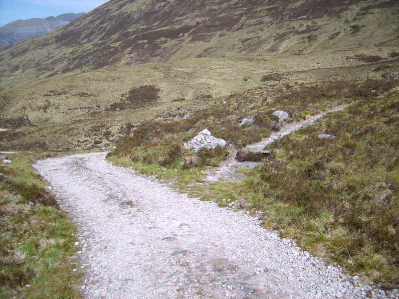
The hill path leaves the vehicle track...
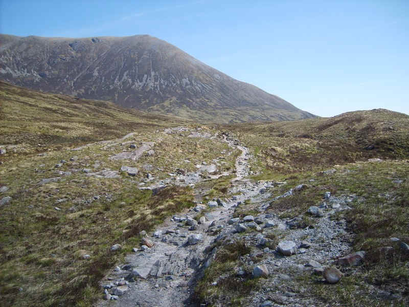
.....and starts to climb towards the slopes of Sgor Eilde Beag, the day's first objective.
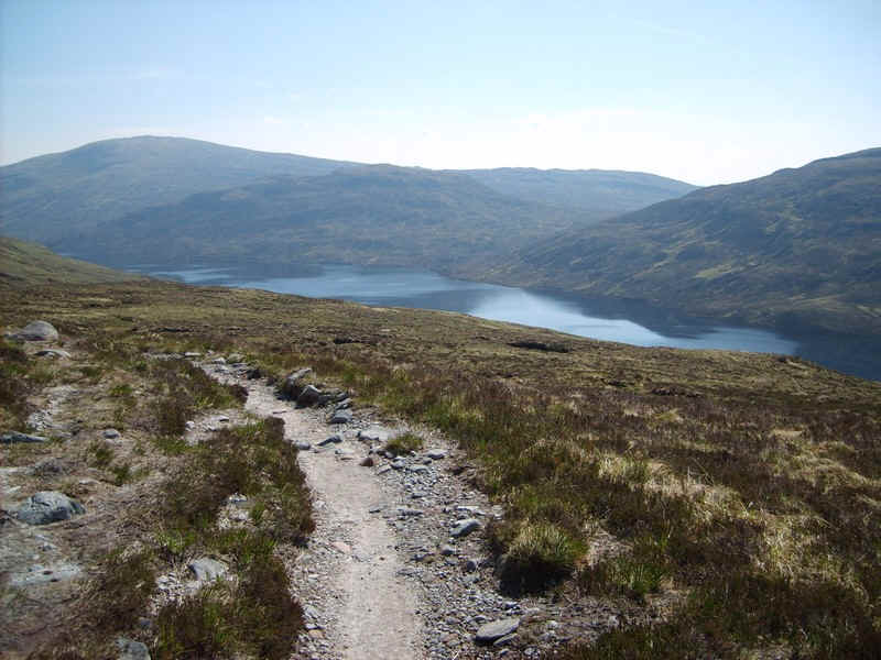
Over to the south is Loch Eilde Mor.
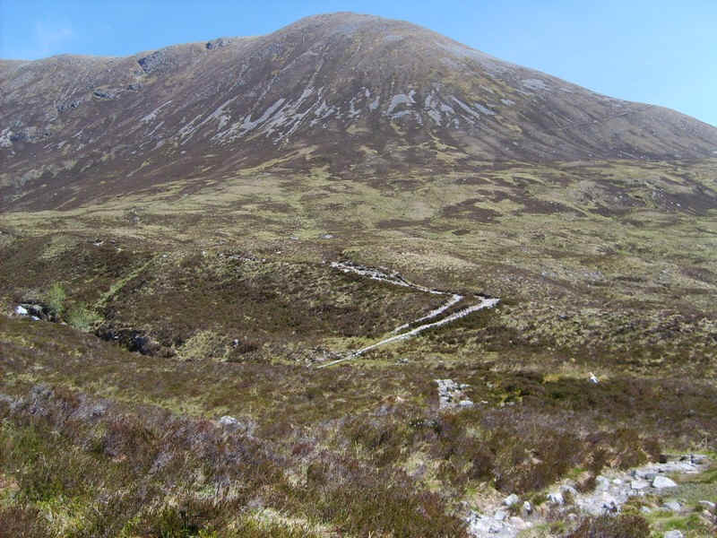
The path winds uphill.....
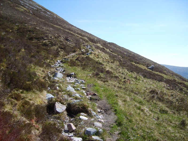
.....and then heads directly up the hill slopes......
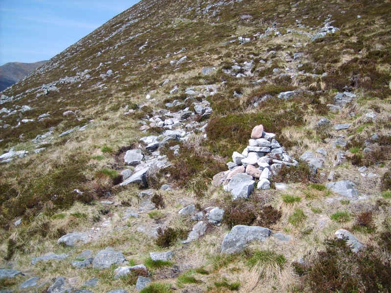
......to reach a cairn where a path leads off to the left. The path doubles back uphill in a series of zig zags at this point.
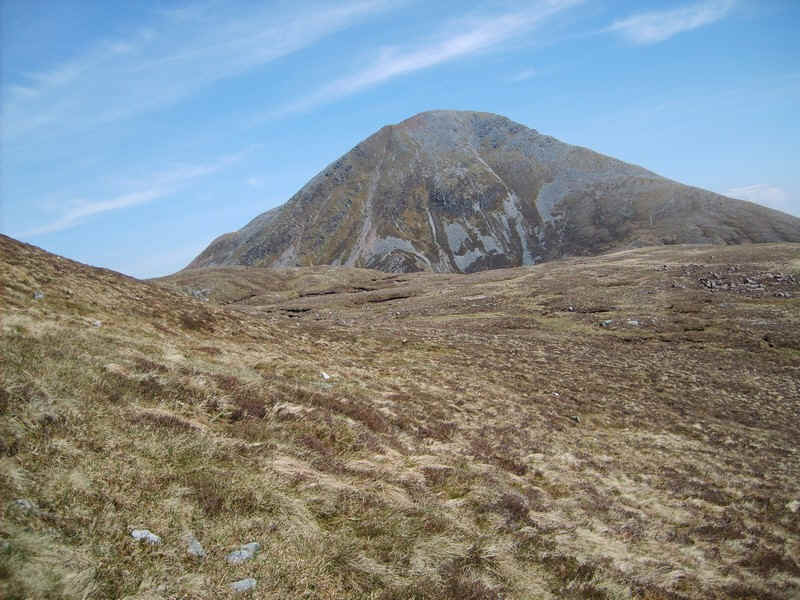
Ahead can be seen Sgurr Eilde Mor.
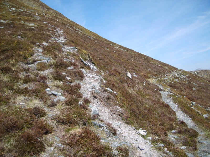
A rough track leads off up hill to the left away from the main path - this cuts off a corner but I decided to continue a little further..
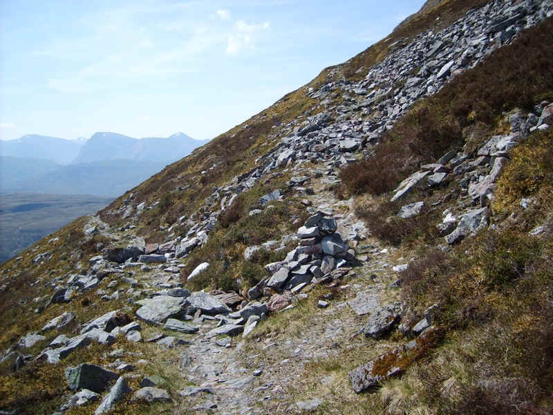
.....to a cairn where the main stalker's path to Sgor Elide Beag trails in.
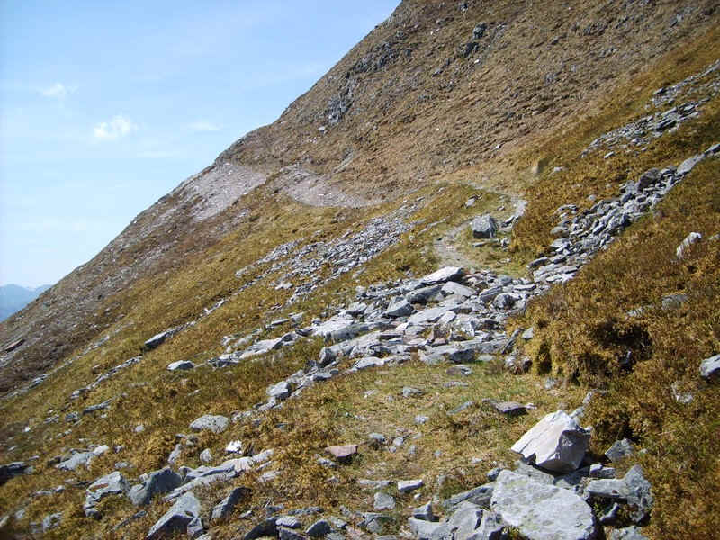
Apart from this slightly eroded section over scree, it's an excellent path...
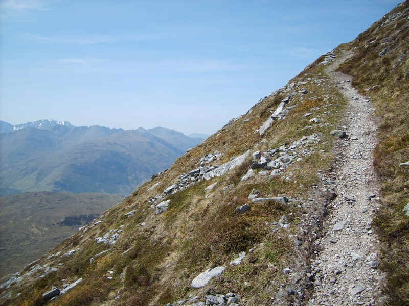
.....which gains height in a series of switchbacks...
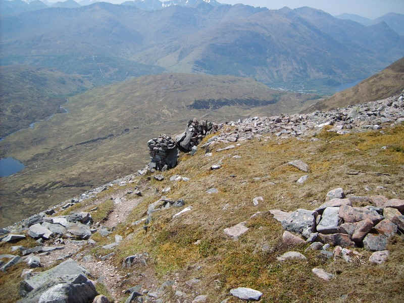
.....to arrive at this cairn which marks the beginning /end of the switchback section.
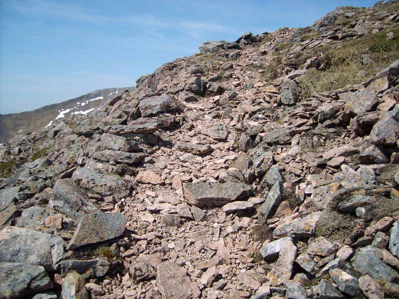
Beyond the path climbs over stones..
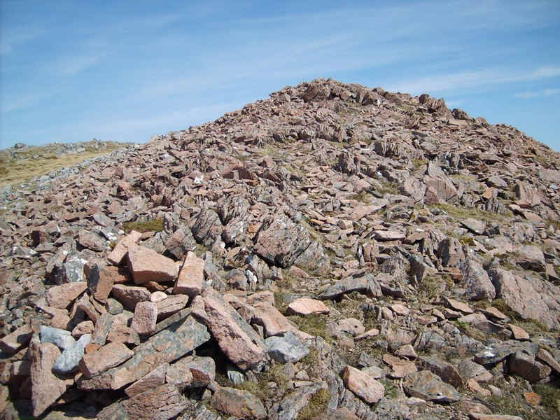
.....to reach the end of the ridge leading to Binnein Beag. This isn't the 956m summit of Sgor Elide Beag but makes an excellent spot for a lunch break.
Ahead is this panorama of the rest of the day's high level walk. Over to the left is Na Gruagaichean, whilst in the middle is the 1062m south top of Binnein Mor and on the right the 1130m summit of Binnein Mor itself.
Click on the photo for a larger image.
There's almost a helicopter view of Sgurr Elide Mor and the lochans in Coire an Lochain. The photo was taken from the edge of the cliffs on Sgor Elide Beag.
Click on image above to enlarge
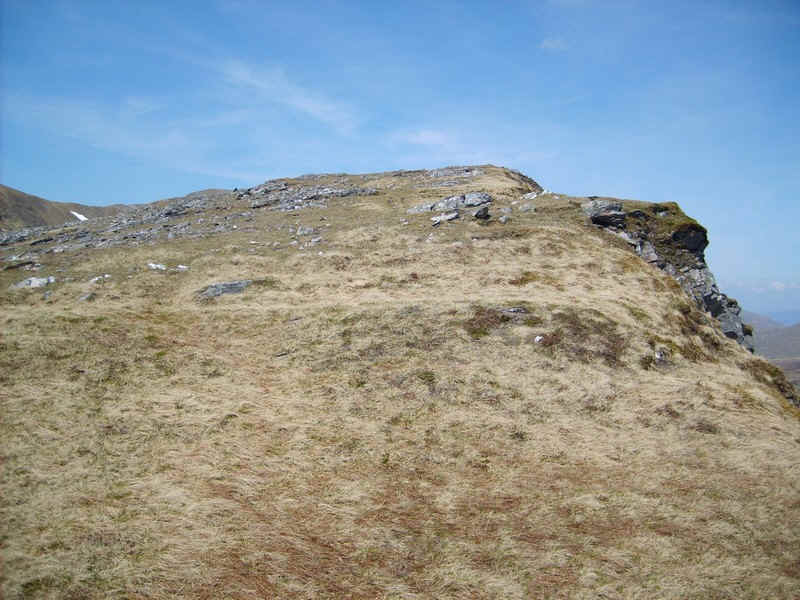
The summit of Sgor Elide Beag isn't particularly exciting...
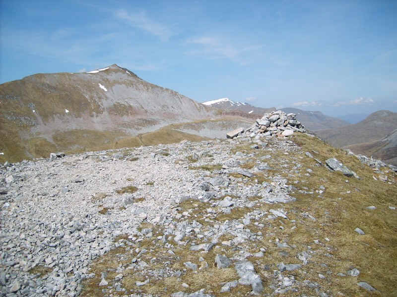
.....but the cairn is perched on the edge of a big drop to the east.
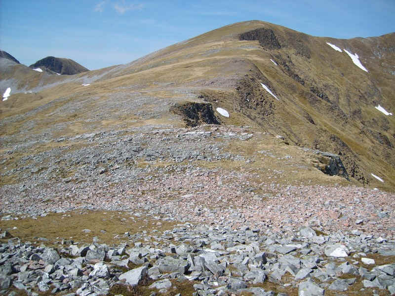
There's a slight drop over stones down to a coll...
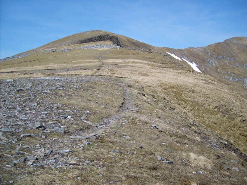
.....followed by a clear path that leads to the south top of Binnein Mor.
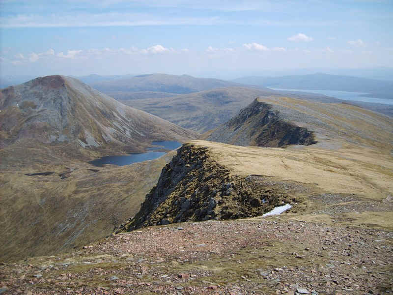
The view back shows the crags along the east side of Sgor Elide Beag.
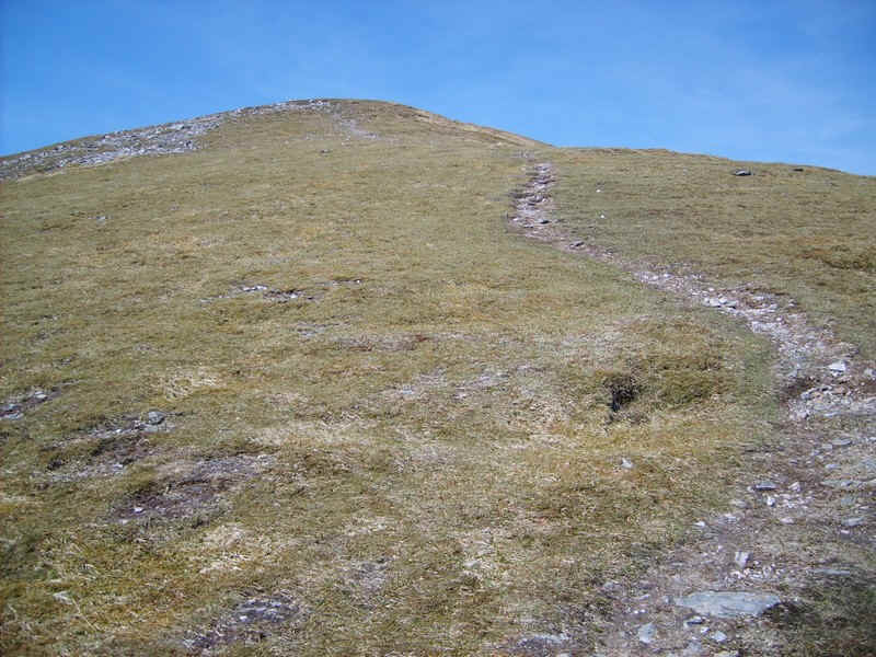
It's an easy walk up to the south top..
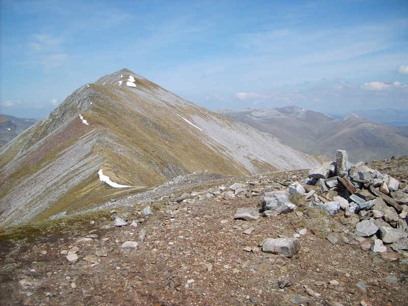
.....with its small cairn and a view of the ridge out to the summit of Binnein Mor.
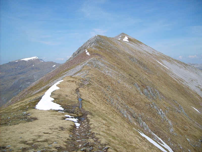
The remnants of the recent snow were still lying in places.
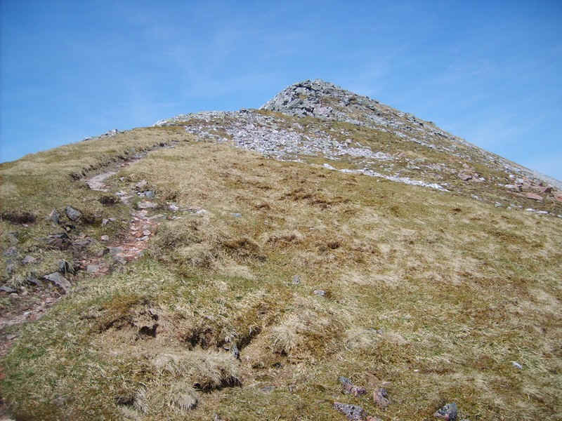
Then it's along the ridge onwards....
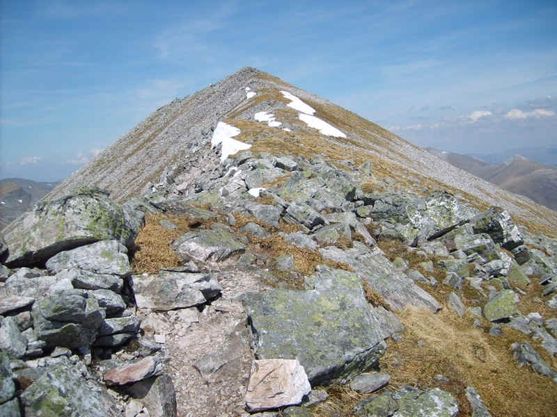
.....and upwards across stones..
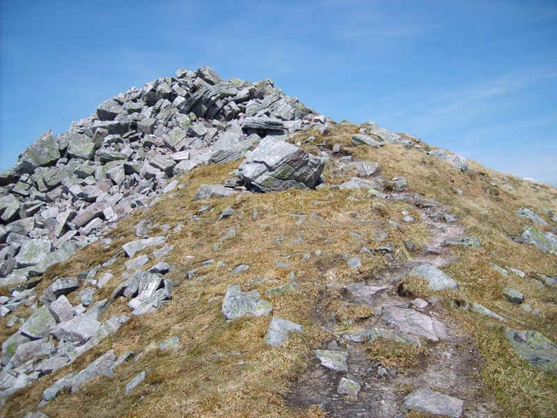
....to the rocky crest..
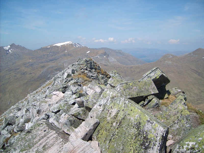
......and the narrow bouldery summit ridge.
The first panorama is over to the west showing the summits (from left to right) of Na Gruagaichean, Am Bodach, Stob Stob Coire a'Chairn, Sgorr an lubhair and An Gearanach. On the right hand side is Glen Nevis with Ben Nevis and Carn Mor Dearg beyond.
Click on the photo for a larger image.
Over to the east (from left to right) are the Grey Corries, with Binnein Beag in front of them. To the right is Sgurr Elide Mor and the lochans in Coire and Lochain.
Click on the photo for a larger image.
Click on the image for a full sized panormaic diagram.
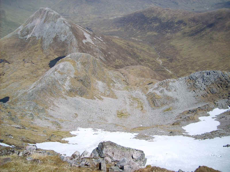
The view from near the summit down into Coire a' Bhinnein with the 943m high Munro Binnein Beag to the left.
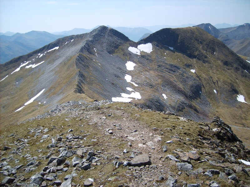
Back at the south top the route on to Na Gruagaichean is obvious, heading straight along the ridge.
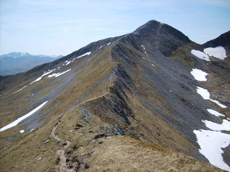
There's a clear path which runs just to the south of the narrow ridge.
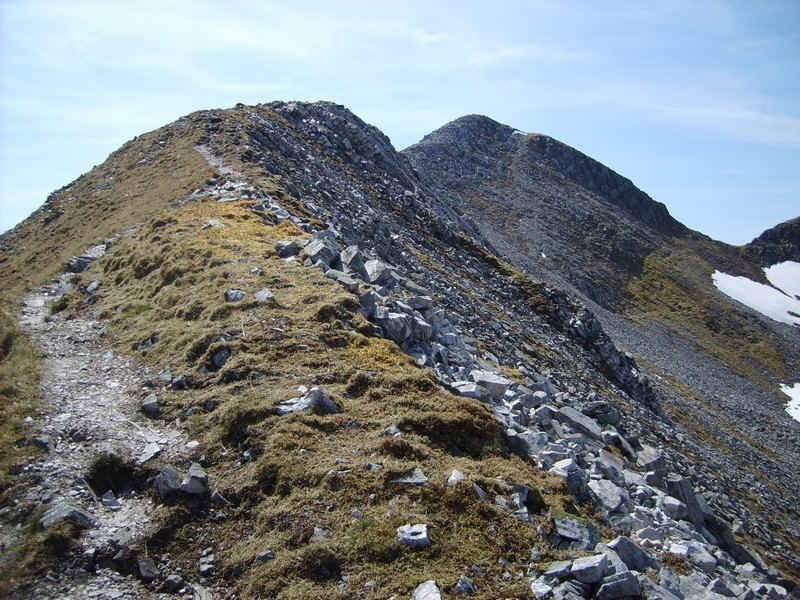
Eventually the climb begins...
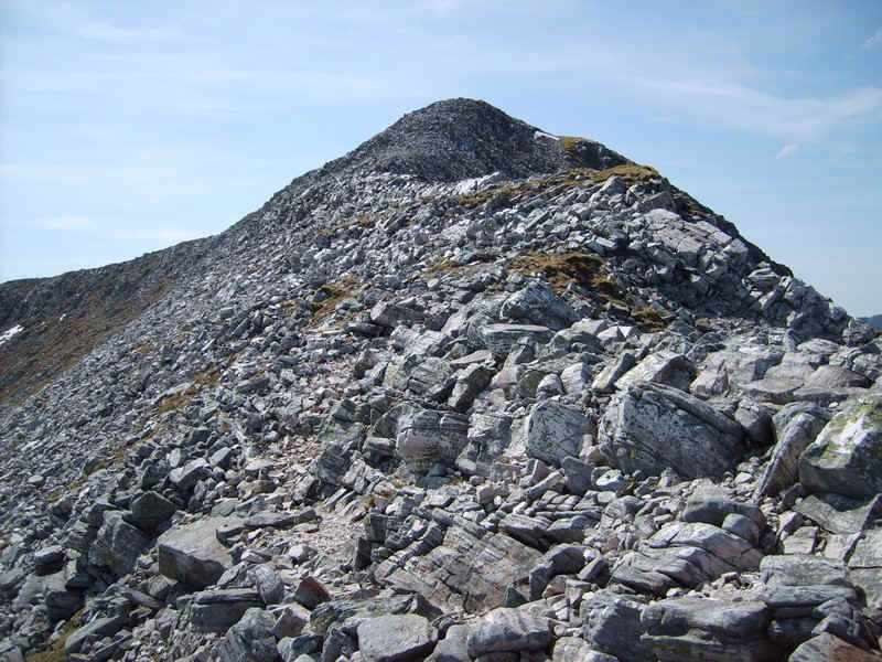
....and becomes very rocky..
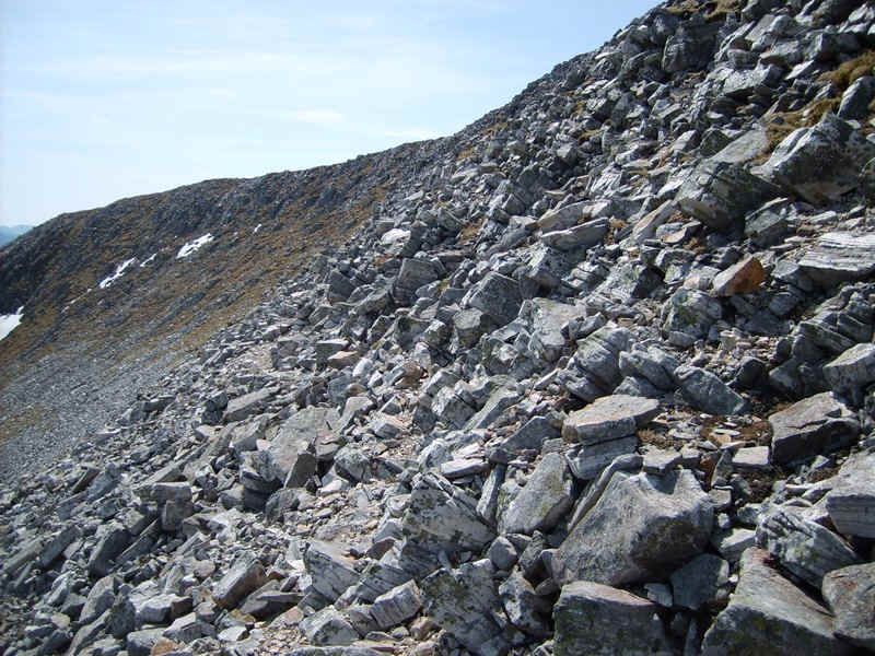
.....but avoids going directly up the crest.
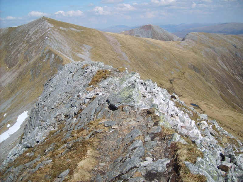
Looking back down the ridge's crest there are obvious opportunities for a little scrambling.....
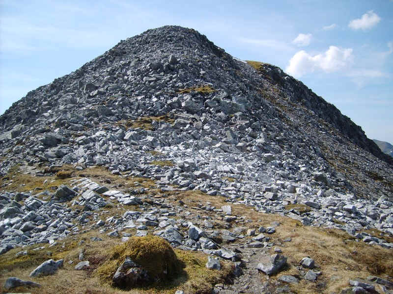
The path finds a way up through the boulders...
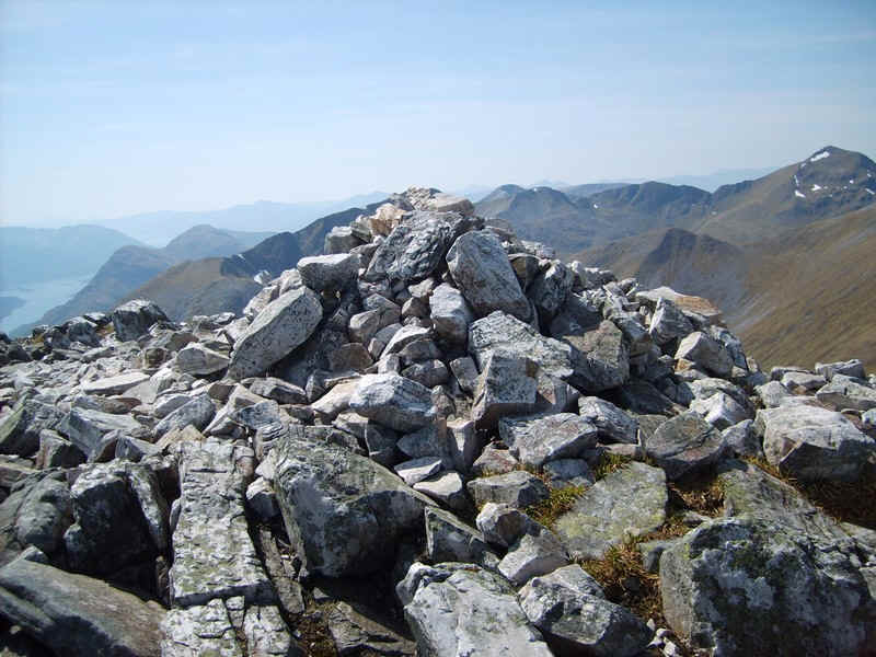
...to reach the summit cairn.
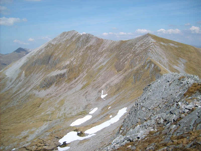
The view from the summit looking back to Binnein Mor.
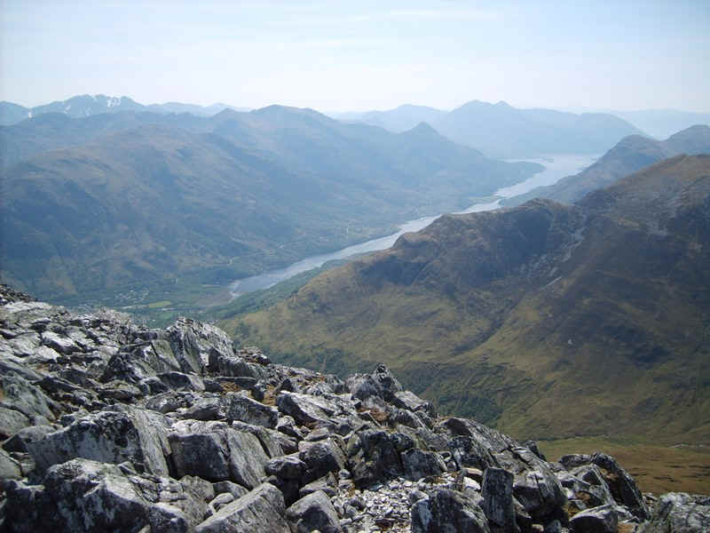
Over to the west is Loch Leven.
This panorama shows (from left to right) Am Bodach, Stob Ban , Sgorr an lubhair, Sgurr a' Mhaim, Stob Coire a' Chairn, An Garbhanach, An Gearanach and in the right foreground the north west top of Na Gruagaichean.
Click on the photo for a larger image.
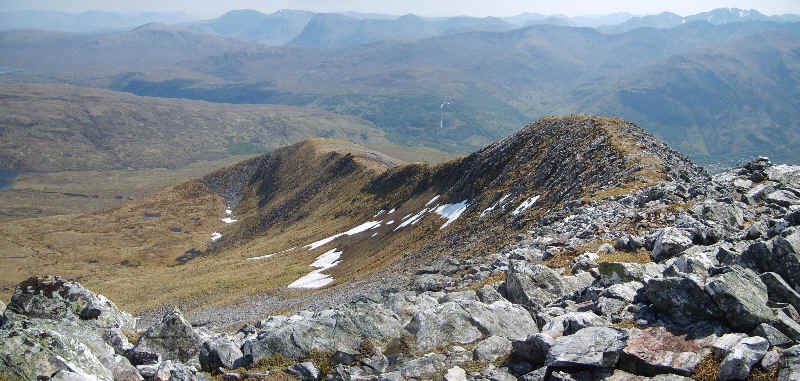
I had thought about returning to Kinlochleven via the outward route but in the end decided to come down the south west ridge to join the vehicle track to Mamore Lodge. This photo shows the first stage of the route.
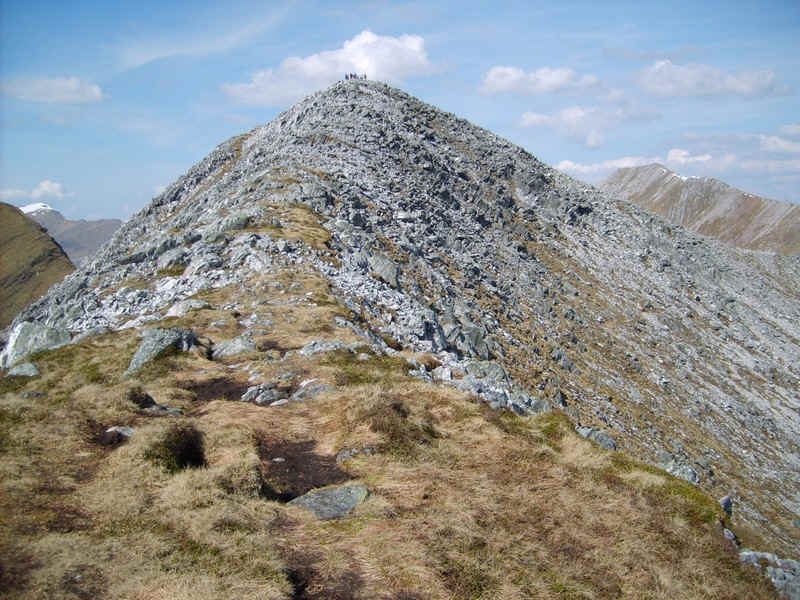
Looking back uphill towards the summit - there was a school group from Edinburgh climbing the two hills and they can be seen on the summit.
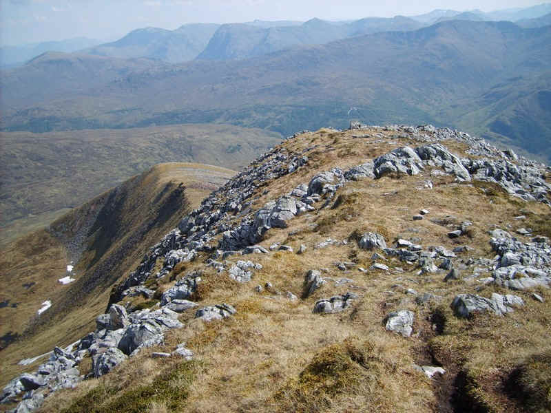
There's a good path most of the way down the first part of the ridge.
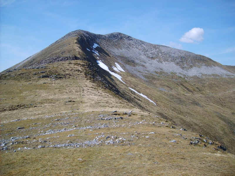
Another view back gives a good impression of the hill's shape.
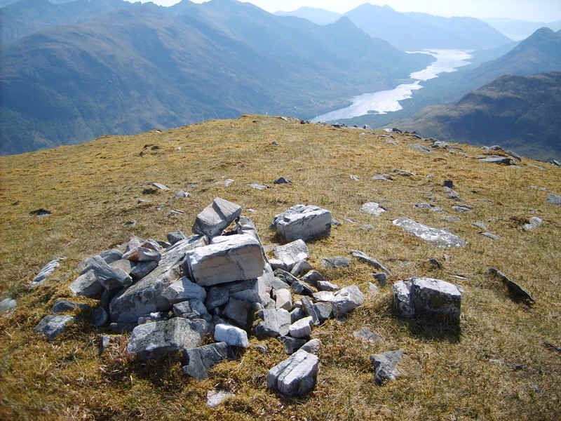
Lower down several cairns indicate turns in direction..
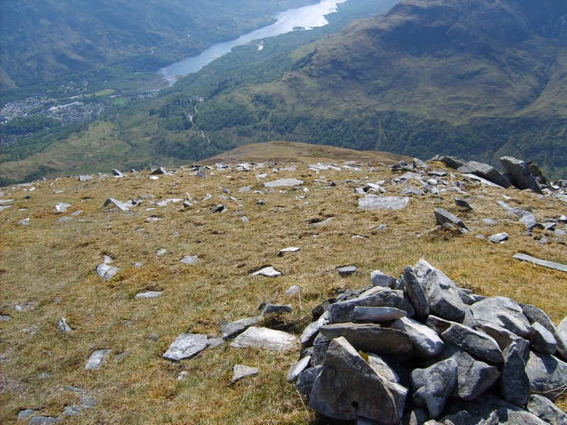
....and they way forward points directly towards Mamore Lodge.
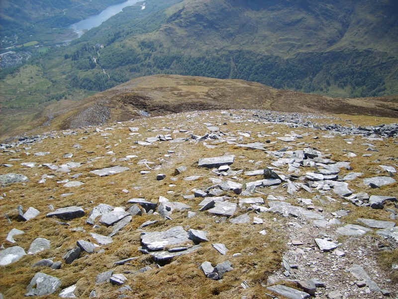
Initially it was a steady drop..
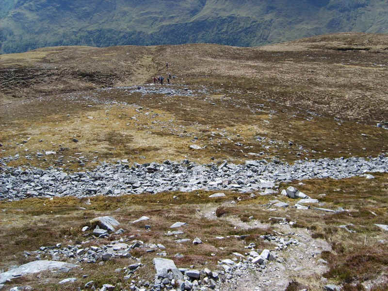
...over grass and occasionally boulders..
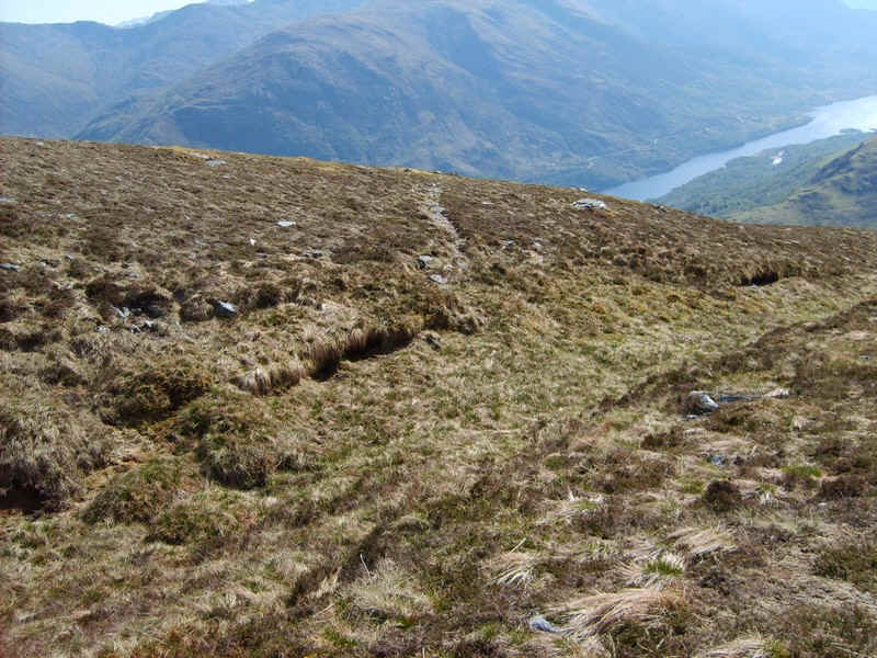
.....with some clear sections of path.....
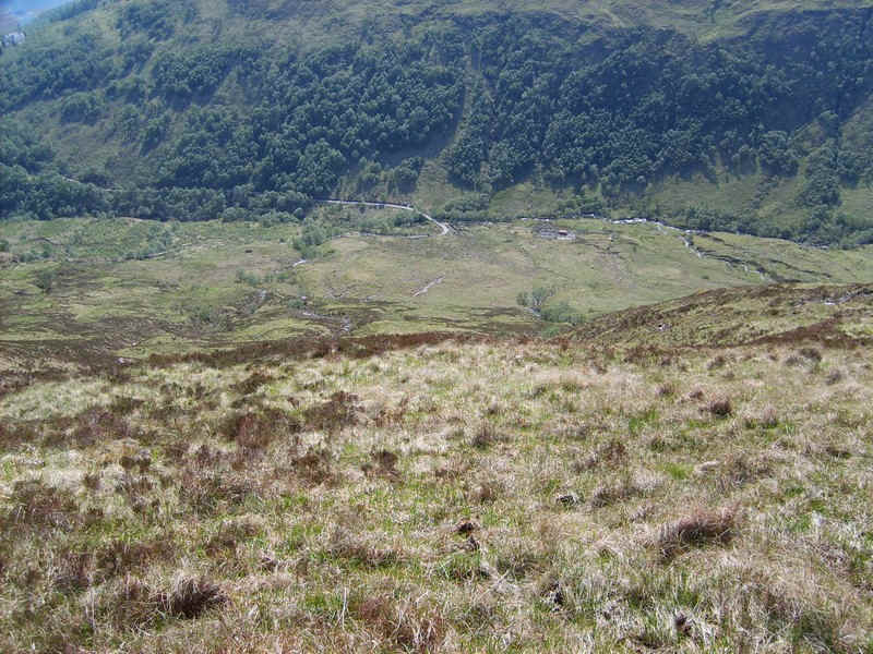
....but eventually the track either ran out, or I lost it, so it was a case of heading down to the vehicle track.
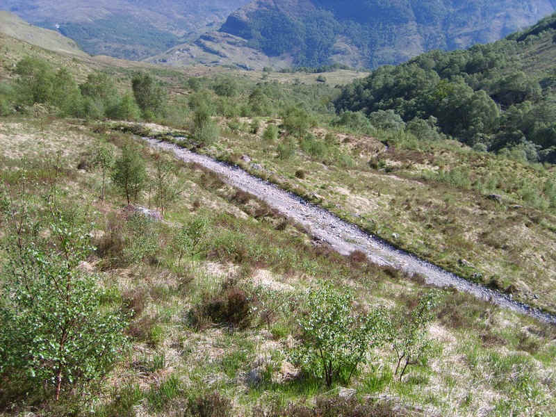
There were some deer fences to negotiate lower down before I joined the track to the Lodge.
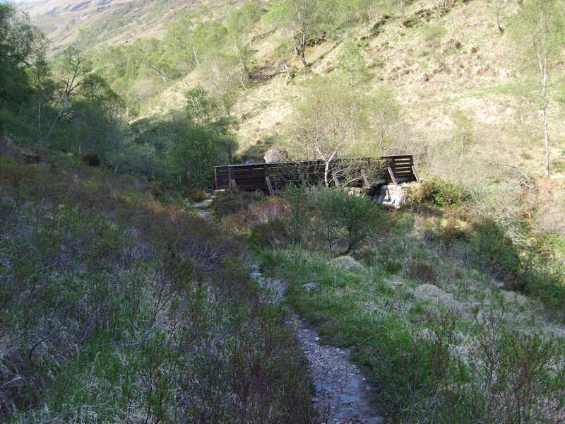
Rather than head down the road I turned off the vehicle track just before the lodge and descended the path to the footbridge.......
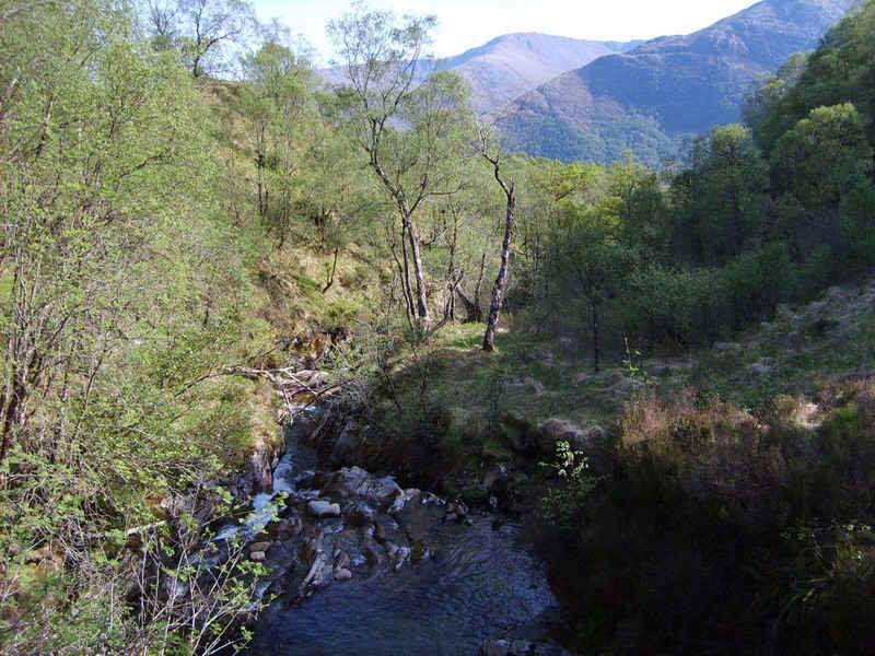
.....over the Allt Coire na Ba..
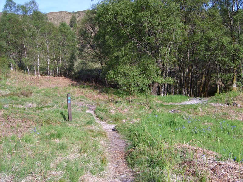
The path to Kinlochleven goes right here through trees...
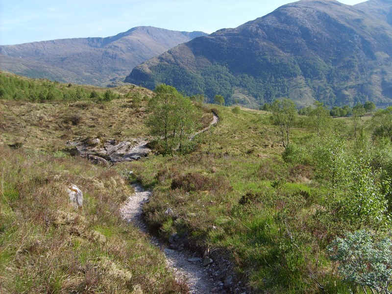
.....and downhill across the hillside.
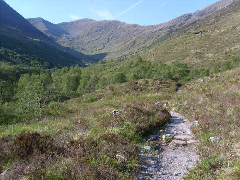
A final glance back up the glen....
...and then it's down through the woods.
The walk had taken just over 9 hours.