Carn an Fhreiceadain
Note: My Spot tracker did not record my position for the first part of the walk so I have inserted markers to show the route.
In early September 2020 I climbed Carn an Fhreiceadain from Kingussie. The hill summit is at 878m (2882 feet) and is pronounced approximately as "Carn in Raychiten" meaning "Watcher's Cairn".
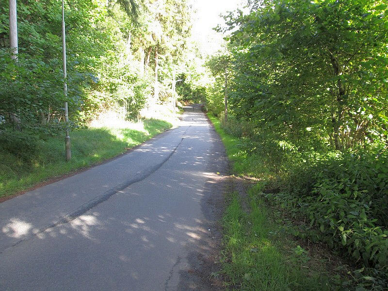
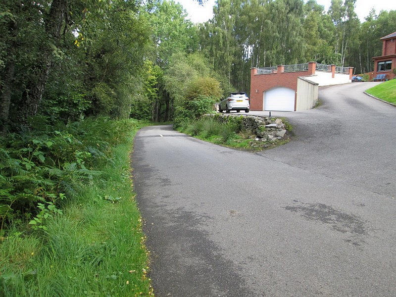
The walk starts from the railway station up a road directly across the old A9 and is soon away from houses.
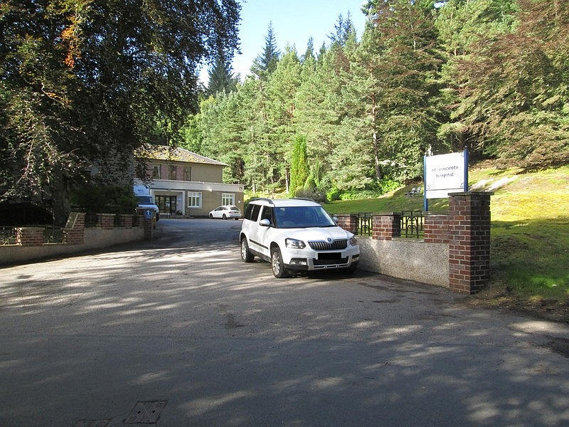
The old Grampian Sanatorium building was opened in 1901 and later bought by the Sisters of Charity of Saint Vincent de Paul hence its name of St Vincent's Hospital. It joined the National Health Service in 1986 but is expected to close when the new hospital in Aviemore opens.
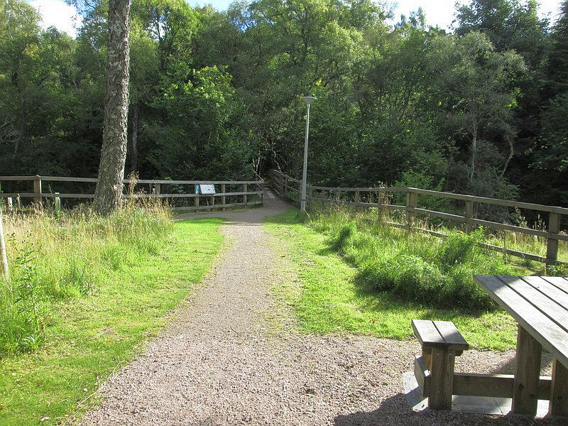
The road continues towards the golf course but the path goes off to the left and crosses the Gynack Burn at a footbridge...
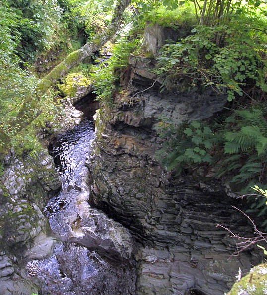
....in a deep gorge. The burn is also used to provide hydro power for Kingussie.
Once over the bridge another road from Kingussie heads off towards....
.....the Pitmain estate.
After passing through trees....
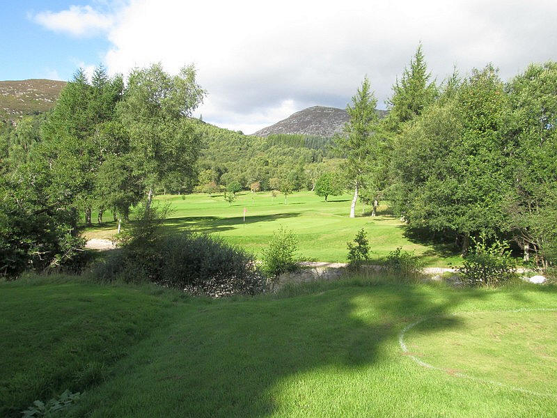
...and across the gold course...
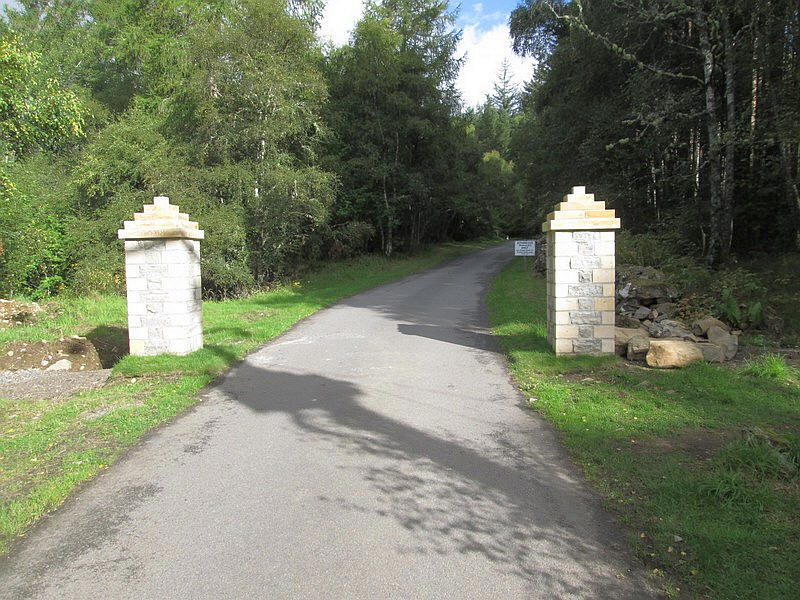
....the entrance to Pitmain Lodge is passed....
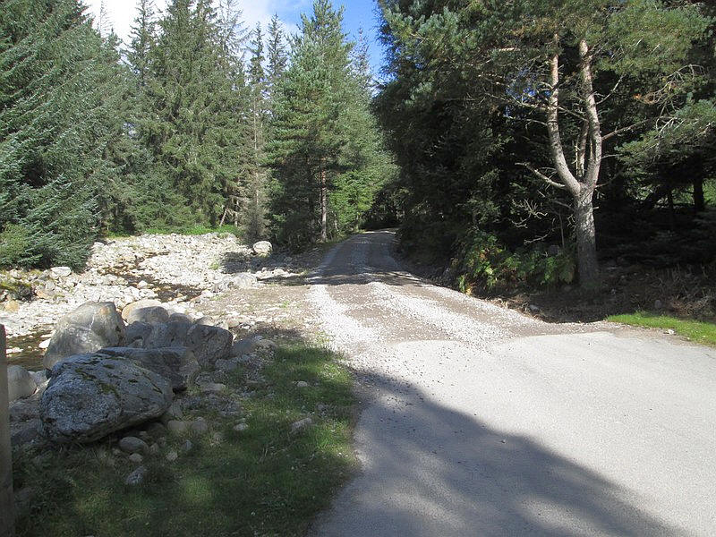
...and the road turns into a gravel track.
Over to the left is a bridge which will be used on the return walk on the west side of the Gynack Burn.
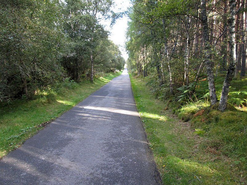
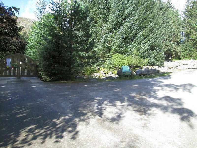
The track to the east side of the burn heads straight up hill...
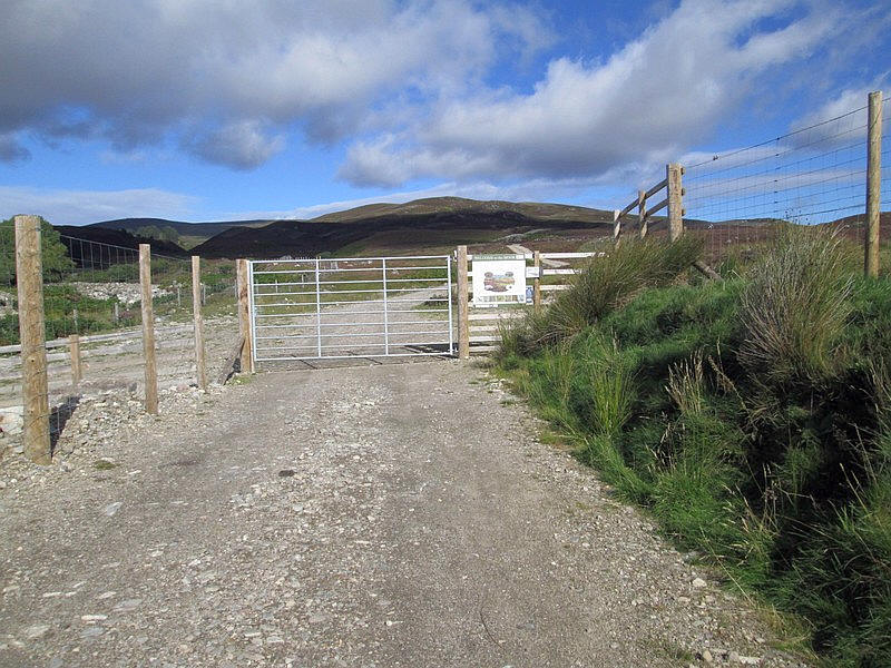
....to reach a deer fence with...
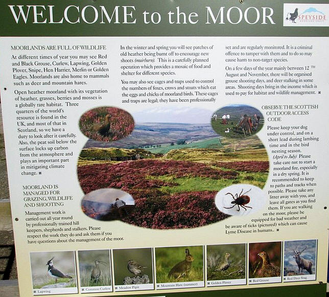
...an information board. Walkers are obviously welcome on this hill.
The view ahead towards Carn an Fhreiceadain. Click on the photo to see a larger image.
There is another fence to cross at a gate
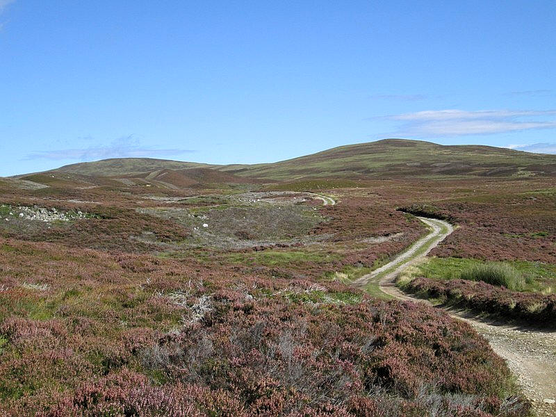
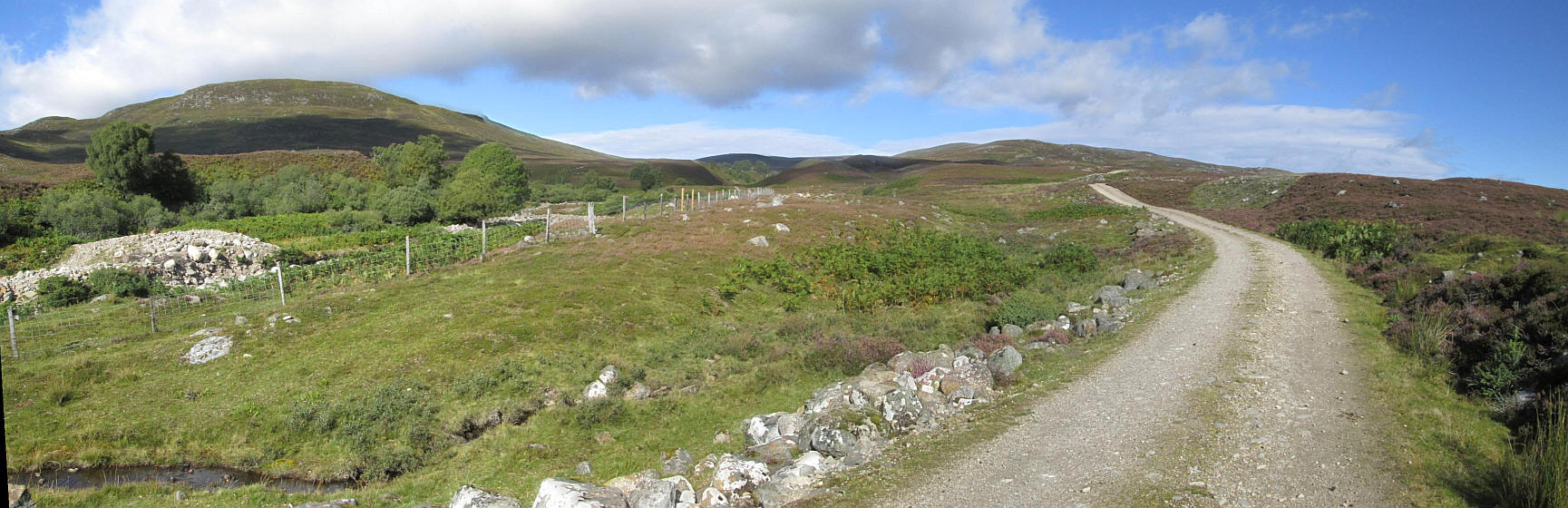
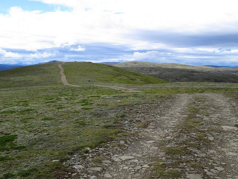
...and then the track is on a real heather moor.
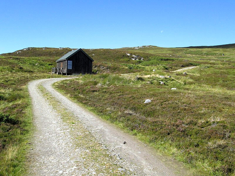
The climb continues past a well appointed shooting hut with chairs and tables which, surprisingly, was unlocked.
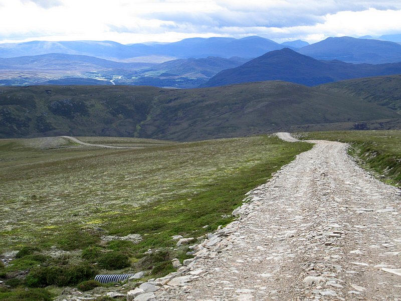
The track climbs very steeply in places - no doubt this is not a problem for four wheel drive vehicles but it is less pleasant when on foot.
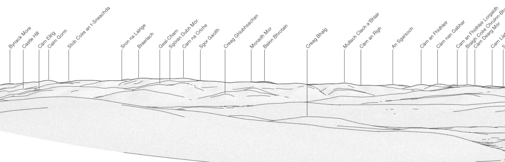
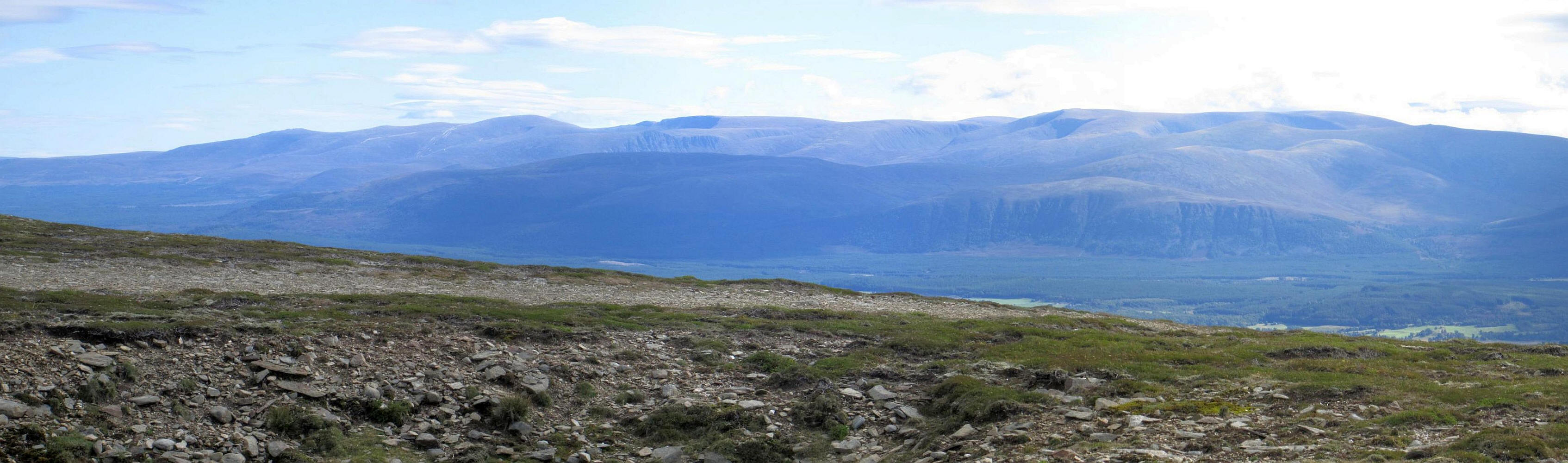
In the centre of the photo is Cairngorm with the scar from the funicular railway and ski tows visible. Over to the right is Braeraich.

Panorama of the Cairngorms. Click on the photo to see full sized image

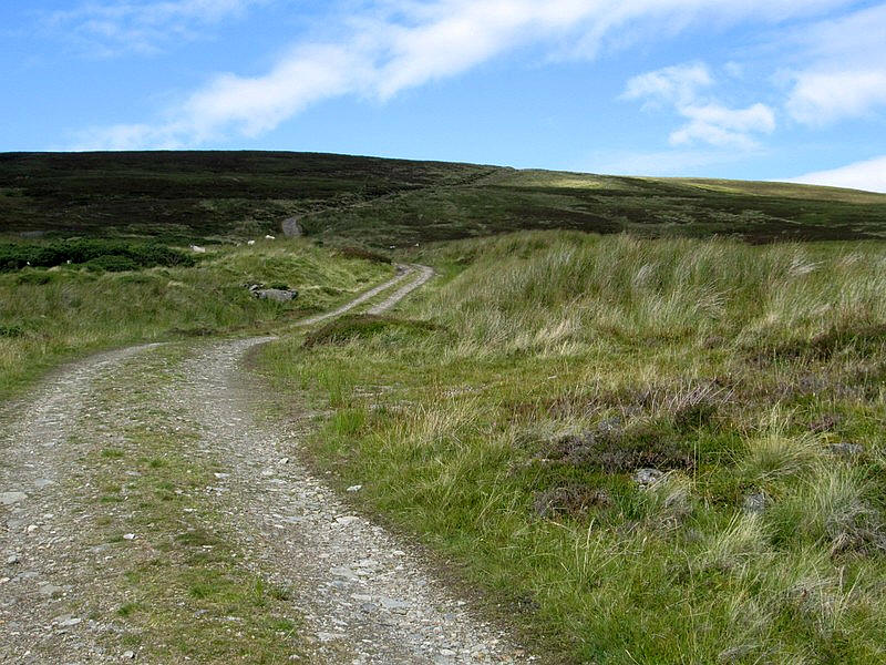
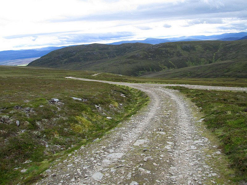
As the track approaches the summit of Beinn Bhreac the gradient eases.
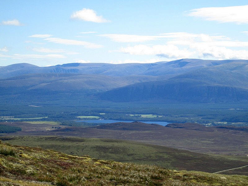
Looking down to Loch Insh with Cairngorm, Ben Macdui, the Lairig Ghru and Braeriach.
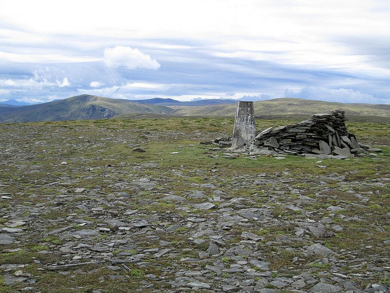
Nearly at Beinn Bhreac.
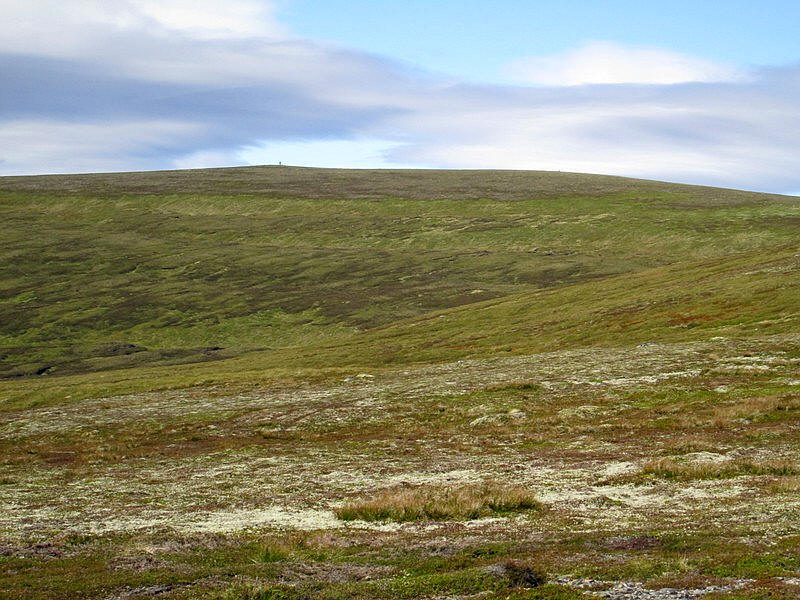
Over to the west the tall cairn near the summit of Carn an Fhreiceadain can be seen.
Beinn Bhreac's cairn.
Another clickable Cairngorm panorama.
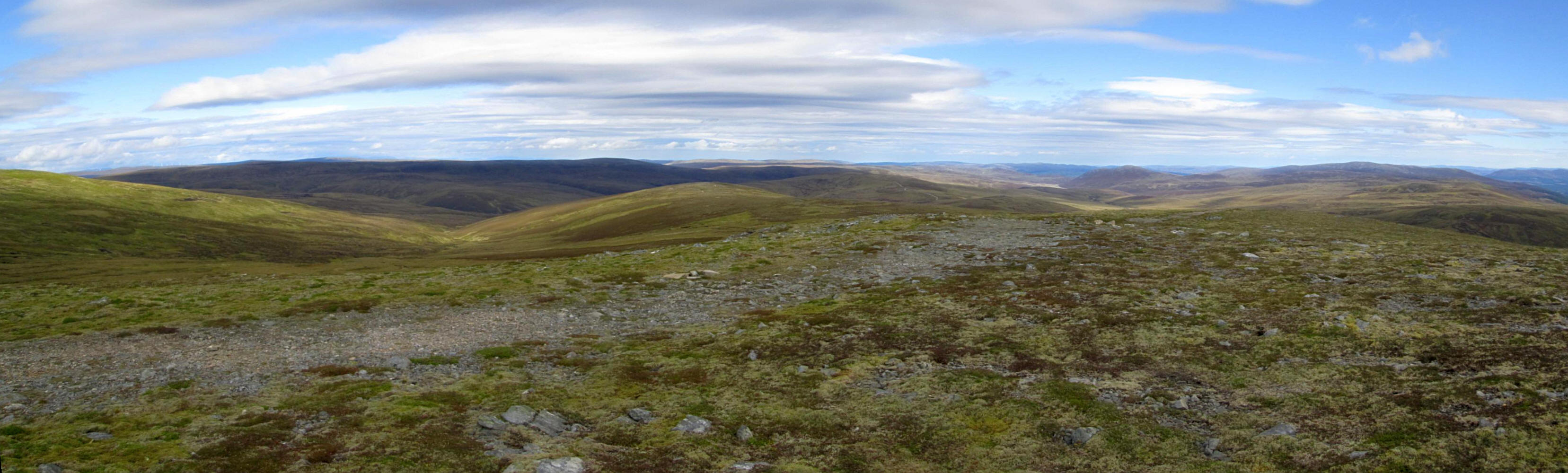
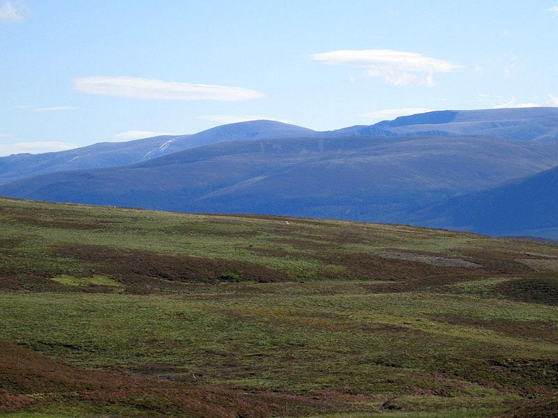
Looking north. In the far distance the summit of Ben Wyvis and other high hills could be picked out.
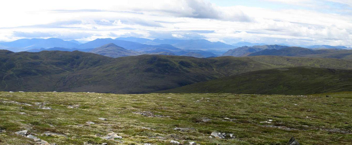
Looking to the south west another multitude of hills. The highest hill in the centre is Ben Alder.

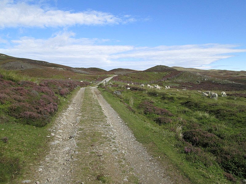
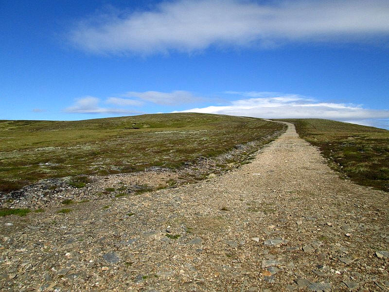
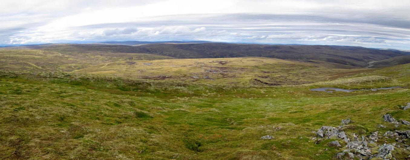
The track continues from Beinn Bhreac across the high moor....
.....towards the main summit
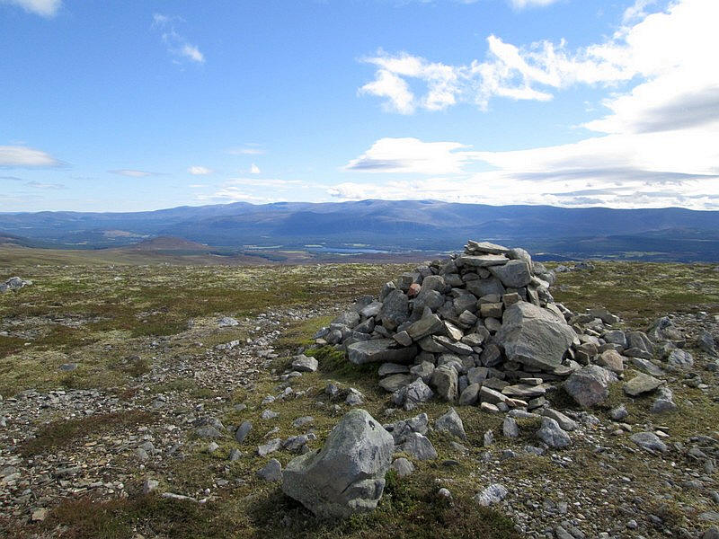
The summit cairn of Carn a Fhreiceadain...
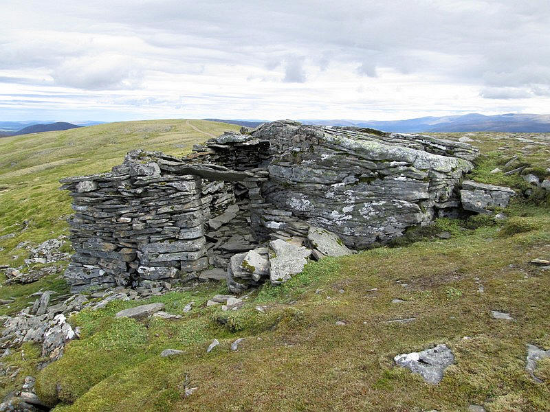
...and a small shelter built around a rocky outcrop.
Looking north over the Monadliath. A nice boggy area directly ahead!
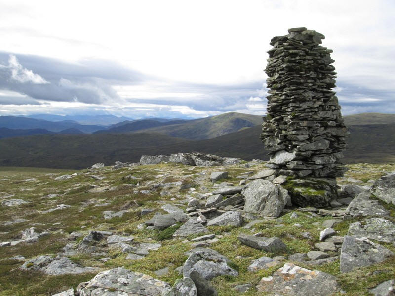
The imposing cairn just south west of the actual summit.
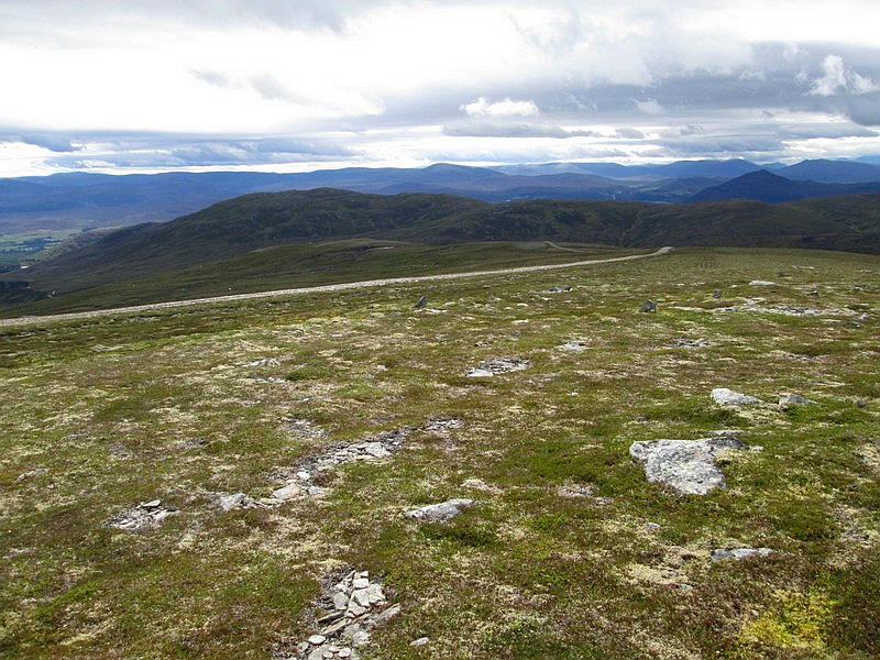
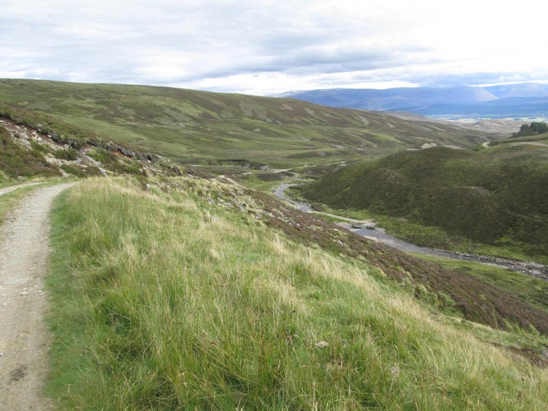
The track now continues southwards as it drops down towards the Allt Mor stream.
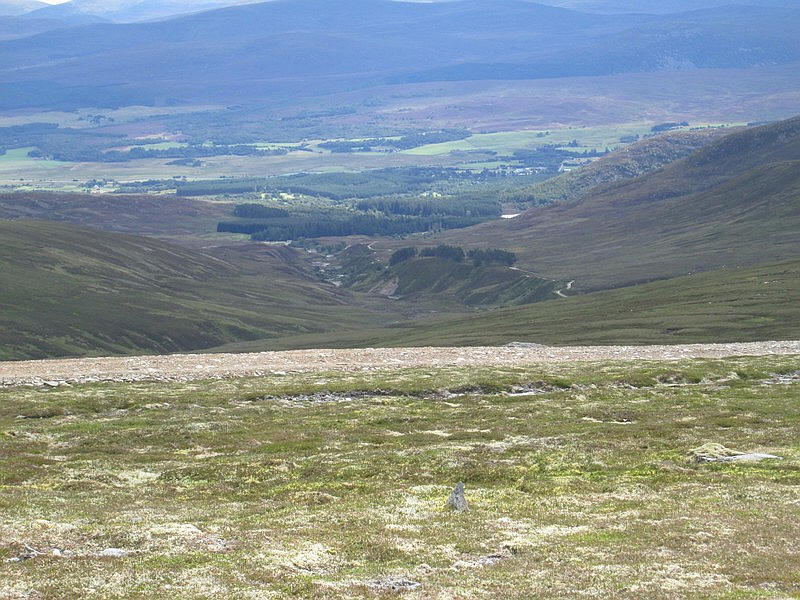
Looking down to the Allt Mor and Kingussie.
The track drops steeply downhill with views towards the Drummochter Pass beyond the conical hill.
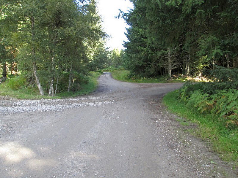
The track joins another one which comes in form the north....
.....and drops to a bridge over the Allt a Choire Odhair burn.
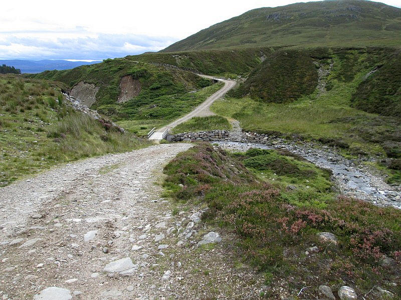
The track crosses the main Allt Mor at another bridge before climbing...
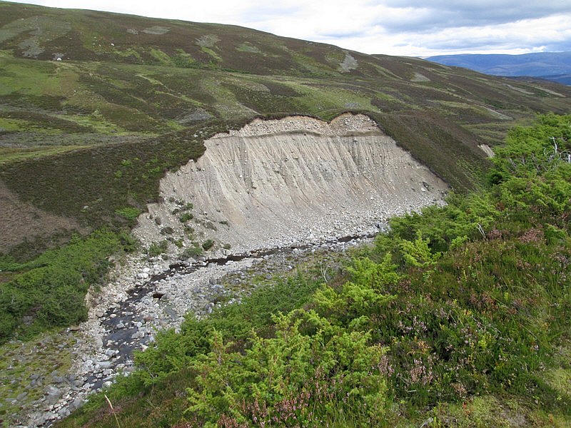
....above the burn with this superb example of river erosion.
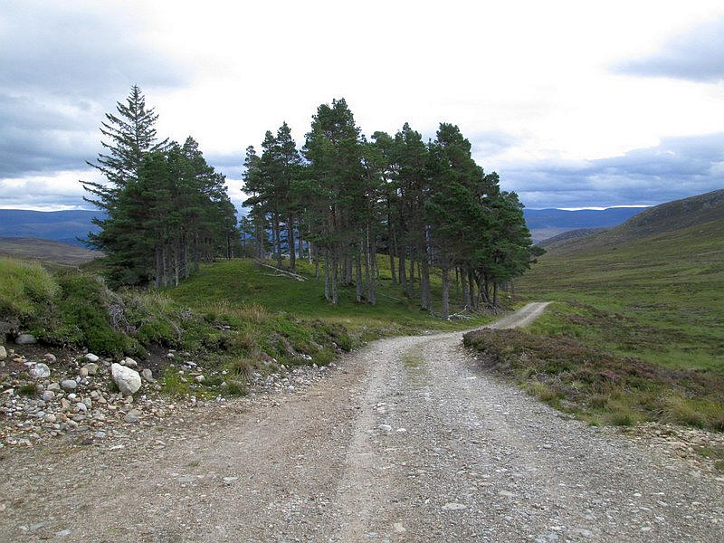
There's a small stand of conifers on an otherwise bare moor.
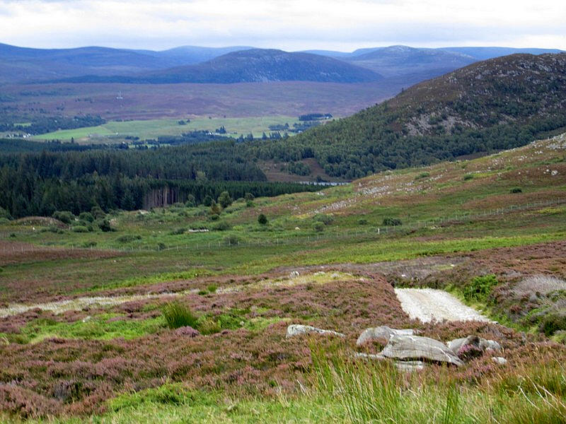
Just visible are the waters of Loch Gynack which feeds the Gynack Burn. I would have liked to get a closer look at this but I had a train to catch.
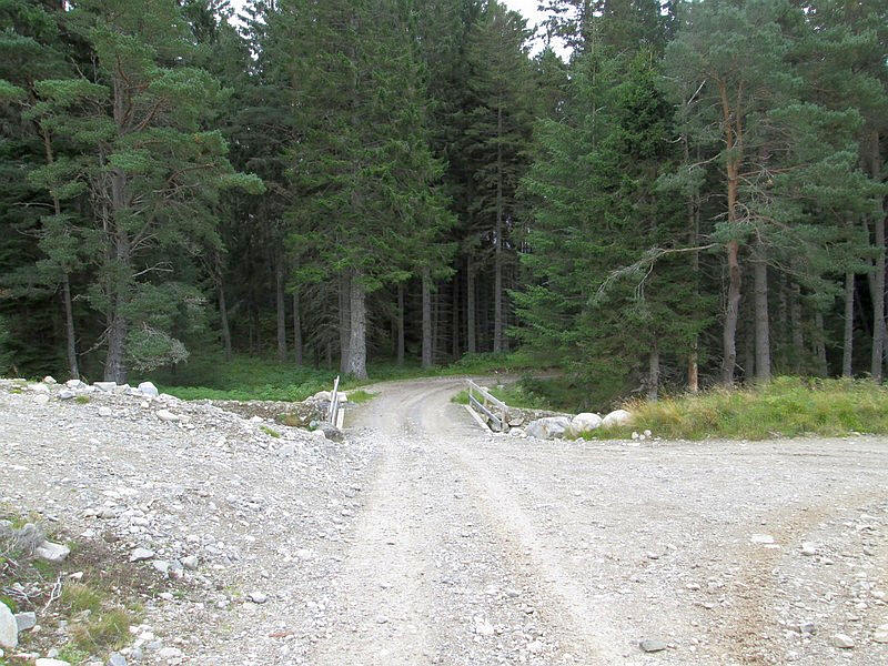
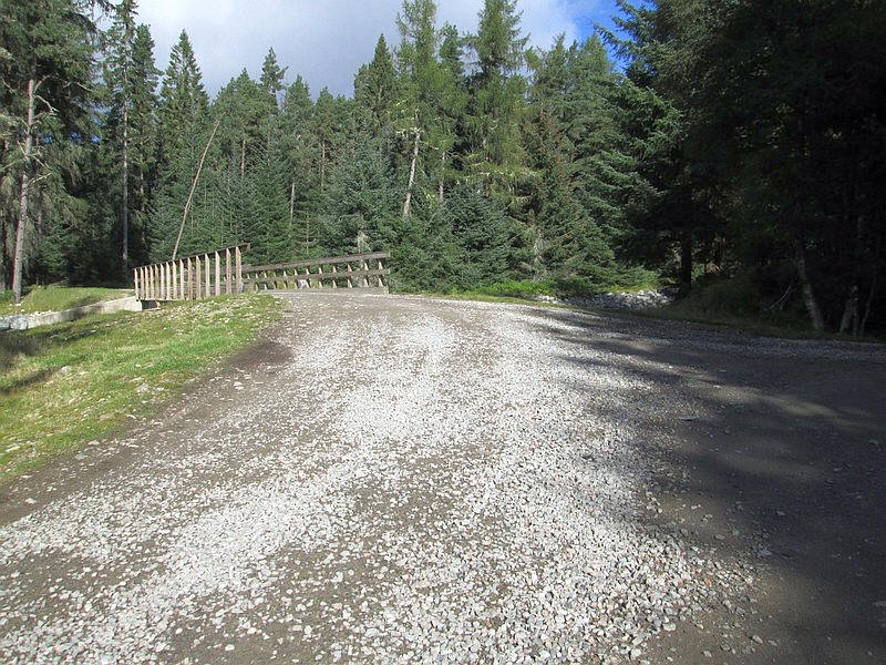
The track enters the forest near the Pitmain Lodge...
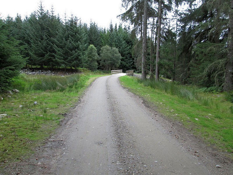
...and after passing the estate workshops crosses the bridge seen at the beginning of the walk to complete the circuit of the hill.
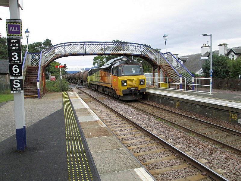
I arrived back at the station in time to catch the train I'd planned - the entire walk had taken about five and a half hours. Just as I reached the platform a freight train ran into the loop. It was an Aberdeen to Irvine train of tankers carrying clay bound for the paper mill at Irvine. Normally it runs direct via Dundee and Stirling but because of the previous month's accident near Stonehaven it had to be diverted on the much longer route via Inverness.