Carn Chreag
This Corbett was climbed in June 2014. My original plan had been to walk from Tyndrum to Cam Chreag and then continue to the Munro of Chreag Mhor. However, weather conditions - thick cloud, rain and wind - led me to abandon this idea.
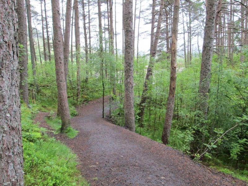
Leaving Tyndrum the West Highland Way was followed...
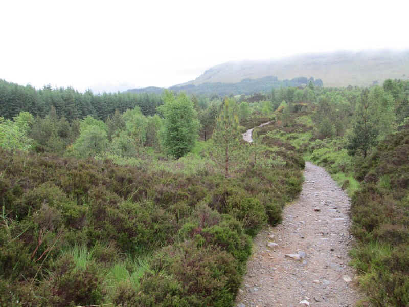
...through the regenerating woodlands....
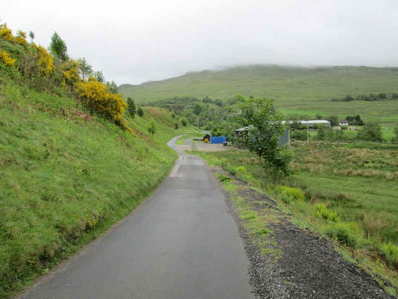
.... to reach the farm at Auchtertyre.
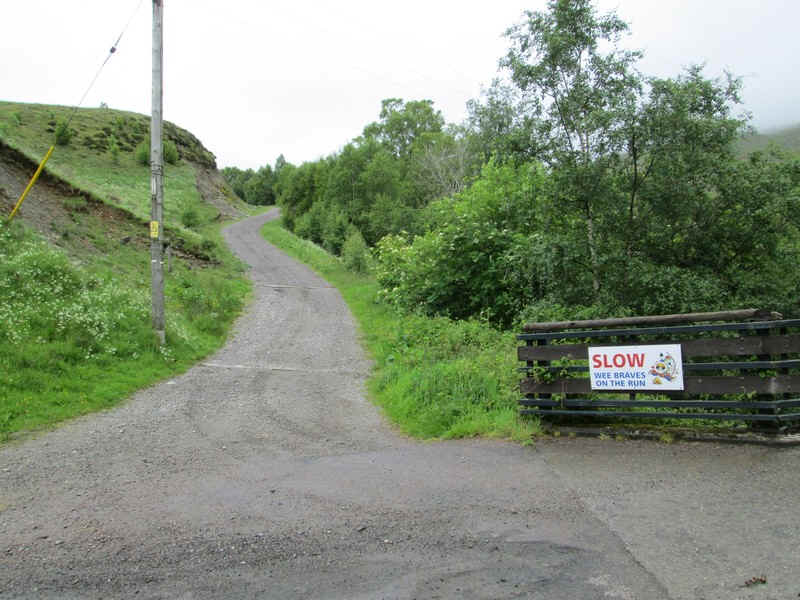
The sign warns of children on the loose outside the wooden "Wigwams". The track to the hills is straight ahead.
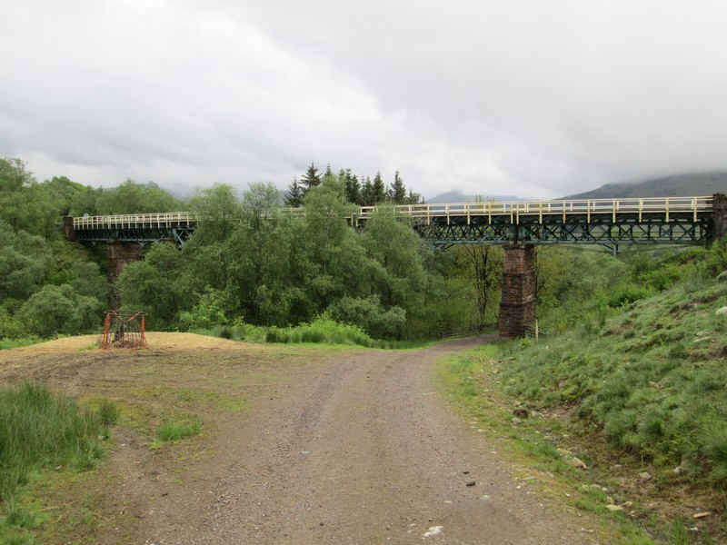
After crossing under the West Highland Railway...
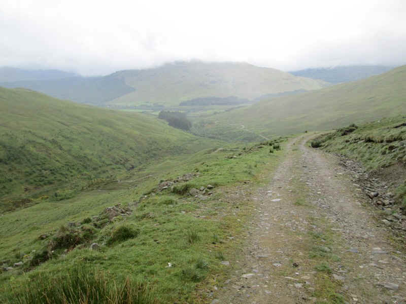
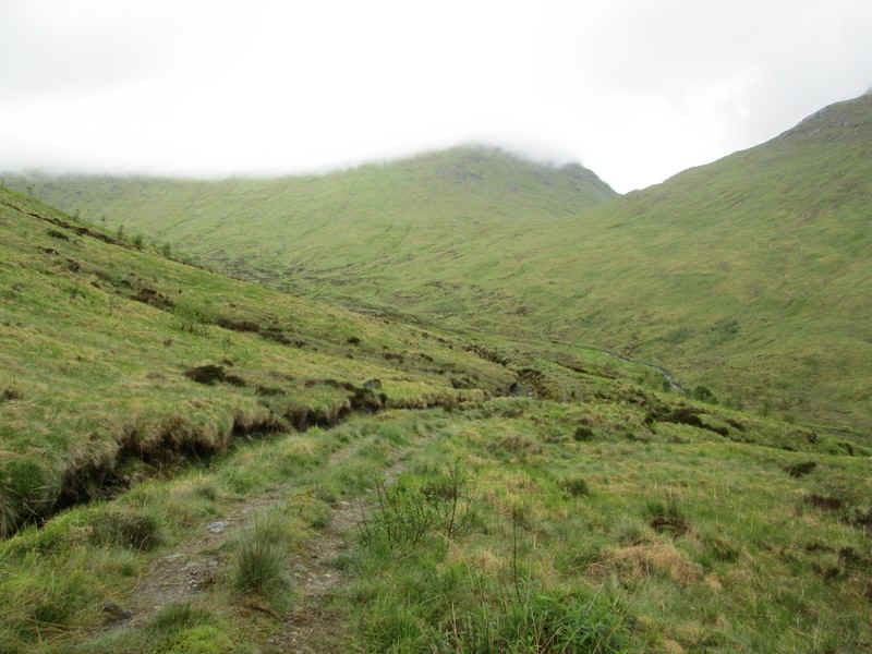
...the track heads up Gleann a'Chlachain with the slopes of Beinn Chaorach ahead.
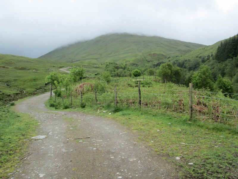
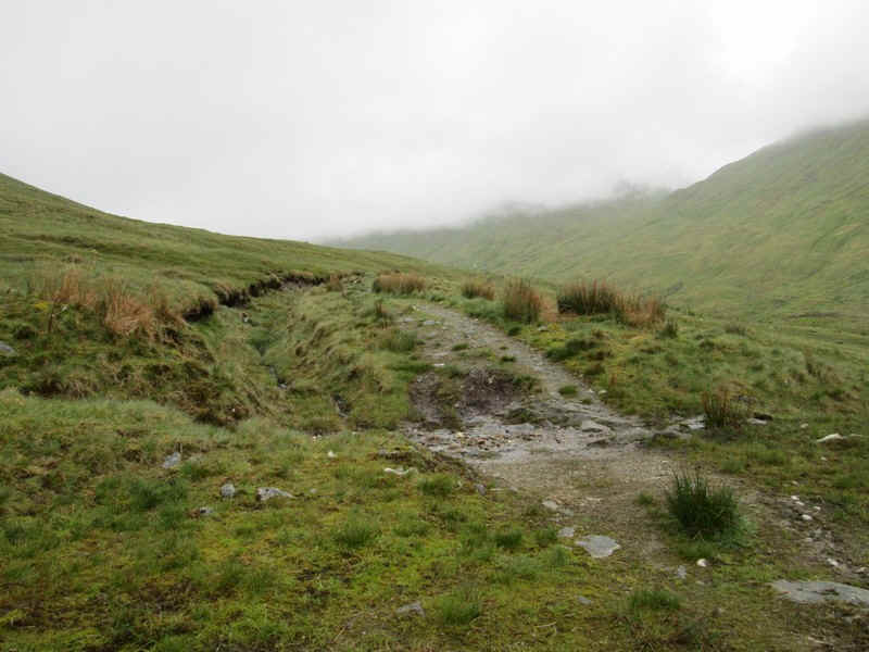
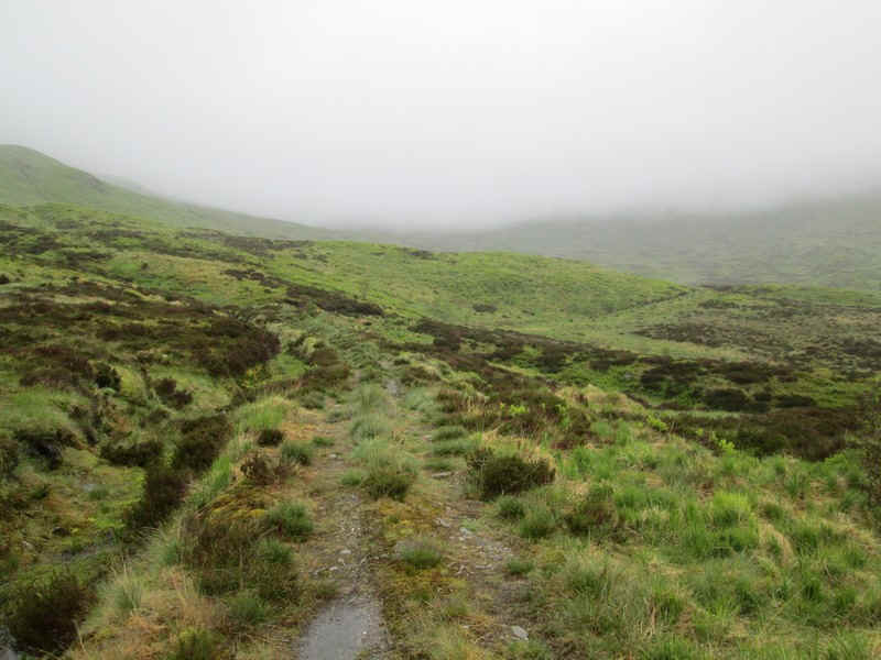
After crossing a footbridge the track splits with the route up the glen going off to the right....
....and climbing high above the stream
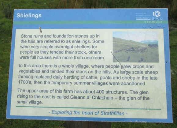
There's a large area of shielings in the glen with this plaque giving details of...
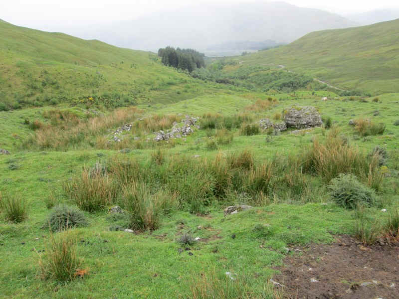
...the remains of the old village which clearly visible.
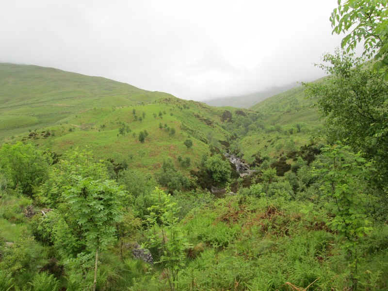
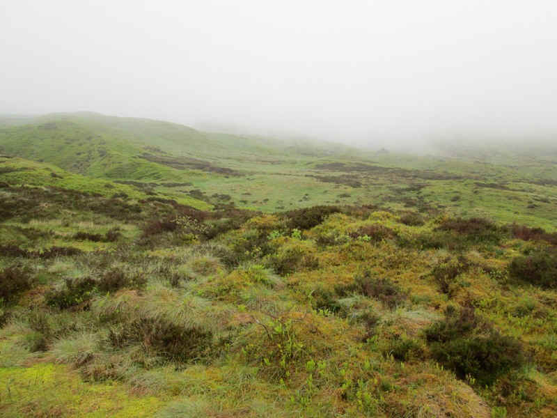
As can be seen the hills were covered in cloud with this view looking downhill to Strath Fillan.
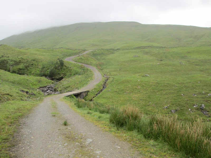
The OS map shows the track ending at NN366317 but the remnants of an older track continue much further and...
...can be used for at least another kilometre before it turns off uphill to the left at roughly NN 369328.
I set a bearing for the summit at NN375346 and walked across the grass....
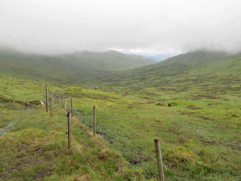
.....until this fence was reached - the second fence is an electric one that is being used in connection with regenerating vegetation in the glen but didn't seem to be live even though a wind generator was working. It was easily crossed. (Grid Ref: NN37077 33805)
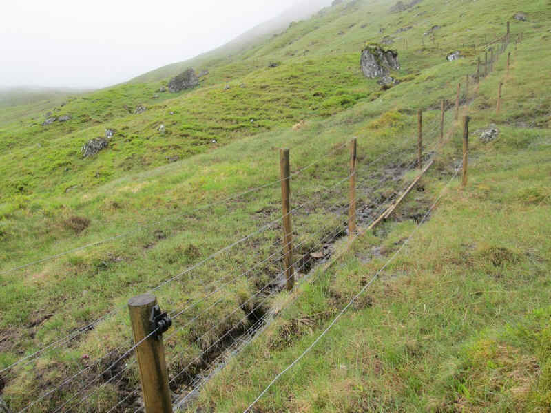
Once over the fence the steep grassy slopes with occasional small rocky sections lead up towards the summit. Visibility became steadily poorer so no further photos were taken.
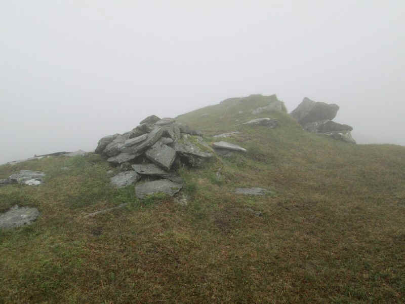
There are several tops on Cam Chreag (884m) so I wandered around to each of them to make sure I reached the summit! The one with the cairn is probably the highest at NN 37550 34460
On my return the cloud lifted vary slightly to reveal Bealach Ghlas Leathaid with Cam Chreag on the left and the slopes of Beinn Challum on the right.
The outward walk from Tyndrum to Cam Chreag took about 3 hours and 30 minutes.