Cnoc Coinnich
Cnoc Coinnich is a hill near Arrochar which was resurveyed in 2016 and found to be somewhat higher than previously thought so instead of being counted as 'Graham' - a hill between 2000 and 2500 feet is now elevated to the status of a Corbett (a hill over 2500 feet with a drop of at least 500 feet on either side). The hill is 763.5 or 2505 feet above sea level and starting from Argartan at about 25m above sea level there is a significant ascent, although it has to be said a relatively easy one for most of the way.
This was the third attempt to climb the hill. I had hoped to climb it in June 2021 together with The Brack but high winds and heavy rain meant I abandoned that climb. In August 2021 I climbed Ben Donnich and The Brack in beautiful conditions but ran out of time to fit in Cnoc Coinnich.
Finally in late September 2021 I decided to climb Cnoc Coinnich on its own starting from Ardgartan and finishing a Lochgoilhead. This is easily achieved by taking the Citylink bus from Glasgow to Ardgartan, walking along the Cowal Way long distance footpath before making a detour to the summit. Then I would rejoin the Cowal Way and continue to Lochgoilhead where I would take the late afternoon local bus back to Helensburgh and a train to Glasgow.
My plans were nearly thwarted because of a very poor forecast of gales and heavy rain. However, in the end much of the day was dry, although I did get very wet and the wind wasn't a serious problem.
The map below shows my route taken from my Spot personal tracker. Note that tracking is poor in forest so I have added blue markers to show the beginning and ends of the walk.
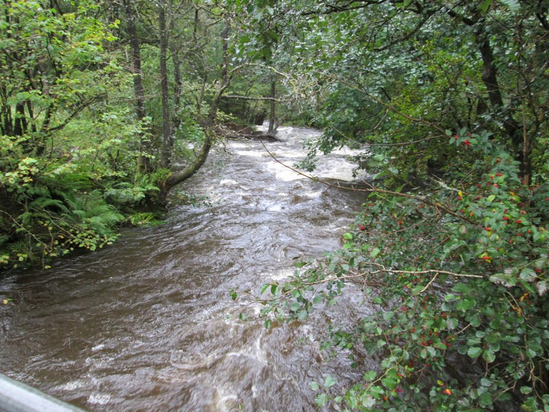
I left Ardgaratan at about 1015 - the bus had been slightly delayed by heavy traffic getting out of Glasgow. Crossing the bridge over the Croe Water it was obvious that after the torrential overnight rain ground conditions would be sodden.
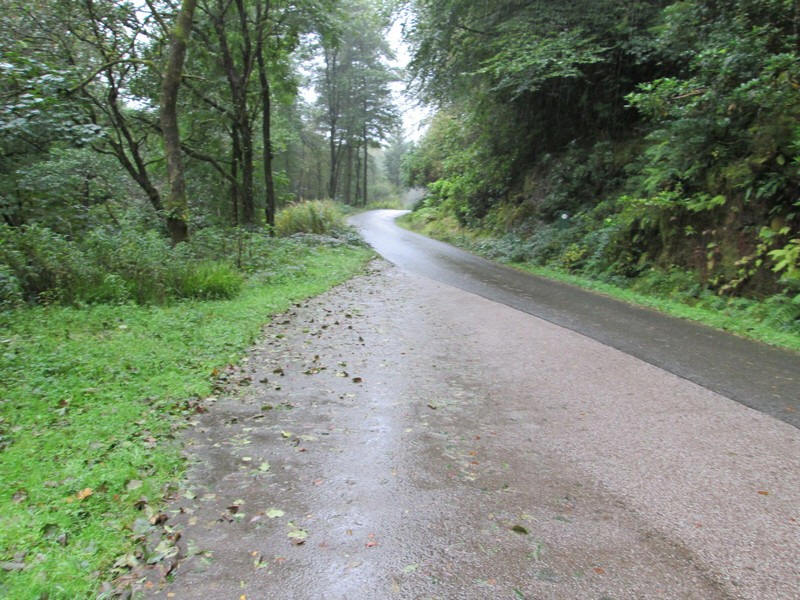
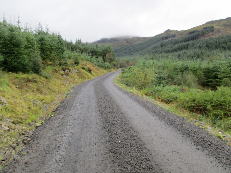
The first hour of the walk is along the paved road to Coillessan.
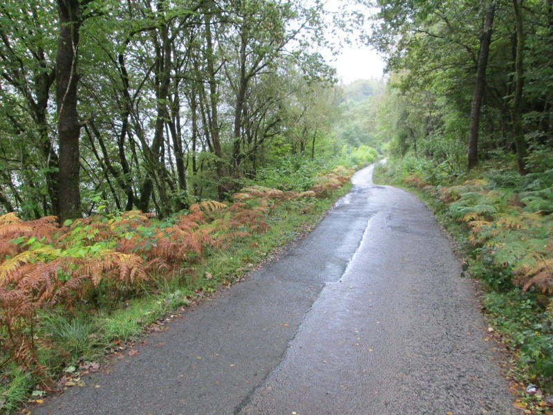
It is a pleasant walk on a quiet lane with views of Loch Long through the trees.
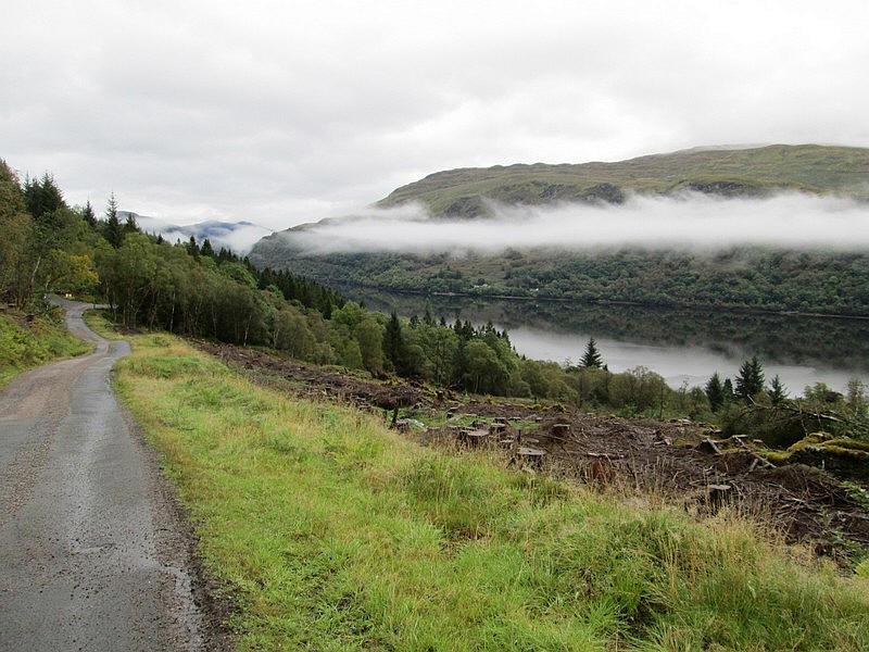
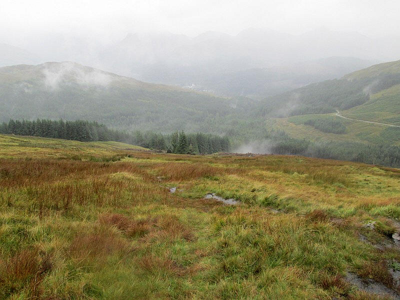
A section of the forest has been cleared near Coilessan and gave good views looking up Loch Long towards Arrochar. The cloud inversion over the loch added to the atmosphere.
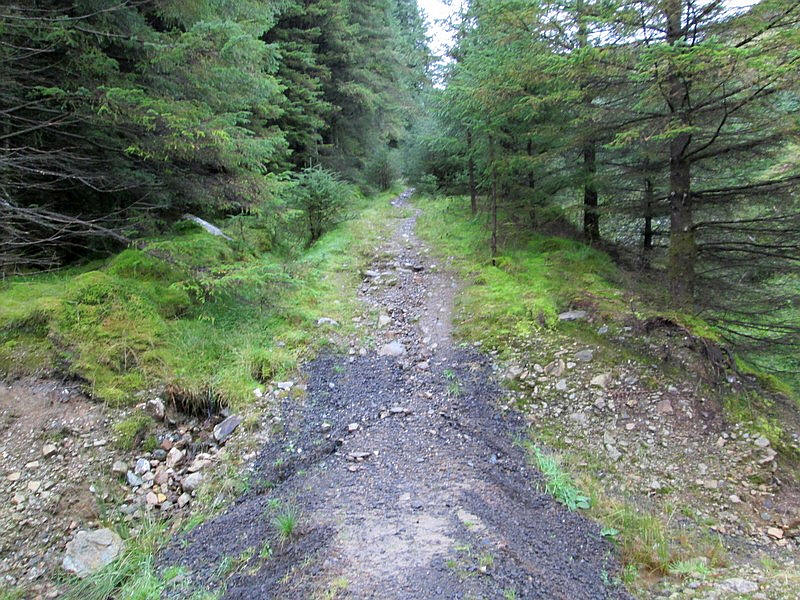
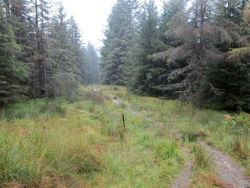
The Cowal Way leaves the loch side road and turns up the Coilessan Glen. It follows a rather obtrusive timber lorry road up the glen but does allow quick and easy access.
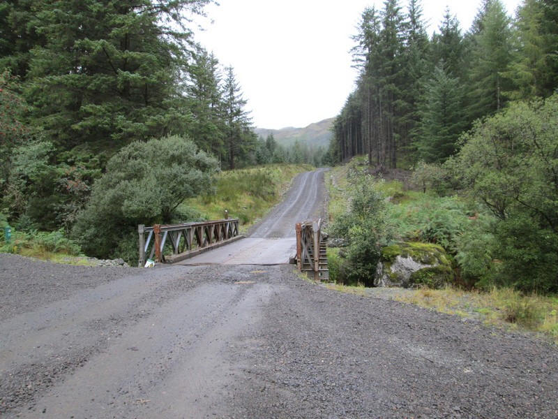
After crossing a steel bridge....
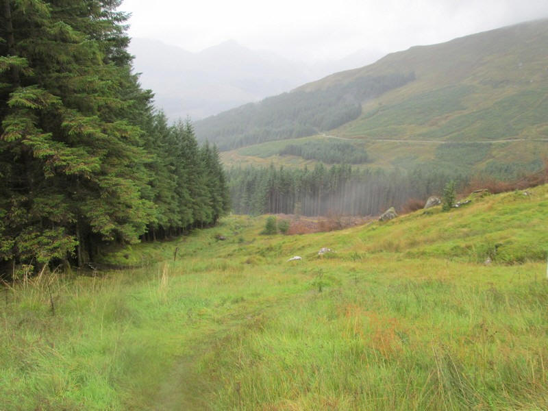
...a more open area is reached with the first target of the day visible on the sky line, the bealach between Cnoc Coinnich and The Brack.
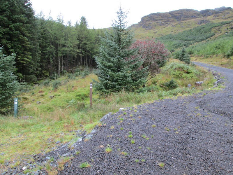
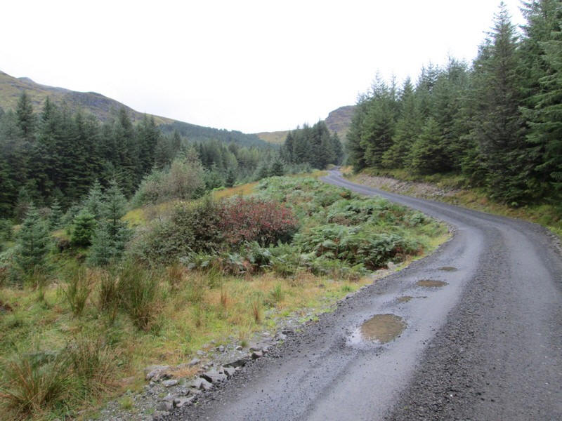
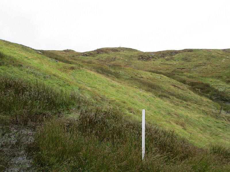
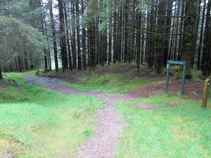
The Cowal Way does break away from the timber road for a few hundred yards at this marker post but frankly it's hardly worth using so I stuck to the road.

After a bend the Cowal Way crosses the road and heads up the ramp....
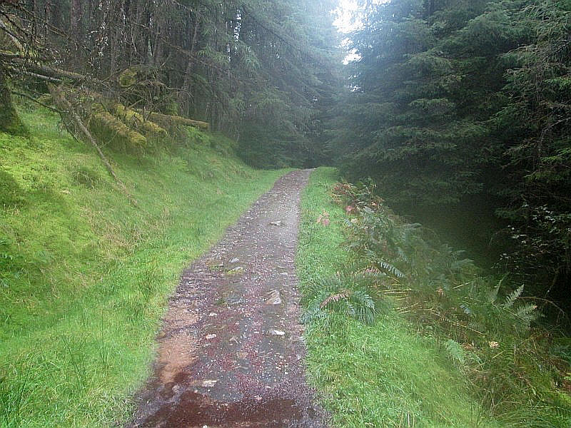
.....leading to this narrow track through the trees.
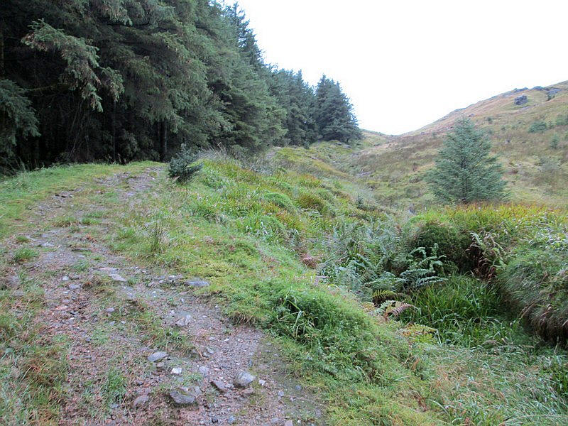
The path follows the burn up to the skyline where...
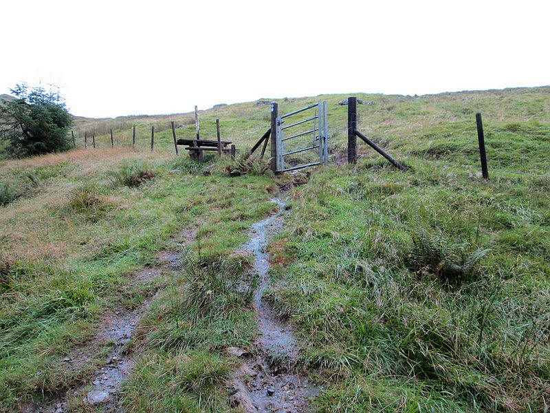
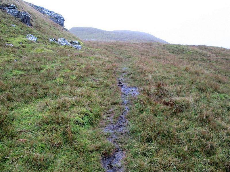
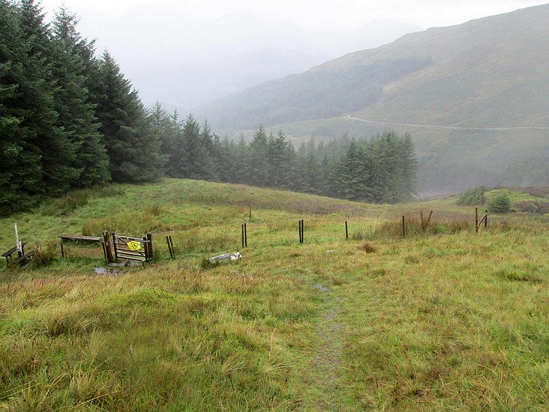
.....the open moor is reached at a stile and gate.
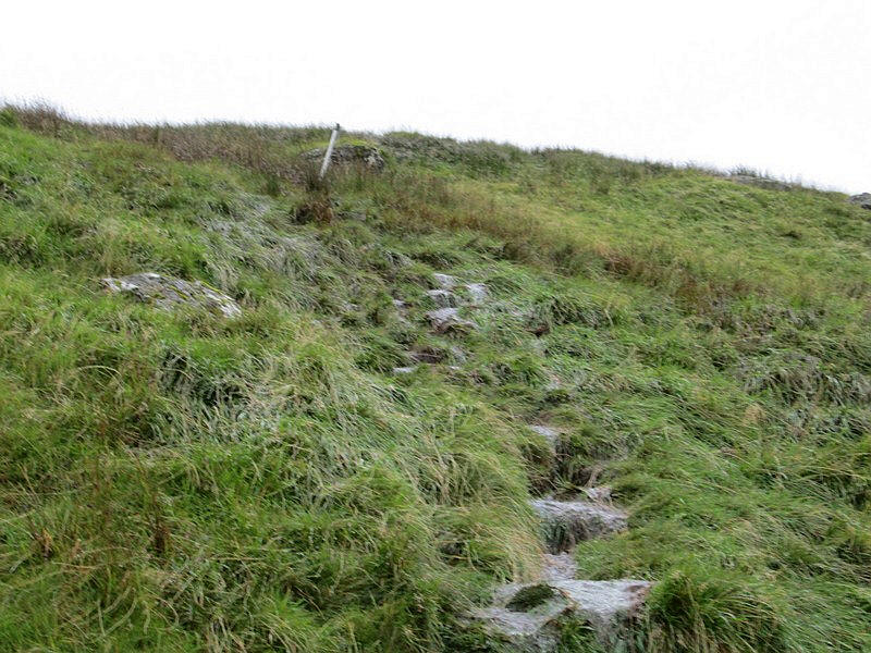
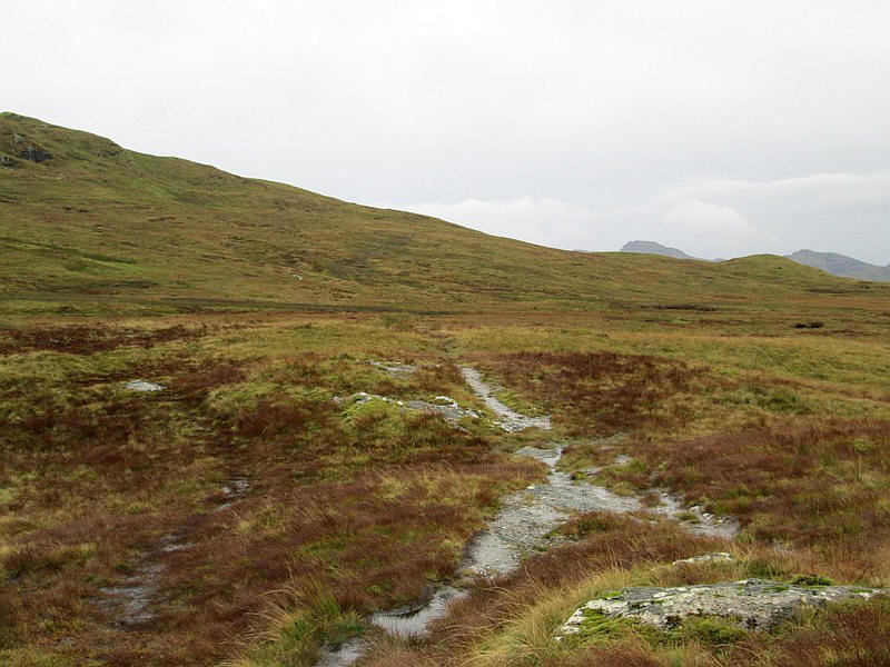
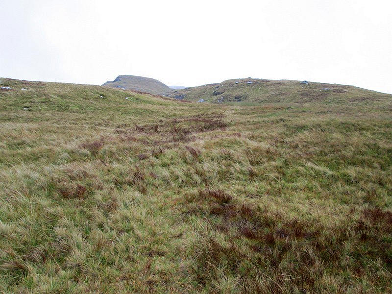
As expected the path was sodden and more like a stream. White marker post every hundred metres mark the path....
....as it climbs towards a cairn on the skyline.
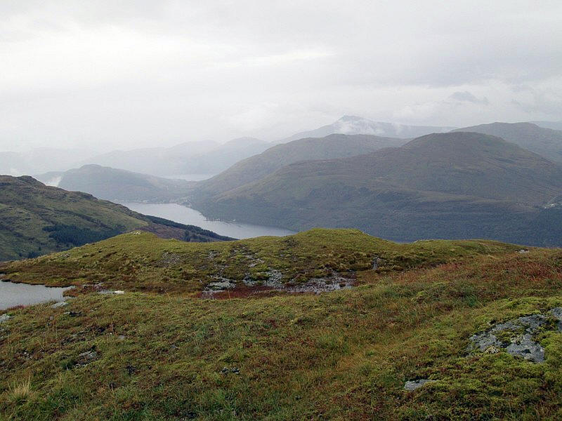
Looking back towards the Coilessan glen the summit of The Brack (787m) can be seen in the centre of the photo and over to the right the hills on the eastern side of Loch Long.
Click on the image to see a larger photo and then click again to see the full sized image
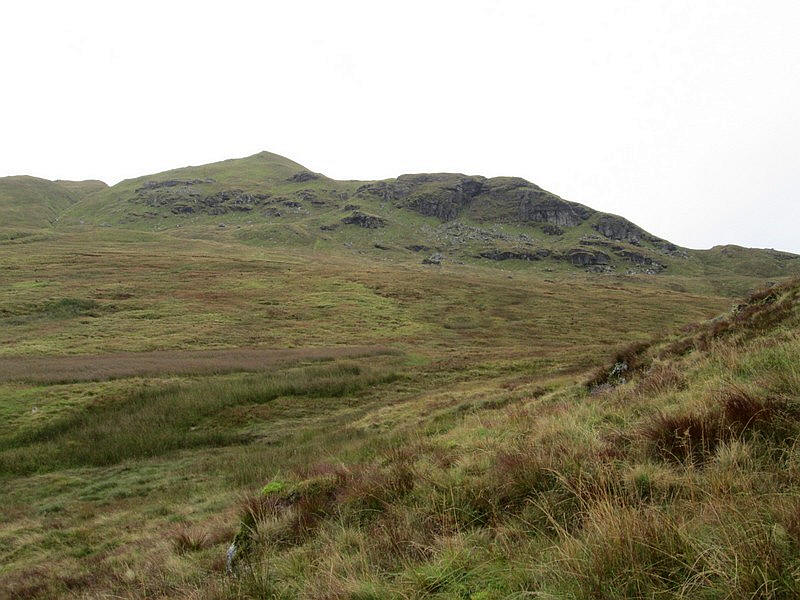
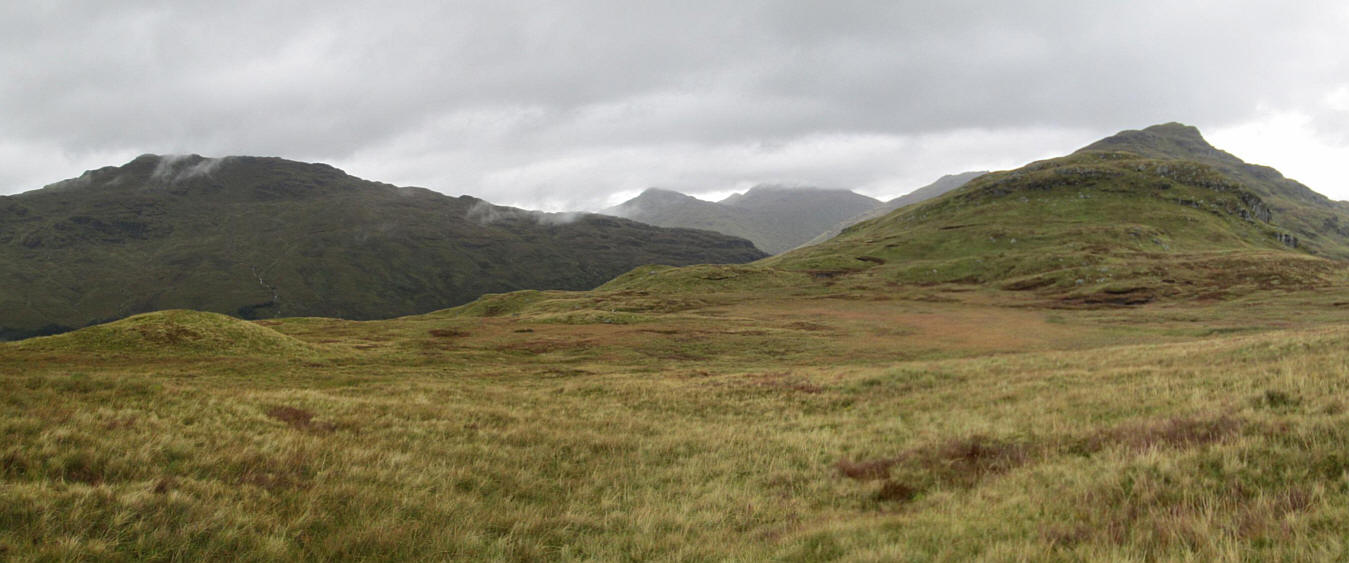
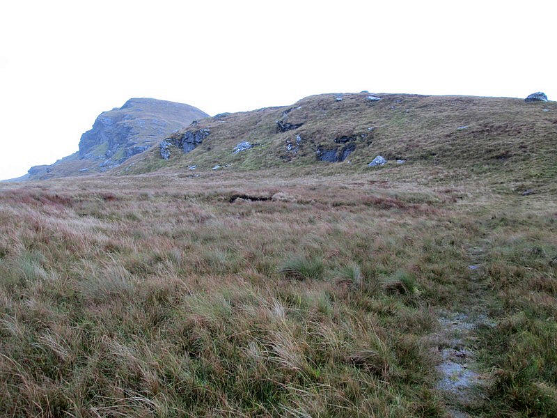
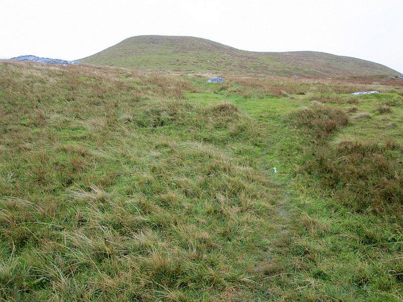
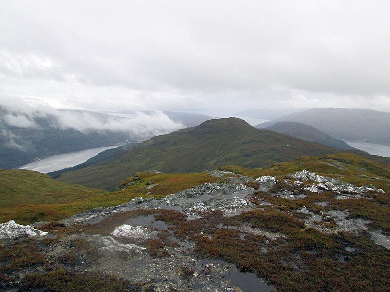
Today's target hill Cnoc Coinnich comes into view. The approach from this side is difficult because of crags so I will be continuing along the Cowal Way to climb the hill up the grassy ridge behind the crags.
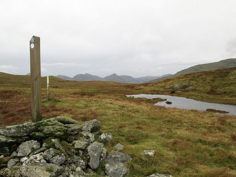
This cairn with its marker and a small lochan are at the point where the Cowal way levels off....
.....to cross the bealach which as can be seen was rather soggy.
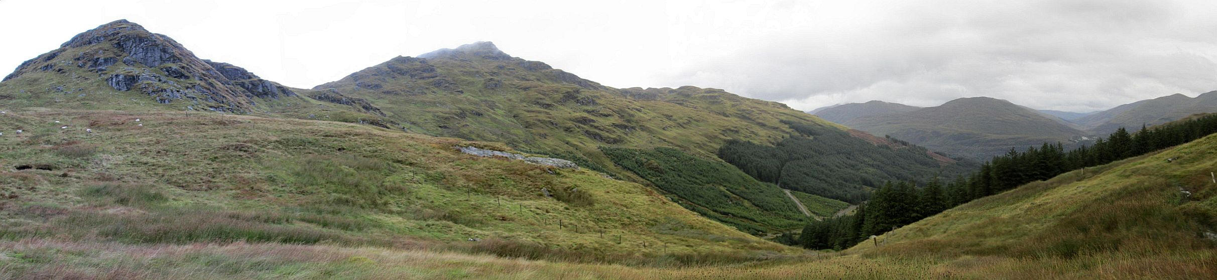
The hills to the west and beyond Lochgoilhead can be identified from the panorama diagram below.


The path climbs slightly to a pole...
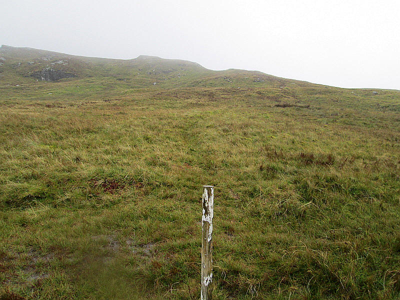
....at NN23043 01714 where a faint track leads uphill towards Cnoc Coinnich. This was a definite bonus as I wasn't expecting one but I suspect that since the hill was elevated to Corbett status more people are climbing it.
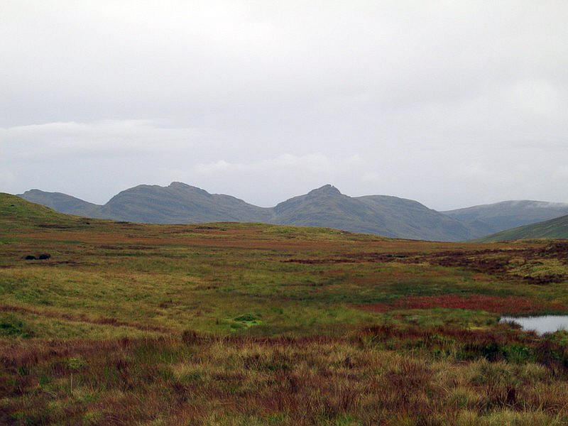
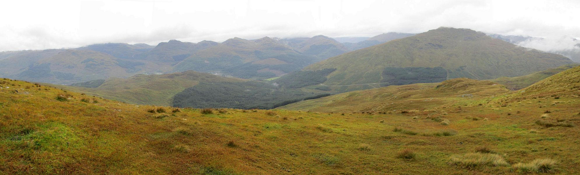
From left to right four Corbetts and a Munro: Ben Donnich, Beinn Lubhean, Beinn Ime (a Munro and summit under cloud), The Cobbler and The Brack.
Click on the image to see a larger photo and then click again to see the full sized image
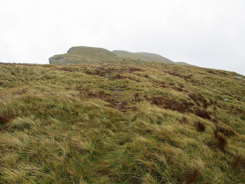
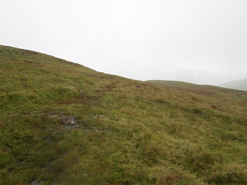
The path climbs gradually up the hill....
....and skirts around any small crags by keeping to the western side of the ridge.
As I started the climb the wind picked up and it started to rain again, with visibility reducing so I was half expecting to have no view from the summit.
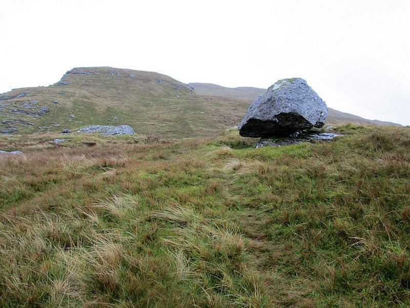
There are a couple of large eratic boulders perched on slabs - hard to believe how long they will have been here since the last ice age.
The path avoids any unnecessary climbs and skirts around several outcrops.
Rather surprisingly the path does peter out as it nears the summit so I put a waymark in my GPS just in case visibility got worse.
A panoramic view looking north west. Lochgoilhead is behind the hill in the left middle.
Click on the image to see a larger photo and then click again to see the full sized image
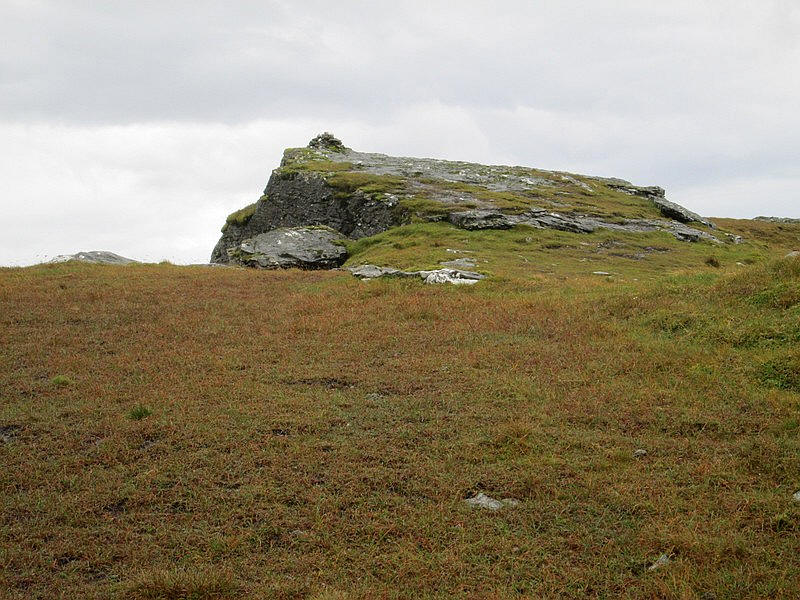
The summit cairn is on the top of this rocky outcrop
Just before reaching the summit there is a good view back up Long Long towards Arrochar and across to Loch Lomond at Tarbert. The high point in the right centre is ben Lomond which briefly became cloud free.
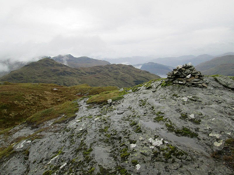
The cairn is perched on top of a rather greasy rock slab which I approached with great care. It had taken me exactly three hours from Ardgartan to reach the summit and precisely the time I had estimated using the Walk Highlands GPS tracking map.
The best views aren't from the cairn but a little further south looking over The Saddle. To the left is Loch Long, in the center behind the summit is the Clyde whilst on the right is Loch Goil just before it merges with Loch Long. To the left of The Steeple and just to the left of the cloud is the Gareloch.
I didn't linger very long on the summit as it was windy so I set off down the hill having decided to have lunch in the lee of the eratic boulder seen earlier.
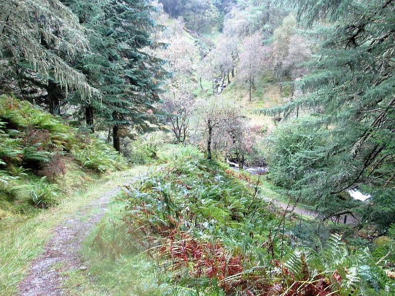
Having regained the Cowal Way I realised the next challenge was to get down to Lochgoilhead without slipping on the paths through the forests which I expected to be very wet.
The path begins to descend towards the forest that cover this side of the hills.
This gate and stile leads to ......
...a track which at first runs along the edge of the trees before....

....reaching a fire break which twists and turns downhill and seems interminable.
Eventually there is a signpost for Lochgoilhead and a much better track appears.
.....but still through wet fire breaks.
The track suddenly turns and descends sown a series of bends to reach....
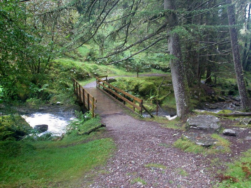
...a bridge over the Donith Water.
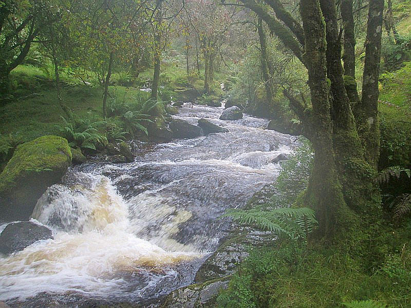
....which was in spate. Thankfully there were no streams to cross on this walk.
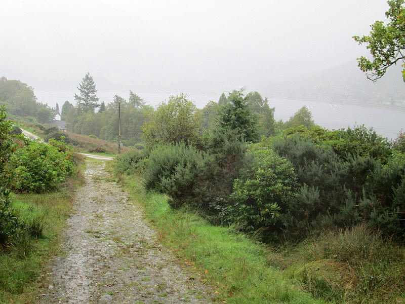
The path rises away from the stream...

...before emerging alongside the forest...
....and crosses a lane on the outskirts of Lochgoilhead.
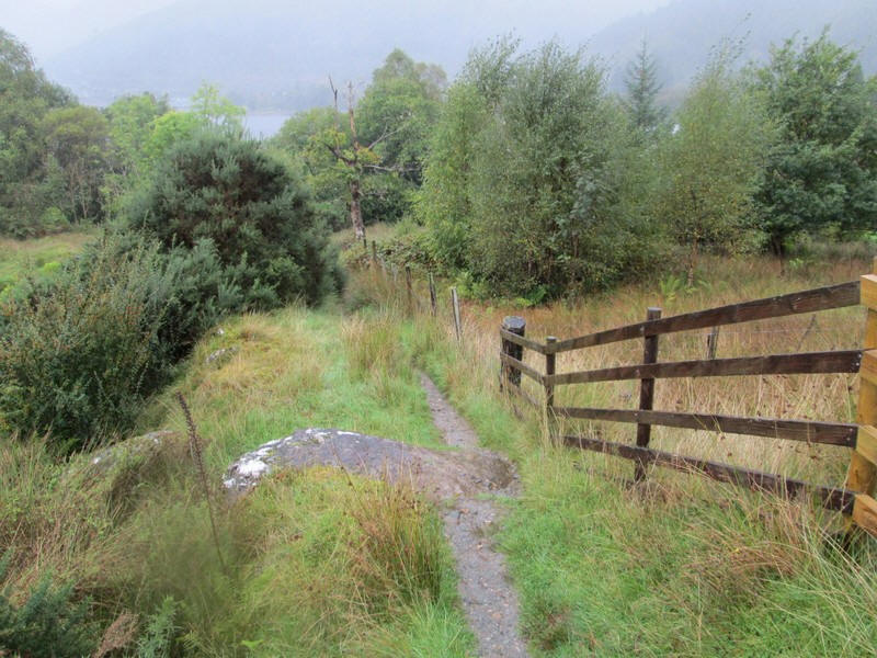
There's a path down the hill...
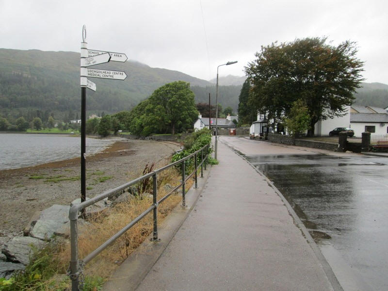
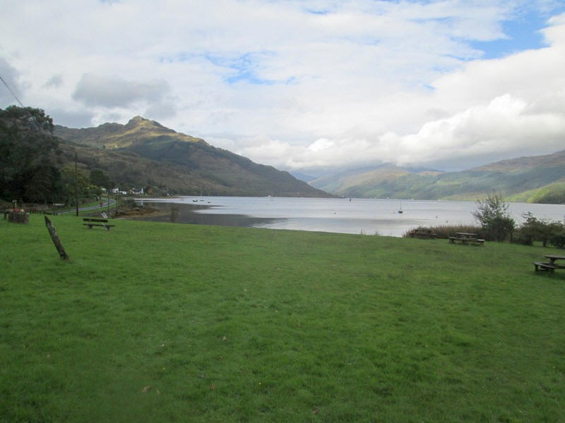
.....which emerges near the village post office and bus stop. Interestingly it had taken me two hours to get from the summit to Lochgoilhead which is much the same as the estimate for climbing the hill. The descent often needs much longer than expected (in this case about 30 minutes) due to the care needed to avoid slips.

Looking down Loch Goil. My bus was run by Garelochead Coaches and the service back to Helensburgh was at 1621 with a train from there back to Glasgow. There is a later bus at 1849 which goes as far as Arrochar and Tarbert station with a train connection to Glasgow.
I could also have got the bus run by West Coast Motors to Dunoon and then the ferry to Gourock and train to Glasgow. However, this late afternoon service only runs on schooldays and also varies depending on the day of the week.
Having arrived in Lochgoilhead too early I decided I would take the bus down by Loch Goil to Carrick Castle at 1536 just for the ride. We set off with one other passenger and about six infant school children who were picked up by a mother at one of the road junctions and then continued to Carrick Castle. After a break of 15 minutes the bus set off back to Helensburgh. Sadly I was the only passenger the whole way. The fare - £3.15 from Carrick Castle to Helensburgh!
Looking up Loch Goil from Carrick.

Carrick Castle is obviously closed and needs some repairs. The castle was built in the 15th century by the Campbells (and inevitably Mary Queen of Scots spent a night there in 1563).
In 1877 a wooden pier was built at the castle, and a three-storey building called Hillside Place was constructed to provide apartments for visiting tourists. This was followed by several villas built along the shore road for Glasgow merchants.
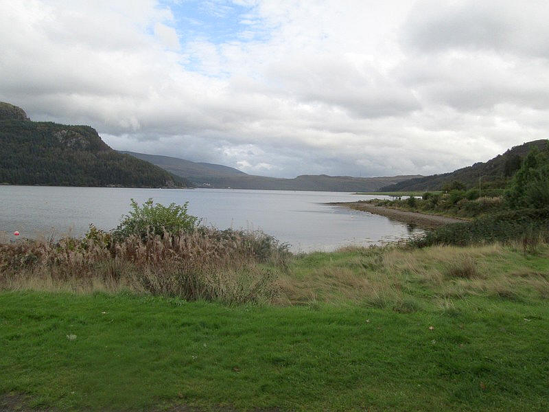
Looking down Loch Goil to where it joins Loch Long
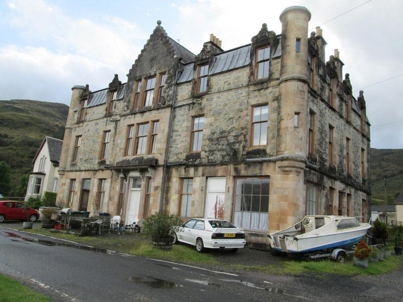
The hotel has clearly seen better days. Perhaps one day it might make a "country house hotel"?
An interesting account of the steamers to Loch Goil and Loch Long can be found here.
https://www.dalmadan.com/?p=7893