Creag Meagaidh circuit
The map can be resized and dragged using your mouse.
I did this walk in August 2015 driving to the large car park at Creag Megaidh National Nature Reserve by the A86 between Spean Bridge and Newtonmore. The Creag Meagaidh circuit is one of the classic walks in the Highlands and allows no fewer than three Munros to be climbed relatively easily in one day.
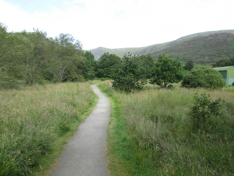
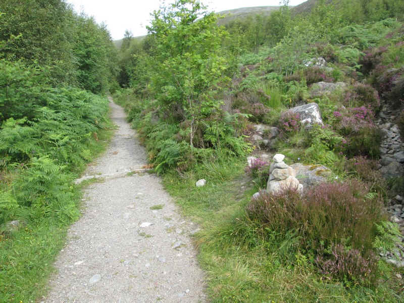
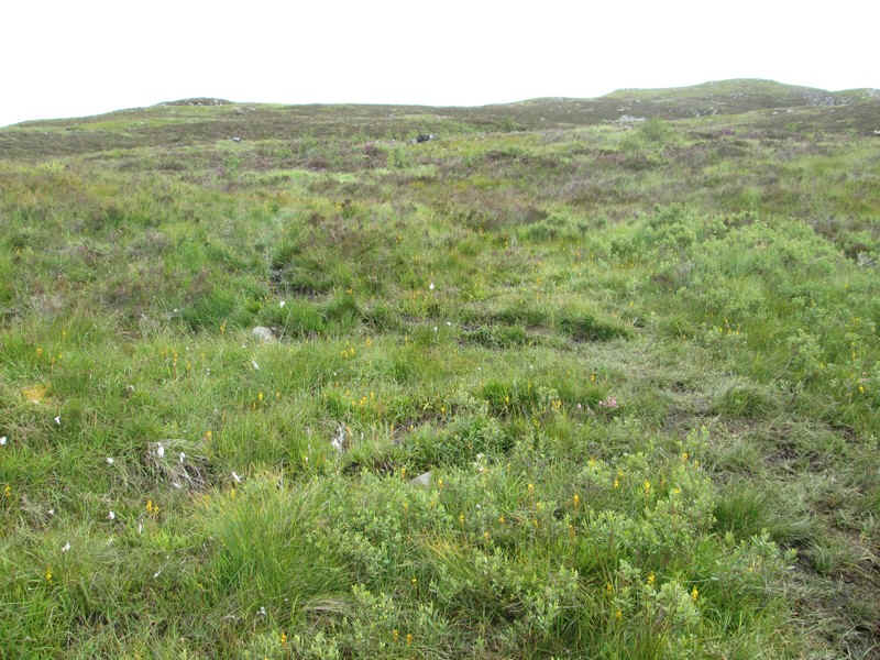
The way to the hills starts along the prepared path to the....
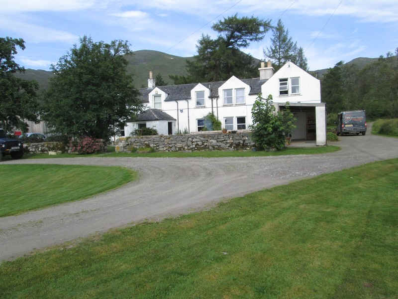
...buildings at Aberarder.
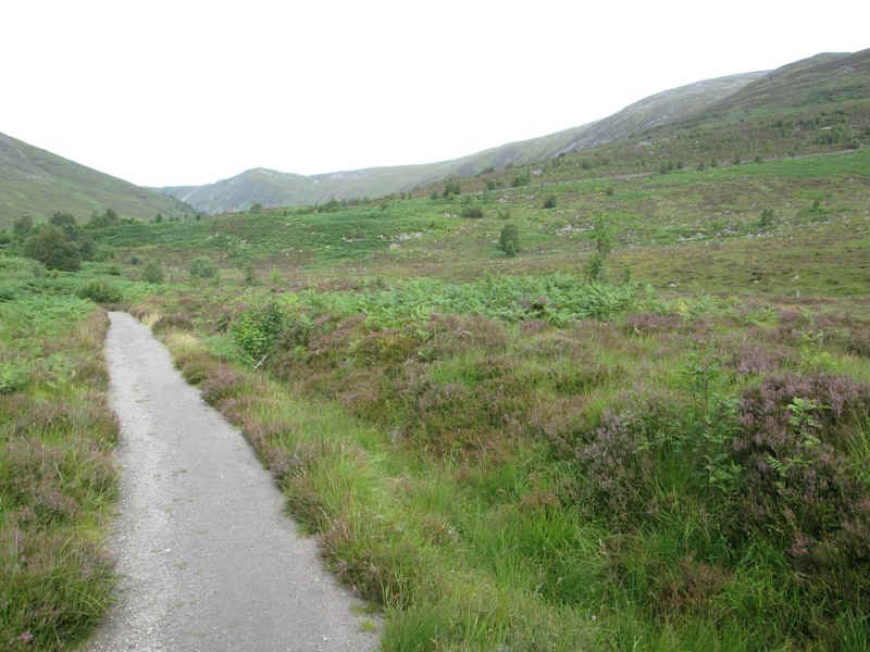
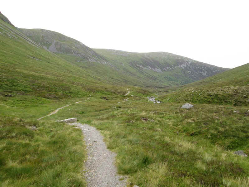
The path continues gently uphill...

...to reach the junction of the track up to Coire Ardair.
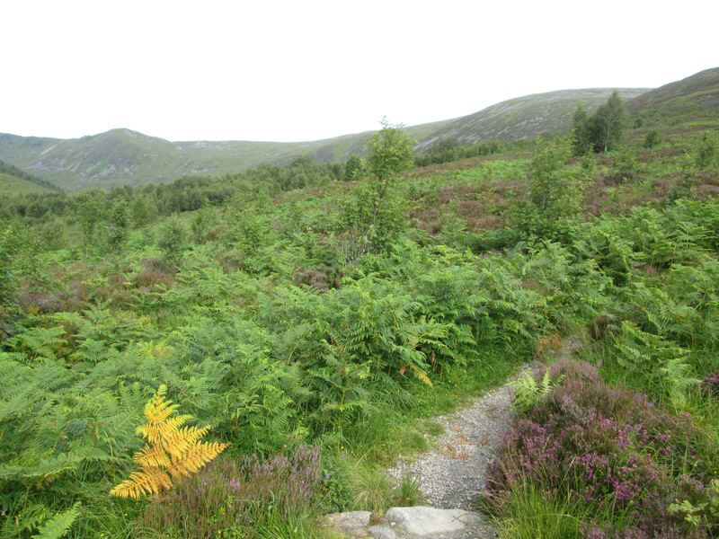
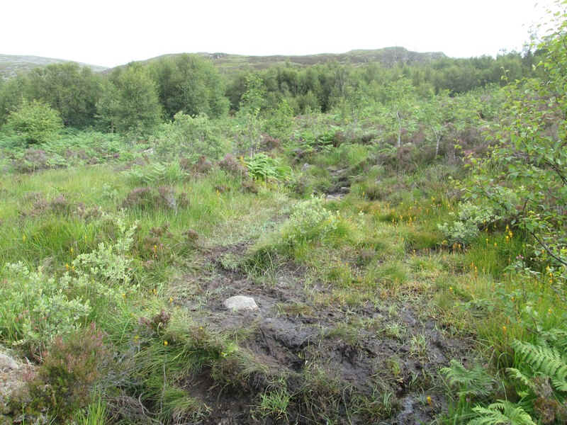
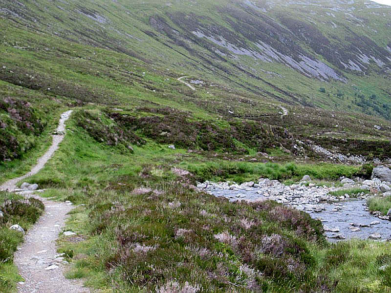
This climbs steadily through bracken...
...to reach some woodland where a small cairn marks the start of a very rough path...
..that climbs up through the trees...
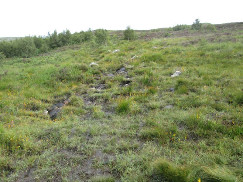
...until it reaches the open hillside.
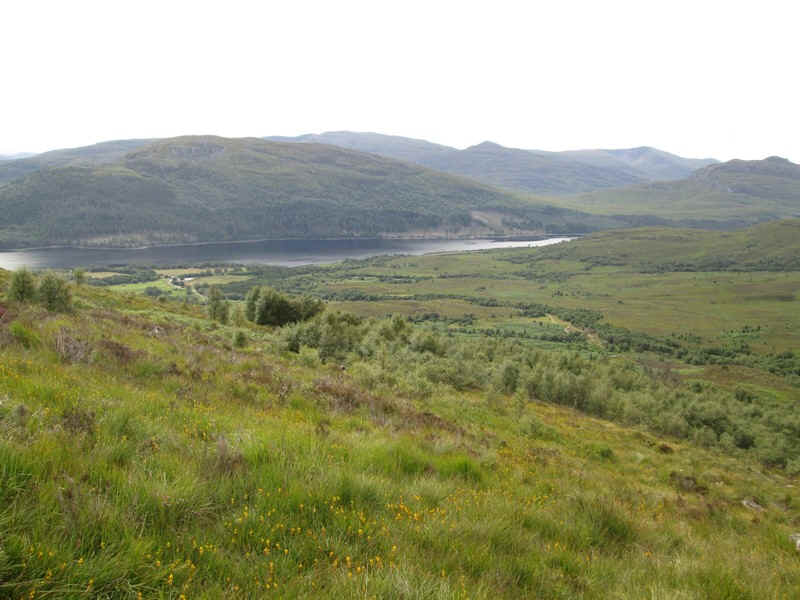
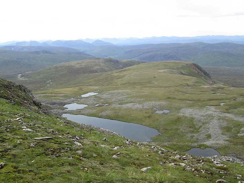
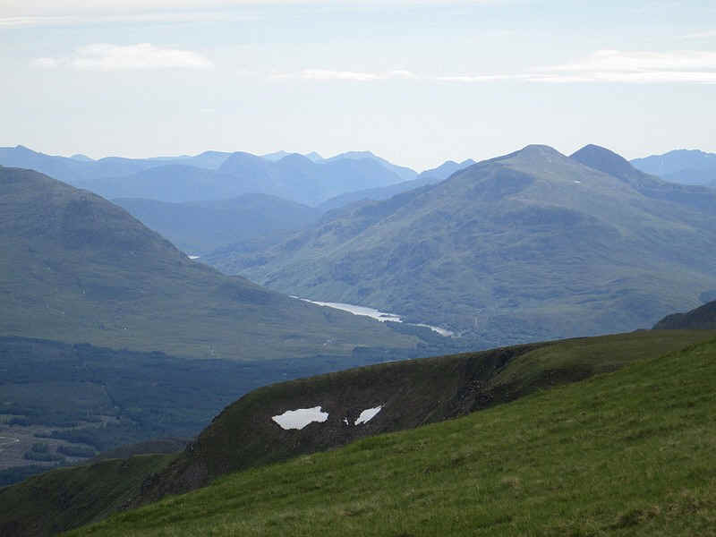
Looking back the waters of Loch Laggan can be seen.
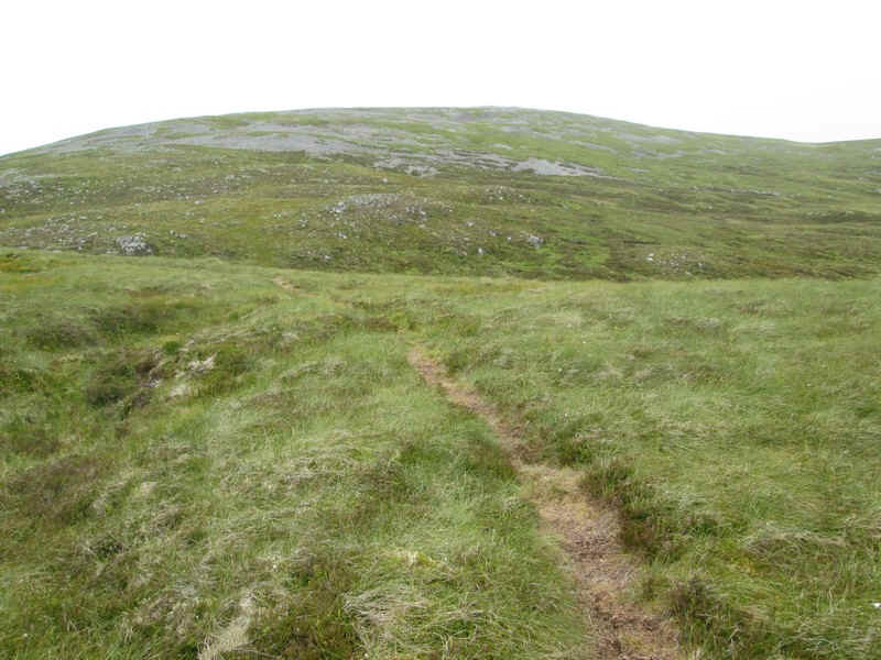
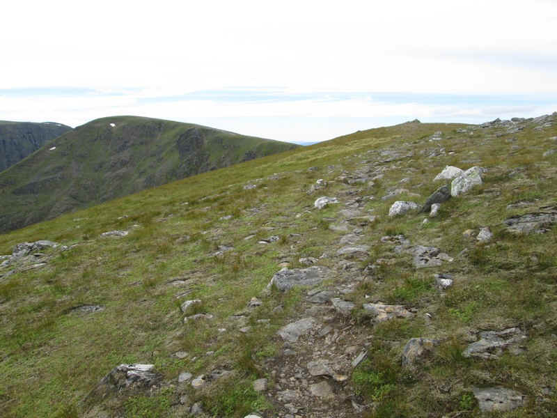
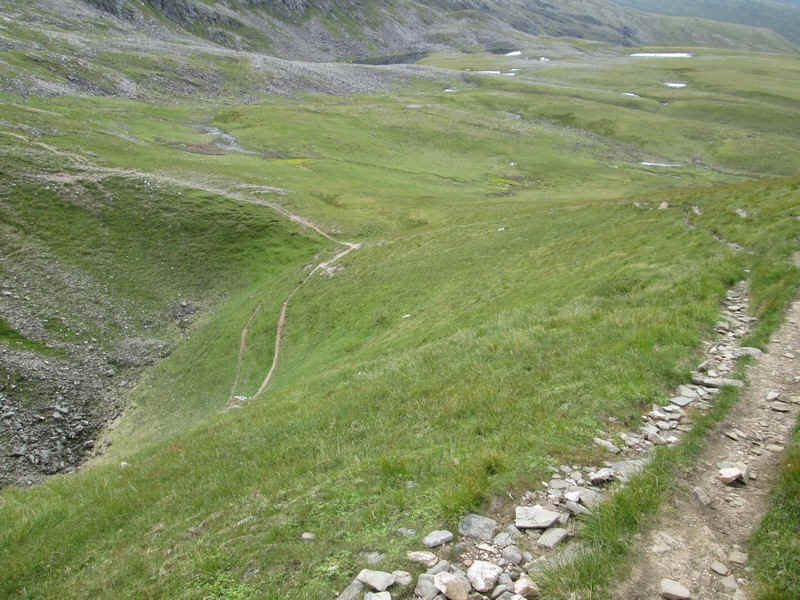
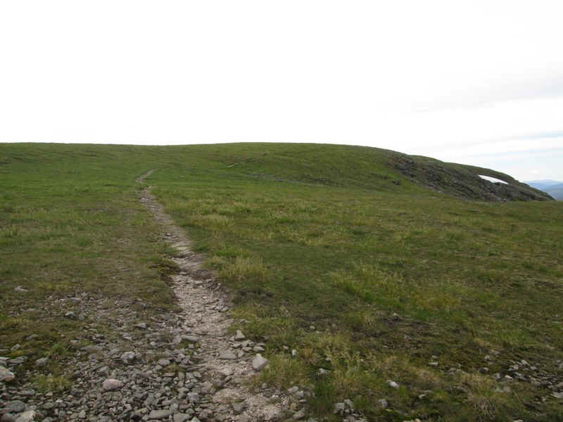
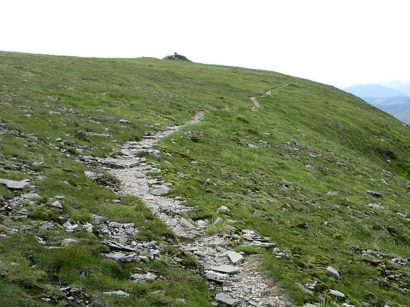
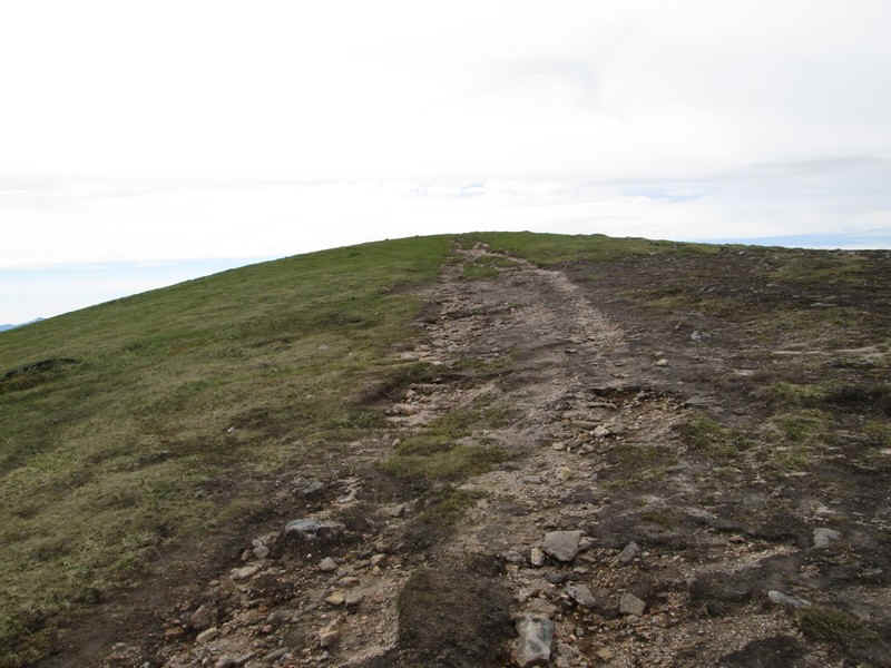
There's a fairly clear path all the way to the summit...
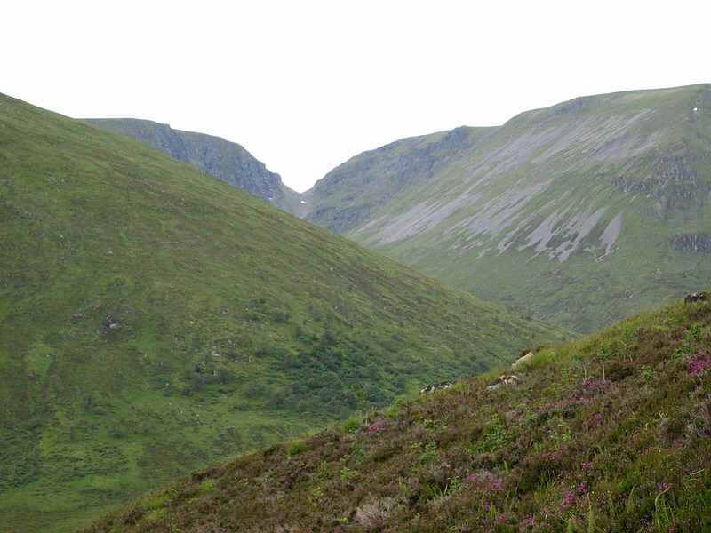
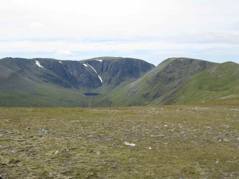
....and soon the first view of the tremendous cliffs of Creag Meagaidh appears on the left with the defile that is The Window next to it and the Munro Stob Poite Coire Ardair on the right
The climb continues steadily...
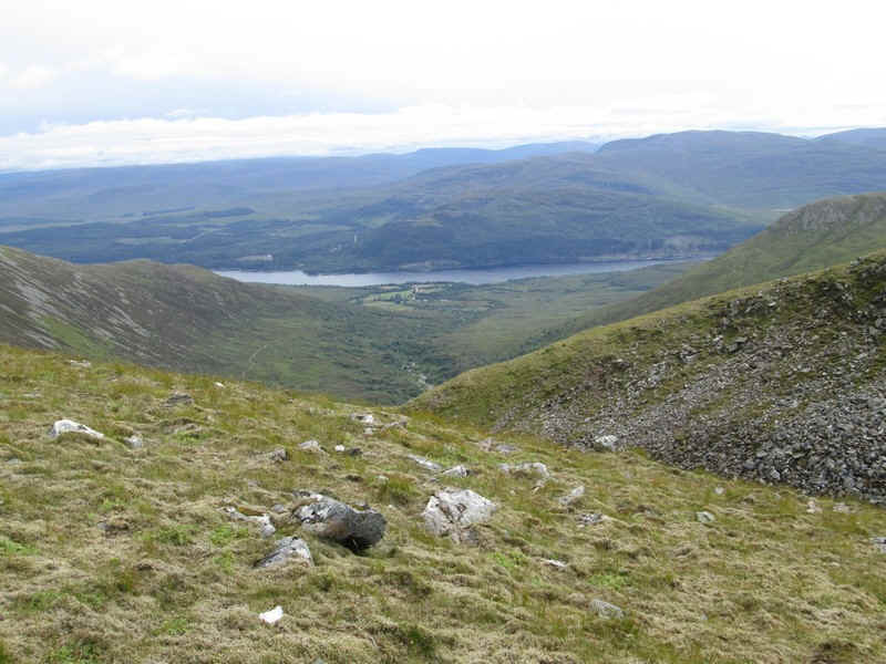
....to reach the small coll near Na Cnapanan at about 600m. The view is towards the east end of Loch Laggan at Kinloch Laggan.
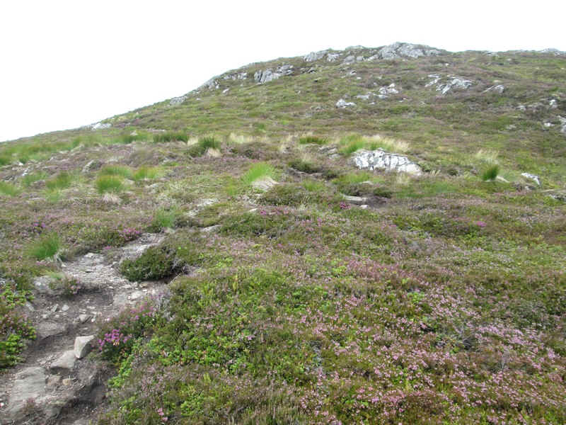
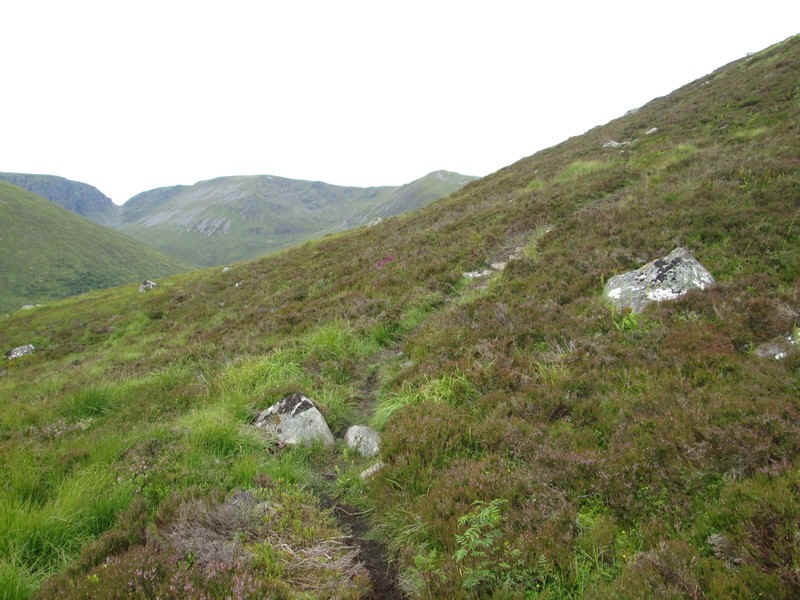
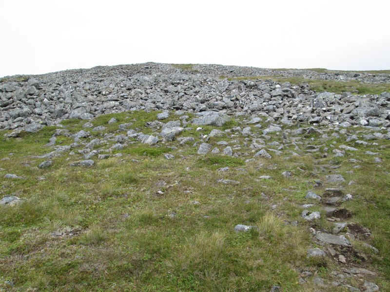
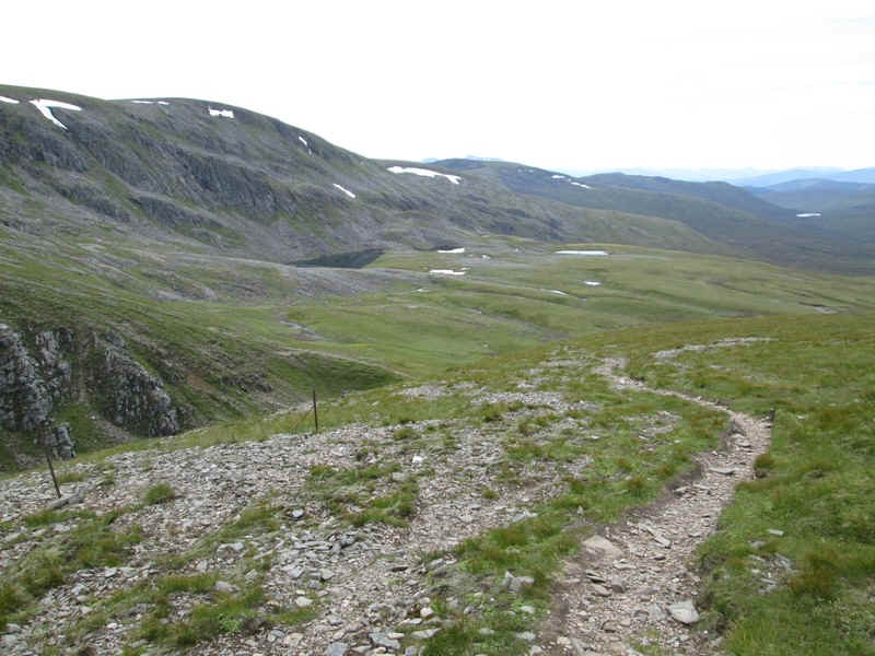
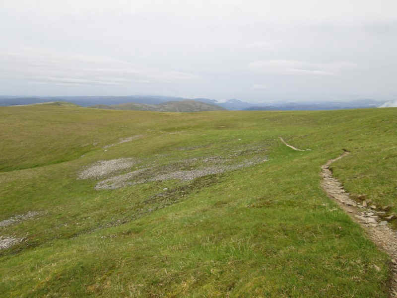
The path winds uphill through heather and rocks...
....before crossing grass and the start of stonier ground.
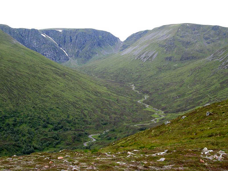
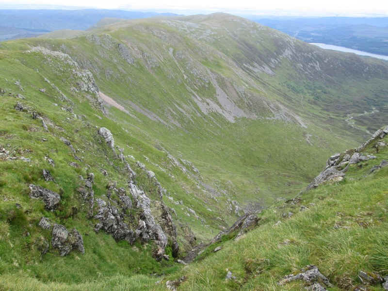
Another view looking into Coire Ardair towards Creag Meagaidh and The Window. The day's return path can be seen on the hillside.
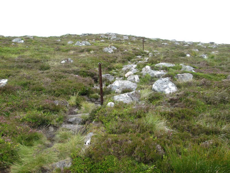
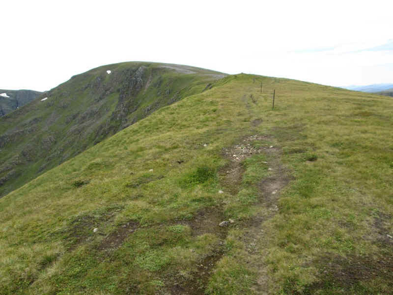
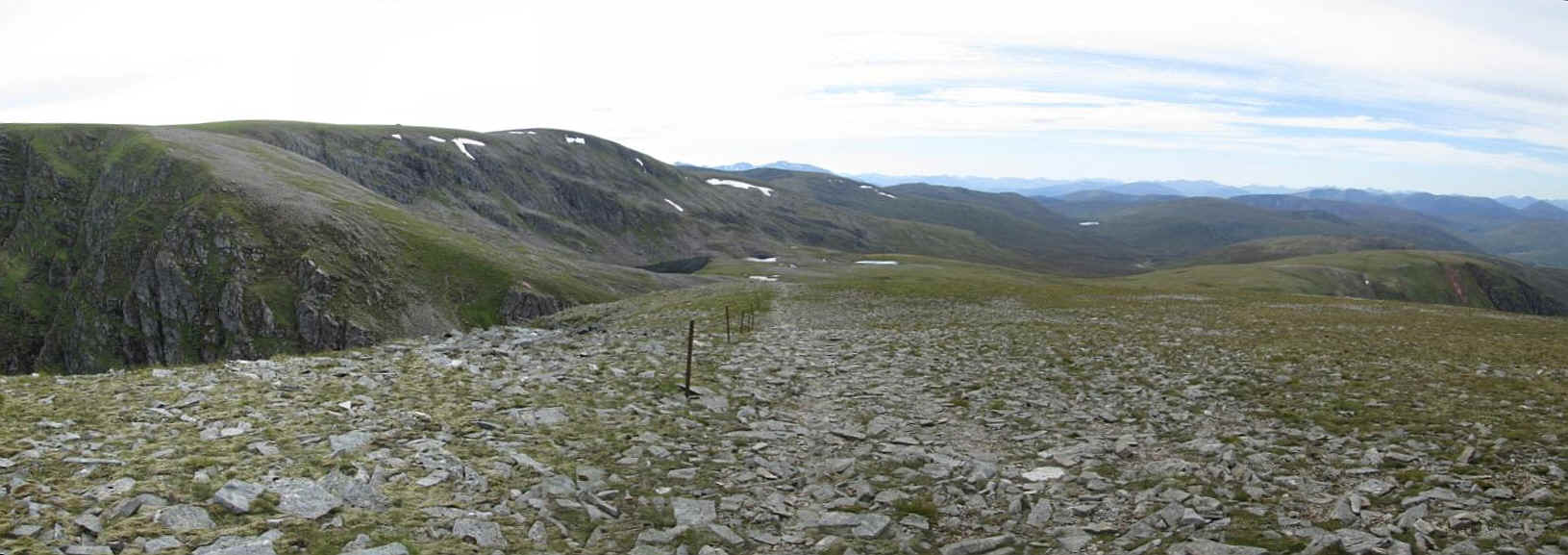
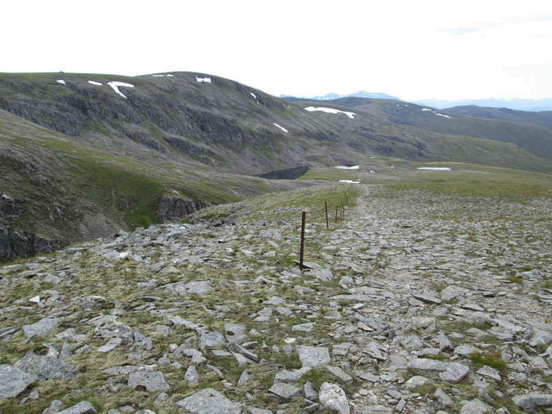
The path now follows the line of an old fence..
...before winding through rocks...
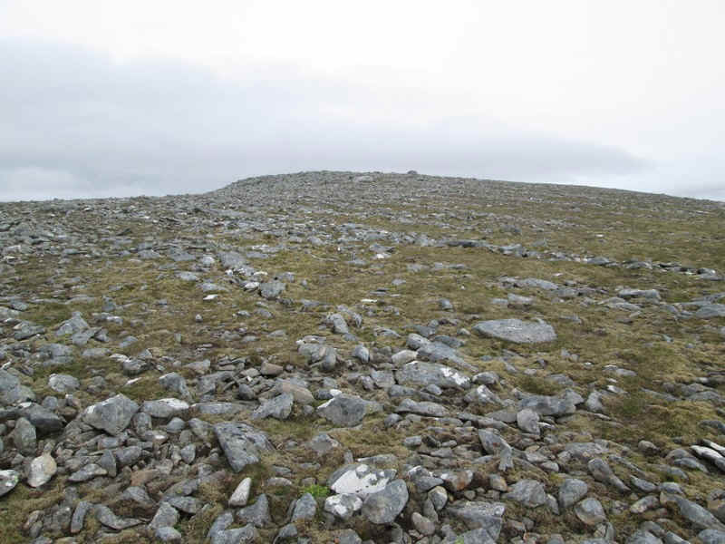
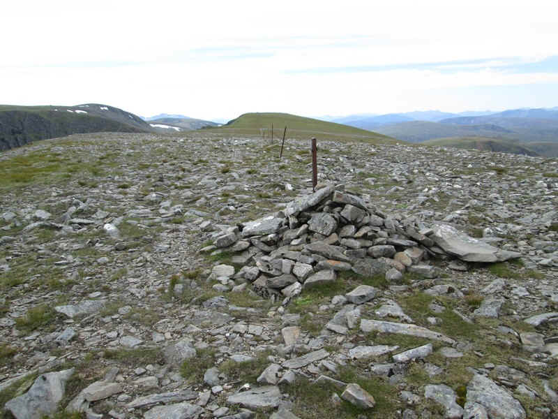
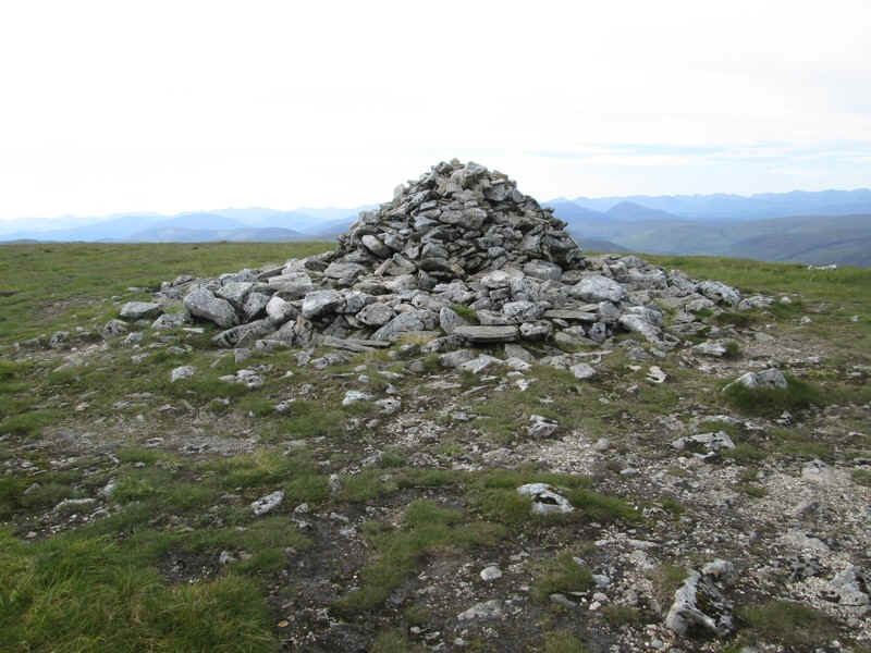
...to reach the summit dome of Carn Liath
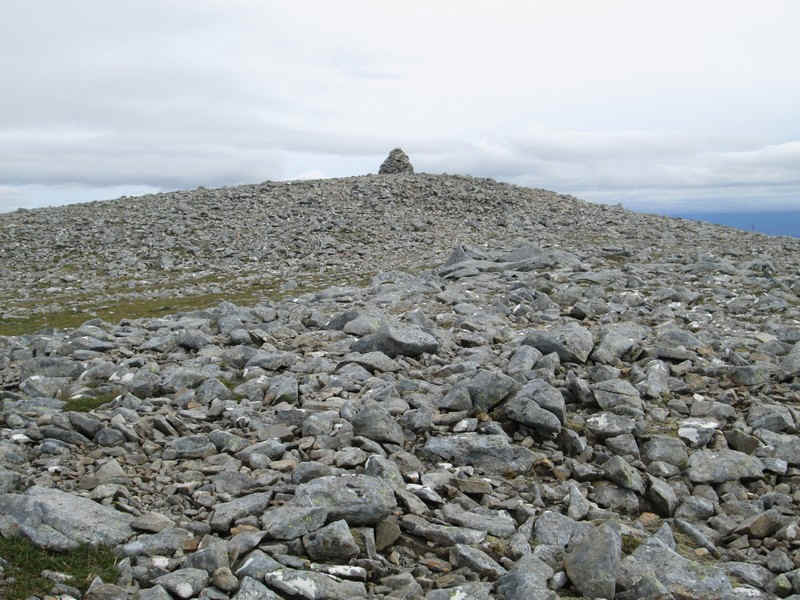
...with its cairn at 1006m. It had taken me about two and a half hours from the car park.
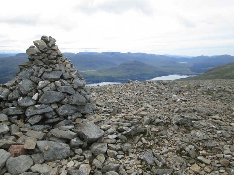
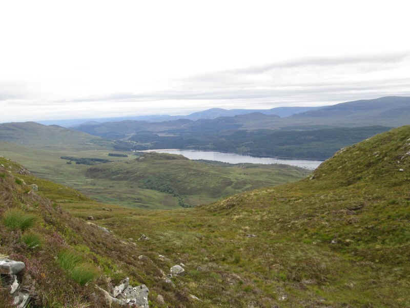
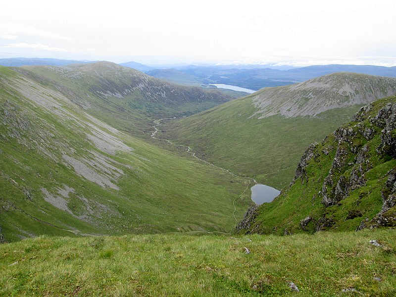
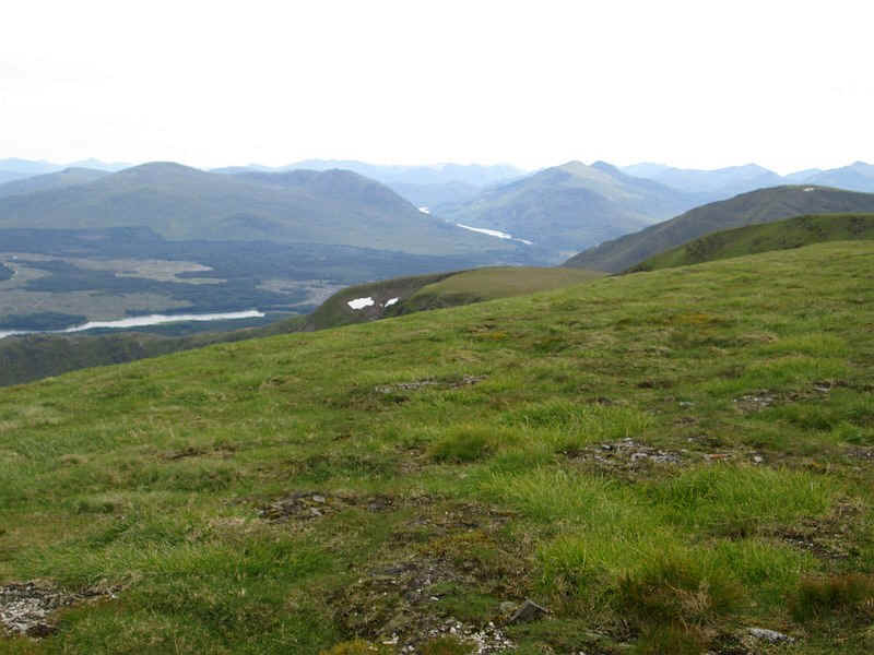
There are three lochs visible from the summit. In the foreground is Loch Laggan. Just to the left of the cairn is the smaller Lochan na h-Earba, whilst over to the left beyond the end of Loch Laggan is Loch Guhilbinn, which is about 10 miles away.
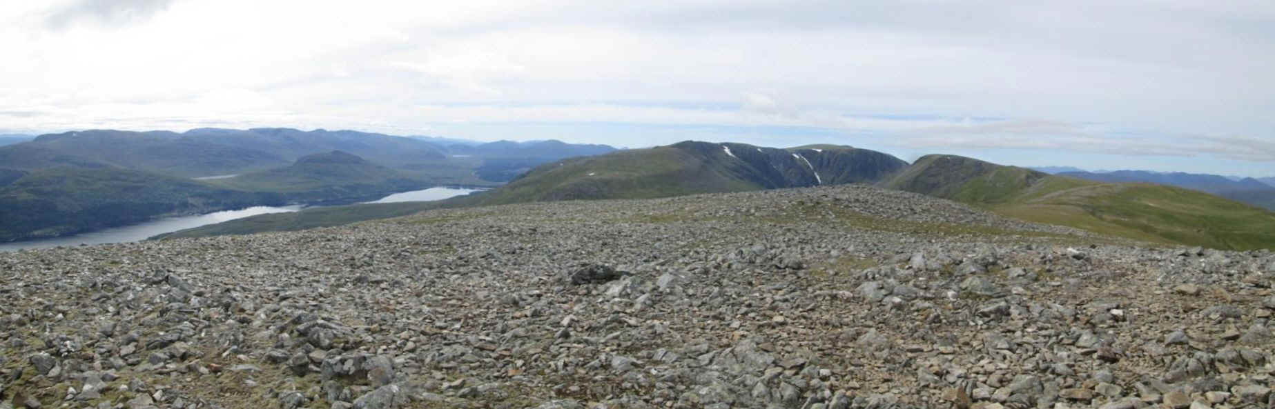
Click on the photo to see a larger panorama of the view from the summit of Carn Liath.
After a short lunch break it was off to the next Munro, Stob Poite Coire Ardair. I didn't try to find the path along the ridge and simply headed off in a straight line towards...
....the low point near spot height 917m named Uinneag Coire a'Charoainn on the OS map.
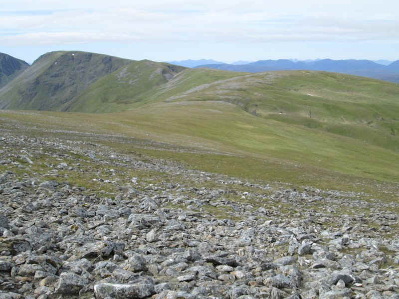
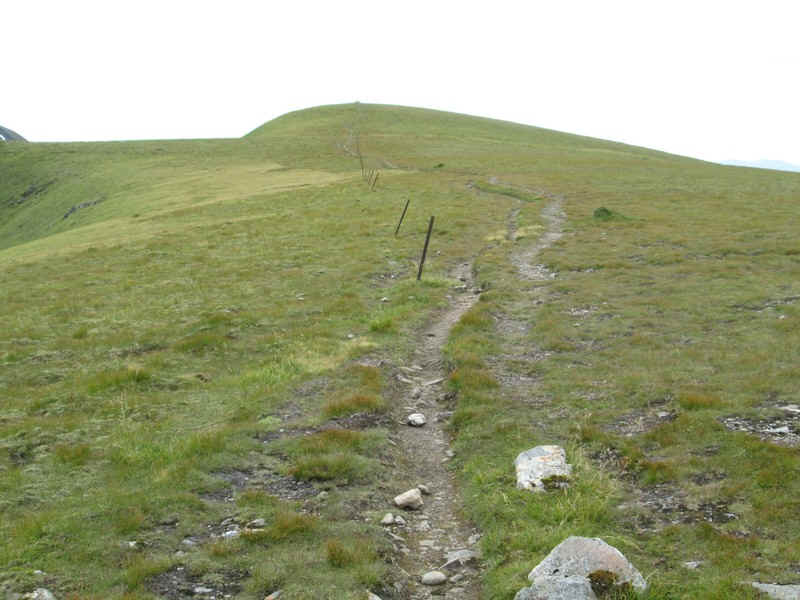
The ridge is very broad...
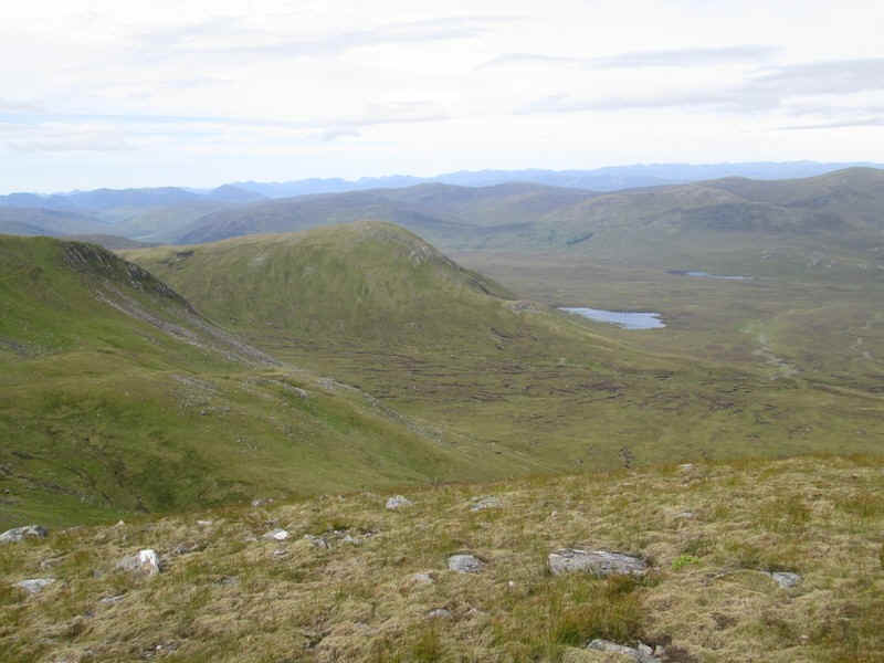
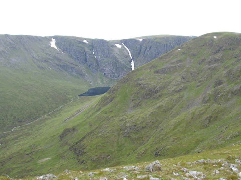
...and it is here that the first view of Lochan a'Choire appears.
After crossing some more stony ground near Uinneag Coire a'Charoainn...
... a clearer path appears as it climbs towards the top at Meall an t-Snaim.
Ahead is Stob Poite Coire Ardair with the drop before it, at Uinneag Min Choire, now visible.
The path follows a line of old fence posts...
...before dropping down into the Uinneag Min Choire.
Looking to the north west is the small Loch a' Bhanin...
,,,whilst the other way is Loch Laggan.

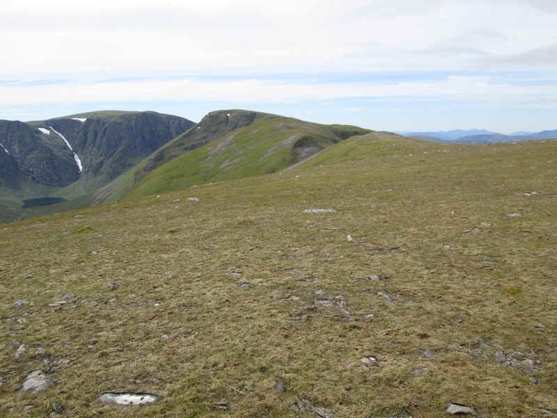
From the bottom of the Uinneag Min Choire there's a good view looking back to Carn Liath.
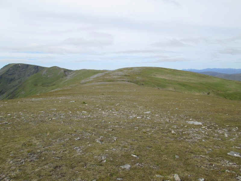
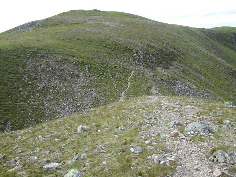
The path climbs to the 993m spot height summit of Sron Coire a' Chrioshairein...
...before crossing a surprisingly narrow section of the ridge....
.....as it heads around the edge of Coire a' Chriochairein.
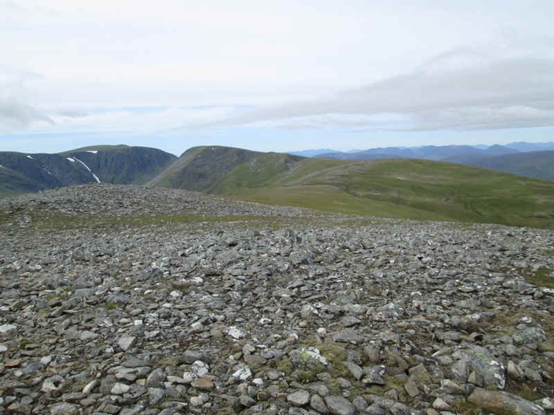
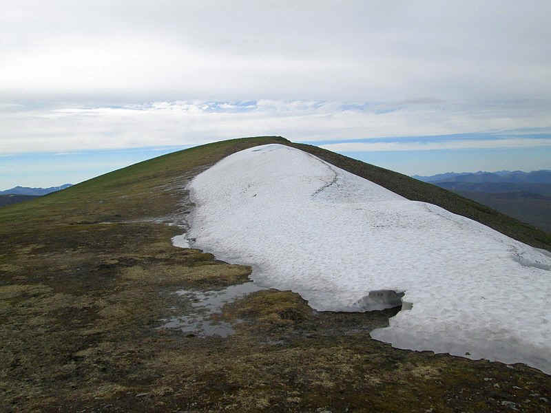
Looking across the corrie there is clearly a considerable amount of snow left in the gullies even in mid August
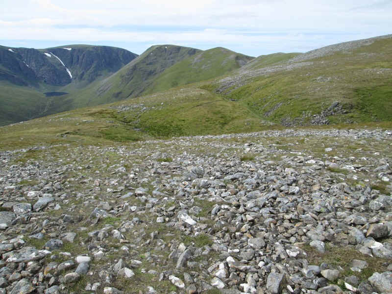
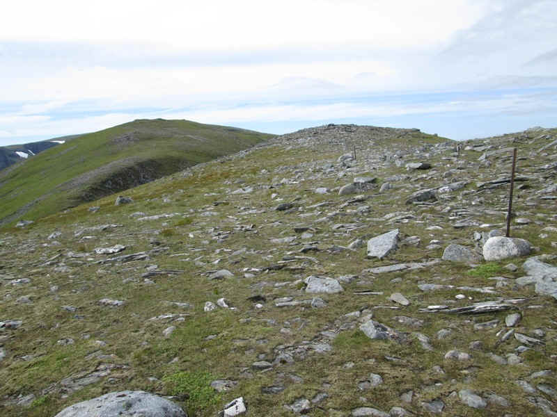
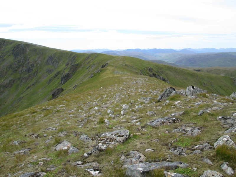
A view looking back along the long ridge towards Carn Liath.
At spot height 1050m there is a cairn, whilst the fence posts head straight to the summit..
...of Stob Poite Coire Ardair.
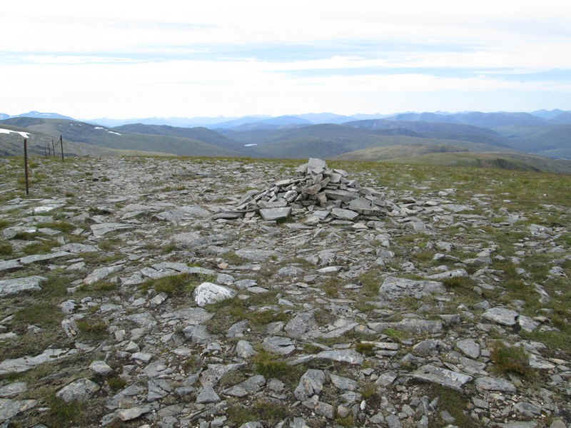
On the summit (1054m) there is a surprisingly small pile of rocks. The walk from Carn Liath had taken about one hour and forty five minutes.
Panorama from the summit looking towards Creag Meagaidh. Click for a larger view.
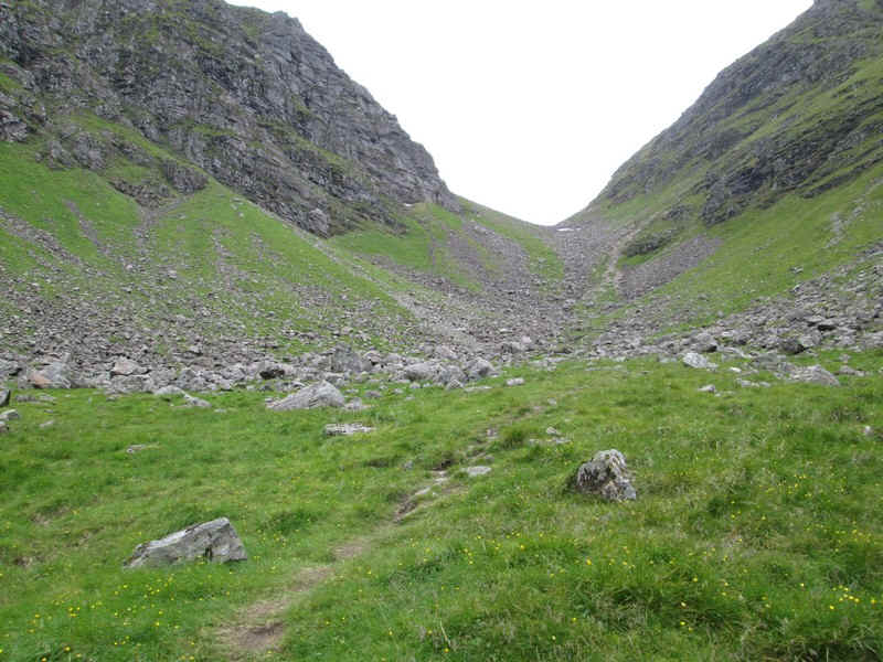
By this stage I'd decided that I was going to continue and climb the third Munro in this group of hills as I had plenty of time and the weather, although obviously deteriorating from the east, was still good. The track heads gently downhill...
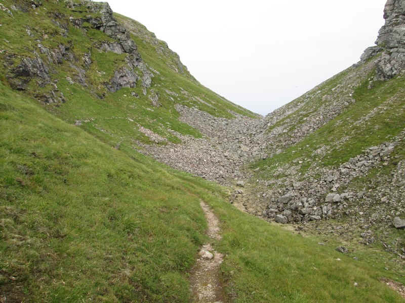
....to the coll at The Window....
....where the return path down into Coire Ardair can be seen.
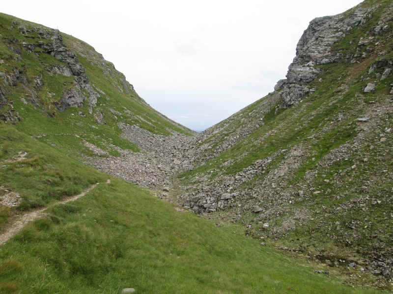
Looking through The Window.
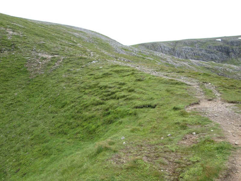
The track up to Creag Meagaidh is clear and quite easily graded. The climb to the summit and back took only an hour and twenty minutes.
The path uphill climbs quite close to the edge of the cliffs with a really good view down into the corrie.
There are numerous side paths on the way up but I cut across towards the western side of the ridge..
...which had good views down to Lochan Uaine.
Ahead is Mad Meg's cairn which some walkers have thought was the summit.

According to legend the cairn marks the 18th century grave of a local woman who committed suicide and was refused burial in the local kirk yards. She was buried here by her family who covered the grave with stones and sand.
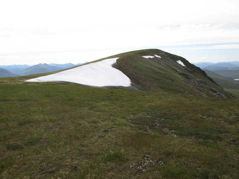
As the summit came into view, I was amazed to see the remnants of a large cornice still in place.
There was clearly well over a metre of snow left and, as can be seen, the ground near by was saturated with melt water.
In this zoomed image the waters of Loch Treig can be seen. The hills to the right are Stob a' Choire Mheadhoin and Stob Coire Easain.
The final climb to the summit is across sandy turf....
....with the cairn of Creag Meagaidh being at 1128m. The walk from the car park had taken just under six hours of which probably about an hour had been spent taking photos and having lunch and snacks.
The only worthwhile summit view was again towards Loch Treig as most of the other hills are far away and appearing only as silhouettes.
I returned to The Window on the western side of the hill, away from the Coire Ardair cliffs..
...and then started the trickiest part of the day's walk - the descent from The Window.
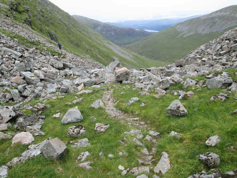
Near the top I encountered two French walkers who seemed to be having trouble finding a way through the boulders and asked how far to the top. They looked experienced so I explained where the path to Creag Meagaidh went and how far it was and then left them to it!
The boulders aren't as bad as they look and there is a semblance of a path over most of it but I was glad I had decided to climb Creag Meagaidh as part of a circuit rather than as an out and back walk.
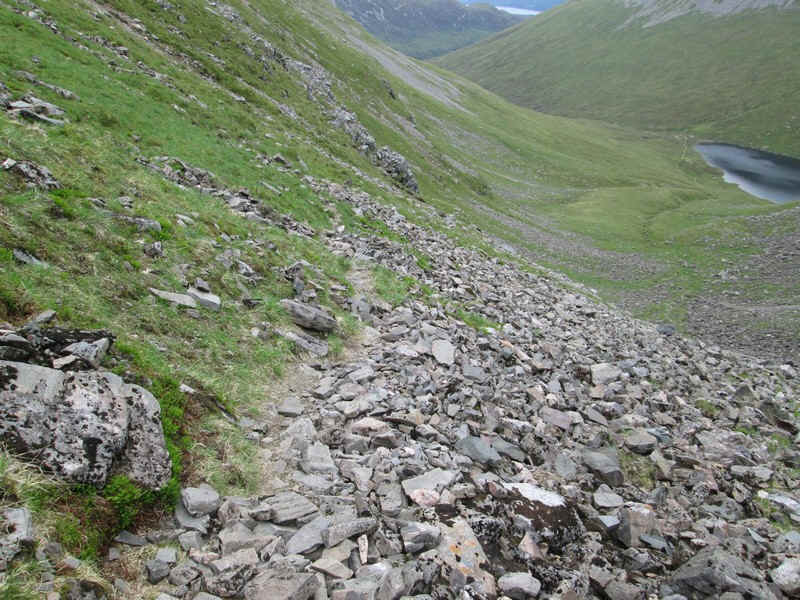
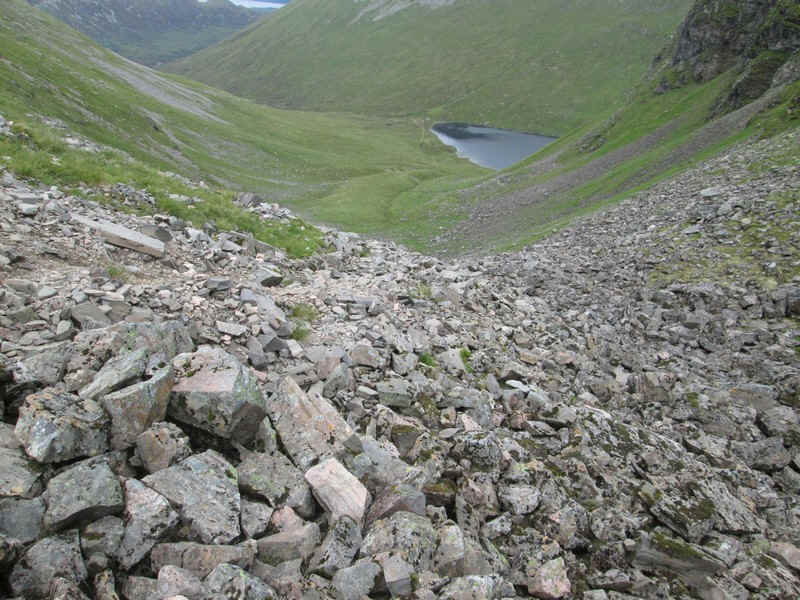
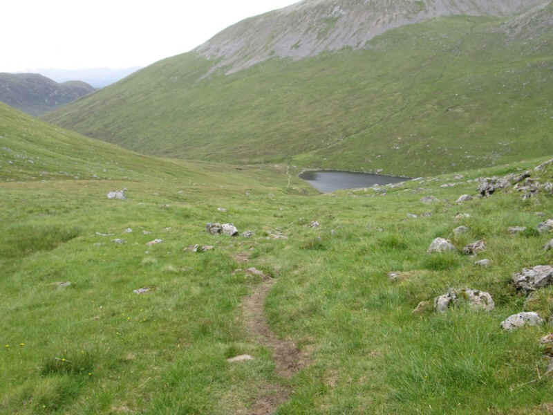
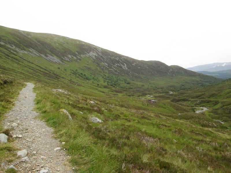
Soon a proper track establishes itself and....
...as it heads down to Lochan Coire Choille-rais steadily improves.
A last look back at The Eindow. It's not as bad as I was expecting.
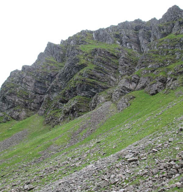
One of the reasons to visit this area is to see the incredible rock formations above the lochan.
The path changes to a gentle stroll over grass...
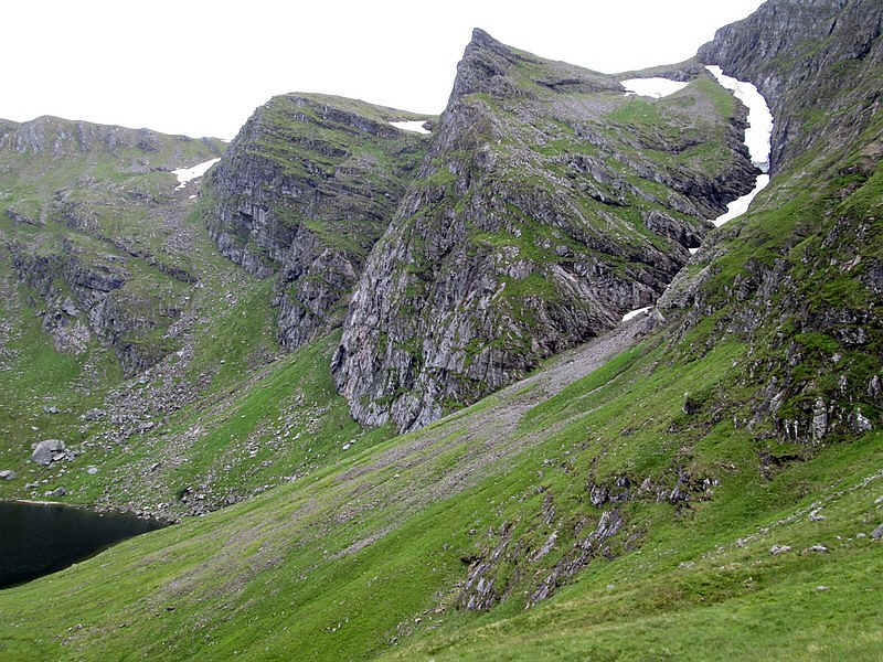
...but the eye is pulled again and again to the cliffs.
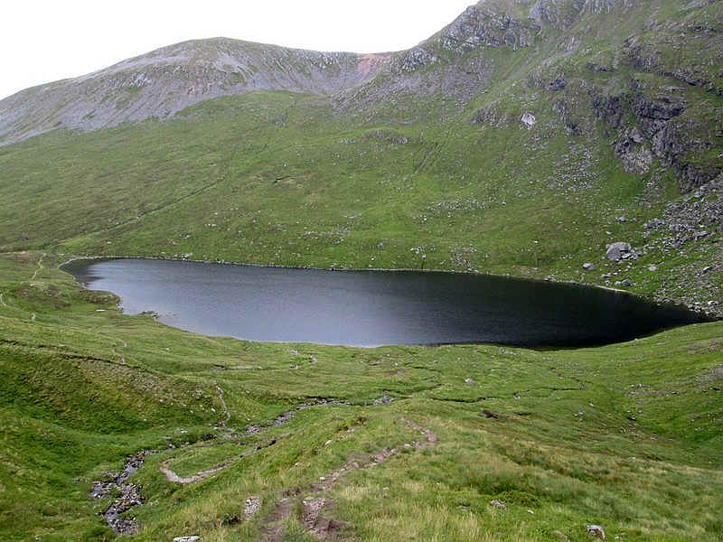
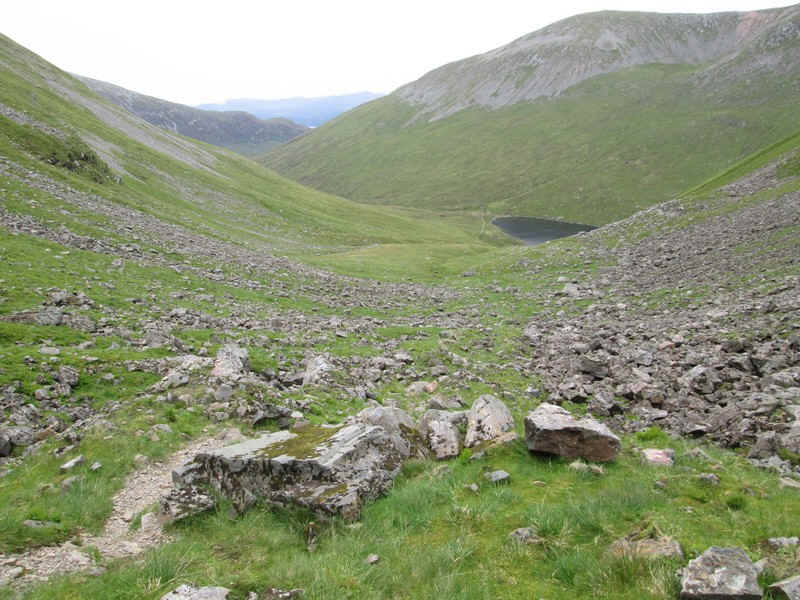
Lochan Coire Choille-rais
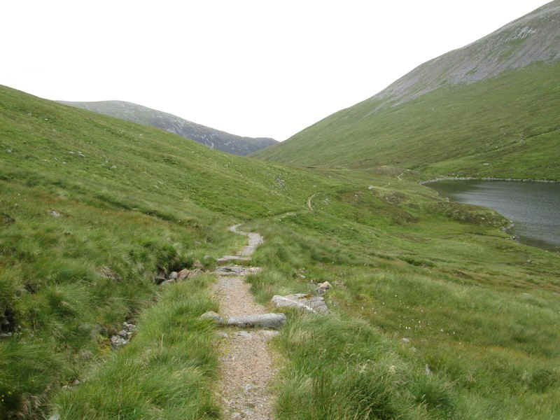
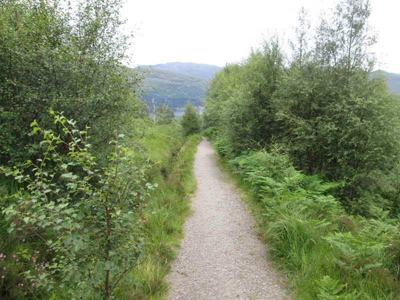
Once down at the lochan the prepared path is reached and after that it is almost like a stroll in the park!
The path follows the burn gently down hill...
....before starting, slightly surprisingly, to climb away from it.
It then contours around the slopes of Carn Liath before...
...reaching woodland and the point where the hill path to Carn Liath branches off to the left. Then it's just a short distance back to the car park. The entire walk had taken about nine hours including breaks.