Creag Pitridh
The way points on this map are taken from my GPS Spot tracker. You can make the map bigger or alter its appearance by clicking on the controls.
The plan for this day (in June 2017) had been to attempt the three Munros, Beinn a'Chlachair, Geal Charn and Creag Pitridh. However, the weather forecast was extremely poor with heavy rain and glaes so I had decided instead to just try to reach the col at Bealach Leamhain and enjoy being out in the hills. As it happens I didn't reach the bealach but did climb Creag Pitridh
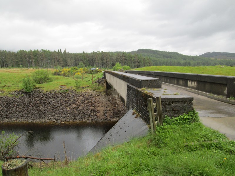
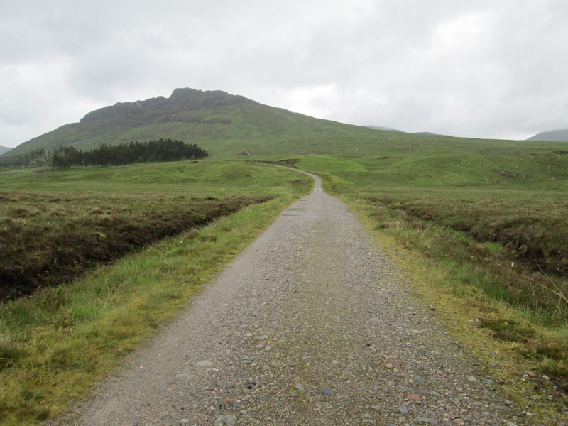
Having parked the car in the layby near Moy (NN432 830) I set off across the bridge over the canalised River Spean.
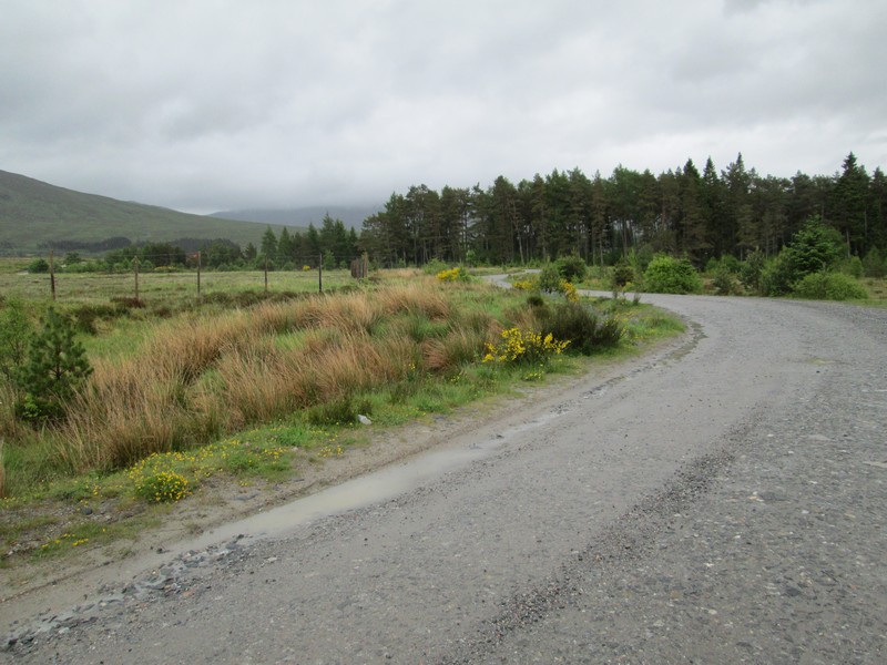
After a few hundred yards, and just before a small plantation,.....
...turn off to the left. If you bear right and find yourself crossing a bridge over another river (like I did) you are on the wrong track!
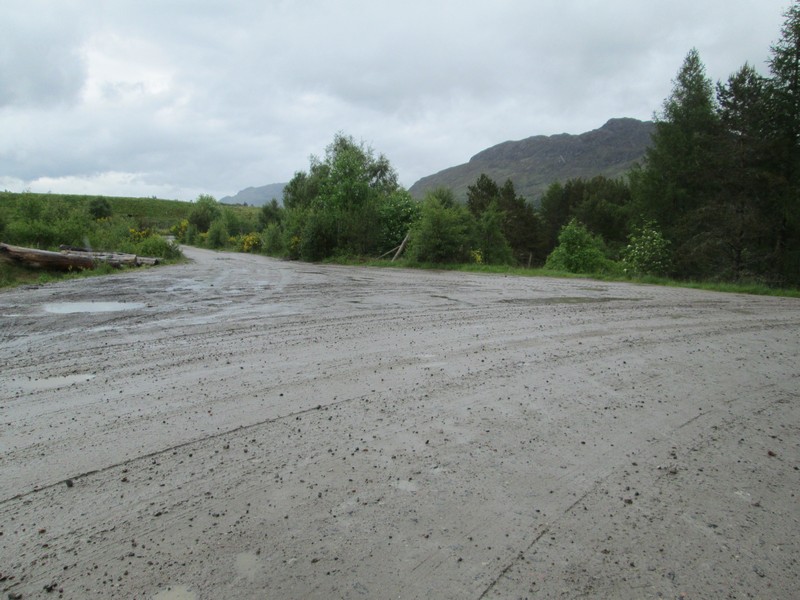
The broad vehicle track climbs above the Abhainn Ghuilbinn stream ...
...and after passing a large gravel pit heads off to....
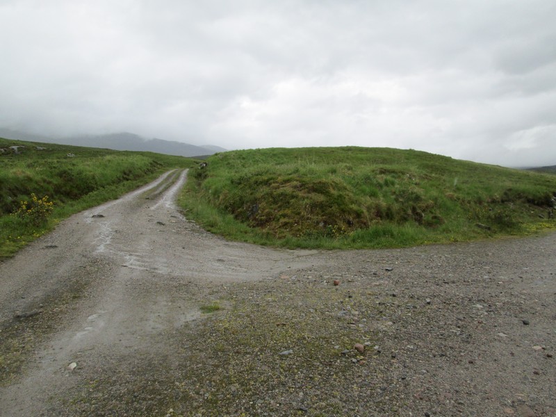
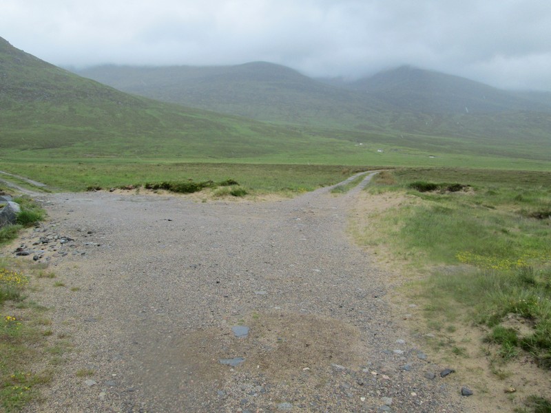
...another junction where you turn sharp right.
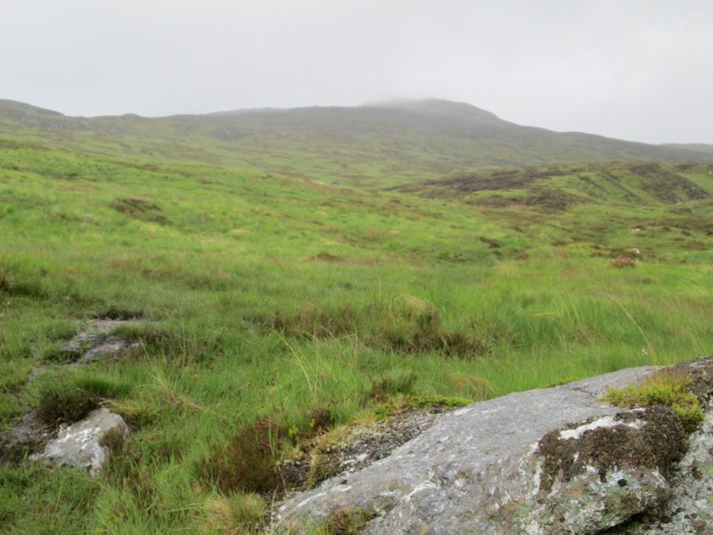
Looking back with the Munro Beinn a' Chaorainn hidden under cloud.
The track now climbs to a low saddle...
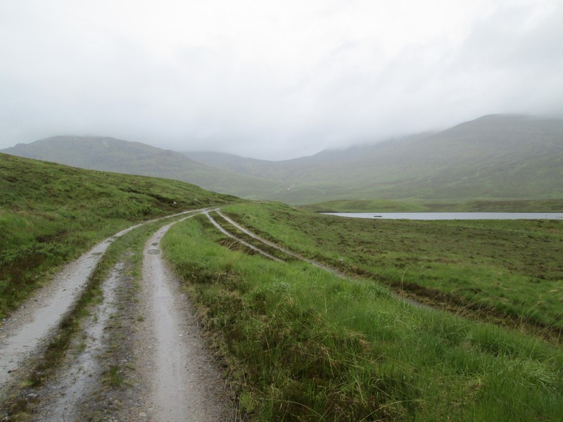
...and passes a small reservoir.
A slight downhill section reveals Lochan na h-Earba....
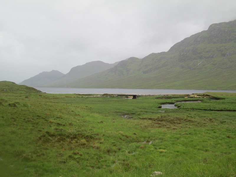
....with the bridge over the streams that feed the lochan.
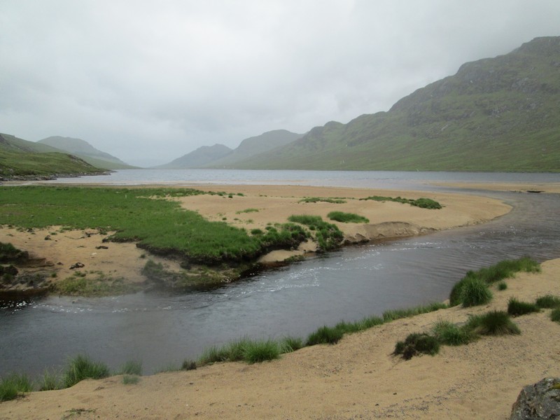
The amzing sandy beaches of Lochan na h-Earba often make this area especially attractive in sunny weather but not on this day.
After crossing the bridge the right fork is the way forward and away from the lochan.
There's a small cairn at the start of a cut-off path and....
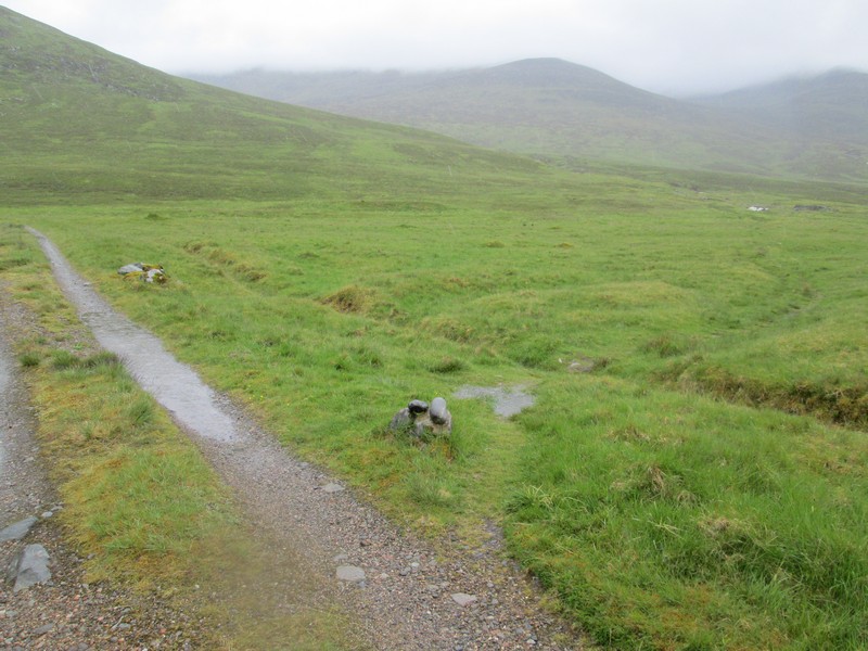
....after a few hundred yards the main track, which loops around, is rejoined.
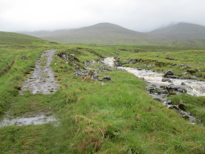
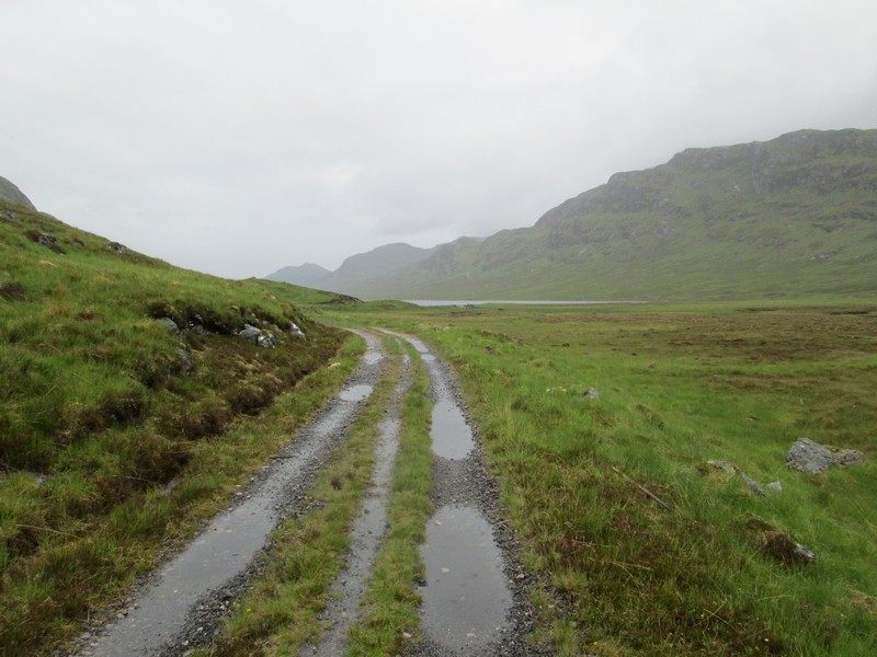
It's now clear that the rivers are in spate and I begin to wonder if I will have a problem at the point where the track crosses the stream at a ford (NN473 805) .
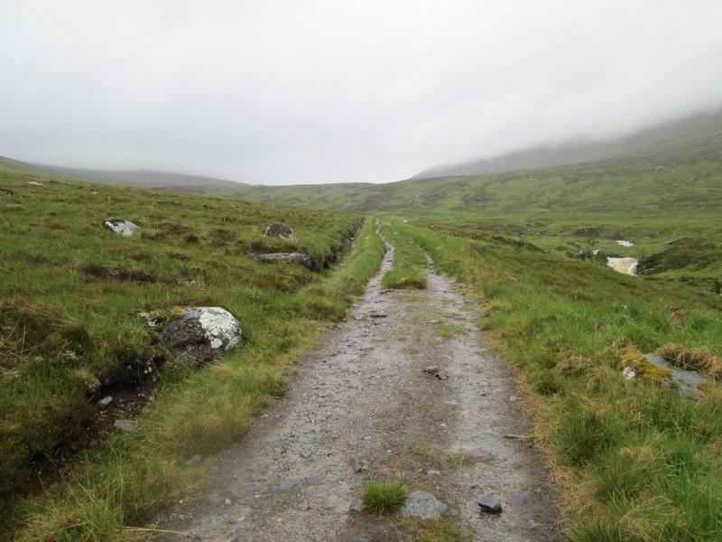
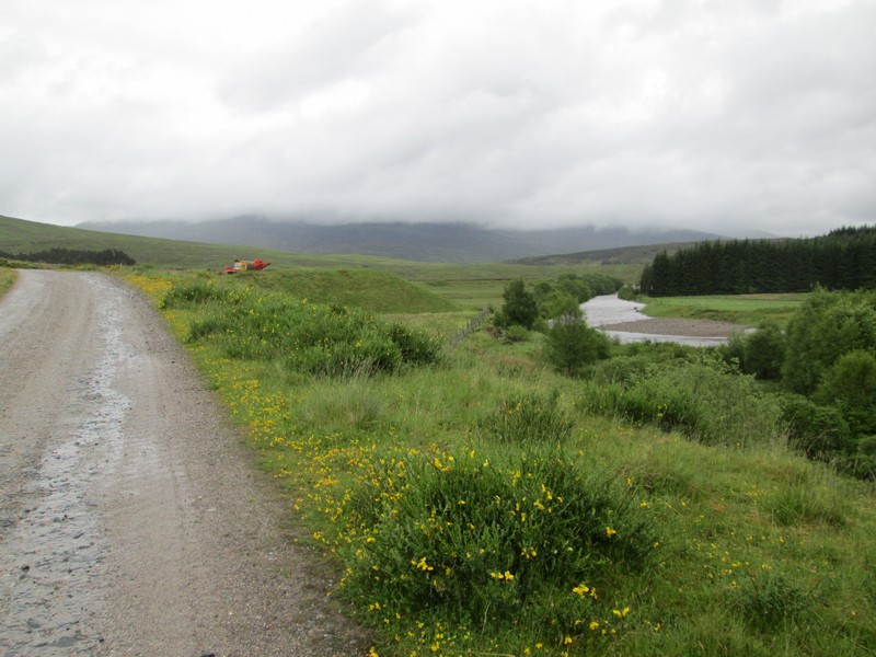
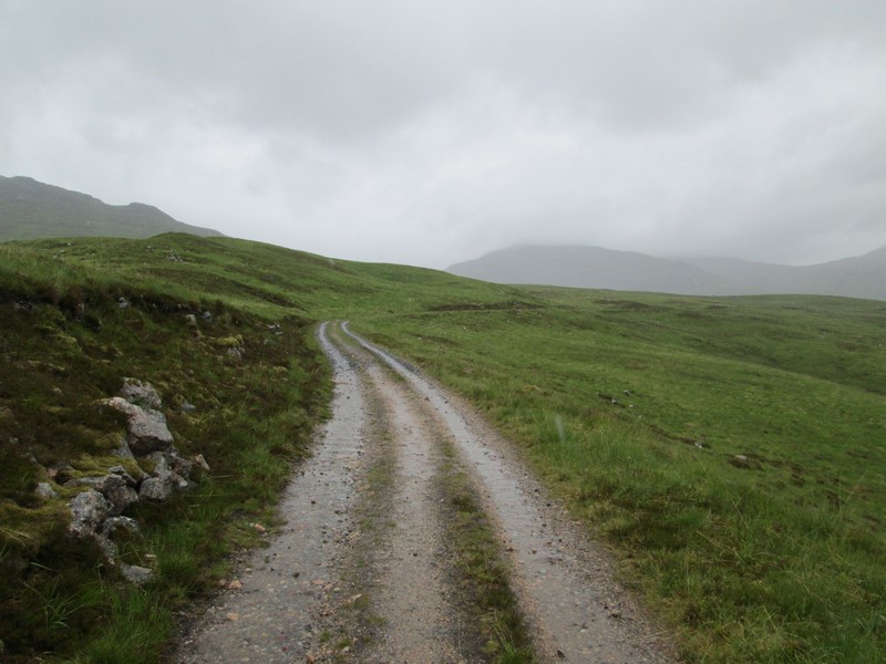
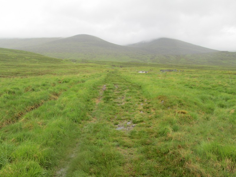
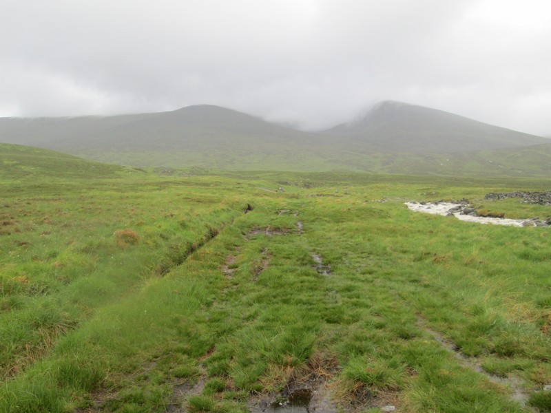
The broad track continues straight up by the Alt Coire Pitridh....
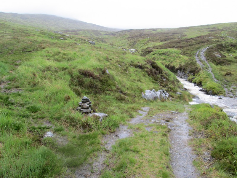
...and the ford is reached. I'll not be trying to cross that! However, there is a cairn and a promising looking track that leads off up the hillside towards Creag Pitridh.
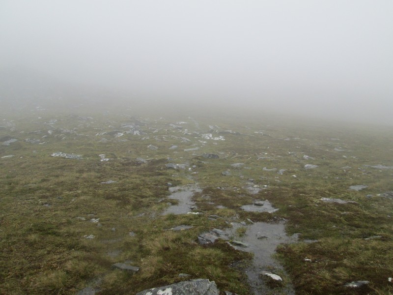
With the recent heavy rain following a dry spell the ground is extremely wet with the whole hillside awash with water moving downhill.
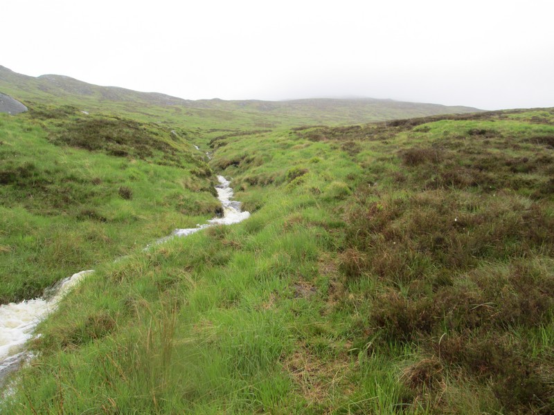
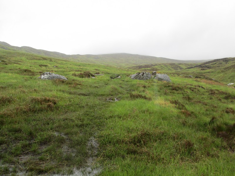
The track crosses a subsidiary stream and...
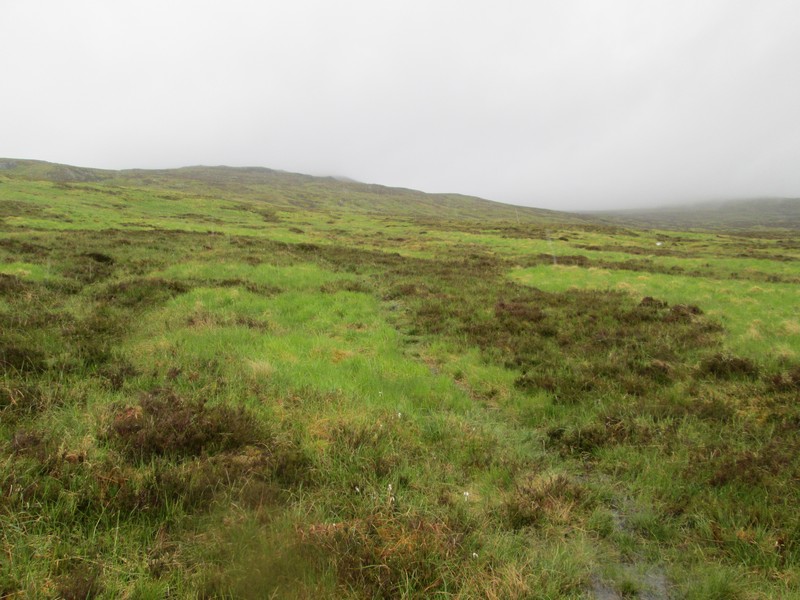
...remains quite clear. I set my GPS to take me towards NN480811 just in case the path disappears. The rain has largely stopped and the wind is not particularly strong so I now feel that I have a chance of reaching the summit.
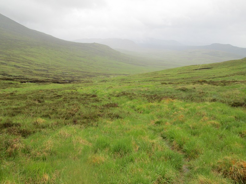
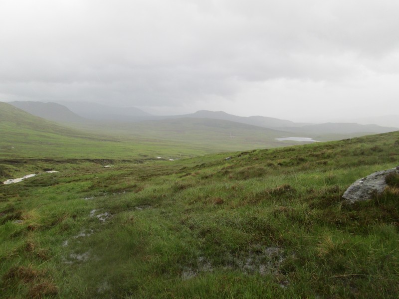
Looking back down into the glen.
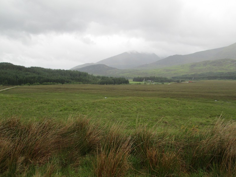
Looking back south the bulk of Beinn a' Chlachair is hidden under a blanket of cloud
The path eventually fades away but my next objective is to reach the western ridge of Creag Pitridh at about NN485 815.
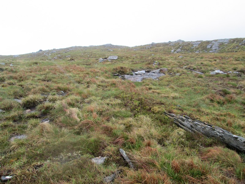
Once on the ridge there's a faint track....
...but soon I'm in the clouds..
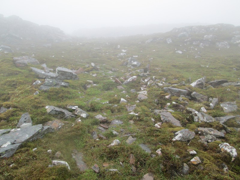
...and the terrain becomes stonier....

....as the summit is reached..
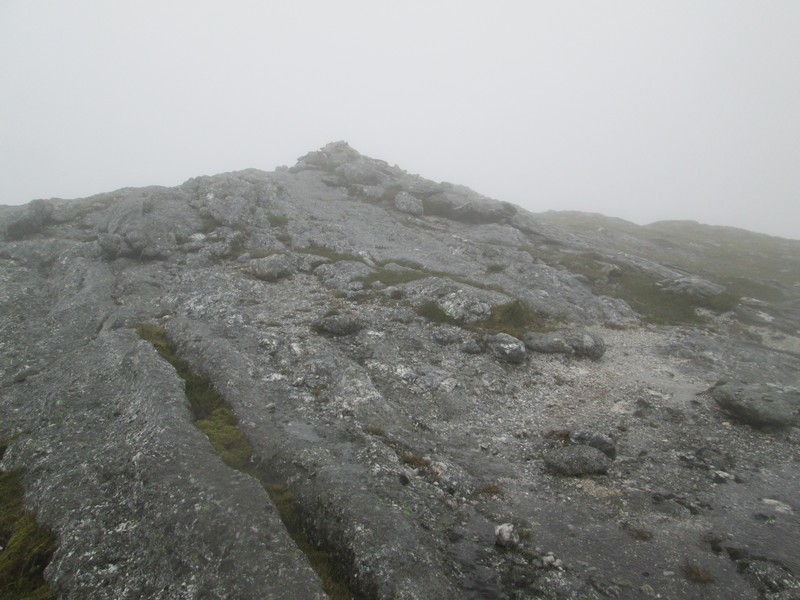
...with a small cairn on the top of a rocky outcrop.
Fortunately, the wind wasn't as bad as expected but I didn't linger at the cairn and dropped down into a nearby hollow for a late lunch break.
On the way back downhill Creag Pitridh's summit briefly appeared from under the cloud for a few seconds.
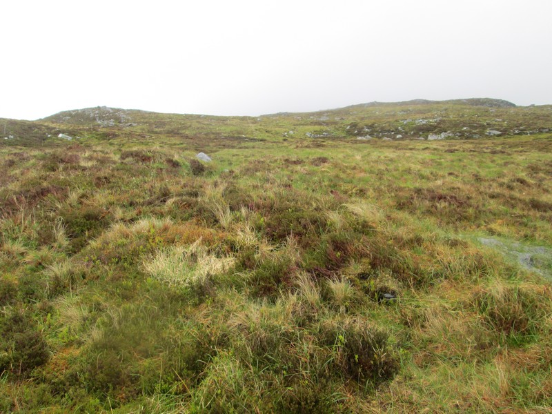
The return was basically a walk downhill over the grassy hillside. I didn't bother trying to find the path again. The photo shows the sodden hillside as I approach the main stalkers path at the ford.
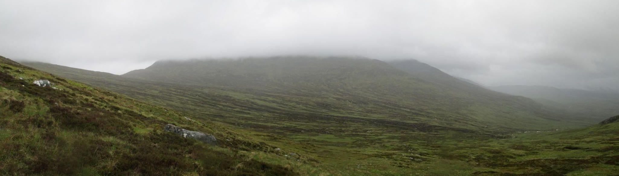
A look back at Beinn a'Chlachair with cloud filling its large corrie in the centre.
The walk from the start to the summit had taken just over three hours and the return slightly less.