Dun Da Ghaoithe
The map above shows my track taken from my Spot personal tracker. Click on the top right corner to see a larger map.
There is only one Corbett on Mull and it's a hill that is easily reached from the ferry terminal at Craignure. I climbed the hill on a pleasantly warm day in September 2023.
To maximise my time on the island I took the 07:25 sailing from Oban aboard the 'Isle of Mull'.
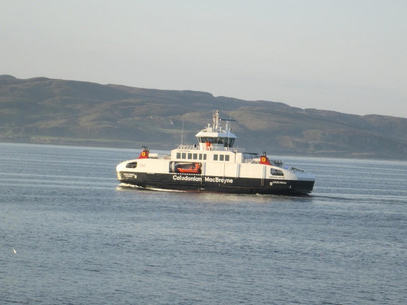
The second ship on the route in summer 2023 was the much smaller and slightly slower Loch Frisa, which is seen passing on a Craignure to Oban sailing. I decided I was going to avoid travelling on this rather spartan ex Norwegian ferry if I could on the return crossing.
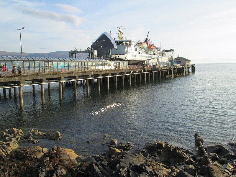
The 'Isle of Mull' is seen at Craignure pier. To my delight there was a bus ready to depart for Fionnphort at 08:30, and the driver confirmed he could stop at the end of the drive to Torrosay Castle. I had planned to walk through the woods to get to the normal start of the hill walk at Achnacroish, but taking the bus saved about half an hour's walk.
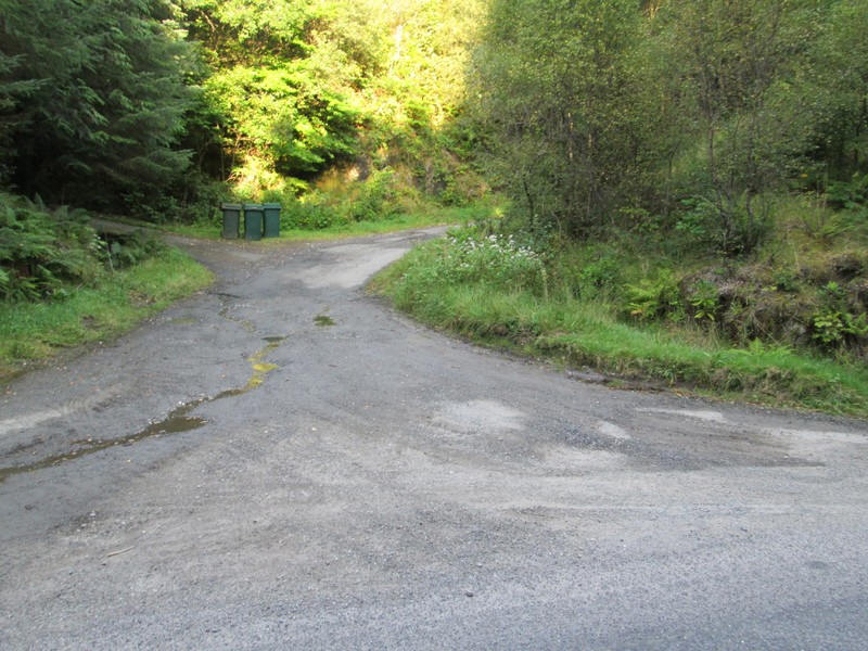
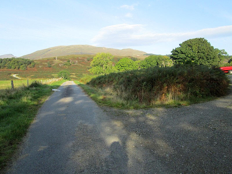
The walk starts at this junction on the single track A849....
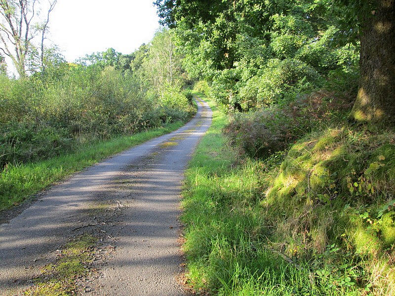
.....and starts to climb through woods...
...before reaching the open hillside at Upper Achnacroish.
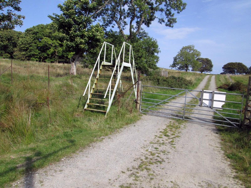
There is a high metal stile which is exceptionally wobbly, with each step up and down causing the structure to shake violently!
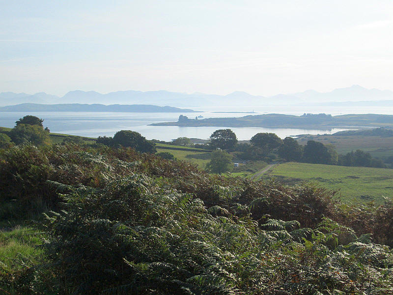
In the centre of the photo is the ruined Duart Castle at the end of the promontory.
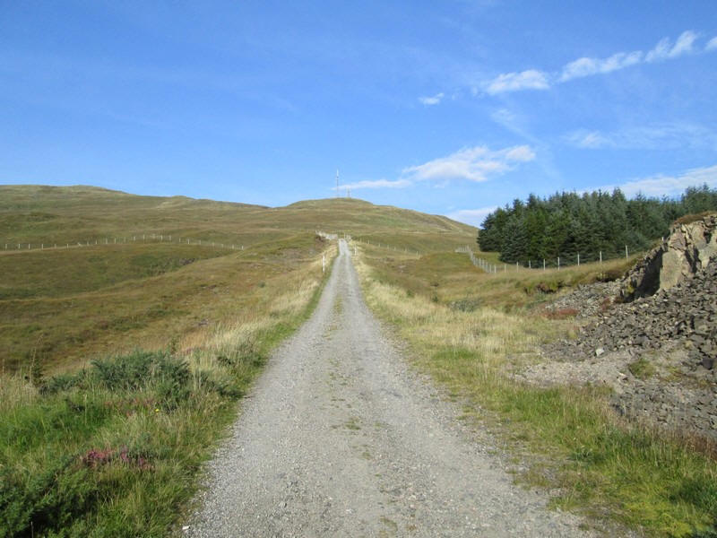
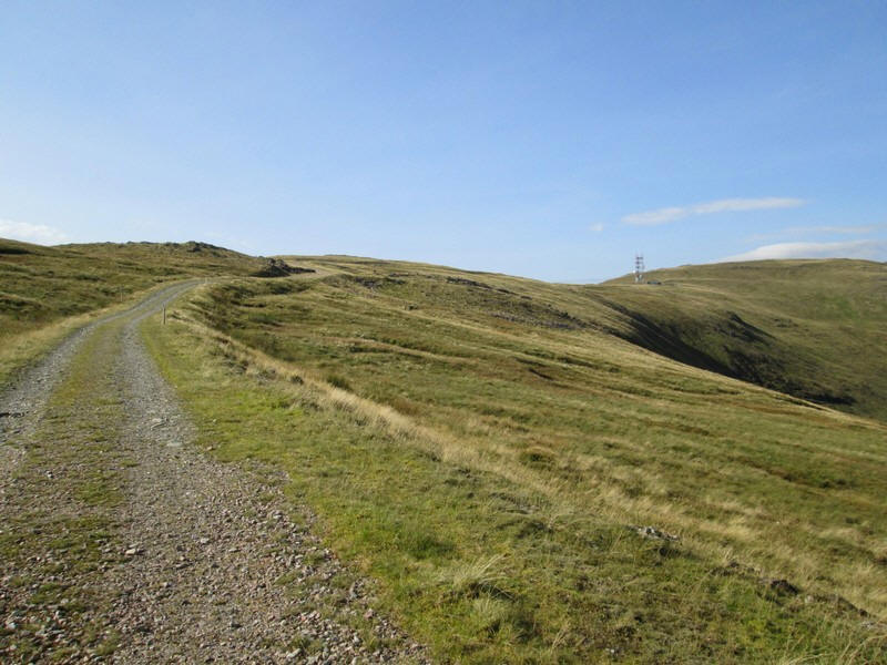
The vehicle track leads to two communication masts and, whilst perhaps a bit boring, it is easy to walk on and allows quick progress.
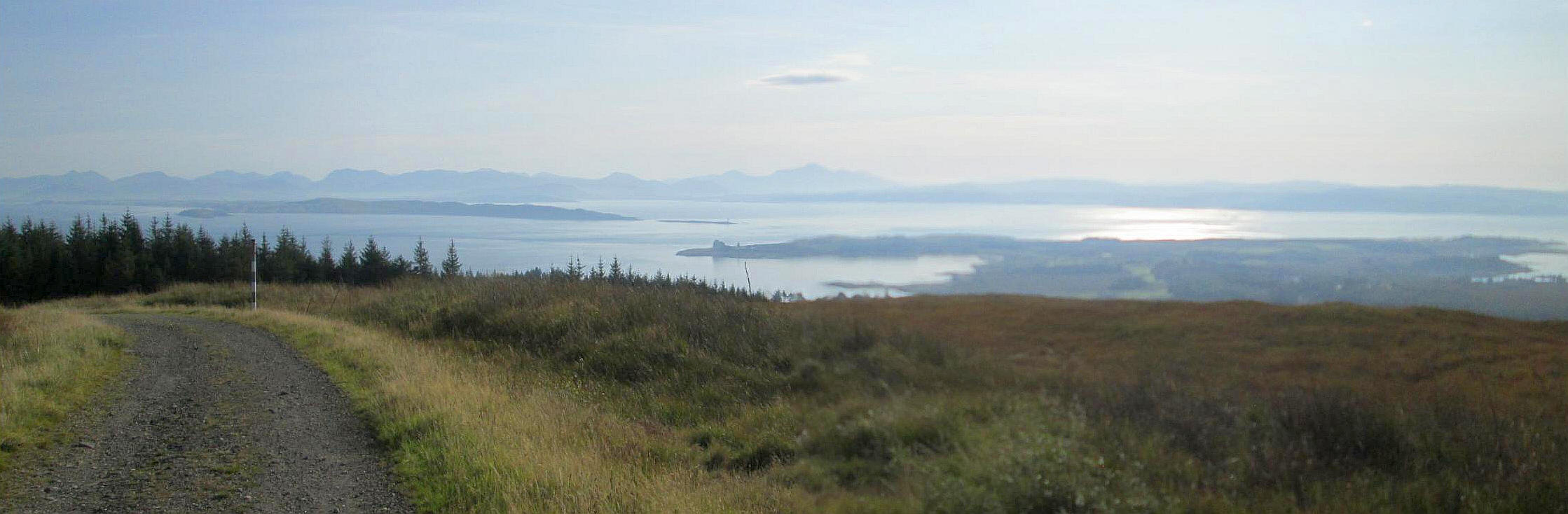
The views back across the Firth of Lorn, even on a hazy day, are superb. Click on the image to see the full sized view.
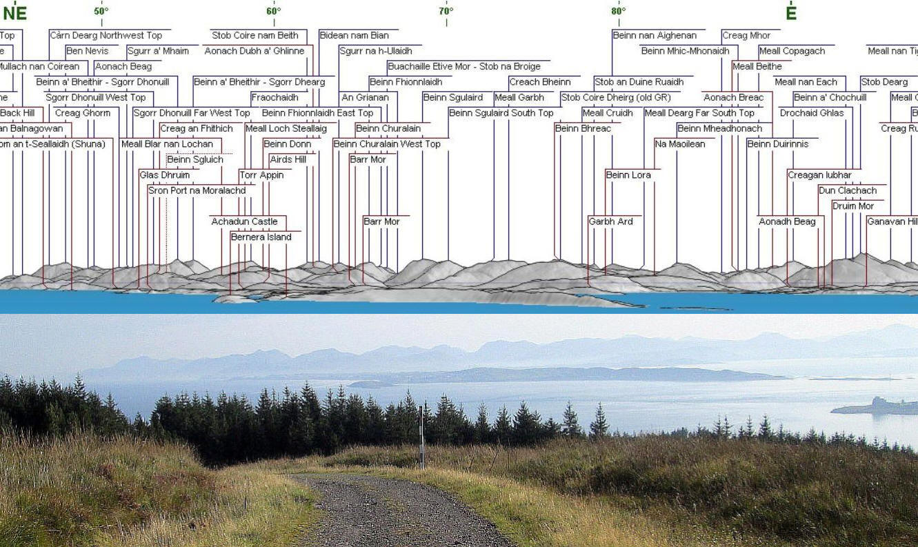
Above is a panorama diagram and photo which allows identifcation of the hills. (Click on the image to make it full size.)
The island of Lismore is in the centre whilst across on the mainland over to the far left of the photo is Ben Nevis, 58km away. Numerous other Munros can be seen and comparing the diagram and the photo allows individual peaks to be picked out.
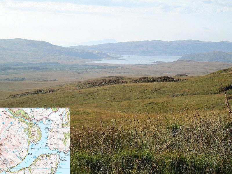
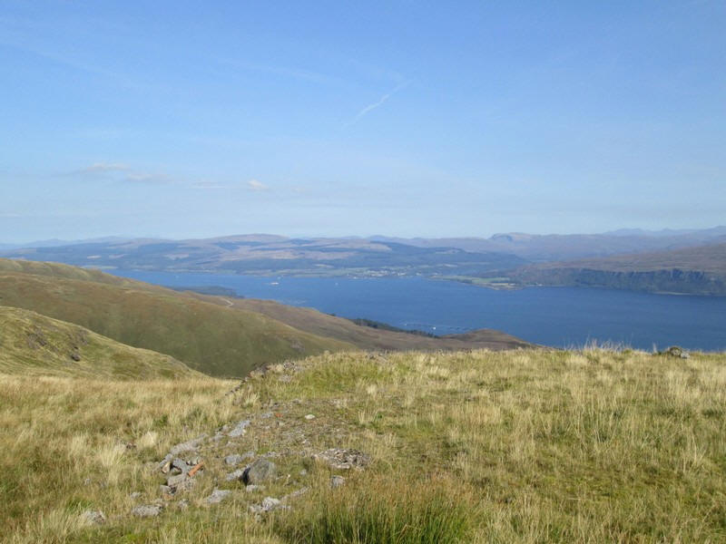
Over to the south is the almost completely landlocked, but tidal, Loch Spelve.
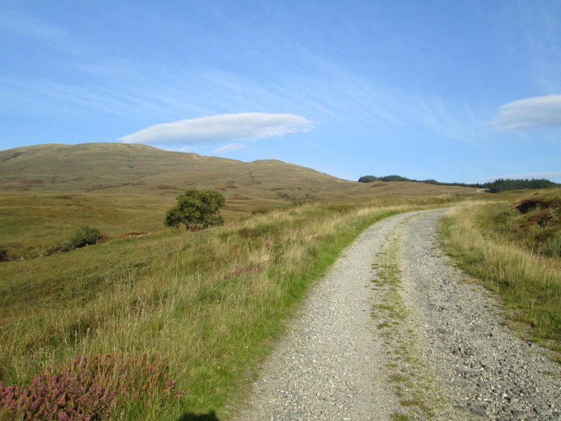
The vehicle track continues uphill.....
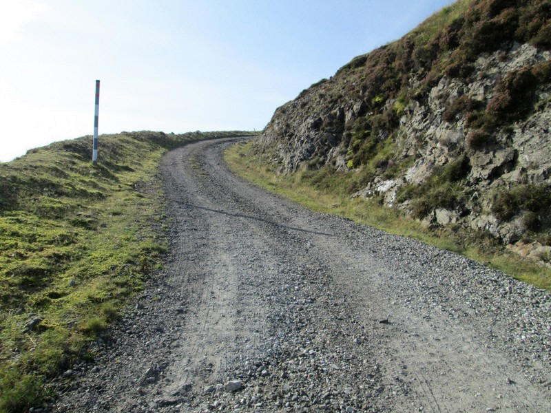
....and then zig zags to gain height round a rocky area......
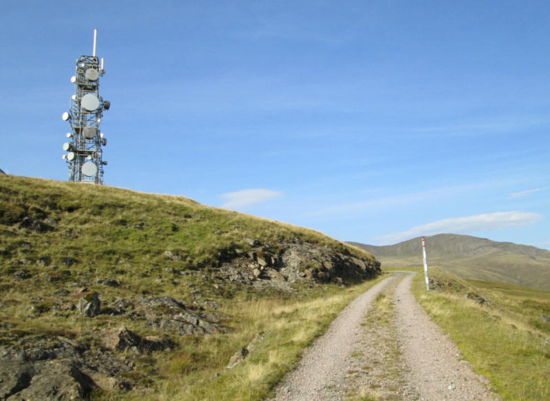
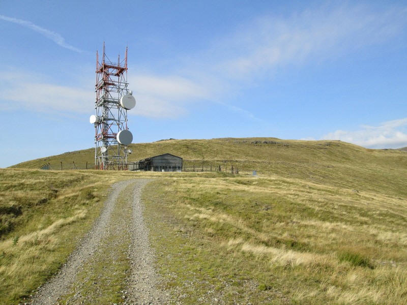
....to reach the first of the communication towers.
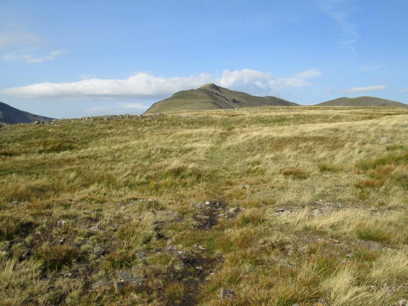
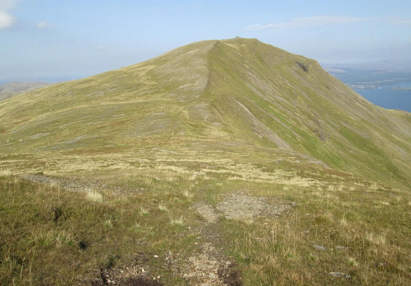
The road then splits and we get the first view of the hill's two summits. On the left is Mainnir nam Fiadh (757m) and on the right the Corbett summit of Dun Da Ghaoithe (766m)
The road continues uphill more gently towards the second tower.
This looks as though it would be quite an exposed location in windy weather.
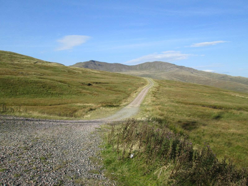
The second tower is the end of the road; several guides I'd read suggested that beyond this point there was no path.
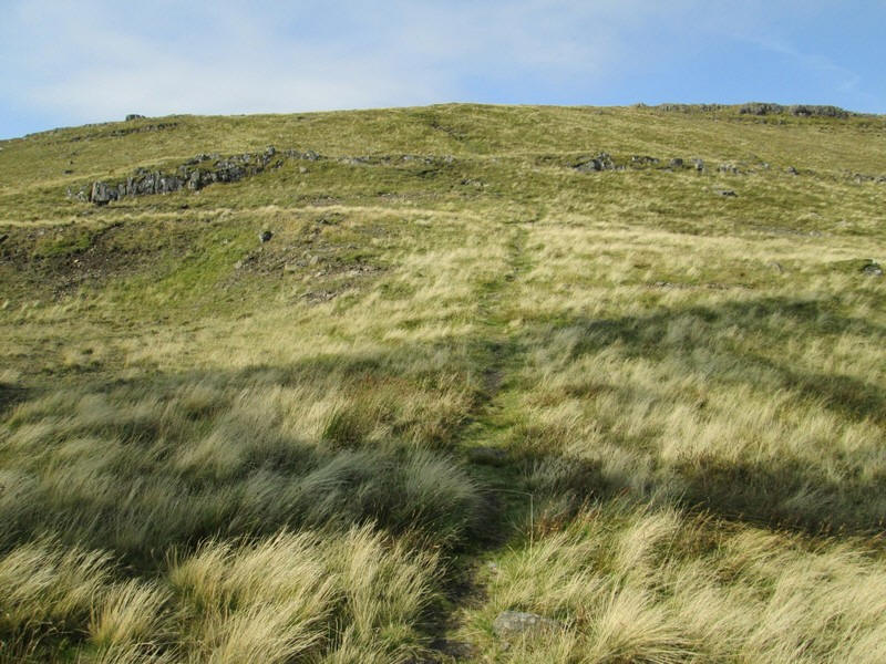
However, there is a clear track almost the entire way to the summit.
The views into the Sound of Mull now open up, with the low hills of Morven on the mainland beyond.
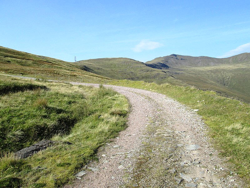
The track is a delight to walk along......
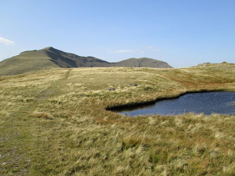
....and passes a few small lochans.
Over to the south I've zoomed in on Creach Beinn (698m). It was about here that I spotted a golden eagle swooping above the glen.
The track sometimes enters stony sections and becomes less defined.
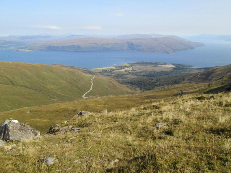
Looking downhill towards Craignure.
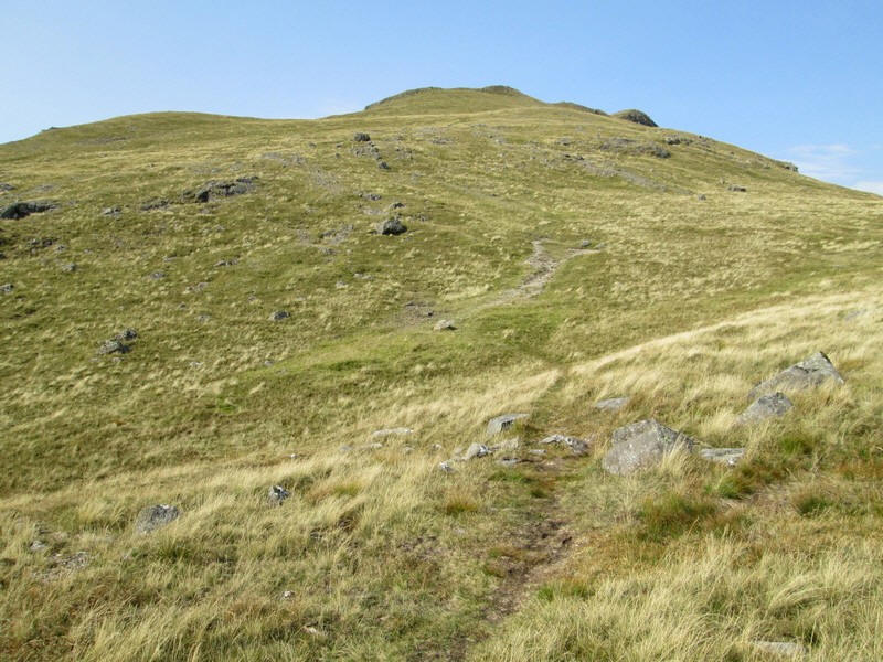
The track now starts to climb more steeply....
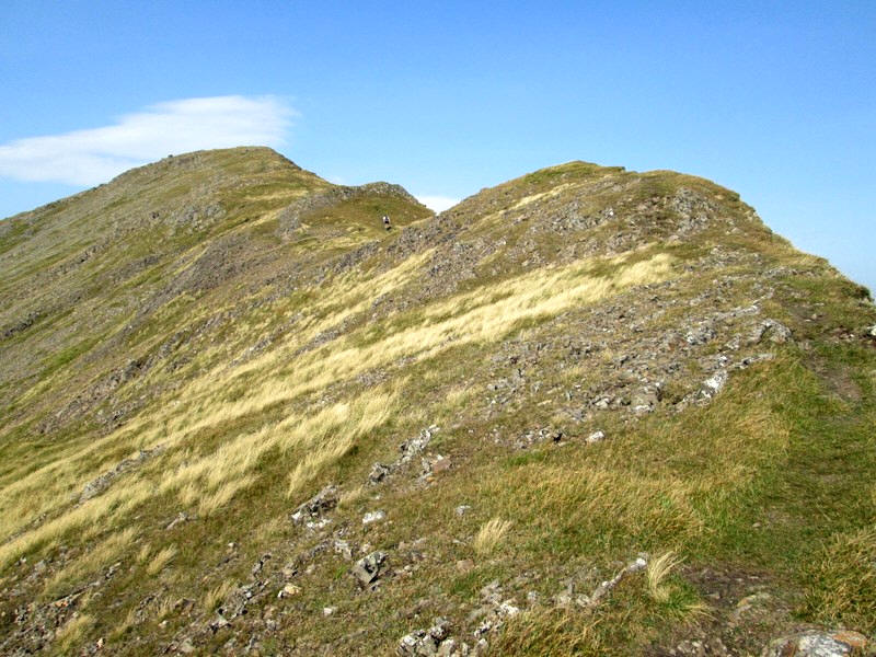
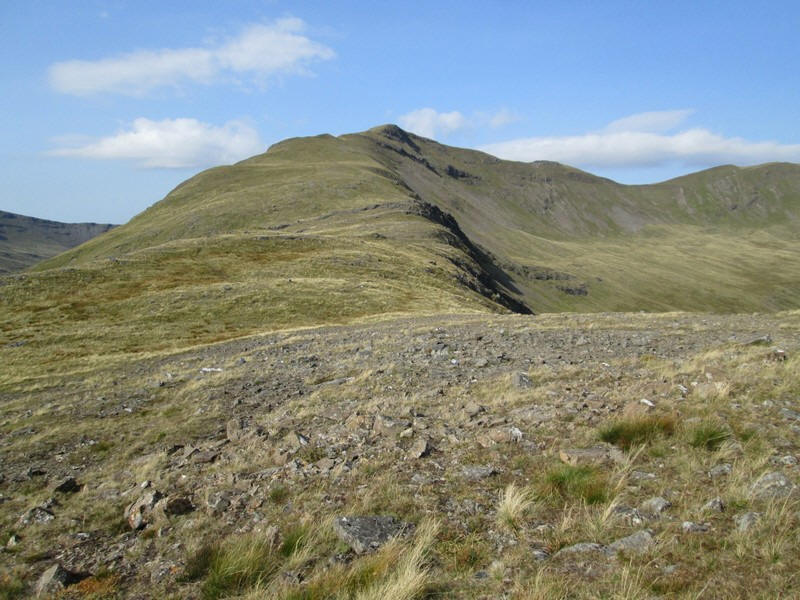
......onto the narrowing ridge of Mainnir nam Fiadh....
....with a steep drop into Coire Mor
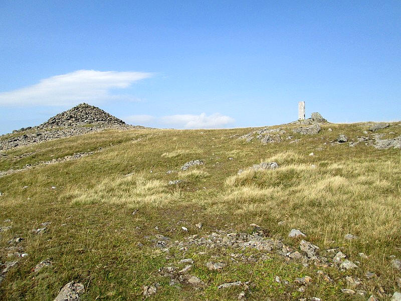
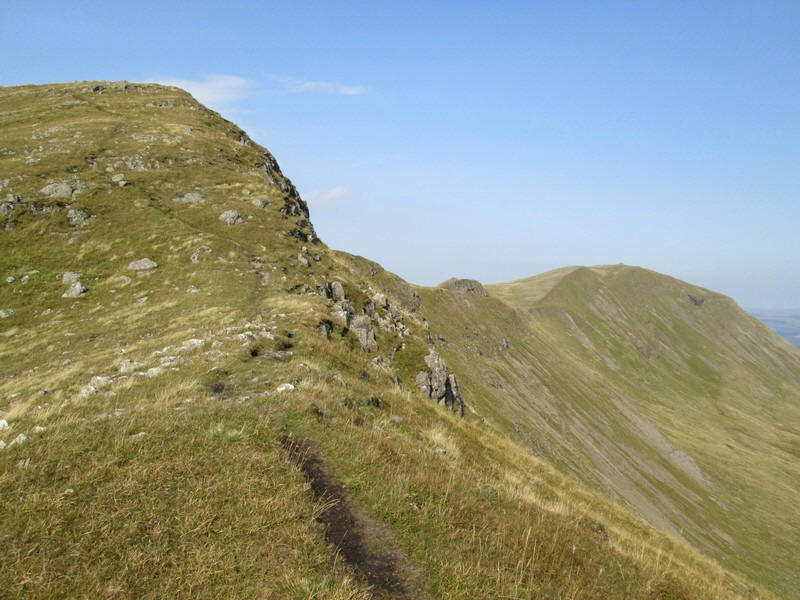
The first summit is marked by a concrete cylindrical trig point and an enormous cairn. There is still a kilometre to go to the real summit.
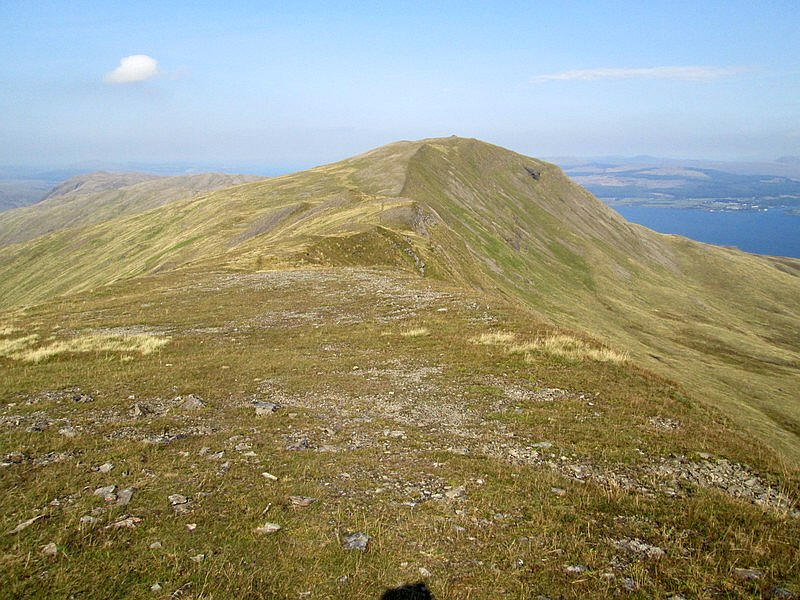
This delightful ridge walk stretches ahead.
There's a bit of a drop to a coll between the two summits....
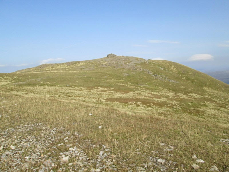
....before the summit cairn comes into view. The climb from the road had taken exactly three and a half hours just about half an hour longer than I expected. The summit is 2,513 feet above sea level and of course has been climbed from
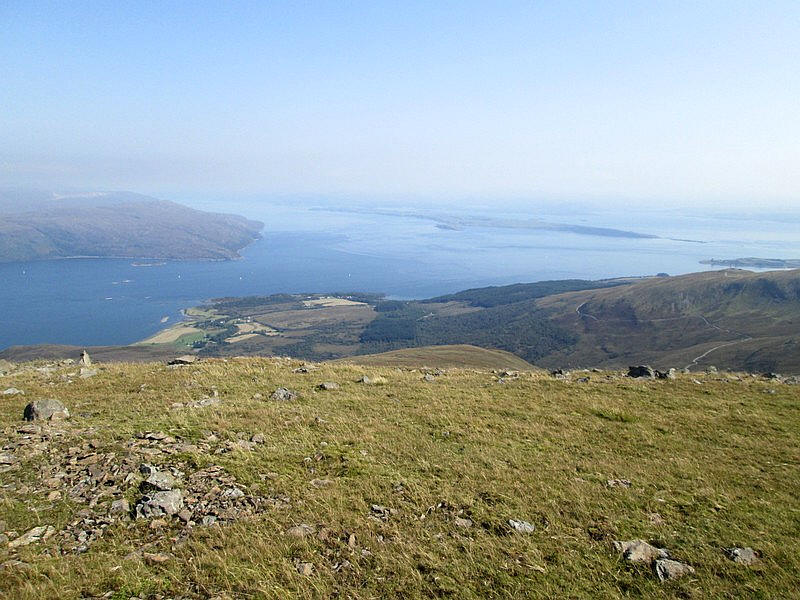
Looking down to the beginning of the Sound of Mull near Craignure. The isle of Lismore is in the centre.
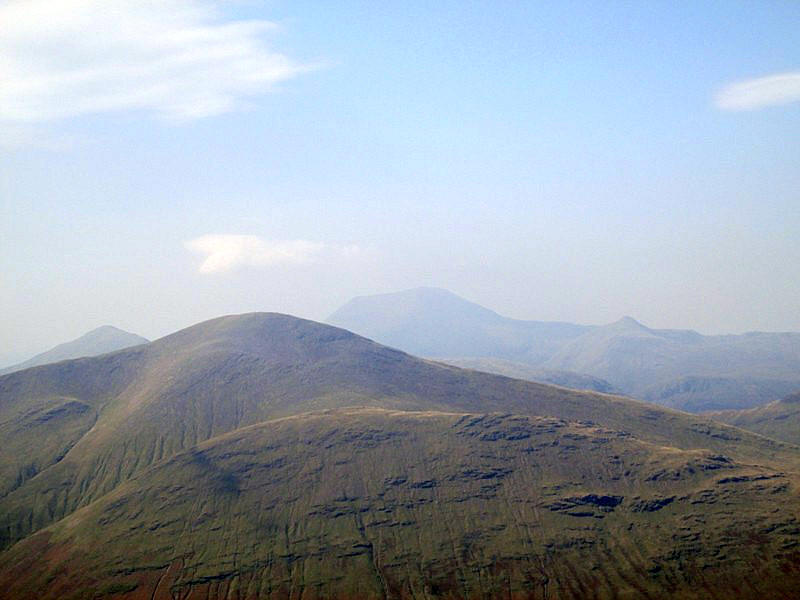
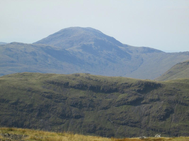
Unfortunately there was a fairly heavy heat haze which meant I couldn't see as far as I'd hoped. However the only Munro on Mull, Ben More (3,255 feet), can be seen in the centre distance with Beinn Talaidh in the foreground.
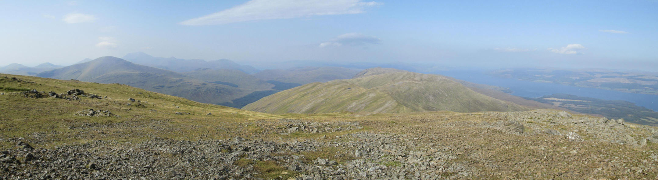
A panorama image looking west with Ben More to the left and the Sound of Mull on the right. Click on the image to see it larger.
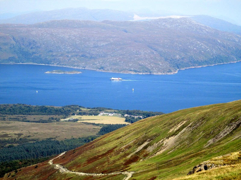
I'd seen several Calmac ferries passing through the Sound; the 'Clansman' was en route for Coll and Tiree whilst this view shows the 'Isle of Lewis' outward bound form Oban to Barra.
On my return to the ferry I headed back to main road at Torrosay, and then walked along the estate road back to Craignure through the woods. My peaceful day ended on a very crowded voyage back to Oban on the "Isle of Mull" at 17:05. I arrived back in Oban in a tremendous thunderstorm, which completely drenched me in the five minute walk to my hotel. Good luck that the storm hadn't arrived when I was on the hill.