The East Dalwhinnie Munros
A'Bhuidheanach Bheag, Carn na Caim and Meall Chauaich
The way points on this map are taken from my GPS Spot tracker. You can make the map bigger or alter its appearance by clicking on the controls.
I'd already climbed the 4 Munros on the western side of the Drummochter Pass and decided that the three on the eastern side of the valley were candidates for climbing together in one very long day from Dalwhinnie station. Perhaps the very wet weather experienced in July 2012 wasn't perhaps the best time to do this but cheap tickets and a very cheap room at the Salutation Hotel in Perth encouraged me to try to clear this 3 hills.
My train arrived at Dalwhinnie at 09:10 giving me plenty of time to catch either the 19:59 or 21:31 back to Perth. Given that the Inn at Dalwhinnie has now closed I brought with me plenty of food which I planned to eat in the waiting room at the station on my return.
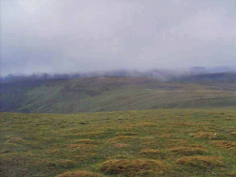
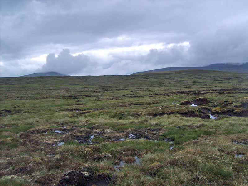
The day started with showers and intermittent low cloud but, as the day progressed, the rain ceased and visibility improved with even some sunshine towards the end of the afternoon. Despite the extremely wet weather of recent weeks conditions underfoot, even over the extensive peat bogs were nowhere near as bad as expected and I ended the day with completely dry feet and boots with virtually no mud on them at all.
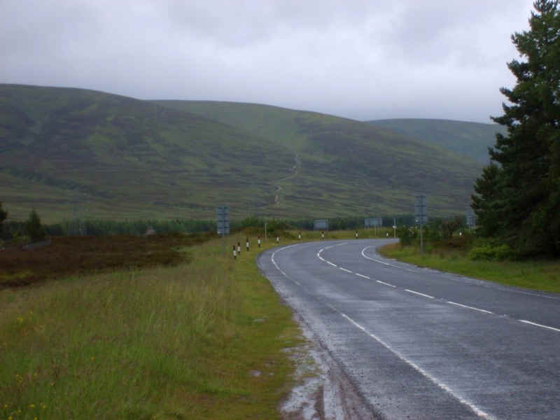
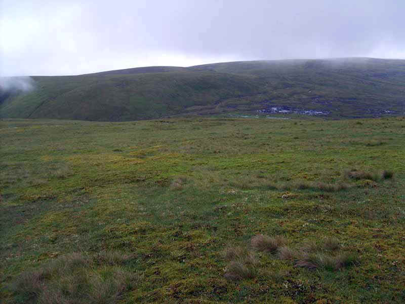
The walk starts along the A889 south from Dalwhinnie towards Wades Bridge.
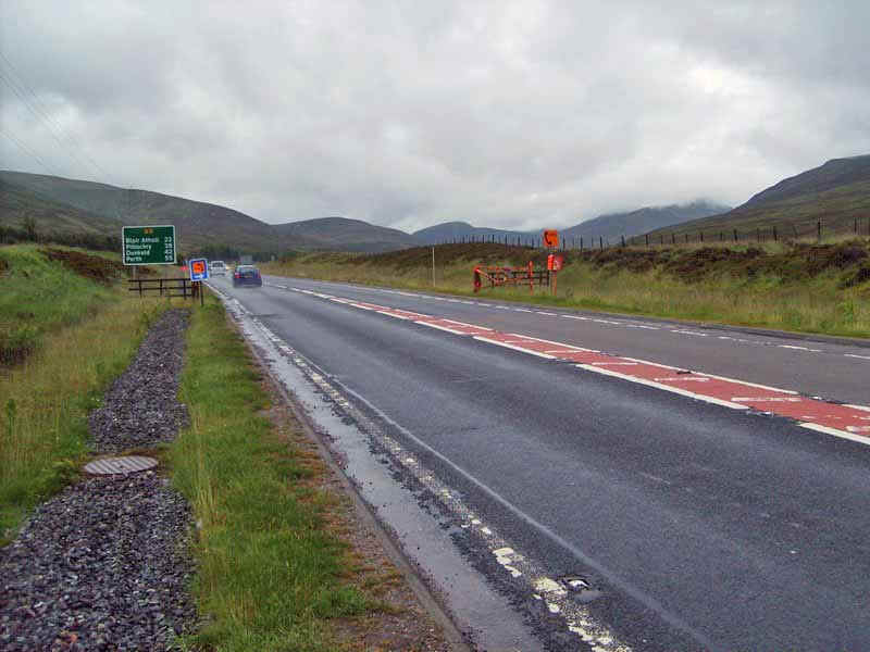
Then there's a short section along the A9 until just beyond the snow gates. In July 2012 the work for the Beauly to Denny power line was underway and at the end of the track leading up on to the hills (NN639821) there was a locked vehicle gate with notices say "Track Closed". The pedestrian gate was unlocked and I decided to ignore the notice as I wasn't sure whether it related to walkers or vehicles. I suspect that as construction continues access might be a problem here, especially when the pylons are being constructed and even more so when the cables are going up.
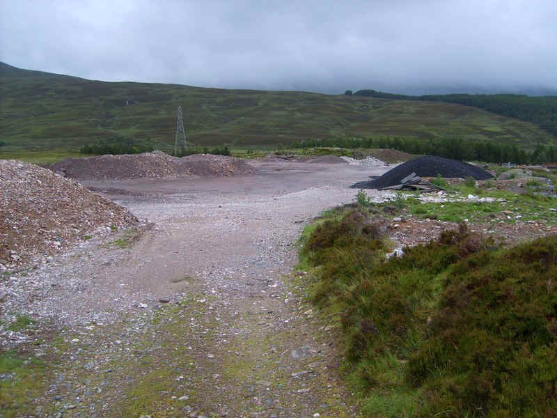
This shows the construction site area.
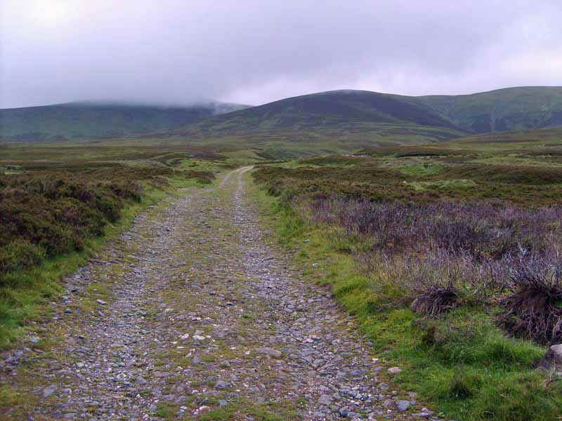
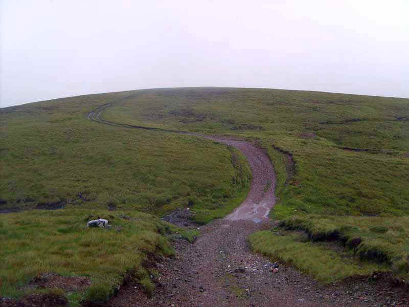
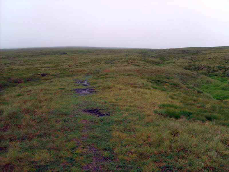
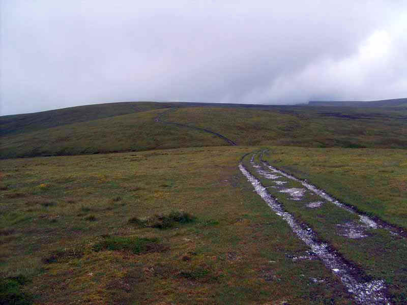
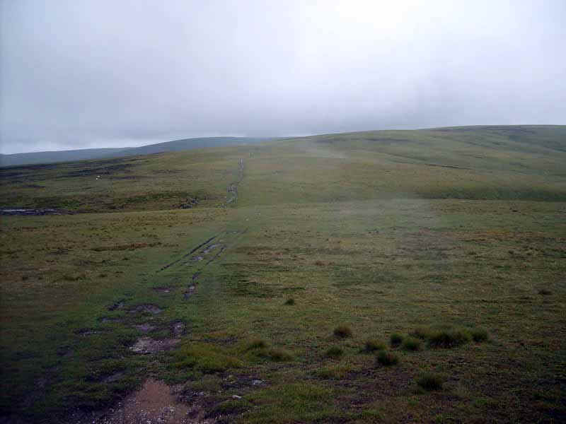
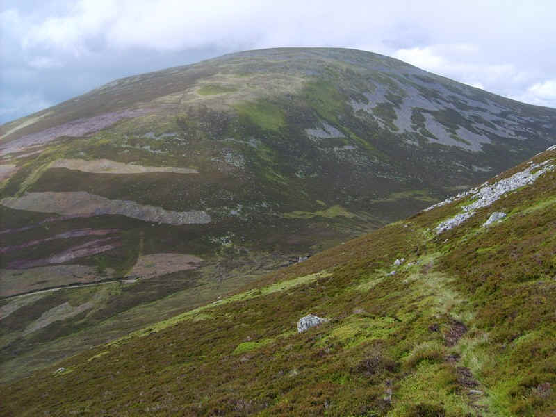
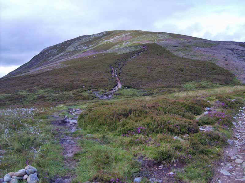
The way to the hills is on the track leading across the moor...
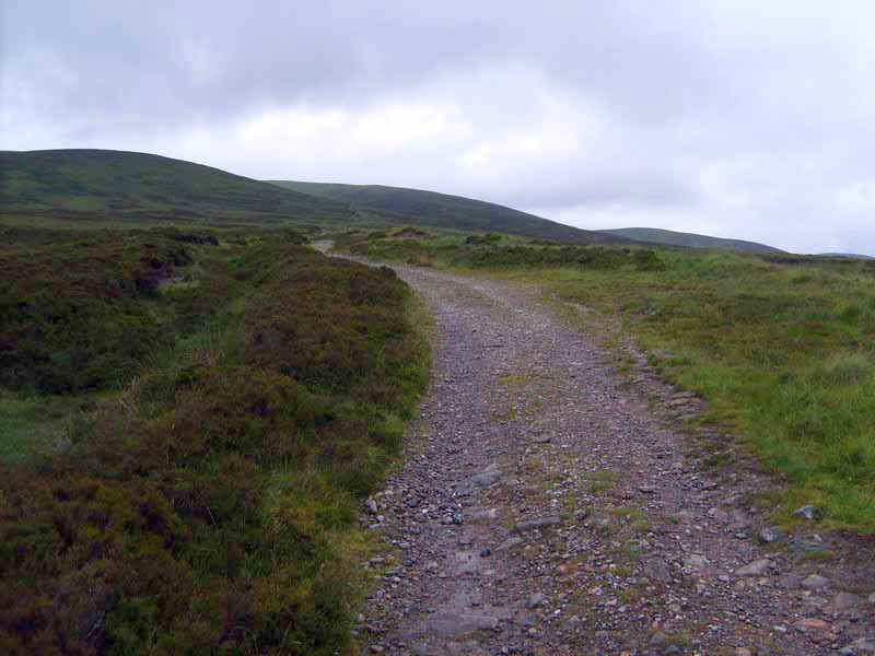
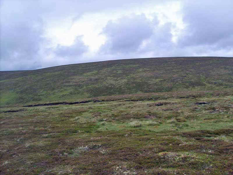
and what an easy way it is to gain nearly 500 metres in height.
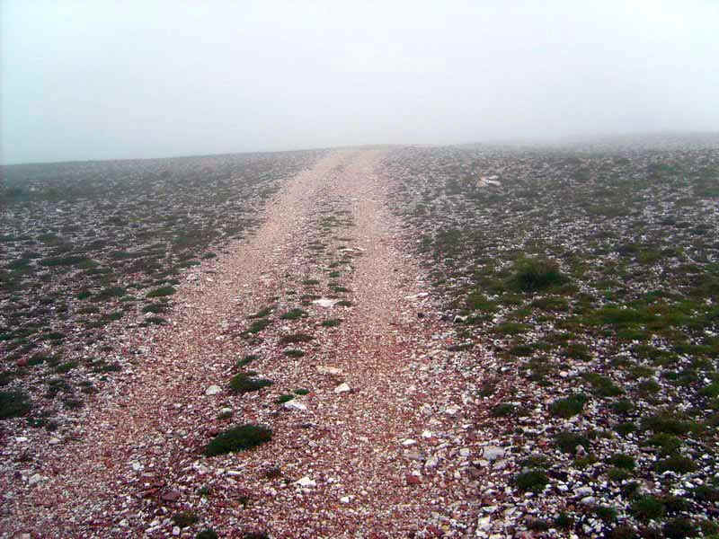
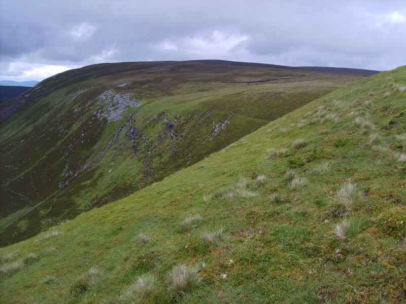
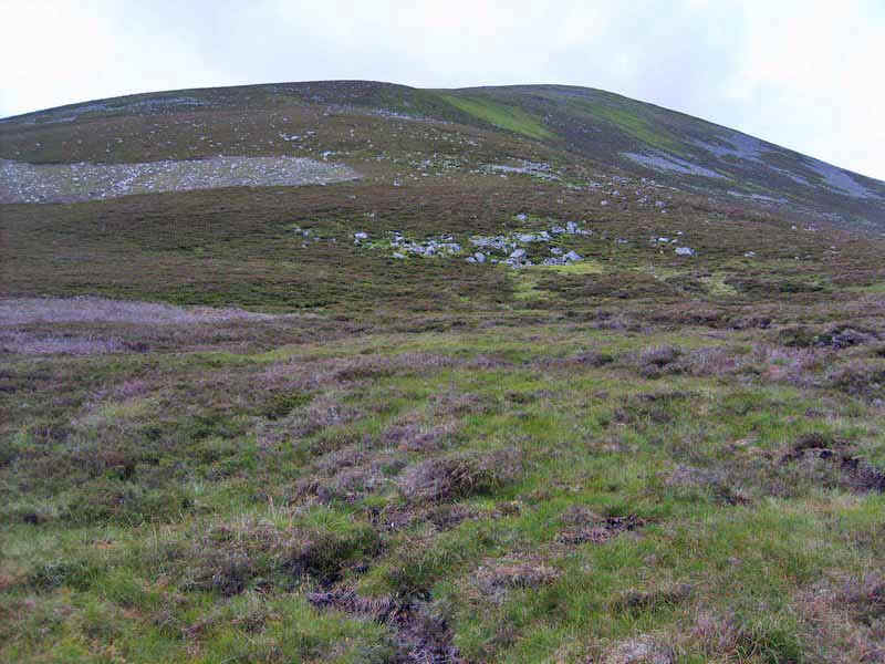
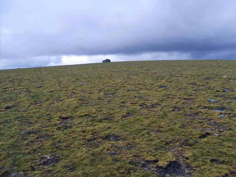
Close to the area shown on the maps as a quarry the ground is littered with quarzite ..
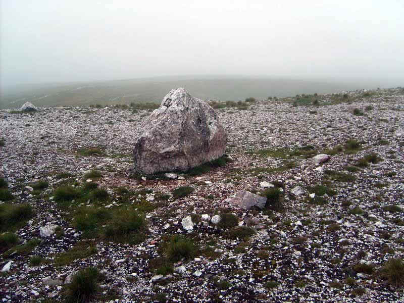
.....and this block is certainly a landmark just off the track to the north.
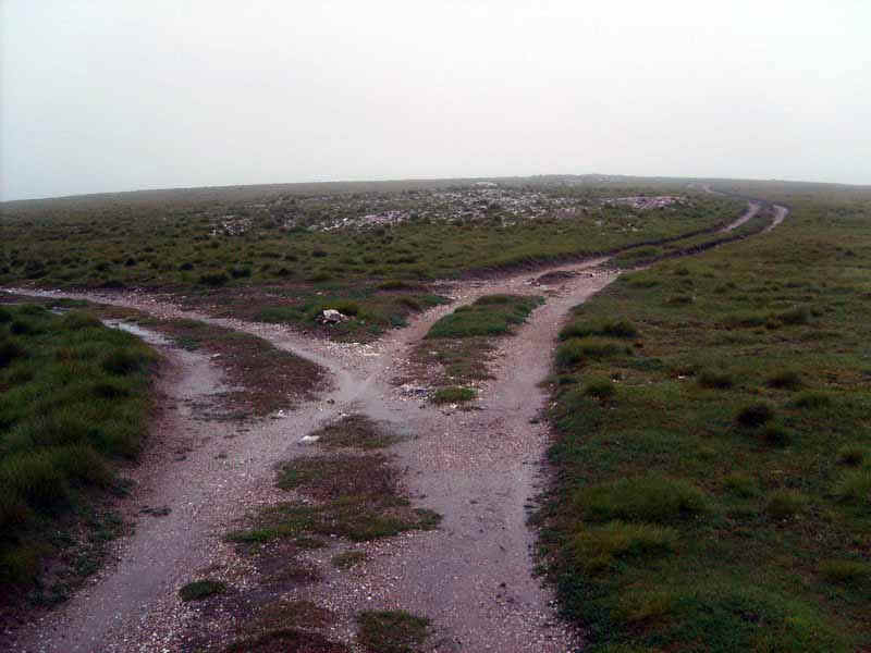
The vehicle track splits with the way to A'Bhuidheanach Bheag straight on and that to Carn na Caim going off to the left. I'd be returning to this point after visiting A'Bhuidheanach Bheag.
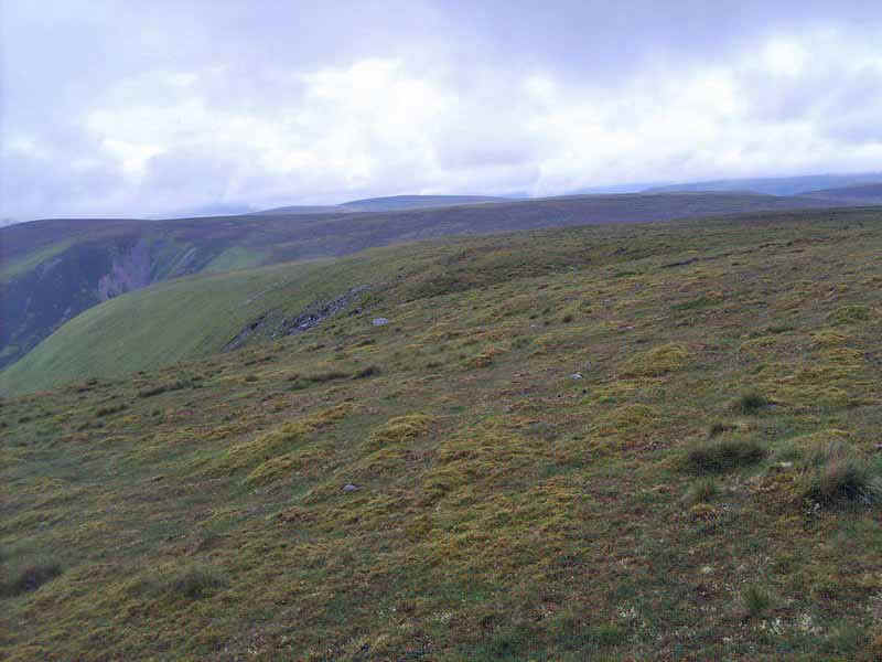
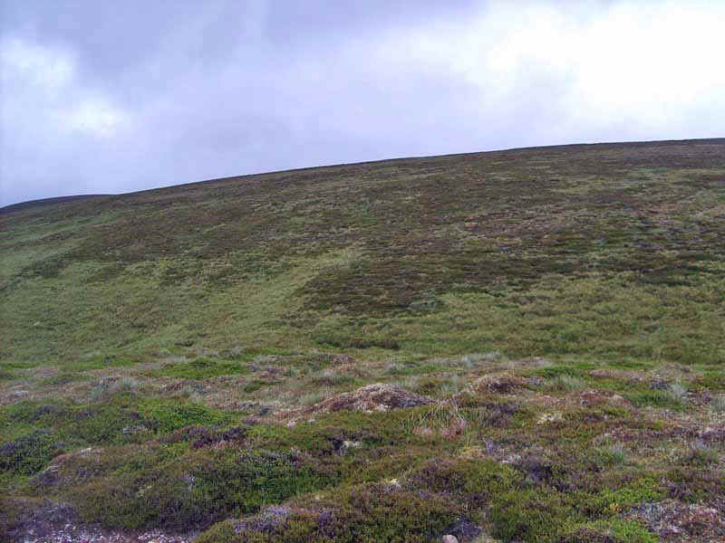
The track continues across the more land towards A'Bhuidheanach (not the same hill as A'Bhuidheanach Bheag!)
At about NN658793 this curious standing stone and cairn mark the spot where the track towards A'Bhuidheanach Bheag turns at right angles to the south east. I missed this turning as the main track continues straight on.
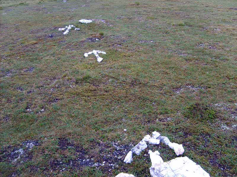
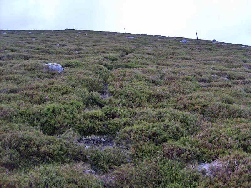
I even managed to miss these helpful markers laid on the ground to the left of the track, which I photographed later. The result was that I wasted about ten minutes finding my way back to the correct point at around NN659790...
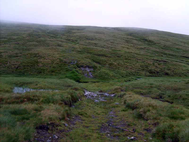
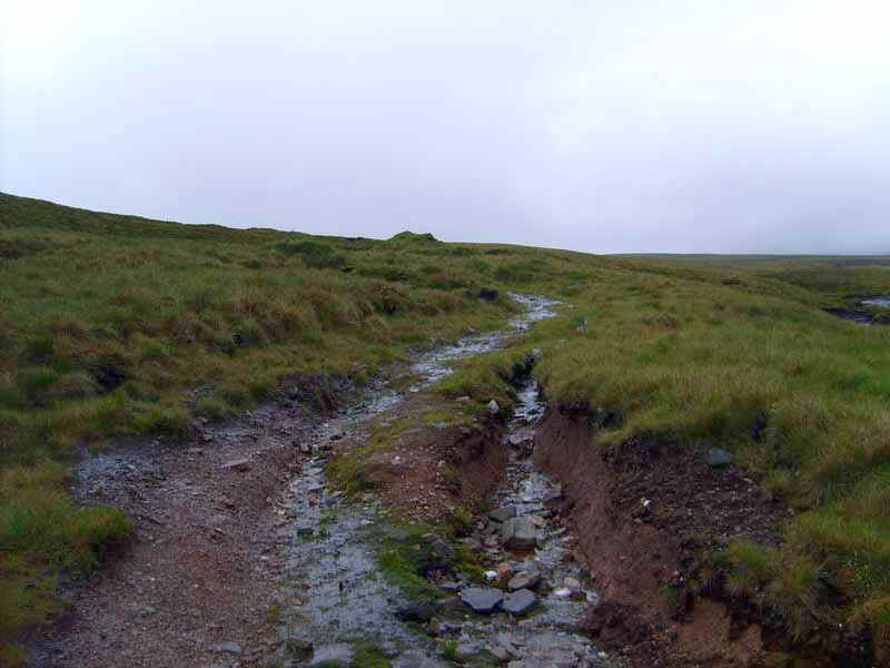
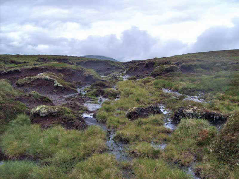
.....where the broad track comes down to near a stream at the bealach at the head of Coire Chuirn. The problem is that not all the tracks are marked, even on the 1:25000 OS map and I'd not noticed the junction.
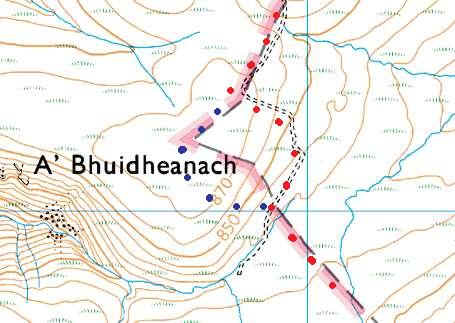
The blue dots show the wrong route I took
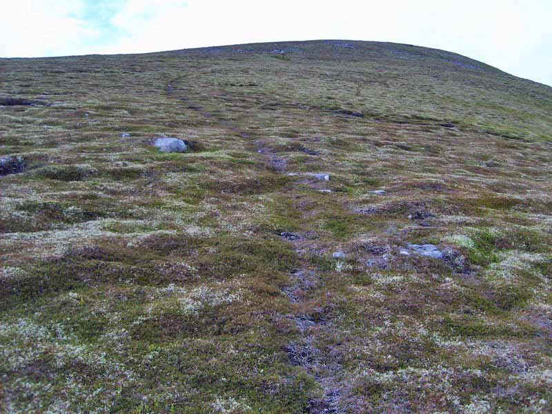
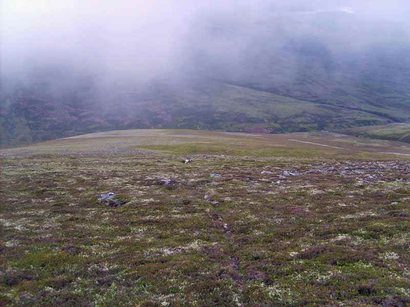
Once across the stream a faint path led uphill towards A'Bhuidheanach Mhor. When it faded I used my GPS tracker to walk directly towards the summit of A'Bhuidheanach Bheag.
The track reappeared near the old boundary fence..
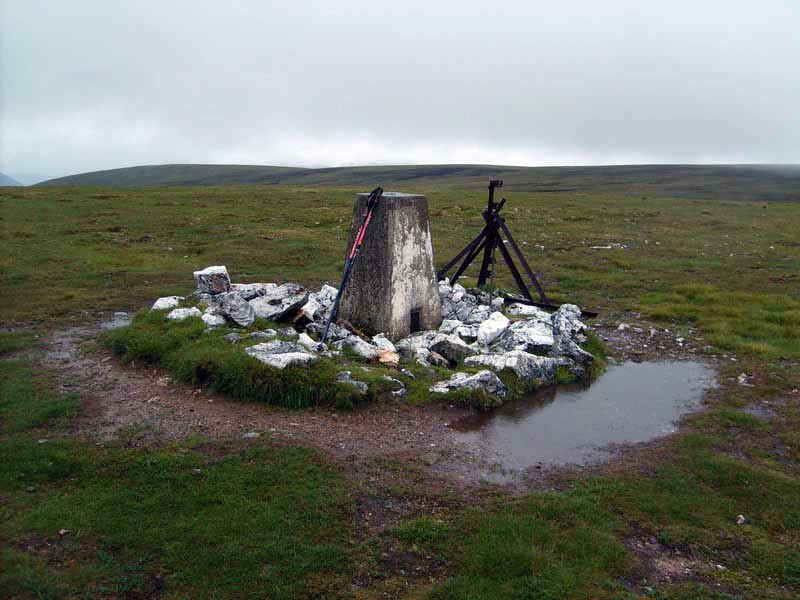
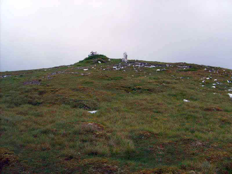
....and it was then a short walk to the trig point, which sits on the grassy summit.
Walking back towards the vehicle track I simply walked in a straight line back downhill. On the way I met another walker who as we talked admitted that he was on his fifth round of the Munros and was off climbing in India shortly. My tally of 119 (after A'Bhuidheanach Bheag) felt very puny!! More about this gentleman later....
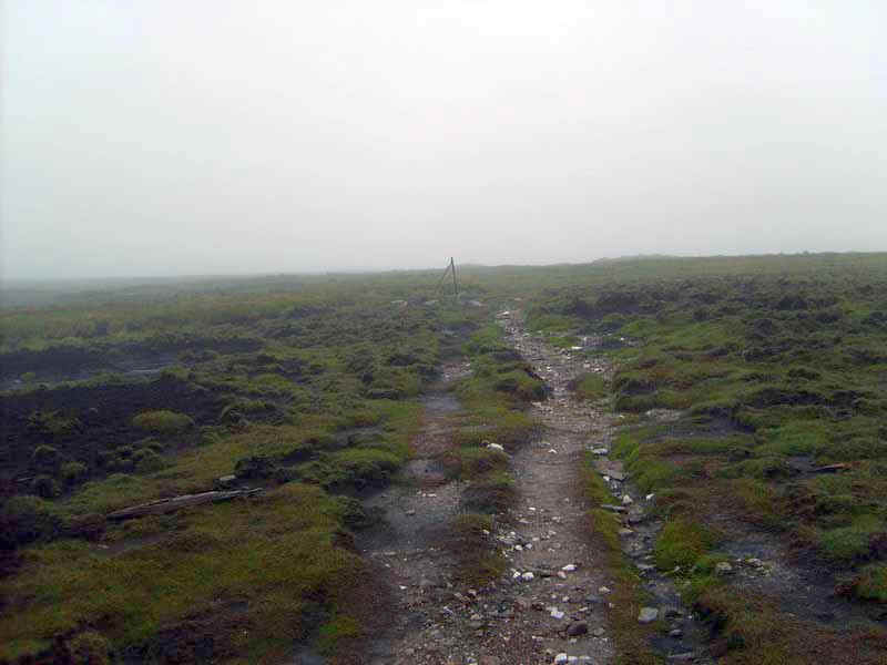
Once back over the boggy area near the stream it was back on the track, past the missed marker stones...
.....and on back past the 902m spot height to reach..
....the junction for Carn na Caim.
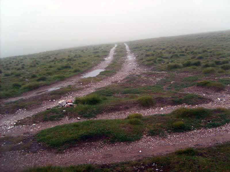
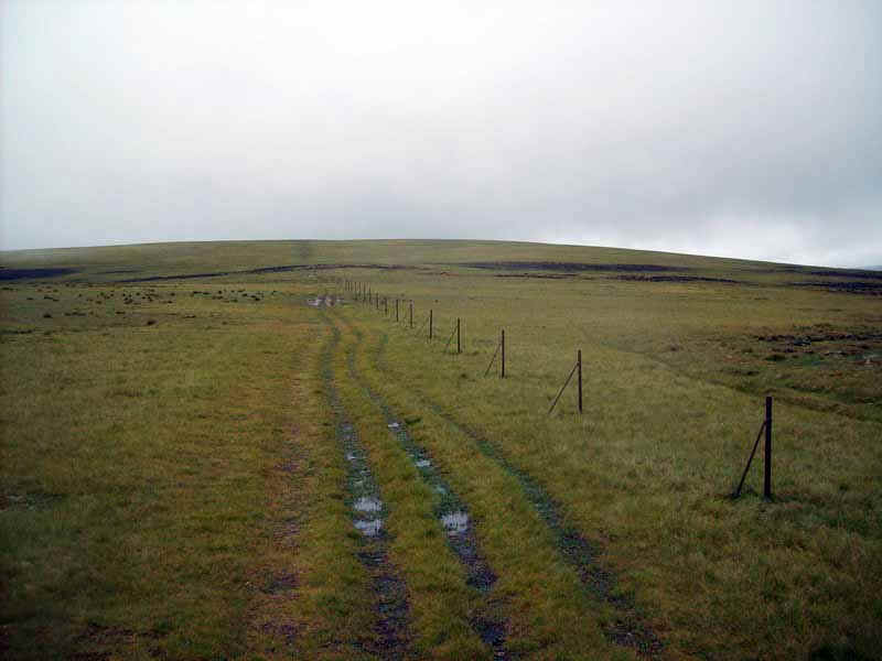
The track leads towards the north across the moorland.
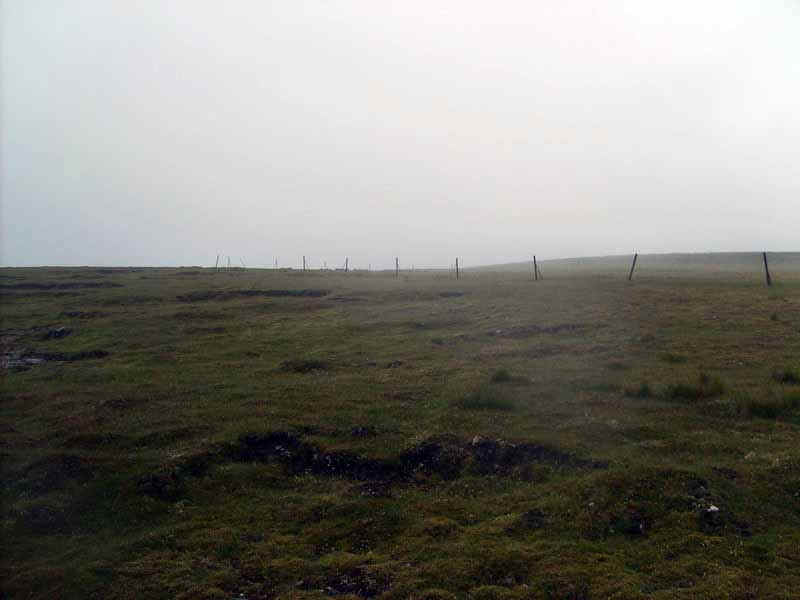
.....until at about NN669816 the boundary fence posts make a sharp turn towards the north east.
The posts are followed for about a kilometre until the path turns to head direct to...
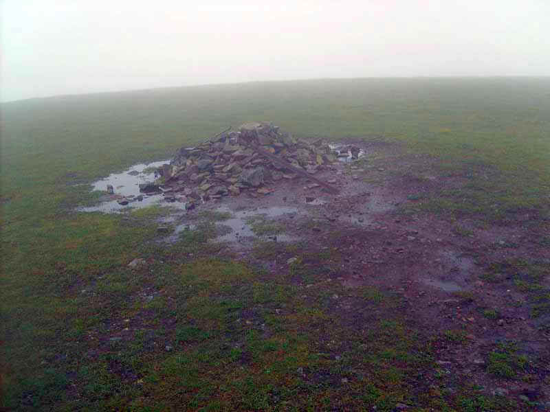
......the rather insignificant cairn at the 941m summit of Carn na Caim. The walk up to this point had taken about three hours from leaving the A9 and about three and three quarter hours from Dalwhinnie.
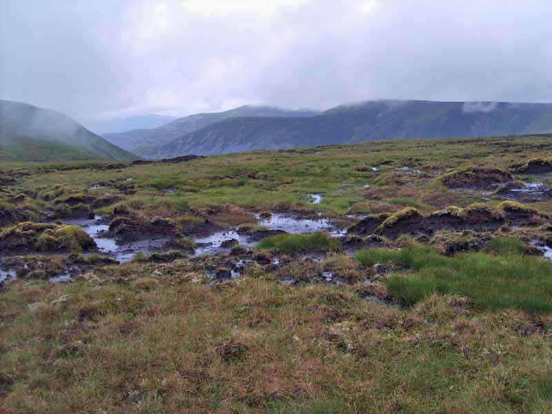
My plan was to walk the next part of the route across the pathless hills towards Meall Chuaich, which is roughly 4 miles across peaty moorland and bog. I was expecting to get very wet and dirty!
As I was taking a bearing to check which direction I needed to walk (I don't just rely on my GPS) who should walk up but the walker I'd met earlier. Something made me ask if I knew him from somewhere and he replied that he was Andy Nisbet the Scottish Mountaineering Club President, and a quick Google search found a photo of him ice-climbing on the website http://www.ukclimbing.com.
We passed a few minutes talking about the subjective question of why some hills are Munros and others are not, before I set off towards by 121st Munro.
Heading due east from Carn na Caim I dropped down over the featureless moor...
...to the boggy area at the top of Coire Chais.
There was a good view down into Coire Chais...
...before a slight pull uphill..
....and then another drop down to a stream marked on the OS map ...
....as the Caochan an t-Seallaidh, which was easily crossed.
Then it was uphill again to point 838m...
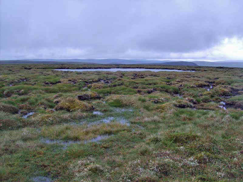
....and the small lochans just beyond the summit.
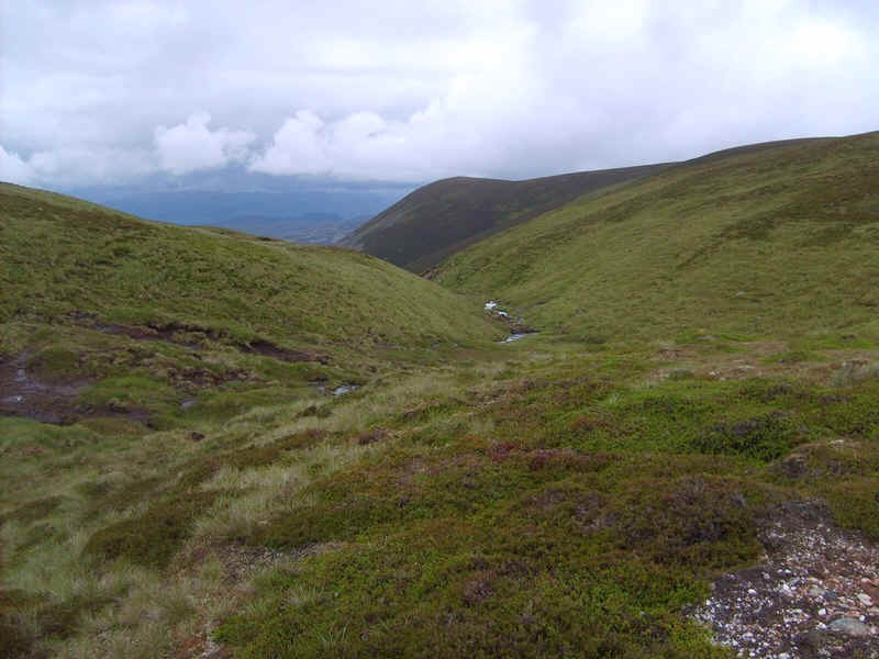
There was now a walk of about 2km straight across the peat hags to Creag Tharsuinn. At this point Meall Chuaich came into view on the left of this photo.
I headed for about NN719852, where the beginnings of a steam can be found among the peat hags.
In places there are signs of a path but most of the way I simply followed the eastern banks...
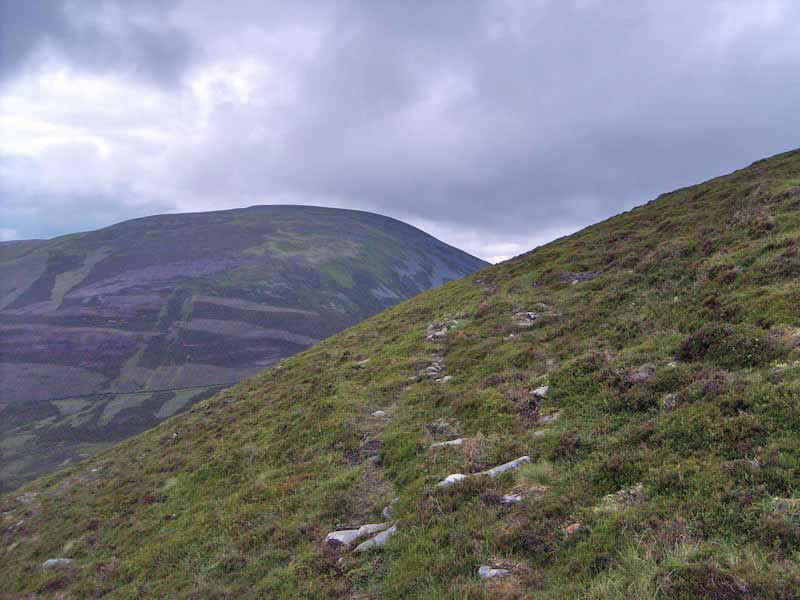
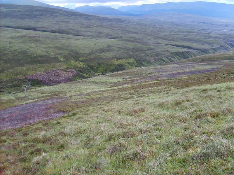
....until the stream plunges down into Coire Chuaich. Beyond is Meall Chuaich which looks, at this stage of the walk, intimidatingly steep.
A stalker's path begins round about NN721854...
.....and contours across the head of the corrie...
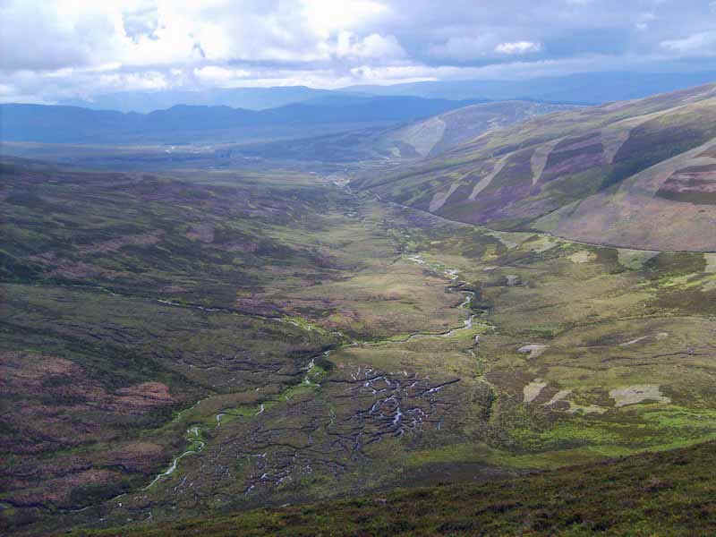
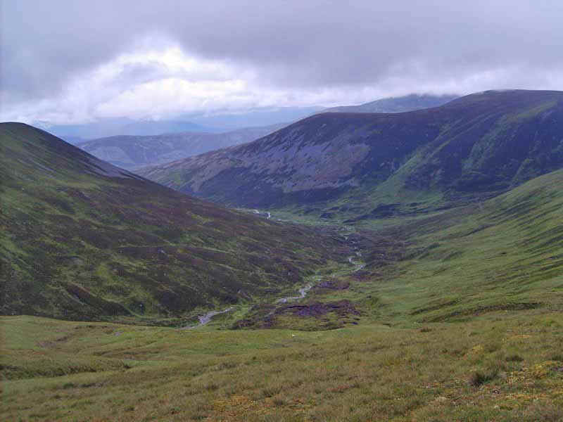
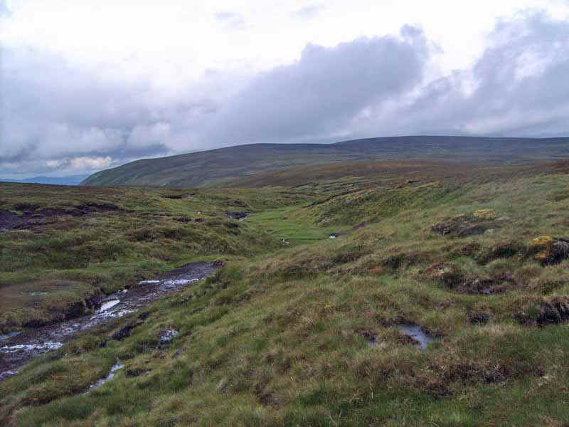
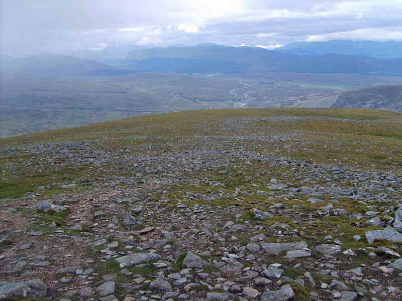
.....with fantastic views down towards Dalwhinnie.
Eventually, the path starts to zig zag downhill..
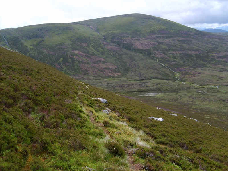
......towards the spot height of 614m at a bealach. The ground at the bottom wasn't as boggy as I'd expected but the climb uphill looked demanding.
I'd spotted traces of tracks through the heather on the slopes of Meall Chuaich and was able to use them for much of the way uphill.
One track headed from the bealach towards the boundary fence poles but then died out but...
.....later became more obvious once across the heather. The climb was extremely steep, however, and I did wonder whether climbing these three hills together would be better done in the opposite direction.
The climb finishes on the round grass dome of the summit after about 330 metres of ascent.
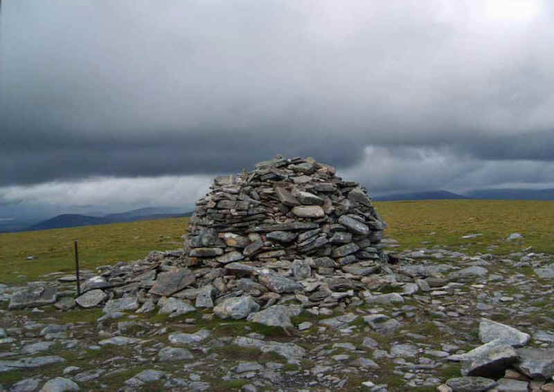
Clearly a lot of effort has gone into this cairn over the years! Meall Chuaich, at 951m, is the highest of the three hills on this side of the Drumochter Pass. To reach this point it had taken me about seven and a half hours from Dalwhinnie (45 minutes less from leaving the A9)
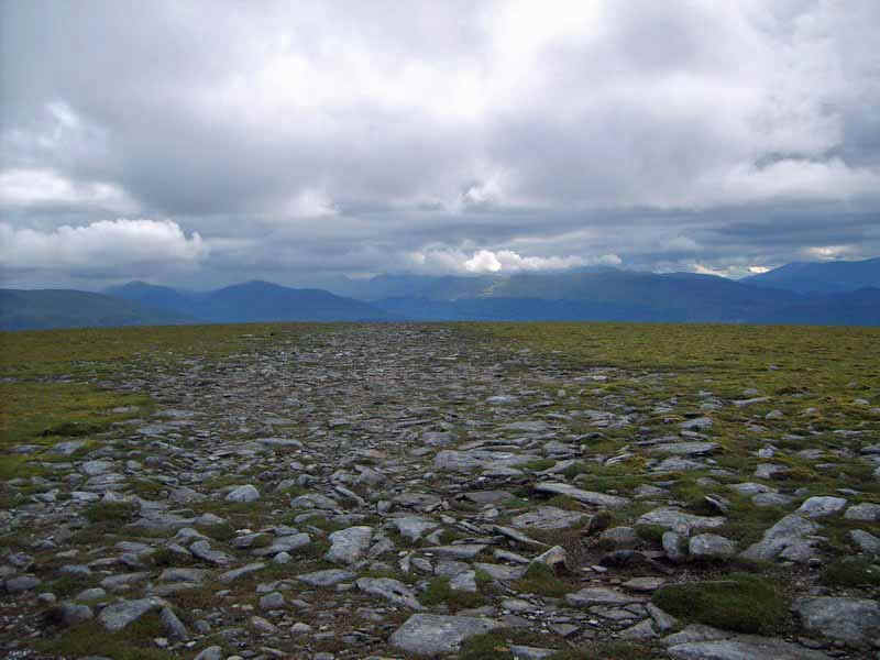
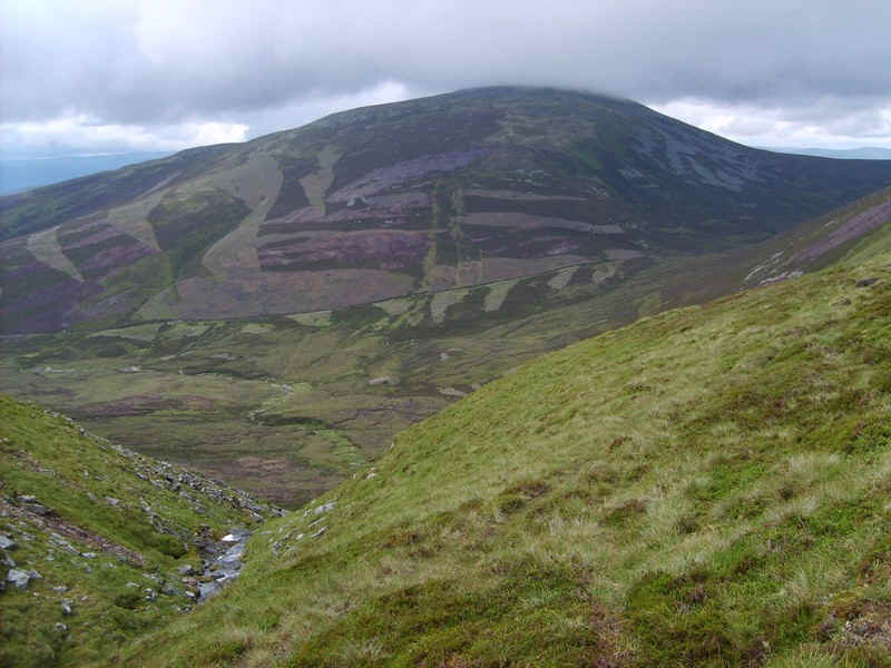
Views had been rather disappointing with most of the distant summits covered with cloud. These are obviously the hills towards Ben Alder. The path downhill is clearly visible in aerial photos and I'd decided to avoid using it if possible so ,after heading off in the general direction of the main path, I veered...
....off more to the south west...
...dropping down towards the Allt Coire Chuaich stream...
....and the track that is shown on the maps, but isn't visible almost until you reach it.
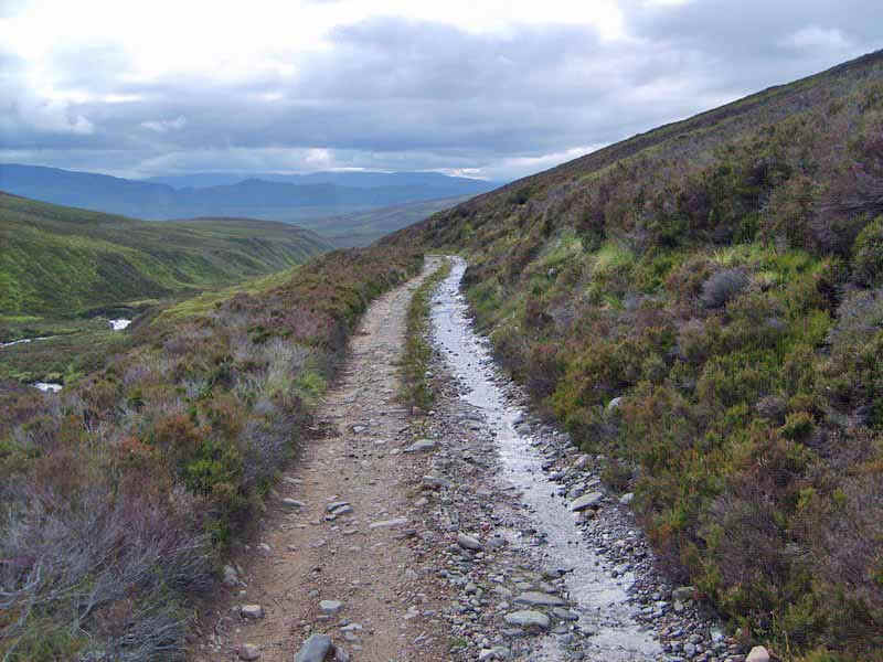
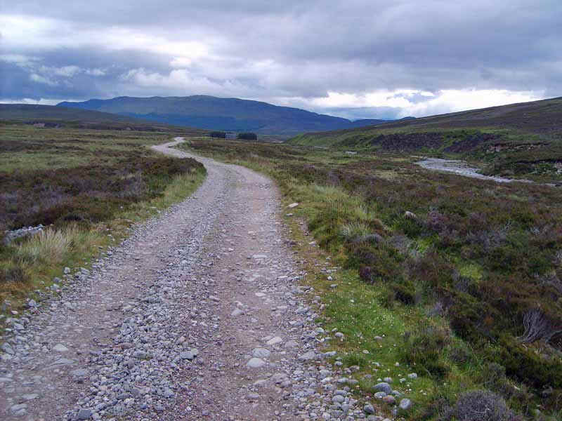
The broad track gives plenty of opportunity for a good end of walk yomp ...
.....past the bothy and the end of Loch Chuaich
A glance back reveals the heavily eroded path down from Meall Chuaich - my way down was much pleasanter I feel.
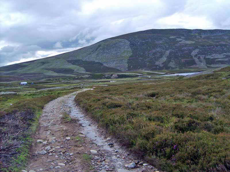
The hydro road goes past the small power station seen in the distance....
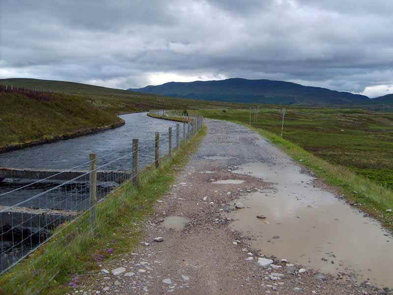
.....and then follows the aqueduct which continues all the way down to Dalwhinnie to emerge at a bridge on the A889 near the first photograph in this report . I arrived back at the station just over 11 hours after leaving having covered about 22 miles. I'd only taken a couple of very short breaks totaling at most about half an hour. It was a long and very tiring day but most enjoyable.