Geal Charn (Monadhliath)
The way points on this map are taken from my GPS Spot tracker. You can make the map bigger or alter its appearance by clicking on the controls.
I did this walk on the day after General Election in June 2017. Time to escape from politics for a few hours!
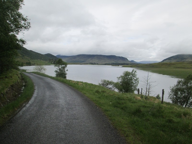
I drove from Fort William to Laggan on the Spean Bridge to Kingussie road and then along the single track road up the Spey valley passing....
...the reservoir at the Spey Dam.
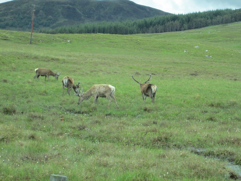
It's a very quiet road so when I saw these stags I got out of the car to photograph them.
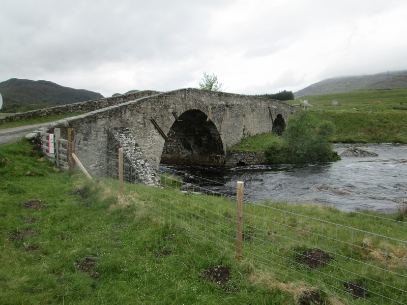
The public road ends at Garva Bridge where the OS map shows the road's continuation as General Wade's Military Road. The bridge was built in 1731 for the Dalwhinnie to Fort Augustus road and crosses the Corrieyairack Pass a few miles west of the bridge.
.
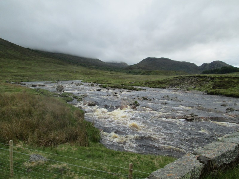
The Spey was still running very fast after the recent heavy rain so I was a bit concerned that I might have difficulty crossing some of the burns on my way to Geal Charn but in the end it wasn't a problem.
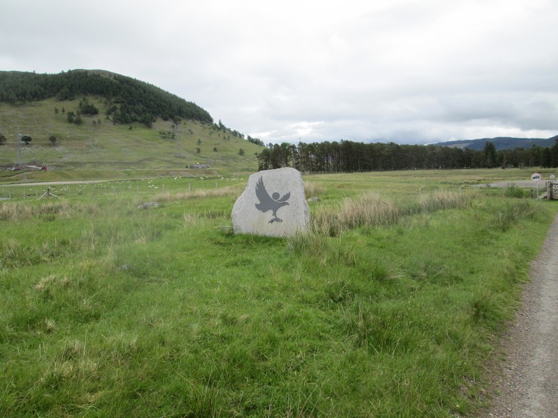
For some reason there is a boundary stone for the Cairngorm National Park just over the bridge. How much did that cost?
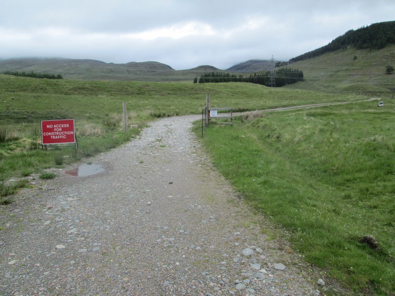
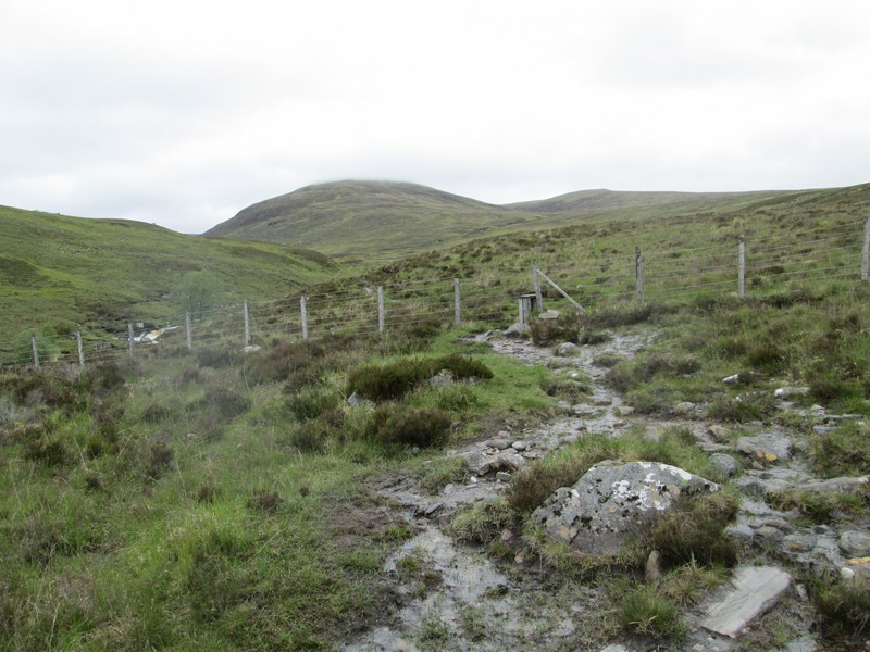
The first part of the walk is spoilt by the construction work for the Beauly to Denny power line
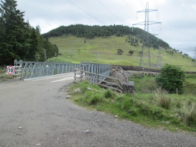
The construction road for the power line crosses a subsidary stream that flows into the River Spey. The power line does nothing for this area and has been highly controversial.
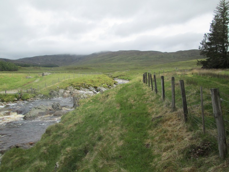
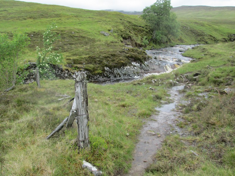
Once over the bridge the way to the hill crosses a delapidated fence and runs parallel to the Alt Coire lain Oig.
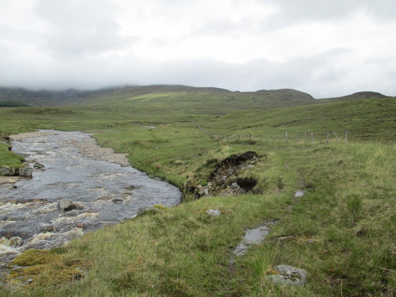
The path hugs the bank for some distance before...
...reaching the remains of a fence at NN5259595. The OS 1:25000 map shows a footbridge over the stream at this point but, as can be seen, the stone abutments are there but no bridge.
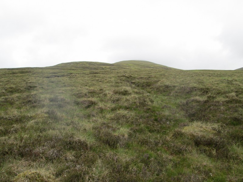
The ridge leading to the summit of Geal Charn is now visible with just a little cloud on it. The track now climbs away from the stream before..
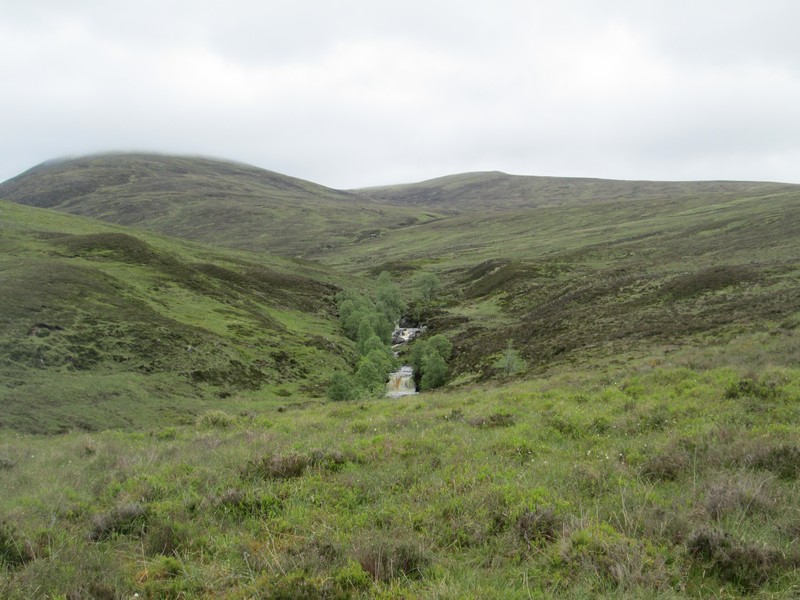
...returning to the stream where the trees line the banks.
A fence is crossed - long legs are needed for this style!!
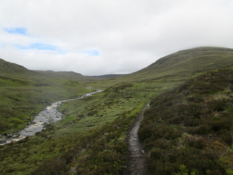
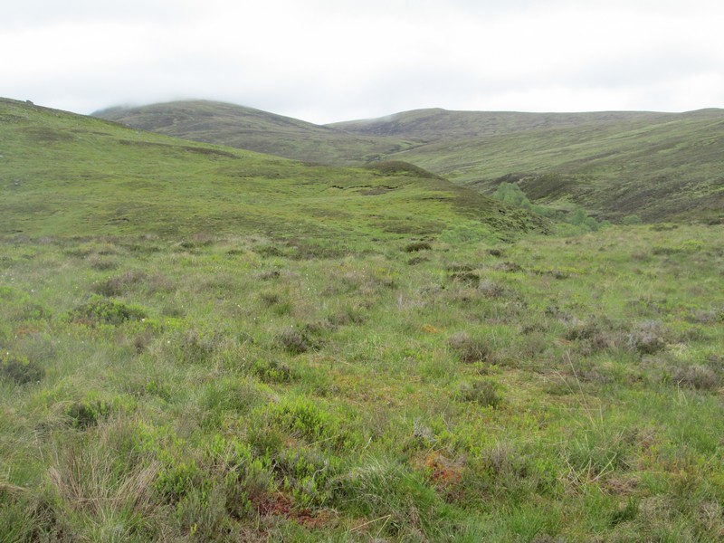
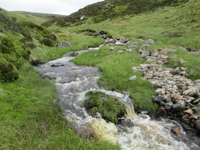
The path becomes really clear as the stream meanders across an open bowl on the hillside.
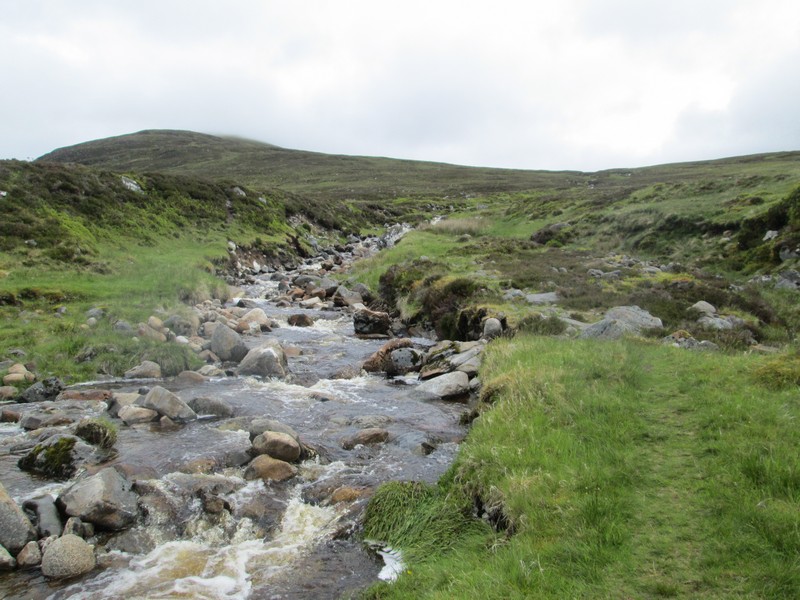
Where the Allt Coire nan Dearcag joins the main stream the path turns up along the southern bank.
As there was quite a lot of fast flowing water I decided that rather crossing the stream lower down and risk getting wet feet, I'd follow the stream uphill until I found a suitable crossing point. It was obvious that many other walkers had done the same.
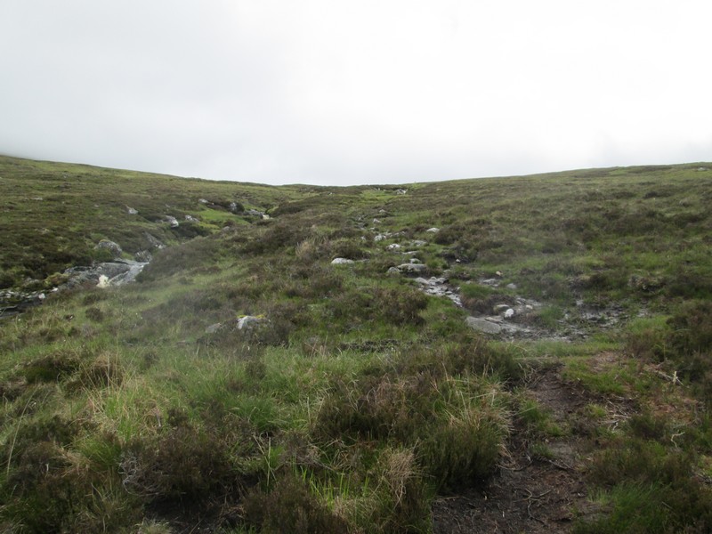
Eventually I found a spot that could hardly have been easier and stepped across on grass! I entered the position in my GPS for the return.
I then headed slightly north westwards to try to intercept the main path to Geal Charn..
...which I met within a few hundred metres.
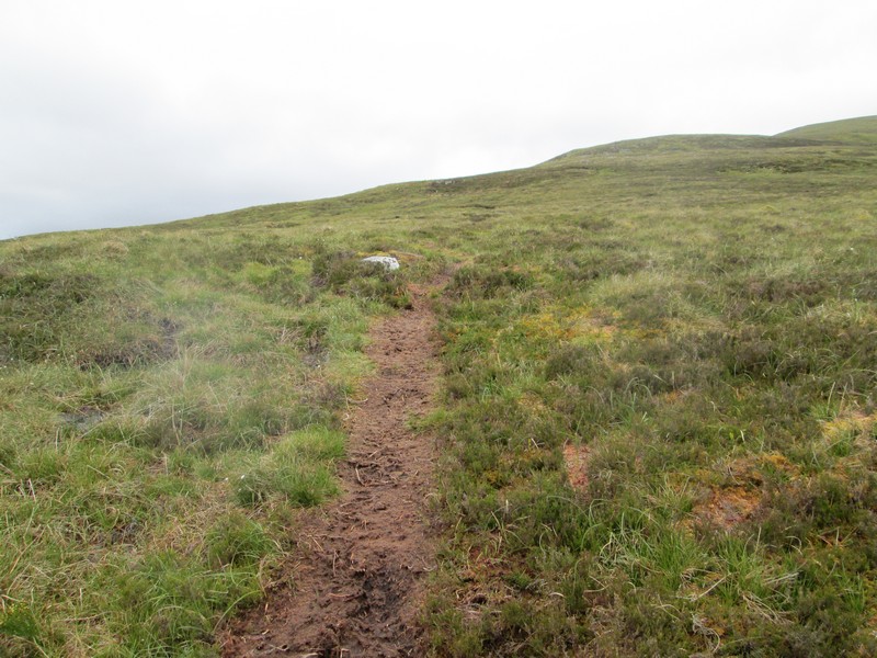
It's an easy walk up a clear path mainly over grass.
Click on photo for a larger image and then click again for the full sized image.
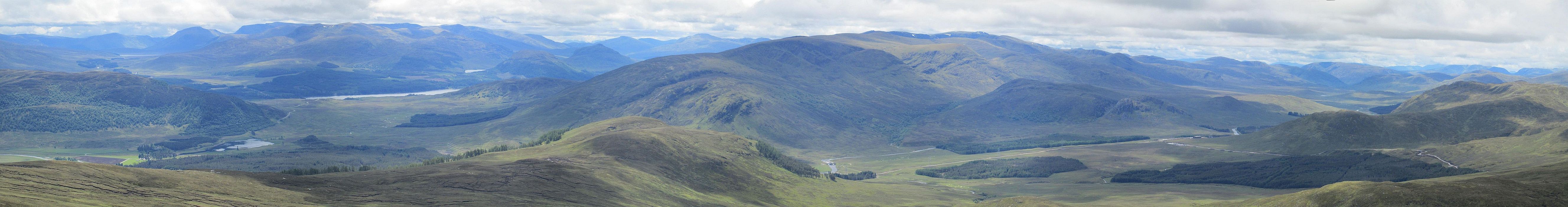
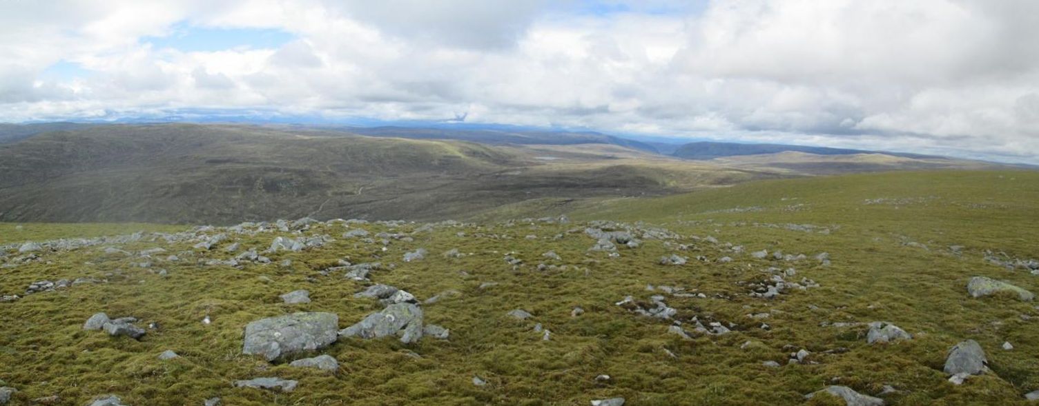
To the left of the large area of water (Loch Laggan) the high point is Ben Alder. Almost in the centre down in the valley is Garva Bridge. The best views to the south can be found here before reaching the summit dome.
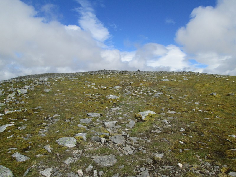
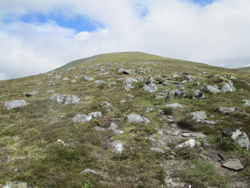
What might appear at first glance to be the summit is actually just a cairn at about the 900 m contour ...
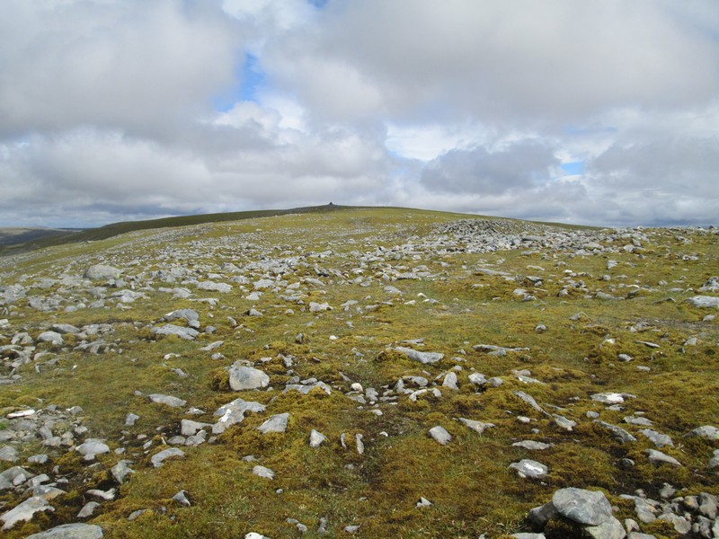
...with the actual summit cairn nearly three quarters of a kilometre way across the grassy dome of the hill.
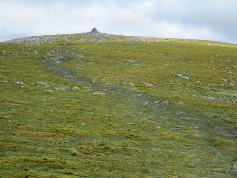
The final approach is across grass..
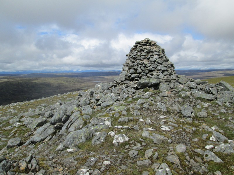
...to the impressive cairn. The walk had take me almost exactly three hours. By now it was a beautifully warm and still day and several other walkers appeared over the next half hour. To my amazement I not only had mobile reception but I could also get 4G internet access - this of course meant I couldn't escape politics after all.
Whilst views from the summit are extensive the domed nature of the hill, and also its isolation from prominent nearby peaks, means that this hill doesn't really offer exciting panoramic views.
Click on photo for a larger image and then click again for the full sized image.
This is the view looking west. The views eastwards towards the Cairngorms were relatively poor with quite a lot of cloud obscuring the summits.
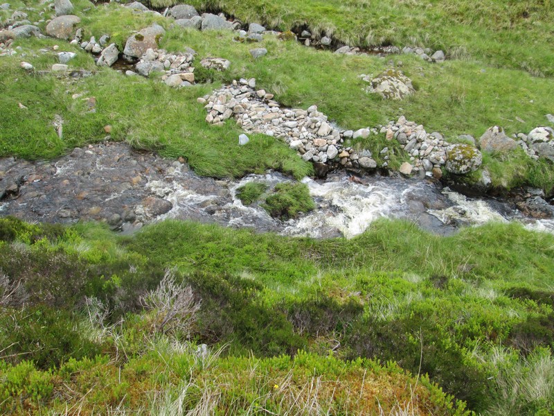
After a long lunch it was time for a gentle stroll back down hill. As I approached the Allt Coire nan Dearcag I decided to see how accurate my GPS would be if I walked to the point indicated. Here I am looking down on the exact spot I'd crossed the burn early. Accurate to within 5m was on the screen. Spot on!
The return walk from the summit to Garva Bridge took exactly 2 hours.