I did this walk in September 2016 on a beautifully clear day. Having stayed overnight at Kirriemuir I drove up Glen Clova to the large car park near Glendoll lodge (£2.00 fee)
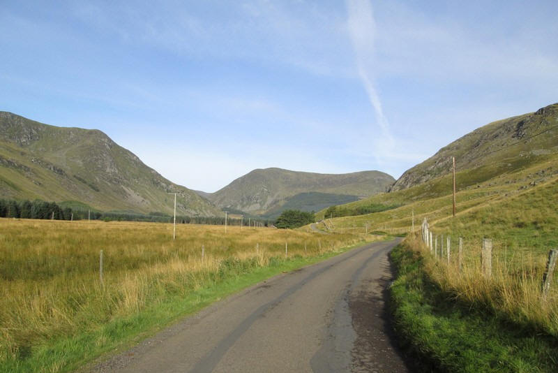
It's about a four mile drive along a single track road from the B955 at Clova with Craig Mellon (866m) seen ahead. That's a Corbett as far as height is concerned but as it doesn't have sufficient drop around it on all sides it isn't of course.
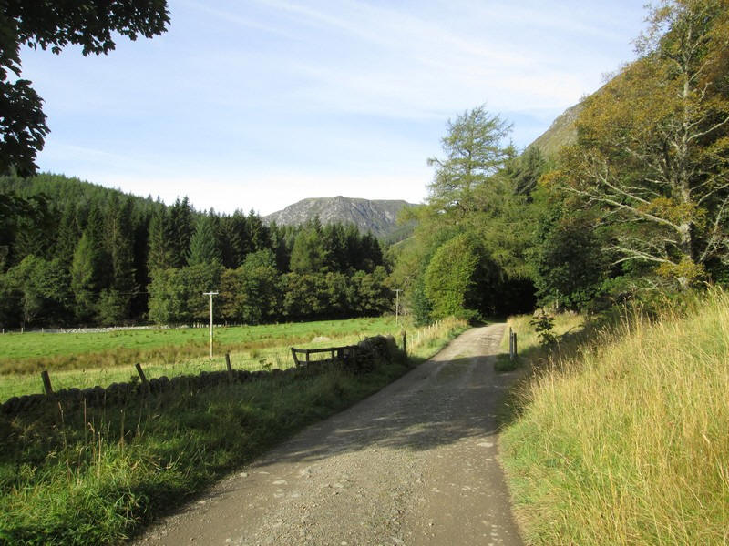
The initial stages of the round of the two Munros Mayar and Driesh are along forest roads. I decided to do the circuit anti-clockwise to put the stream crossing at the end of the walk rather than the beginning - no point in risking wet feet at the start of the walk.
The way to Mayar leaves the Jock's Road path at this sign and heads down to a bridge over the White Water.

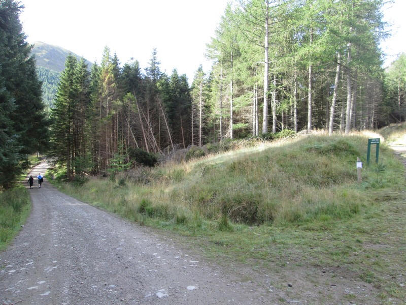
The forest road climbs up through forest that is being cleared...
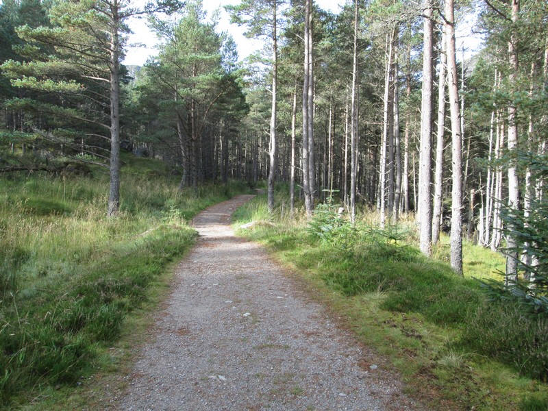
...to a vehicle turning point where the path narrows through the trees.

There are information boards about the geology of the area - here the trees are covering mounds of glacial deposits or drumlins.
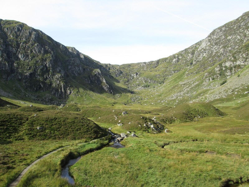
The emerges from the trees into the Corrie of Fee - note the drumlins that litter the corrie floor. These are some of the best examples I've seen on my walks in Scotland.
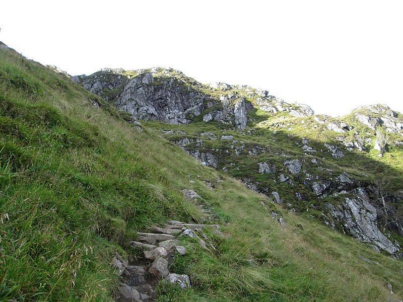
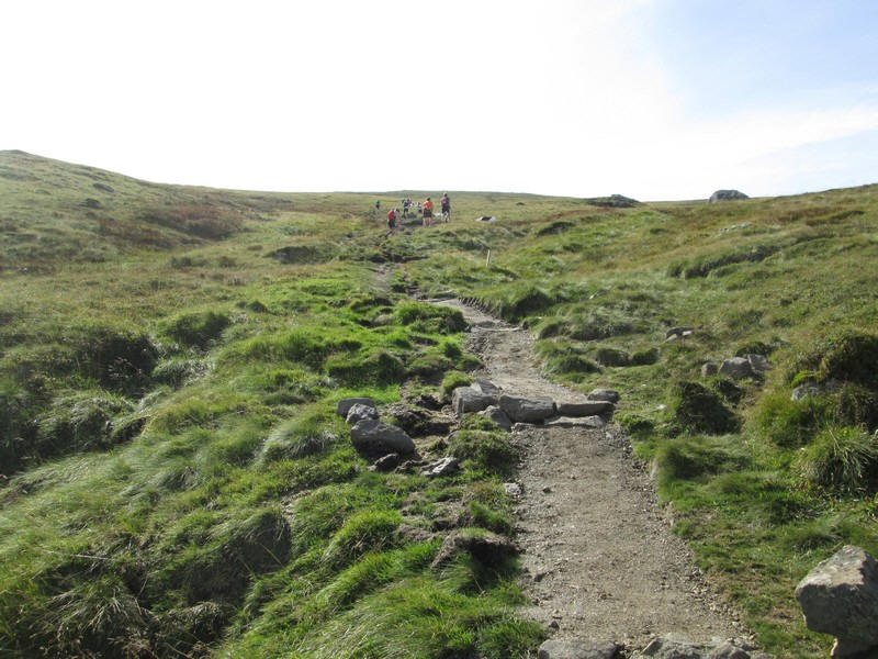
Here the path is starting to climb up the corrie headwall.
Looking back across the corrie floor - notice how the drumlins are aligned in the same direction.
The National Trust for Scotland have done a superb job on the path which is easily graded and well maintained.
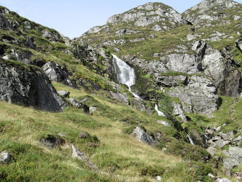
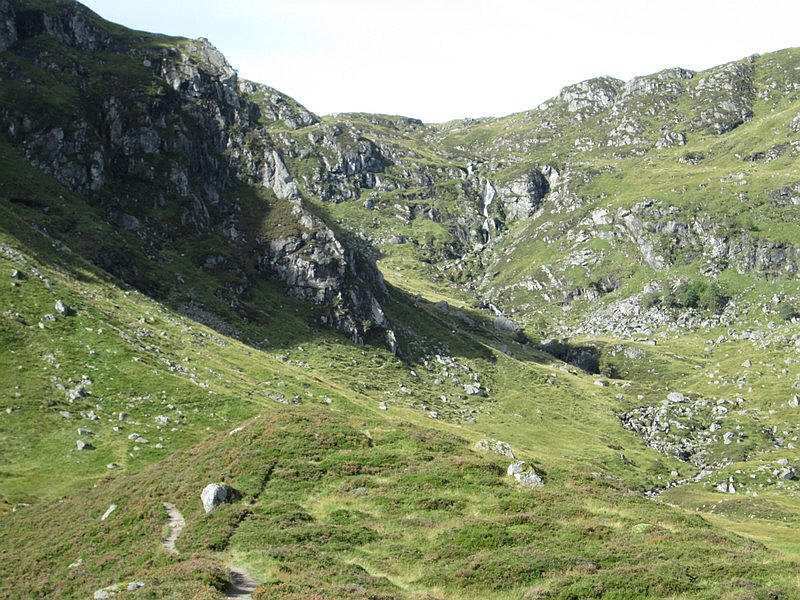
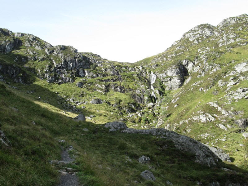
A prominent feature of the walk is the waterfall of the Fee Burn, although as there hadn't been a lot of recent rain it wasn't as spectacular as it could have been.
Unfortunately, I'd chosen a day when there was a biathlon in Glen Clova, with a cycle race followed by a fell run over the two Munros. There were 170 competitors and my peace was about to be shattered as they caught me up. Despite the loss of my solitude I have to say they were unfailingly friendly and I simply stood aside for them to pass where necessary.
Looking back downhill into the corrie a few runners can be seen.
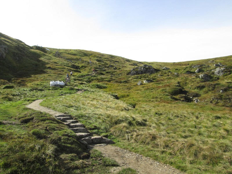
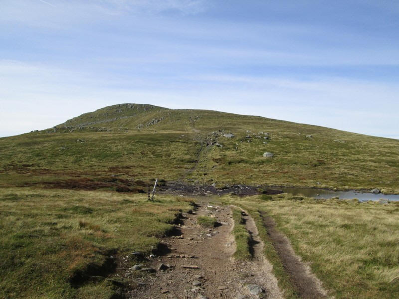
The path emerges at the Knapp of Fee onto the gently sloping plateau that...
....leads towards the summit of Mayar.
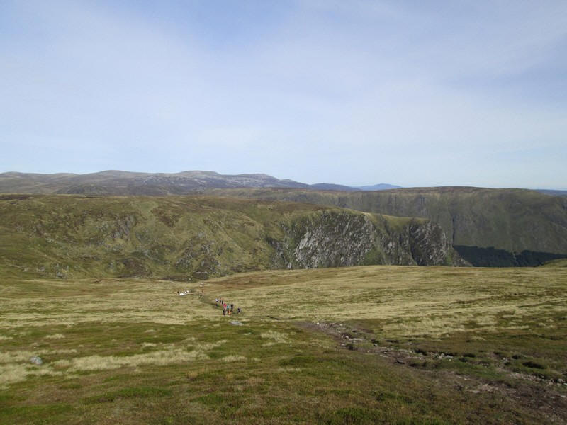
This is the view looking back down the path from near the summit. As can be seen the runners were coming thick and fast.
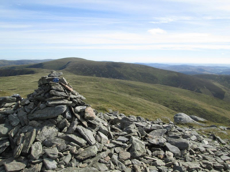
The summit cairn of Mayar (928m) with the next Munro, Driesh (947m), directly ahead. Over to the right the North Sea is clearly visible.
It had taken me about two hours of very gentle walking to reach the summit.
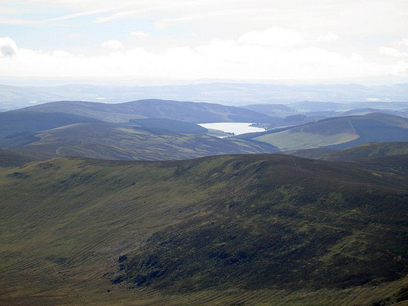
To the south, across Glen Prosen, is the Backwater reservoir.
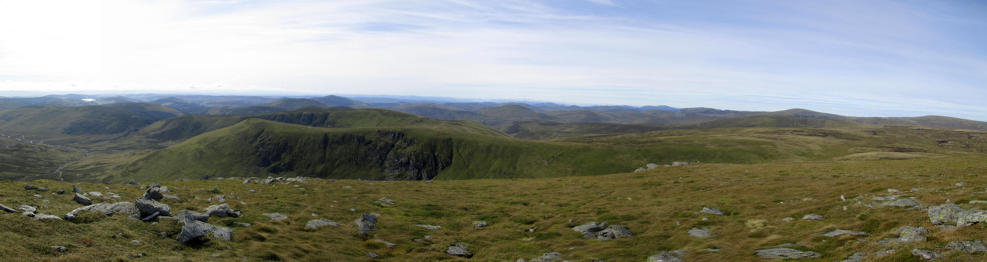
A panoramic view from the summit of Mayar from the south (left of the photo) to the north west (right). It's possible to identify Ben More near Crianlarich 58 miles away.
Click on the photo and then click again on the new image to see it full size.
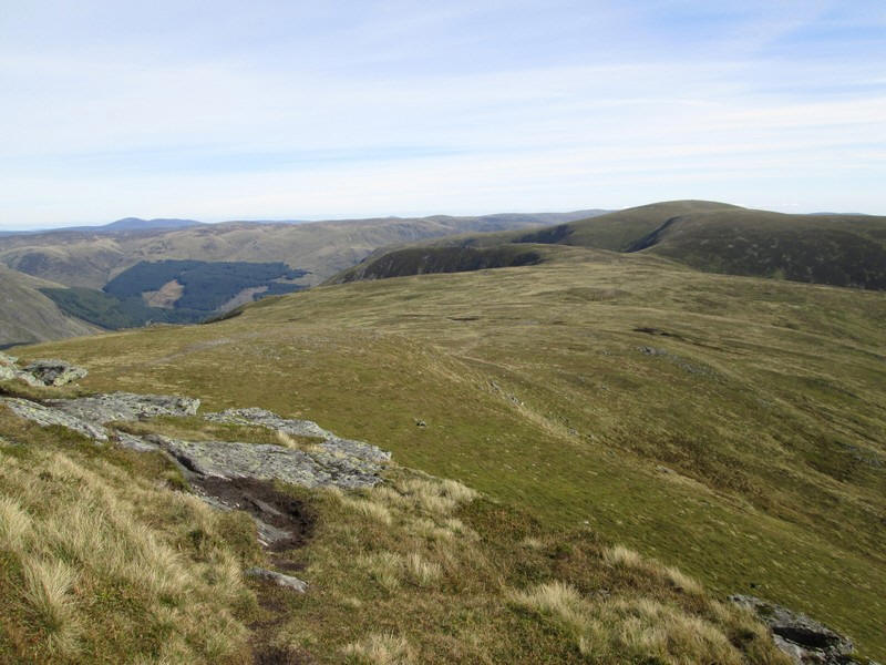
The path to Driesh drops slightly downhill for a delightful ridge walk.
Panorama looking north towards the hills of the Mounth with the highest point visible being Lochnagar.
Click on the photo and then click again on the new image to see it full size.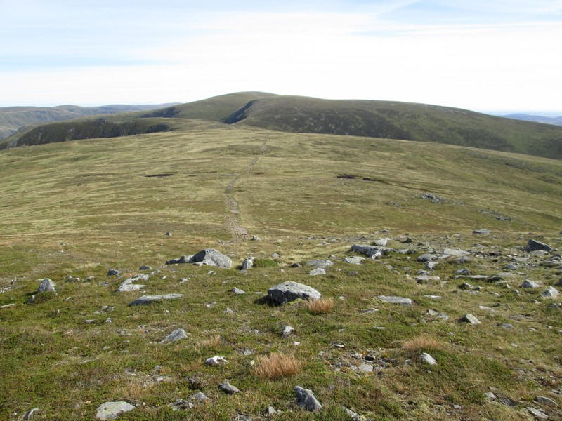
Onwards towards Driesh.
Dropping to a slightly boggy area.
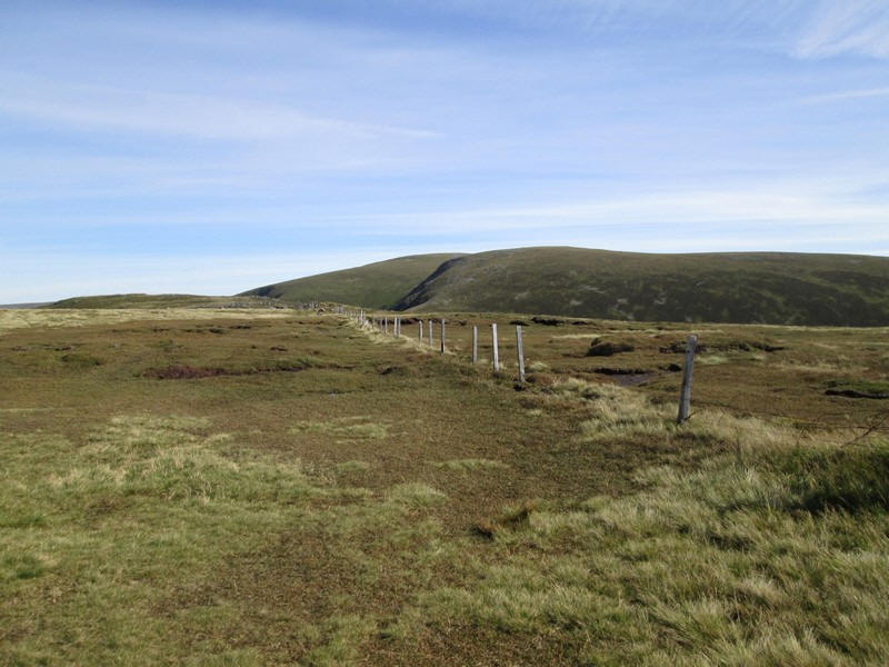
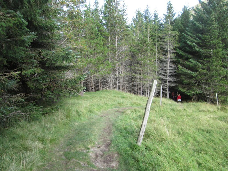
A line of fence posts appears where the Kilbo Path comes in from the south..
...and these are followed until a track branches off to drop down to the head of Corrie Kilbo. This could easily be missed in hill fog.
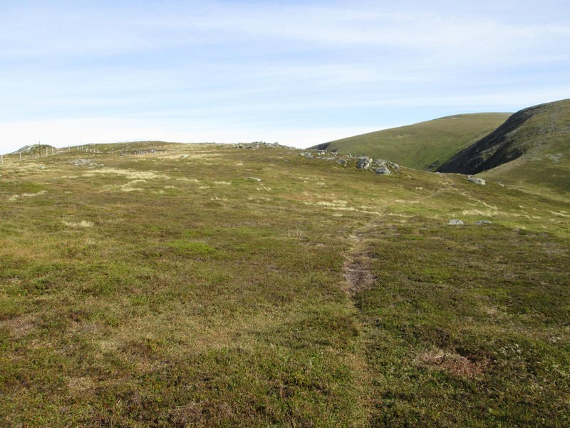
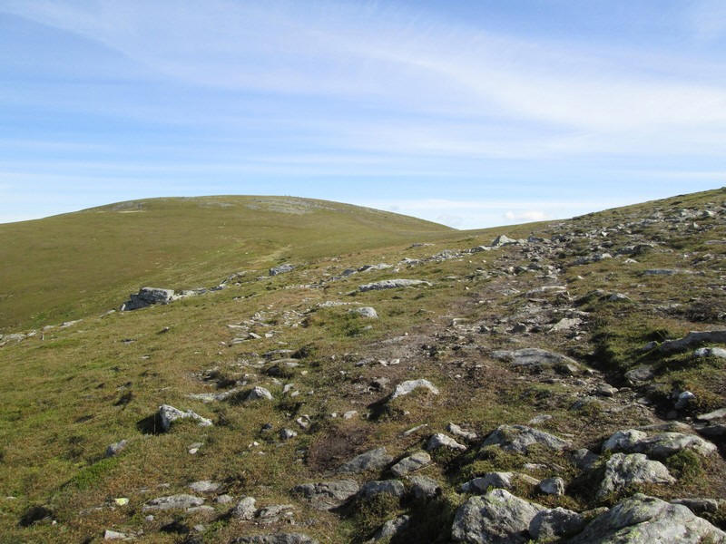
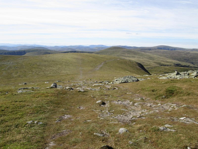
Another delightfully easy section follows as the path drops down to the col at 809 metres.
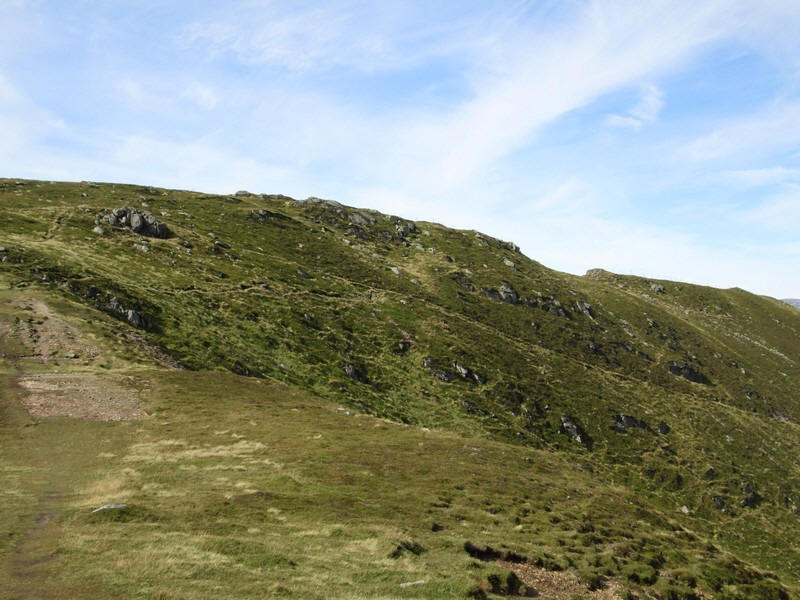
The way up to Driesh is well worn with either a path along the cliff edge or one further away from the drop.
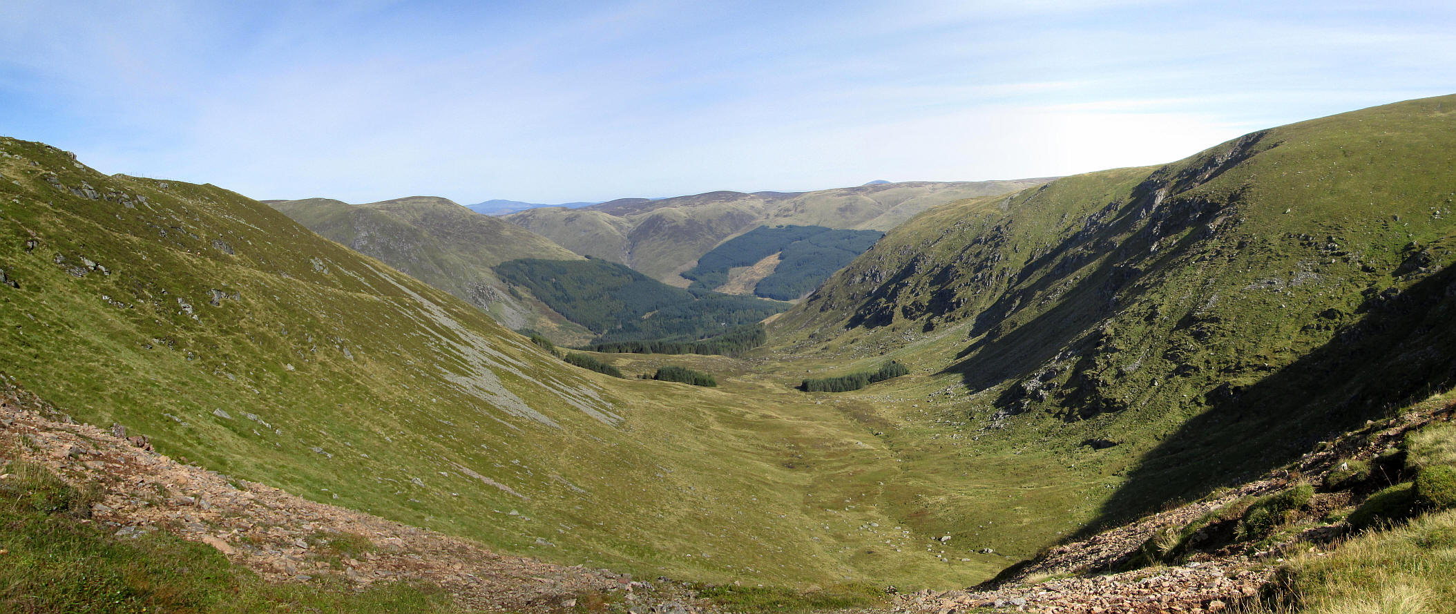
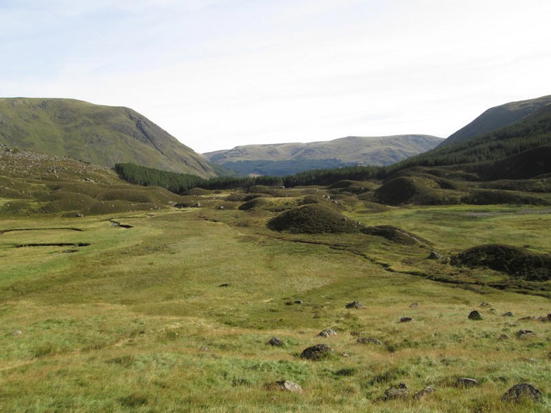
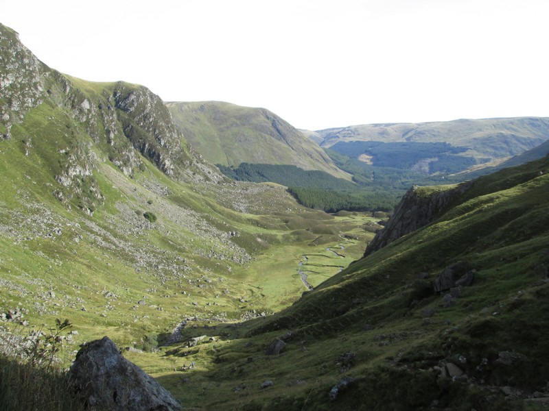
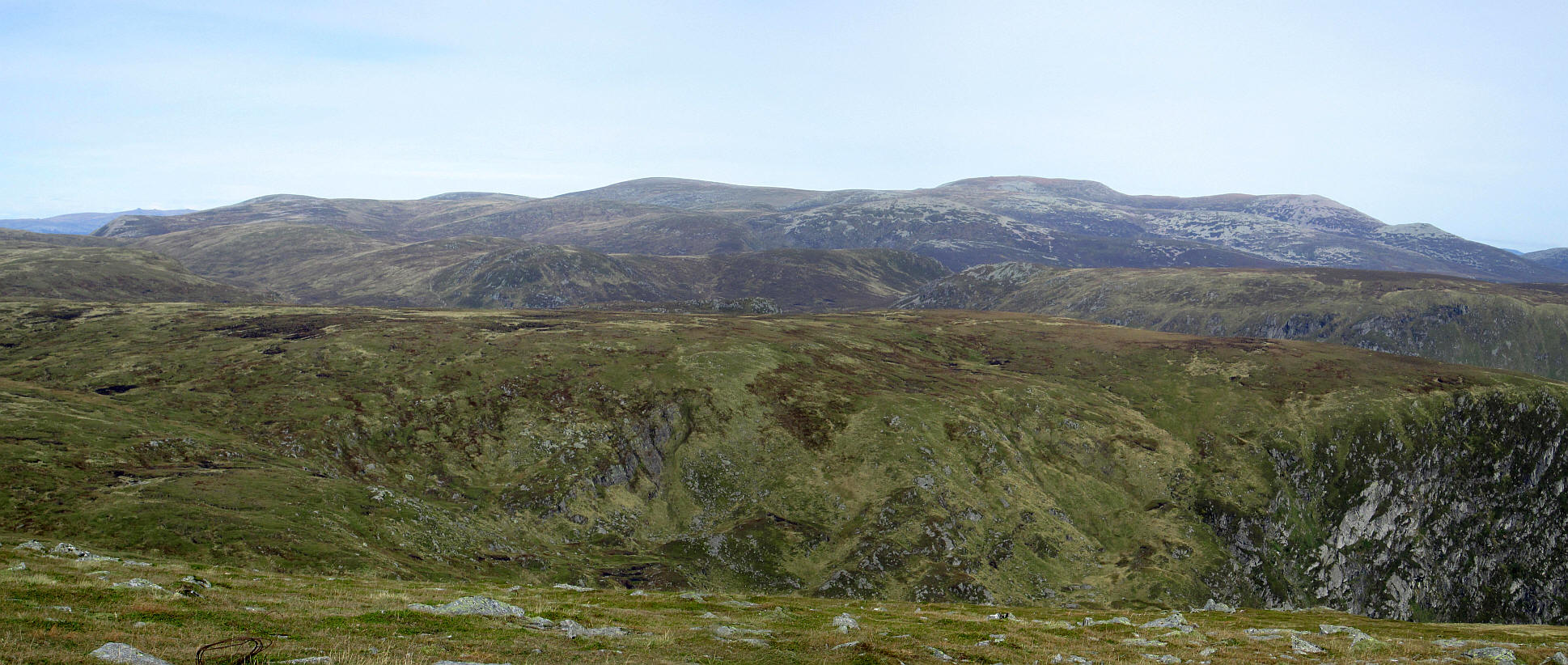
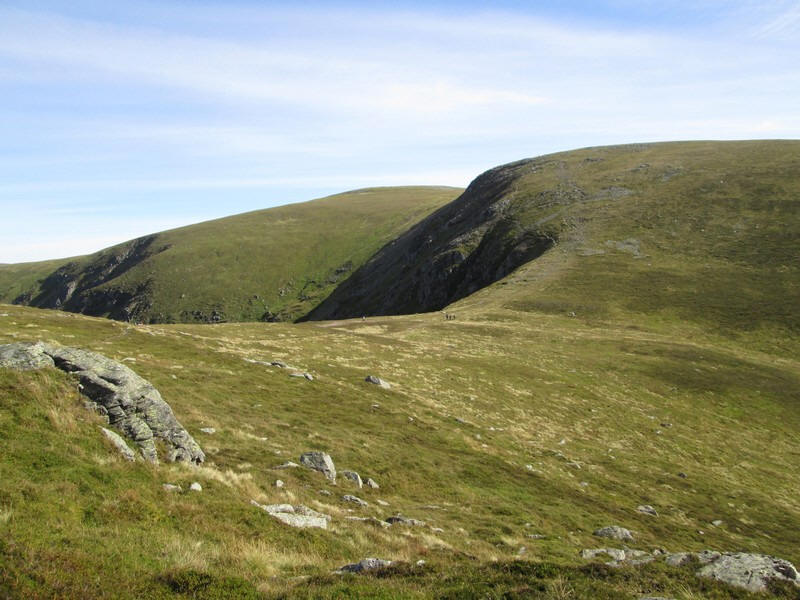
A panorama of Corrie Kilbo with the return path sloping downhill along the edge of the delightfully named Shank of Drumfellow.
Click on the photo and then click again on the new image to see it full size.
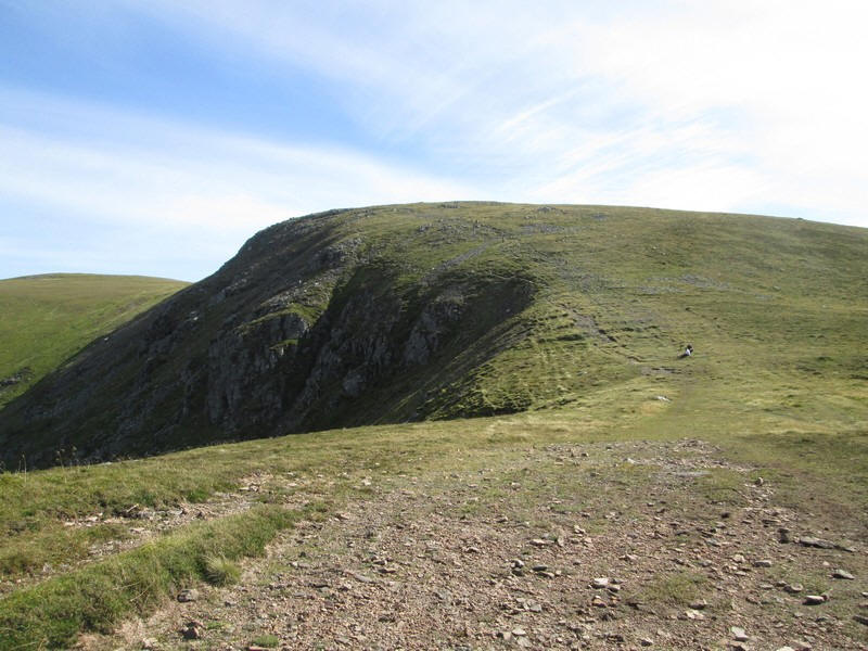
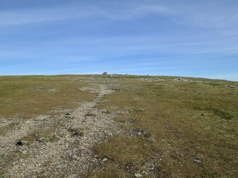
The path to the summit skirts the edge of Little Driesh...
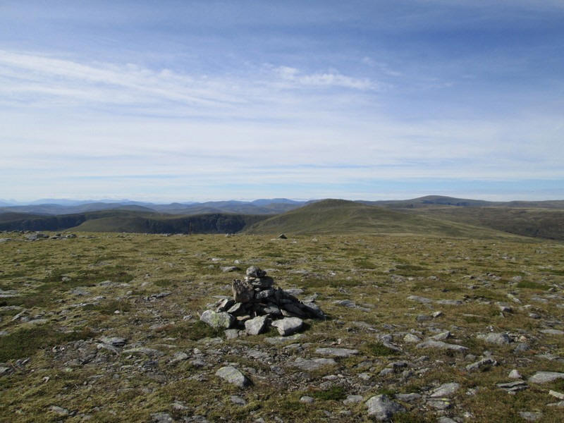
...but it's only a few extra steps off the path to the cairn at the top (915m).
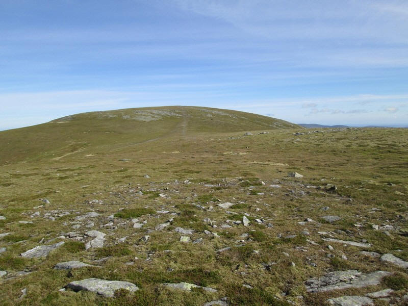
Onwards along the ridge to Driesh's summit.
Looking back downhill over Little Driesh towards Mayar.
The summit of Driesh is a grassy dome...
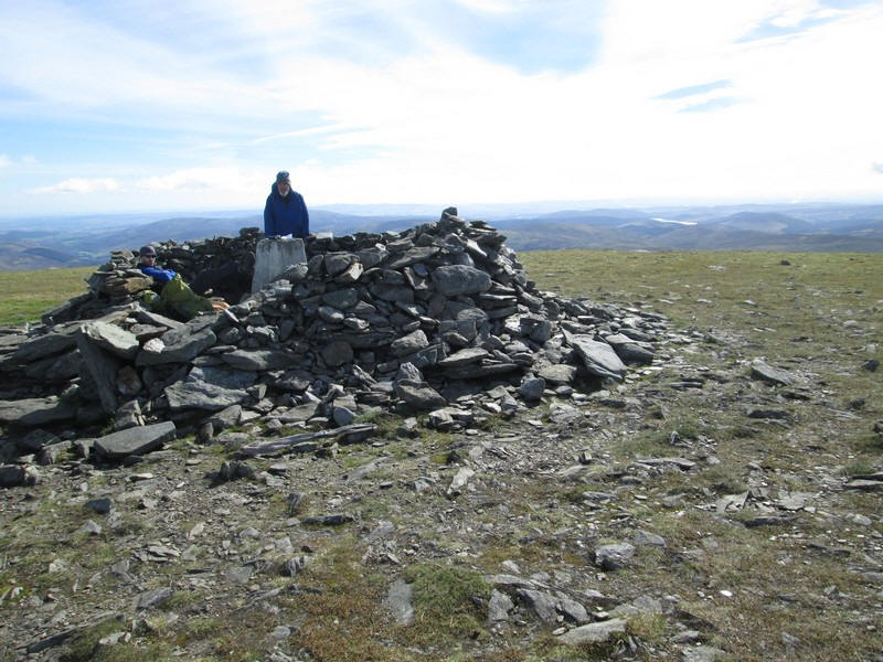
...with a large shelter inhabited by two members of the race's checkpoint team. It had taken me just over an hour to walk from Mayar.
The return from Driesh was back down to the coll at the head of Corrie Kilbo and then down the Kilbo path. This is absolutely straight and at an almost consistent gradient.
After passing the mountain rescue team with the stretchers (nobody was in need of the ir services thankfully) it was off along the link path ......
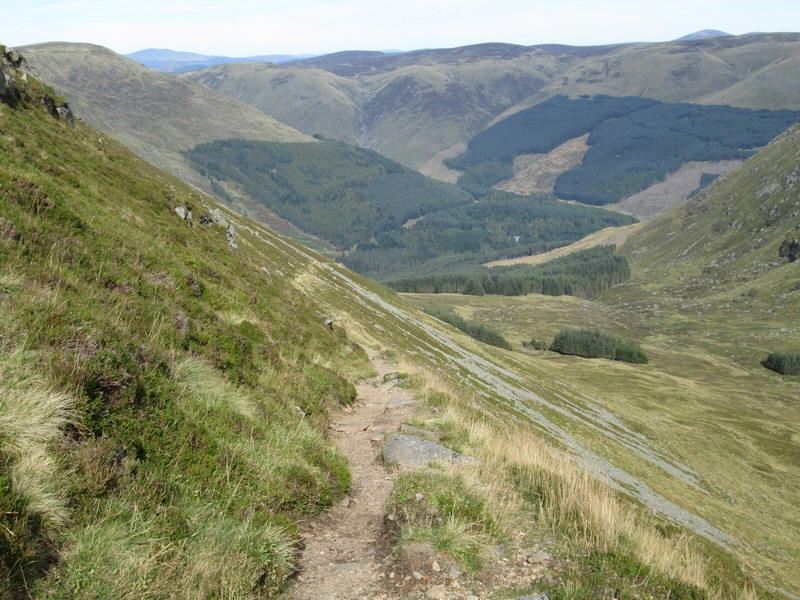
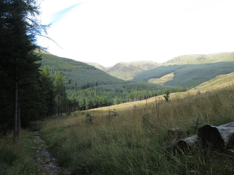
...and then downhill towards the forest.
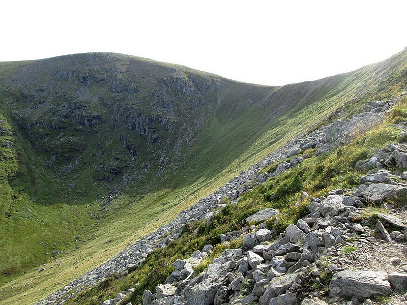
Looking back at the headwall of Corrie Kilbo. It's now obvious why the Kilbo path traverses diagonally up the side of the Shank of Drumfollow to avoid a really steep climb.
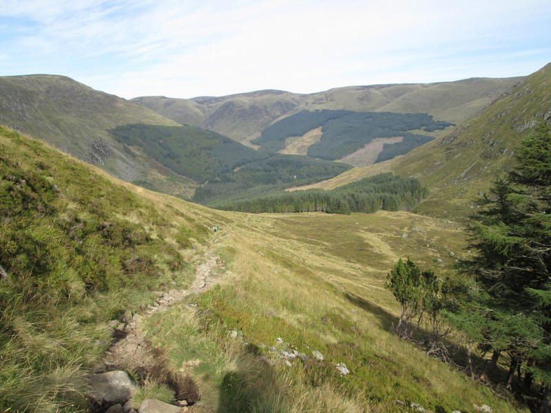
Onwards and downwards to reach...
...the edge of the forest
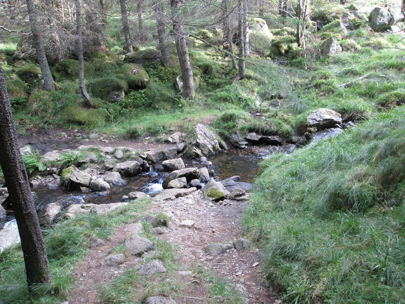
The path crosses the Burn of Kilbo at stepping stones...
...before running by the side of a cleared area. This leads down to a bridge over the White Water and the car park.