Meall a' Phubuill
I climbed the Corbett Meall a' Phubuill from Fassfern in August 2023. It is possible to reach Fassfern by bus or train. The Fort William to Mallaig bus passes then end of the road up to Fassfern village (about 10 minutes from the bus stop to the village) whilst using Locheilside station requires about half an hour's walk along the verges of the main road.
I wanted to start by nine o'clock so decided to hire a taxi to get me to Fassfern and returned on the bus.
The map above shows my track taken from my Spot personal tracker. Click on the top right corner to see a larger map.
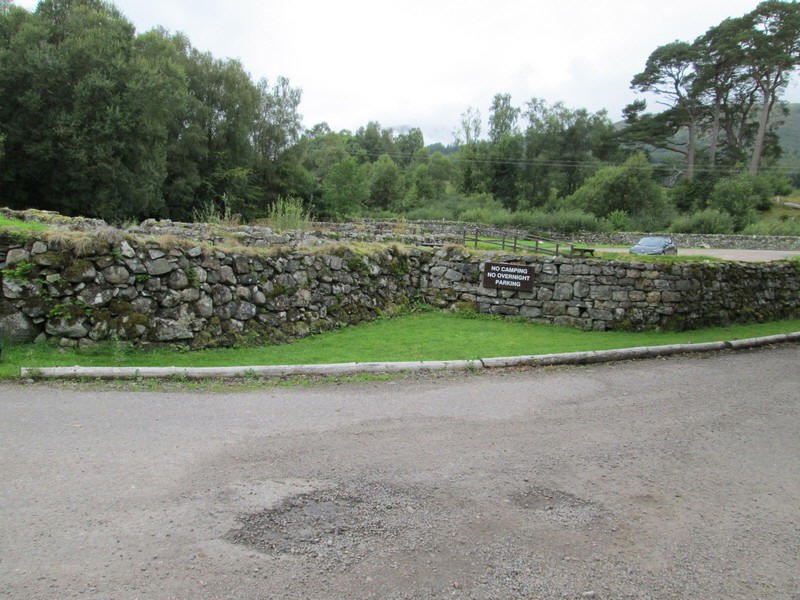
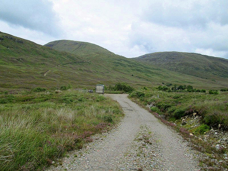
The taxi dropped me off at the large car park at Fassfern which is surrounded by curiously shaped drystone walls which appear to have been standing for many years.
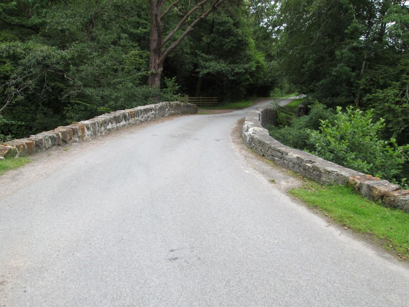
From the car park cross the bridge over the An t-Suileag.....
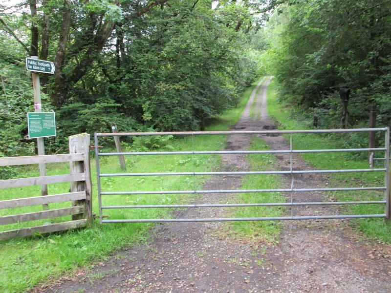
....and immediately turn left through the gate on the estate road that leads eventually to Glen Loy.
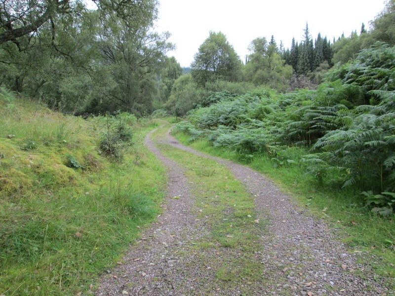
The road is a delight to walk along and progress can be rapid up Gleann Suileag. It's smooth and .......

.....is frequently close to the river...
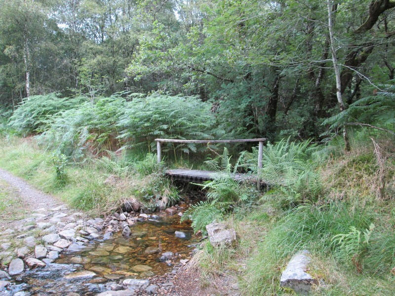
....whilst a footbridge will be useful if the ford is deep.
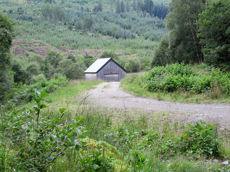
After passing a small hydro electric power station building the road turns uphill.....
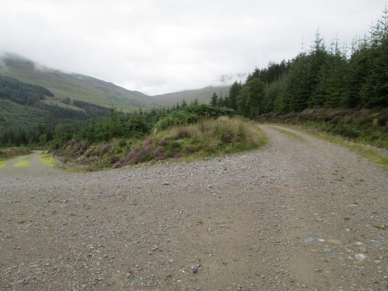
......to a junction with a higher forestry road.
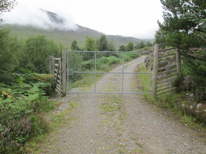
This passes through a gate at the end of the forest...
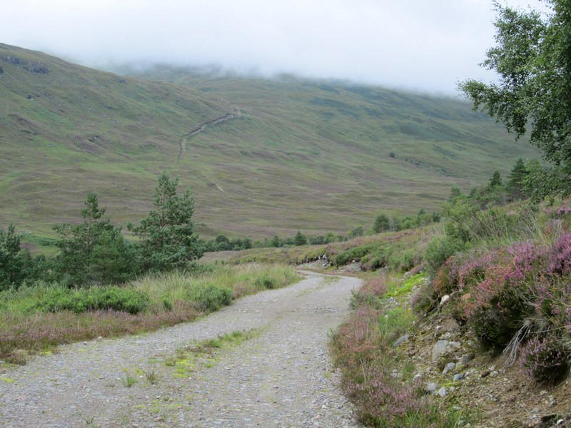
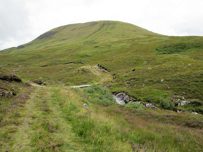
....before dropping down to the river in the upper part of Gleann Suileag. Meall a' Phubuill (directly ahead) was hidden under clouds at this stage. On the hillside the stalkers' track that leads to the start of the hill walk can be seen climbing up the hillside.
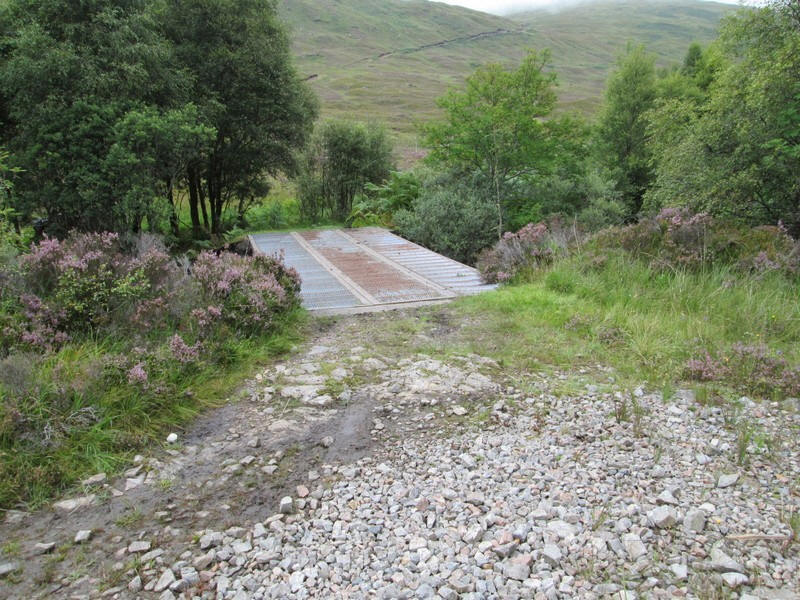
The stalkers' track branches off the estate road at this metal bridge....
......crossing the An t-Suileag
The stalker's track climbs up along the lower slopes of the Graham Meall Onfaidh.....
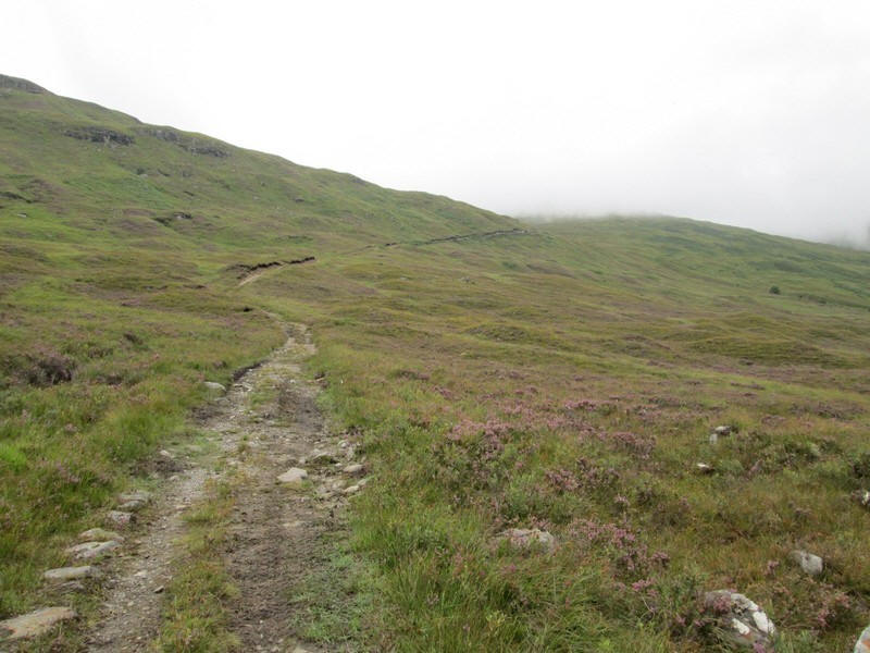
.... and is easily graded...
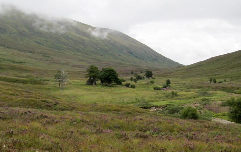
.... whilst over to the east is the Glensulaig bothy.
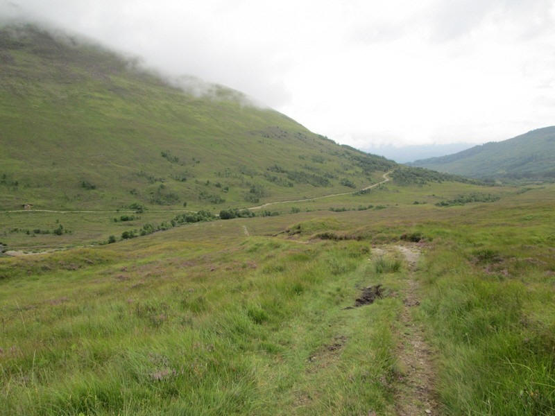
Looking back down Gleann Suileag.
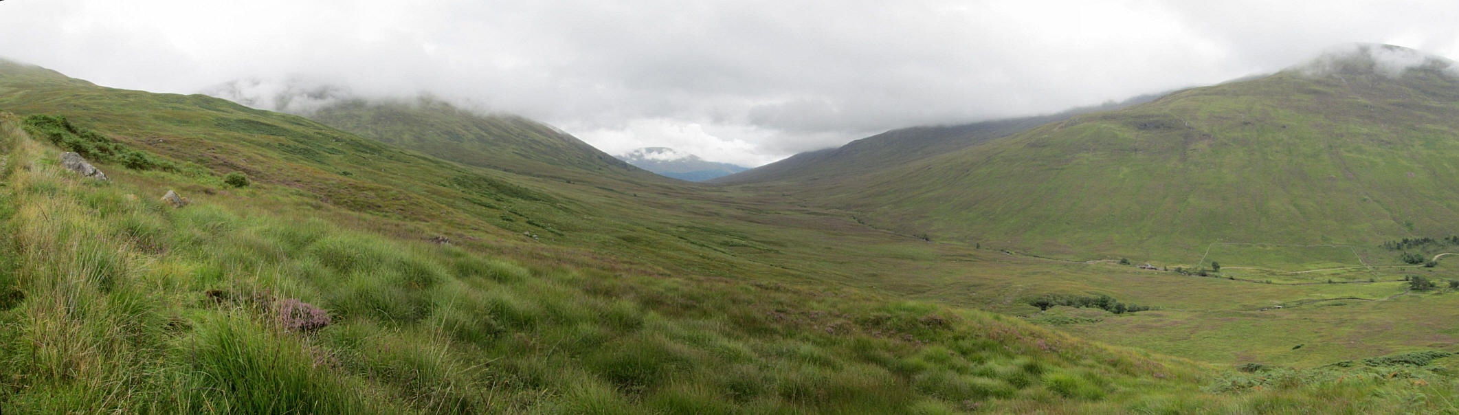
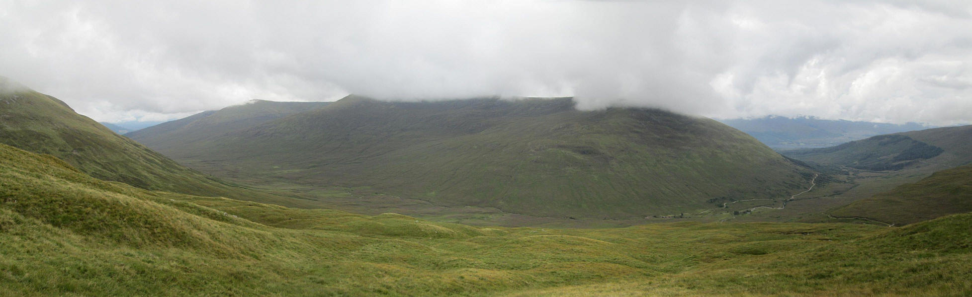
This panorama shows the watershed at the pass across to Glen Loy with the slopes of Druim Gleann Laoigh on the left and on the right the Graham Druim Fada.
Click on the image to enlarge it.

The map shows the watershed (red circle) between Gleann Suilaig (to left) and Glen Loy (to the right) with the tributary streams almost at right angles to the main streams.
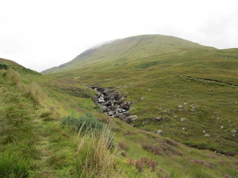
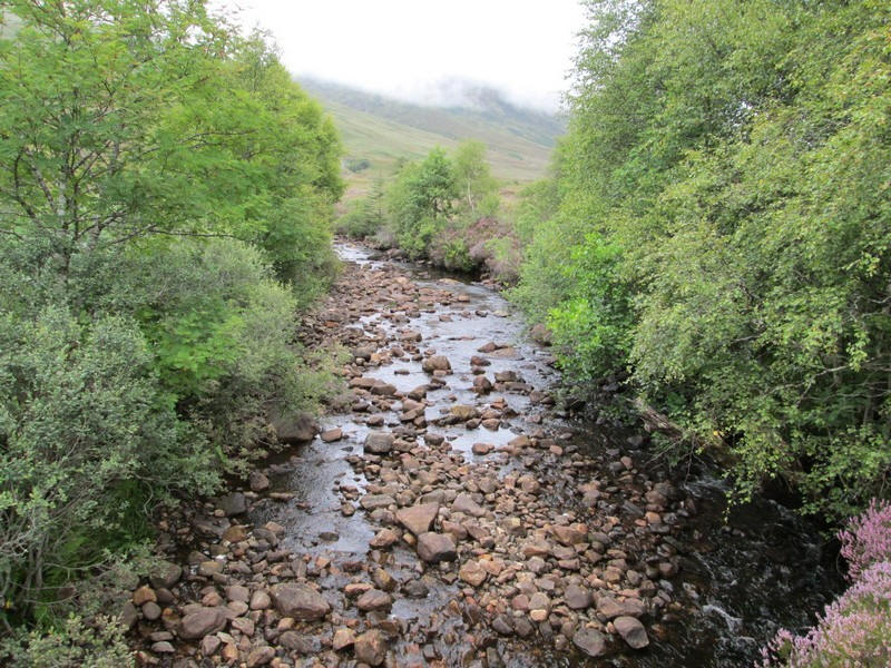
The stalker's track approaches the waterfalls of the Allt Fionn Doire....
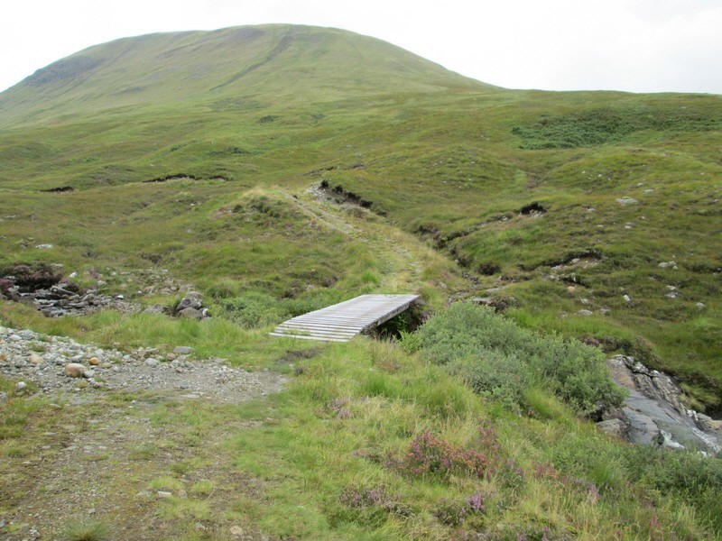
....and just beyond is a bridge over the stream. The walk to this point had taken one hour and forty five minutes - exactly as planned.
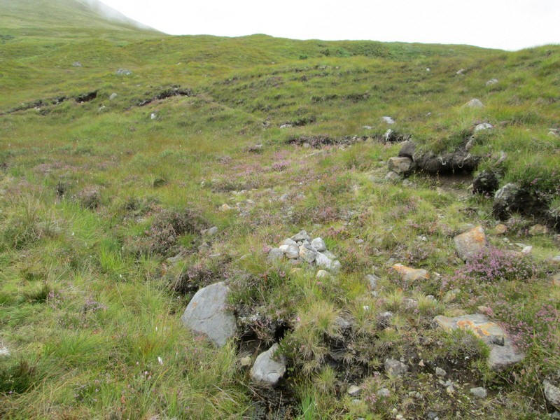
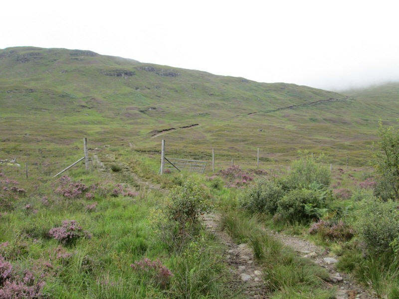
As I expected there is no path up Meall a' Phubuill although a cairn marks the start of a vague track which disappears after a few metres.
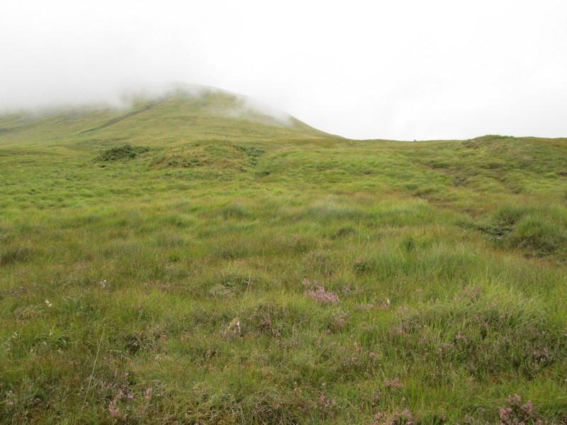
From now on its a pretty unremitting slog uphill, not helped by humidity being extremely high and midge activity being apparent so I put my midge hood on to protect my face.
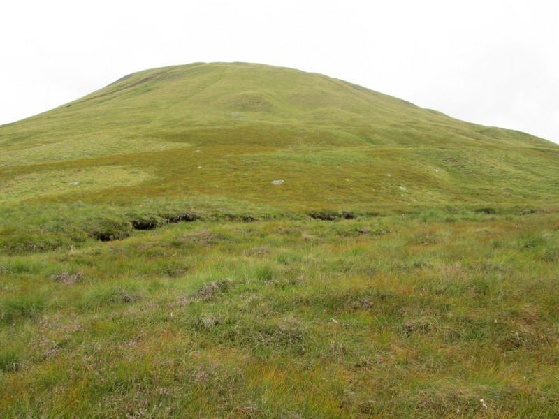
No that is not the summit!
I made several stops for water as the sweat was literally dropping off my forehead. The panorama is looking back across the glen to Druim Fada. In the right distance are the hills on the far side of Loch Eil in Ardgour.
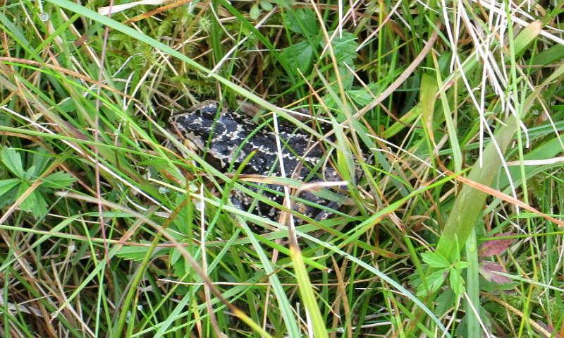
I disturbed this frog which then froze allowing me to photograph it.
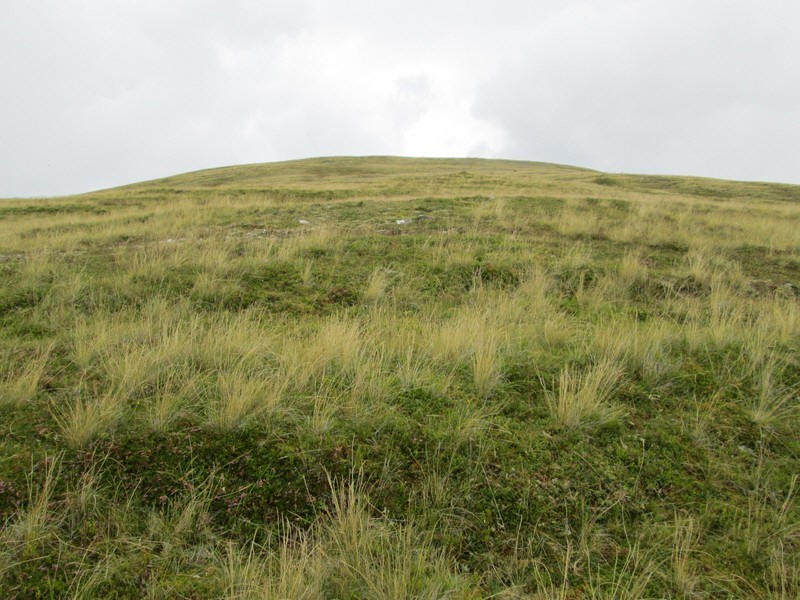
Eventually the slope gradually levels off...

......and in the distance I see a herd of deer. At first they don't notice me but I suspect my camera made a noise and they ran off.
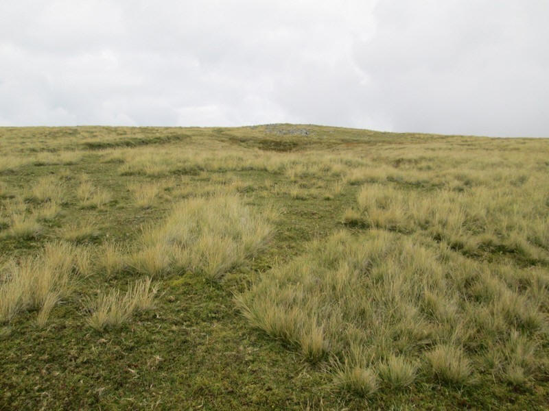
The summit of Meall a' Phubuill is in sight as the ground becomes level. I've had my midge hood on for some time but there's now a slight breeze and it comes off.
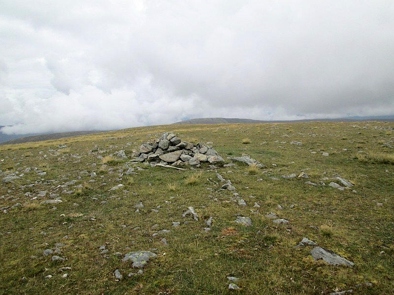
There's a cairn at the summit (774m) but I'm not convinced it's actually the highest point so I wander a little further. The climb from the stalkers' path has taken me has taken me half an hour longer than expected but, given the unpleasant conditions, I'm not too surprised. My main memory of this walk though is the utter and complete silence - no wind, no traffic and away from the stream no running water.
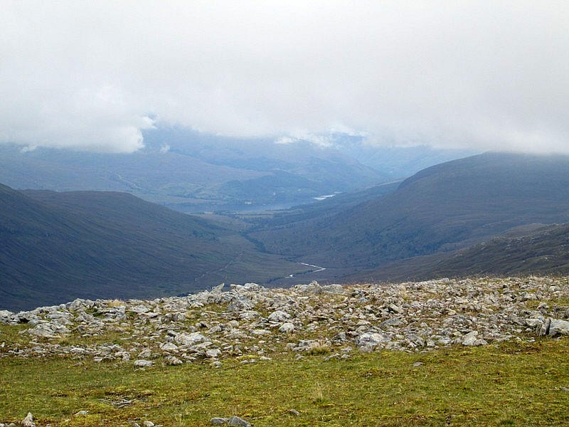
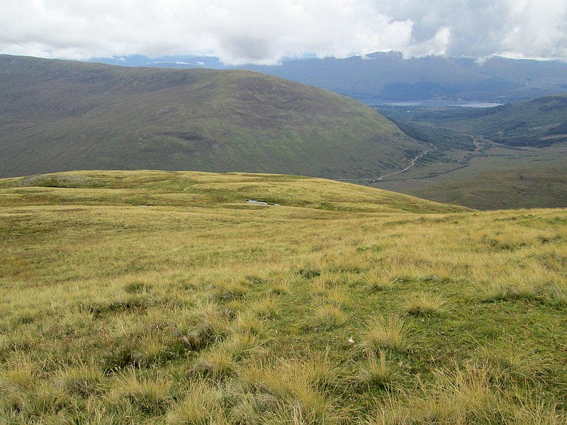
Looking north east down Glen Mallie with the waters if Loch Arkaig visible about seven miles away. Sadly the views are limited because of clod cover. To my surprise two walkers suddenly appeared at the summit from opposite directions. The husband and wife had decided to climb the hill separately and meet at the top! We chatted briefly but the descended together towards Glen Loy.
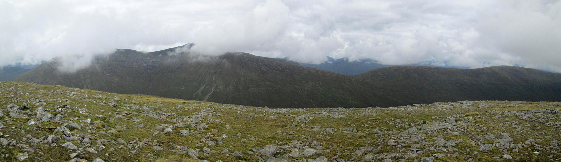
The panorama is across the upper part of Glen Mallie to the Munro Gulvain, which I climbed a few years ago. Click on the image to enlarge.
I took a slightly different route back down the hill passing two very small lochans...
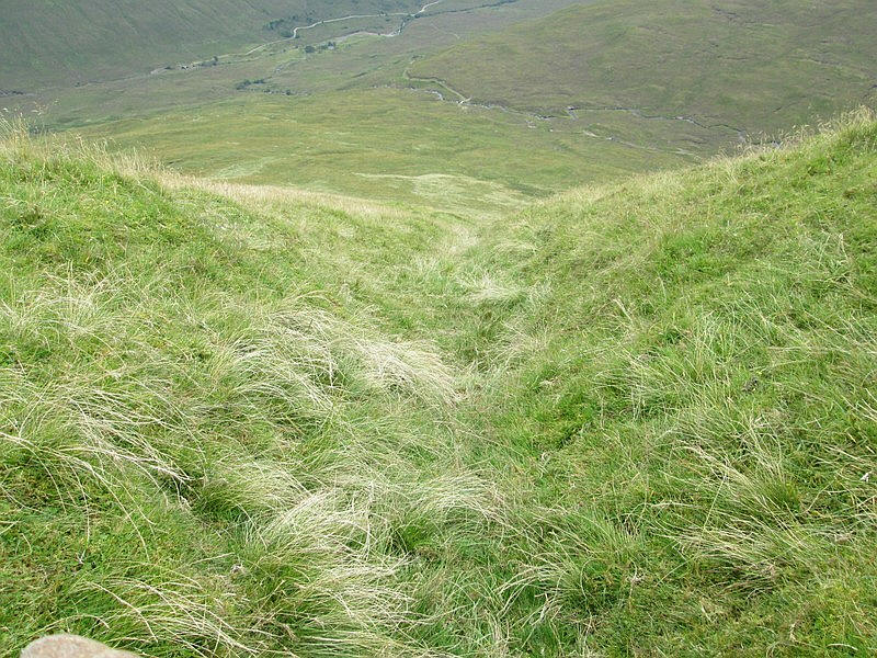
....and then following a depression down what I imagine will be a stream bed in very wet weather.
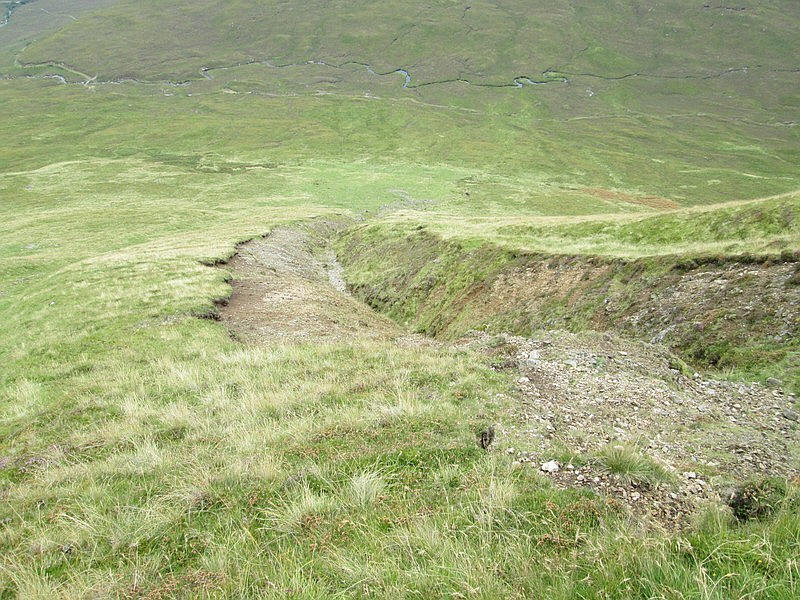
This turned into a very heavily water eroded gully....
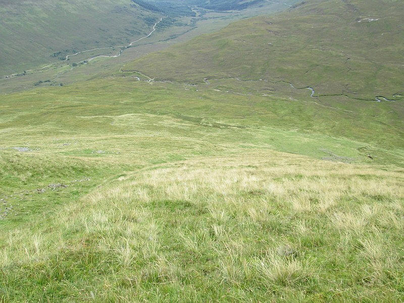
....followed by a long downhill slope. I cut across the hillside to get to the stalkers' path as quickly as possible and some way further up the glen from the bridge.
After crossing the bridge I took a look back at the hill....
....before heading down into the glen where I passed two estate workers on their 4x4 buggy, probably preparing for the stalking season.
The return walk from the summit to the bus stop on the main road near Fassfern took about three hours.