Meall Ghaordaidh
The map shows the GPS track of this walk taken using my SPOT personal tracker
I climbed this hill in late April 2015 and, for a change, I had company for this and two other hill walks that week. My son-in-law Dave suggested we went to some of the hills that aren't easily reached by public transport. During a family holiday in Callander, we headed off up Glen Lochay to the starting point of this climb at Duncroisk. Ours was the only car in the parking area just across the stream bridge - there's space for three or four cars here.
Now, as it happens, this is one of the Munros that I think you could reach without a car. It's about 4 miles from Killin (about one and a half hours walk each way) along quiet roads and, since the climb is easy, it wouldn't be much of a problem walking all the way should you be staying in Killin!
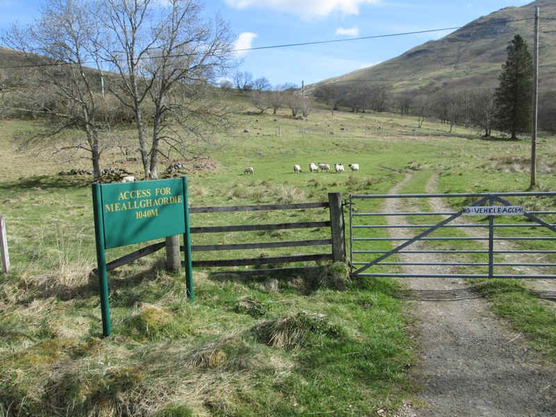
The access to the hill could hardly be better marked...
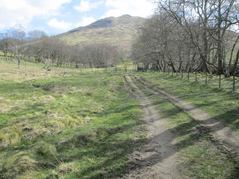
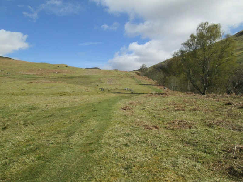
...and a broad track heads off...
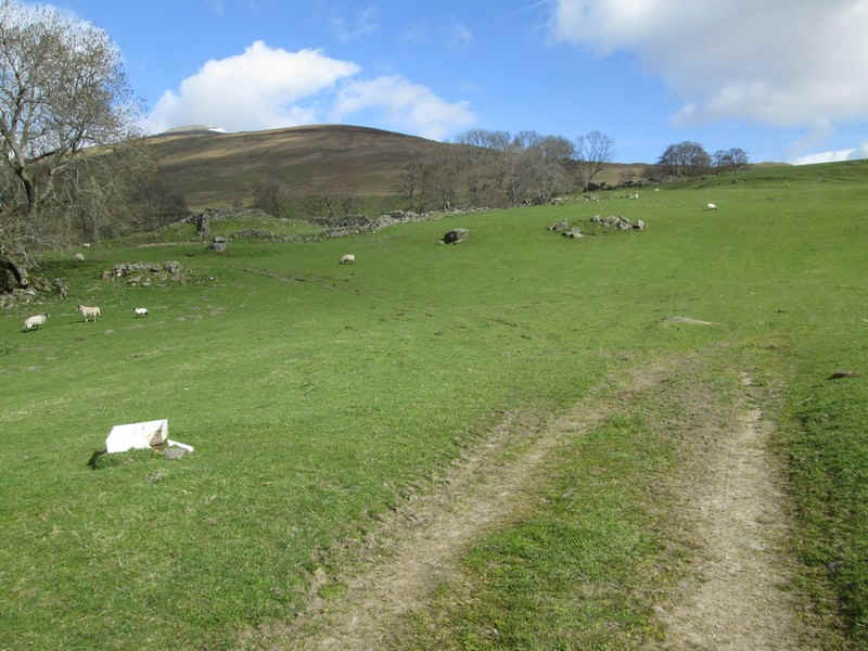
...before petering out in a field. The way forward heads straight uphill....
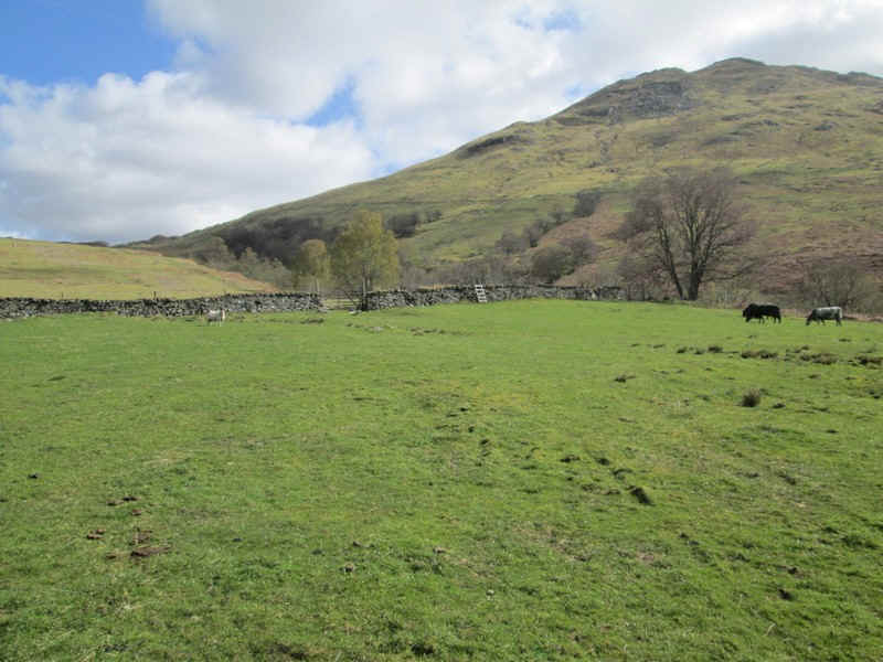
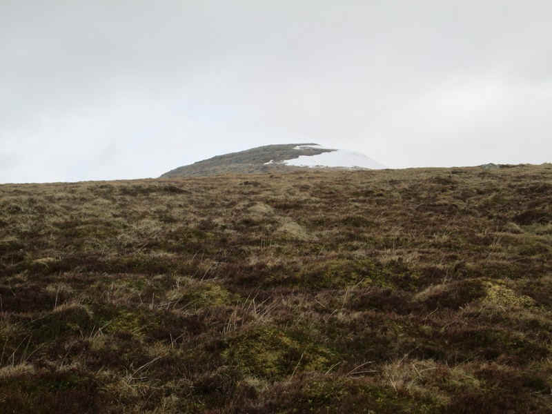
...to a wall with a ladder stile. Ahead is the 745m high Meall Dhùin Croisg.
Beyond the wall the path becomes clear again and follows the Allt Dhùin Croisg stream.
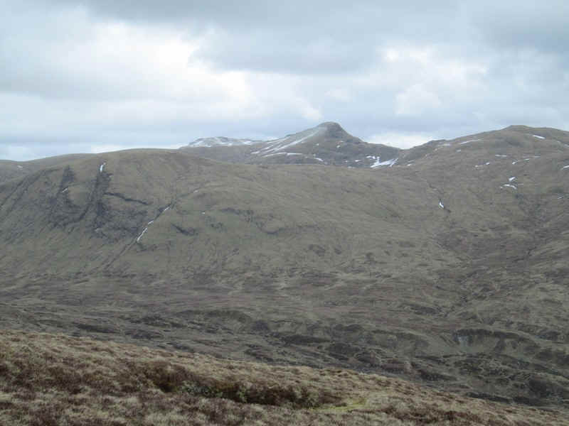
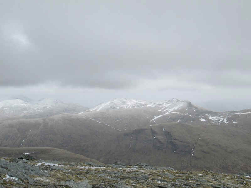
Over to the west is the pointed summit of Creag Mhor (1047m) and to the right Beinn Sheasgarnaich (1078m)
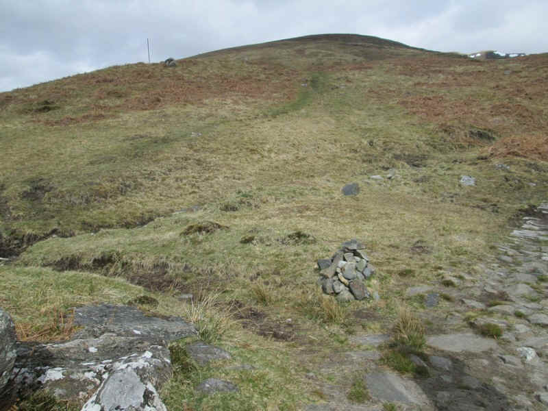
Eventually a cairn is passed and the track up the hill branches off ..
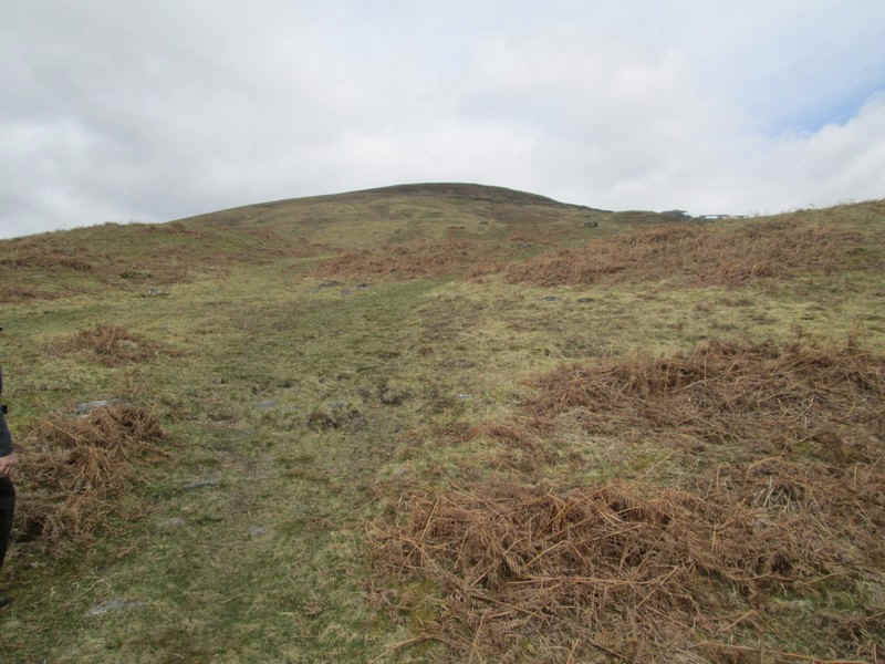
...and continues across grass on a relatively gentle gradient.
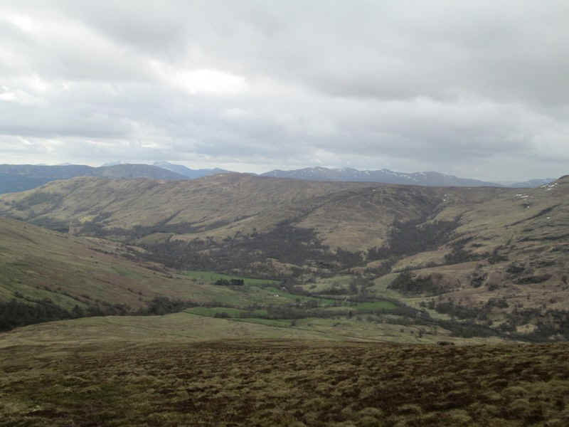
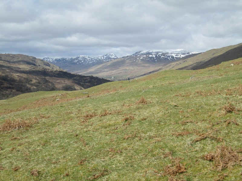
Looking back downhill into Glen Lochay.
There are sections where it could be quite boggy if there had been a lot of rain, but ground conditions on this day were pretty dry.
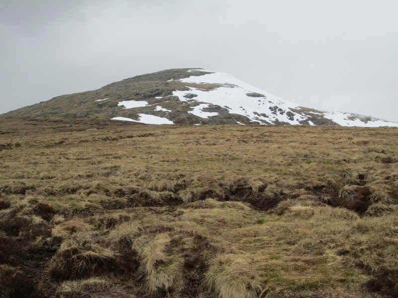
Eventually, the beginning of the summit ridge come into view.
Over to the east is what looks like some glacial deposits down in the valley and beyond the pointed summit of Creag na Caillach at the end of the Tramachan ridge.
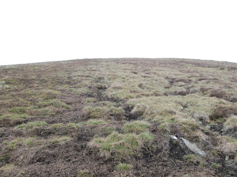
Further up the hill there are some peat hags but, once again, these were remarkably dry.
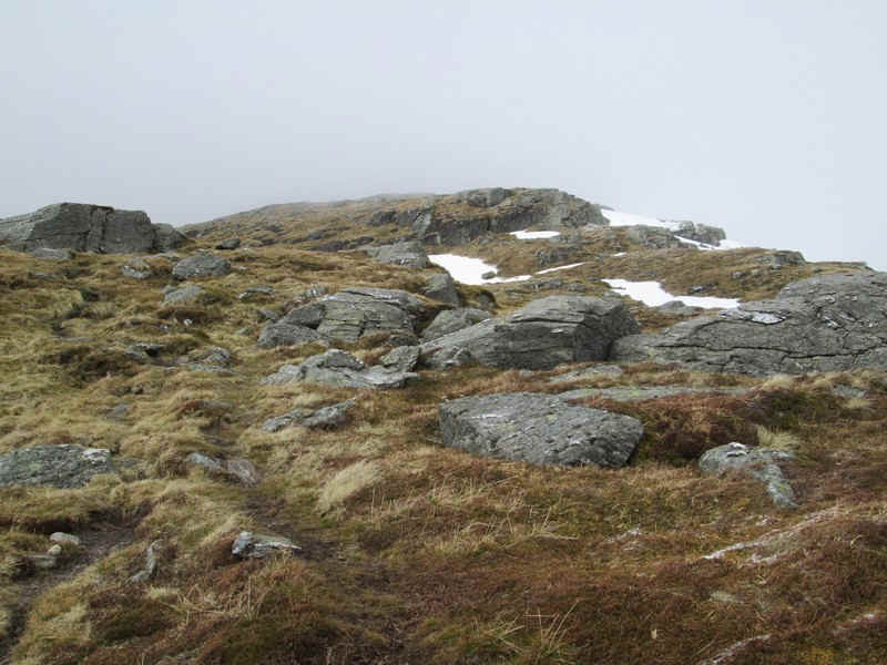
The path leads up through a slightly more rocky area...
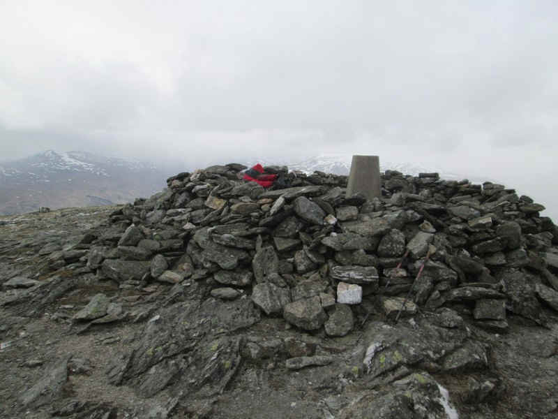
..to reach the trig point and summit shelter of Meall Ghaordaidh at 1039m.
By now the weather had worsened and there were sleet showers and a stronger wind so the shelter was most welcome. We had taken two hours and twenty minutes from the road to the summit, which is exactly the time using Naismith's rule.
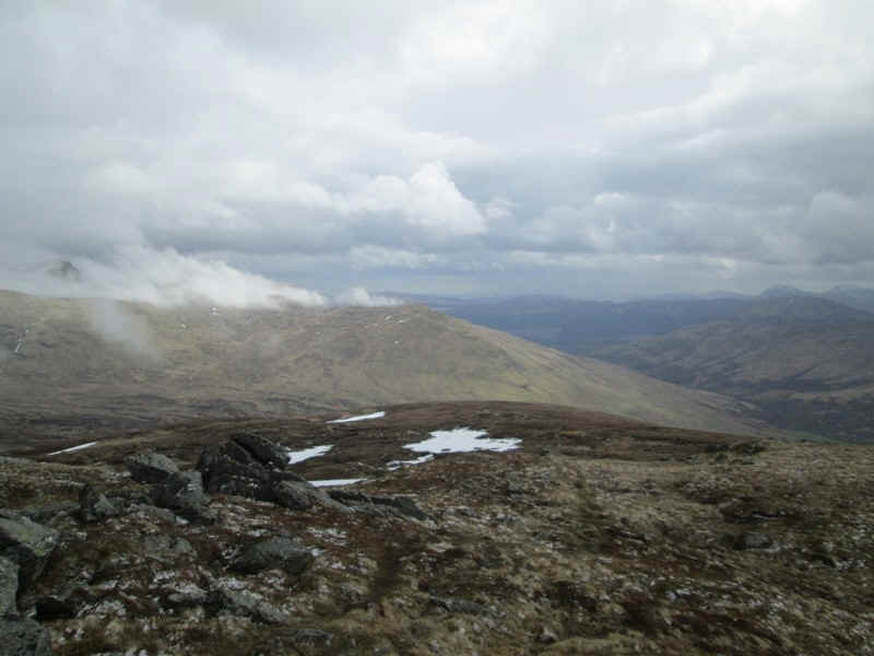
Despite clouding over a little we still had reasonable views from the summit. This is looking back down to Glen Lochay.
Looking across Glen Lochay towards the Munros of Sgiath Chuil and Meall Glas.
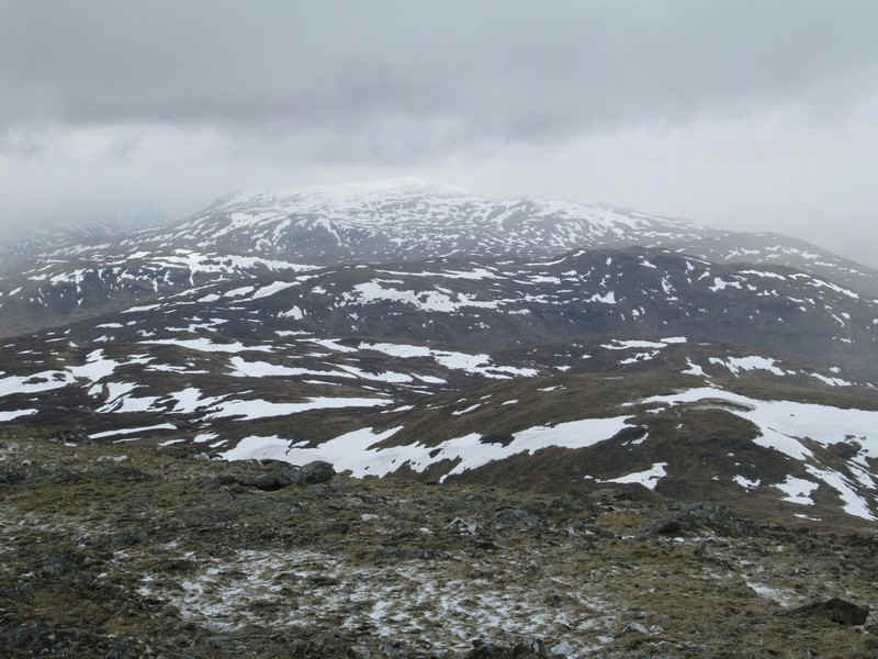
Towards the west is the desolate moorland Beinn Heasgarnaich
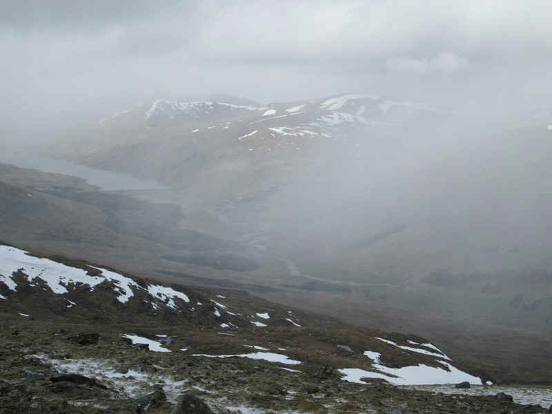
The dam at the end of Loch Lyon was just visible through the mist.
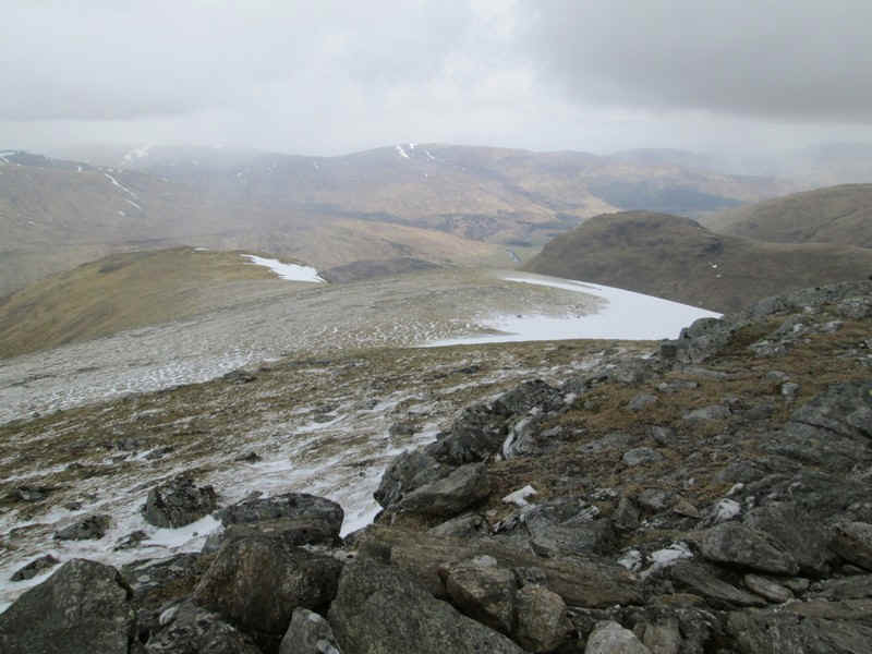
Looking down the ridge into lower Glen Lyon.
The return route was the same as the outward and took about one and a half hours.