Meall nan Tarmachan
This report is unusual for this website because the first time I tried to climb it was in early May 2015 and in winter conditions and I did not reach the summit.
The second time was in October 2015 when I did climb the hill. To read the account of the winter walk continue below. To go to the October walk click here.
The map shows the GPS track of this walk taken using my SPOT personal tracker
The plan for this walk (with my son-in-law Dave) was drawn up in the hope that there wouldn't be too much snow. However, the weather gods decided otherwise and there was quite a significant fall in the days beforehand.
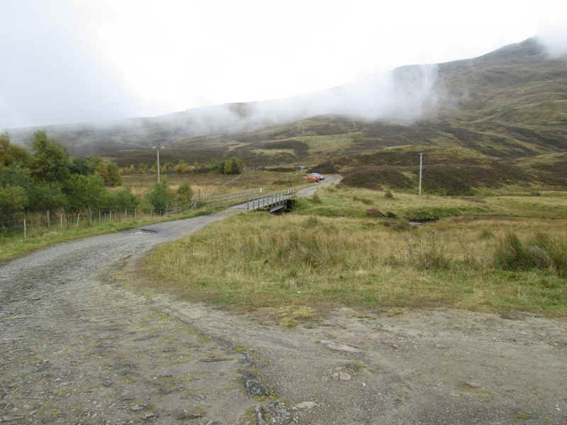
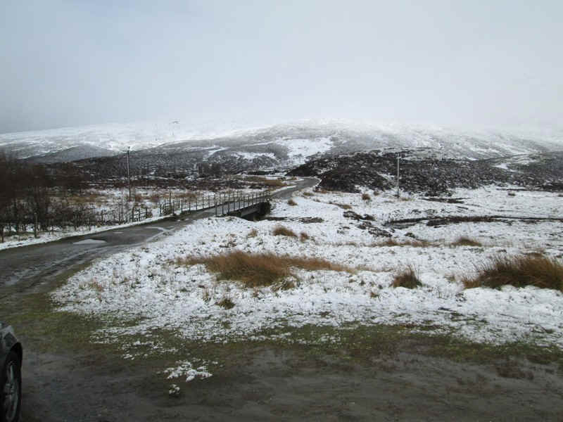
We drove up to the start of the walk just beyond the National Trust car park and set off along the hydro road.
At this stage the weather was overcast with cloud on the hills.
We set off on what proved to be a false track through the heather and spent about a quarter of an hour finding our way across onto the main track. We should have carried on further along the hydro road to about NN589373 where the clear path starts.
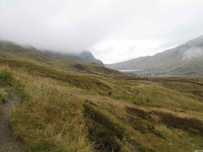
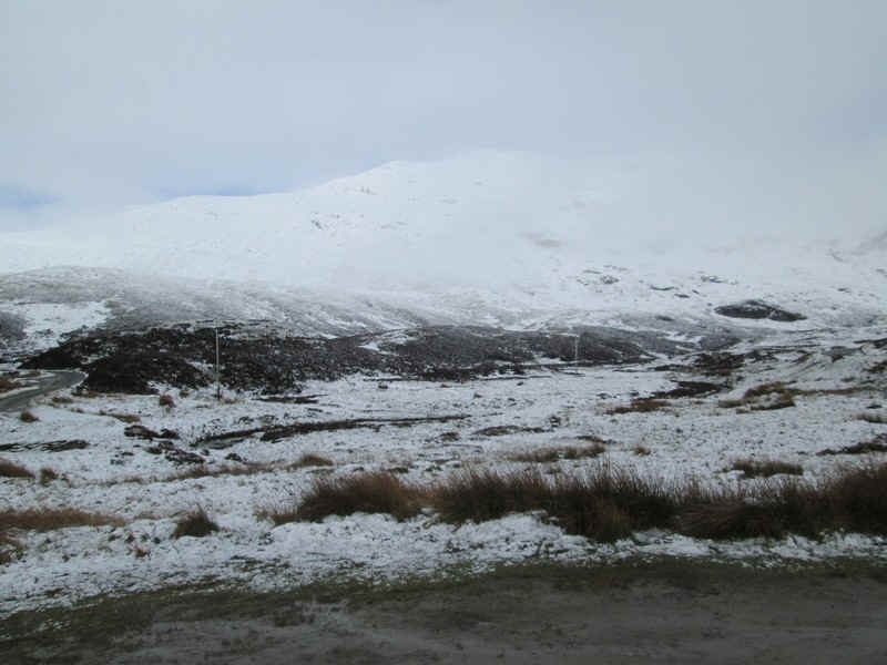
However, the view of the dam at Lochan na Lairige, and the increasing amount of blue sky, promised a good day.
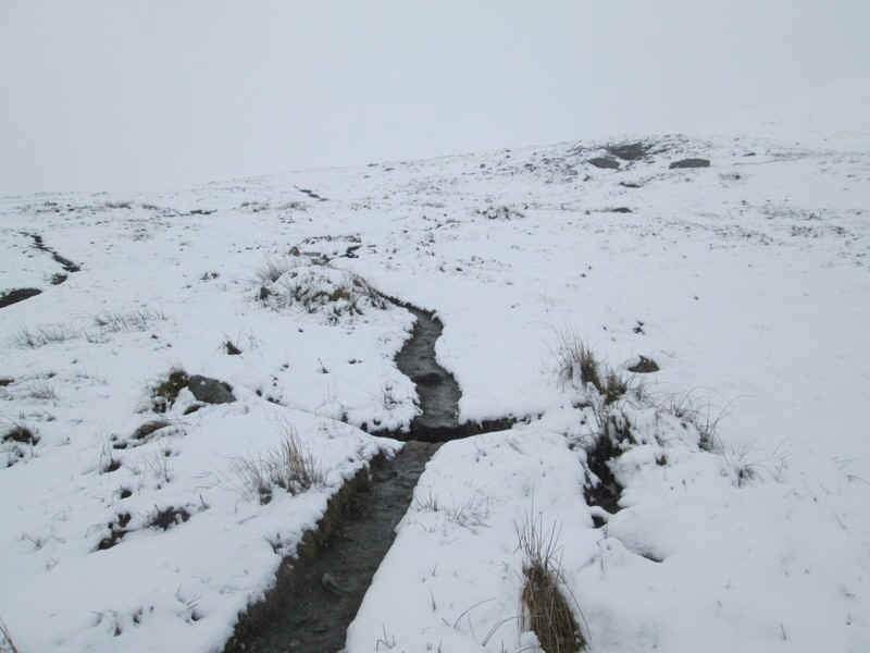
We soon found the well constructed path which we followed until it disappeared under the snow much further up the hill.
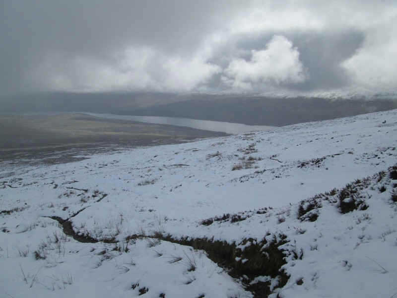
The view looking back down across Loch Tay....
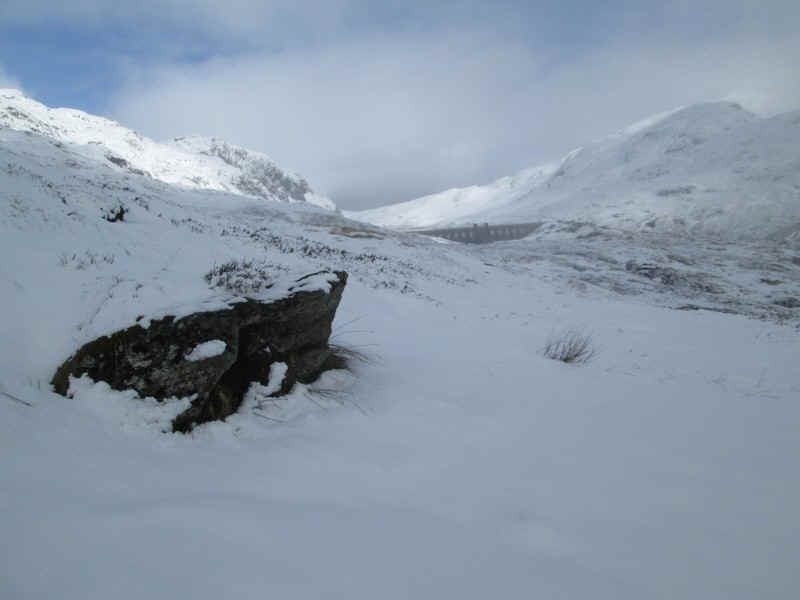
...and across to the dam.
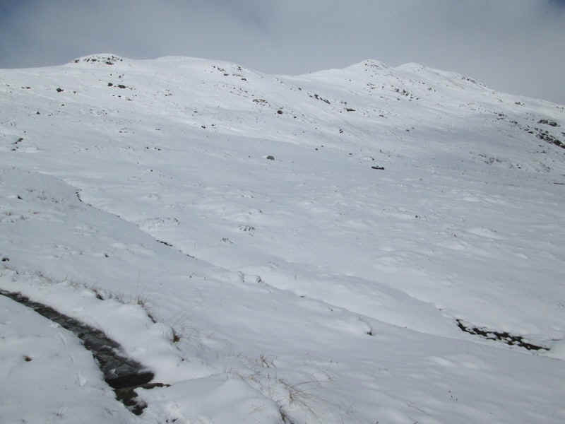
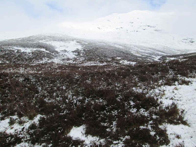
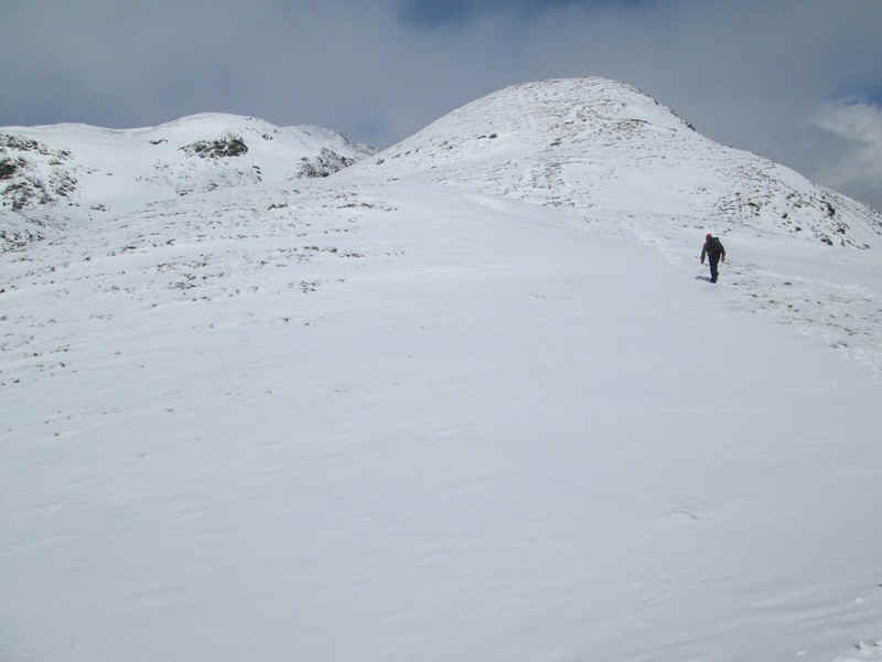
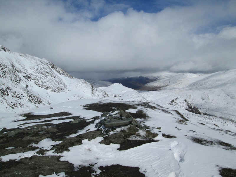
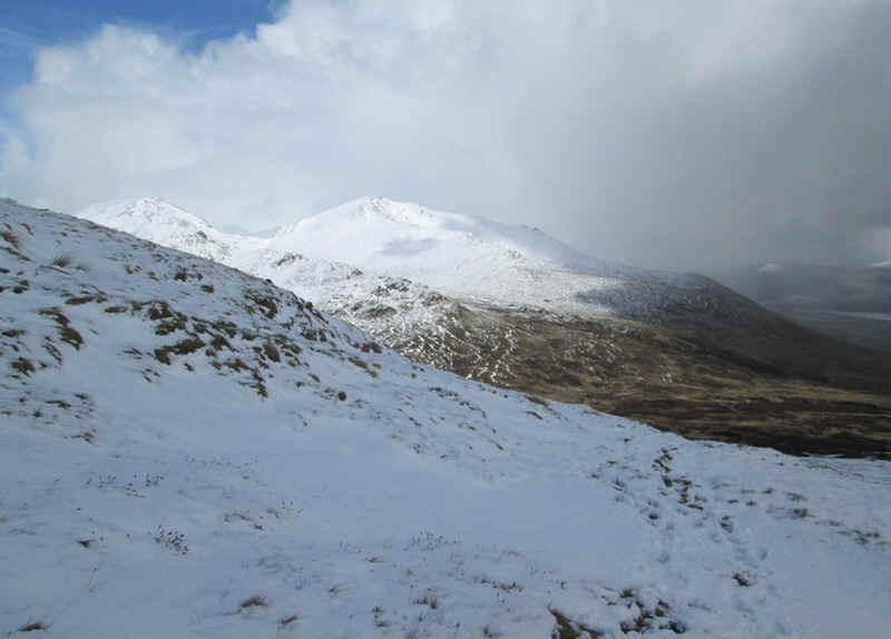
The way ahead heads for the main ridge and the blip on the skyline which is the 923m spot height. At this stage Meall nan Tarmachan isn't visible.
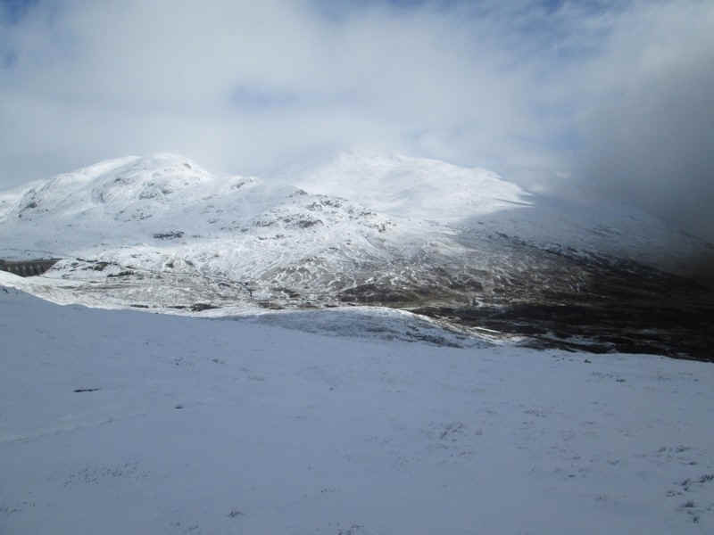
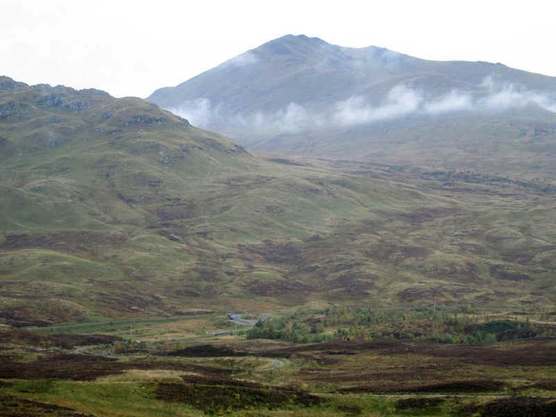
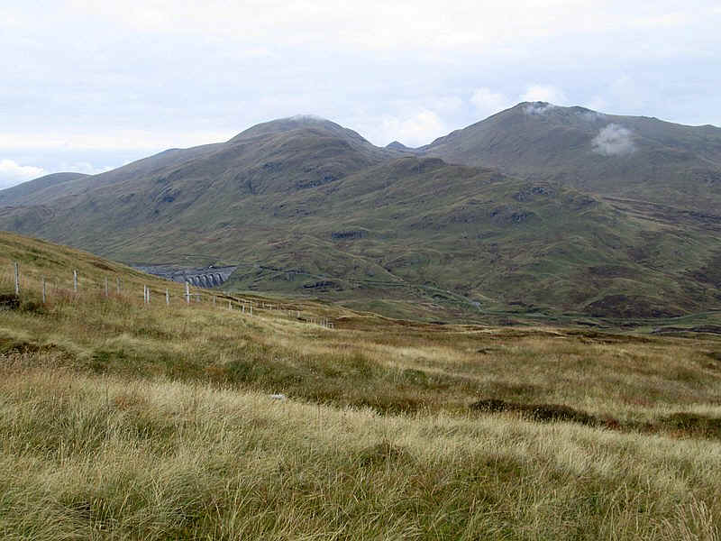
All day we were treated to stunning views with the sun break through the clouds. Across the valley are Meall Corranaich on the left and Beinn Ghlas and Ben Lawers in the centre.
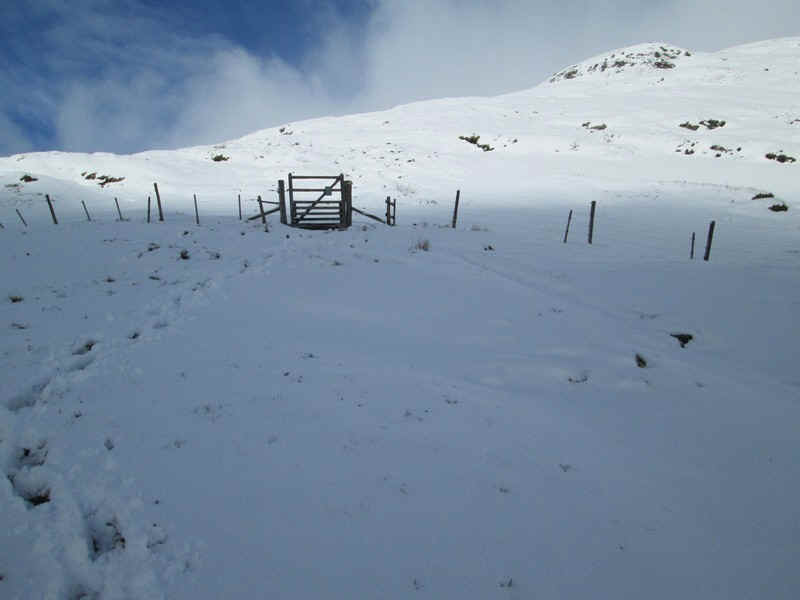
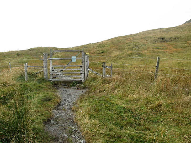
After a short while the deer fence is reached and it was here that the snow became deep enough to hide the path. We met two other walkers who told us that snow conditions higher up were unstable and that they hadn't been able to reach the summit.
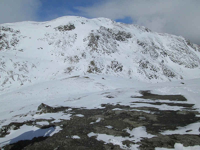
Across to the west are the cliffs of Meall Garbh and the Tramachan ridge.
Another view looking back to the Killin end of Loch Tay.
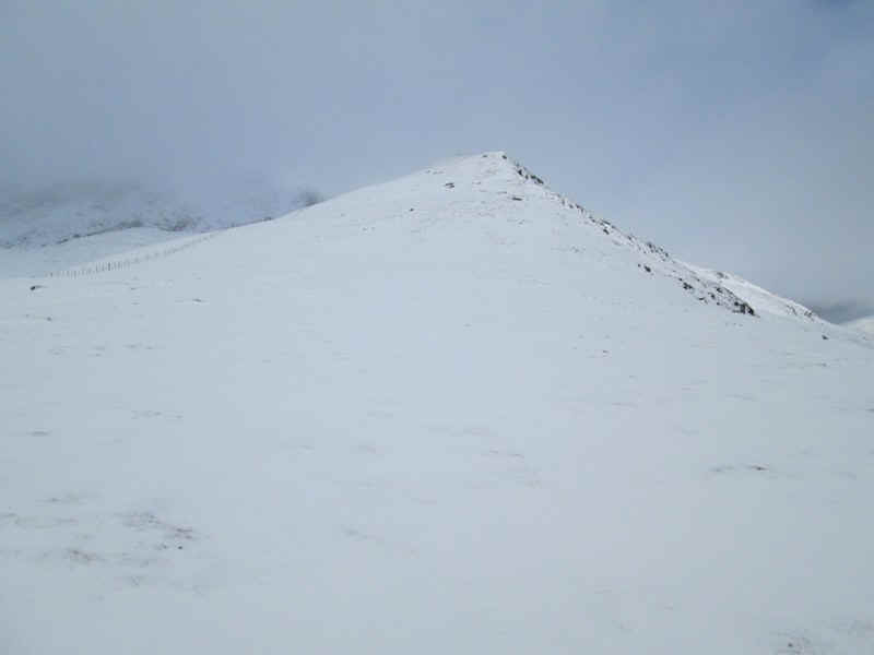
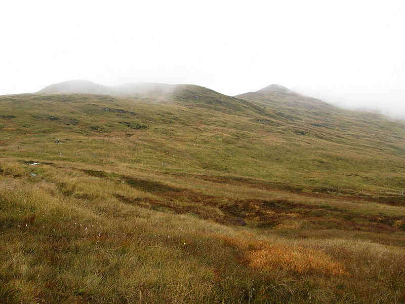
As we climbed towards the 923m the actual summit of Meall nan Tarmachan was still under cloud.
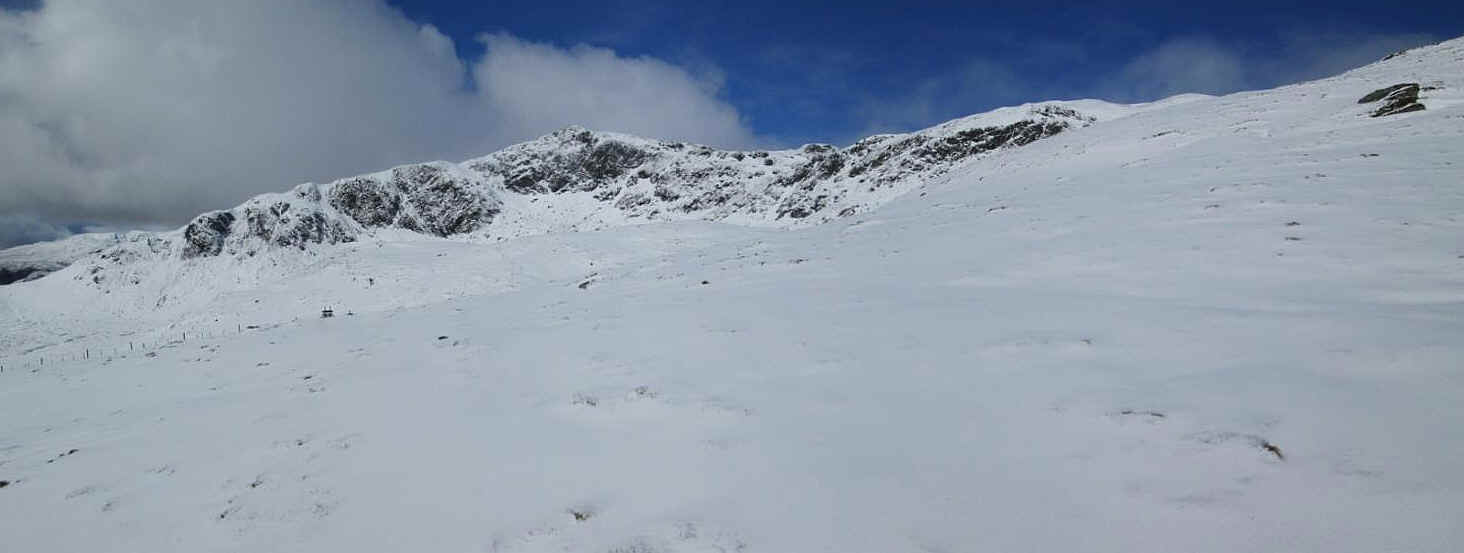
Click on the image above of the Tarmachan ridge to see a larger photo.
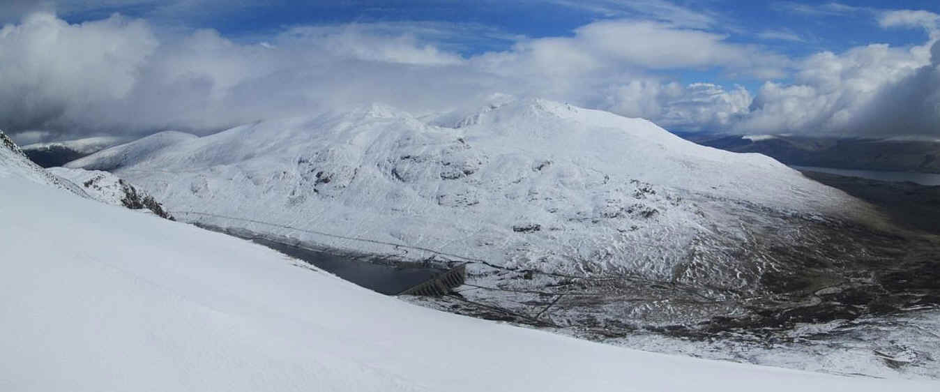
Another clickable panorama was taken a bit higher up and shows the reservoir as well as the Ben Lawers hills.
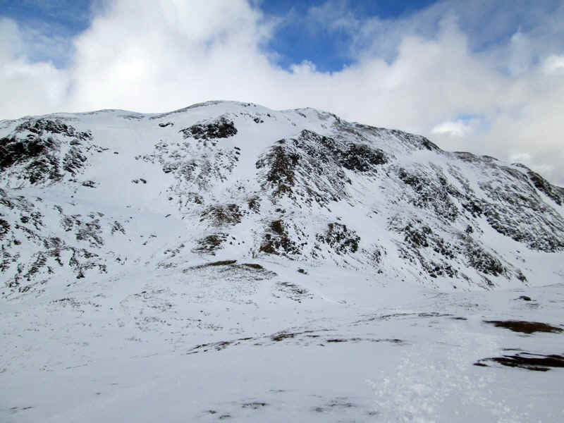
At last we could see the summit over to the left.
The 923m spot height has a small cairn and the wind had blown away most of the snow,
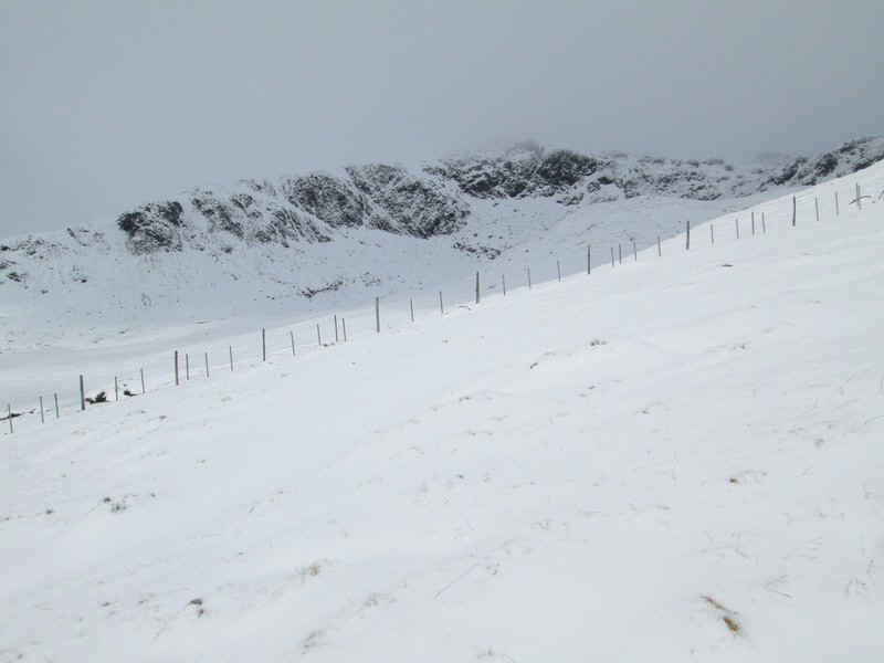
The path now drops down about 40 metres to a col....
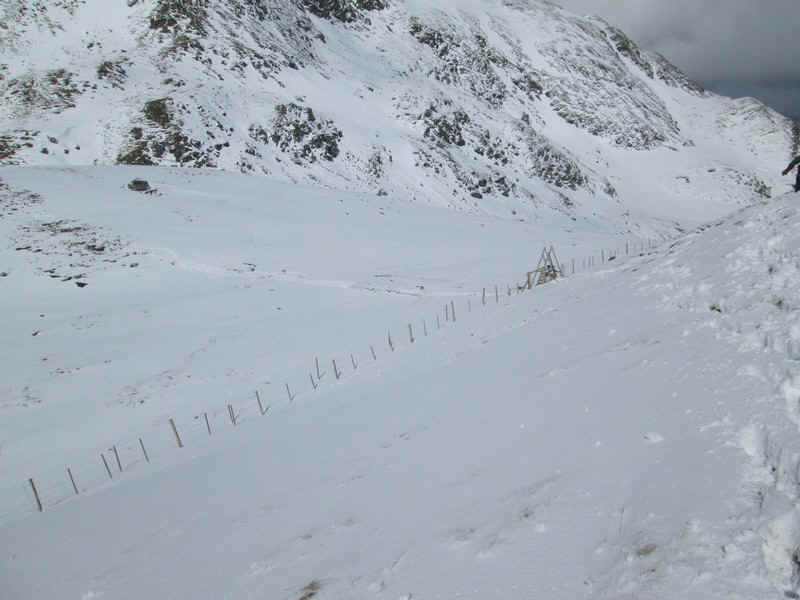
...where there is a stile over the deer fence.
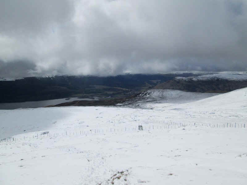
At this stage we decided to have a lunch break and see if we felt it wise to go on. Not having full winter gear and having heard the comments of the walkers earlier we decided to go no further, but at least we had reached the 3000 feet Munro height! Instead we enjoyed the view.
The walk down showed just how unstable the snow had become especially as temperatures had crept above zero and in many places the snow simply slid under our feet across the grass. That's not a problem on a gentle slope but higher up would have been less pleasant.
No doubt I shall return to climb Meall nan Tramachan.
This
My walk in October was much more successful,
although the hills looked less dramatic. The drive from Pitlochry to the parking
area at the beginning of the walk was enlivened by quite thick mist along the
shores of Loch Tay but, as I drove uphill, the view suddenly cleared and for the
rest of the day the clouds thinned out and eventually almost cleared giving good
views. The start of the walk is along the hydro road
and this time I had no difficulty finding the cairn at the start of the walk. A look back as I climbed uphill shows Beinn
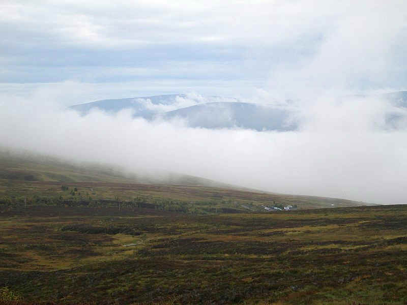
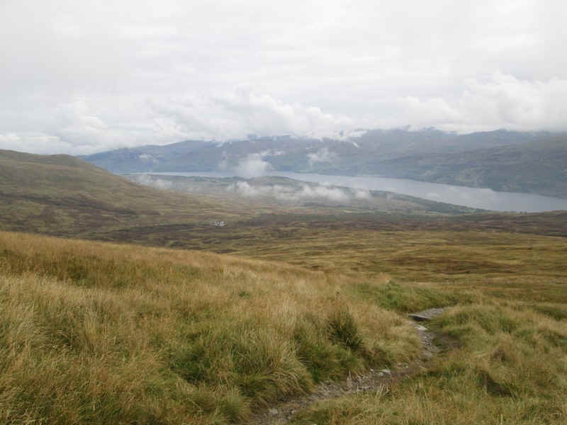
Ghlas (1103m) and Ben Lawers (1214m) on the right now virtually free of cloud. It's an easy walk uphill through the heather... ....and a glance back shows the inversion fog
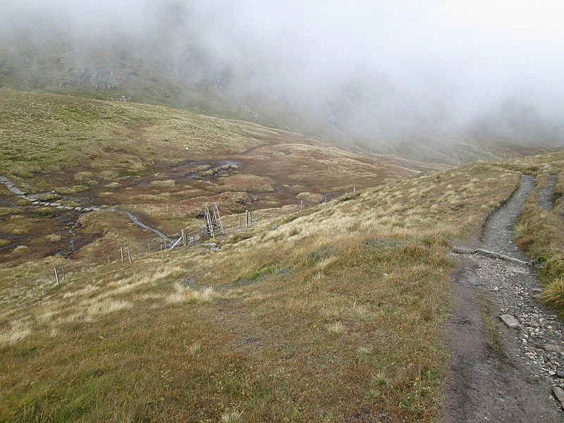
is still filling the glen with Loch Tay hidden underneath. The dam of the Lochan na Lairige is over to the
right... ...and there's still a lot of mist but the
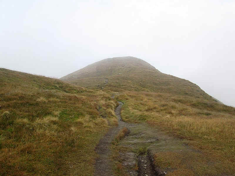
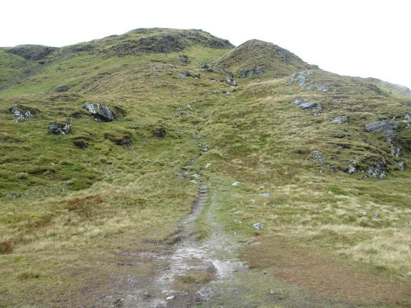
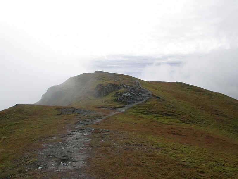
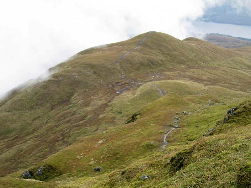
first summit at 923m is clear. The gate at the deer fence marks the proper
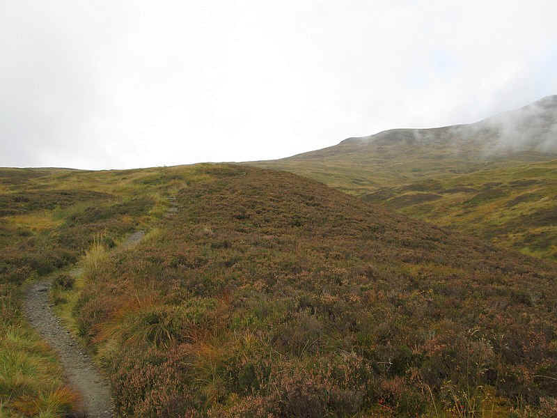
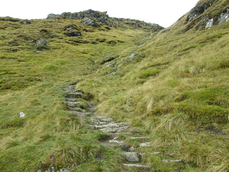
start of the walk up the hill..... The path continues uphill quite gently.... ...until it steepens slightly up the dome of
the south east top. The top is marked by a small pile of stones... ...and then it's a drop down to another deer
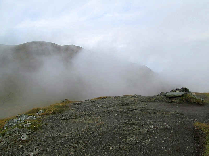
fence stile. The mist was still swirling about at this stage
so some of these photos were actually taken on my descent when the mist had
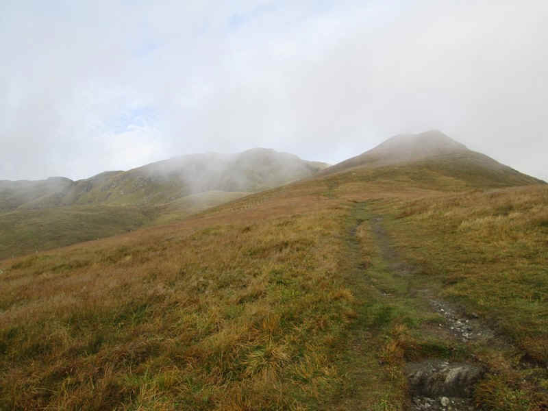
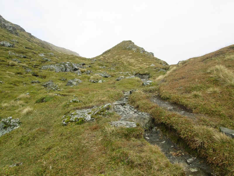
lifted. In this photo the path crosses the bealach and starts to twist uphill to
the main summit. This is quite a steep section and in May the snow conditions here made it feel prudent to turn back. No such problems
today and I was... ..soon climbing up the pitched paving... ...before reaching a slightly less steep
section which leads up to the main ridge... ...just north of the summit. Here the path
turns sharp left.... ...to run along the ridge for a few hundred
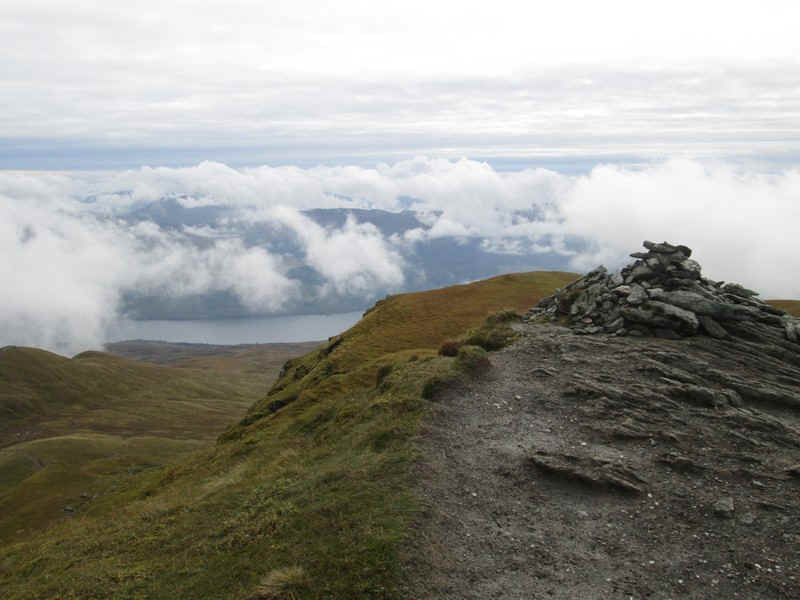
metres to... ...reach the cairn at the summit of Meall nan
Tarmachan (1044). It had taken me exactly two fours for the walk up from the
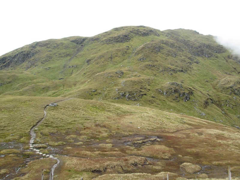
parking area. Beyond the summit the path continues towards
the Tarmachan Ridge. I had intended to extend the walk along the ridge but the
previous week I'd managed to slightly injure my right foot and, whilst it had
given me trouble so far, I decided not to walk any further. I particularly
wanted to climb Schiehallion the next day and saw no reason to tempt fate. For
once Munro bagging was the objective and I didn't need to go any further. Sitting at the summit munching my salmon
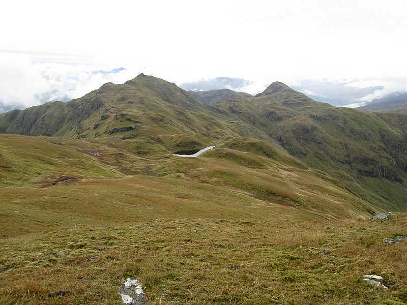
sandwiches the clouds gradually cleared the hill tops and I was rewarded with
this marvellous view of the ridge and the two summits of Meall Garbh on the left
and the conical shaped Beinn nan Eachan on the right. On the return walk I chatted with a member of
the Killin Mountain Rescue Team who was acting as a marshall for a hill race.
Knowing that the runners had already set off from the road I decided I wanted to
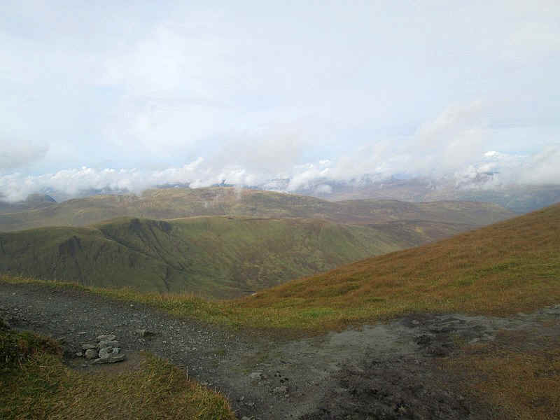
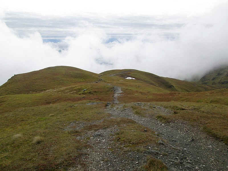
be beyond the 923m summit before I met them. This is the view looking downhill
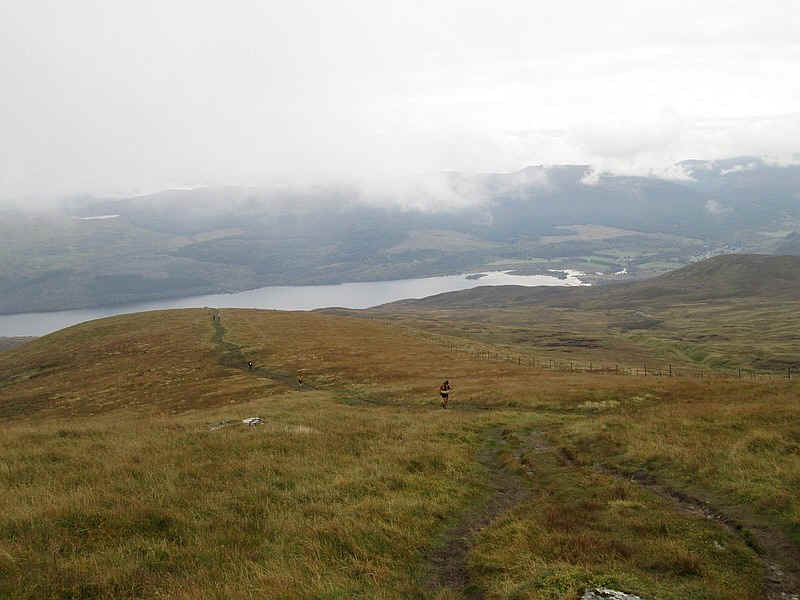
from just below the summit and shows the path back to the south east top. I started to meet the runners just beyond the
923m top - there were about 75 of them so I decided to walk down the grass
rather than on the path. They ran past with a surprising number having enough
breath to speak to me. In this view some of the stragglers are on their way up.
The view is of Loch Tay with Killin at the head of the loch. Nearing the end of the walk the eastern end of
the loch was now clear of cloud.