Morrone
Click on the square in the top left hand corner to see a larger map.
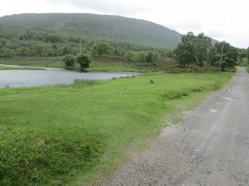
What, under normal circumstances, would have been an easy walk from Braemar to the summit of the Corbett Morrone became much more interesting as "Storm Hector" was crossing Scotland on this day in June 2018. This is the small lake on the outskirts of the village known as The Duck Pond.
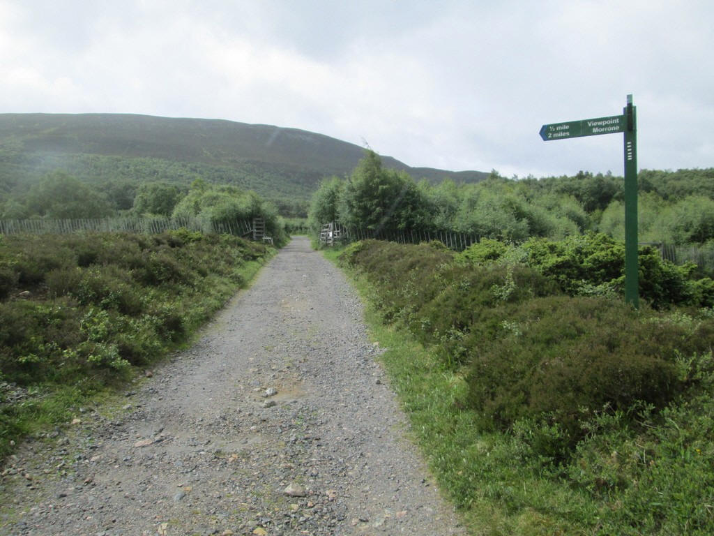
The track heads through a deer fence into....
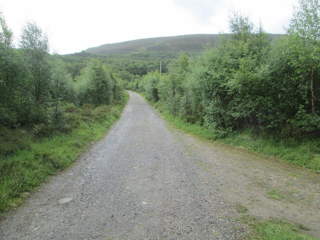
...woods with the end of Morrone's ridge now in view.
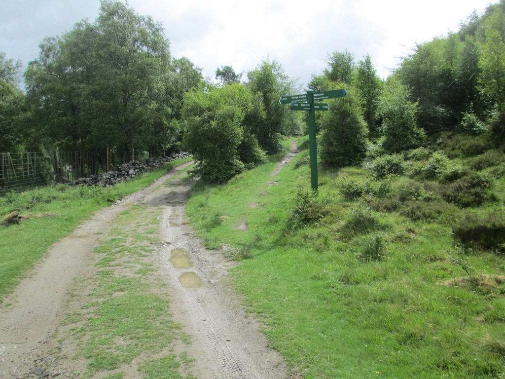
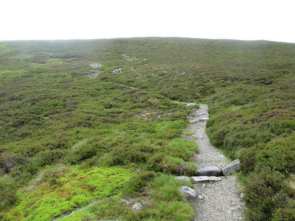
After passing the buildings at Tomintoul a path heads uphill...
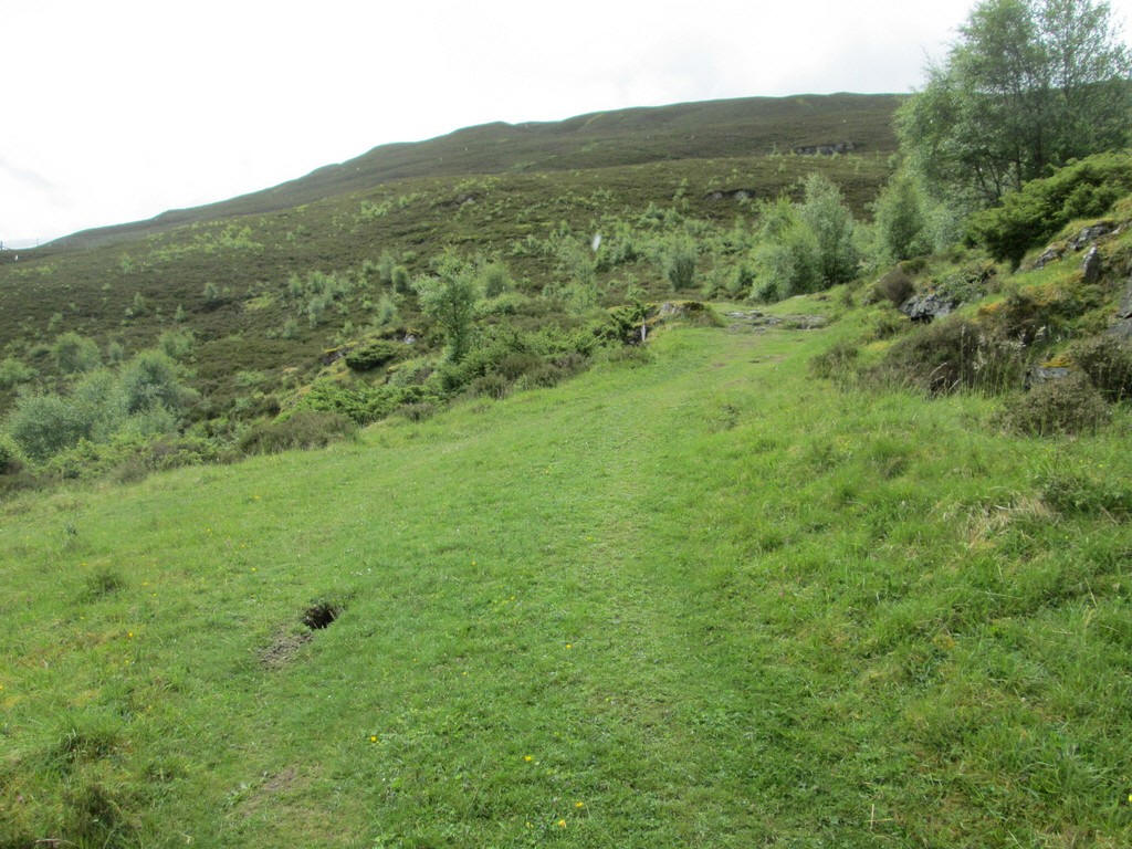
...and onto the grass and heather covered slopes.
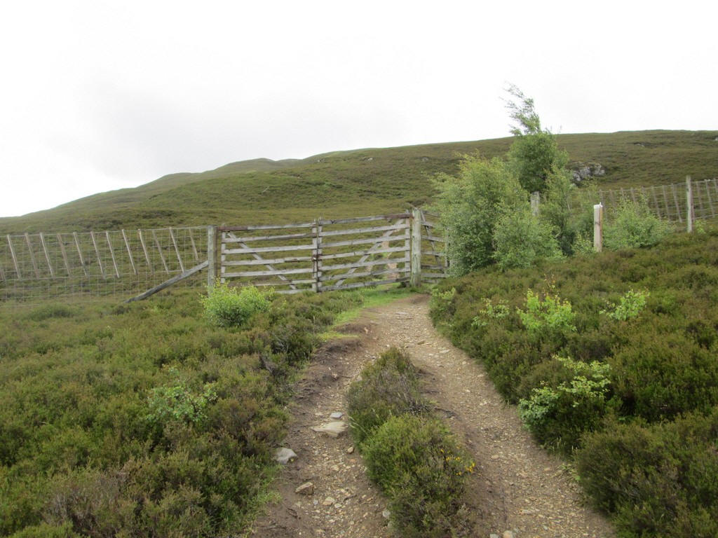
There's another deer fence to cross...
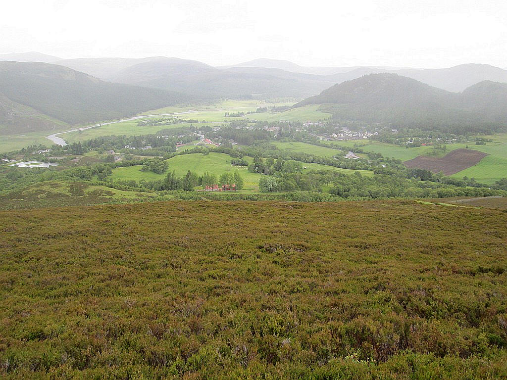
...and a look back shows Braemar village under poor light conditions.
Across the River Dee is the Corbett, Carn na Drochaide which I would climb the next day.
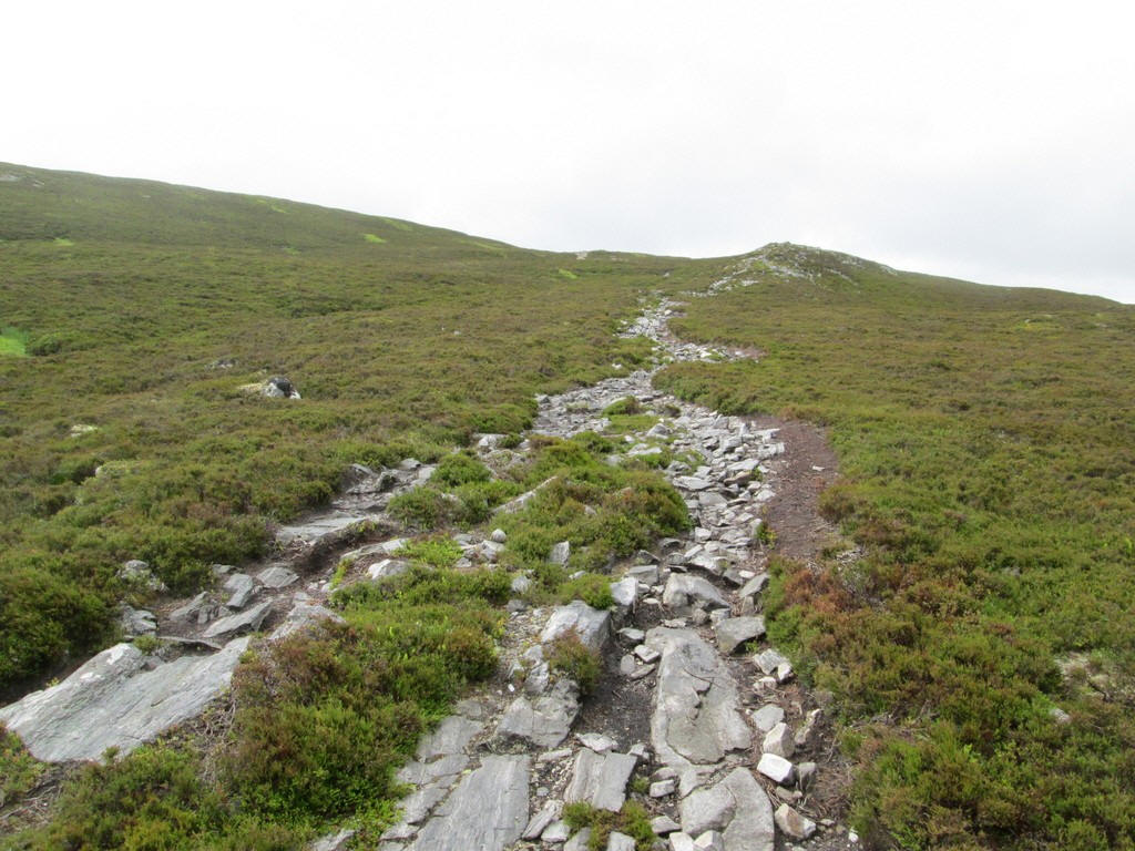
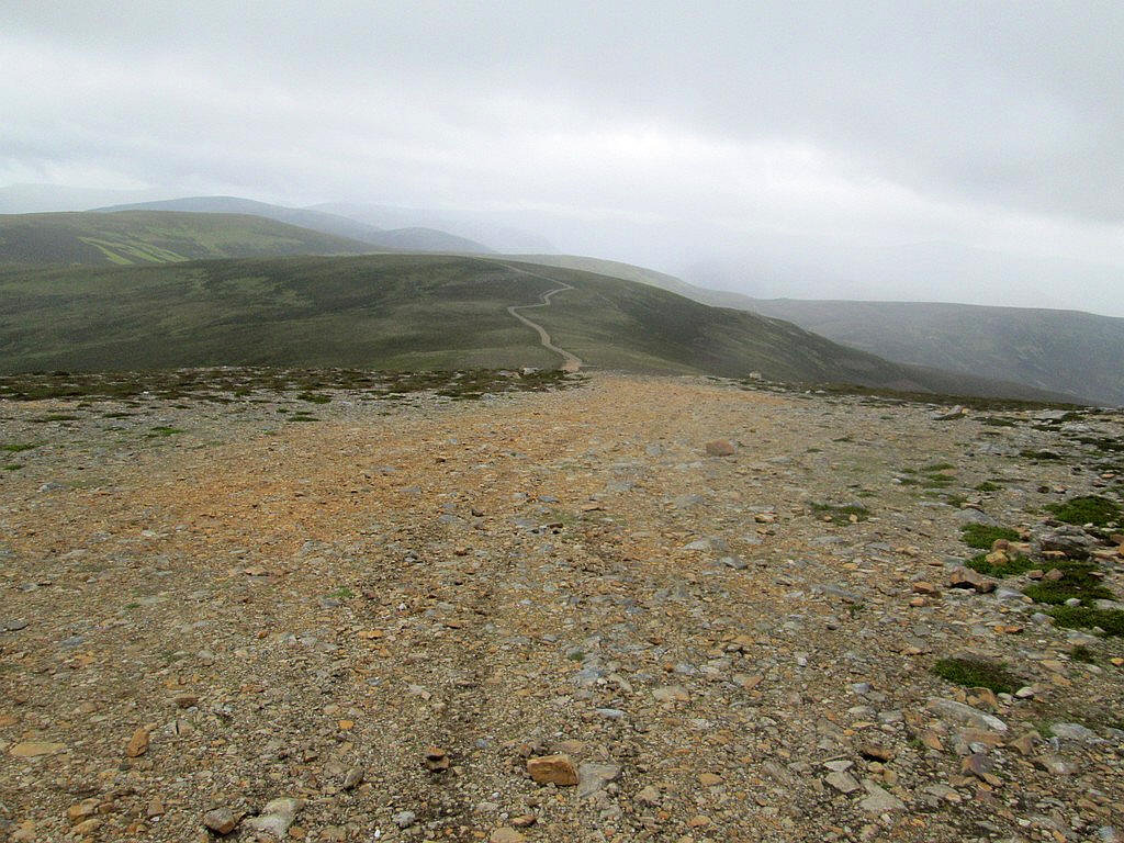
The broad path heads uphill across stones and heather...
..and is easily graded.
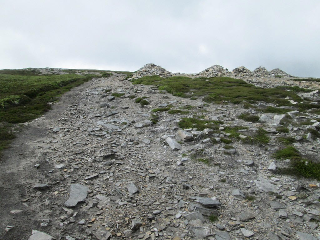
These 5 cairns are the turning point of the Morrone Hill Race that is part of the Braemar Games.
Just beyond the cairns the radio mast on the top of Morrone comes into view , about a mile away.
Up to this point the wind hadn't been too much of a problem but, once on the top of the hill, its speed increased considerably. On Cairngorm at this time the maximum speed recorded was over 40 mph and I suspect it wasn't a lot less here. To guard against the risk of being blown over on the stone path I walked on the tundra like grassy area.
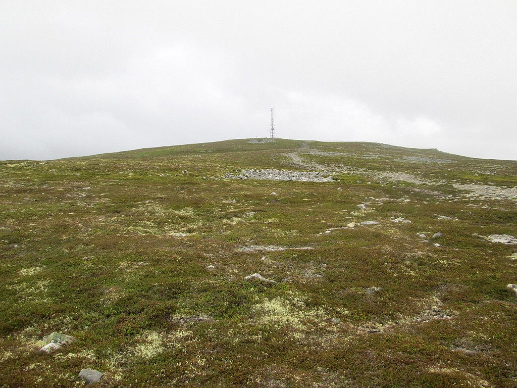
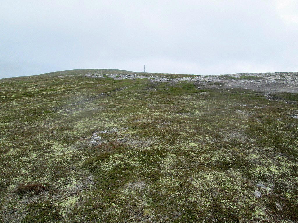
The radio mast still seems a long way away but I was reasonably confident that I would make the summit. Earlier I'd met another walker who had turned back, although he hadn't got treking poles to help brace against the gusts.

Eventually, I reached the summit and got out of the wind behind the buildings to have lunch. The din of the wind blowing through the mast and making it vibrate was considerable.
My original plan had been to return on the vehicle track down to Glen Clunie and follow the Old Military Road back to Braemar. Not surprisingly, the wind was gusting over the coll just below the summit at a much higher speed and, even using my poles, it was almost impossible to make any progress and I felt I was in danger of being blown off my feet. The return to Braemar was made back down the outward path.
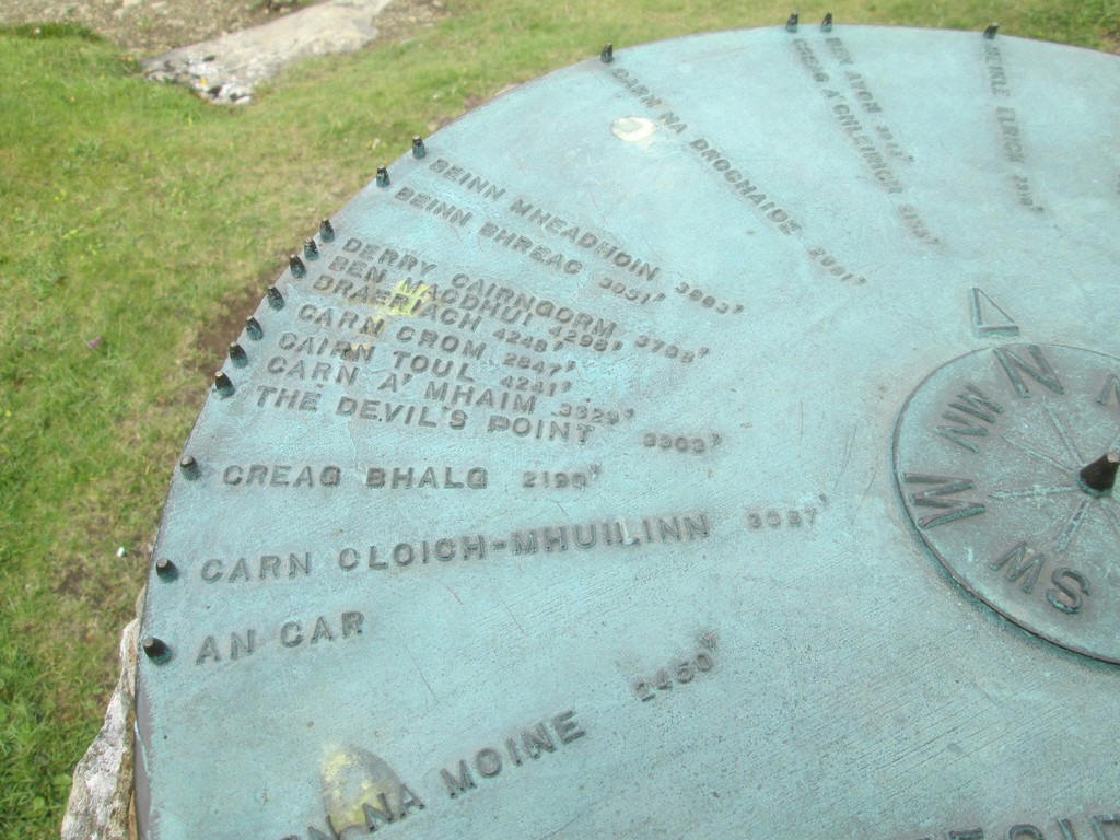
Just before leaving the woods at Tomintoul there is a viewpoint with a marker table. It has metal cones inserted into the centre and along the edge so it is possible to line them up and see exactly which hill you are looking at.
Below is a photo and a panorma diagram looking north west.
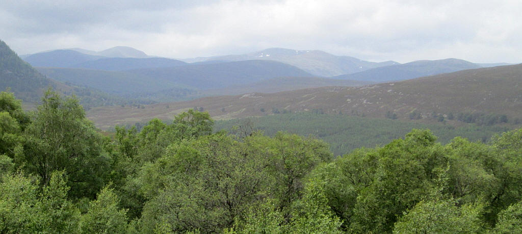
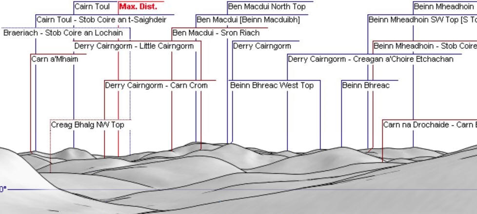
The photo shows that, despite the cloud cover the Cairngorms, Braeriach, Cairn Toul, Ben Macdui, Derry Cairngorm, Beinn Bhreac and Beinn Mheadhoin are all visible.
The link below will take you to the panorama generting website.
http://www.udeuschle.selfhost.pro/panoramas/makepanoramas_en.htm