Mount Keen
For my fourth walk in June 2015 when I was based in Braemar I decided to climb Mount Keen using the Glen Tanar route from the car park at Glen Tanar house. I'd originally considered clinbing this hill by walking from Ballater so that I could use the Aberdeen to Braemar bus for the route via House of Glenmuick and the Mounth Path. The distances for both routes are virtually the same although the Ballater and Mounth Path route does have more ascent and descent.
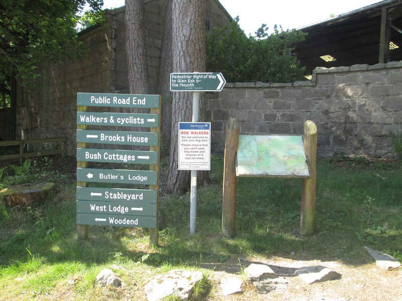
The signs at the car park leave walkers in no doubt which route to take...
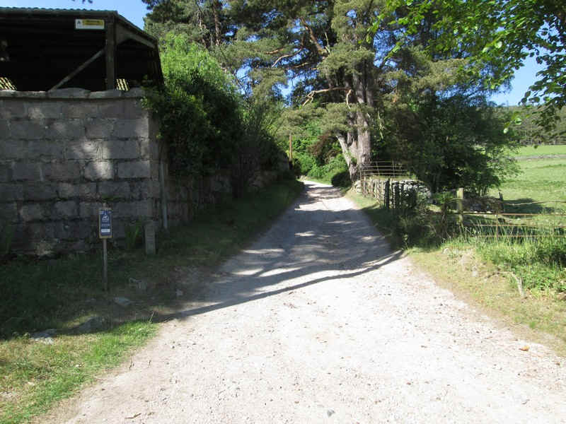
..as the way forward goes up a lane and past...
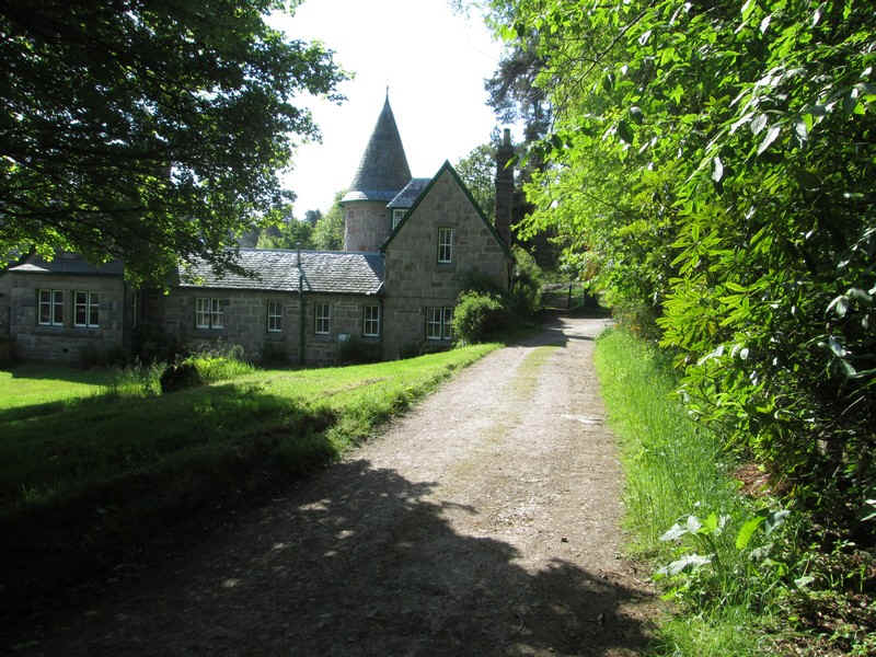
...a turreted building.
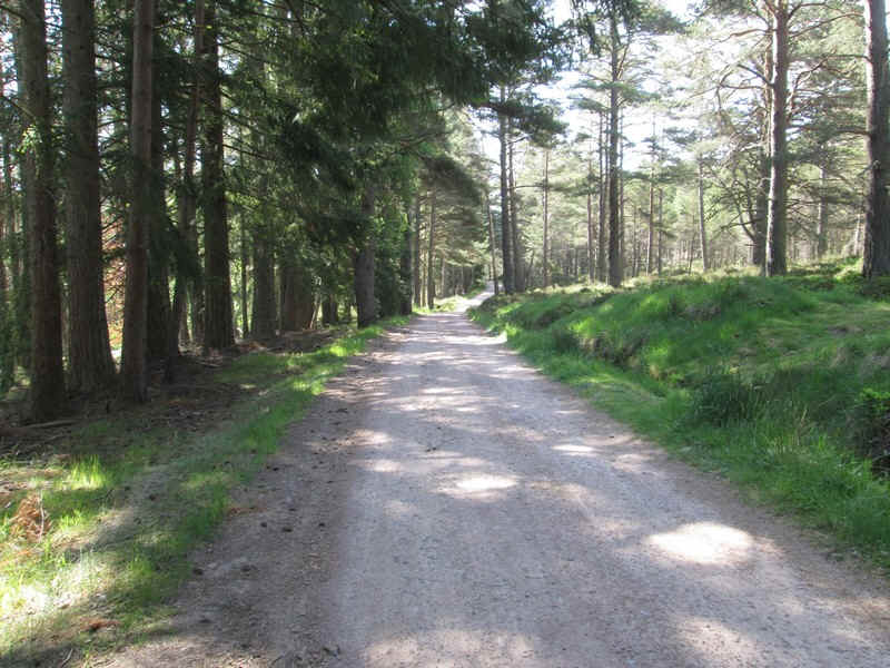
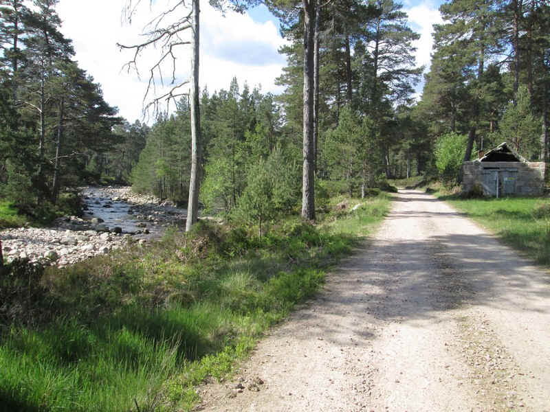
Once clear of the various farm and saw mill buildings the main track up Glen Tanar starts..
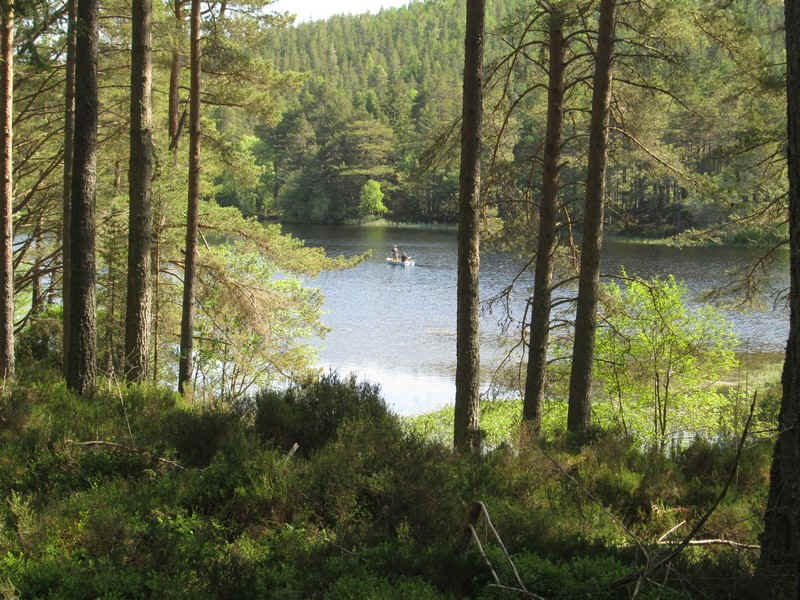
...first passing the small lake which had several fishermen on boats.
The next few miles are through the woods and on a good day like this the walk was very pleasant.
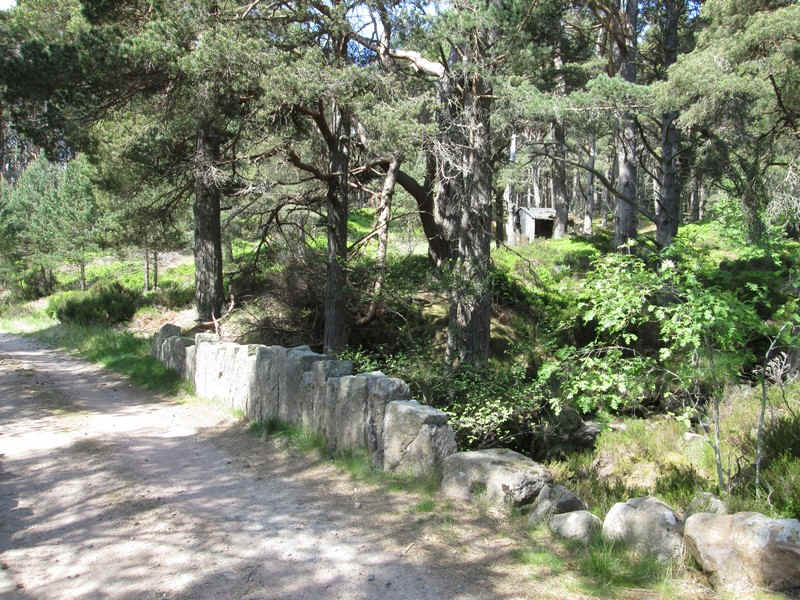
There are a few landmarks such as this bridge and ...
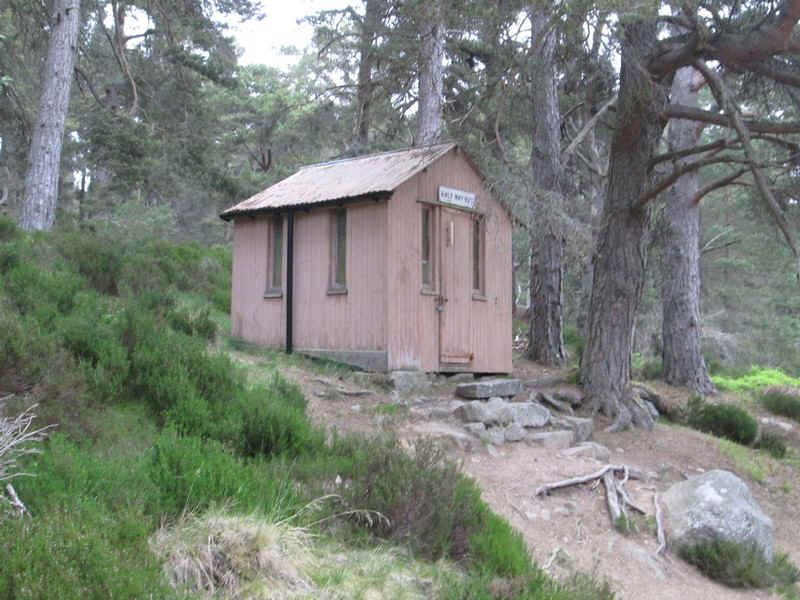
...a hut marked "Half Way House".
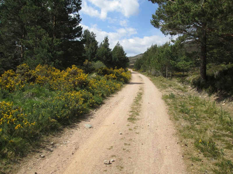
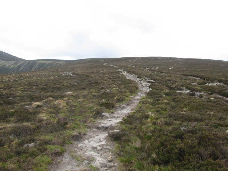
Eventually after about four miles the woods start to thin and are replaced by gorse.
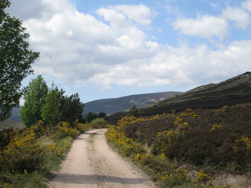
The hills towards the head of the glen come into view..
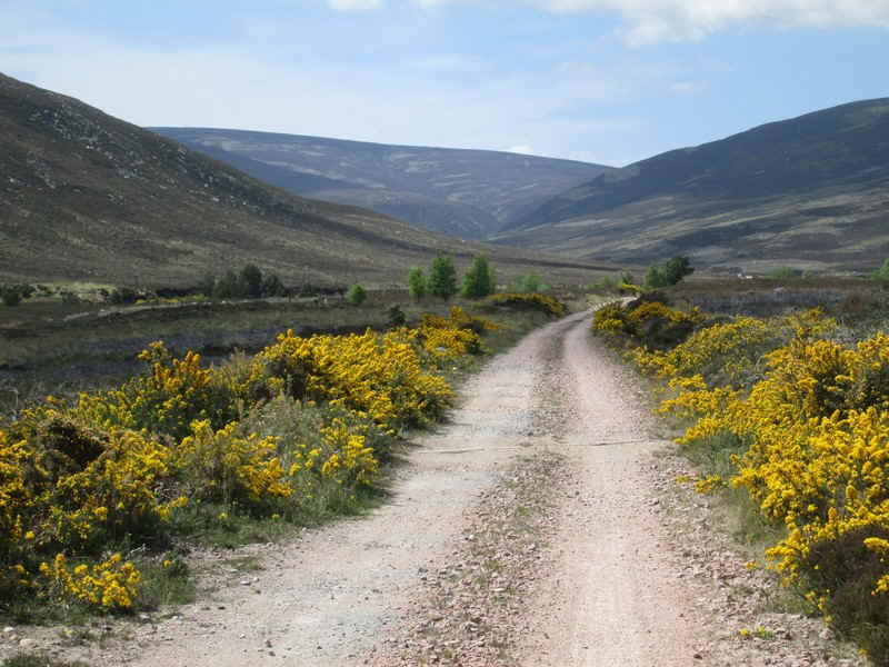
...and these improve as the track drops slightly towards...
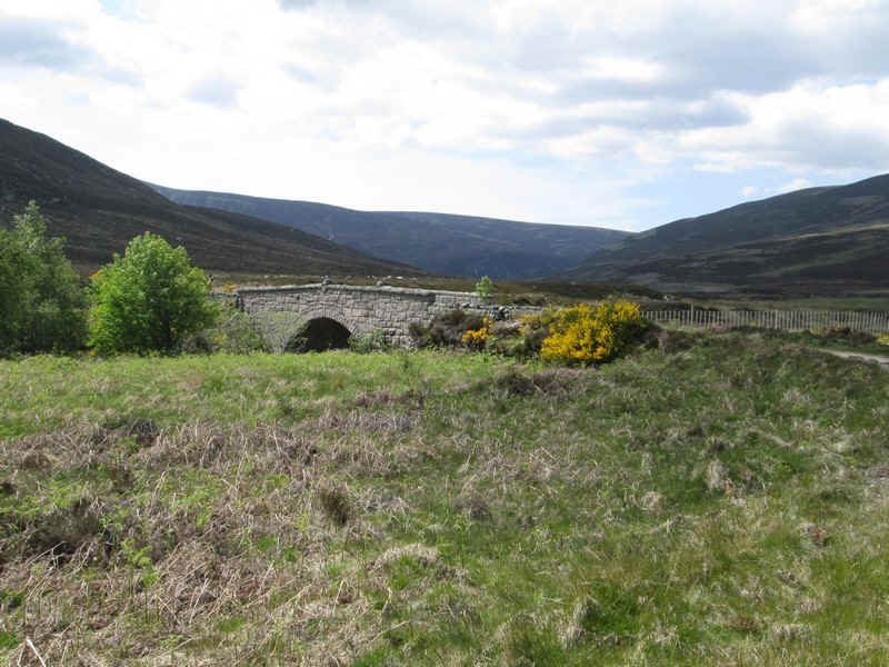
...the first bridge over the Water of Tanar.
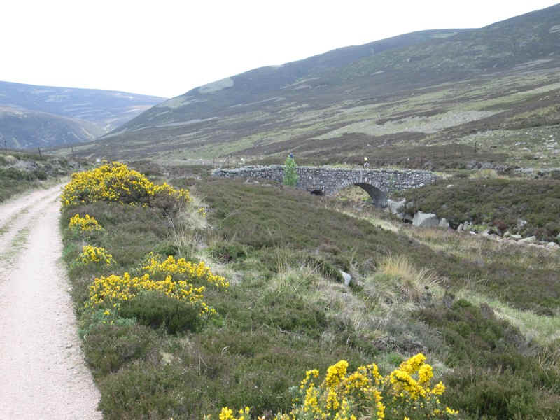
A little further on the track crosses back over the river and...
...the first view of Mount Keen appears. It was much more impressive than I'd expected.
The track continues gently uphill and eventually meets..
....the track from Ballater.
From Ballater to Mount Keen is 8.5 miles with 1045m of ascent and 320 m descent and (of course) 1045m of descent and 320m of ascent on the return walk.- about 8-9 hours walking time, This compares with 8.5 miles and 840 m of ascent on the route up Glen Tanar but I suspect the Ballater route would be more varied and interesting.
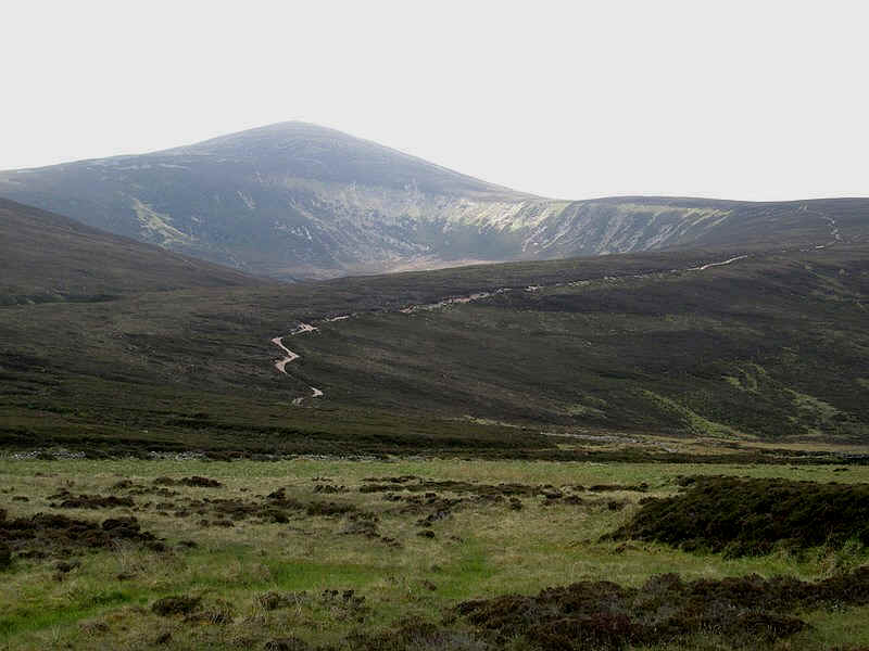
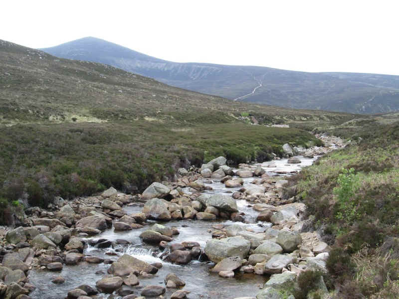
Looking across the glen the route to the top of Mount Keen can be seen clearly heading for the ridge.
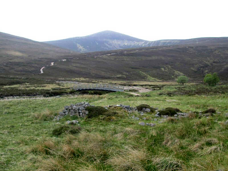
The track crosses the Water of Tanar on a very substantial metal bridge, with a ford for vehicles. This is about the limit for walkers who use a bike up Glen Tanar as...
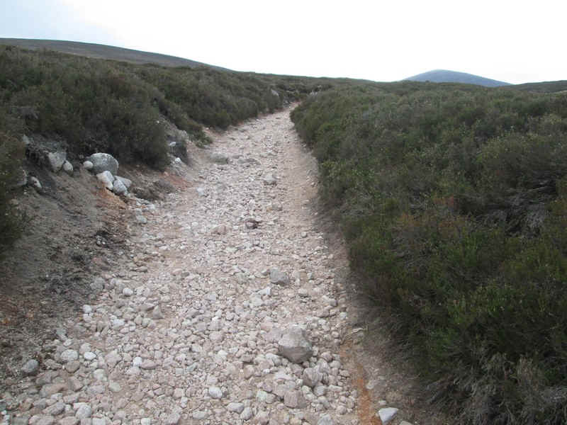
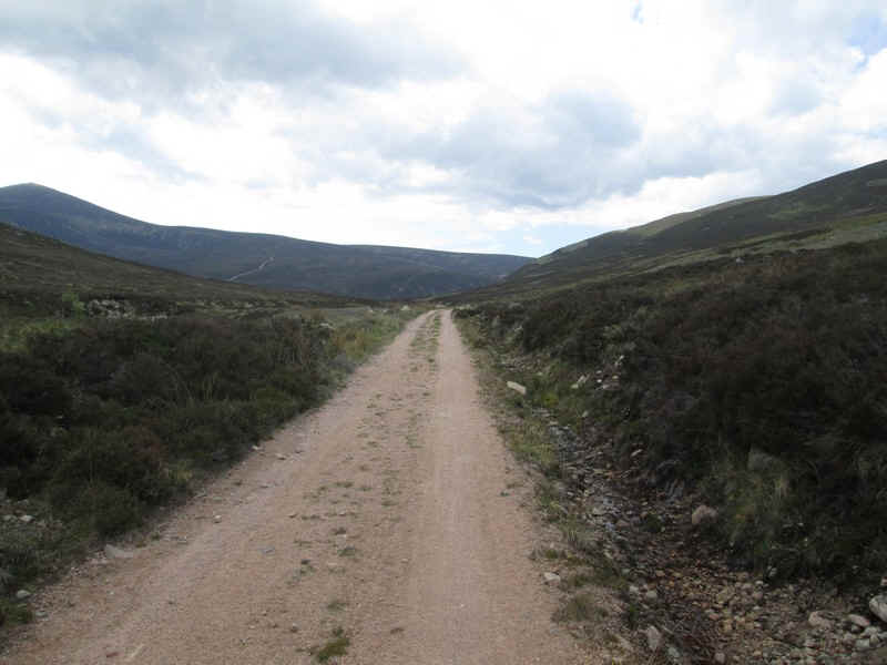
....the track uphill is increasingly rough.
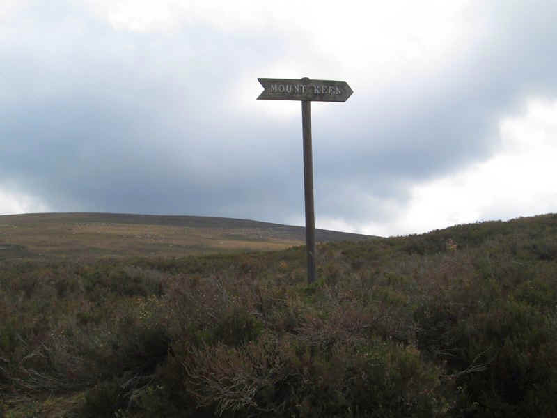
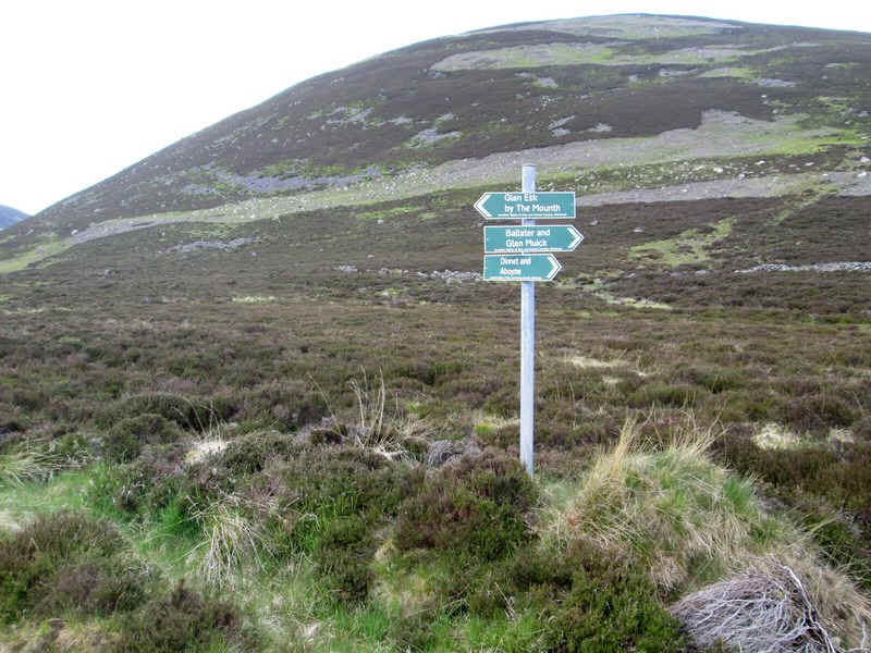
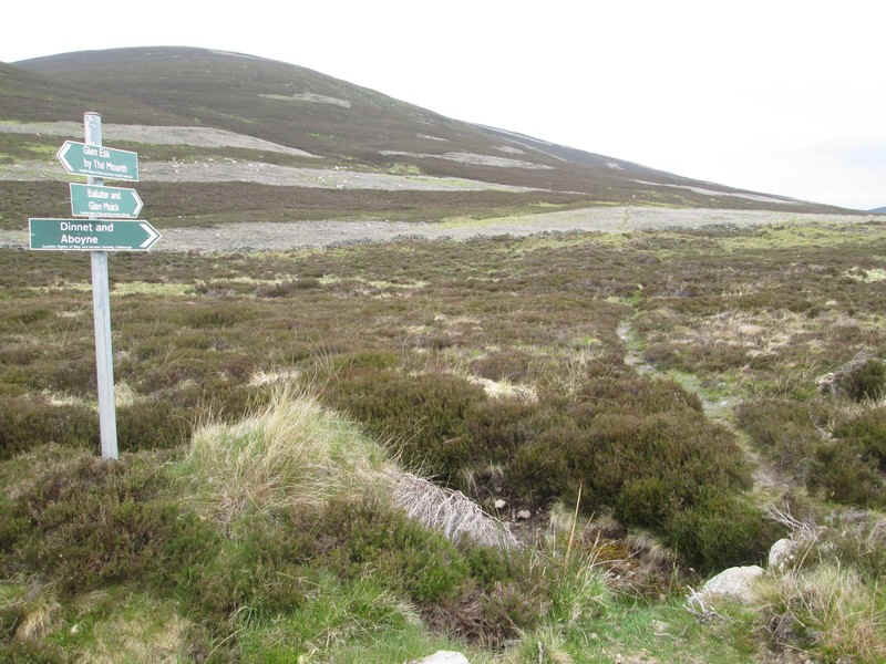
Just in case you aren't sure you are on the right path there is a helpful signpost!
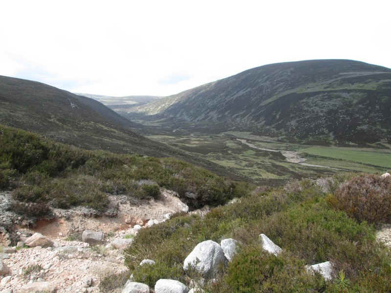
This is the view looking west up to the head of Glen Tanar.....
....and looking north east down the glen.
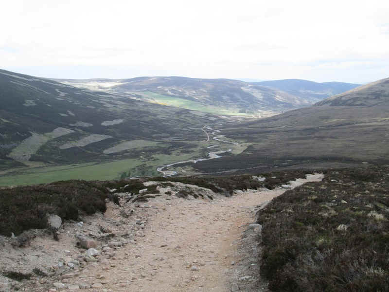
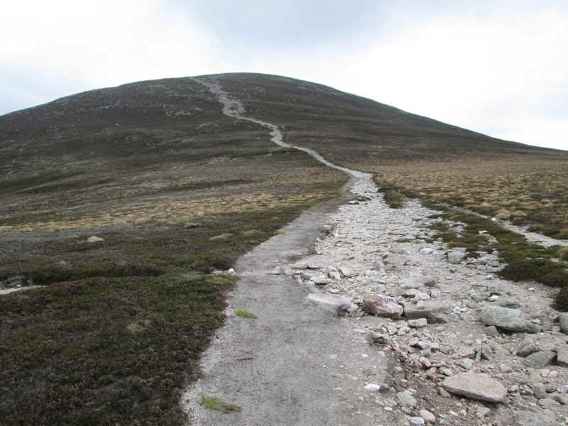
The next few photos show the route up to the main ridge..
..with the path splitting where the Mounth Road path heads off to the right.
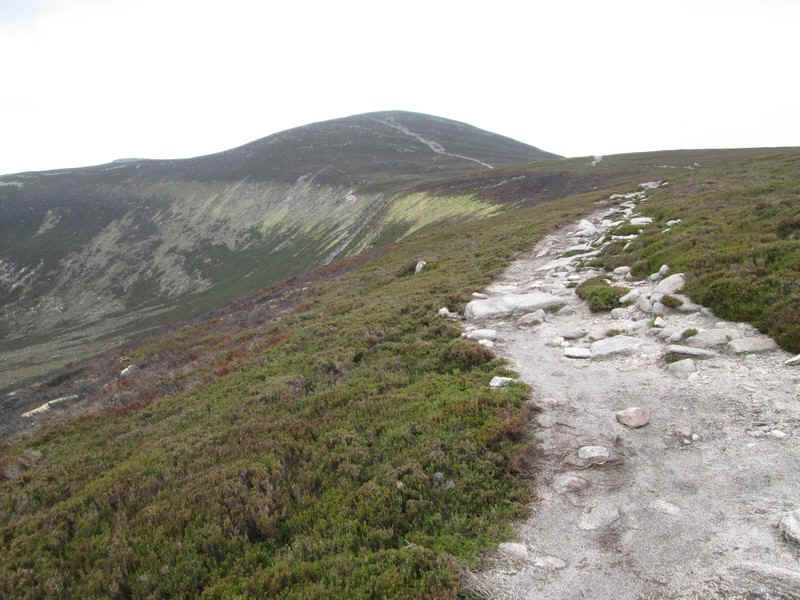
The track heads across the head of the corrie marked on the OS maps as Corrach.
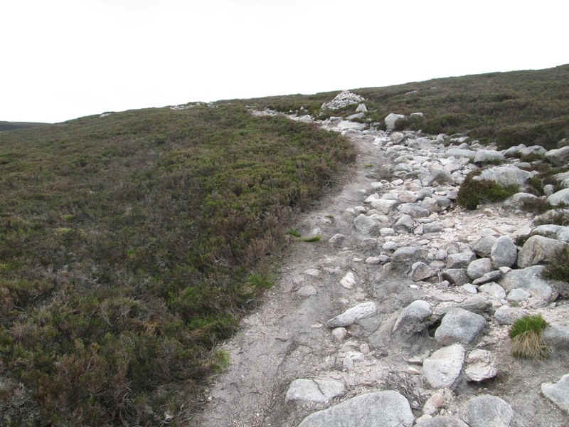
On reaching the main north ridge of Mount Keen the heavily eroded path climbs...
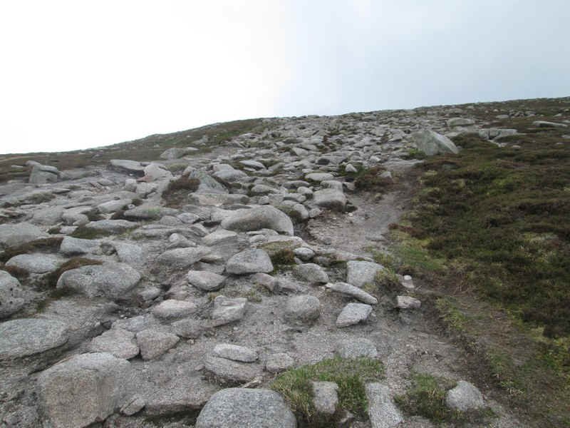
....over stones and boulders to....
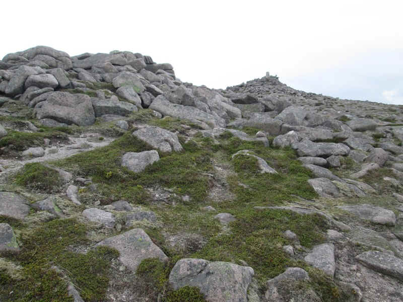
....to reach the trig point at 939 metres. It had taken about four hours to reach the summit.
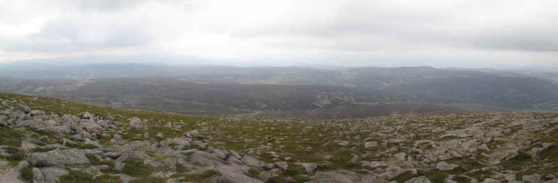
By this stage of the walk the sun had disappeared and views were disappointing. This is looking towards the west with Lochnagar somewhere under the cloud in the distance.
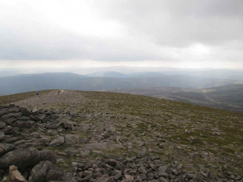
A couple of walkers were at the summit and are seen here heading off down the hill to Glen Esk which is the shortest route up the hill.
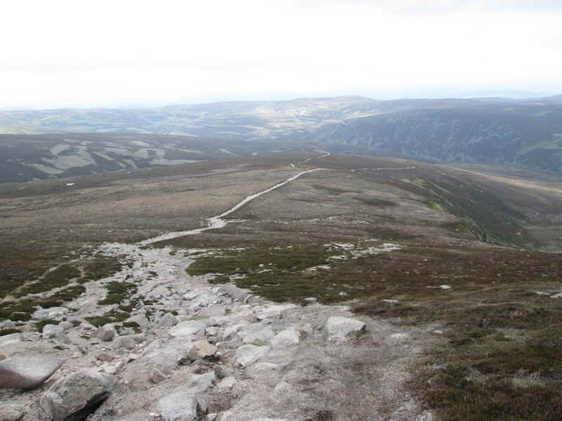
Looking back down the north ridge to the Glen Tanar path.
The Mounth path heads through the heather towards Ballater.
The return walk to Glen Tanar House is definitely one of those where you simply have to put your head down and get on with it. I was glad I had my GPS to give my expected time of arrival, as the two hour trek back to the car at the end of day is not that enjoyable, especially when you are passed by a couple of Munro bagging cyclists! The walk had taken eight hours including about half an hour of breaks.