Sgurr a'Bhealaich Dheirg and Saileag
Way points are taken from my SPOT GPS tracker.
These were the last two Munros I needed to climb in the upper Glen Shiel area. Normally they're also climbed with Aonach Meadhoin but, since I'd already climbed this Munro on my previous visit to Glen Shiel, I decided to find a different route. The plan was to start from the A87 at NH 055115, about 2km west of the Cluanie Inn, and follow a track up to a sheep fold. Then I'd walk up Coire Tholl Bruach to reach the bealach between Aonach Meadhoin and Sgurr a'Bhealaich Dheirg at the spot height 827m. I would then climb both Sgurr a'Bhealaich Dheirg and Saileag and then return the same way. In the end I changed my plans for reasons that will be revealed later.
Sadly, the weather wasn't good with low cloud above about 800m although at least it stayed dry. Because of this, the photos with this report aren't particularly inspiring but are included for completeness and to give an idea of the terrain.
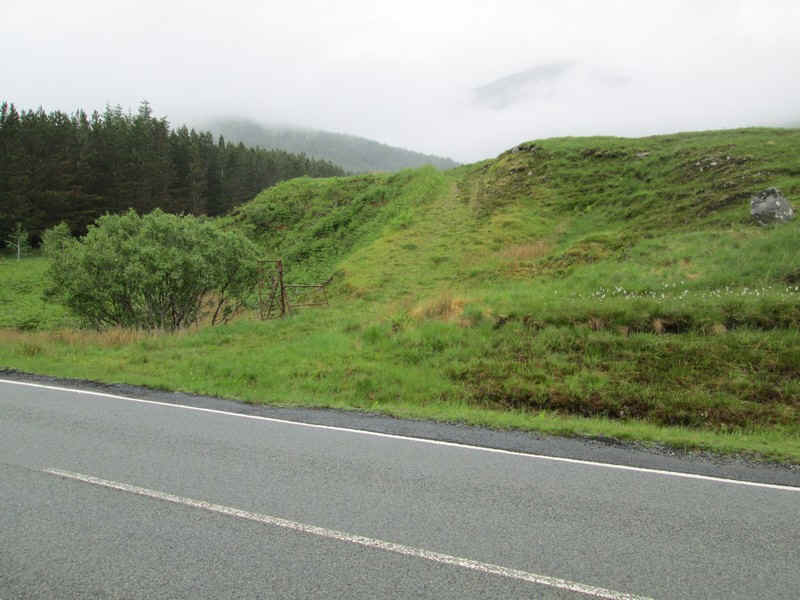
There's a track that leaves the road just east of the stream at the edge of the plantation.
This is followed uphill...
.....to reach a sheepfold. Across the glen there is a short section of clear track climbing in exactly the direction I needed to go. This is marked on the Harveys maps.
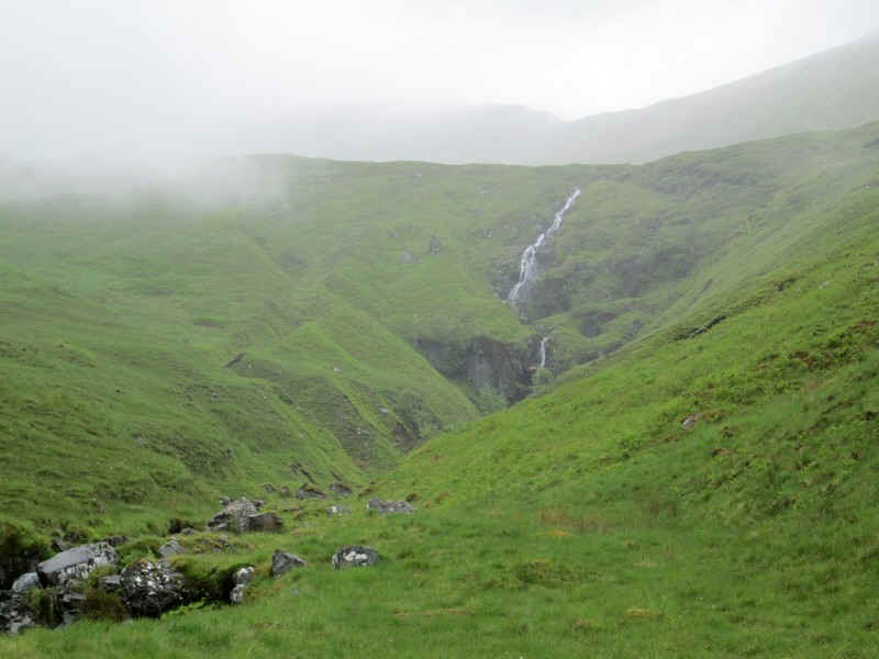
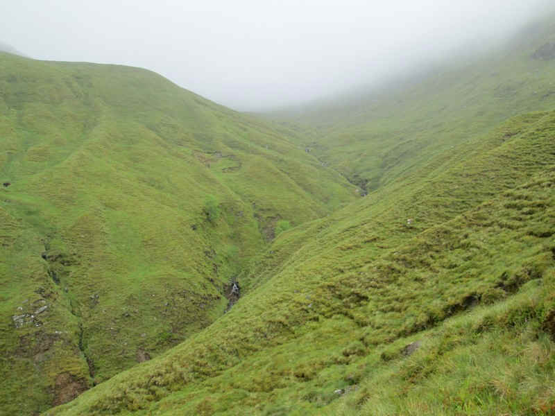
The Steall Bhan waterfall with the slopes leading up to Aonach Mheadhoin.
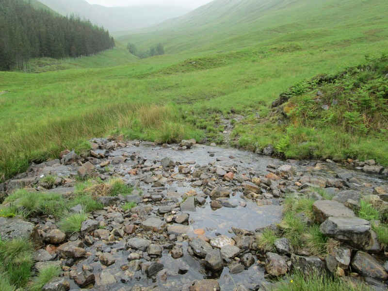
The Allt na Steille Baine needs to be crossed but posed no problems .
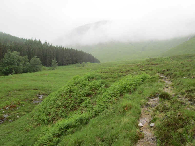
The isolated section of track is reached at about NH053124 and provides about a few hundred metres of easy walking.
Then it's simply a case of following a gently rising traverse to...
....reach the corner fence posts at NH048126.
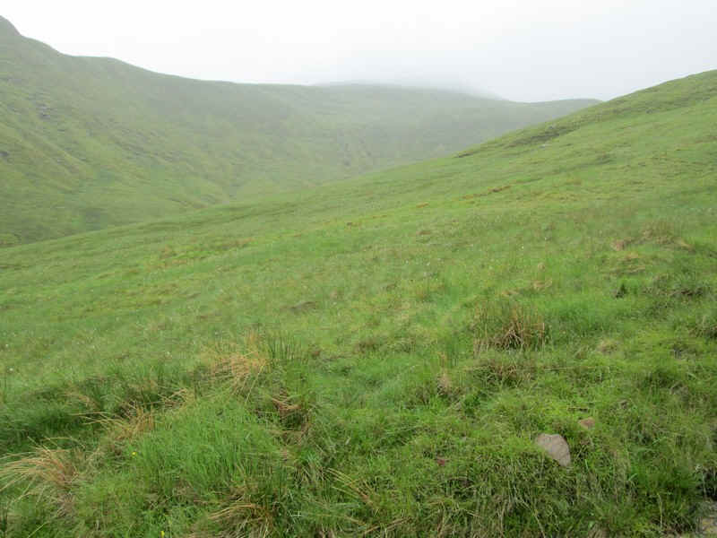
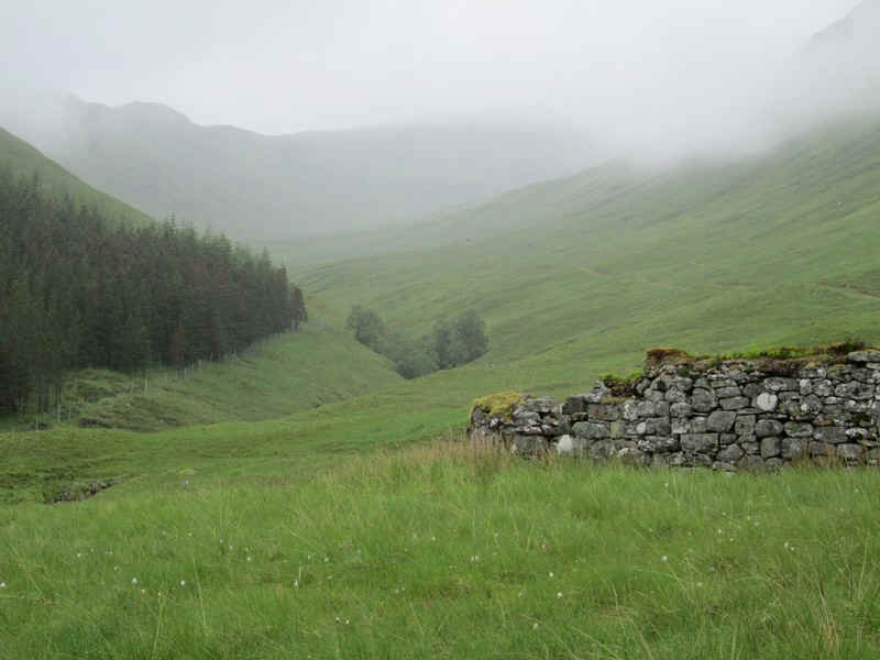
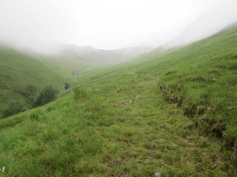
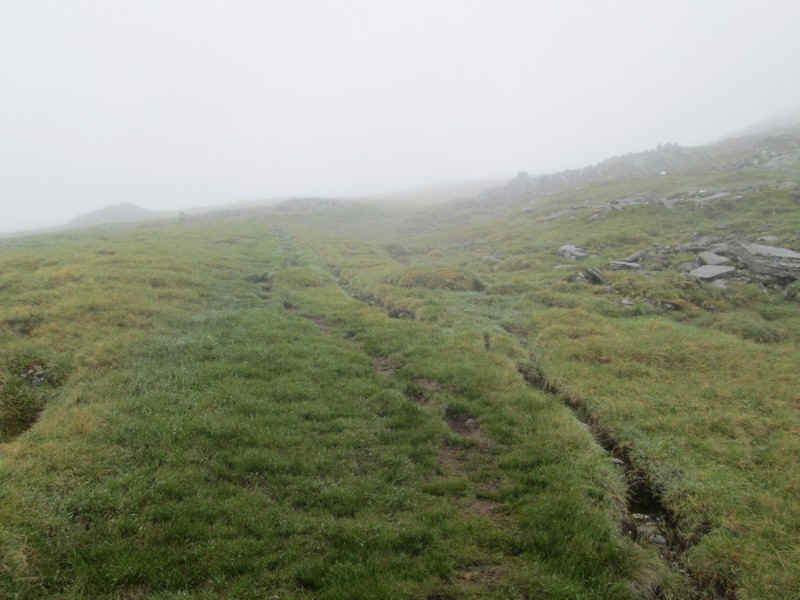
The trackless way forward heads gently uphill...
.....so that you are well above the deeply incised Allt Coire Tholl Bruach.
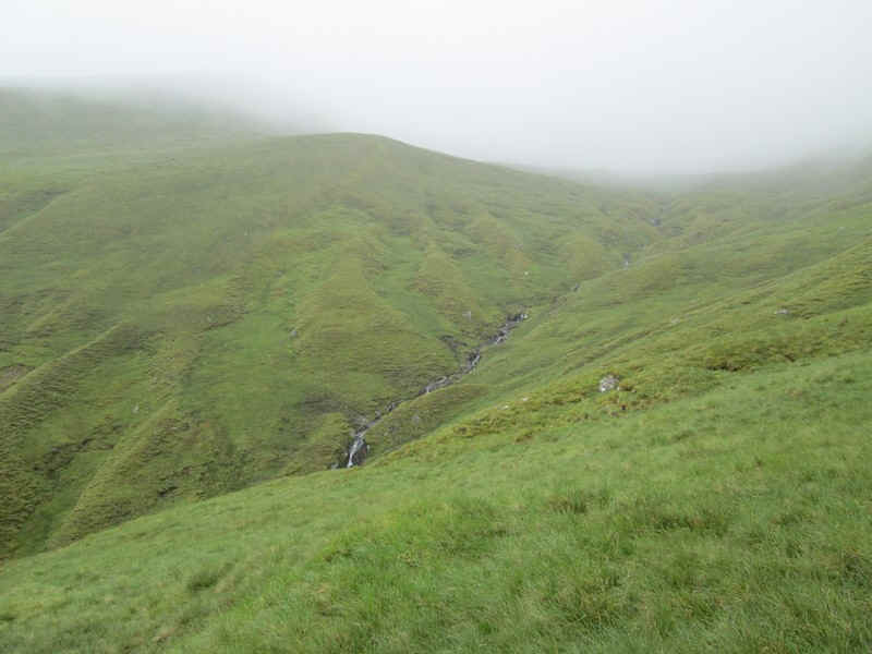
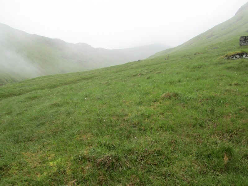
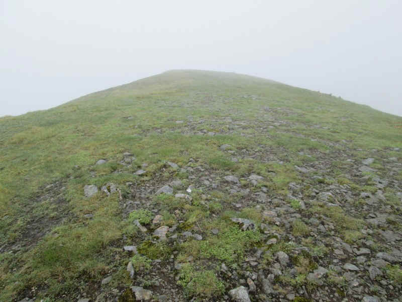
Just visible through the mist is the bealach. I found that by climbing gently to keep well above the stream..
.....that the final pull up the corrie back wall wasn't too steep, although it's steeper than this misty photo suggests.

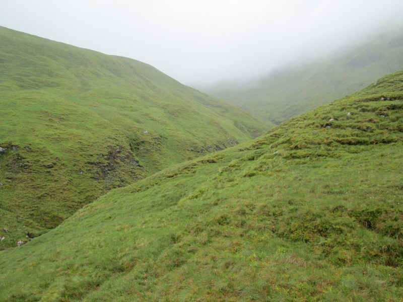
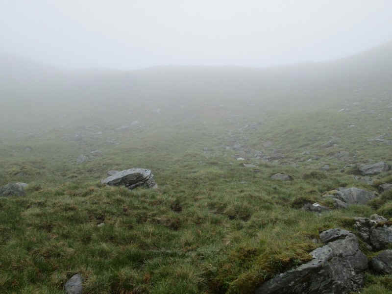
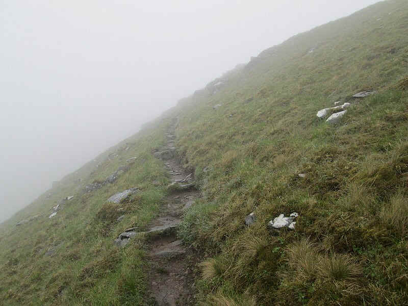
Once at the bealach there's a good path which heads...
.....gently uphill with no difficulties..
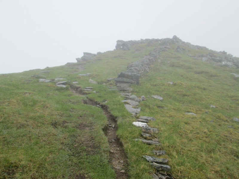
...to reach a stone dyke.
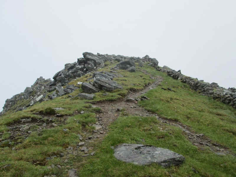
The summit of Sgurr a'Bhealaich Dheirg is on a narrow and rather exposed ridge a few hundred metres north of the main ridge.
First you need to clamber over some rocks and then follow the path ....
......along the west side before swapping over to the east.
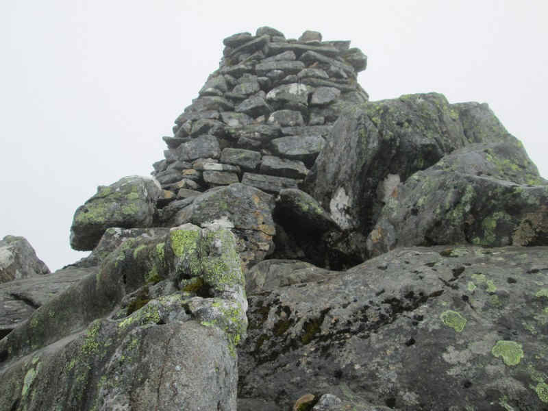
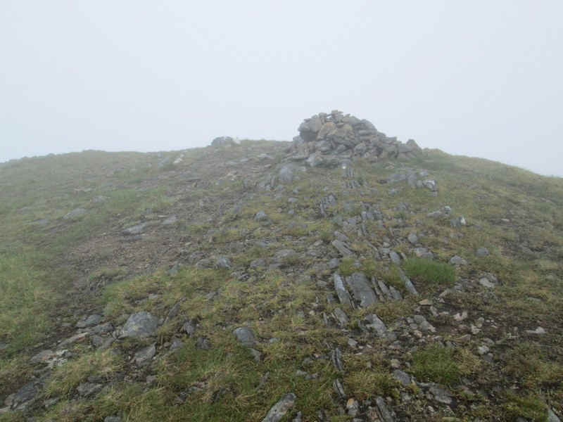
The summit is a pile of rocks with this magnificent cairn on the top of Sgurr a'Bhealaich Dheirg at 1036m. I have to admit that I didn't clamber to the very top as the drops are pretty severe here and the rocks were extremely slippery. A very careful return to the main ridge was followed by lunch and sending an "I'm OK and position" message on my SPOT tracker - there is no mobile reception on these two hills.
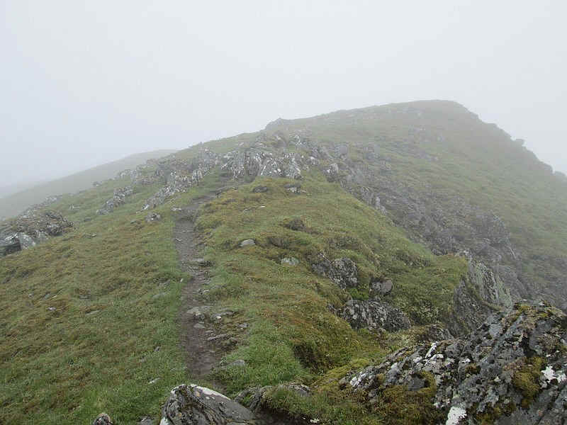
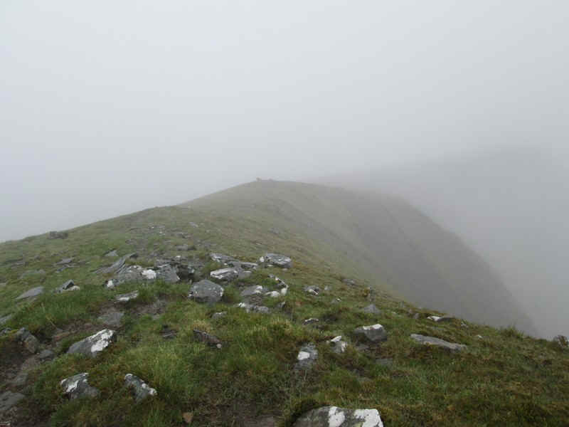
The path now starts its descent down the west ridge ....
.....passing several cairns...
......including this "viewpoint" one slightly off the path (spot height 1014m) which..
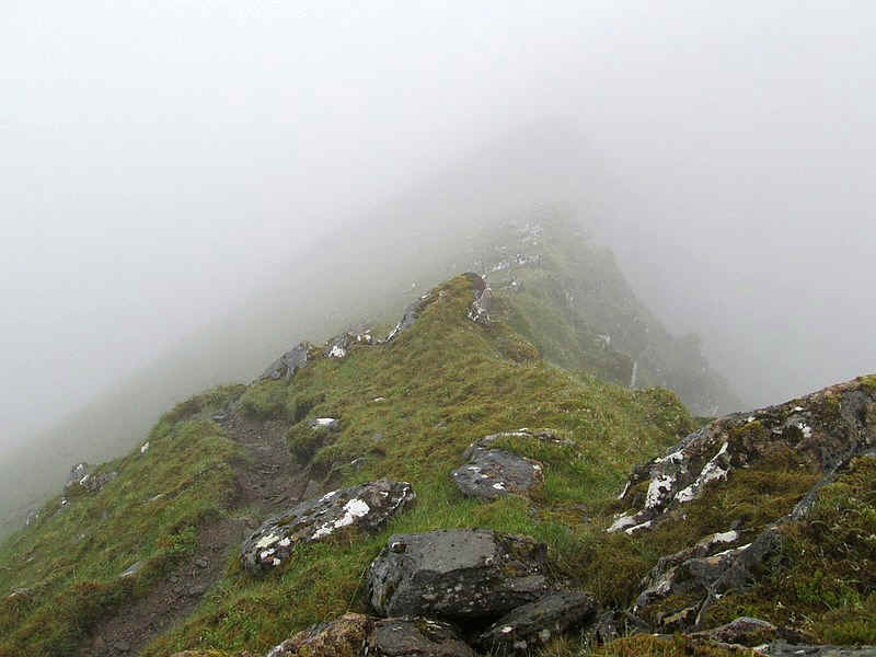
....then drops down to the south...
.....before rising to the 911m spot height.
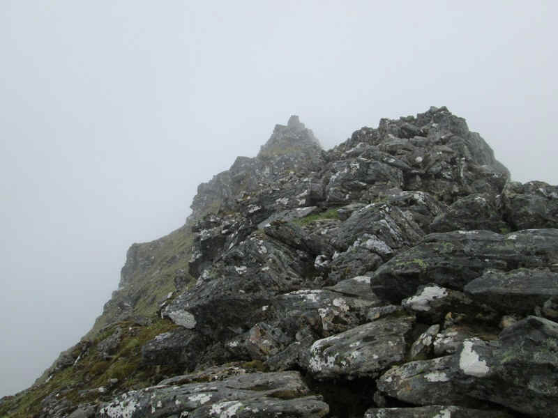
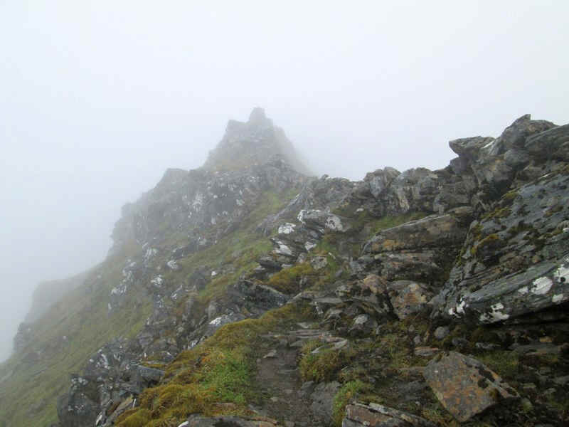
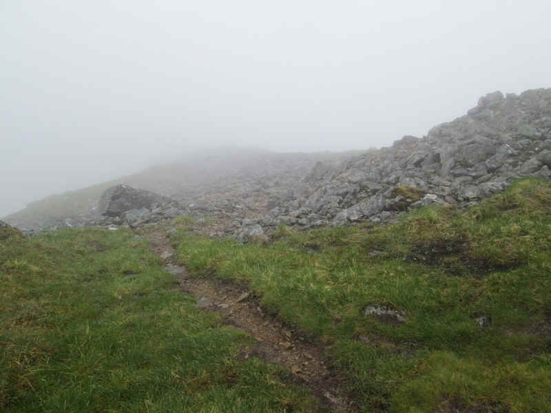
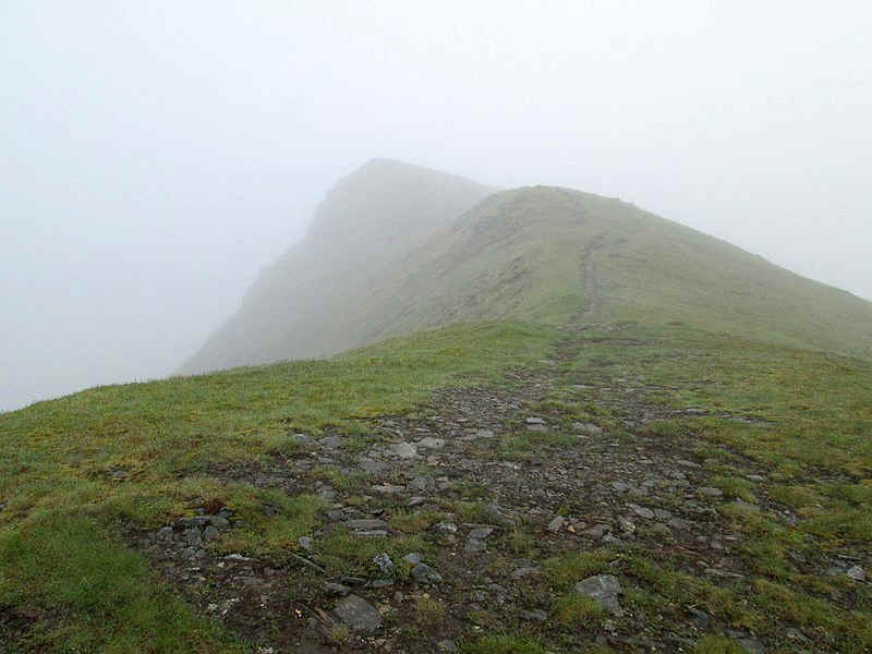
There's another section along the now quite narrow ridge...
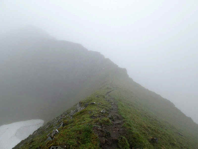
.....before this very narrow section looms out of the mist.
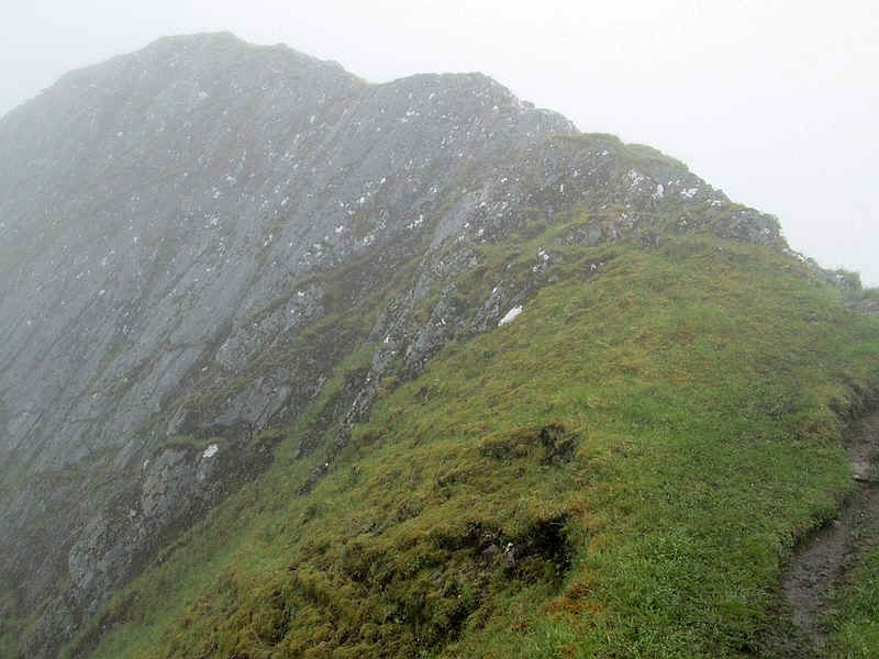
The path heads straight for this huge sloping section of rock and disappears around the corner with a short but rather exposed section with big drops to the north. No photos I'm afraid as I was concentrating on scrambling over this part.
I immediately decided that I wasn't going to return this way as, whilst I was reasonably happy going uphill, I wasn't going to come back down it if I could avoid this. Beyond, the path returned to a much more pleasant section.....
...as it carried on along the ridge...
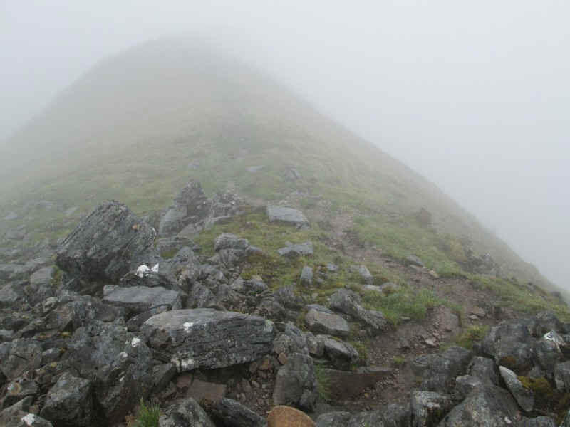
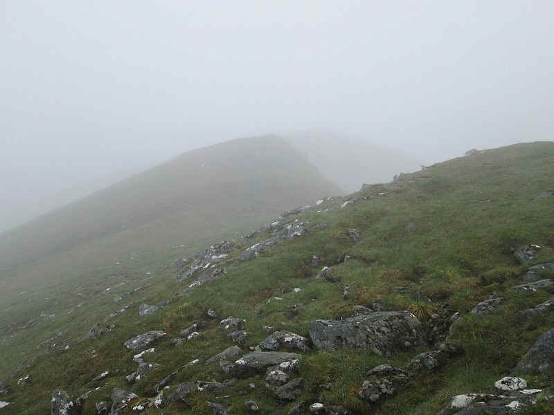
.....before abandoning it and skirting the south side of Saileag...
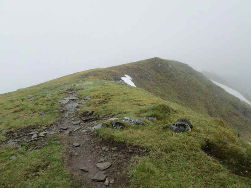
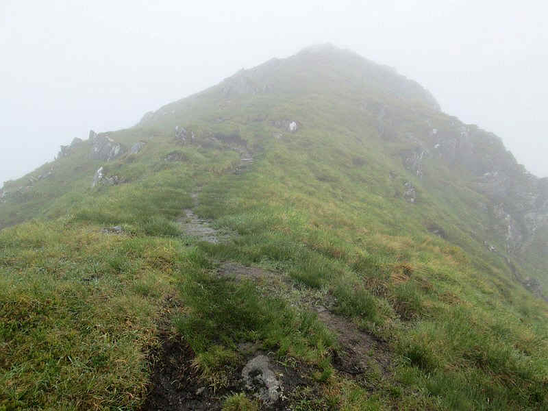
.....and then climbing on to the first of its summits.
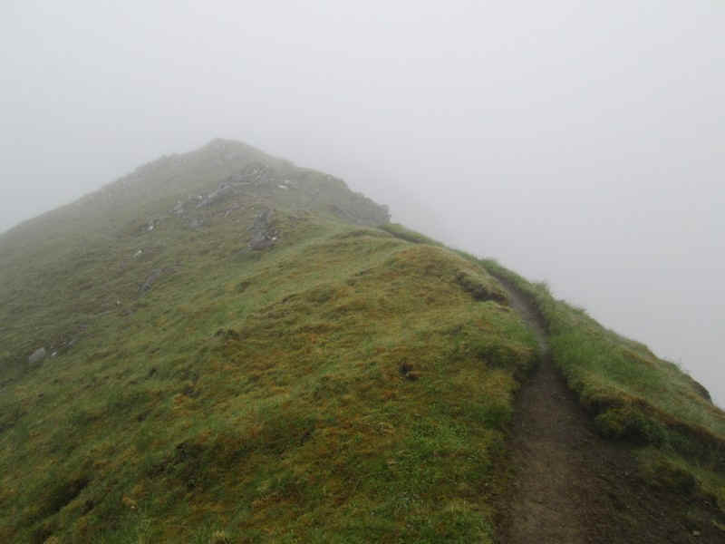
There seem to be several high points on Saileag, with depressions between each.....
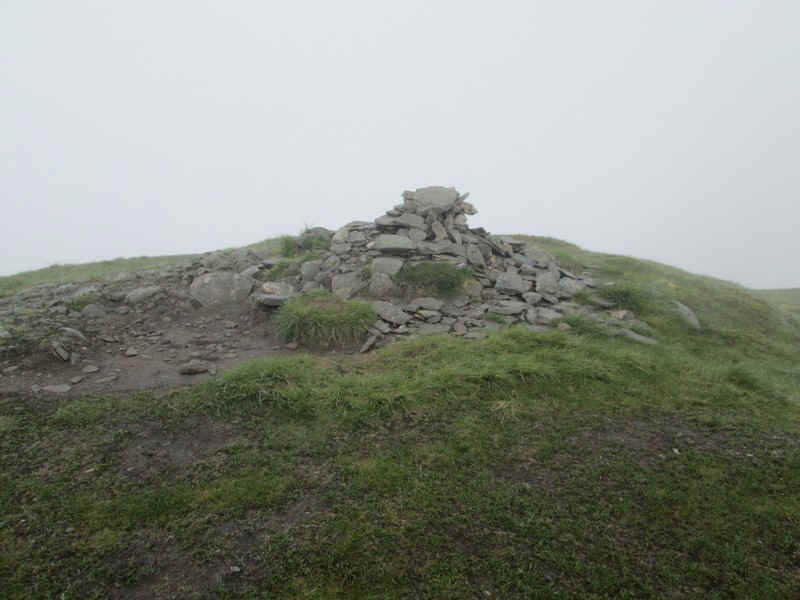
.....but the cairn is on the highest at 956m. As I was altering my walk from that I'd planned, I now sent another SPOT message - this is one of the advantages of having a GPS transmitter, as you have the chance to let people know where you are even if you change you route plan.
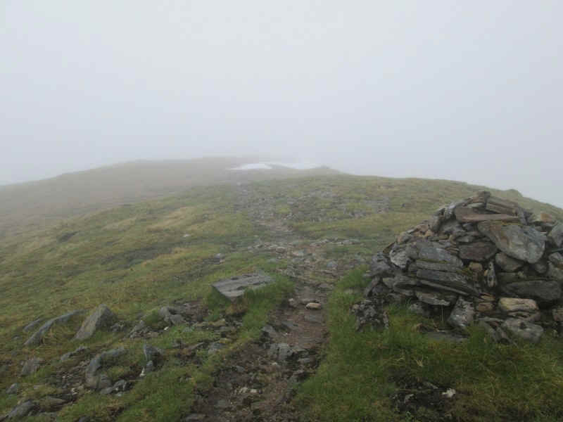
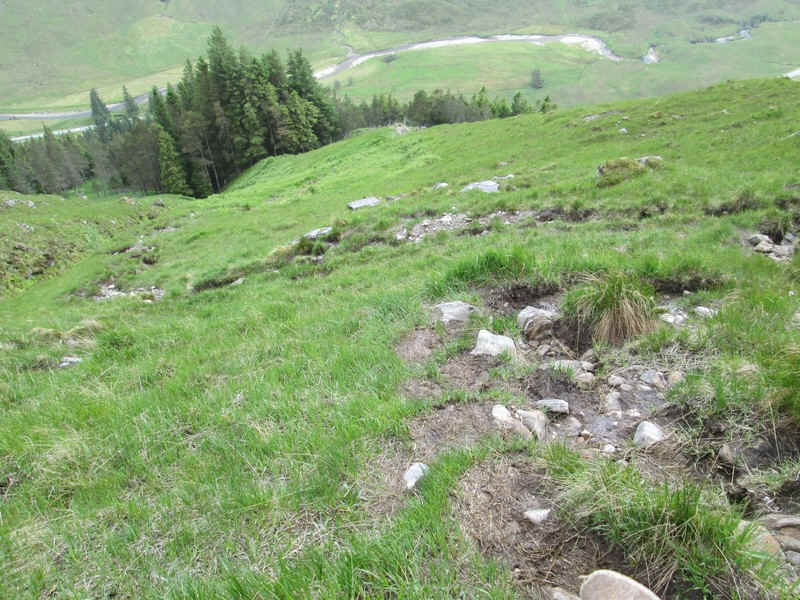
The descent down from Saileag to Bealach an Lapain (at 725m) starts by heading down the south west ridge..
.....and then there's a gradual descent on a very clear path..
......to reach the bealach...
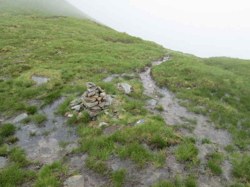
.....where the small cairn marks the path downhill to the A87. Another SPOT message will confirm my latest position.
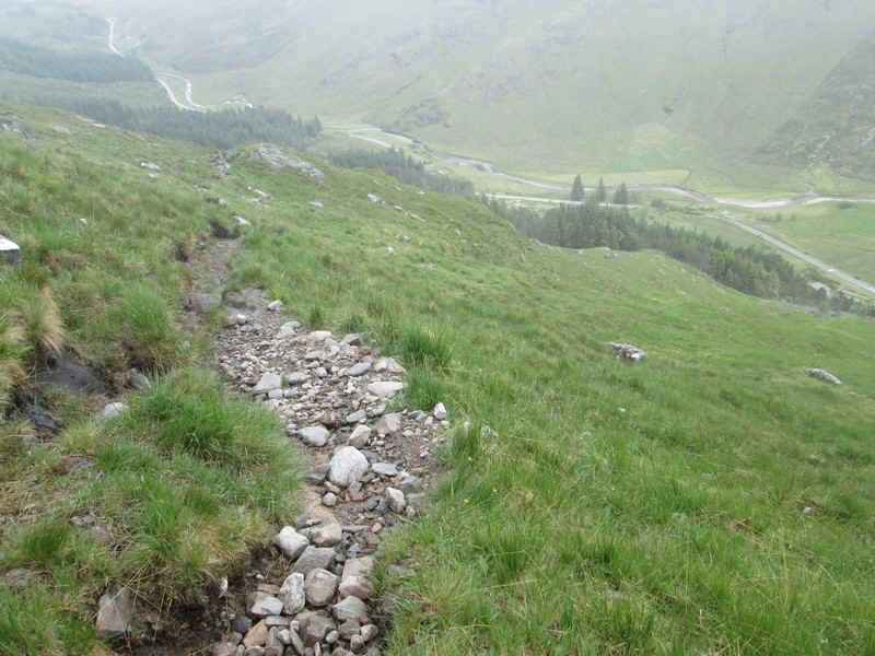
Eventually, I dropped below the cloud base.
Despite being quite heavily eroded in places and slippy, it was a surprisingly easy descent to the A87.
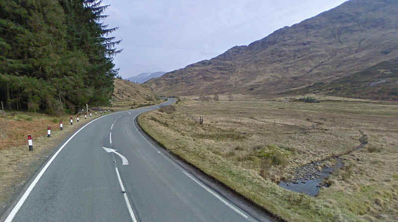
After sending another SPOT location message it was now time for a bit of road walking up Glen Shiel . The walk back to the Cluanir Inn took me 90 minutes. Virtually the whole way there are wide verges, which give plenty of room to be well out of the way of traffic.