Sgurr na h-Ulaidh
I started this walk from the bus stop at the Glencoe Hotel using the hourly Kinlochleven bus service from Fort William. There's a proper pavement by the side of the A82 for the first mile out of the village....
....and then a footpath through the woods to Glencoe Visitors' Centre.
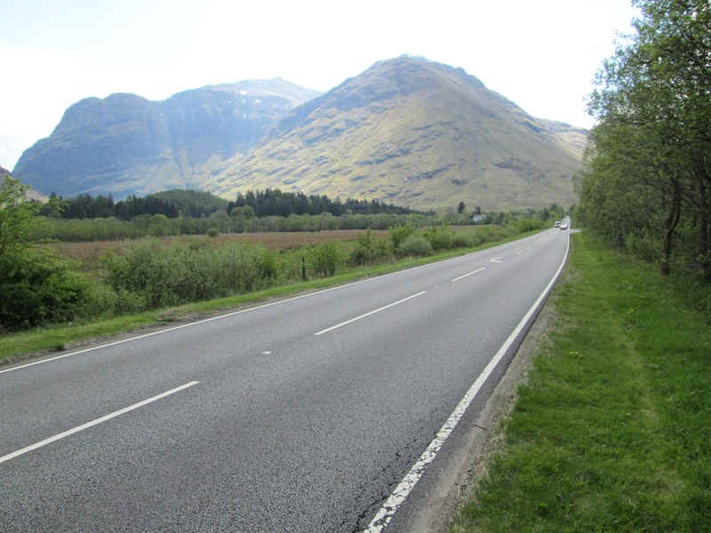
Beyond the vistor centre the verge of the A82 has to be used. The visitor centre is the closest bus stop to the beginning of the walk but is only served by Citylink buses between Glasgow and Fort William. Sadly it's also the closest that these buses will stop for the Clachaig Inn where I was staying that night. The walk along the road to the start of the hill walk is just under a mile and about another mile to Clachaig.

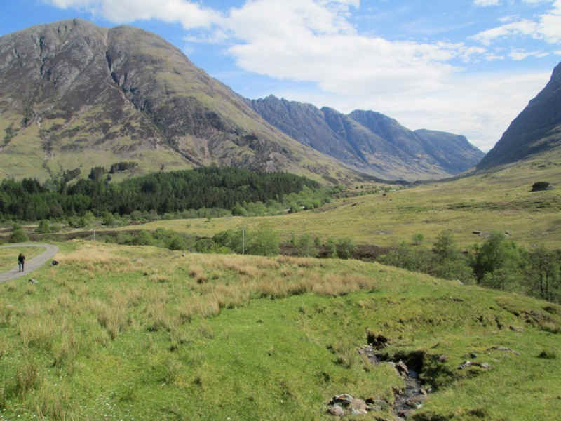
Leaving the main road the private road up Gleann-Leac-na-Muidhe is taken. To the left are the slopes of An t-Sron and further up the glen Stob Coire nam Beith and Bidean nam Bian. Ahead is Aonach Dubh a'Ghlinne and to the right the glen which the track goes up.
Looking back into Glen Coe with the Munro Sgorr nam Fiannaidh (on the left) and the Aonach Eagach ridge on the right.
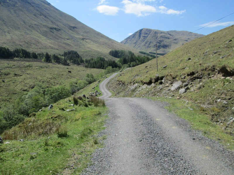
The track continues up the glen...
....and crosses the Allt na Muidhe.
There's a footpath diversion to avoid the gardens of the Glencoe Mountain Cottages...
...which appears to be quite recent.
It's a pleasant walk but does add a little extra distance to the walk.
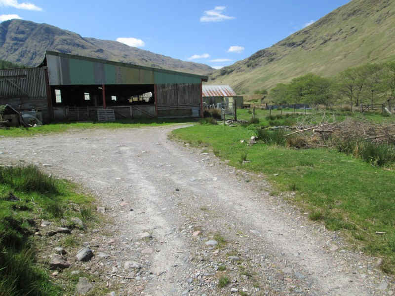
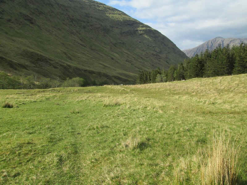
Once back on the main track some farm buildings are passed...
....and then the track heads into the upper glen.
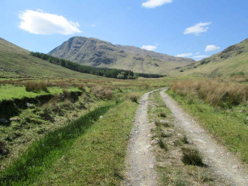
Round about this point the day's target, Sgurr na h'Uulaidh comes into view
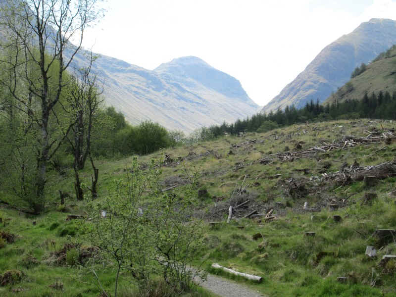
Just beyond the corner of the plantation at NN106546 it's time to start the long climb uphill.
I was aiming for the bealach at NN119530 (marked as spot height 798m on the map) so set off on a GPS course in that direction. It's a steep climb ascending from the top edge of the plantation about 525m in just 1.6km - about 1 in 3 with no path!
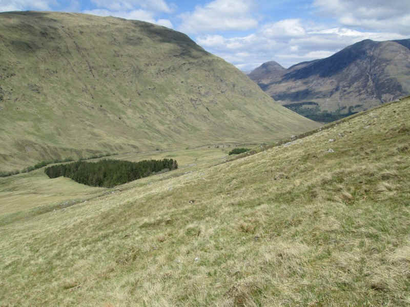
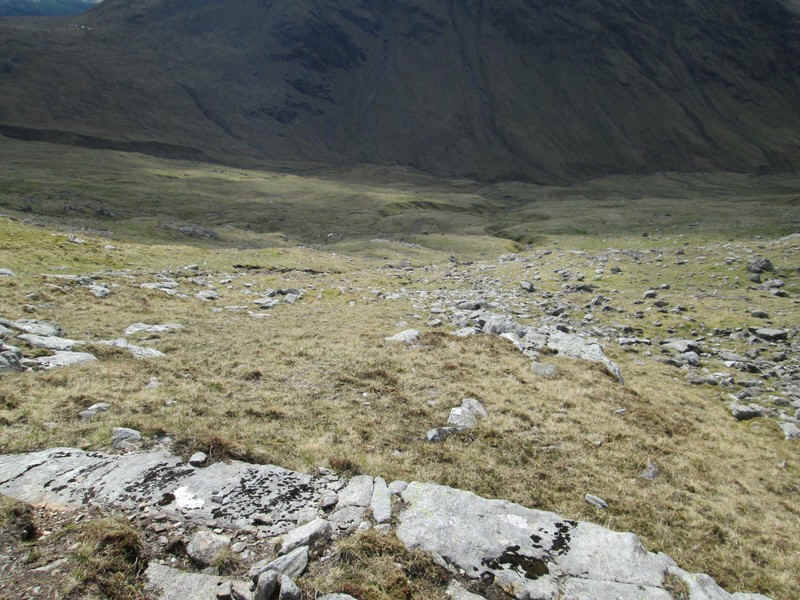
Looking back down into the glen.
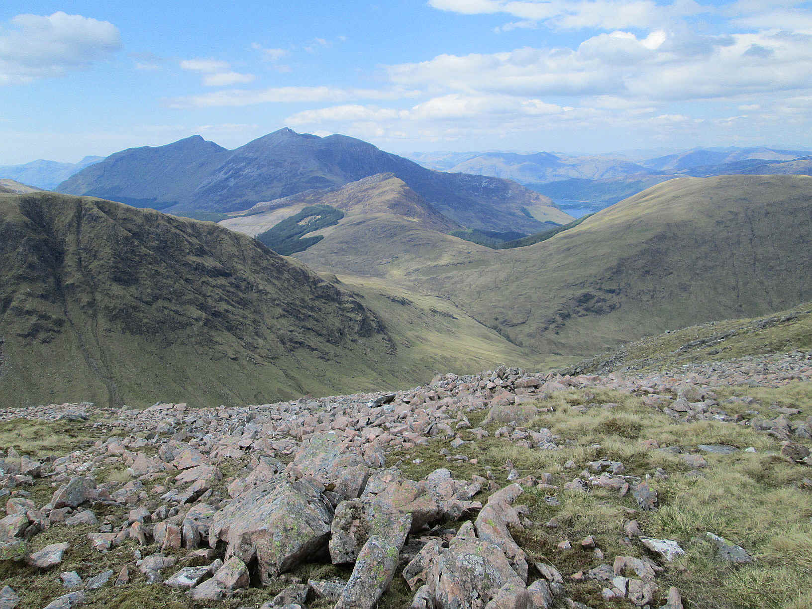
The backwards views became extensive with the hills above Ballachulish appearing. Sgorr Dhonuill is on the left and Sgorr Dhearg is the high centre peak.
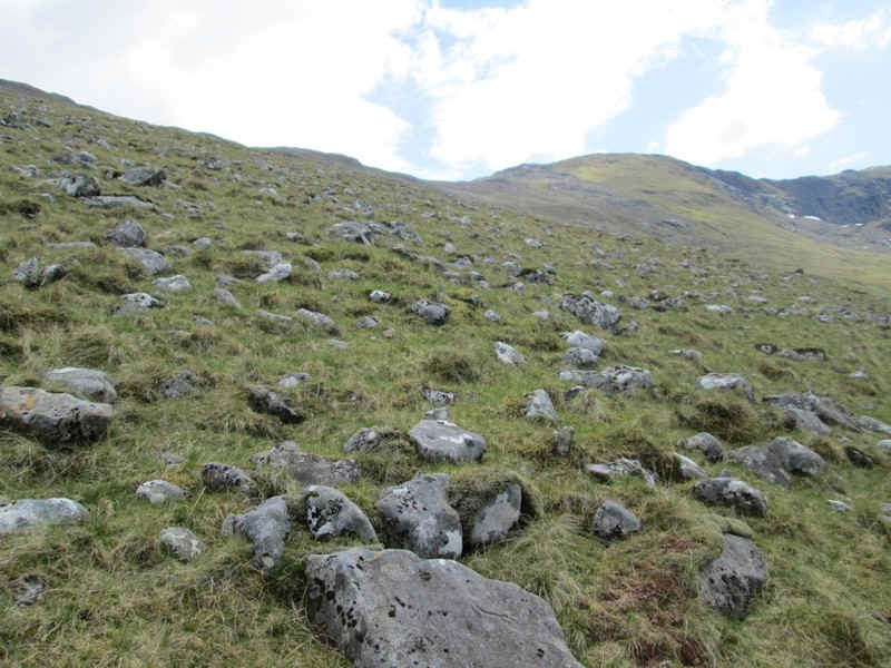
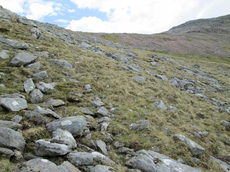
The terrain varies from grassy slopes to more stony areas.
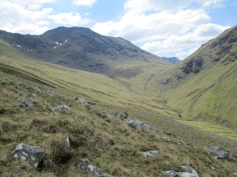
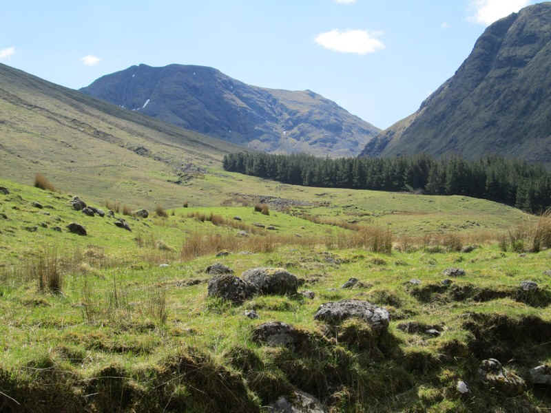
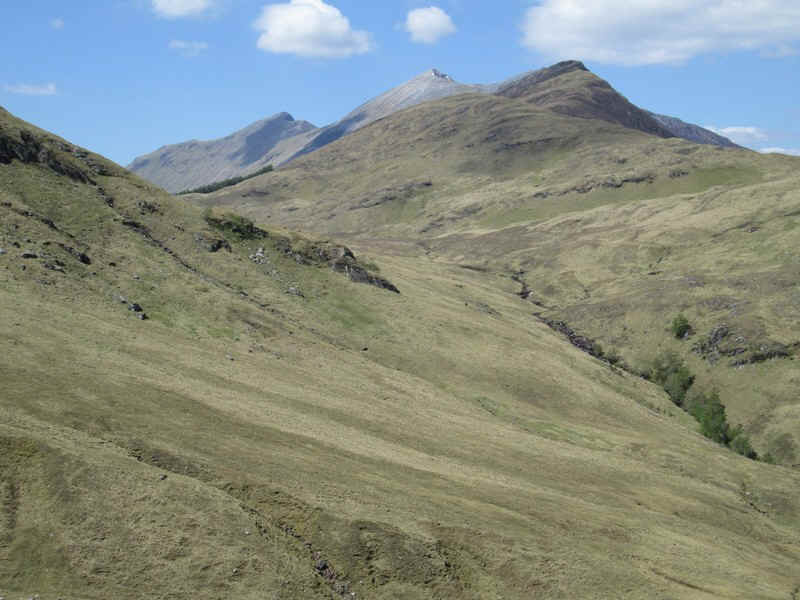
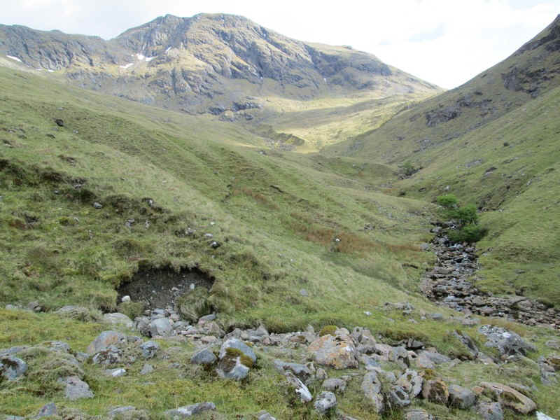
I needed to keep stopping for drinks and a rest as the day was hot and the climb was demanding. The photo shows the head of the glen. At this point I noticed the intriguing notch in the skyline of Sgurr na h-Ulaidh - more of this later. Peeping over the bealach at the head of the glen is Beinn Fhionnalidh in Appin.
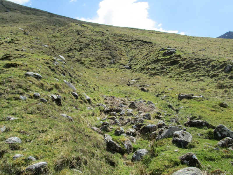
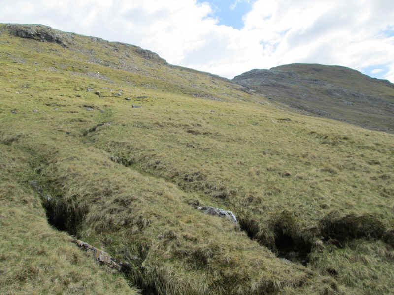
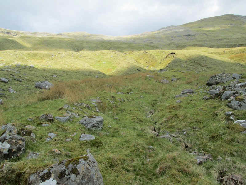
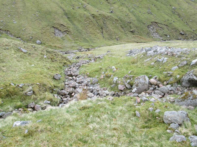
As I climbed further up the hillside a series of gullies had to be crossed...
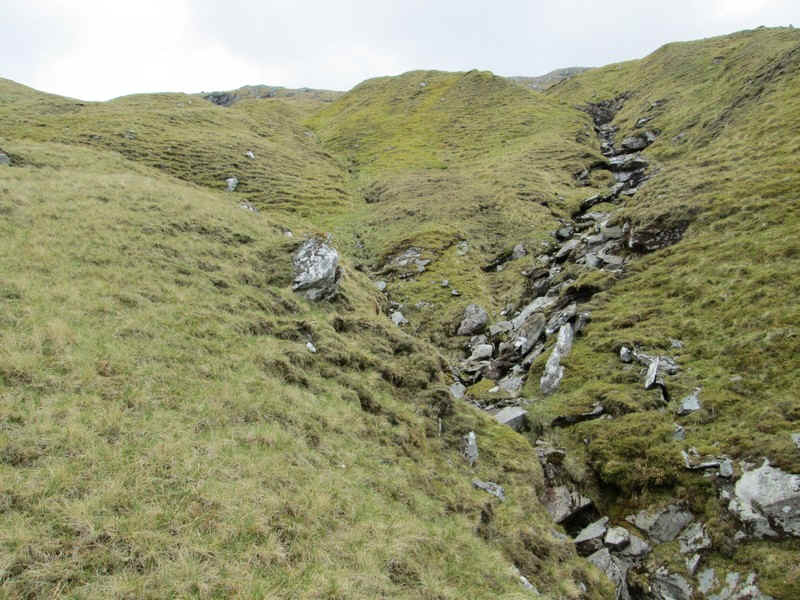
...although in some places they were so deep that I had to climb above them.
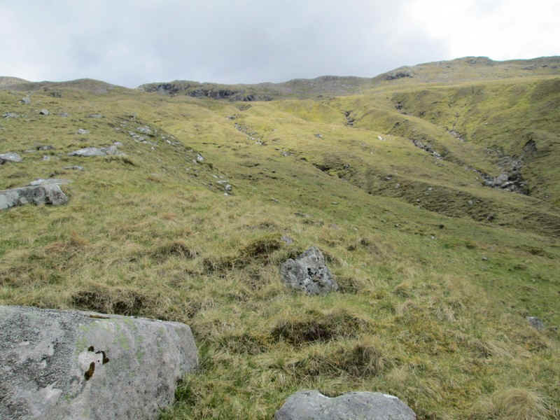
Eventually the skyline seemed to get nearer!
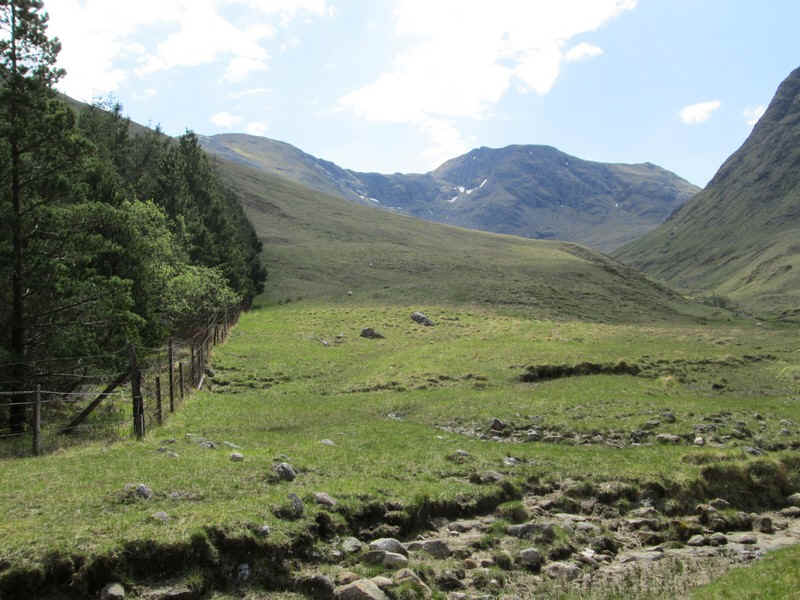
The beallach between Aonach Dubh a'Ghlinne and Stob an Fhuarain (on the right) comes into view.
Having reached the bealach at 798m it was definitely time for a rest and lunch! The climb had taken me nearly 2 hours.....However, the views were superb - to the west are the Ballachulish hills (click on the photo to see a larger image)
To the east the view is dominated by Bidean nam Bian (click for a larger image)
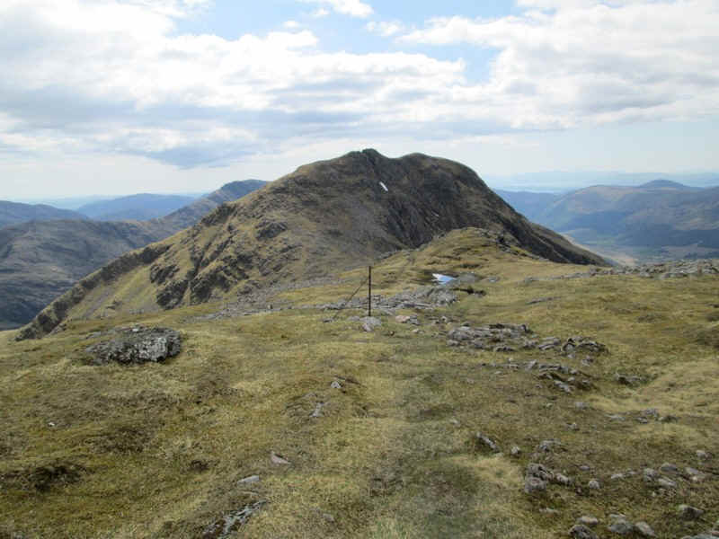
After a leisurely lunch break - it was warm enough to sit in shirt sleeves - it was on up the ridge path...
....with a steady climb to the first summit Stob an Fhuarain
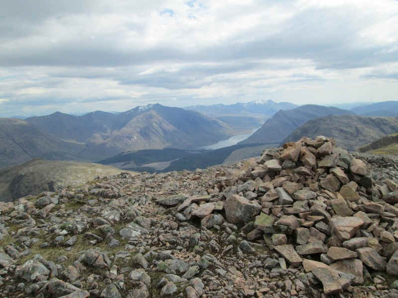
The summit cairn is at 968m with Loch Etive seen down below. To the left of the loch is Ben Starav and the snow covered hill in the distance above the loch is Ben Cruachan.
From the summit, the path drops down by an old fence......
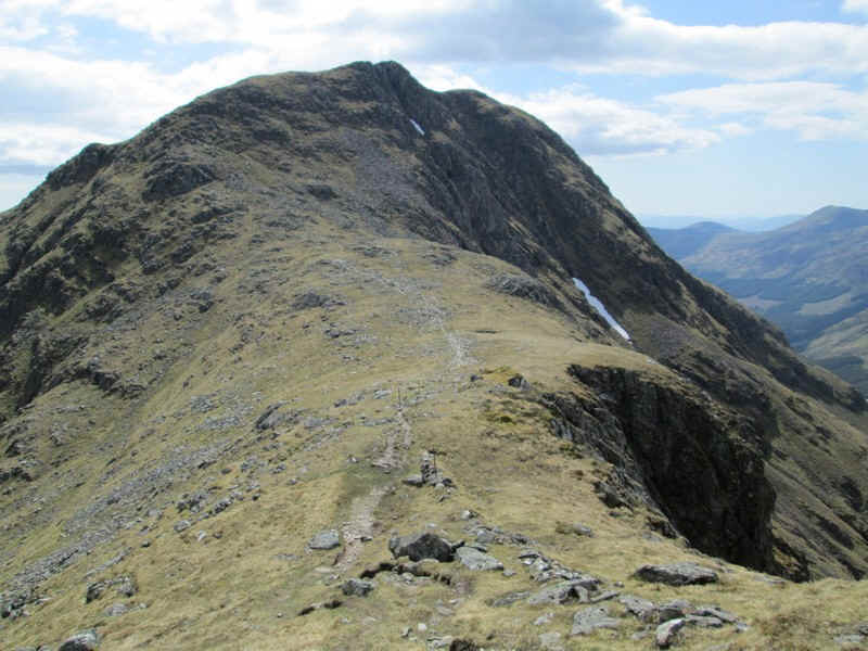
....for about 100m to a bealach.
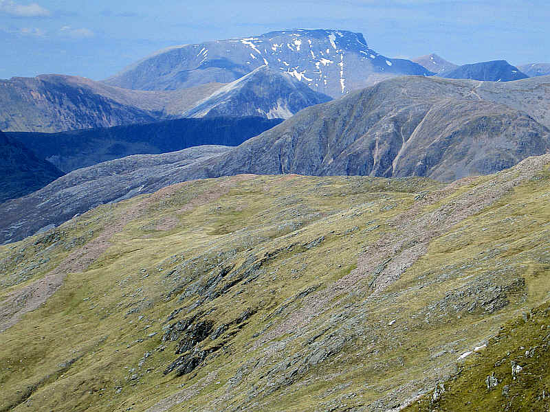
In the distance Ben Nevis towers above everything else.
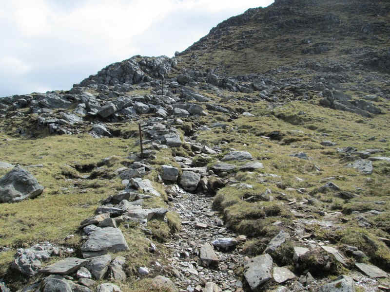
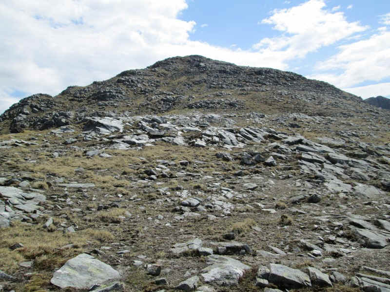
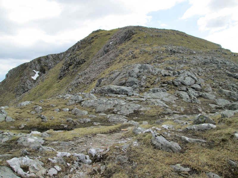
The final climb to the summit is stony and passes...
....the top of the notch referred to earlier.
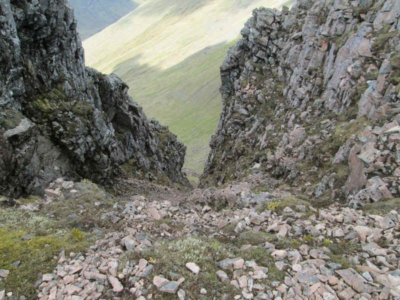
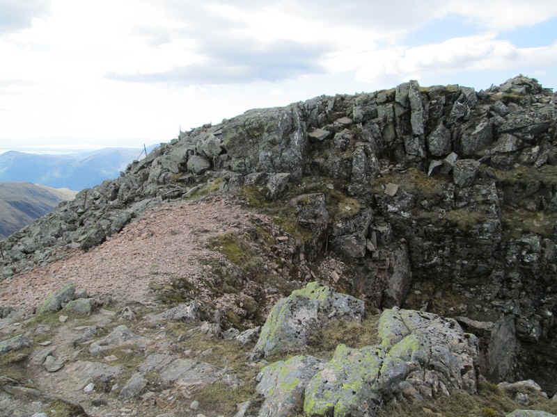
It's a long way down and the path definitely needs care in fog or snow especially since it's on top of a narrow ridge at this point!
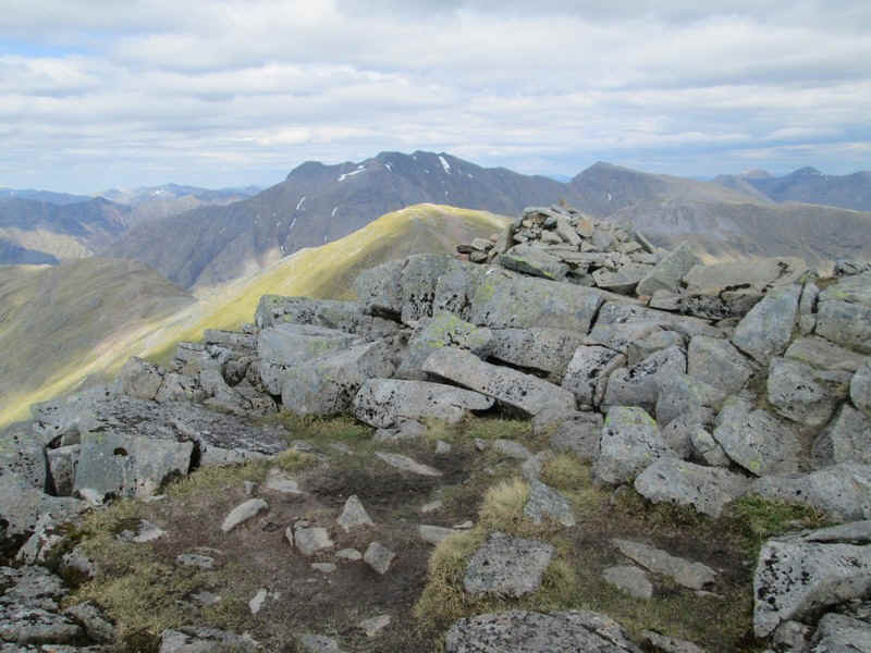
To reach the summit of Sgurr na h-Ulaidh (994m) requires quite a scramble over a jmunble of boulders. It had taken me about 3 hours walking time from the valley to reach the summit.
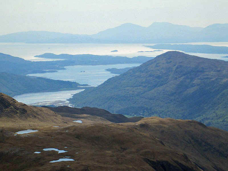
From the grassy ridge, just beyond the cairn, the views were superb. This is looking towards Mull and the Forth of Lorn. The low island to the right is Lismore. In the centre is the peninsular of Benderloch with Loch Crearn in front of it.
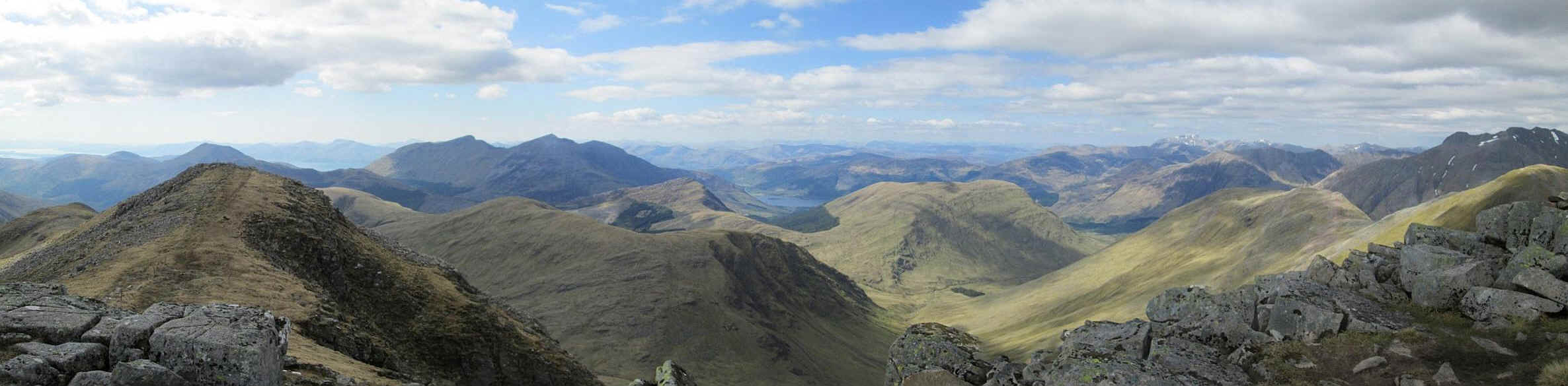
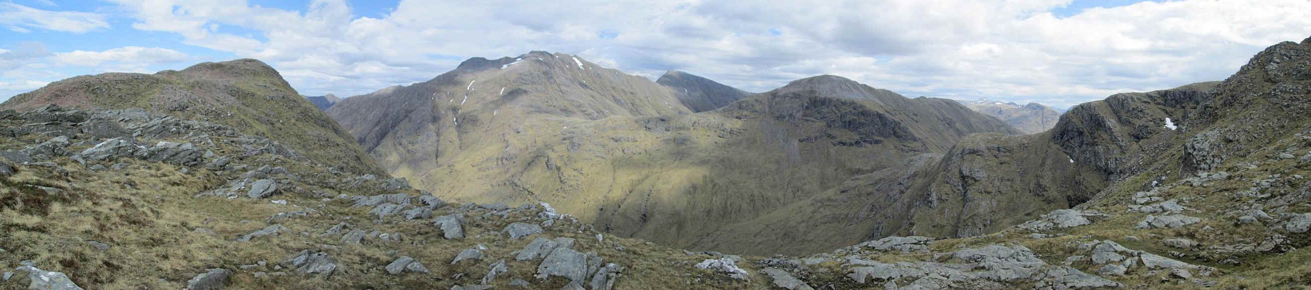
This panorama stretches from the west to the north and shows the Appin hills on the left and Ben Nevis on the right. (Click on the photo for a larger image)
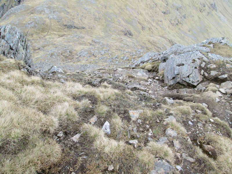
After another break for "afternoon tea" it was quite a scramble down to the bealach on the heavil eroded path.
I decided that the best way down to the glen was to head straight downhill due west from the 798m bealach, as this would avoid the worst of the gullies and also get me onto the clear valley path for a more pleasant walk.
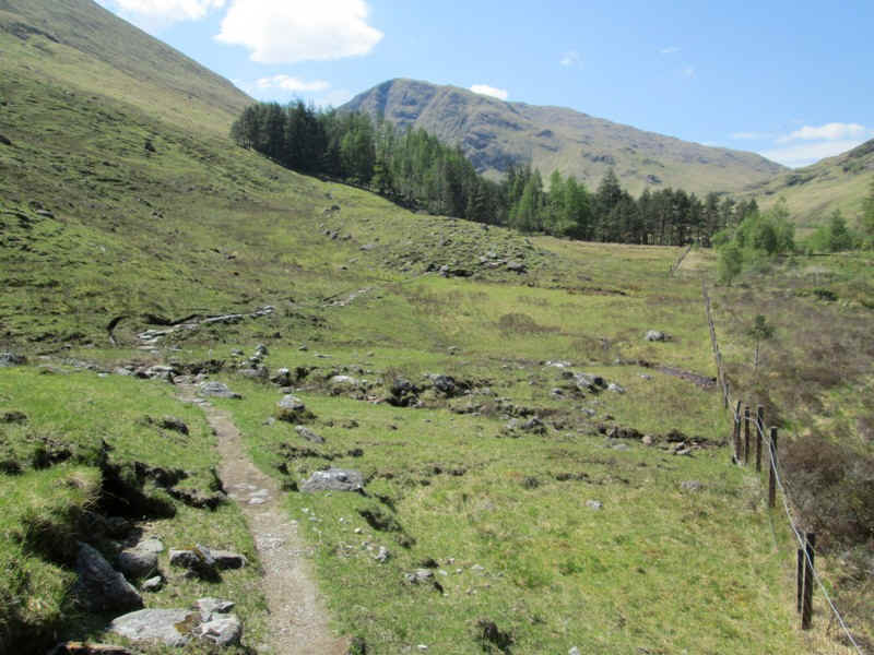
Looking back to the 798m bealach shows that the terrain is relatively easy.
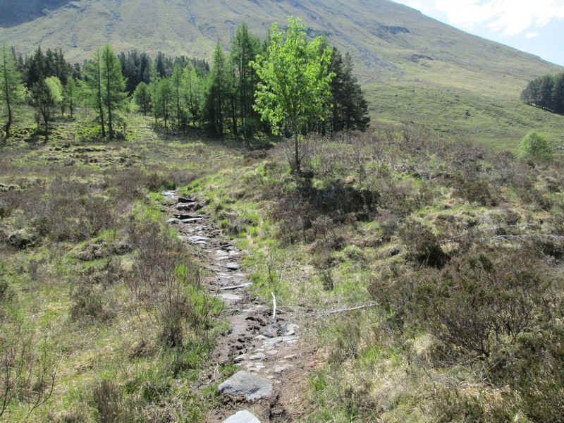
Almost down in the glen ...
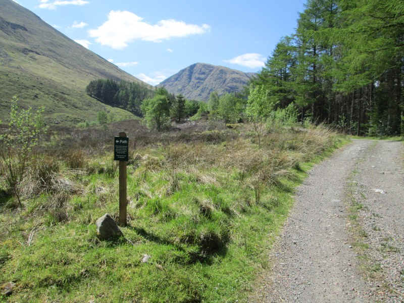
...where there's a rough path that comes down from the head of the glen.
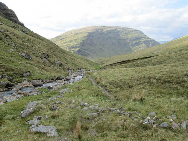
What better way to end a walk but a good path along a stream on a sunny evening?
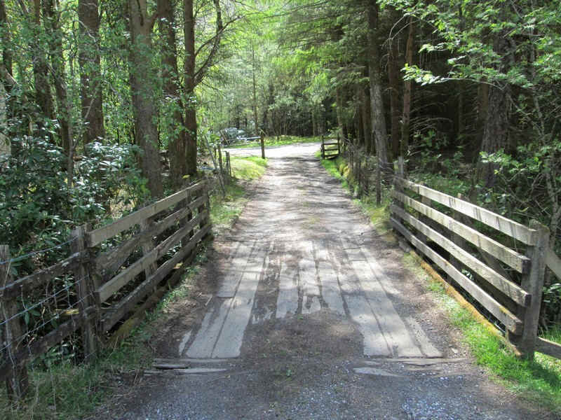
After a mile or so the edge of the plantation is reached and it's just a case of heading back down to the A82, and then take a right turn along the verge for about a kilometre. From the car park at NN127564 there's a new path and footbridge that leads across the River Coe to the Clachaig Inn which is where I would spend the next two nights.