Sgurr nan Coireachan (Glen Dessary)
In August 2019 I planned another visit to Fort William with several Munros on my target list. However, there had been a considerable amount of rain in the preceding weeks and the forecast was for more rain and high winds so my plans were scaled back to climb just this one Munro at the head of Loch Arkaig as well as three Corbetts.
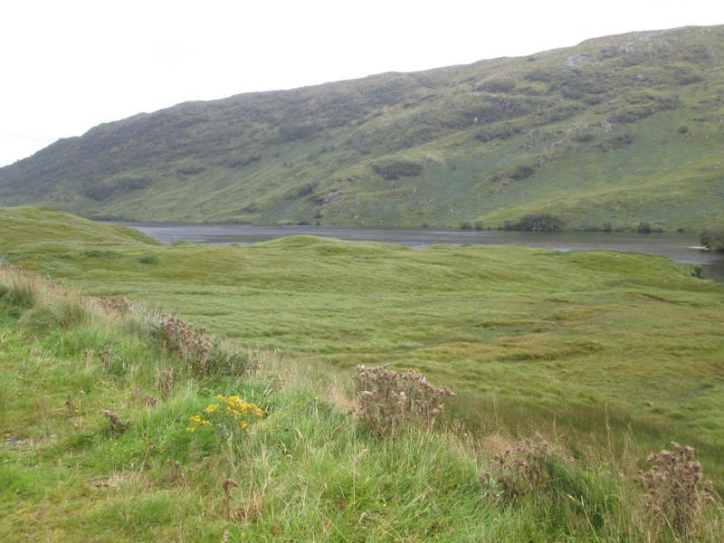
The day started with an incredible 15 mile road journey along the shores of Loch Arkaig which, in many places, resembles a fair ground switchback with the road disappearing out of sight at the crest of the rise. Progress is necessarily slow.
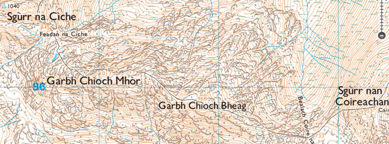
The map shows, in addition to the usual GPS waypoints, some blue markers where my SPOT personal tracker did not record my position due to being in dense forest with poor GPS reception. Click on the square in the top right corner to see a larger map.
The walk starts at the head of Loch Arkaig at a small car park near Stratharn where the paved public road ends...
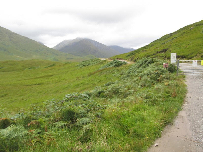
....and a locked gate leads onto the estate roads up Glen Dessary. A map shows where the areas used for stalking are together with the note that the normal ridge hiking routes up the three Munros at the head of the glen are always open.
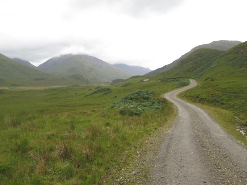
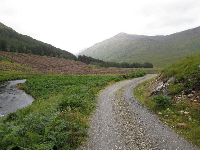
The estate road heads off away from the loch....
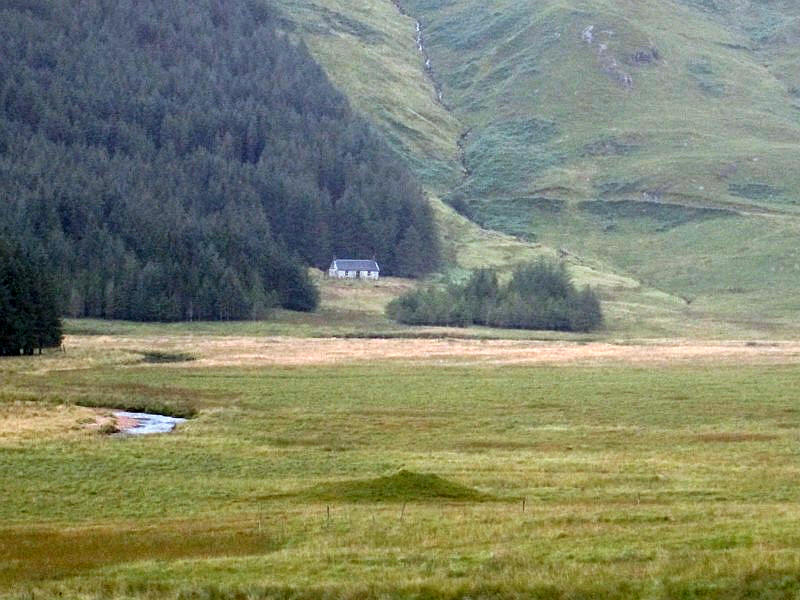
....and climbs above a house at Strathan. Beyond is the Glenfinnan Munro Sgurr Thuil and to the left the Corbett Streap.
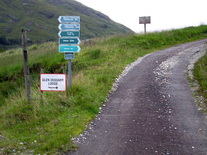
Just above the house is a junction with the right hand road leading up towards Glen Dessary Lodge. The left hand road goes through the forest and is the way I used on my return.
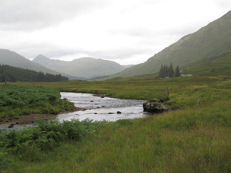
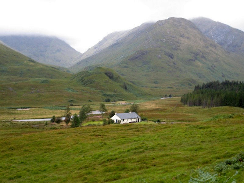
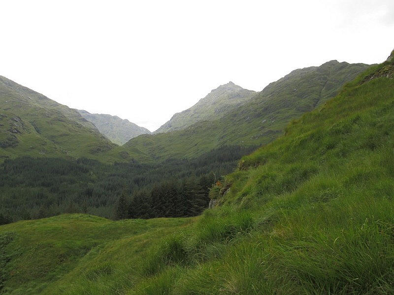
Looking up Glen Dessary with the modern lodge building visible up the hillside.
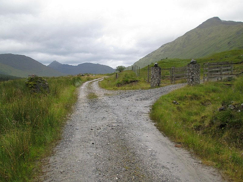
Once past the gates to the lodge the track becomes a little rougher.
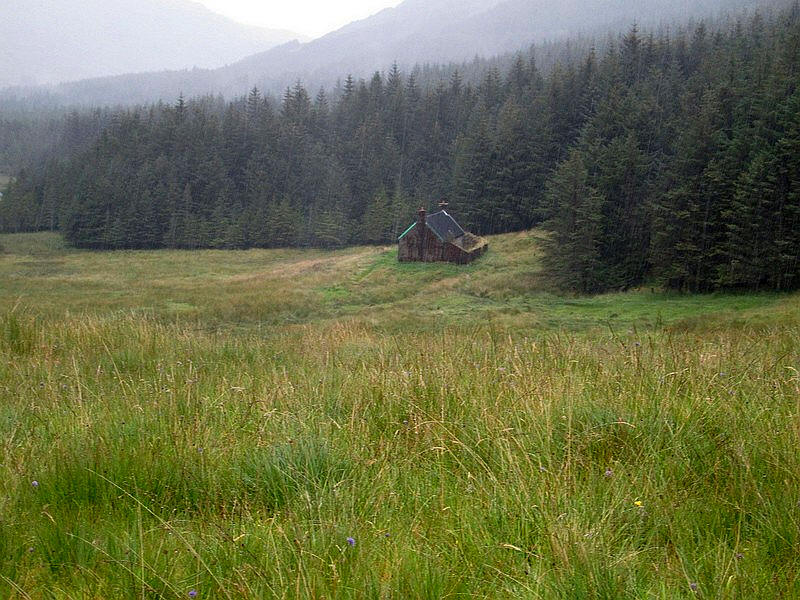
Seen across the valley floor is A 'Chuil bothy.
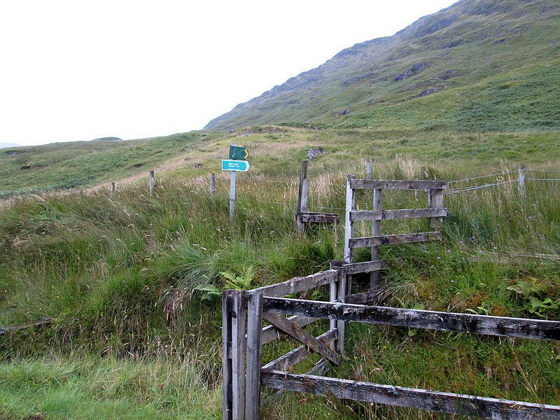
Just before the buildings at Upper Glendessary the footpath towards Inverie goes off to the west .....
...climbing above a plantation on a rather boggy path.
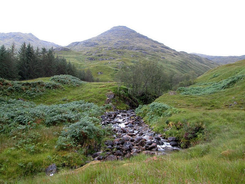
As it climbs the first view of the lower slopes of Sgurr nan Coireachan appears.
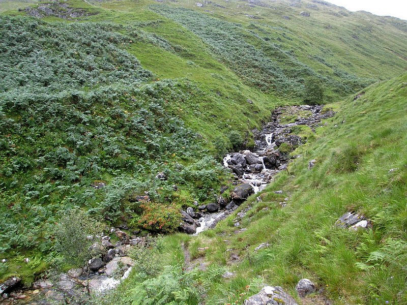
But first the Allt Coire nan Uth has to be crossed. The path leads down to a ford but as there was a lot of very deep and fast flowing water I decided not to attempt to cross it here. Initially, I thought this would be the end of my walk but on the "Walk Highlands" website and their Munro guide a reference is made to a bridge.
"Continue on the path to reach the larger Allt Coire nan Uth. This could be difficult to cross but there is a bridge which is hard to spot at first."
Now, that isn't very helpful is it!!
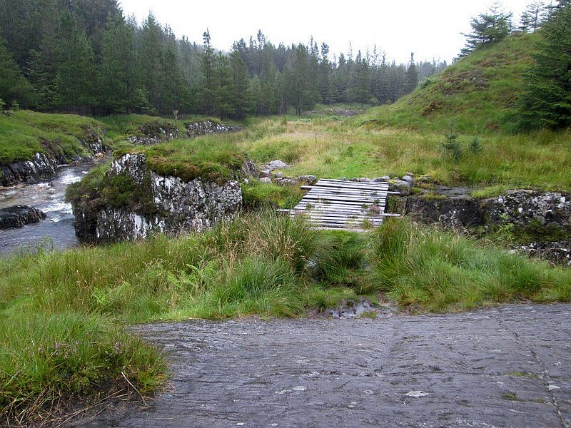
Not wanting to be defeated I decided the only place where a bridge could be would be downstream...
... and fortunately slightly downstream at NN 93109 93717 there is a bridge...
....although it is not in the best of condition.
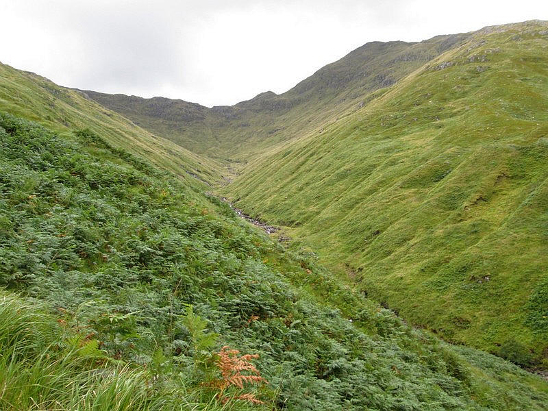
Looking back up the stream to the end of the ridge of Sgurr nan Corrieachan.
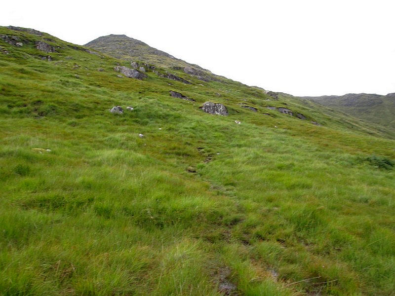
After returning to the ford a tiny cairn on the main footpath marks the start of the path up the hill.
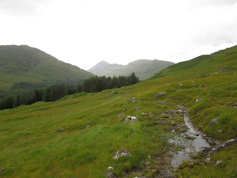
Looking up the glen towards the Bealach an Lagain Duibh and the way over to Inverie.
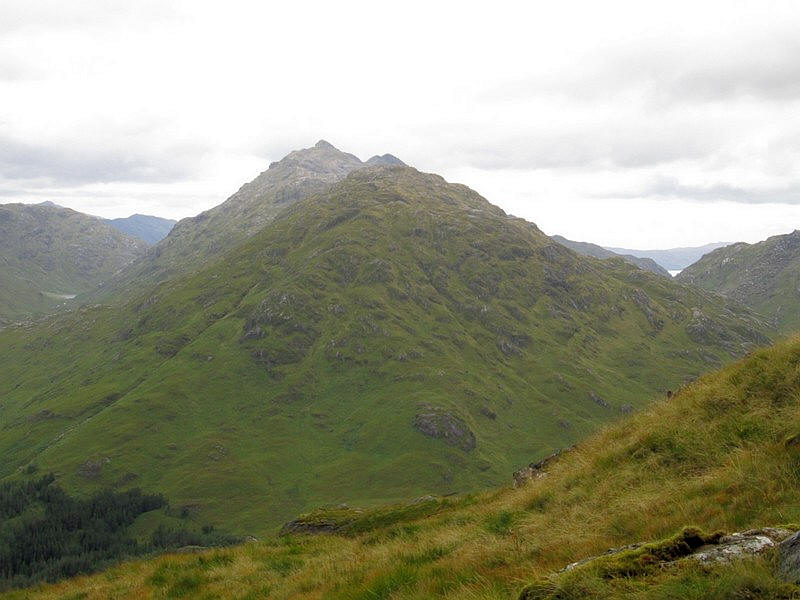
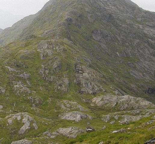
Sgurr nan Coireachan is often climbed with two other Munros - Garbh Chioch Mhor and Sgurr na Ciche. The pointed summit of Garbh Chioch Mhor can be seen on the right.
It had never been my intention to try to climb all three hills in one go as I hadn't got the time (or stamina!) to do so.
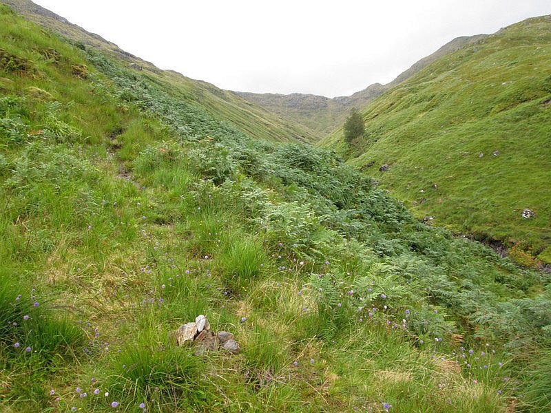
Looking up the Allt Coire nan Uth into Coire nan Uth.
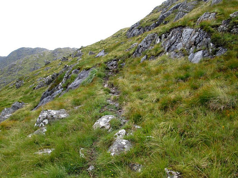
There is a fairly clear path up the hill for most of the way but it is a steep and relentless climb with a 753 metre in 1.98 km - an average gradient of 1 in 2.6.
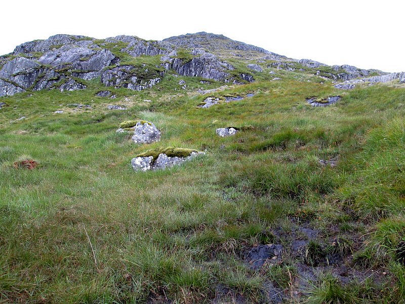
Initially much is on grass but rocky sections have to be avoided.
Looking back into Glen Dessary. Two other walkers, the only people I saw all day, were just behind me and were backpacking from A' Chuil bothy to another bothy in Knoydart but were going over the tops of the other Munros. They gave me some useful advice about the return walk.
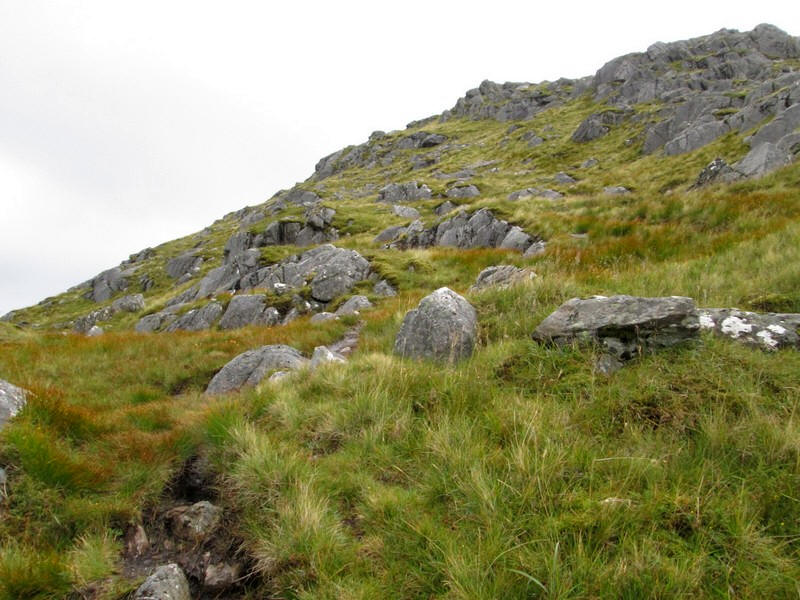
The climb continues with the path weaving around rocky outcrops.
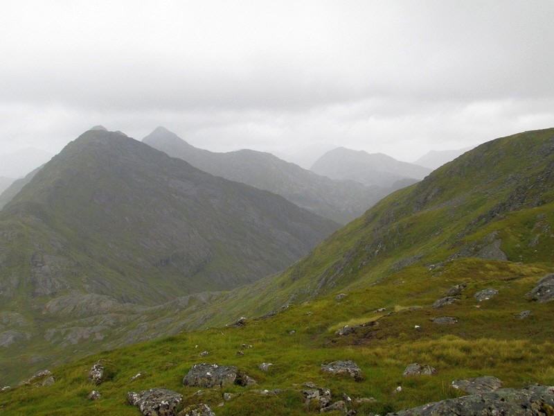
Over to the west the other summits in this group of hills come into view. Garbh Chioch Beag (not a Munro even though it is 968m) then Garbh Chioch Mhor (1013m) and just visible Sgurr na Ciche (1040m). Over to the left is Lochan a'Mhaim by the path to Inverie.
The path now goes along the side of the ridge to avoid crags.
Over to the north west the waters of Loch Hourn, a sea loch off the Sound of Sleat can be seen.
Onwards and upwards.
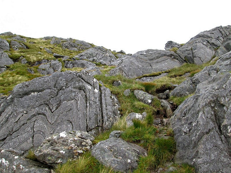
Some interesting rocks with tightly folded strata.
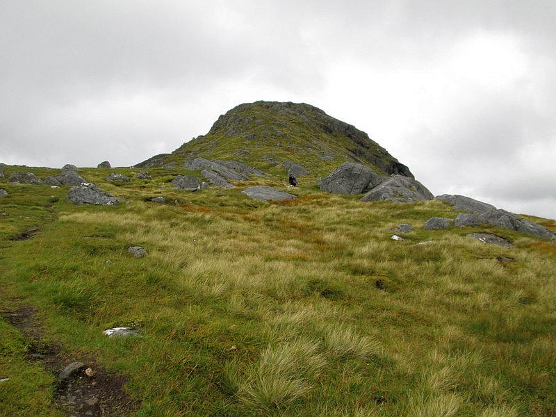
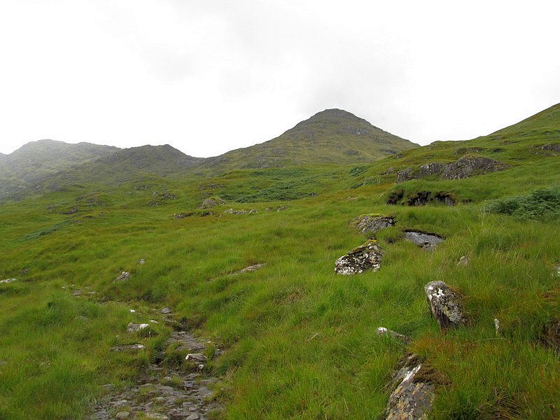
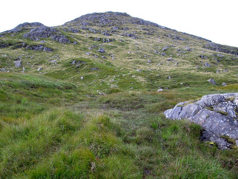
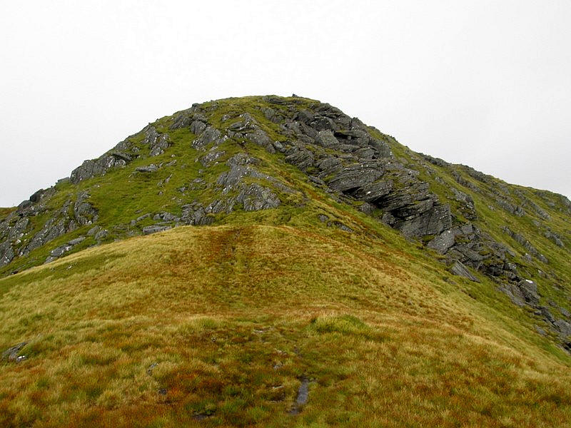
Ahead is the first summit of the hill at just over 900m. At this point it became obvious that the weather was deteriorating with stronger winds and rain so, before going further, it was time to put on more clothes and full waterproof gear.
Over to the west is Garbh Chioch Beag and....
.....the stone wall that was built to run along the entire ridge.
Note the continuous black line on the map.
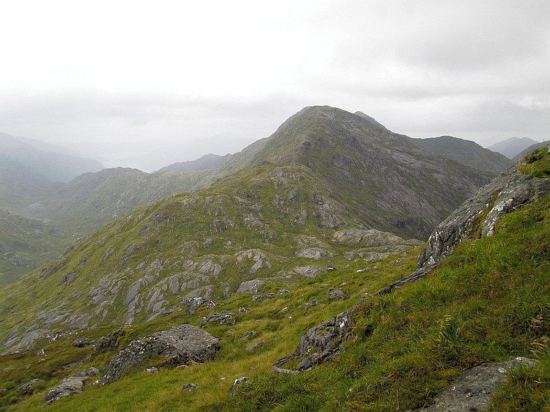
Having gone over the first summit the path drops slightly to a coll...
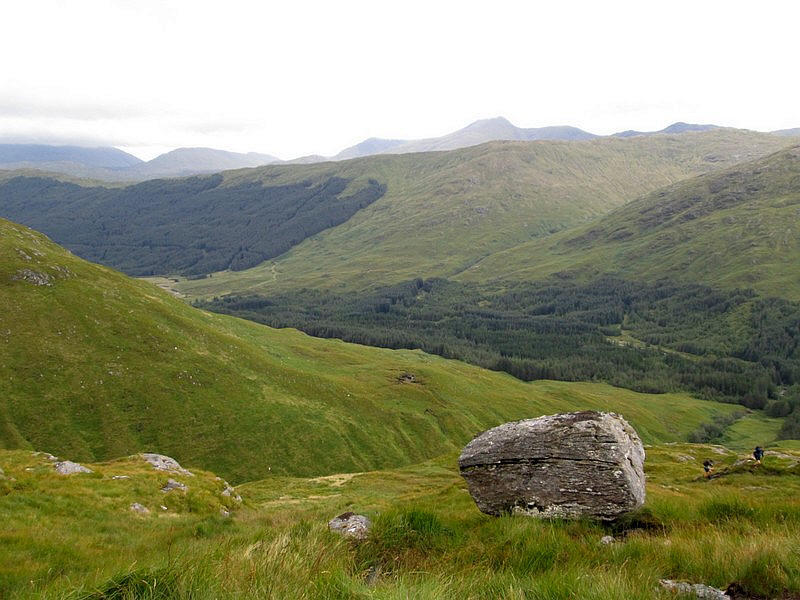
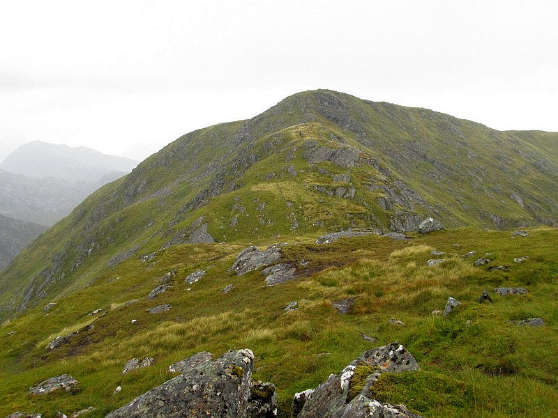
...and I can now see the drop down to the Bealach Coire nan Gall that is on the next stage of the ridge walk to the next two Munros in this group. The triangular shaped summit in the centre is Sgurr na Ciche, the highest of the three hills.
The final pull up to the summit....
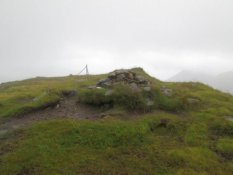
.....leads to a small cairn at 953m and, sadly, rather poor views. Sgurr nan Corrieachan was my 190th Munro and had taken 4 hours and 15 minutes slightly longer than expected, mainly due to the problems finding the bridge and poor conditions on the wet path.
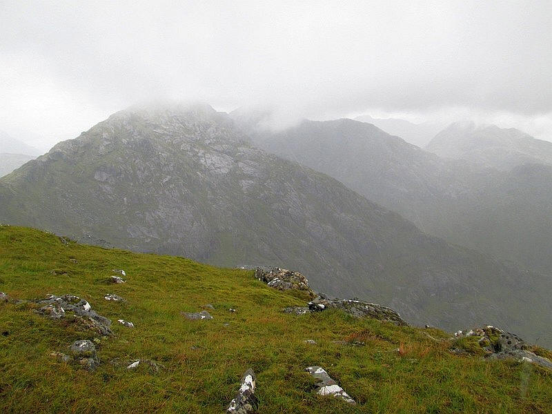
Garbh Chioch Beag's summit is just visible but both Garbh Chioch Mhor and Sgurr na Ciche are cloud capped, but at least I've seen them earlier.
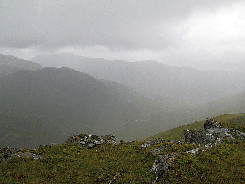
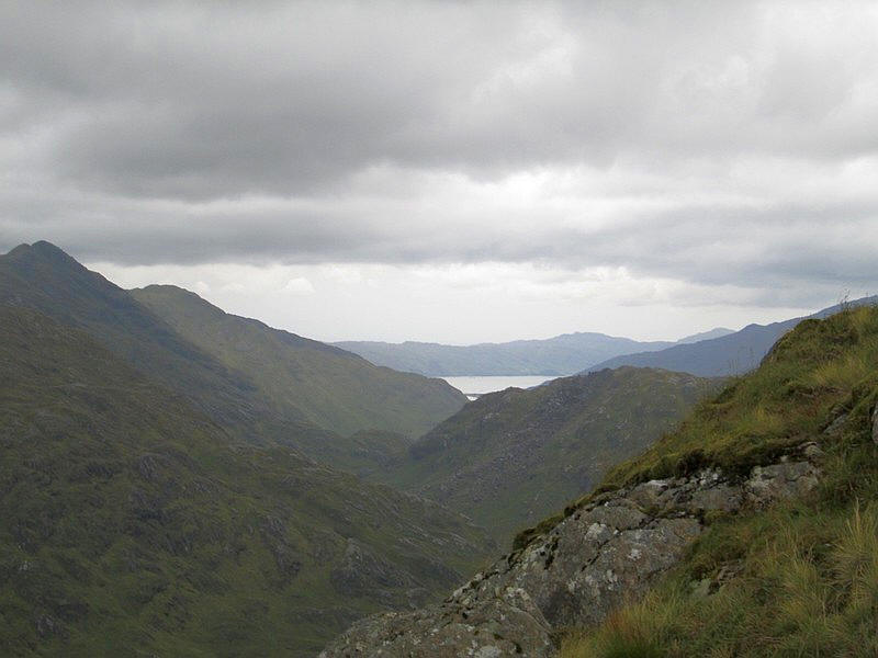
Looking down Coire nan Gall towards the western end of Loch Quoich which is hidden in the mist.
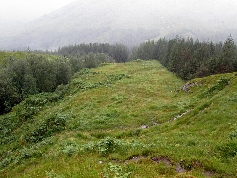
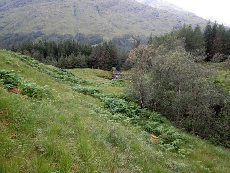
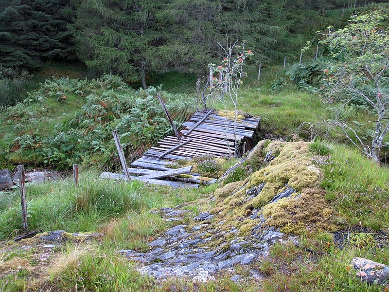
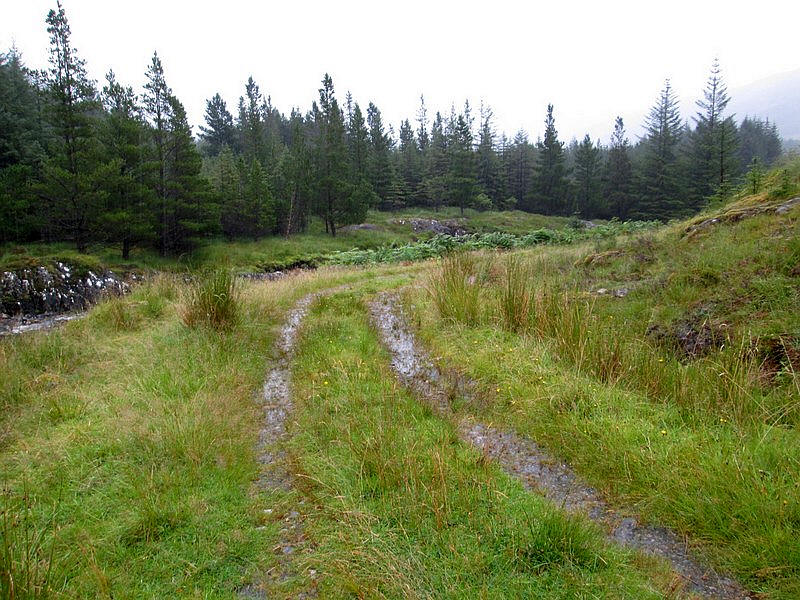
Returning to the glen I decided to take a different way back to the car park on the recommendation of the couple I'd spoken to earlier. Instead of going back along the boggy footpath I went down to the footbridge ....
...and then along the rough track through the trees....
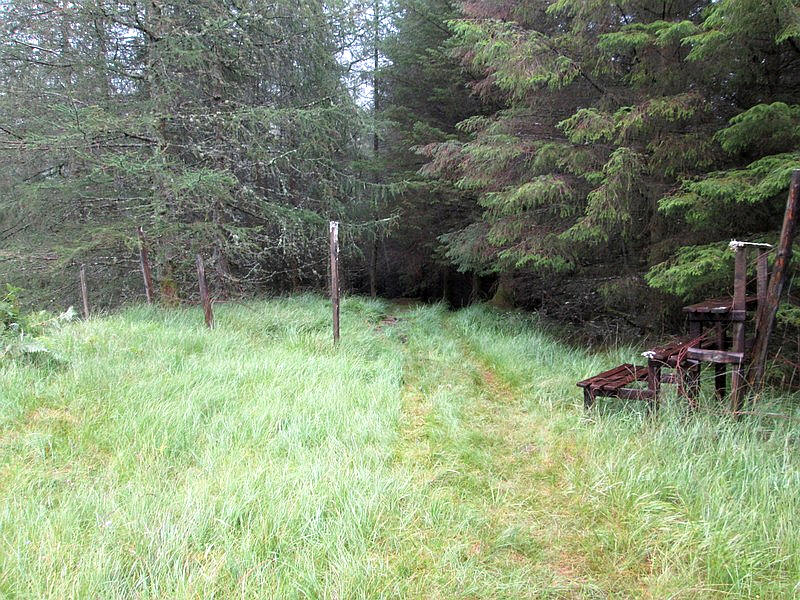
.....to reach a bridge across the |River Dessary at about NN 930 934.
It is a good forest road and has no streams to cross as they all go under the road in culverts so it is easy to build up speed. I probably saved about 20 minutes compared to using the path even though it is slightly further.
A' Chuil bothy
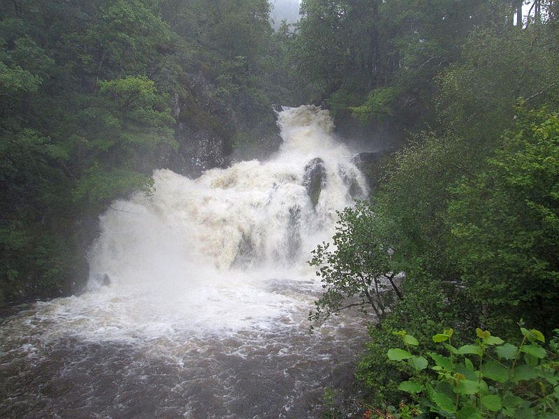
As I drove back to Fort William and crossed a bridge at Muick, near the eastern end of Loch Arkaig, I noticed spray blowing across the road. As can be seen the Allt Mhuic was in full spate.