Stob Coire Creagach
The map above shows my approximate route as my SPOT personal tracker failed to record my position as it wasn't located correctly in my rucksack.
It's late May 2023 and it's my first hill walk in Scotland since August 2022. A combination of various factors - rail strikes and bad weather - meant that several visits planned for autumn 2022 were cancelled.
I'd also had a lot of problems over the winter with muscle pain in my left leg, sorted out I'd hoped by physio therapy and exercises. For my first walk of the year I didn't exactly chose an easy one!
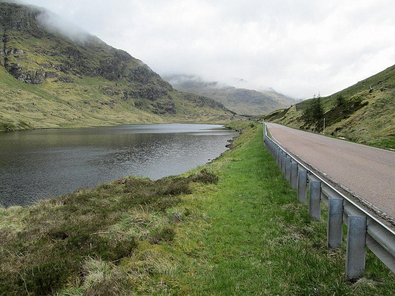
I caught the 06:10 Glasgow to Campbeltown bus to Rest and Be Thankful and set off at 07:50 along the verges of the A83 past Loch Restil.
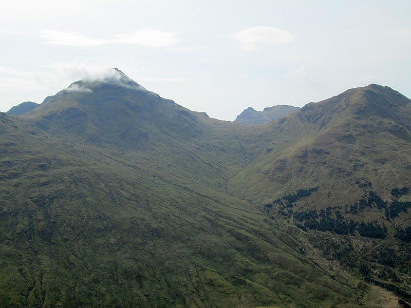
Looking back to the Rest and be Thankful with the slopes of Beinn an Lochain on the right. At 901m this is almost a Munro and a hill I hope to climb in the future.
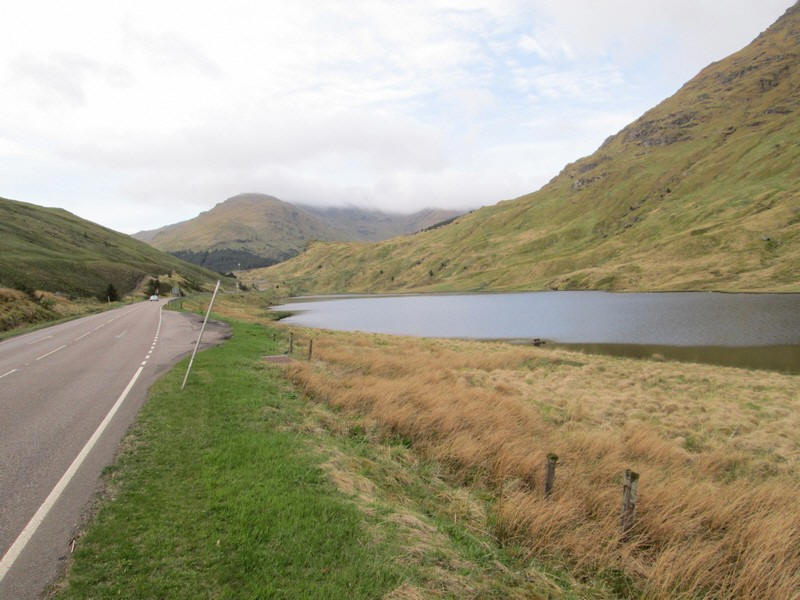
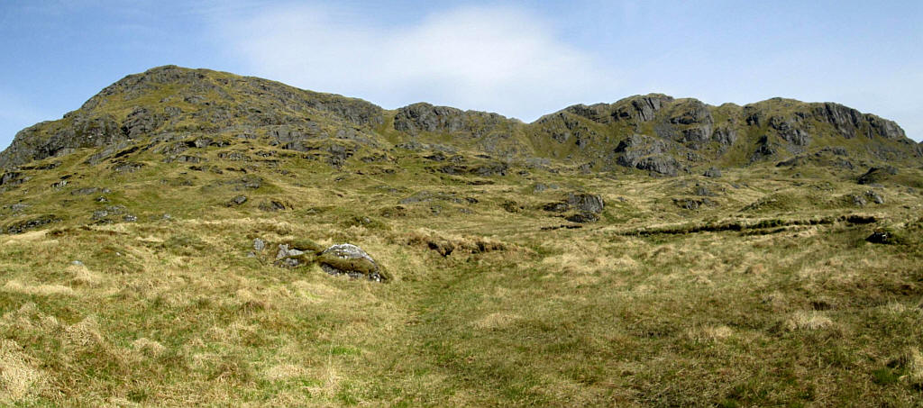
Directly ahead is my target hill the Corbett Stob Coire Creagach which is also known as Binnein an Fhìdhleir. I deviated from the road to investigate the track at start of the climb up to Beinn an Lochain which crosses the outflow from Loch Restil. Provided it's not in spate it shouldn't be a problem.
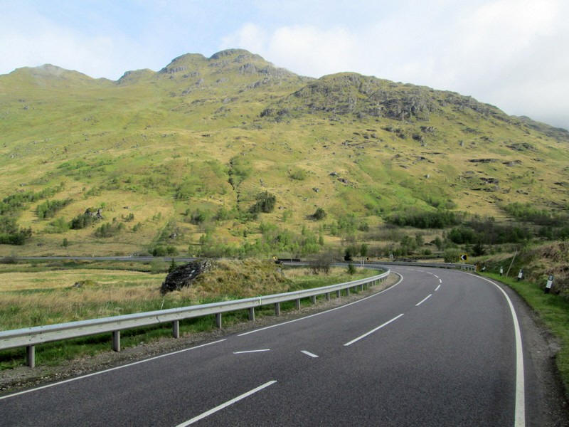
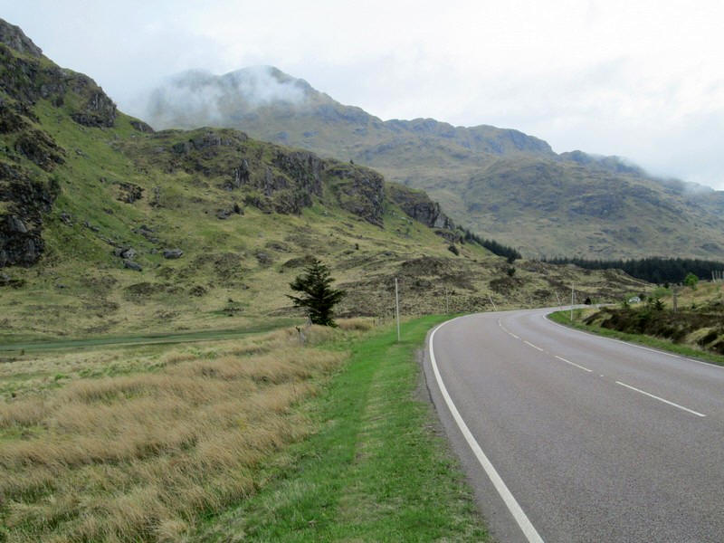
About 30 minutes walk finds me approaching Butterbridge where the road makes a right angle bend to head down into Glen Kinglas. The road markings are for motor cyclists to position themselves on this dangerous section of road.
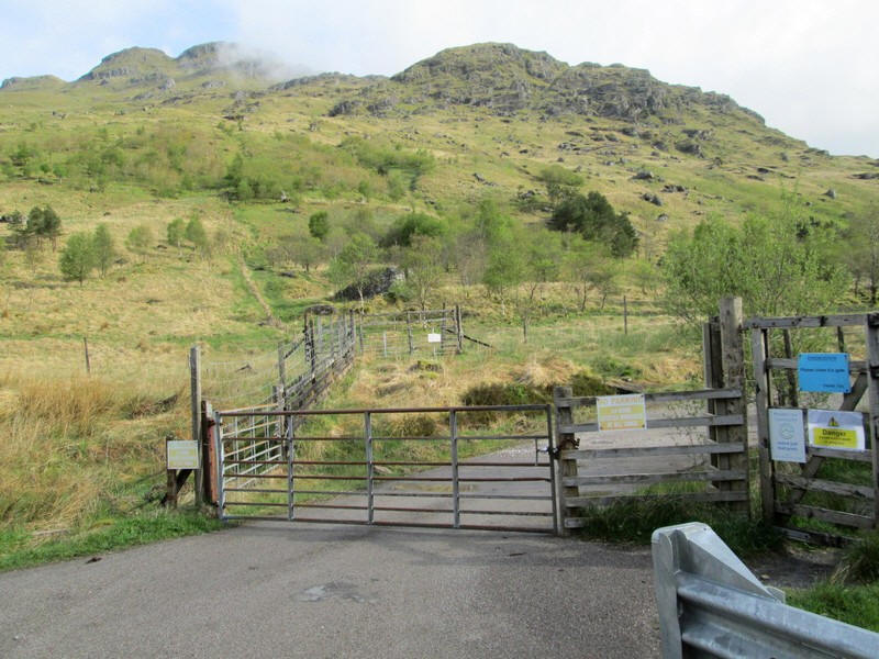
I start the climb at 08.30 by going through the pedestrian gate at the end of the estate road that goes up Glen Kinglas. Curiously there is a short length of deer fence by the gate which you have to go around before going to the second gate in the picture above.
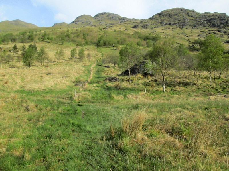
There's a faint and boggy path which climbs by a fence....
...before cutting diagonally across to a ladder stile which can be seen just right of the centre of the photo.
Looking back down to Butterbridge with Beinn Luibhean on the left and Beinn an Lochain to the right.
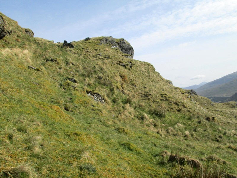
The way ahead is towards that grassy notch to the skyline...
...which allows the crags to be bypassed.
The vague path continues to climb...
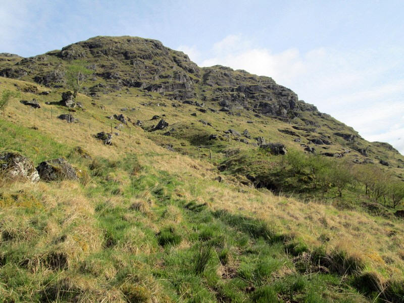
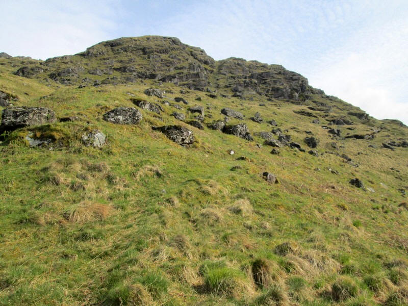
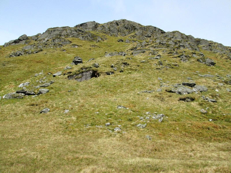
....before reaching this relatively level area in Coire Creagach which has cliffs and crags at its head.
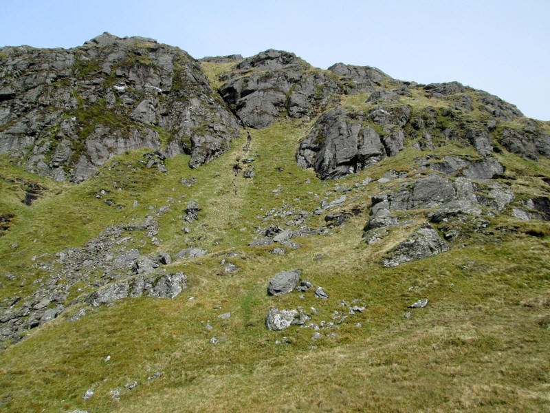
There is a way through the crags although in misty weather I suspect it would be easy to miss. The photo above doesn't really convey the scale of the landscape - it is several hundred feet from the grassy area in the foreground to the top of the crags. The way through is up the grassy rake in the centre and then diagonally up to the right.
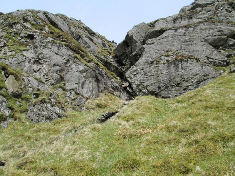
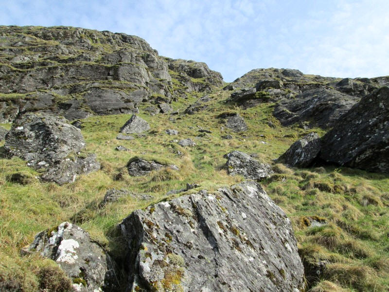
In the centre of the crag is this narrow rock filled gully probably about 70 feet in height. The very faint track ...
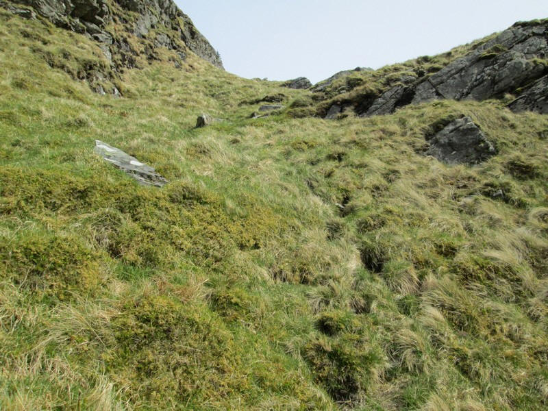
....swings off to the right...
...and this is looking back down hill.
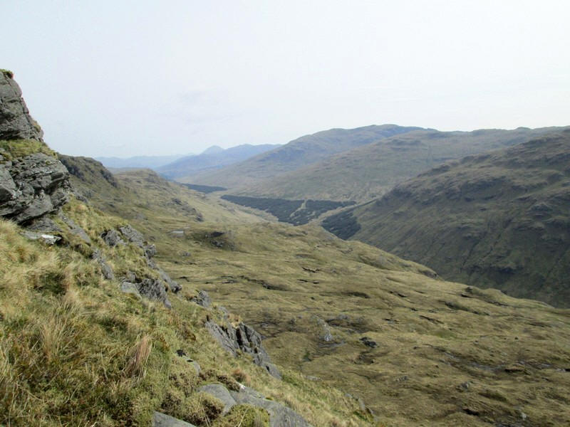
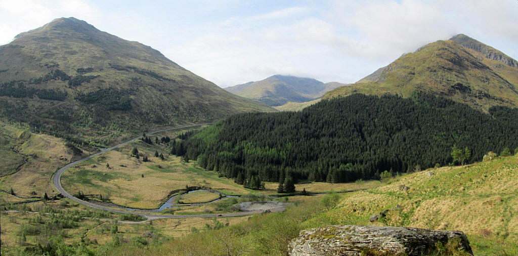
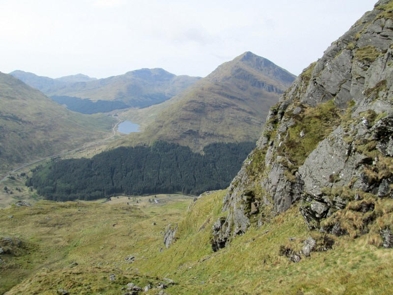
Over to the right is upper Glen Kinglas with a track that leads eventually to Inverarnan at the top of Loch Lomond (although in 2023 it is closed for forestry work.....)
Looking across the Glen to the summits of Ben Ime, The Cobbler and Beinn Luibhean.
The track frequently disappears but there is usually enough evidence of the way walkers have gone to guide you...
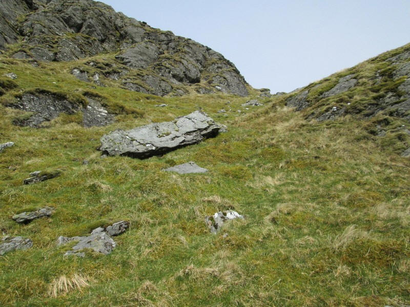
...to yet another grassy rake through more crags.
Eventually the main ridge is reached at the top of Coire Creagach....
...and the track becomes a little clearer as it turns towards the south west ....
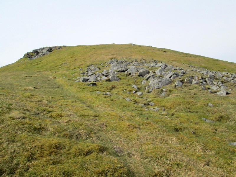
....and the small summit cairn of Stob Coire Creagach (817m). It had taken me about 2 hours from the road, slightly longer than I had expected.
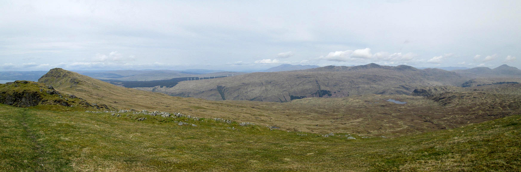
Below are four panoramic images which can be clicked on to enlarge.
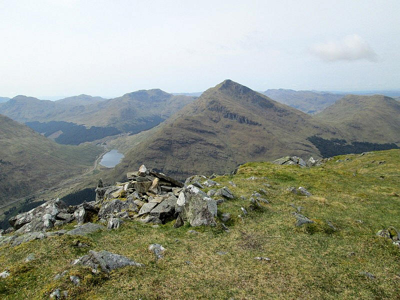
The first one is looking along the ridge towards the second summit of Binnein an Fhìdhleir(811m). Beyond the waters of the sea loch Loch Fyne can be seen. I had thought about doing an out and back walk to the second summit but decided that a long lunch break and time to absorb the mountain atmosphere without time pressure to get back for the bus would be a good idea.
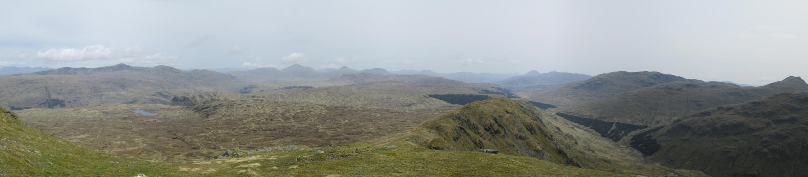
Looking north eastwards with the cast expanse of boggy moorland to the left and Glen Kinglas on the right
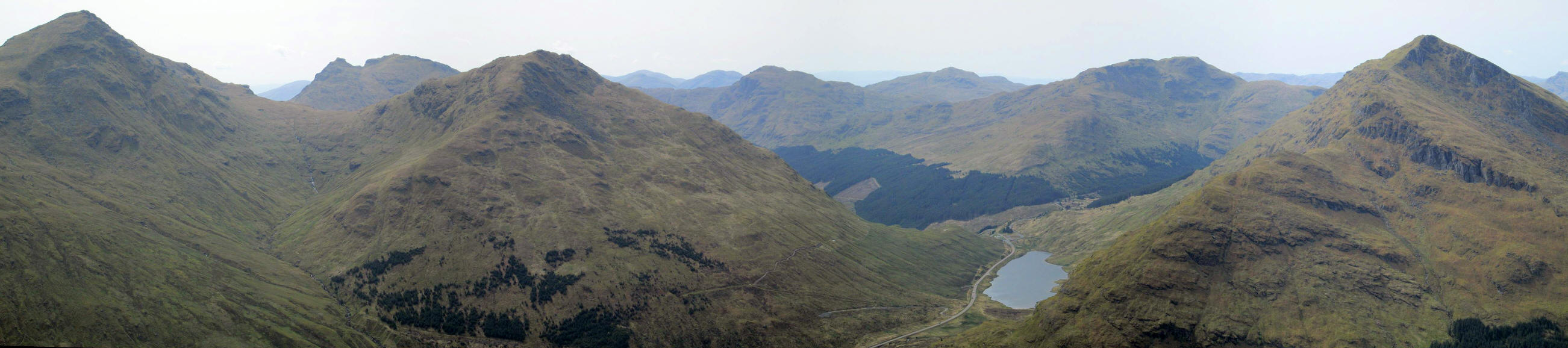
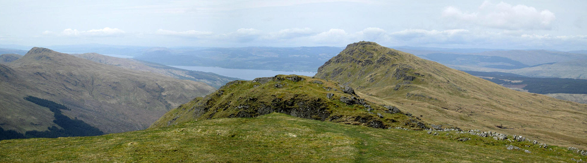
Looking south towards Ben Ime, The Cobbler and Beinn Luibhean on the left and Loch Restil and Beinn an Lochain on the right.
Looking west
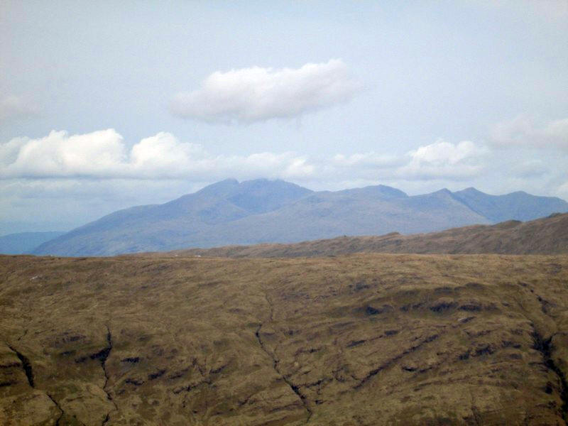
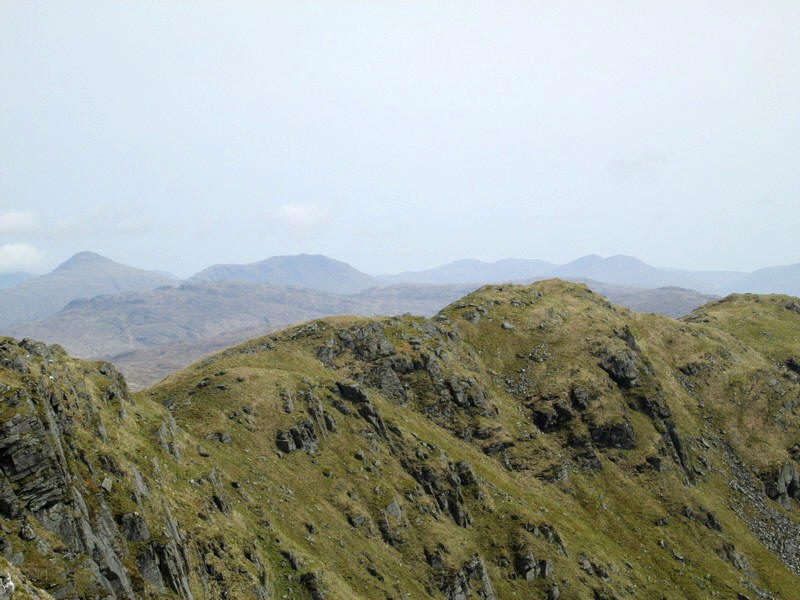
In the distance to the north are Ben Lui, Beinn Dorain , Ben Oss.
I took the descent very slowly to save my knees and was back in plenty of time for the bus back to Glasgow at 14:30.