Stob Coire Sgreamhach
This was my fourth attempt (in July 2018) at climbing this hill!
The first time I had climbed Bidean nam Bian and intended to go on to Stob Coire Sgreamhach and return via teh Hidden Valley route. However, on my way down to to the bealach between the two hills I met some Swiss walkers who told me that the track down into the Hidden Valley had a large cornice on it and they wouldn't be going back down it. Since this was the way I intended to come down off the hill I abandoned that attempt.
The next time I'd taken to the Citylink bus to the Glen Coe visitors' centre (the nearest place that the driver was prepared to stop) and had to walk on the verges of the A82 and then on the various footpaths to get to the start of the walk up the Hidden Valley. The result was that I ran out of time.
On my third attempt there was thick fog and the threat of heavy rain and I wasn't happy about conditions for the difficult section at the top of Coire Gabhail.
On my fourth attempt I was finally successful and with plenty of time and good weather enjoyed the challenge of the climb.
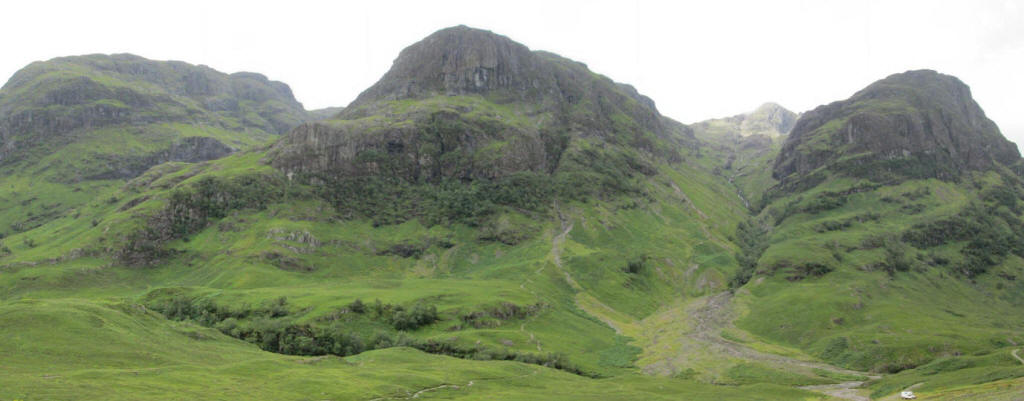
A panorama from the car park at the top of Glencoe shows the group of hills called "The Three Sisters" - from left to right Beinn Fhada, Gearr Aonach and Aonach Dubhh. The route to the Coire Gabhail (often called the "Lost Valley") heads up between Beinn Fhada and Gearr Aonach. In the distance between Gearr Aonach and Aonach Dubhh is the summit of the Bidean nam Bian massif.
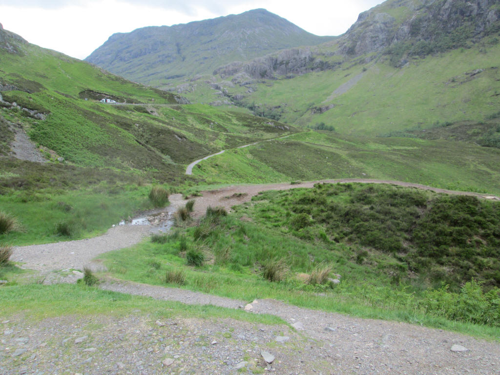
The path from the car park drops down to the River Coe where...
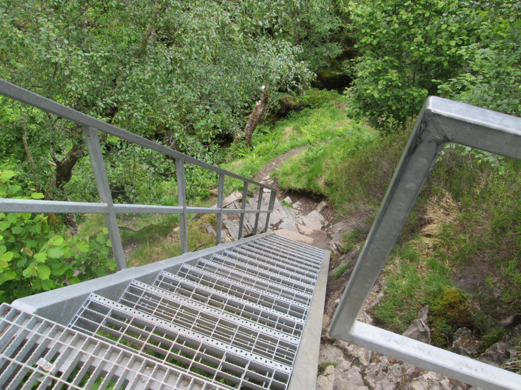
...a metal staircase gives access to...
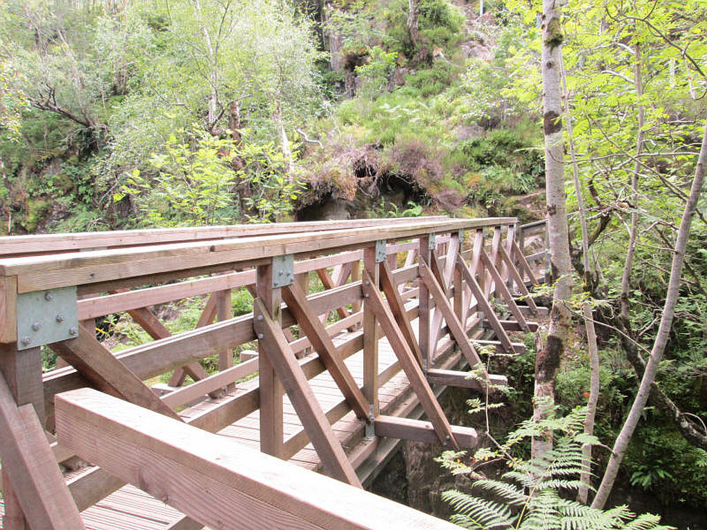
...a footbridge across.....
...the River Coe where reputedly a soldier leapt across it to escape his pursuers.
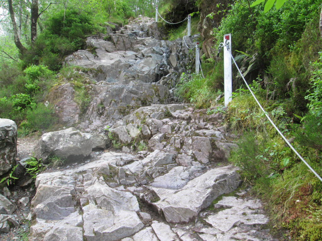
There's a short rocky section protected with a fixed cable..
...before the climb starts under the cliffs of Gearr Aonach.
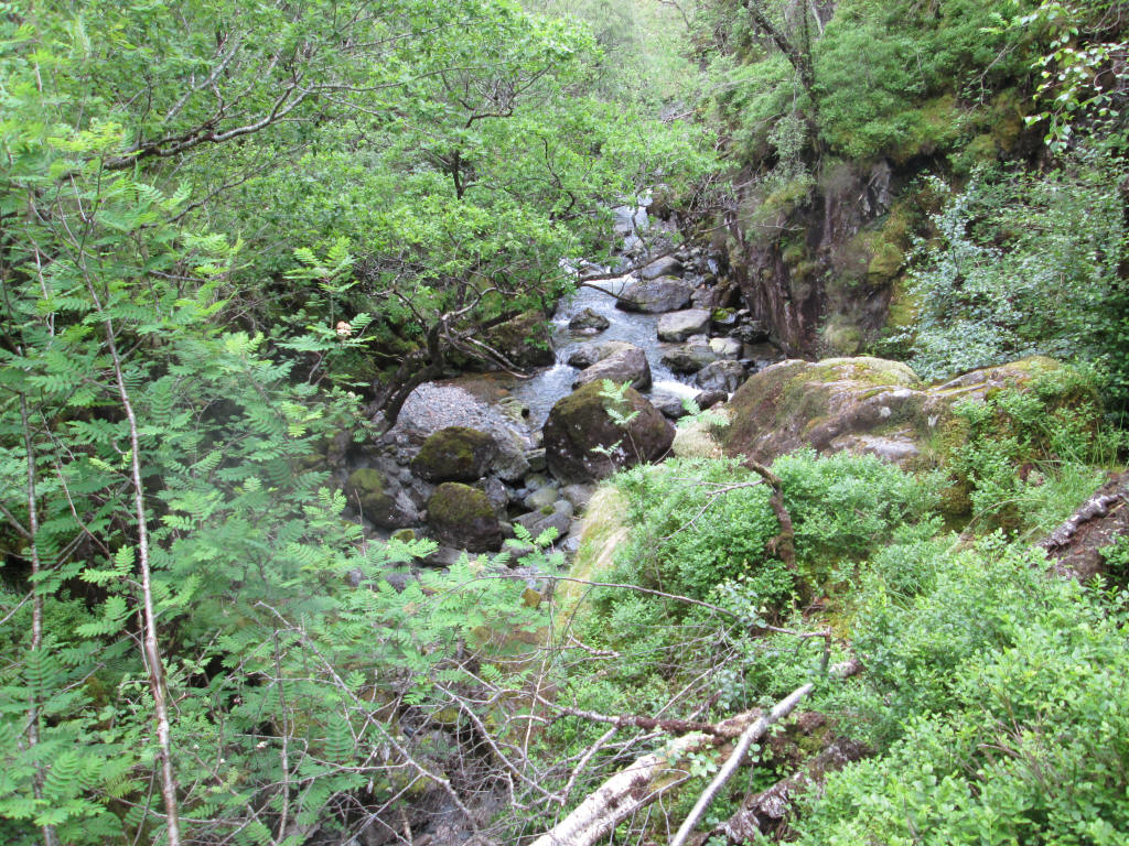
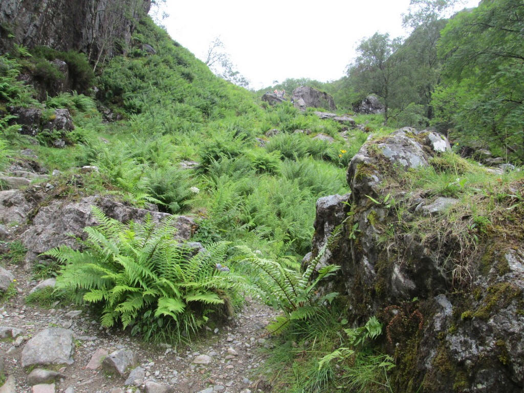
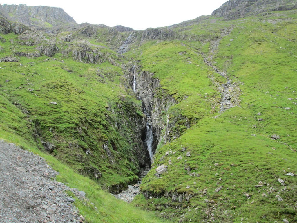
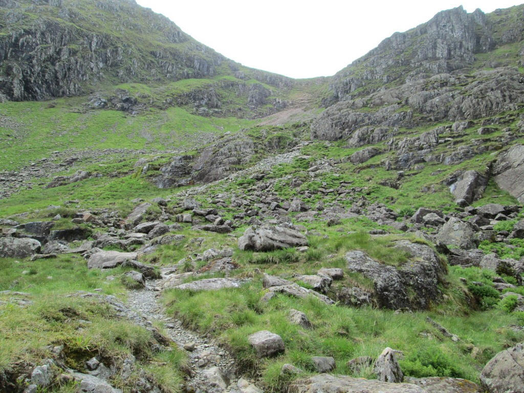
The path climbs into the gorge of the Allt Coire Gabhail and in places is quite exposed.
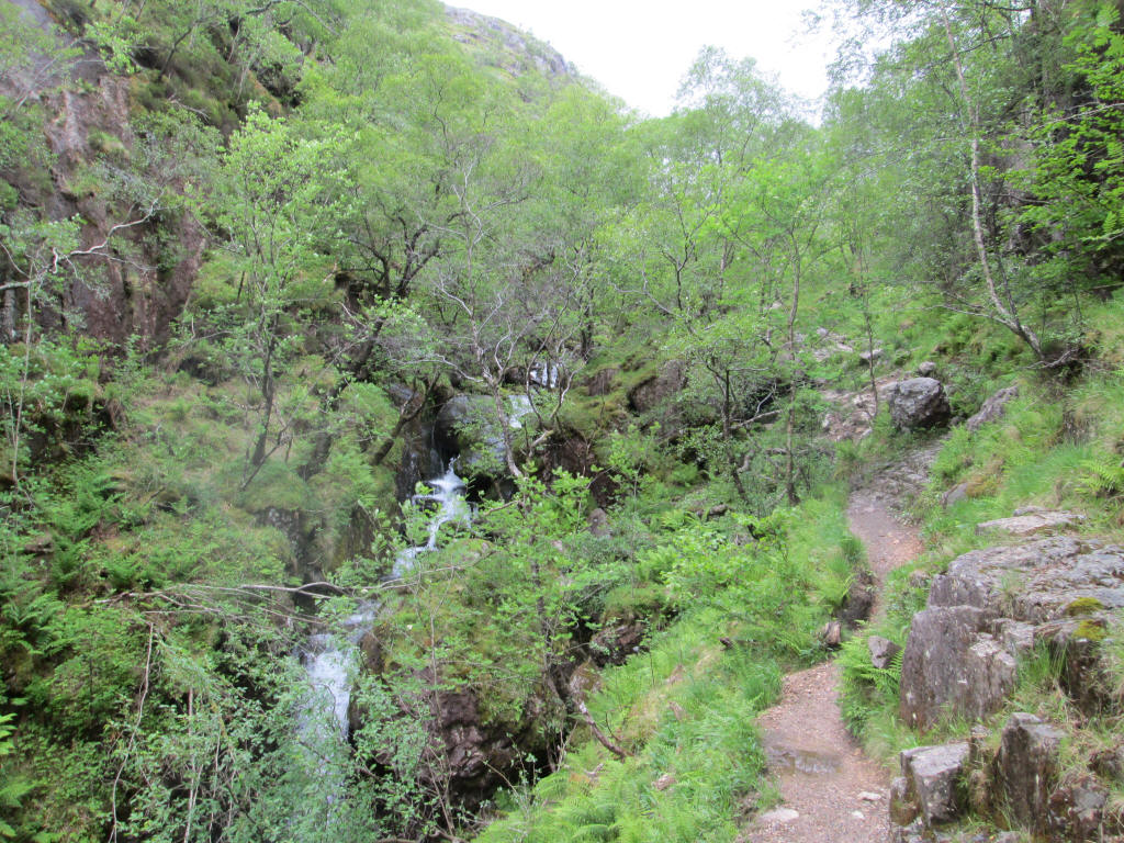
Onwards through the trees and past waterfalls.
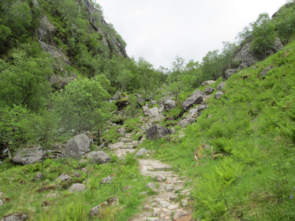
The paths twists through a jumble of rocks with several alternative routes at times.
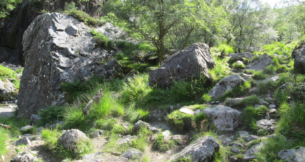
At NN169 558 the path crosses the river. It is very easy to take the wrong track here as many walkers have obviously missed the path off to the left and carried straight on. The path goes down to the river to the left in front of the large boulder.
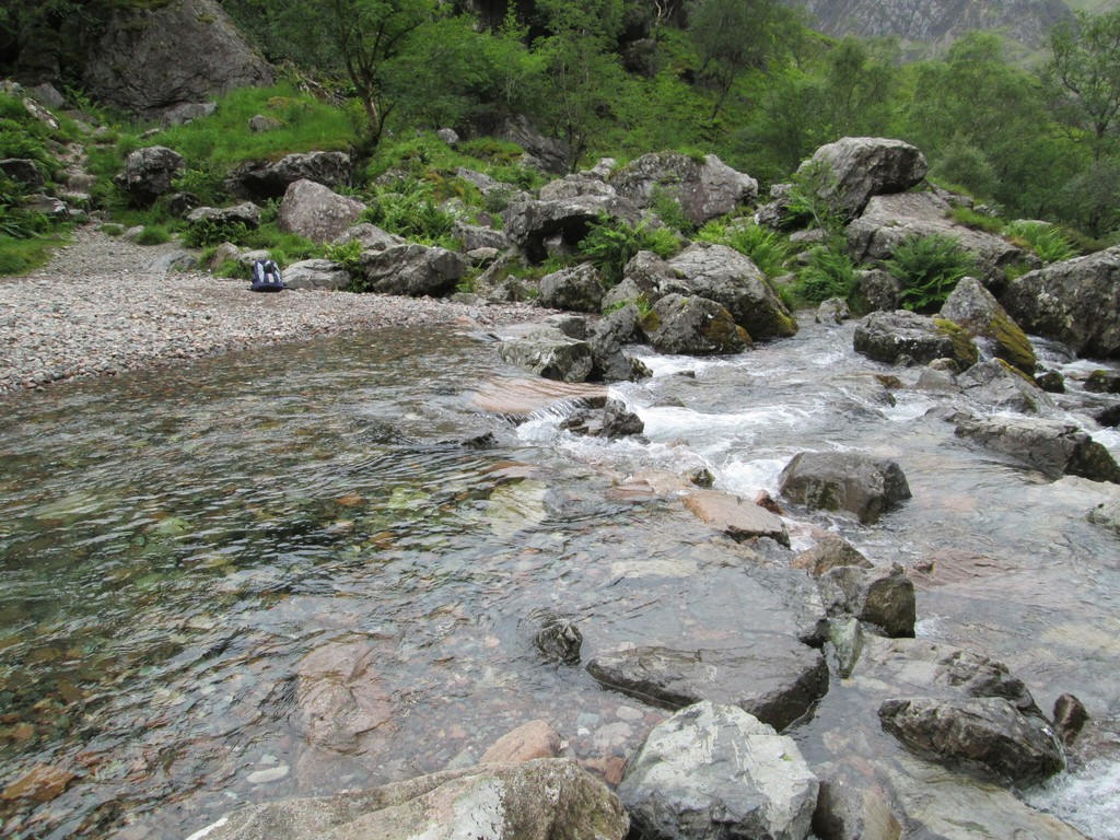
There was more water in the river compared to my previous visits but it was easy to cross dry shod with a lot of flat stones.
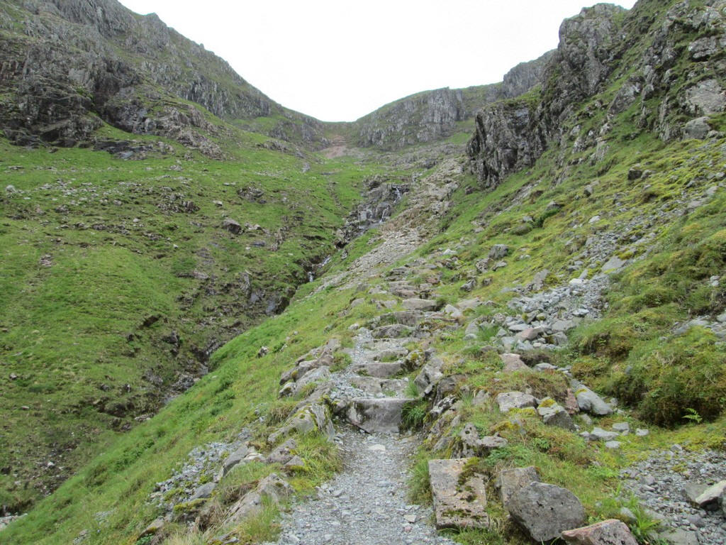
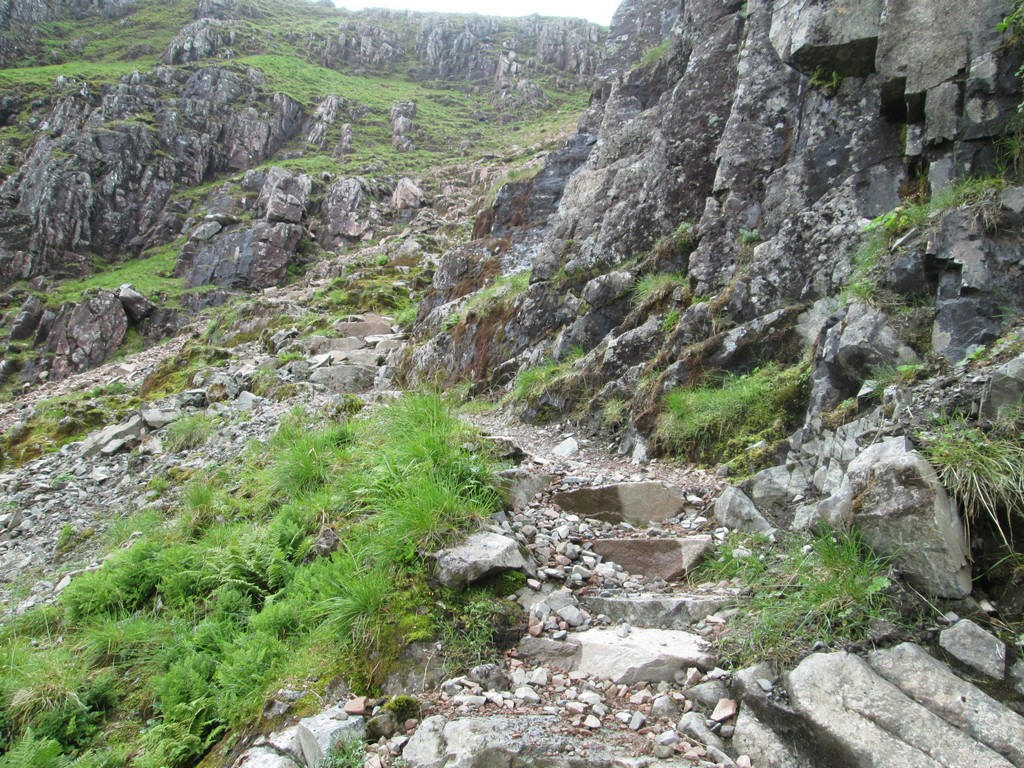
The path now climbs up a staircase....
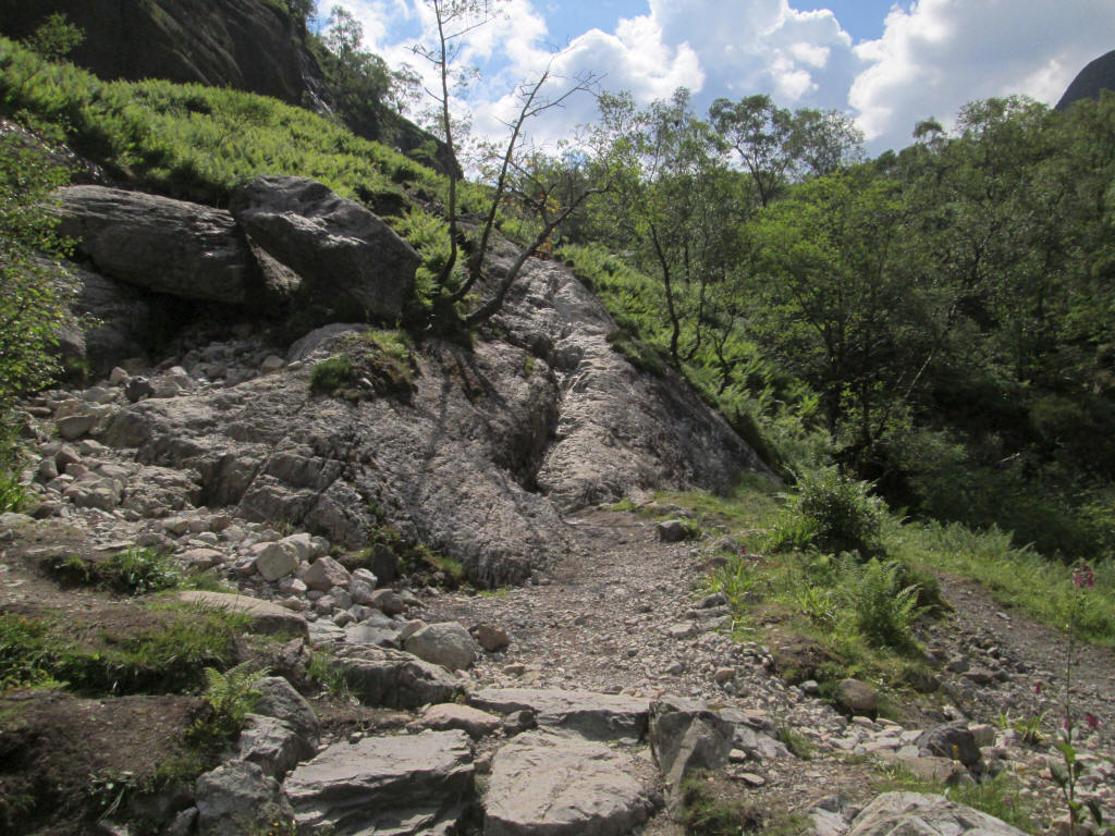
...to reach an "interesting" section with this sloping rock slab that drops down towards the river. Note that this photo was taken on one of my earlier visits.
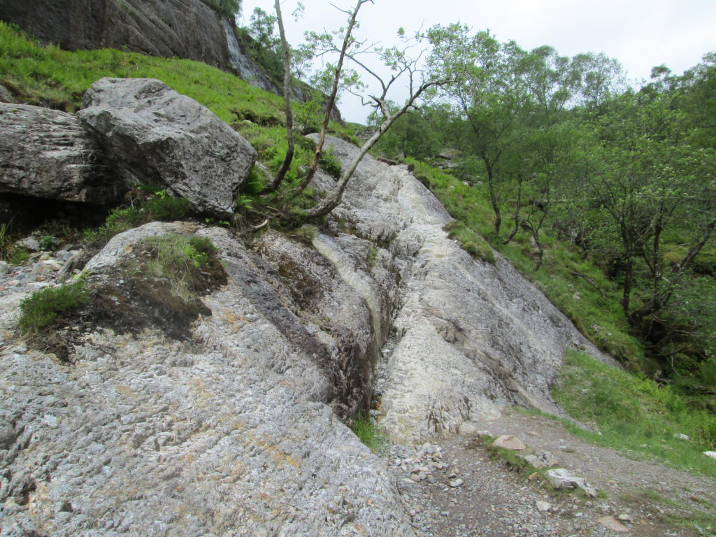
Some people choose to climb up the rocks behind it but there is a groove in the rock about 20 metres long that gives a good foothold although I used my hands to steady myself.
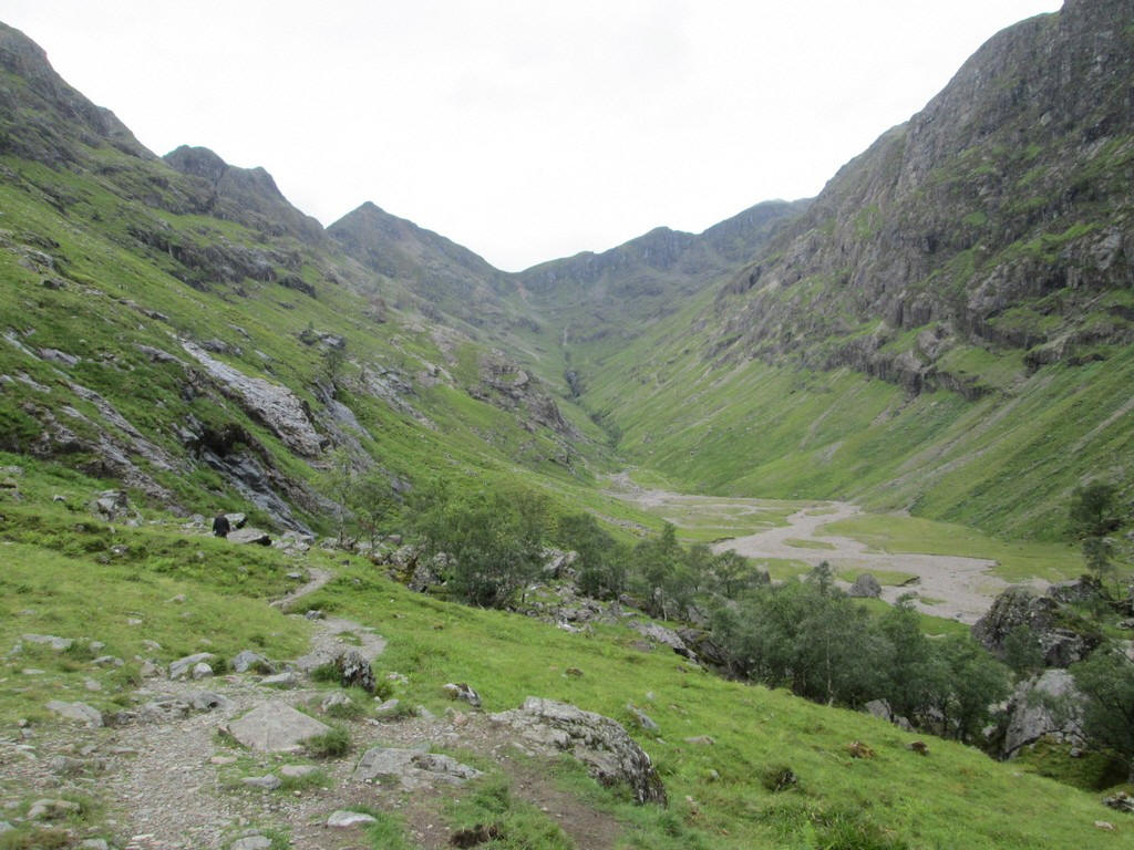
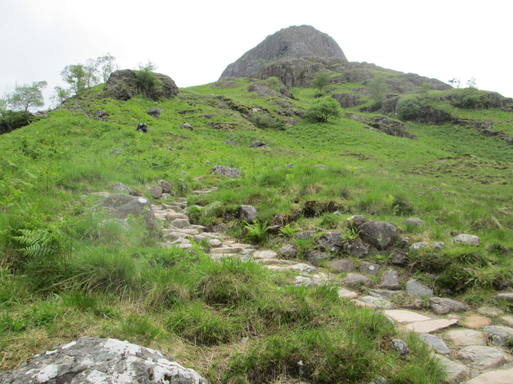
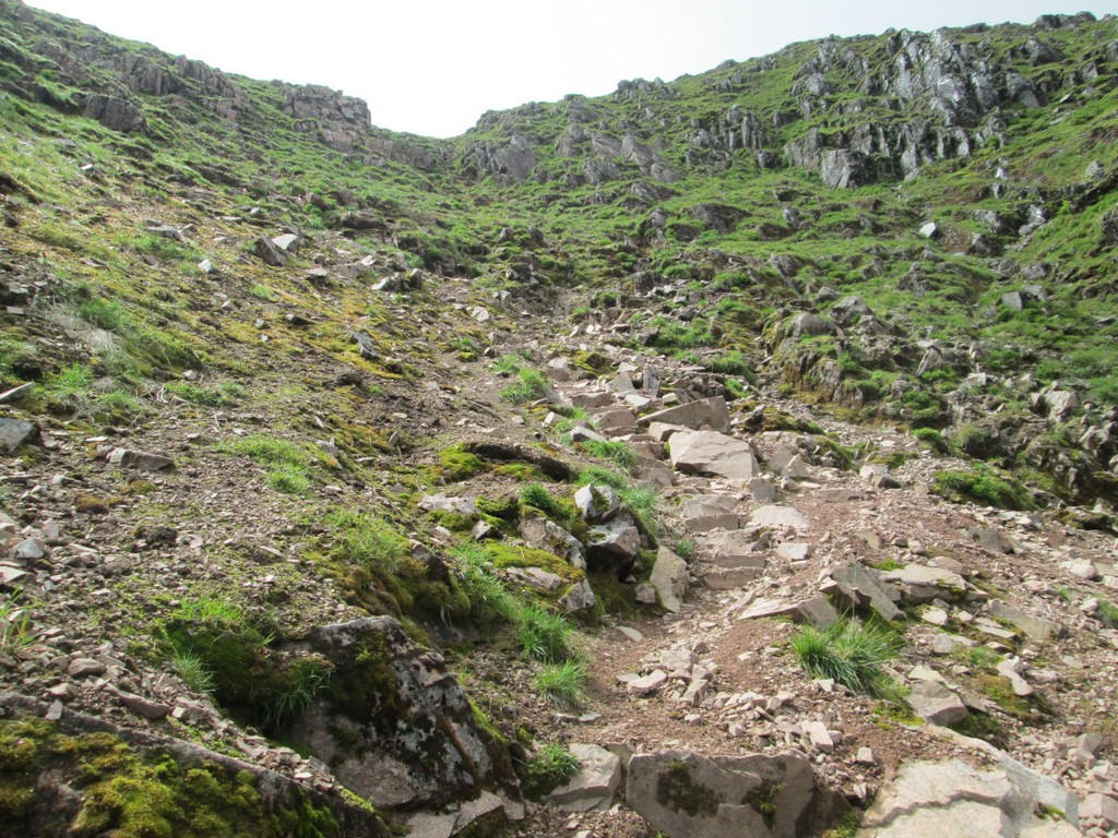
Eventually the climbing is over and the path arrives at this point above the "Lost Valley" with a view down to the flat area in Coire Gabhail. The way forward is straight on to the low point on the skyline.
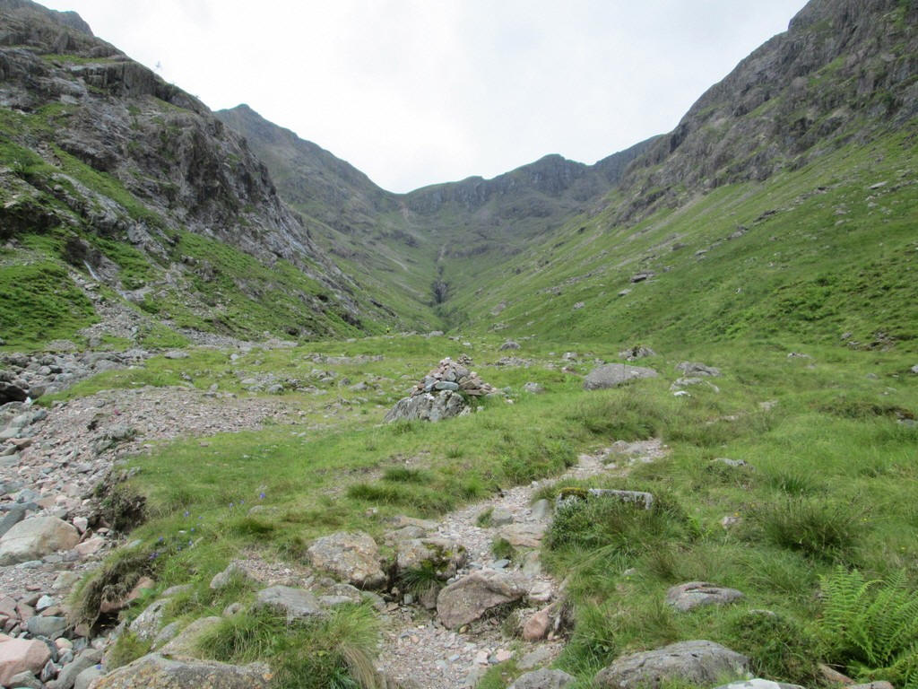
After crossing the flat but stoney ground in the valley this small cairn marks the start of the hill path to the bealach.
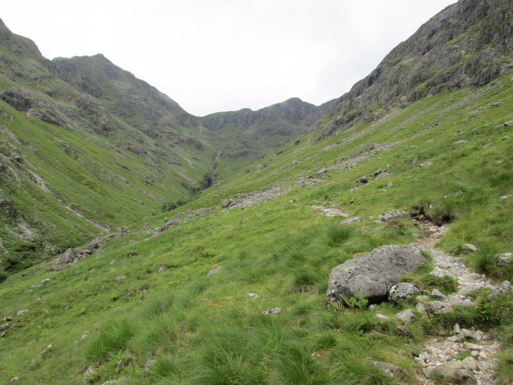
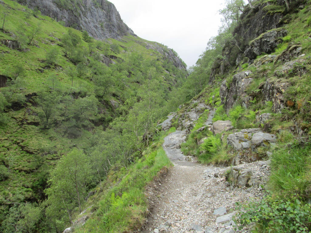
It's a good path for most of the way .....
...and gains height easily...
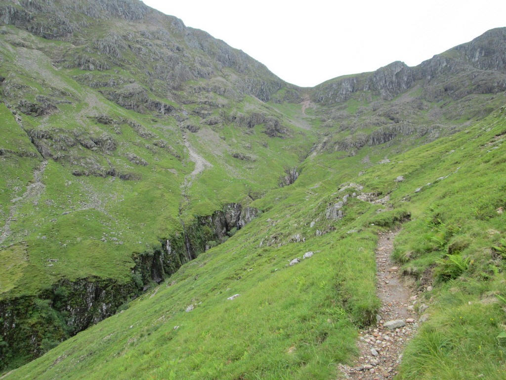
There's a path junction at this ford over the Allt Coire Gabhail. The way to the bealach is to the left.
The path now starts to climb steeply giving a good view of this waterfall.
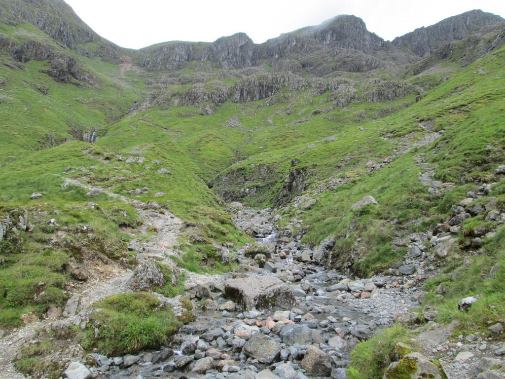
The path becomes steadily rougher with sections of steps mixed up with...
....rocky and scrambly parts.
The view back downhill is a good excuse for a stop for a few moments!
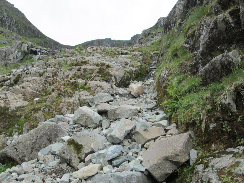
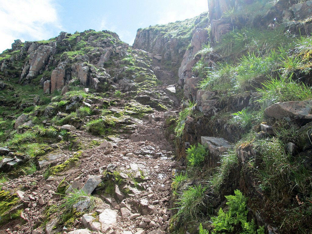
Approaching the head of the corrie I'm wondering what the notorious stone chute is going to be like. There is obviously quite a bit of erosion ahead.
The path twists around rock outcrops....
..and onto loose red earth...
...which wasn't particularly pleasant to climb.
And there it is, the chute at the top of Bealach Dearg - an appropriate name given the red colour of the rocks. It's about 20 metres long and largely protected by rocky walls on both sides. It's a scramble to get up it and I needed to heave myself up using the rocks on either side.
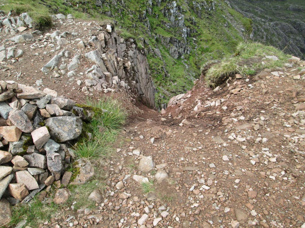
Looking back down it is more intimidating. However, it is possible to avoid the initial very steep section by using the grassy area to the right.
Once at the bealach the view to the right is the climb to Bidean nam Bian...

...and to the left the climb to Stob Coire Sgreamhach.
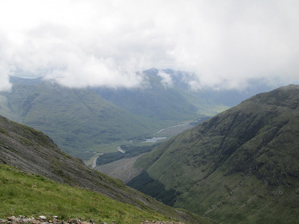
Looking straight ahead down from the bealach into Glen Etive.
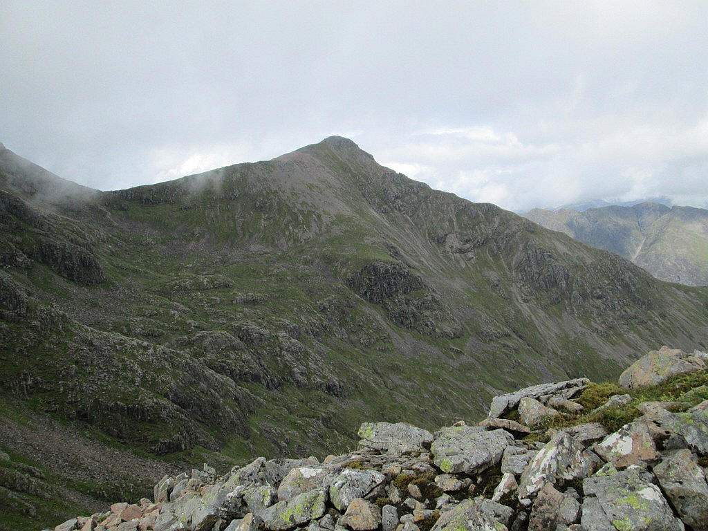
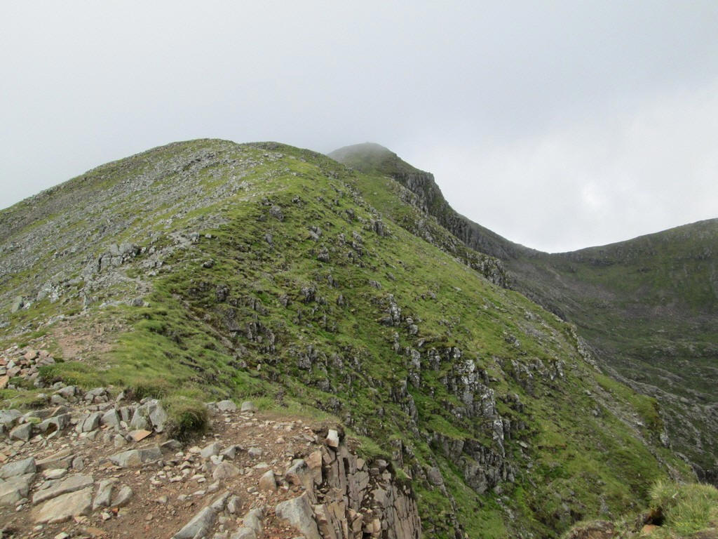
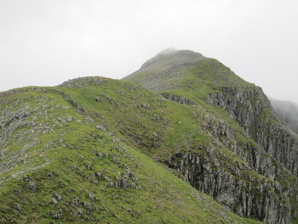
On the climb uphill the summit of Stob Coire nan Lochan (1115m) dominates the view across Coire Gabhail. In England this would probably be considered a separate hill but here is just a Munro Top.
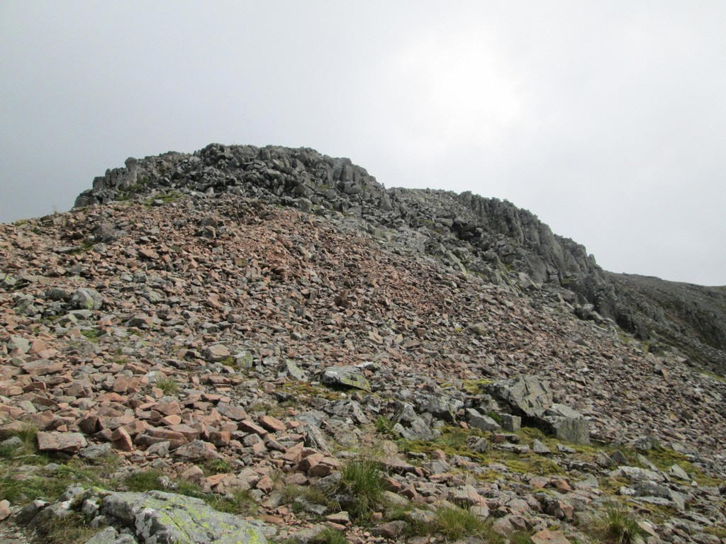
As expected the ground becomes increasingly rocky.
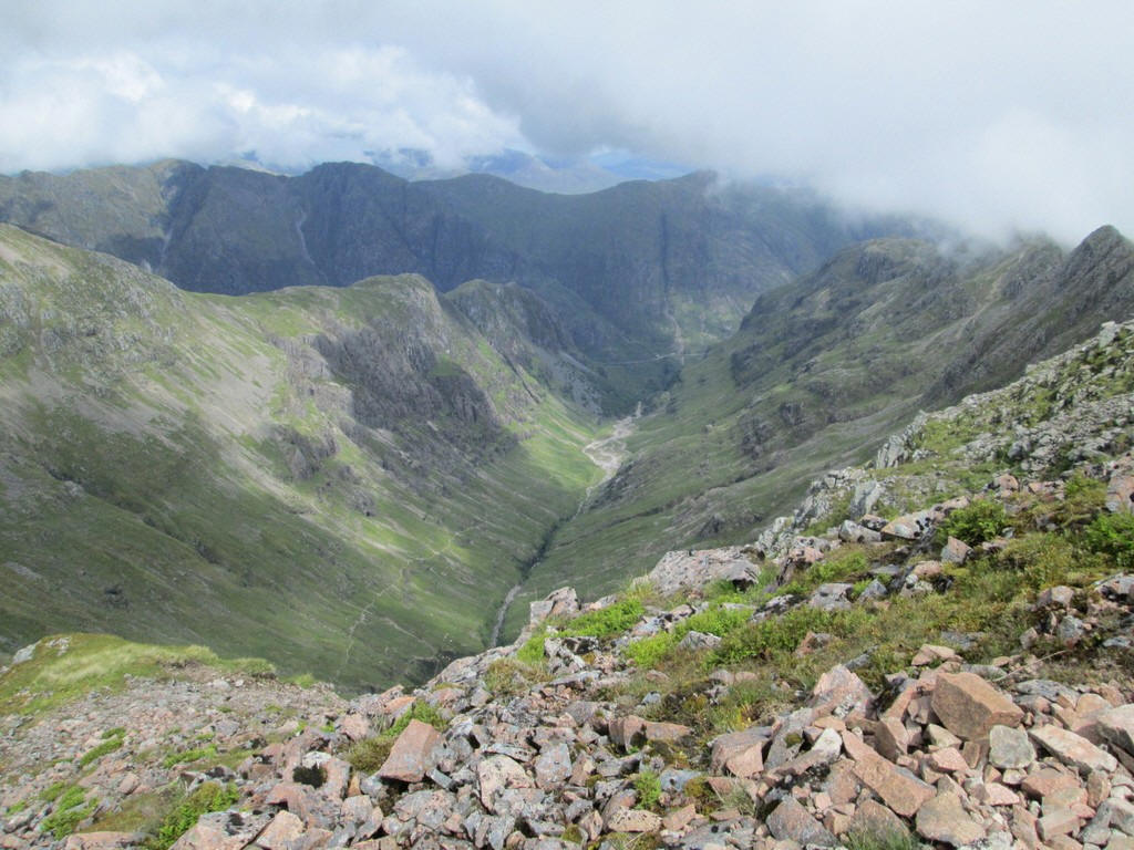
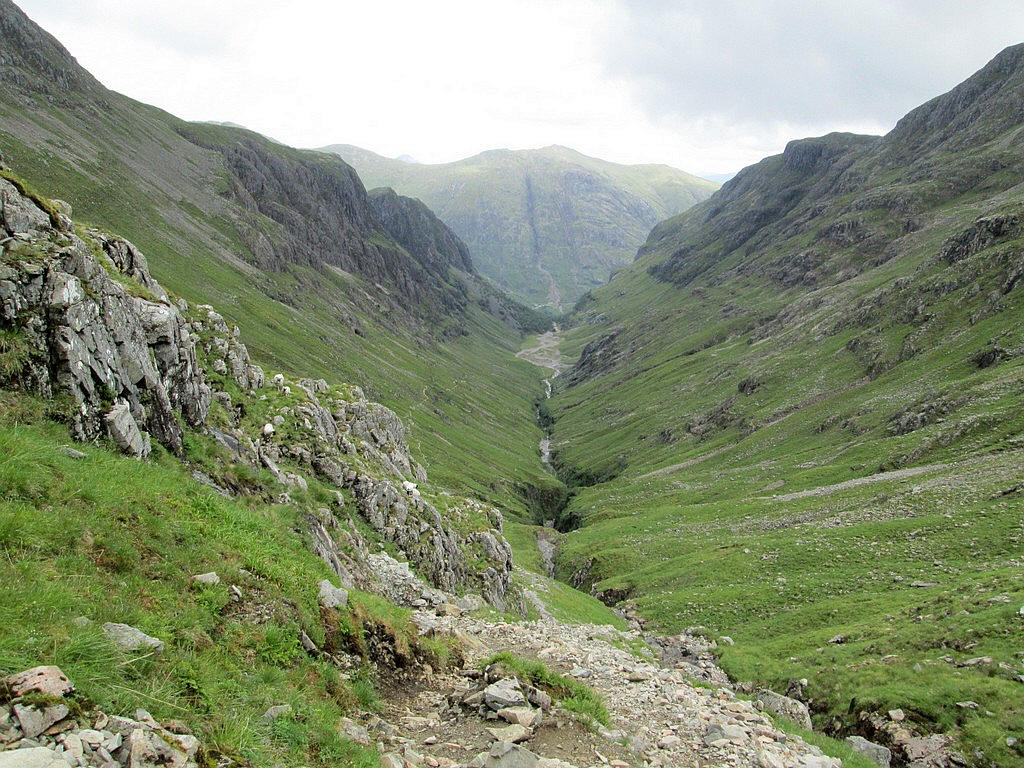
Looking down in Coire Gabhail with the Aonach Eagach ridge beyond.
The path continues steadily uphill to reach....
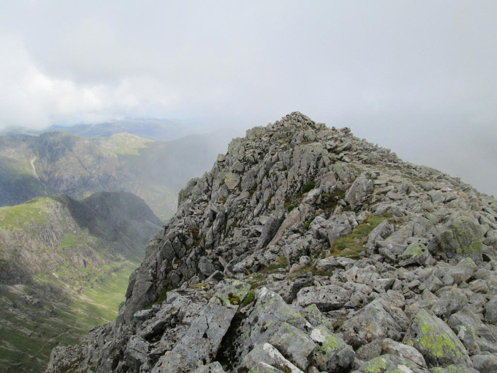
...a spur where the summit cairn (1072m) is located at the end with significant drops on three sides. The climb had taken three and a half hours from the car park by the A82.
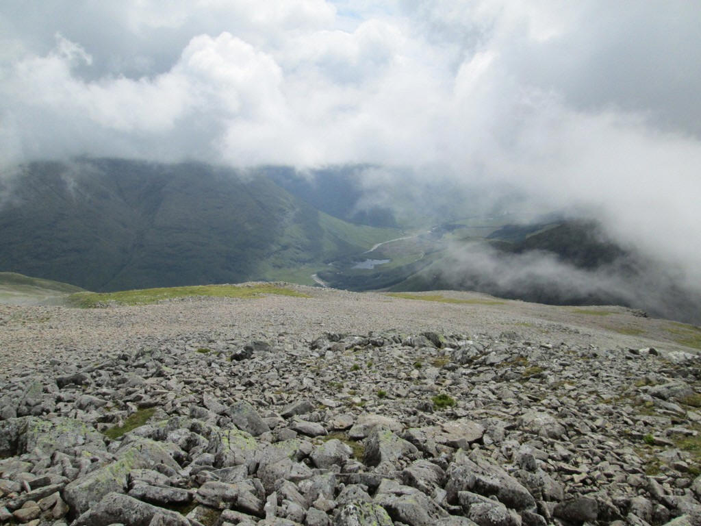
Sadly, the clouds prevented good views from the summit with the hills around Glen Etive largely hidden.
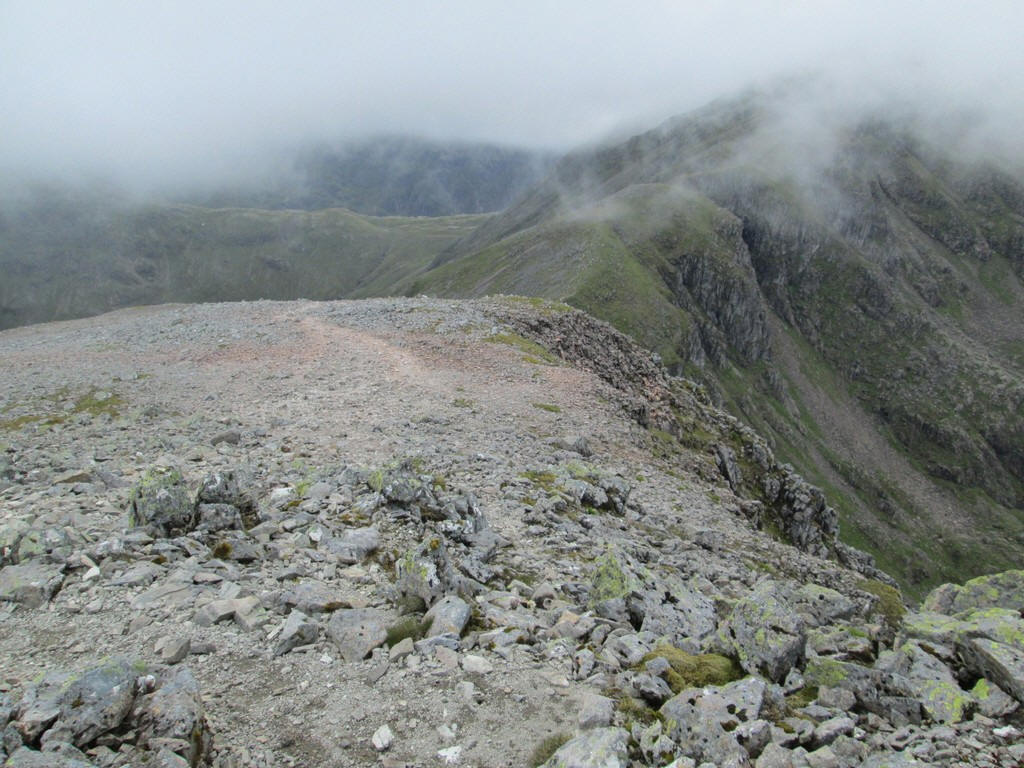
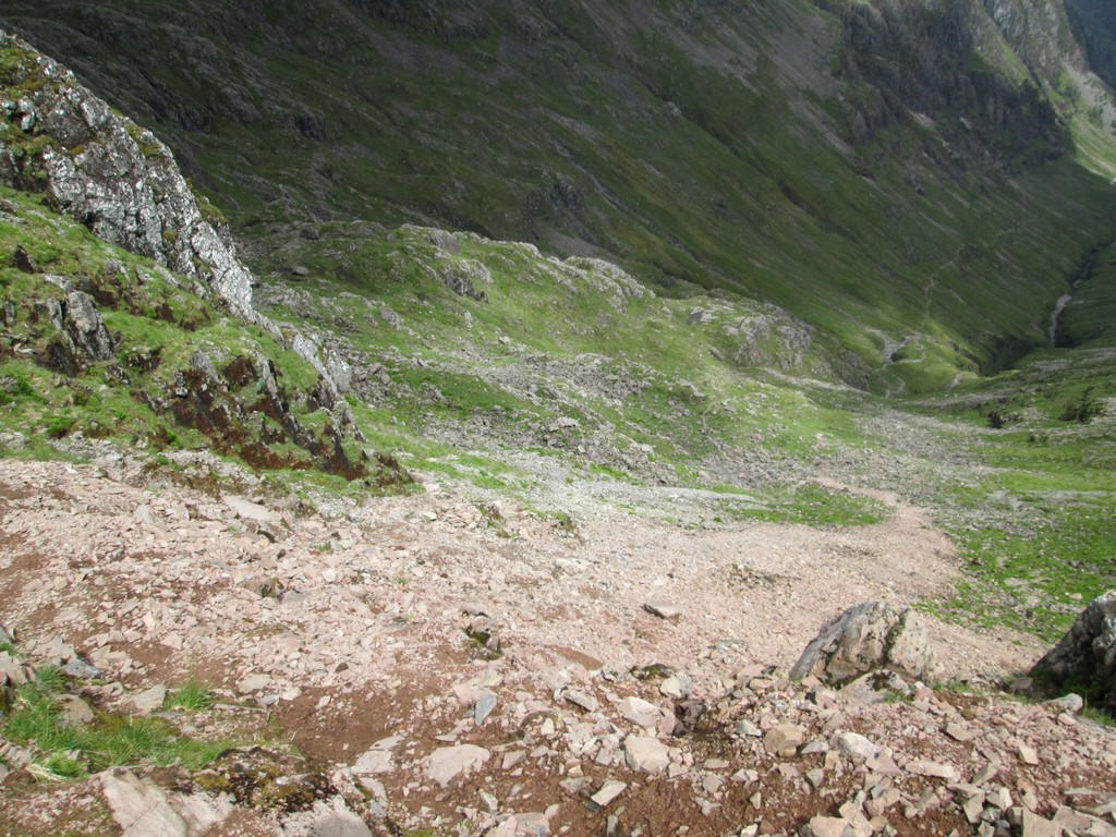
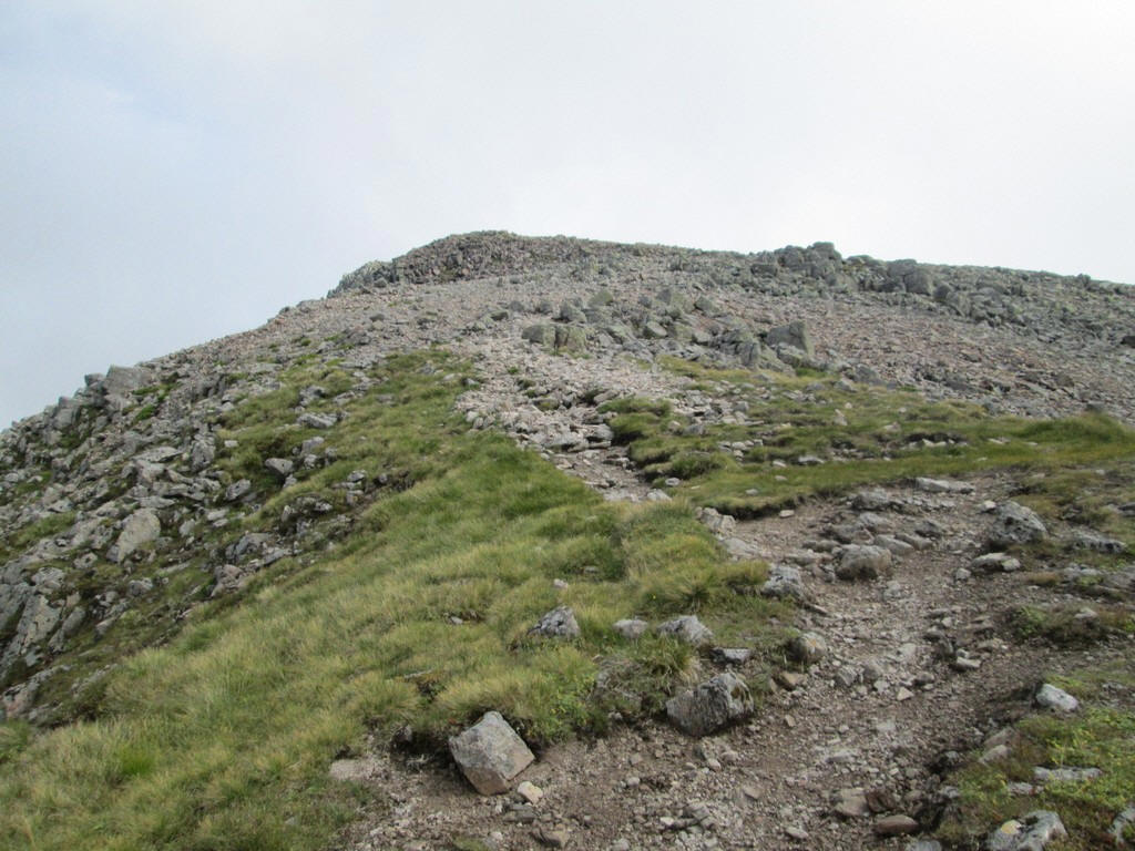
Heading off down to the bealach a better impression is often gained of the terrain than on the uphill walk....
...with the sweep of the hillside down into Gleann Fhealoin on the south west side of the bealach.
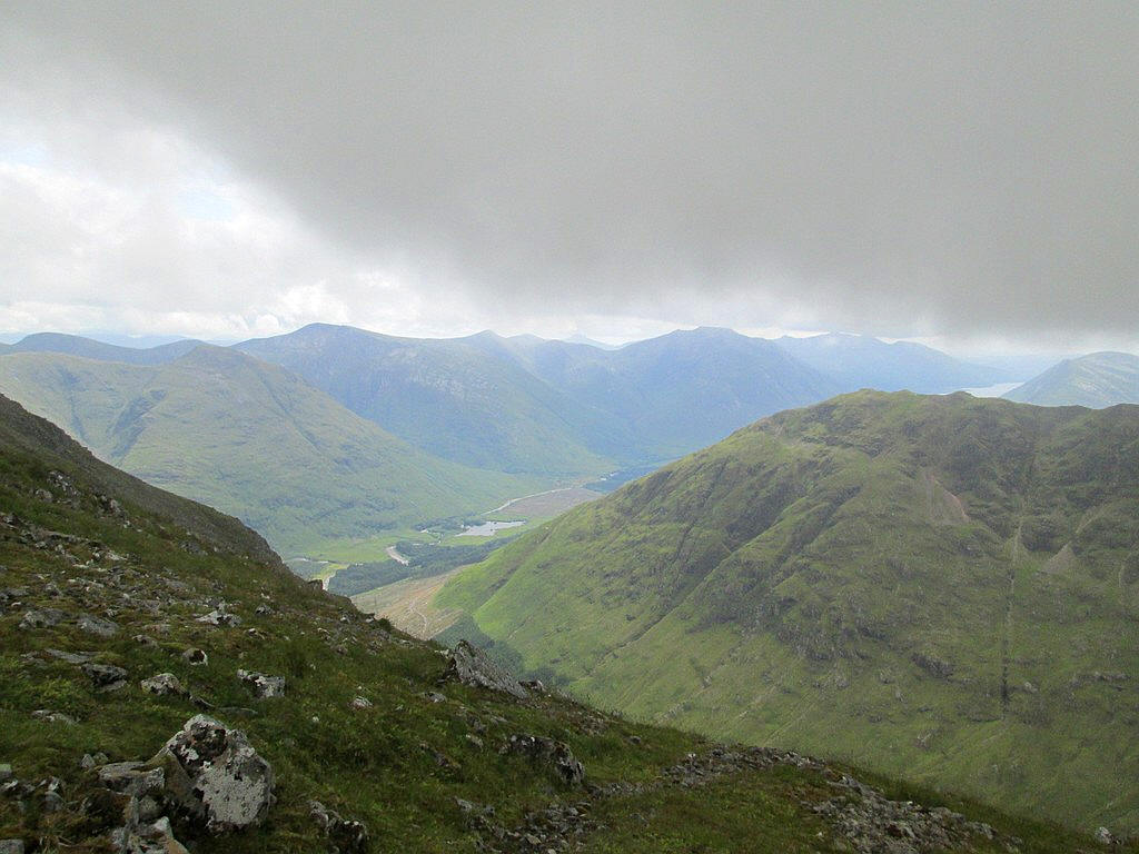
The cloud base lifted slightly allowing me to see the end of Loch Etive and the several Munros including Ben Starav to the east of the glen.
The summit of Bidean nam Bian is now virtually clear when seen from the bealach.
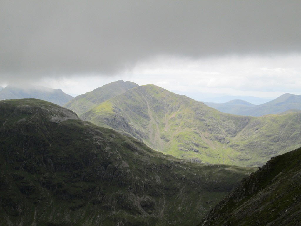
Looking south west from the bealach the Munros of Beinn Fhionnlaidh (on the left) and the summits of Sgor na h-Ulaidh (centre) are visible
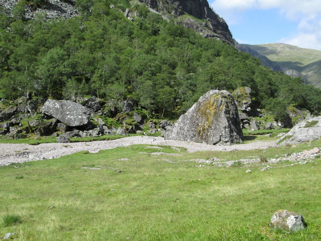
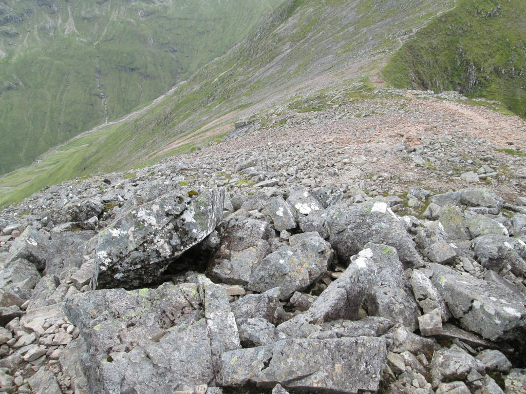
Down in the valley again the size of some of the rocks that have tumbled down the hillsides is enormous. Look at the size of the two people who have climbed up the rock in the centre of the photo.