The Saddle (West Top)
The plan for this day was to walk from the Kintail Lodge Hotel at Shiel Bridge, heading south over the tops of Sgurr Leach nan Each and Spidean Dhomhuill Bhric to the summit of The Saddle. I'd then drop down to the Bealach Coire Mhalagain and then descend to Malagan Bridge on the A87 before walking back to Shiel Bridge on the road verge.
However, things didn't quite work out as planned...
The square way marks, with times, are as recorded by my SPOT GPS tracker, whilst the blue way marks record the position of the various summits with heights.
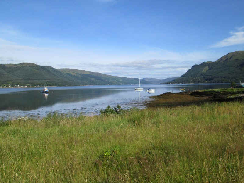
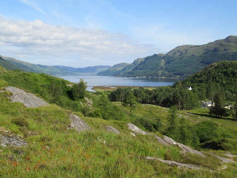
My walk started at sea level at Loch Duich on a beautiful July morning with temperatures already in the low twenties.
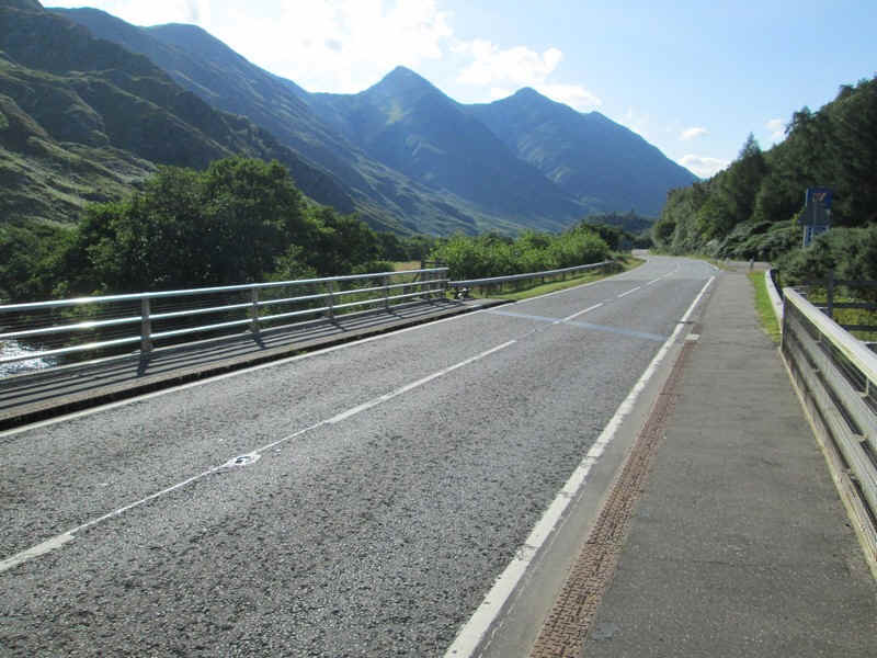
After a short walk along the A87 to Shiel Bridge...
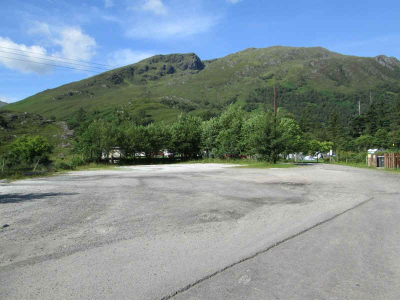
...the way to the hills goes across this car park and along the right hand edge of a campsite...
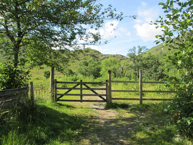
...to a fence.
Then it's straight into the climb with views back to the loch.
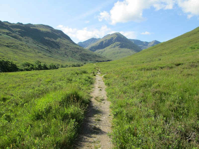
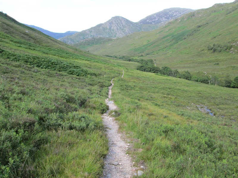
The stalkers' path up Gleann Undalain is a delight....
...and after crossing the Allt Undalain on a bridge heads...
...gently uphill passing the entrance Coire Caol which lies across the glen to the south east.
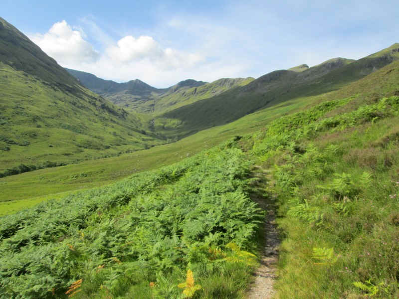
Straight ahead is Coire Uaine with the hills of today's walk beyond.
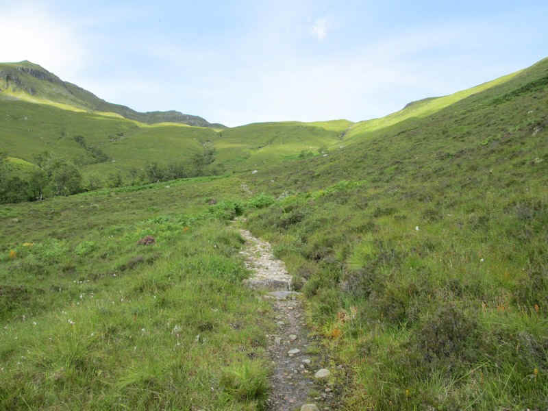
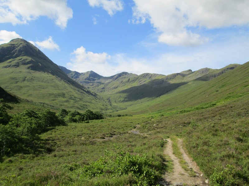
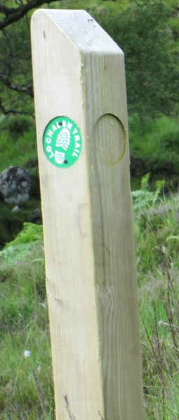
The stalkers' path turns uphill to climb to a saddle before dropping down into Glen More. This is part of the Lochalsh Trail (otherwise known as the 'Dirty 30' challenge walk).
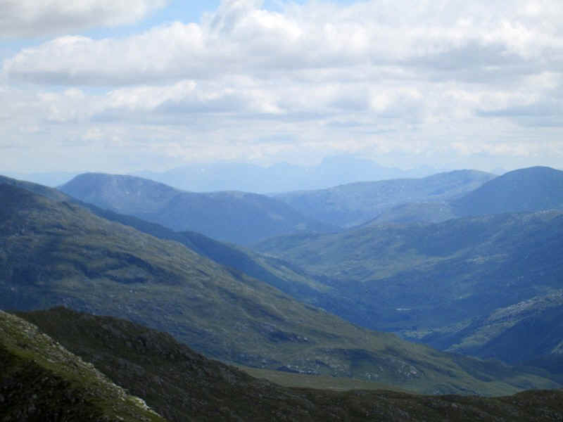
Looking backwards the end of the Five Sisters ridge in Glen Shiel is seen.
The two way mark posts mark the spot where the path to The Saddle leaves the Lochalsh Trail.
 |
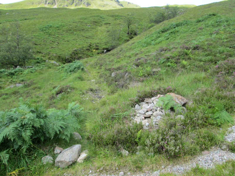 |
This small cairn marks the start of the long walk towards The Saddle. (NG 925161)
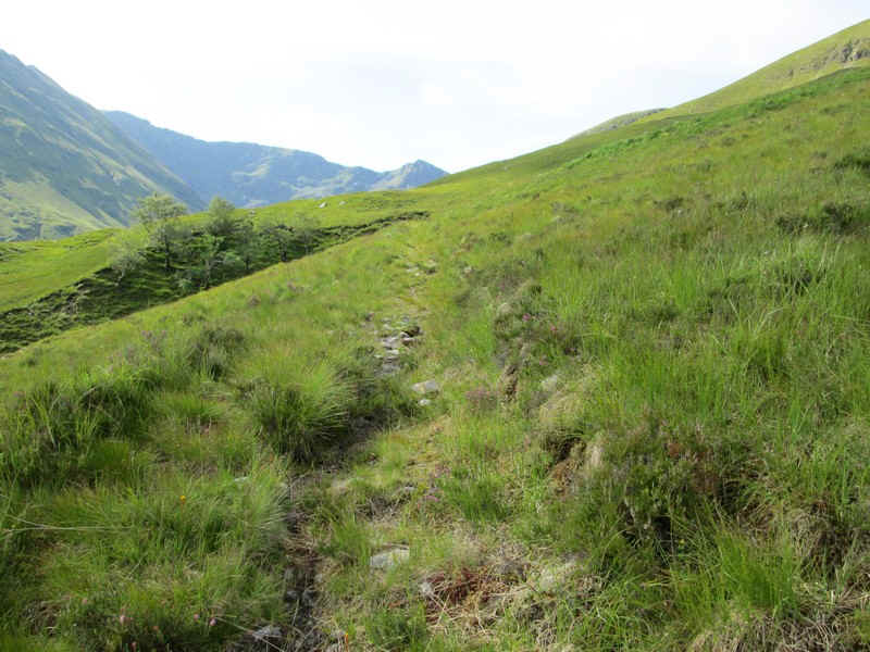
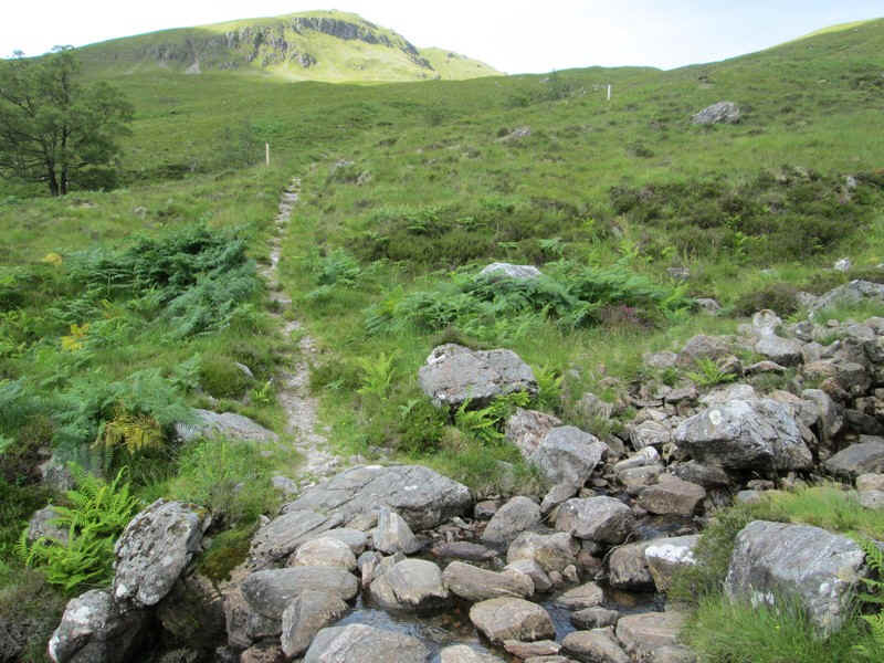
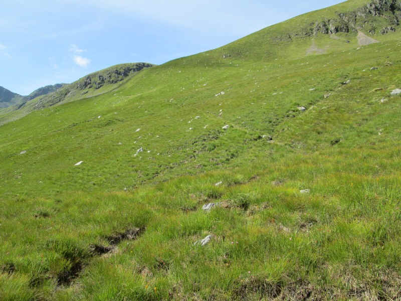
The path is poorly defined....
...and eventually disappears at about NG923157.
Using my GPS I now aimed for a point on the ridge at spot height 636m (roughly NG917153).
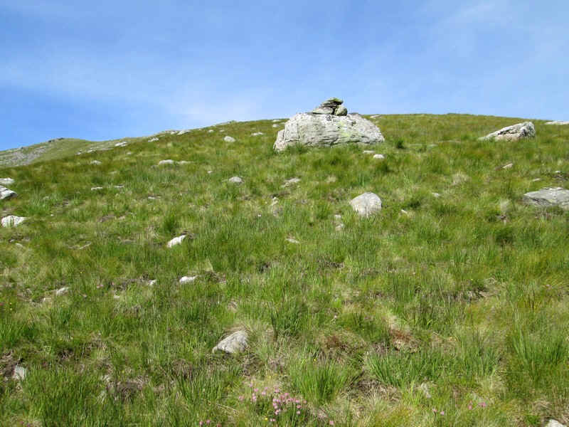
There's a prominent boulder with a small cairn on the top, which is obviously intended for use in descent but there's no obvious path nearby.
A panoramic view of the entire Five Sisters ridge. Click on the photo to see a larger image.
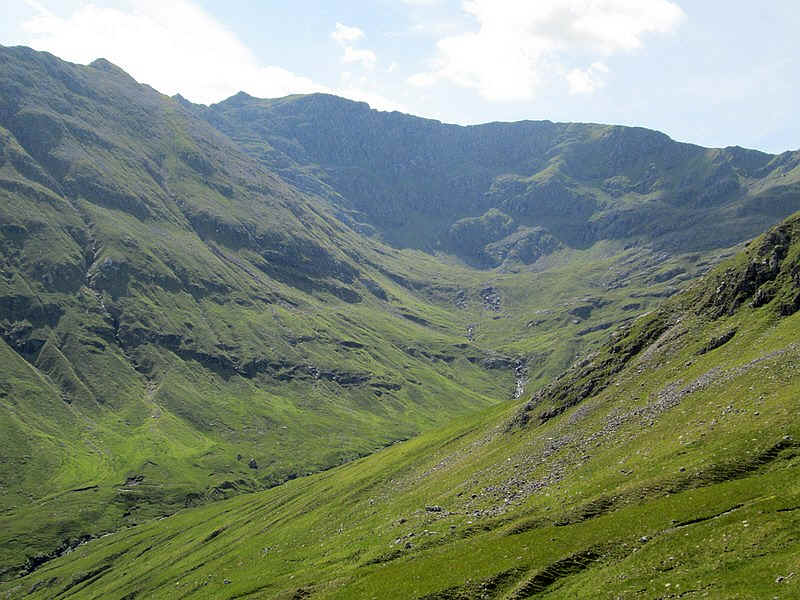
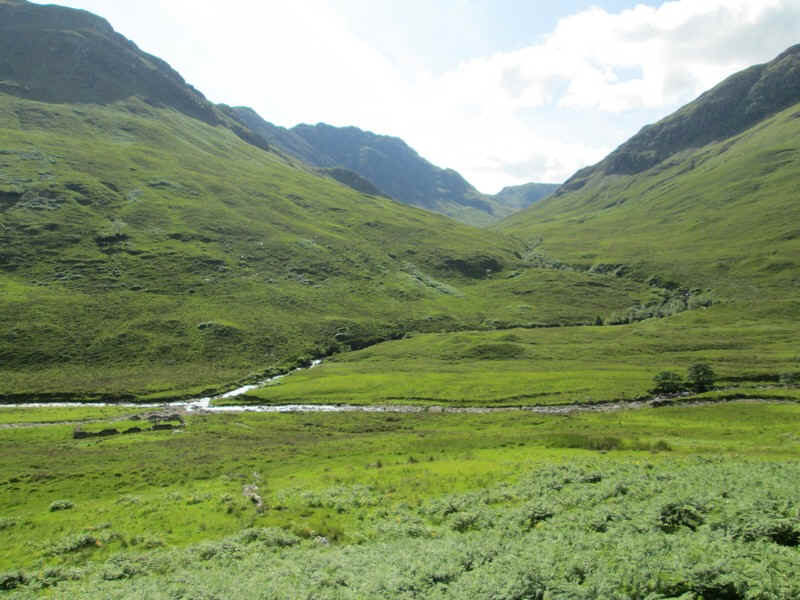
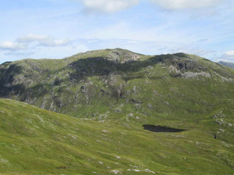
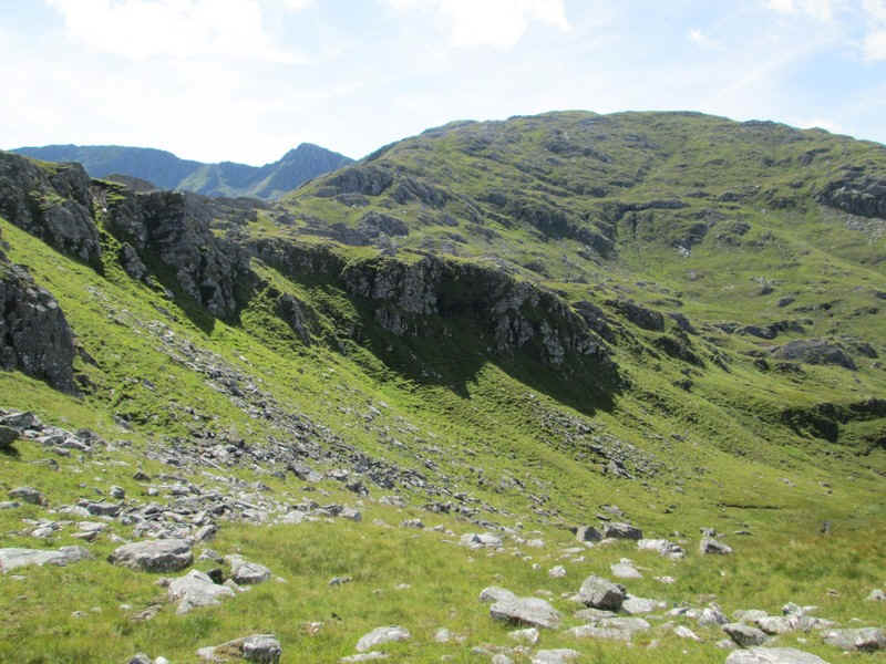
Looking up Coire Uaine the cliffs below the ridge to The Saddle look intimidating.
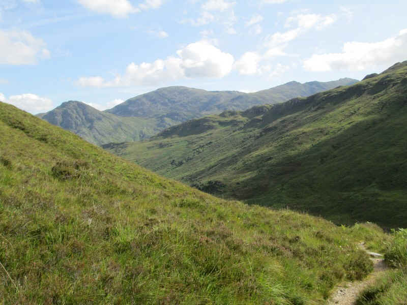
A glance back reveals Loch Coire na Crogachan (by the side of the Lochalsh Trail path) with the Corbett, Sgurr Mhic Bharraich, beyond.
From now on the walk is along the ridge to The Saddle which has an approximate ascent of 560 metres and 200 metres of descent over the next 4 km. This continual climbing and then descending makes this route somewhat demanding, especially in hot weather and with little sign of clear paths for most of the way.
Looking across to the west is Beinn Sgritheall (974m). This is one Munro I doubt I'll ever climb, although there is a bus service once a day to the starting point at Arnisdale.
Looking west over the Sound of Sleat (just visible as a white shore line mark in the centre) to Skye with the cloud covered Cuillins in the distance about 30 miles away.
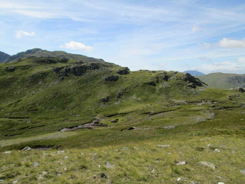
Back to the ridge and there's the first of the descents to a boggy area before another climb...
...followed by another descent...
...where this enormous rocky pile (spot height 682m) gives me pause for thought. I can see a way round on the right but it means a drop down. On the other hand I can't see what's on the left hand side so I opt...
....to go downhill to the right..
...and into a small valley...
...before clambering up through rocks again.
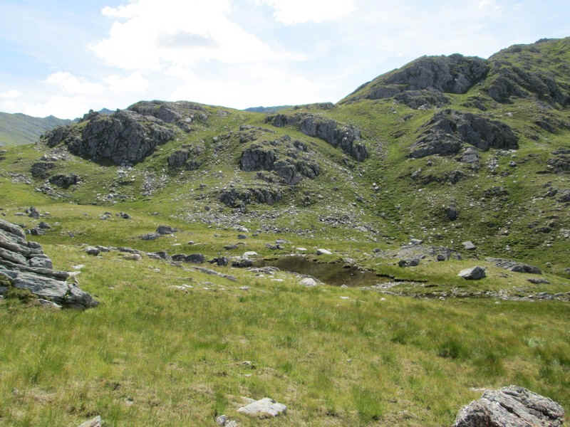
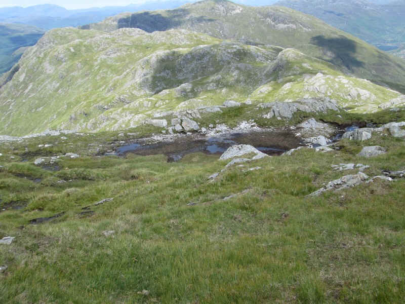
Downhill again and there's a small lochan at about NG918147
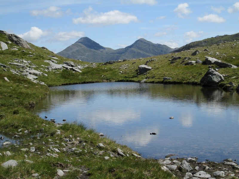
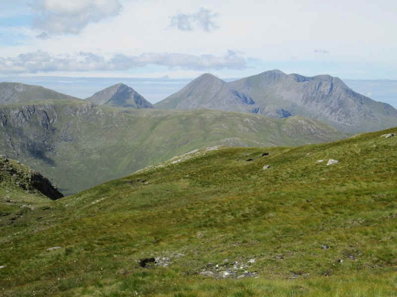
I am rewarded for my effort by this view. I think the hills are Sgurr na Carnach and Sgurr na Ciste Duibhe on the Five Sisters ridge. Perhaps not surprisingly I'm now running about three quarters of an hour later than expected at this point.
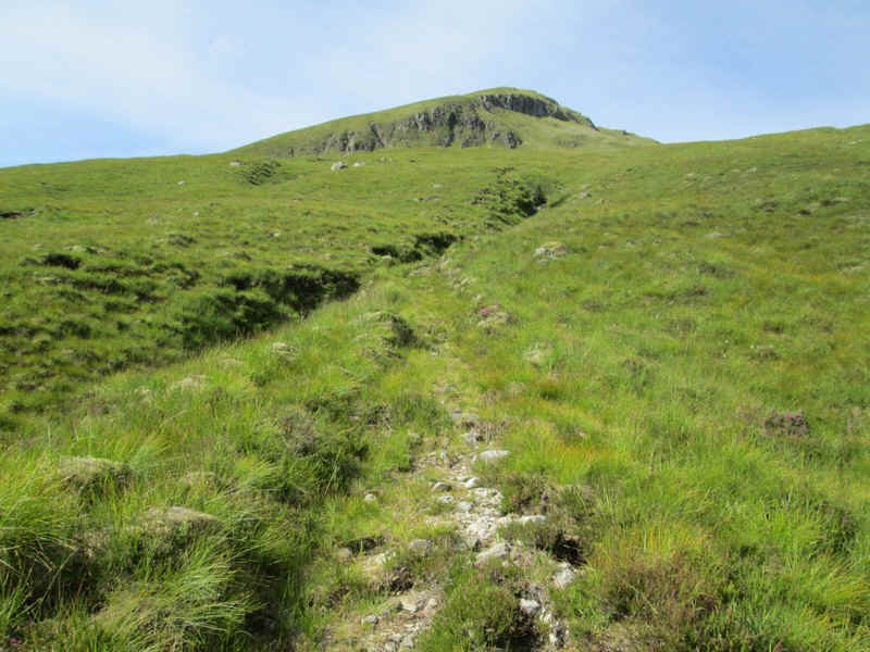
Suddenly, there's a faint track which leads uphill.
There's another view of the ridge leading to the insignificant looking triangle in the top left corner that is The Saddle's summit.
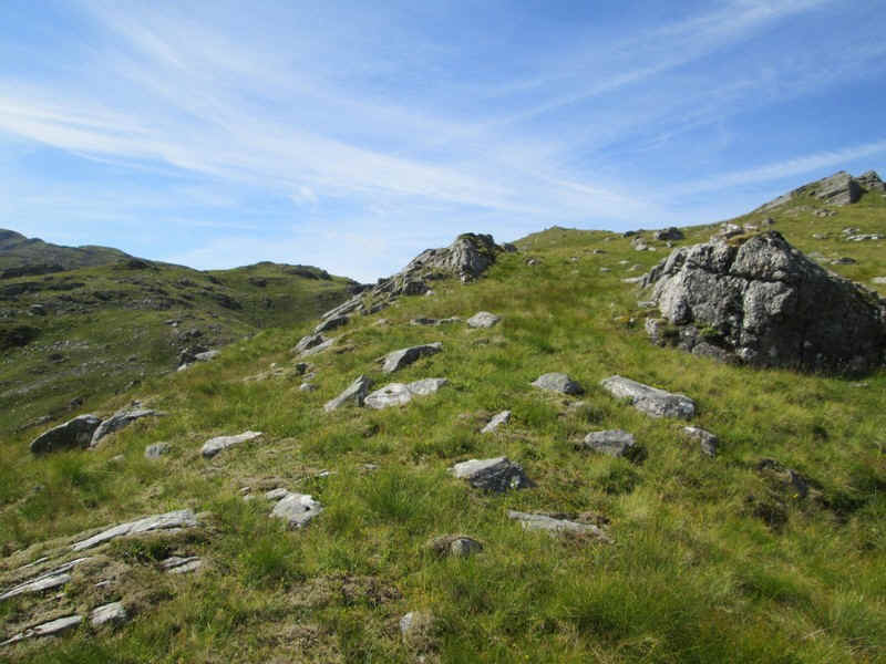
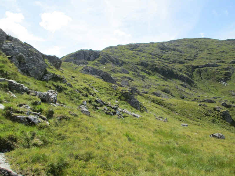
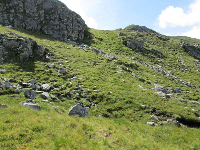
The track appears and disappears depending on whether there's an obvious route but most of the time route finding is a case of weaving around and over rocky outcrops.
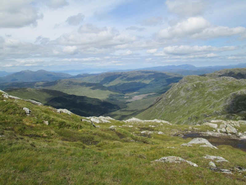
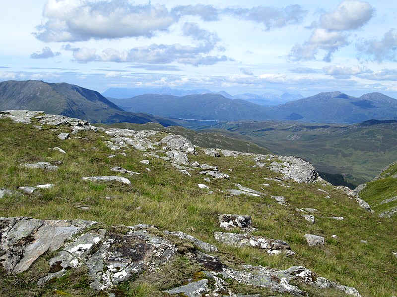
This is the view looking north west down to Glen More with the Kyle of Lochalsh area n the distance.
There's a small, almost dried up, lochan at NG917141 which is seen looking back down the ridge.
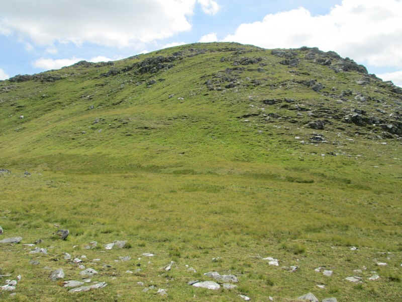
The ridge rises quite gently..
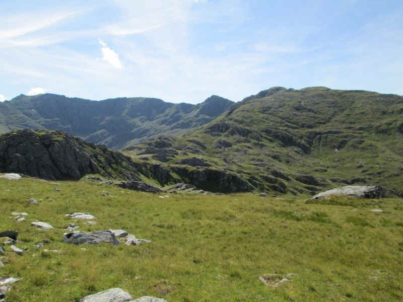
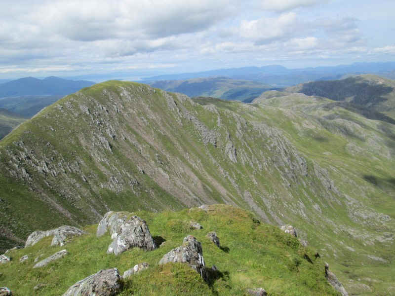
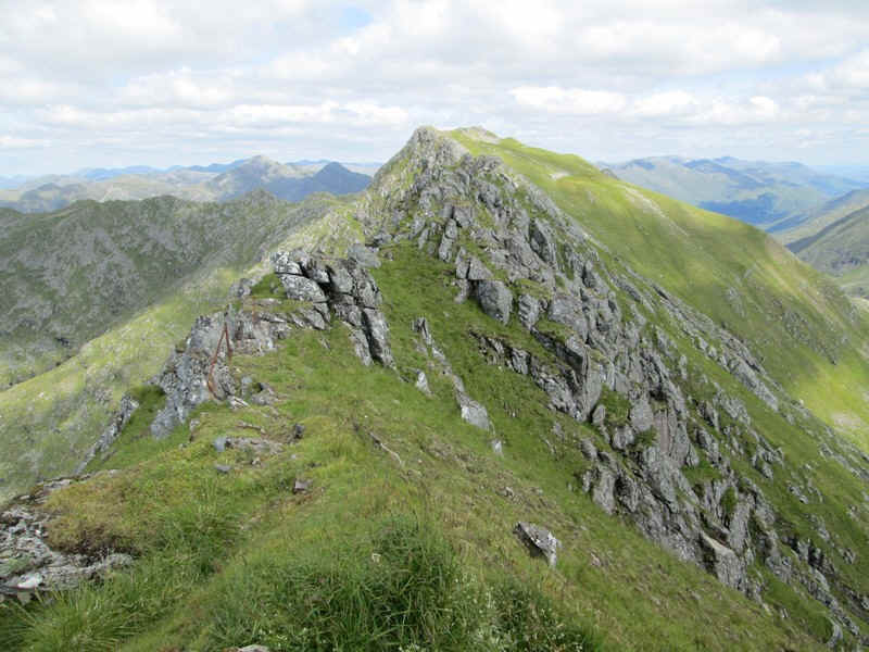
...until suddenly there's a view of the beginning of the immense curving ridge with its succession of tops.
It's still a long way to the summit but with the long summer days there's plenty of time.
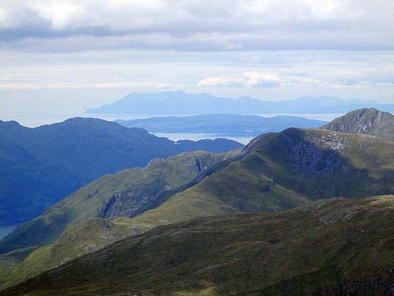
Over to the south west, and 35 miles away, is the Isle of Rhum with the southern end of Skye, near Armadale, in front of it.
The Cuillins are now clear of cloud and the waters of the Sound of Sleat are clearly visible.
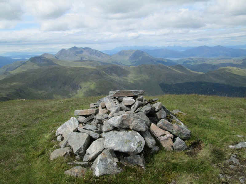
The summit cairn of Sgurr Leac nan Each (919m) is one of the tops of The Saddle. Like some other walkers I can't help wondering why this hill isn't a separate Munro. The distance between it and The Saddle, as well as the height gain and loss is very similar to that found between the two Munros on Buchaille Etive Beag!
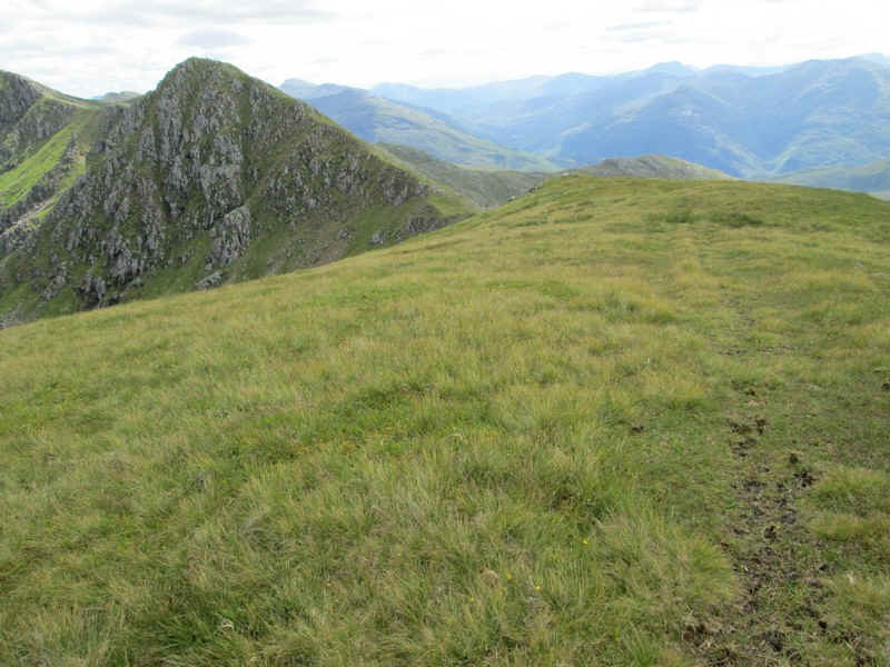
Anyway on with the walk to the next top - Spidean Dhomhuill Bhric (939m). From this viewpoint it's not obvious but there is quite a descent down to the coll between the two peaks.
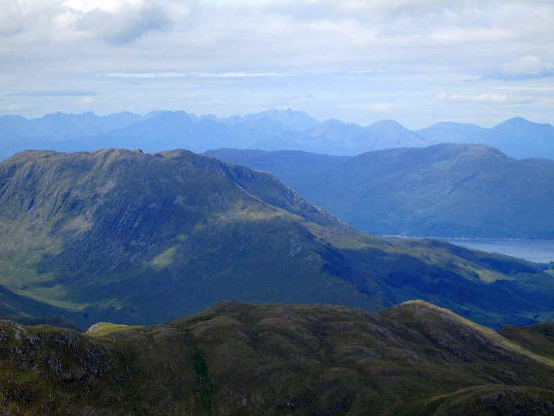
It's not very clear but the bulk of Ben Nevis is visible 30 miles away with its summit just under cloud.
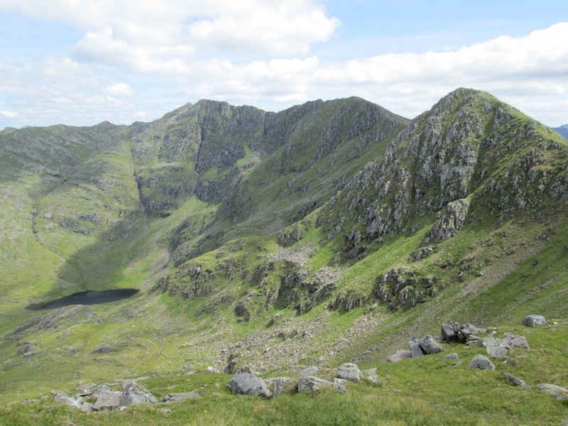
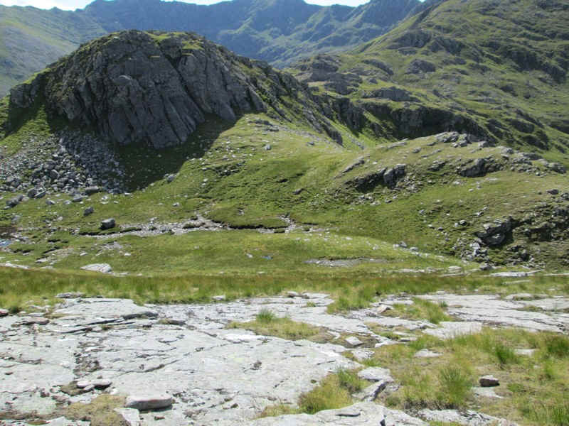
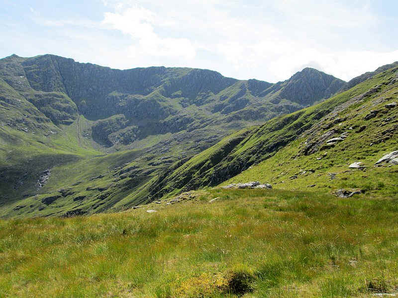
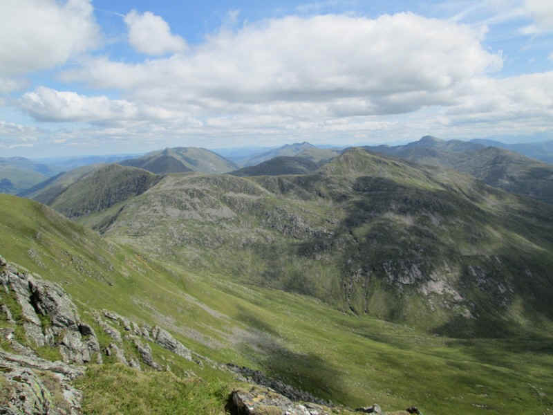
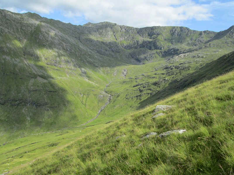
There's now a good view of Loch a'Coire Uaine below The Saddle.
Down at the coll, Spidean Dhomhuill Bhric...
.... looks to be an easy enough climb but I've been wondering if there will be any problems further along the ridge...
Looking back from Spidean Dhomhuill Bhric to Sgurr Leac nan Each confirms my view that this hill shouldn't simply be a top of The Saddle. It's on the other side of the corrie as well!
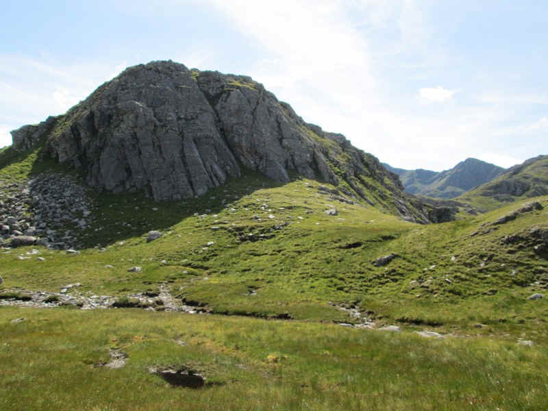
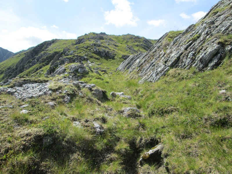
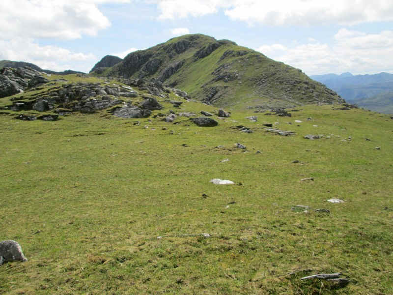
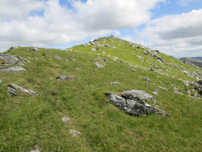
The ridge rolls forward over a succession of rises and falls,,,
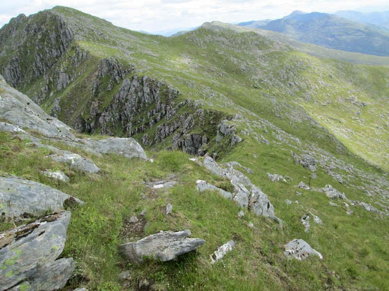
....generally now with a clear path.
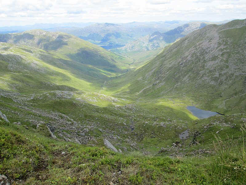
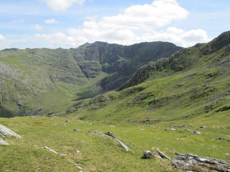
Looking down Coire Uaine to Loch Duich.
There are the remnants of a boundary fence....
...and a nice easy section....
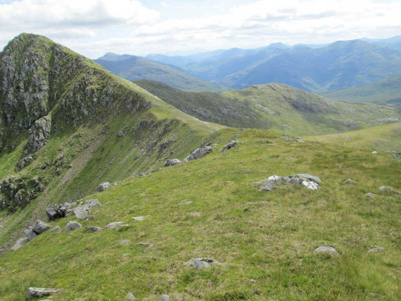
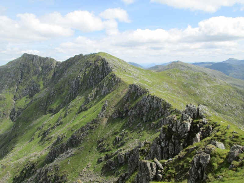
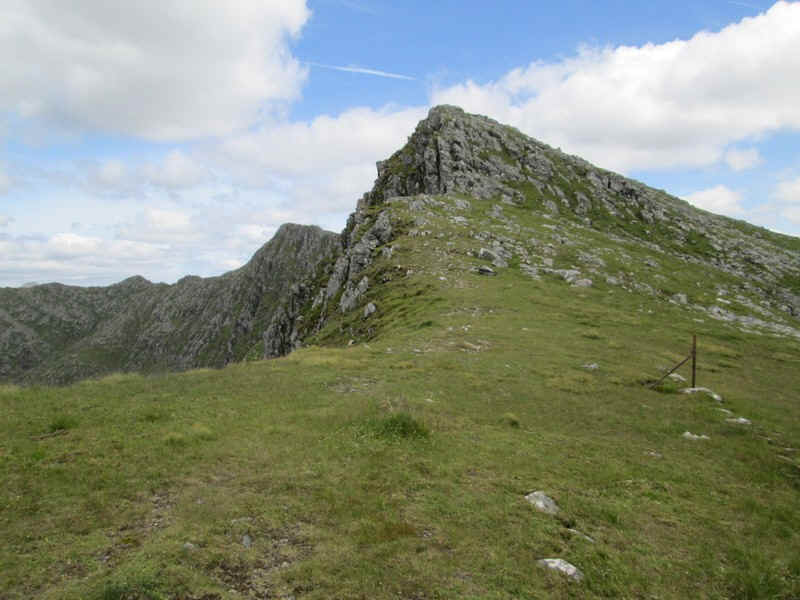
......leads to an increasingly narrow ridge with the summit of The Saddle visible beyond.
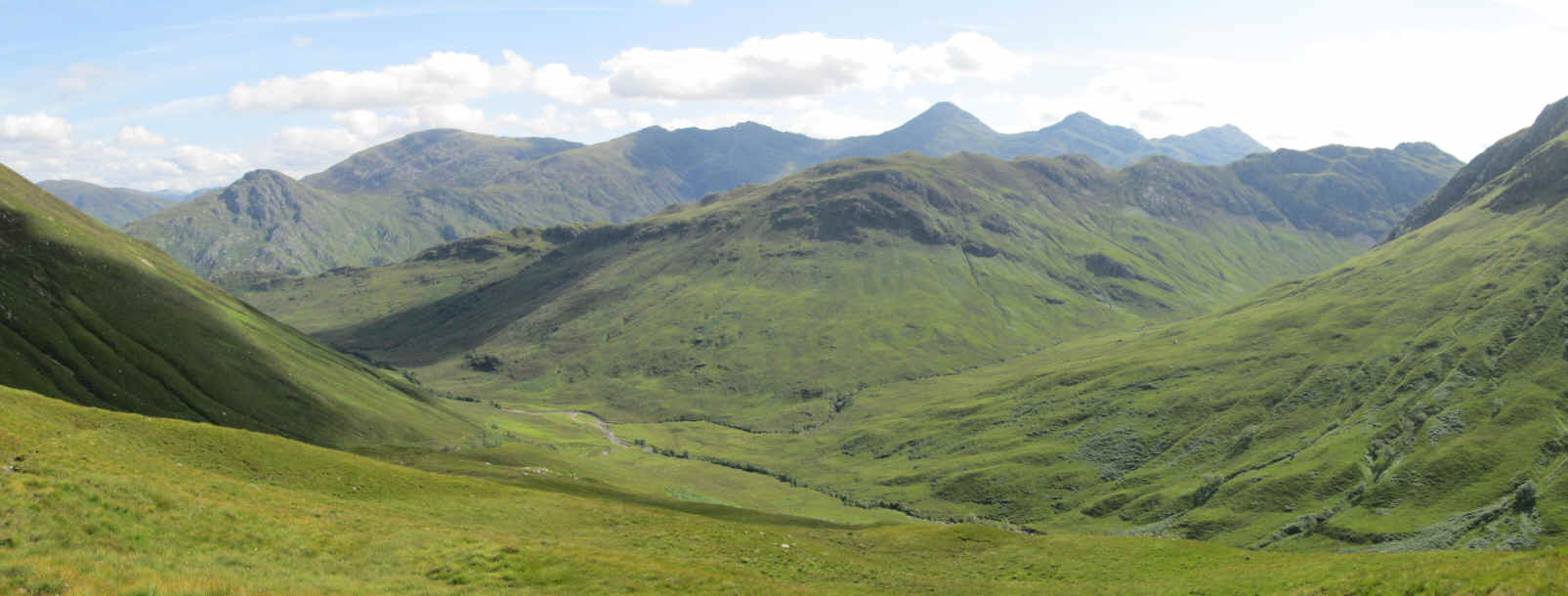
Over to the south east (on the left hand side of the photo) is the bealach at the top of Coire Mhalagain and over to the centre of the photo is the Munro Sgurr na Signe. I'd originally wondered if I would have time to climb this but I was now well over an hour behind my expected timings so was content to just look!
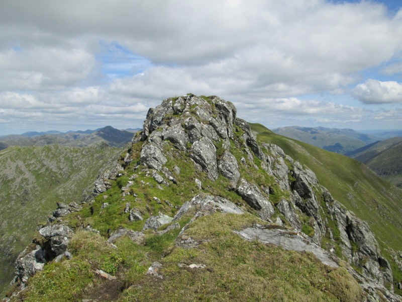
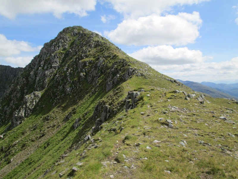
I was beginning to feel that it wouldn't be too long before I reached the summit of The Saddle when I reached this spot. It's the West Top of The Saddle. The path twists round to the left side of the rocks which at first glance looks not too bad. Close up though, it was obvious that the only way up was over an extremely damp and slippery section with no hand or footholds that I would feel happy about using. One slip and I'd be down the corrie headwall. I obviously had no idea what was the other side of this section - was it easy or equally risky.
Being on my own I wasn't prepared to take the risk. By and large a bit of exposure no longer worries me but I felt it was irresponsible to continue. So after a short break I decided to return the way I came. One advantage was that I wouldn't need to walk along the A87 and would have several more hours completely alone in the magnificent landscape.
Should I tick off The Saddle on my Munro list? I suppose it depends on how seriously you take actually reaching the summit. As far as I'm concerned I got within a few hundred feet of it and with less than 30 metres of ascent so I doubt I'll go back just for that.
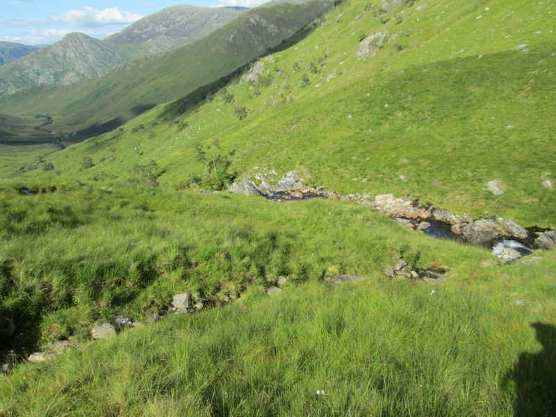
Naturally I was a bit disappointed not to have reached the summit but I now had the prospect of returning the same way. In the end I decided when I reached the second lochan (at NG919147) to drop down to the path shown on the maps in Coire Uaine (at NG927148)
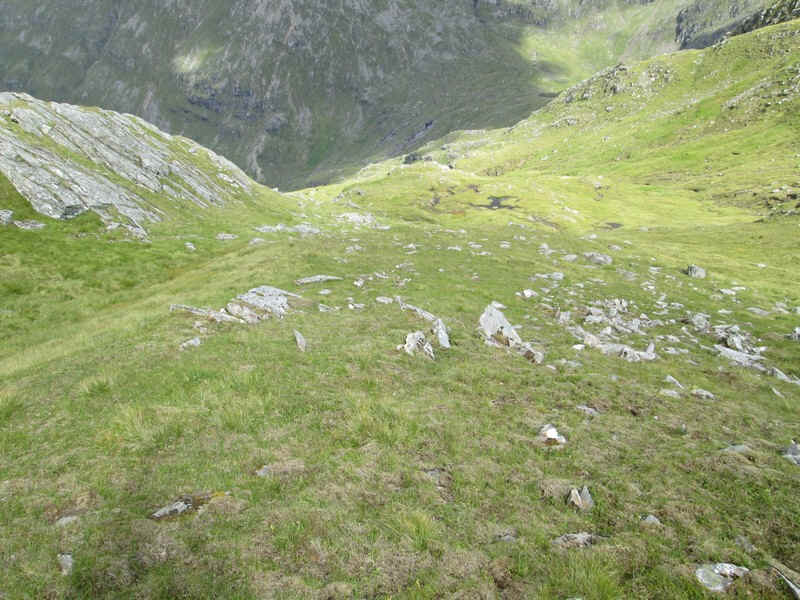
There's a descent down fairly steep grassy slopes of over 300m....
.....but it gave me a different perspective of the area and didn't prove to difficult.
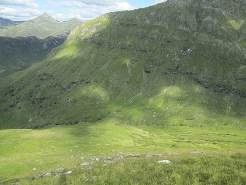
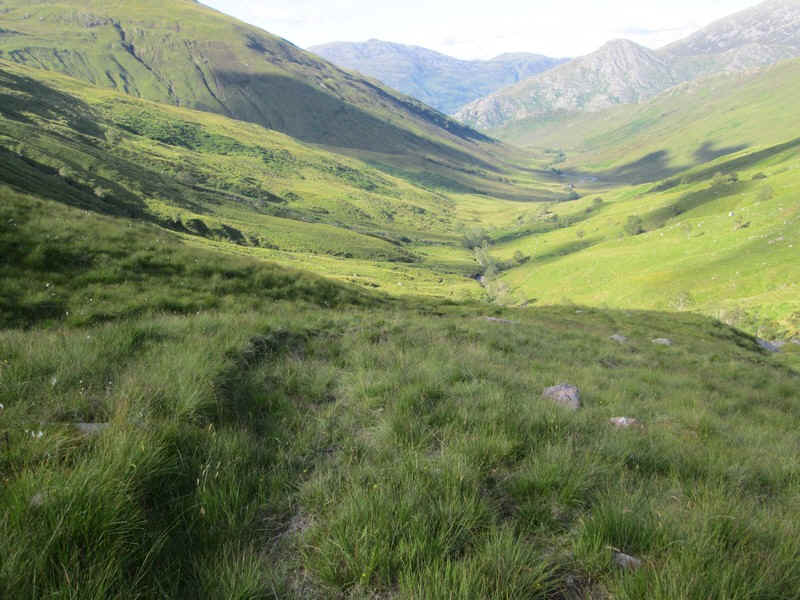
The superb early evening light dramatically highlighting the corrie.
The early sections of the path are very indistinct..
...and there are long sections with no trace of a path at all.
Eventually, I arrived back on the Lochalsh Trail...
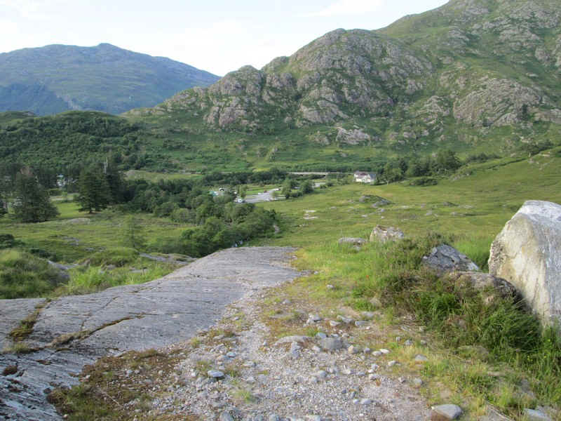
...and then back at Shiel Bridge. The entire walk had taken almost 11 hours from leaving the Kintail Lodge Hotel and arriving back. It was without doubt one of the most demanding walks I've ever done.
Of course, perhaps i made this day a bit harder than necessary. I could have taken the Citylink bus up to Malagan bridge where there is a layby and passengers will be set down or picked up. However, I would then have missed out on a superb, but difficult walk in what is obviously an unfrequented part of the Highlands.