Day 2 Torside to Standedge
Click here for link to a GPS map of this section of thePennine Way on Google maps
For me Day Two started with a return walk along the old railway line from Hadfield to Torside.
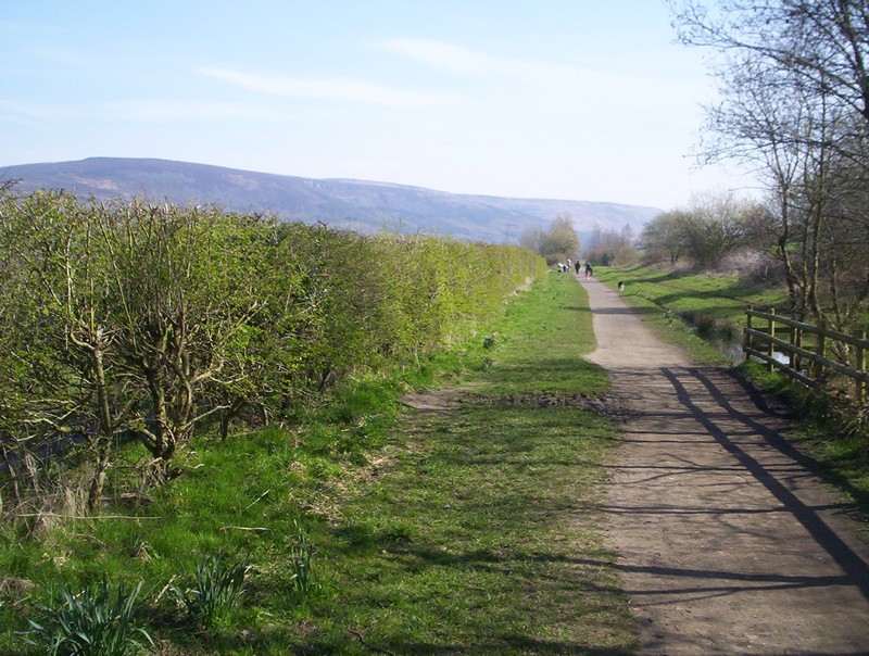
It's a broad path used by cyclist and dog-walkers as wll as hikers.

The scenery gradually improves the further up towards Torside you get.
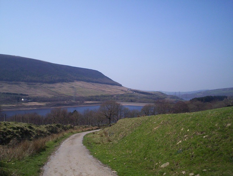
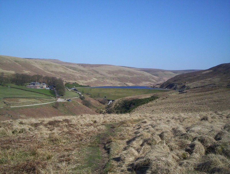
Torside reservoir comes into view.
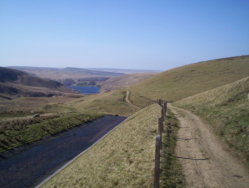
Leave the cycle way and go down the paved road to the dam.
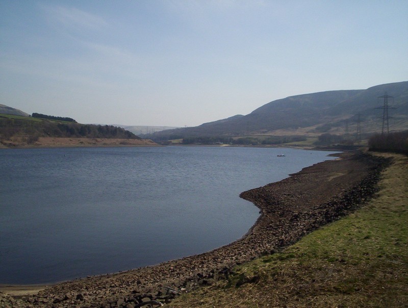
From the dam on the east side is Torside Reservoir whilst...
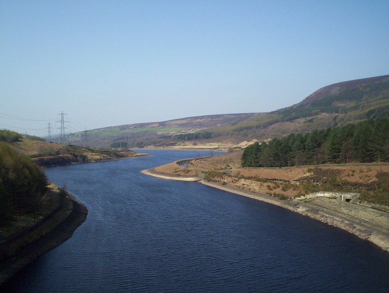
.....on the west side, far below is Rhodeswood reservoir.
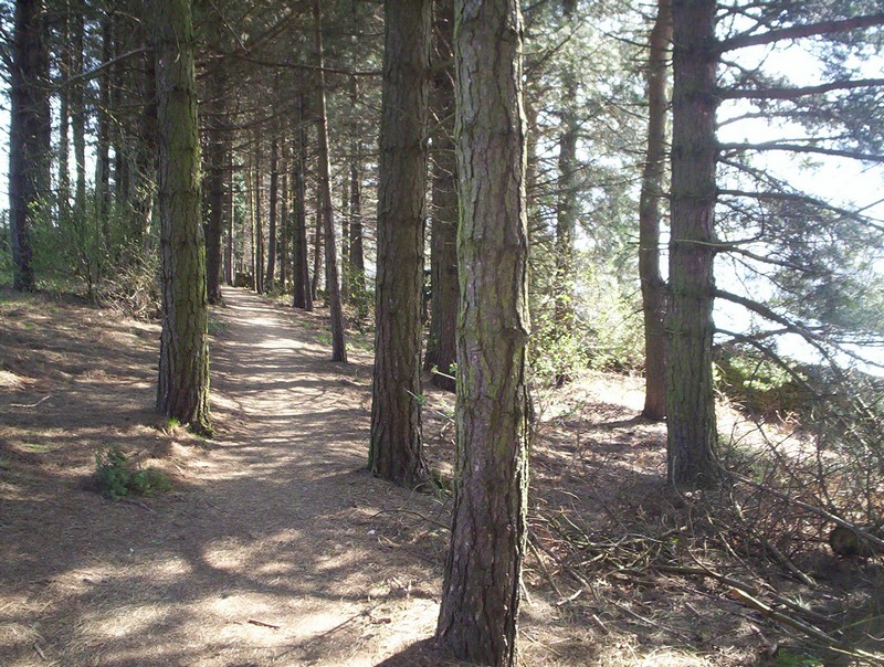
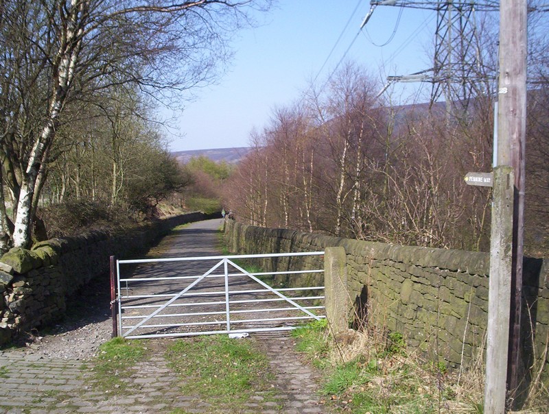
Once over the dam there's a short section through woods and then....
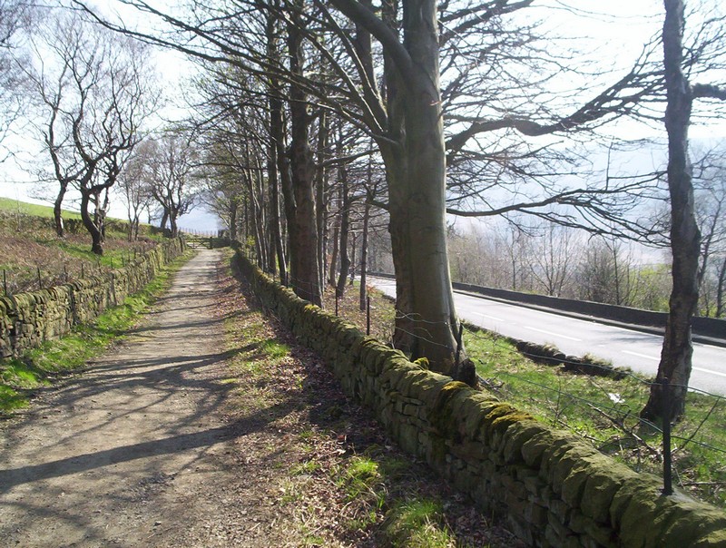
.....after crossing the busy A628 the PW continues along a lane.
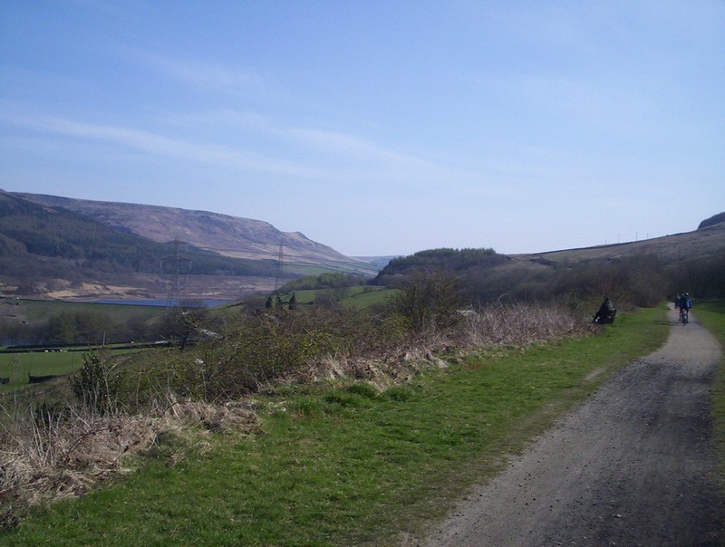
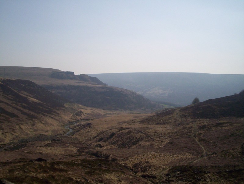
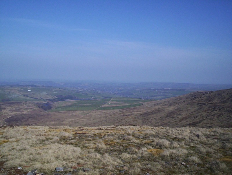
Looking back westwards the extent of forestry in the valley is obvious.
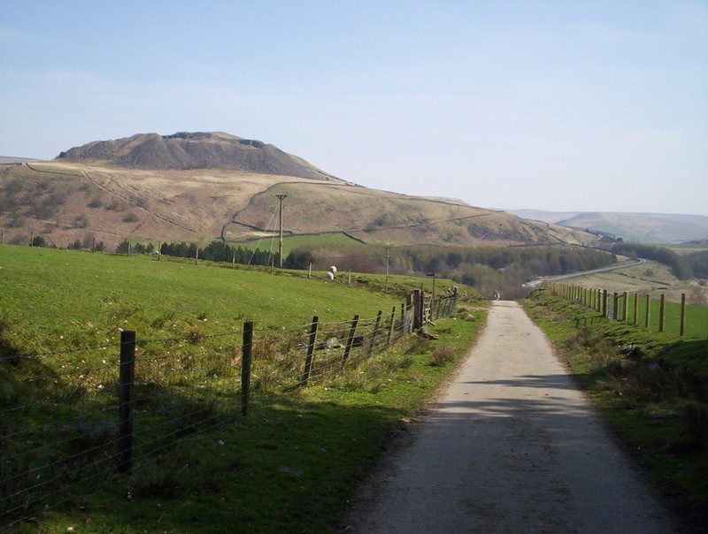
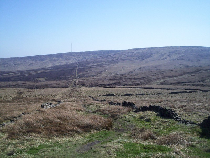
The lane continues towards Crowden with the quarry used for building the dams visible on Hey Edge.
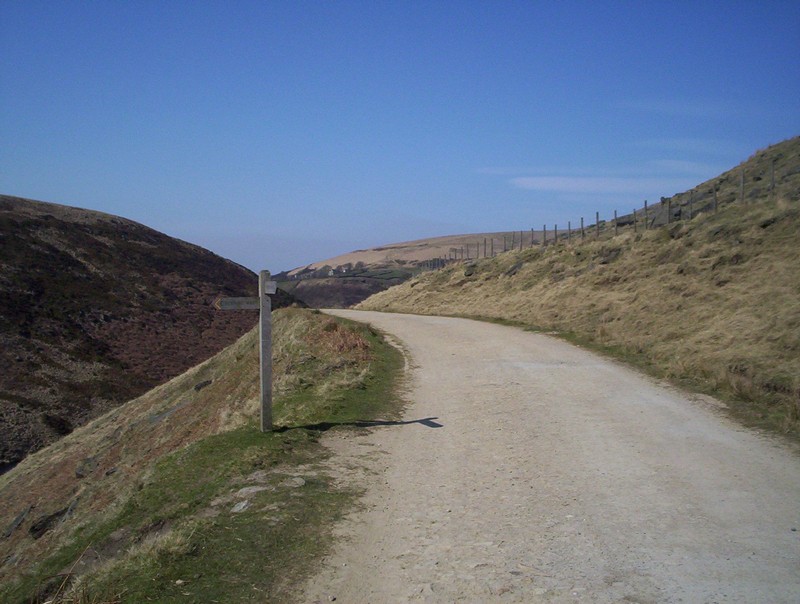
Leaving the lane the PW heads straight up the valley of Crowden Great Brook....
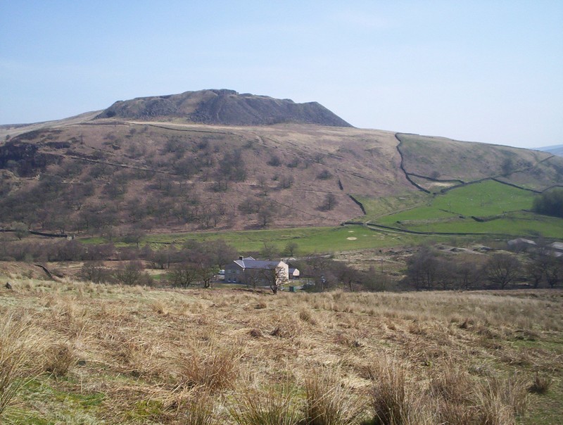
.....whilst to the east is Crowden Youth Hostel.
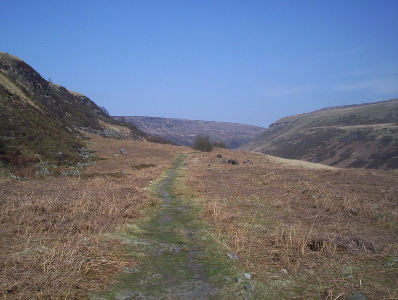
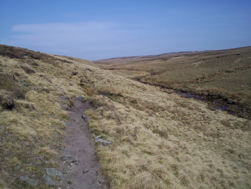
It's a pleasant walk up the valley
.....on a clear path.
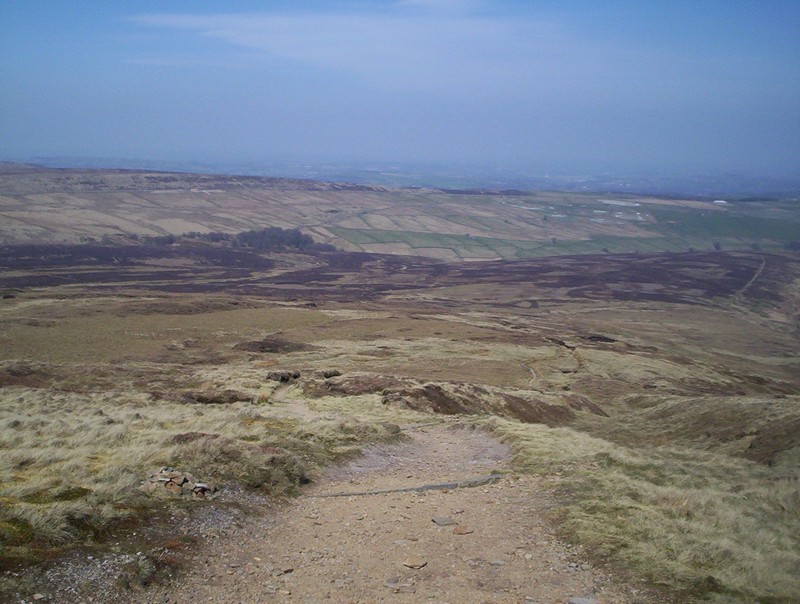
Eventually the path begins to climb....
......whilst above is the view looking back down the valley.
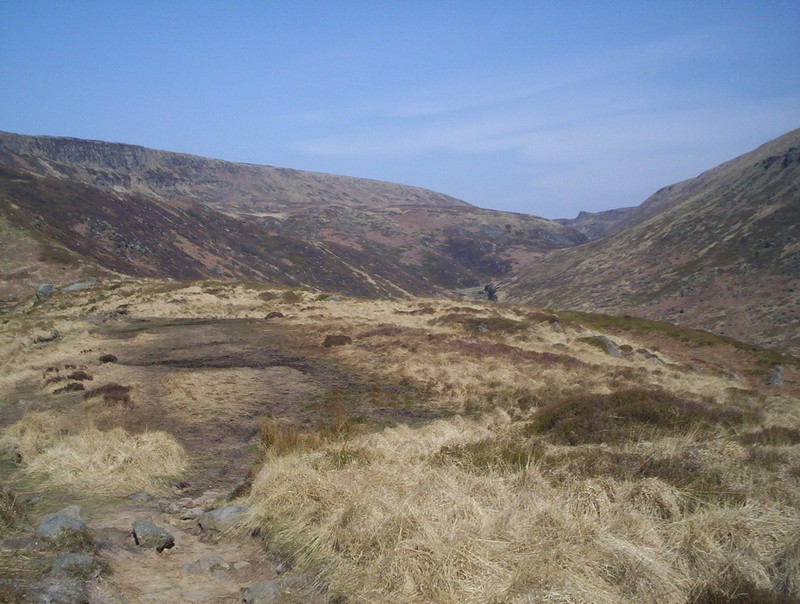
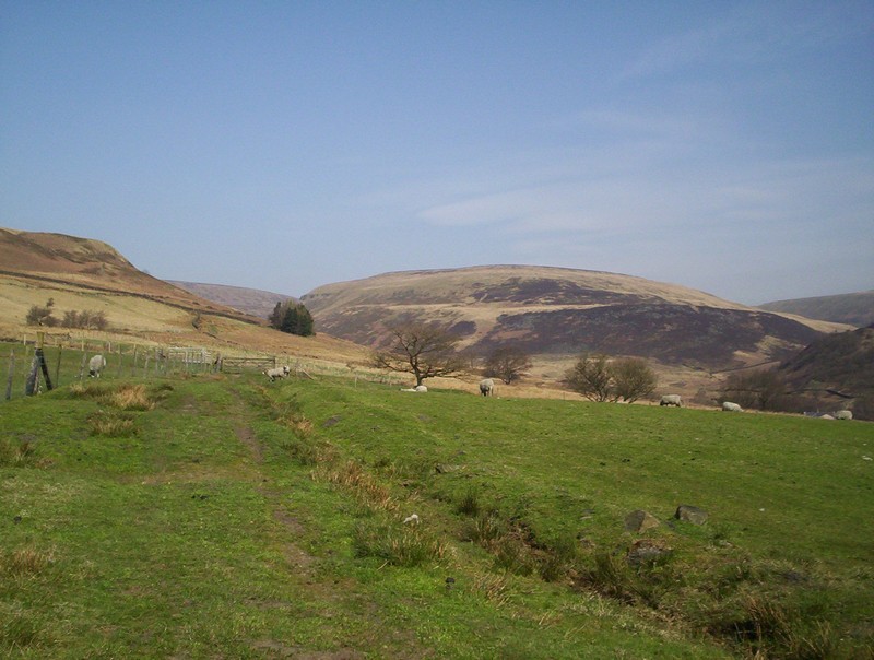
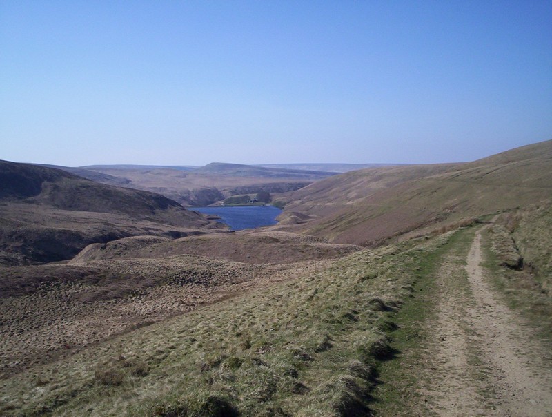
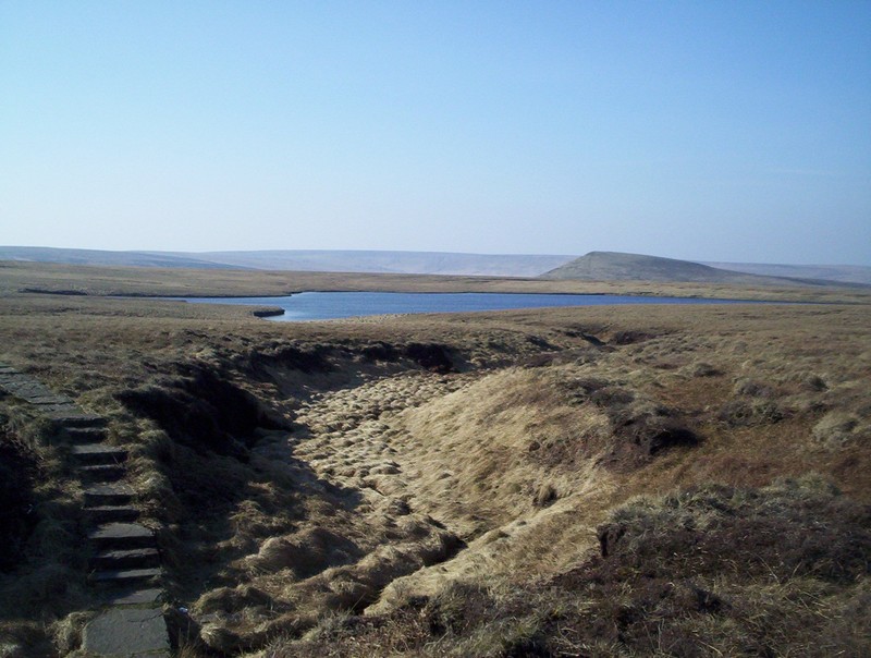
Looking up the valley towards Black Hill.
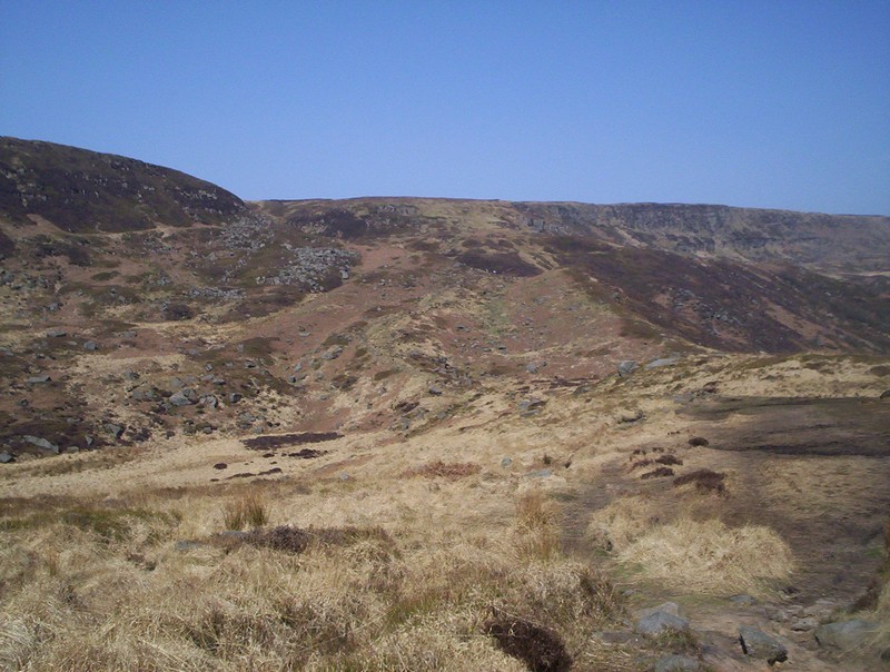
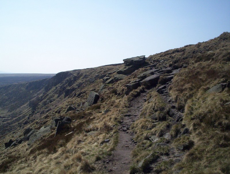
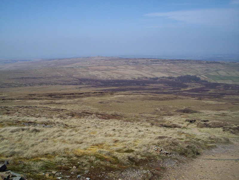
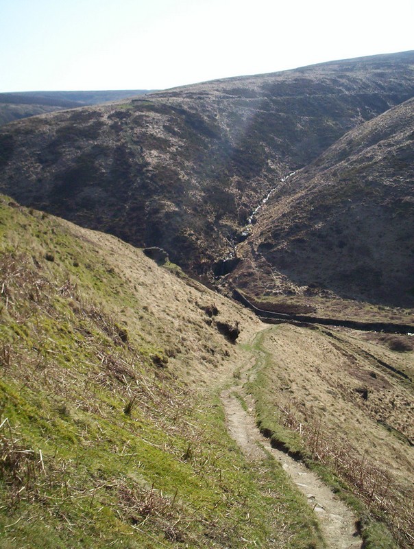
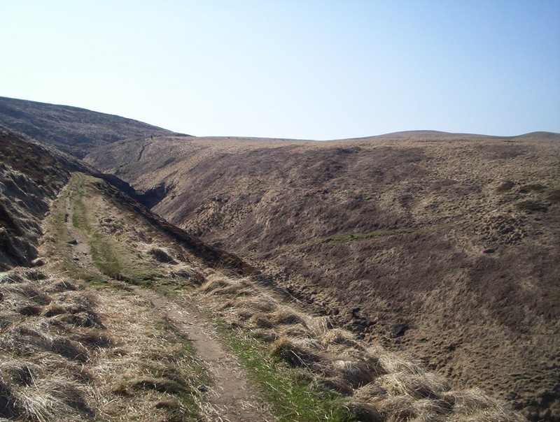
The path passes a sign warning of deep bogs by the path and starts to ascend to Laddow Rocks, seen on the skyline.
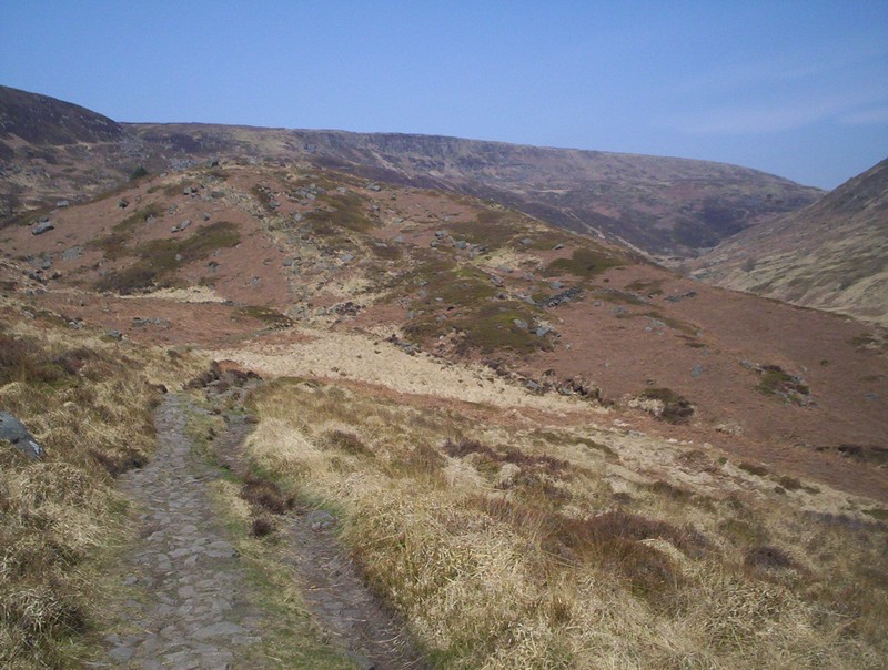
From the ascent path the wild upper reaches of the valley can be seen with Bareholme Moss to the right,
As the path climbs it crosses Oaken Clough.....
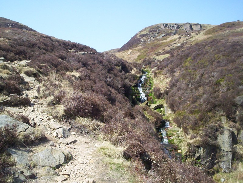
......which had little water in it that day.
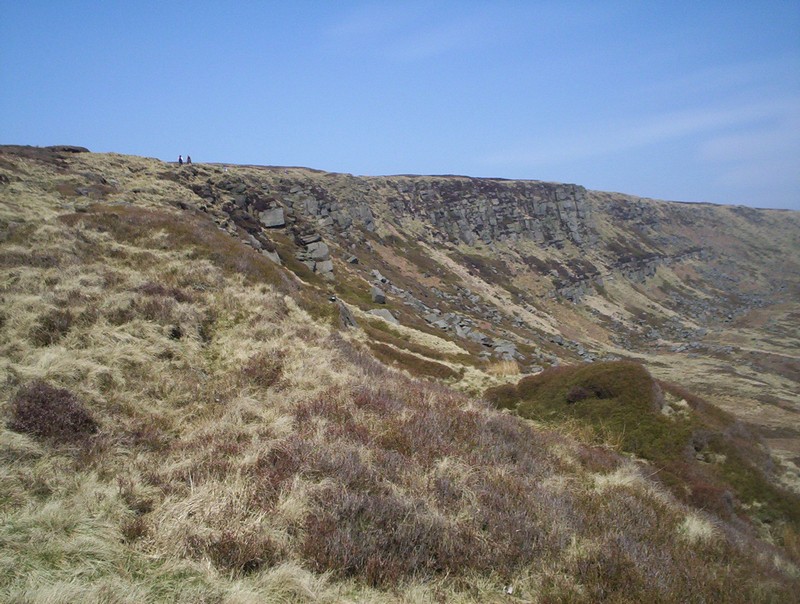
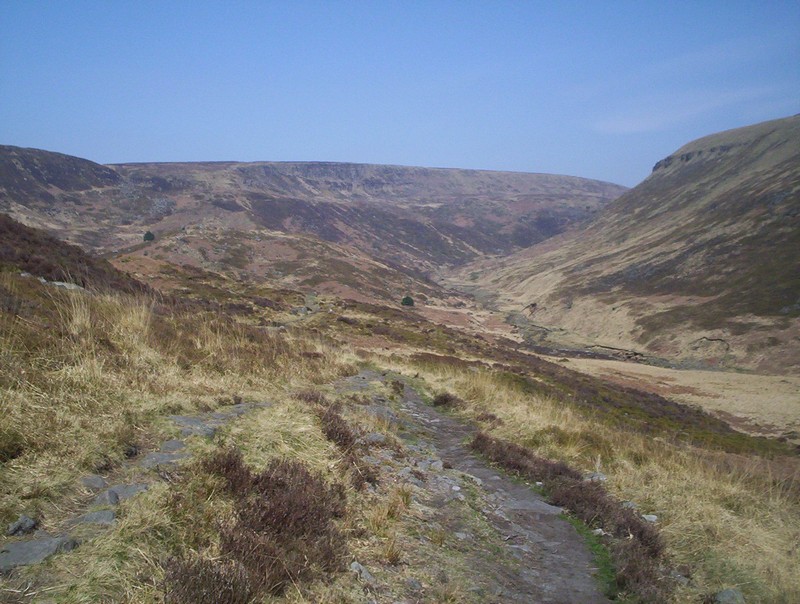
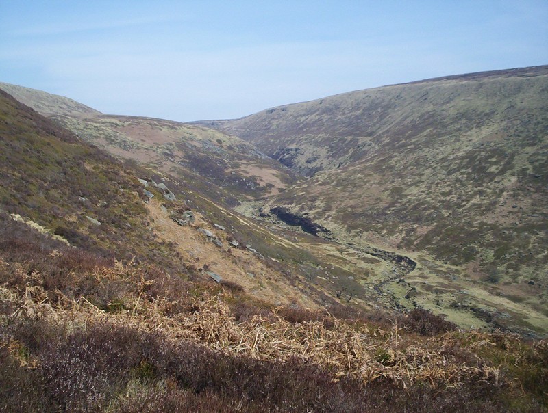
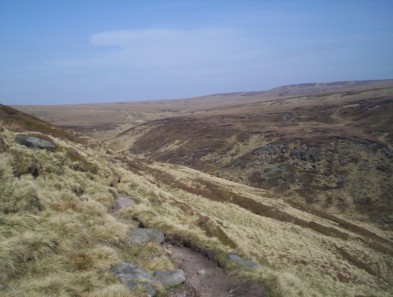
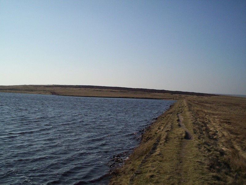
Laddow Rocks stretch out.....
.....and the way onwards to Black Hill can be seen in the distance.
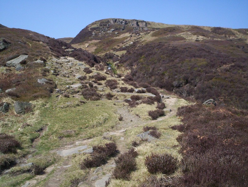
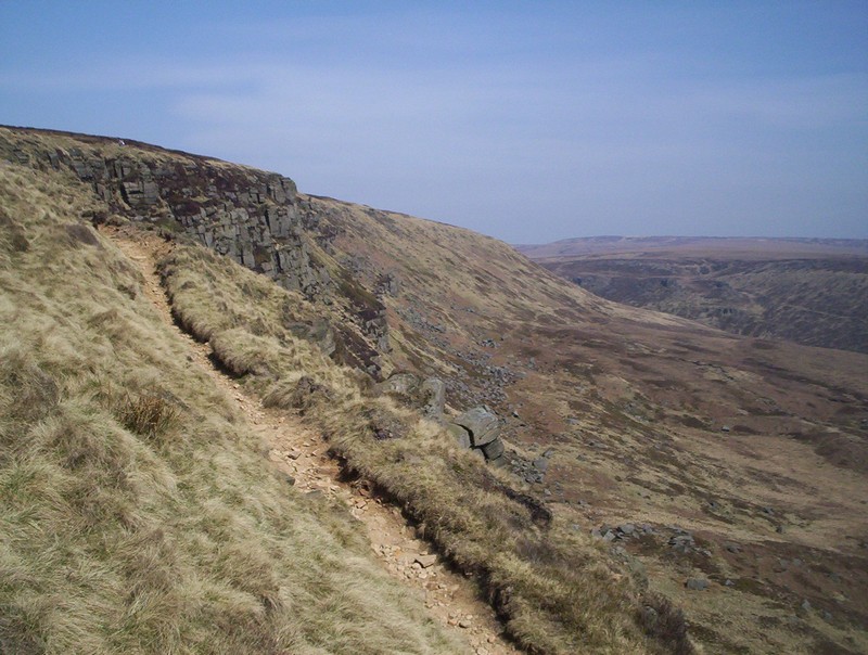
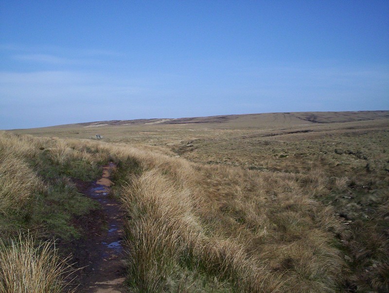
There's a clear path along the edge.....
before the path starts to drop slightly....
......to the upper part of Crowden Great Brook
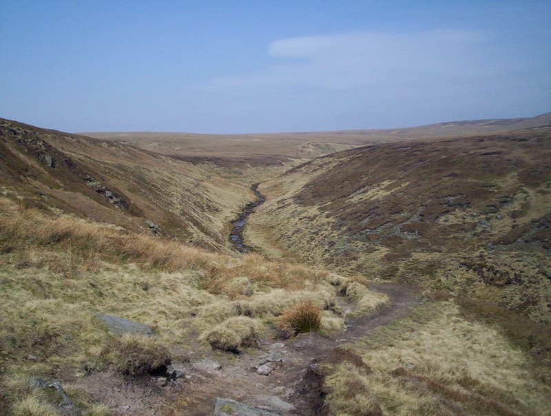
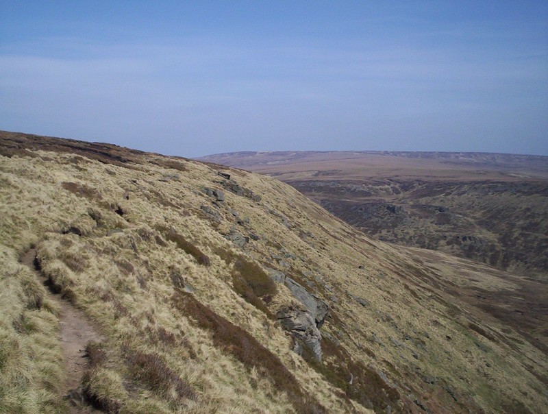
The PW follows this....
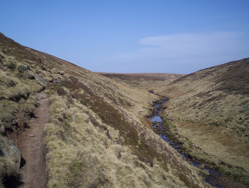
......on a pleasant path
.....as the valley slopes flatten out.
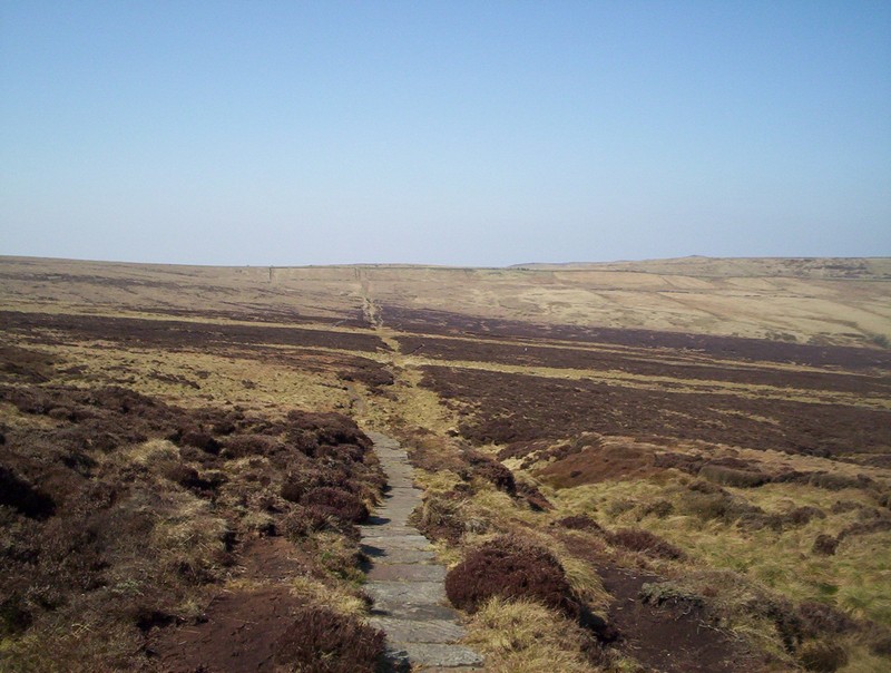
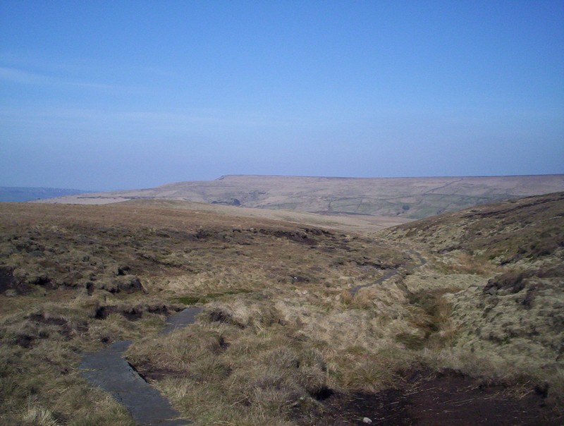
Ahead is the route across the moor....
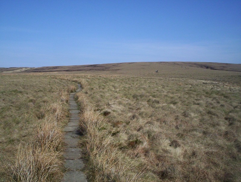
......which is often paved with slabs....
.......until Black Hill's summit cairn comes into view.
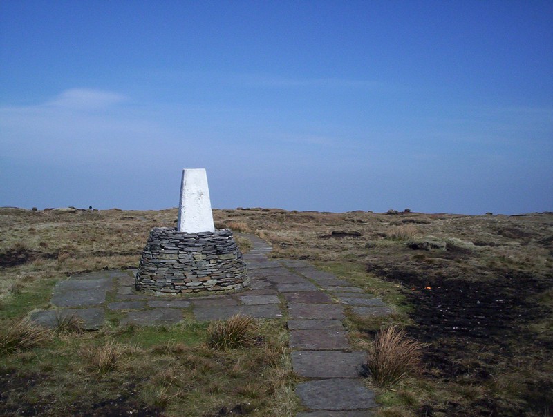
The trig point is built on this curious raised platform.
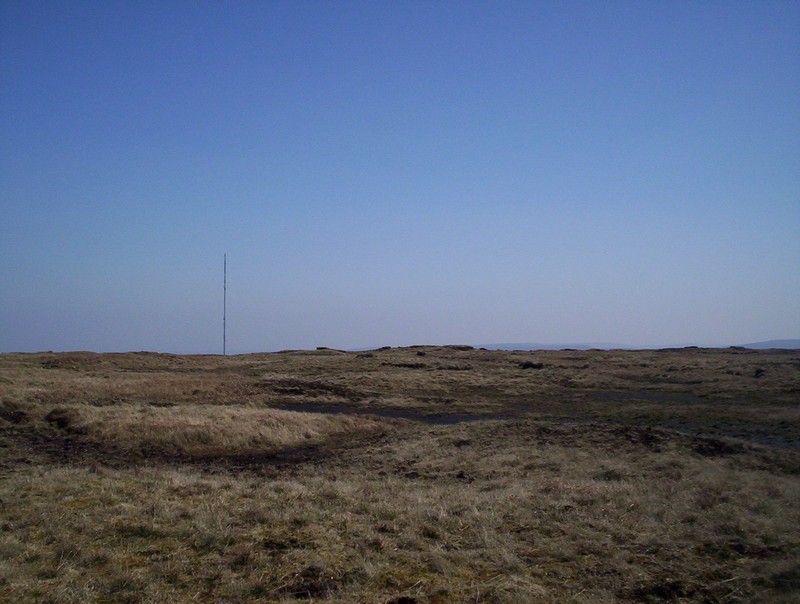
Holme Moss television transmitter can be seen. There are several aircraft wrecks on Black Hill and I met an enthusiast trying to locate them......
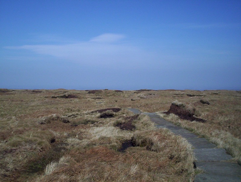
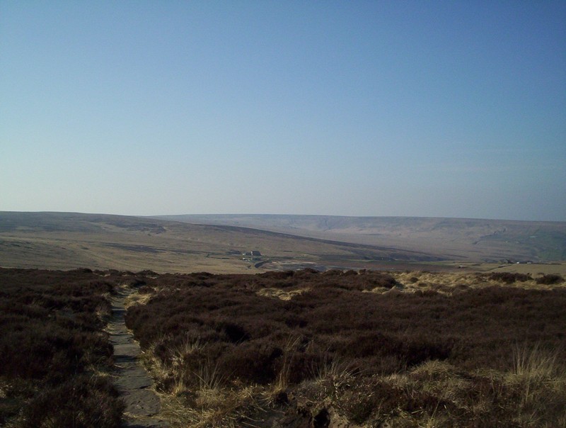
Beyond the summit the paved path....
.....drops down with Holmfirth in the background,
The PW becomes a broad path as....
......it heads for the Greenfield to Holmfirth road.
The path heads in an almost straight line...
....across the moor with just a few drops in and out of the various stream cloughs.
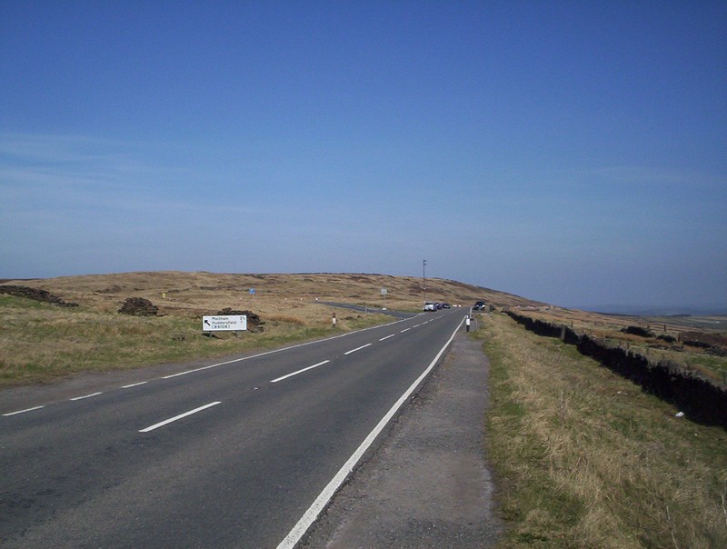
The main Greenfield to Holmfirth has to be used for a short distance before turning left onto a minor road..
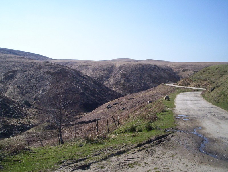
......until a gate is reached on a track leading across Wissenden Moor and down to the rervoirs.
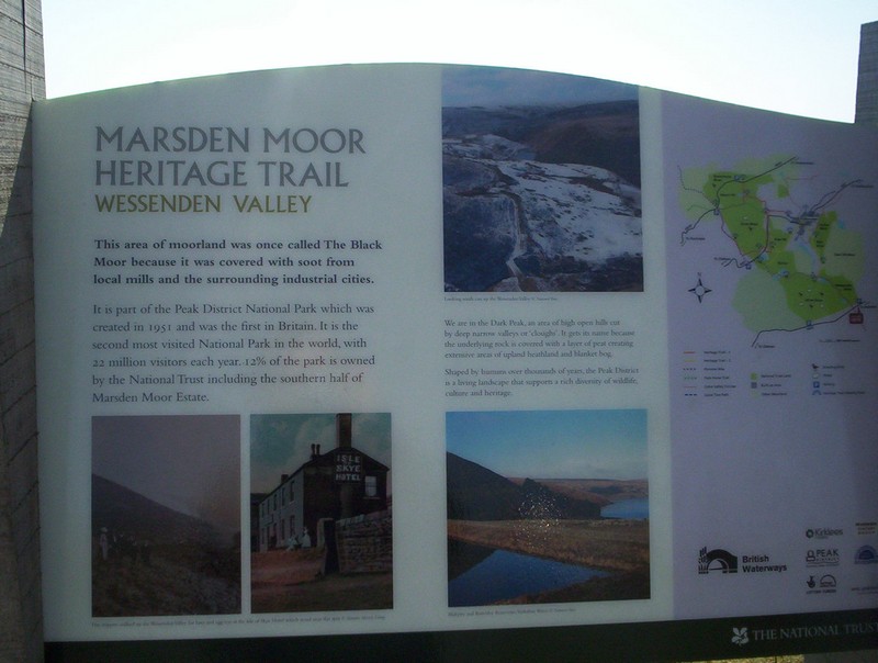
A notice board here commemorates the hotel that used to be located here before the rervoirs were built; the name of the inn was the Isel of Skye Hotel!!!
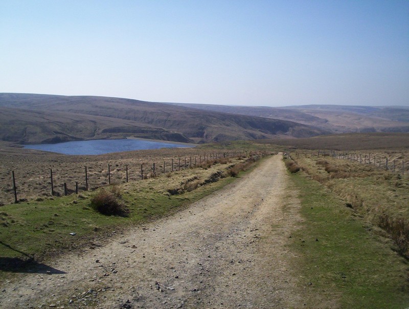
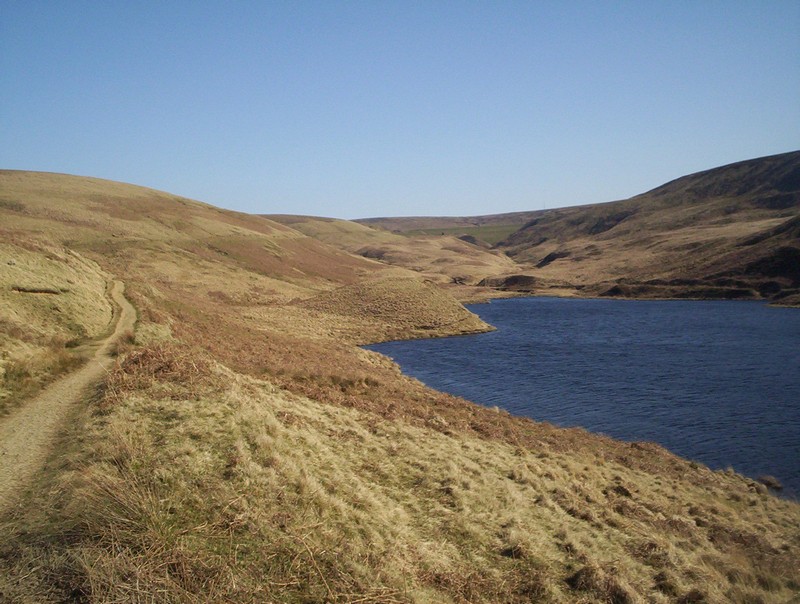
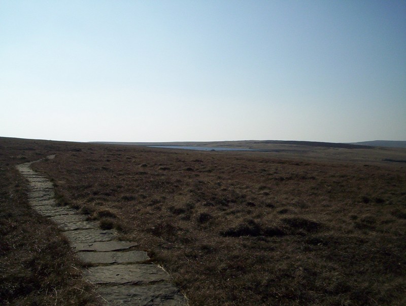
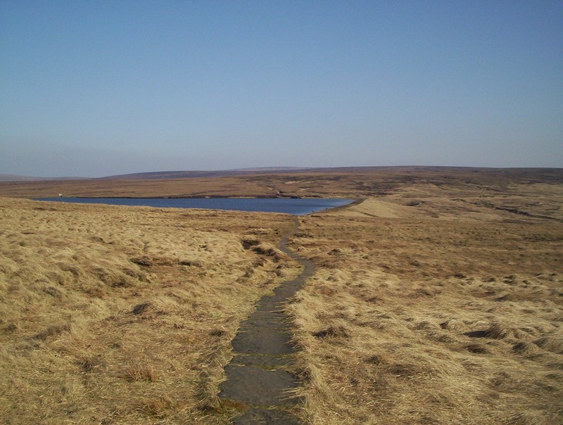
Wessenden Head Reservoir.
The PW continues down the valley with the larger Wessenden Reservoir in the distance.
It's an easy and fast section of the walk...
......past the reervoir...
....and farm buildings before reaching a quite dramatic section where various valleys converge.
Shortly after the reservoir the PW drops.....
.....steeply down into the valley....
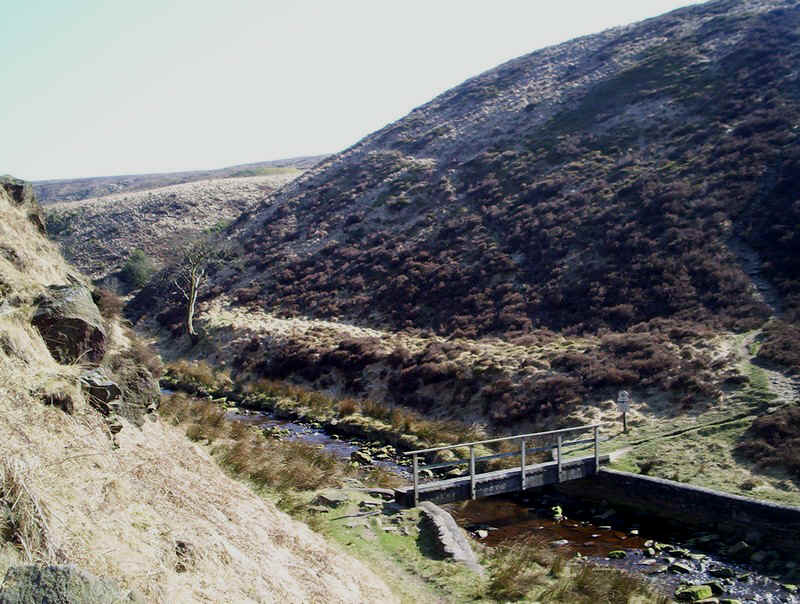
......to cross this bridge.....
.....and then clambers equally steeply up the other side.
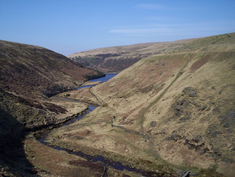
Looking back up towards the dam...

.....and further down the valley to the next reservoir.
Ahead lies the way to Black Moss...

.....at first across grass...
....and later on paving stones.
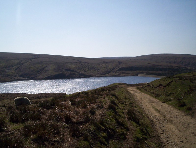
Eventually Swellands Reservoir, built to supply water for the Standedge canal tunnel comes into view.
Over to the north is Black Moss reservoir, also constructed by the canal company.
The PW crosses the dam of Swellands Reservoir....
.....and continues along its bank until it turns at right angles and heads across more paving stones...
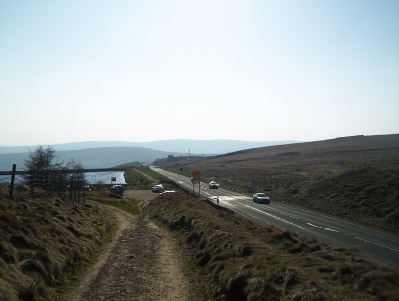
......towards Standedge and the main Huddersfield to Oldham road.
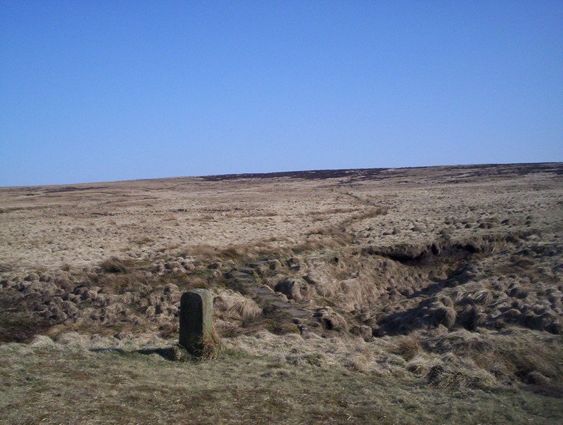
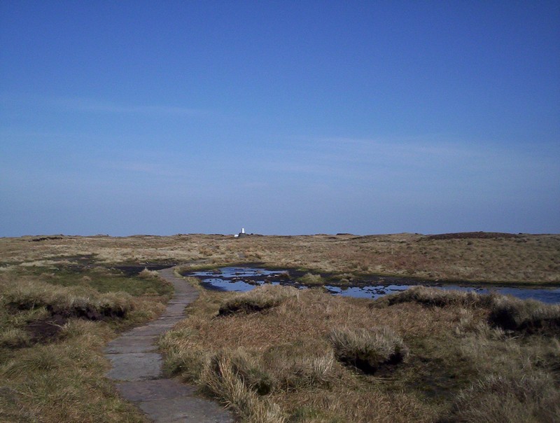
The PW joins the course of the old road over Standedge where there's a milepost...
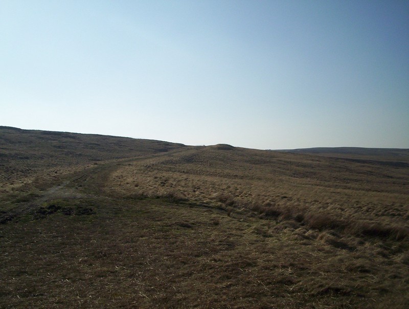
......before climbing towards the...
.....summit cutting, seen here looking towards Lancashire
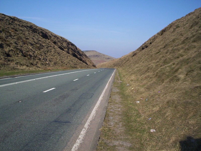
.....and Yorkshire.
Next Stage: Standedge to Hebden Bridge