Day 5 - Stanbury to Thornton in Craven
Click here for link to a GPS map of this section of the Pennine Way on Google maps
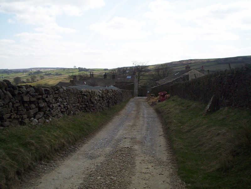
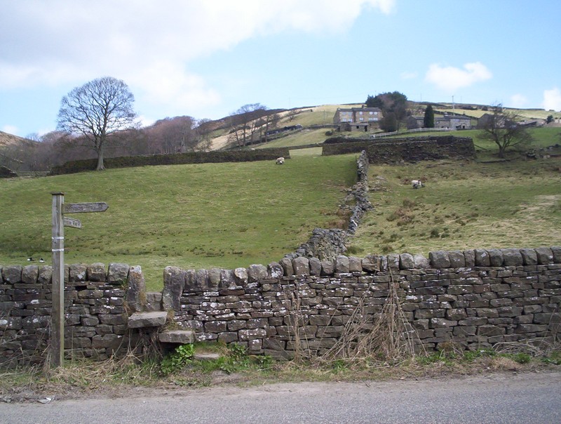
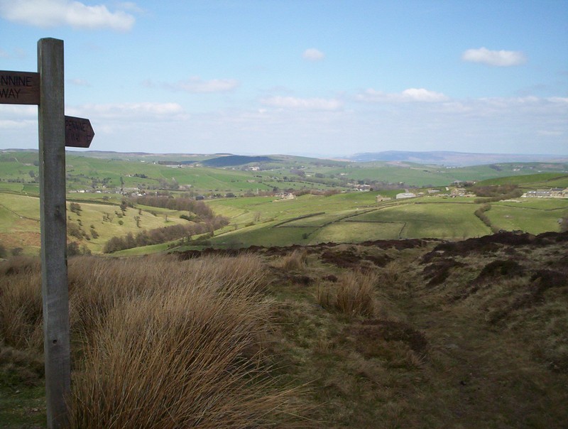
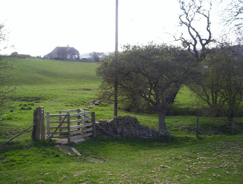
I returned to Keighley and took the hourly bus service up to Stanbury before walking up the short distance towards the Pennine Way at Lower Heights Farm.
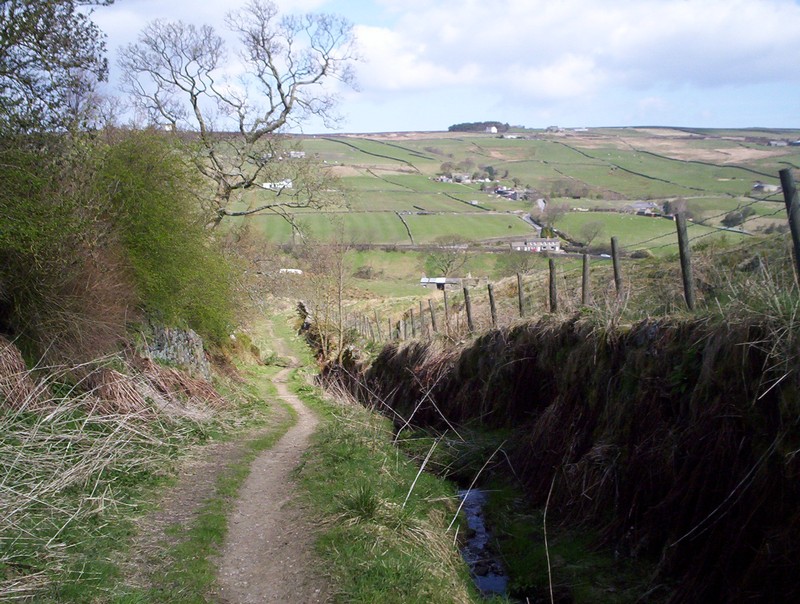
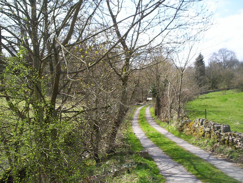
The PW folows this green lane downhill...
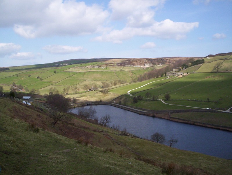
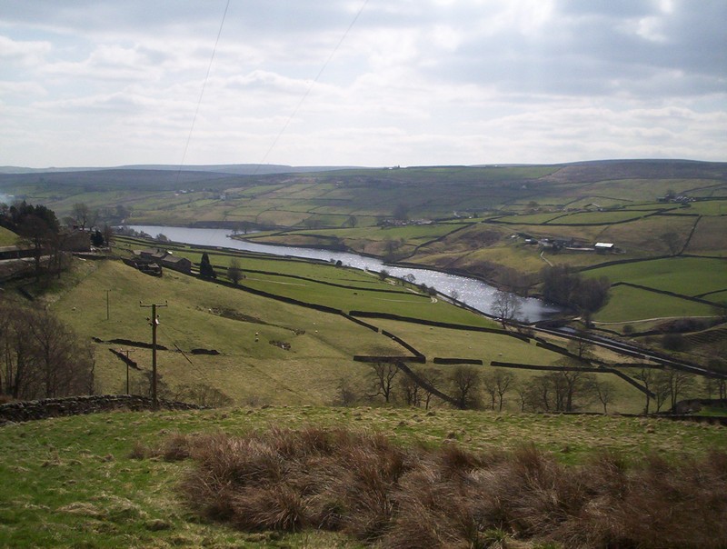
....towards Ponden reservoir....
......with the way forwards along the white coloured lane clearly visible.
The path goes down another sunken way between the fields....
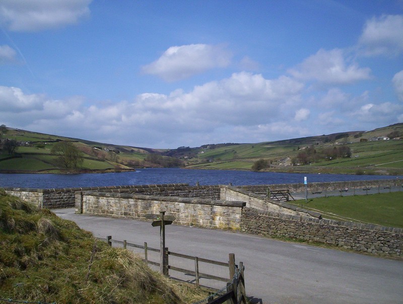
...to reach the road near the dam.
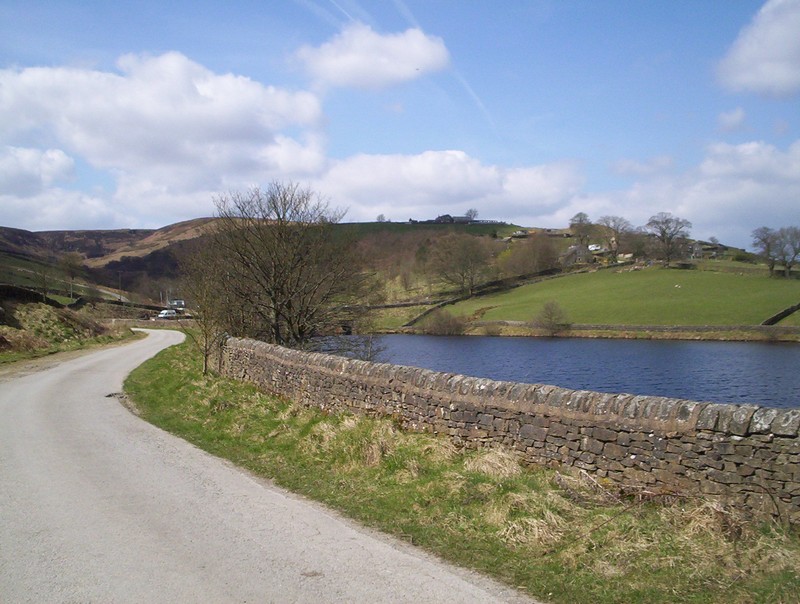
Turn left and follow the reservoir road...
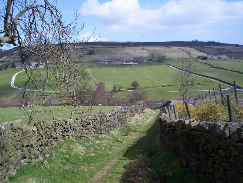
....and up past Ponden Hall.
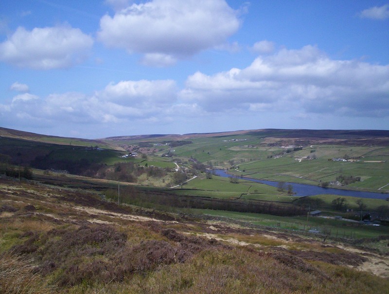
The PW is now quite high up...
.... leaving the road drops down ...
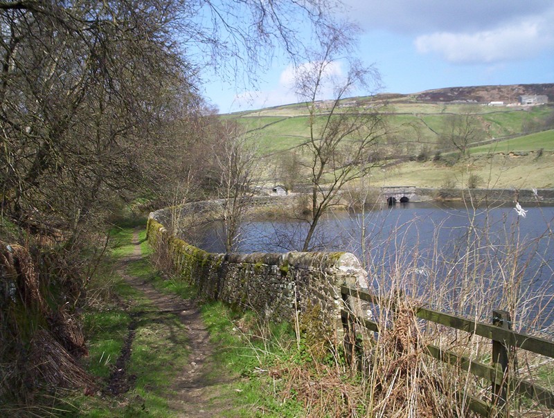
.....to reach the head of the reservoir at this bridge.
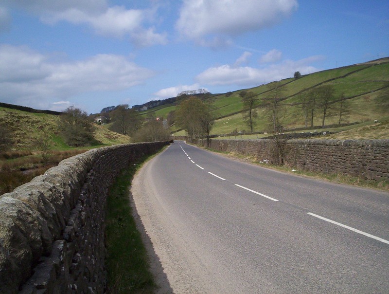
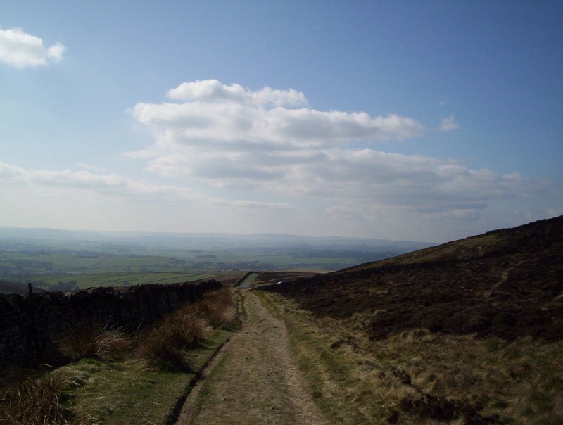
There's a very short section of road walking..
....before the path starts to climb through fields...
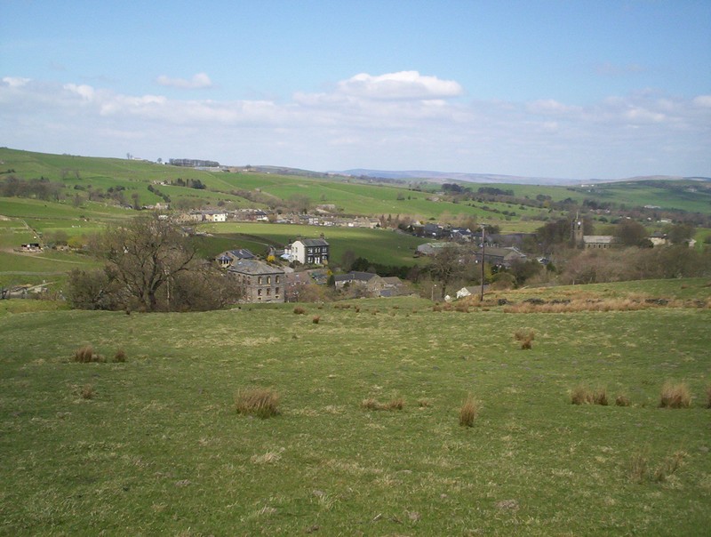
..at a small hamlet before leveling off ... to reach another road seen just beyond the houses.
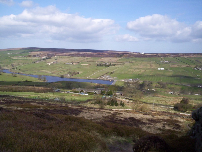
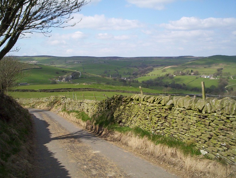
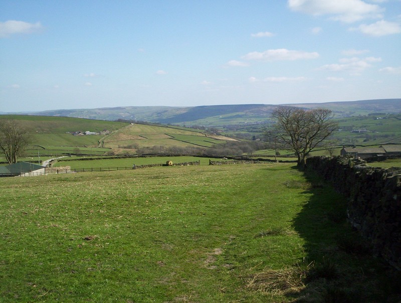
Another short section of road walking follows with this view looking down on the reservoir.
The PW doubles back at this junction.....
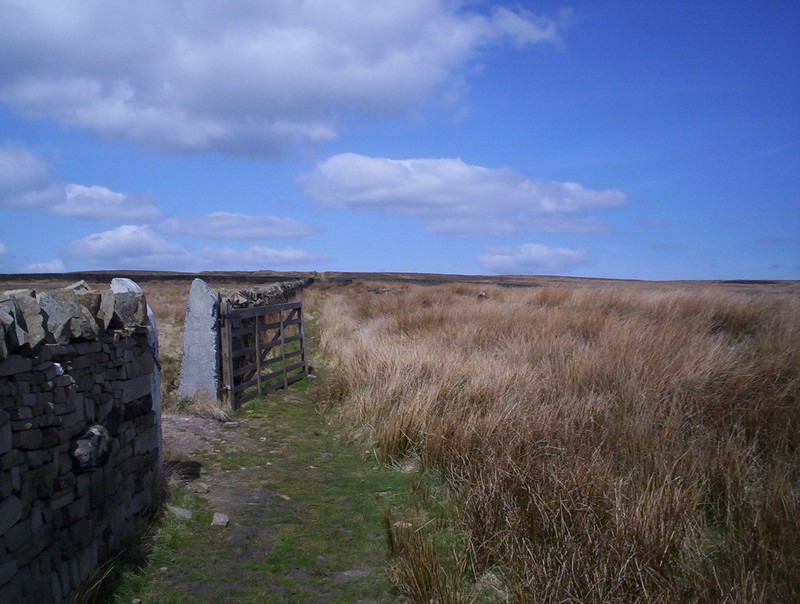
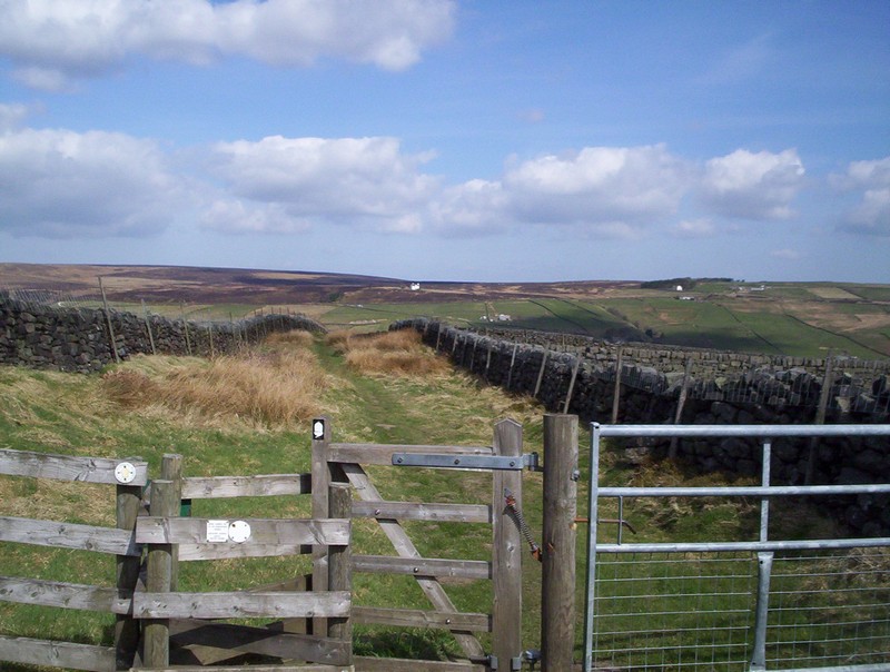
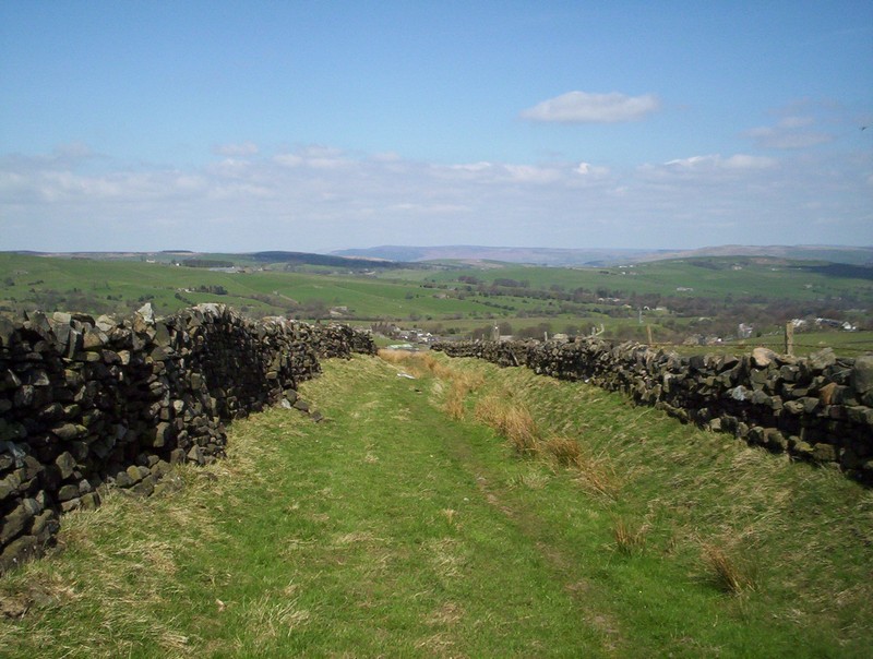
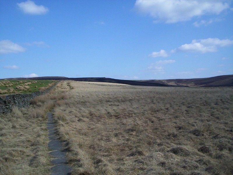
.....and heads across Oakworth Moor by a wall ......
.....until it suddenly ends.
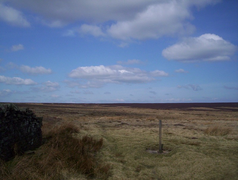
The way forward is clear enough across the moor...
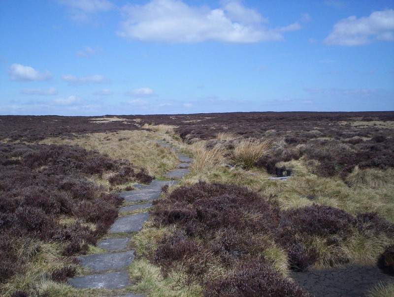
.....and, once again, is paved in places.
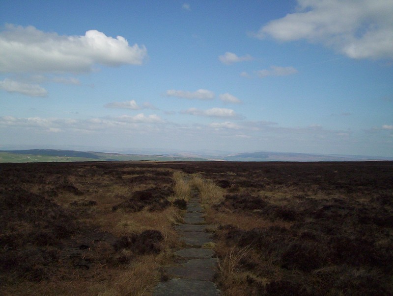
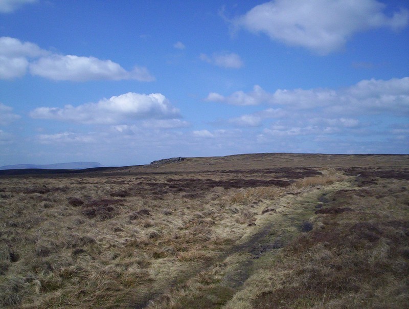
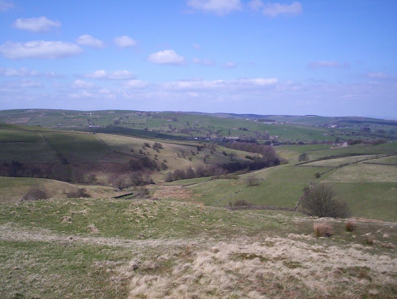
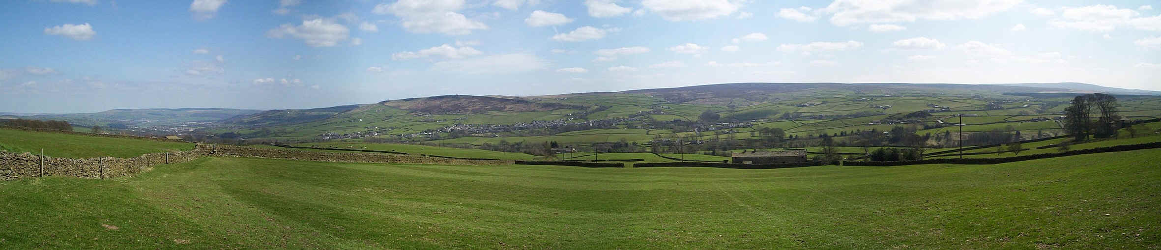
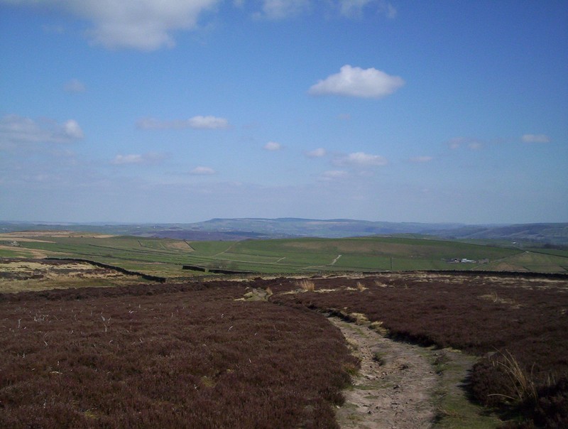
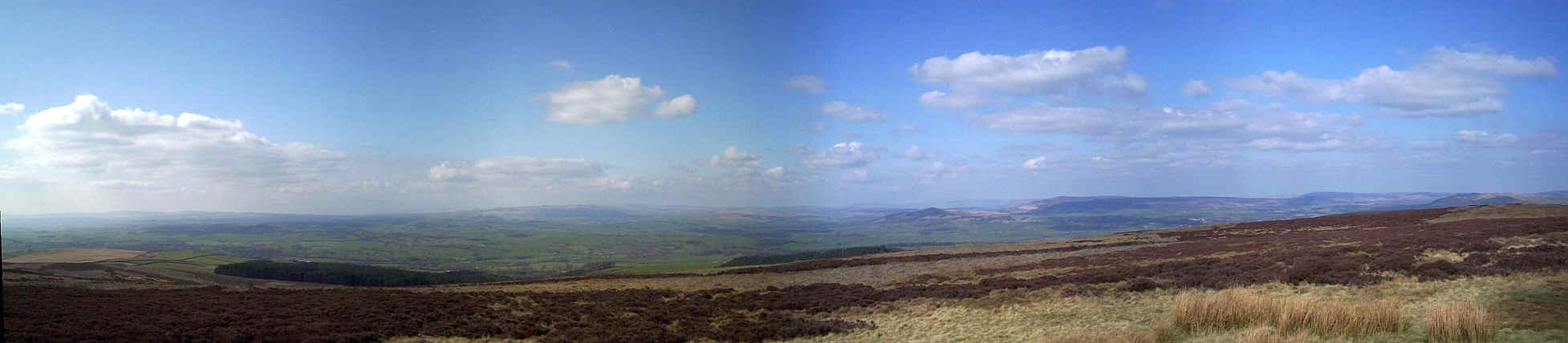
The views begin to open up northwards as the PW heads across Ickornshaw Moor.....
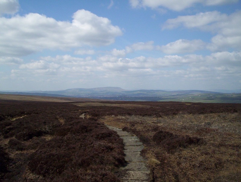
......with the first view of Pendle Hill in the distance.
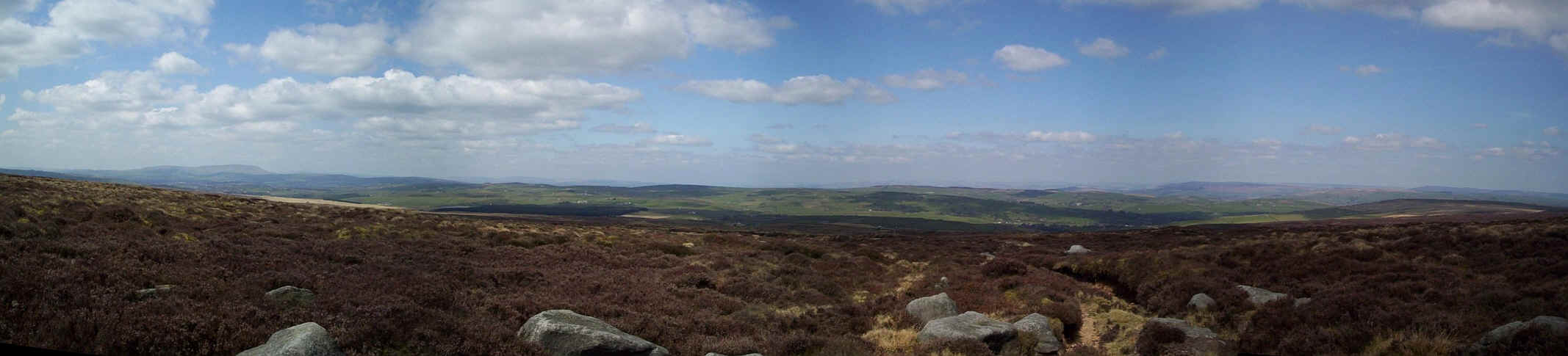
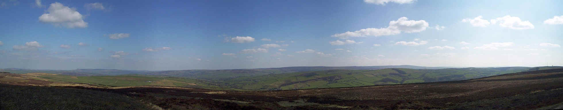
A panoramic view from Ickornshaw Moor reaching from Pendle on the left to Airedale on the right. Click on the photo for a larger image.
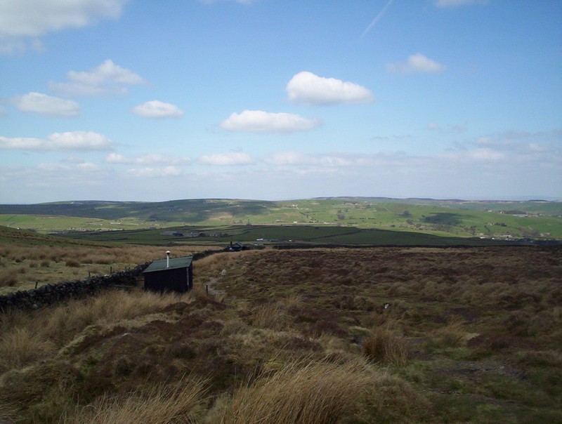
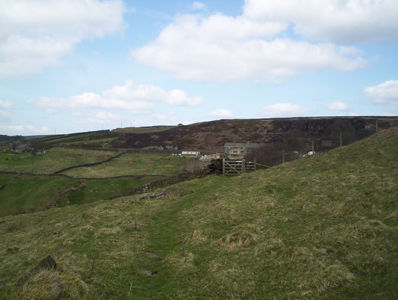
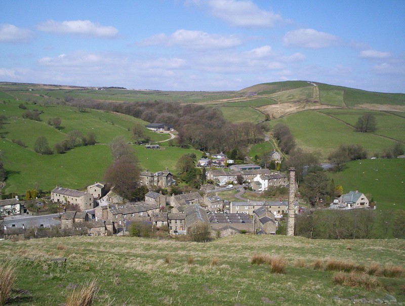
As the PW drops down to Ickornshaw a series of small cabins are passed - they are apparently shooting cabins and are clearly well cared for and inhabited at times.
The PW twists and turns in this section and at times it's poorly way-marked and navigation is a little confusing.
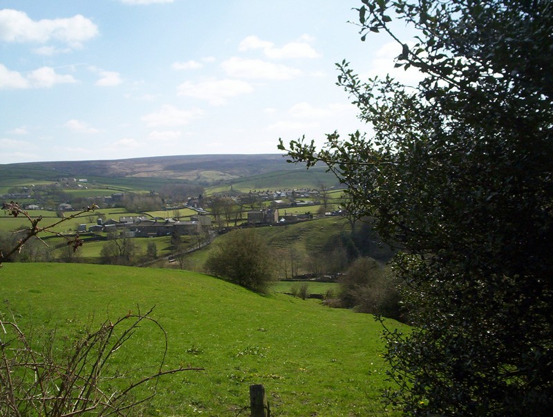
In the distance can be seen Ickornshaw....
.....whilst the PW follows a mixture of tracks, green lanes and farm access roads.
There's a rather atractive small waterfall near Lumb Farm where the Lumb Head Beck tumbles over a rock outcrop, but it was too difficult to photograph, so here's a photo of the beck itself.
Back on a green lane...
.....the PW crosses a field to a style...by the main Keighley to Colne road. The village of Ickornshaw lies ahead whilst the larger village of Cowling is off to the right.
Leaving Ickornshaw the PW skirts some of the housing on field tracks....
.....before turning left on to this lane towards Gill Bridge....
.....where it turns left.....
and then starts to climb onto Cowling Hill. This is the view back to Ickornshaw.
The panorma shows the view looking back from Cowling Hill. Click on the photo for a larger image.
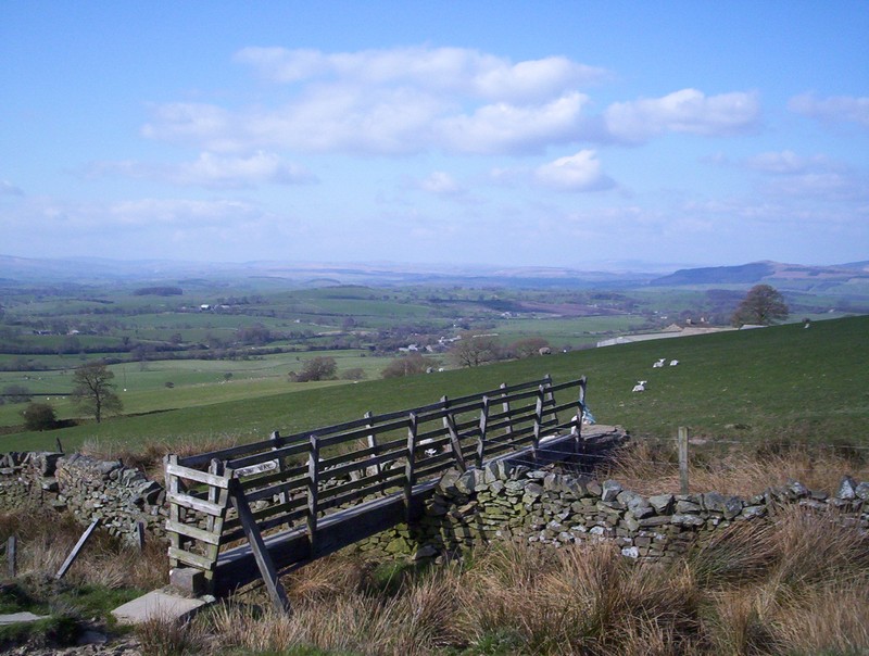
Beyond the footpaths there's a short section along lanes before a...
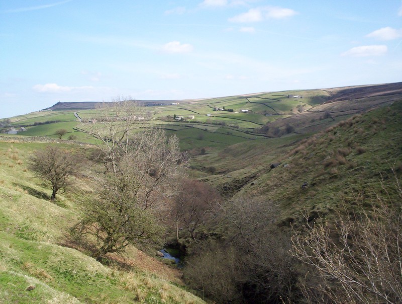
drop down towards the Surgill Beck.
The path becomes very indistinct through the fields but eventually drops down to a ford and then climbs....
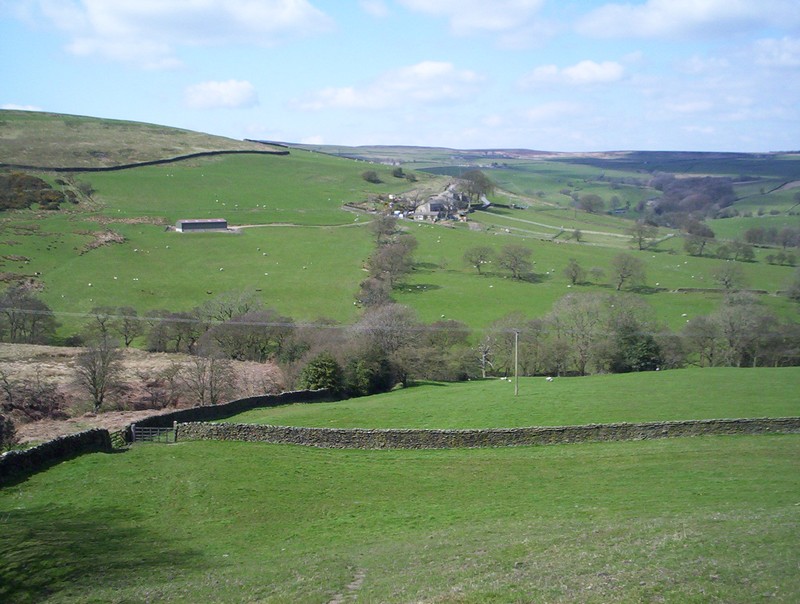
......up to Woodhead Farm seen here looking back.
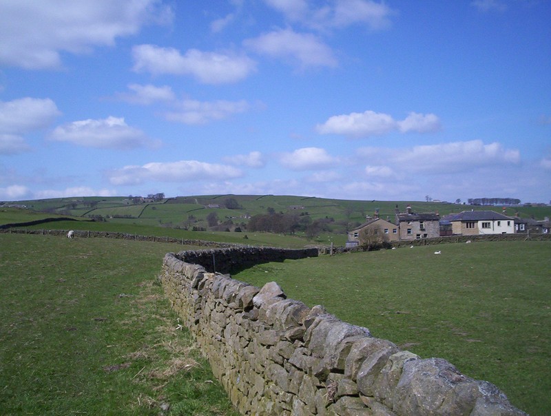
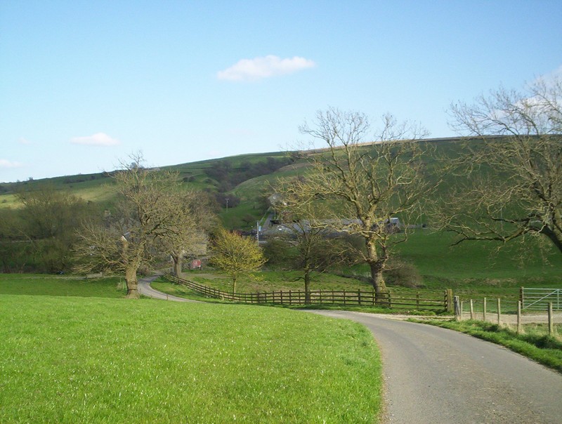
Leaving the farm lane the PW drops down over grass to the village of Lothersdale with its old mill and chimney. The PW continues up the opposite hillside on the broad track leading to a modern barn.
Looking back downhill towards Lothersdale. From this point the PW continues across meadows and along walls to reach a road near Kirk Sykes Farm.
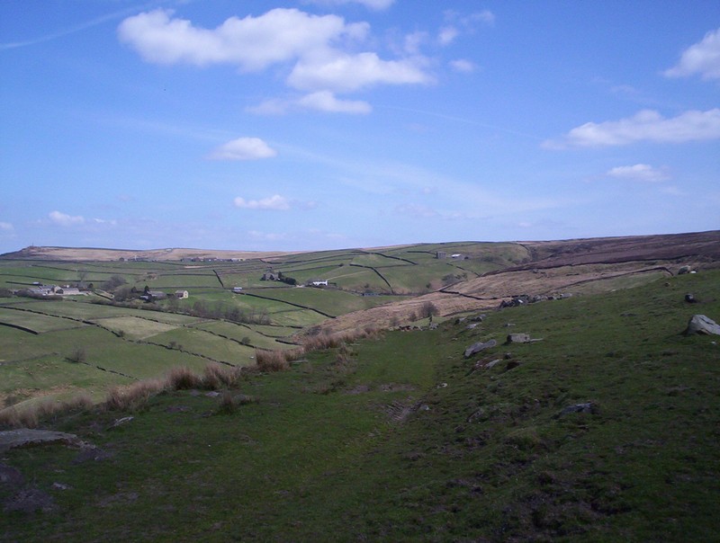
Beyond the farm the PW crosses the heather moorland of Elslack Moor for several miles on a clear path.
A panorama looking back from Elslack Moor towards Lothersdale.
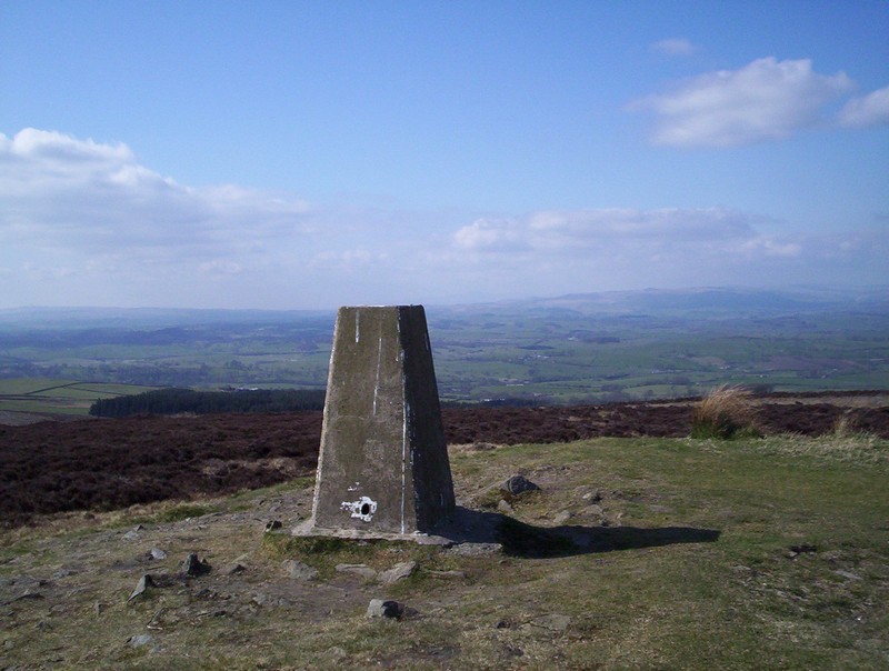
Eventually the way arrives at the trig point at Pinhaw Beacon 386m above sea level, where once again the views open up.
The panorama from Pinhaw Beacon looking towards Thornton in Craven. Click on the photo for a larger image.
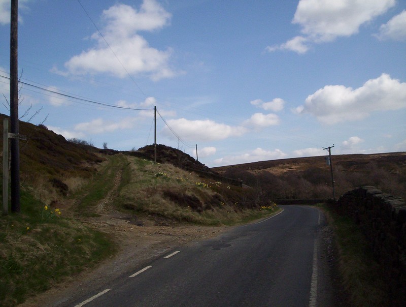
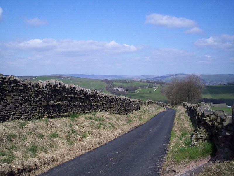
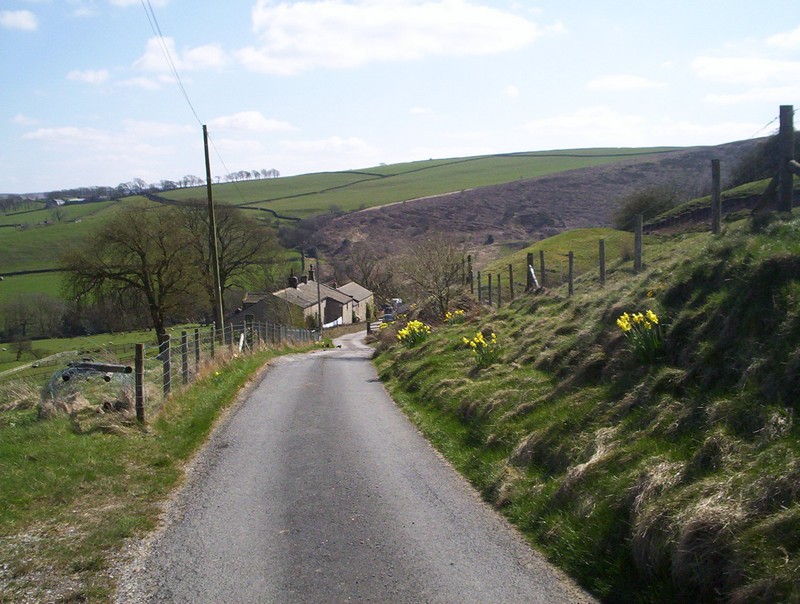
Beyond Pinhaw Beacon the PW starts its descent, initially on a unpaved lane and then....
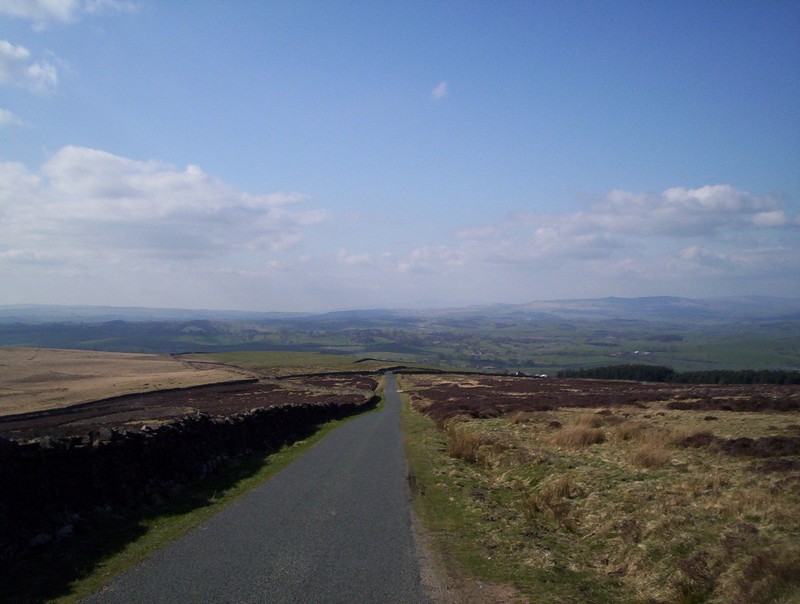
.....for aabout half a mile along this paved lane before....
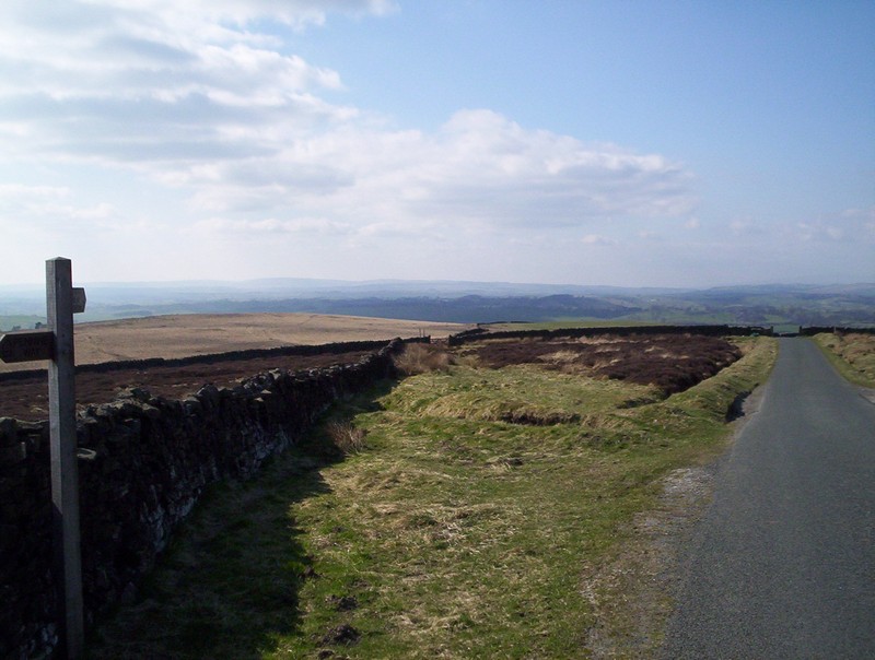
......heading of by a wall...
.....along a path made margely of paving stones and duckboards.
At this bridge the PW crosses a stream and then heads across farmland....
.....in many places without any tracks...
.....although the power line provides an obvious route towards...
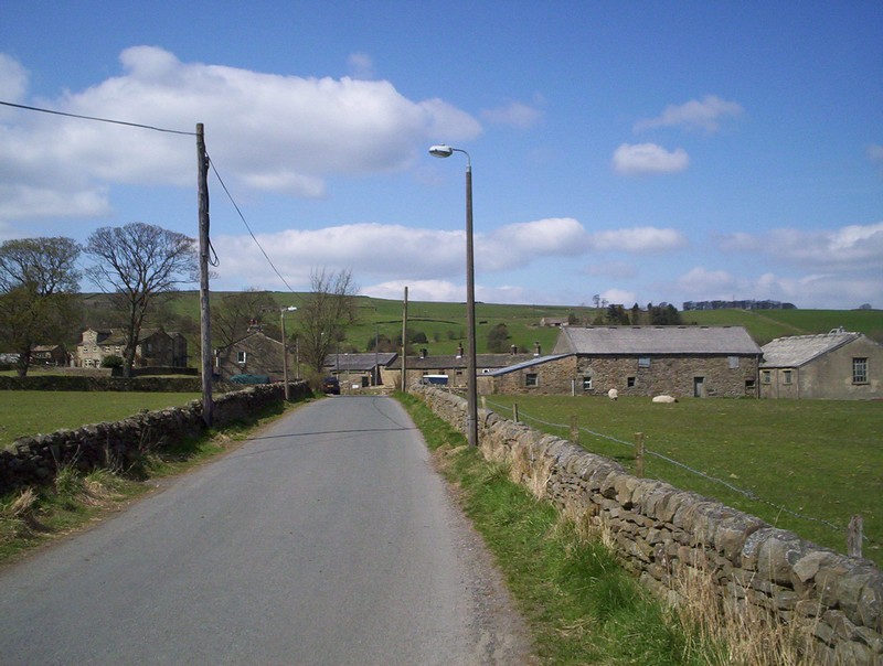
....a waymarked style not far from Brown House farm.
Beyond the farm the way into Thornton in Craven is along paved lanes....
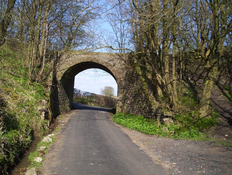
......including under these curious arch, believed to be an old railway.
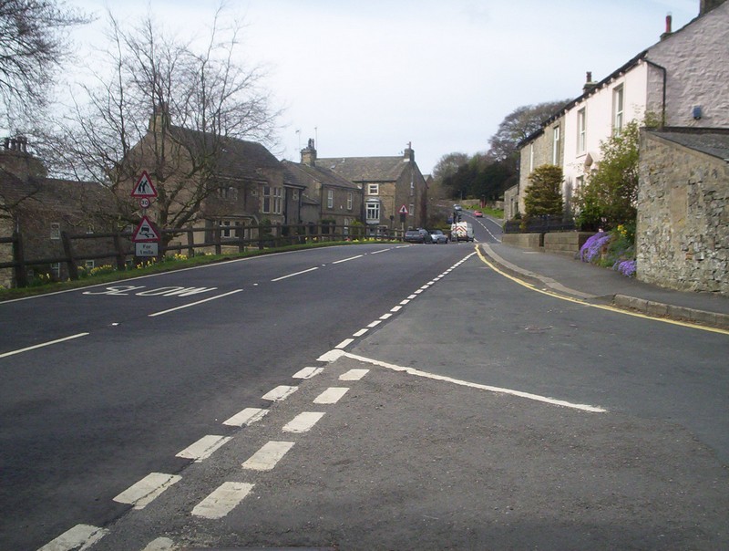
Thornton in Craven lies on the main Burnley to Skipton road with a good bus service. I returned to skipton to take the train home after another interesting days walk.