|
|
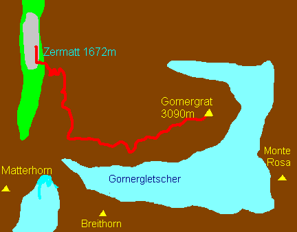
Gornergrat
(walked in 2001)
|
|
Map not to scale
This day was to
prove to be the highlight of our holiday. We awoke at 7 to find the
Matterhorn completely clear of cloud and the moon setting behind it. It
was strange to be able to see the moon actually moving – the
Matterhorn acting as a fixed point of reference. Twenty minutes later we
couldn’t see the mountain as the cloud rolled down the valley. Our
spirits dropped but we needn’t have worried. We set off about 8.30
through the village to Winkelmatten before taking a path signposted for
Riffelalp, which led off uphill through woods slowly zigzagging uphill,
over the Gornergrat railway and up the hillside opposite the Rothorn
before emerging at Riffelalp station.
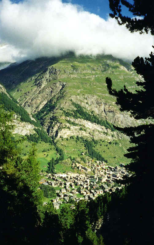
Looking down to Zermatt from the path to Riffelalp
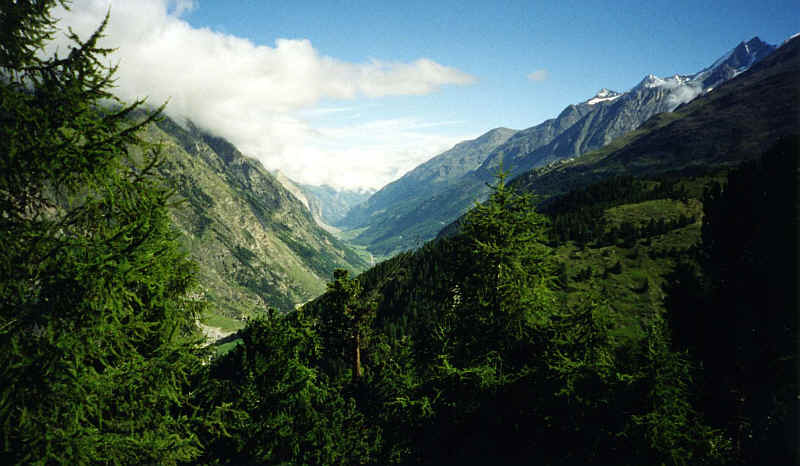
Looking north down the Mattertal from the path through the woods

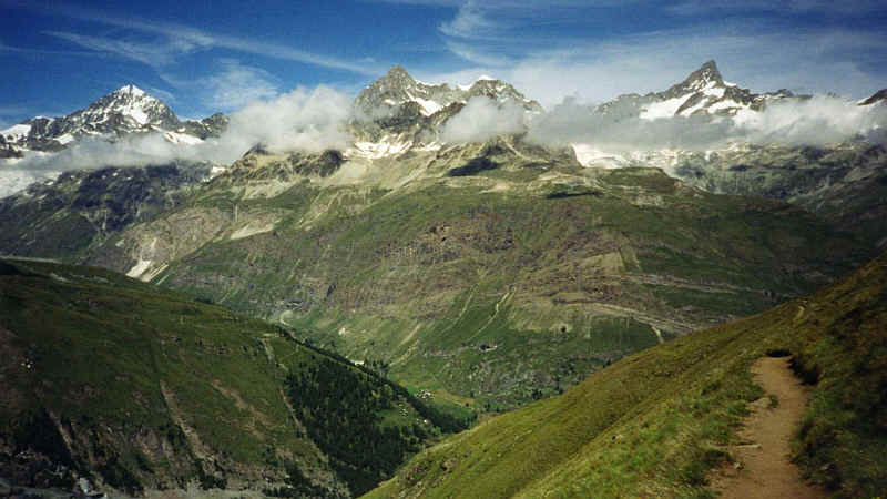
The Mischabel range and the Mattertal from above Riffelalp
Here we saw the recently restored tramway that links the station with the Riffelalp Hotel. This has just been restored after a fire damaged it some years ago. The view of the Matterhorn from the terrace of the restaurant was spectacular to say the least.

The Matterhorn from the path above Riffelalp
Heading for the
Gornergrat we chose the route that skirts the SW side of the Riffelberg
and passes north of the Riffelhorn to arrive at the Riffelsee. By now we
were high enough to see both the mountains in the Mischabel range above
Saas Fee and the mountains west of the Mattertal such as Dent Blanche
and the Weisshorn. To the south were the Breithorn and Kleine Matterhorn
and their glaciers.
The Breithorn and Kleine Matterhorn from the path above Riffelalp
Dent Blanche, Arbenhorn and Gabelhorn
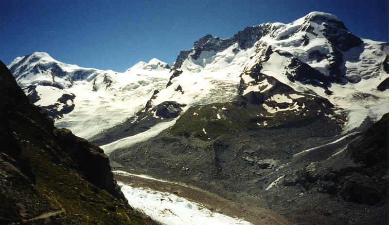
The end of the Gornergletscher with Liskamm, Castor, Pollux and the Breithorn (left to right)
On reaching the first of the two lakes we were delighted to be able to photograph the Matterhorn and its reflection in the lake.
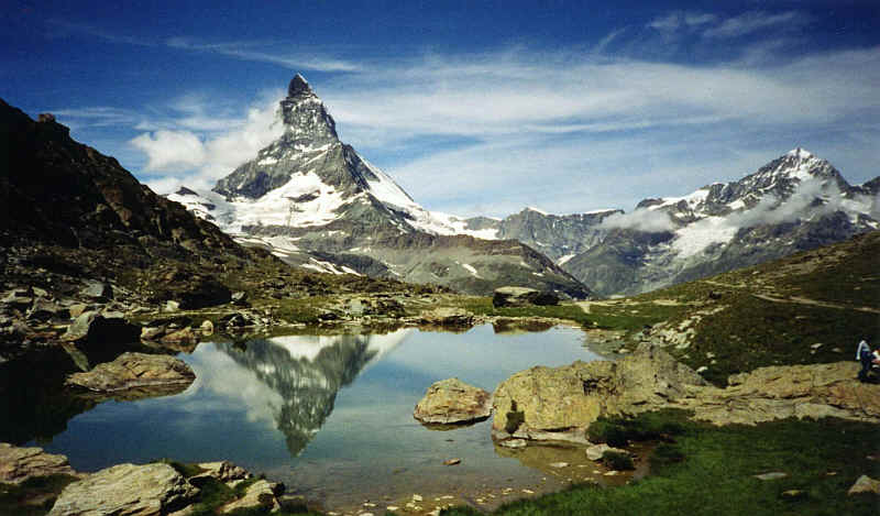
The Matterhorn reflected in the small lake near the Riffelberg
We’d hardly met anybody on the walk so far but as we climbed higher we met a stream of walkers, many of them Japanese coming downhill from the Gornergrat - far better to climb than to descend because the views become better as you ascend.
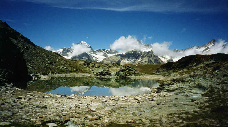
Another reflection - this time it's Dent Blanche
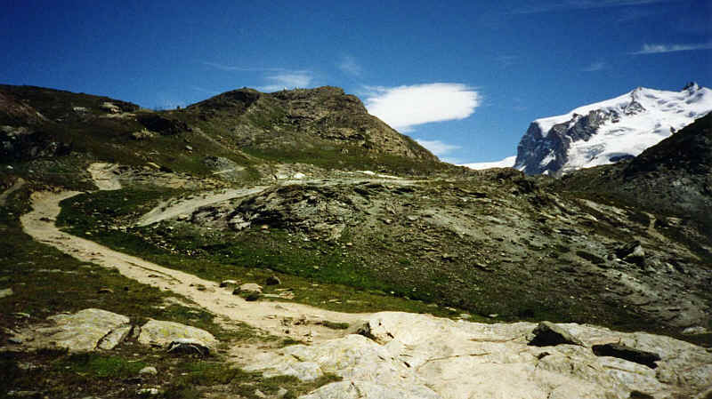
Just before we
reached the Gornergrat summit we took a side path, which leads down to
the Gornergletscher. The sight that met our eyes was probably the most
spectacular of all that we have seen in our walks so far.
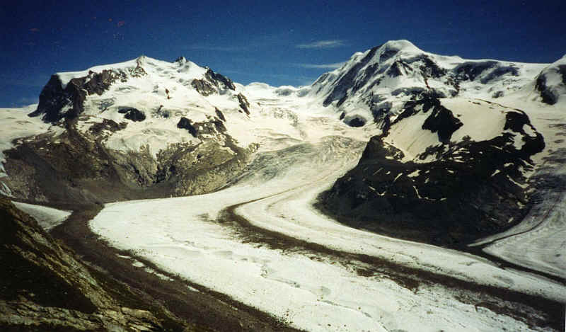
The Gornergletscher with Monte Rosa and Liskamm
In the
background were Monte Rosa, Liskamm, Castor, Pollux, and the Breithorn
(the crest of which lie partly in Switzerland and partly in Italy). In
the foreground the incredible Gornergletscher spread out with trailers
of moraine both on the edges and in the middle of the glacier. With the
clarity of air conditions it was difficult to realise that much of what
we could see was more than 10km away.
The path to the Gornergrat summit
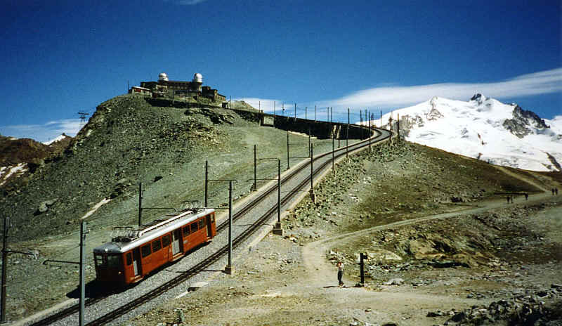
A train arriving at the Gornergrat summit
Returning to the
path we met hoards of people walking down the hill from the railway
station, many of them totally unsuitably shod for what is a very
demanding and rough mountain pass. How some of them didn’t injure
themselves is a mystery. Towards the top and above the 3000m level
Stephen experienced his usual “mountain sickness” of a slight
headache and increasing breathlessness due to the thinning of the air.
Fran meanwhile stomped uphill – still SHE wasn’t carrying the bag.
The summit of
the Gornergrat is crowned by a hotel and restaurant as well as an
observatory, the domes of which are visible for miles. A short climb
takes you to the very summit from where a complete 360-degree panorama
is to be seen. The only mountain covered in cloud was the Allalinhorn
and with such a perfect view why complain?
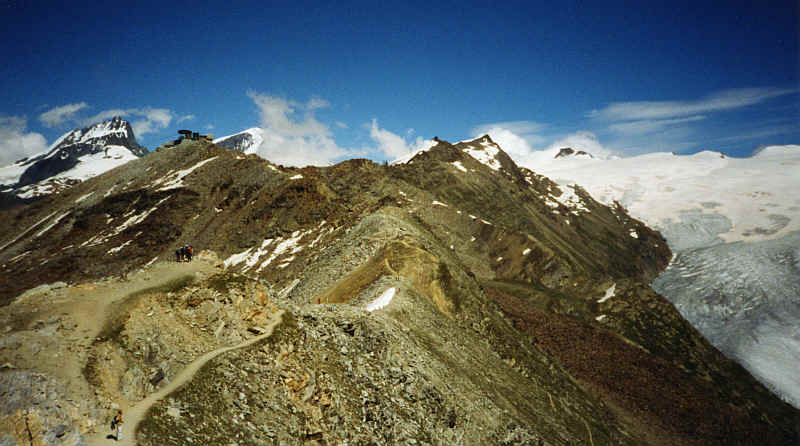
Looking along the Hohtaeligrat ridge from the summit at Gornergrat
After the
obligatory tea and cake we descended in comfort on one of the new trains
of the Gornergratbahn to Zermatt.